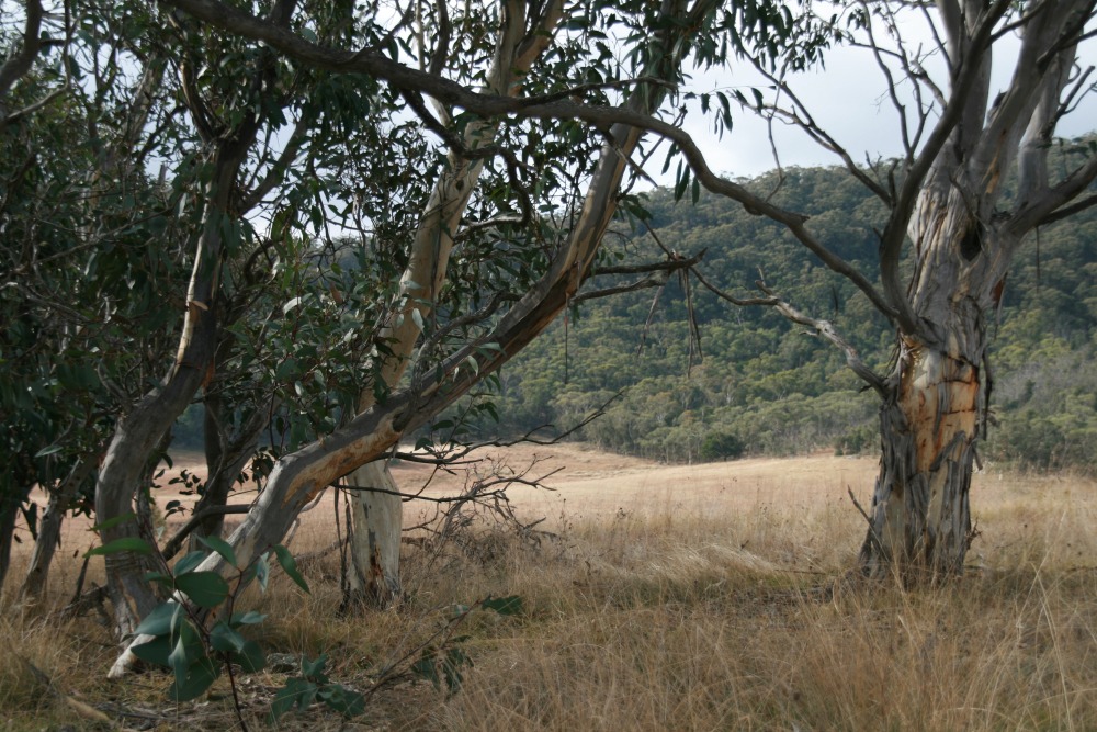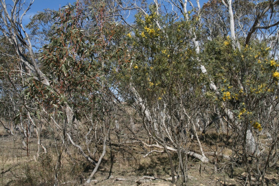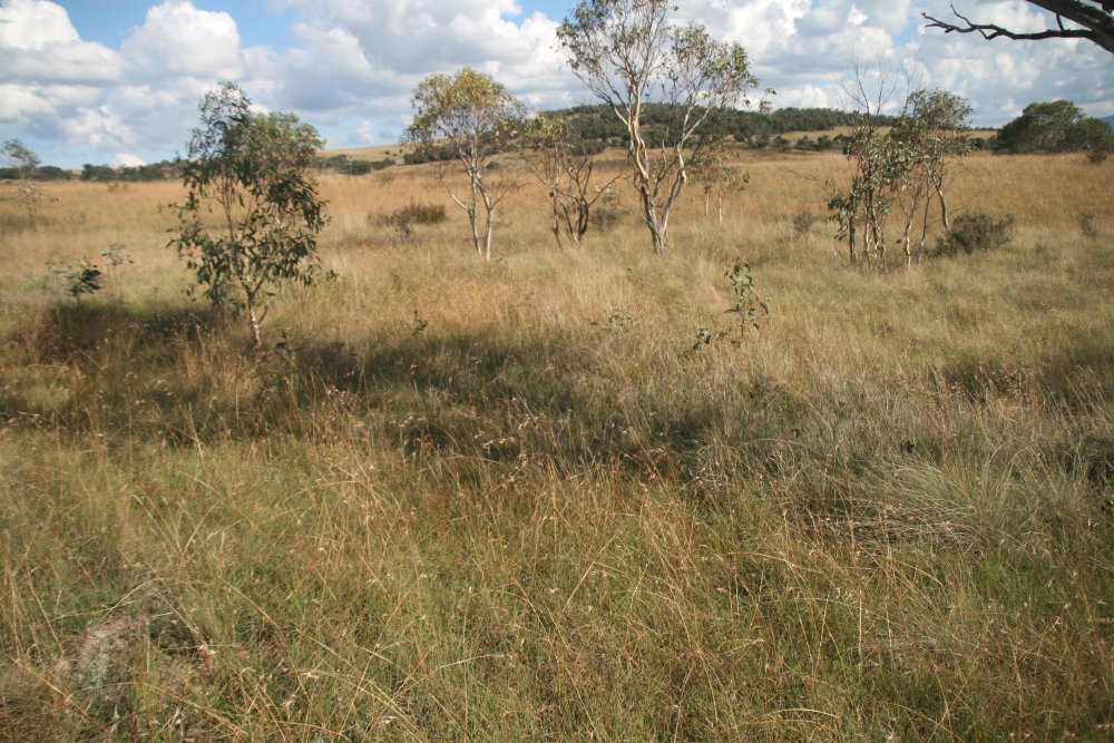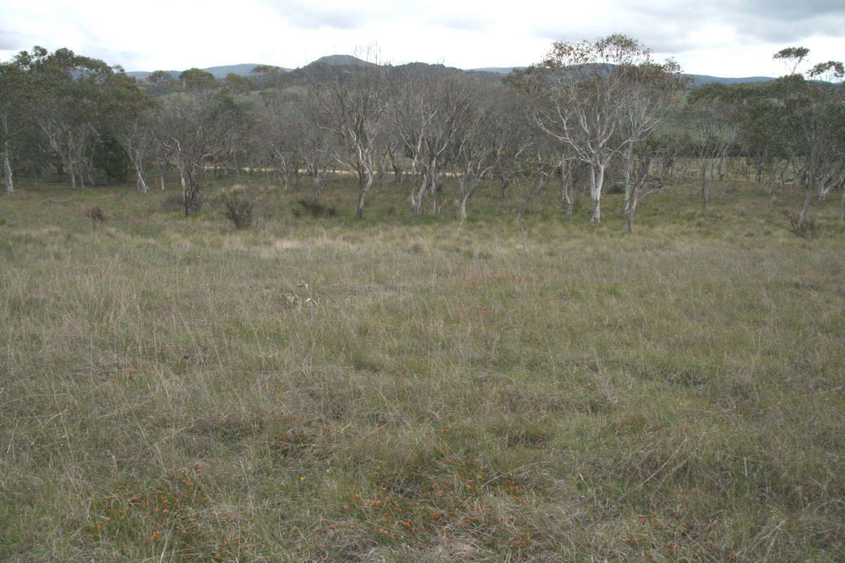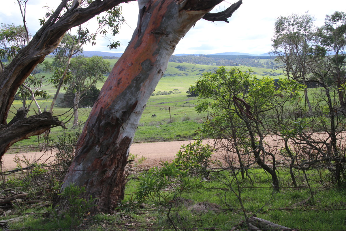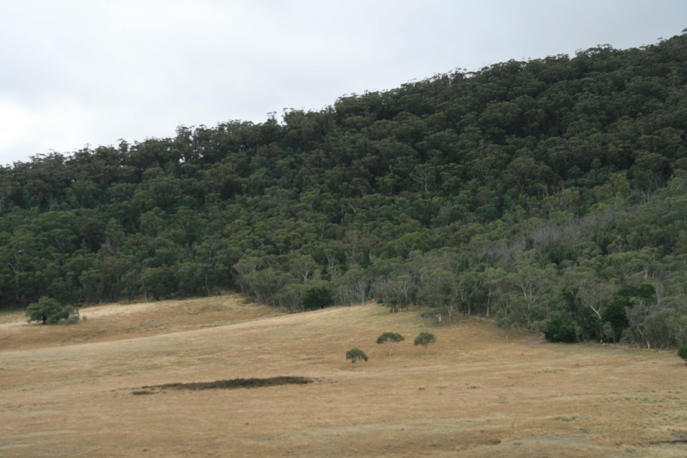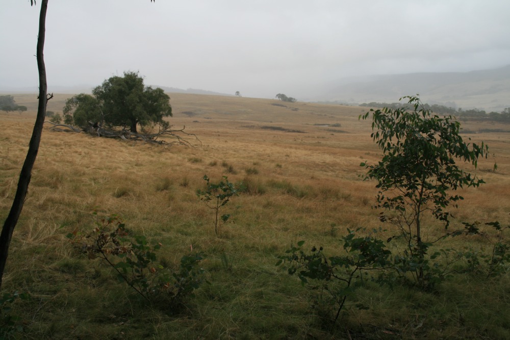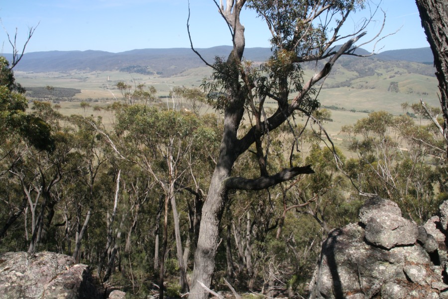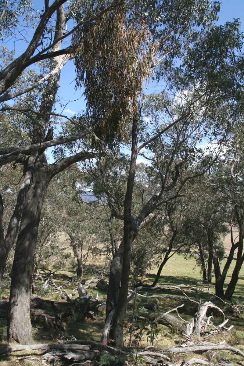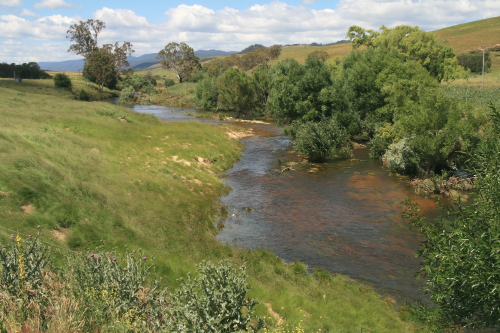
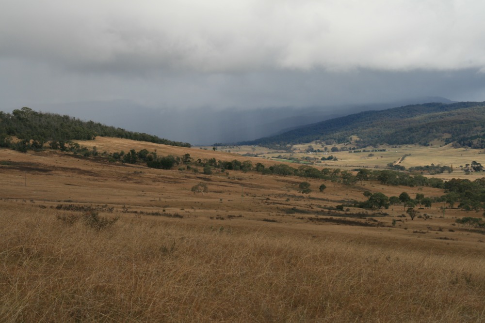

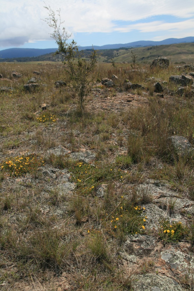
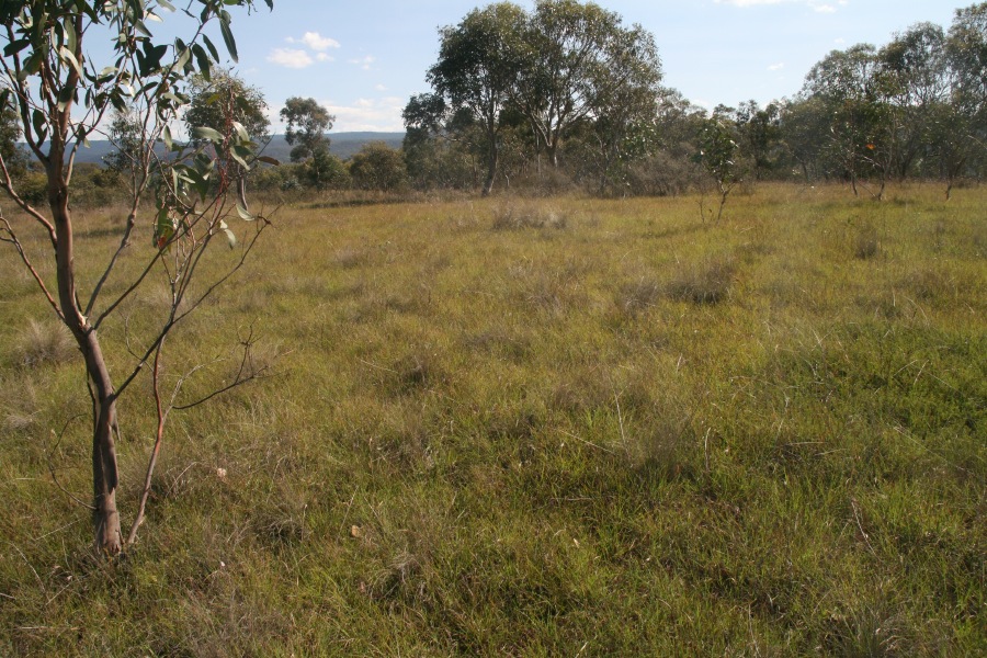
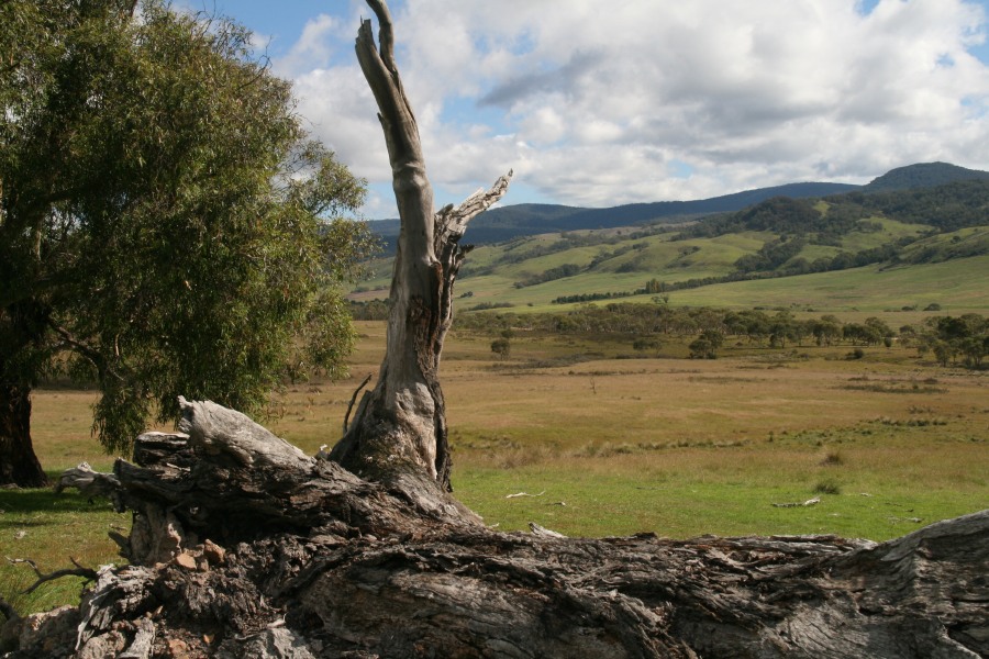
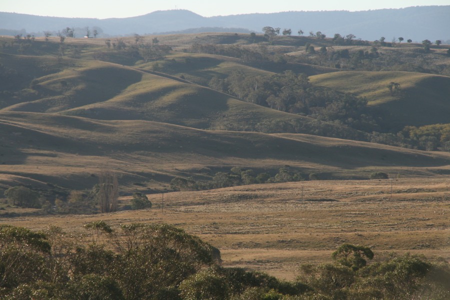
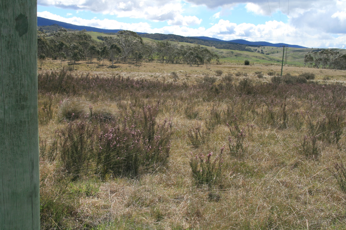
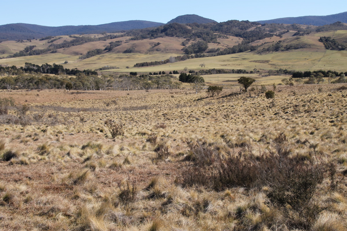
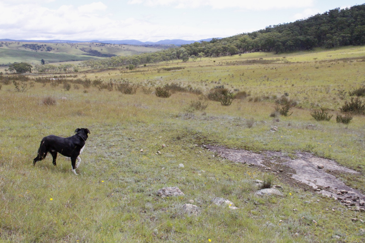
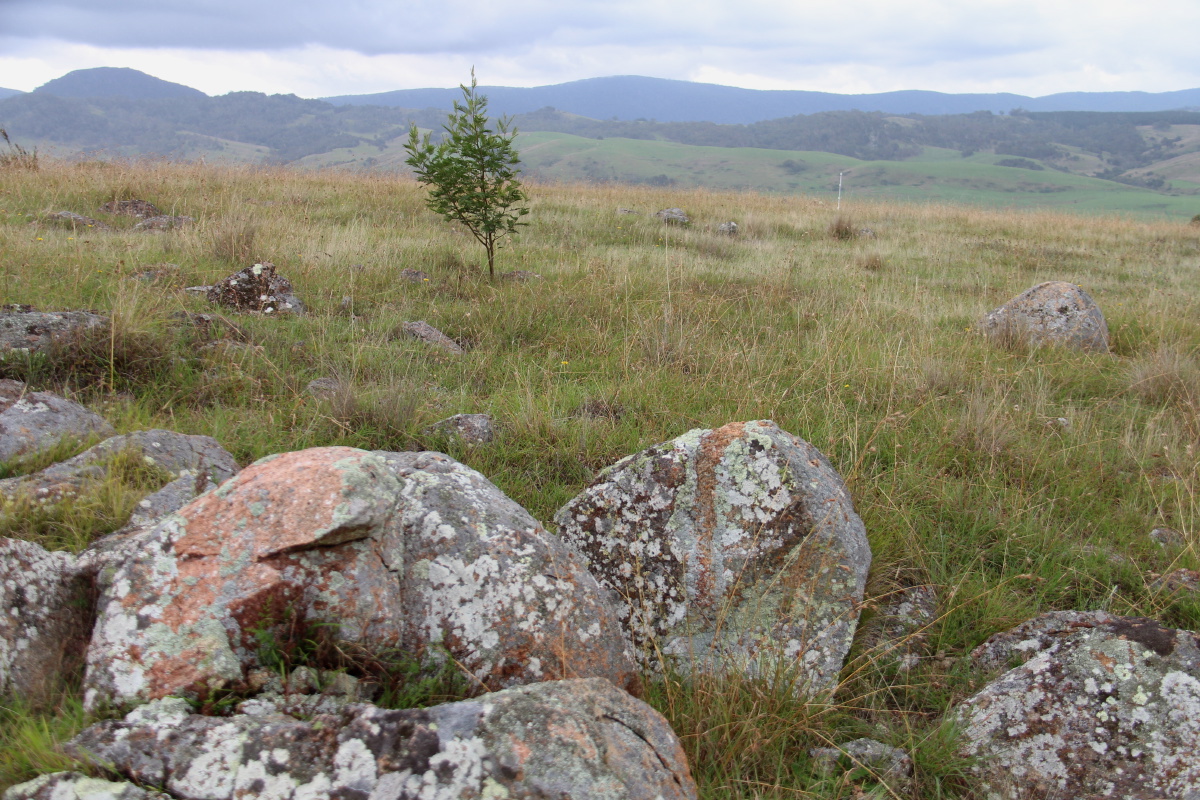
From the Ridge, NNW - 20 Apr 08
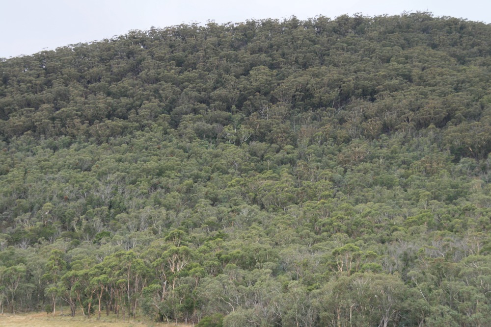
From the Ridge, WNW - 20 Apr 08
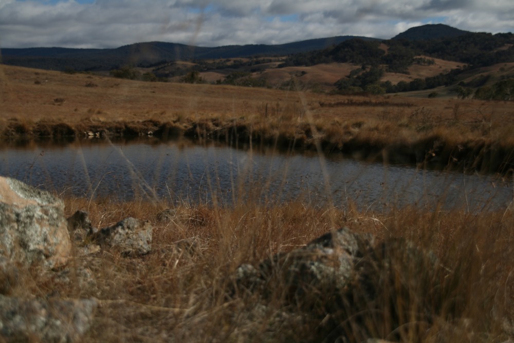
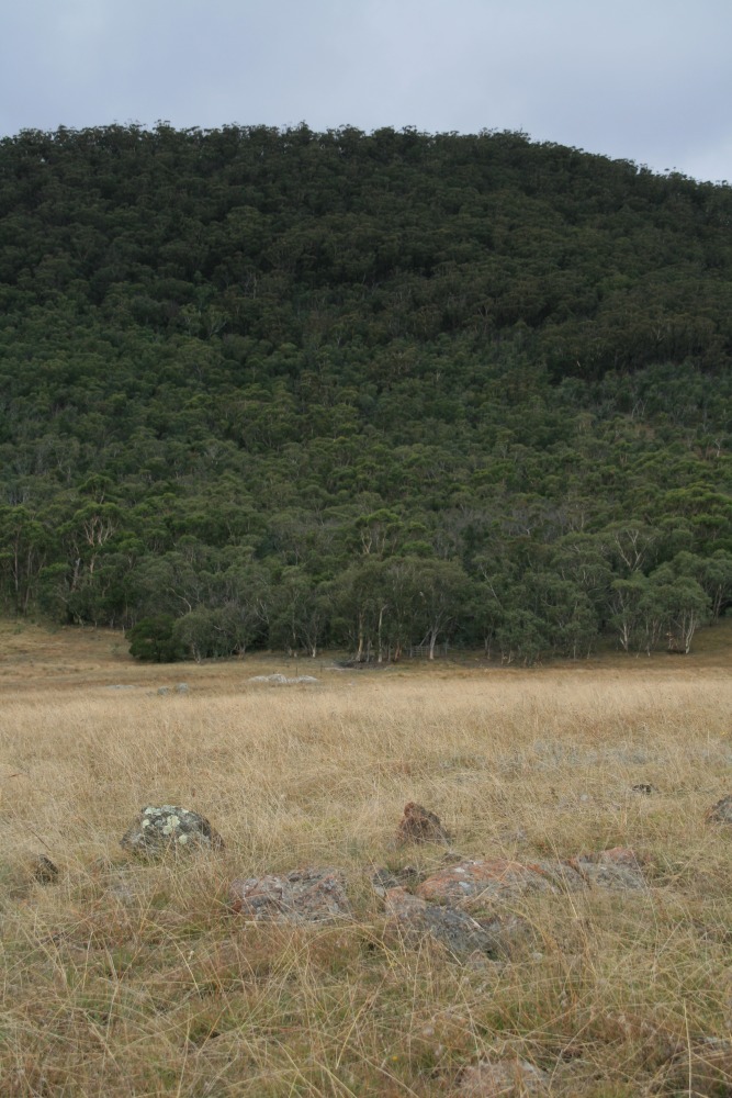
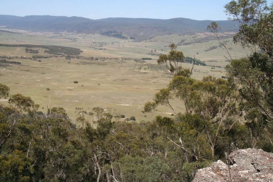
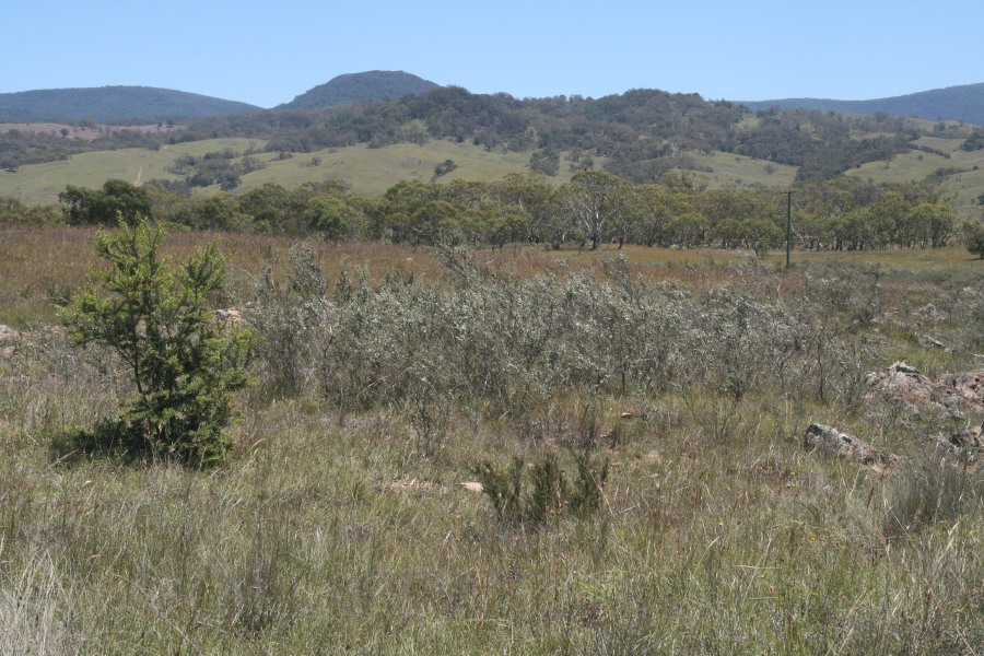
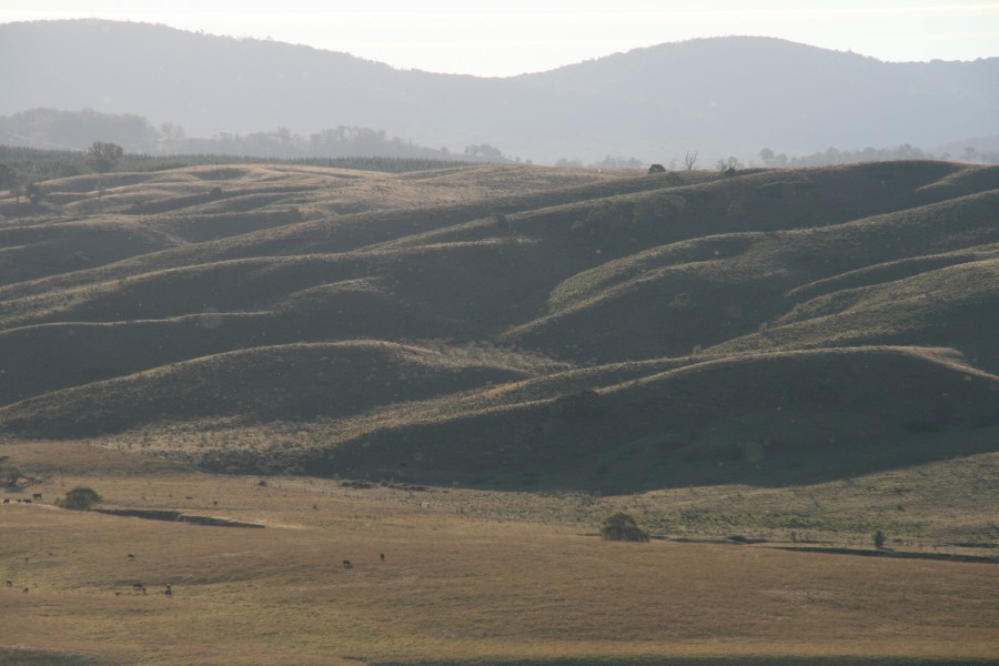
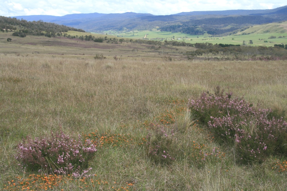
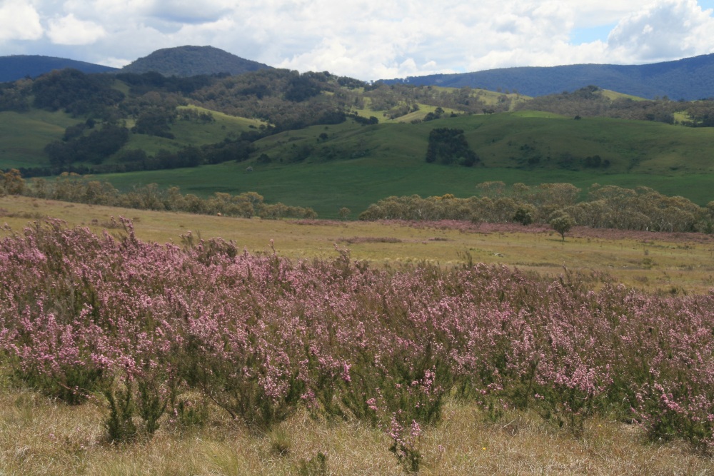
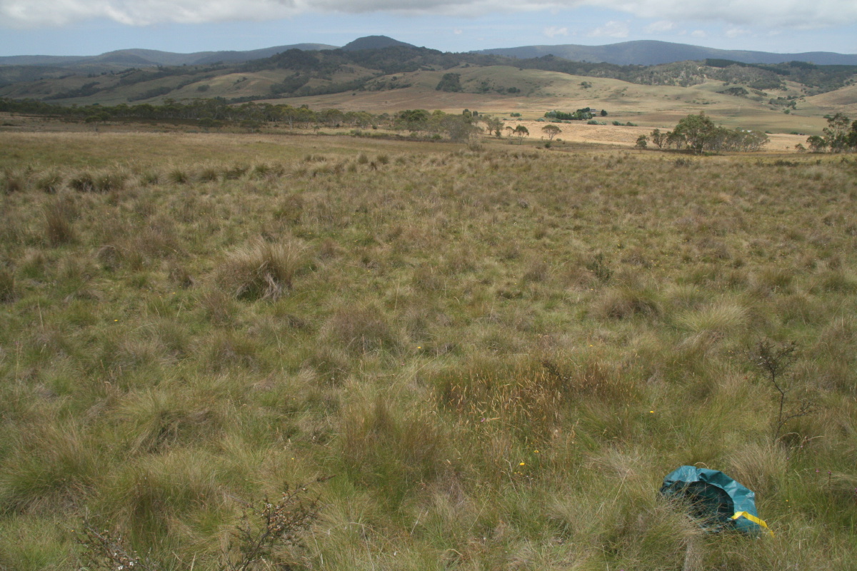
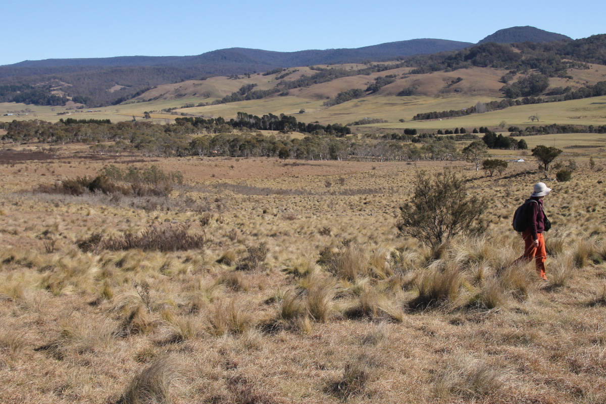
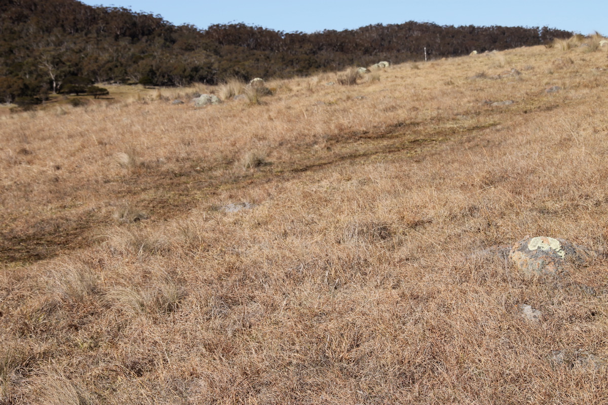
From the Ridge, WSW - 20 Apr 08
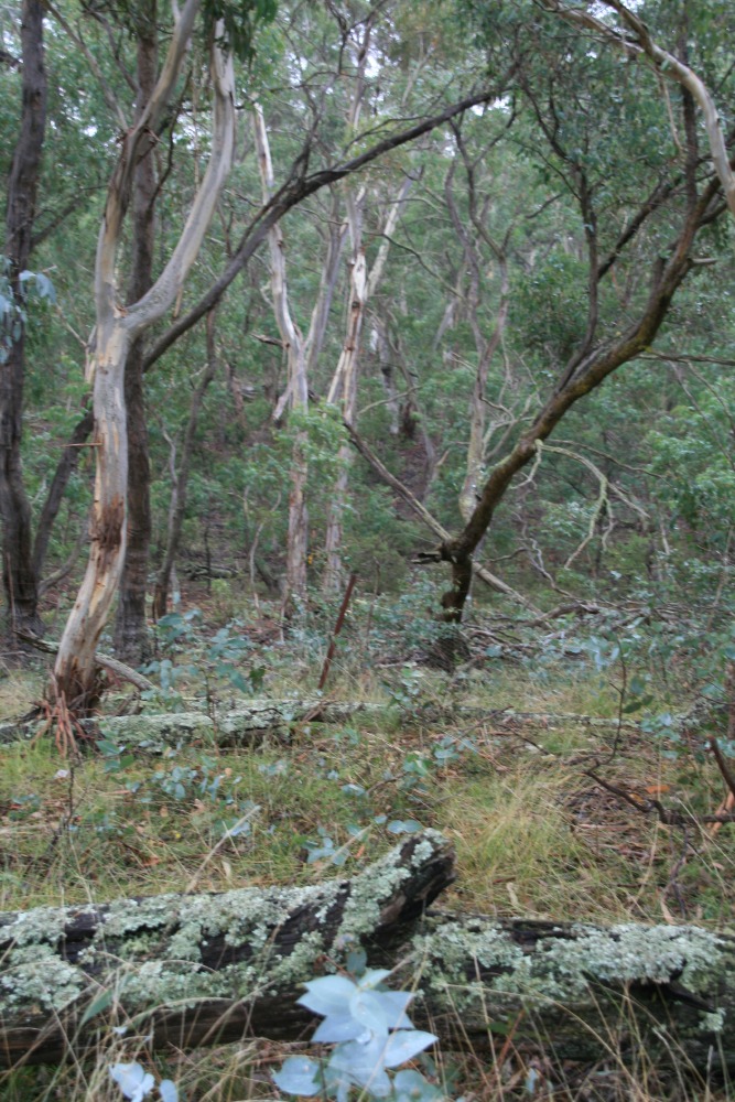
From the NE to the Ridge - 20 Apr 08

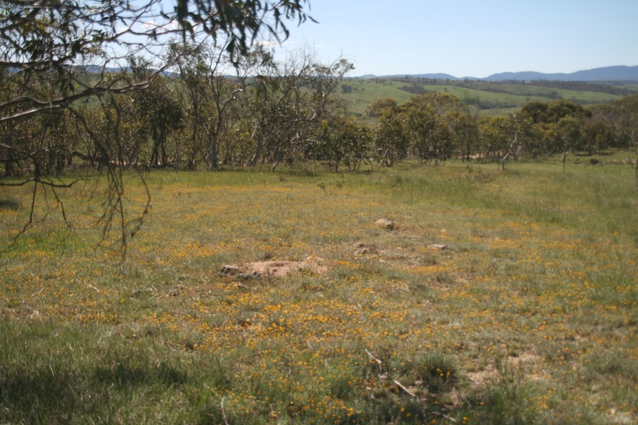
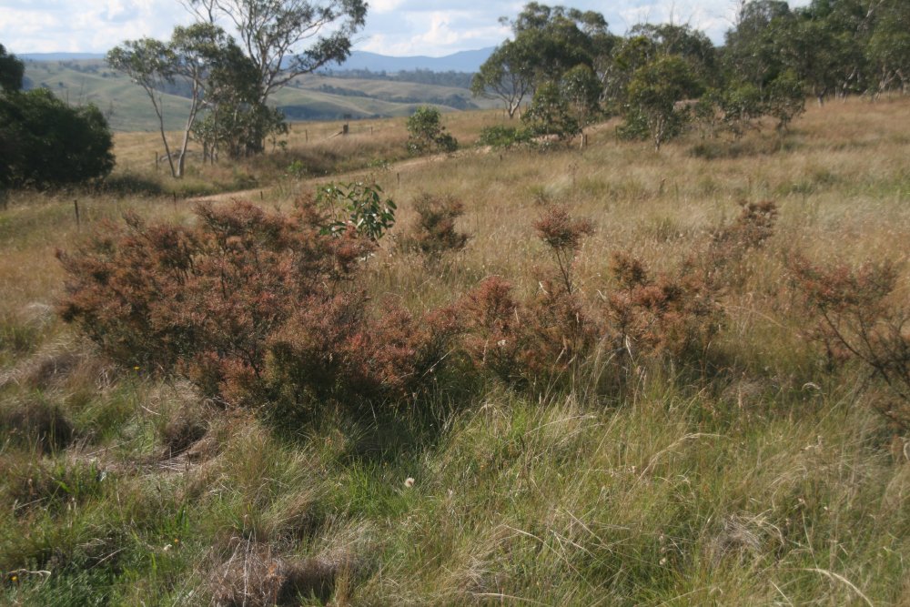
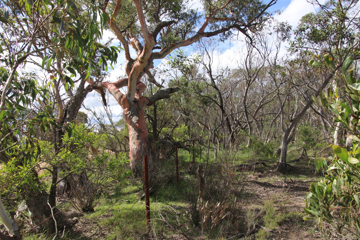
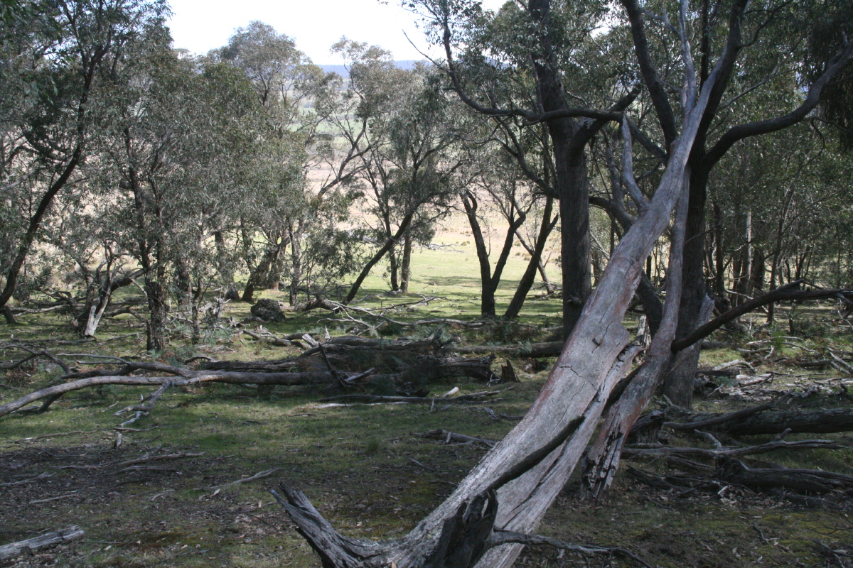
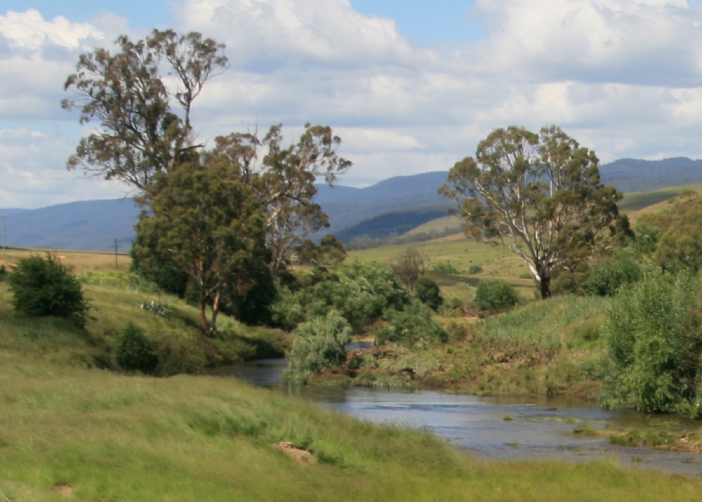
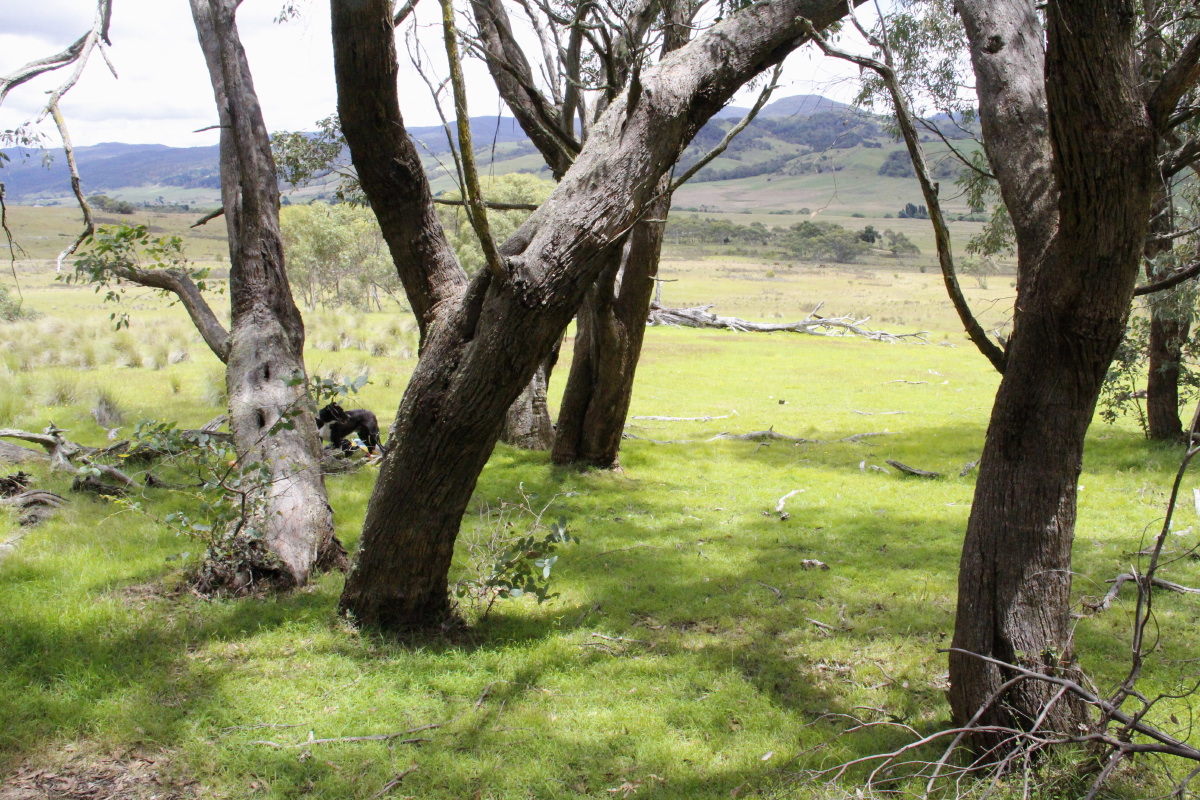
From the Ridge, WSW - 6 Jun 08
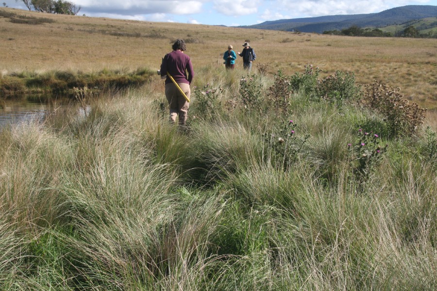
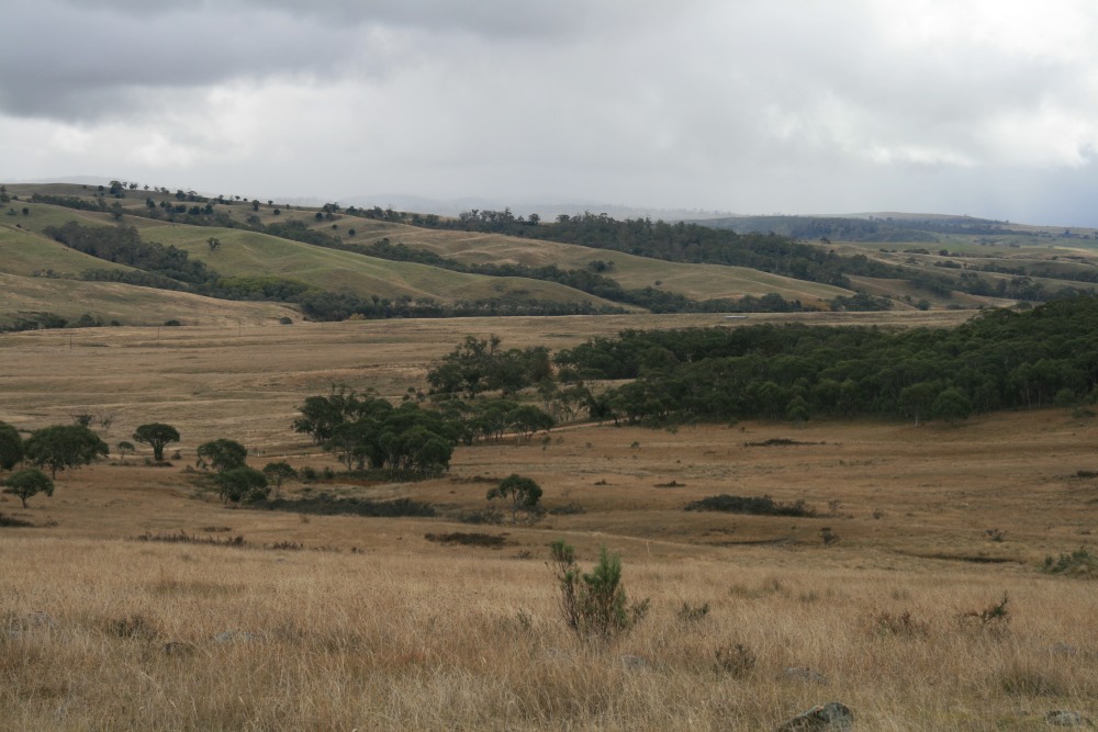
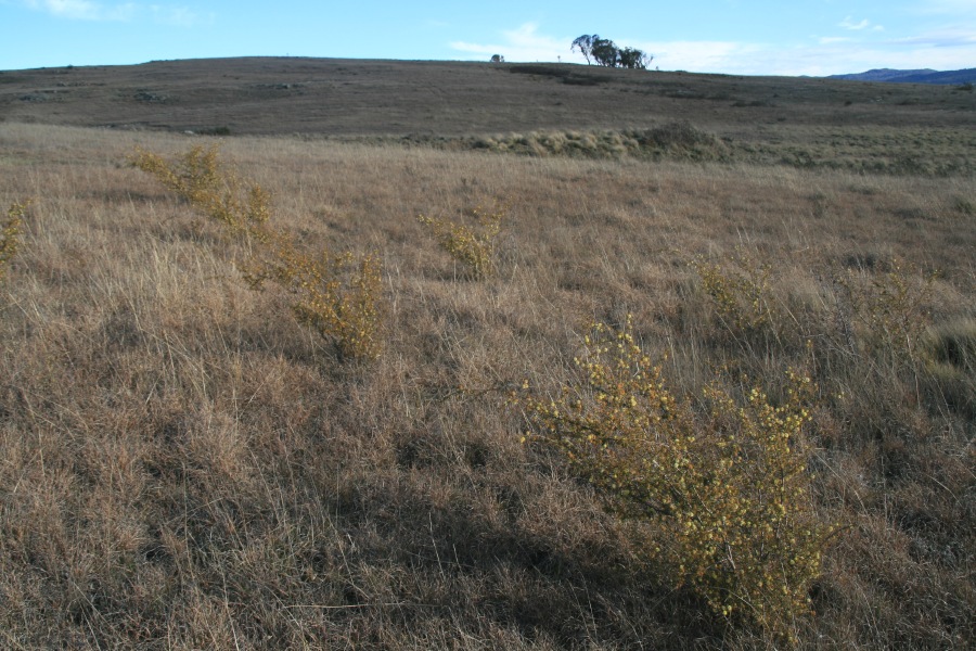
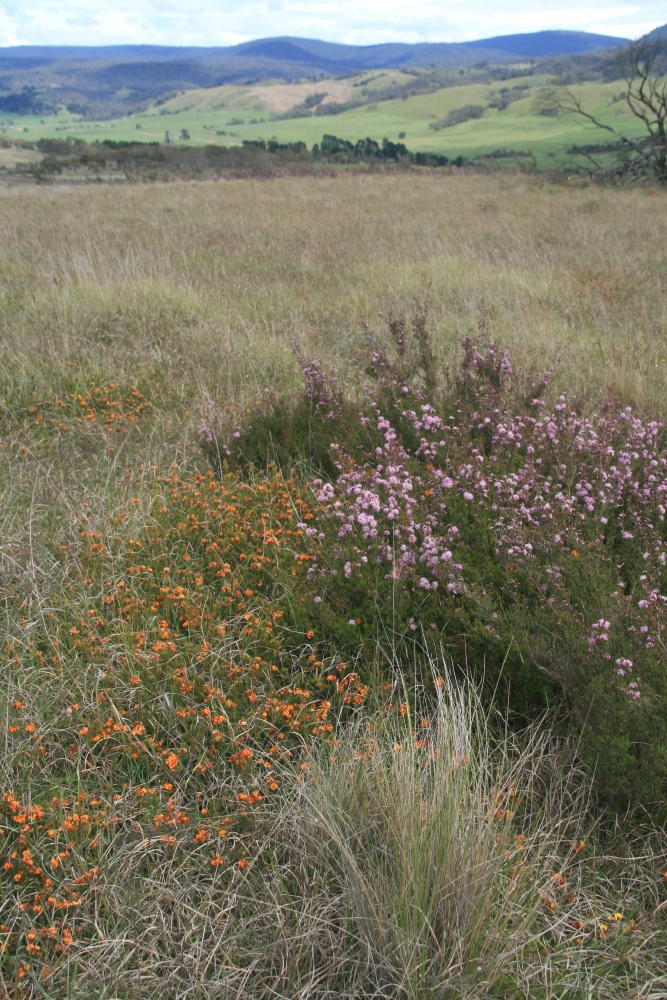
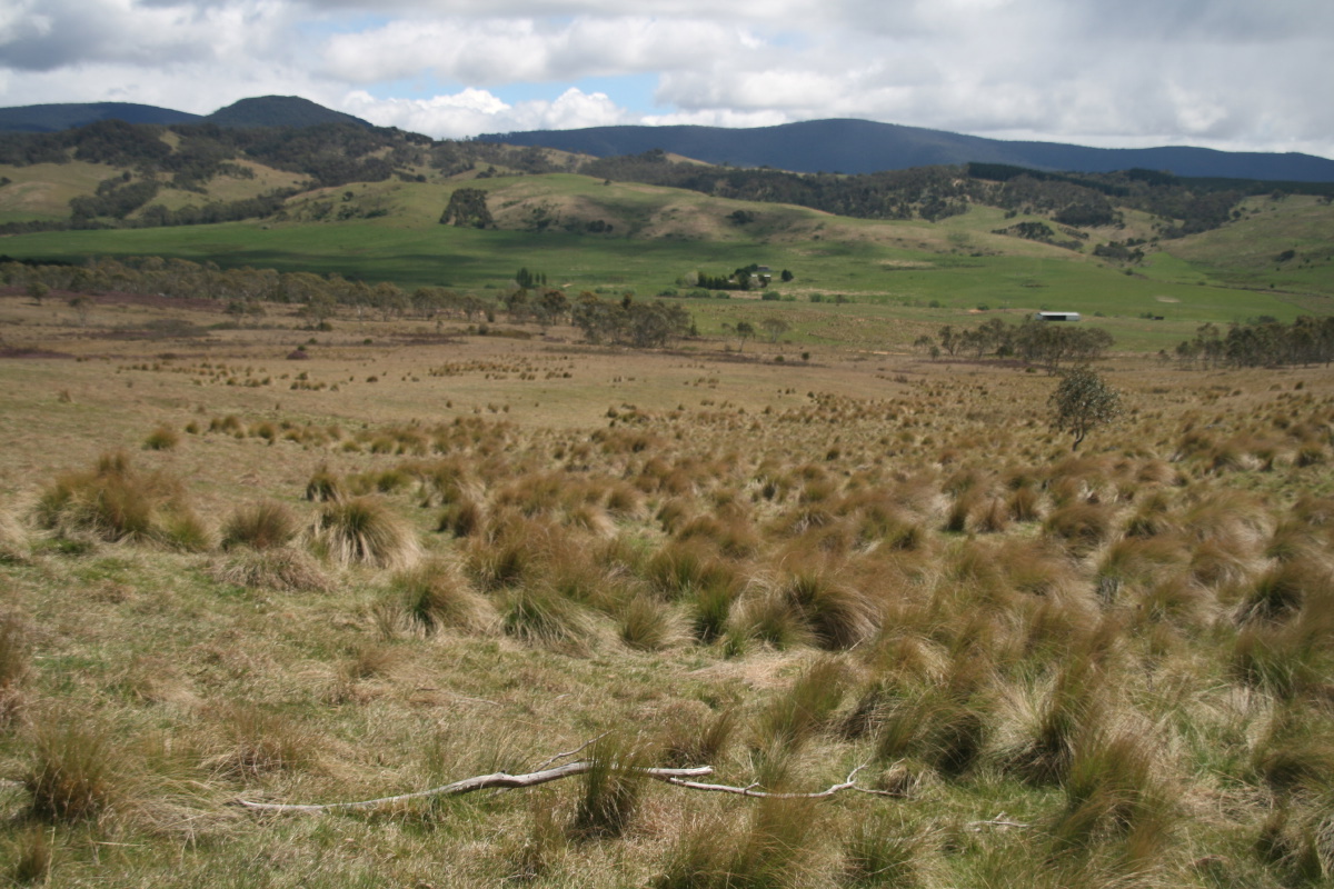
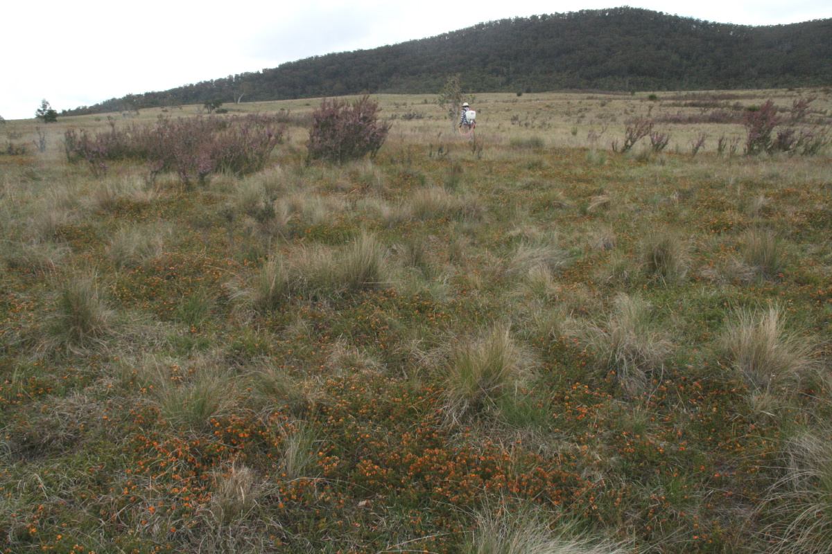
From the NE to the SW - 6 Oct 08
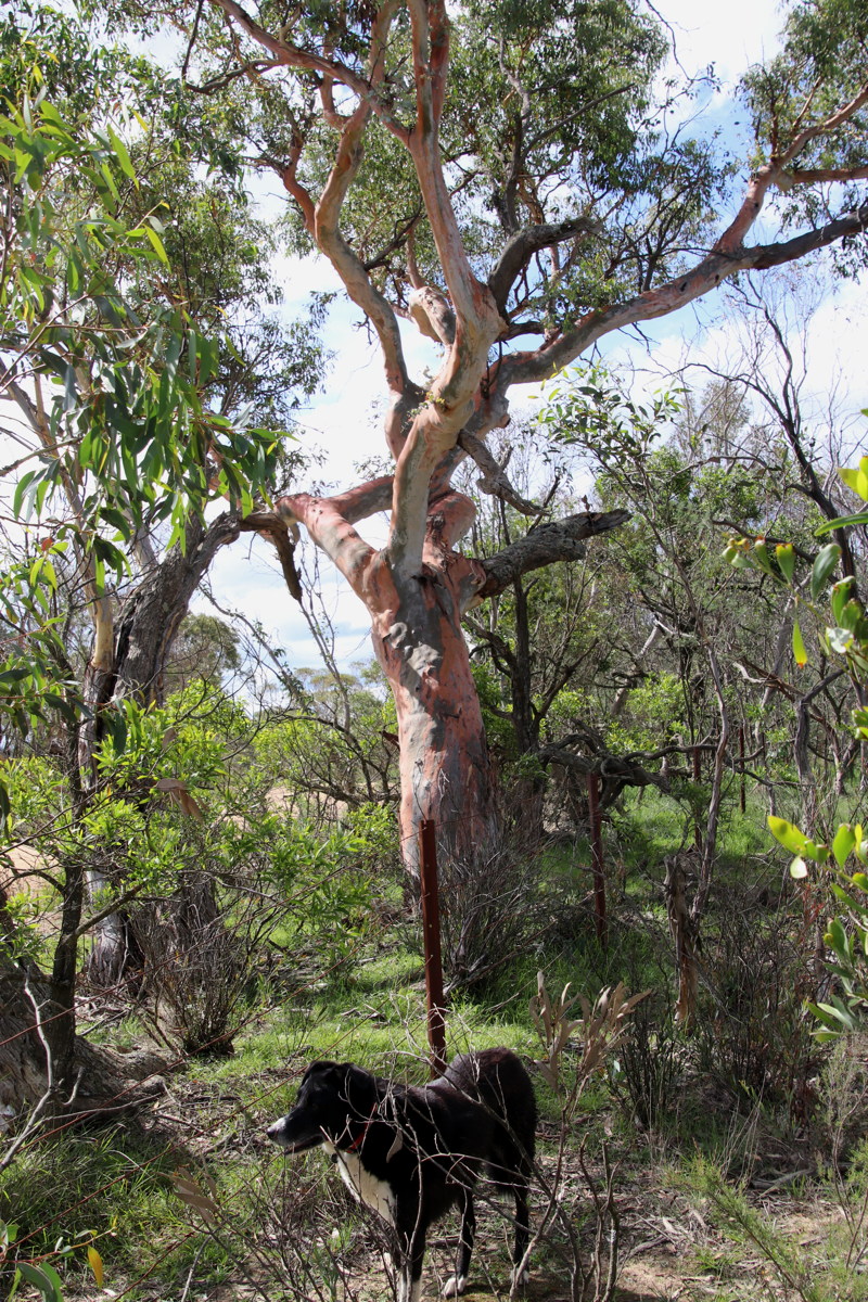
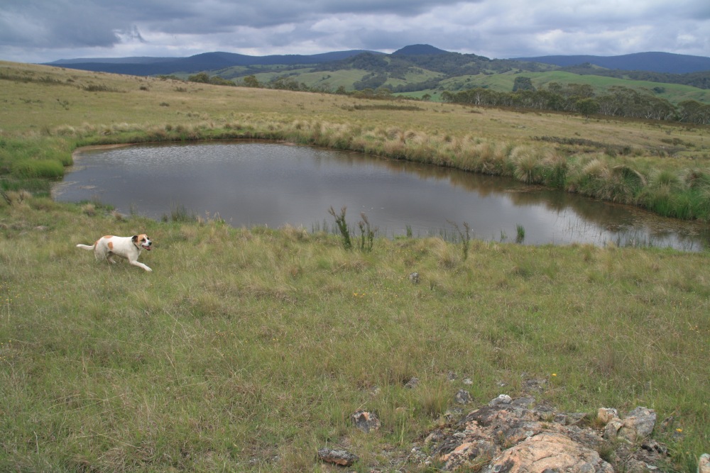
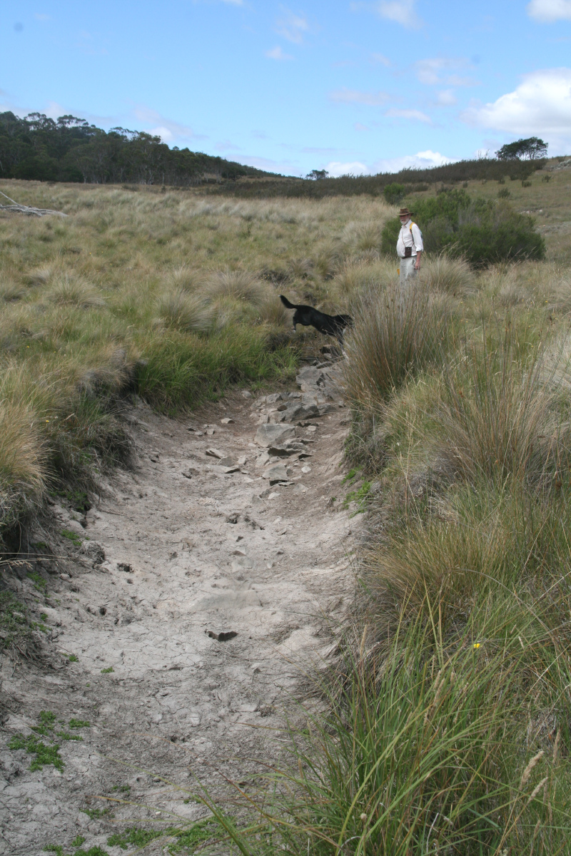
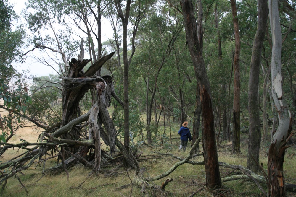
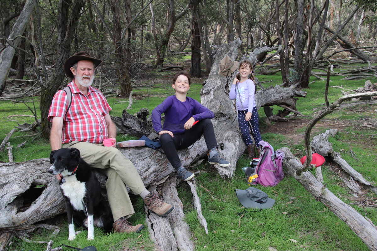
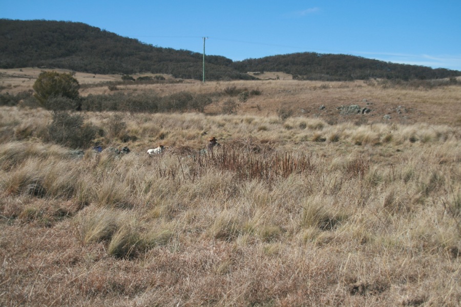
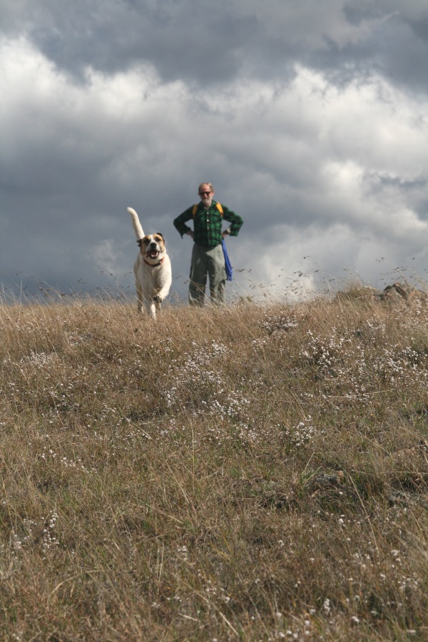
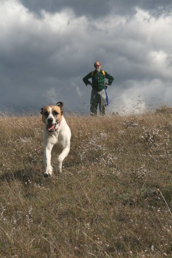
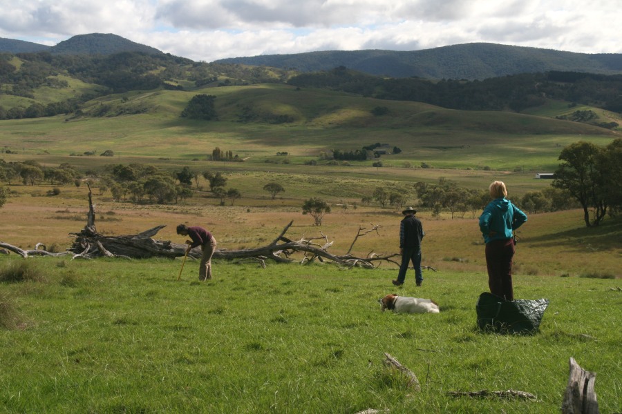
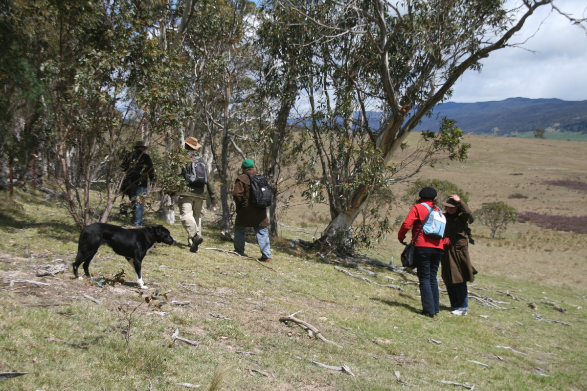
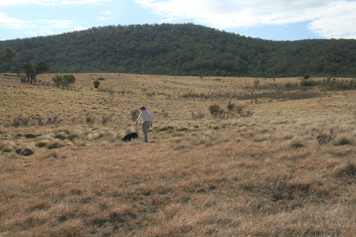
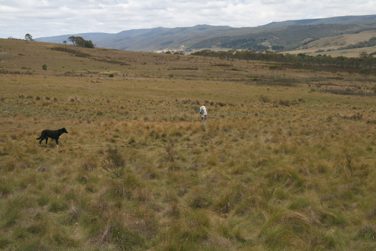
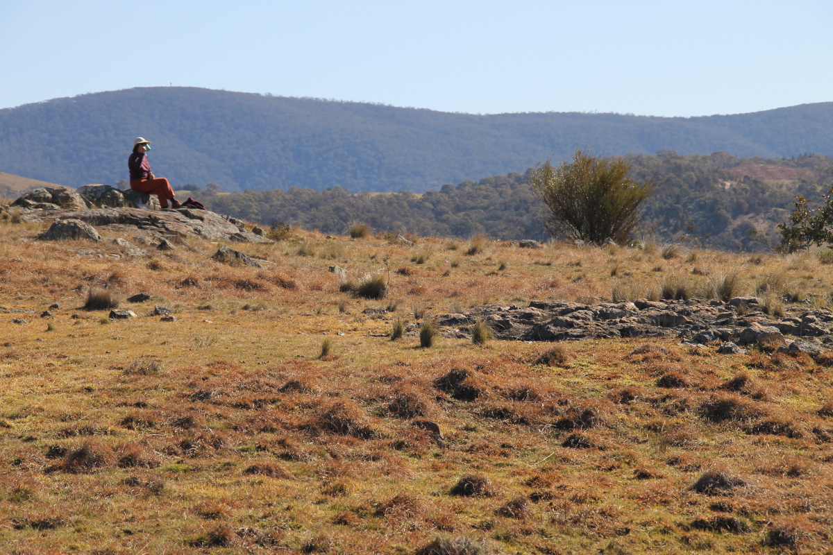
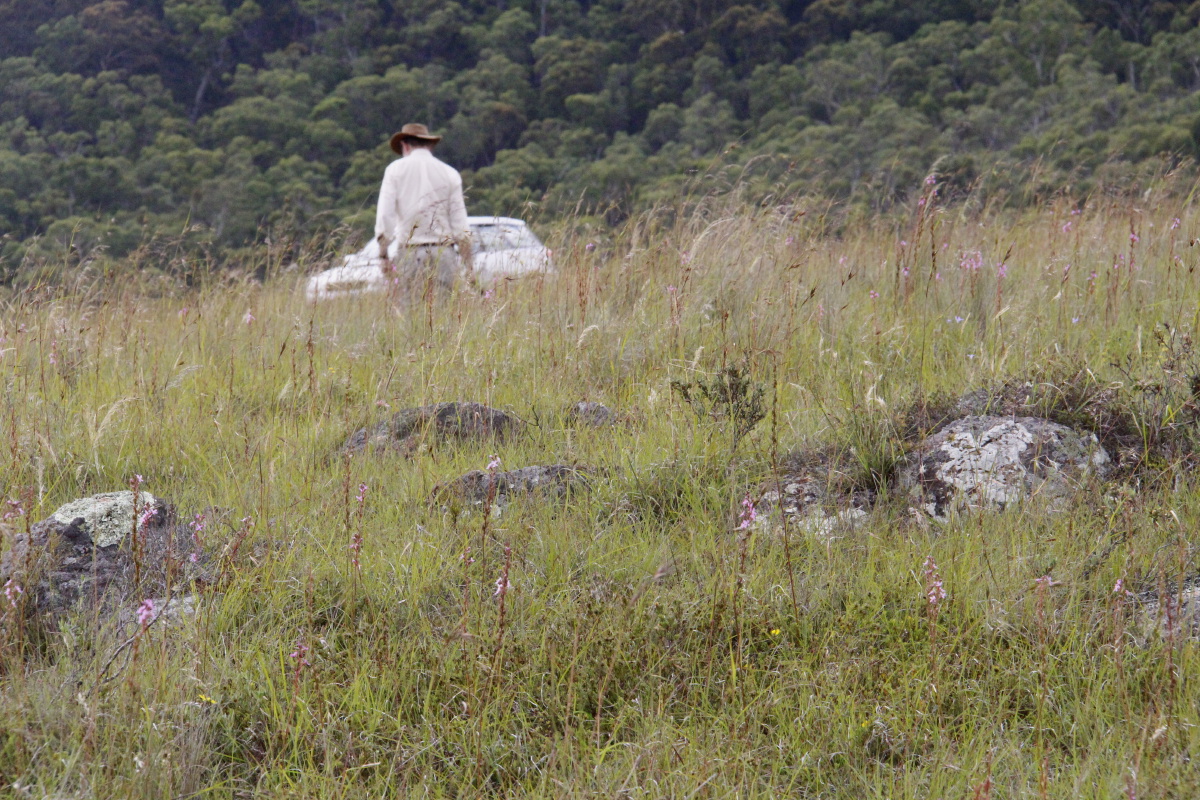
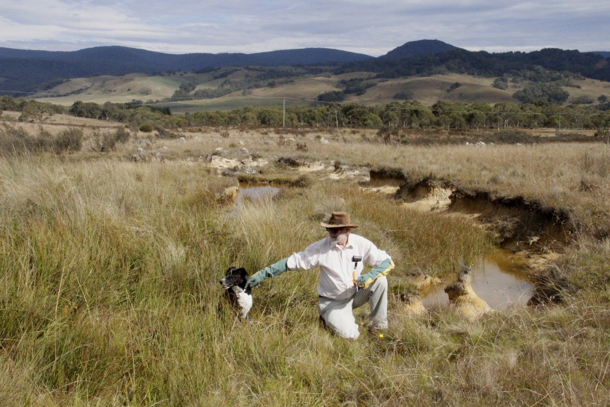
'You've got 20 minutes to be back at the car' - 6
Oct 08
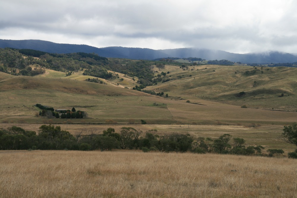
Central-West, Looking West - 15 Nov 08

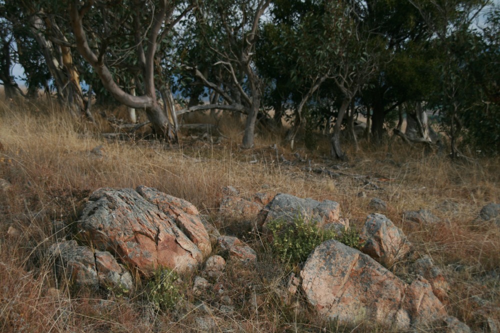
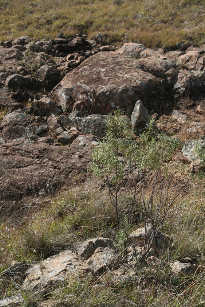
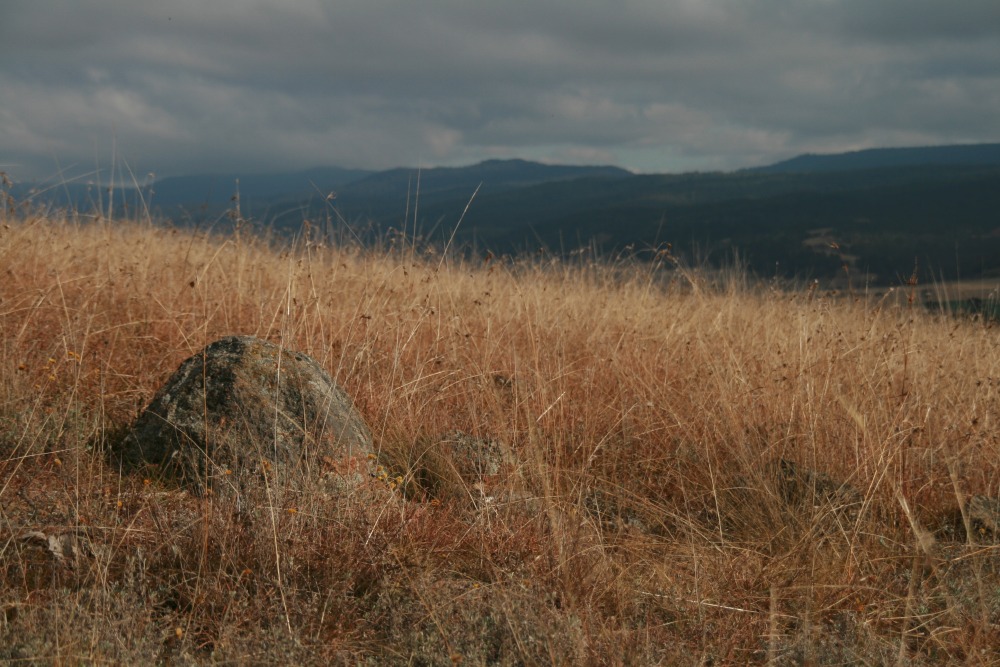
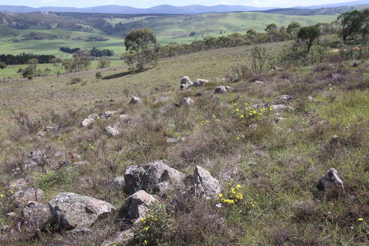
Rocks, looking NNW - 15 Nov 08
Ridge Rocks, looking W - 15 Nov 08
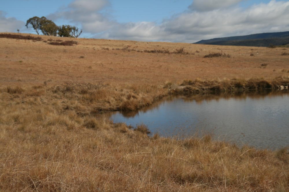
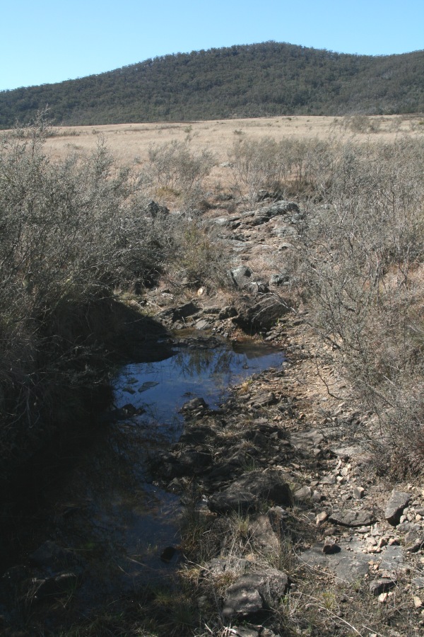
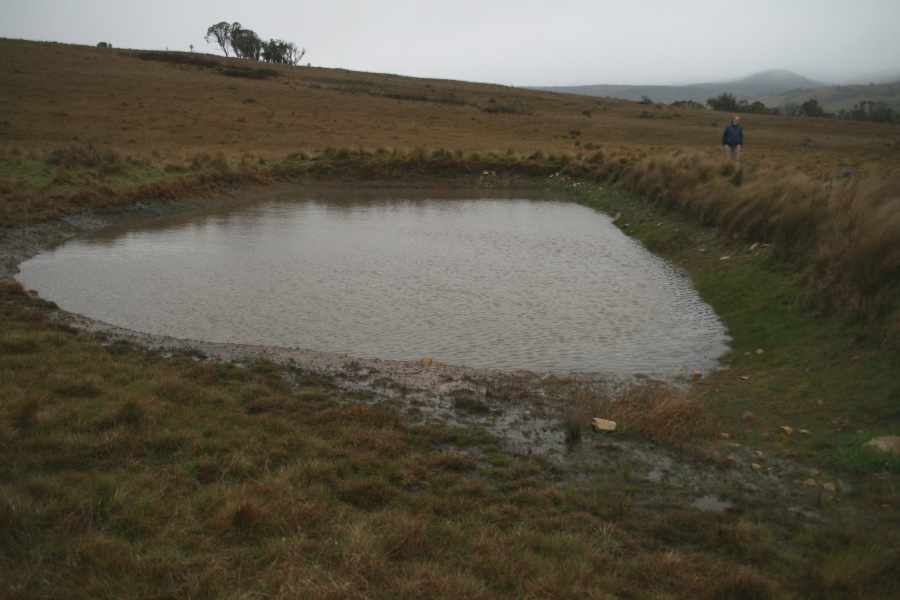
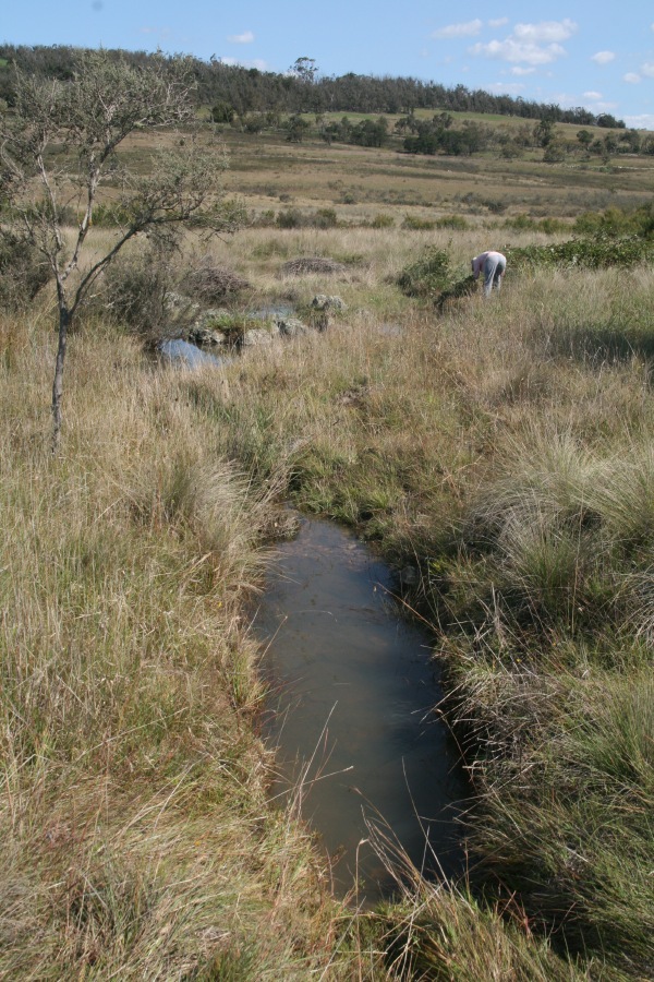
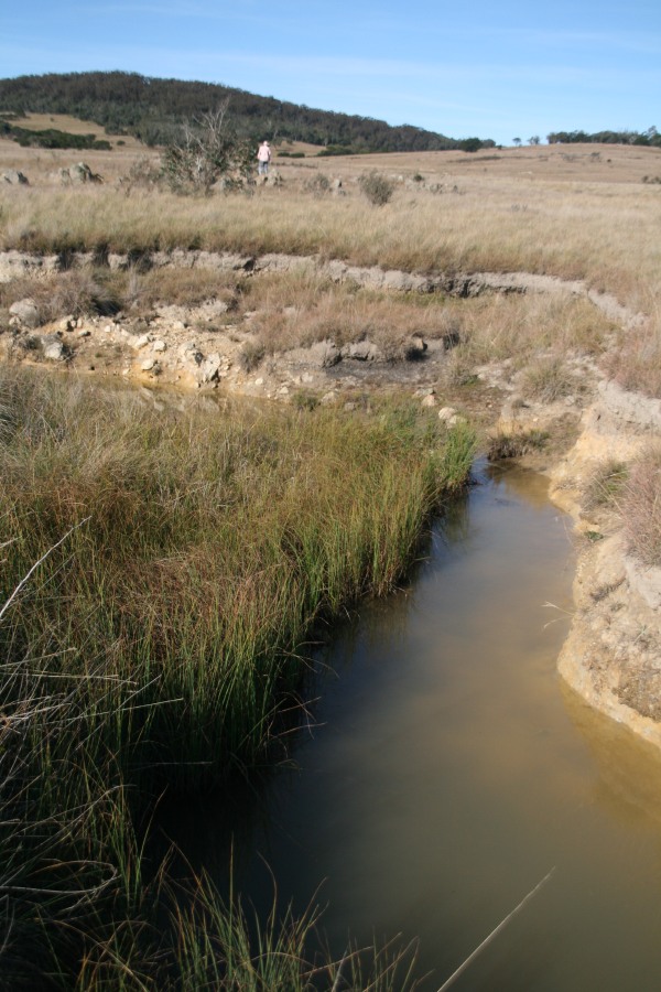
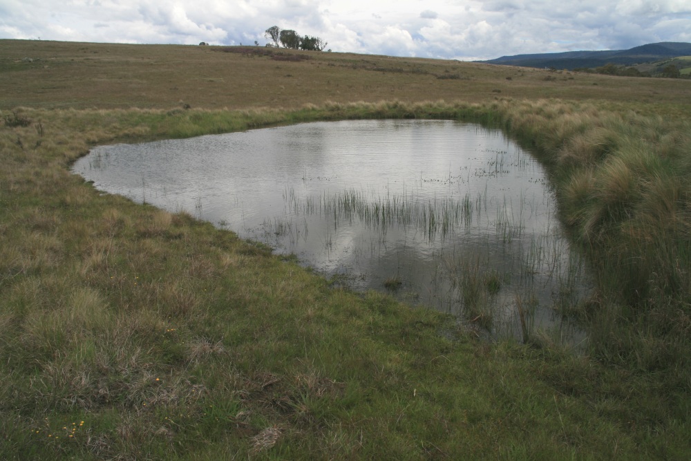
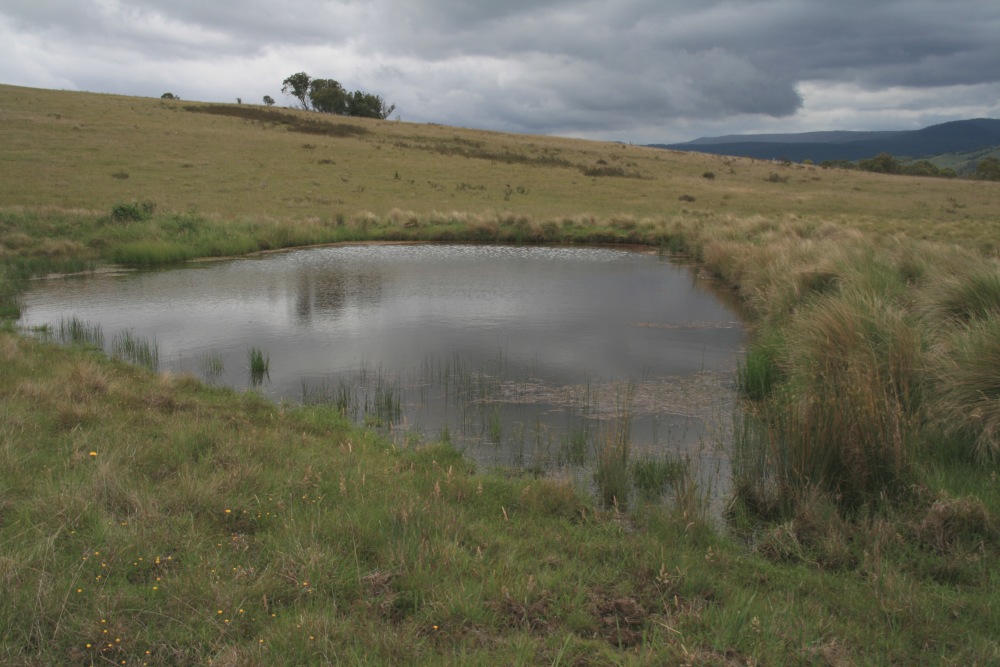
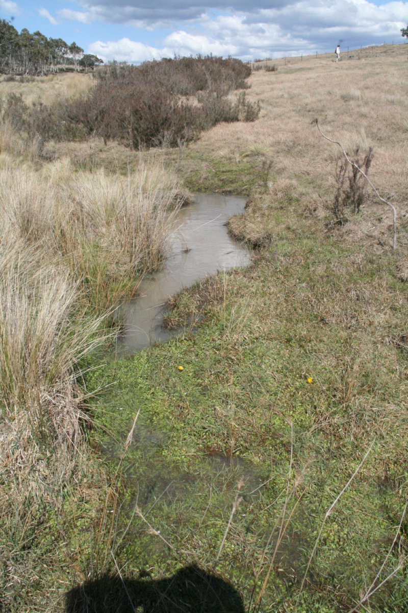
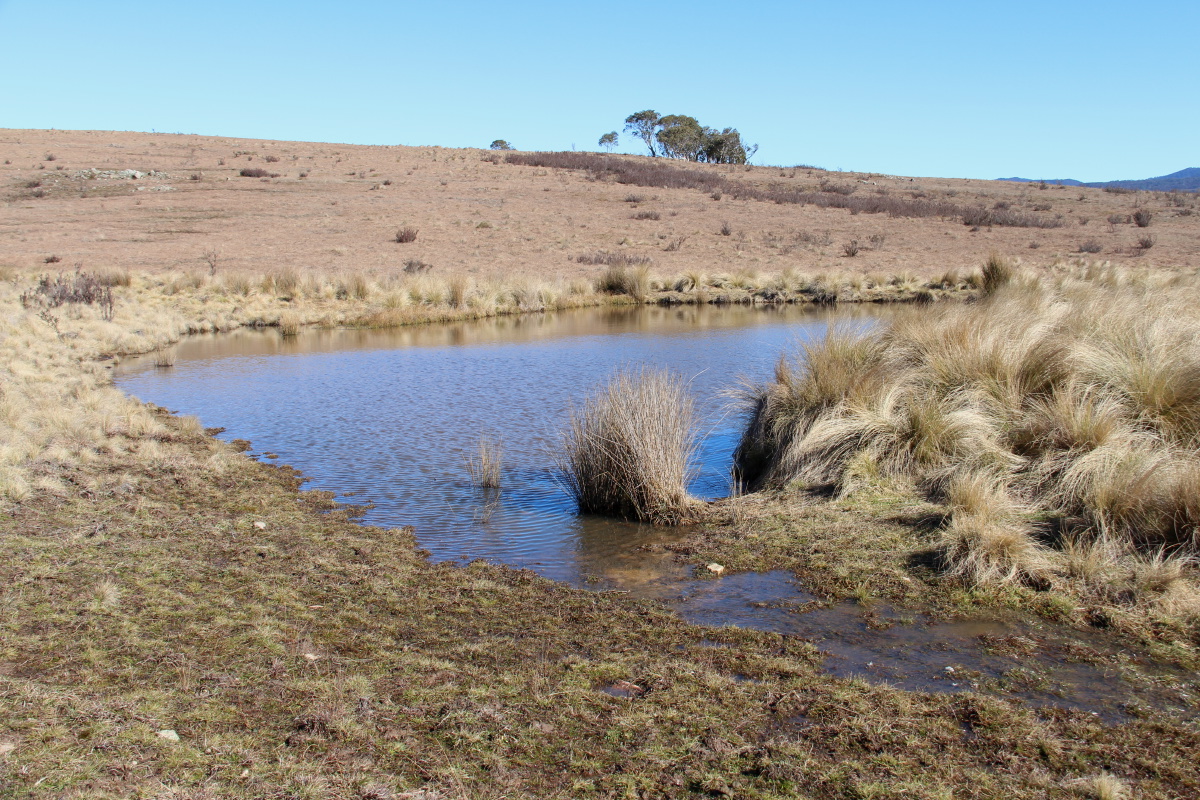
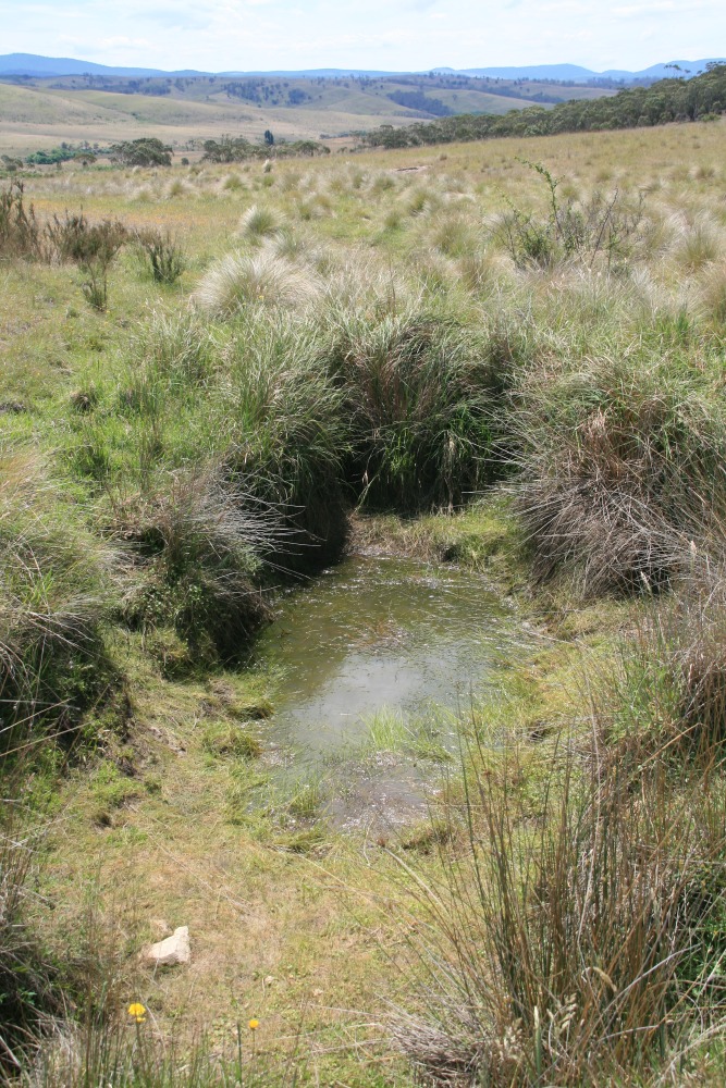
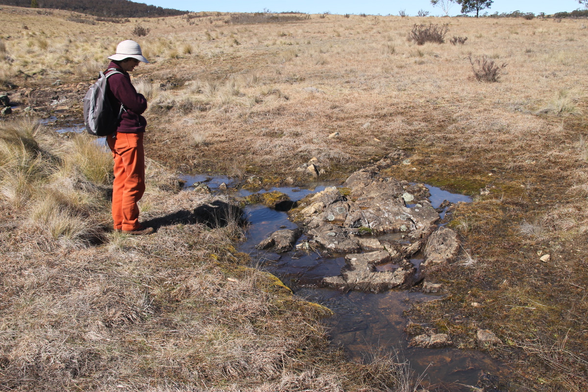
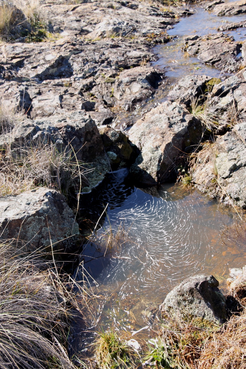
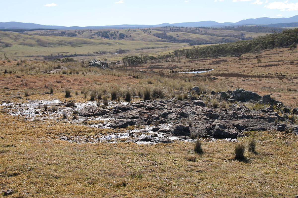
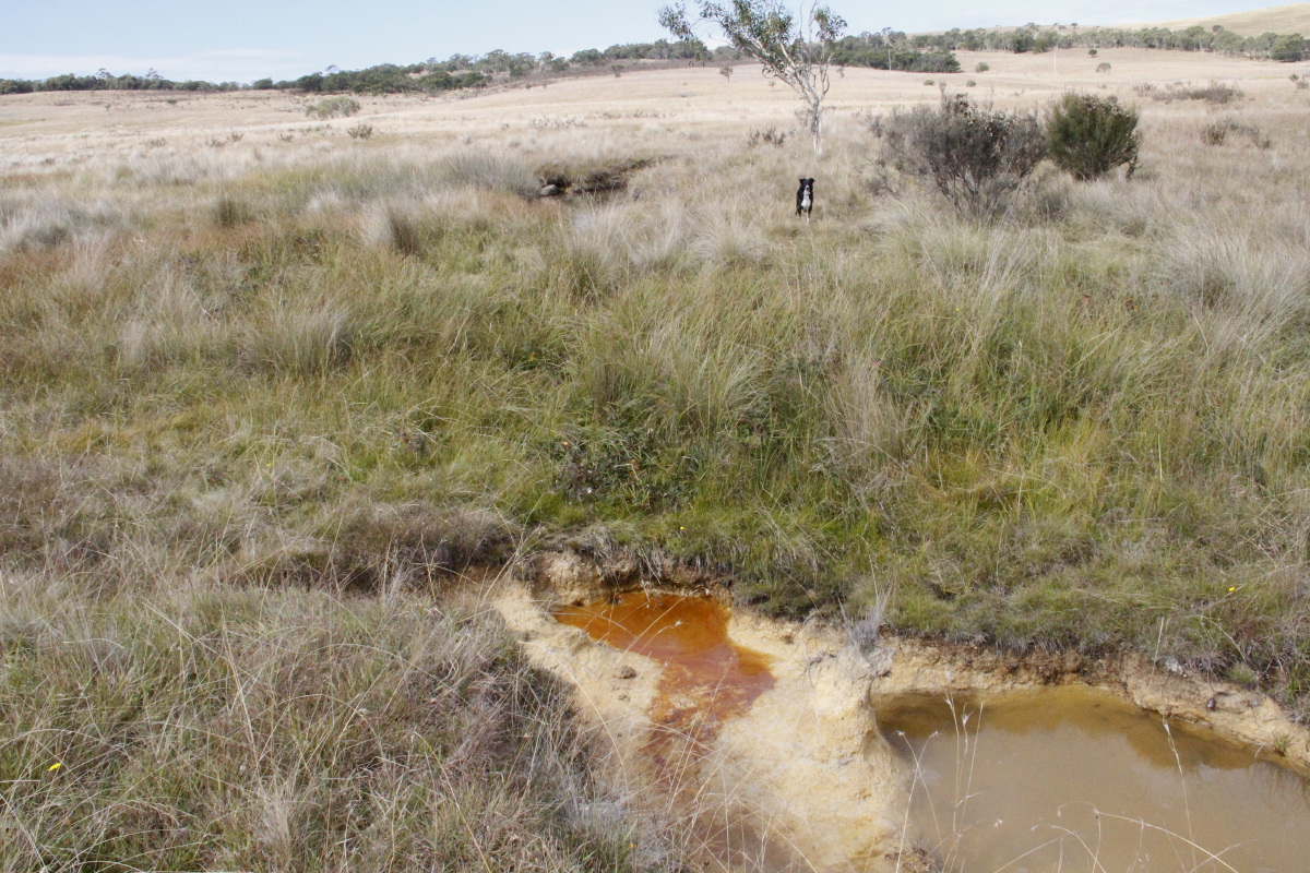
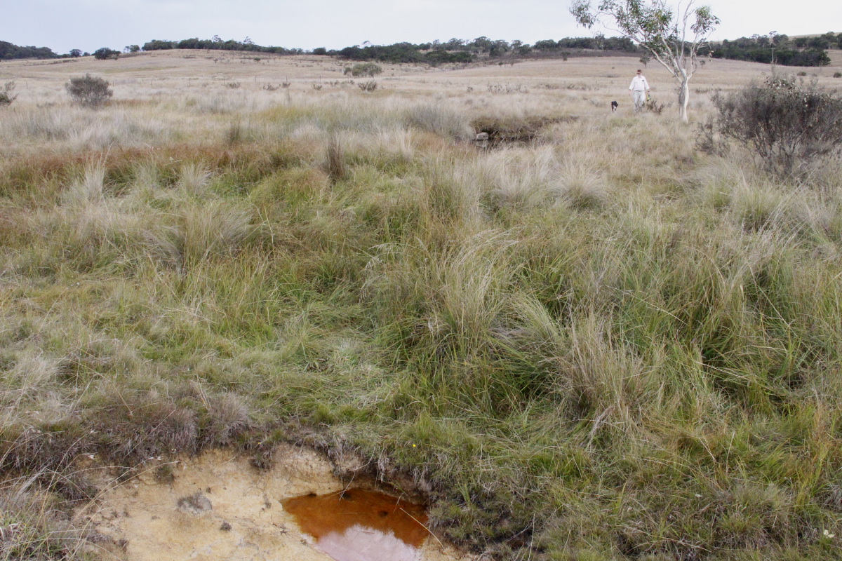
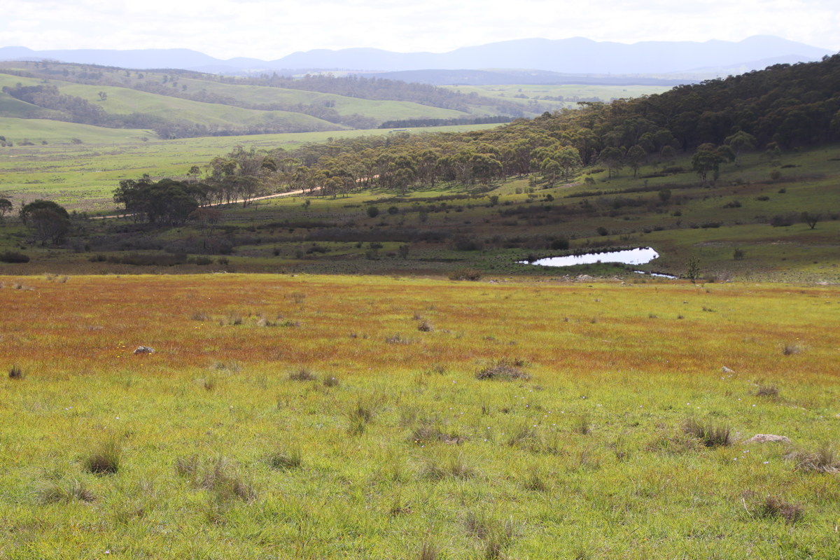
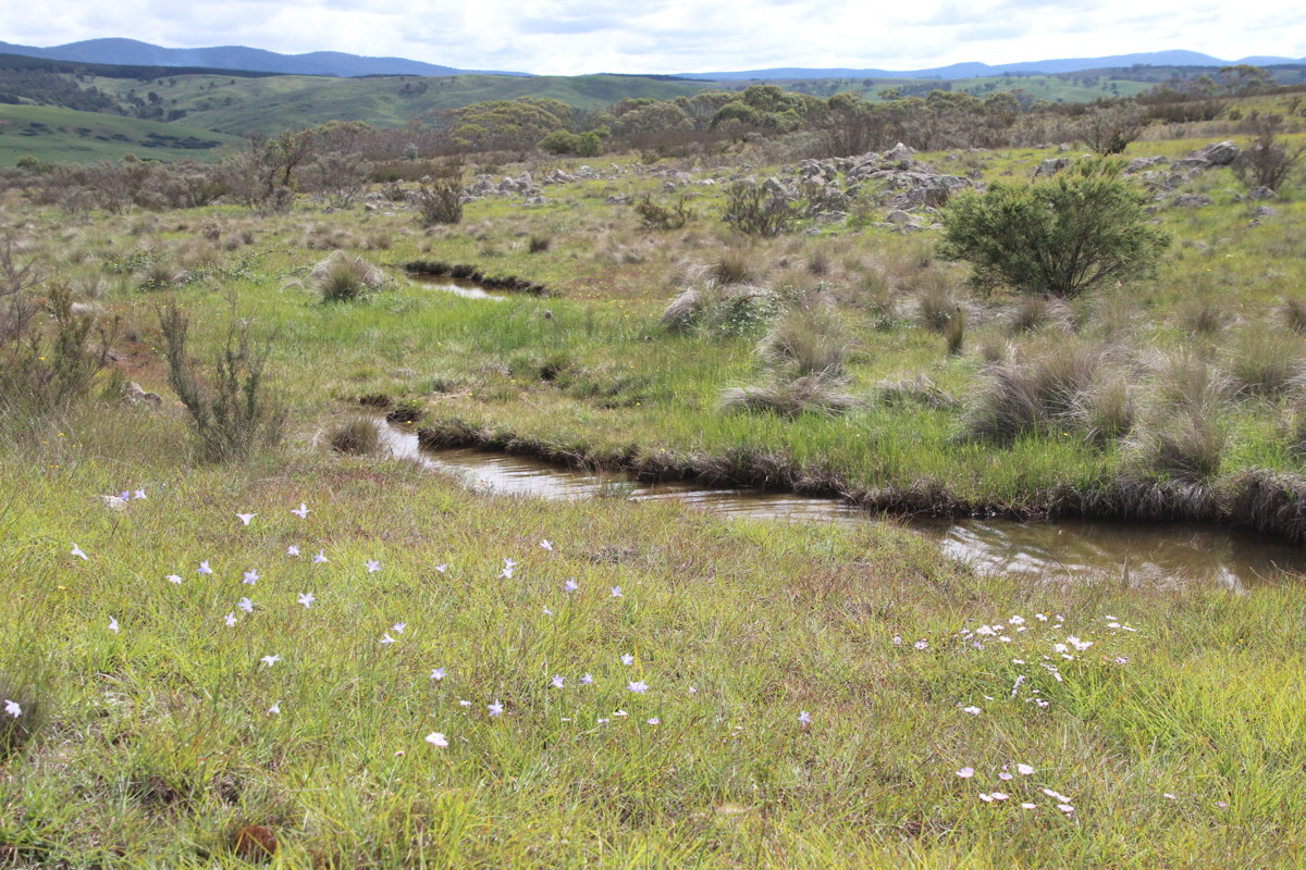
Pool in the Main Creekline - 15 Nov 08
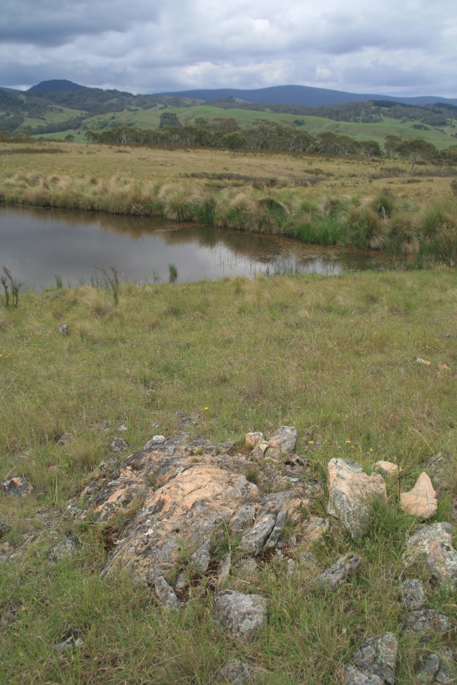
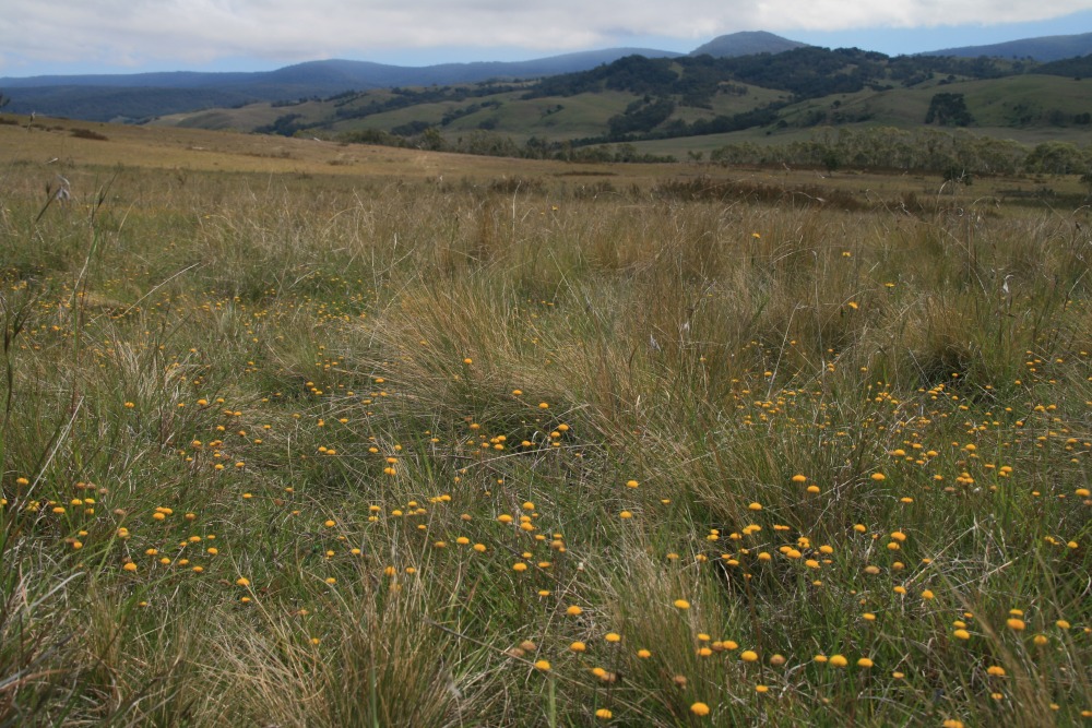
From the Ridge, WSW - 15 Nov 08

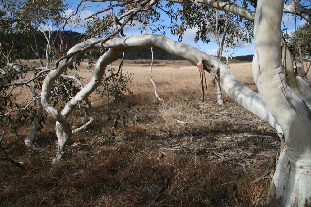
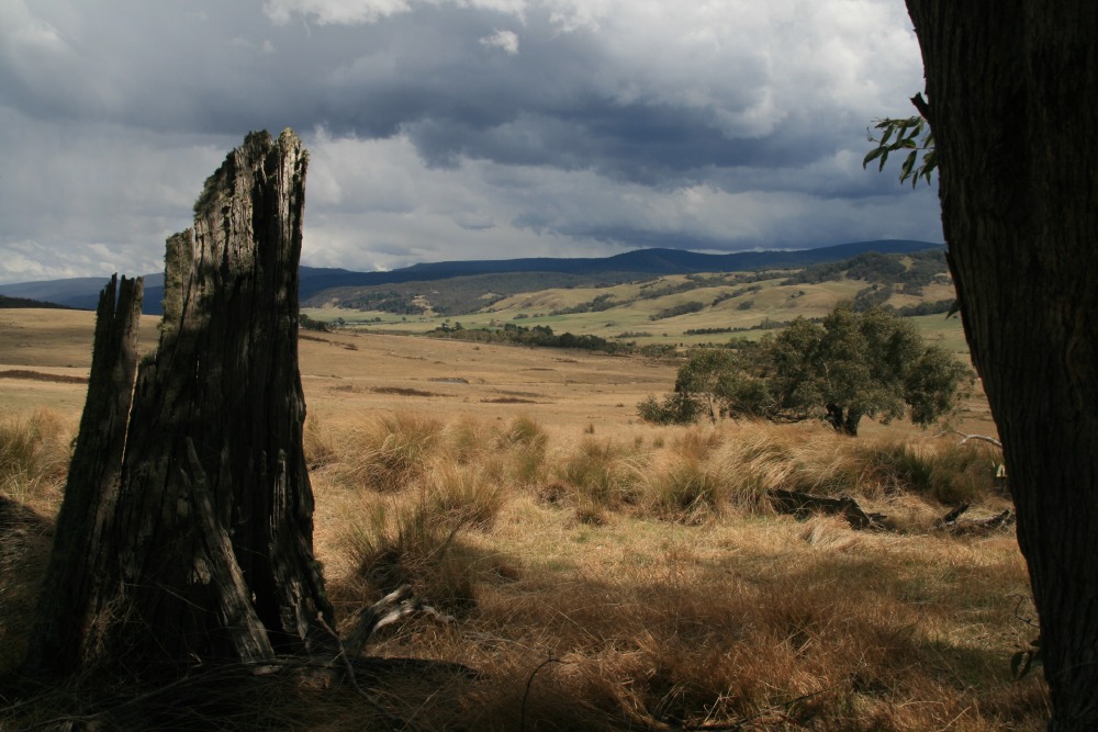
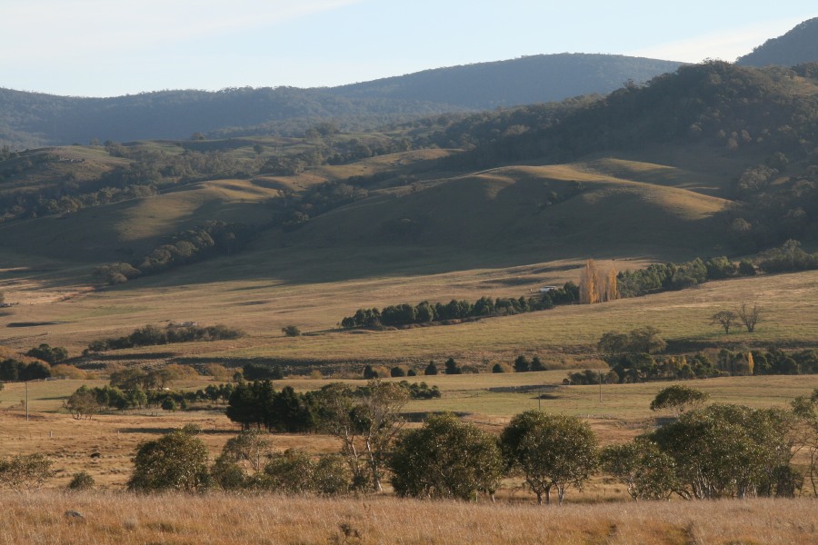
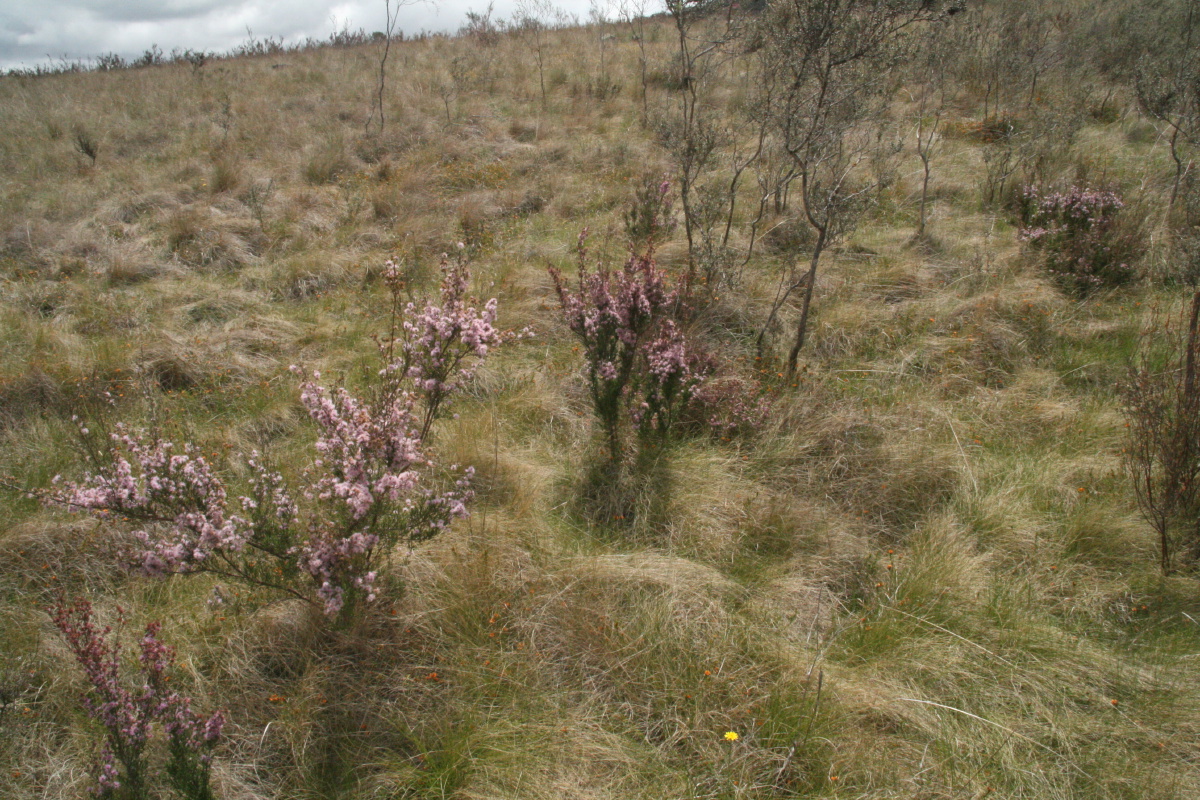
Autumn Contrasts, Near the Gate, Looking West - 25
Apr 09
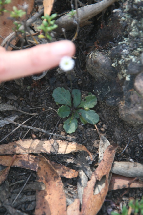
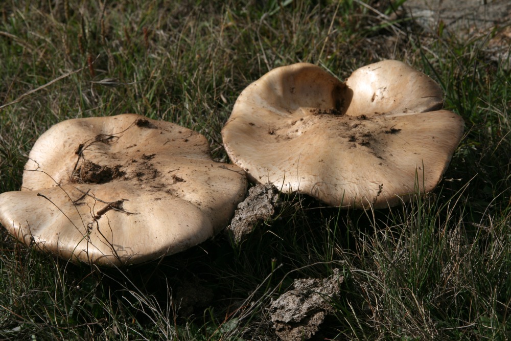
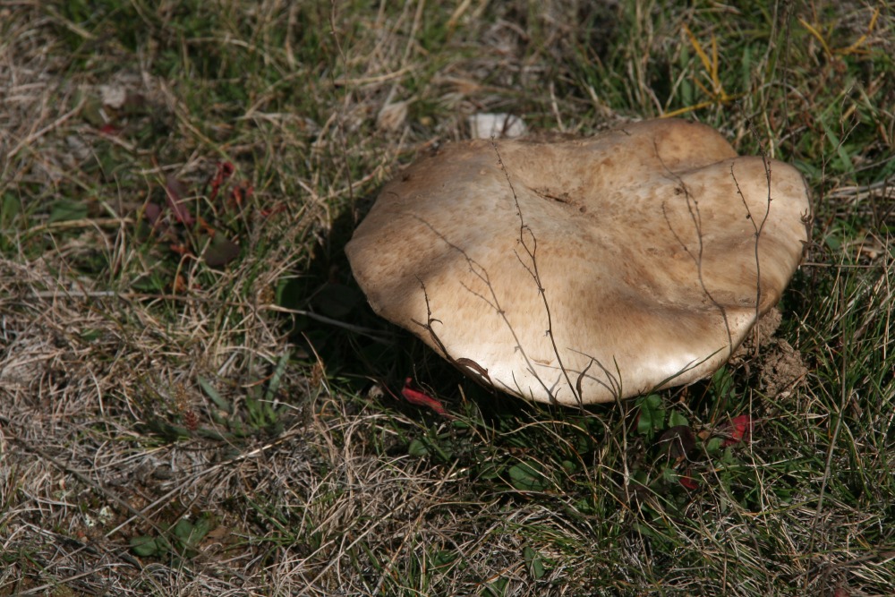
Fungus, eastern end
of Echidna Ridge
26 Apr 09
of Echidna Ridge
26 Apr 09
Ditto
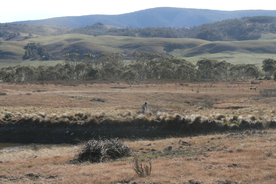
In the SW corner,
looking Eastwards
6 Sep 09
looking Eastwards
6 Sep 09
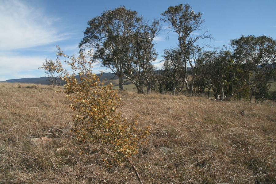
Ac. Brownii,
near the copse
6 Sep 09
near the copse
6 Sep 09
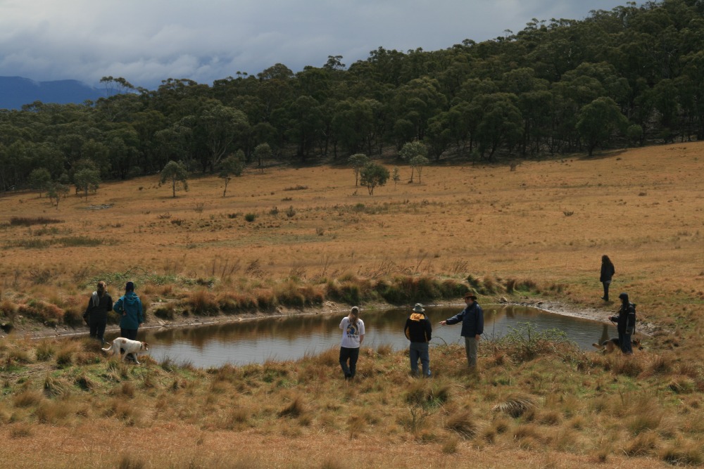
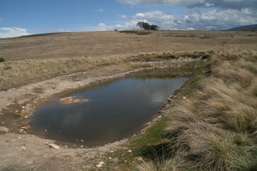
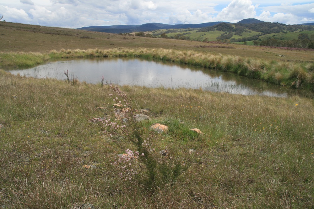
Westwards
over the main dam
6 Sep 09
over the main dam
6 Sep 09
Ac. Brownii above
the main dam,
looking SE – 6 Sep 09
the main dam,
looking SE – 6 Sep 09
Echidna Ridge
22 Sep 09
22 Sep 09
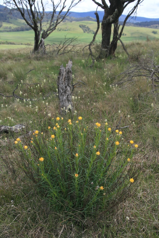
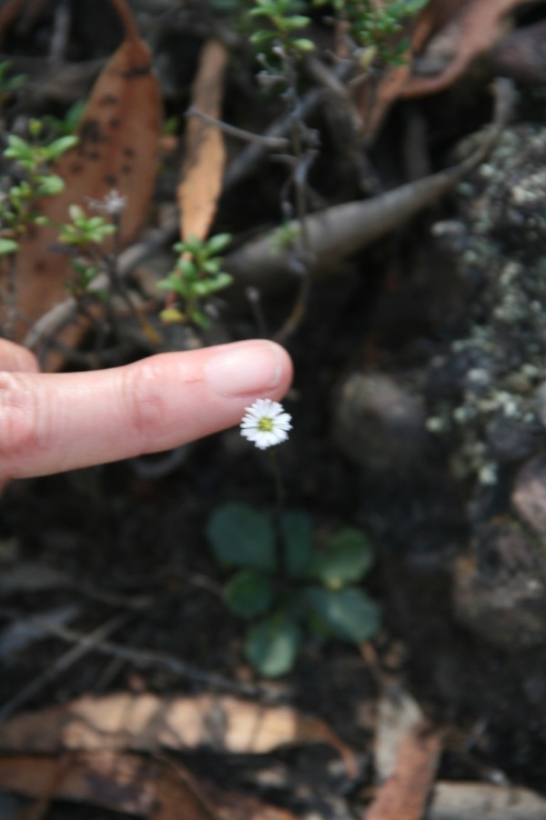
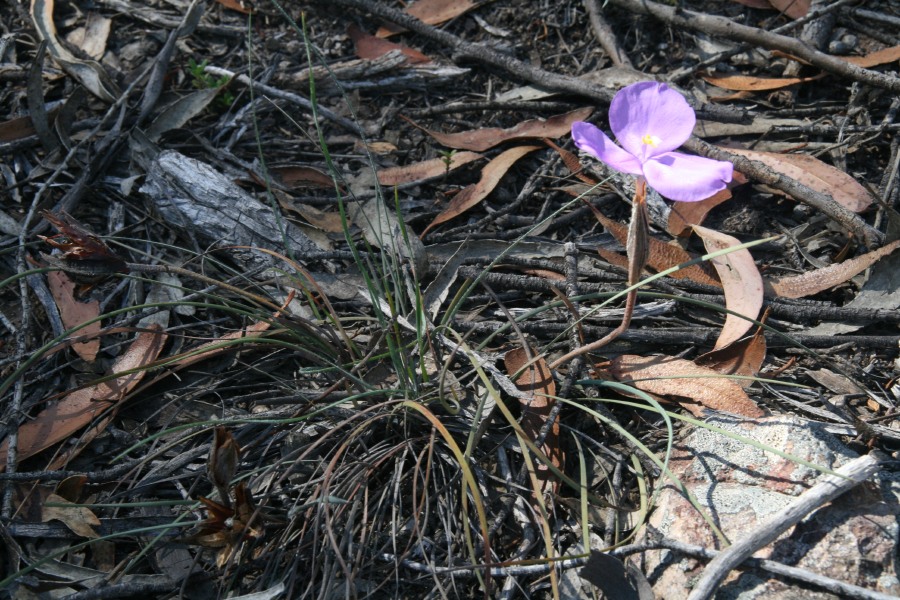
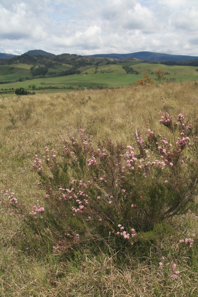
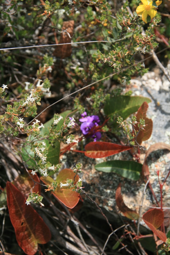
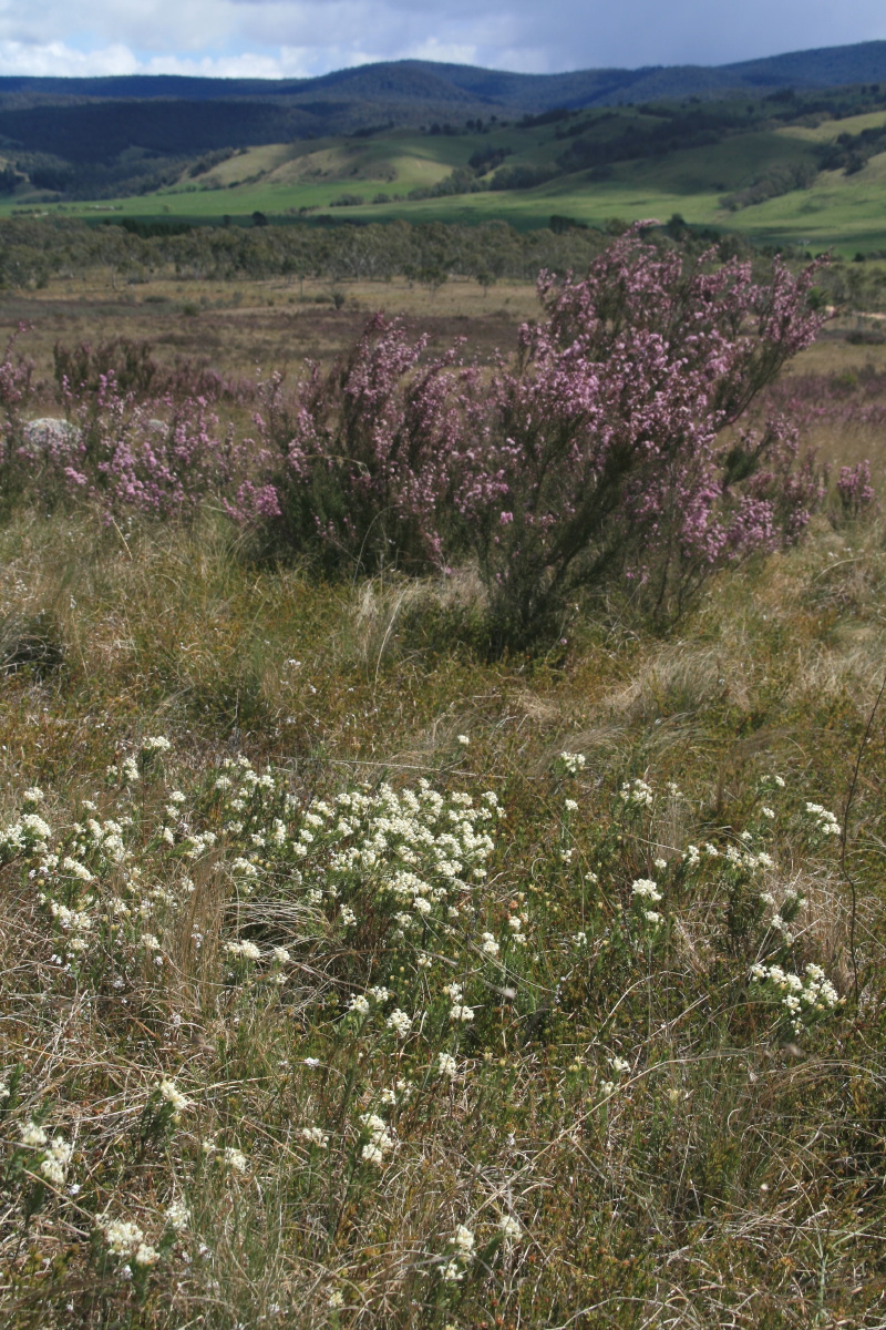
with Leucopogon Virgatus
Pultanaea, L. squamatus,
Trigger Plants – 7 Nov 2009
Trigger Plants – 7 Nov 2009
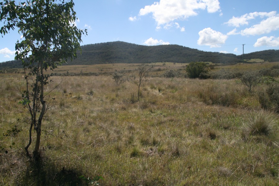
SW corner, looking W
– 30 Dec 2009
– 30 Dec 2009
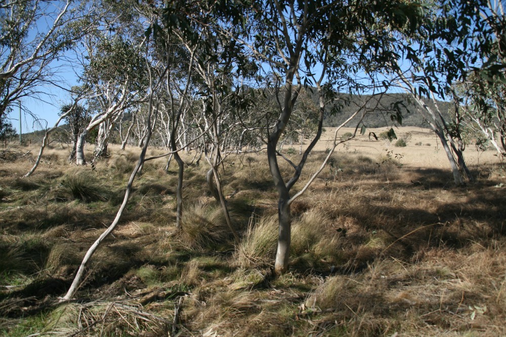
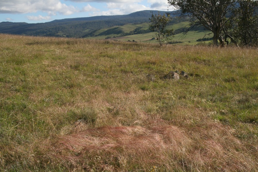
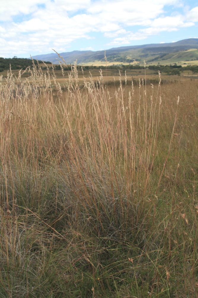
Grasslands in SW Corner
20 Feb 2010 ...
20 Feb 2010 ...
Towards ESE from SW Corner
Towards NE from SW Corner
5 April 2010
W from Picnic Corner
W from Picnic Corner
SW from Picnic Corner
SW from
beside the copse
beside the copse
N along W boundary
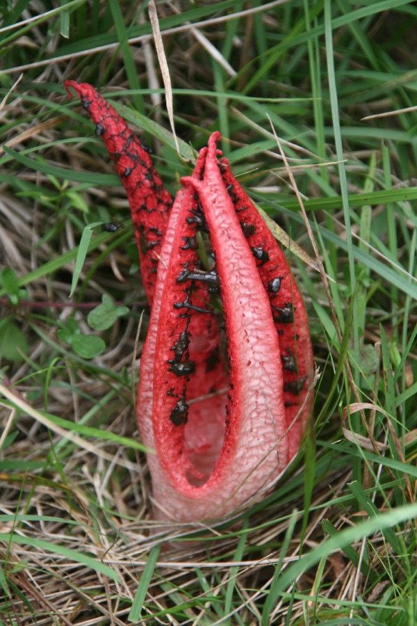
Anthurus archeri
(Seastar Stinkhorn Fungus)
(Seastar Stinkhorn Fungus)
... and its location
Leptosperm, Kunzea,
Banksia marginata,
sthn streamline
2 May 2010
Banksia marginata,
sthn streamline
2 May 2010
Bracken fern
and Lomandra
and Lomandra
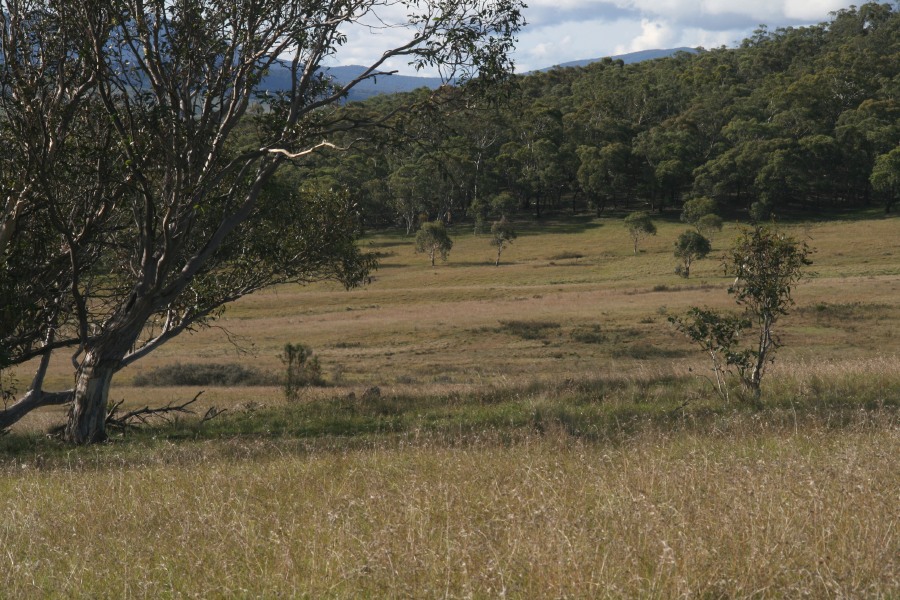
Rolling hills, NW ...
... West ...
... SW, into late pm sun
6 Nov 2010 – Kunzea,
view westwards ...
view westwards ...
... and Pultenaea, SW ...
... and southwards
Colours!
Kunzea and the scrape,
northern block looking NE
northern block looking NE
Kunzea and the
view SW again
view SW again
28 Dec 2010
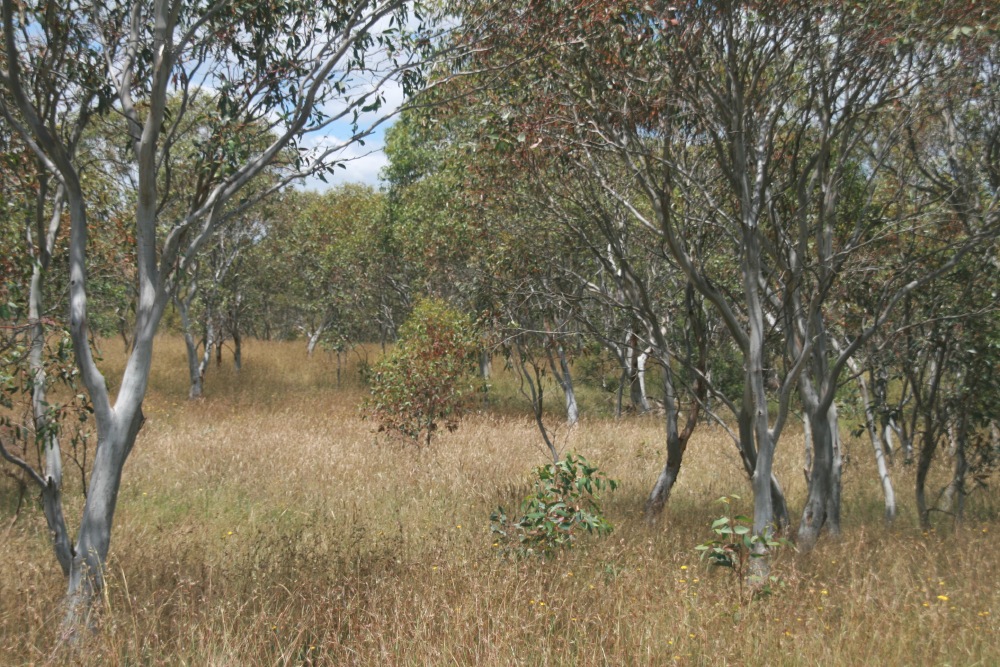
Joycea pallida
Joycea pallida
Plumegrass and Themeda

16 Nov 2011
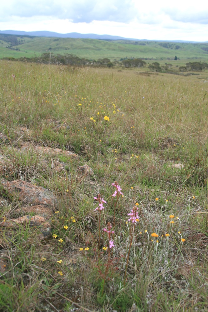
Stylidium and View WNW
Stylidium and View WNW
Goodenia hederacea alpestris
and Hibbertia
and Hibbertia
10 Dec 2011
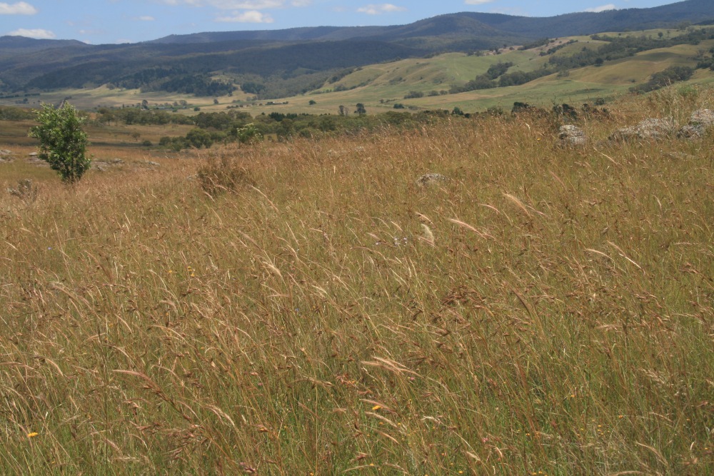
Grasslands ...
Grasslands ...
... and Zero

22 Oct 2012
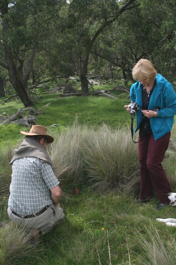
Rainer Rehwinkel, Echidna Ridge
Rainer Rehwinkel, Echidna Ridge
Tosca and View
at Picnic Corner
at Picnic Corner
Poa Lab.
below Picnic Corner
below Picnic Corner
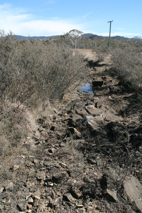
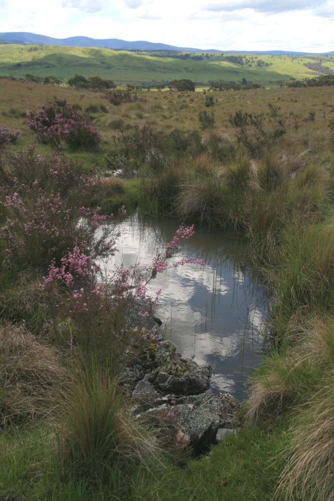
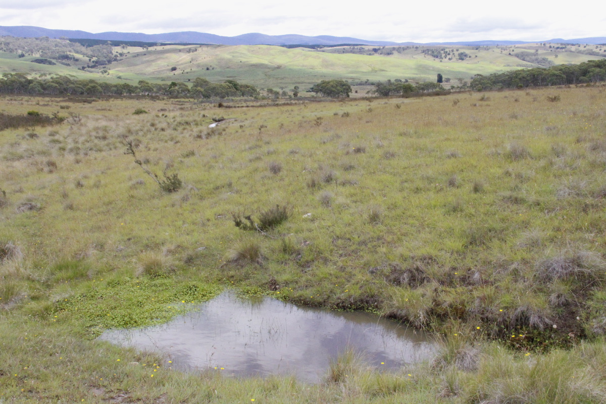
The northermost waterline
Along the NE fenceline
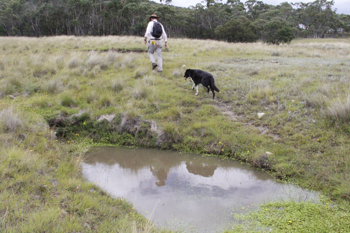
Tosca introducing
Brunig to his property
Brunig to his property
Pimelia and Kunzea on
the South of Centre Bock
the South of Centre Bock
Kunzea along the wires
at the southern end
at the southern end
14 Nov 2012
Pultanea subspicata ...
Pultanea subspicata ...
... carpeting sections
of the property
of the property
Kunzea, Leptosperm,
Poa sieberi
Poa sieberi
4 Jan 2013
with Sweet Vernal
showing golden-brown
with Sweet Vernal
showing golden-brown
7 September 2013
Gateway Gully
Gateway Gully
25 September 2013
Leucopogon virgatus
east of central block
Leucopogon virgatus
east of central block
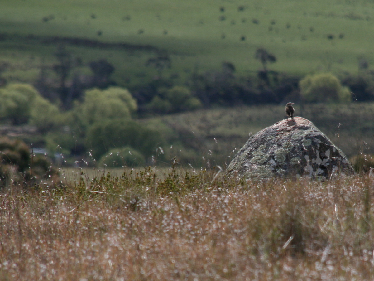
Lark on rock,
west end of Echida Ridge
His favourite rocks
have bare patches on top
west end of Echida Ridge
His favourite rocks
have bare patches on top
8 January 2014
Looking SSW from
near the NW corner
Looking SSW from
near the NW corner
20 August 2014
N side of the gate
N side of the gate
S side of the gate,
and very wet
and very wet
Gate Gully,
full wombat-holes
full wombat-holes

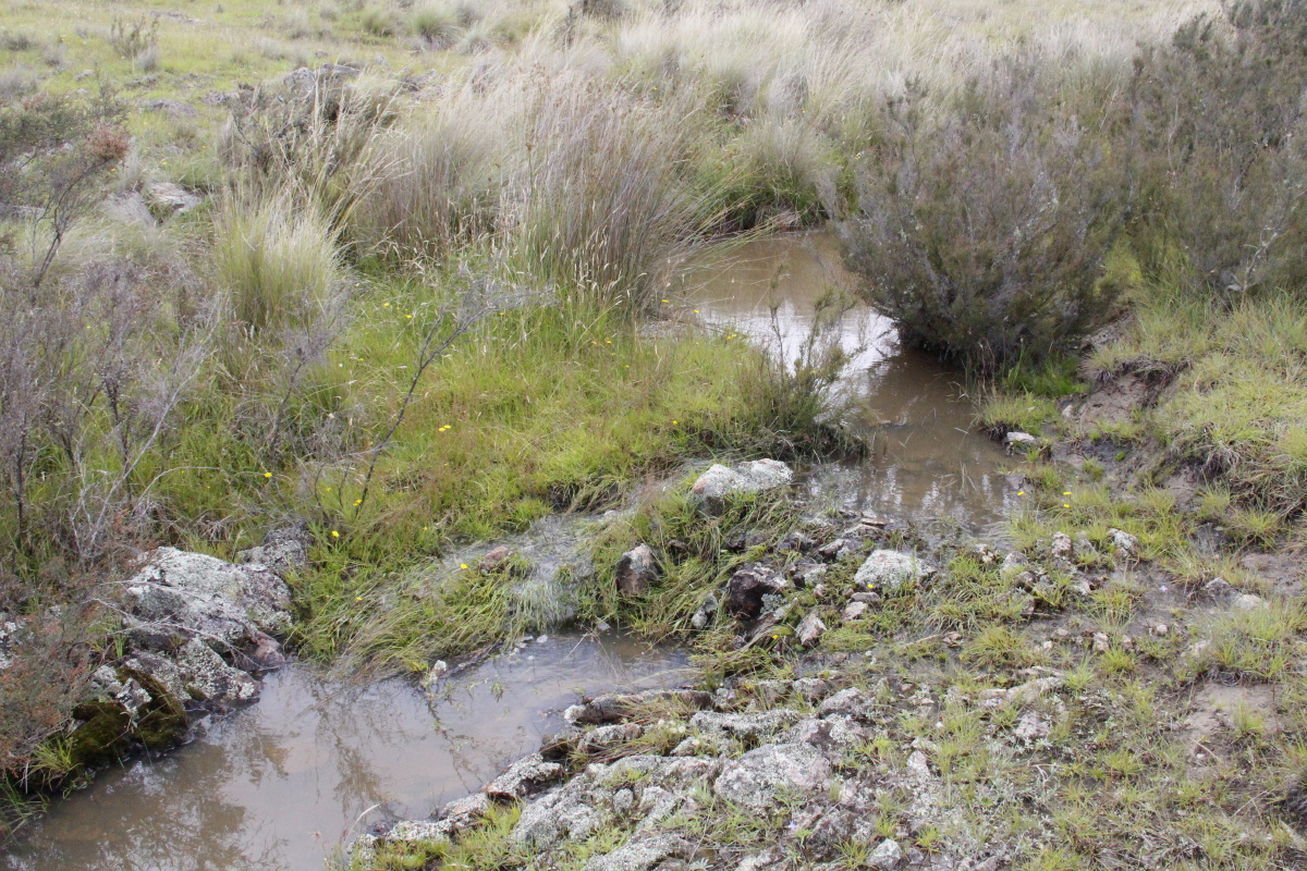
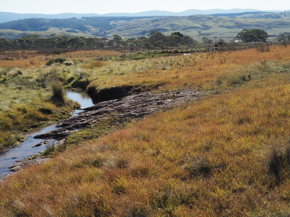
The waterline
beside the track
just inside the gate
beside the track
just inside the gate
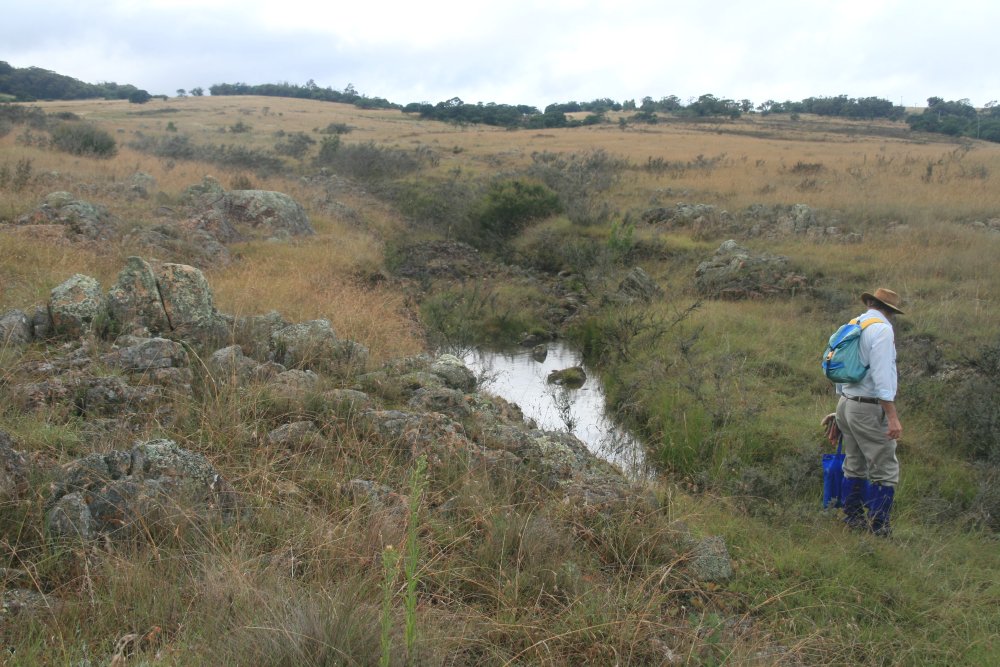
Just upstream
Flowing gently,
foaming gently
foaming gently
The spring, 40m
up the slope
up the slope
Kunzea watch
centre-east
centre-east
Down ...
... Gate ...
... Gully
The spring
and its waterline ...
and its waterline ...
... ENE from
the house-block
the house-block

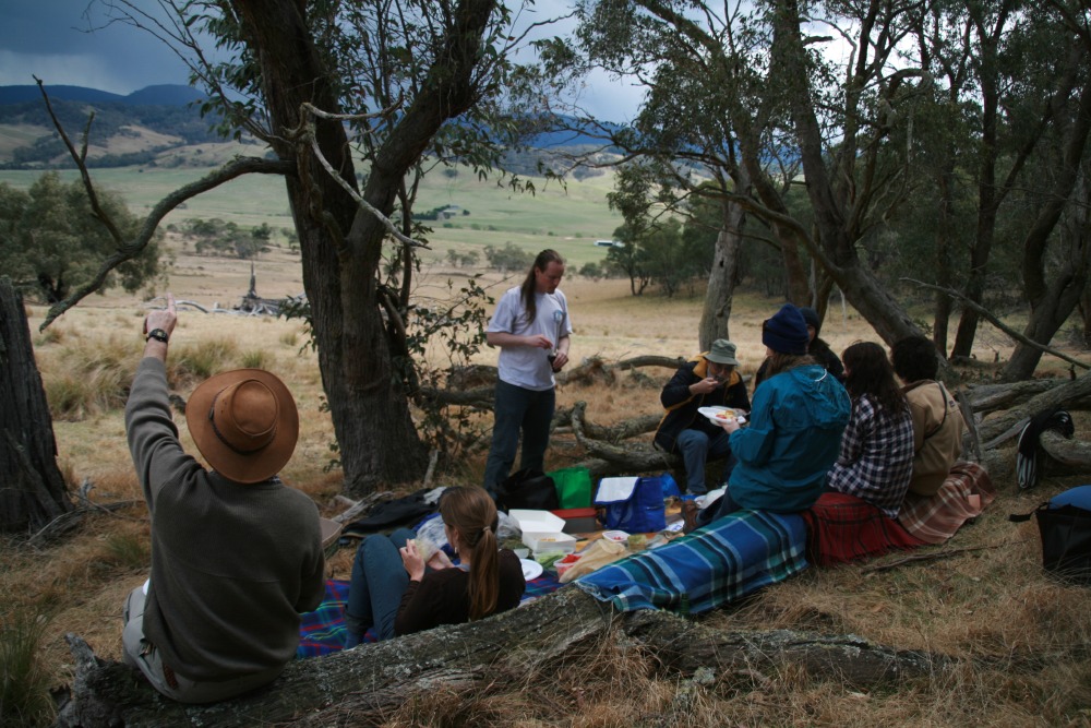
Lunch on Echida Ridge,
looking W to Tallaganda
looking W to Tallaganda
High on a wet
Echidna Ridge,
looking NW
Echidna Ridge,
looking NW
Just as wet on the
lower rock-shelves
lower rock-shelves
14 Dec 2014
Grasslands ...
Grasslands ...
... with Stylidium ...
.. with Chrysocephalum
semipapposum
semipapposum
14 Jan 2015
West from the ridge
West from the ridge
And North
incredibly green!
incredibly green!
And NW across
Chrysocephalum apiculatum
Chrysocephalum apiculatum
Lunch at
Peppermint Corner
Peppermint Corner
15 Apr 2015
Top end of the
southern waterline ...
Top end of the
southern waterline ...
... with blackberries
and without
and without
The view westwards
Themeda
in autumnal red
in autumnal red
21 Oct 2015
Tom Roberts Landscape
Tom Roberts Landscape
And Kunzea threatening
Pimelia glauca
Pimelia glauca
30 Jan 2016
New A. mearnsii
beside the house-block
New A. mearnsii
beside the house-block
21 Mar 2020
Hibbertia, nthn Gate
Gully, looking W
Hibbertia, nthn Gate
Gully, looking W
NNW, with the red
of Themeda stems
of Themeda stems
W from North Block
29 Mar 2020
Sthn waterline,
looking WNW
Sthn waterline,
looking WNW
14 Apr 2024
Northern Waterline,
looking westwards,
after soaking rains,
the Themeda very red
Northern Waterline,
looking westwards,
after soaking rains,
the Themeda very red