During the first fortnight of July 2010, we led a group comprising eight friends from Canberra on a fortnight of the best walks that we've found in northern Italy and central Switzerland.
This page contains shots from two preparatory walks during the preceding fortnight, in the Pitztal in Austria, and near Bled in Slovenia (while Roger was busy at the eConference), plus a walk on the last day of our holiday, in Stoos in Canton Schwyz in the heart of Switzerland.
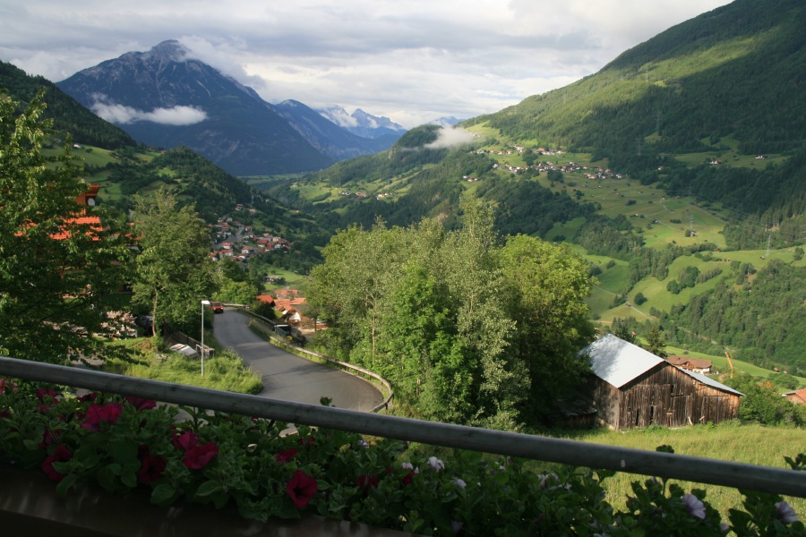
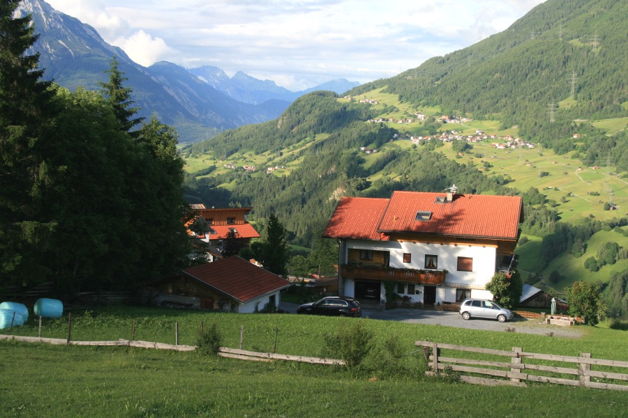
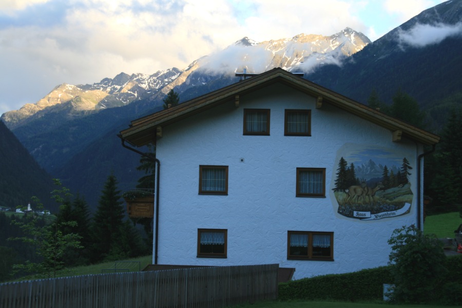
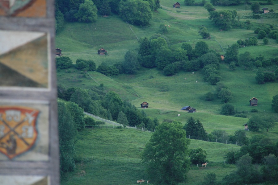
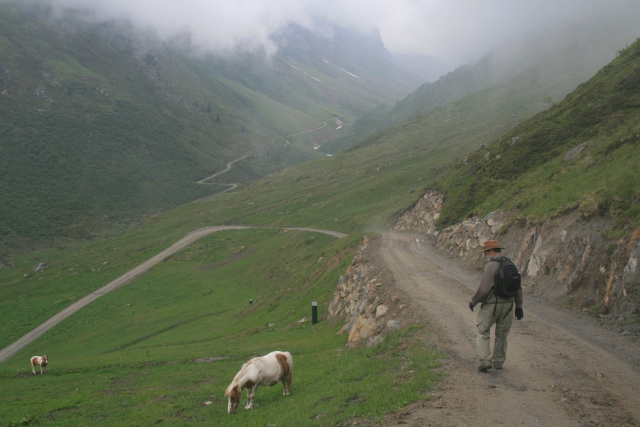
Pitztal, Austria – 18-19 June 2010 – +/- 500m and 8km. Apart from the glorious location of the Zimmer Frei we found, we did a wet-walk in a peat-moor, and the following day we went up from the end of the valley to the Rifflsee, and back along the same path
|
|
|
|
| View from our bedroom window above Wenns | The house from above ... | ... and from below | In the village of Wenns |
|
|
|
|
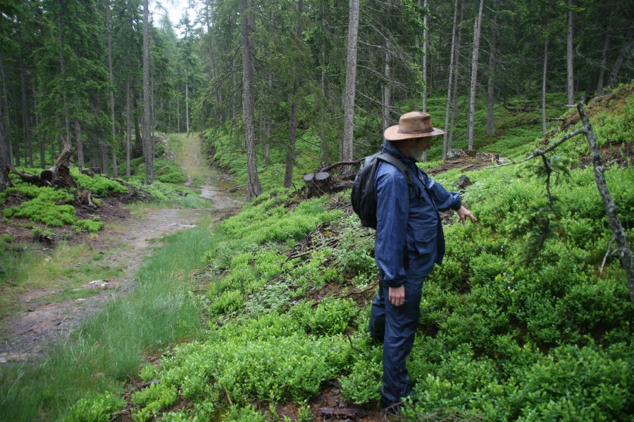
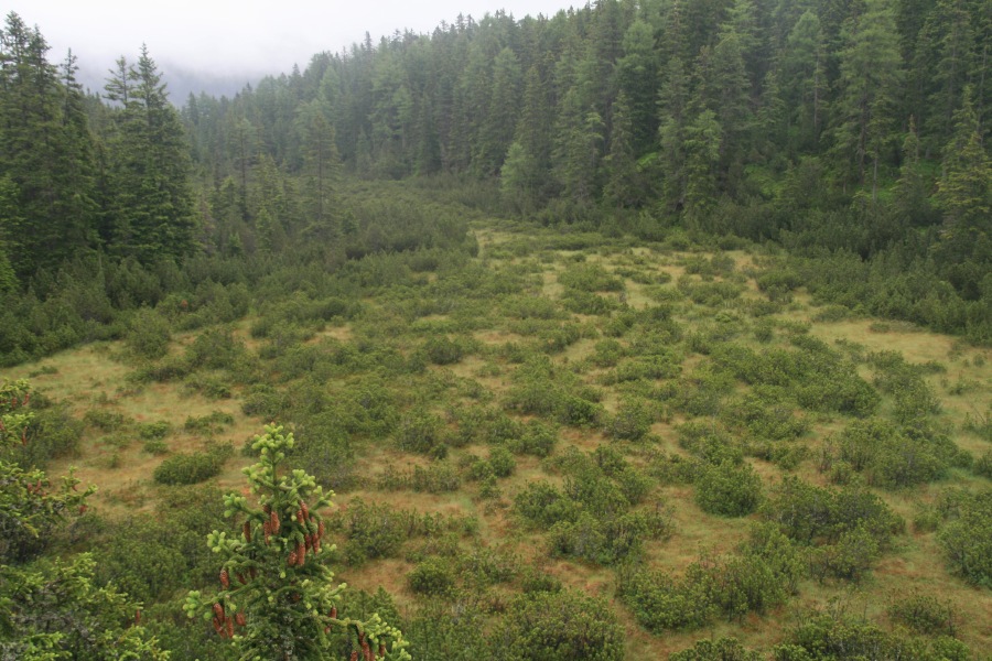
| In the woods beside the peat-bog | The flower-rich bog was, well, boggy | Drier the next day, we set out up to Rifflsee | Looking back down the path we'd followed, plus Alpenrosen |
|
|
|
|
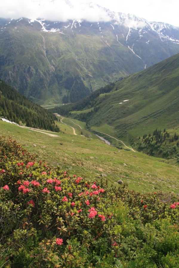
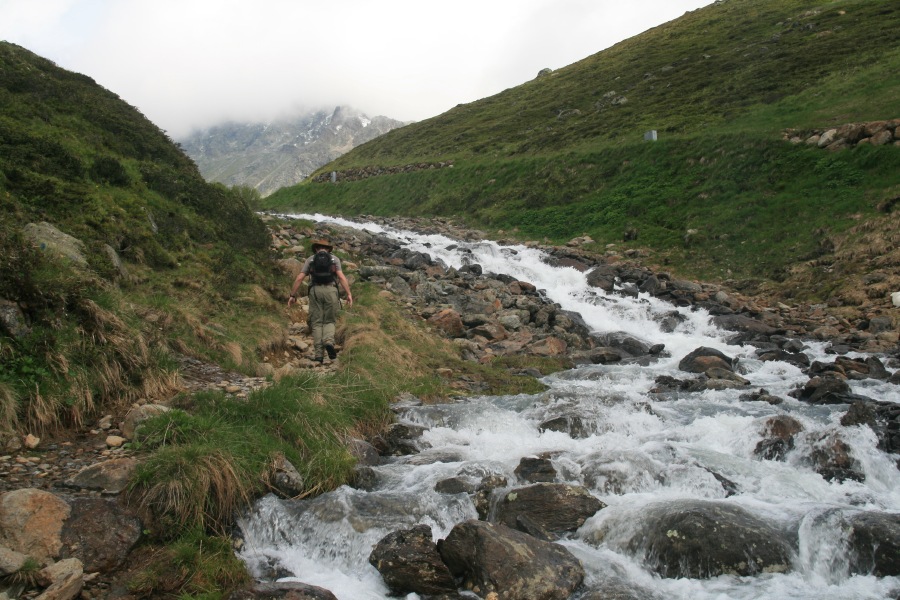
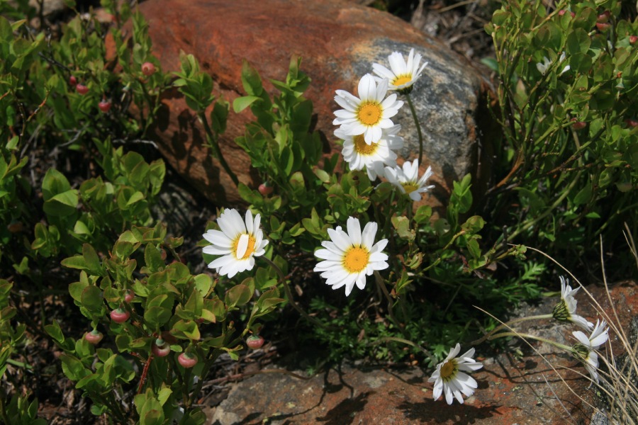
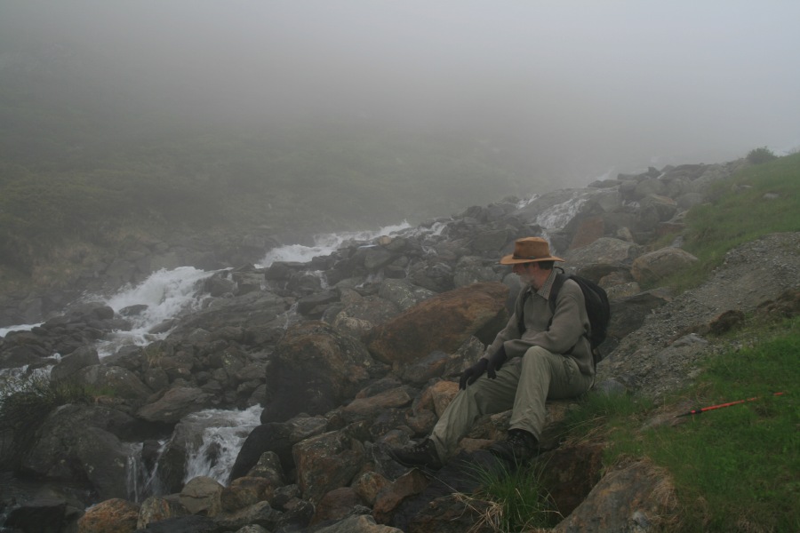
| The busy stream, still carrying melt, with the weather closing in | A small nod to the hundreds of flowers (and photos of flowers) – an Alpine Moon Daisy | We were in cloud above the lake, and in the upper part of the walk back down | A view up into the glaciated side-valley |
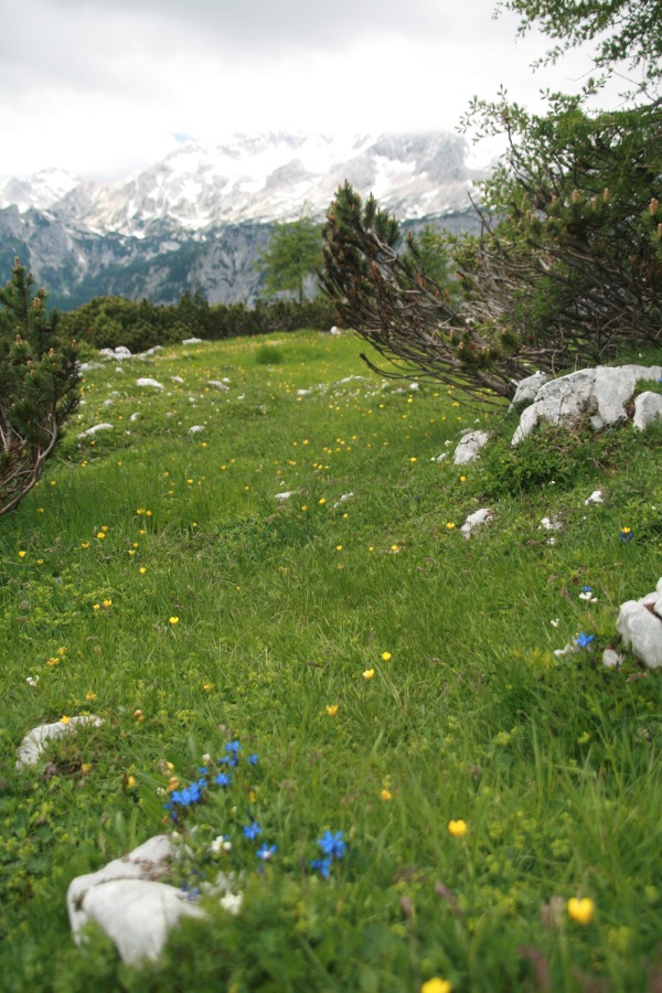
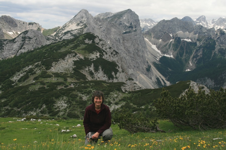
Lipanski vrh, 10km NW of Bled, Slovenia – 21 June 2010 – +/- 600m and 12 km – Linda did a substantial walk in the Julian Alps, north-west of Bled, while Roger was busy at the conference. She did it alone, and saw almost no-one.
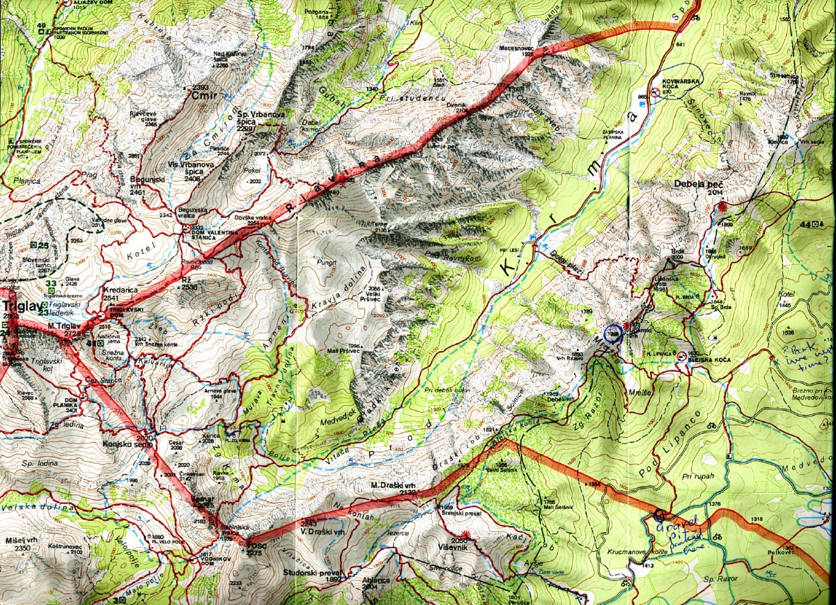 |
The walk is on the right-hand edge of this map, starting
1.5km east of Visevnik, up to a ridge 4.5km due east of the main peak
of the range, Triglav |
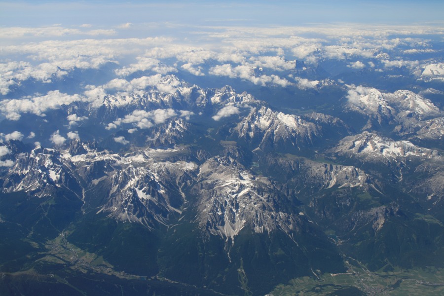 |
Linda took this aerial shot a couple of days after
the walk, en route to Istanbul. The line-of-sight is a little west of
south. Triglav is slightly above and left of centre, and Kranska Gora
is bottom right. Lipanski vrh is just out-of-picture to the centre-left |
 |
 |
 |
 |
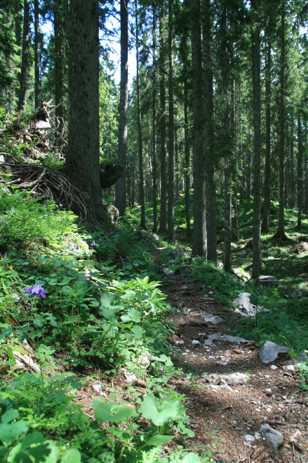
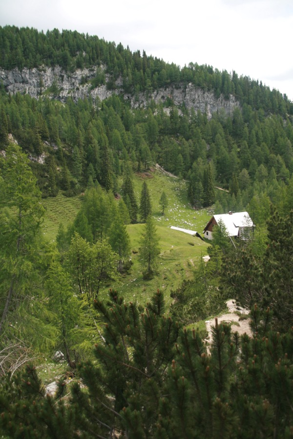
| Triglav, in cloud, seen from our balcony at the Toplice Hotel in Bled before setting out | Clematis seen during the forest-walk, at c. 1500m | A view across to a hut (presumably Blejska Koça), as the forest began to open out, about the 1800m mark | Up on the ridge at c. 1950m, looking west and upwards towards the 2864m peak of Triglav |
 |
 |
 |
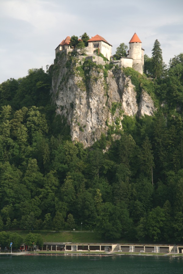 |
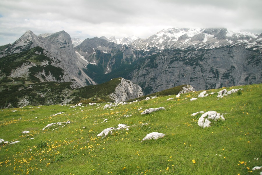
| Looking west, with Triglav on the right, and the bare Visevnik and M. Draski vrh on the left. (Roger walked up those two in the early 1990s) | Looking SE, with Bled and the Karawanken (the last outpost of the Alps) in the distance, and the same hut as before | Unaided self-portrait, with Visevnik and M. Draski vrh, and the 1,000m-deep cleft of the Krma rift valley to the right | Back safely in Bled, looking from our balcony at the castle, in the early evening light |
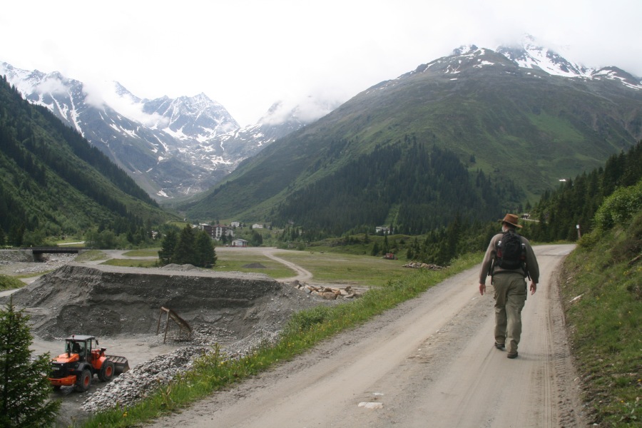
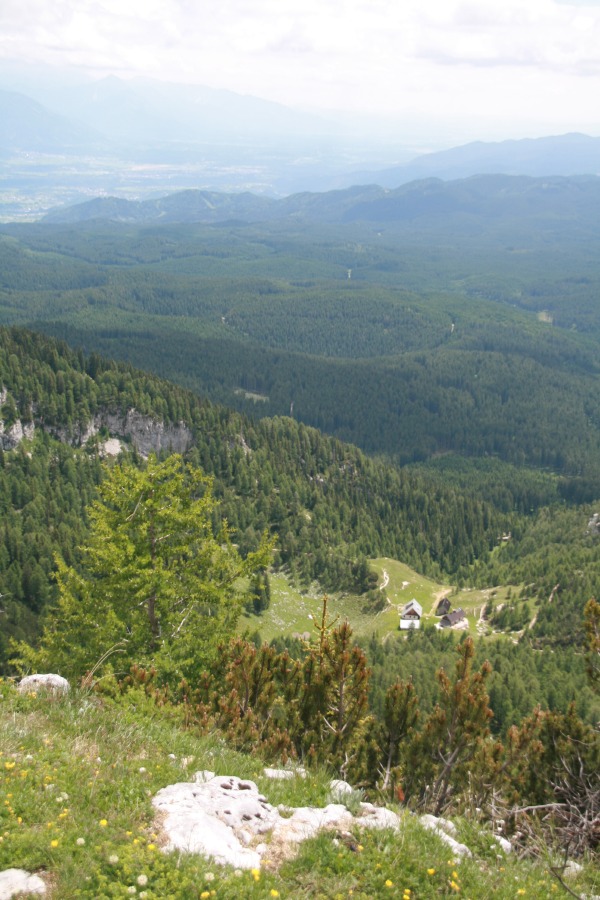
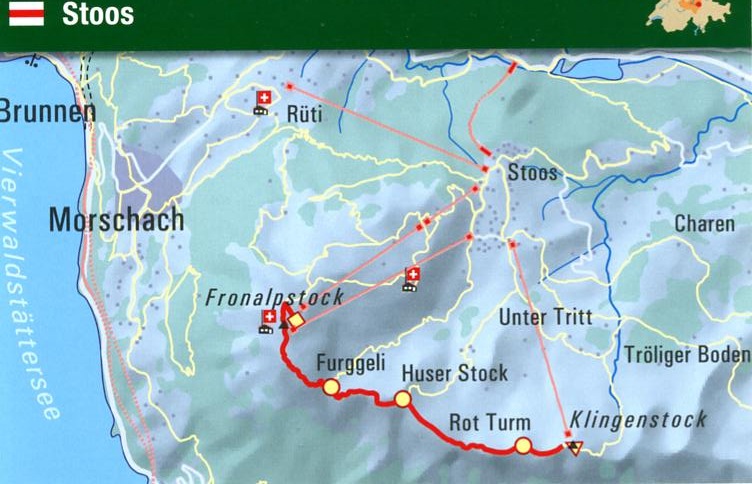
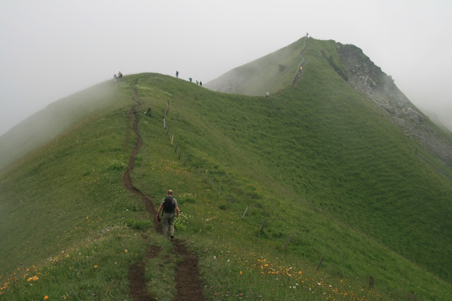
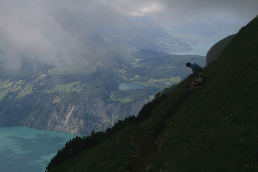
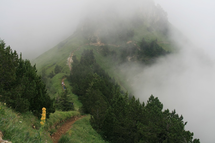
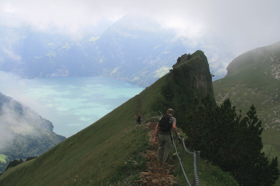
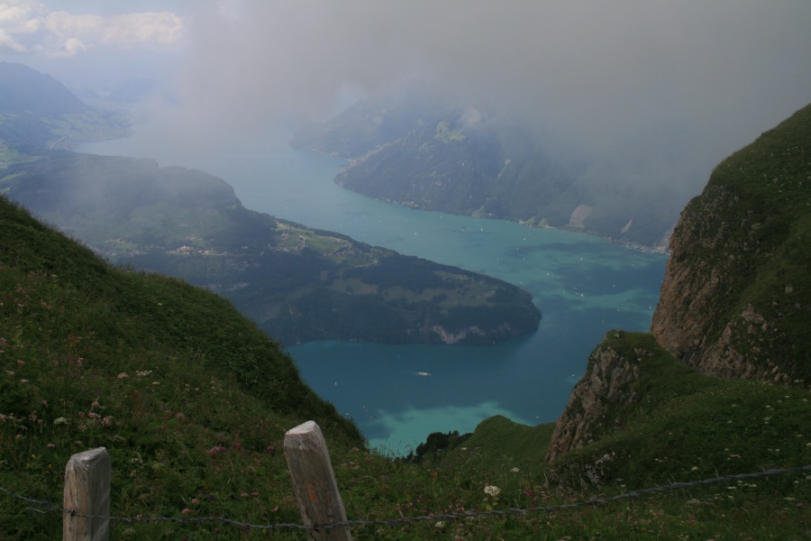
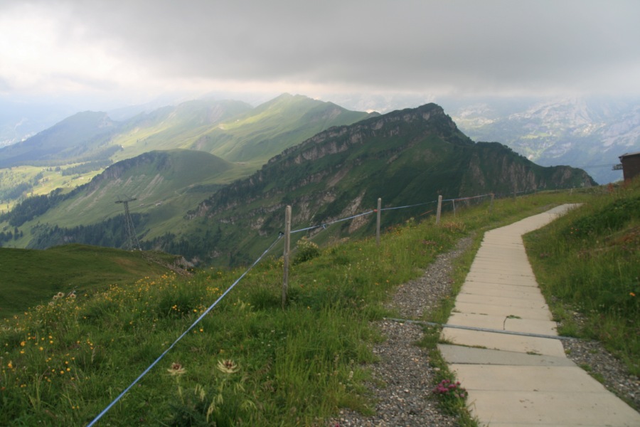
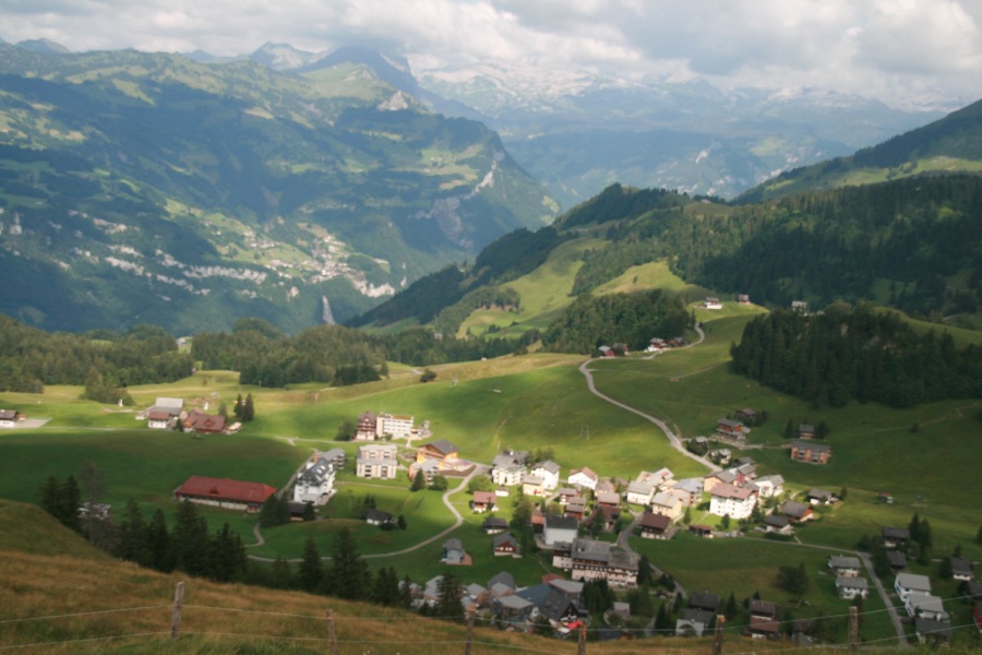
Stoos, Canton Schwyz – 18 July 2010 – +/- 900m and 12.5km – Later, after the group went their (many) separate ways, we stayed at the Steim family's holiday-house in Kanton Schwyz for 2 nights, and did one last walk. We went up the Chlingenstock (+600m and 4km? in 1:30 hrs, i.e. 400m per hr), along the newly-opened and very narrow Grat, in cloud most of the time (+/- 300m and 4.5km? in 2:30 hrs – very slippery mud plus high steps badly damaged Roger's knees), lunched at the Fronalpstock, then staggered the -600m and 4km? home to Haus Baumann.
 |
 |
 |
 |
 |
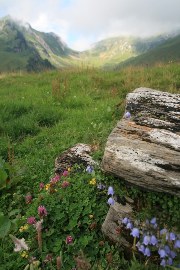
| Looking up towards the ridge | Looking along the ridge, half-way along, during a short break in the clouds | Towards the end of the ridge, over Vierwaldstättersee | A typical segment of the ridge-path (plus yellow gentian) |
 |
 |
 |
 |
| A peak towards the end of the ridge-walk, incl. a demonstration of what damaged knees do to walking-style | View down 1300m from the last segment of the ridge | View along the ridge from Fronalpstock back to Chlingenstock | Looking down on Stoos, and the Muotathal valley in the background |
This is a page within the Clarke-Spinaze Photo Gallery, home-page here
Created: 20 July 2010, en route from Zürich to Sydney; Last Amended: 26 July 2010