Mountain Walks – 2012
13 days of walks over 20 days
The first week of this trip was spent with the Gang in Tuscany, based at Montepulciano,
and another few days were spent in Firenze, based in Fiesole. But we still
managed to fit in some serious walking, some on cliff-rimmed coastline, and
some in mountains.
Click on any image to see a larger version
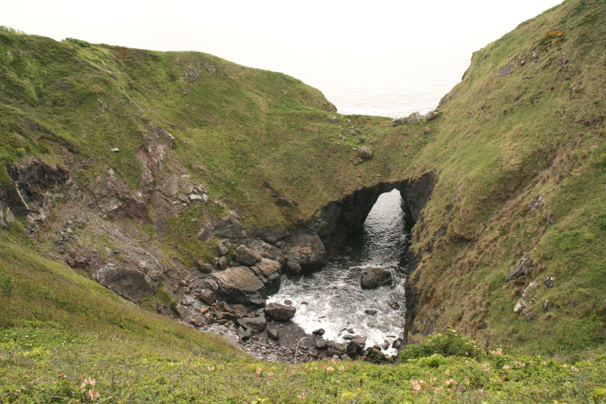
The Lizard in Cornwall – 3rd week of May
The Lizard is the southernmost peninsula
of the UK, between Penzance to Falmouth, and generally thought of as one
of the best parts of the
south-west coastal path.
It has cliffs and some beaches, and some interestingly diverse geology and
vegetation. We spent 5 days doing the 58miles / 93km with c. 500m rise and
fall each day along the c. 70m cliffs.
The logistics are slightly challenging. We did the first part of our track,
from Marazion to Porthleven (21km), by driving from our base (at Downfield
B&B near Maenporth) to Porthleven, and catching the bus west. (The bus
was delayed, as the Olympic Flame came past us). The remainder we did by leaving
the car at Downfield, walking (the last part of the section) to Falmouth, and
catching the bus to Porthleven. Then we resumed the walk eastwards around the
peninsula for five days, staying
at B&Bs at Mullion (18km), The Lizard (11km) and Coverack (18km). The last
day was a little tiring (25km) back to Downfield, incl. fording Helford Passage
at low tide when the ferry (punt) wasn't running.
|
|
|
|
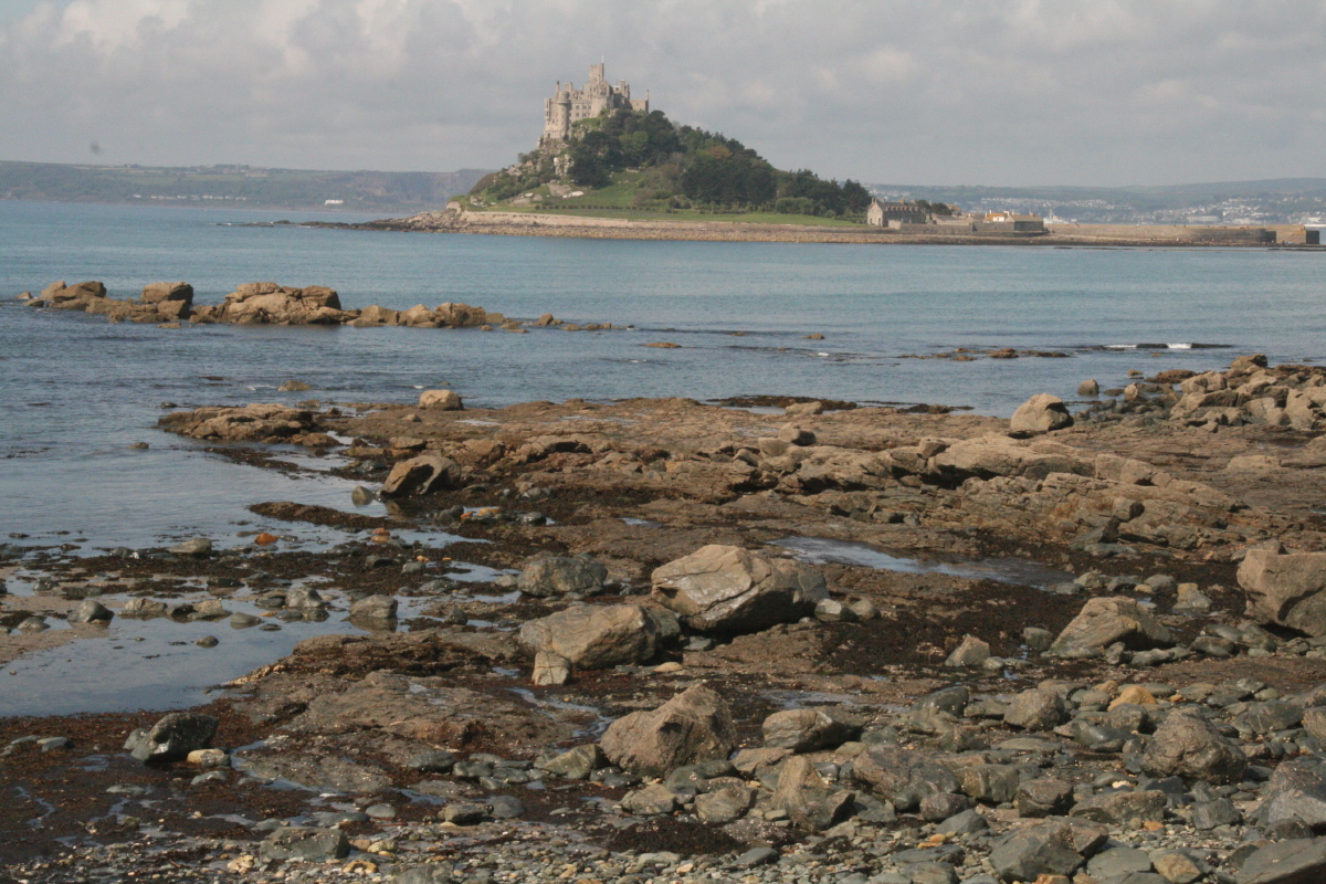
St Michael's Mount,
opp. Marazion |
Peregrine Falcon
en route to Porthleven |
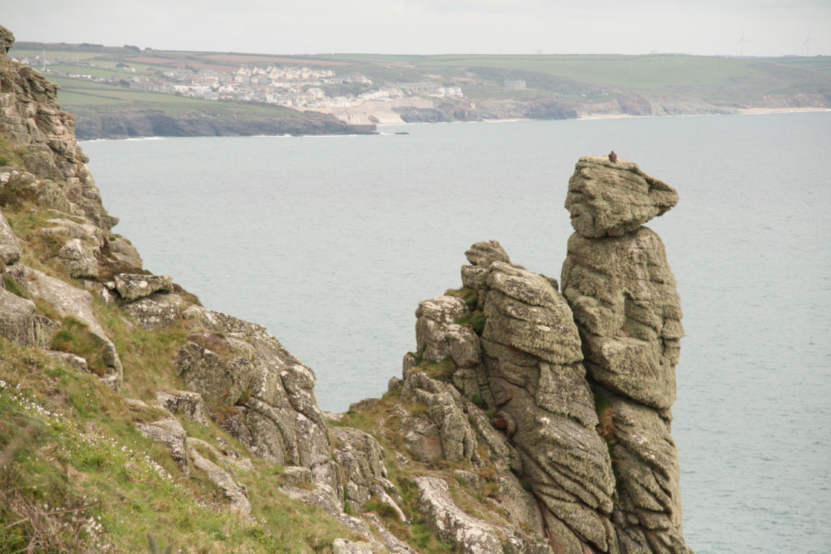
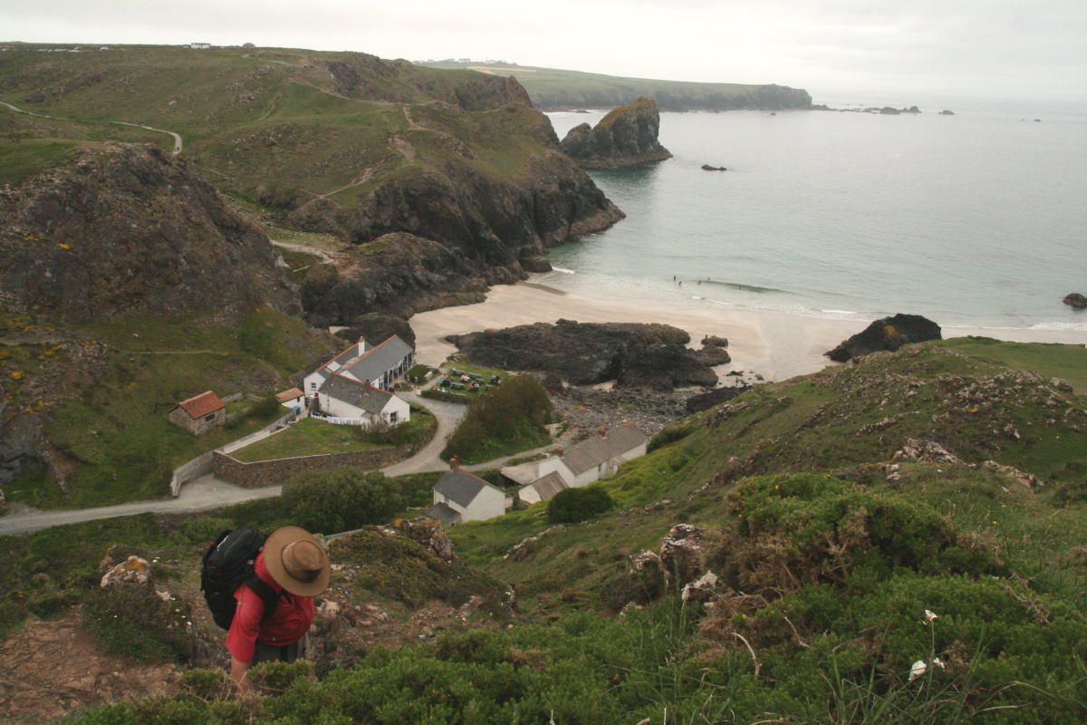
Mullion Cove |
The Pound |
|
|
|
|
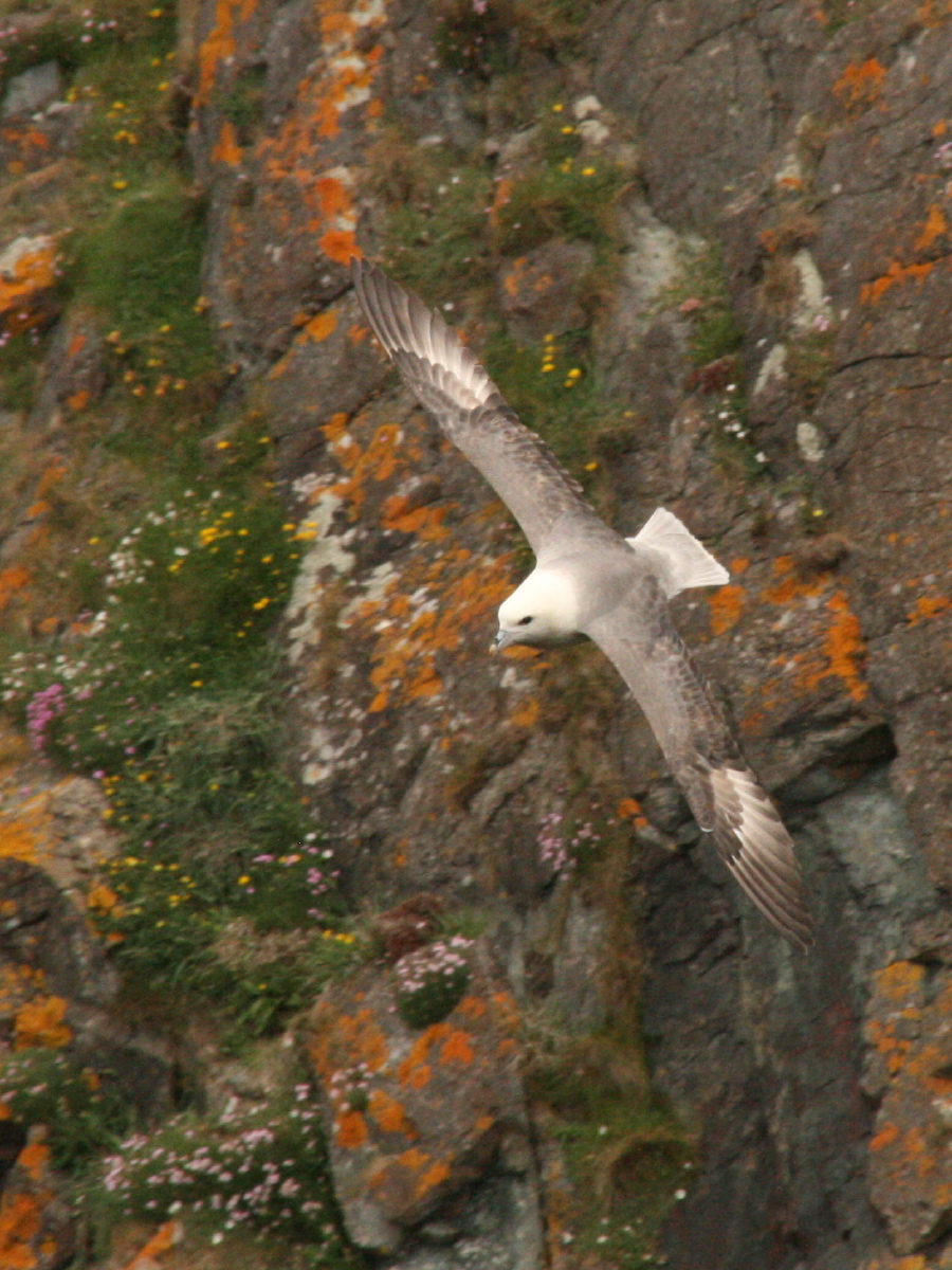
A Fulmar |
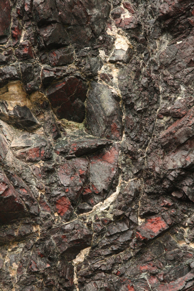
Kynance Cove ... |
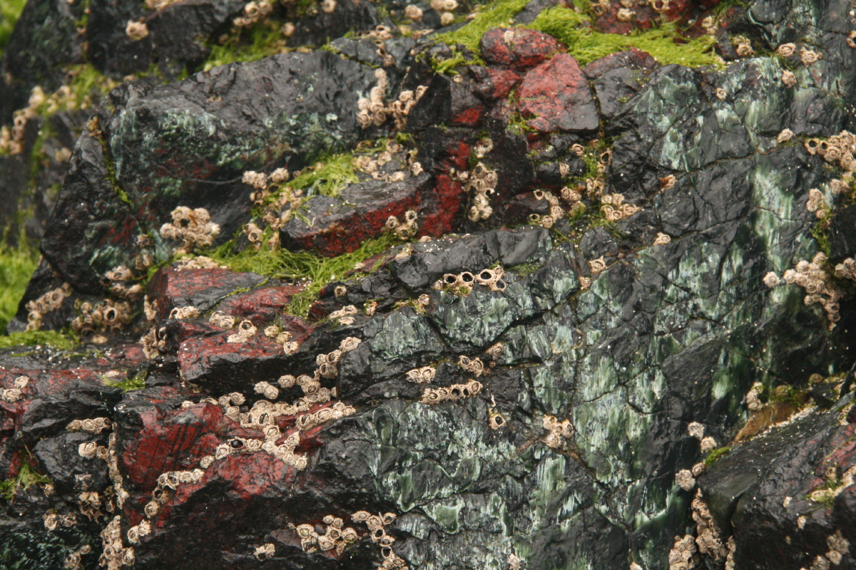
... and its famous rockfaces ... |
... complete with barnacles |
|
|
|
|
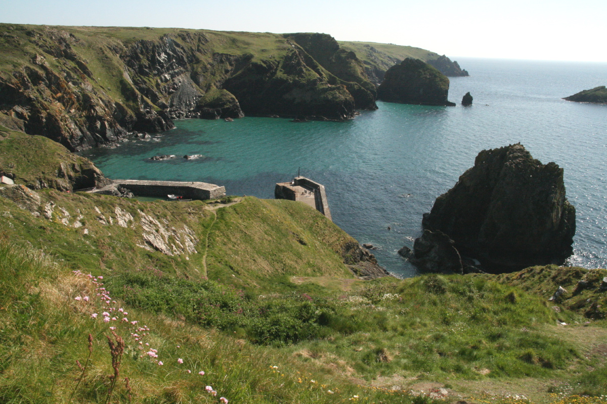
The Devils Frypan |
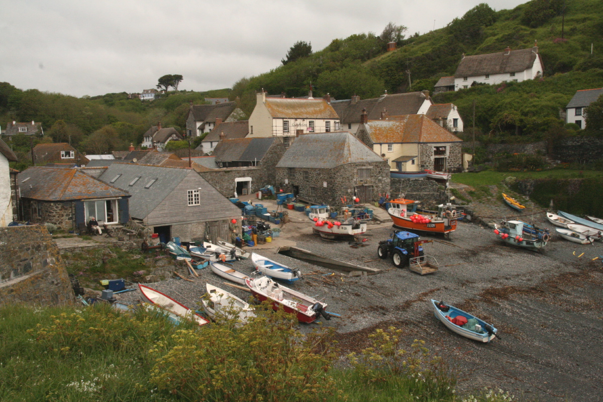
Cadgewith Cove |
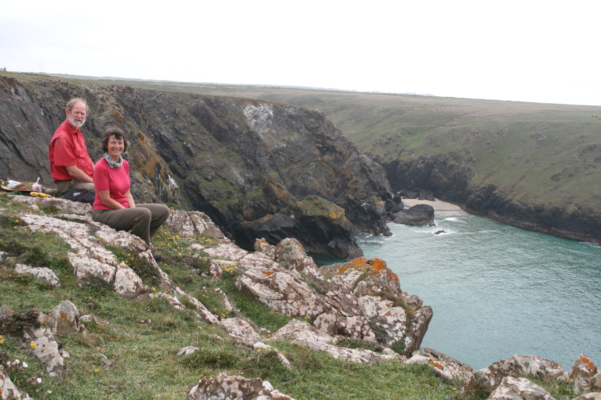
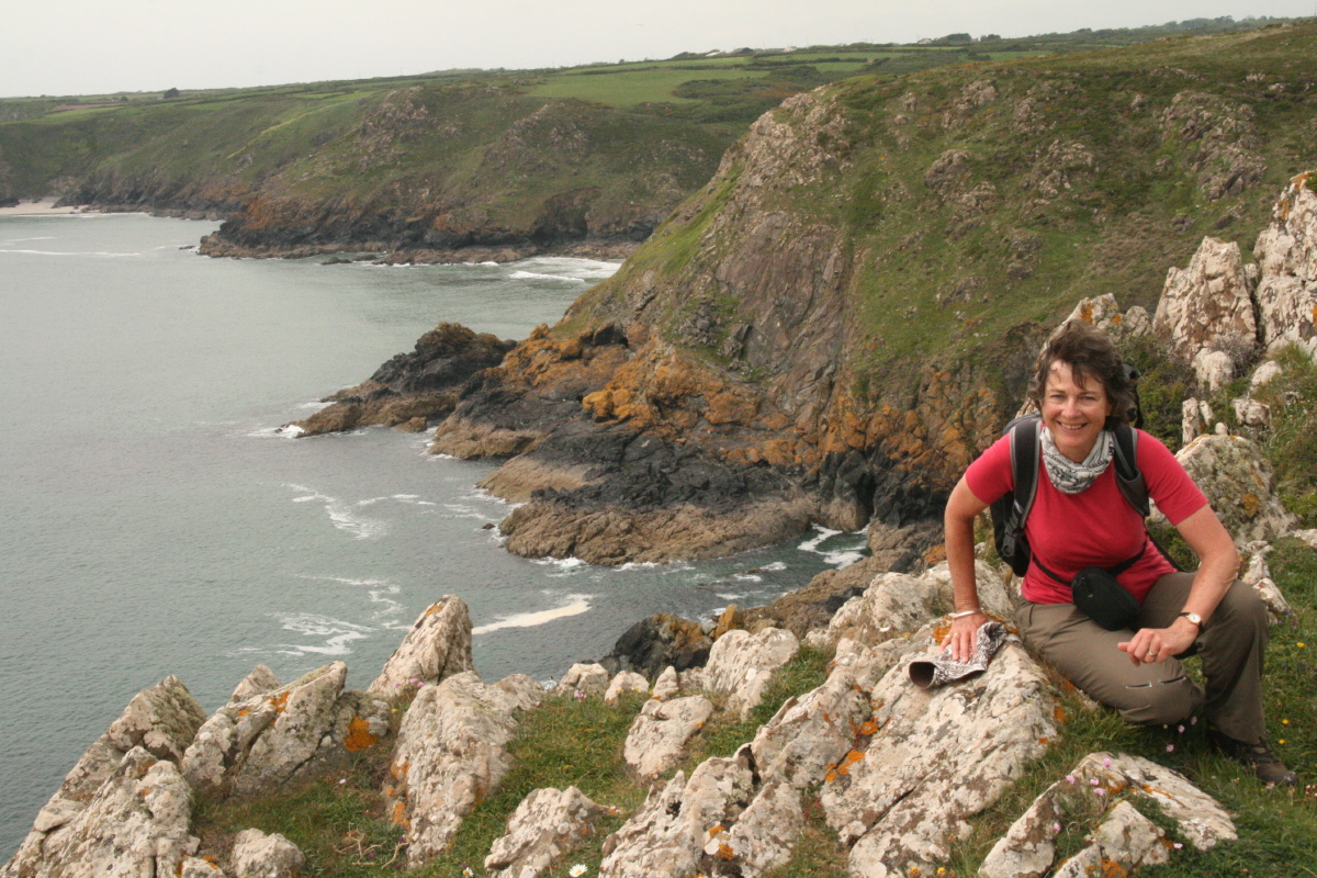
Cliffs and
Happy Walker |
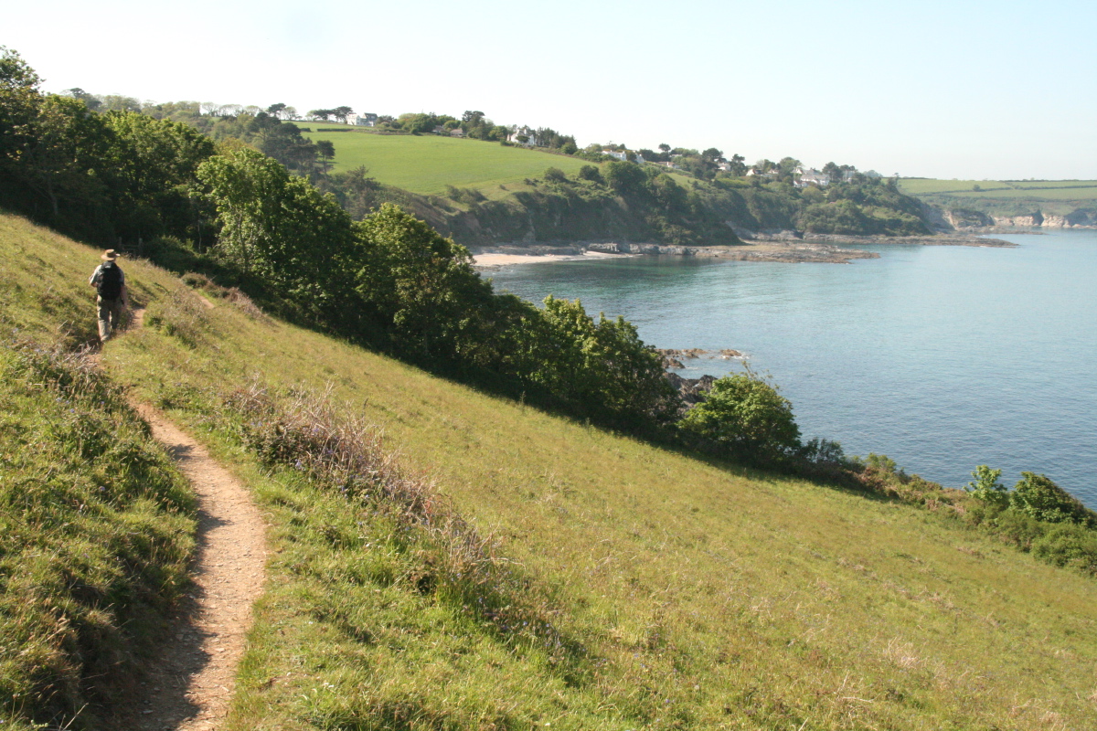
Tha last kilometers
back to Downfield |
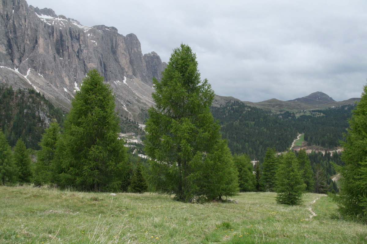
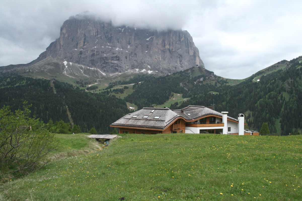
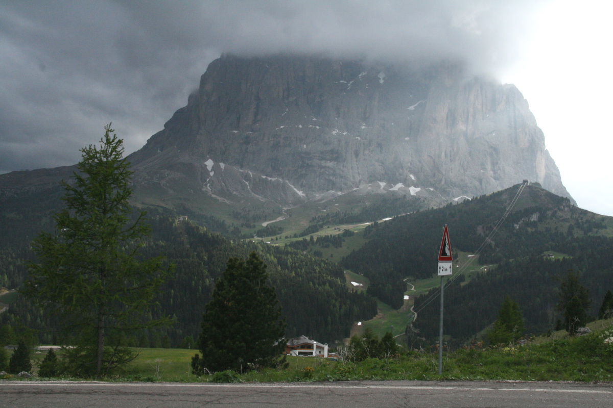
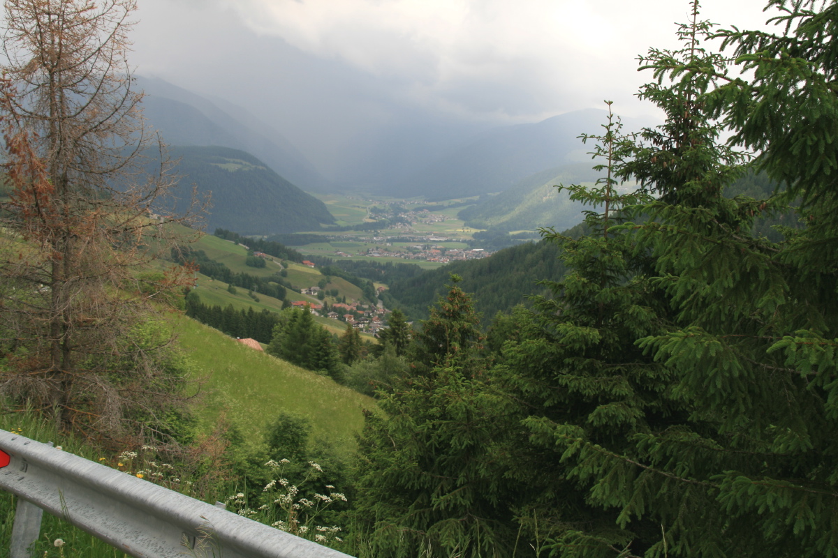
Dolomites – 1st week of June
One of our favourite places is the top of Val Gardena. Chalet Gerard is
rather expensive, but very nice, and overnighting there between Tuscany and
the Tirol enabled us to get a quick evening walk in, further up the valley.
|
|
|
|
Looking north to the Sella Pass |
Looking SW over the Chalet
to Sasso Luongo |
Further up the Valley,
looking up at Passo Gardena |
Even more atmospheric,
late in the day |
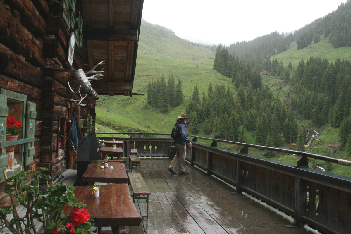
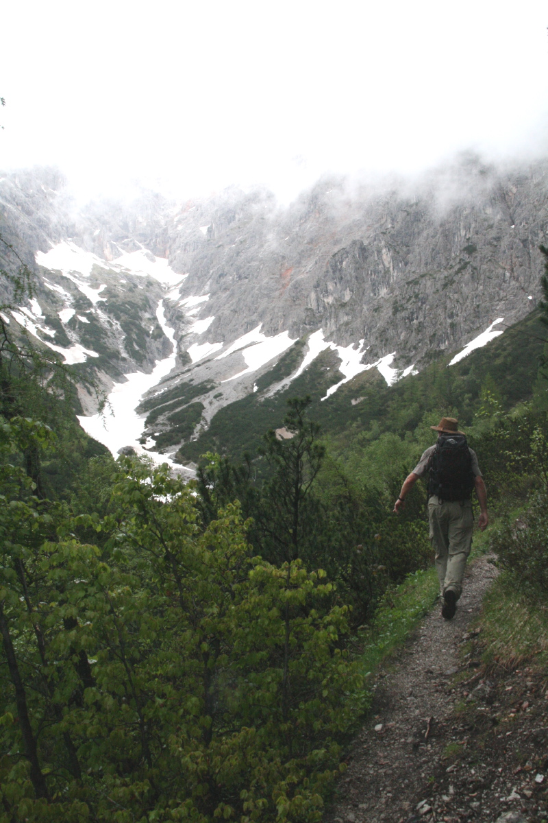
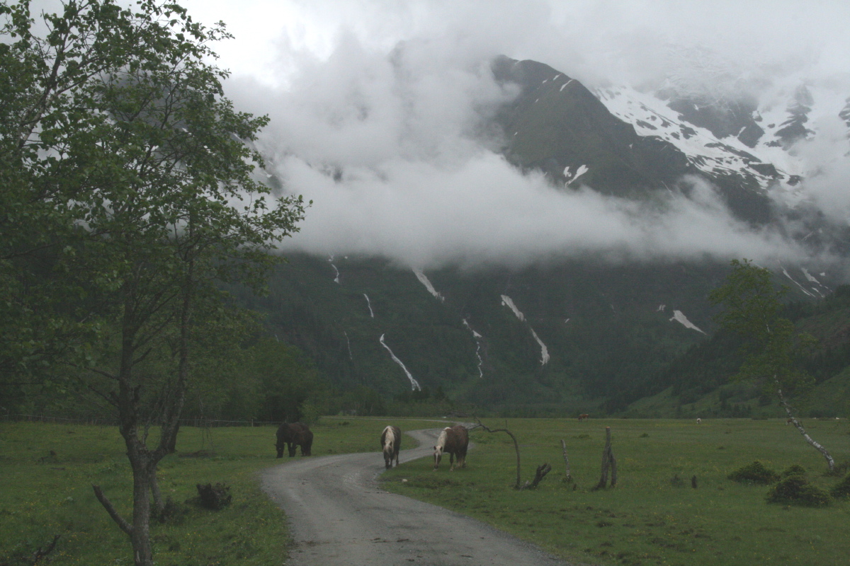
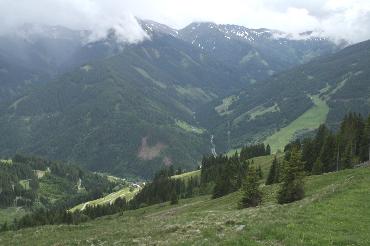
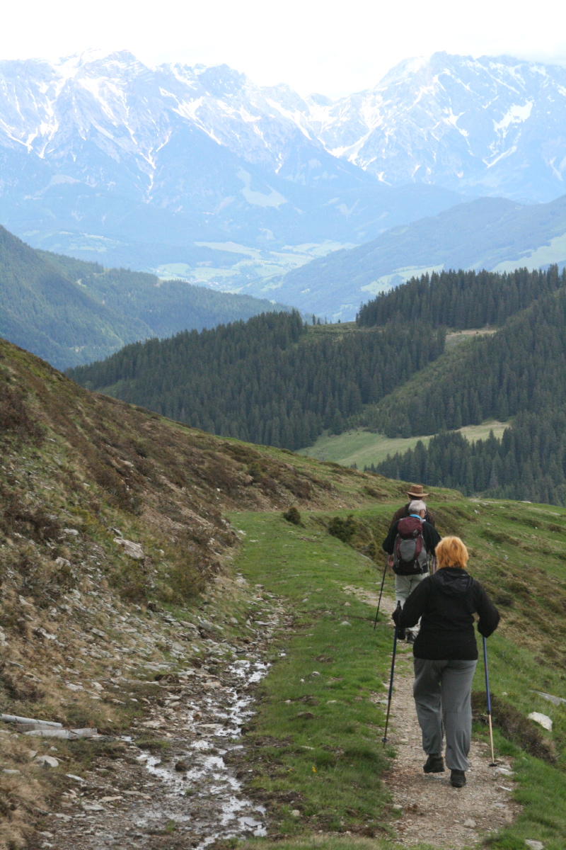
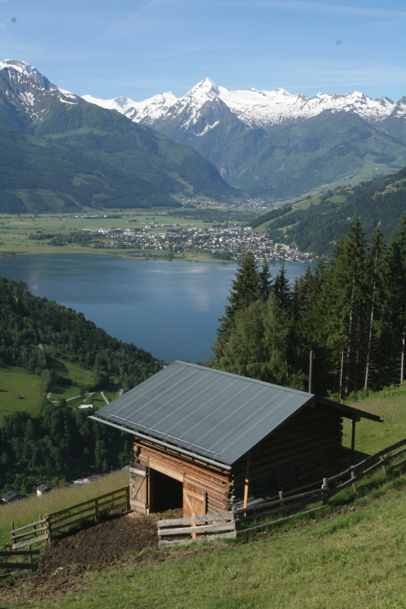
Zell-am-See – 2nd week of June
A nice area, but there were fewer good walks than we expected, and the weather was mostly poor.
|
|
|
|
Near Valdaora, en route
Larch, Kifer and Tanne |
Saalalm, showing
why you carry wet-gear |
Walking some way into
the Steinernes Meer |
A glacial valley
well up into the Hohe Tauern |
|
|
|
|
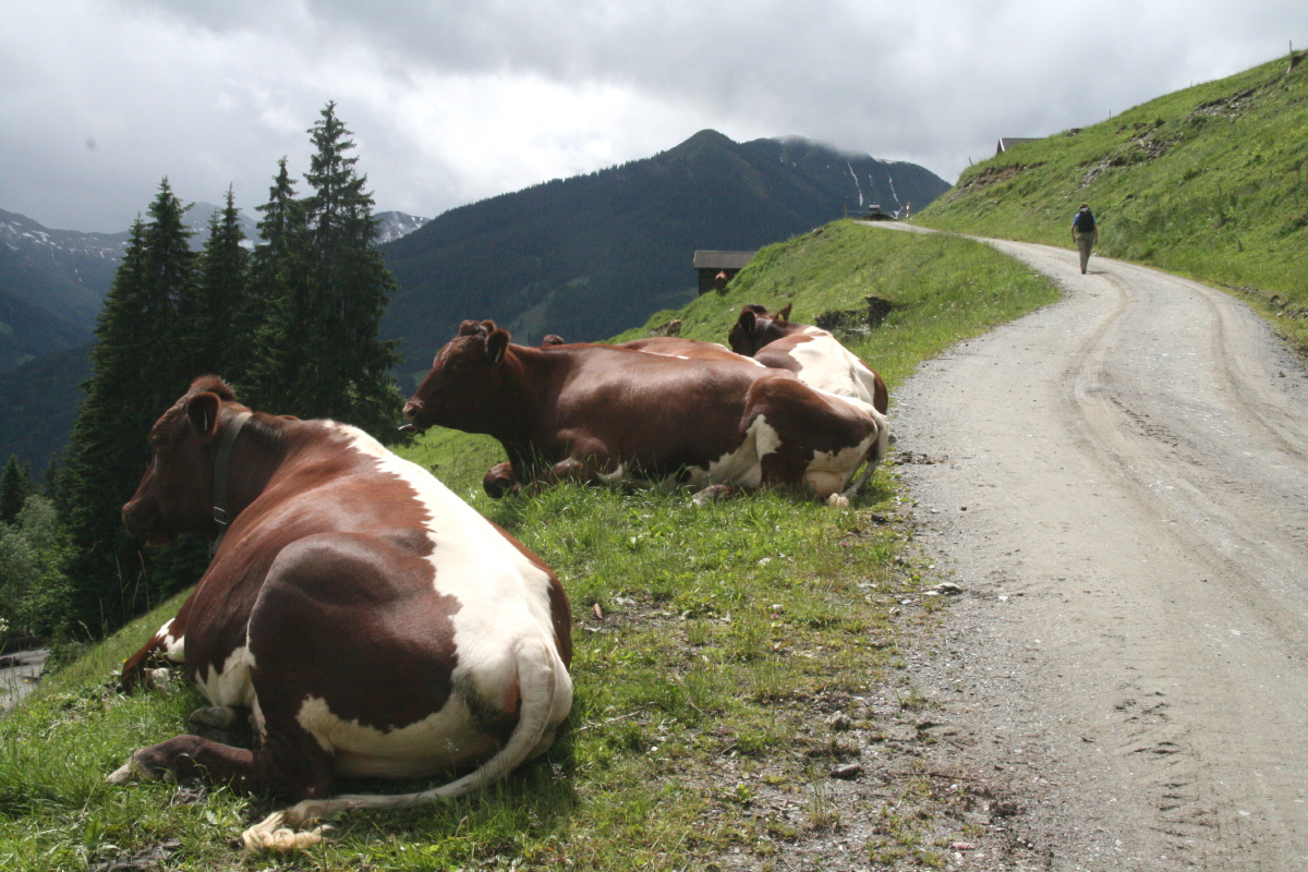
Pinzgauer cattle
above the Saalbachtal |
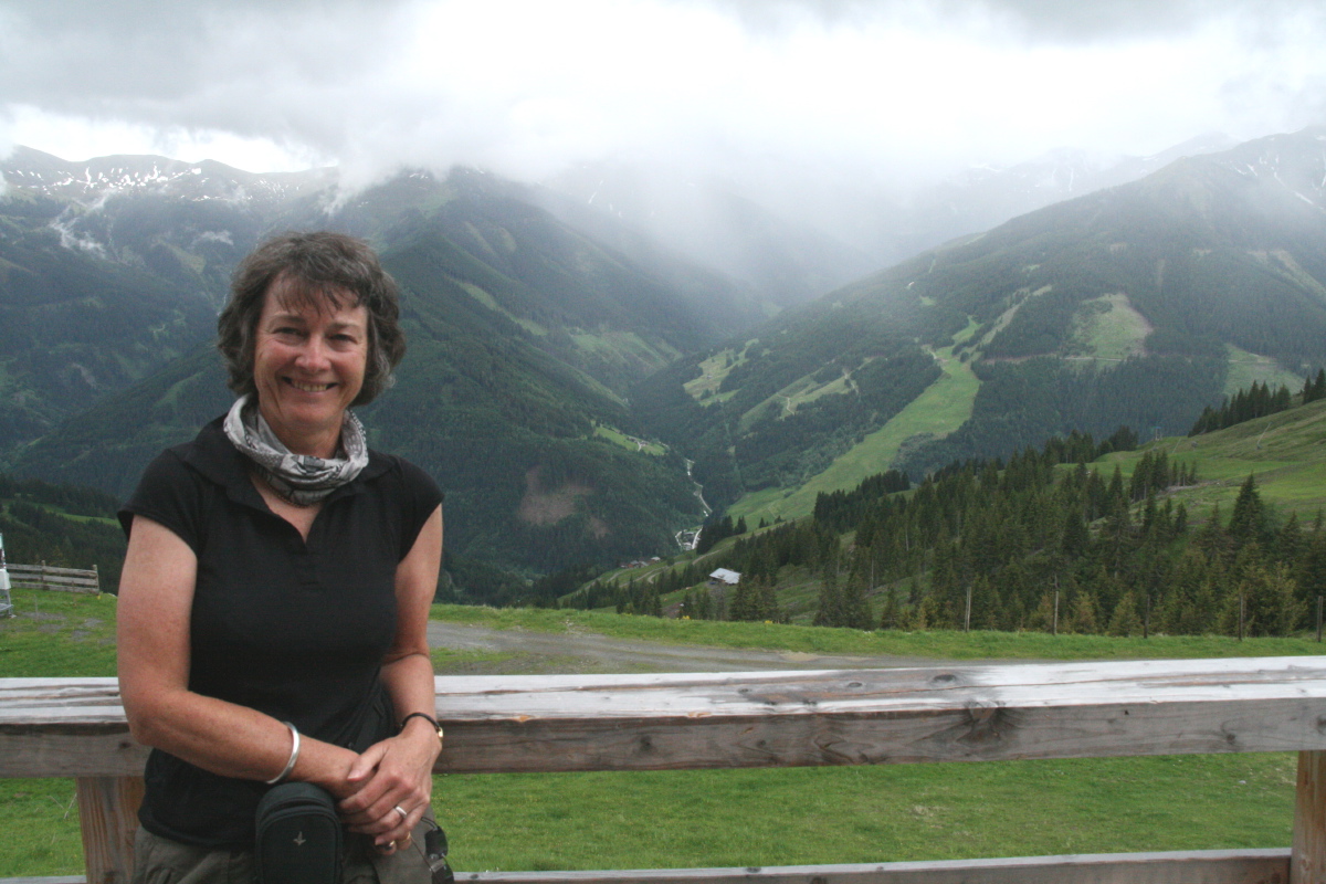
View south
across that valley ... |
... to the next day's walk,
with brave-faced walker |
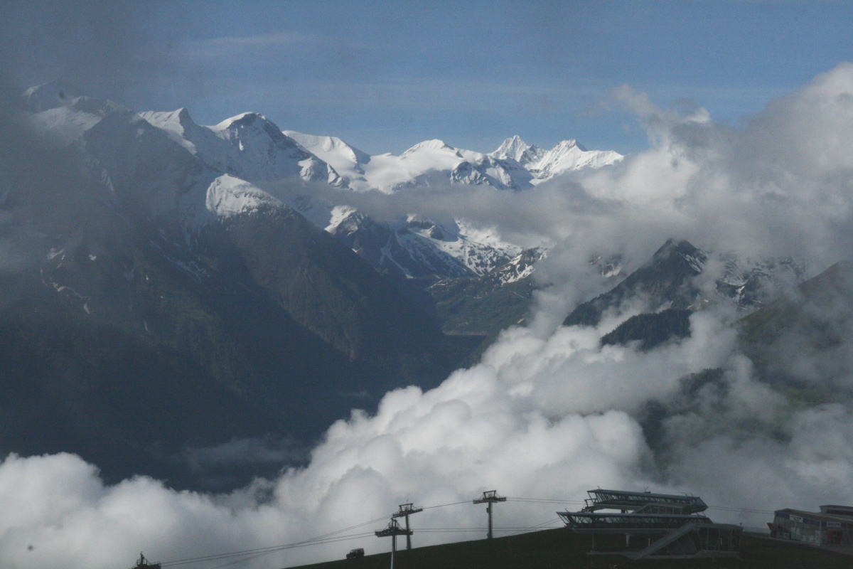
On the Schmittenhohe,
towards the Grossglockner |
|
|
|
|
Path down northwards
into the Saalbachtal |
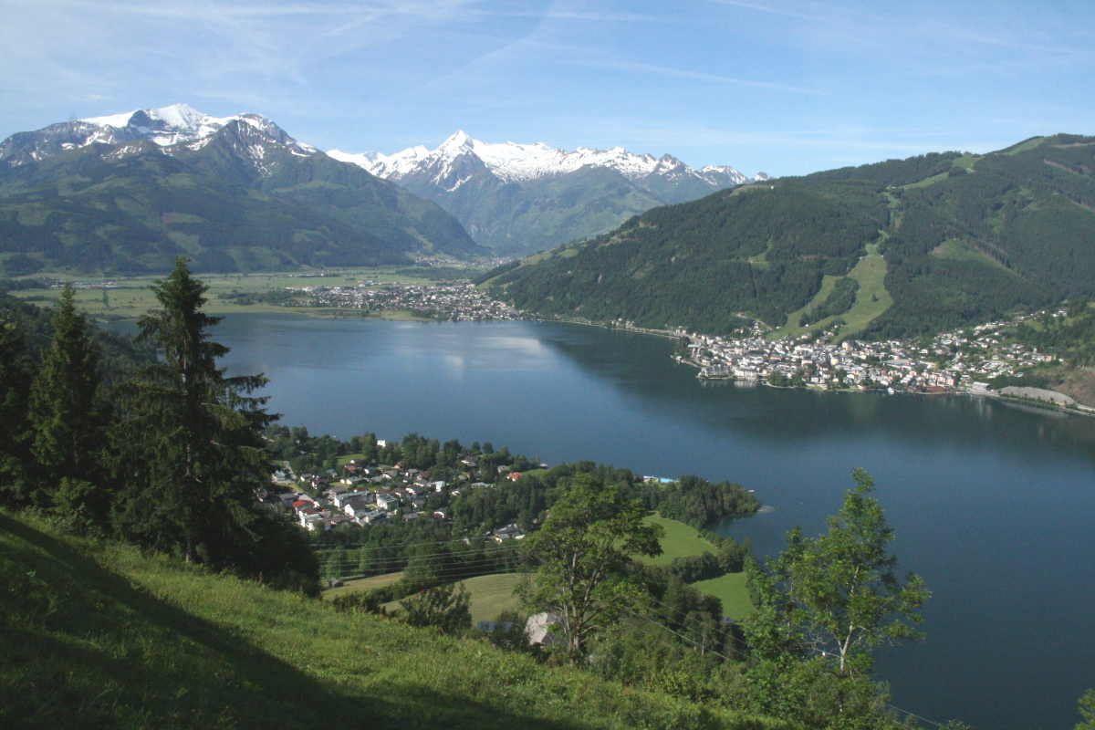
Mitternberg, last day,
best walk, best weather ... |
... Zell across the See ... |
... with Fam. Hofer |
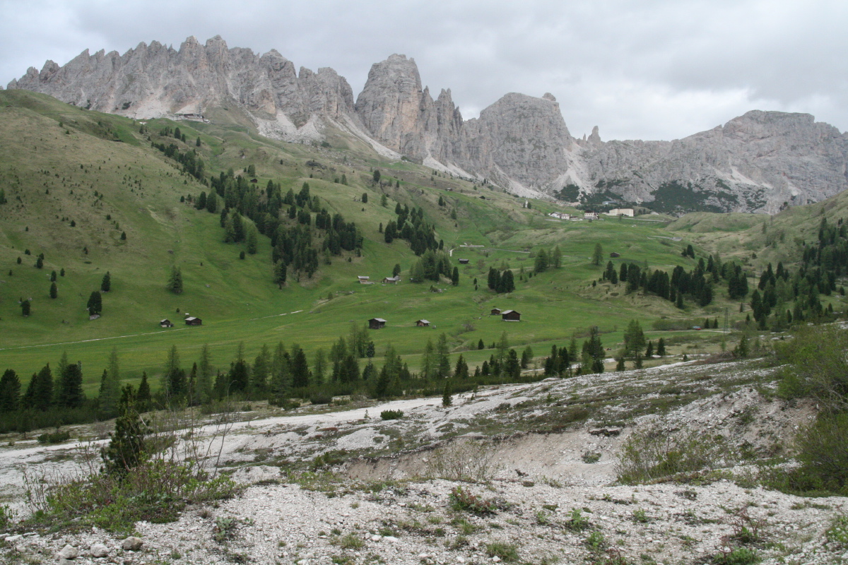
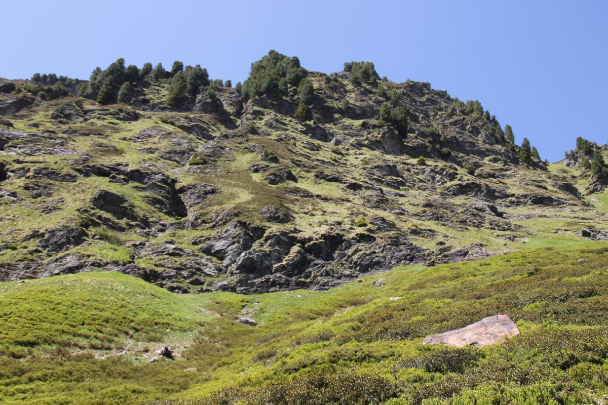
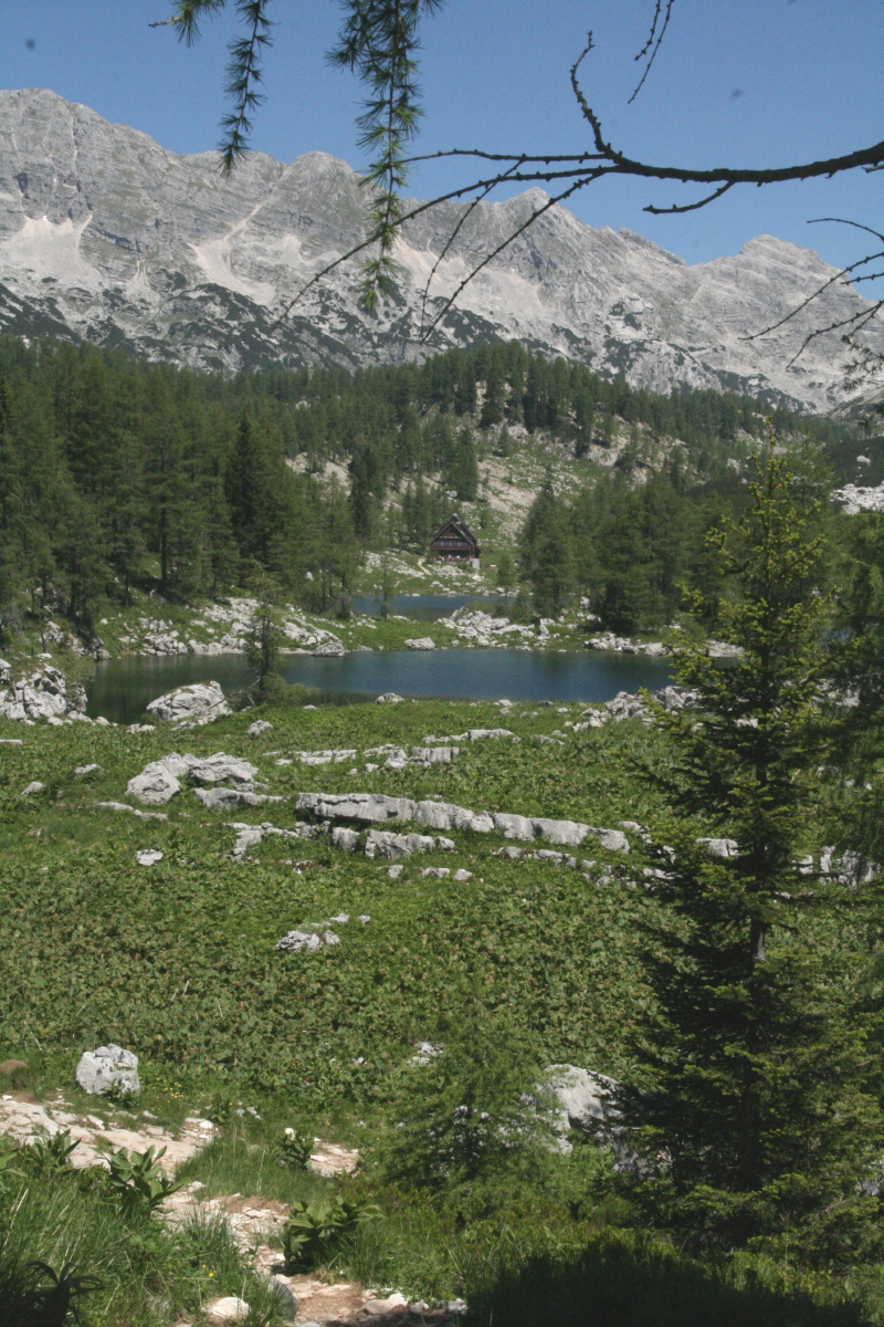
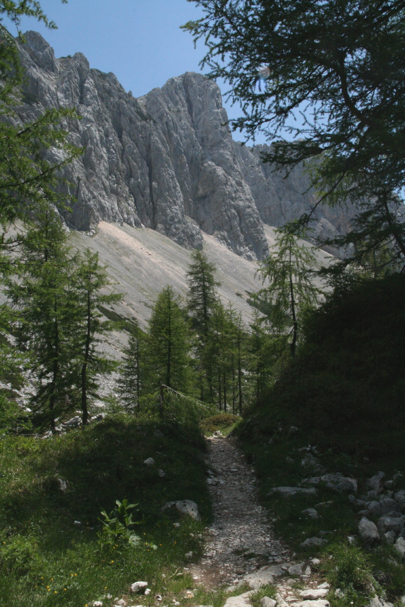
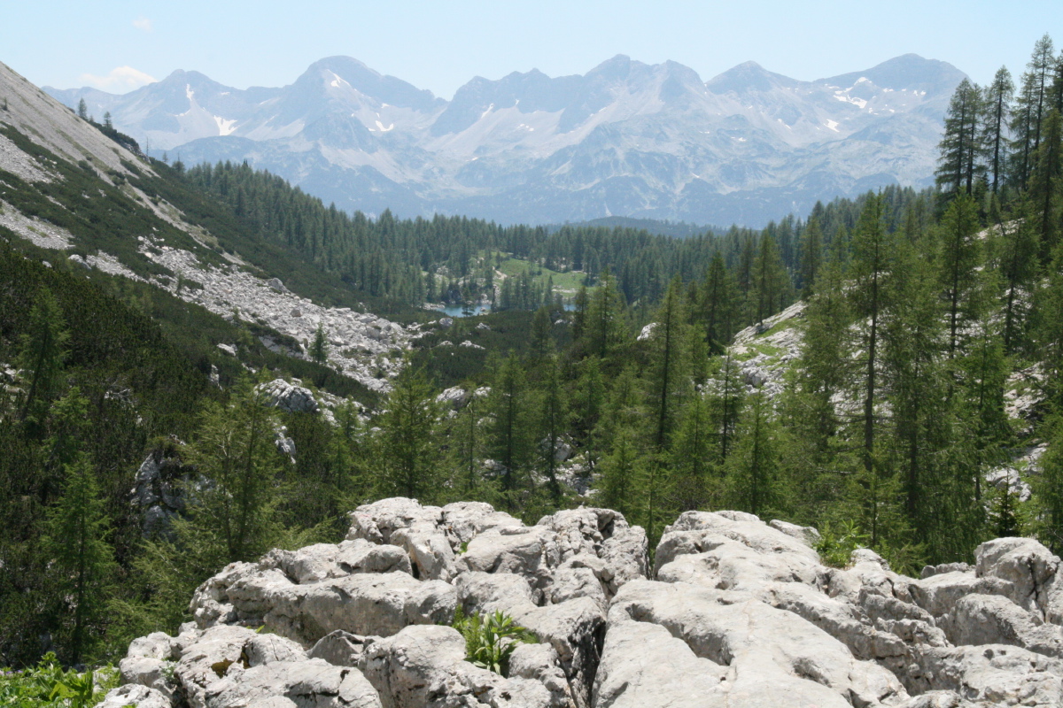
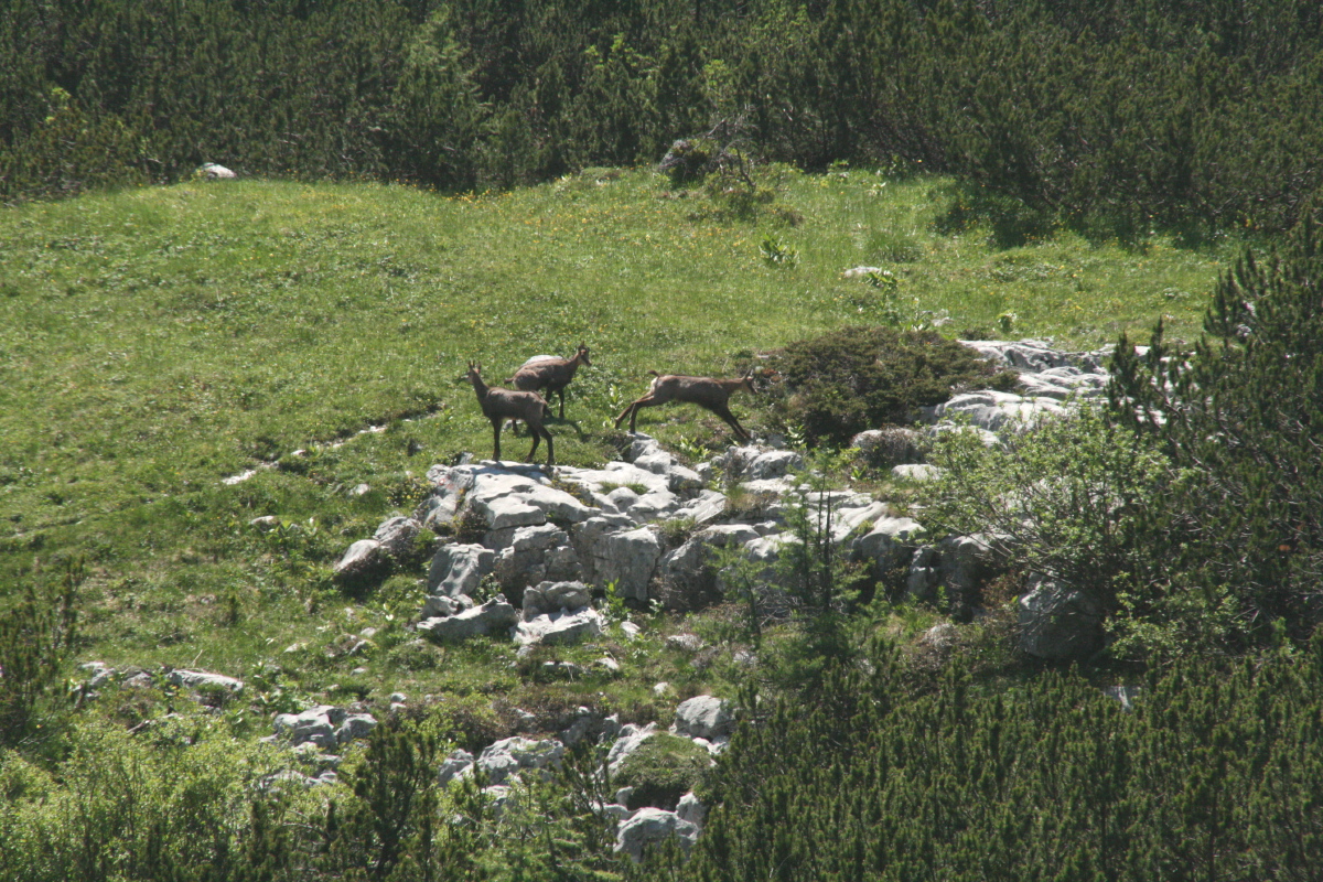
Triglav Region – 3rd week of June
Another of our favourite places is the Julian Alps, beside Bled in NW Slovenia.
Linda did yet another walk while Roger was at his conference, in wilderness,
with hardly another soul on the track. The Triglav Lakes walk begins at the
end of Lake Bohinj, climbs a face, then follows up a stark valley that curves
N and NW towards Triglav.
|
|
|
|
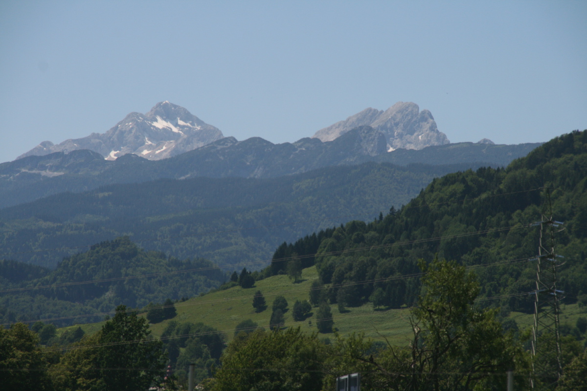
On the horizon, from the left
Male Triglav and Triglav (2850m),
then Rjavina (2532m).
The ridge in the foreground
ends in Debela Pec (2000m) |
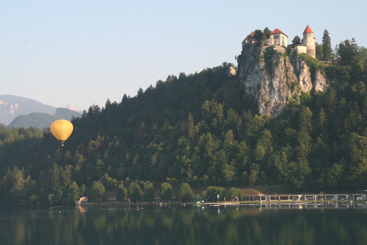
An average morning outside
the Toplice Hotel window |
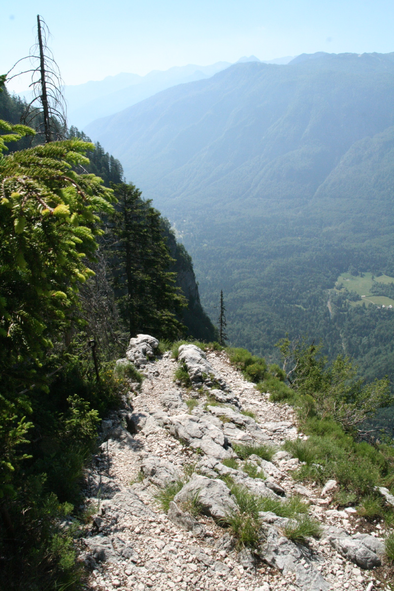
Looking back down the
vertiginous cliff up
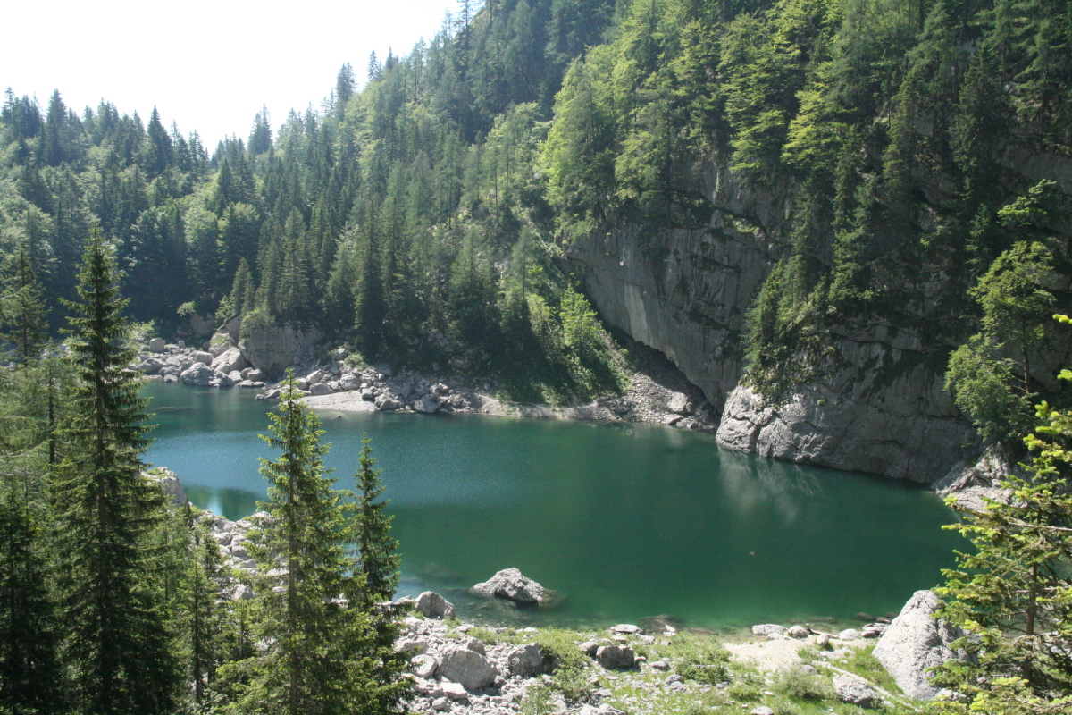
from Lake Bohinj |
Black Lake,
soon afterwards |
|
|
|
|
Hut beside one
of the Triglav Lakes |
Further on, looking
north towards the Lakes |
... and looking back south
across Bohinj to Mt Vogel |
Not-so-shy chamois,
'playing silly games' |
This is a page within the Clarke-Spinaze Photo Gallery, home-page here
Contact: Linda or Roger
Created: 14 July 2013; Last Amended: 14 July 2013