Mountain Walks – 2015
Click on any image to see a larger version
We squeezed in 2 day-walks and 2 short walks between presentations in Melbourne
and Hobart.
Russell Falls and Big Trees Short Walks:
|
|
|
|
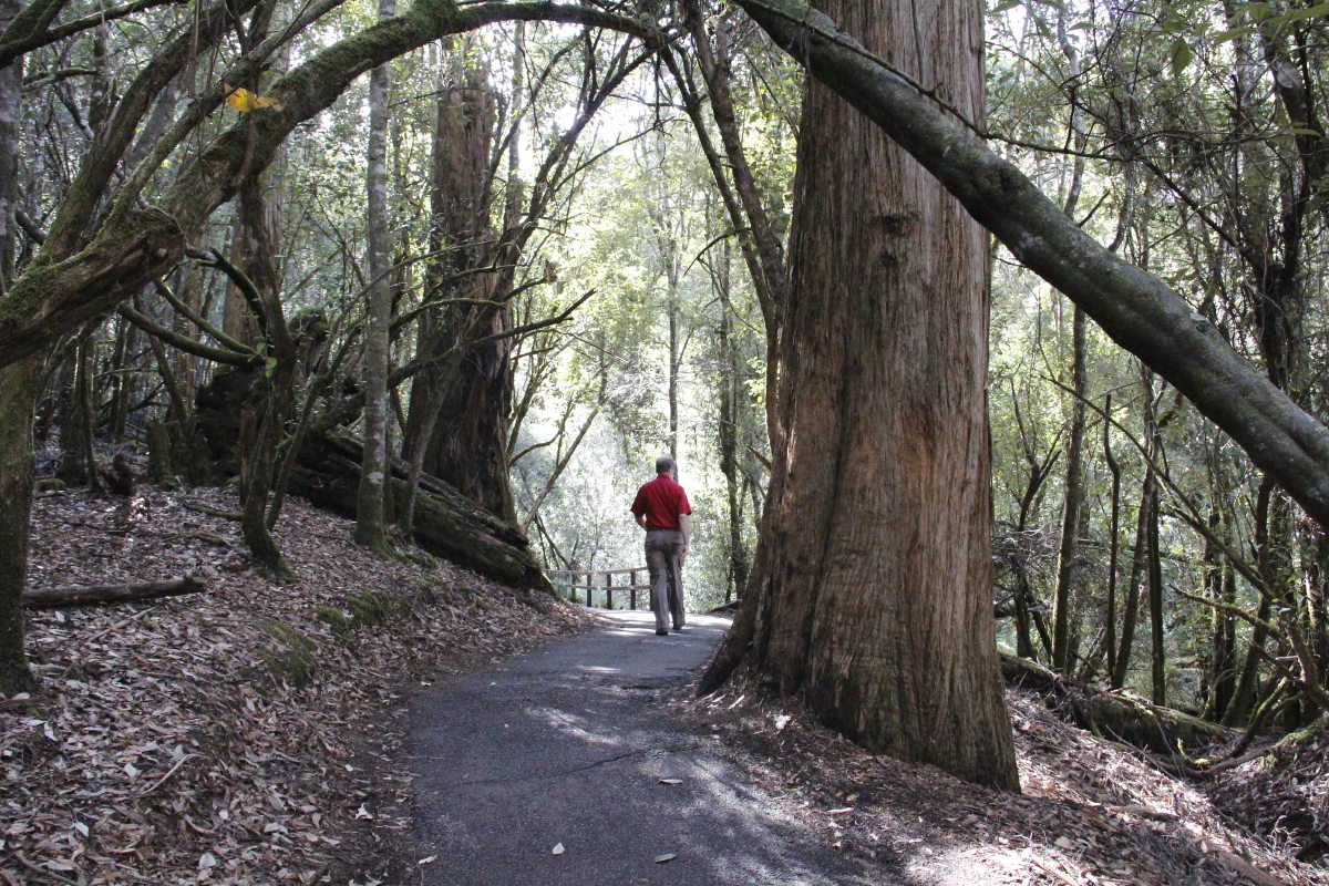
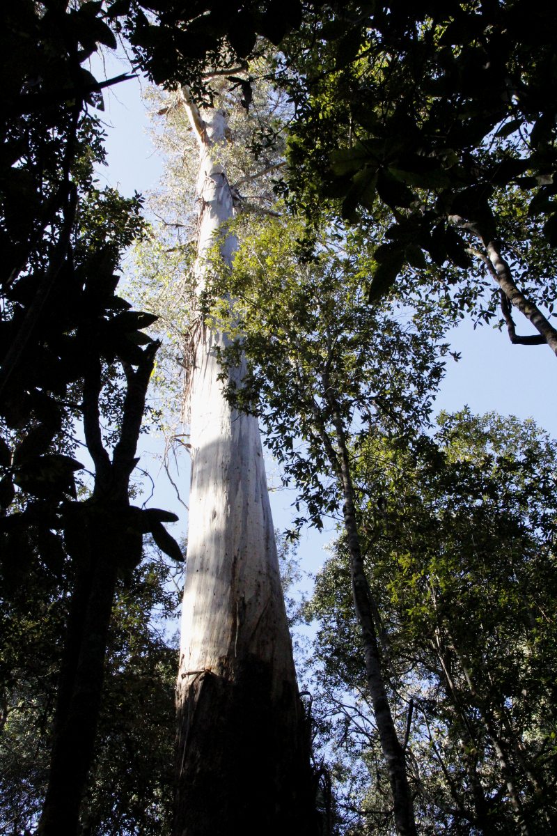
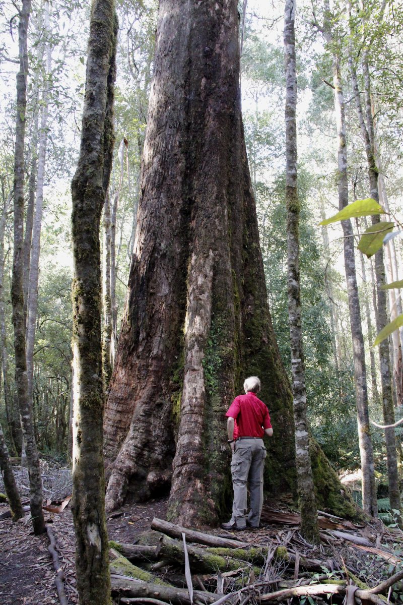
Amidst the Swamp Gums ... |
... Euc. regnans,
very tall ... |
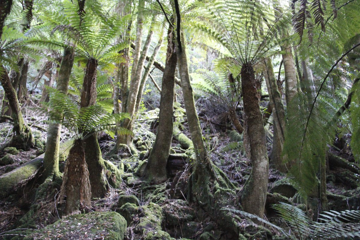
... rainforest-like,
buttressed ... |
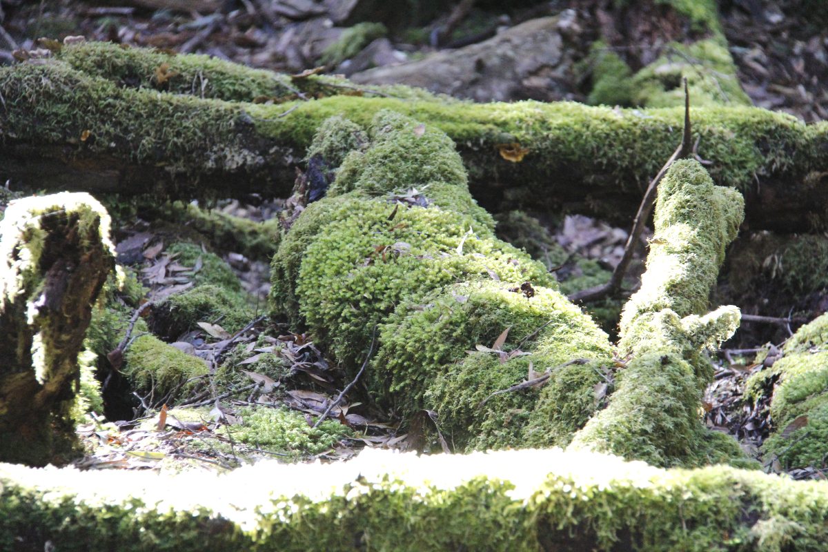
... and be-mossed |
|
|
|
|
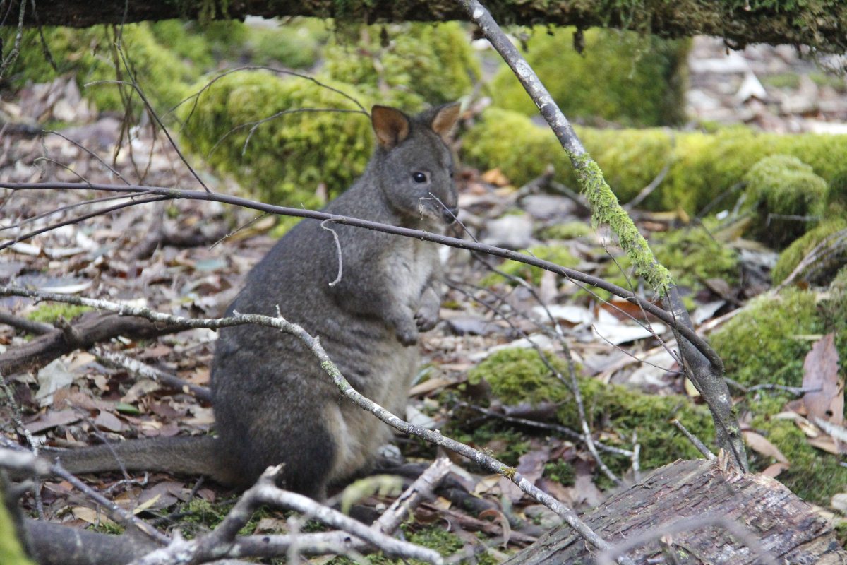
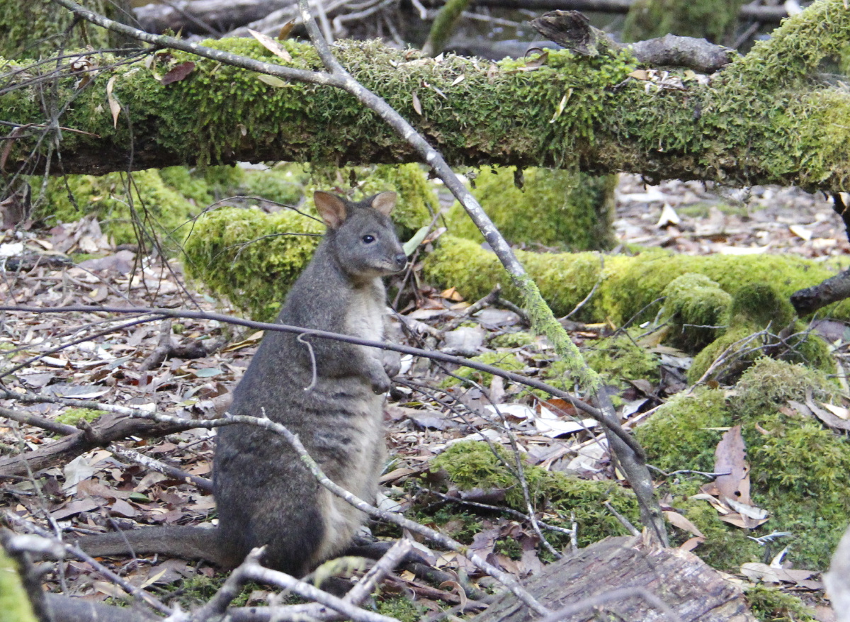
With garden gnomes,
well, pademelons ... |
... so-called because
they're melons with feet |
Dicksonia antarctica |
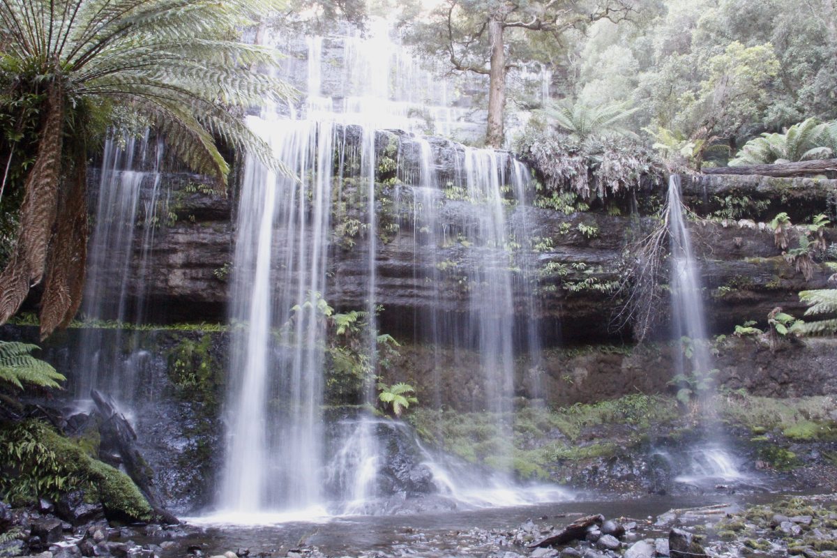
Russell Falls |
|
|
|
|
Why they called
them man-ferns |
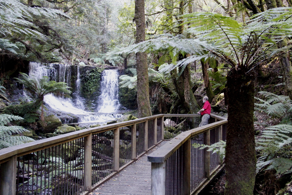
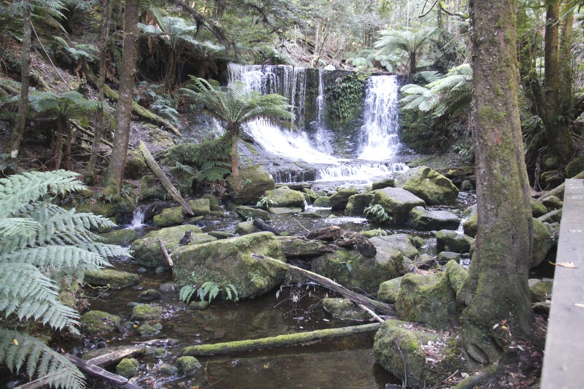
Horseshoe Falls |
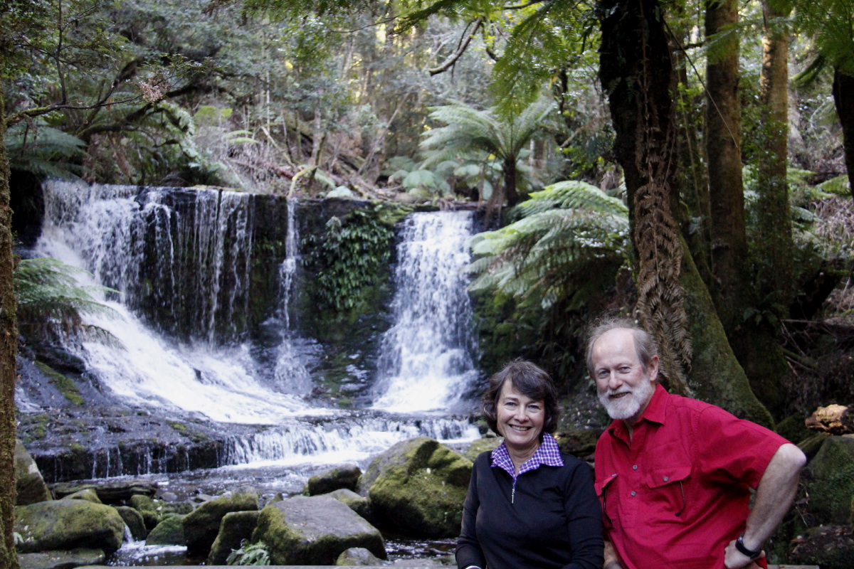
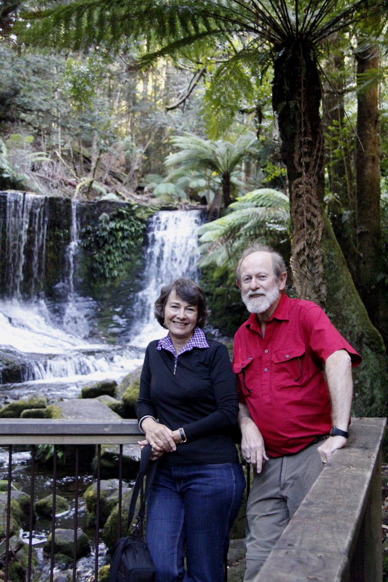
Always offer to
take a photo ... |
... for the nice couple
who are there
at the same time |
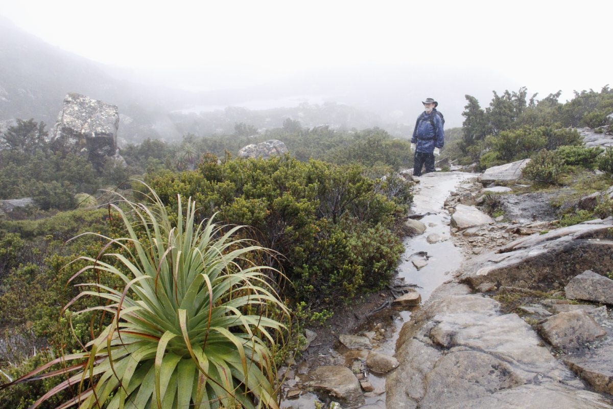
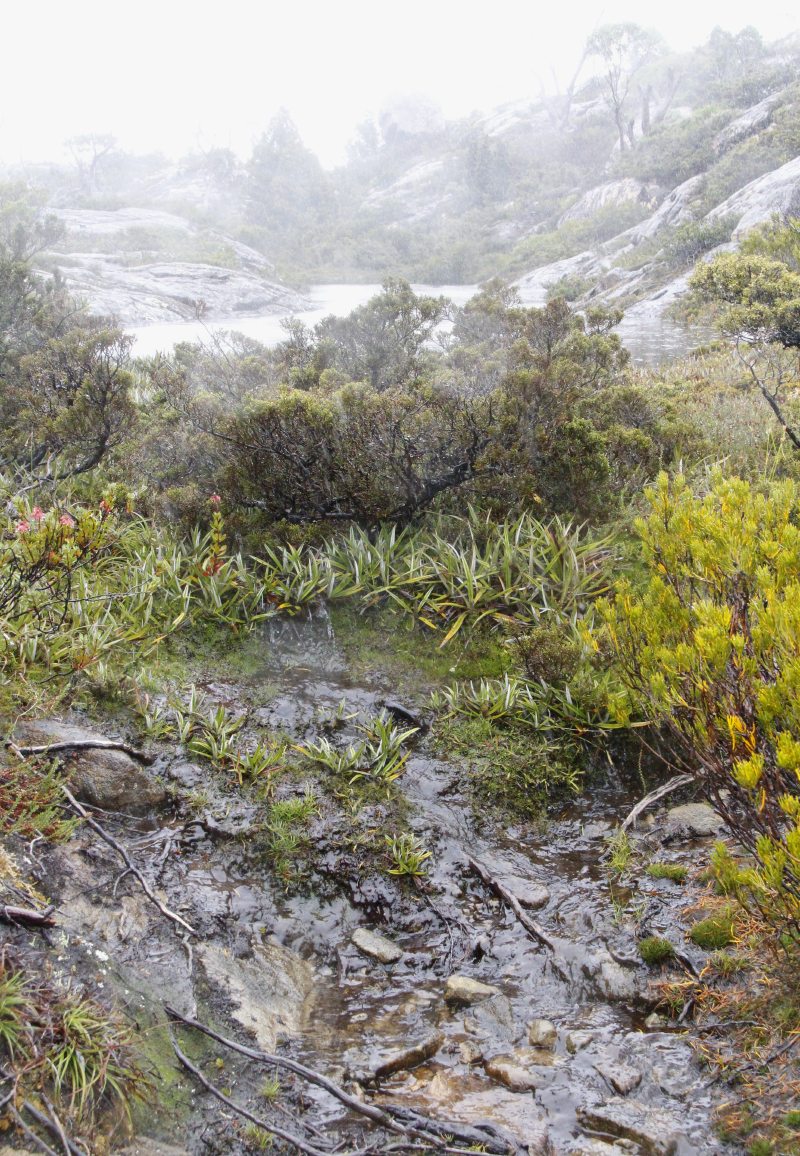
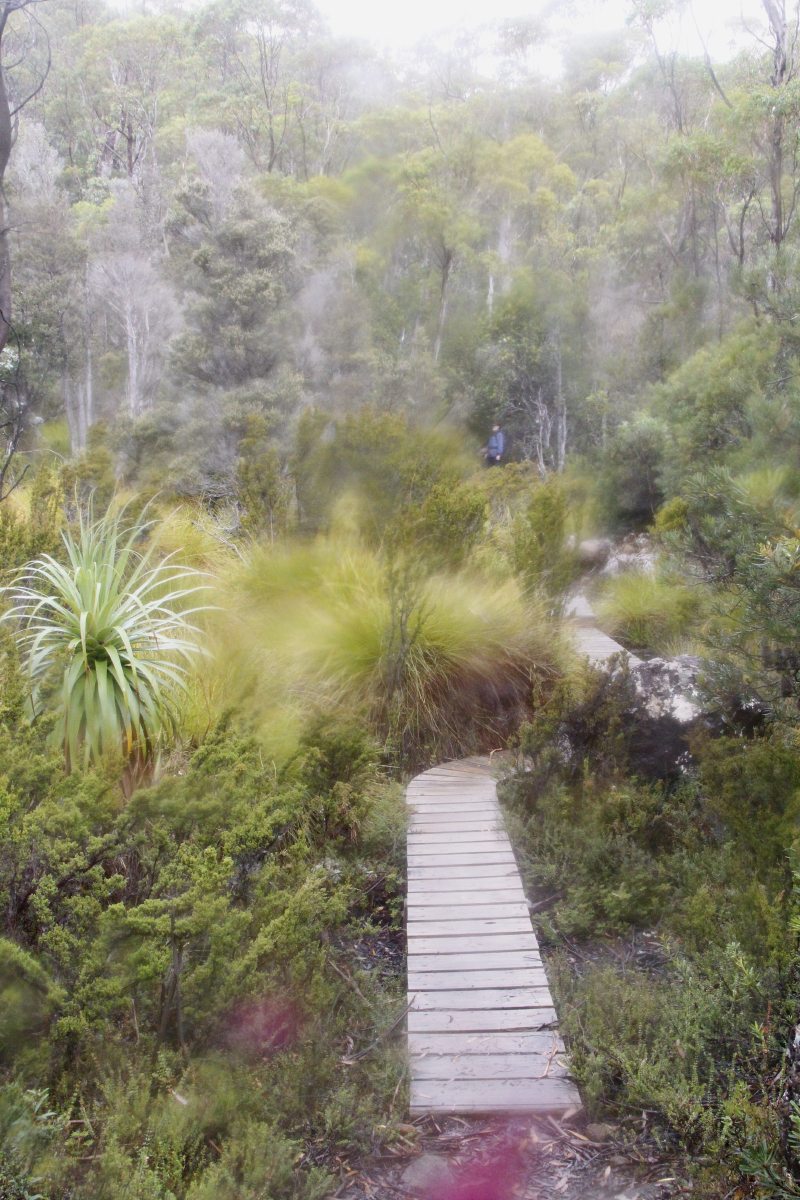
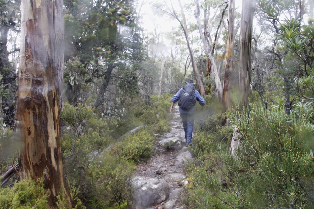
Tarn Shelf
This is the best of the three day-walks within the Park. Here's someone else's notes and map.
He says "15.3 kms and 582 metres". Another source erroneously (and
somewhat dangerously) said 12.3km. In the very wet, very windy, and 100m-visibility
conditions we had, my estimate was 600m and 18km. A great walk, even so.
|
|
|
|
Knights who say 'Yi!',
on the Urquhart Track ... |
... just above
Lake Dobson |
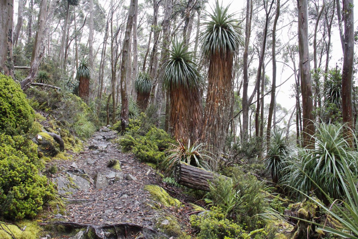
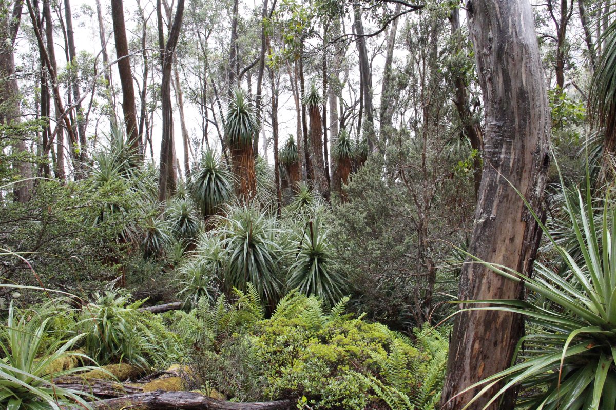
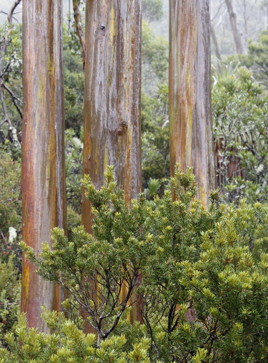
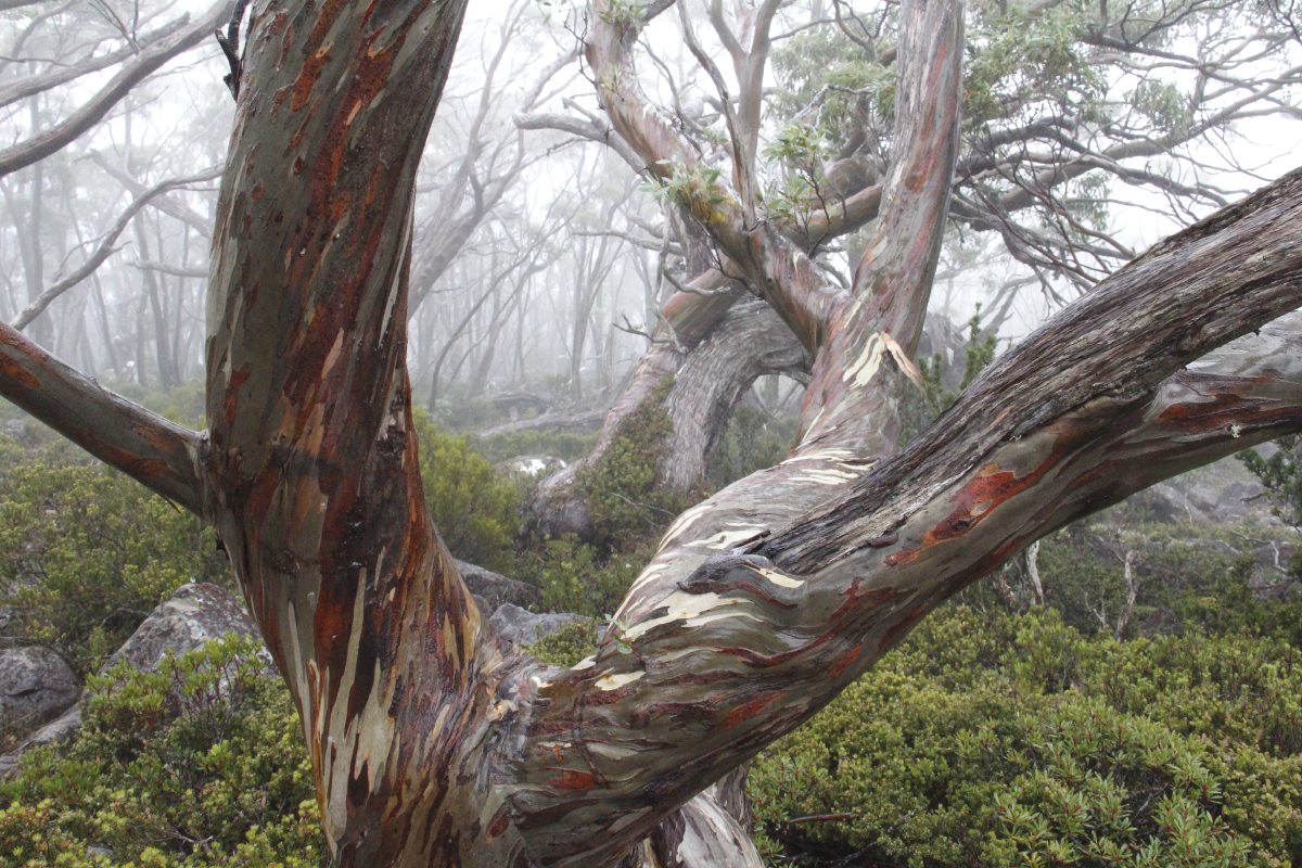
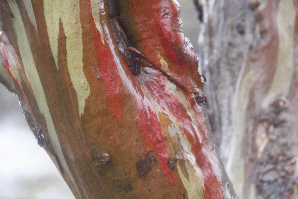
Trunks,
low-altitude
but which Euc.? |
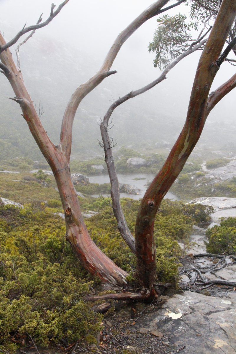
Trunks,
high-altitude
Euc. coccifera ... |
|
|
|
|
... aka Snow Gum
in Tasmania only |
Richea pandanifolia,
with a 'view' |
The Shelf, and 300m
drop to Lake Seal |
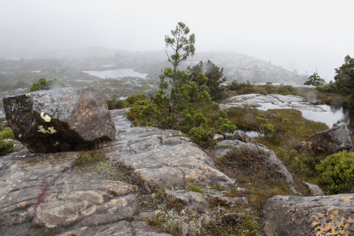
E. coccifera, at
1200m, amidst tarns |
|
|
|
|
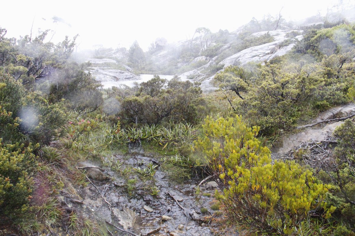
Windswept, wet,
low vegetation |
With emergent
autumn colours |
Brief respite, in the
lee of a low-lying tarn |
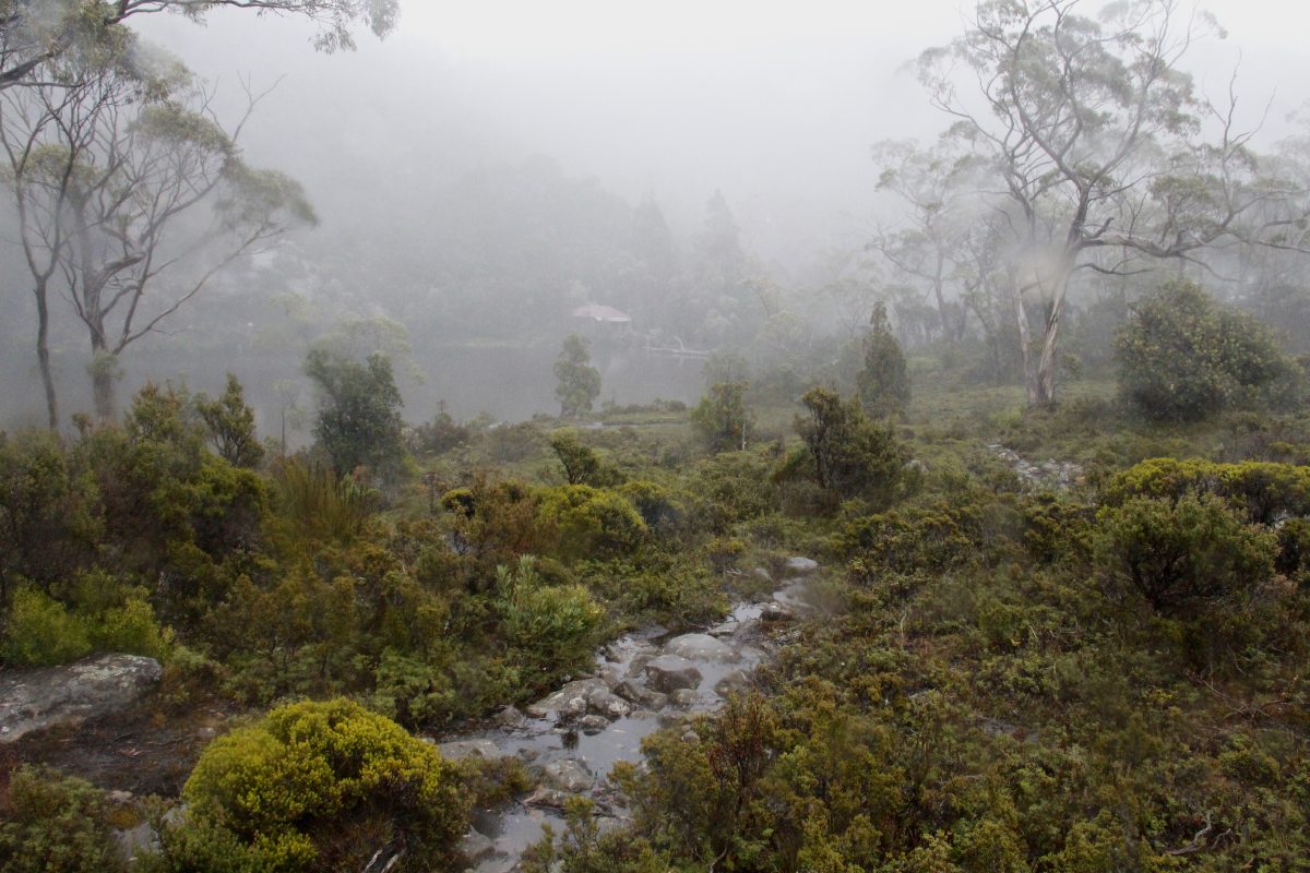
Lunch in the
Lake Newdegate hut |
|
|
|
|
Why they're called
'coccifera'/cochineal |
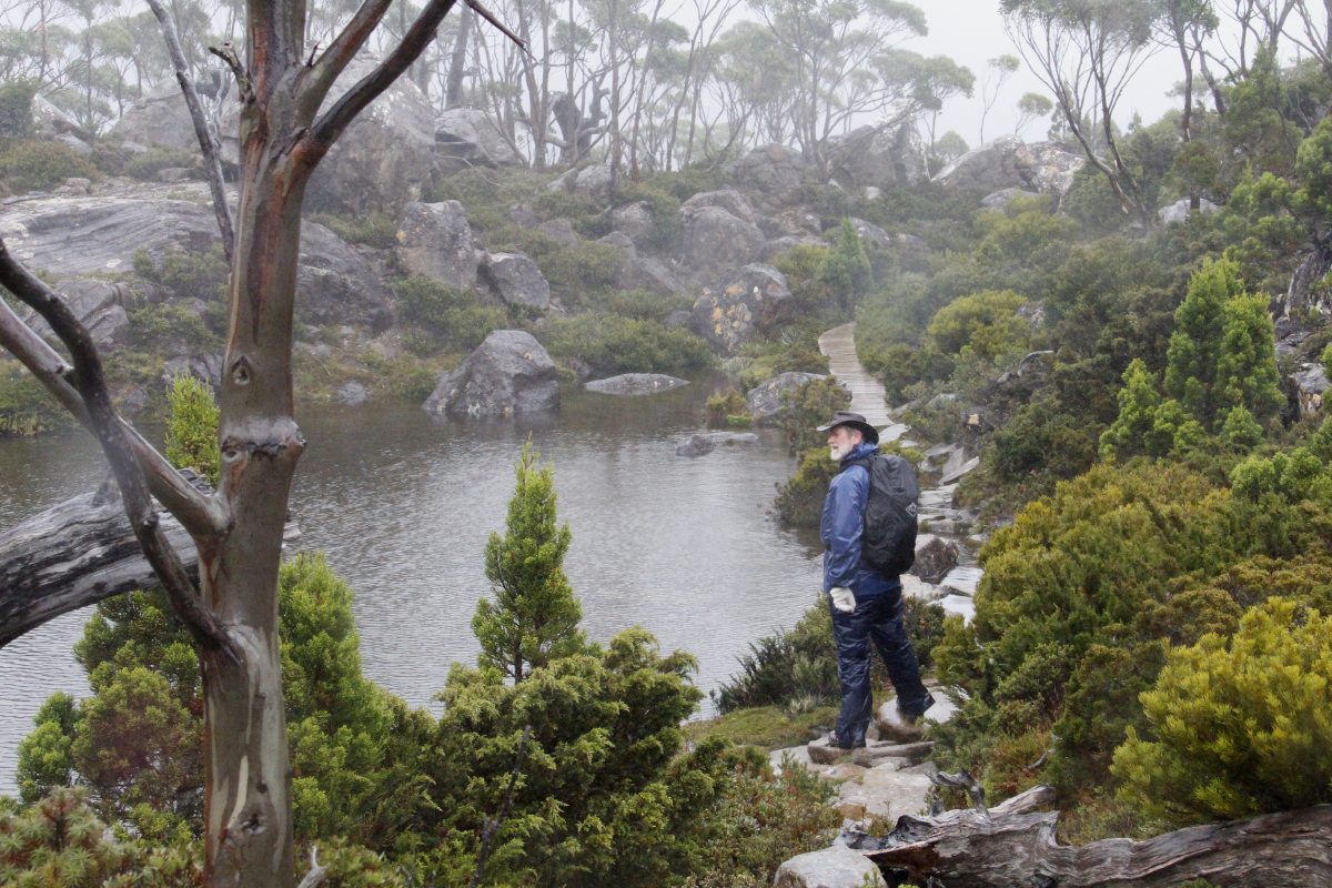
Twilight Tarn,
latish afternoon |
Unintended
Impressionism |
An easy part
of the track |
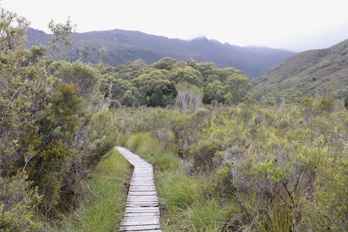
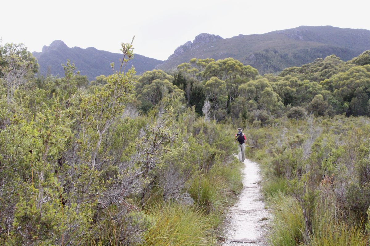
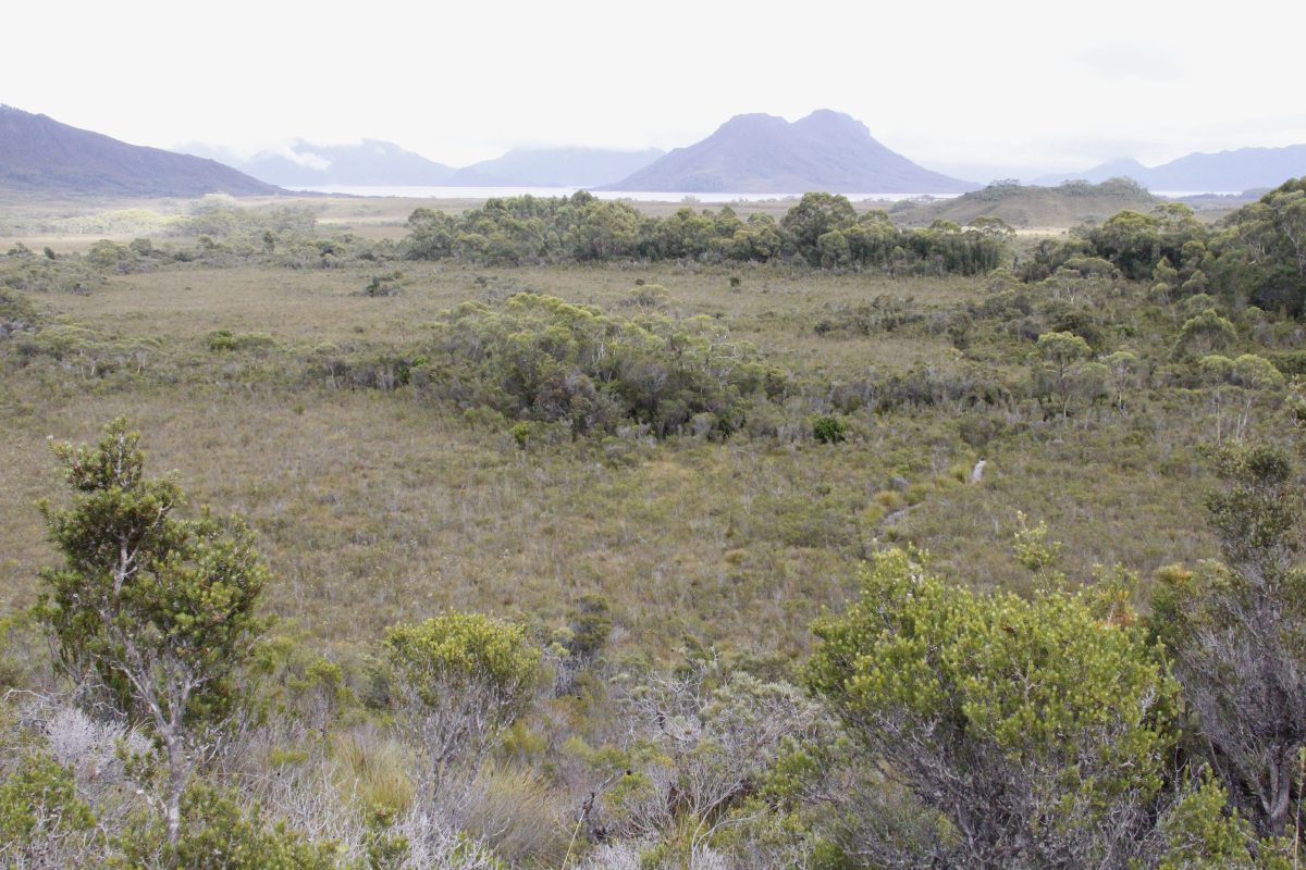
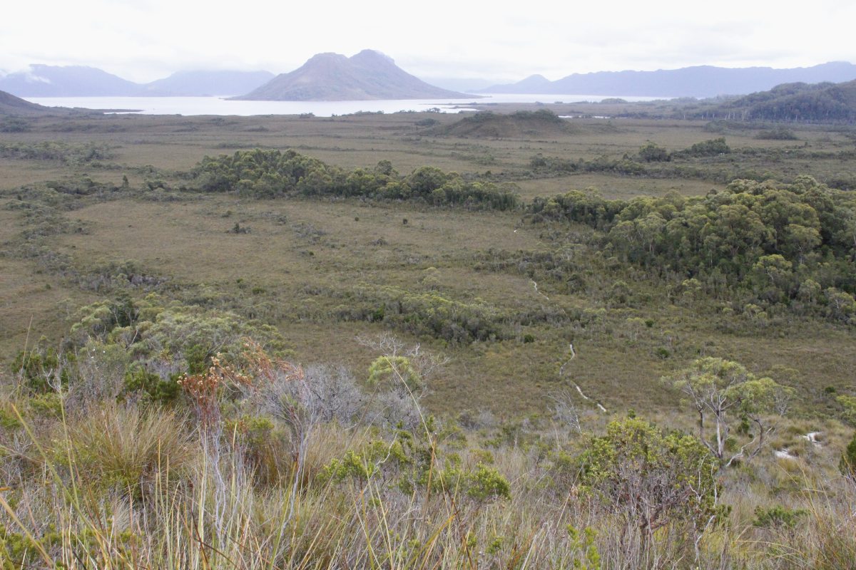
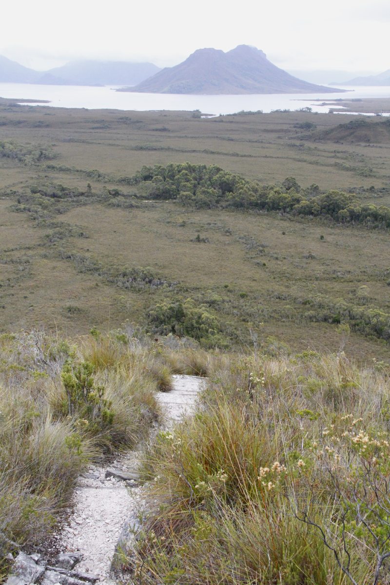
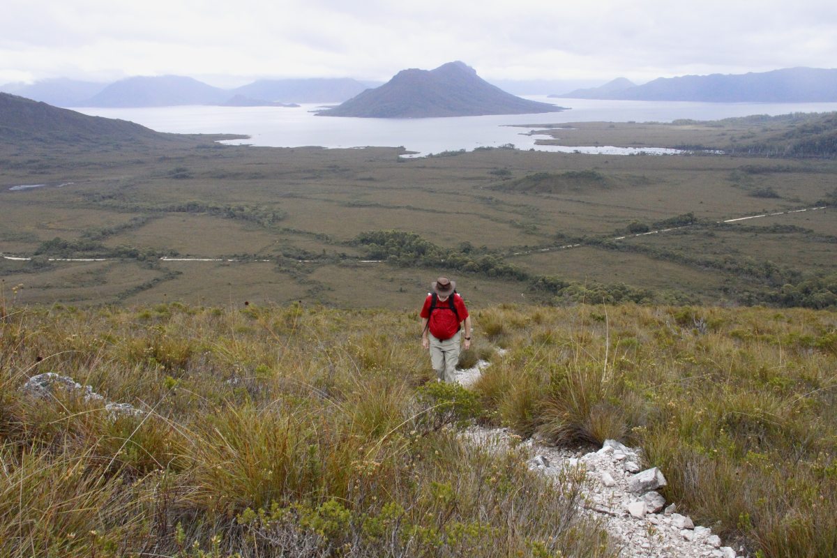
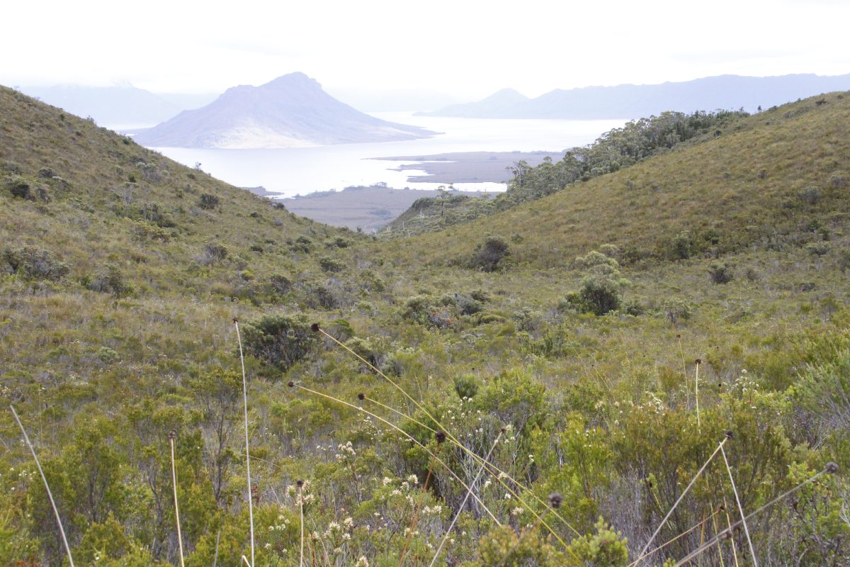
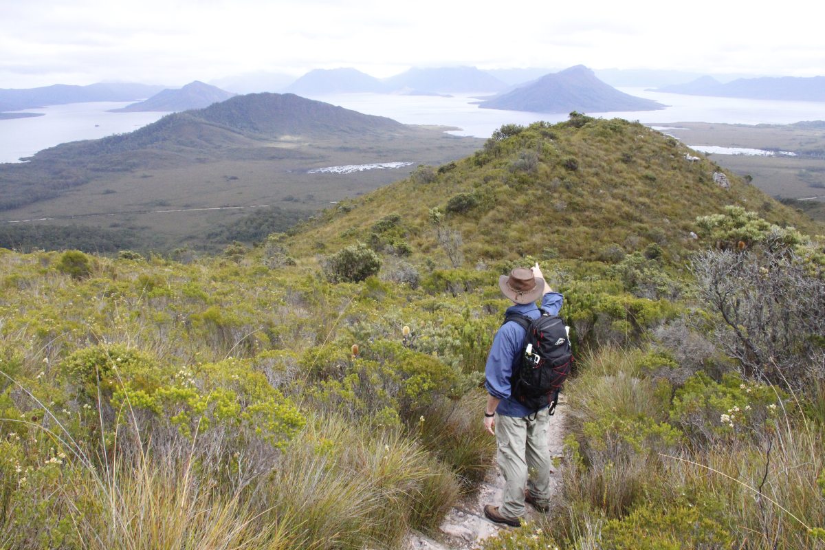
Mt Eliza (50km SW)
A good unsealed road leads out to two of the dams that enabled the flooding
of the original Lake Pedder.
Mt Eliza is a shorter walk and somewhat lower than Mt Ann behind it. About
750m to the hut or 950m to Mt Eliza itself, but a very direct walk, and hence
relatively short and a little lung-and-leg-bursting.
|
|
|
|
Starting out |
The first leg is the
hill on the right |
First view back ... |
... over the (enlarged)
Lake Pedder |
|
|
|
|
Driving on up
the very direct path |
Nearing the top
of the first leg |
On the second leg,
with Button-Grass |
The best third of
the panorama |
|
|
|
|
View from the hut,
200m below the peak,
100m below the cloud |
|
|
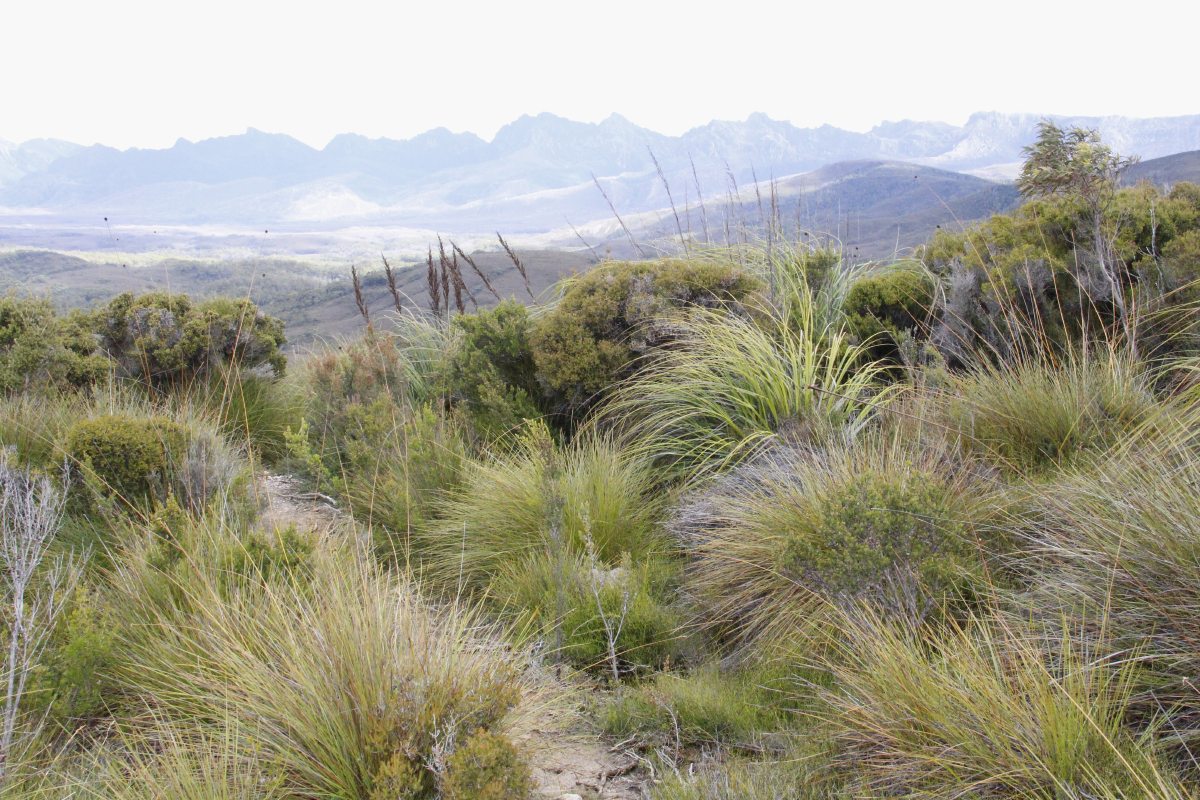
Another 25km West,
showing some of the Arthurs |
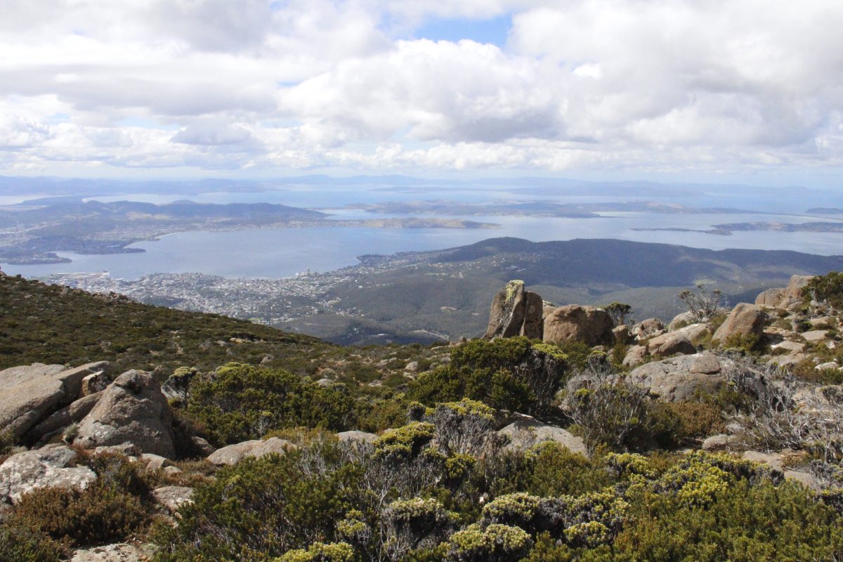
Mt Wellington
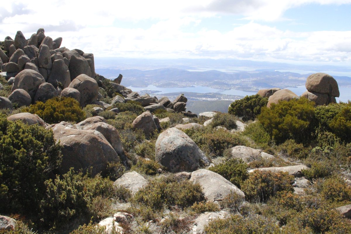
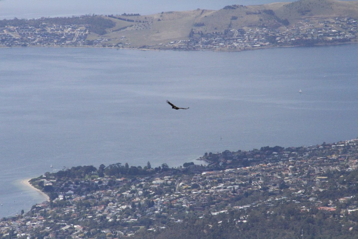
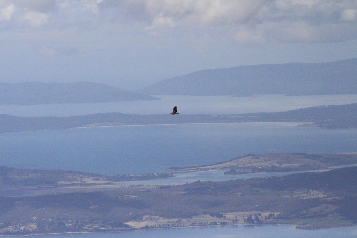
A short walk on the peak above Hobart.
|
|
|
|
South-east over
peninsulas and islands |
Amidst dolerite
boulders |
With an effortlessly
soaring ... |
Wedgetailed Eagle
for company |
This is a page within the Clarke-Spinaze Photo Gallery, home-page here
Contact: Linda or Roger
Created: 15 March 2015; Last Amended: 16 March 2015


.jpg)