Mountain Walks – 2015
About 18 walks scattered across 7 weeks.
They only totalled about 11km.
But then that was vertical, and both up and down.
And they
included 3 of a bit more than 1000m, and another 7 of over 700m.
About 210km in distance.
Click on any image to see a larger version
Germany – Early-Mid May 2015
Roger spent a busy 6 days in central Germany, incl. 250m up the Wilhelmshöhe
on the outskirts of Kassel.
He then fitted in a half-day
up the
Brocken. It was a brisk 3.5km each way / 500m walk up from Schierke.
|
|
|
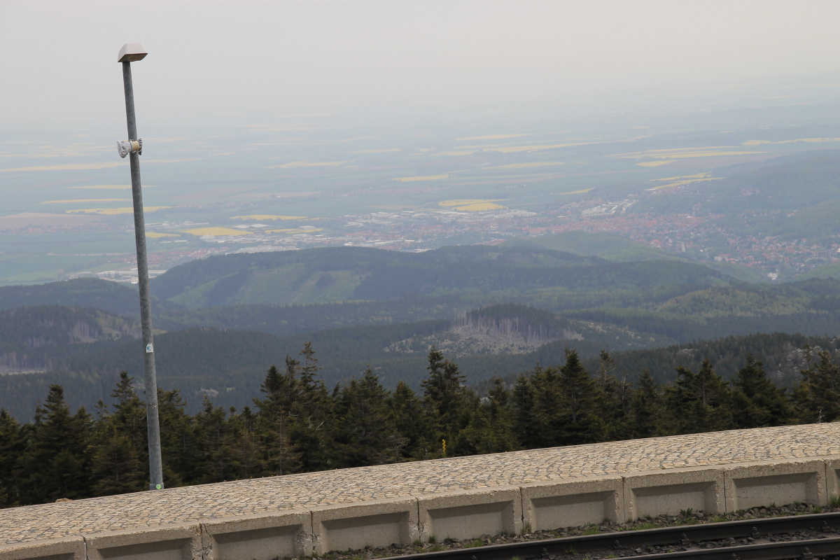
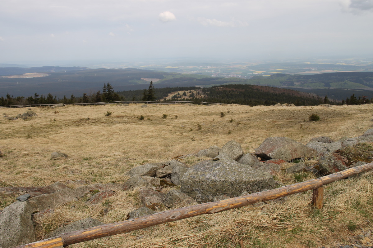
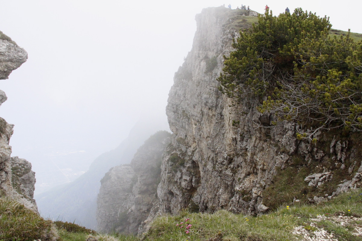
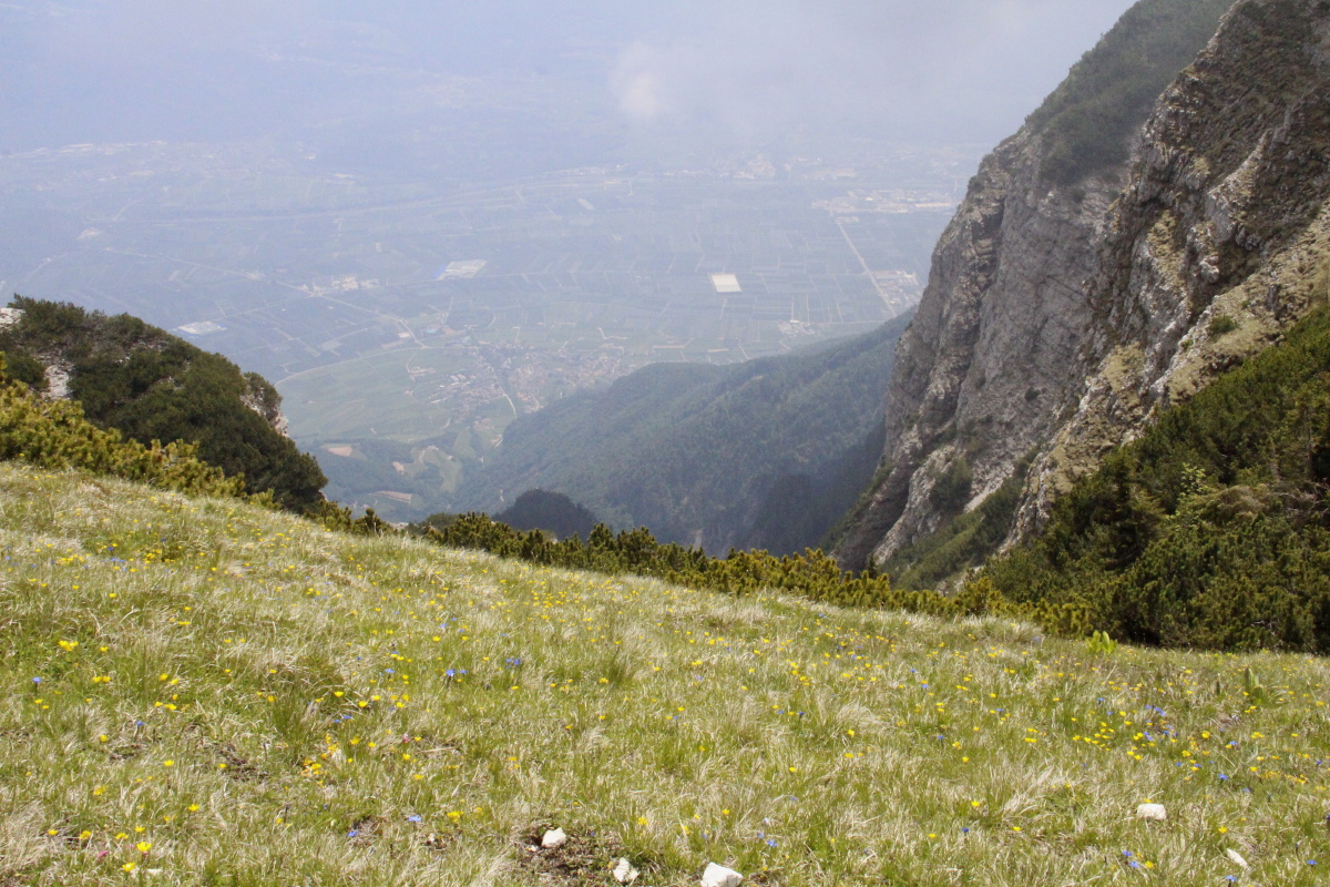
The Brocken is at 1140m,
high above a plain |
And sub-alpine at the top, because of the latitude
(51°
–, i.e. nearer Macquarie Island than Tassie) |
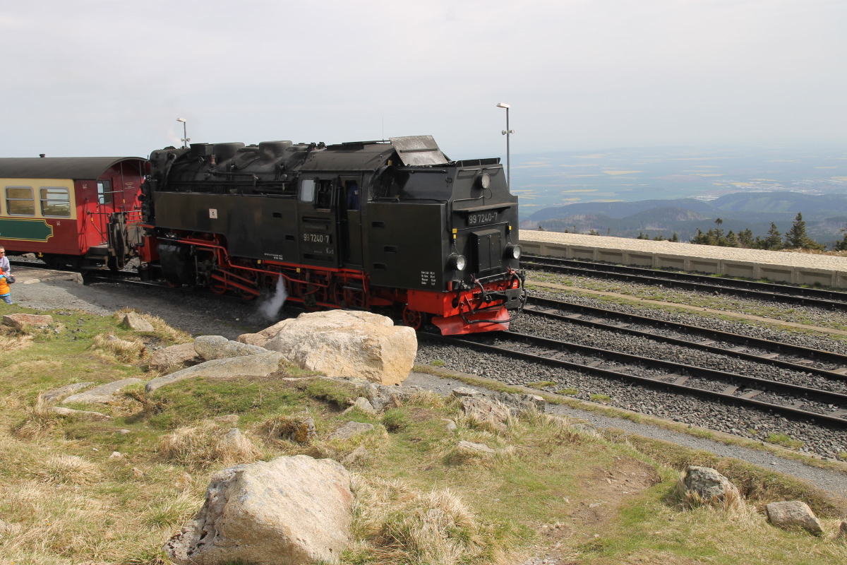
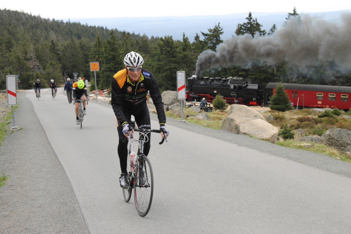
A train runs to the top |
|
|
|
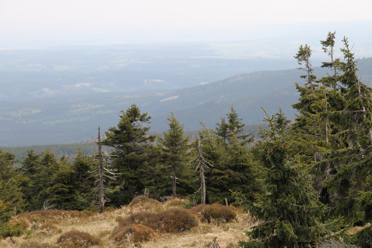
The forest is mixed below,
firs above |
The trains swoop around
walkers and cyclists |
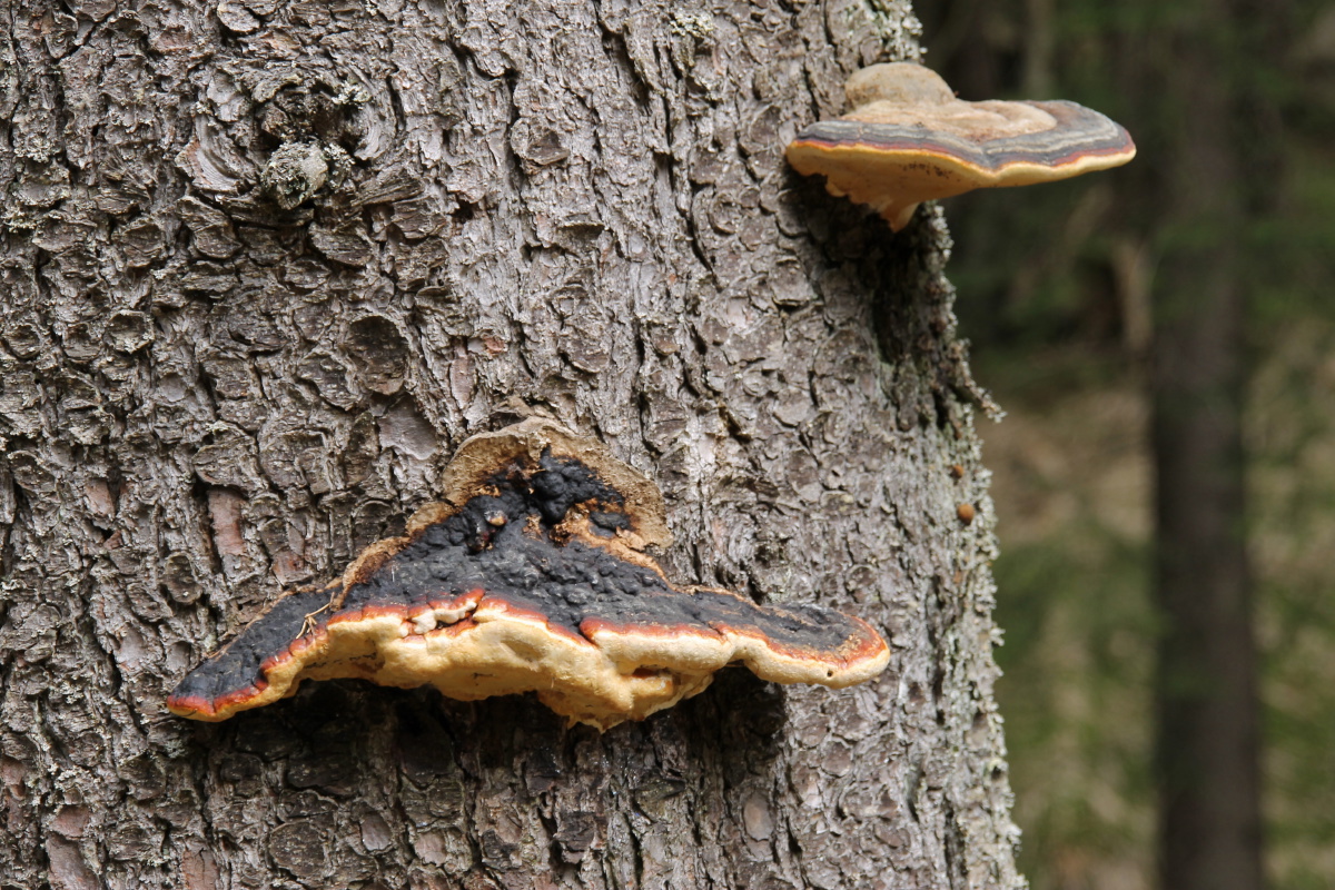
There's a modest amount
of plant interest |
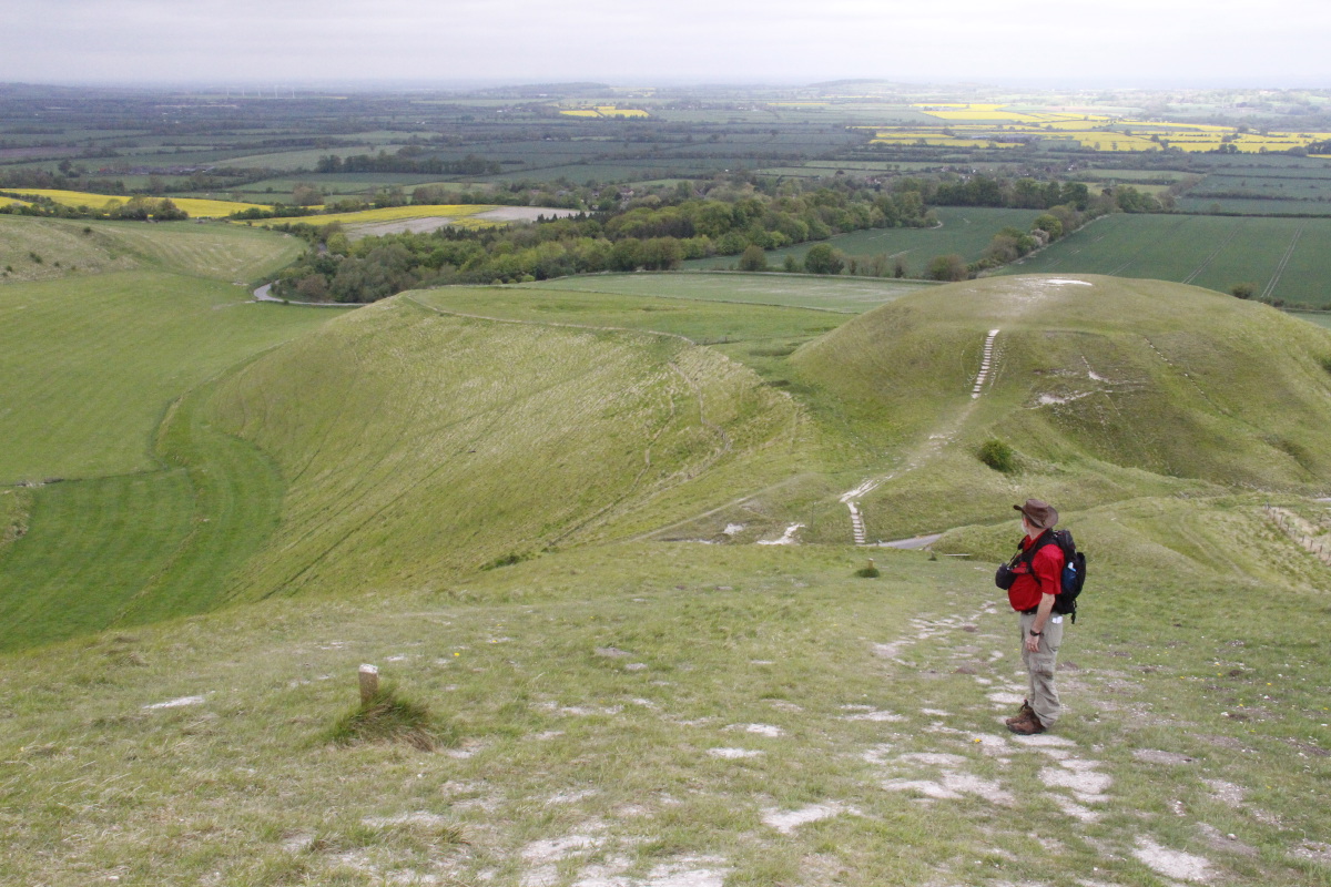
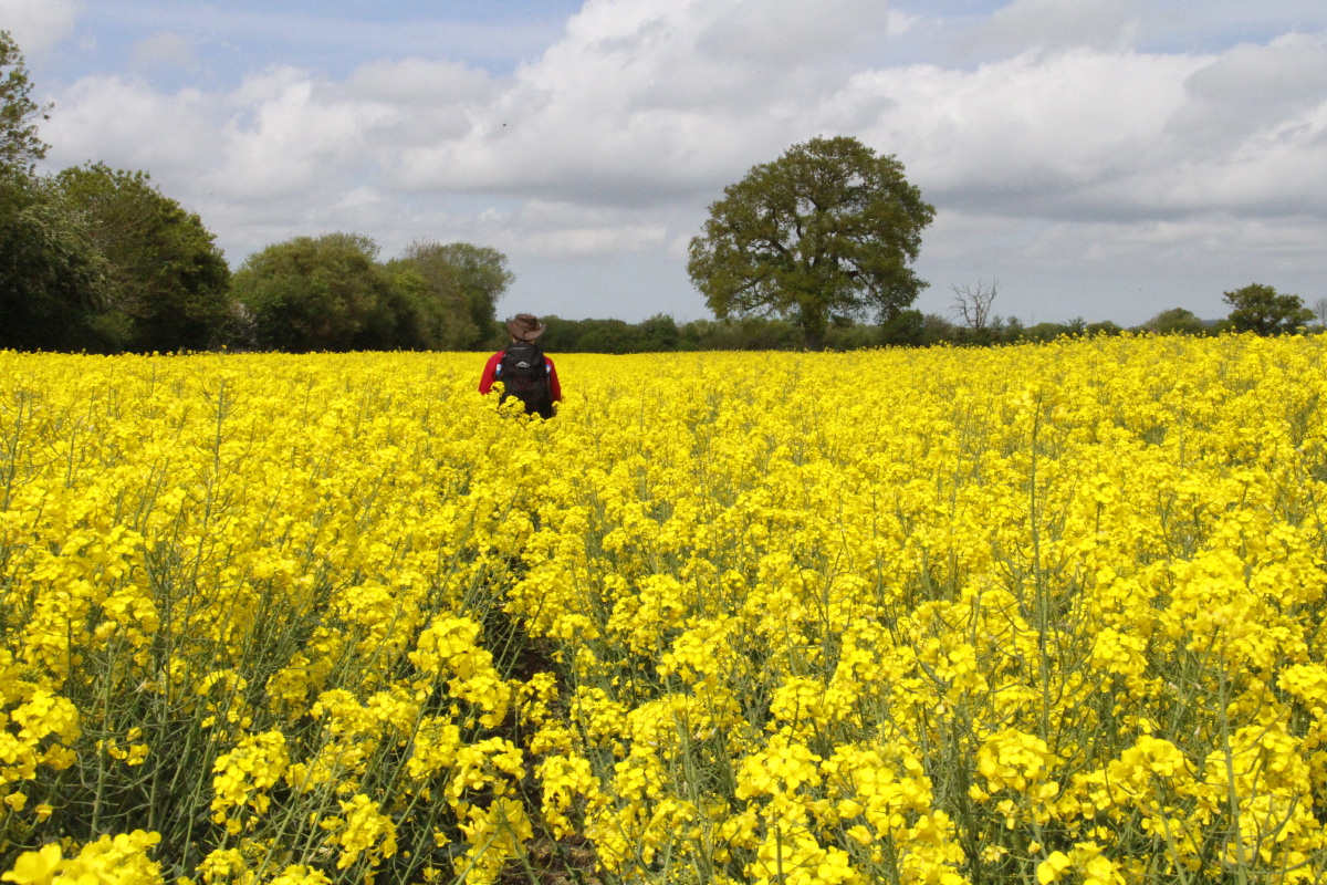
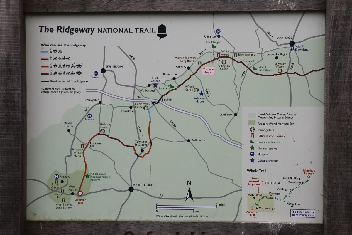
The Ridgeway – Early-Mid May 2015
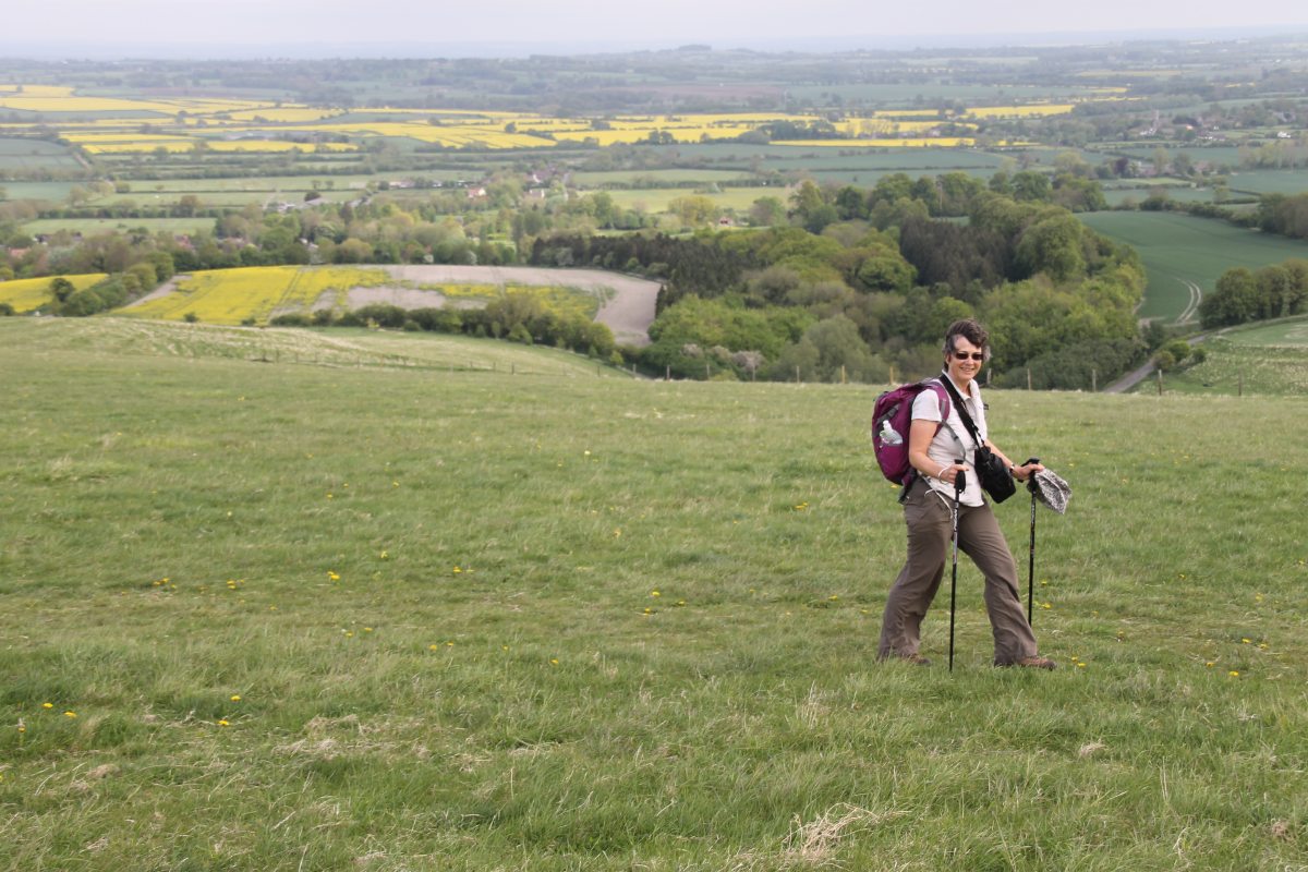
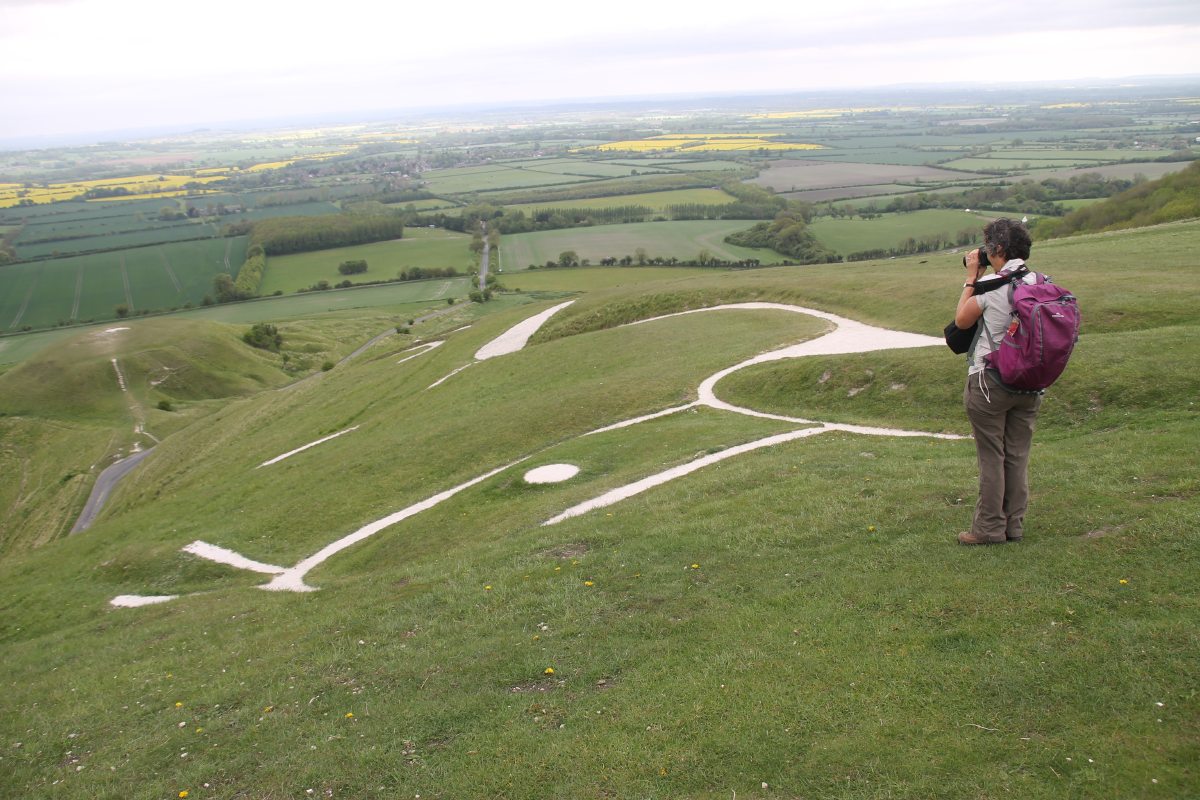
On Linda's first full day after arrival in Europe, we did a gentle warm-up on a white horse.
|
|
|
|
Ascending the Ridge
from Woolstone |
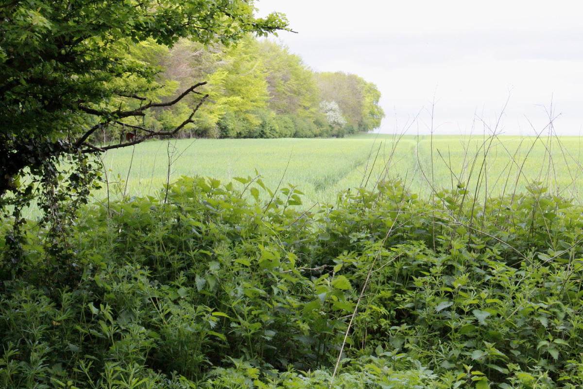
The Ridgeway runs along
the chalky Chilterns |
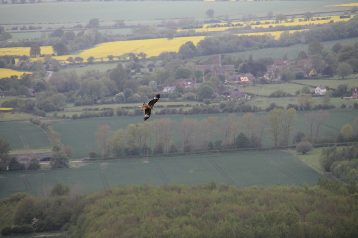
The views to the north
can include red kites |
And the fields are
limestone-pretty |
|
|
|
|
The Woolstone White Horse
is the only ancient one |
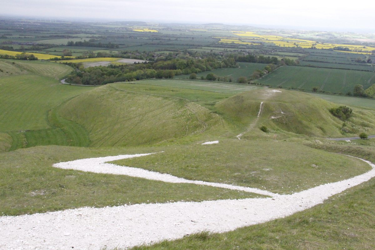
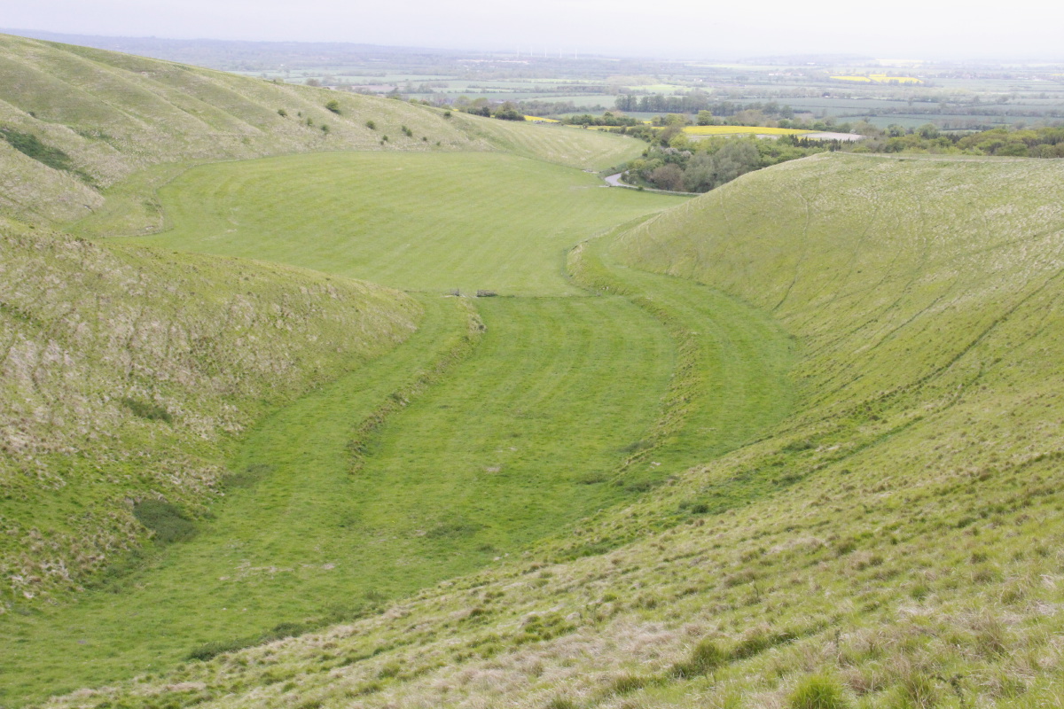
Immediately adjacent
are Dragon Hill ... |
... and, on the
left, The Manger |
The Manger
more closely |
|
|
|
|
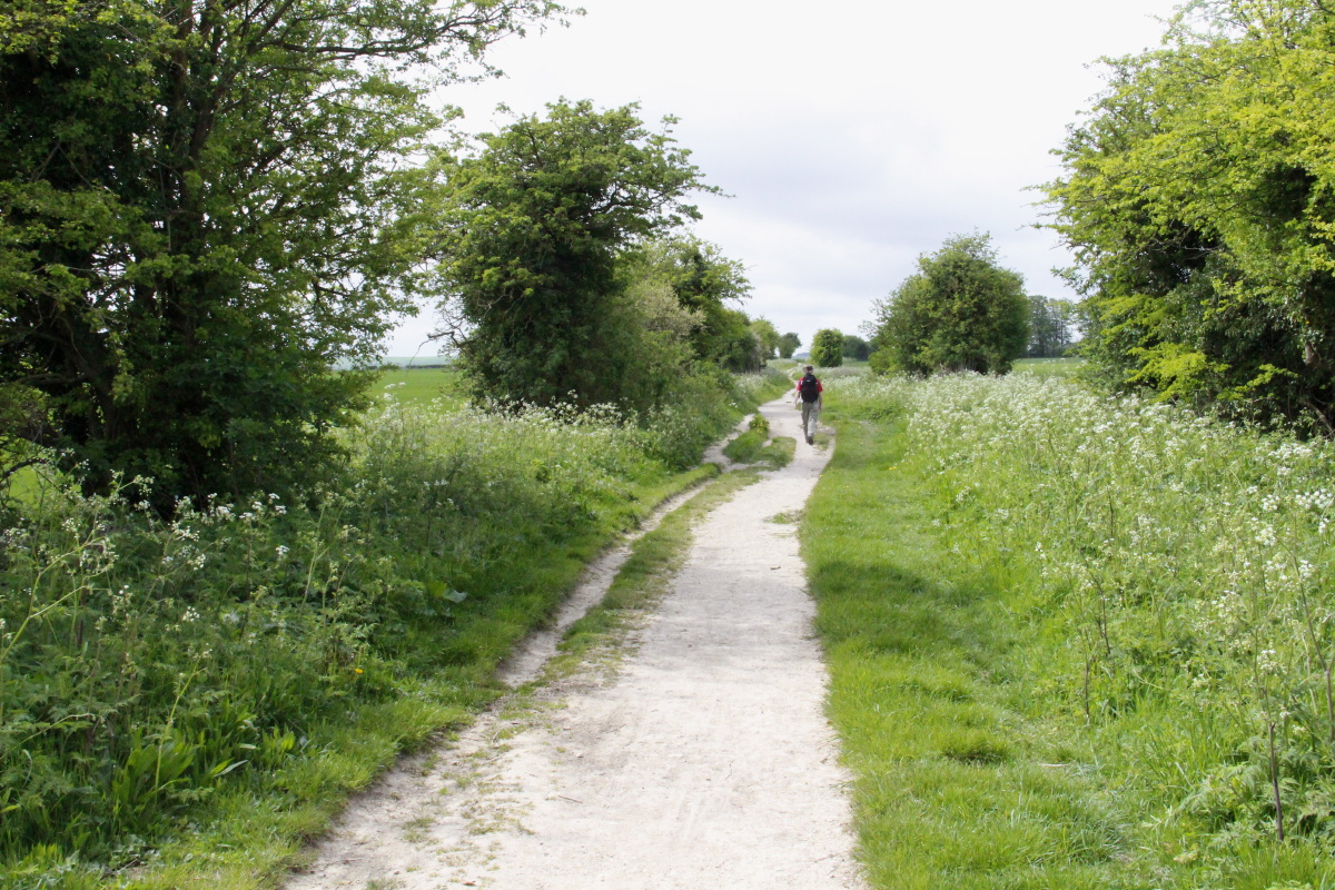
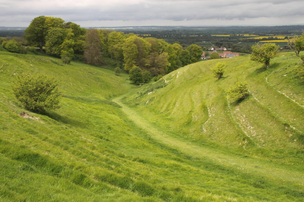
Coming off the Ridge
towards Ashbury |
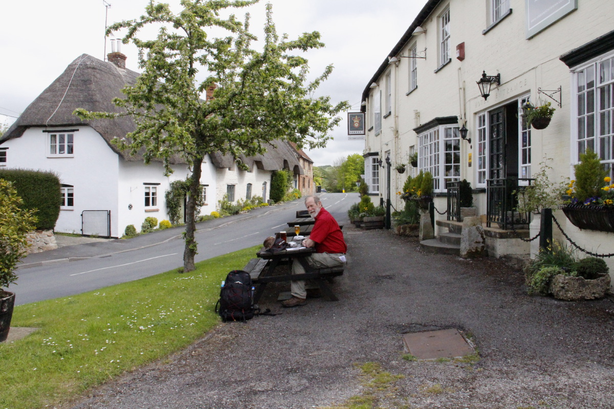
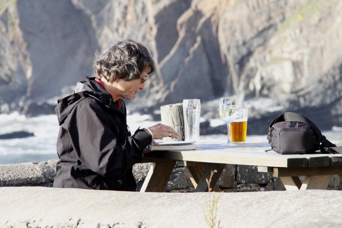
Picnic Lunch,
plus pint |
Being raped
on the way home |
A useful map,
found only up there ... |
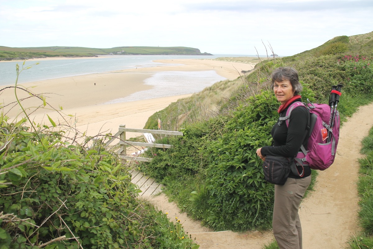
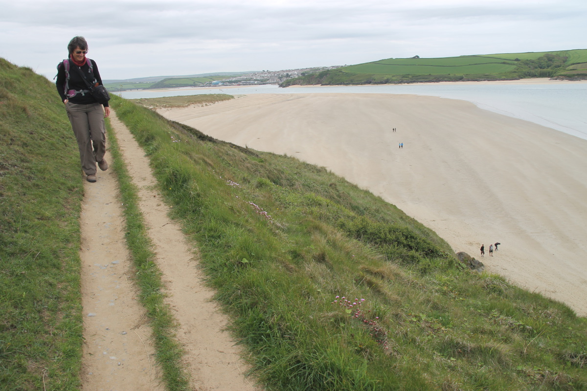
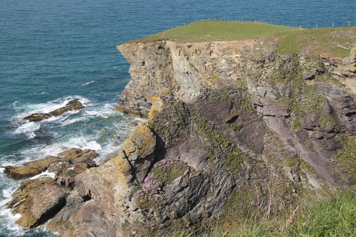
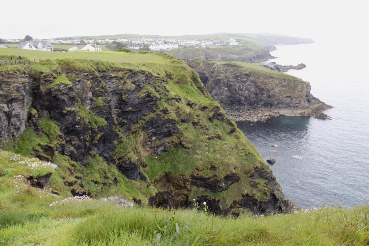
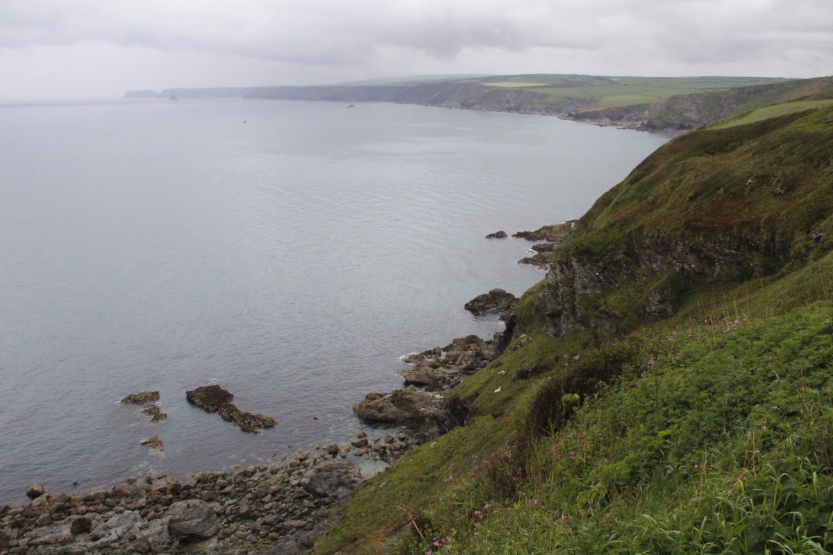
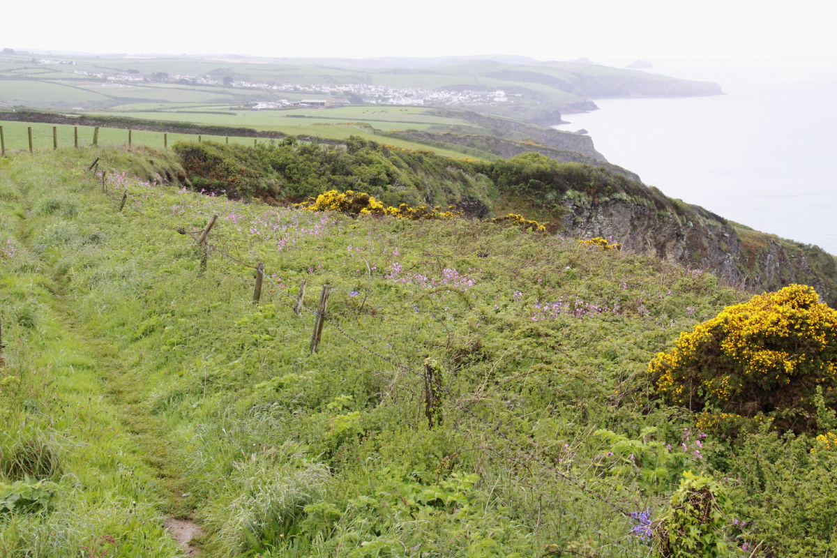
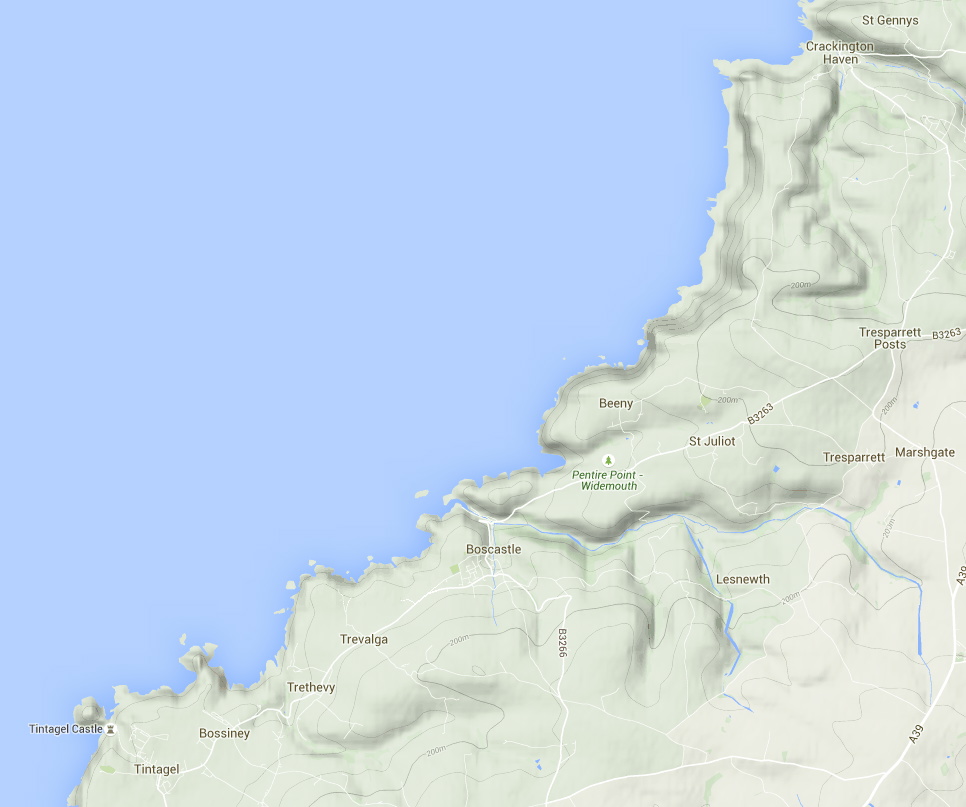
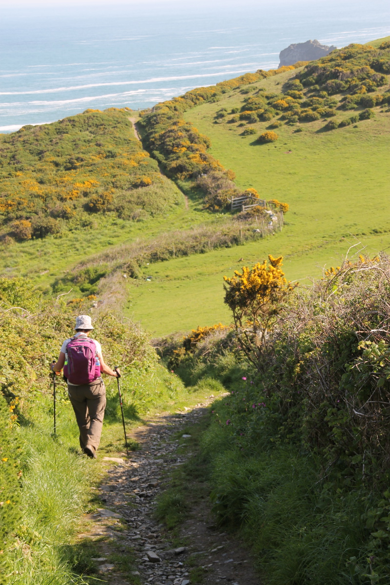
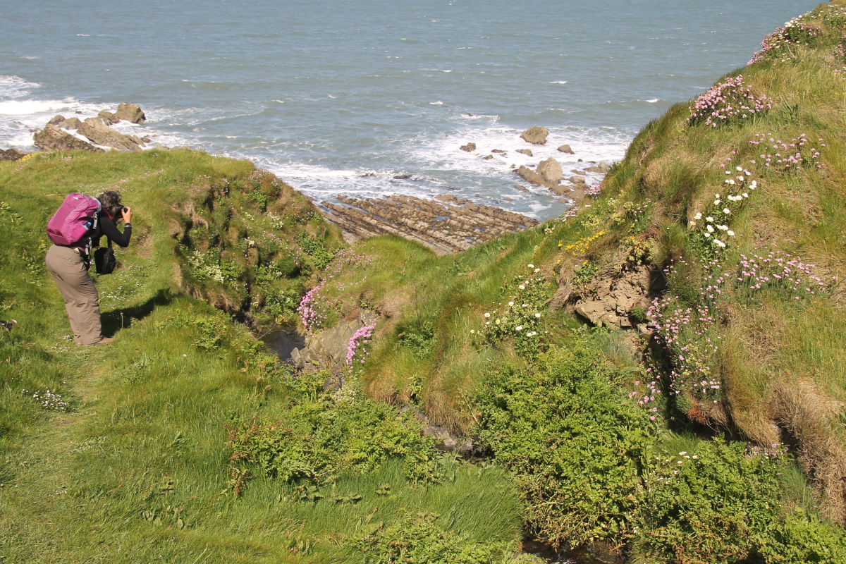
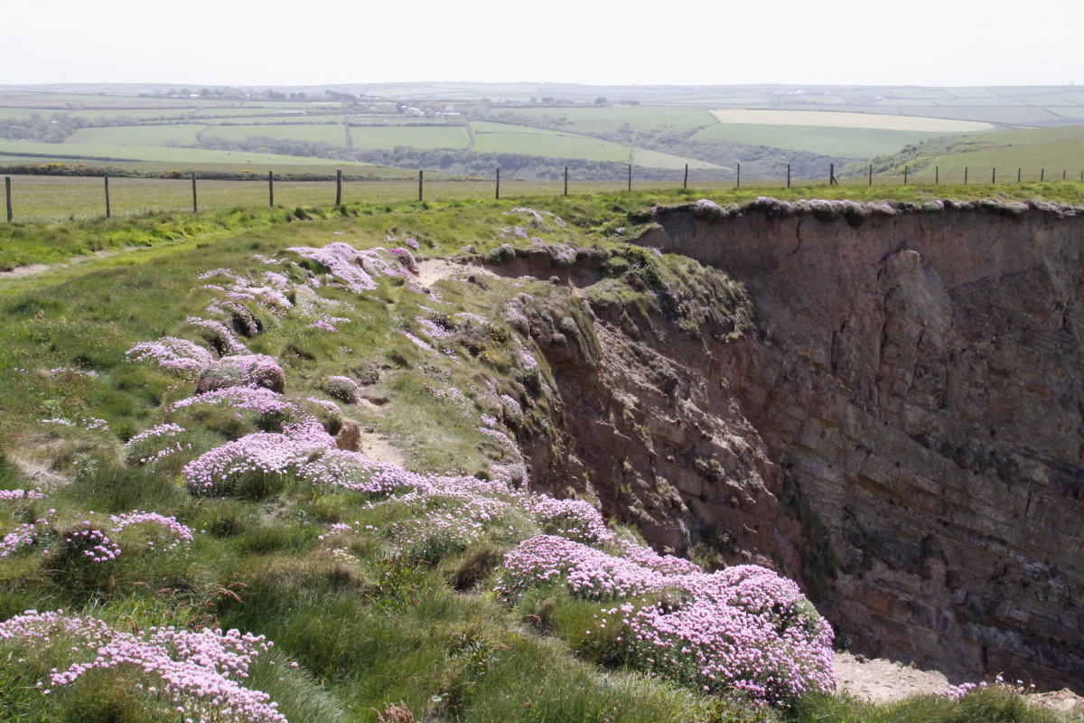
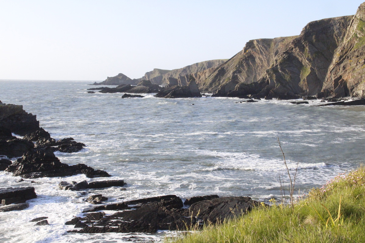
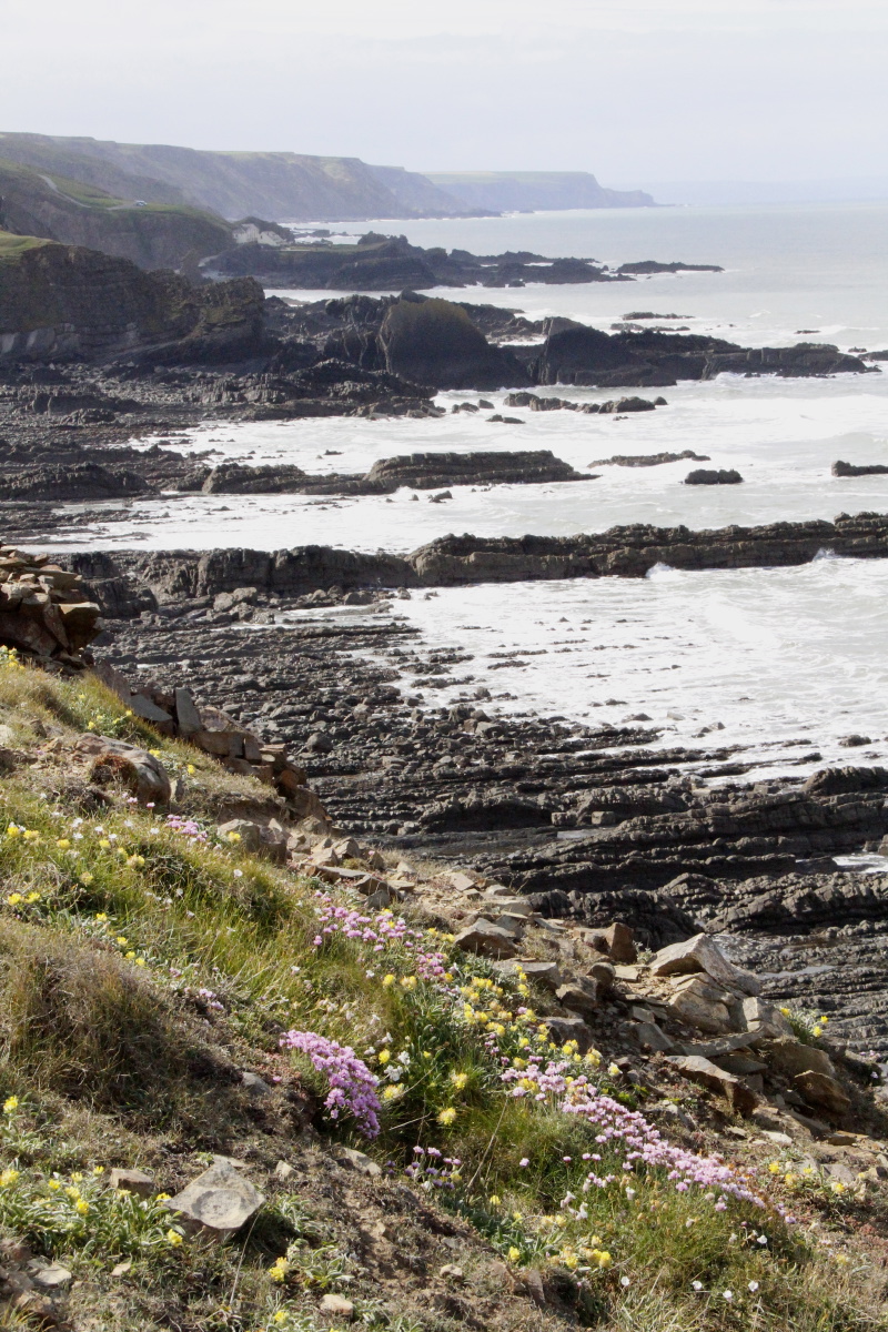
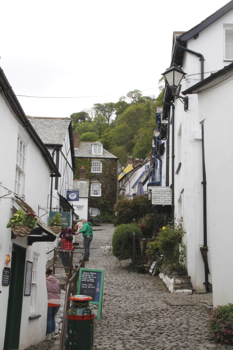
Cornwall – Mid-May 2015
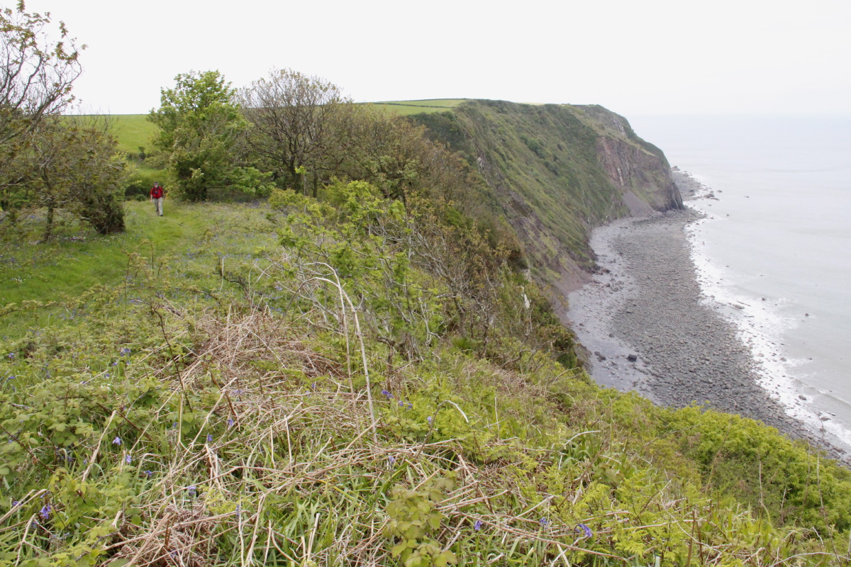
We walked for 5 days on north Cornwall coastal cliffs, northwards, basically from Padstow to Clovelly.
(The books and websites are all written assuming a north to south track, so
most people walk into the sun - ??).
The photos should make clear why we're unapologetic for including walks at altitudes between 10m and 200m.
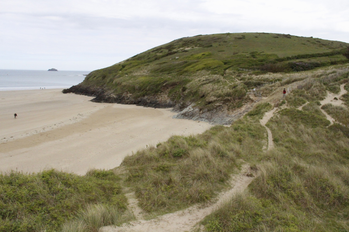
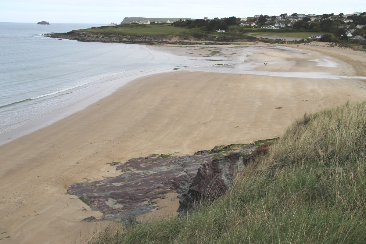
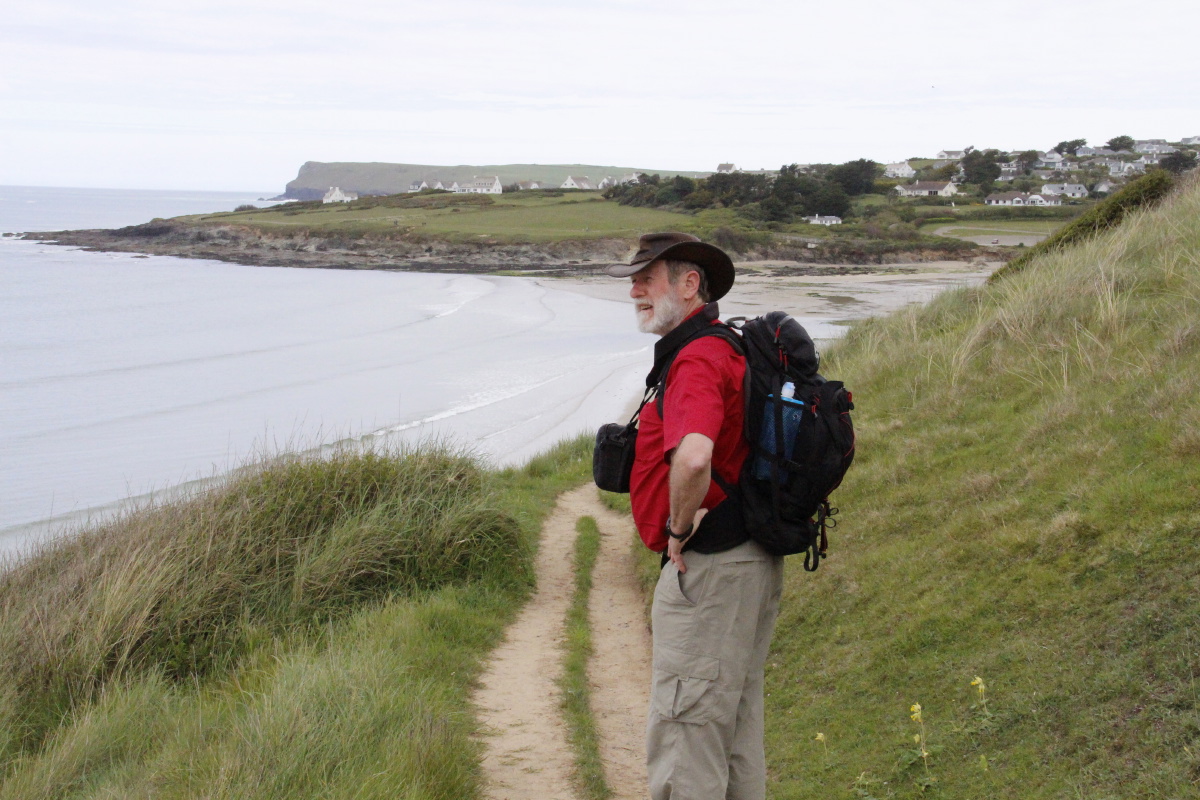
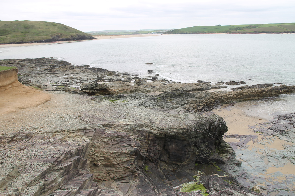
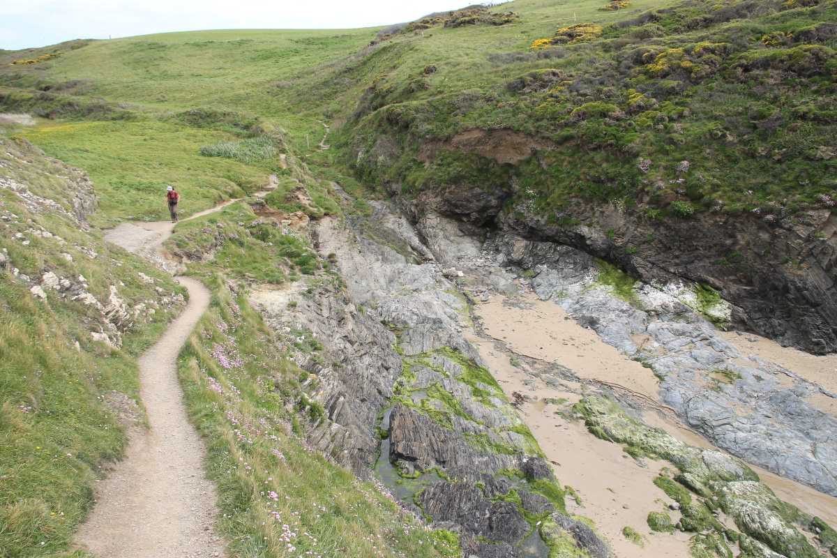
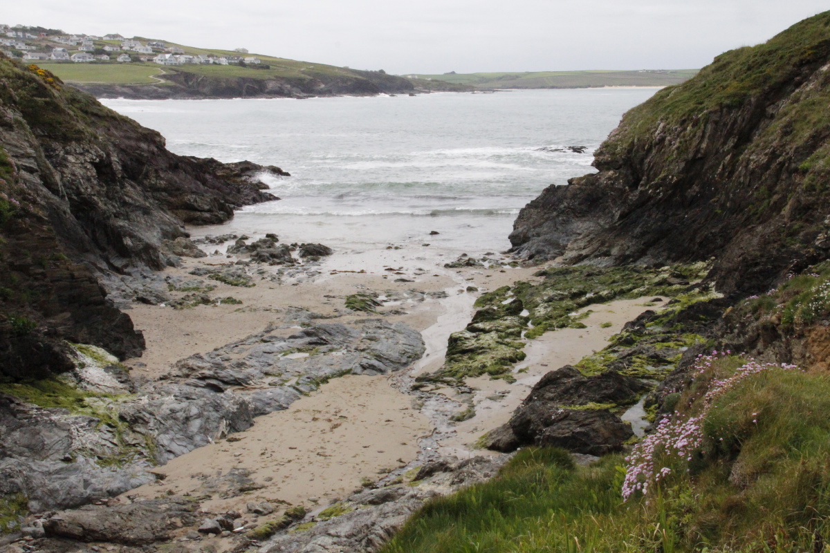
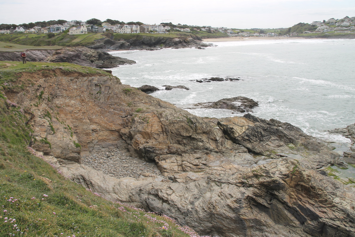
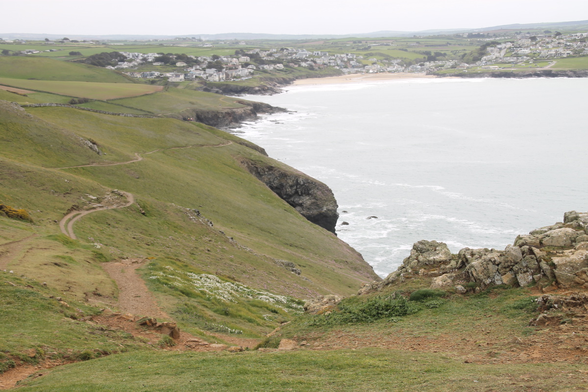
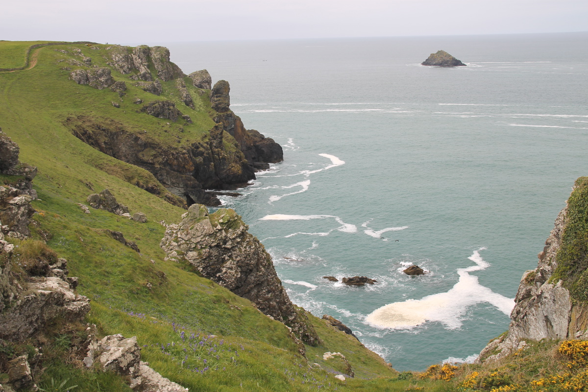
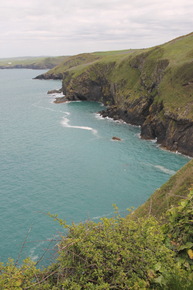
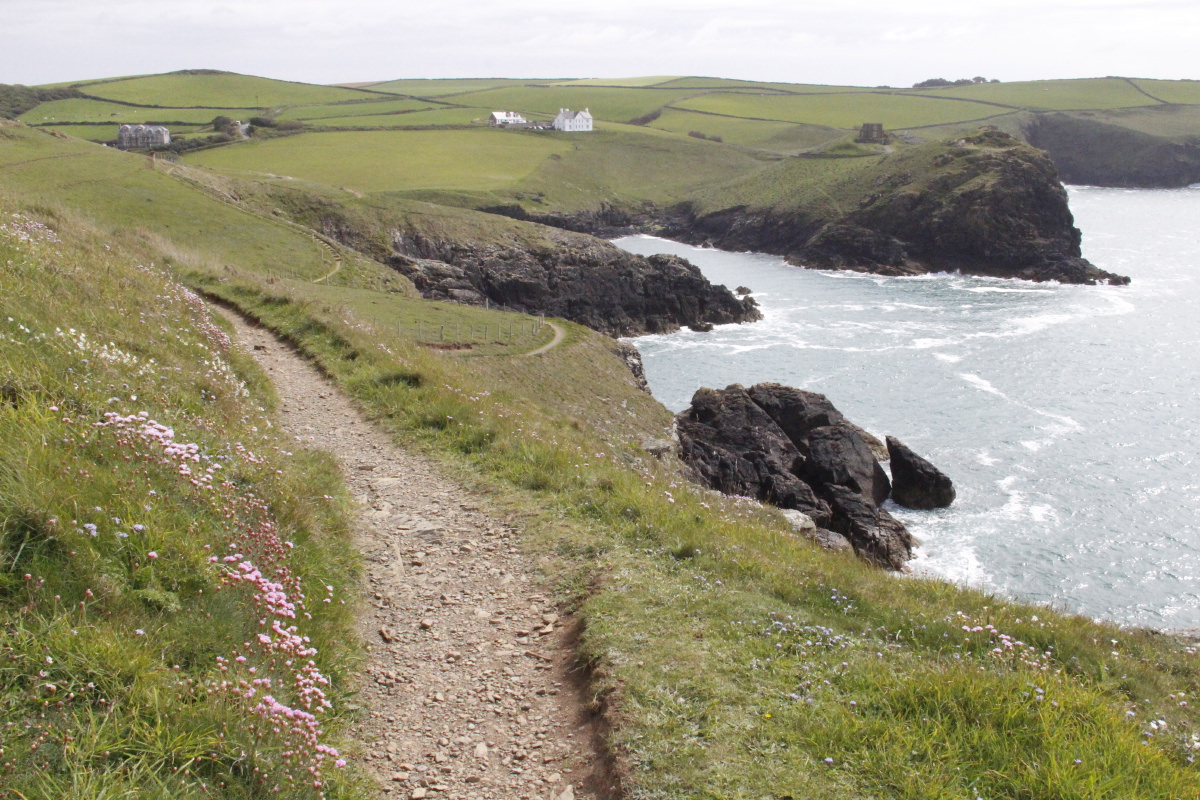
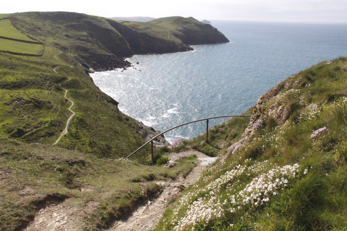
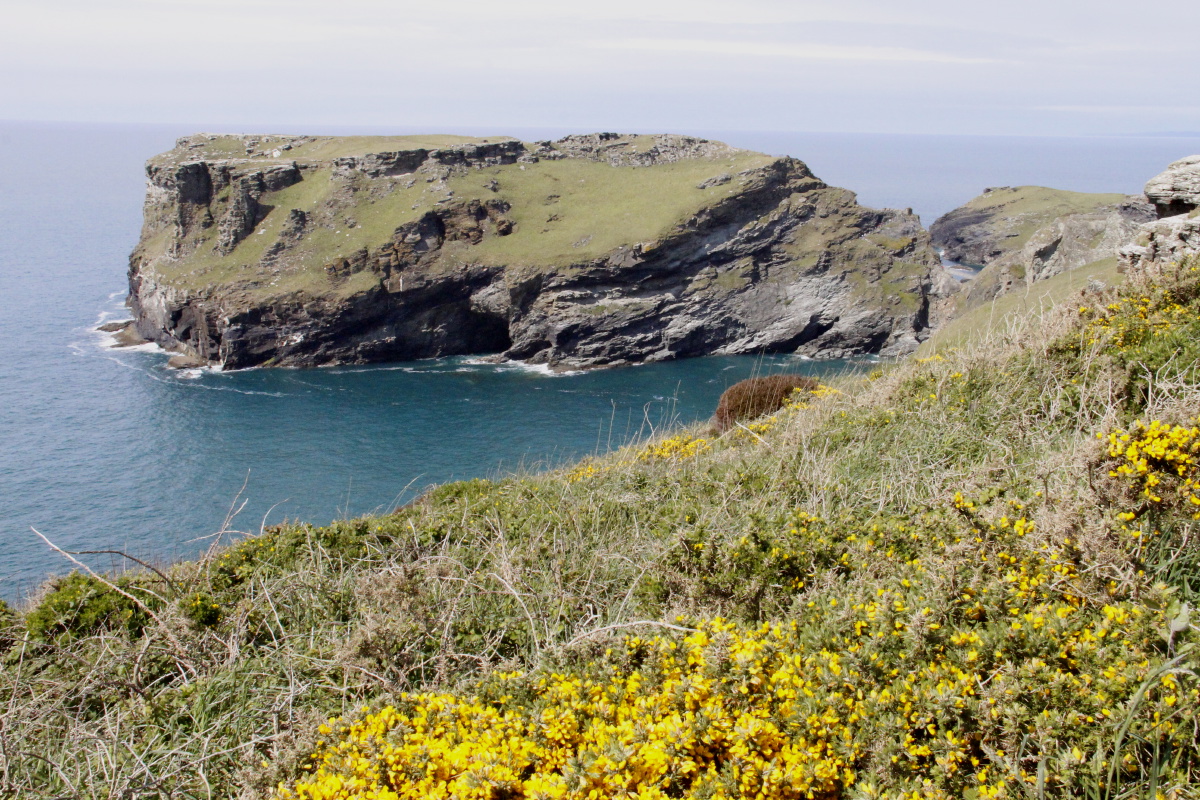
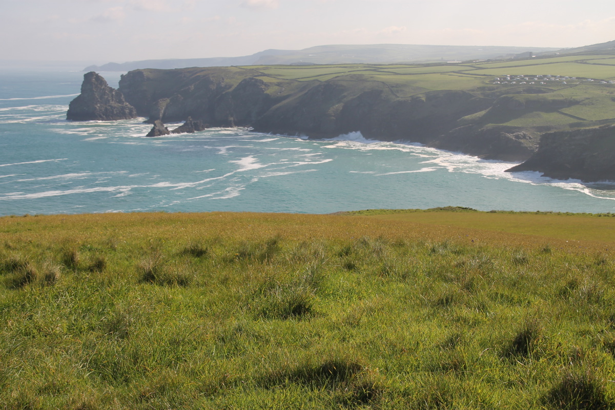
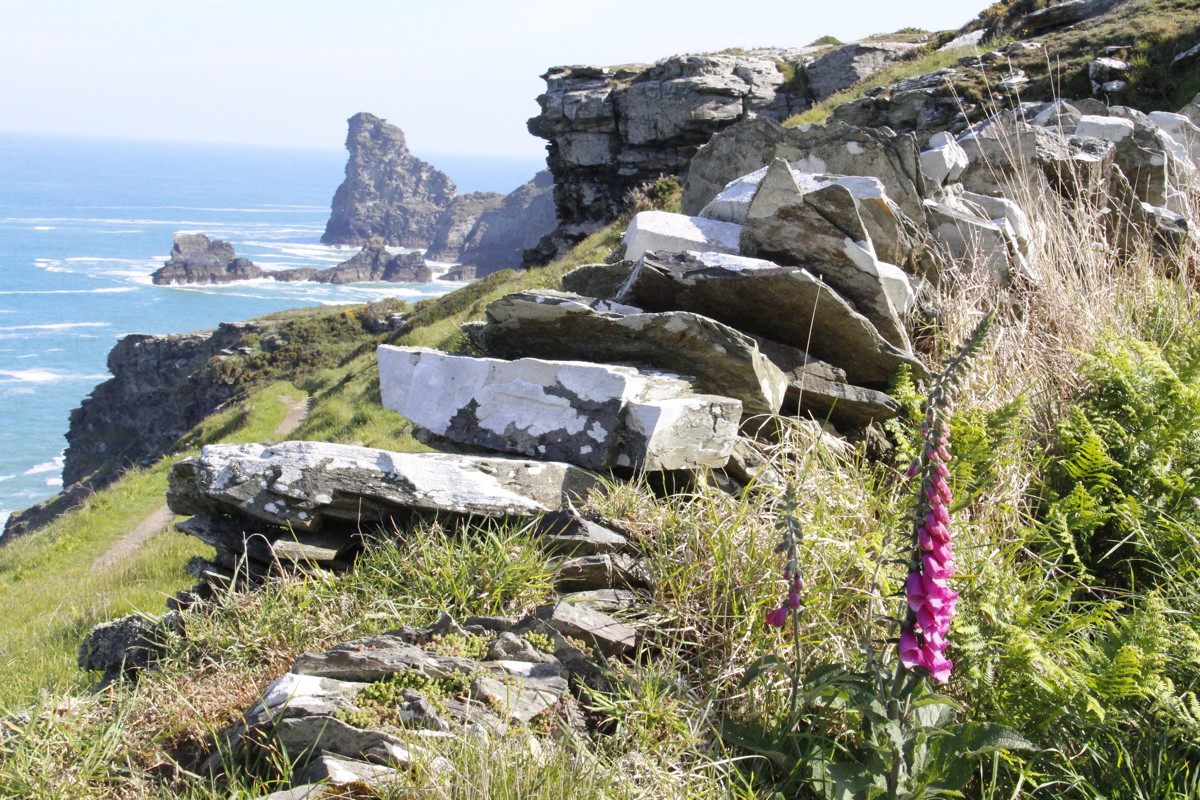
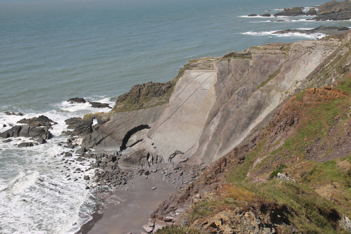
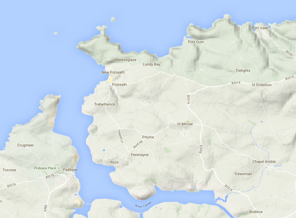
1. Rock to Port Isaac
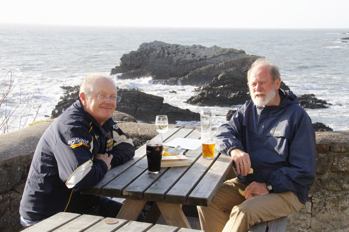
After staying with Chris and Jen Perkins in Bude, we dropped the car at Crackington Haven,
and they picked us up and dropped us at Rock. That greatly simplified the logistics for us!
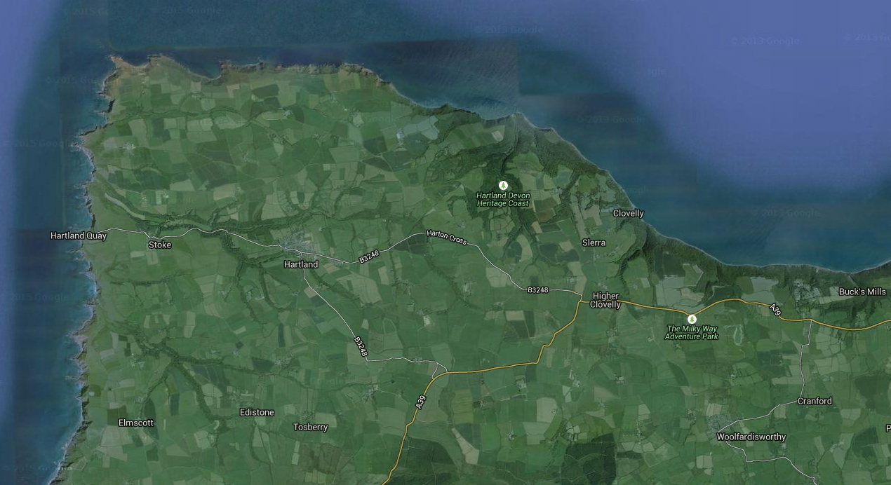
Rock is on the northern side of the Camel Estuary, opposite Padstow. Here's an area map
The highly-varied walk was c. 19km long with 890m of rise and fall. We B&B'd in Port Isaac
|
|
|
|
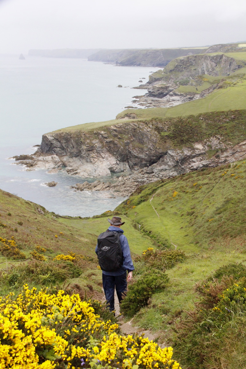
I thought you said
there'd be cliffs |
The Camel Estuary,
Padstow opposite |
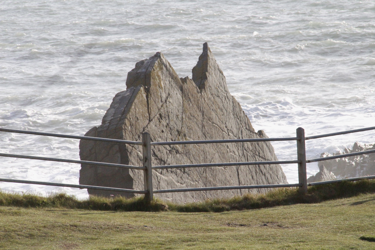
The rocks becoming
more prominent ... |
... once we reach
Daymer Bay |
|
|
|
|
Trebetherick Point |
Rock were on offer in ... |
... red, green ... |
... and various greys |
|
|
|
|
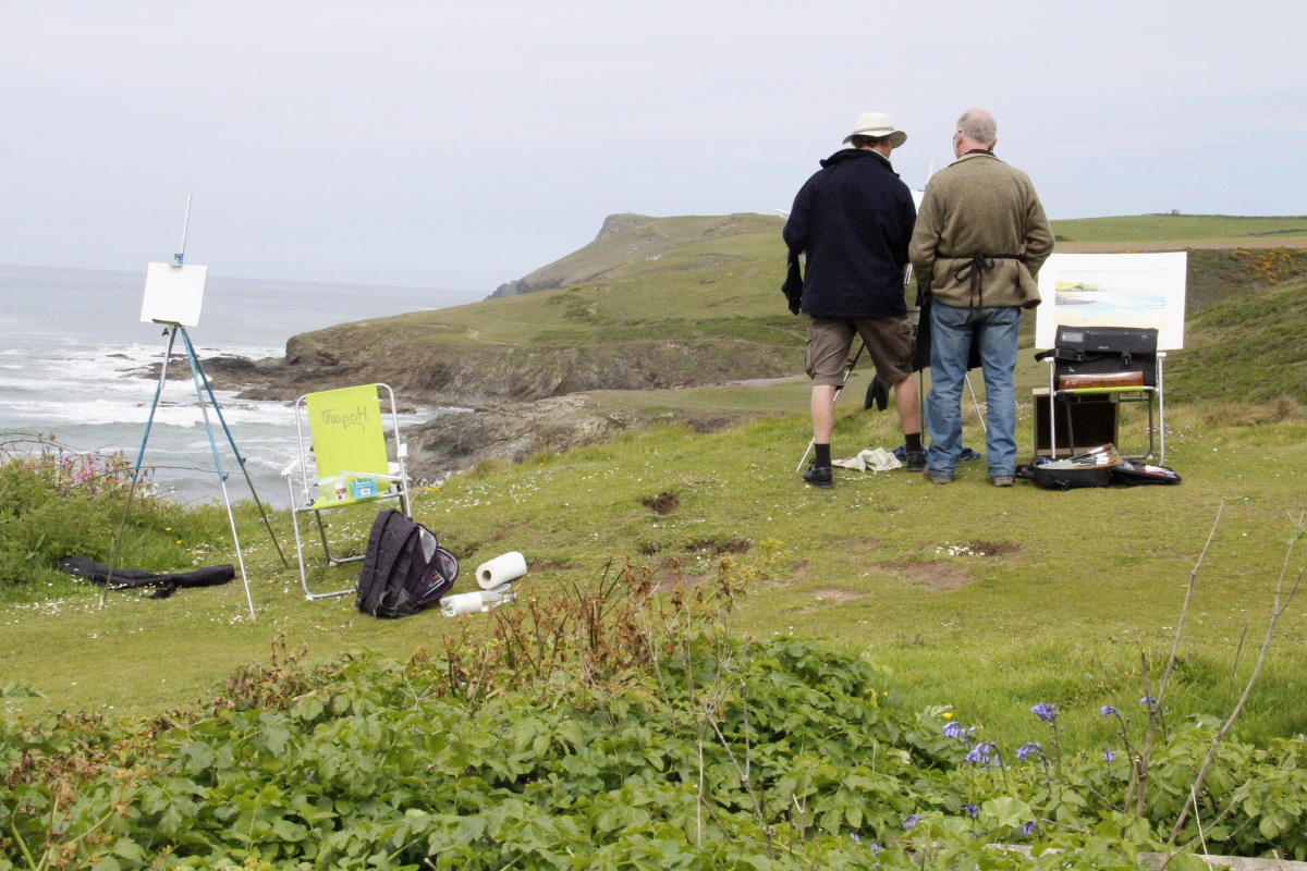
Polzeath is an
artists' haunt |
Small,
characterful coves |
Varied views ... |
... back to Polzeath |
|
|
|
|
Towards
Pentire Point |
Around the Point,
to The Rumps,
now heading East |
To find familiar lines |
Close to
the reverse view |
|
|
|
|
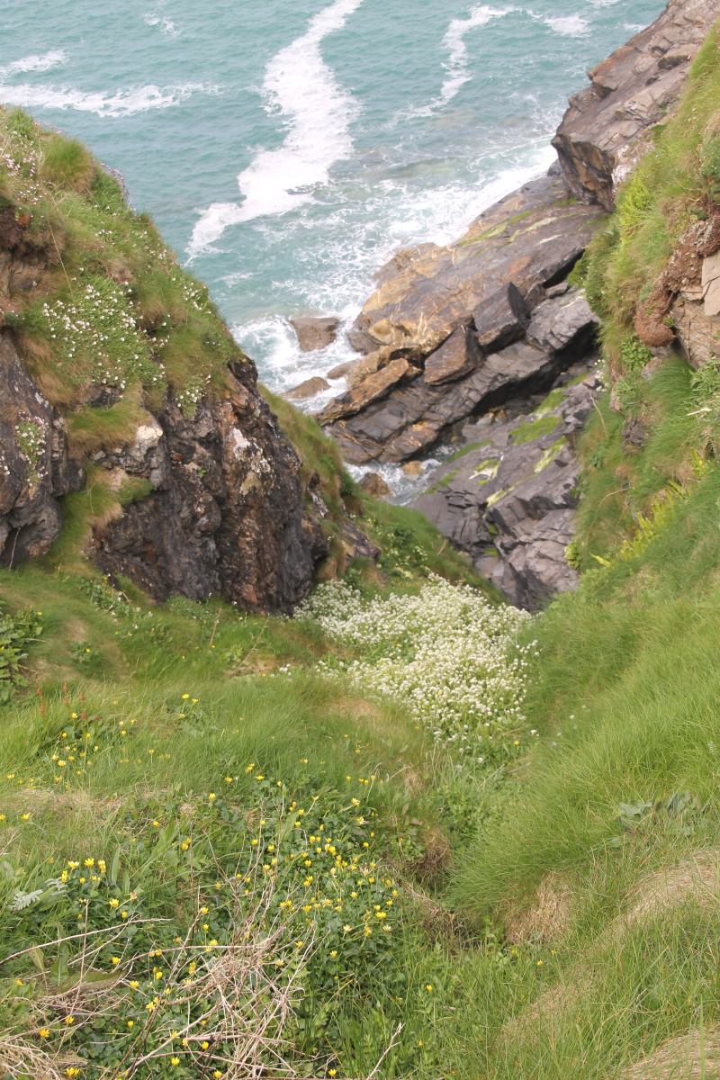
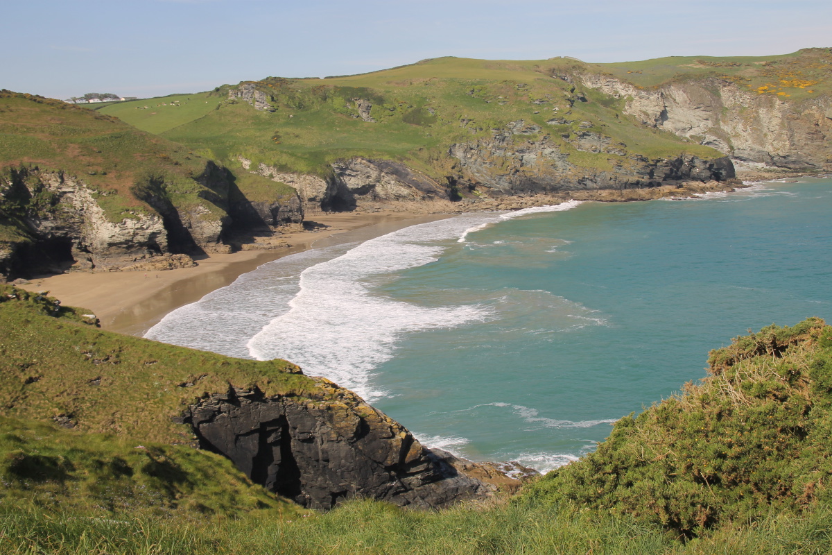
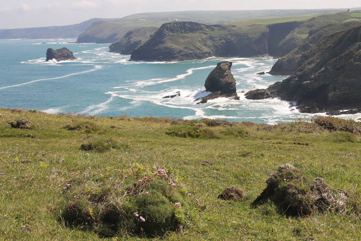
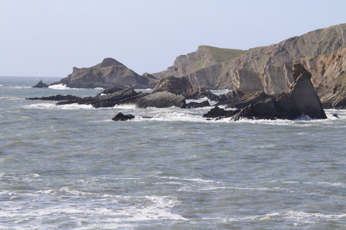
Lundy Bay |
(Lundy apparently means
puffin - in ancient Norse) |
Very scenic |
But, sorry, no puffins |
|
|
|
|
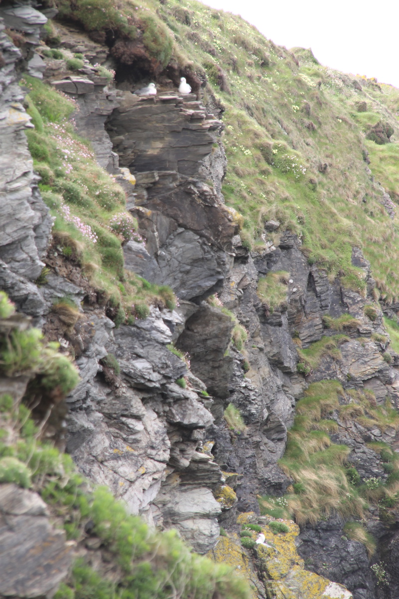
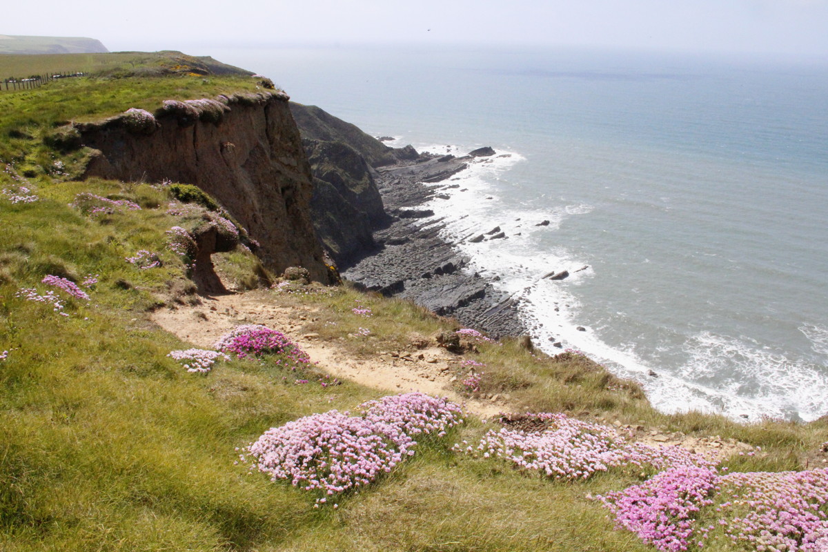
OTOH, there were
fulmars (and kittiwakes) |
And clefts |
And campions |
Trevan Point |
|
|
|
|
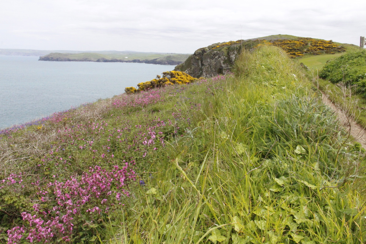
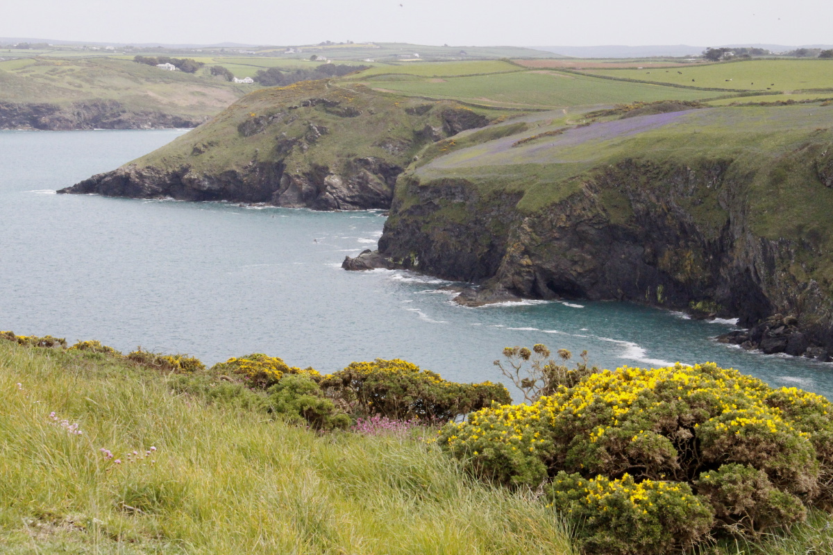
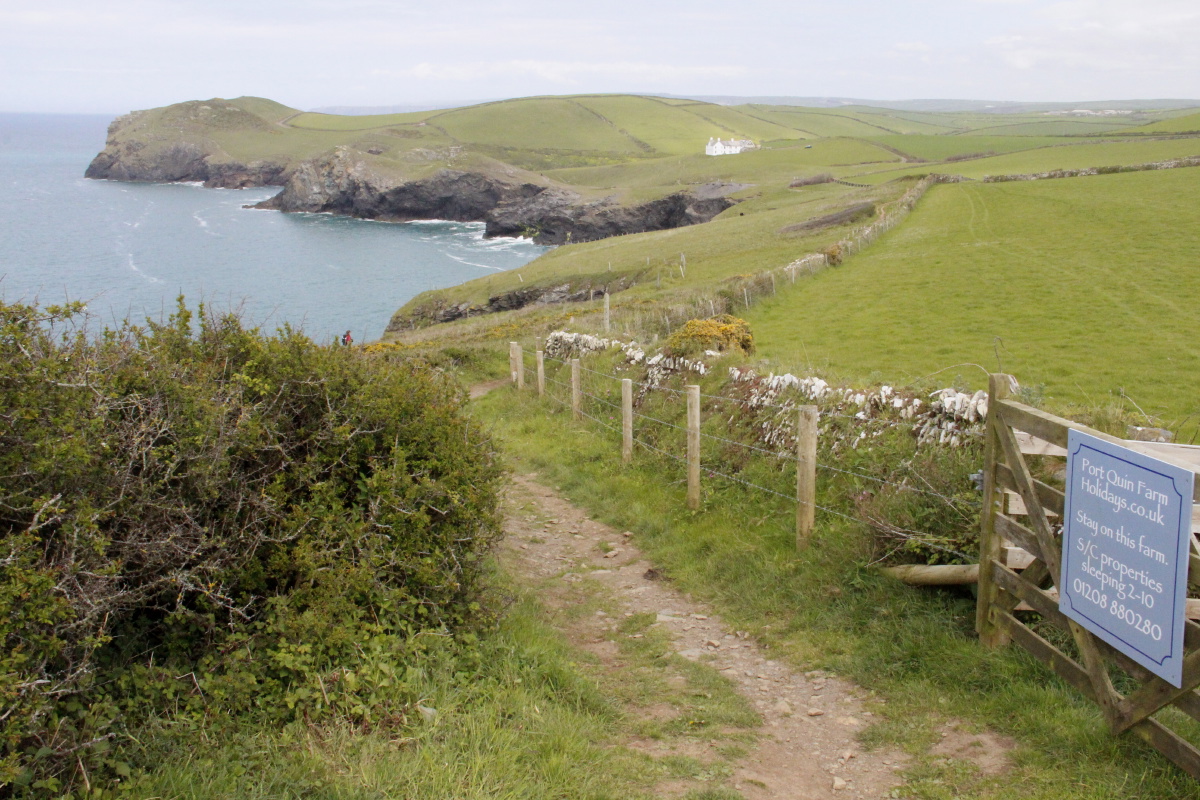
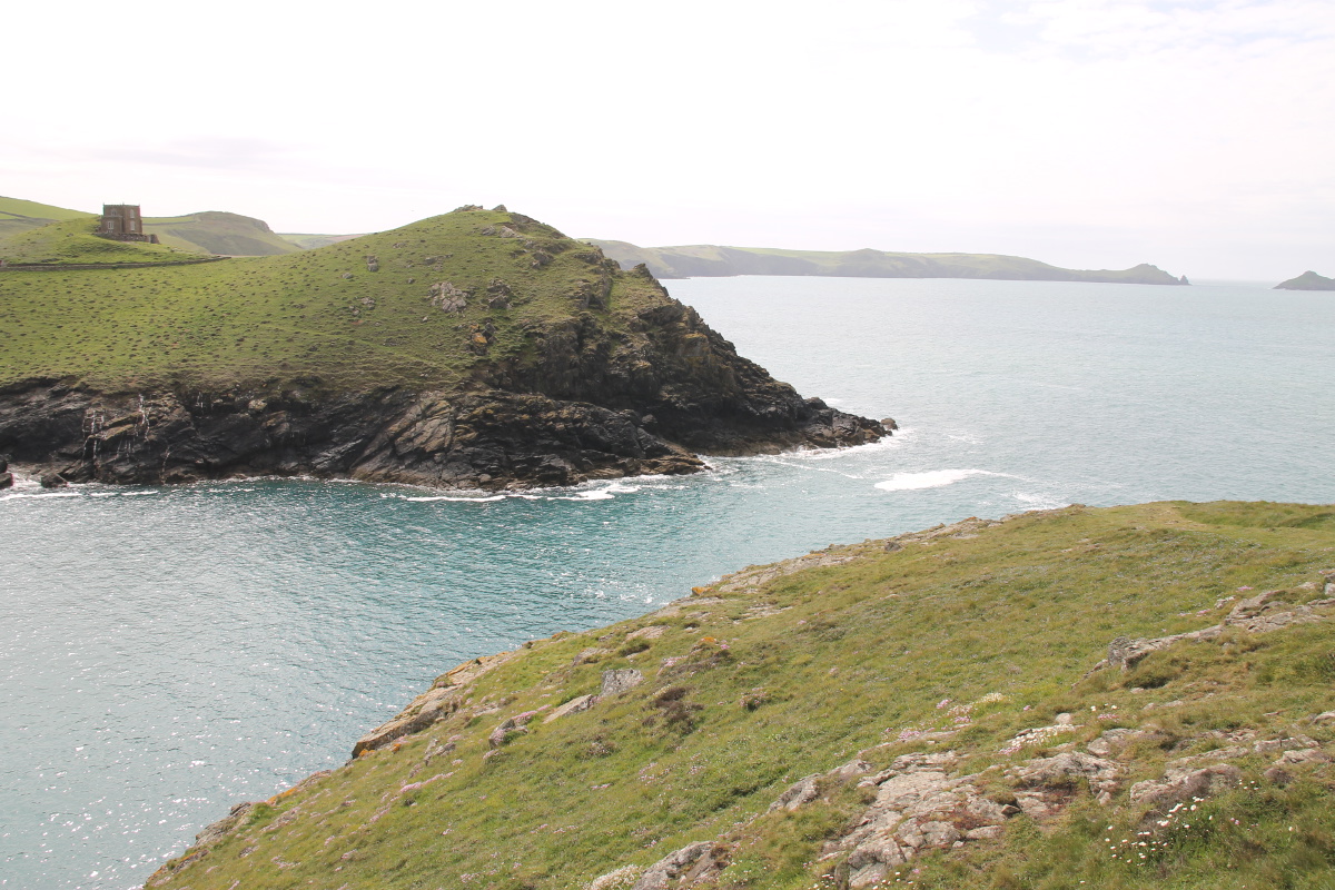
Heading towards ... |
... Port Quin |
Views back ... |
... westwards |
|
|
|
|
Flower and
chocolate break |
More rocks |
A nice time of day
to look westwards ... |
... back towards
The Rumps |
|
|
|
|
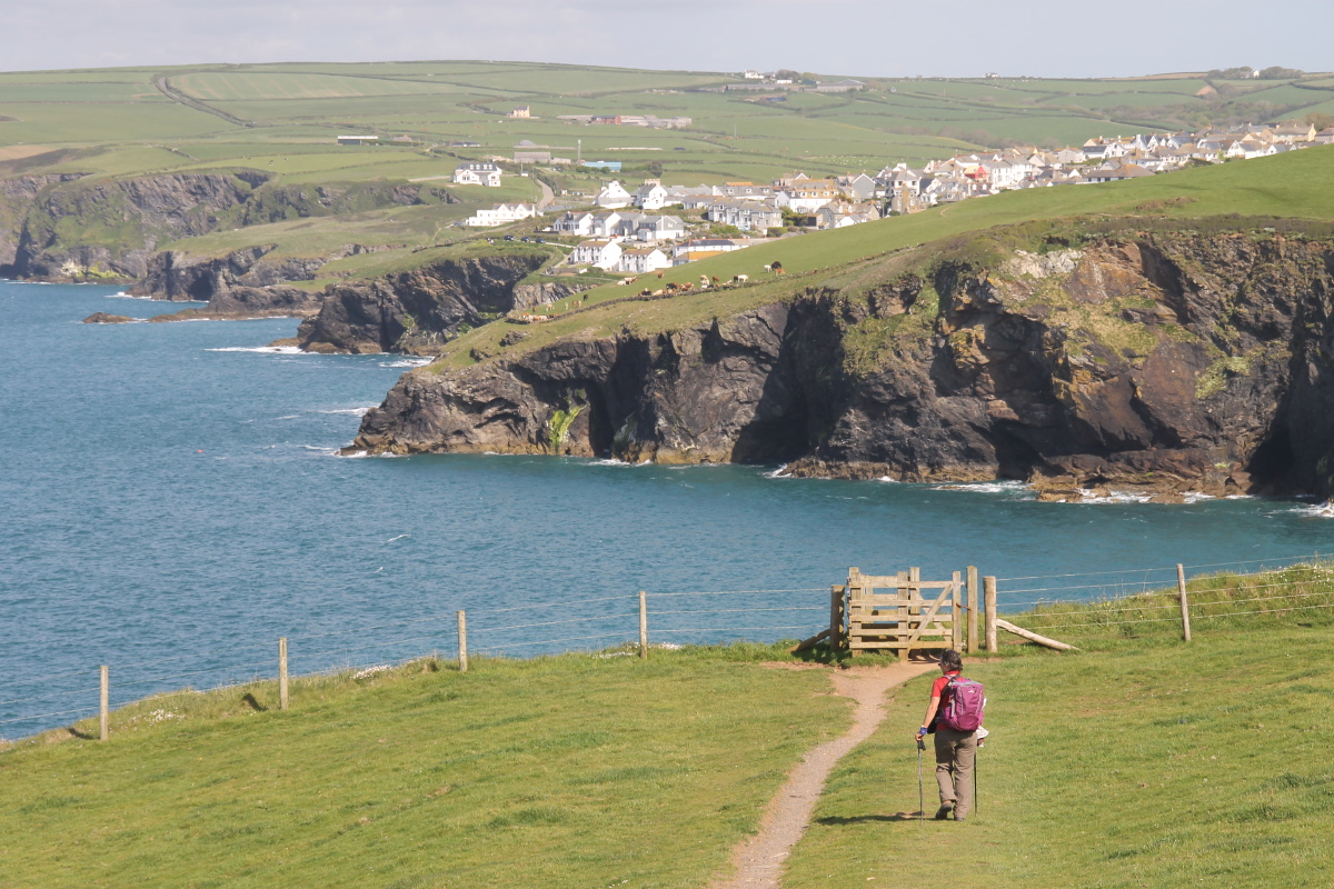
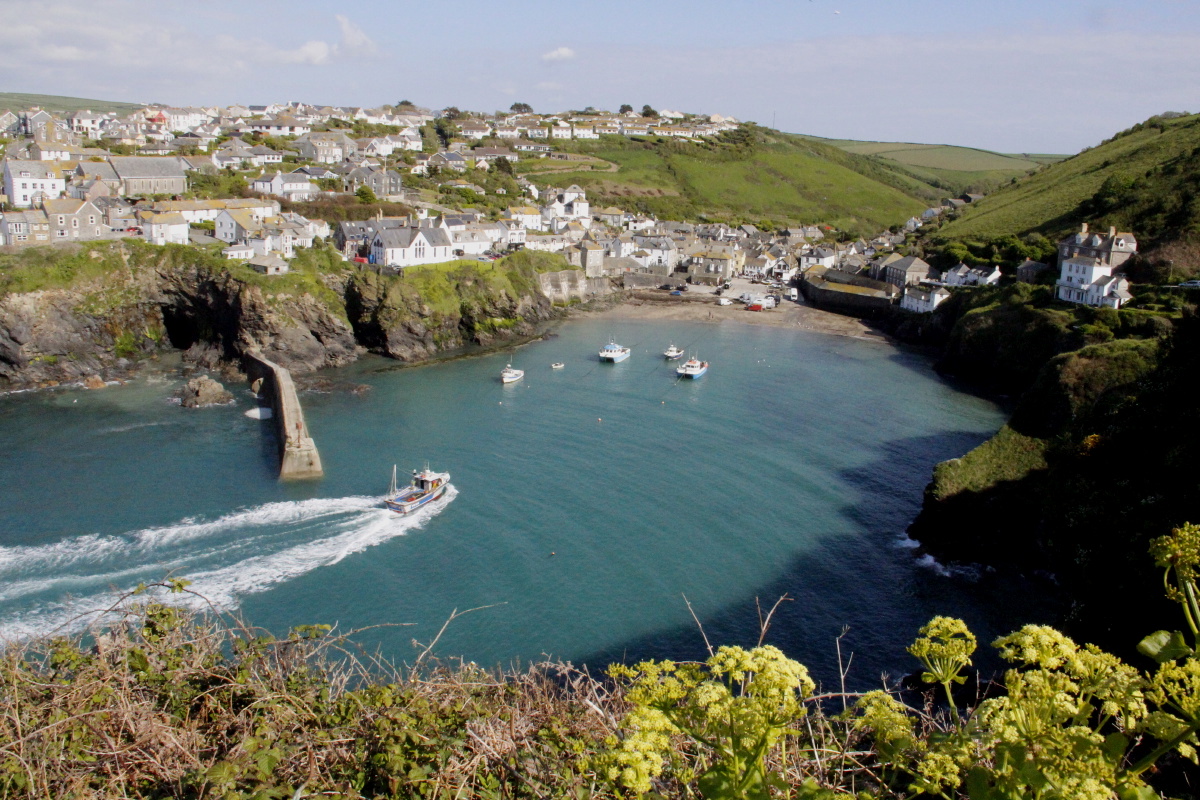
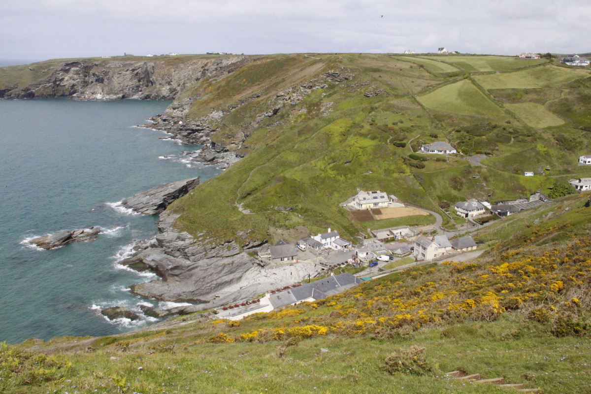
Approaching
Port Isaac |
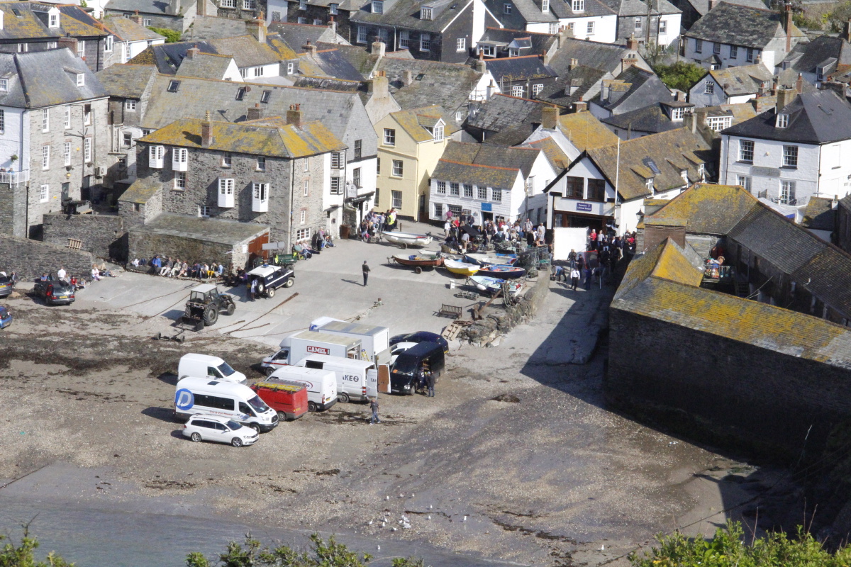
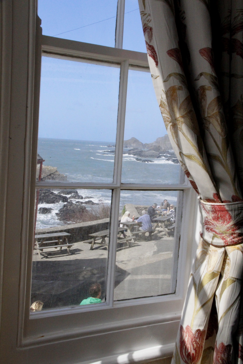
Port Isaac,
at work |
Doc Martin crew,
at work |
Bedroom window
view, west to Tintagel |
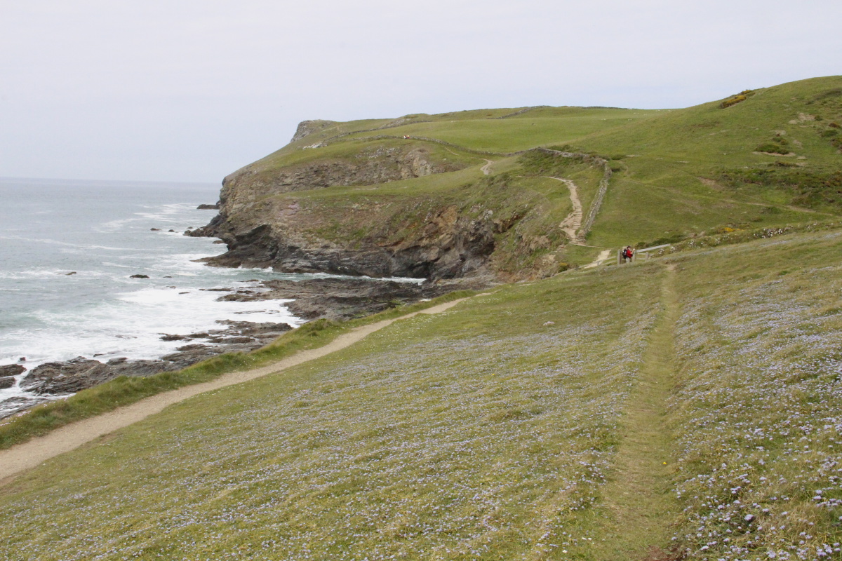
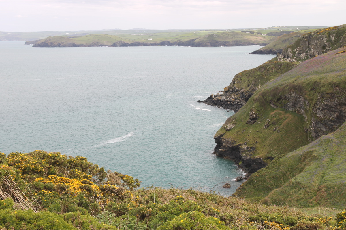
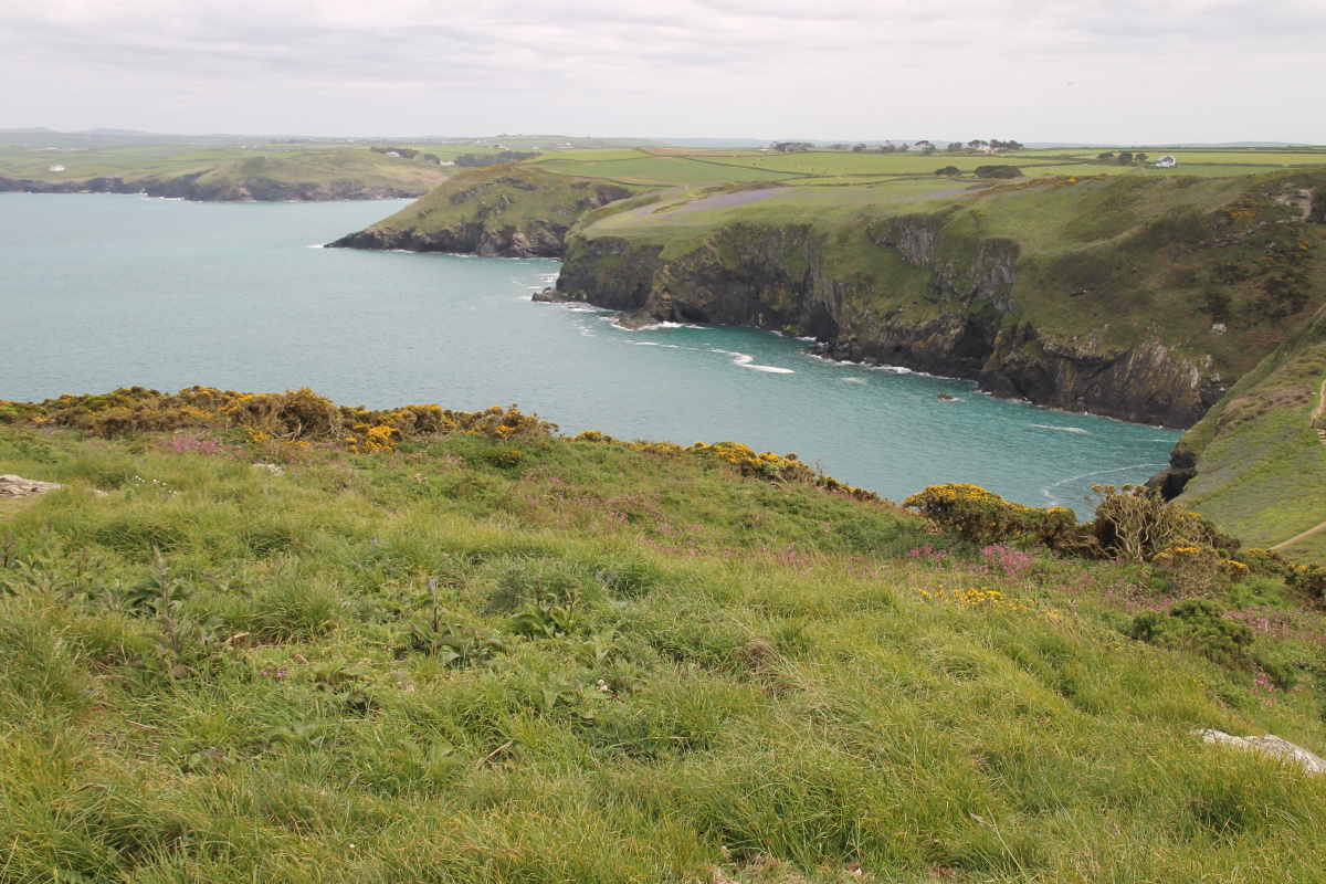
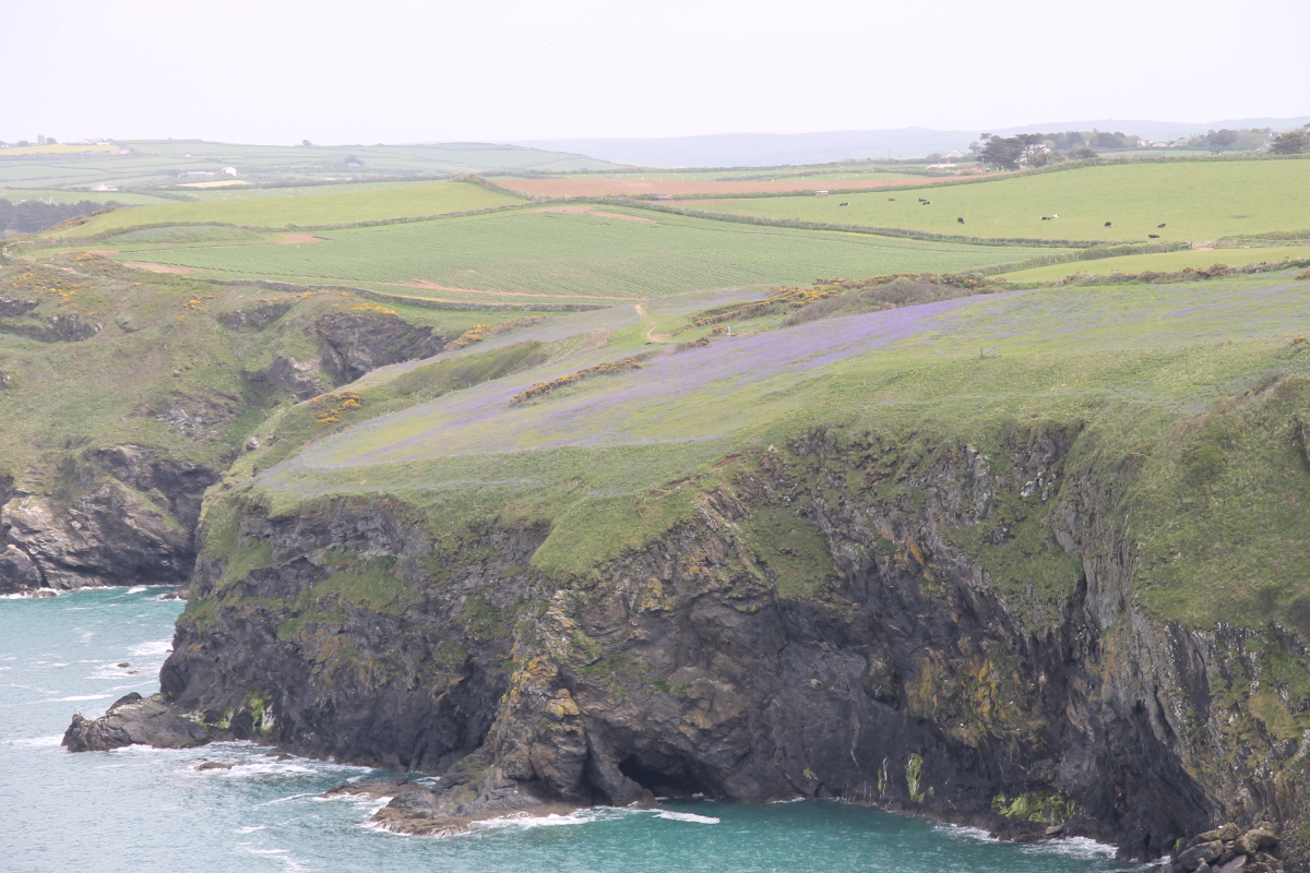
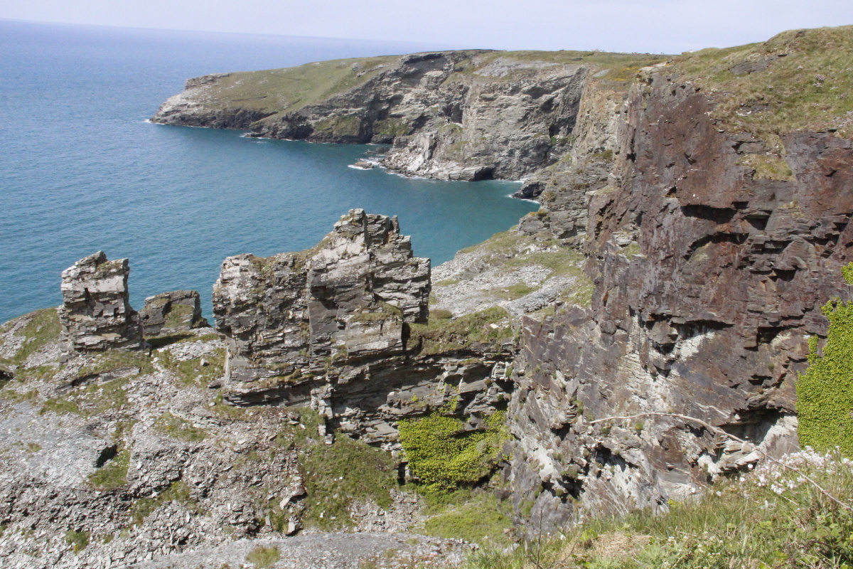
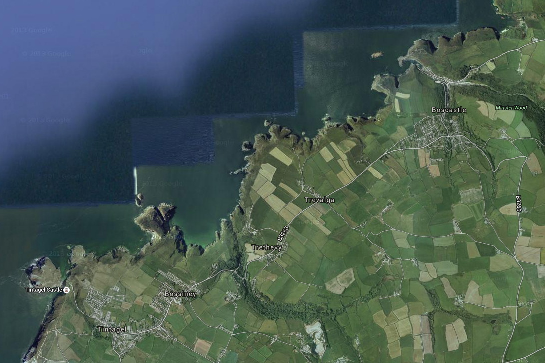
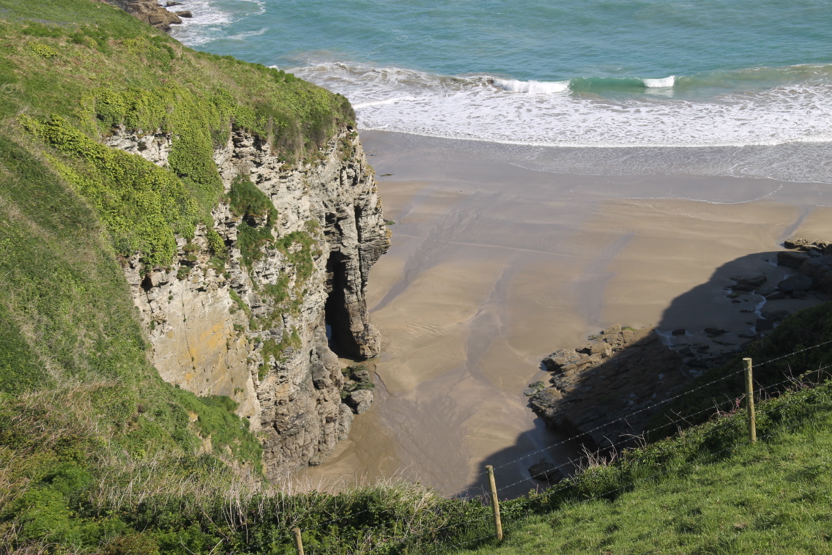
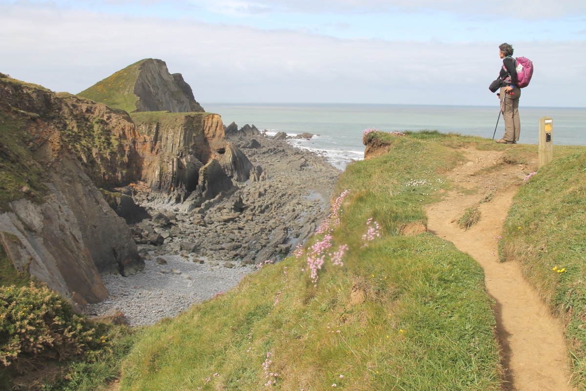
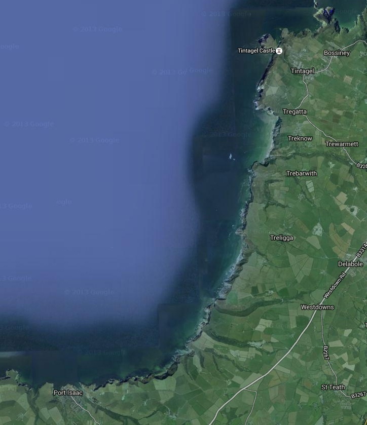
2. Port Isaac to Tintagel
This section was c. 15km and 790m. The first 2 hours were in the only rain that we suffered.
The latter parts are particularly scenic. We B&B'd in Tintagel. Here's a satellite image.
|
|
|
|
View back to
Pt Isaac |
View ahead to
Tintagel |
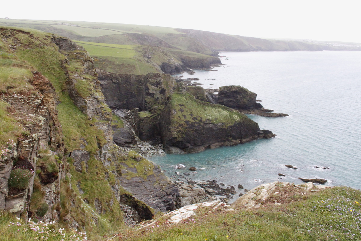
Typical cliff-top path |
Typical cove,
and Delabole Pt |
|
|
|
|
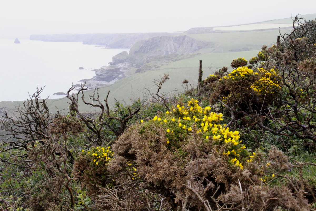
Typical gorse |
Almost-islands |
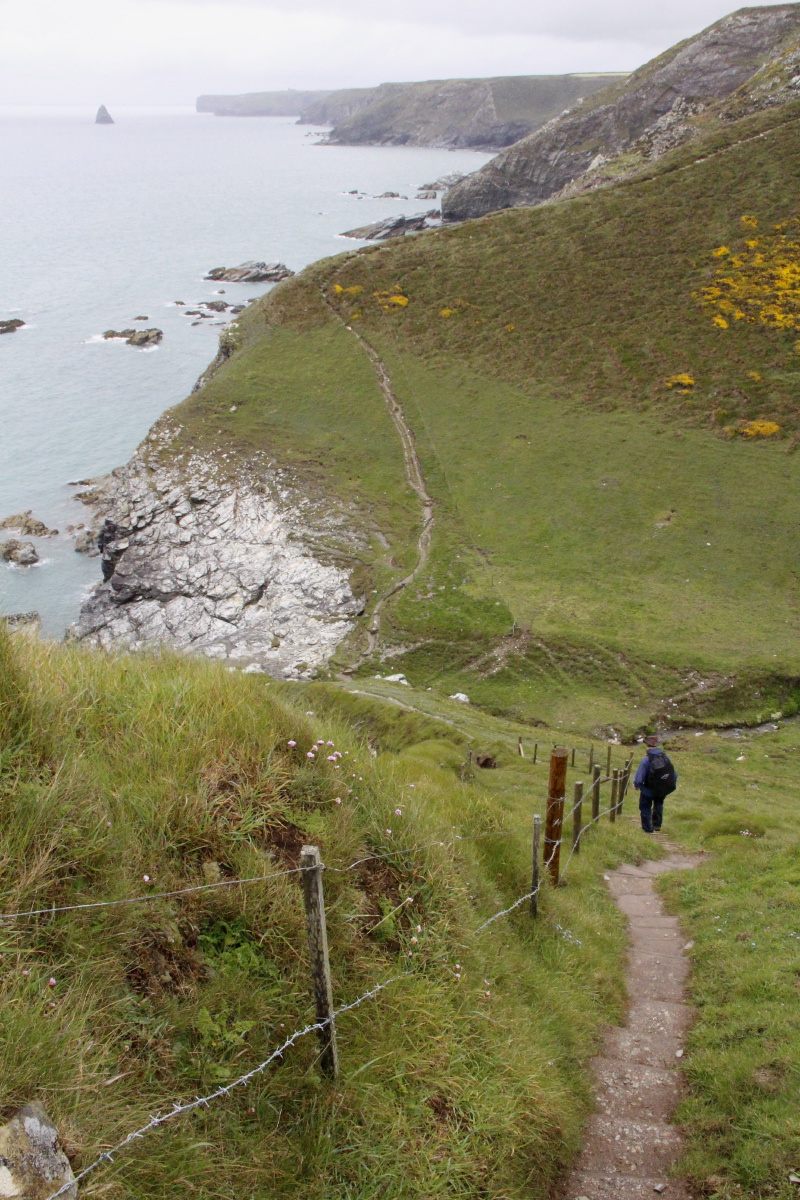
Typical paths, arising
from negotiations
with landowners |
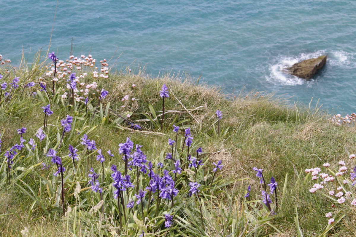
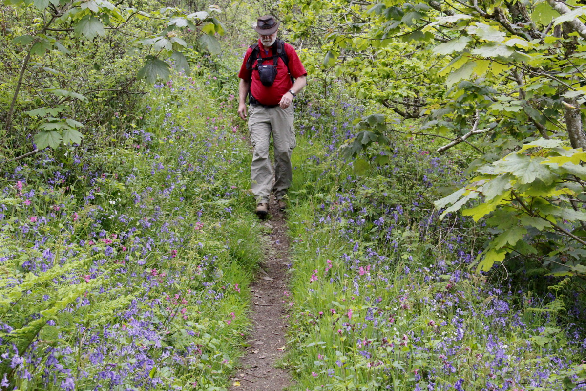
Bluebells,
thrift, sea |
|
|
|
|
Weather improving,
at Trebarwith |
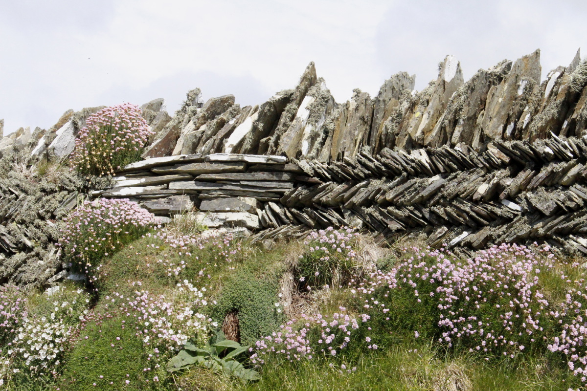
Slate fence ... |
... and view |
Tintagel, with
its romantic ruins |
|
|
|
|
Slate Quarry ... |
... just south
of Tintagel ... |
From further on ... |
... and cliffs |
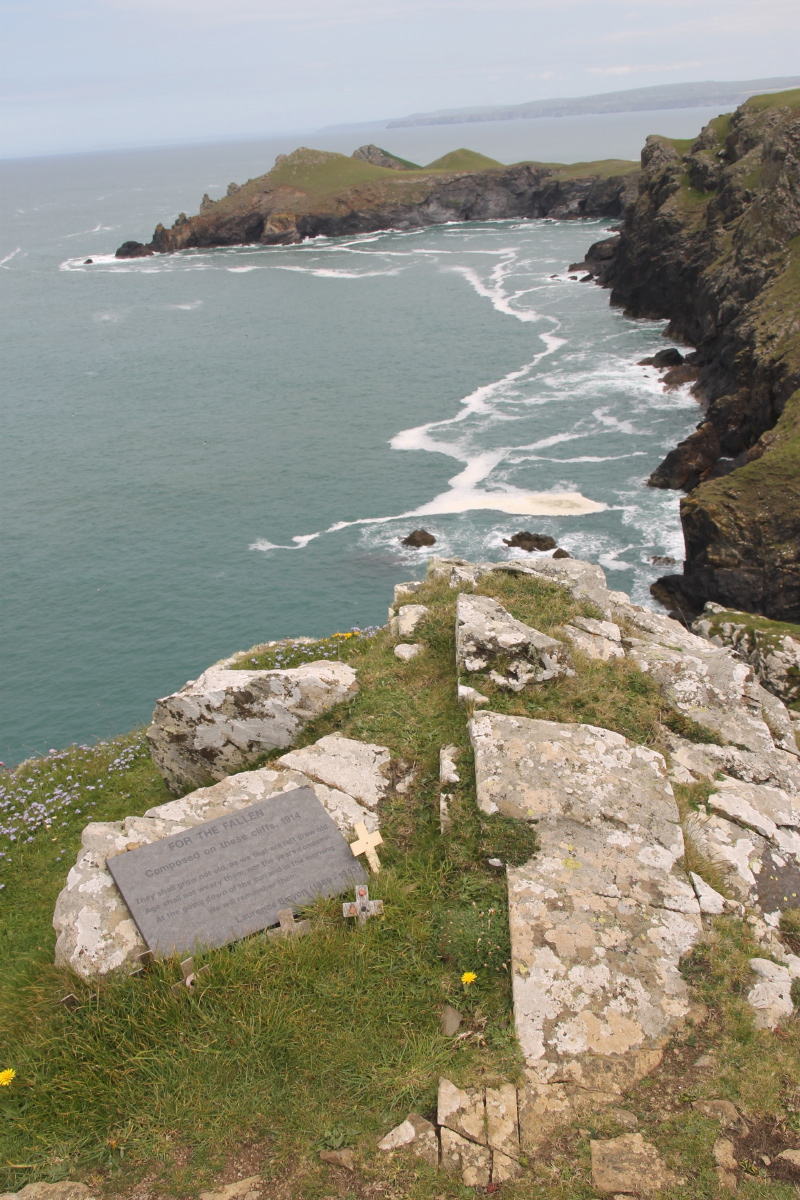
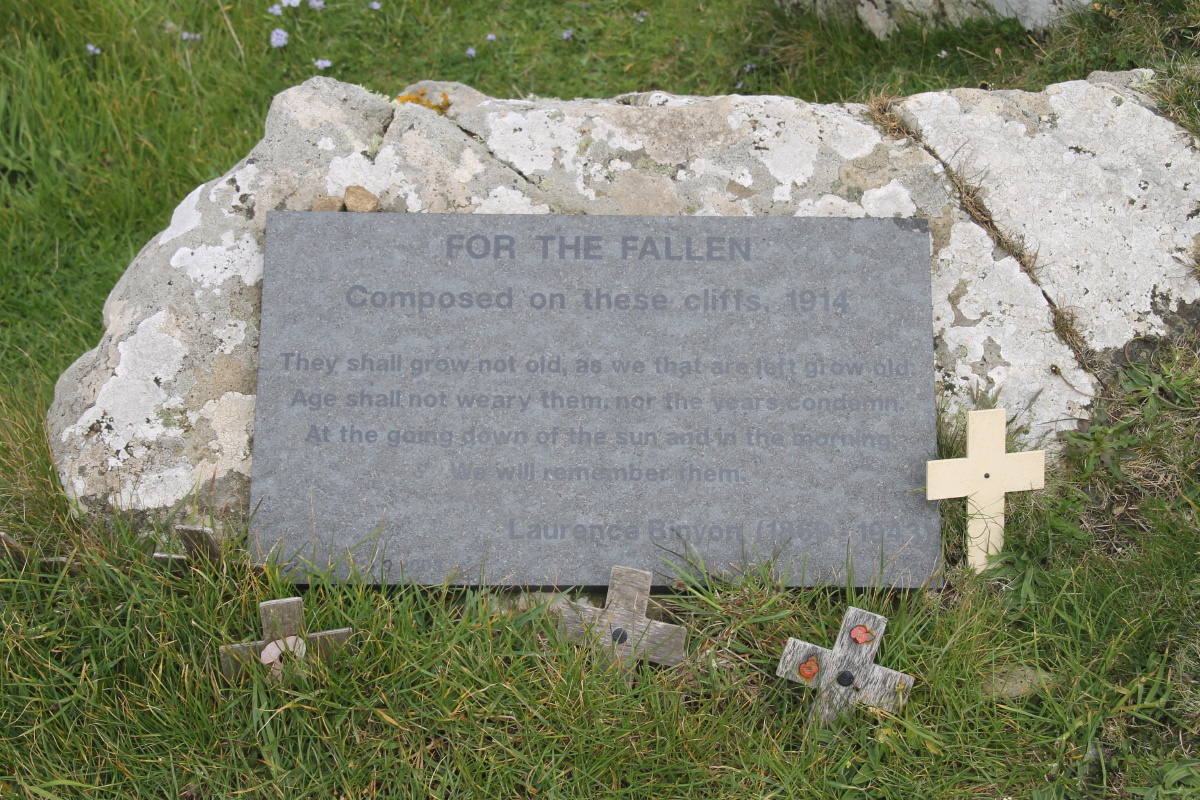
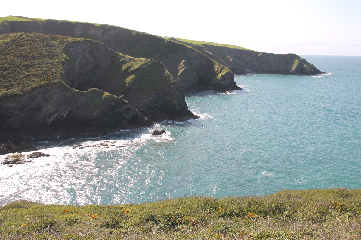
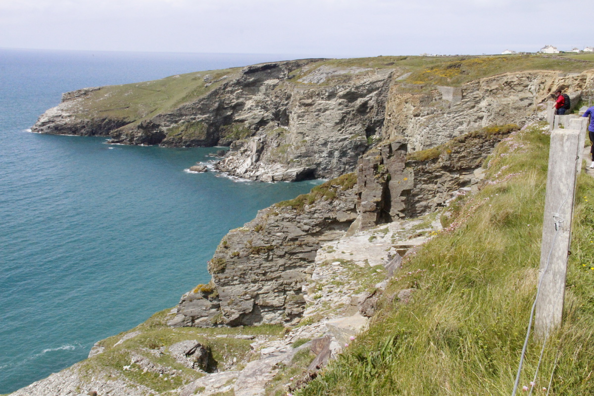
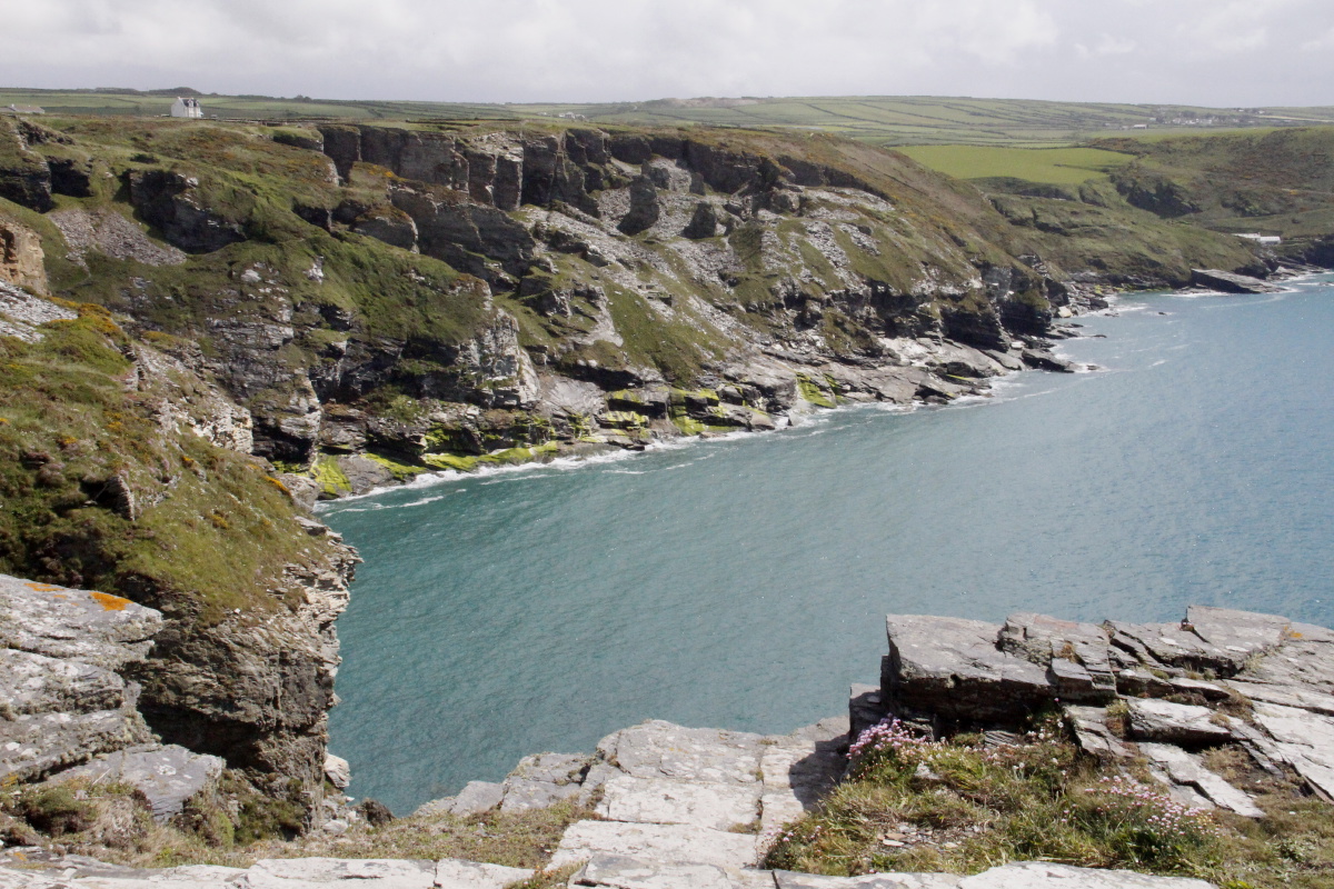
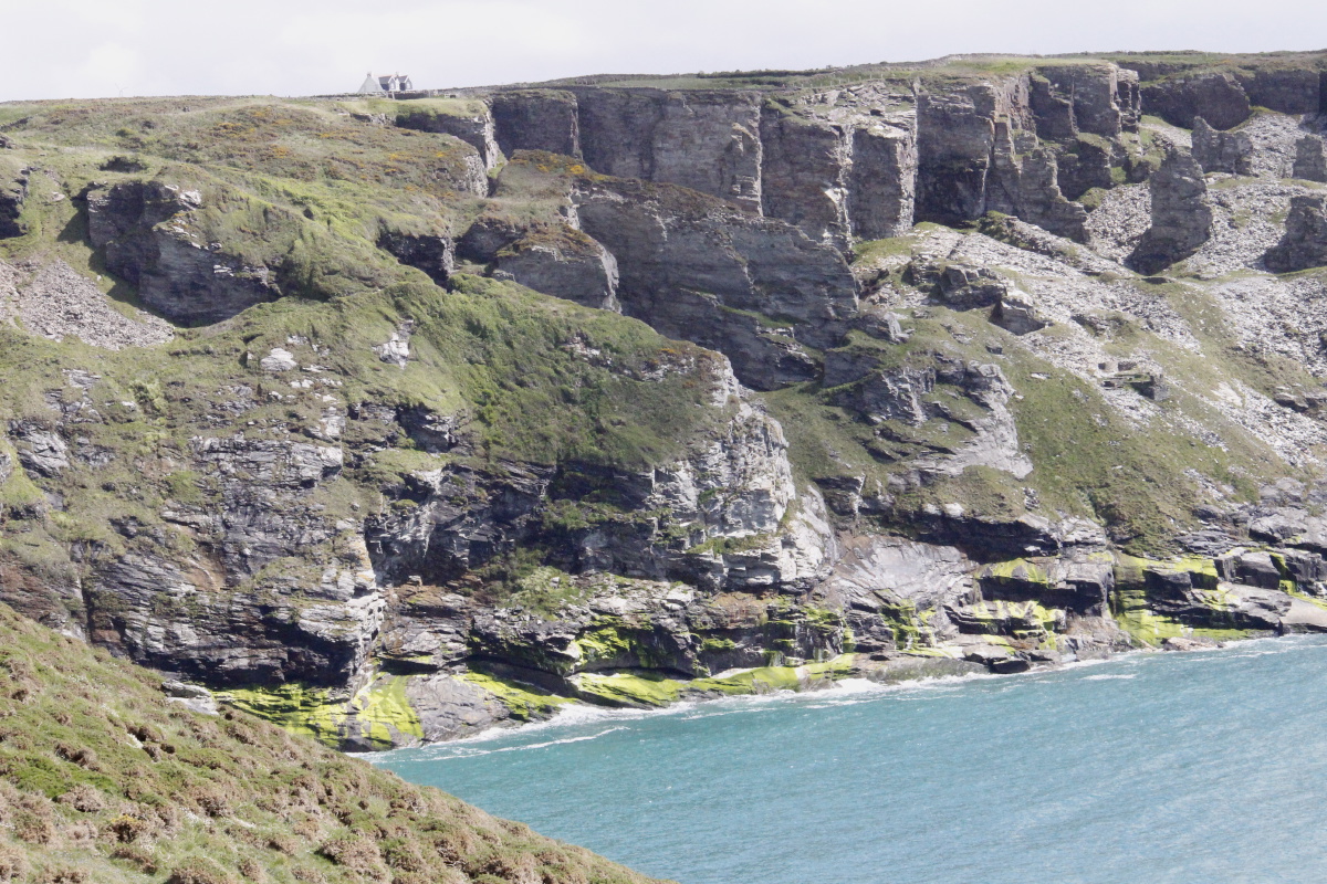
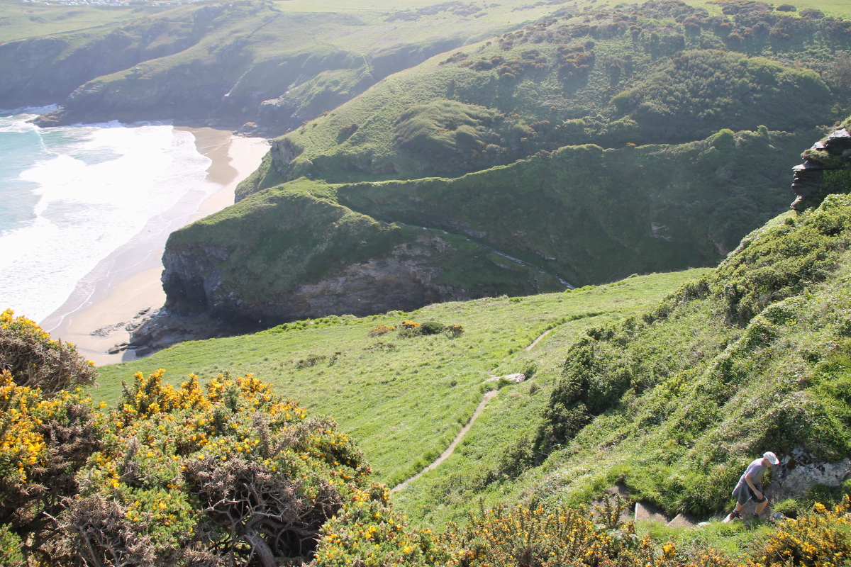
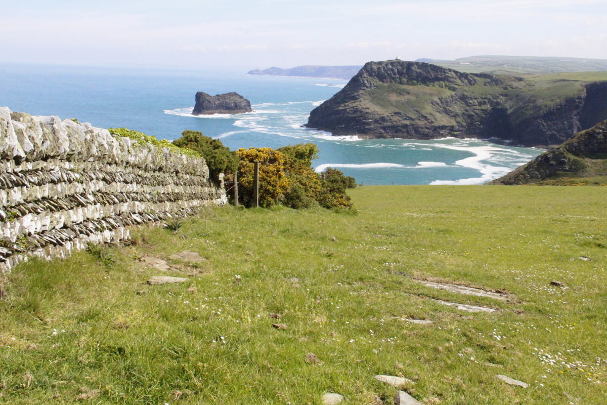
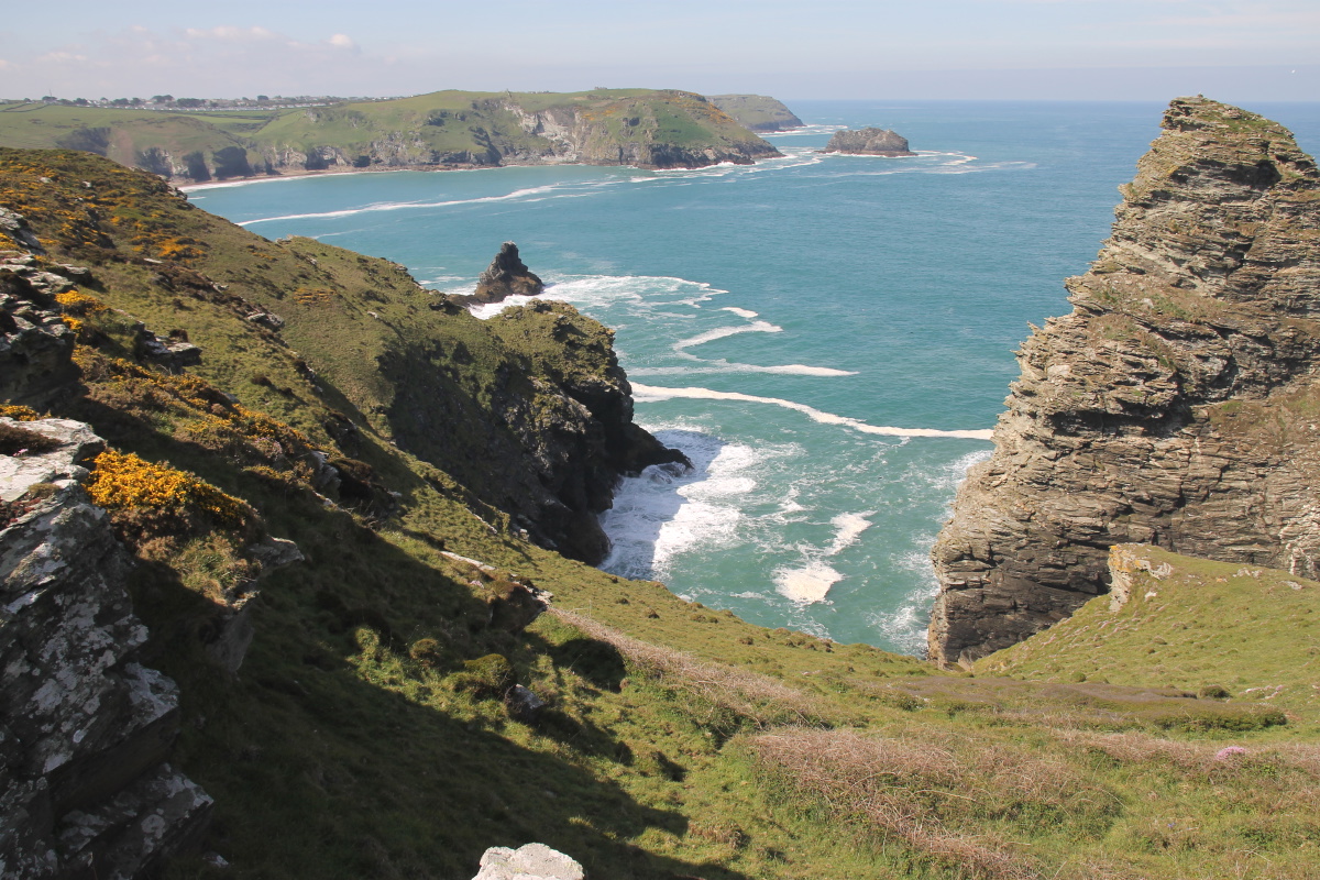
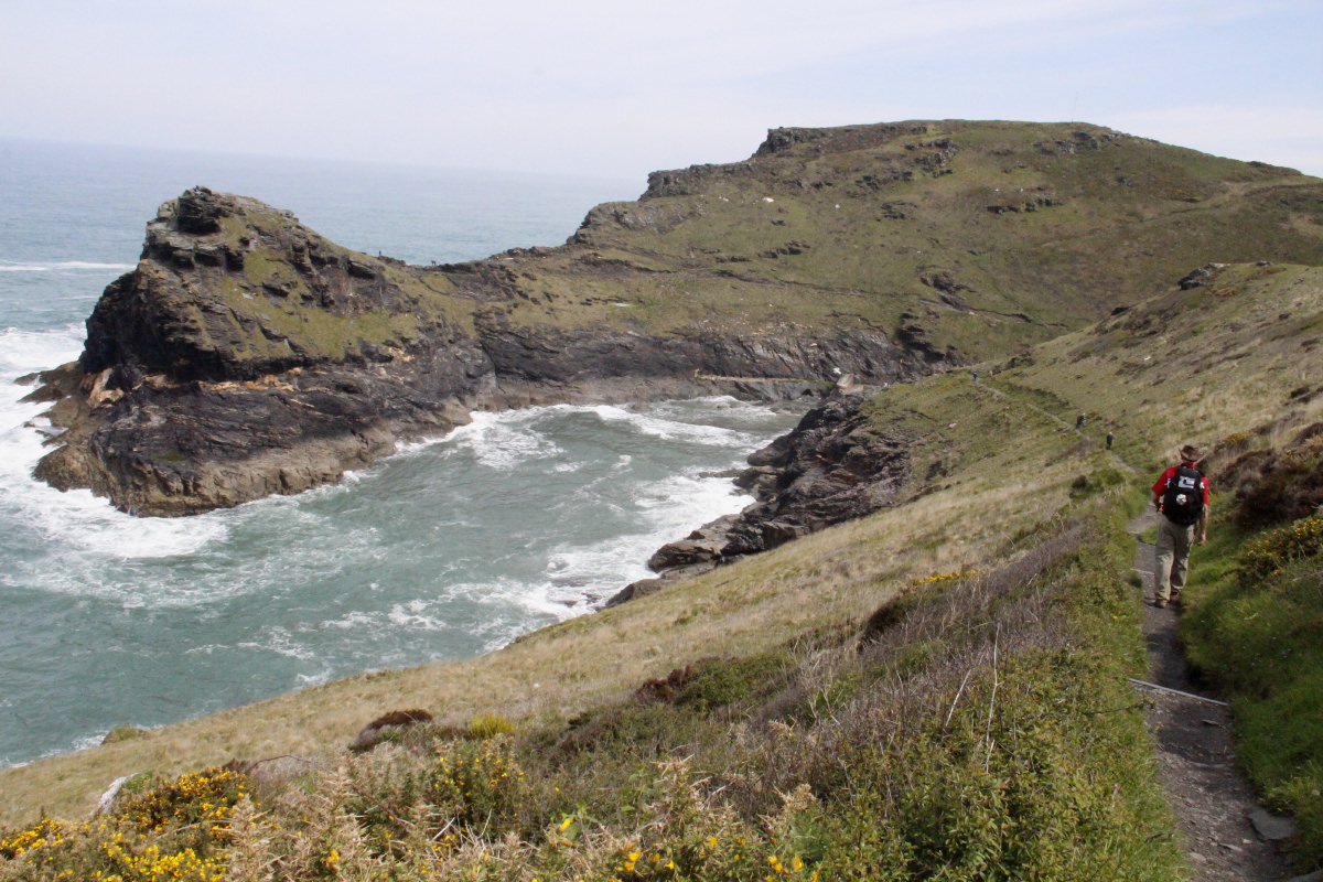
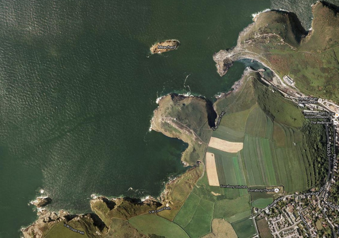
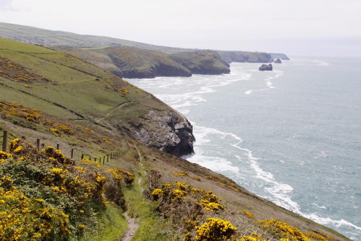
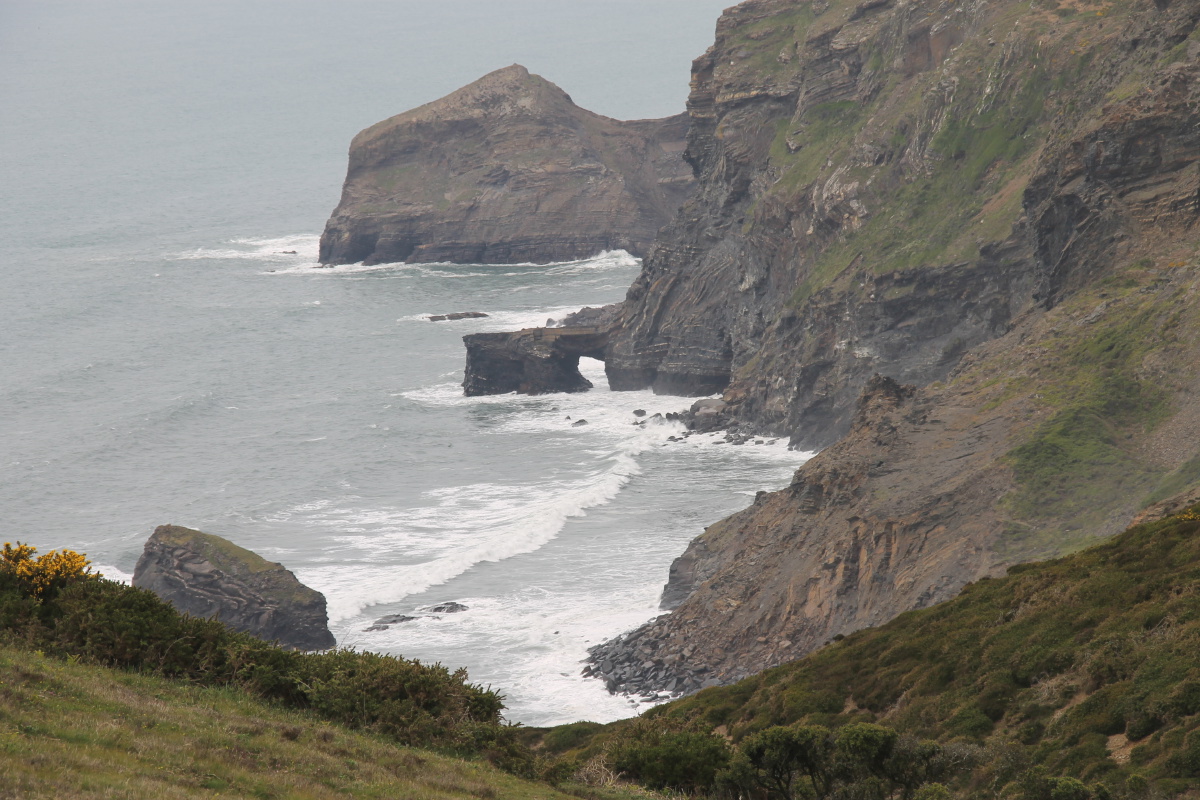
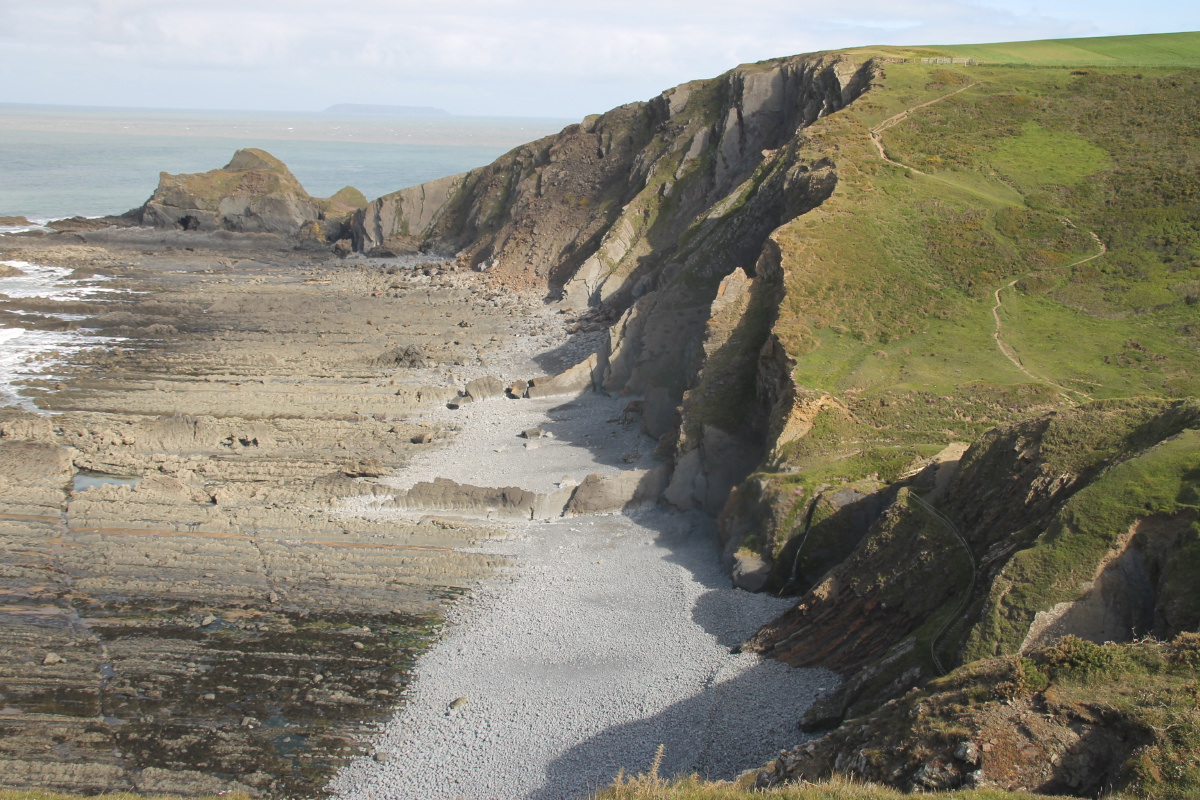
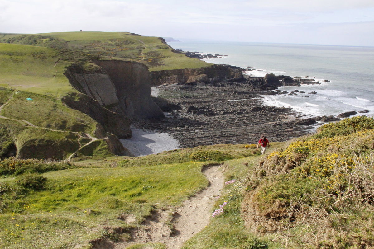
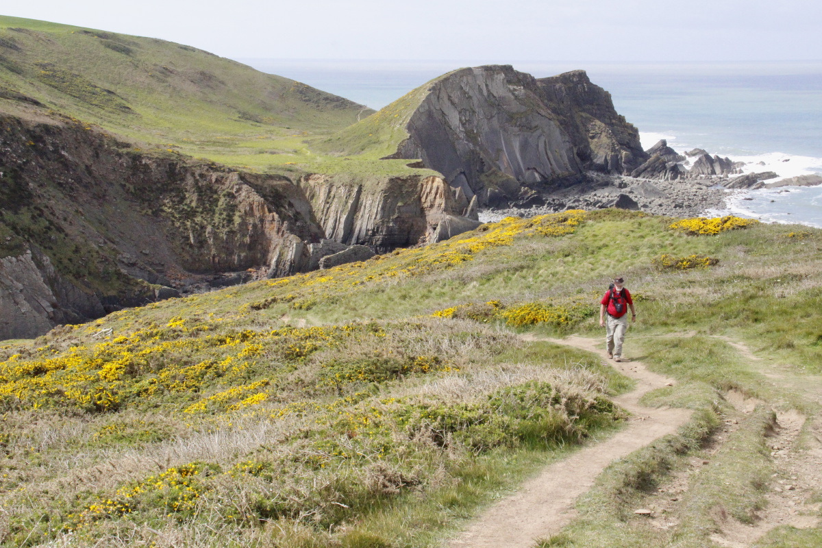
3. Tintagel to Crackington Haven
This was c. 18km and a surprising 1065m (the books' figure, not ours).
The first segment, Tintagel to Boscastle, is arguably the very best of the whole
coastal path.
We then picked up the car, drove back to Bude and stayed overnight with Chris.
(Without Chris' logistical help, we'd have faced a long and arduous 17km and
760m walk to Bude).
|
|
|
|
Overview of the walk |
Satellite image of
Tintagel to Boscastle |
Typical path 'twixt
fields and cliffs |
View ahead of the
first half of the walk |
|
|
|
|
Gorge ahead |
Bossiney Haven below |
Scenic coastline |
Foxglove, fence, view |
|
|
|
|
Back to sandy cove |
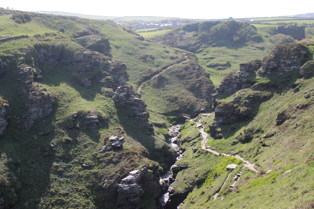
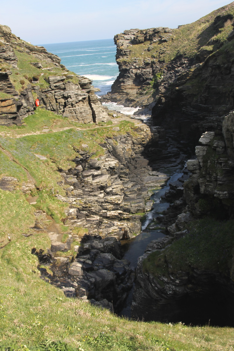
Rocky Valley,
upper ... |
... and lower |
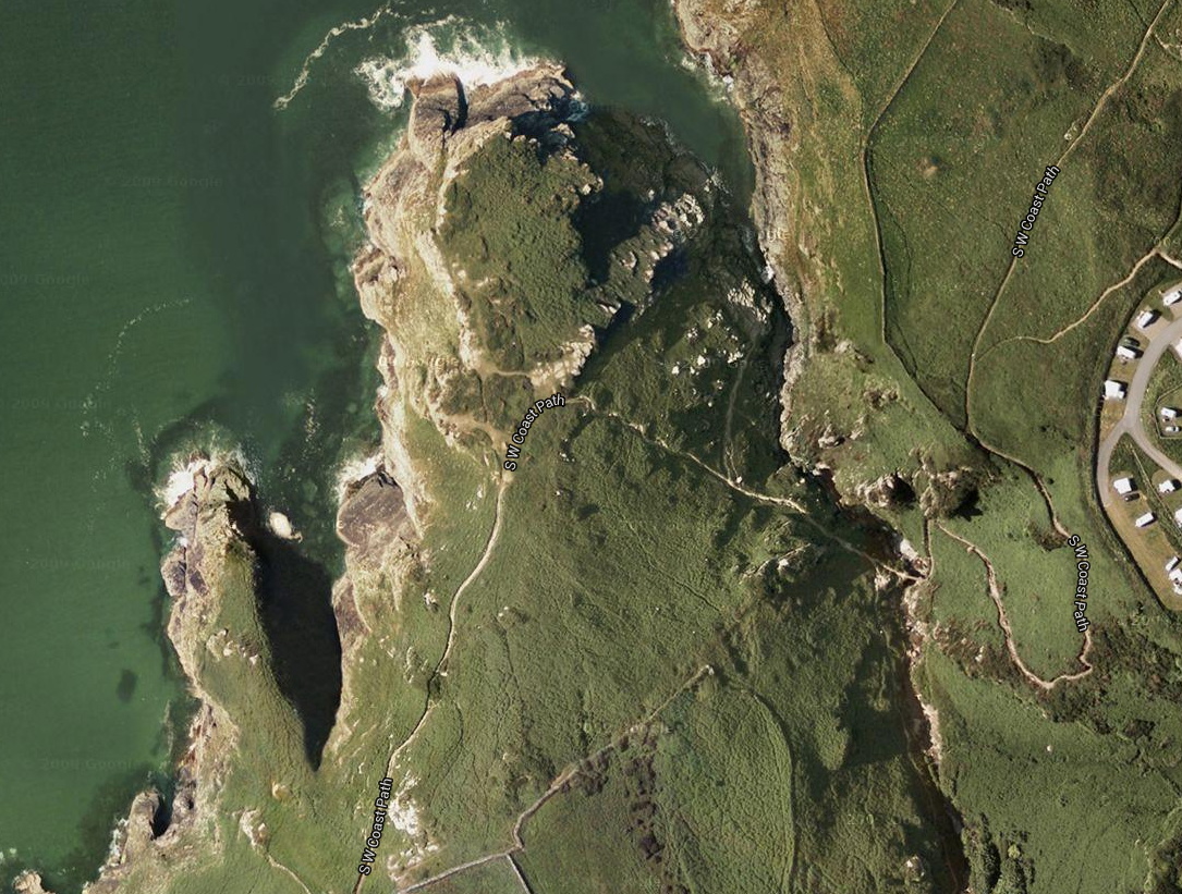
Satellite image
of the gorge |
|
|
|
|
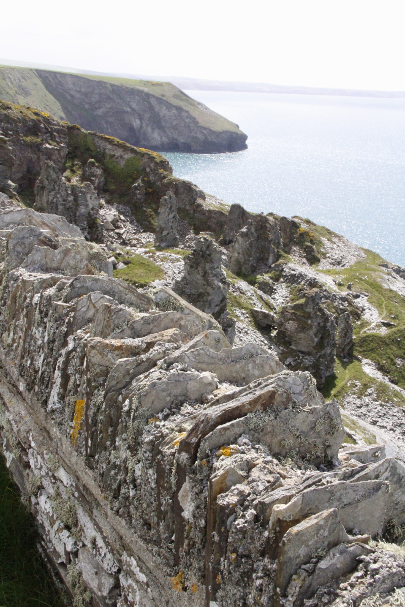
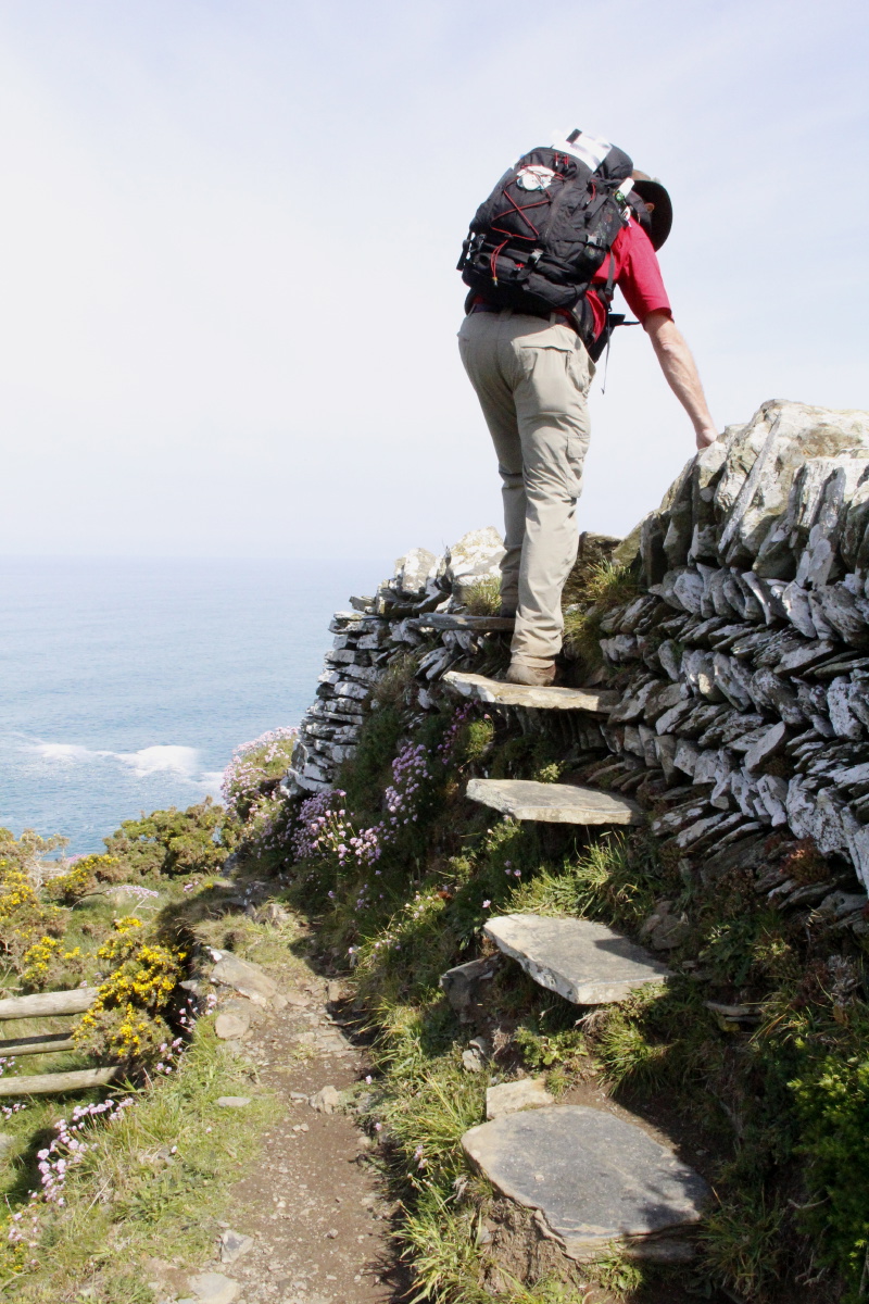
Stepped slate stile |
Stepped slate fence
and view |
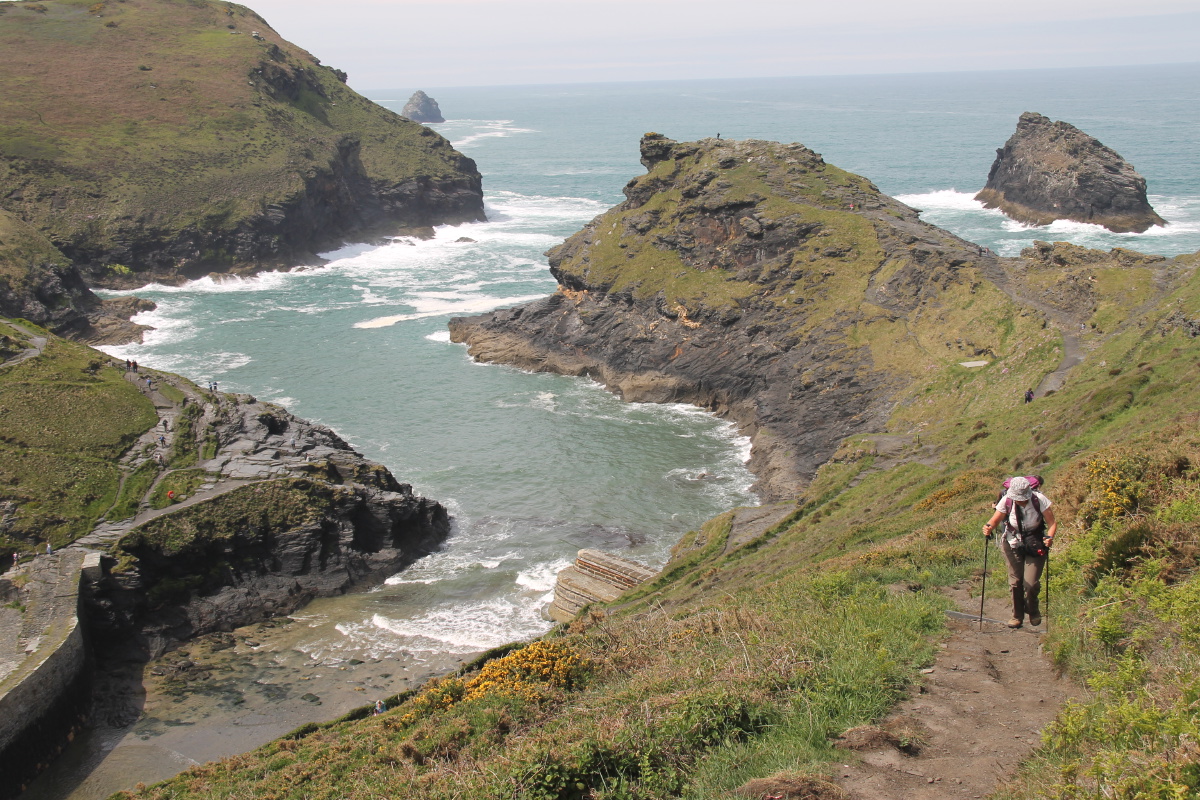
Back to Tintagel |
Forward to Boscastle
with Meachard offshore |
|
|
|
|
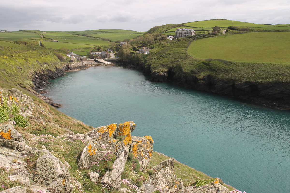
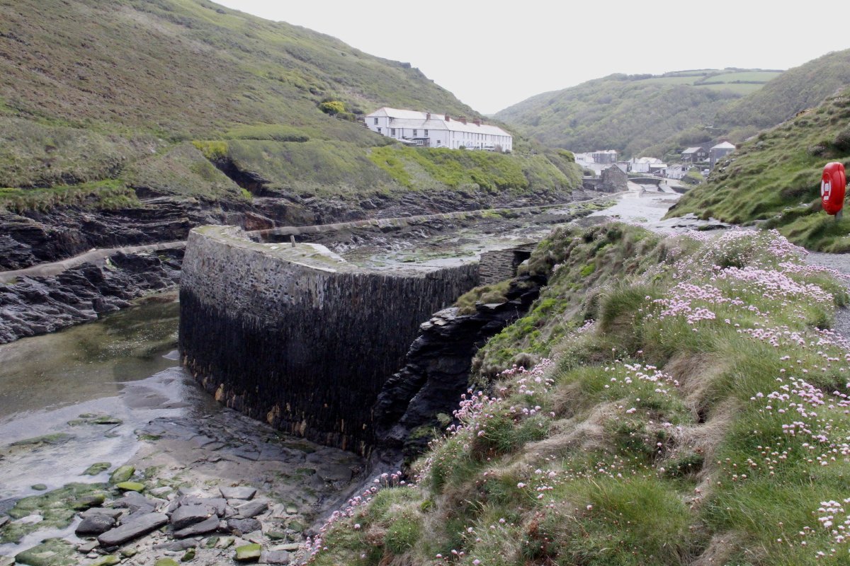
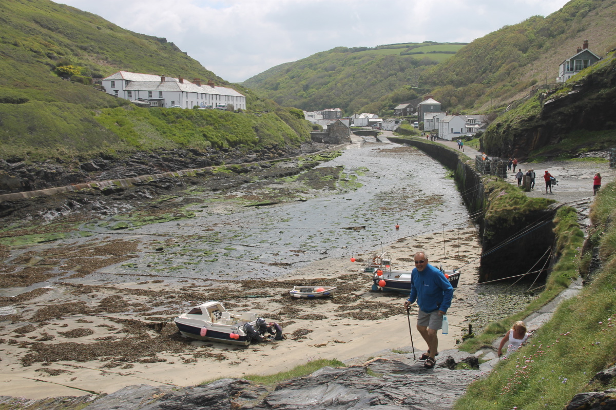
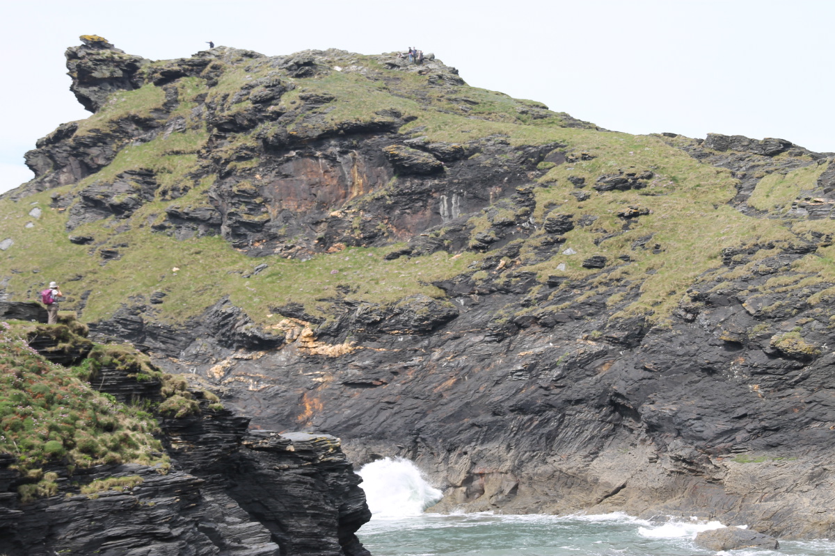
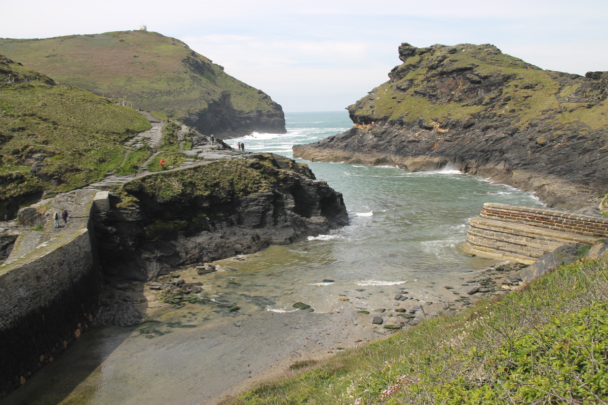
Boscastle Harbour
Entrance |
The Outer Harbour |
The Inner Harbour,
at low tide |
Satellite image |
|
|
|
|
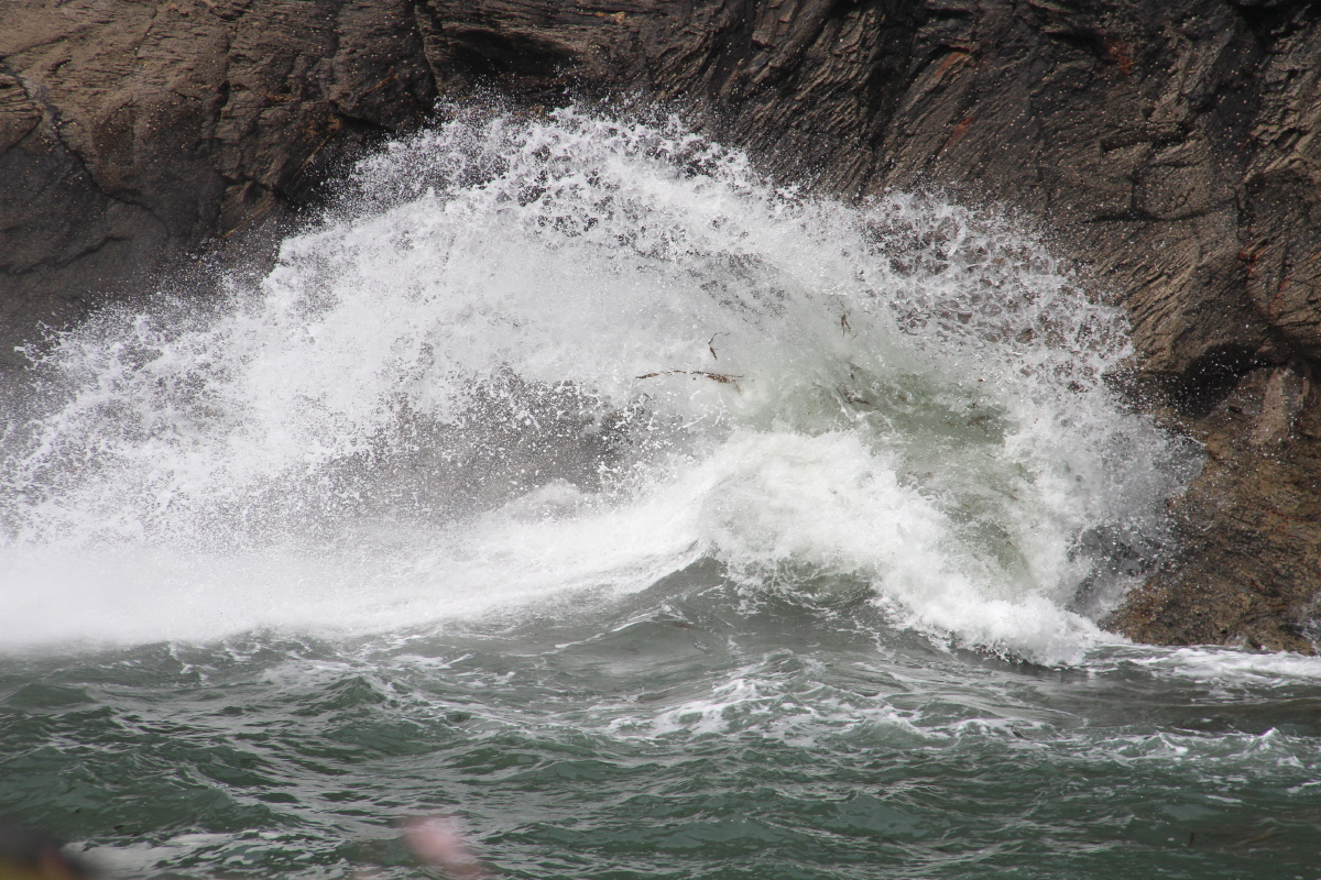
Linda shooting a wave
at the harbour mouth |
The result |
After a gelati break ... |
... back on the path |
|
|
|
|
Looking back
to Boscastle |
Brooding cliffs |
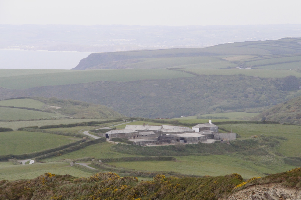
North toward
Crackington Haven ... |
... and zoomed in on
Trevigue Farm |
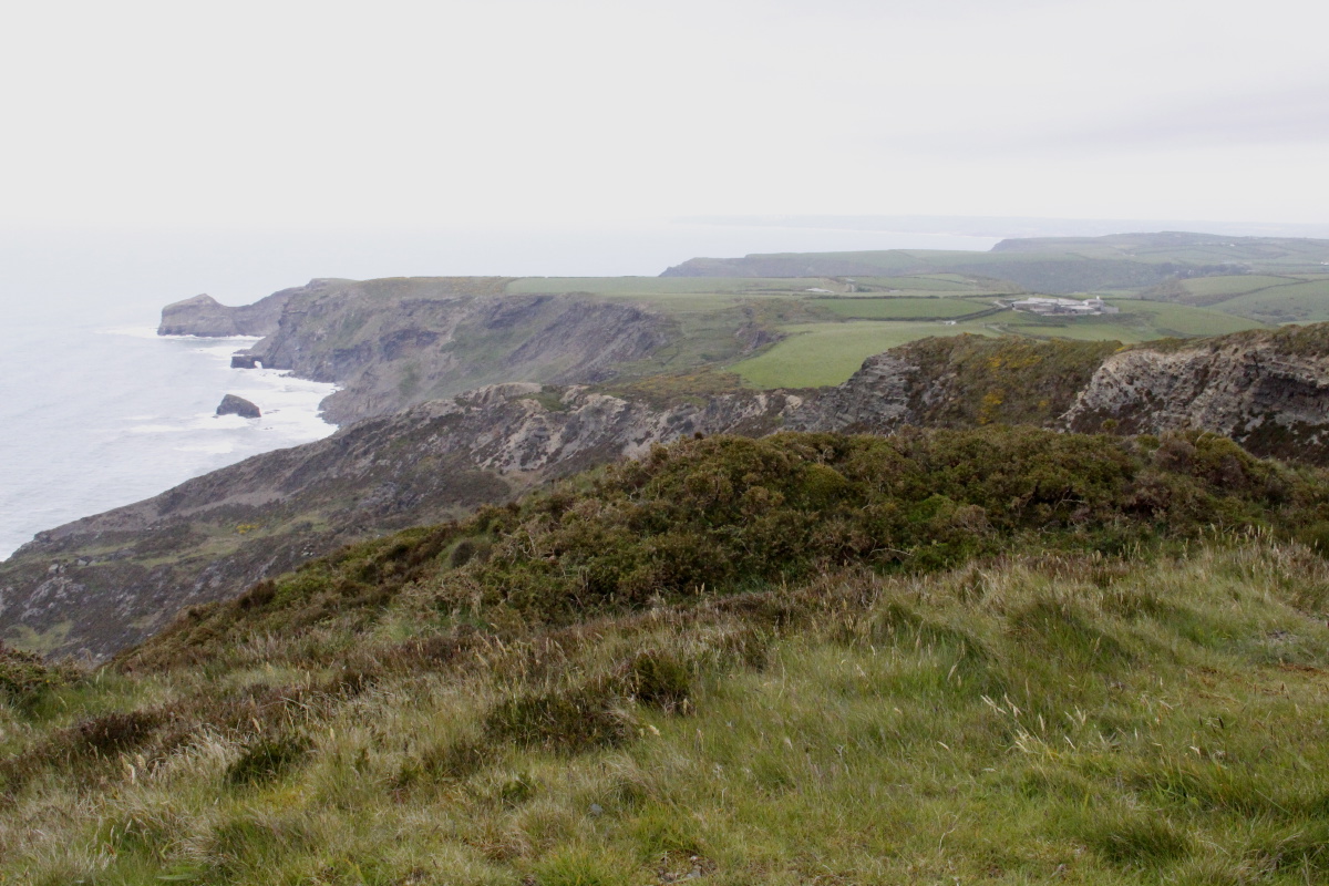
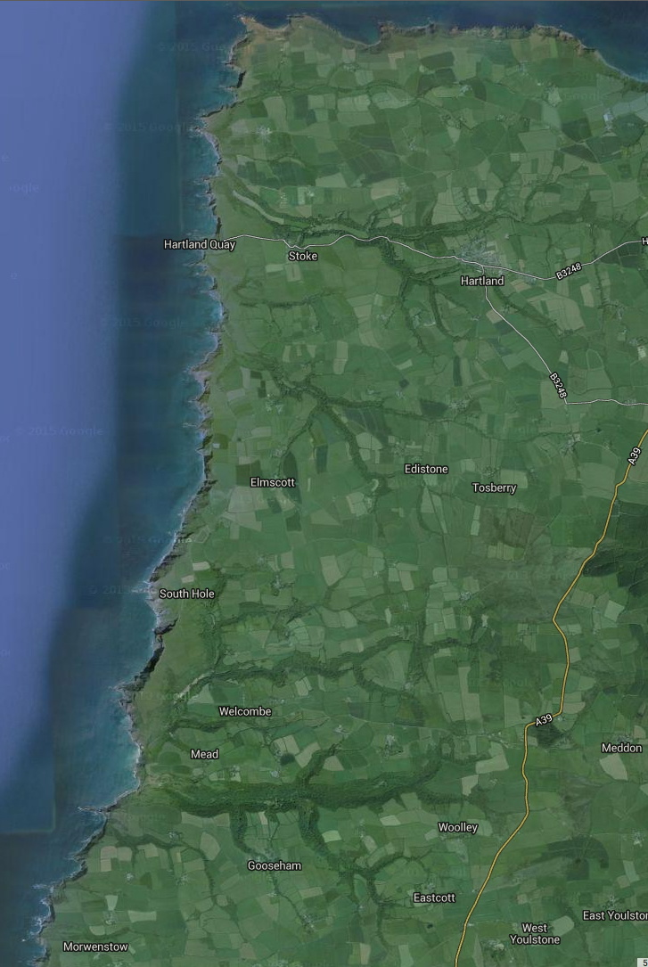
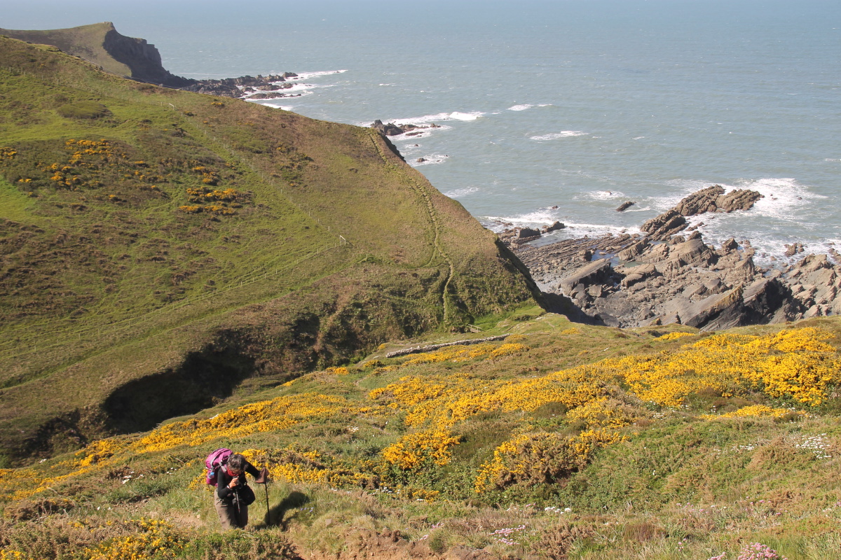
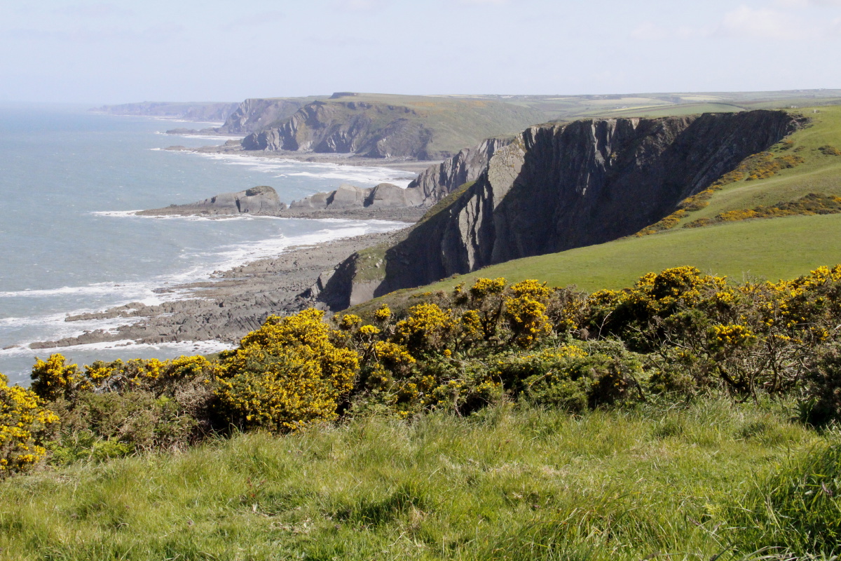
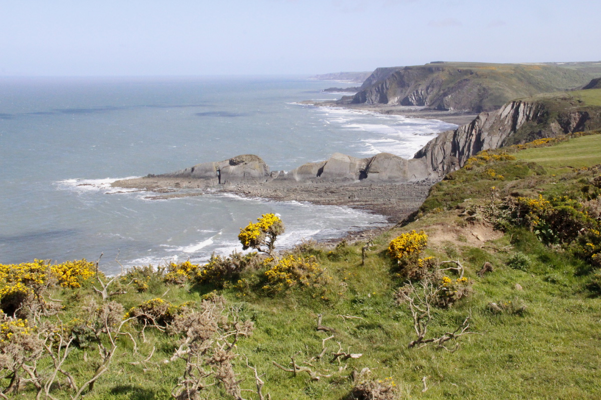
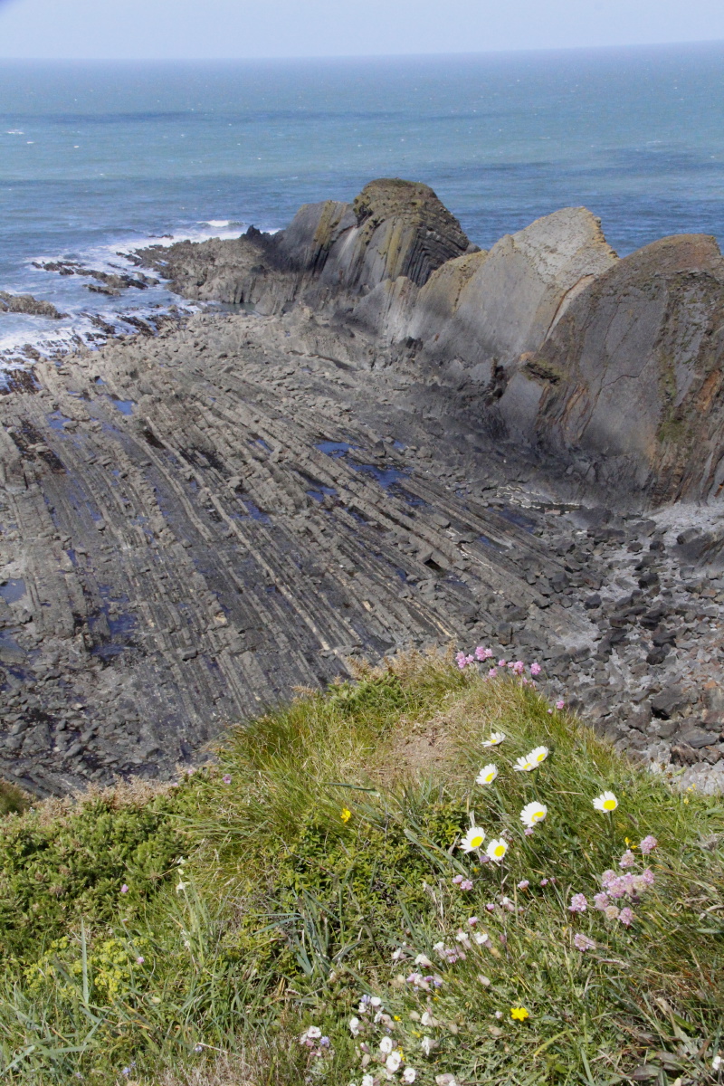
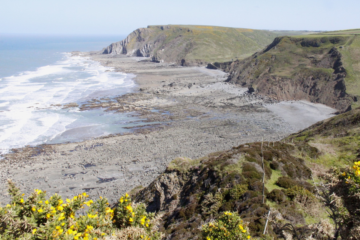
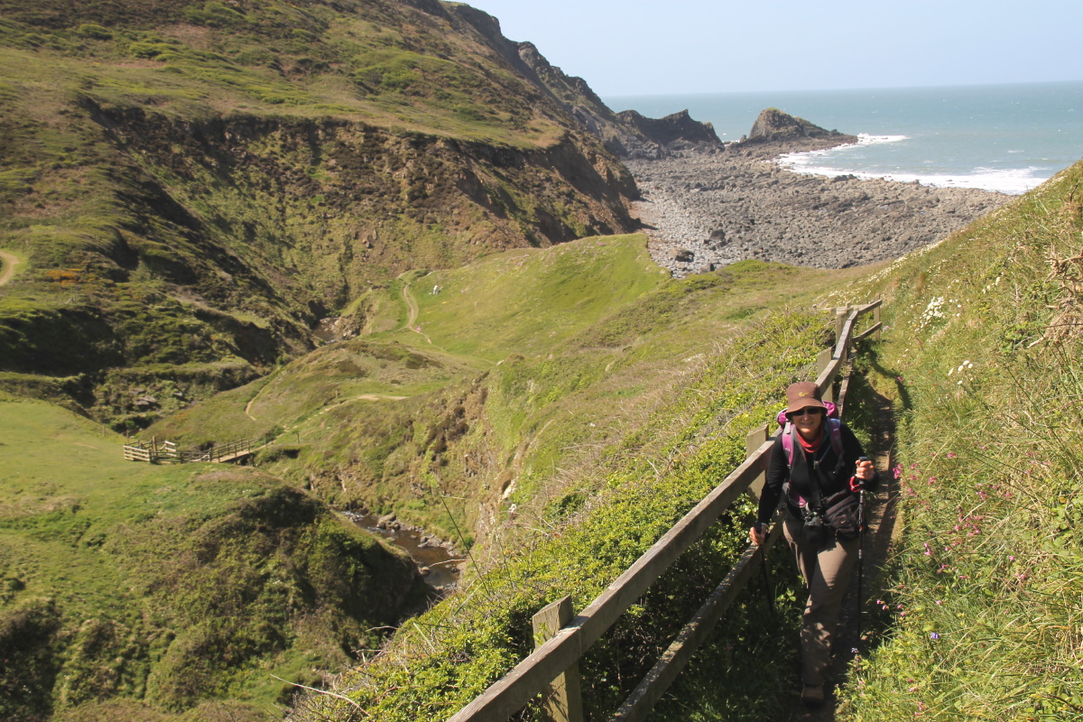
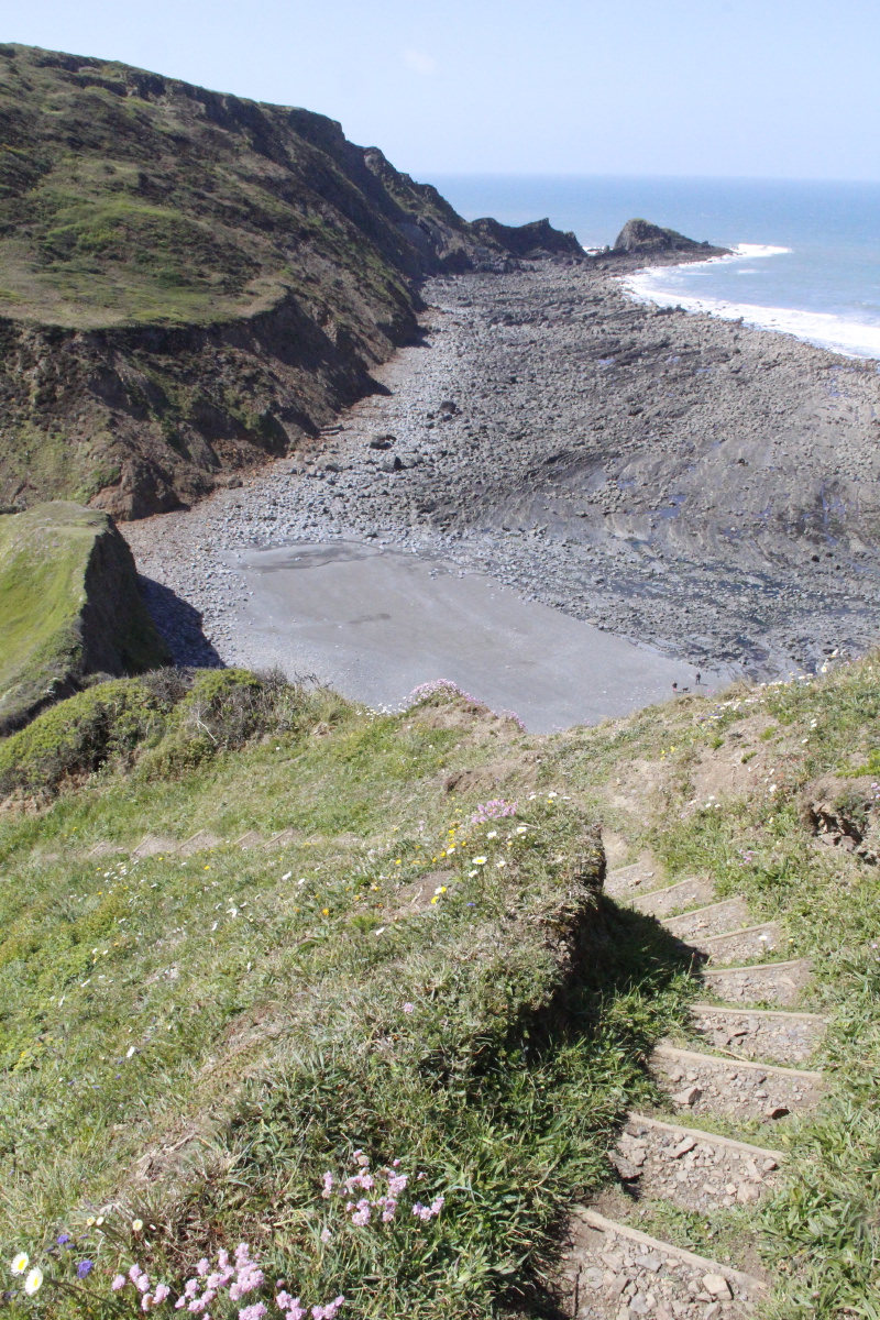
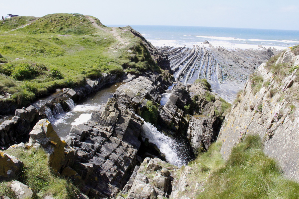
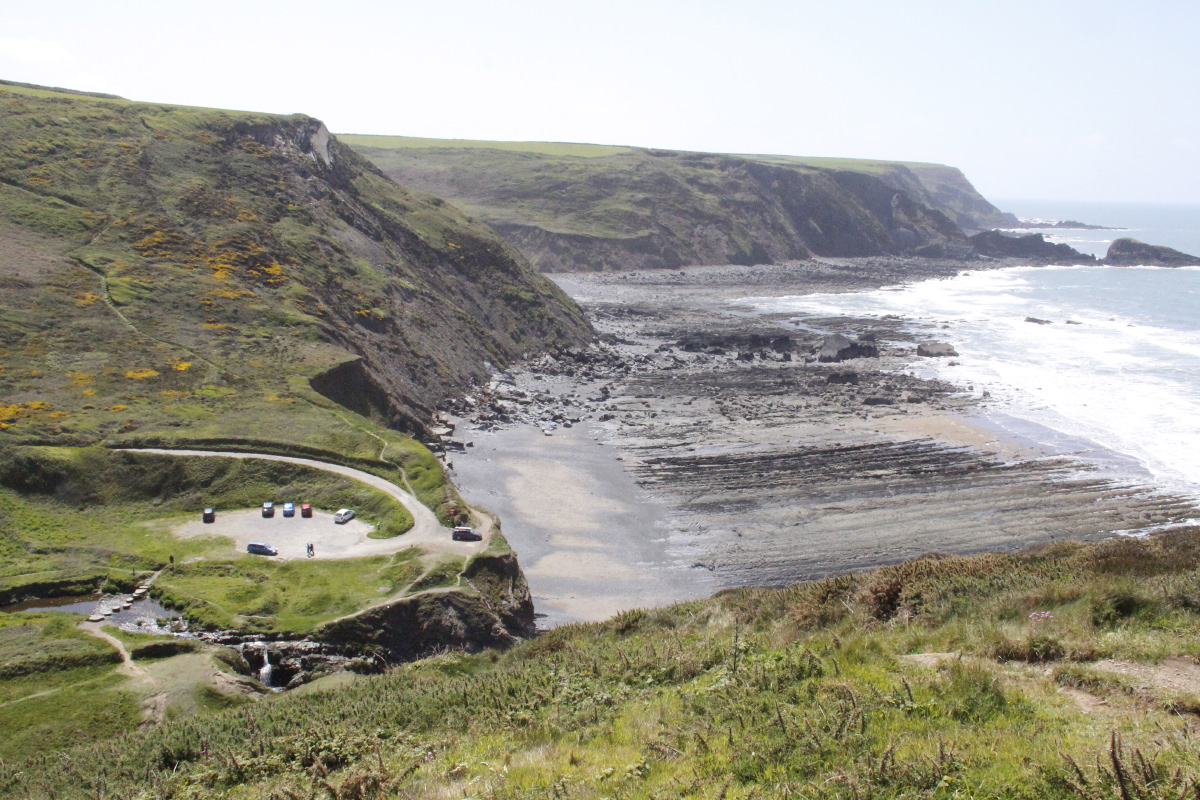
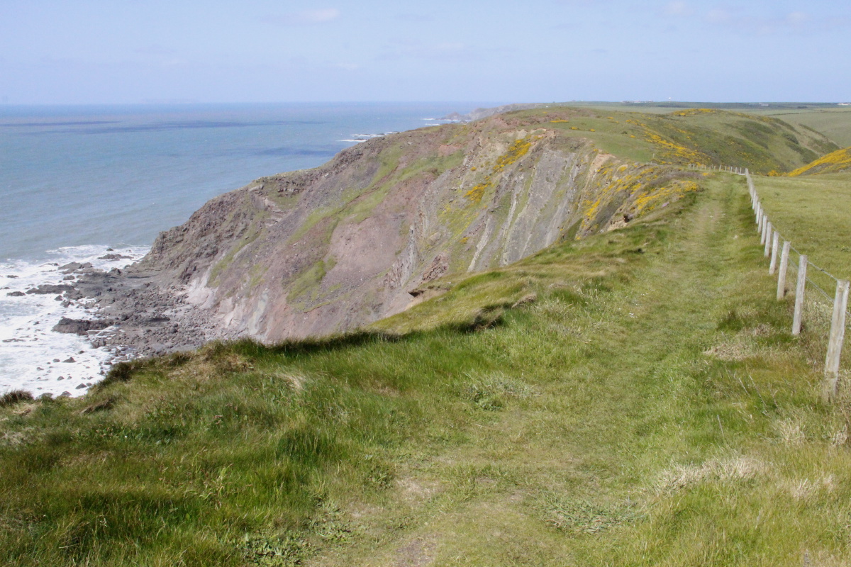
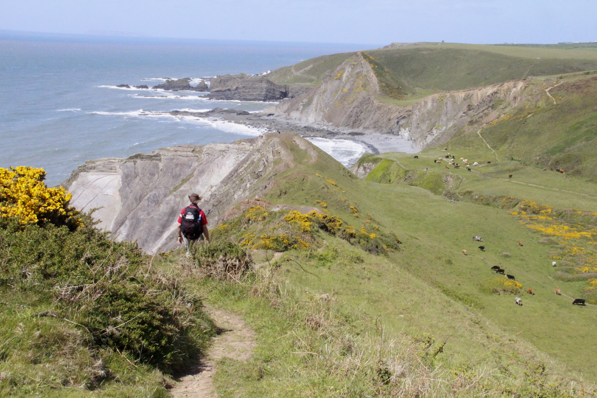
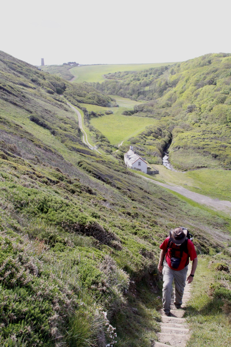
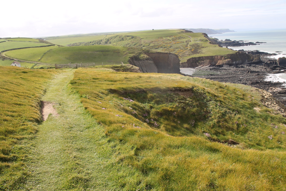
4. Morwenstow to Hartland Quay
We dropped the car at Clovelly, and Chris's brother Anthony picked us up and dropped us at Morwenstow.
This enabled us to reduce the very long and arduous walk from Bude to Hartland Quay by about 40%.
The resulting walk was c. 14km and 750m, with some striking segments, maybe
the second-best segment of our walk.
|
|
|
|
Satellite image
of the walk |
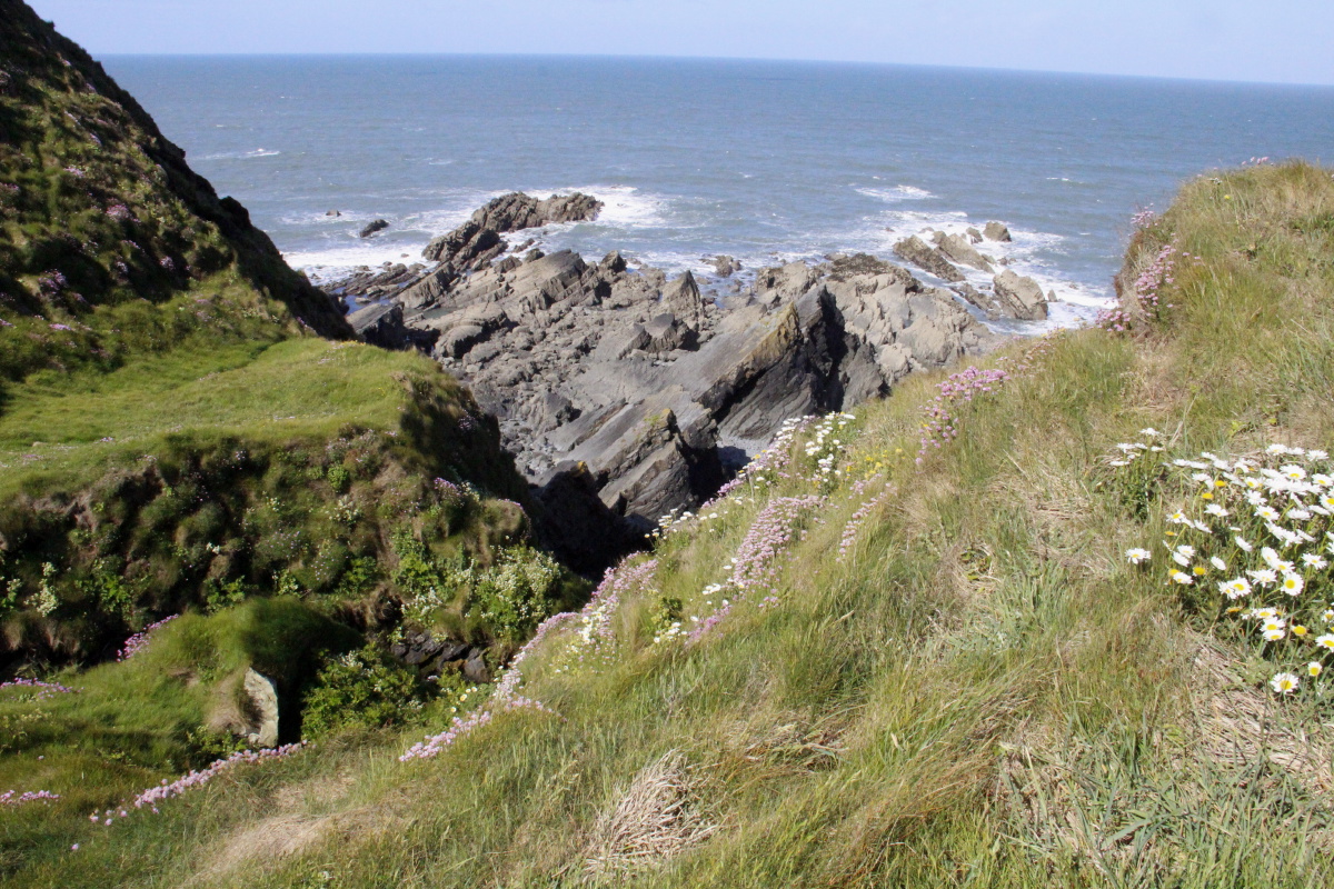
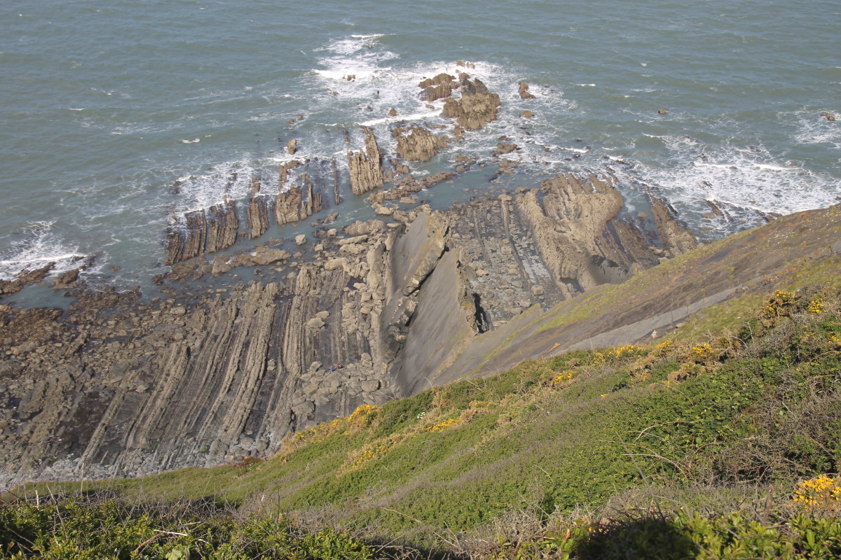
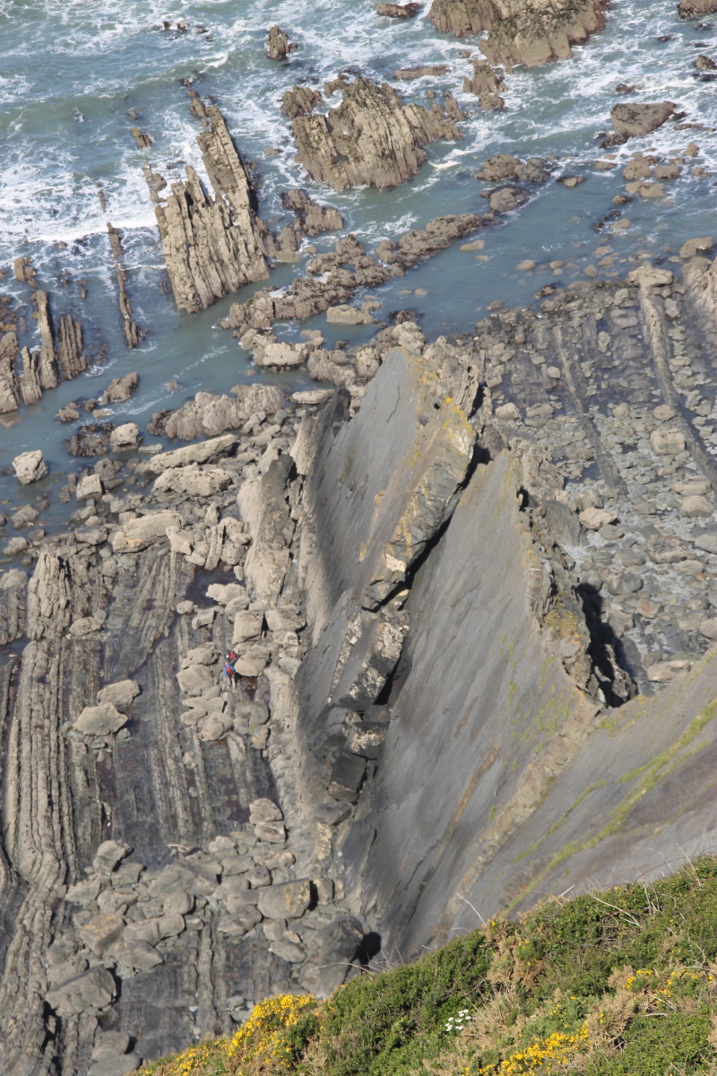
Cleft, thrift |
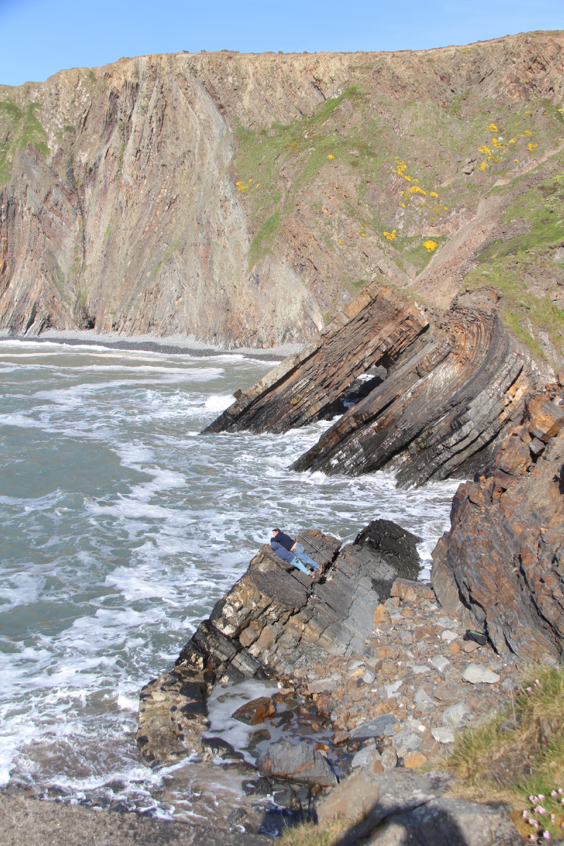
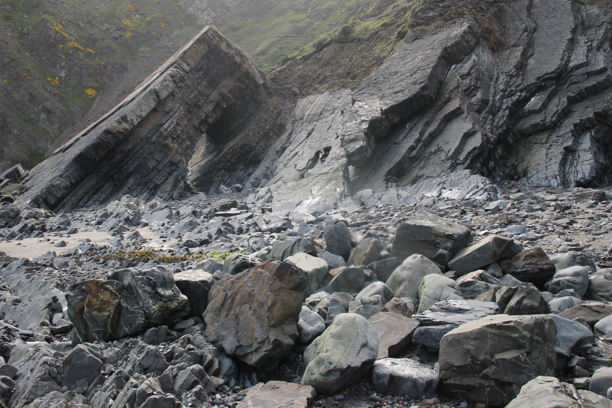
Vertical strata ... |
... in many sections |
|
|
|
|
A(nother) flower stop |
As usual, directly
up the next headland |
View North to
Welcombe Mouth |
Gull Rock and
Devil's Hole |
|
|
|
|
Thrift, rockshelf,
slate slabs ... |
... and up the
fall-line again |
Overlooking
Marsden Mouth Beach ... |
... and farm above it |
|
|
|
|
Up the other side |
Fairly steep,
but well-made |
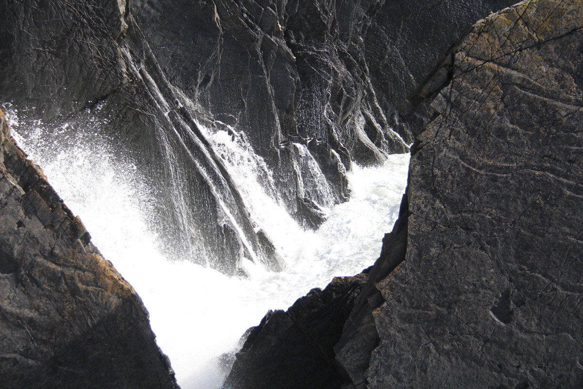
Waterfall ... |
... at Welcombe Mouth |
|
|
|
|
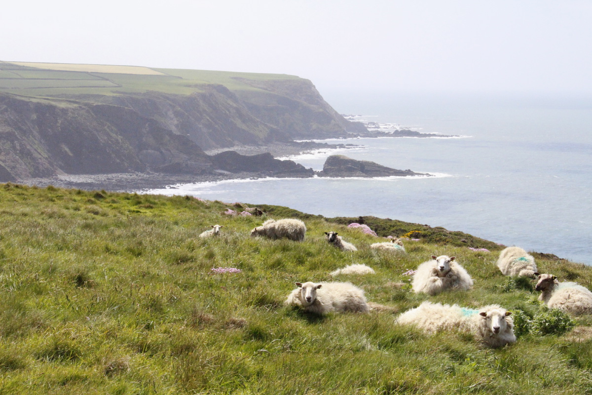
Sheep |
2 species of thrift
above rock platform ... |
... and looking inland |
Fields, path,
red cliffs |
|
|
|
|
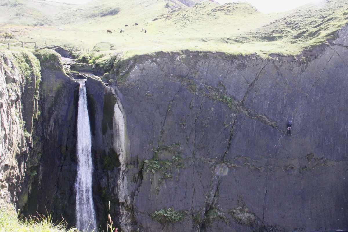
Path down to
Speke's Mill |
The slate face |
Speke's Mill Waterfall,
slate-face climber |
Grazing above the fall |
|
|
|
|
Hartland's Quay
Bedroom window view |
Wave effects ... |
... on a calm day |
Rock forms |
|
|
|
|
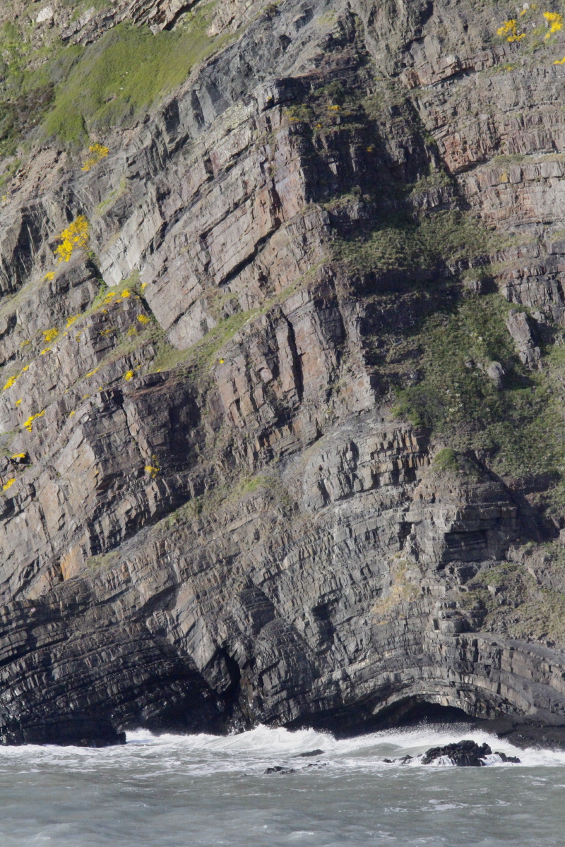
Eroded strata,
wave-tumbled boulders |
Cliff face,
with cave |
Australia |
Assyria |
|
|
|
|
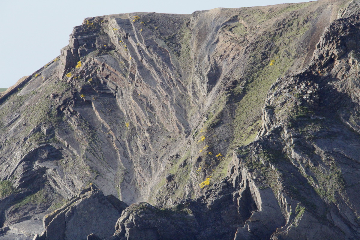
Cliff face |
Flower-flummoxed face |
Fuzz-face and
friend (Chris) |
Late shot,
north from Hartland Quay |
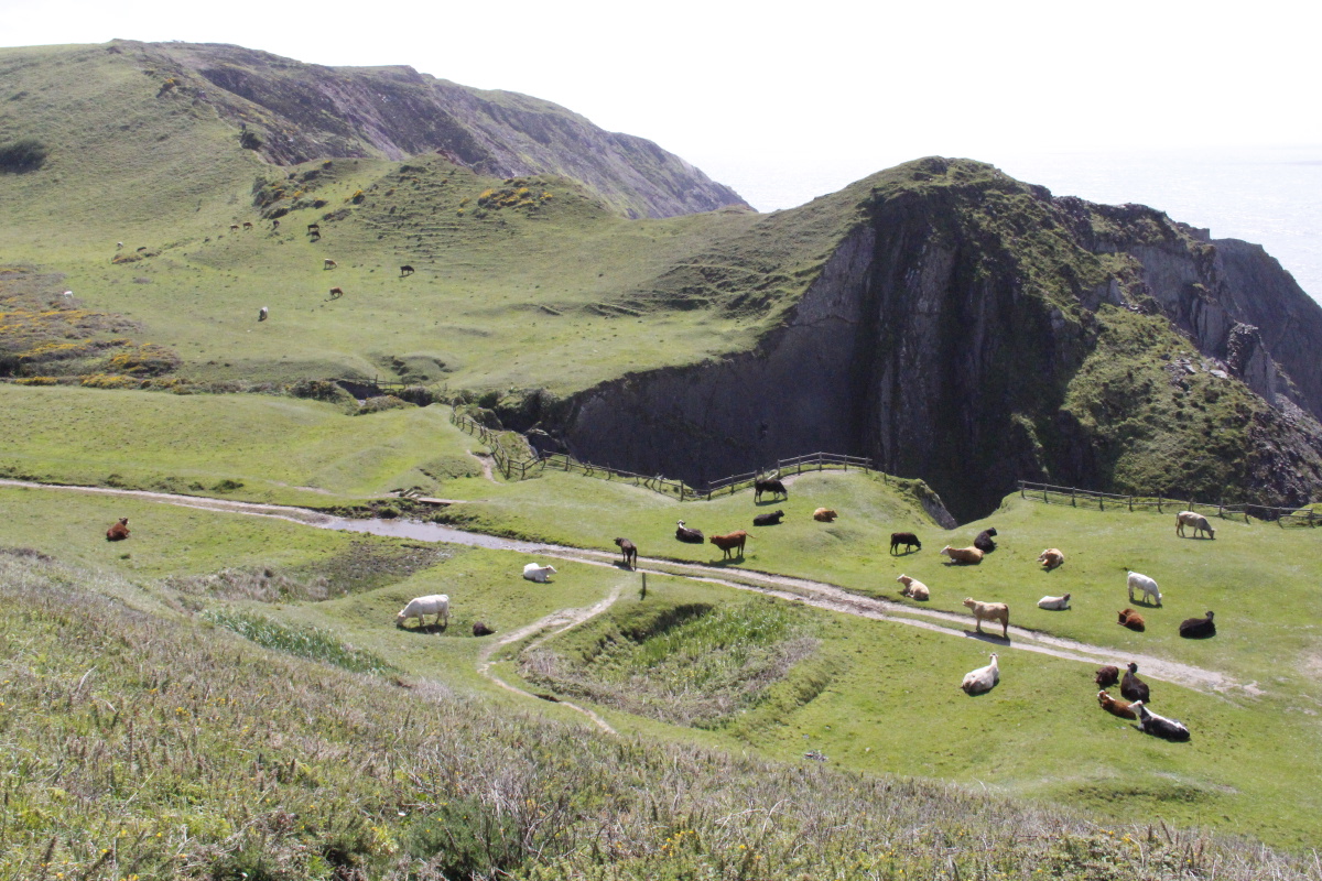
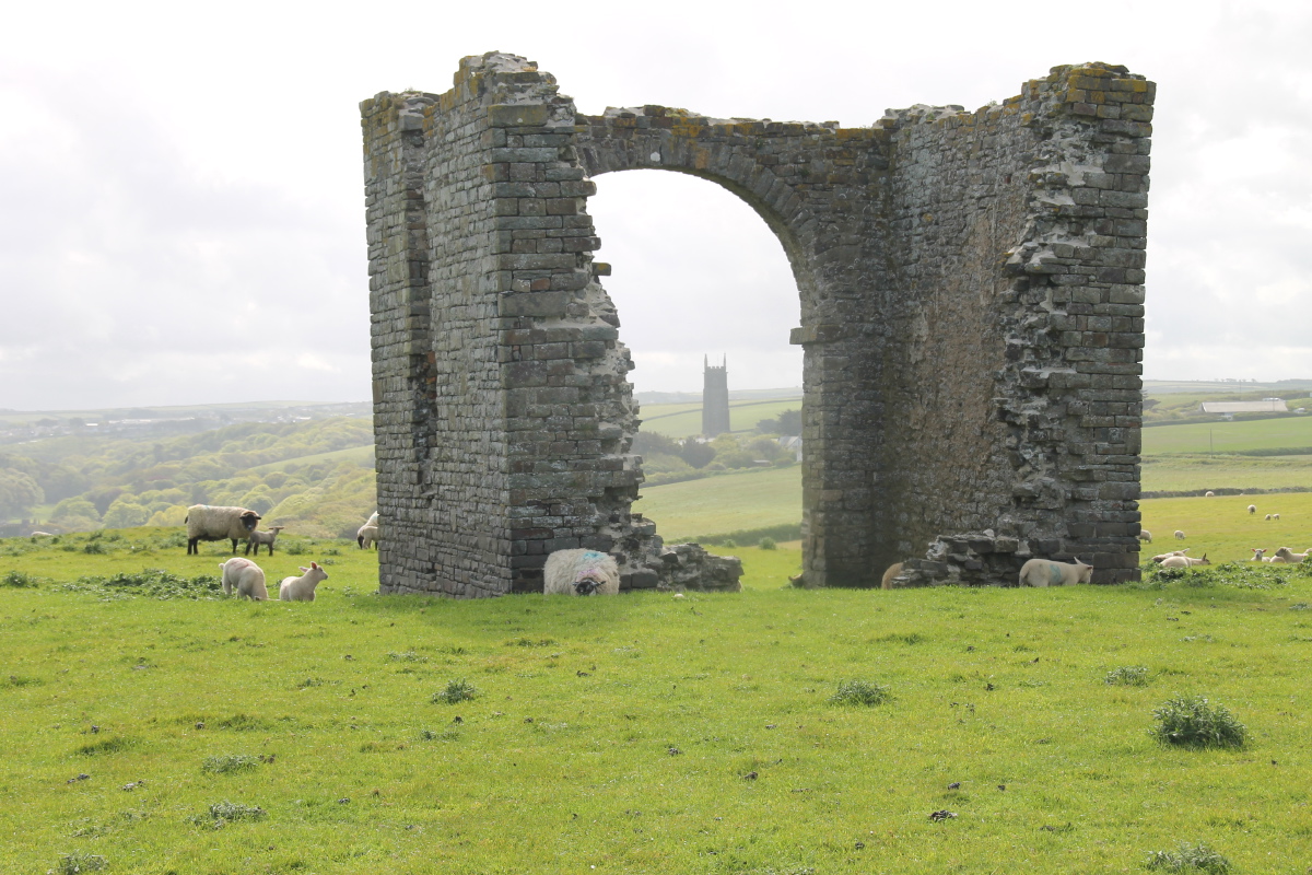
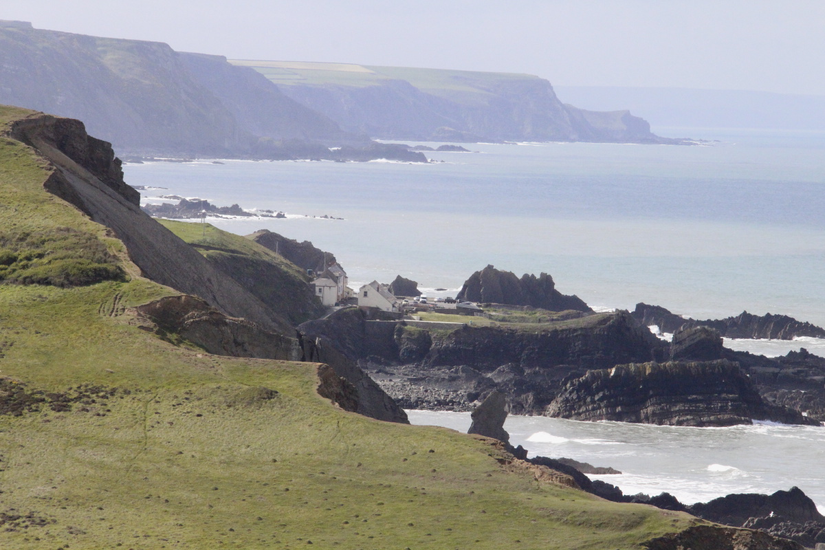
5. Hartland Quay to Clovelly (Sun 17 May)
This was c. 17km and 726m.
The first segment to Hartland Point is excellent, whereas the eastward segment into Clovelly
is partly pretty but partly a bit boring after the extravagant cliffs of the previous 4-1/2 days.
|
|
|
|
Satellite image
of the walk |
St Nectan's Hartland
through a folly |
Low tide, Lundy,
Roger's view ... |
... and Linda's view |
|
|
|
|
Steeply up,
from Abbey River ... |
... with views south |
Zooming back to
Hartland Quay |
Southward, flowers,
eroded strata,
cliffs, sea |
|
|
|
|
Fields, cliffs, and
the top of St Nectan's |
Cove,
and sheila |
Looking back to
a hidden valley |
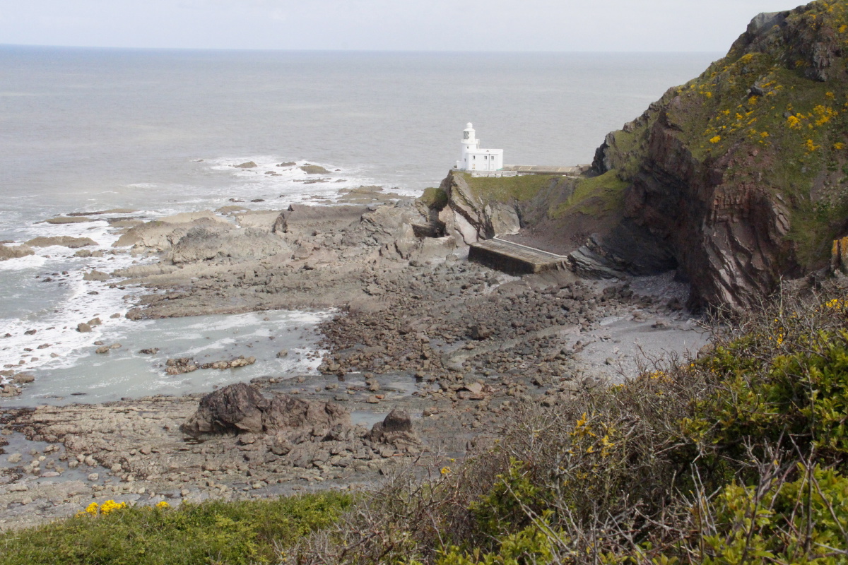
Hartland Lighthouse,
on the very corner |
|
|
|
|
Eastwards now,
red cliffs |
Protected and with
better soil, so wooded |
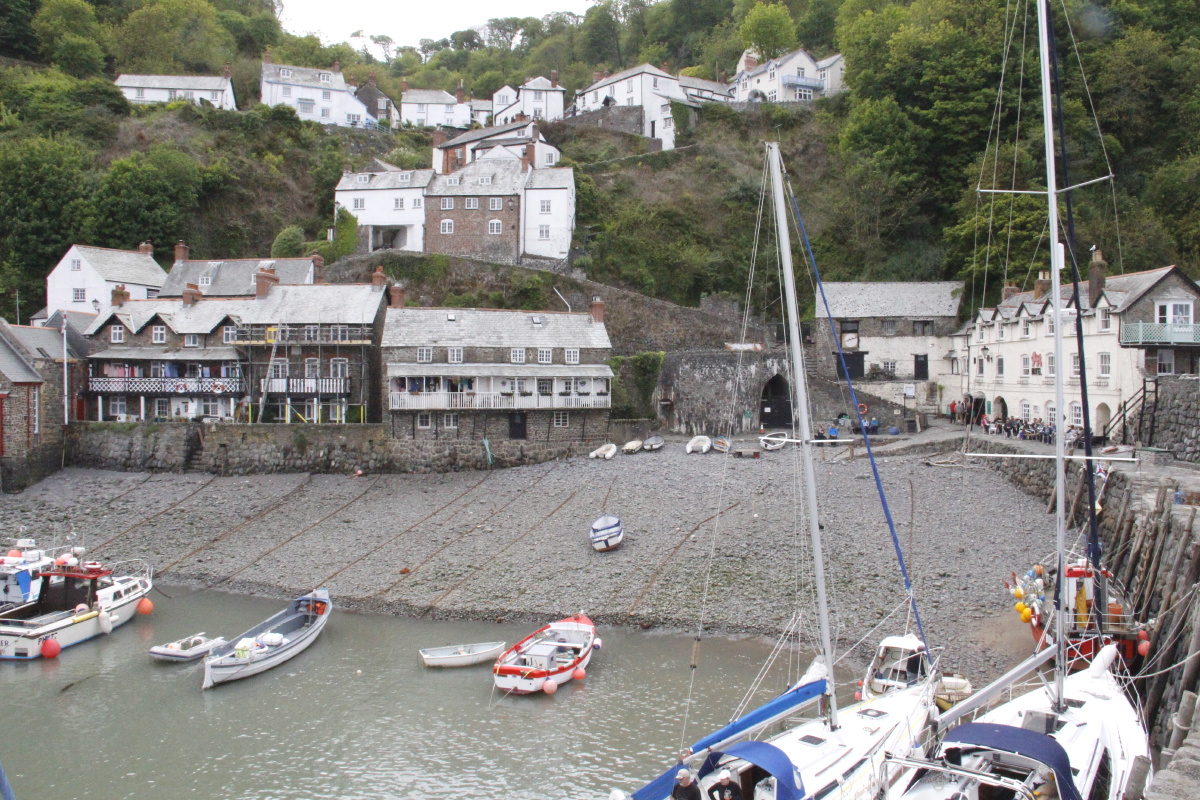
Clovelly harbour |
Clovelly village |
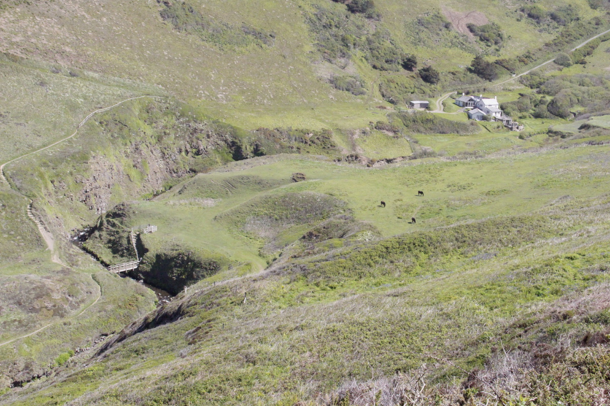
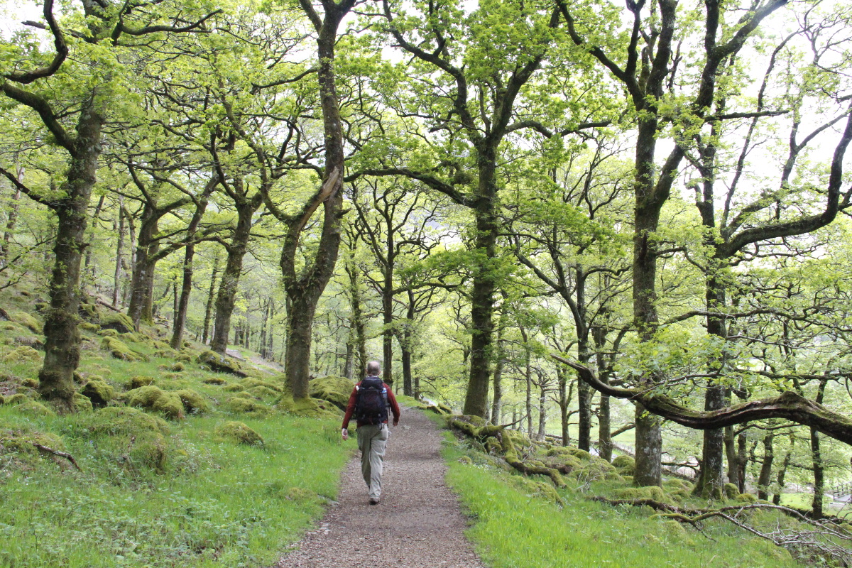
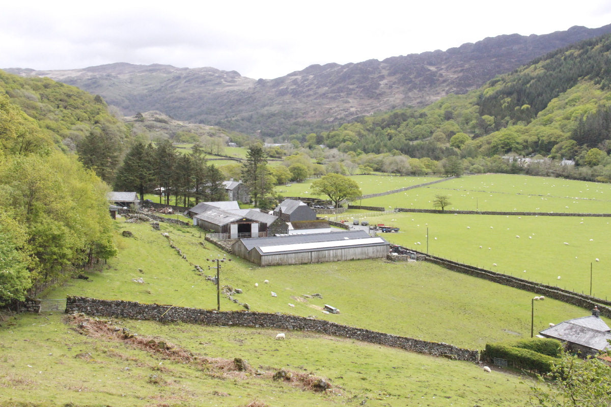
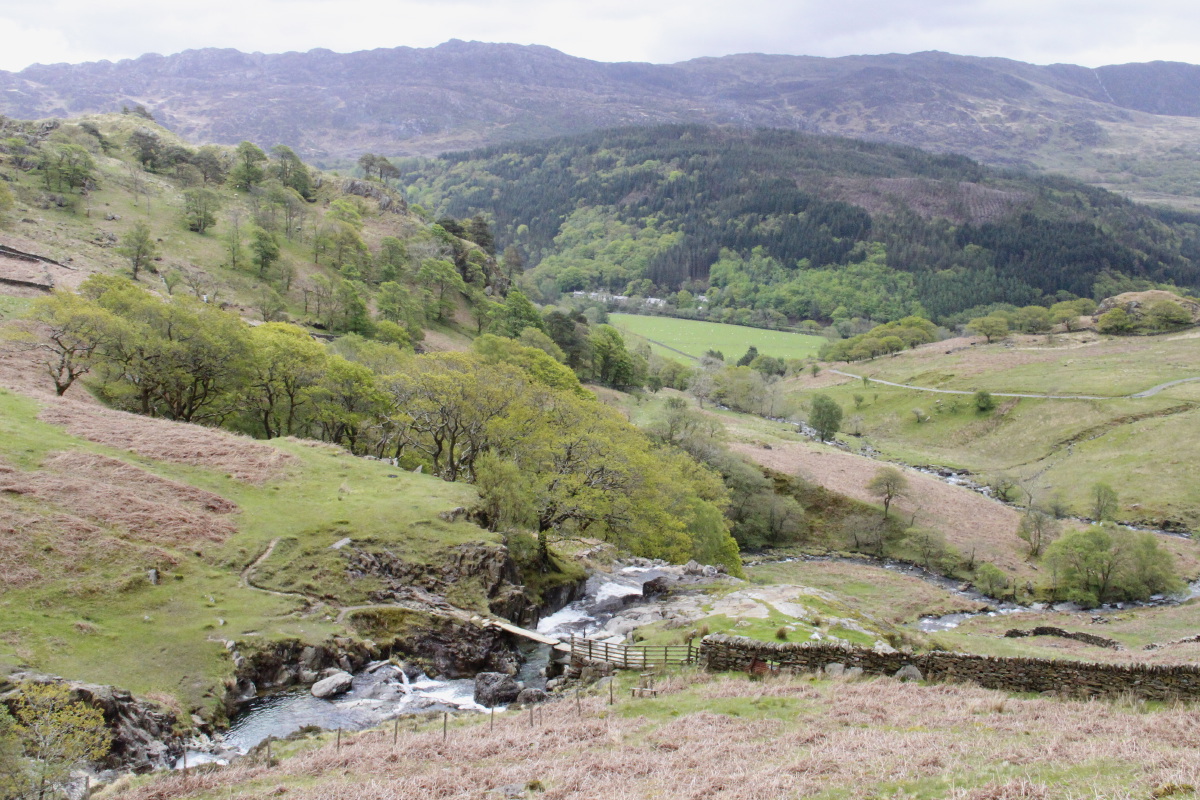
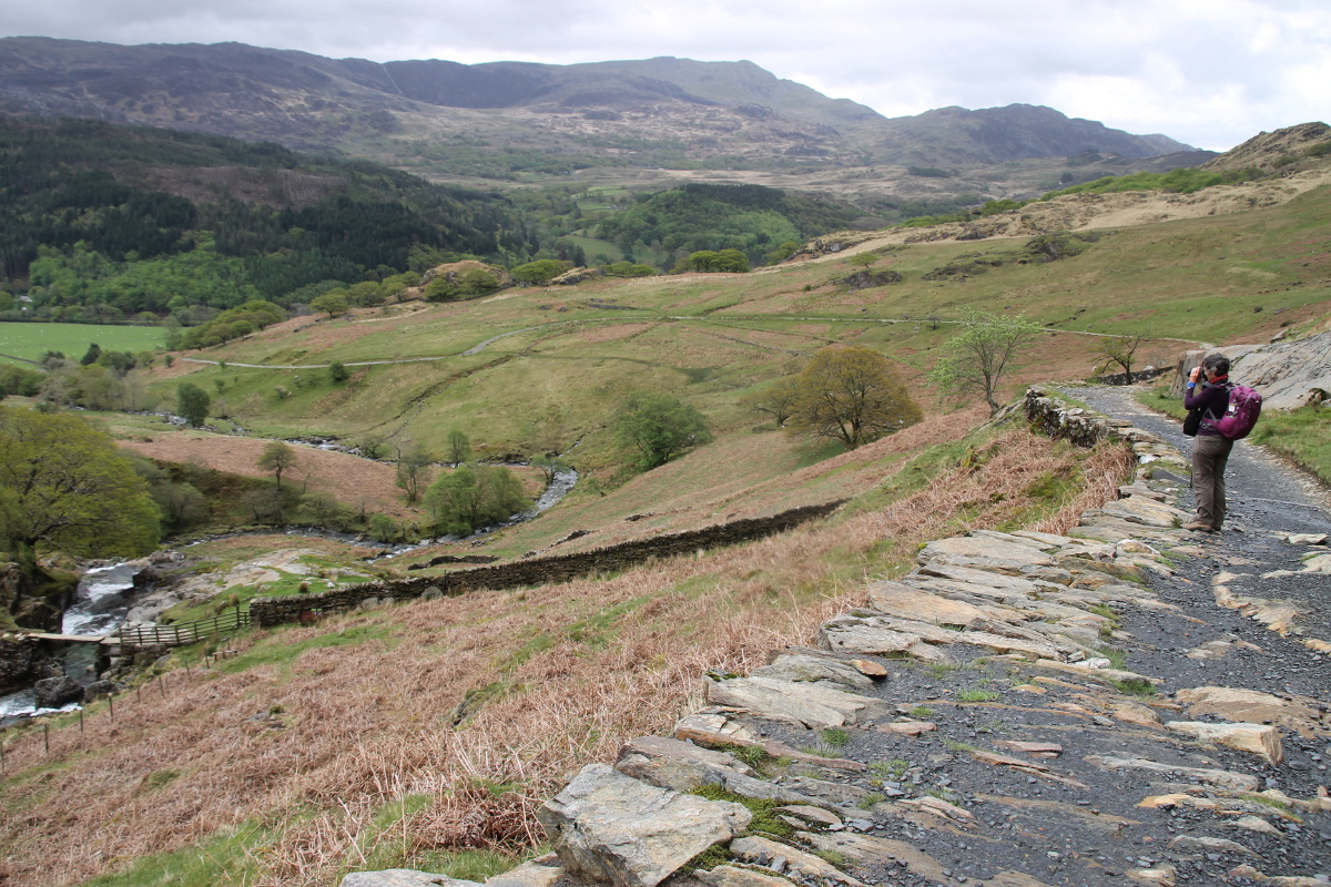
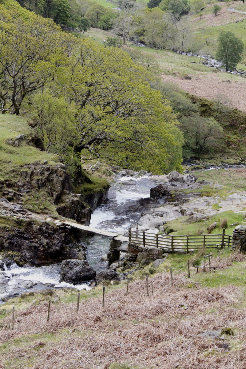
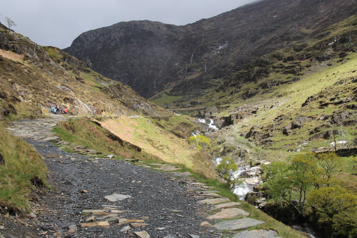
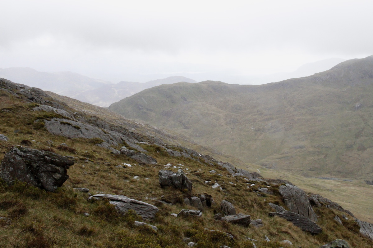
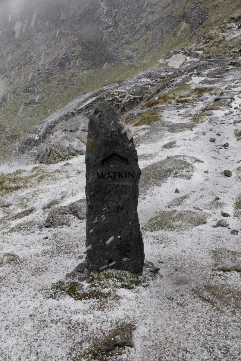
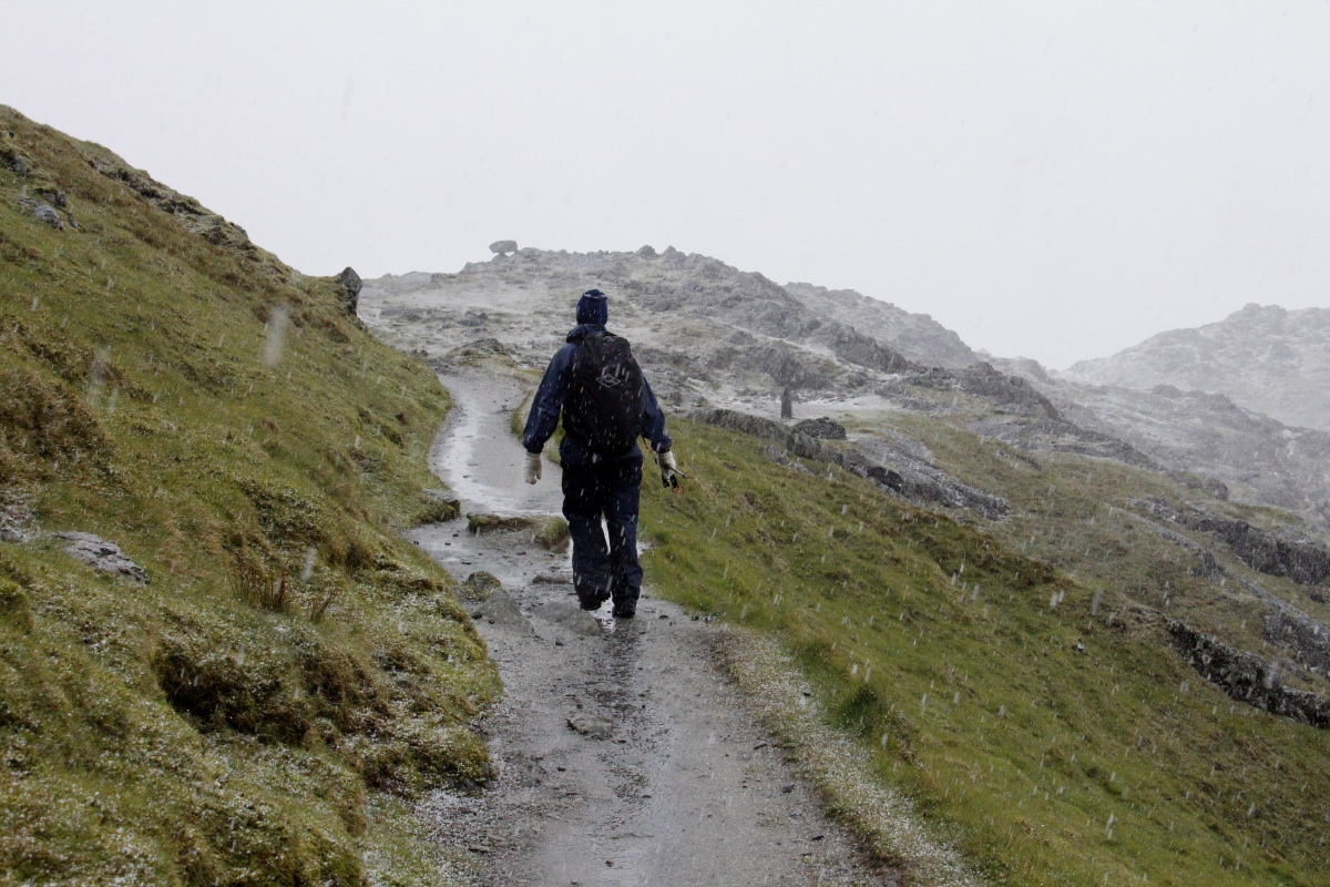
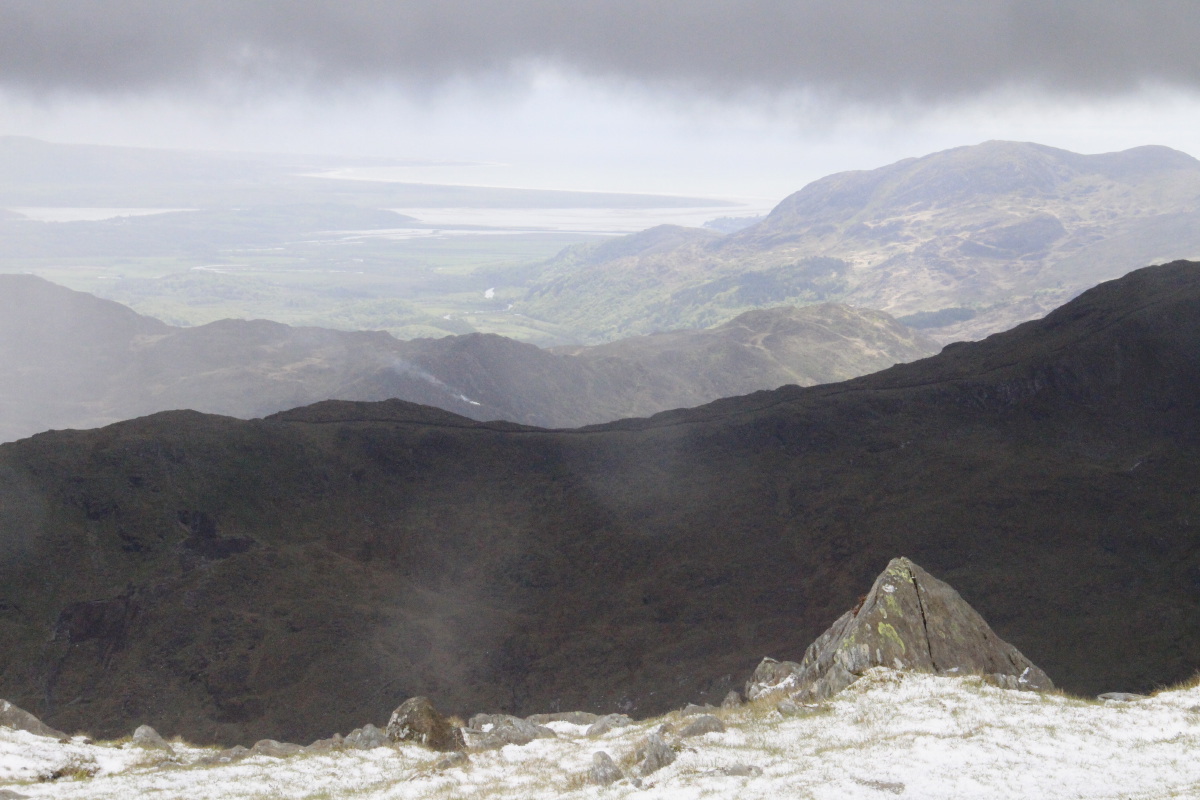
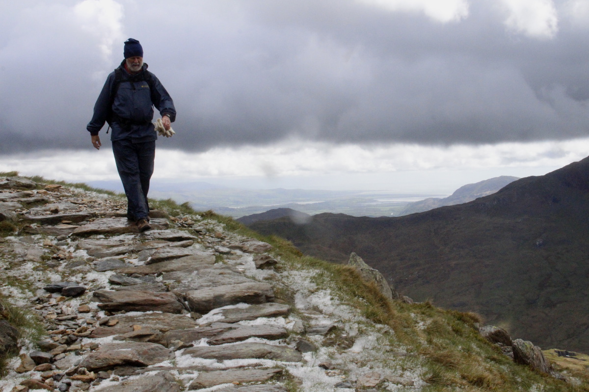
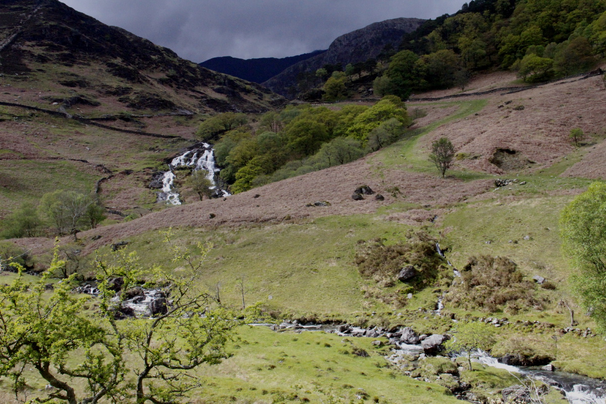
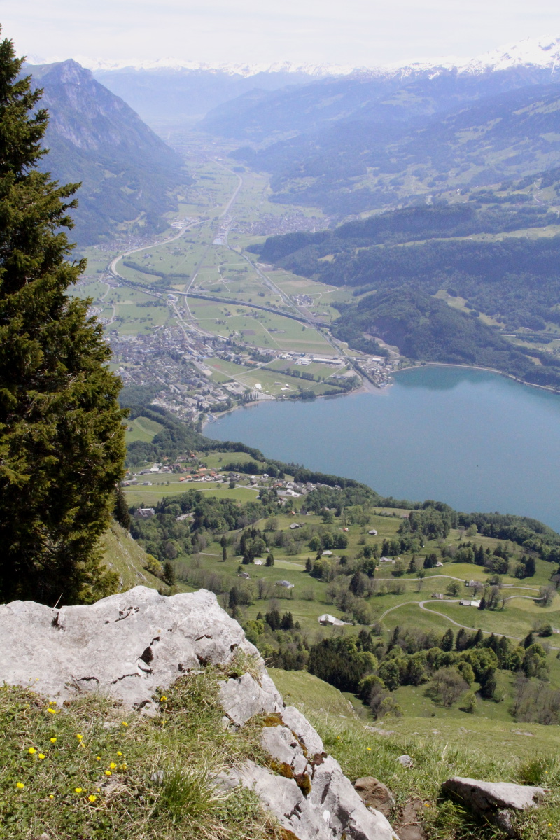
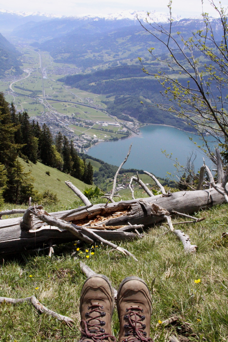
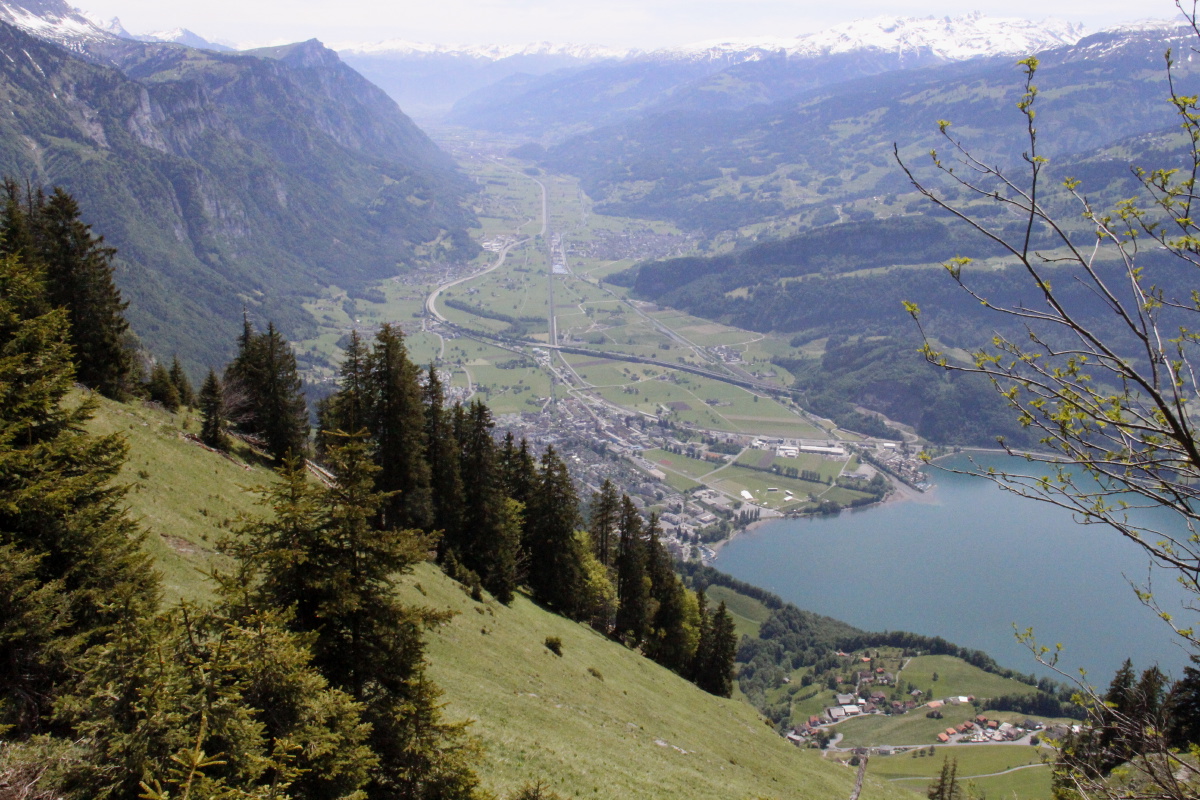
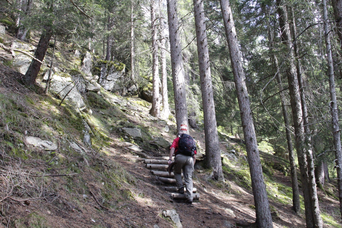
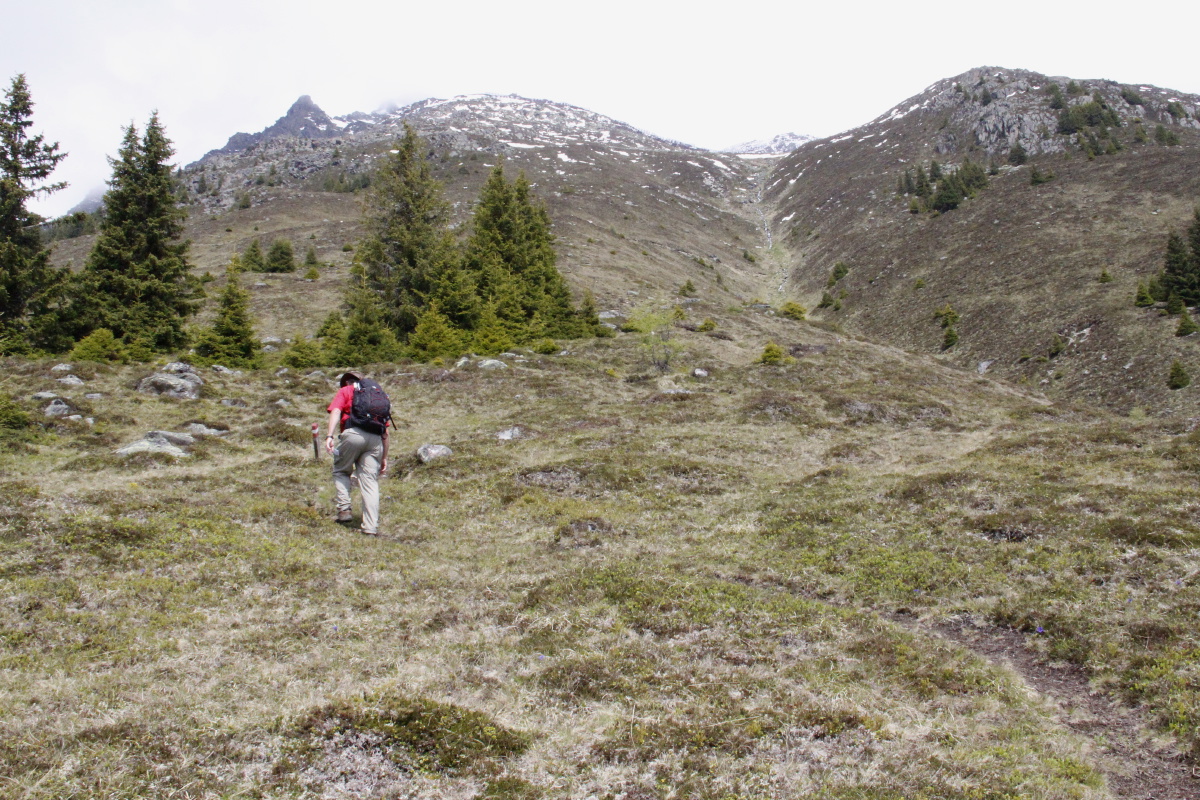
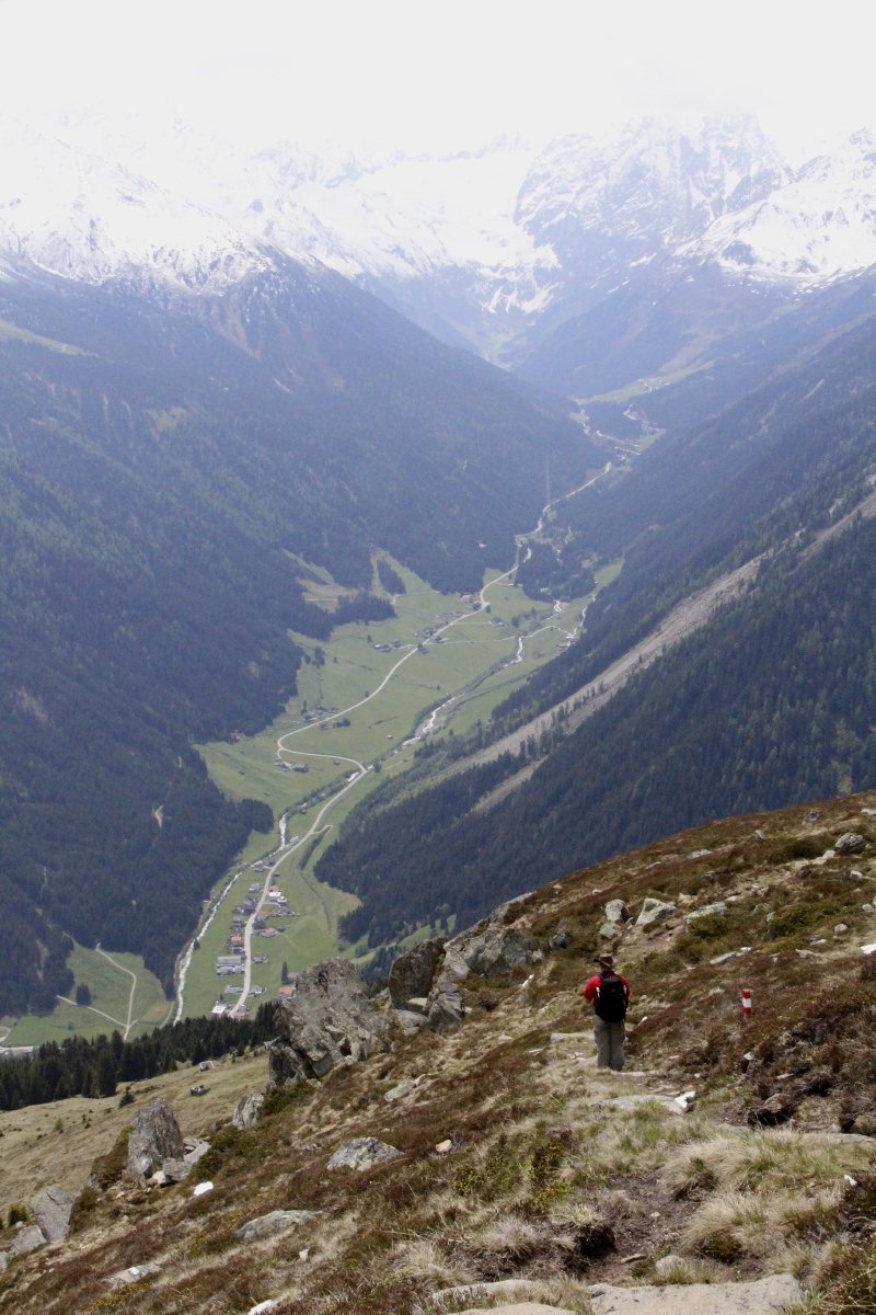
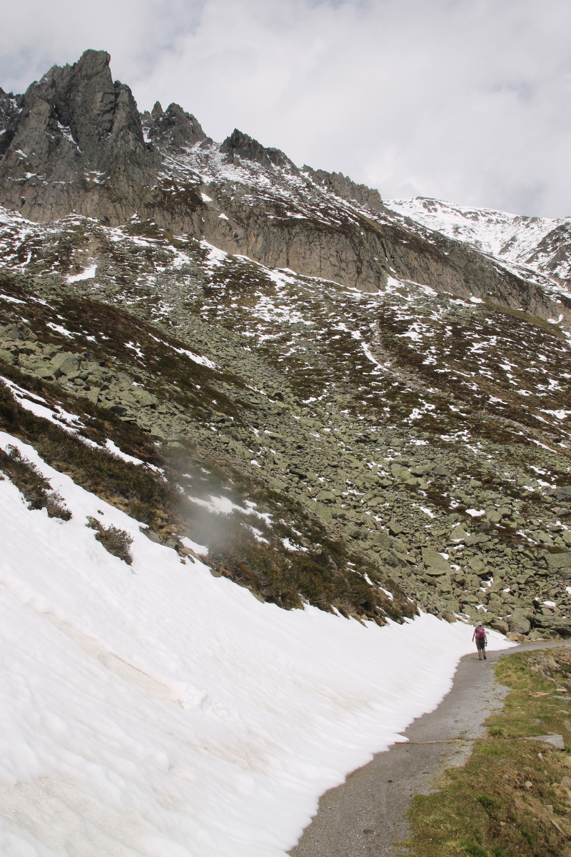
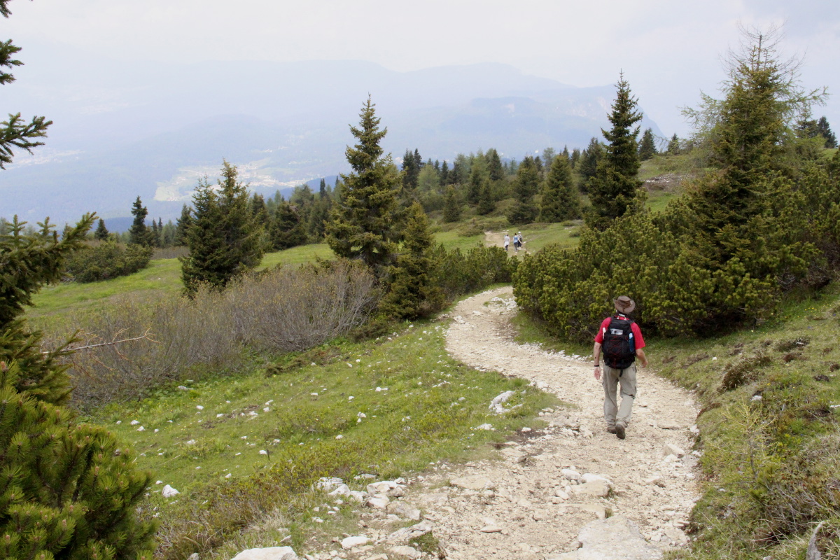
Snowdonia – Mid-May 2015 (Tue 19 May)
We stayed 2 nights in Beddgelert, in order to walk the Watkins Path up the
eastern side of Snowdon.
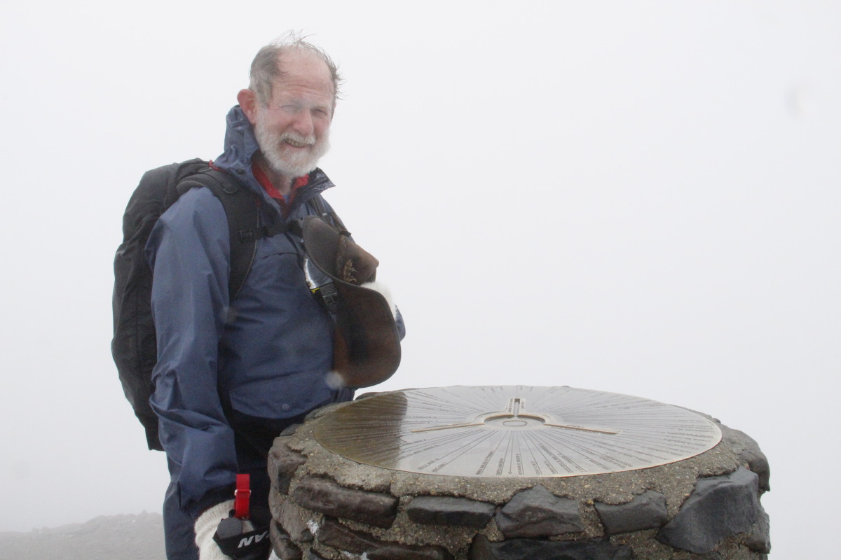
Watkins was chosen, as the most interesting approach, and to ensure Roger did
at least one 1000m walk after turning 65.
It features an excellent series of transitions, and mostly well-structured paths, making it highly recommended.
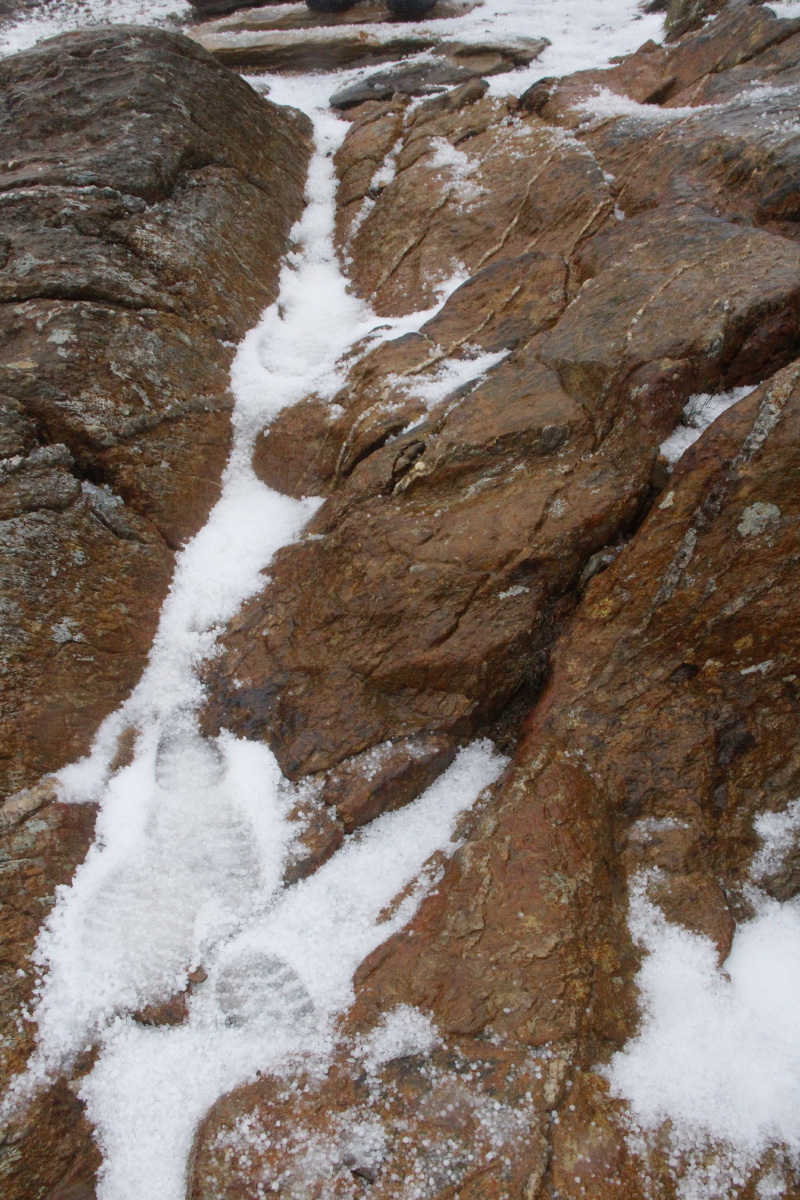
However, the last 700m to the peak averages 1 in 2, up a slate face, and over
a lot of loose scree.
And we were very lucky that we were in the lee, and the south-westerly gale
hit us for only the last 200m.
The 13km / 1015m took us a bit over 3 hours up and a bit under 3 hours back
(plus 40 mins for hot chocolate at the top!).
|
|
|
|
At the car-park,
at altitude 70m |
In the forest, before
returning for my hat |
Still in the forest |
The (working)
National Trust property |
|
|
|
|
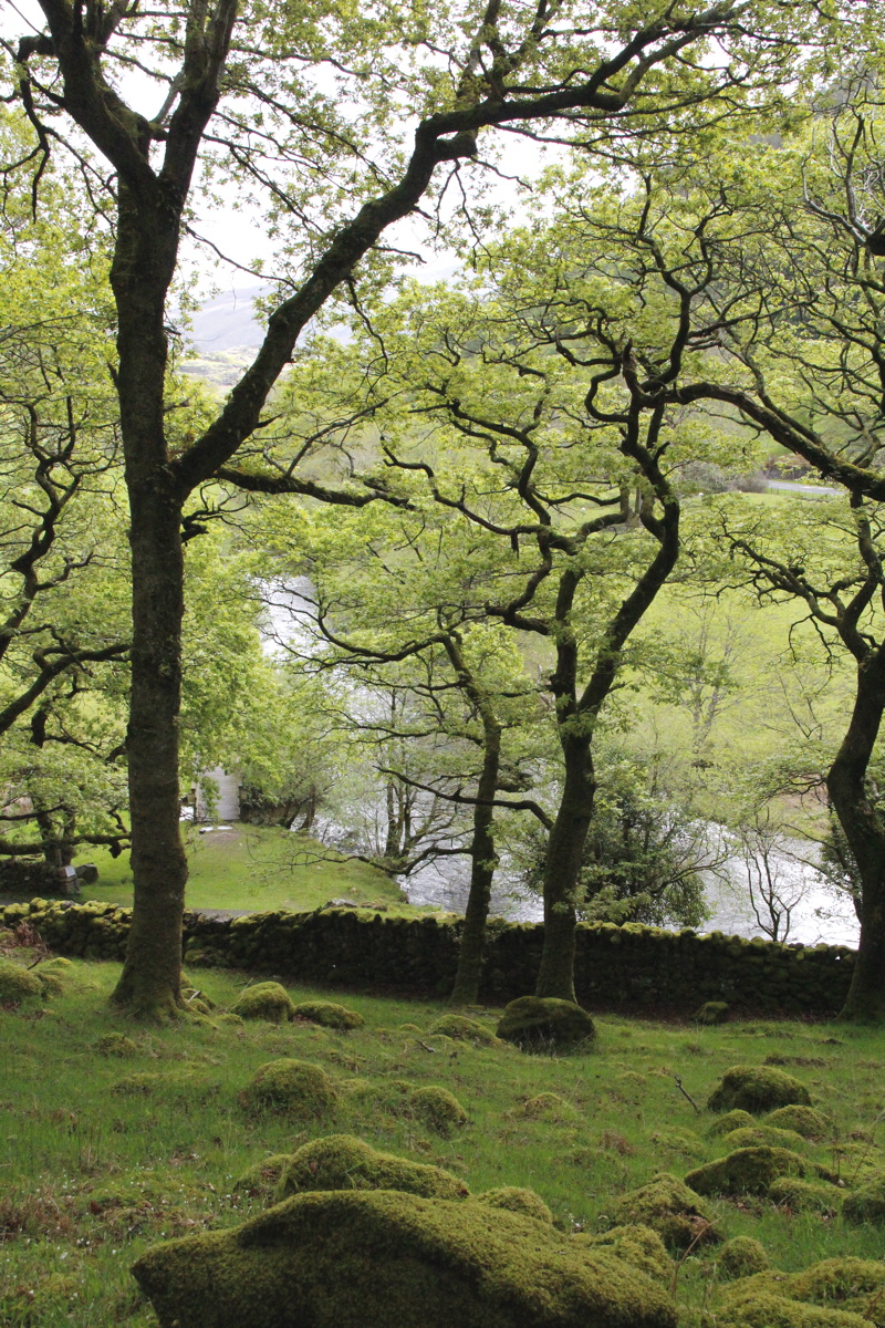
The fields and gully
(170m above sea-level) |
Linda taking
the previous shot |
The stream |
The first shower (of
light hail) arriving |
We failed to take industrial archaeology photos
of the interesting slate-quarries |
and of the plaque commemorating Gladstone
(aged 83) opening the path, in 1892. |
|
|
|
|
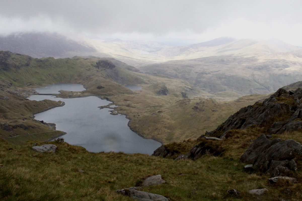
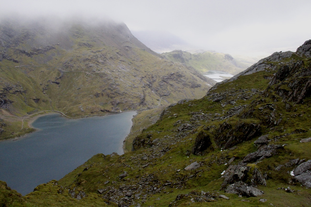
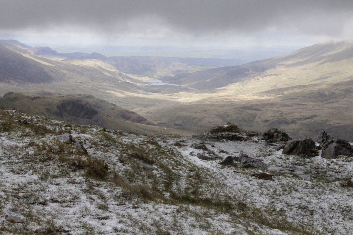
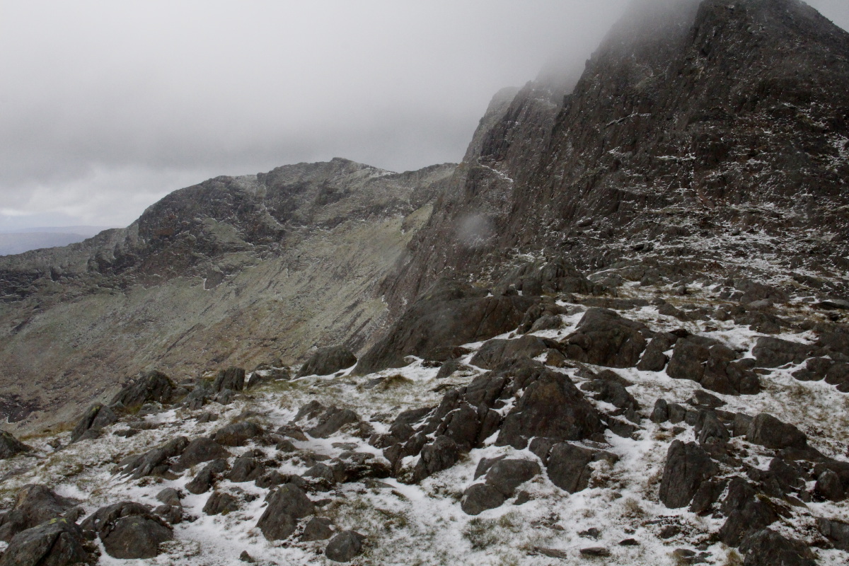
Up on the ridge |
Looking northward
across the lakes |
Temperature falling |
The upper lake,
Llyn Llydaw,
(Excalibur's resting-place?) |
|
|
|
|
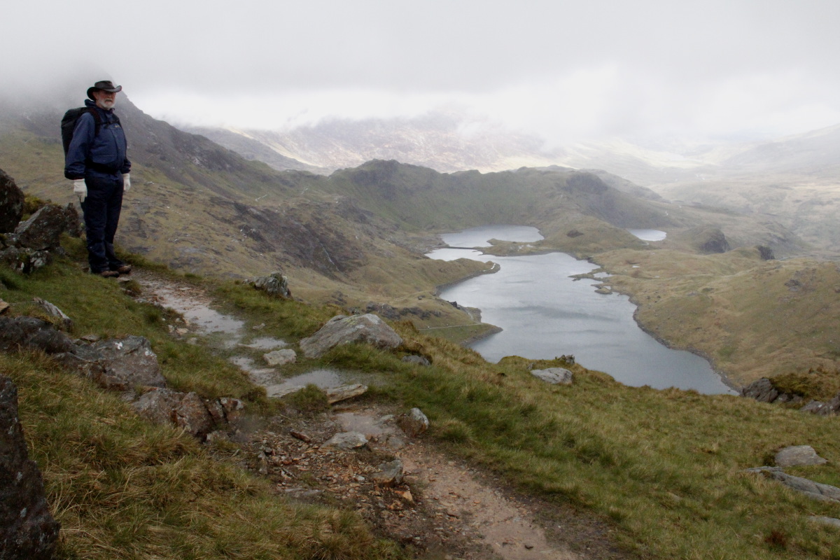
Sir Edward Watkins' men
built the upper path,
but the last bit is untamed |
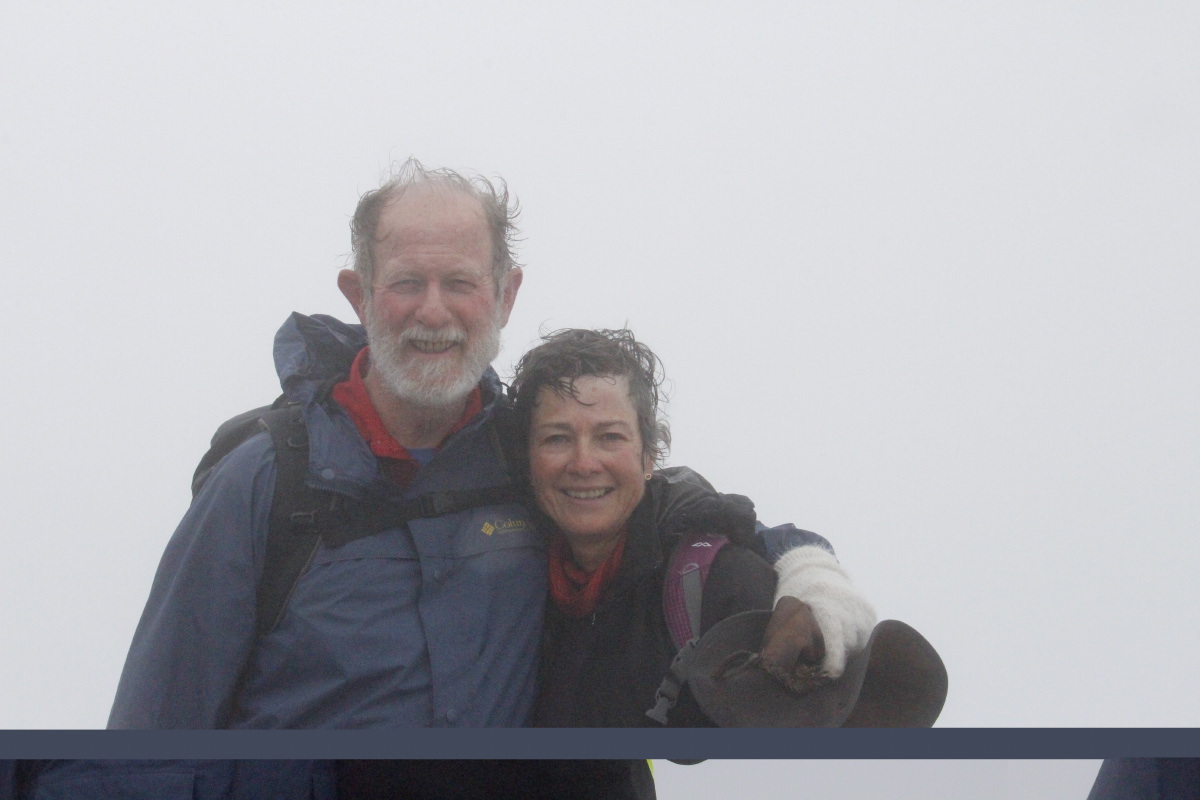
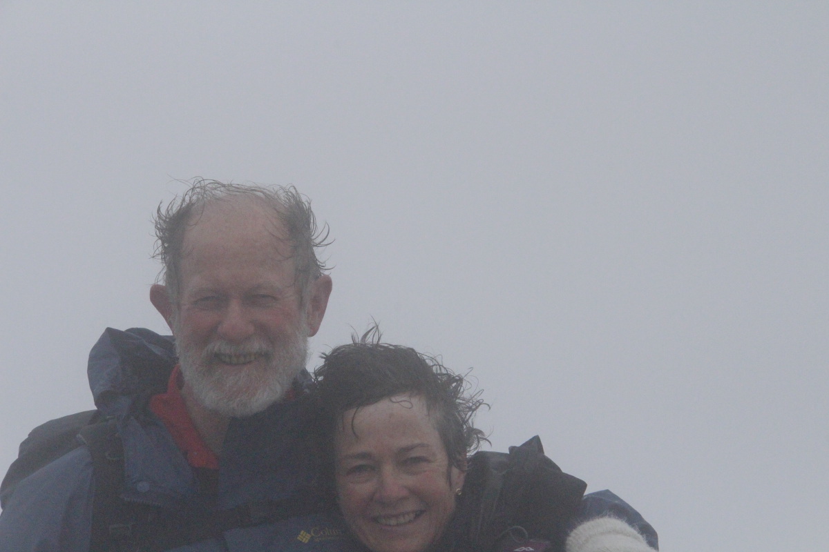
Hillary, disappointed because
someone else got there first |
Note the firm grip
on hat, and wife |
German tourist blown off
top of Snowdon taking photo |
|
|
|
|
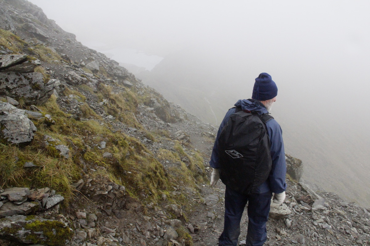
Yes, I know the track back down
is here, but where's 'here'? |
The easy bit, when
Linda had mindspace
to take a photo |
|
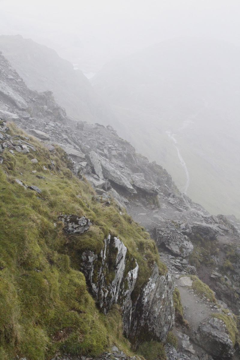
Better visibility
once below the cloudline |
|
|
|
|
Despite an ongoing
sago-snow downpour |
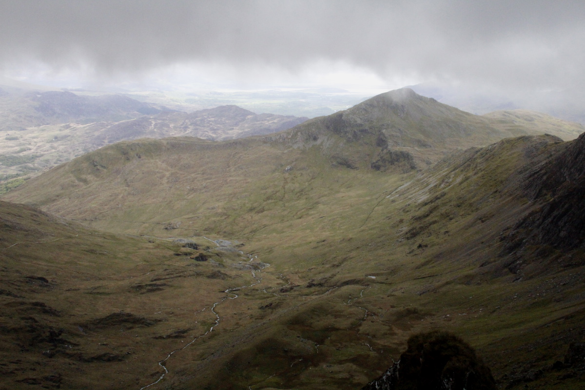
Looking northwards |
Along the ridge,
to the west |
Snowdon is not only
about high-grade slate |
|
|
|
|
Looking south to
Cardigan Bay / Harlech |
Gloves off now,
chäppi still on |
Transition back to the meadows |
A schematic of the upper
levels of the various paths |
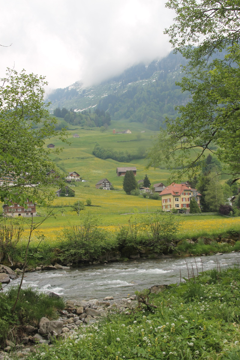
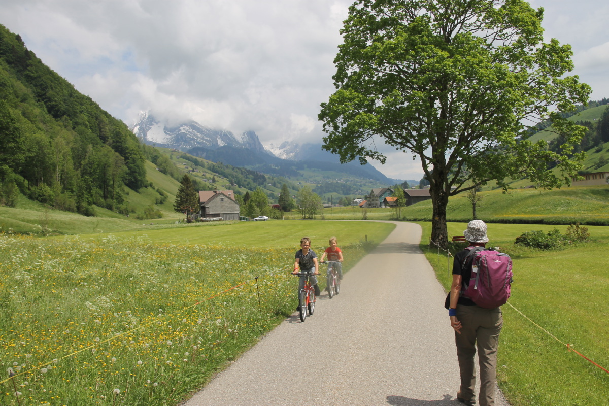
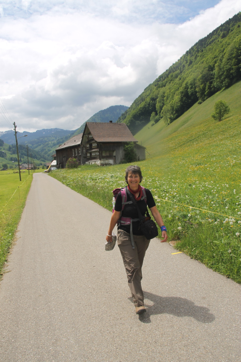
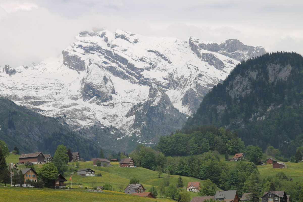
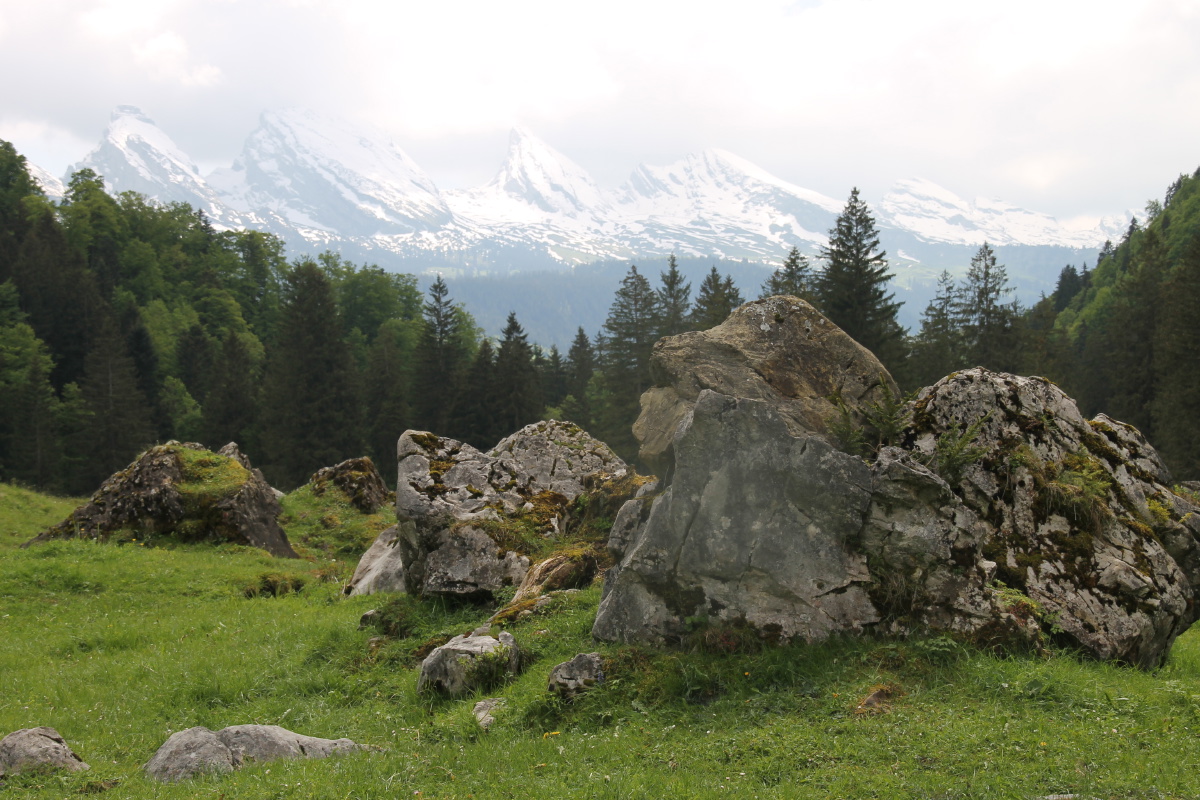
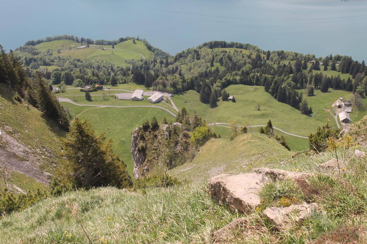
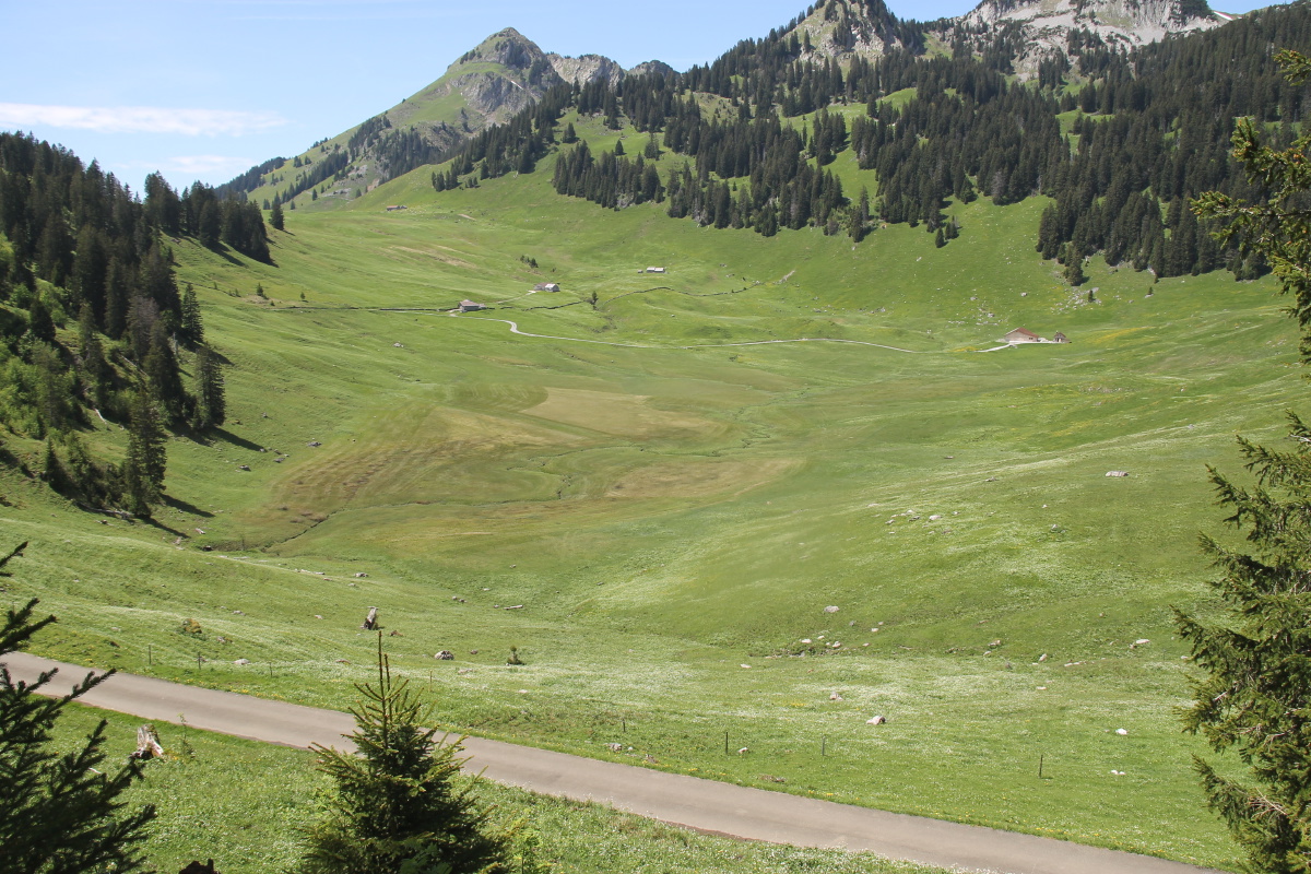
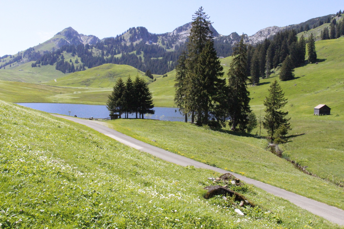
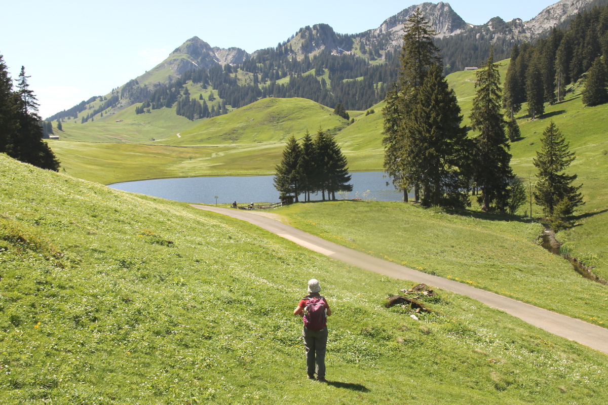
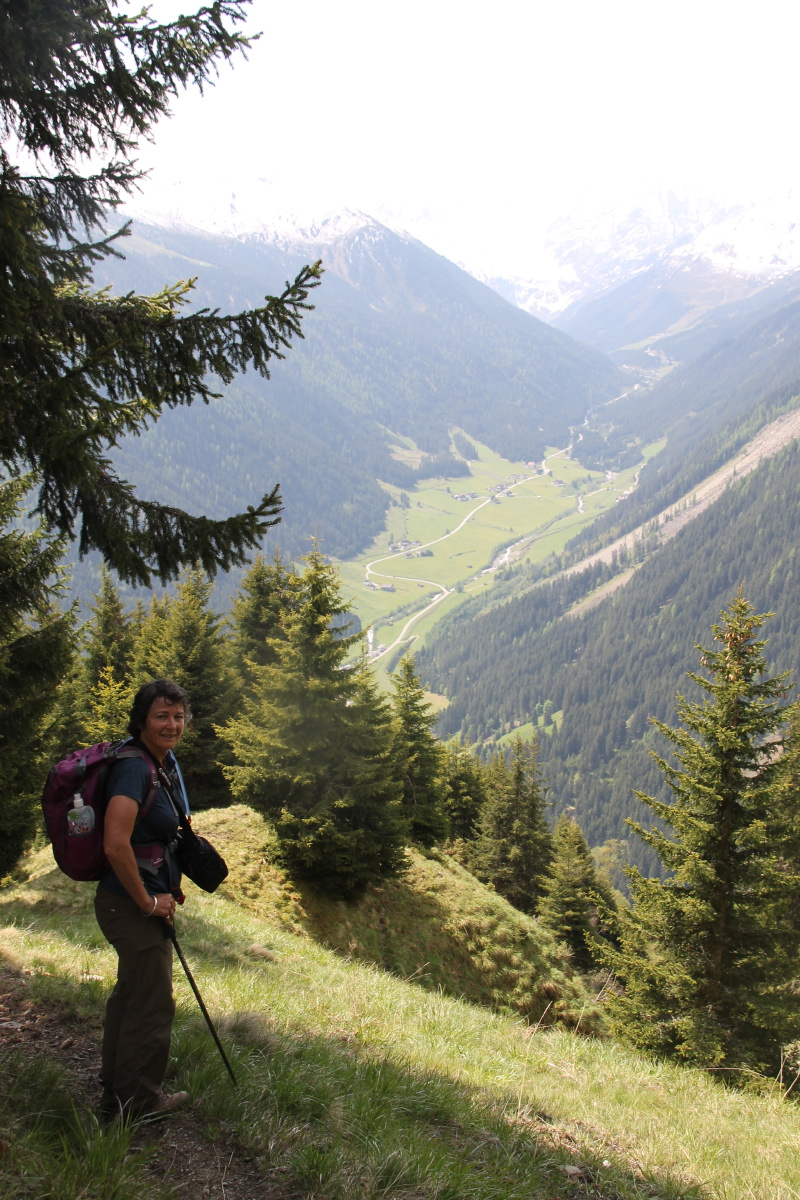
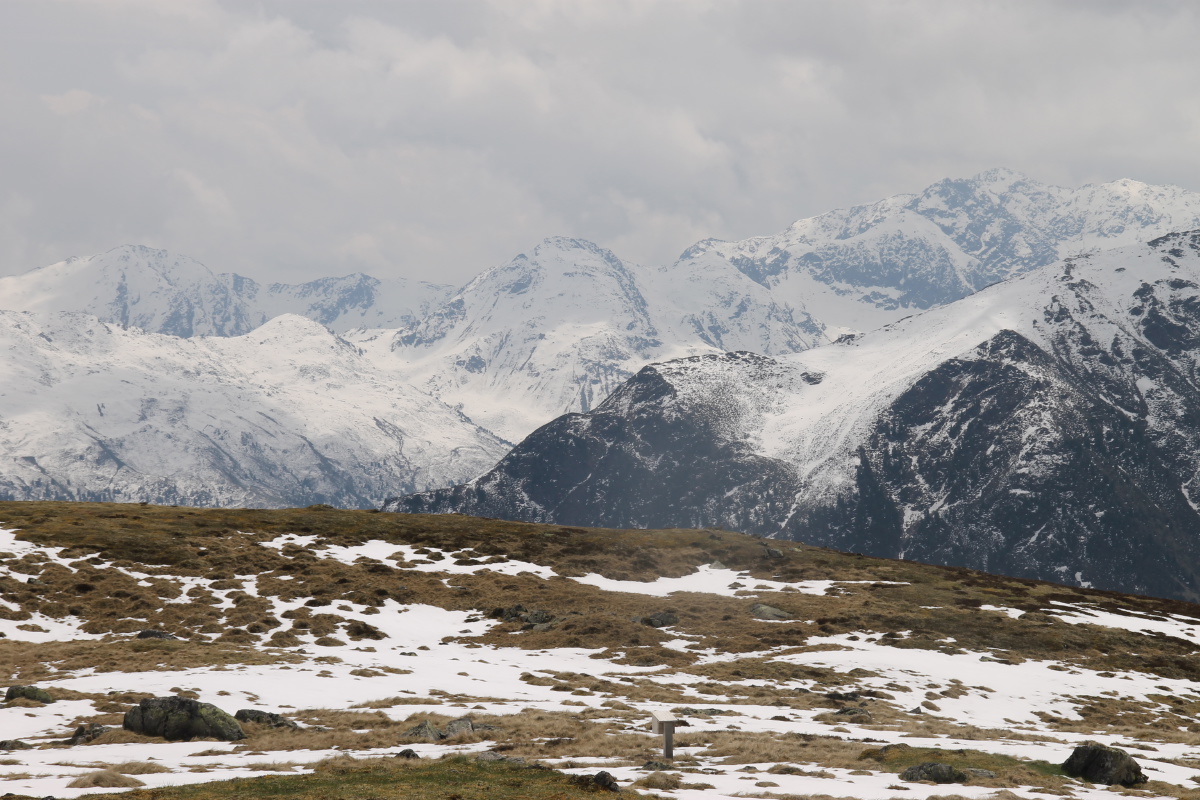
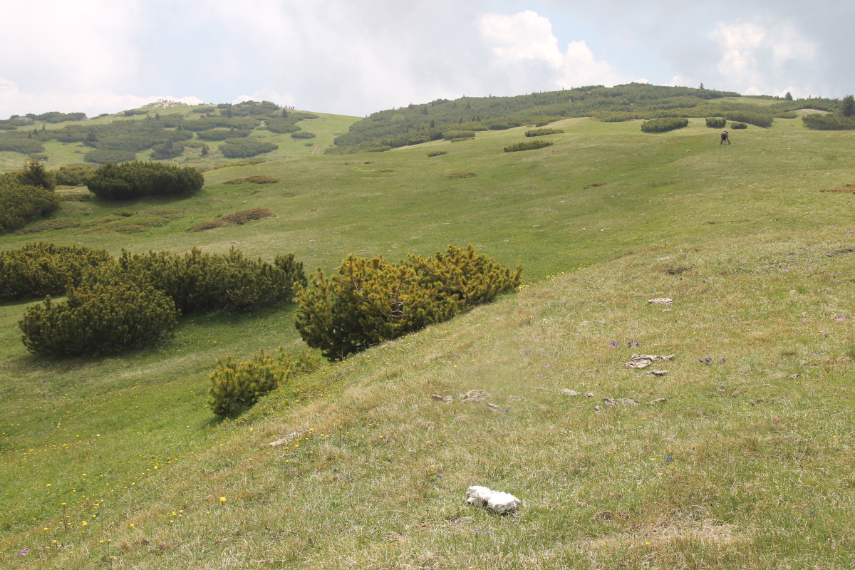
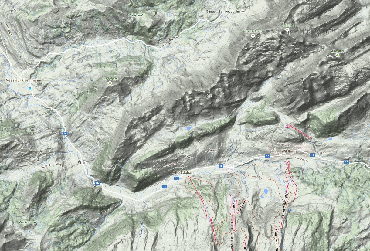
Switzerland – Late May 2015
We spent a week in Wildhaus at the top of the Toggenburg
(i.e. the upper Thur valley),
immediately south of Säntis.
It was too early by a couple of weeks, with snow still lying in quantity from
c. 1800m upwards.
We also had mediocre weather, with 10 degrees at 1000m, high cloud, varying
visibility, and a day of heavy rain.
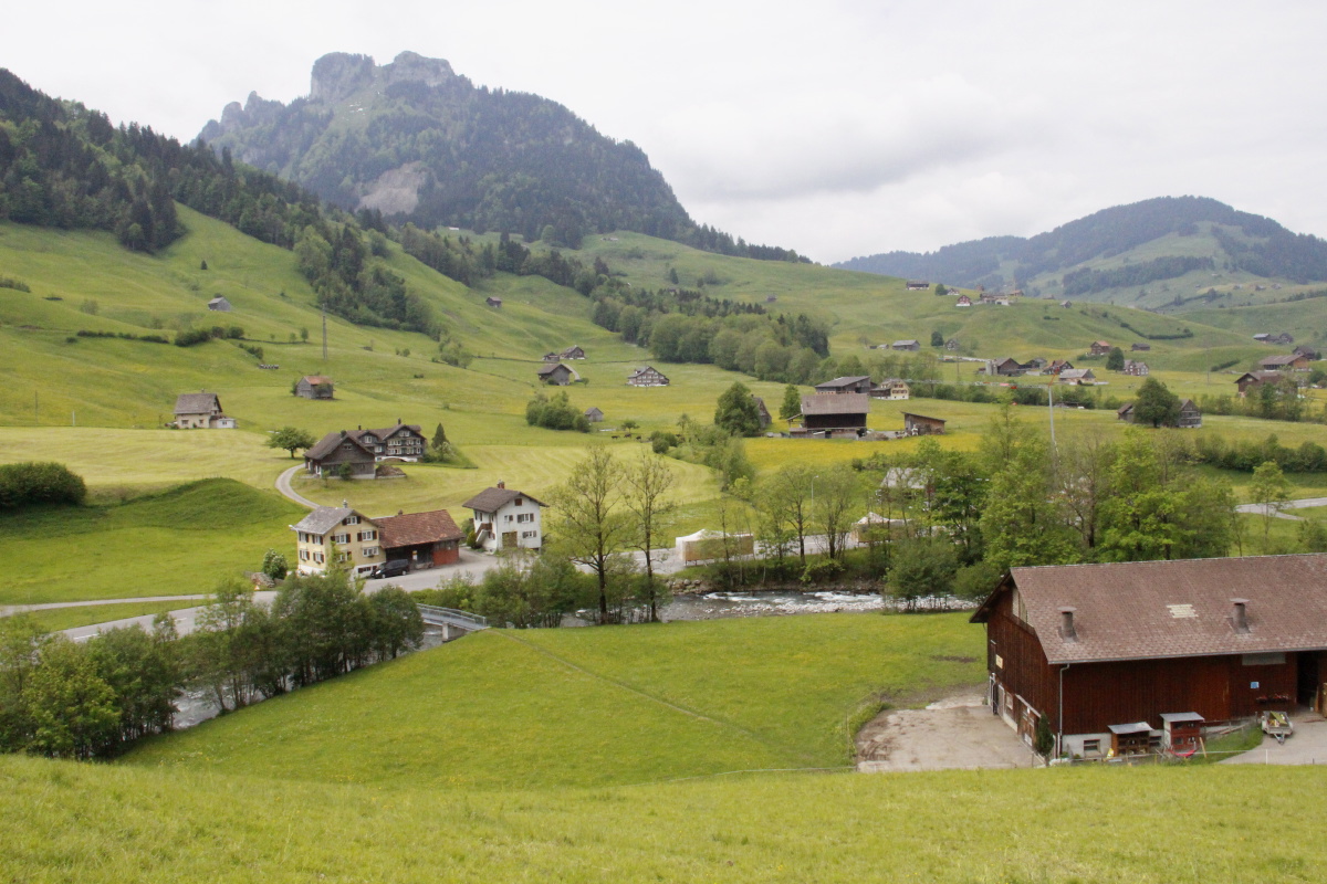
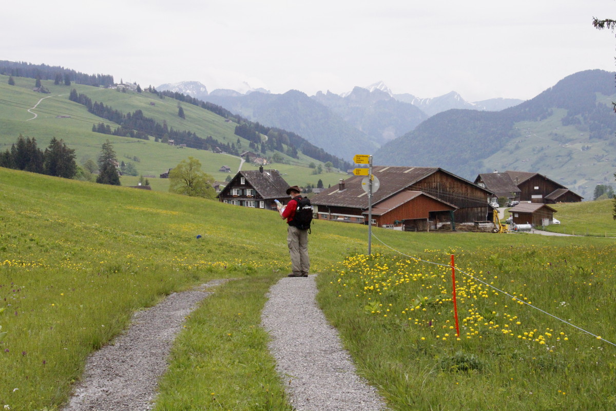
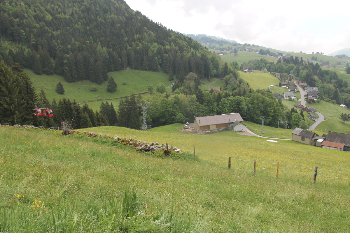
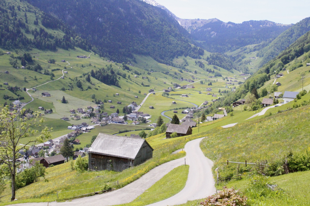
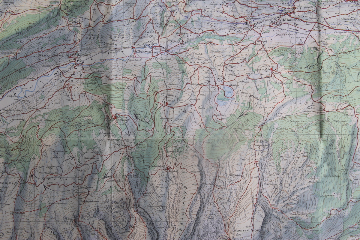
We parked in Wildhaus, caught the Postauto eastwards down the valley to Nesslau, then walked up the valley
back to Wildhaus, c. 16km and 450m up (maybe 50m down). Here's a contour map.
|
|
|
|
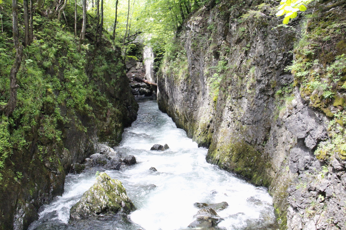
A gorge and pool
on the Thur |
The stream, fields
and recent snow above |
Further upstream |
Another small gorge |
|
|
|
|
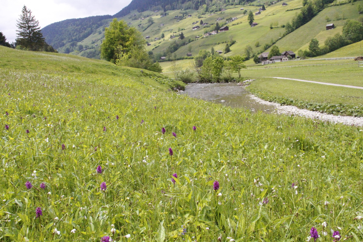
Marsh Orchids
beside the Thur |
Around the corner
into the upper valley |
A bit of a
stroll really |
But with portents
of walks to come |
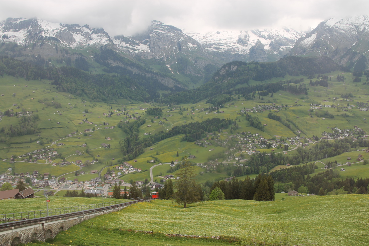
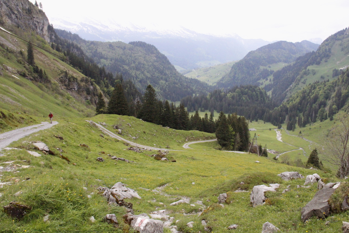
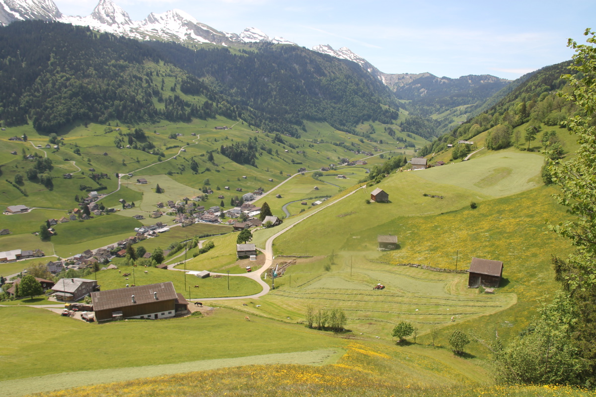
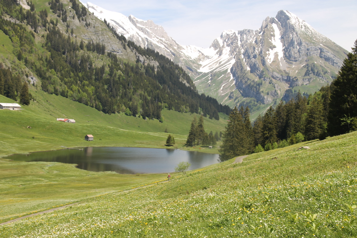
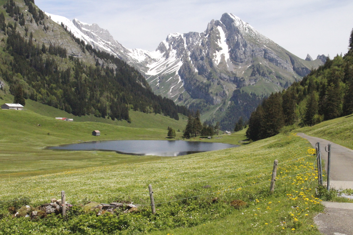
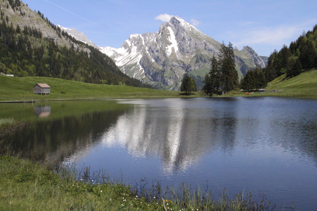
We parked on the valley floor, 65m below Wildhaus, and walked eastwards, then curved south up the slope,
then west, along the north flank of the Churfirsten.
The c.19km and 750m path is shown in this panorama,
and this map.
|
|
|
|
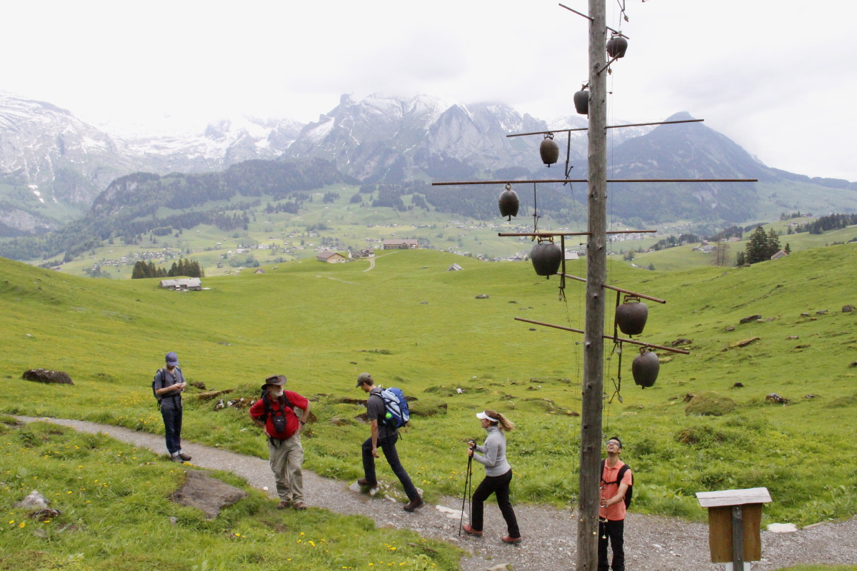
Starting out,
eastwards |
The 'Klangweg' has
c.20 instruments, incl.
a Klangschalenbaum ... |
... and a Glockenbühne
(bell-stage) |
Coffee at the
rack-railway station |
|
|
|
|
|
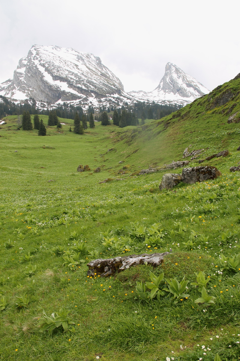
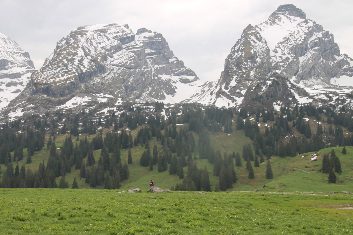
Schibenstoll and
Zuestoll ... |
... and Brisi, each
2220m (= Kosciusko) |
Overlooking Wildhaus |
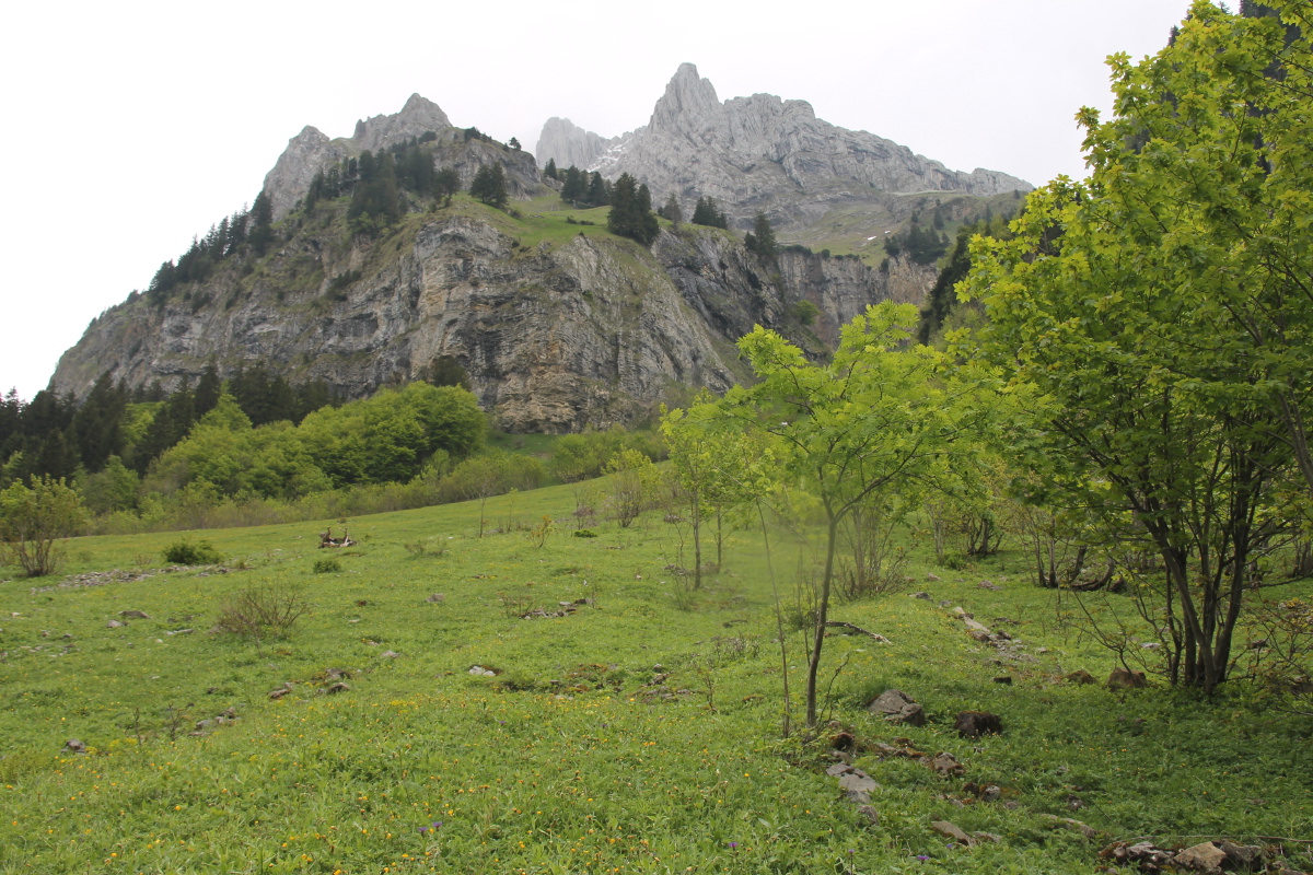
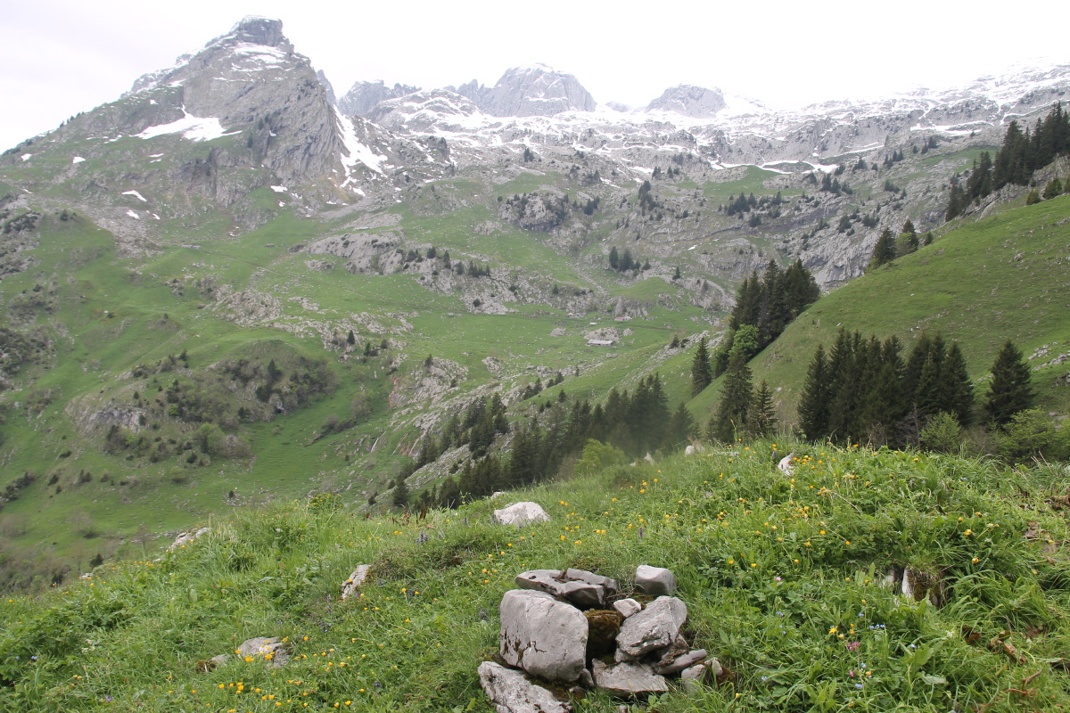
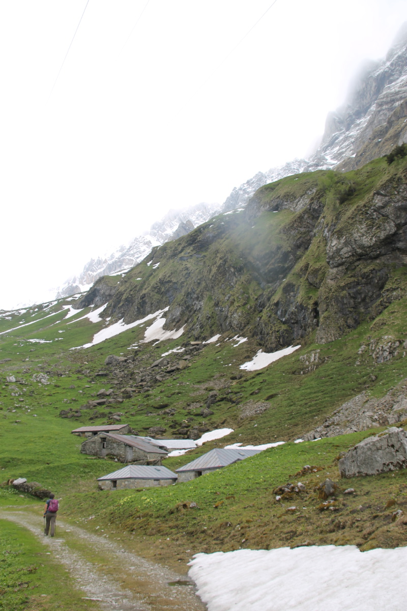
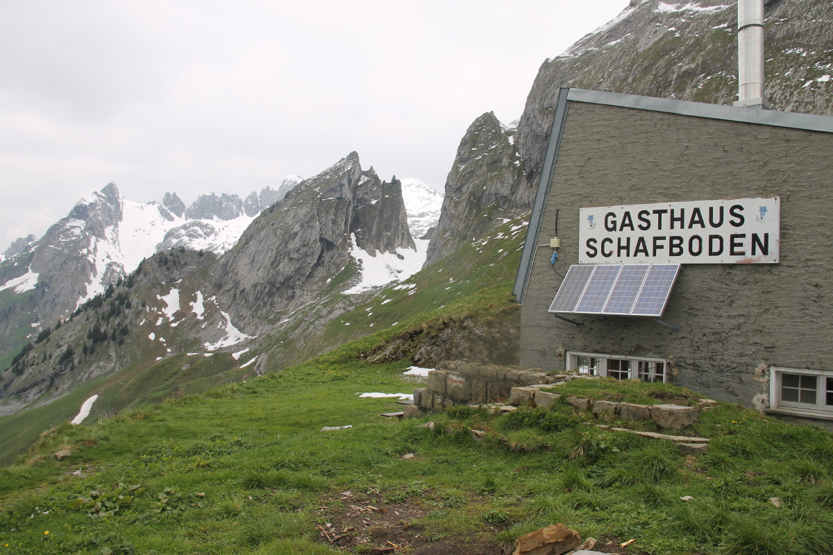
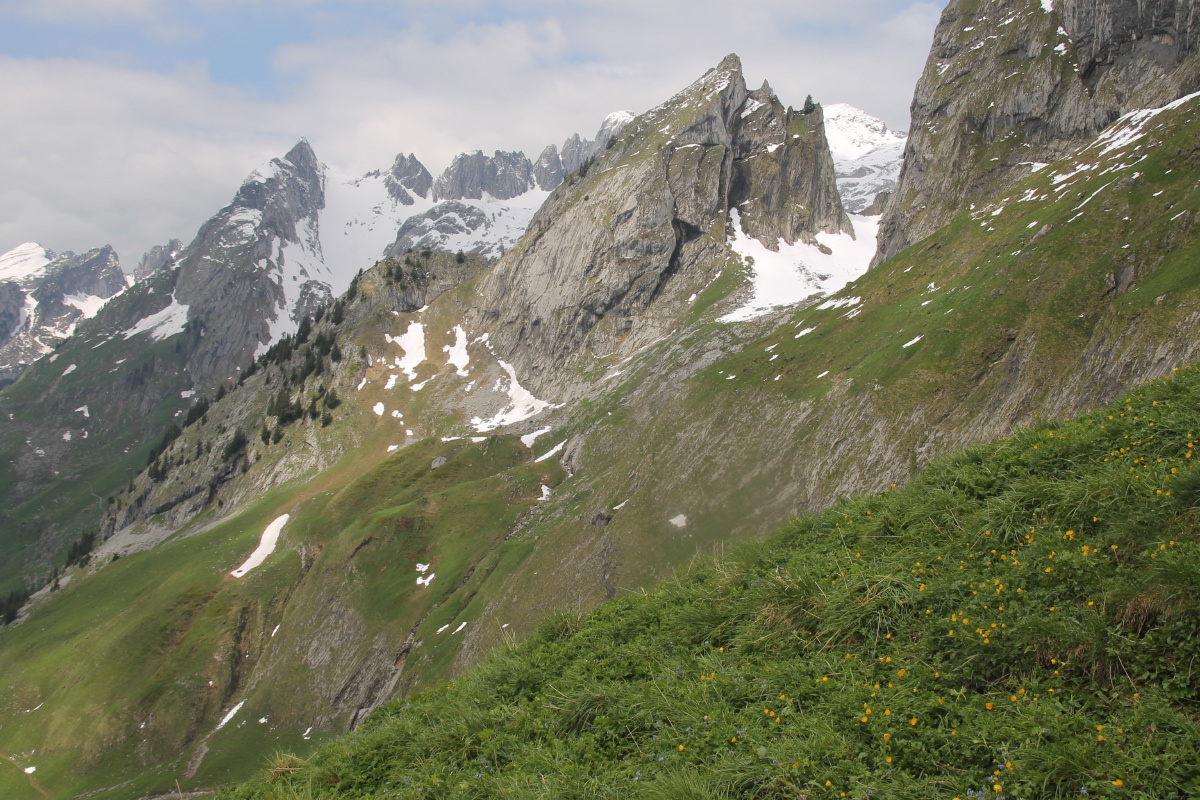
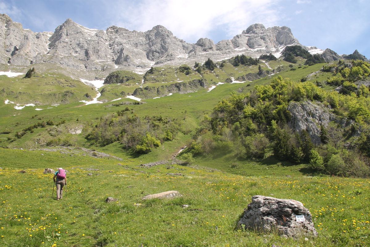
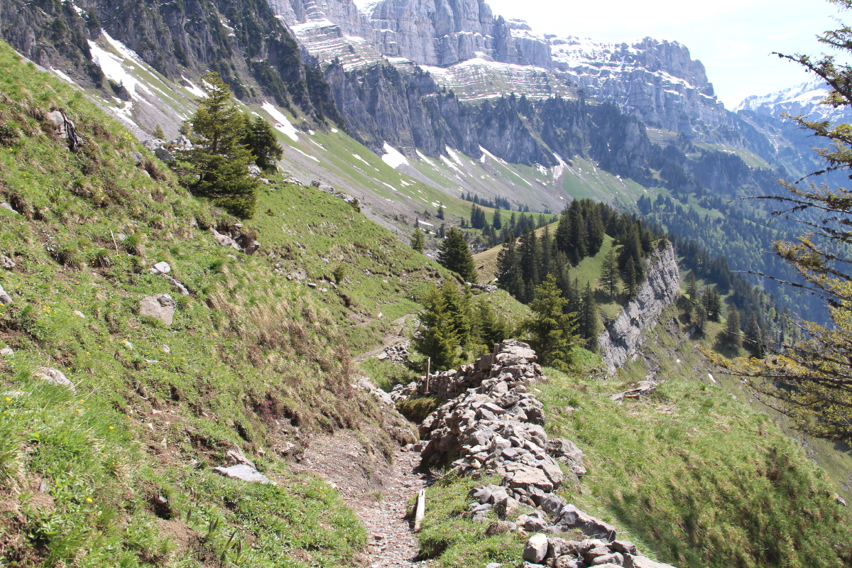
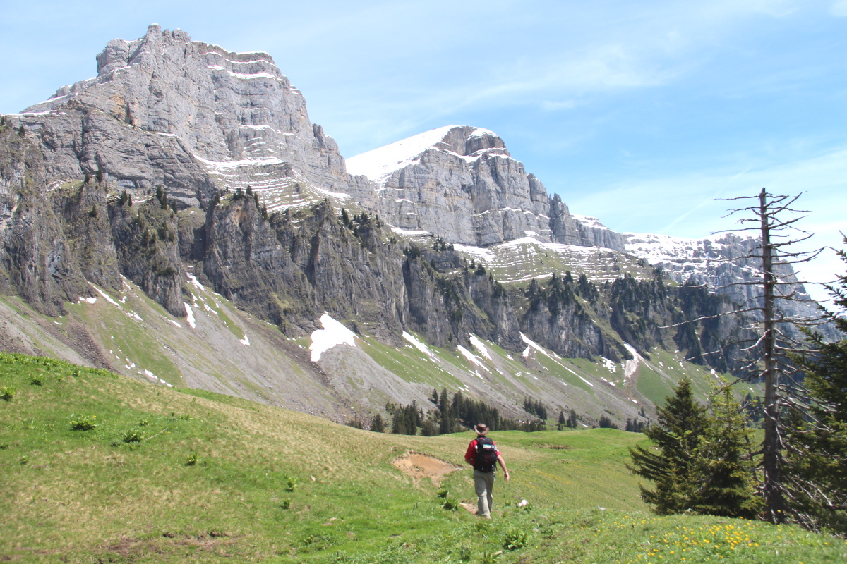
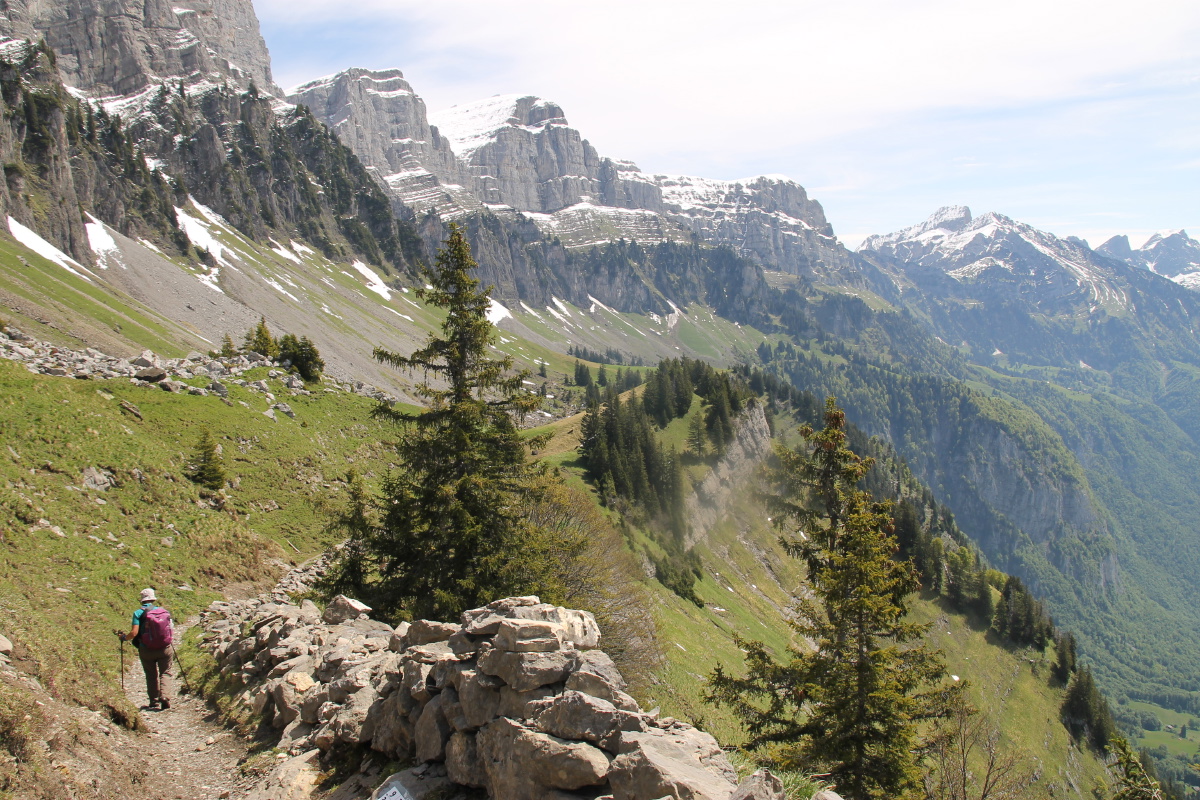
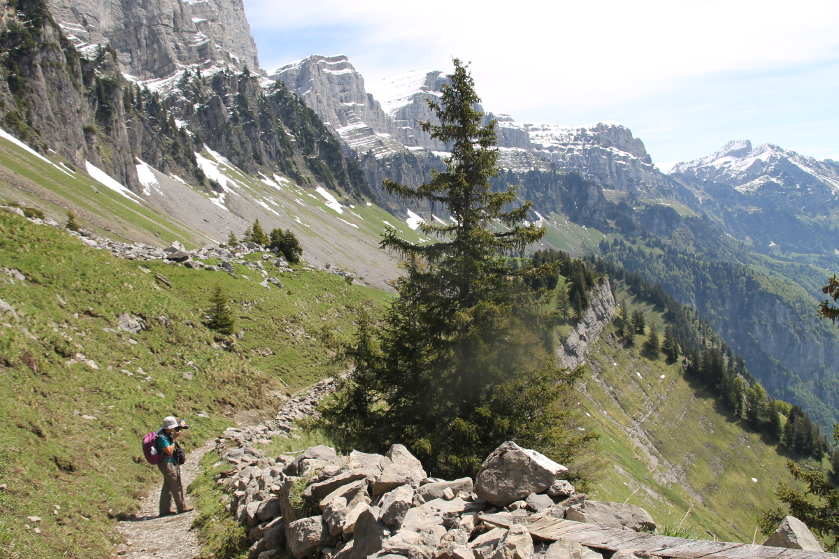
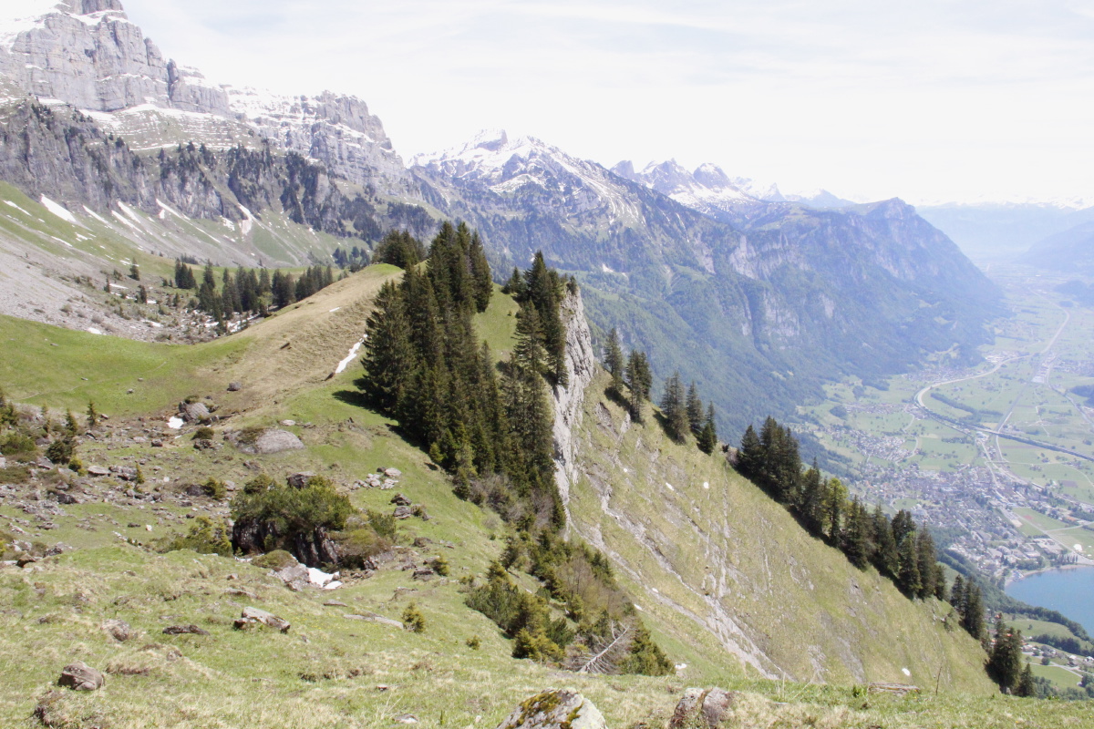
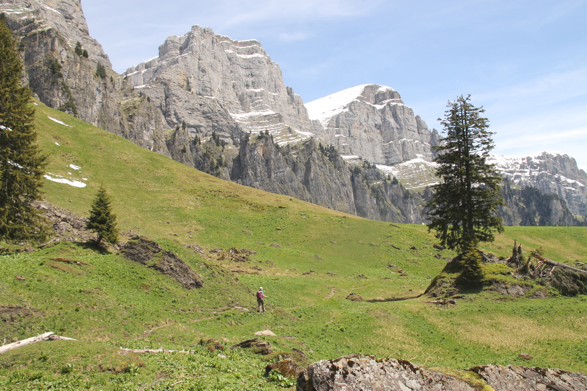
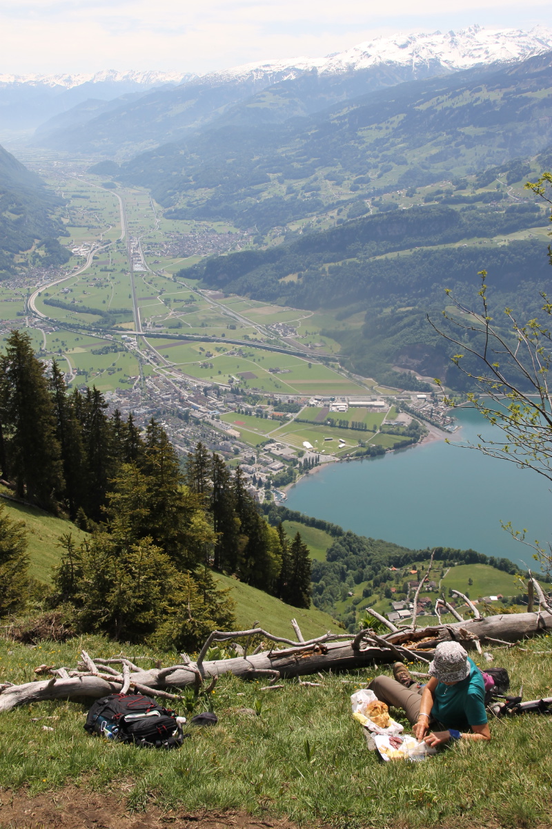
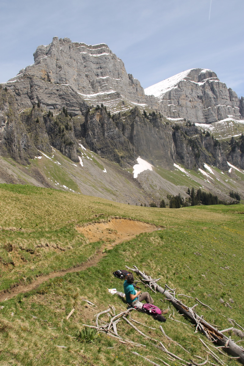
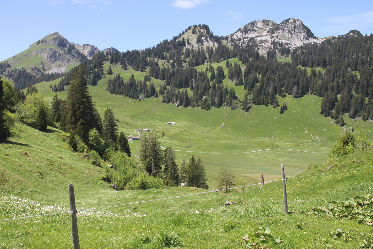
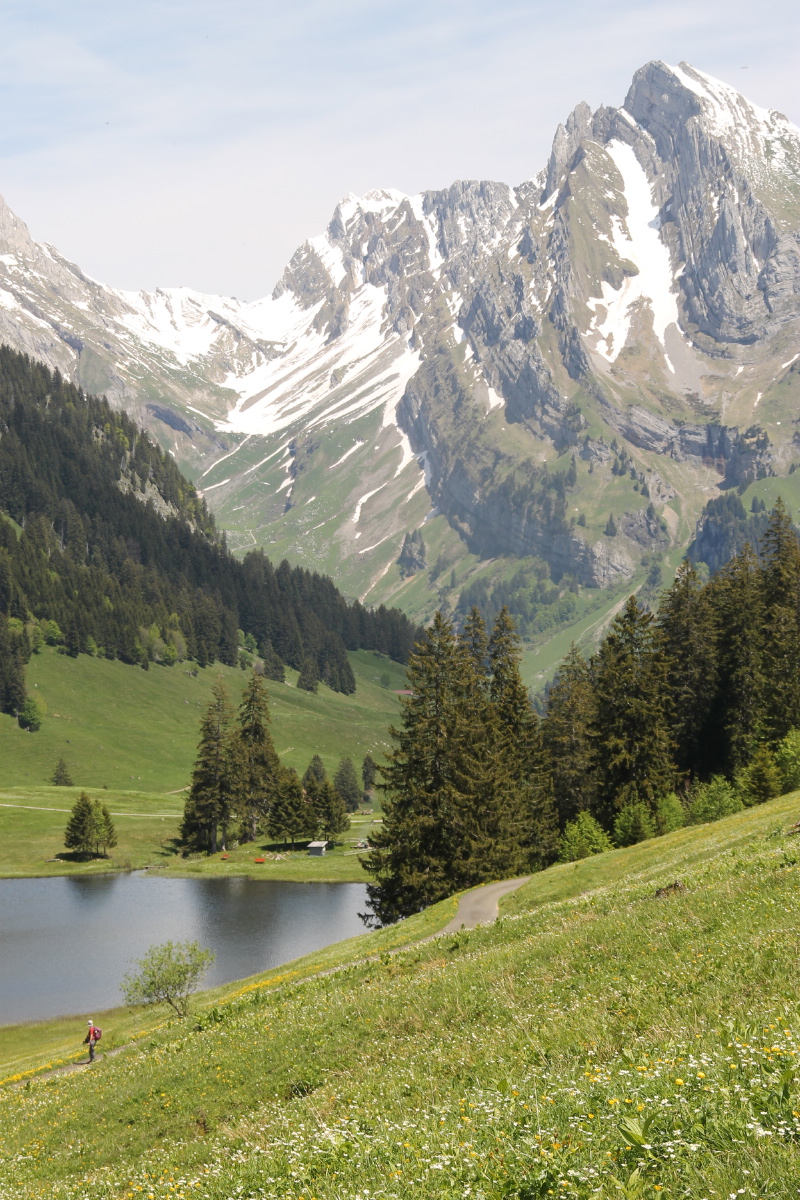
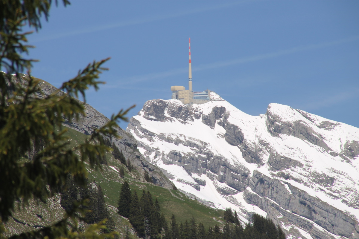
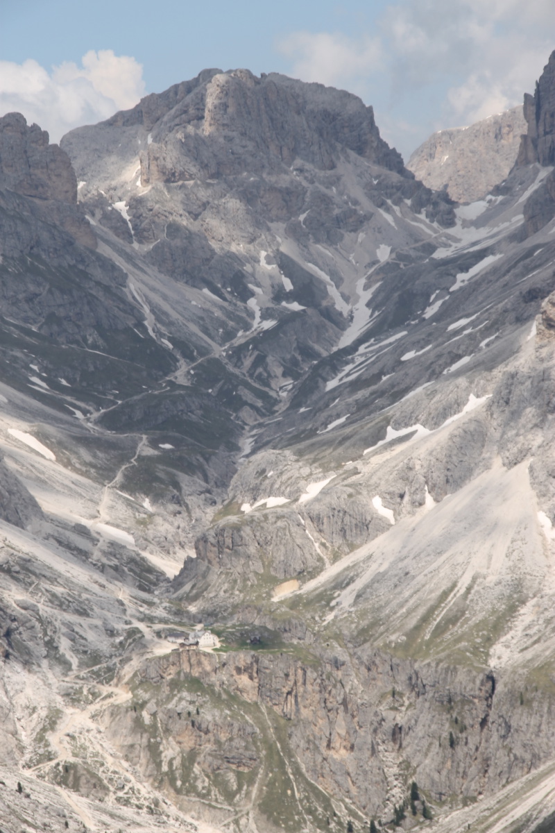
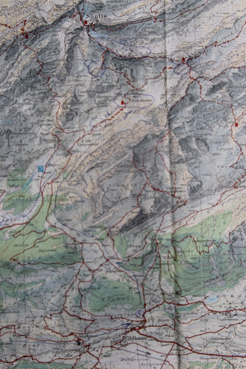
On the southern approach to Säntis, the upper sections, above 1750m, were snow-covered.
So we abandoned the plan of getting to Rotsteinpass (2150m), and targeted Schafboden (1725m).
The valley (to that point) was not as savage as we'd feared, but was well worth the effort,
with steep rock-walls on both sides, a pass above, and the valley-opening to
the south.
The path we picked out was 12.5km / 750m, up over a 5km stretch, then a 7.5km
loop back to Wildhaus.
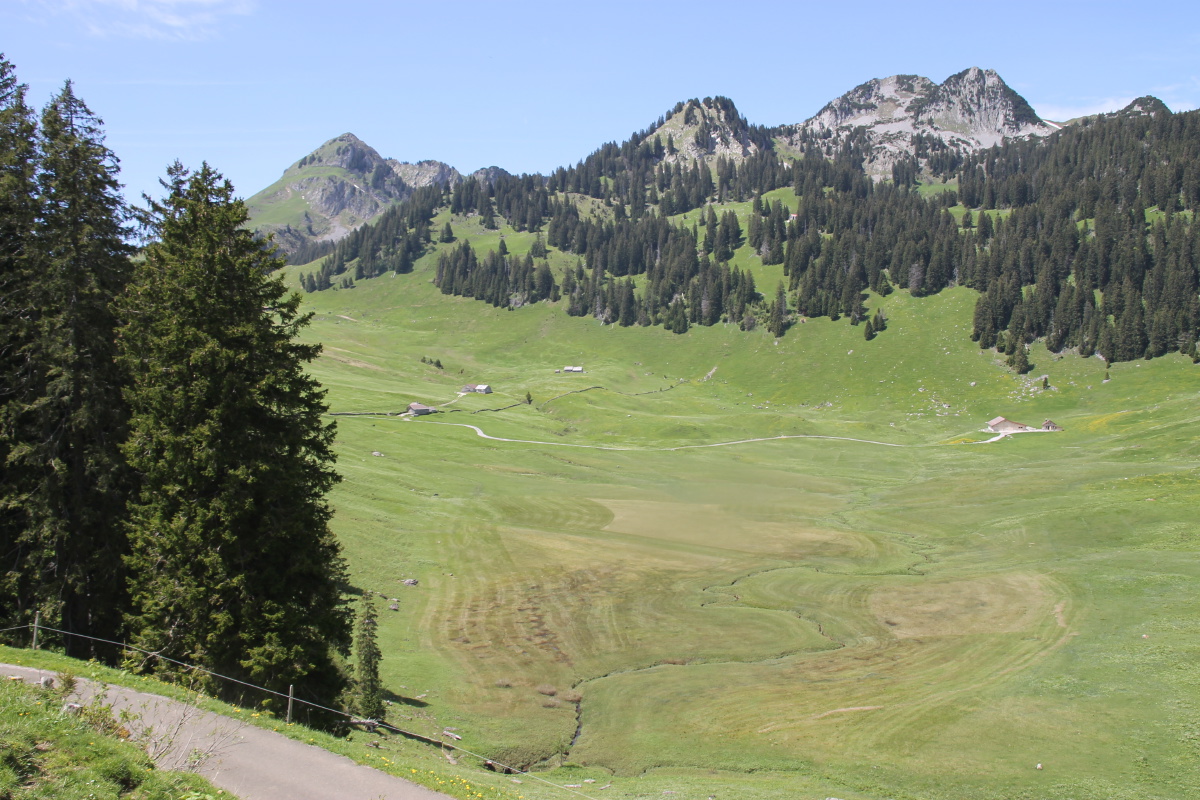
Here's a map of the route,
from Wildhaus, NW around the Schafberg, but back via the slopes above Unterwasser.
And here's a contour map showing the features mentioned below.
|
|
|
|
Rising above
Wildhaus |
Friendly locals |
The impressive Schafberg
to the NE of us |
The range to the NW,
as we left the tree-line |
|
|
|
|
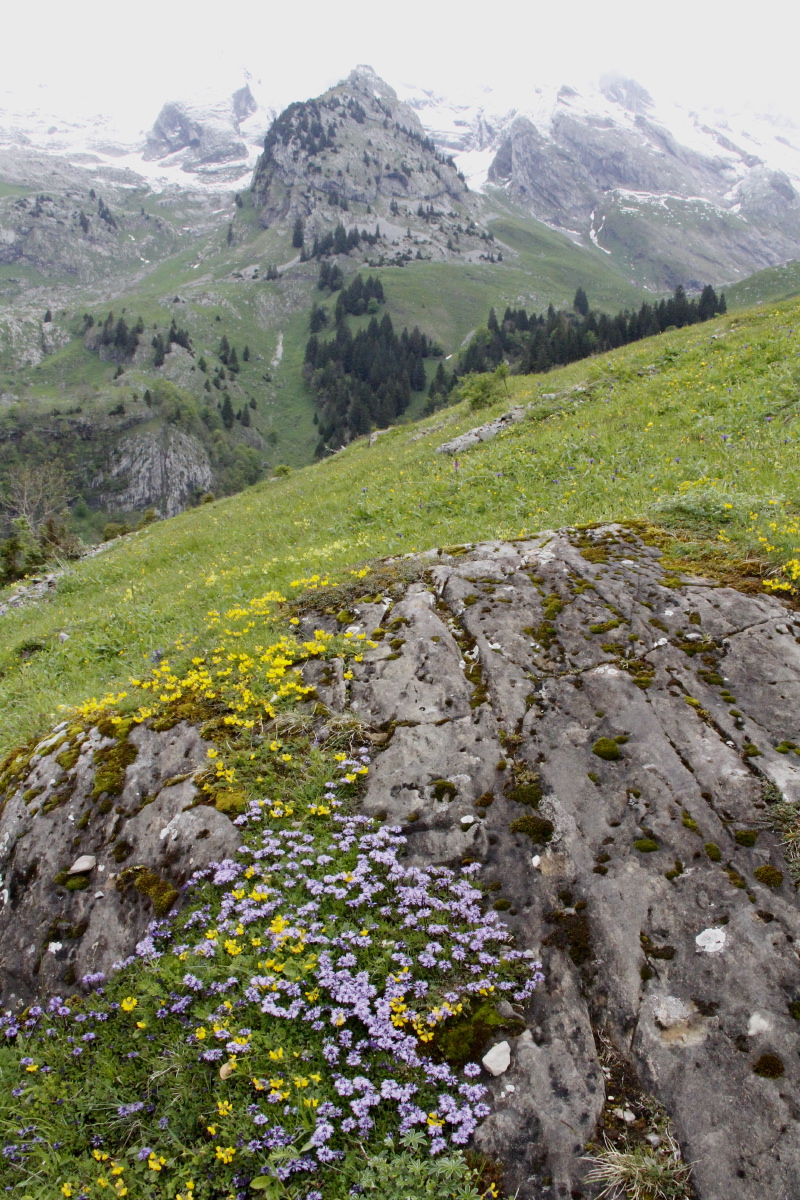
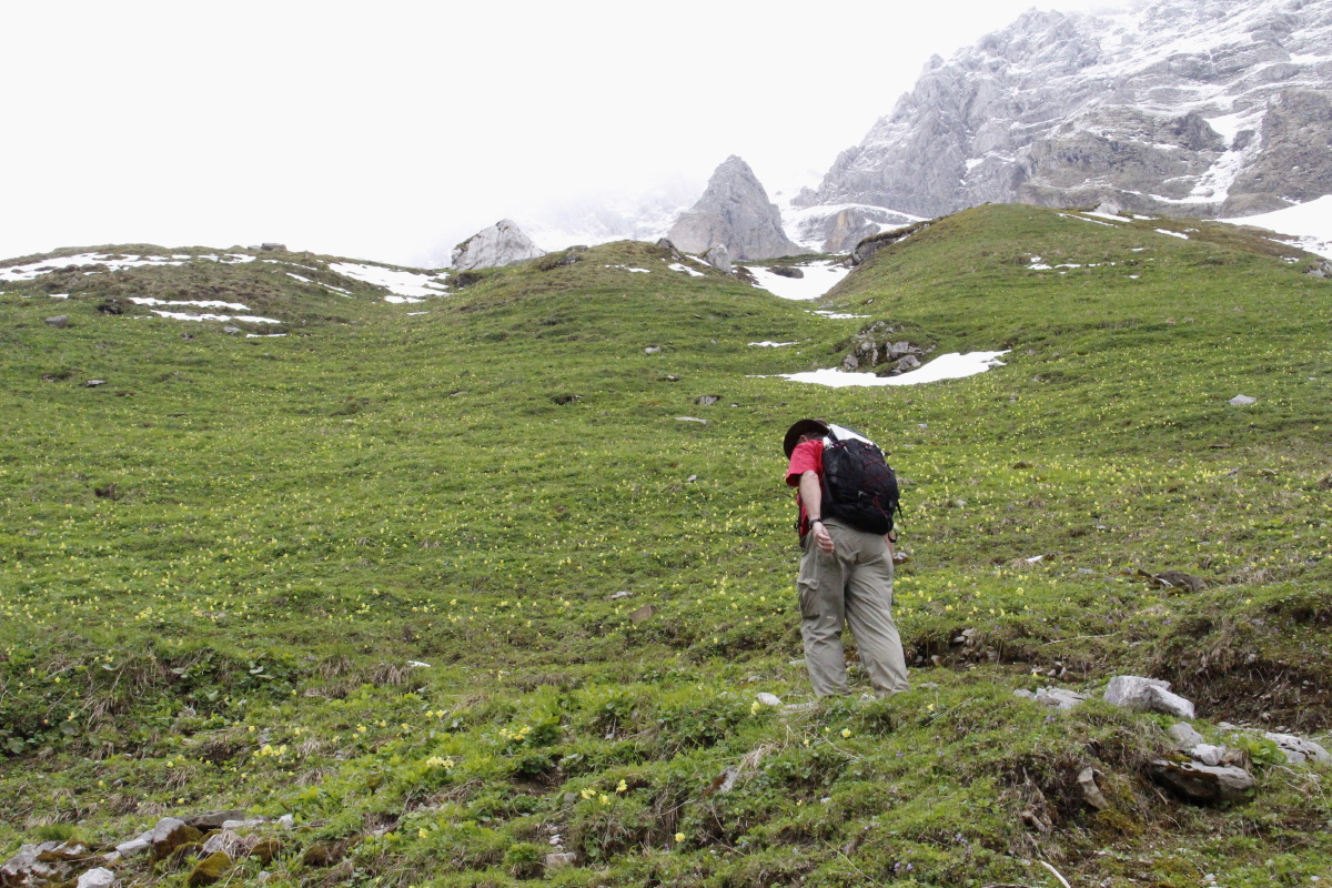
Plus spring flowers |
Looking North into
the Säntis massif |
Looking South back
to the Thur valley |
The highest of the
alpine cow-sheds |
|
|
|
|
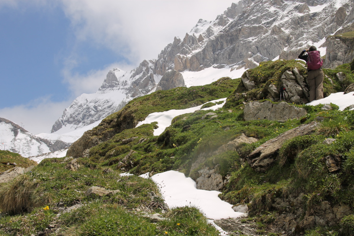
Up through the Oxlips |
Reaching the Target |
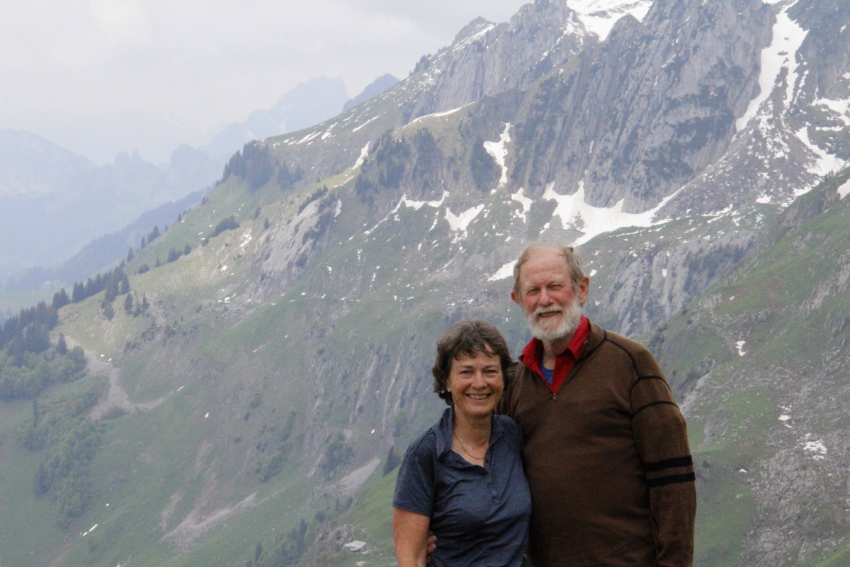
Lunch eaten,
selfies taken ... |
... and visibility improving |
|
|
|
|
Looking back down, to
Walk 5B in the right-side
hanging valley |
Linda at work ... |
... and some of the results |
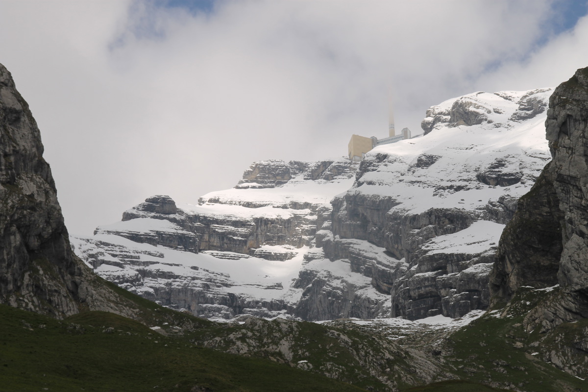
Säntis looming,
tantalisingly,
1000m above |
|
|
|
|
Glacier-strewn erratics,
with the Churfirsten beyond |
A view up to Säntis,
Schafberg on the right,
our walk between them |
A be-treed
medial moraine |
Above Alt St Johann,
south to the Churfirsten |
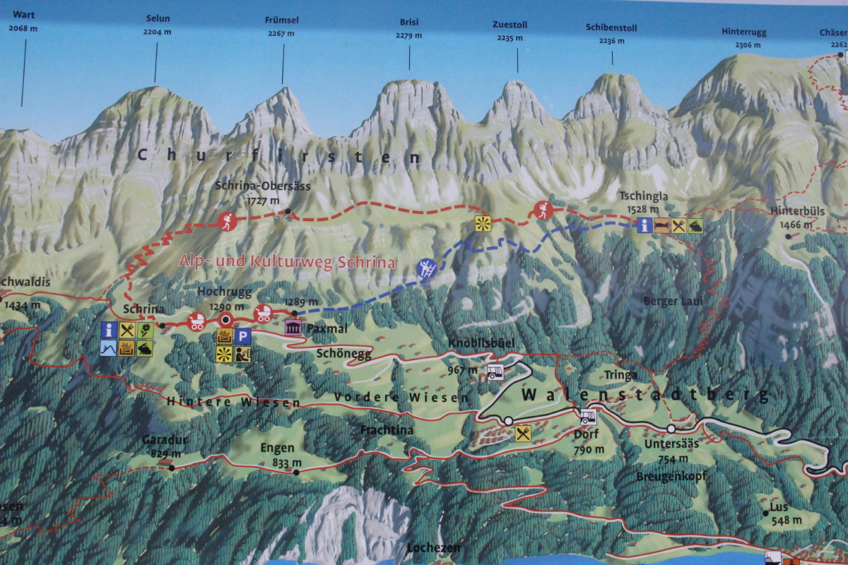
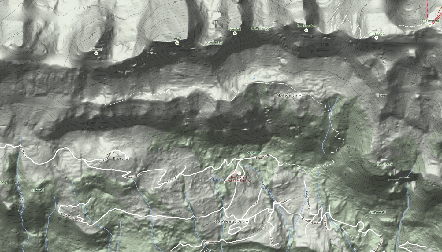
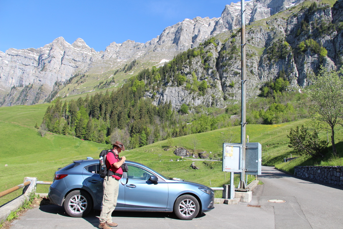
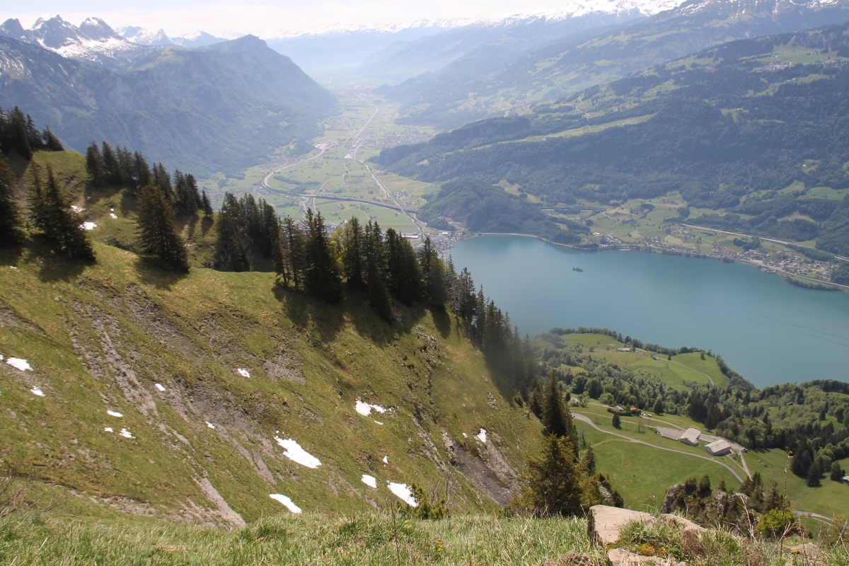
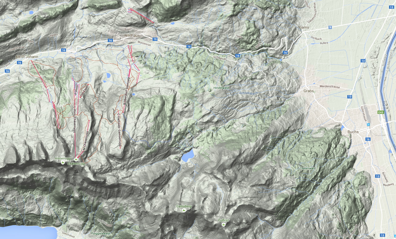
We drove up above Walenstadt, in order to walk beneath the Churfirsten's southern side.
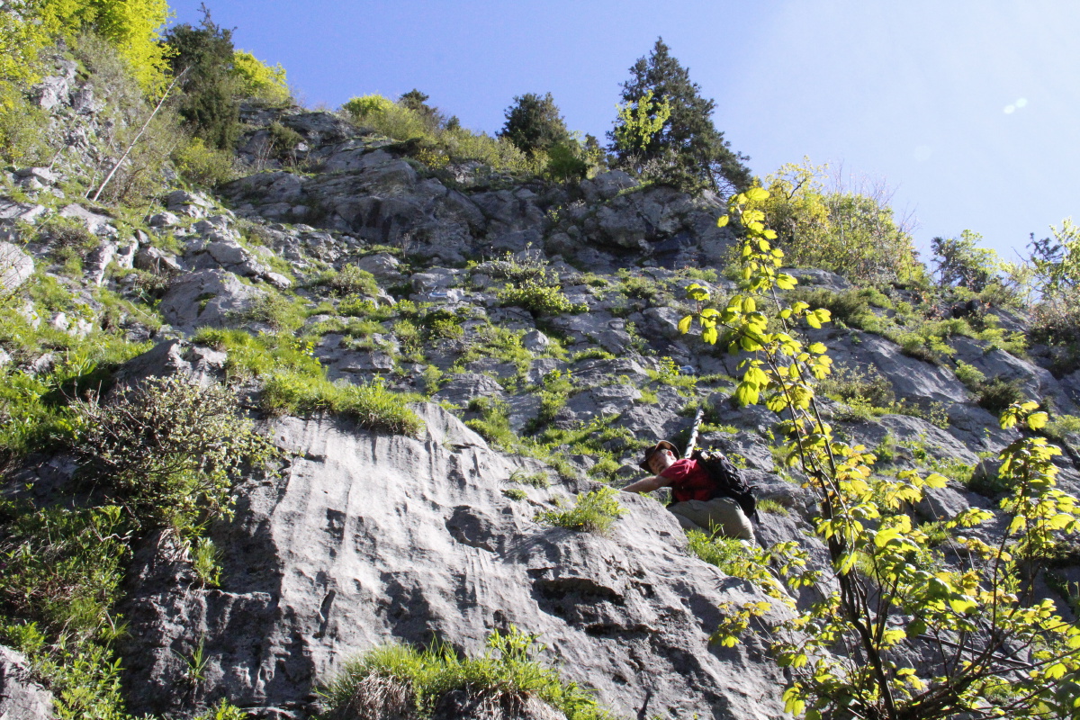
After a false start, checking out what turned out to be a climbing section, we walked west from Hochrugg,
then north and steeply up to Schrina-Obersäss, then eastwards along the shelf,
lunching beneath Zuestoll, and on to Tschingla beneath Schibenstoll (both seen from the other side in Walk 2).
The 430m rise in about 2km was more than Roger had bargained for that morning.
We did a total of 13km, with 650m of height. The weather was superb, the views striking.
|
|
|
|
The Panorama |
The Contour Map |
The View from the West |
And closer up |
| From centre-left to centre-right of the first photo, from left to right of the second. |
|
|
|
|
The start-point at Hochrugg,
the meadow-climb to the east |
The Selun and
Frümsel peaks |
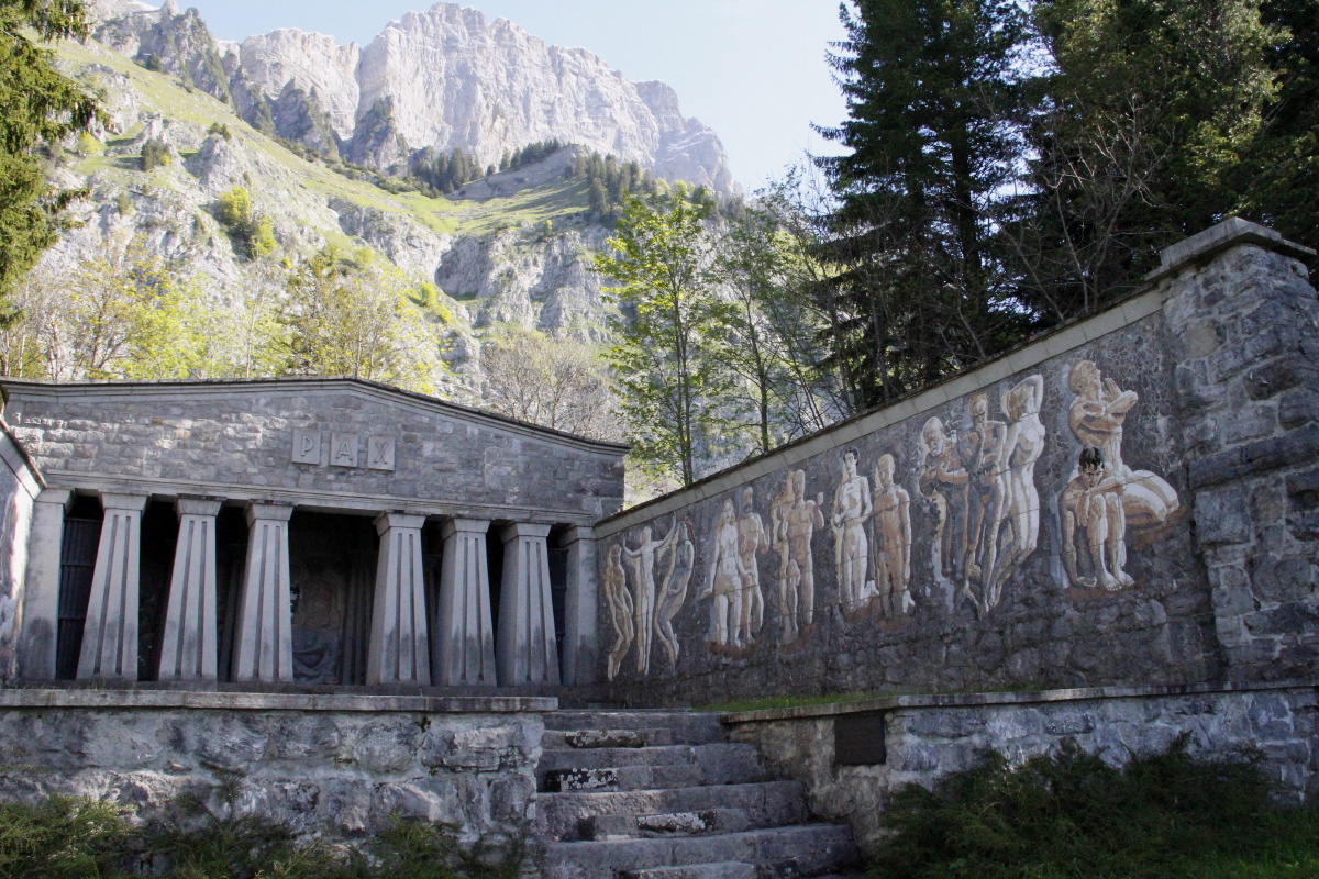
The odd Paxmal shrine,
and Brisi behind it |
The direct route nearby
(which we decided against!) |
|
|
|
|
Views expanding ... |
... as we quickly rise ... |
... 430m in 2km ... |
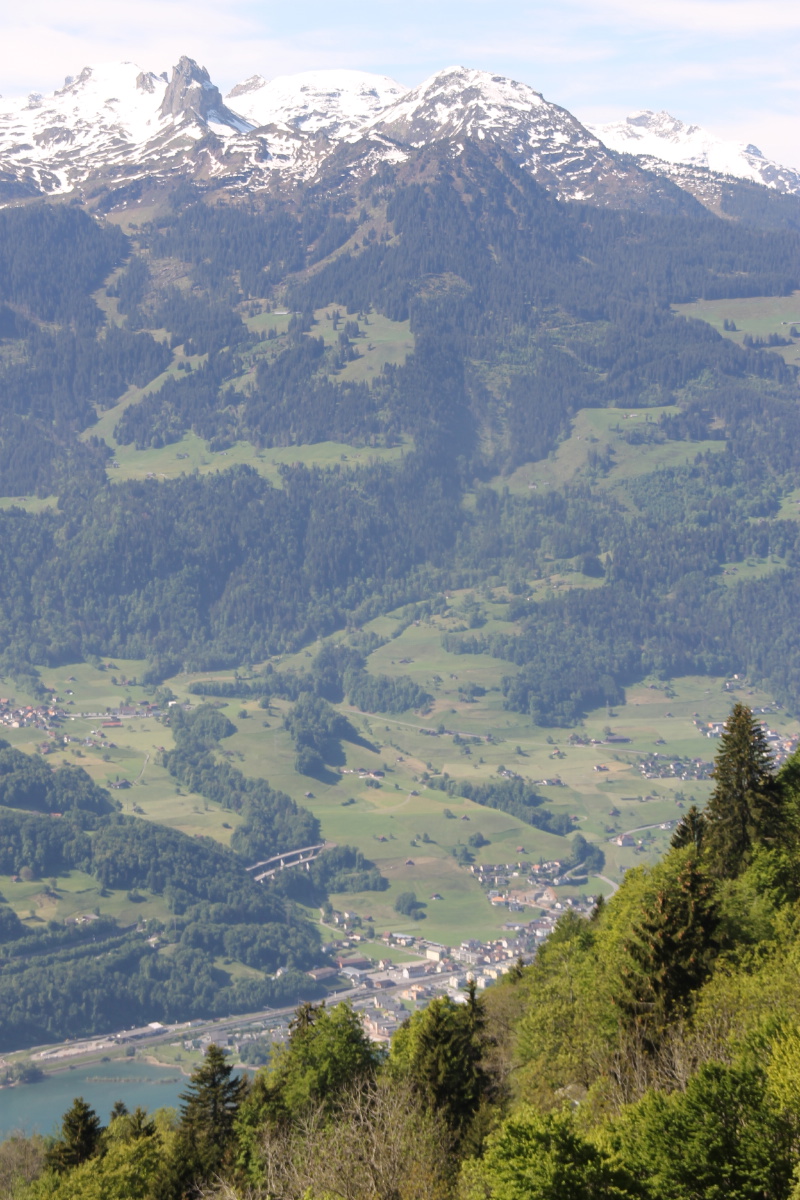
... Walensee now
1200m below us,
and the car 350m |
|
|
|
|
Views to the east
opening up |
Still rising to ... |
... 400m above the car |
Eastwards from the high
point, Schrina-Obersäss |
|
|
|
|
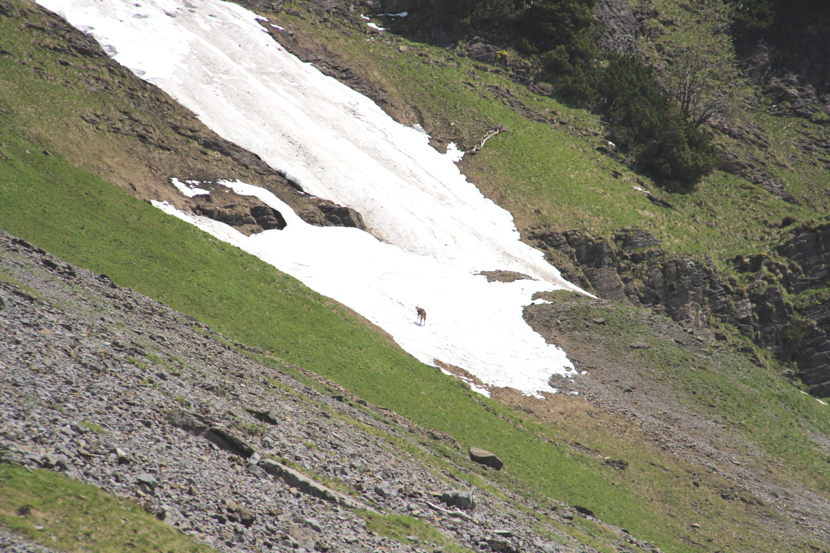
Along the Schrina shelf |
A Gemse/chamois
spinning on the snow |
Schibenstoll and
Hinterrugg |
The steep drop
beneath the shelf |
|
|
|
|
Used for photos ... |
... like this ... |
... and this |
Alpine landscape |
|
|
|
|
Lunch, with boots |
And views ... |
... beneath ... |
... and above |
| The Rhine valley is in the distance, a surprising 70m above the level of the Walensee. |
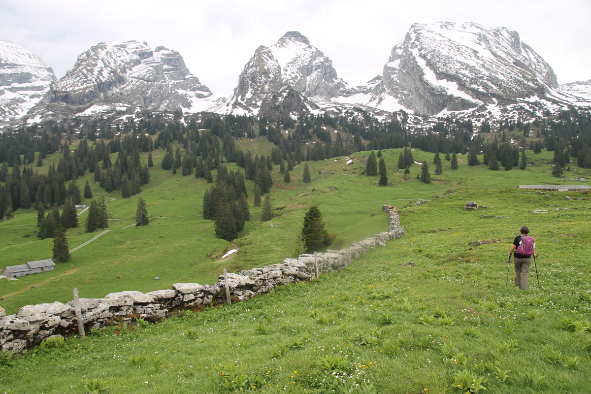
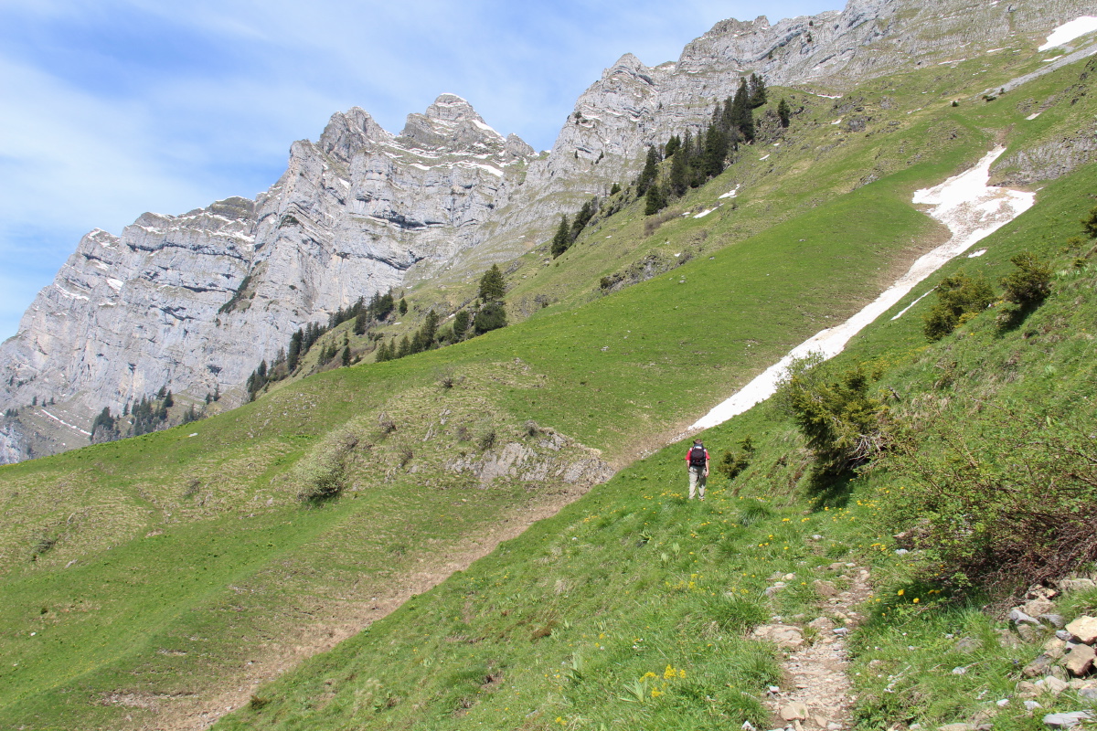
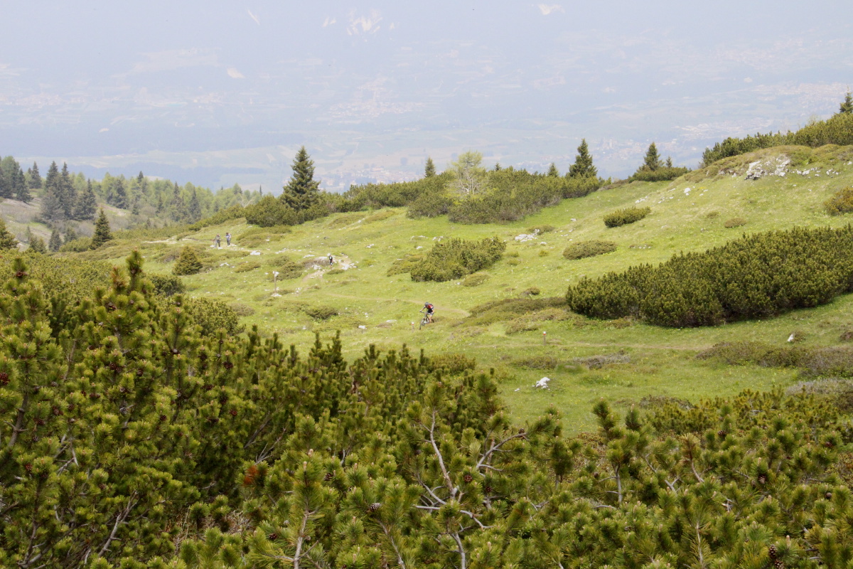
We did two short walks, so that we'd seen all corners of the area.
We drove down east of Wildhaus (which is the watershed), above the Rheintal,
and walked 3km / ±125m above an alpine lake c. 2kms east of Hinterrugg.
|
|
|
|
A contour map,
with the lake low-centre |
Starting in forest |
Rising up above Voralpsee |
Looking east
into the Rheintal |
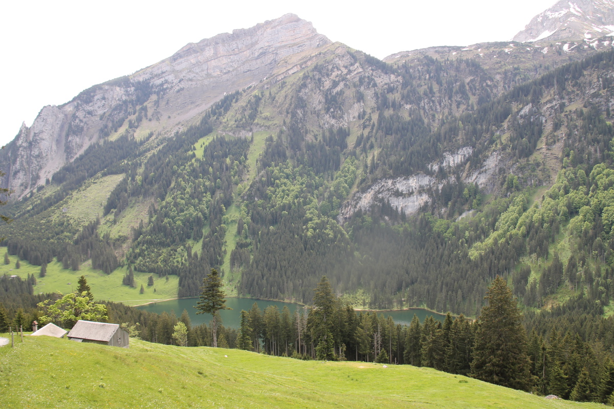
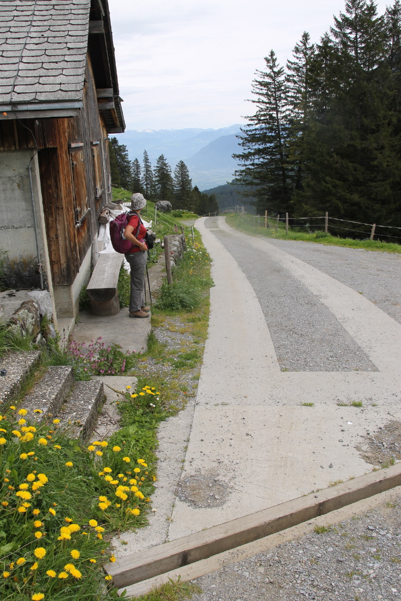
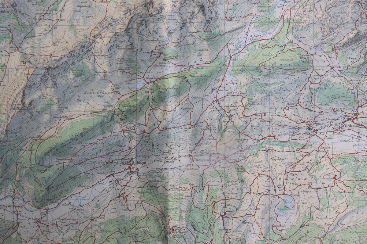
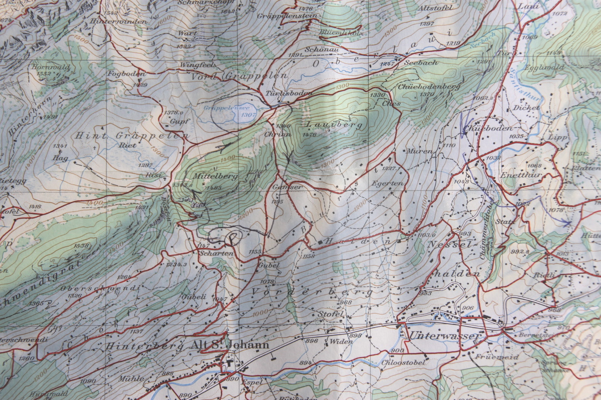
We then drove back to 250m above Alt St Johann, and walked 4km / ±275m up into the hanging valley of Gräppelen,
lunching (a little late) above a treasure inaccessible to summer busloads.
|
|
|
|
A general map |
A more detailed
map of the walk |
Above Alt St Johann ... |
... looking east, down
the Thur valley |
|
|
|
|
Over the lip, into
the hidden valley |
A large sink-hole ... |
... draining through
the ridge beneath us |
Arriving at
Gräppelensee |
|
|
|
|
The lake ... |
... the setting ... |
... and the light ... |
invited too many photos |
|
|
|
|
Schafberg (almost the
reverse shot of
one taken on Walk 3) |
The Schafboden hut is
visible halfway up.
The original target,
Rotsteinpass, is at the top |
From the ridge,
Säntis stood proud |
Topping the ridge,
the view south,
to the Churfirsten |
|
|
|
|
To finish cutely,
a beech-wood ... |
... haymaking on
the valley-sides ... |
... the Churfirsten,
for the last time ... |
... and the Thur valley |
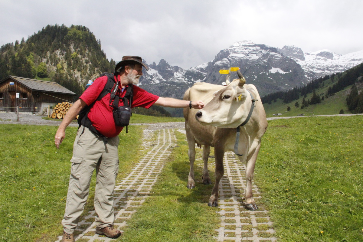
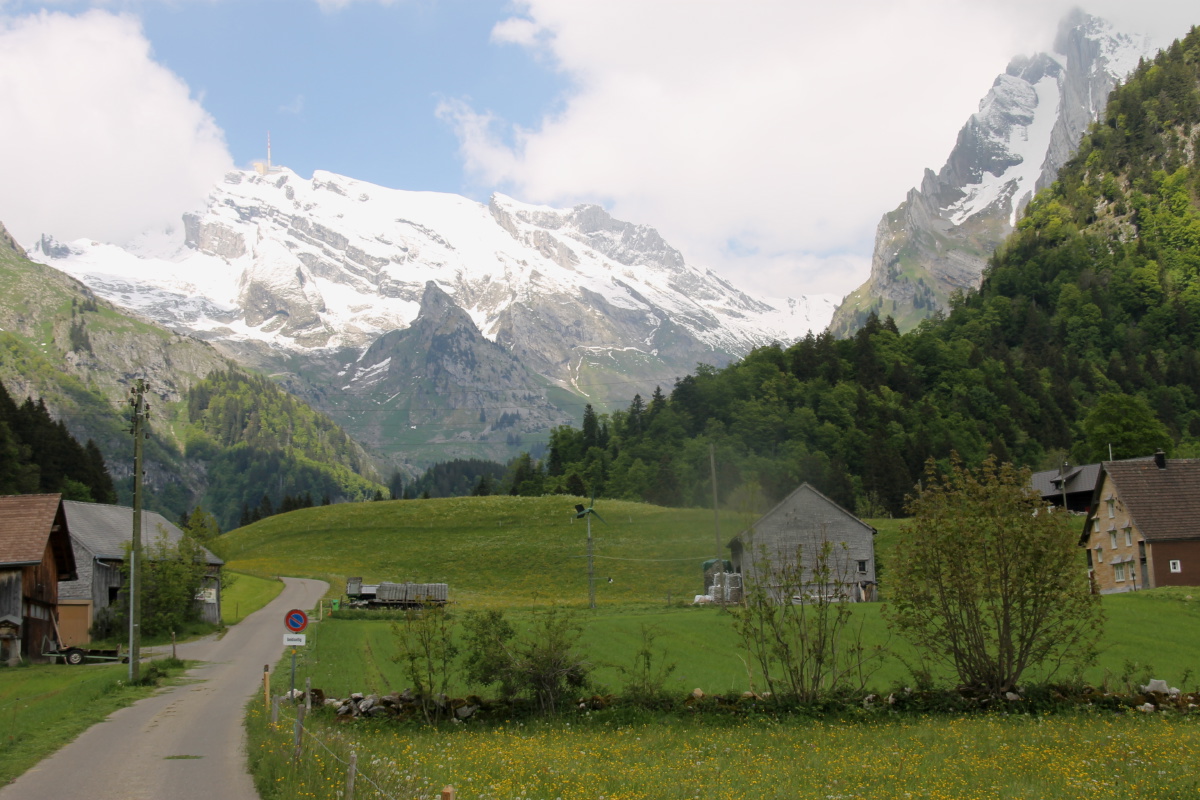
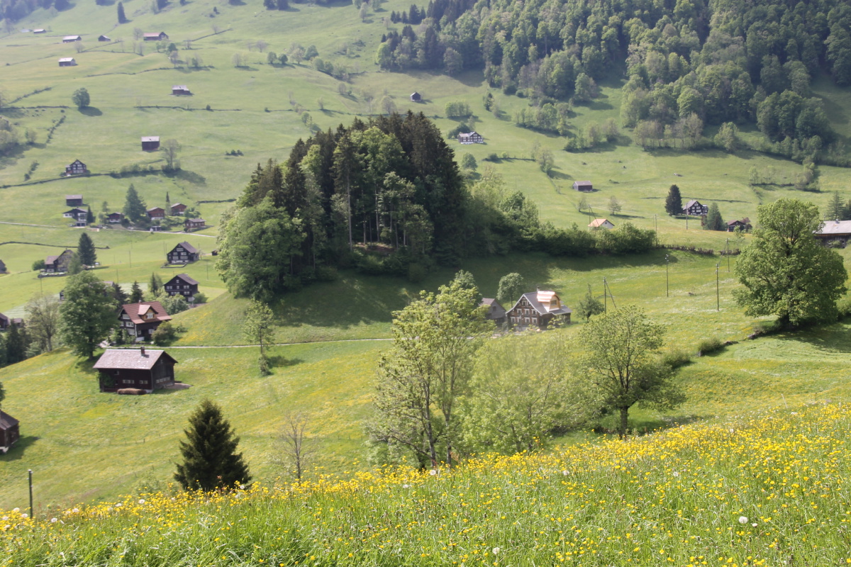
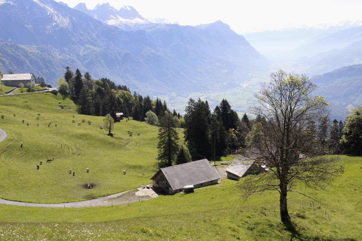
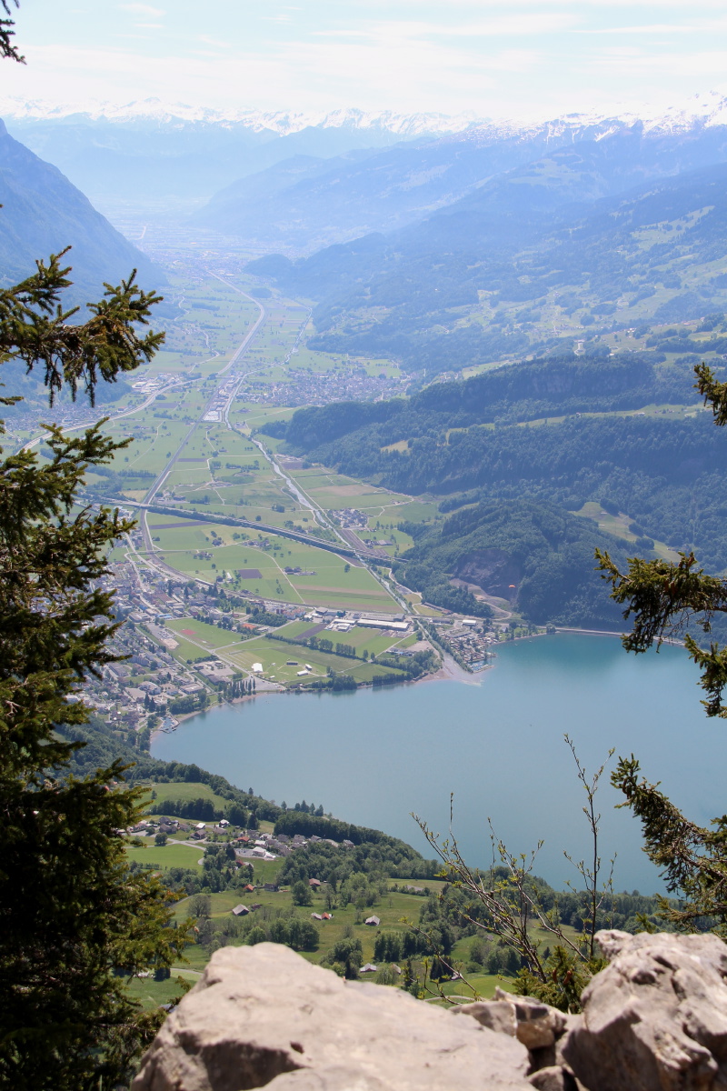
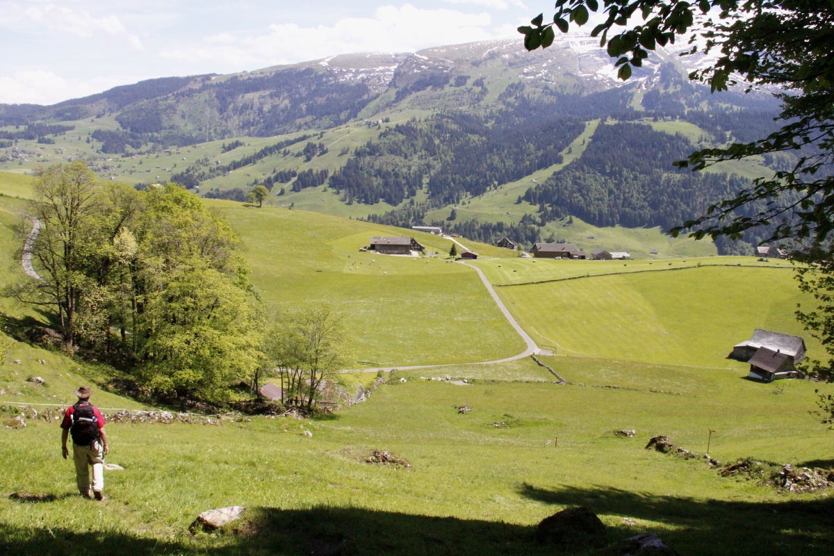
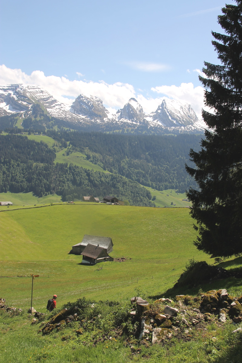
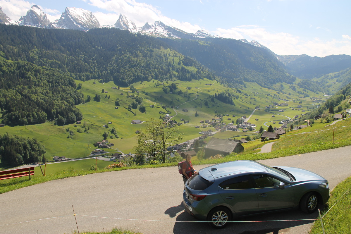
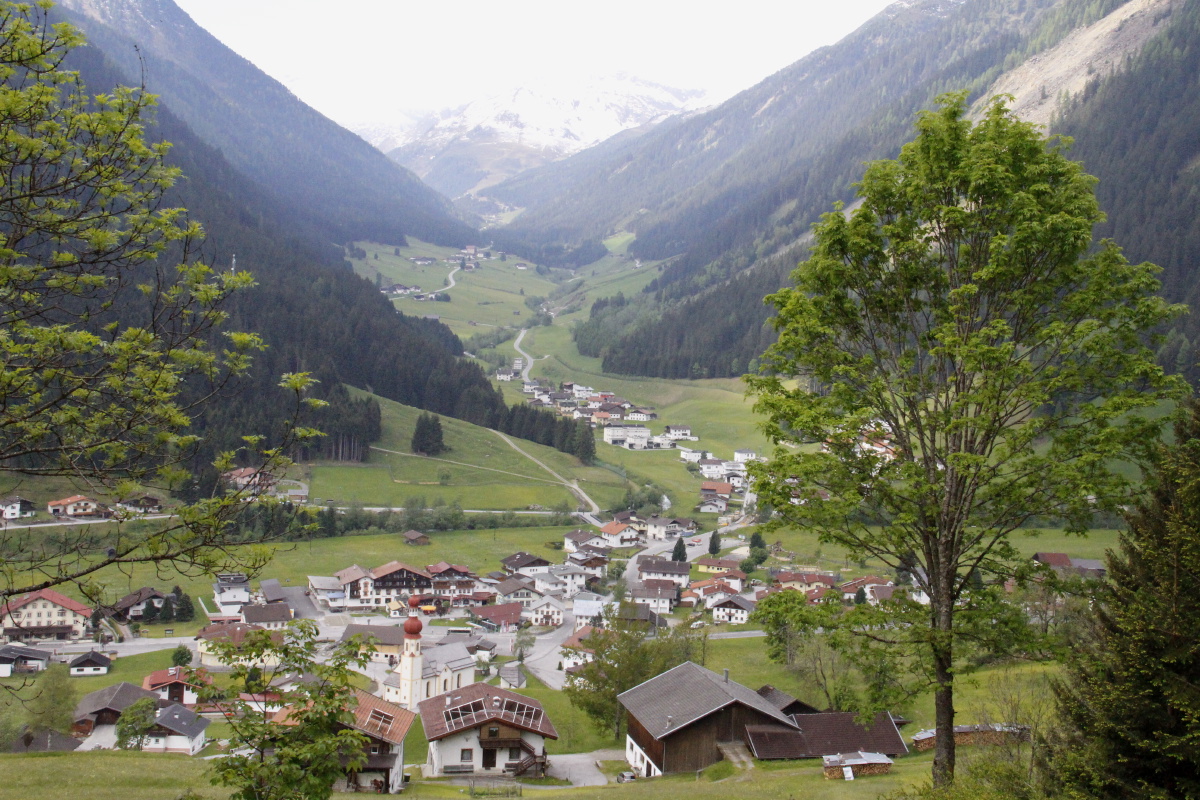
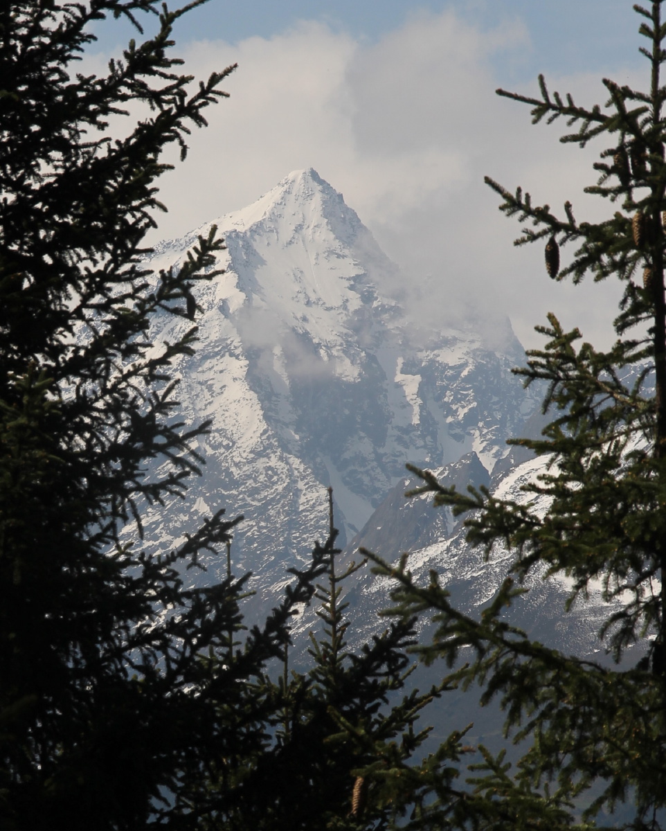
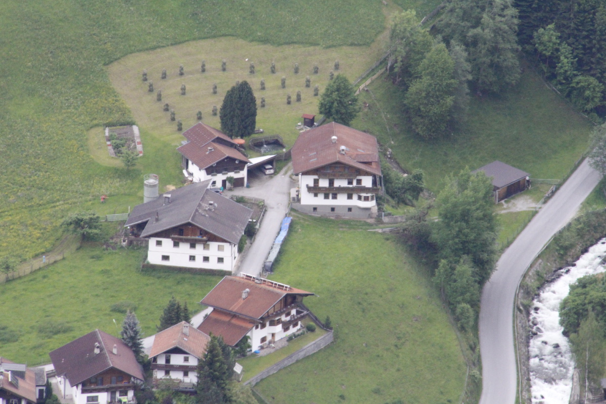
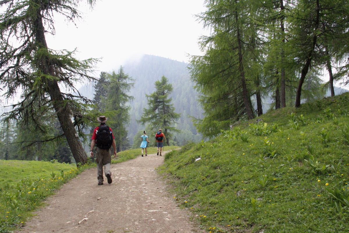
Austria – End of May 2015
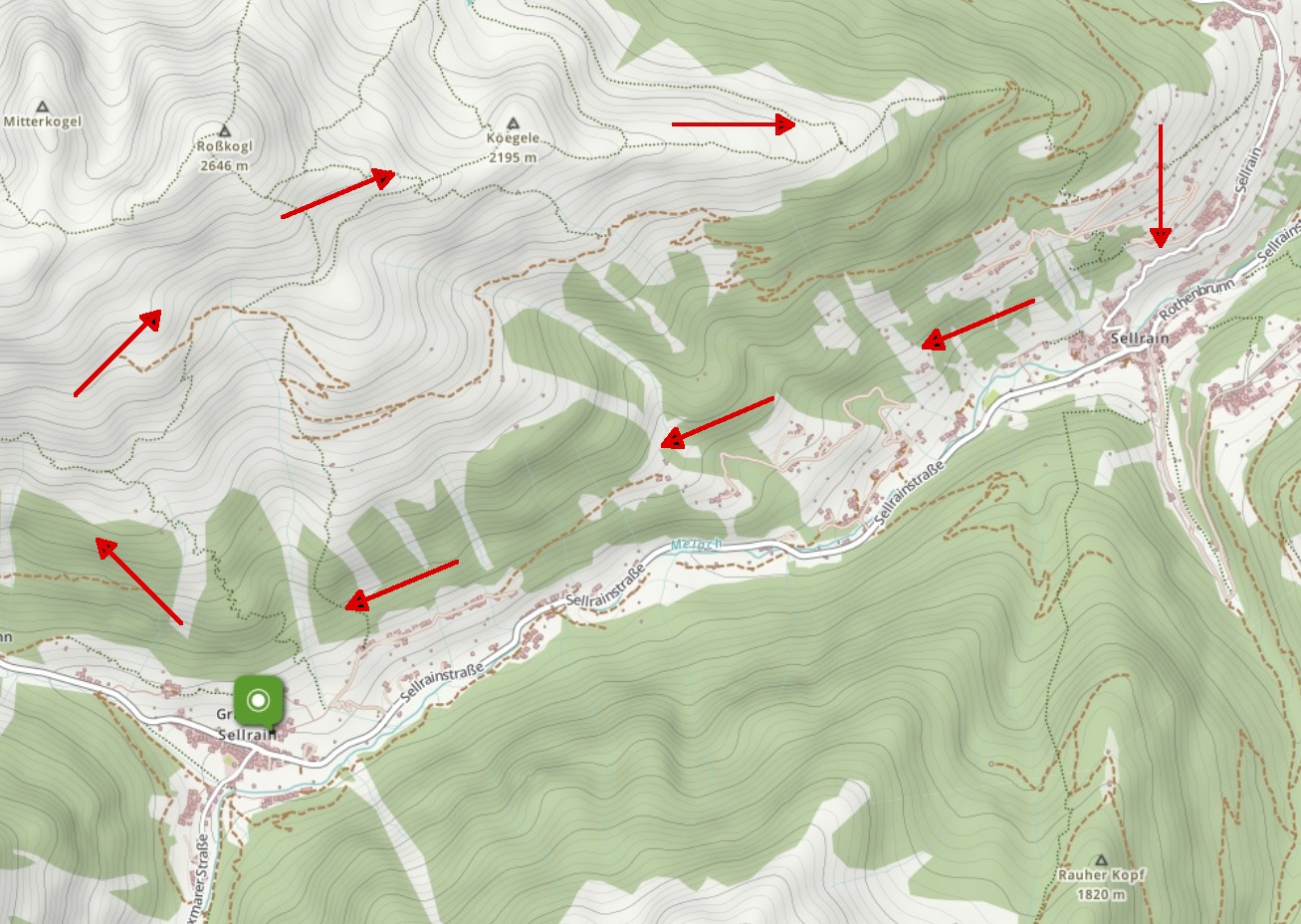
We spent two nights in the Sellrain, an obscure valley south of Innsbruck.
The village of Gries is at 1190m, and a steep 750m / 2-hour walk up from the
village got us onto a high-level walk,
peaking at 2250m (a bit above Koscisuko), with views all around
to 2800-3300m.
The total was about 18-20km and 1250m of height. Here are
a map of the area,
and a map of the walk
|
|
|
|
Leaving Gries im Sellrain |
Up through the forest |
The Lüsener Fernerkogel
all 3300m of it |
Looking southwards,
up the Lüsenertal |
|
|
|
|
On up into
sub-alpine fields |
The Lüsenertal
south towards Paxmar |
The Roßkogl above us |
Looking SE
towards the Brenner |
|
|
|
|
Again towards the SE |
Again SE, towards the
village of Sellrain |
Later, and closer |
Eastwards, looking
out over Innsbruck |
|
|
|
|
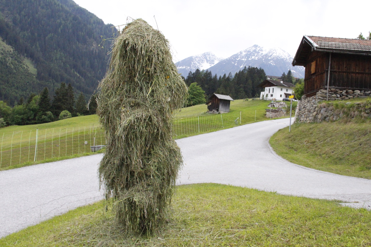
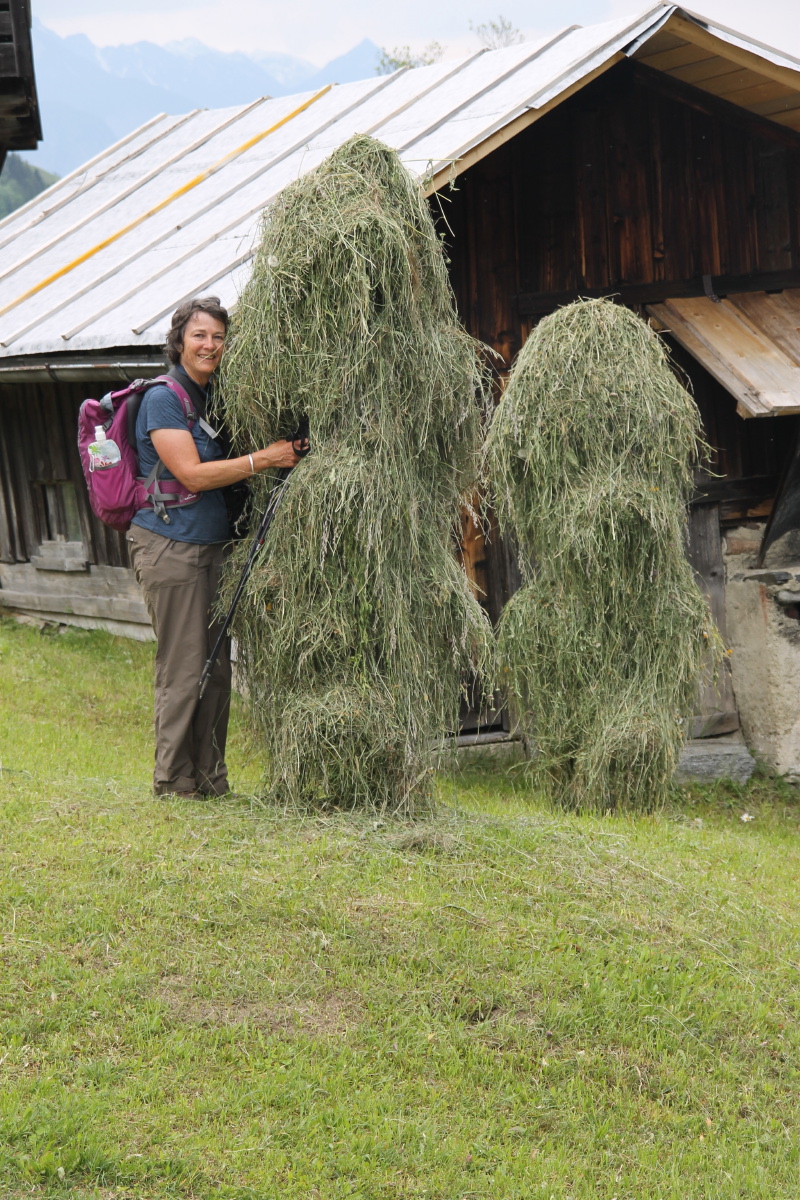
Meadow flowers
along the Besinnungsweg |
Stooks across
the valley |
Another 'hay-ghost' ... |
... worth a cuddle |
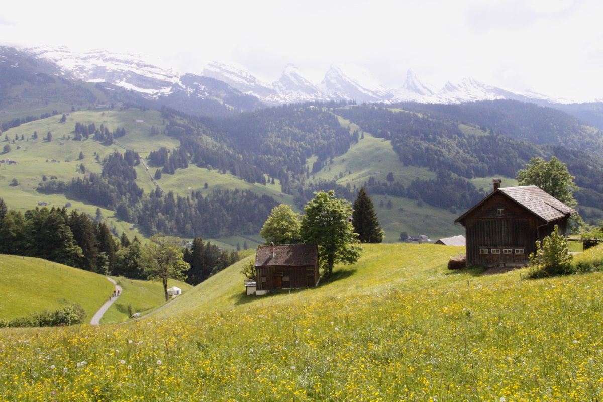
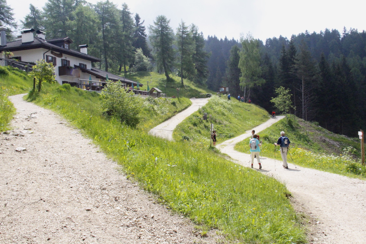
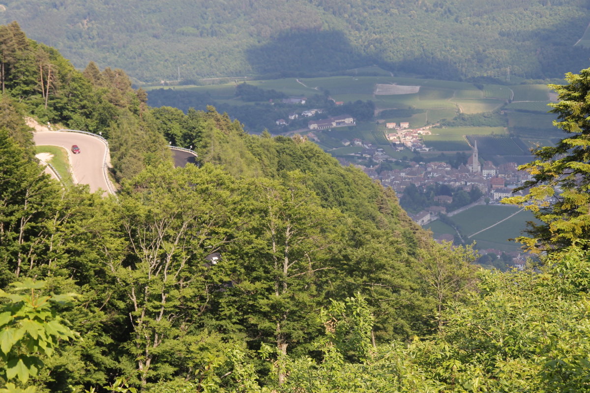
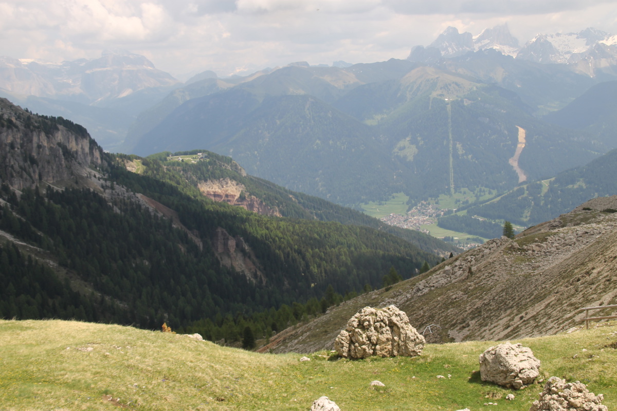
The Dolomites – Early June 2015
We spent two nights in Ronzone, near Fondo in the Val de Non (SW of Bolzano), followed by
three nights with Bob and Lucia, proprietors of the Dolomites Inn in Penia, near Canazei (E of Bolzano).
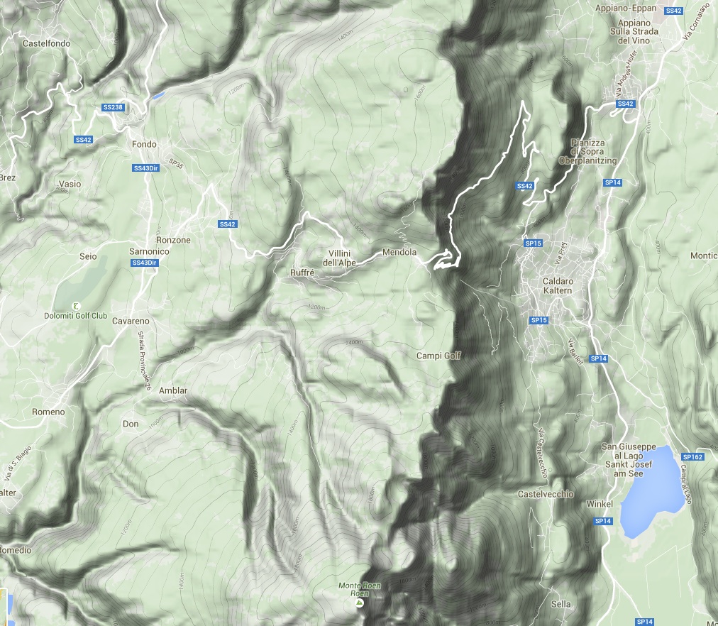
About 16km and 800m from Passo Mendola south along the ridge to the local high-point, Mont Roen (2116m).
The ridge separates the Val di Non from the Alto Adige, and overlooks the Kalterersee.
Here's an area map
Much of the walk was in forest, but with a clear summit, improving visibility as the day wore on, and long views.
|
|
|
|
Initially a track
through forest |
The Mezza Hut,
yes, about halfway |
Yellow Gentians ... |
... at last seen
in full bloom |
|
|
|
|
The views gradually
emerging from the mist |
Cyclists joining the
party, with Fondo
out to the West |
View down eastwards
beside the peak |
Lunch west of the peak
to avoid the throng |
|
|
|
|
View east to the
Alto Adige valley |
The track back
at c. 2000m |
And horses as well |
Back at the Pass,
by now in sunlight |
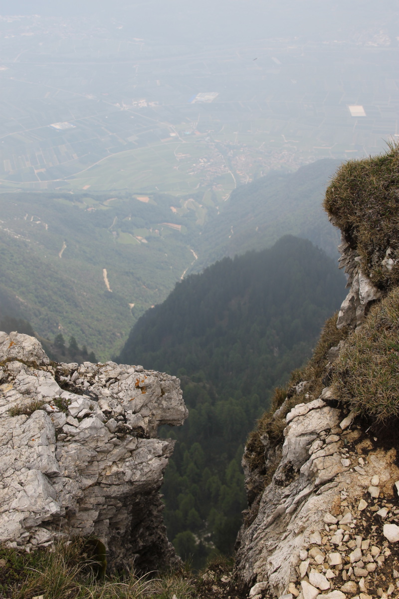
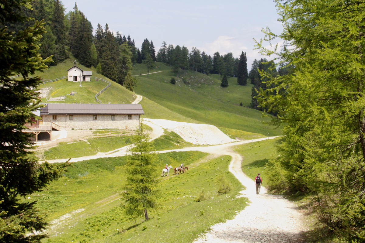
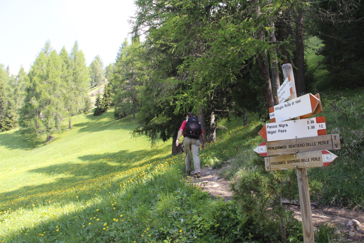
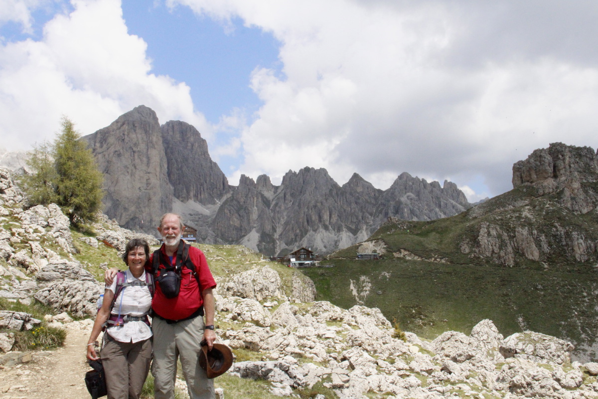
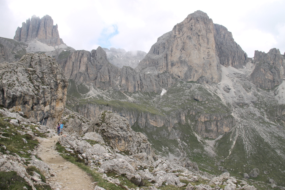
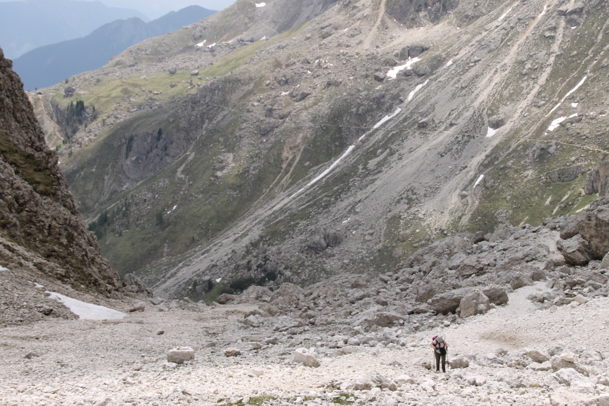
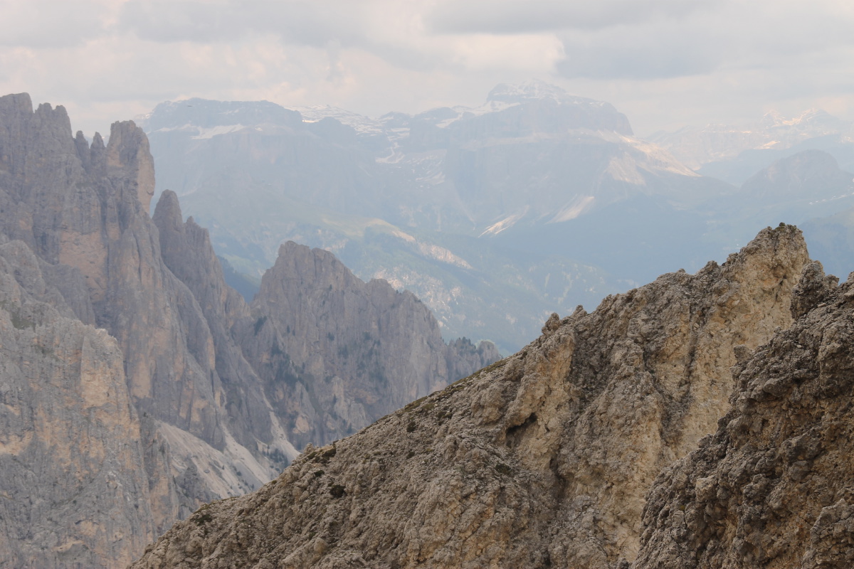
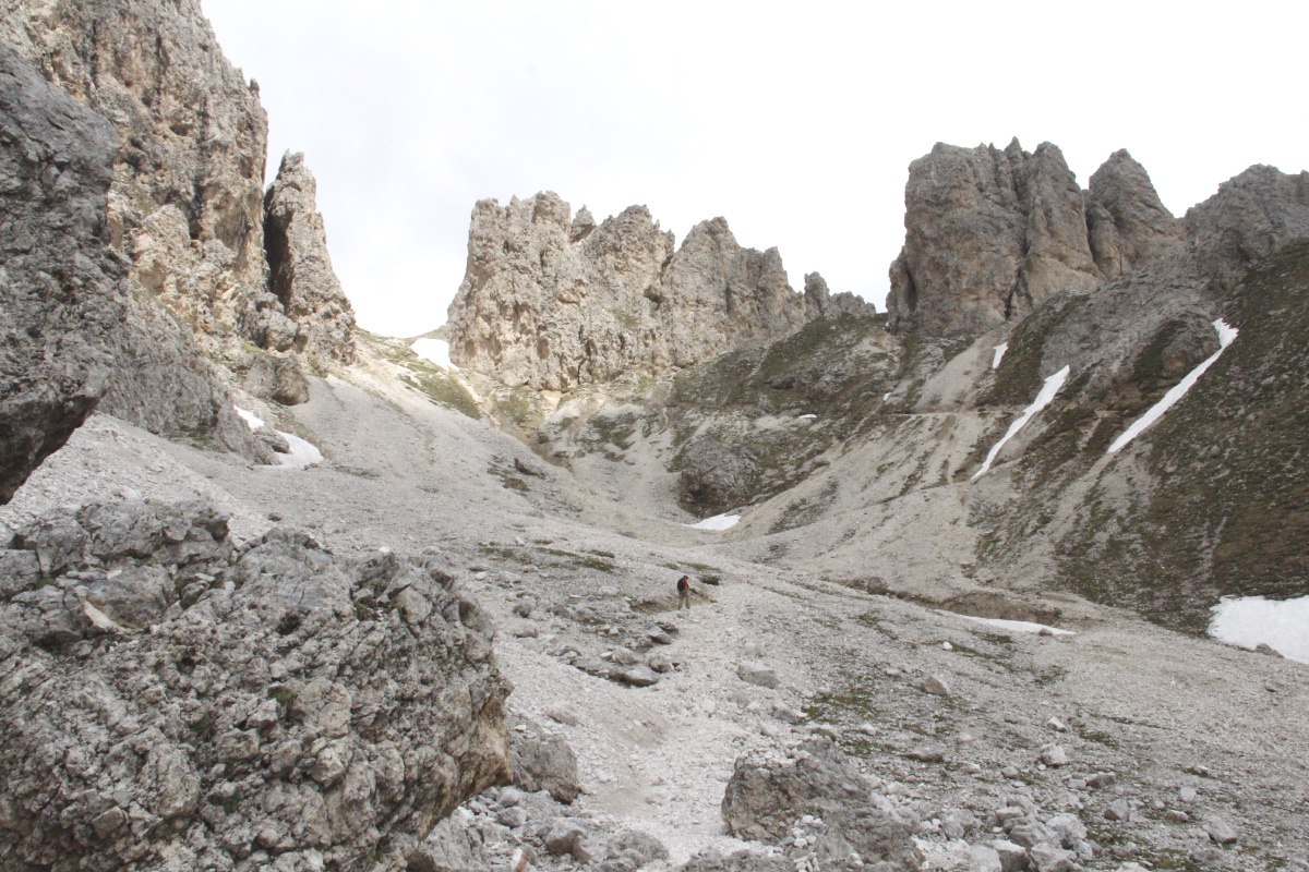
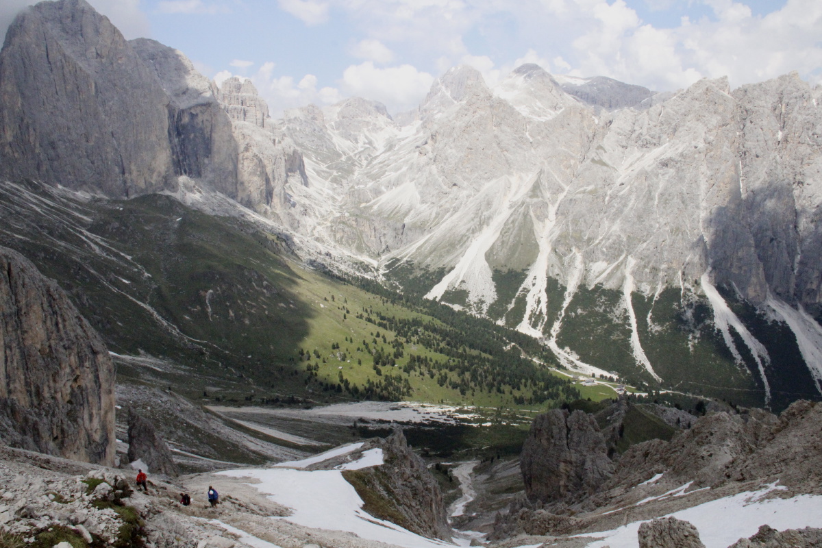
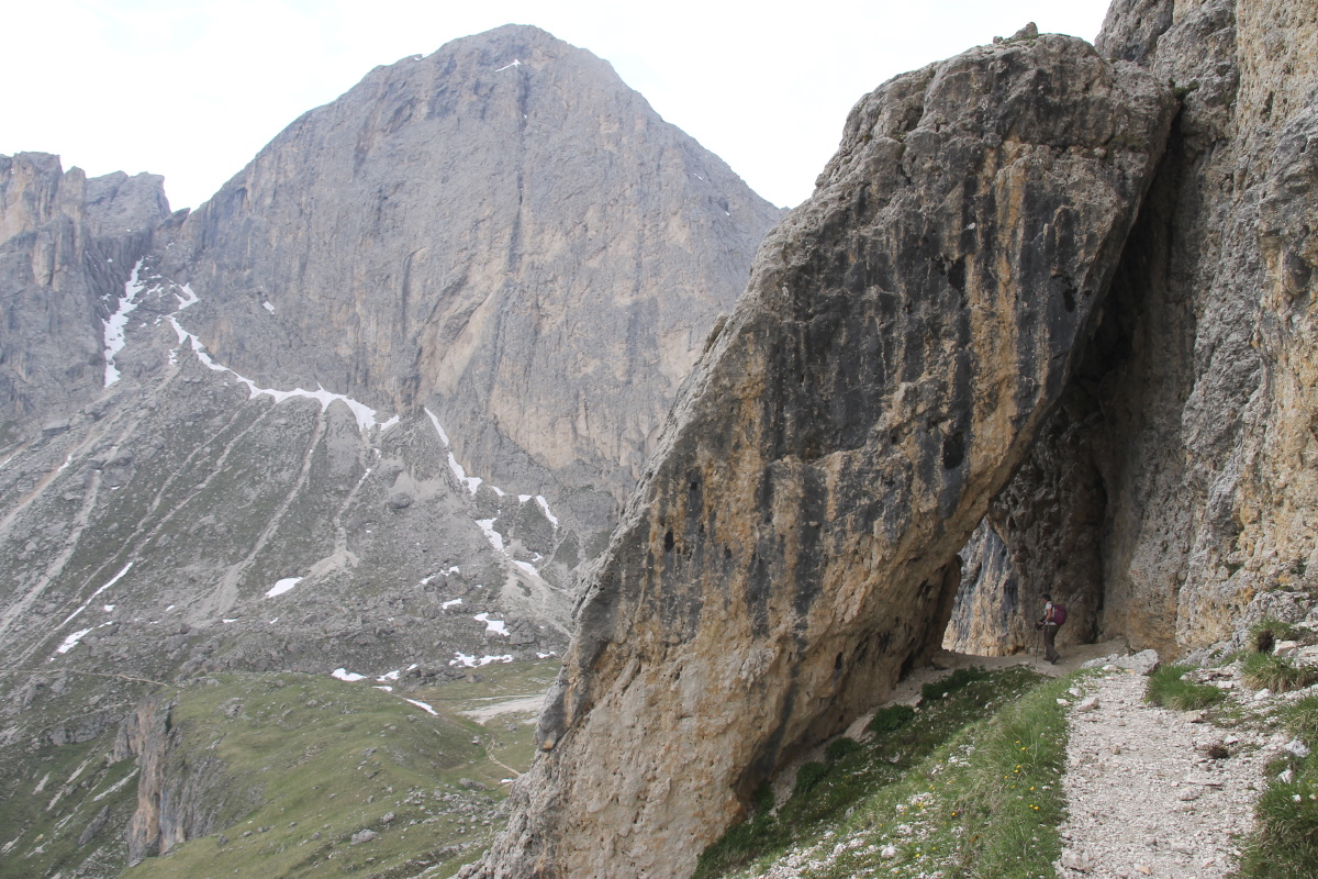
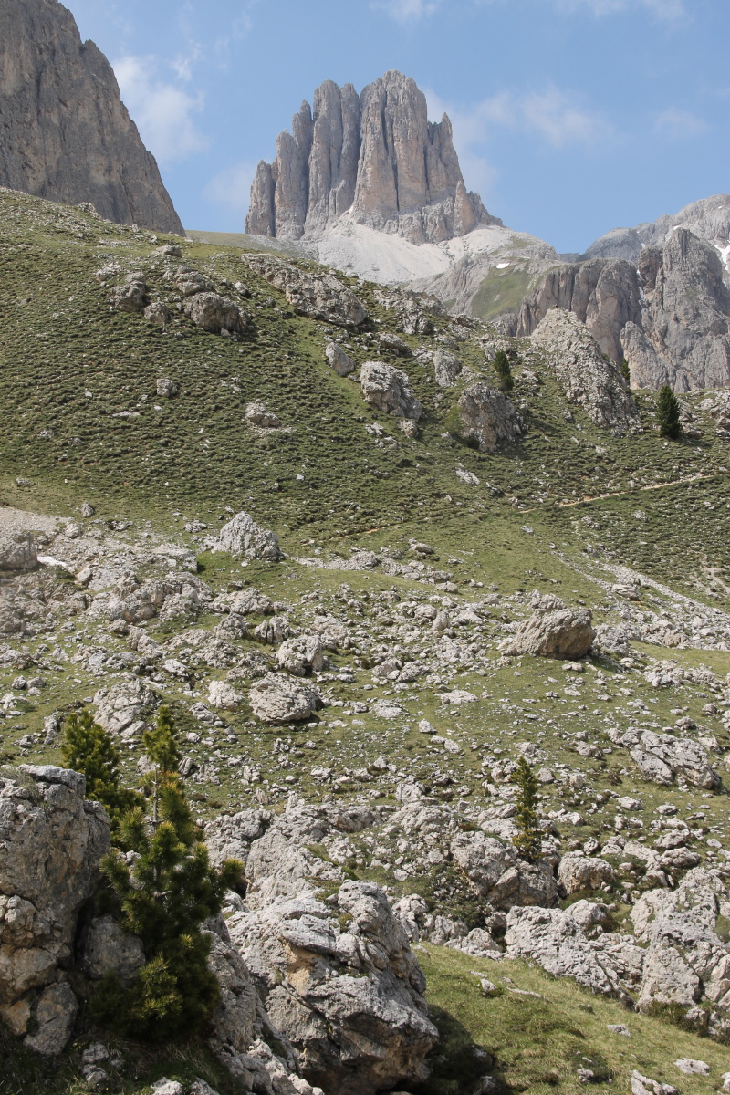
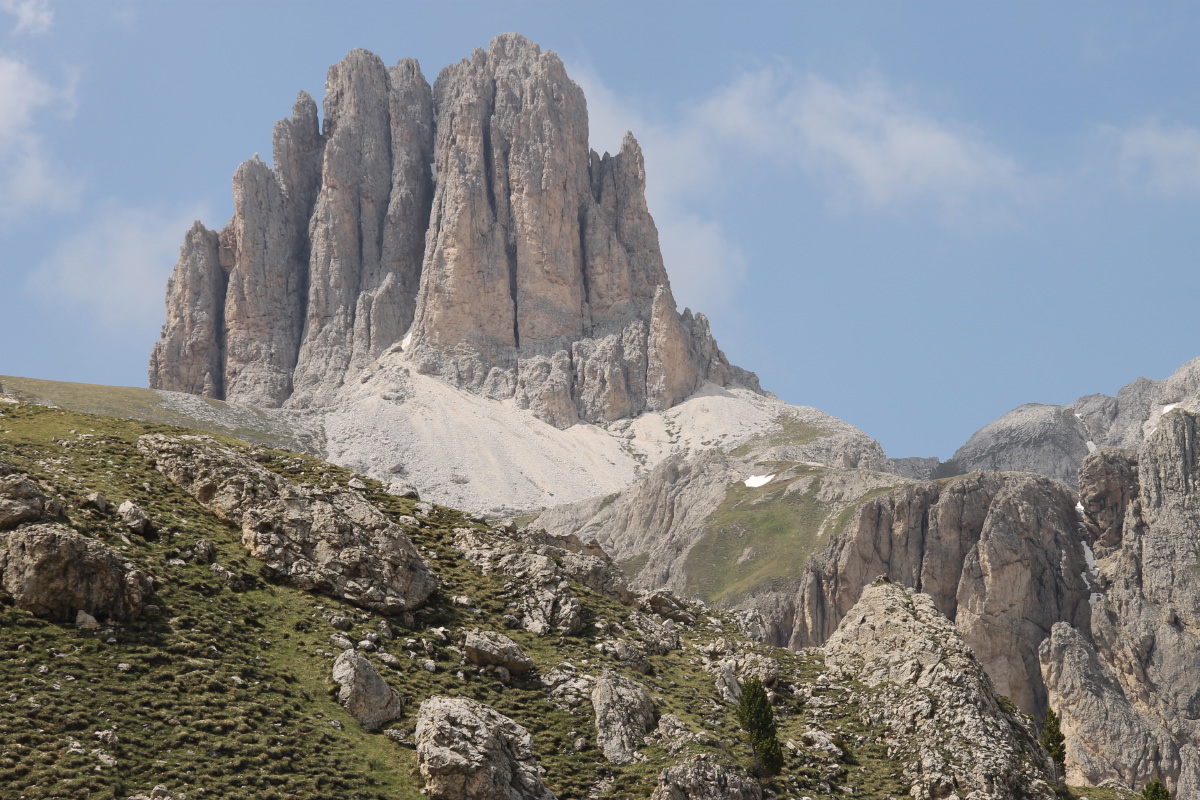
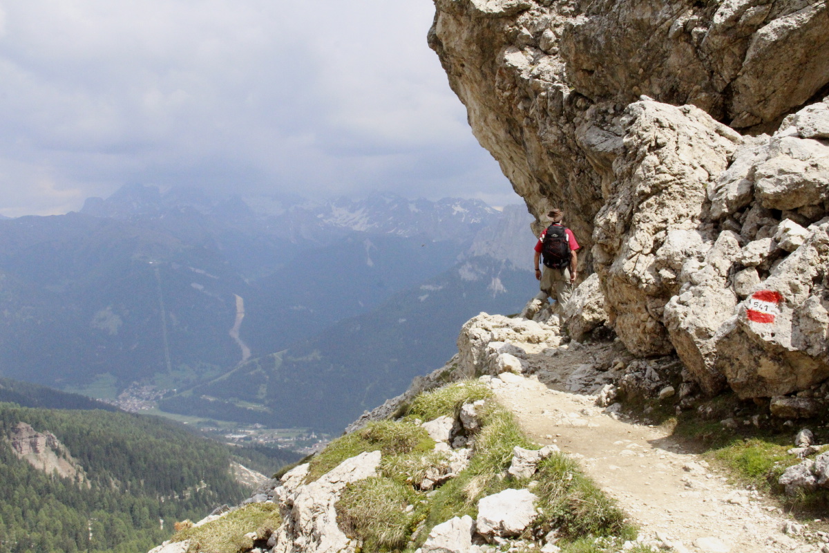
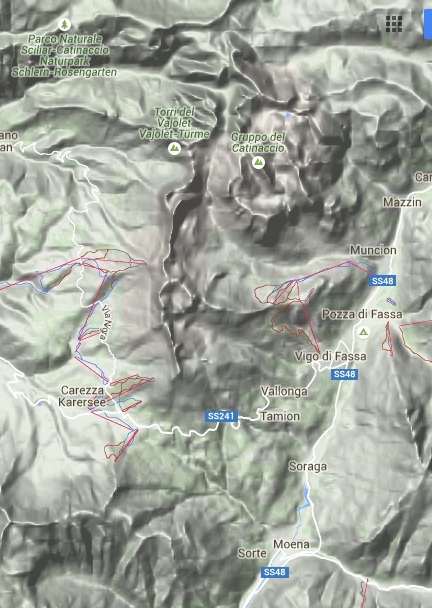
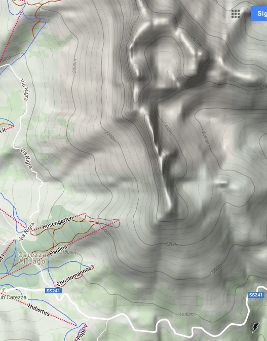
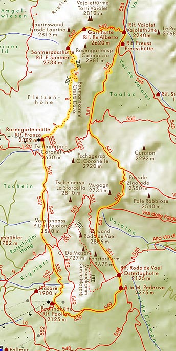
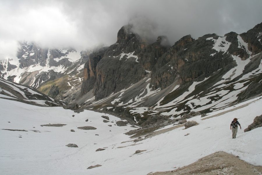
From Passo di Costalunga / Karerpass (1745m) up to Passo delle Zigolade (2551m).
This provided both panoramic views and a sense of being up amongst the pinnacles.
About 13km, with 825m of height, with steep first and last sections (each 400m),
and
a
contour
walk in-between.
Here are not-very-good maps: an area map and
a map covering the walk-area only (centre-bottom to top-right).
Also, on this map, out on paths 552-539-549-541, back on 541-548.
|
|
|
|
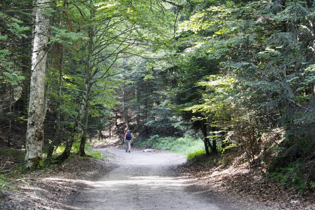
Briefly in forest |
After the first climb,
above Rifugio Paolina,
at c. 2140m |
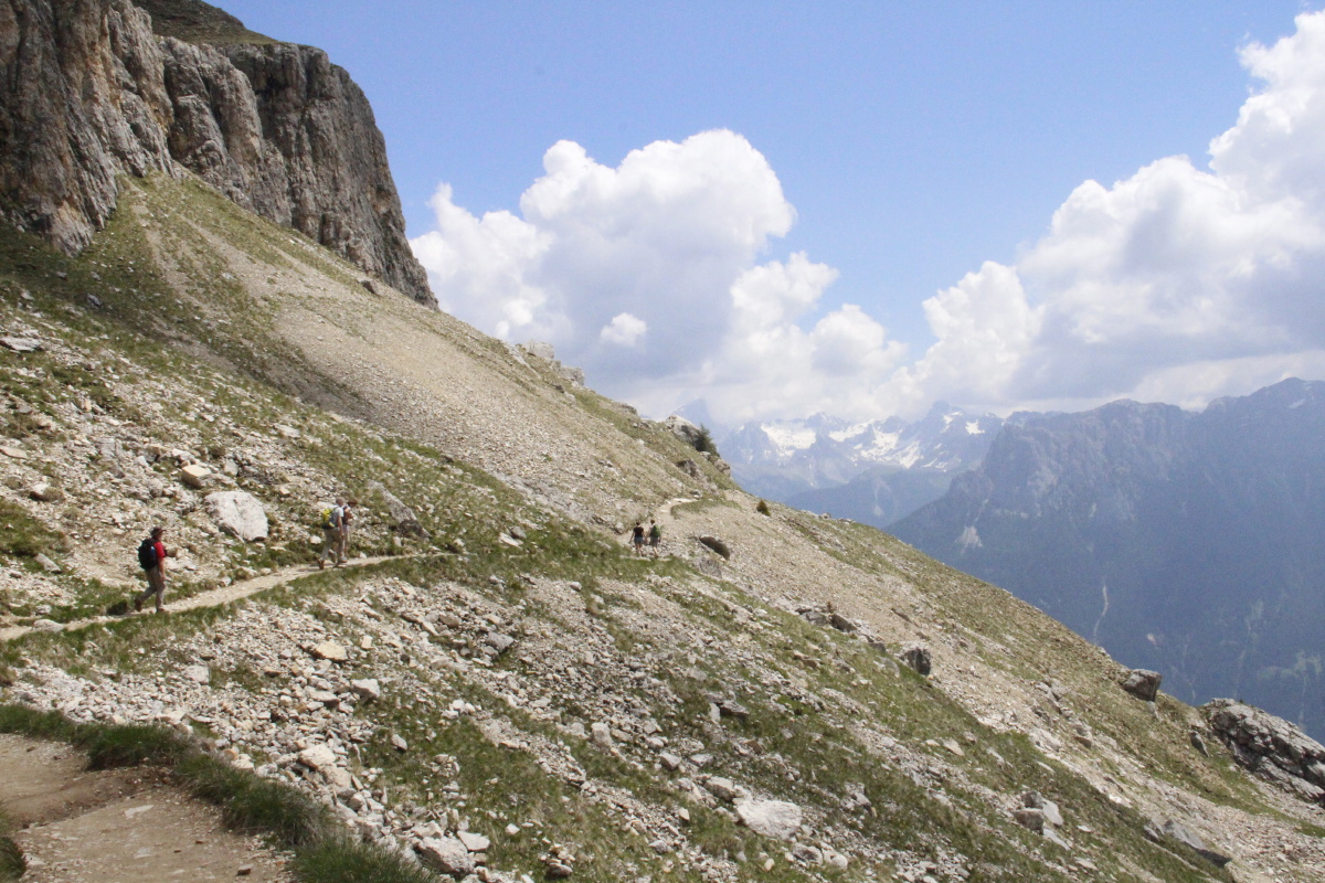
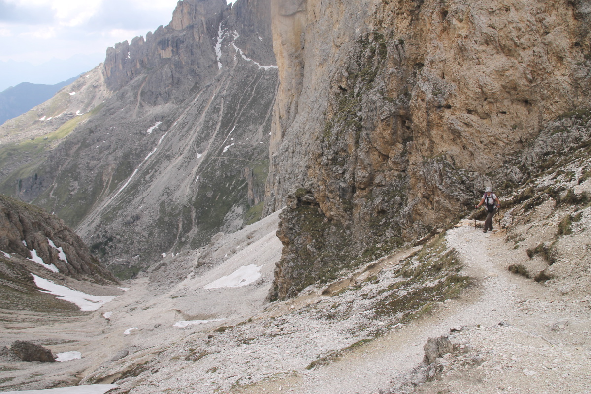
The contour path,
on the Southern
then Eastern flank |
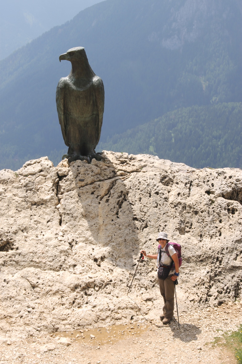
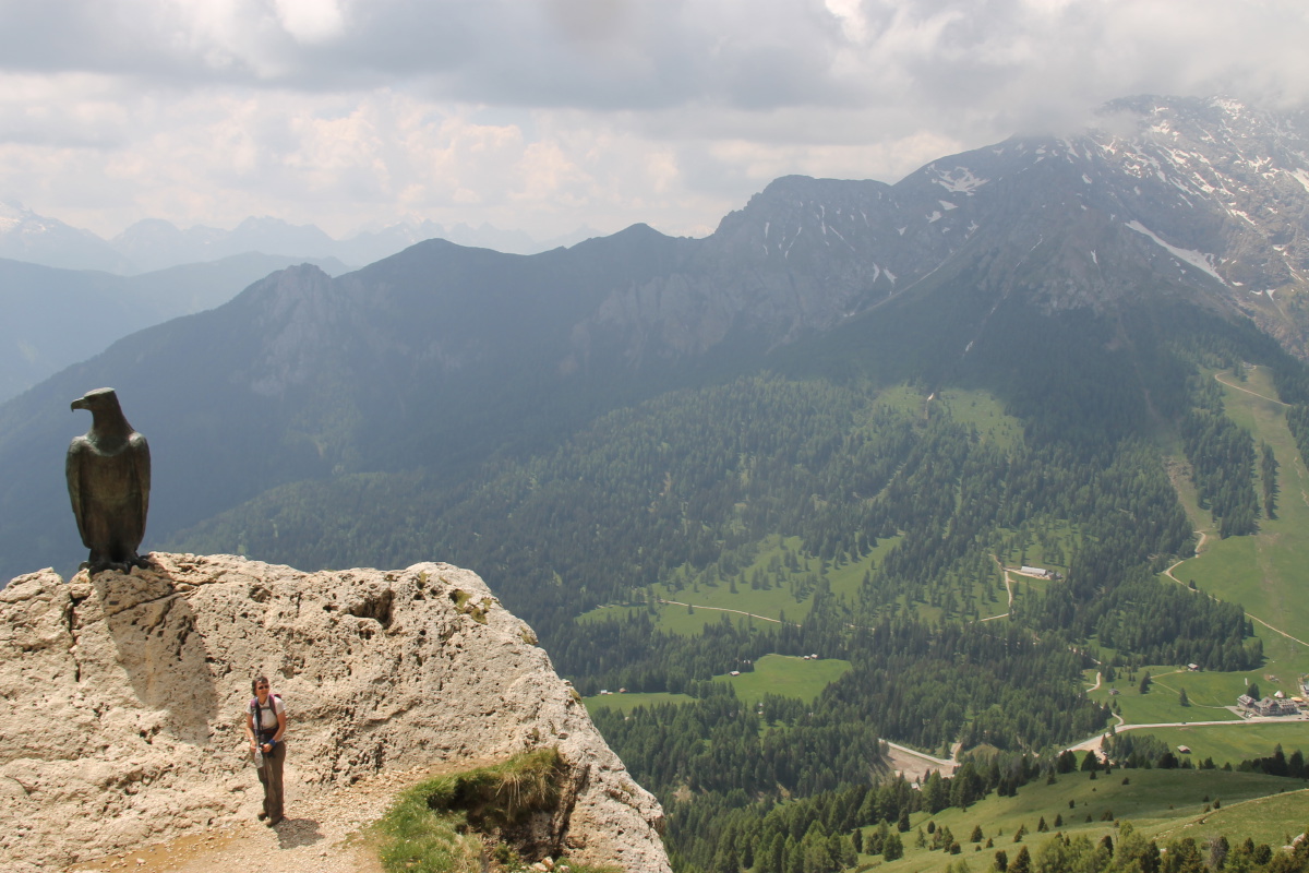
Linda, Travertine
and Eagle ... |
|
|
|
|
... and View back
down to the Karerpass
and the car |
Rock jumbles increase
approaching the main body
of Catenaccio/Rosengarten |
Eastwards down to
the Fassa valley |
Approaching Rifugio
Roda vi Vael |
|
|
|
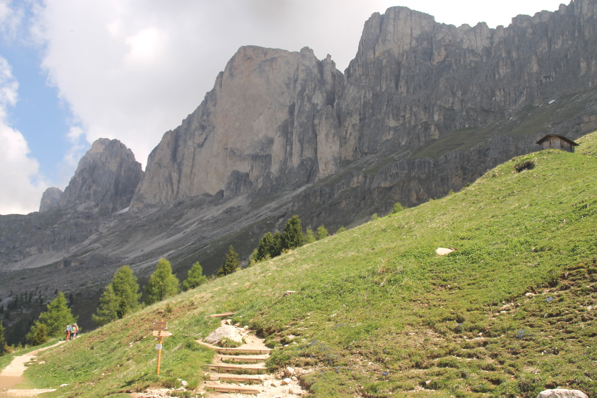
|
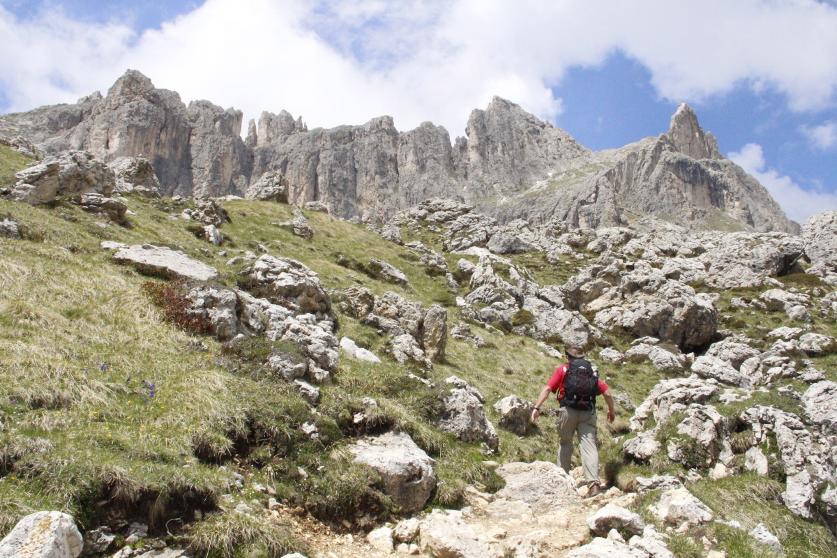
Looking up at our path
across the face of
the Croda del Lago (2806m).
Cima di Dona left (2665m) |
More or less the
reverse shot,
approaching the Pass |
The Sella group
(and Pordoi) to the NE |
Scree slopes
on the approach |
|
|
|
|
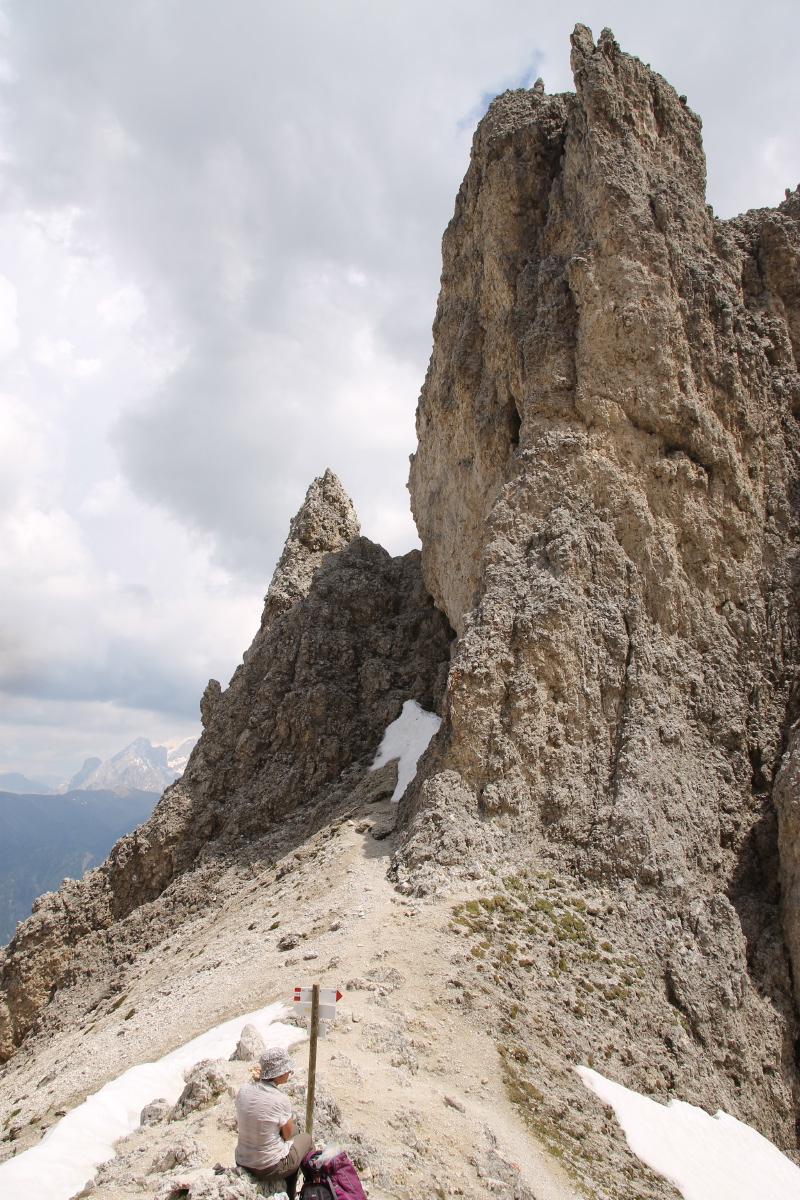
The last hundred metres |
On Passo delle Cigolade |
|
... Vajolet at bottom,
Principe at the pass |
|
|
|
|
On the return,
over-sized scree? |
And better light ... |
... on the Cima di Dona |
Overlooking the
Val di Fassa |
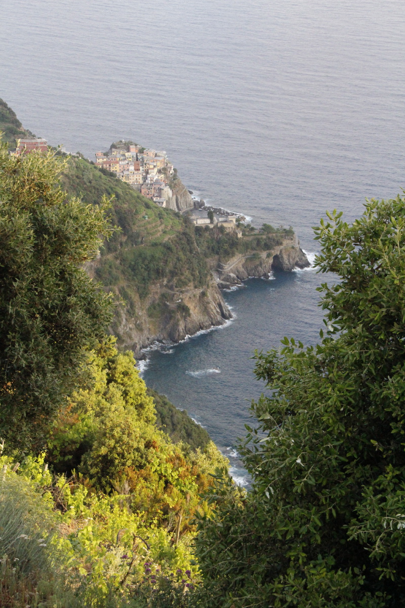
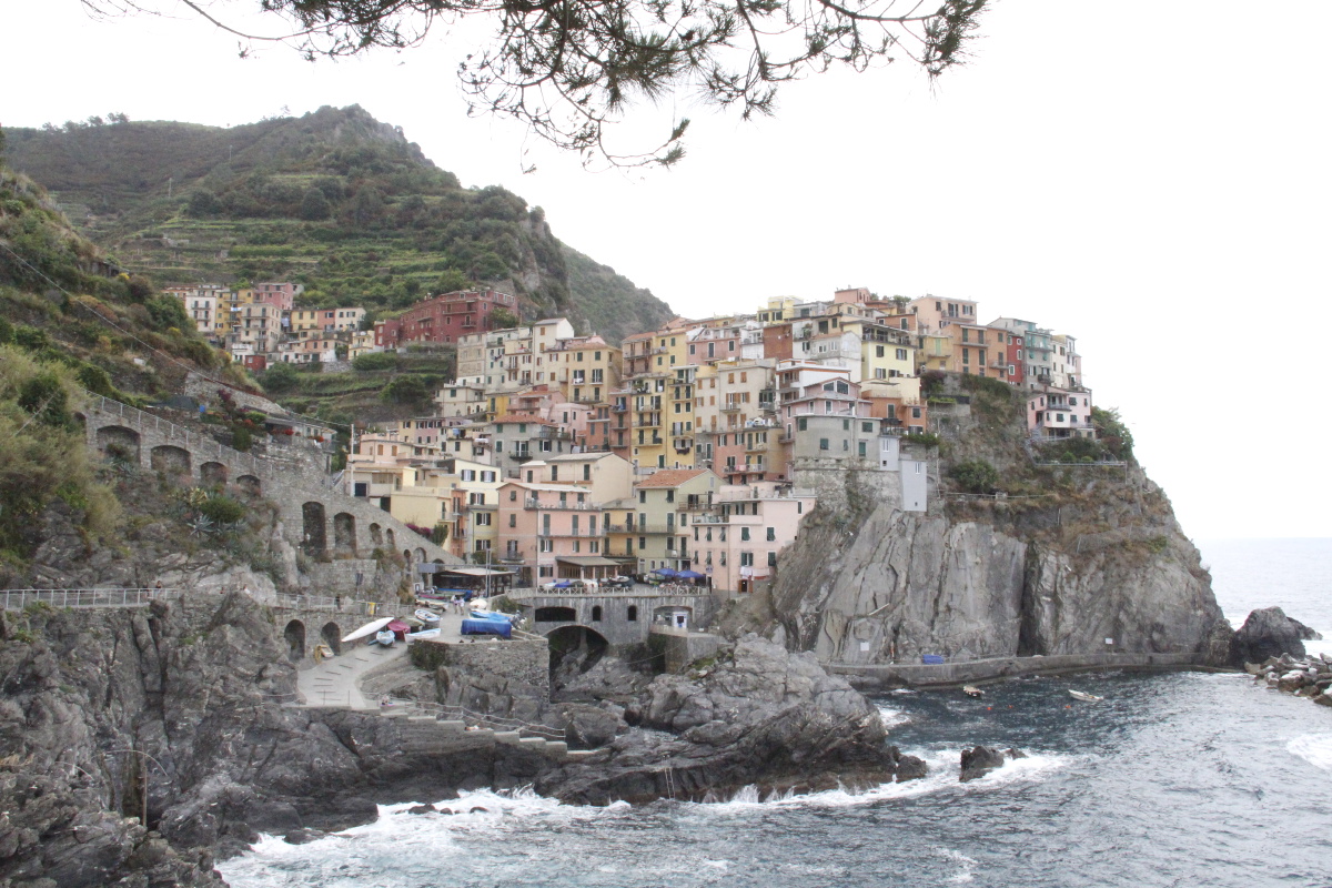
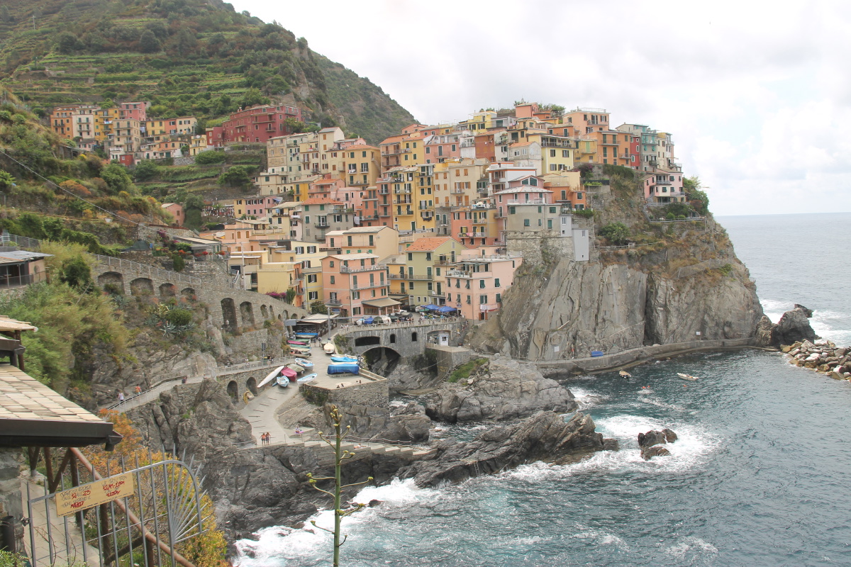
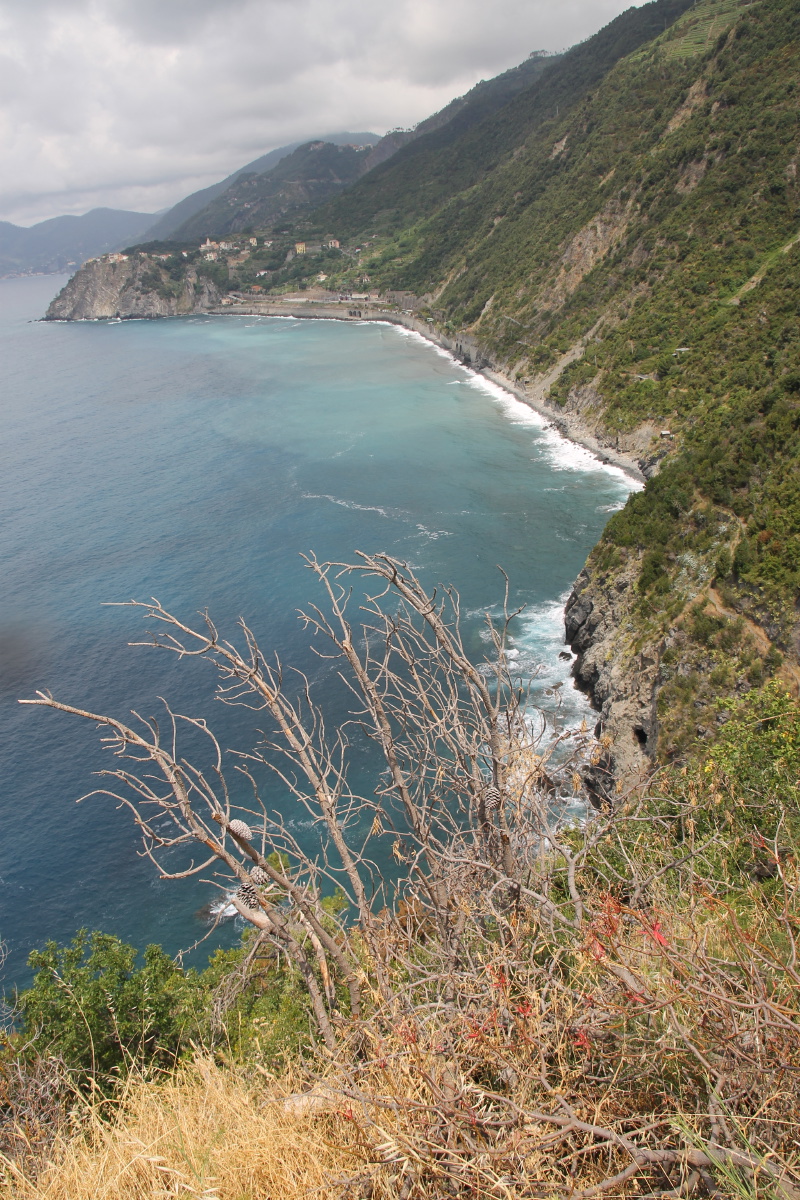
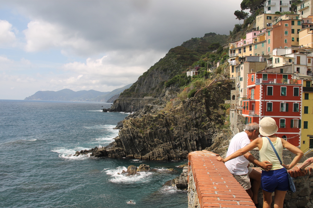
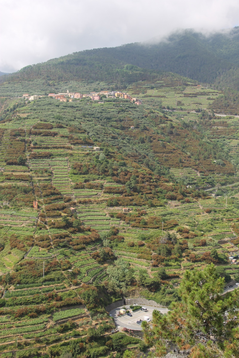
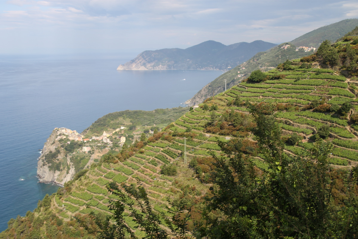
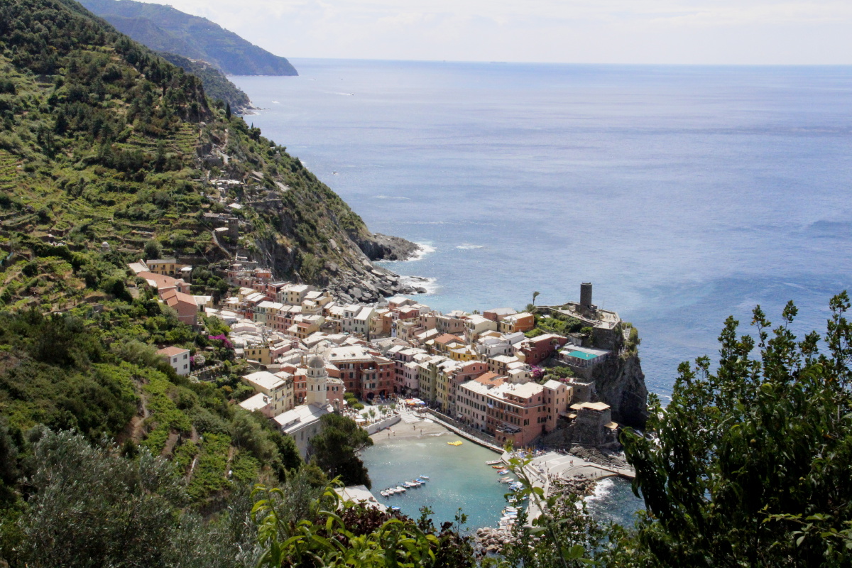
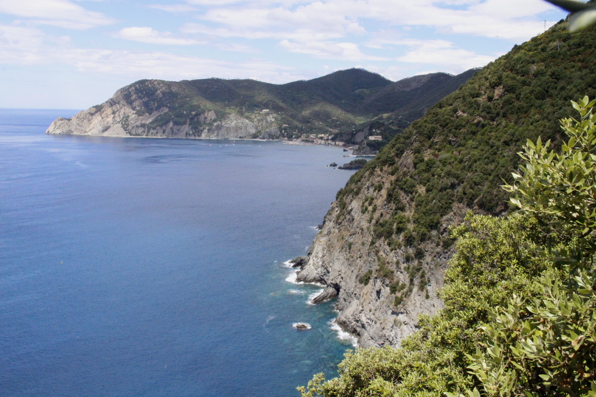
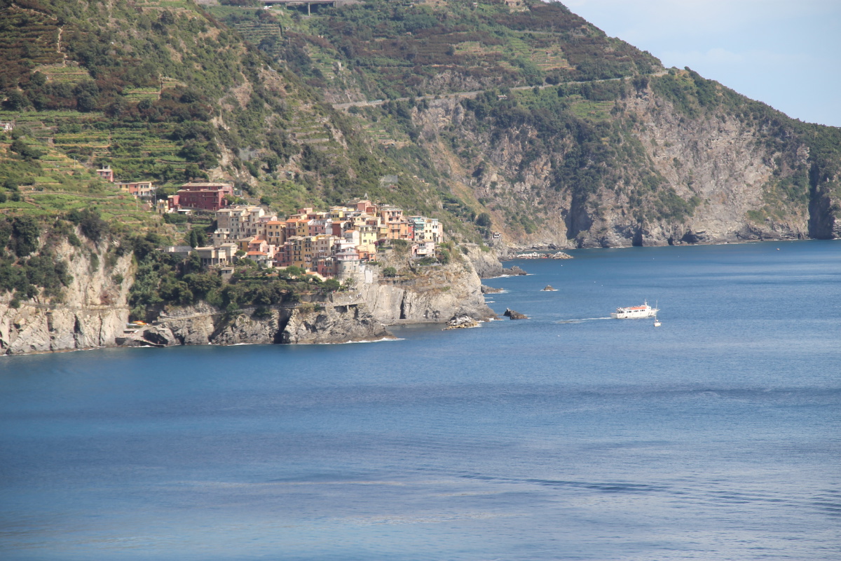
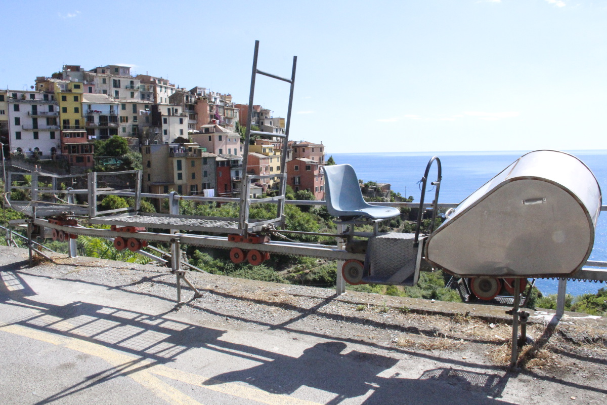
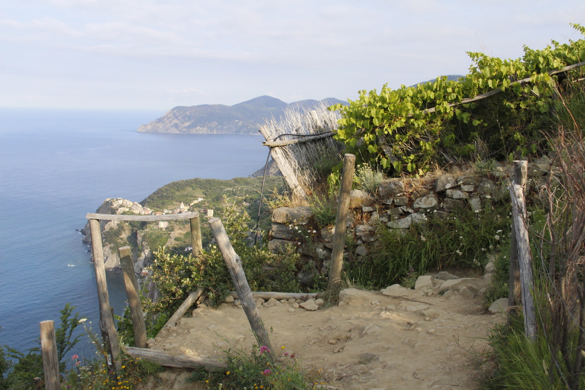
Cinque Terre, Italy – Mid June 2015
We spent three nights in Volastra, above Manarola. The stretch of steep coastline
is indeed scenic, four of the five villages do have charms, and the
investment in infrastructure is impressive – with a lot of repairs done since
the big floods c. 2010, and more left to do.
Unfortunately, the enjoyment is
badly undermined by very low-quality information and information availability.
It's not their fault that a lot of the paths, and even one of the upper roads,
are still closed. But they have an obligation to make information readily
available,
yet they failed to do so. Train and tourism staff are typically Italian casual,
rude,
and at best modestly competent. The problems weren't helped by a rolling
[sic] train-strike.
On the basis of this sampling, we'd recommend planning on:
- Stay in, and focus on, the southern end
- If travelling by car, stay in Volastra
(350m up) rather than the crowded coastal villages
- Walk such of the
'coast' walk as may be open. (Of the 4 sections, 3 were closed in mid-2015).
But
most of it requires fitness.
And any time
in summer you need a lot of patience to put up with volumes of slow walkers
in both directions.
- Do the diagonal walks between
Manarola and Volastra, and Volastra and Corniglia, managing the
logistics by any combination of foot, bus, train and your own car
- Visit Vernazza
by train or car
- Skip Monterossa unless you're looking for a beach (although the stretch
between Monterossa and Vernazza, while narrow, steep and busy, is a good
walk –
but
the land
is not
as well
cared-for as the
southern
areas.)
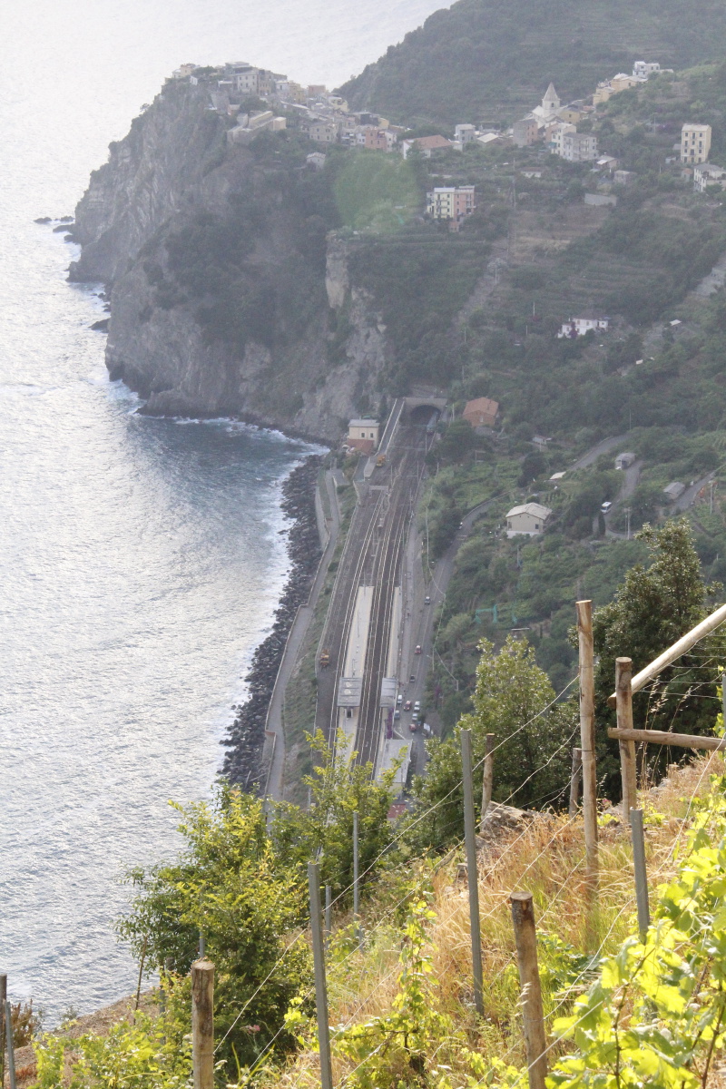
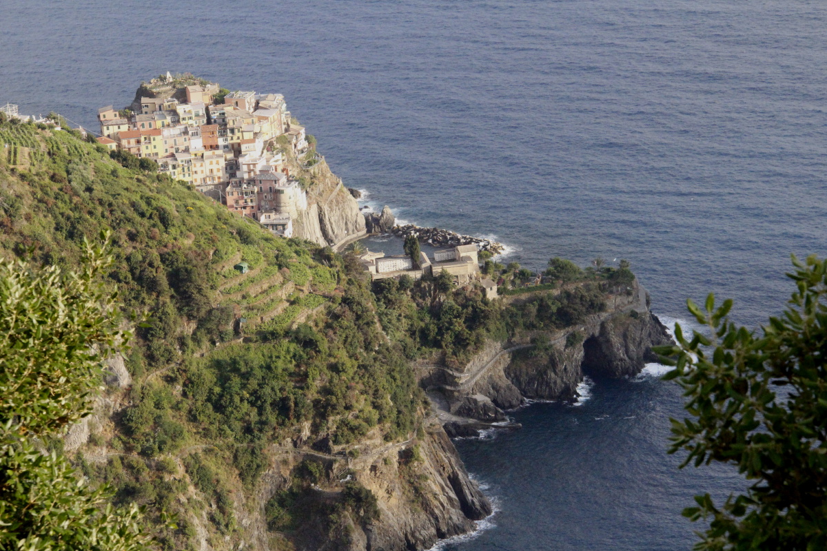
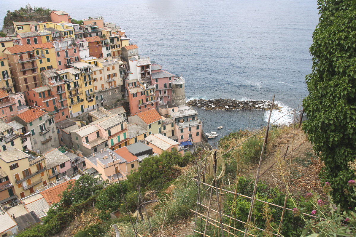
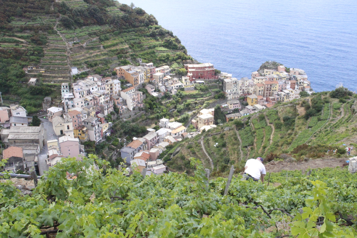
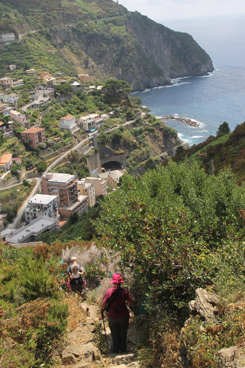
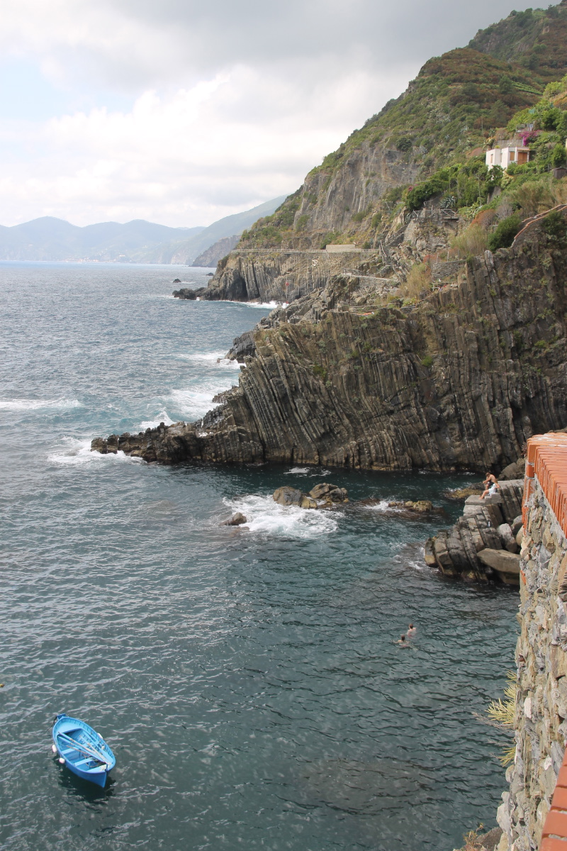
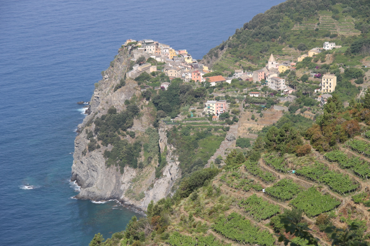
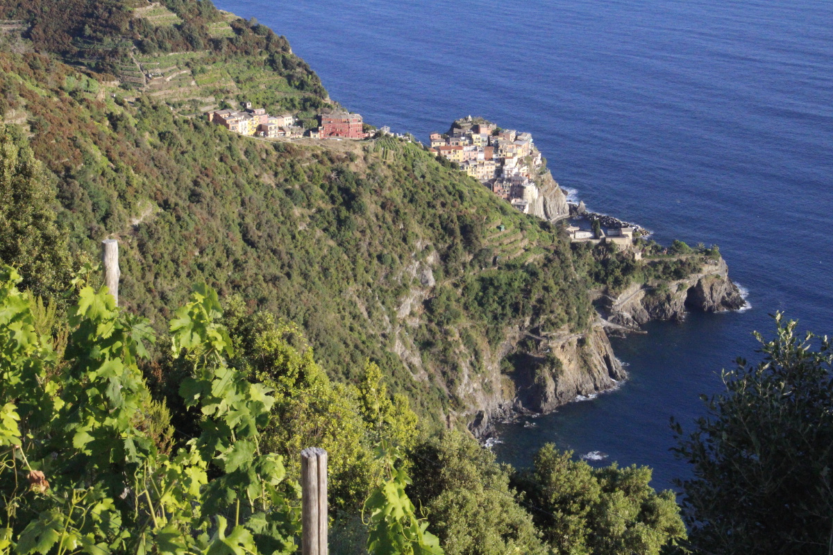
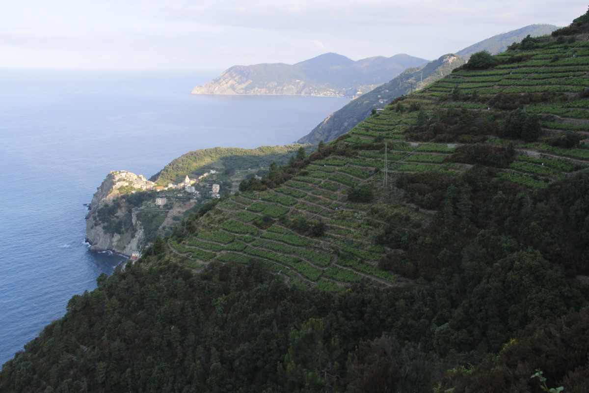
1. Manarola and Riomaggiore (Tue 16 Jun)
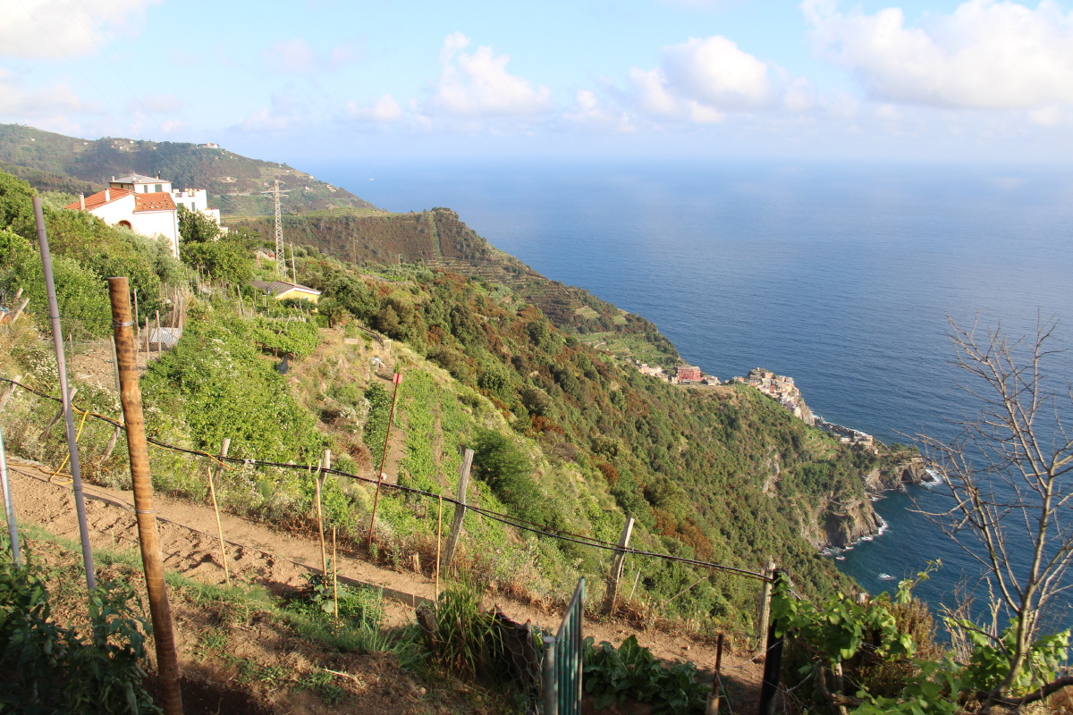
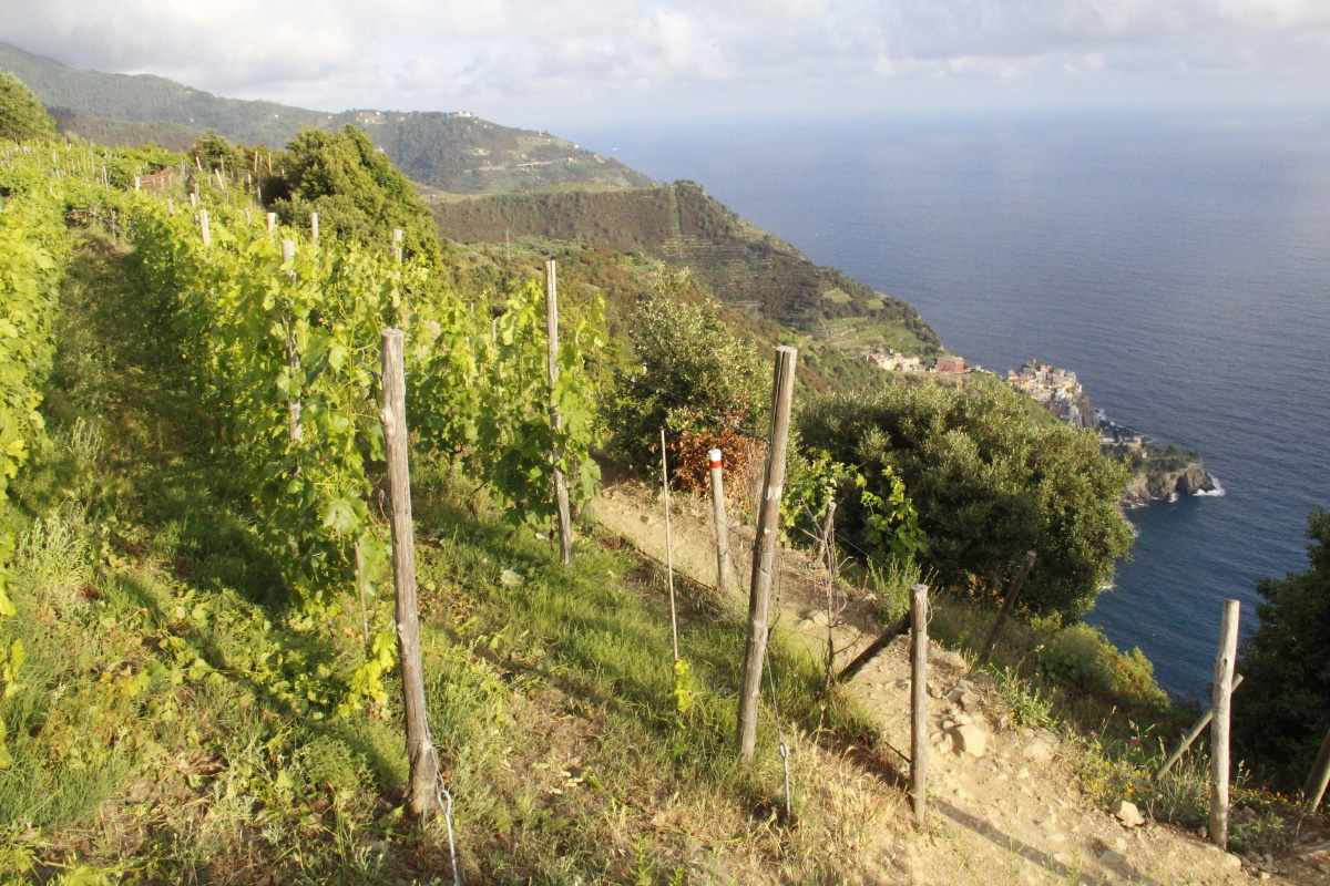
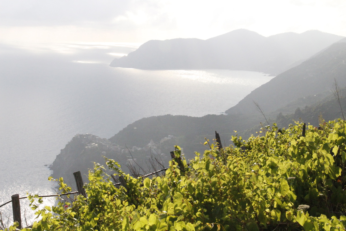
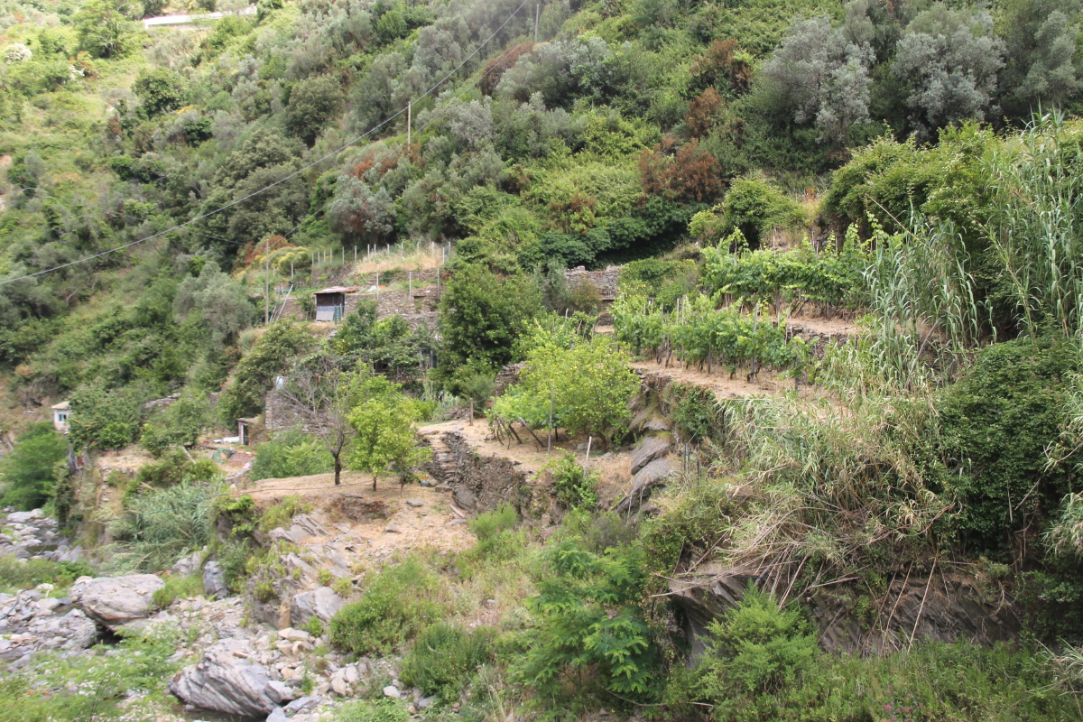
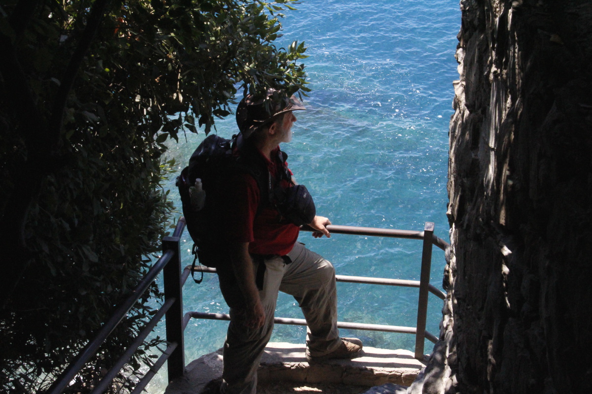
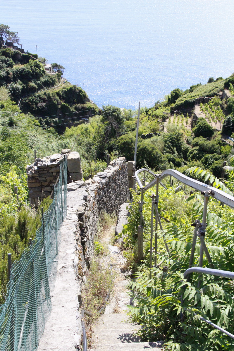
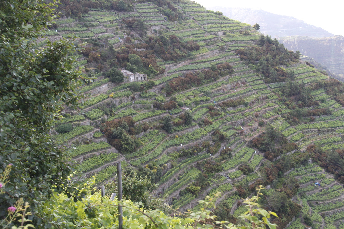
We used the Monday evening light to admire Manarola from the Volastra contour track amidst the vineyards.
Tuesday, we drove down to Manarola, strolled the village, and walked half-way
back up to Volastra before we realised quite what we'd done.
Spying the walk across the valley to Riomaggiore, we went back down to the village and up over
the ridge, lunched, and walked back.
The paths are very steep and rocky, and far too many people were trapped into walking them by the train-strike.
About 600m of height and maybe 6km all-up. (Much of it was 1 in 2 and some even 1 in 1).
|
|
|
|
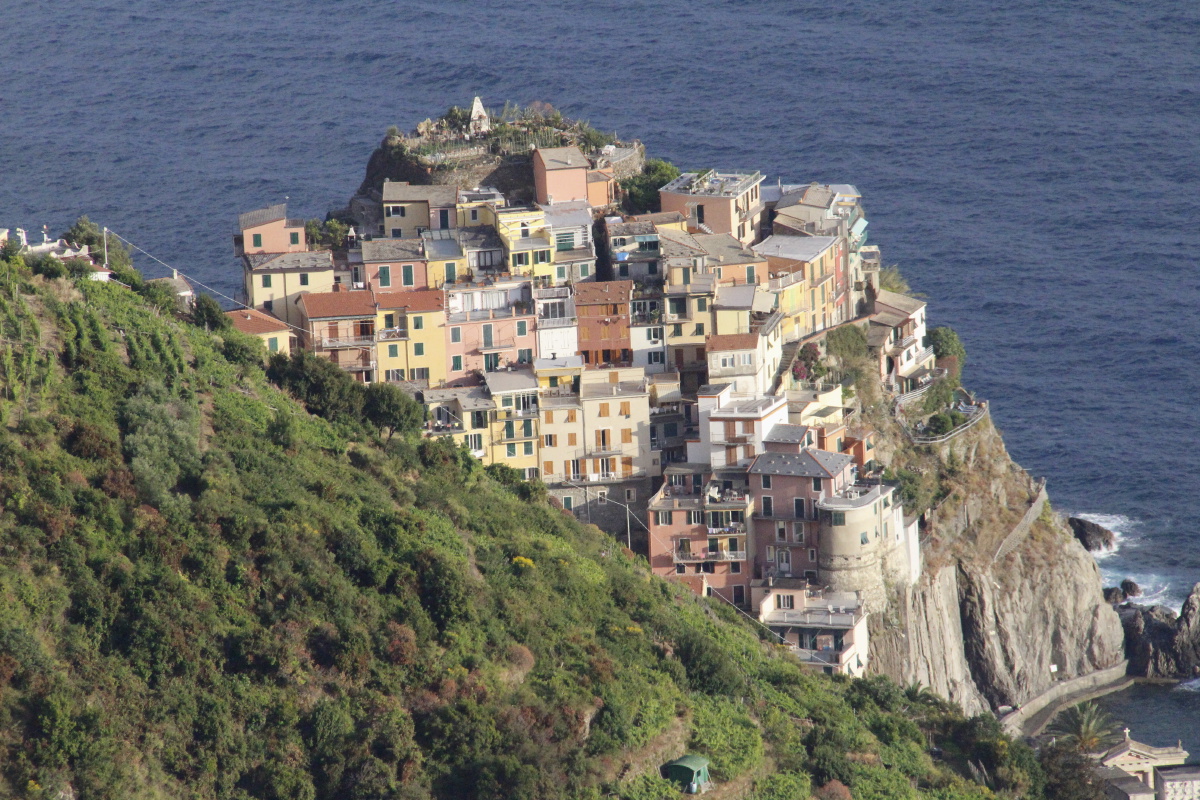
Manarola from the
Volastra path ... |
... amidst the
terraced vines |
Corniglia, in
t'other direction ... |
... at different
stages of the evening |
|
|
|
|
Closer views
of Manarola ... |
... in evening light ... |
... and dying light ... |
... and on a dull morning |
|
|
|
|
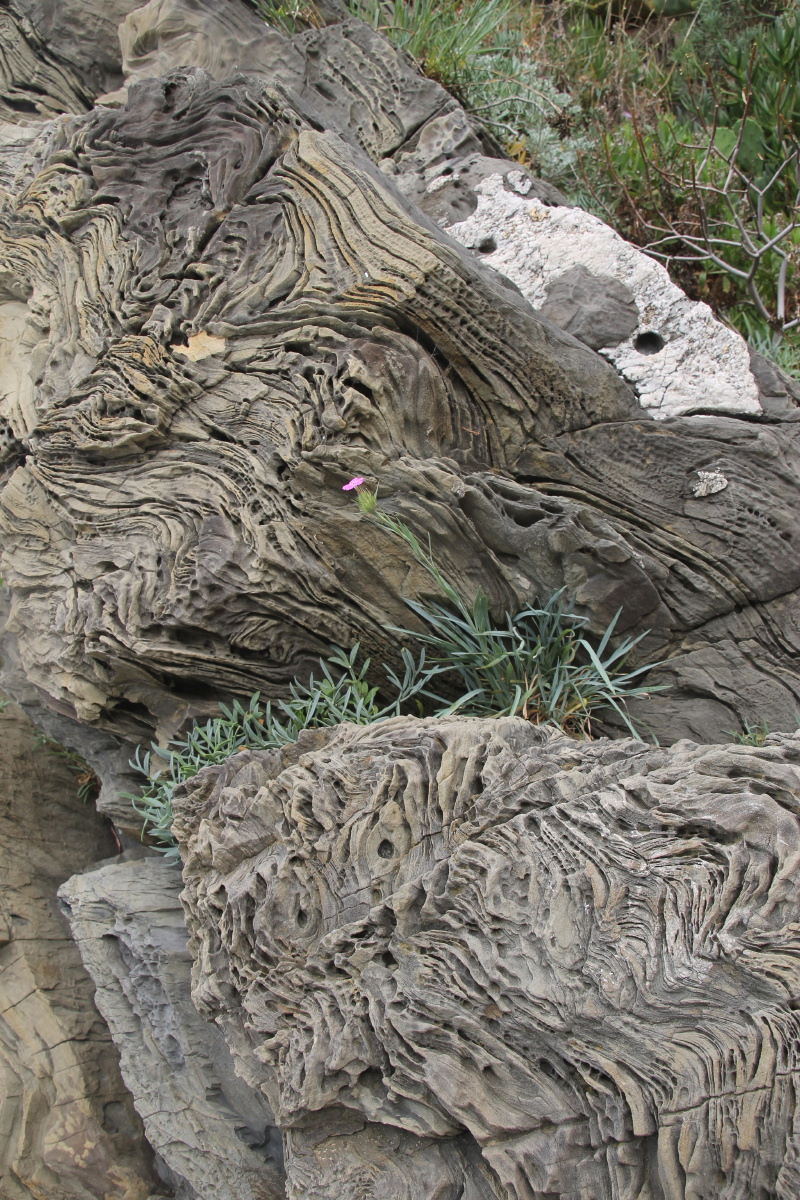
Curious rock-forms ... |
... in the cliffs of
the tiny harbour |
Views back from
the path ... |
... along and
up to Volastra |
|
|
|
|
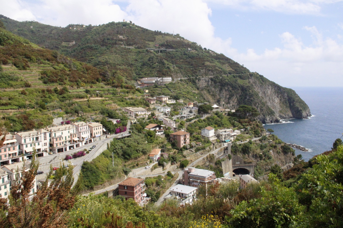
From near Manarola
towards Corniglia |
Looking back
to Manarola |
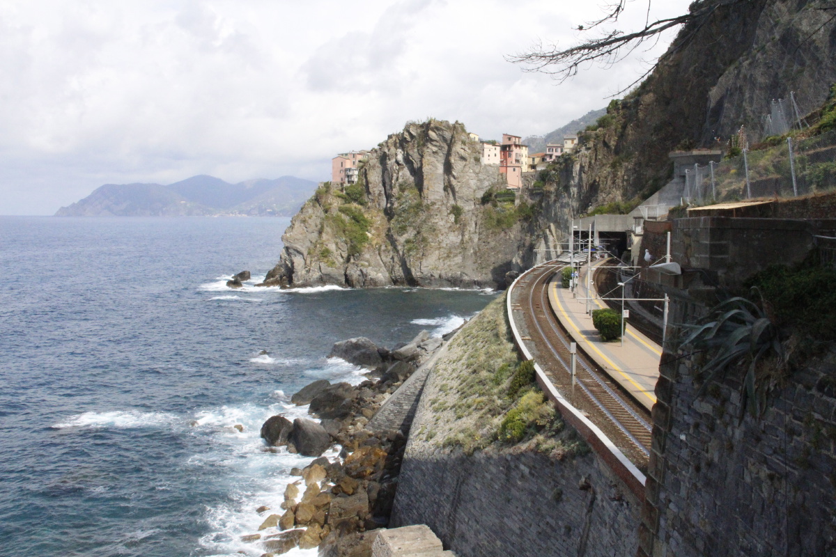
Manarola station and
beyond, from the closure
towards Riomaggiore |
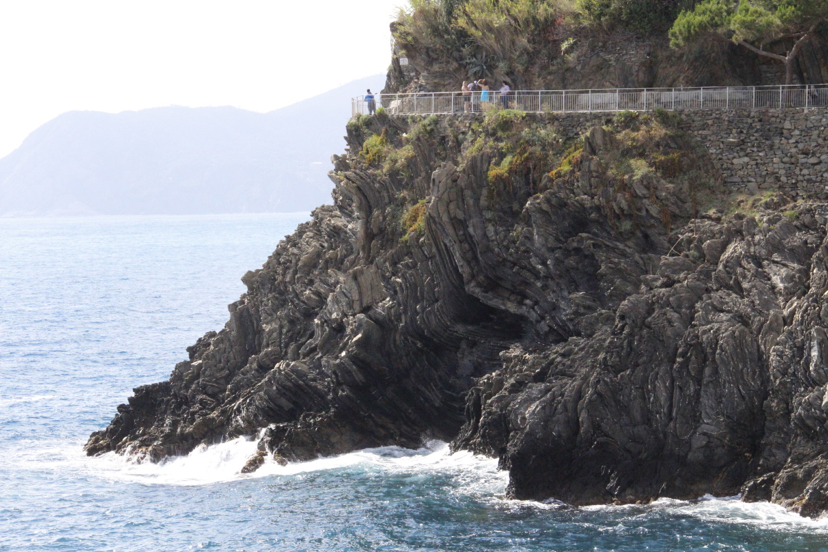
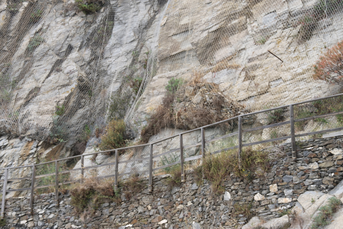
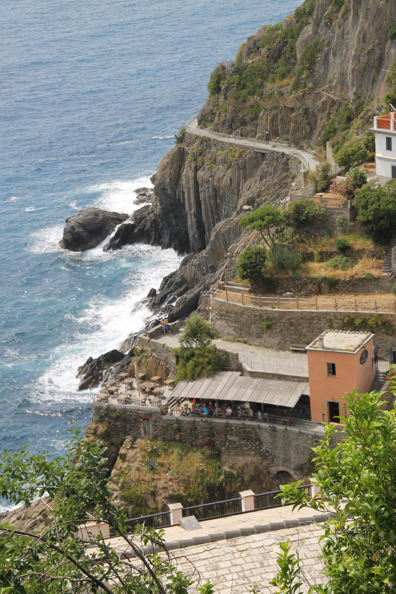
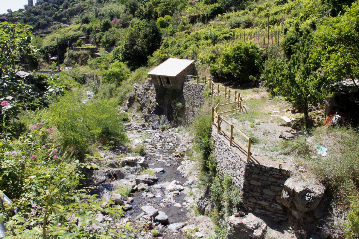
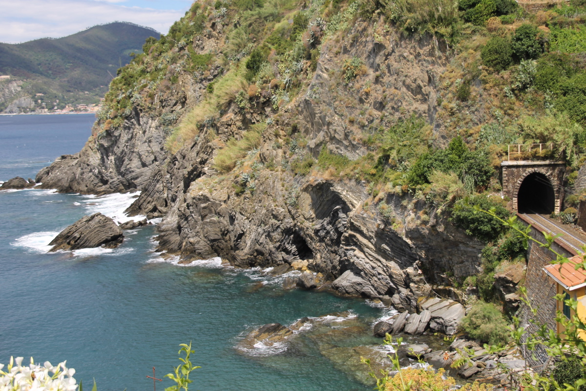
Many paths are closed.
See the fallen rocks
in the net? |
|
|
|
|
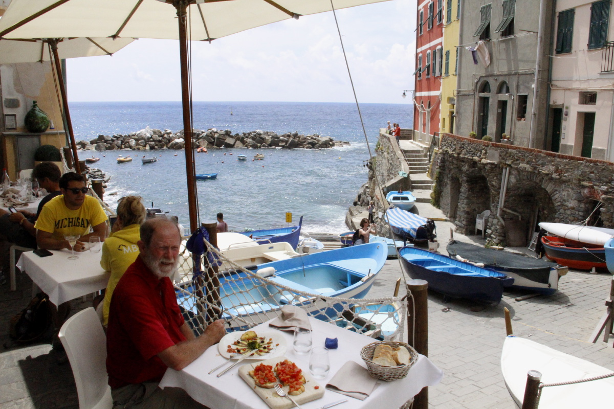
Down to Riomaggiore |
Almost the
whole village |
The cliffs NW
to Monterosso |
What is it
about blue boats? |
|
|
|
|
Lunch ...
with blue boats |
The secondary bay,
by the station |
Back down to Manarole |
The view up
to Volastra |
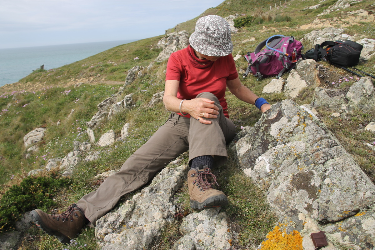
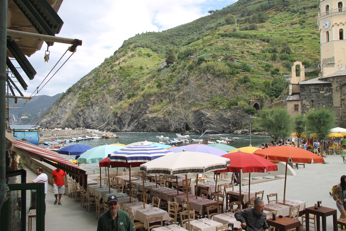
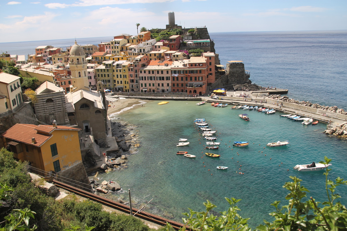
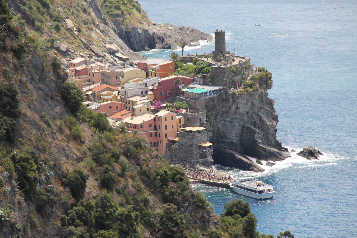
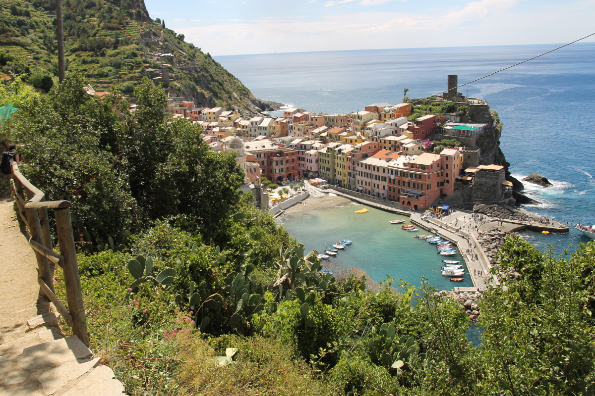
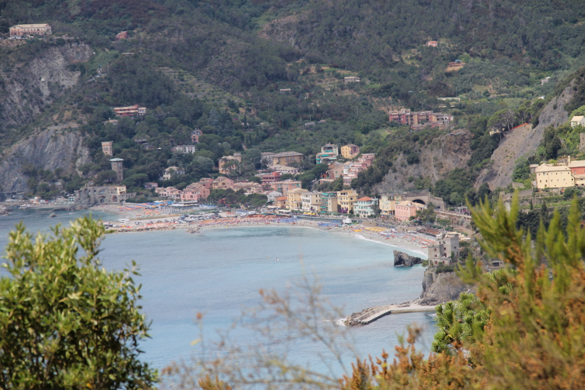
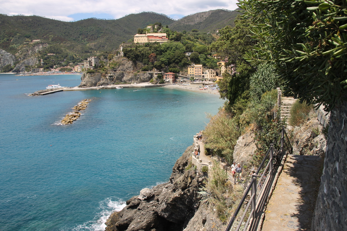
2. Vernazza, Monterrossa and Corniglia (Wed 17 Jun)
We drove to above Vernazza, and walked that village and then along the 'coast' road to
Monterosso. That's only 3.6km and 200m, but it took 1-1/2 hours because of the continual delays
on a steep, narrow, rocky path overloaded with not-so-agile-walkers.
We picnicked, then walked around
Monterosso, which is easily the least appealing village on the coast. It was hot, and Roger had twisted
a knee stepping around a lumpy walker on the path. So we caught an early-afternoon
train back to Vernazza, drove to Corniglia and walked around that village. A nice wind-down day.
|
|
|
|
From the road, over
vines to Corniglia |
Zoom to Corniglia |
The terrace vineyards |
Evidence of the
devastating 2005 floods,
just above Vernazza |
|
|
|
|
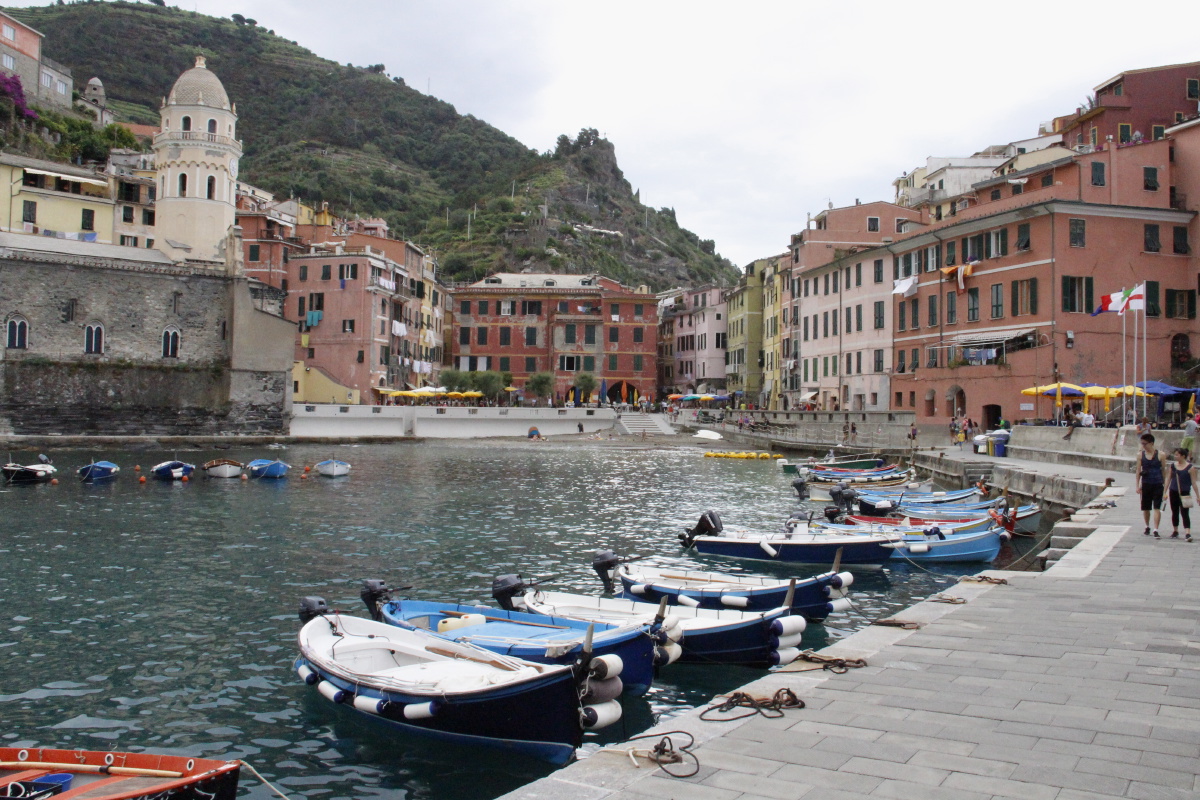
Vernazza Harbour |
The reverse shot |
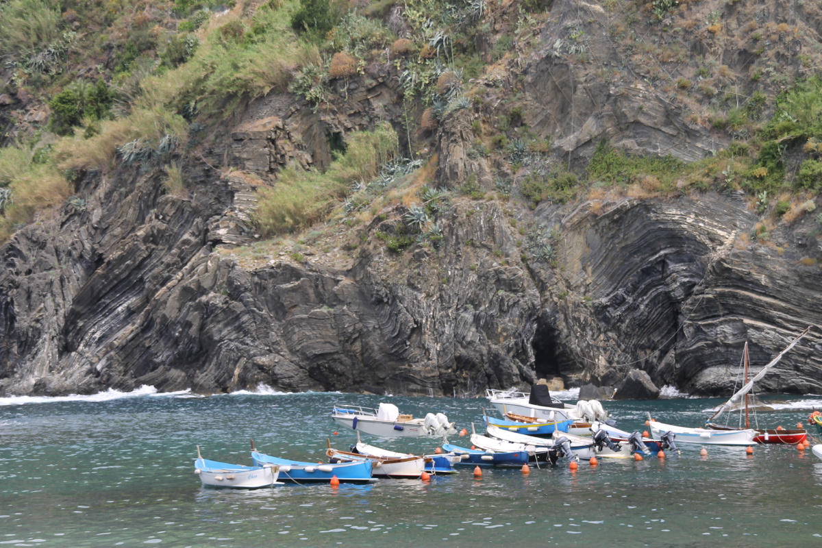
Cliffs and ...
blue boats |
Cliffs and
railway tunnels |
|
|
|
|
Did anyone mention ... |
... that Vernazza ... |
... is very photogenic? |
In the second shot,
note the slabs
beside the village |
|
|
|
|
Are you sure
there's a path
on that hill? |
Approaching
Monterosso |
Closer now |
Looking back
to Vernazza |
|
|
|
|
Almost as limpid
as the Adriatic |
Path down, with
one of the many ... |
... grape 'trains',
Corniglia behind |
That evening,
Manarola ... |
|
|
|
|
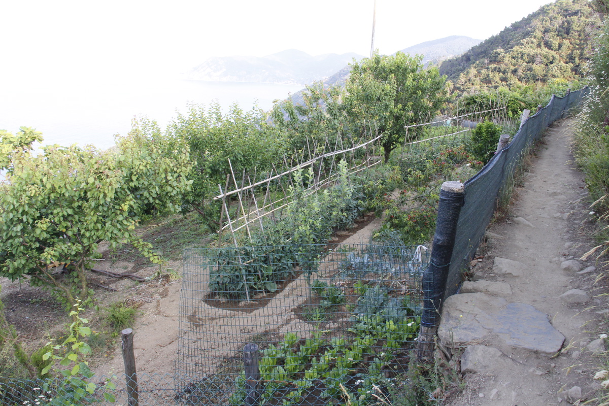
Early morning walk,
above Corniglia ... |
... Vines and Veges ... |
... the well-worked terraces ... |
... all from our
pre-dinner drinks spot |
This is a page within the Clarke-Spinaze Photo Gallery, home-page here
Contact: Linda or Roger
Created: 24 May 2015; Last Amended: 6 Jul 2015, 29 Jun 2021


