Mountain Walks – 2016
29 May to 5 July 2016
18 walks in 38 days
12km vertical, 185km horizontal
27-28 August 2016
Click on any image to see a larger version
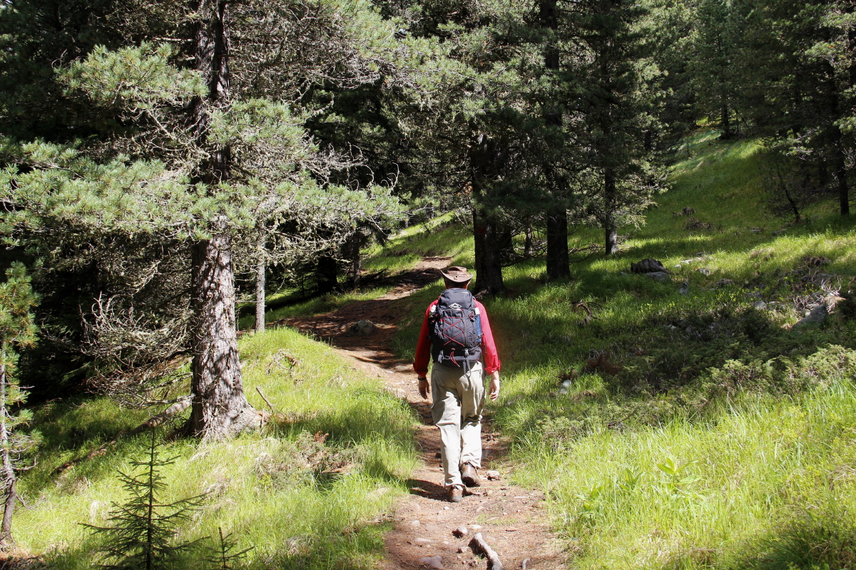
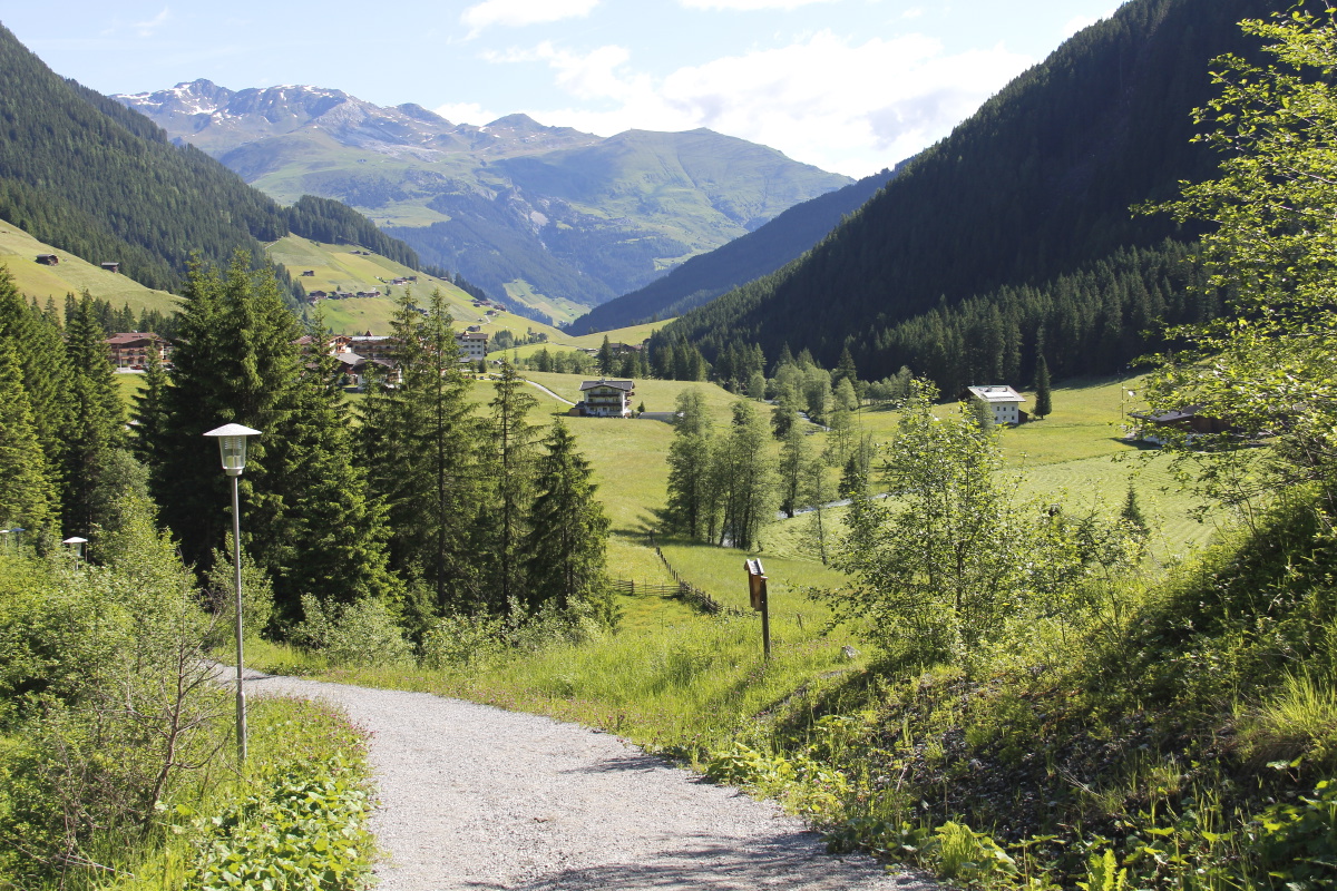
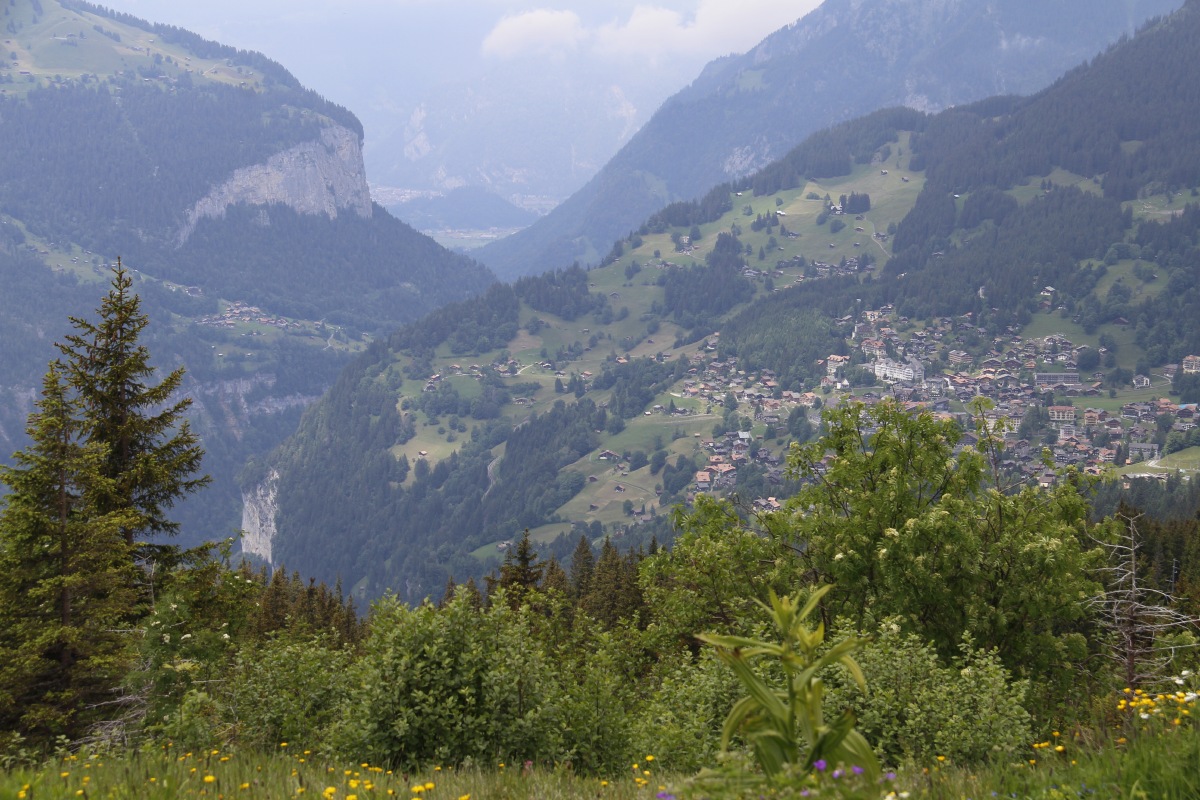
1. Flumet – 200m and 2km – Sun 29 May 2016
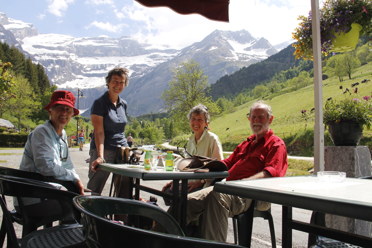
Well, it's in Haut Savoie, but it was a nice warm-up, after a few hours' driving after landing in Zürich
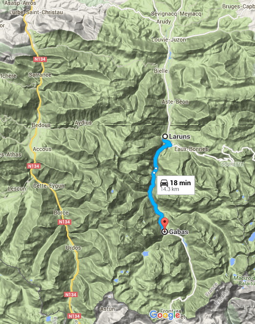
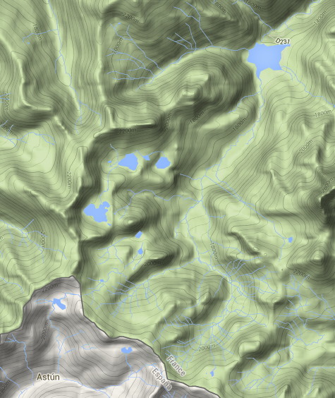
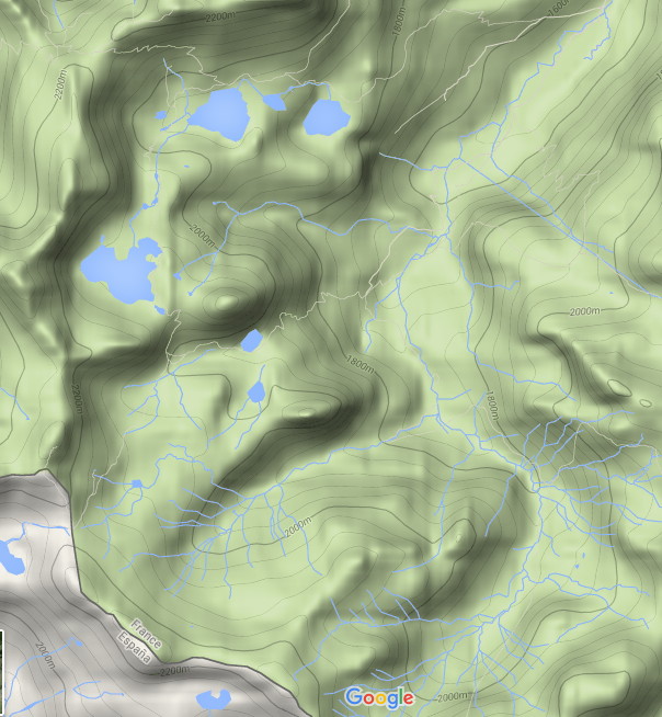
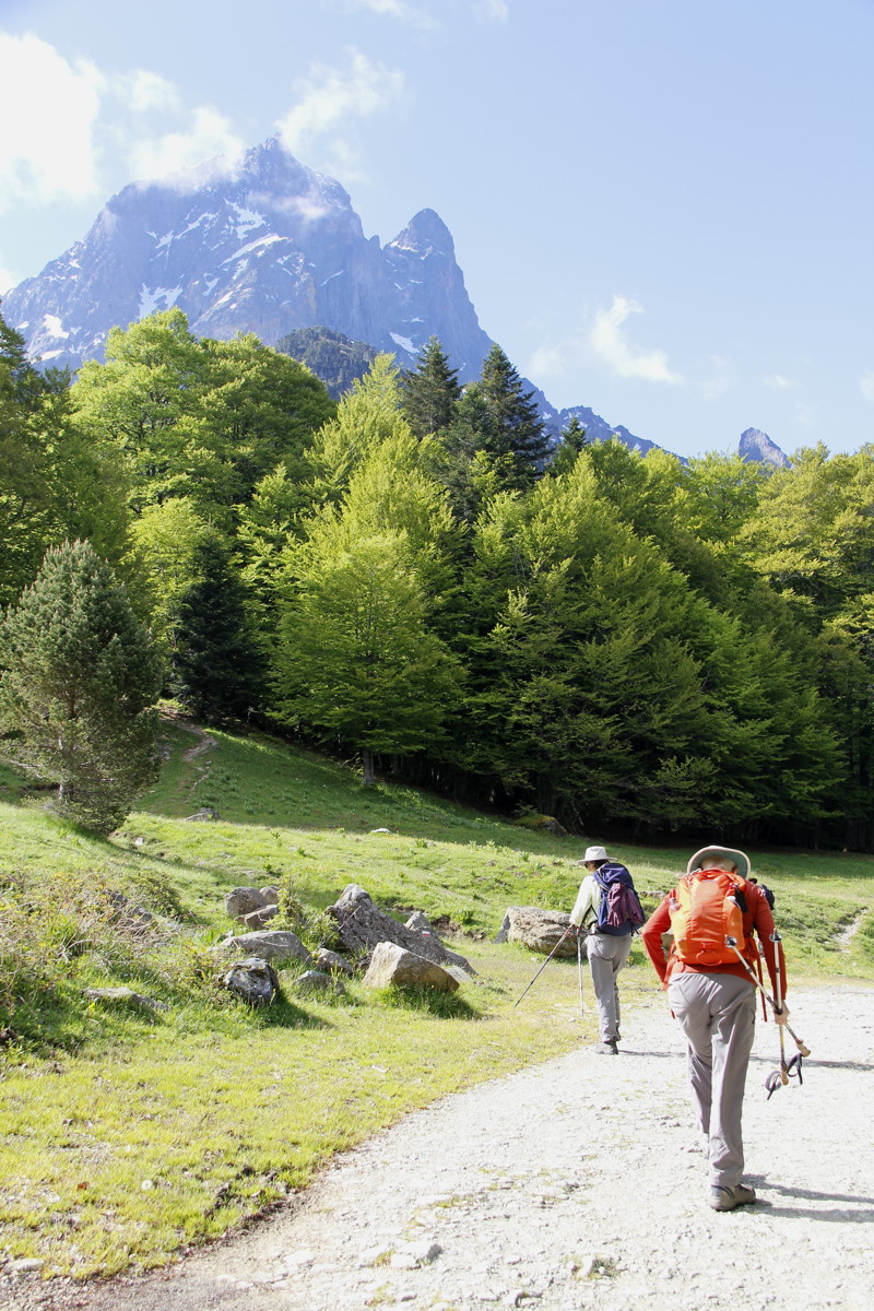
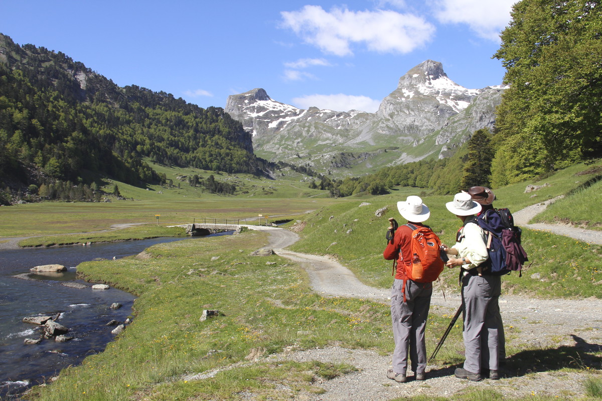
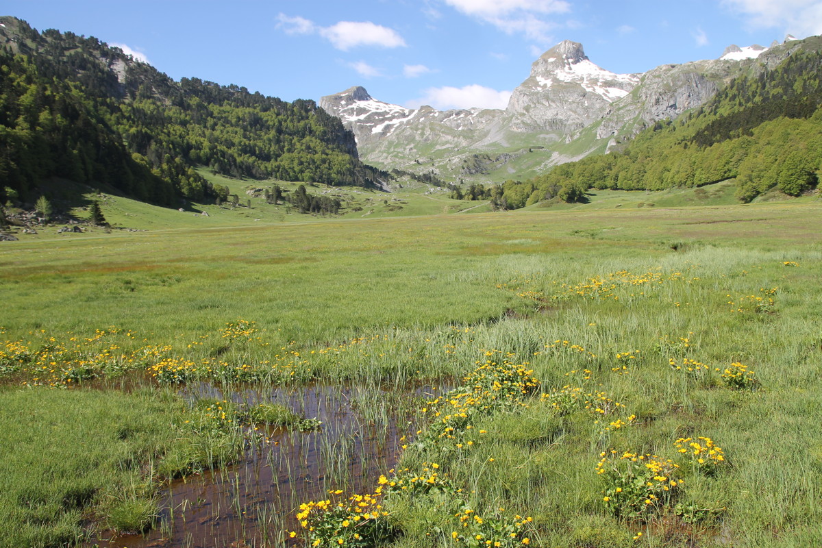
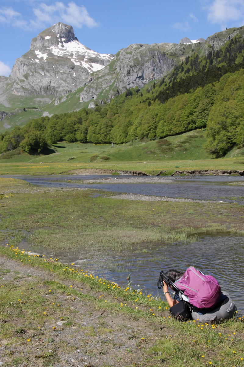
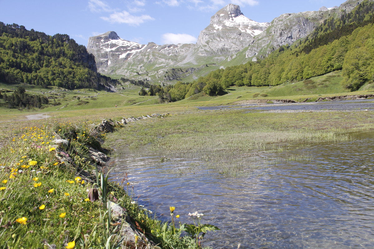
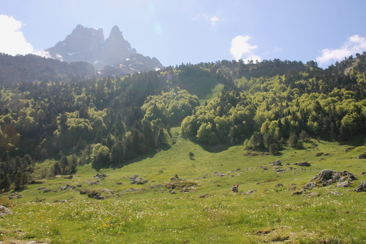
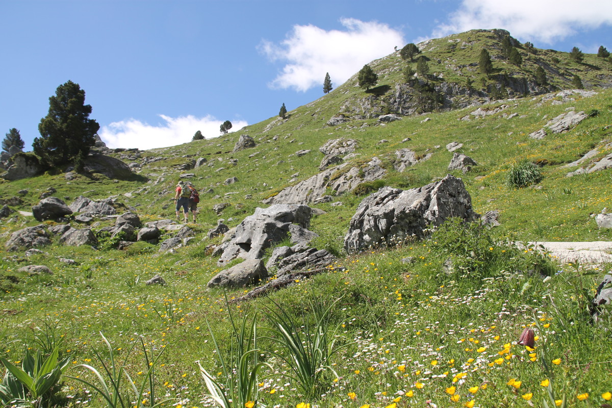
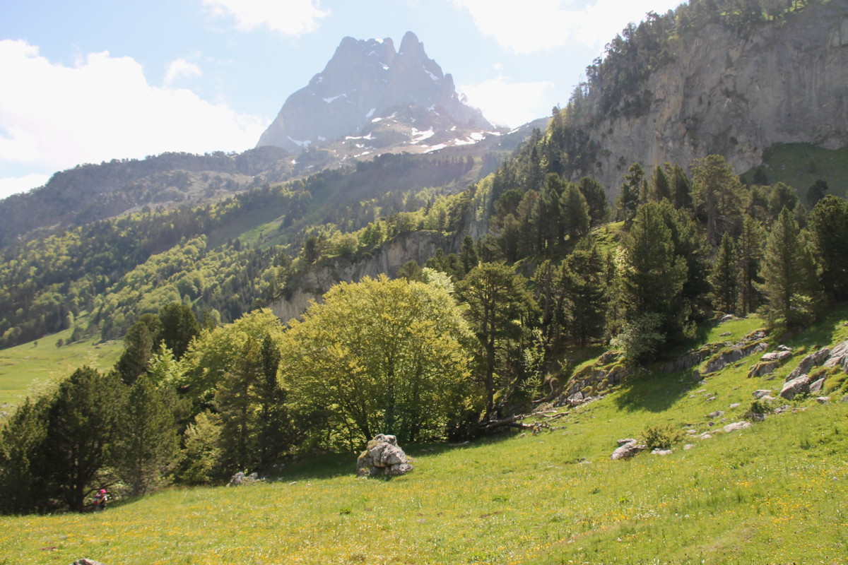
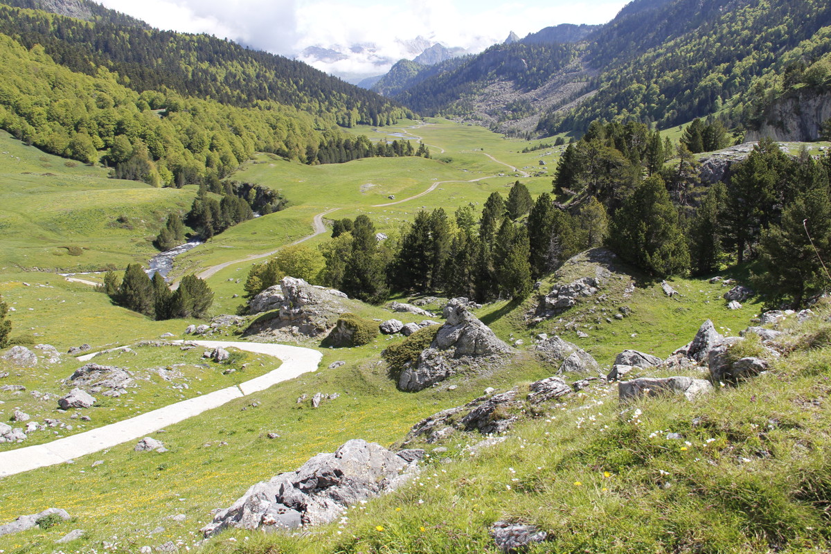
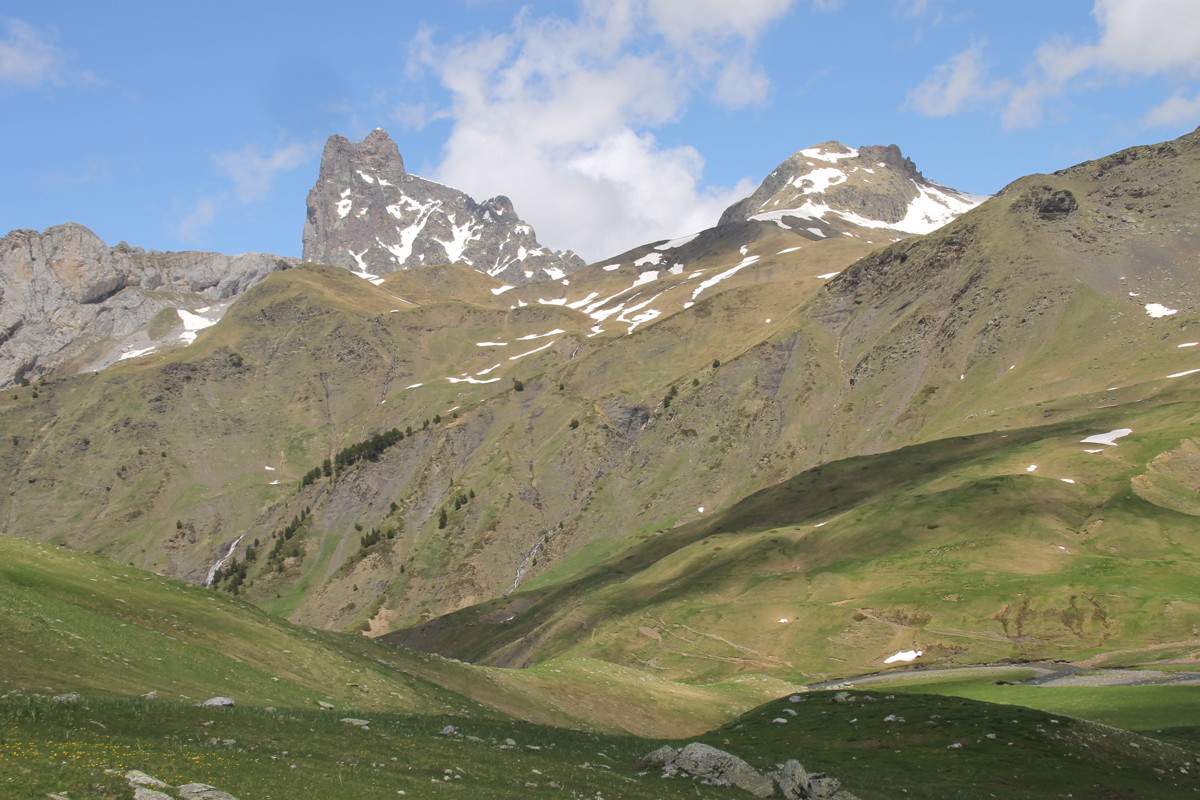
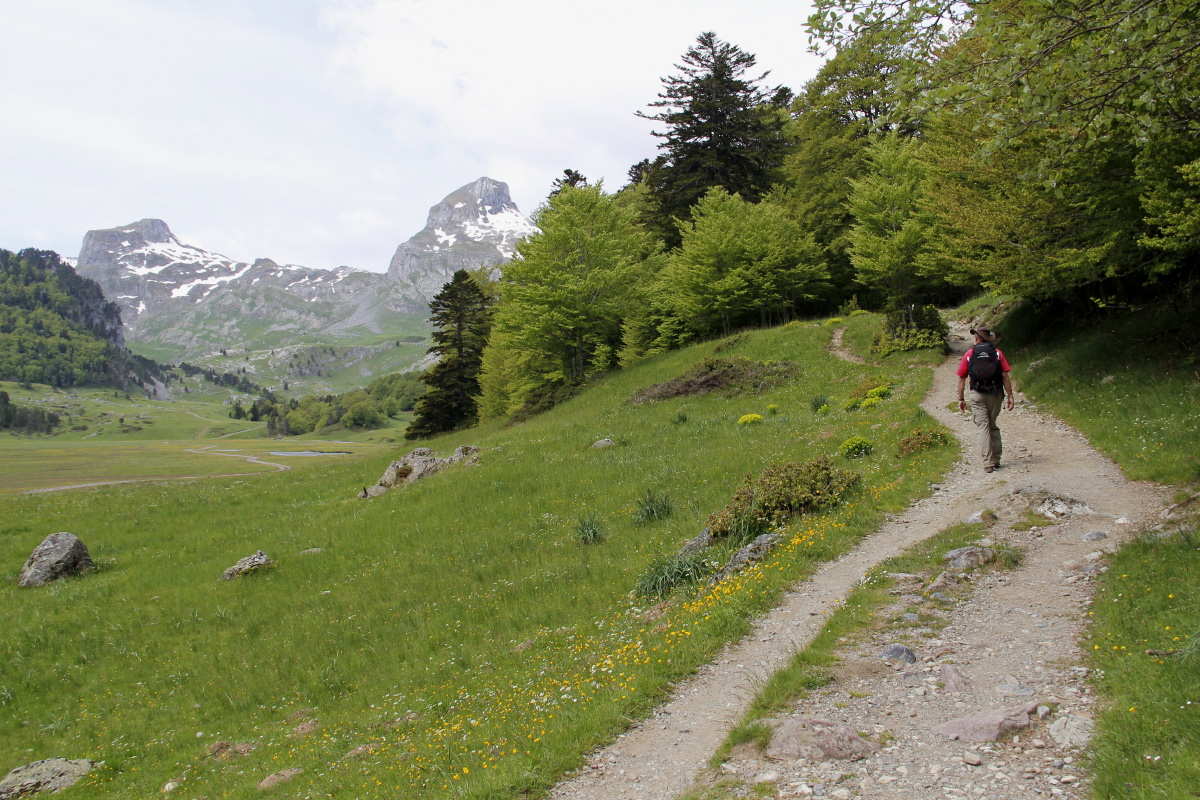
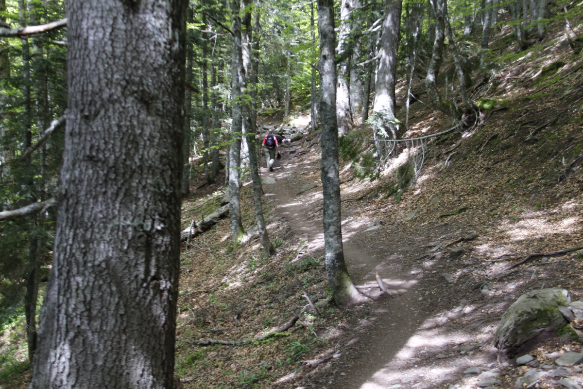
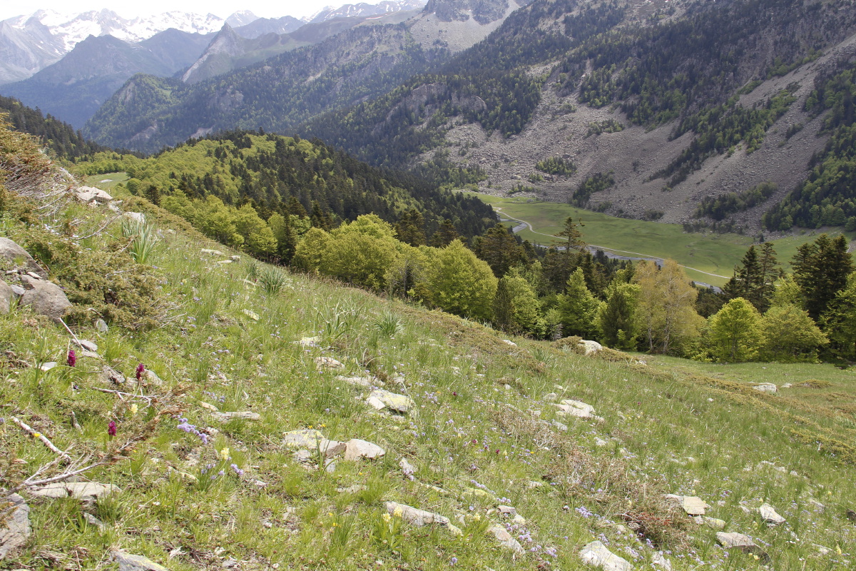
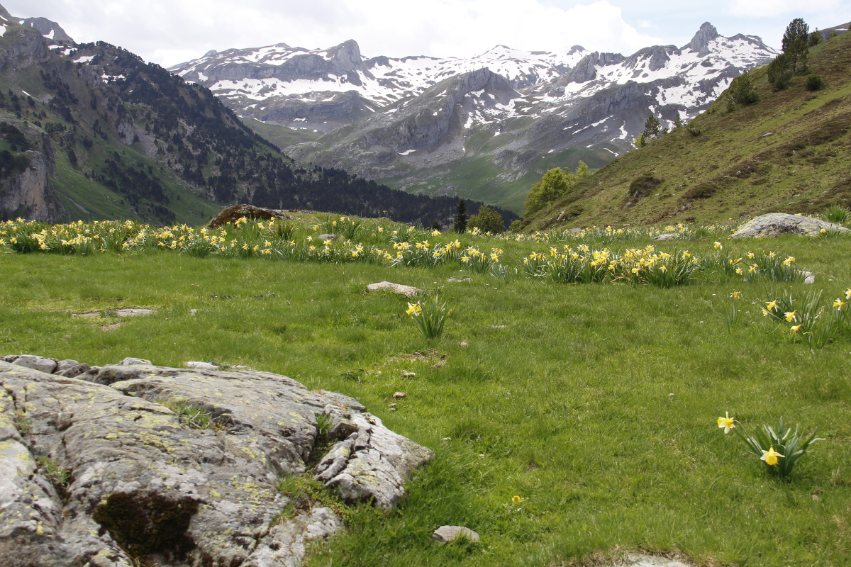
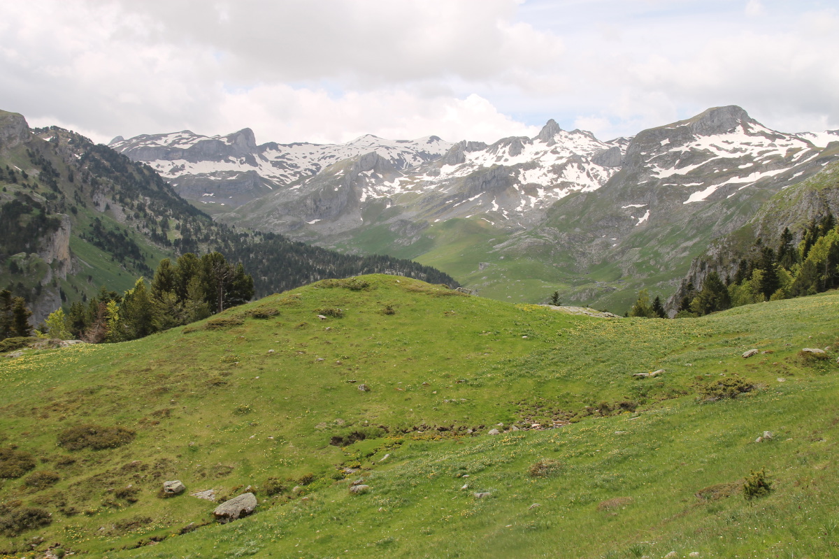
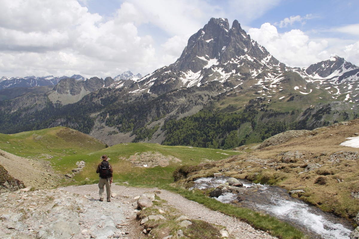
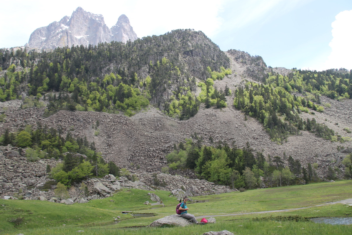
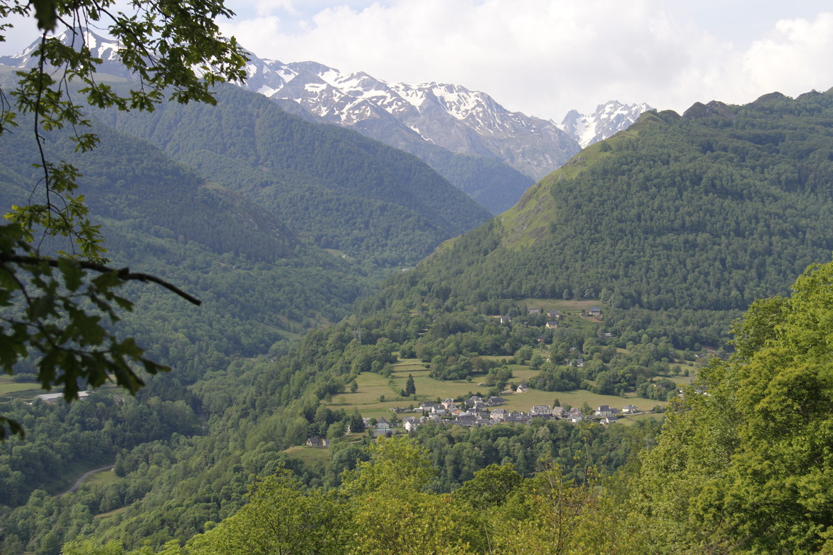
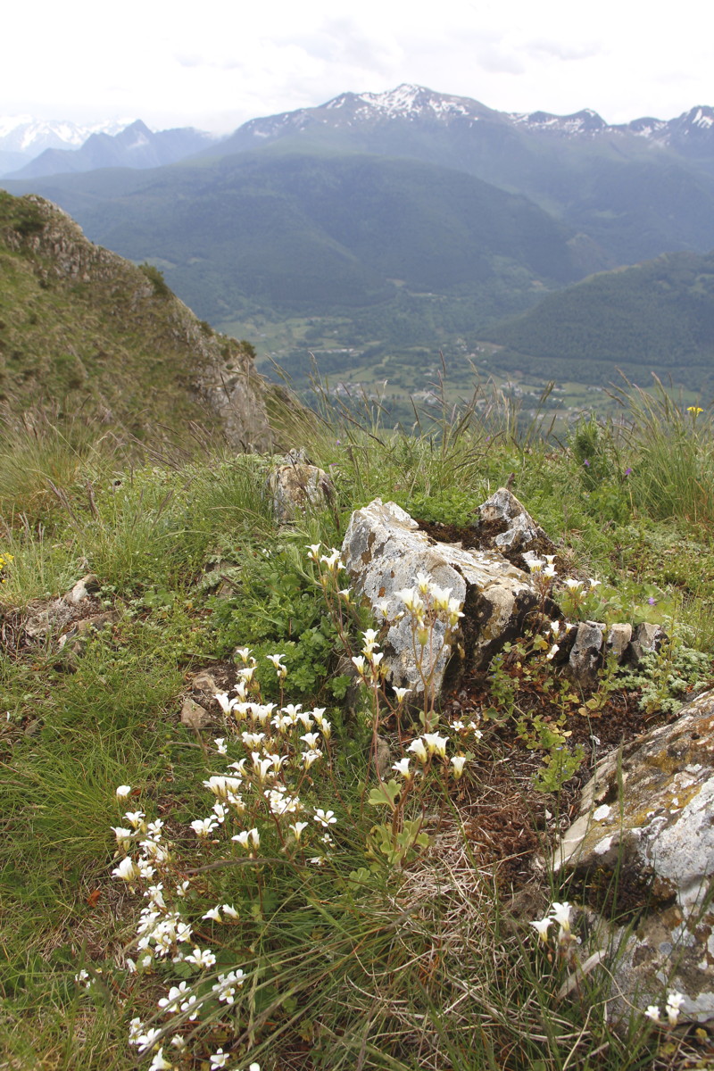
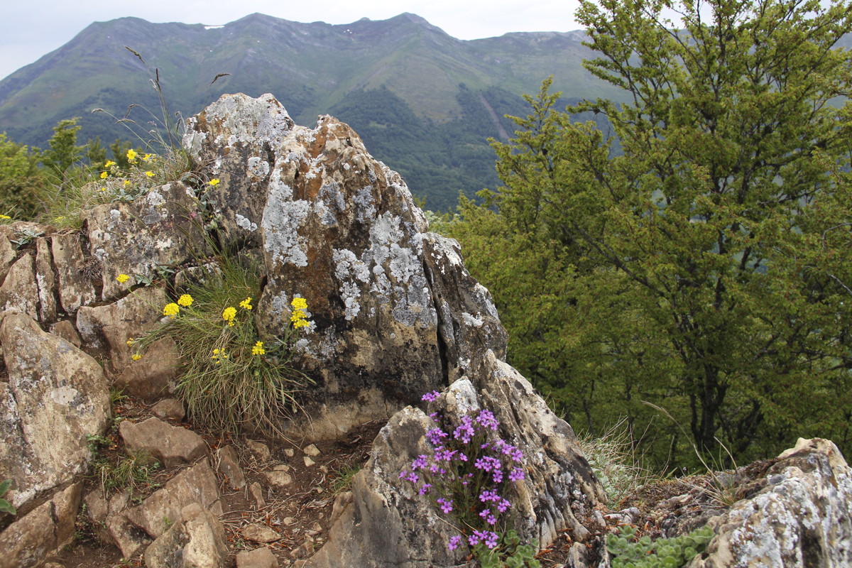
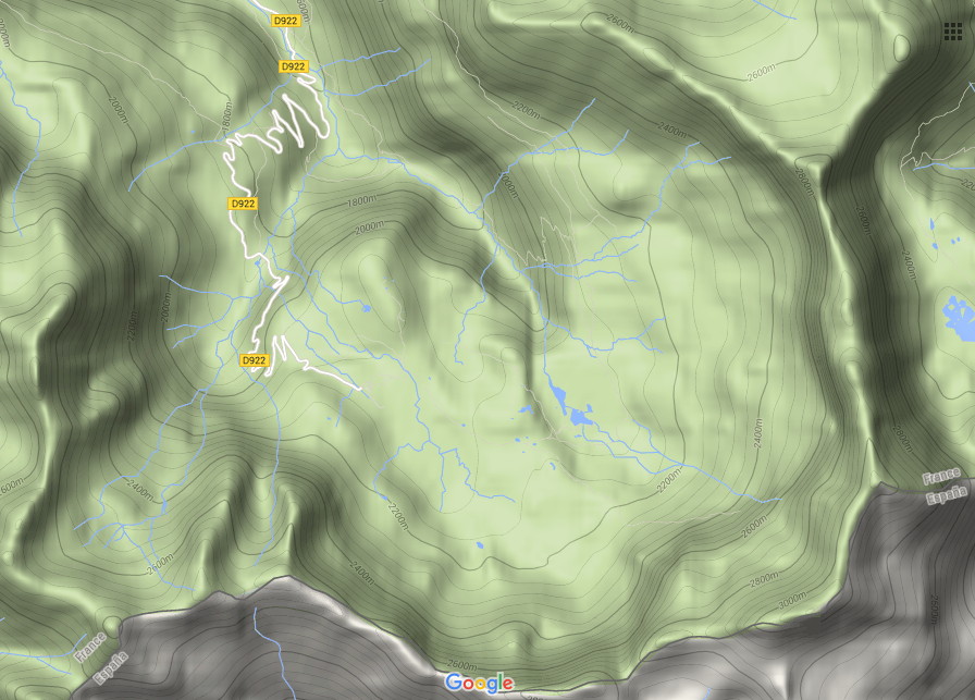
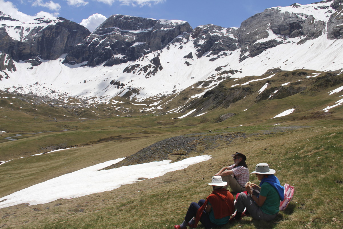
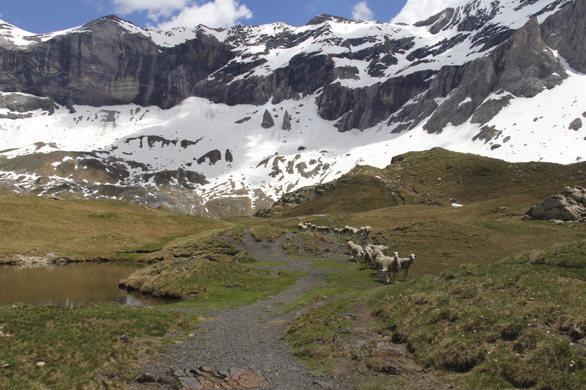
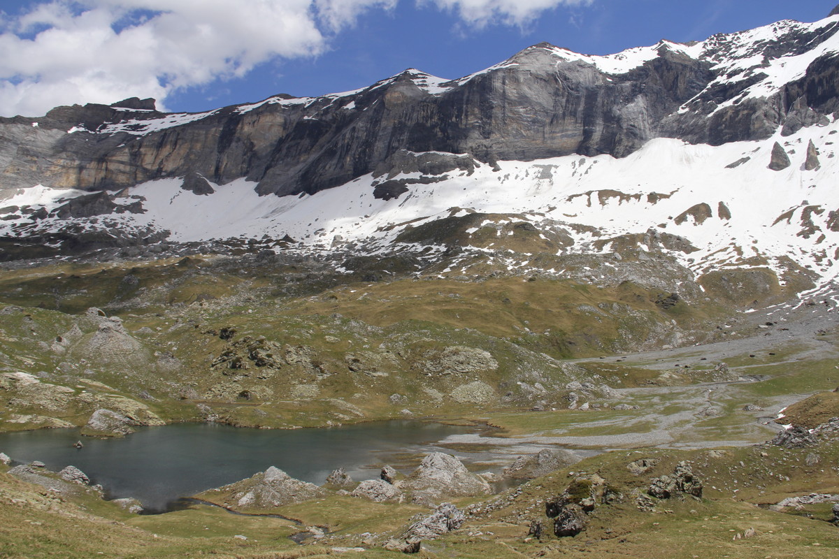
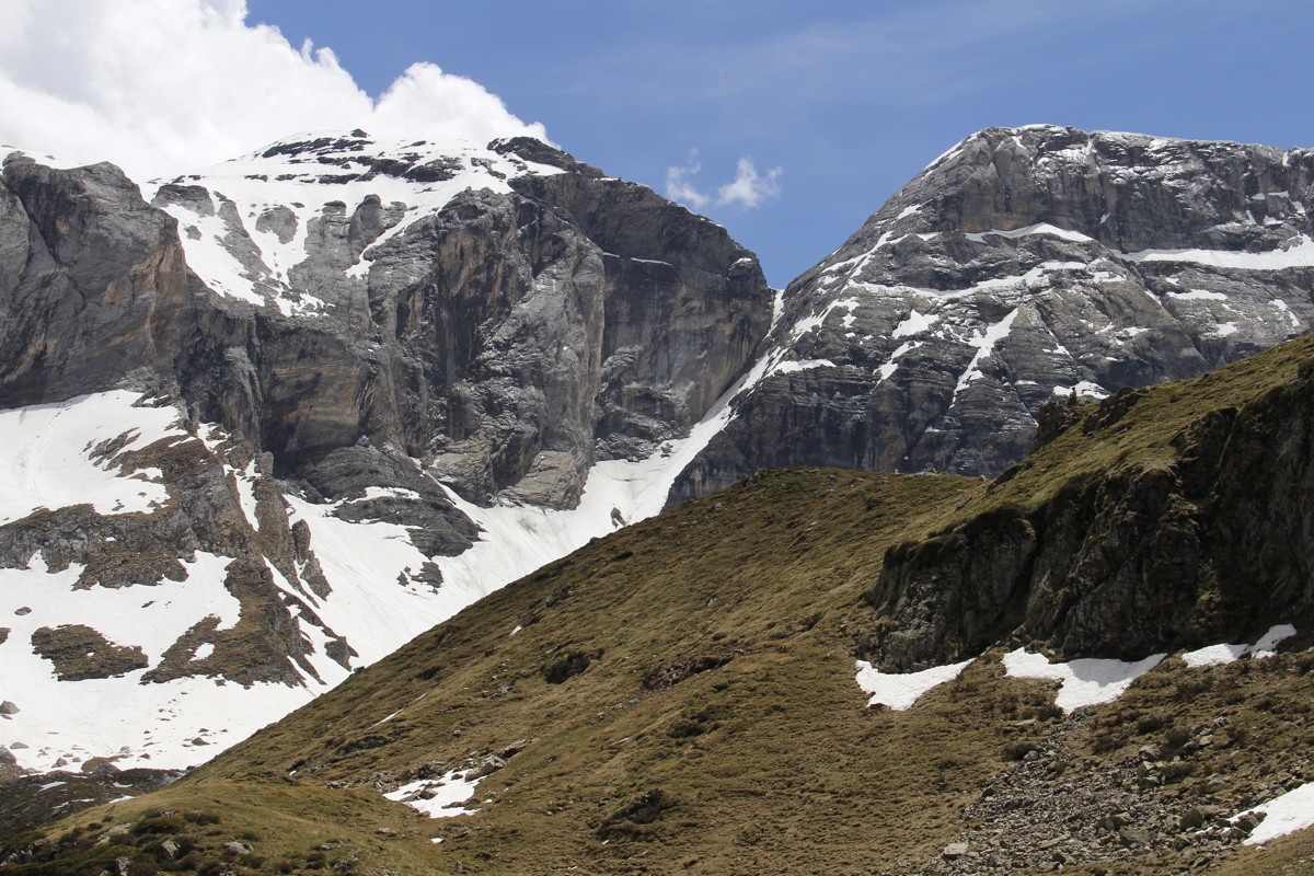
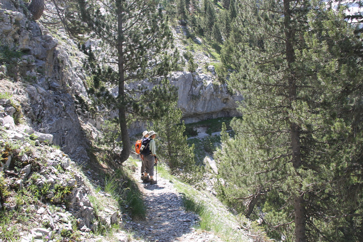
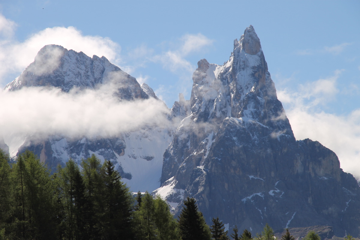
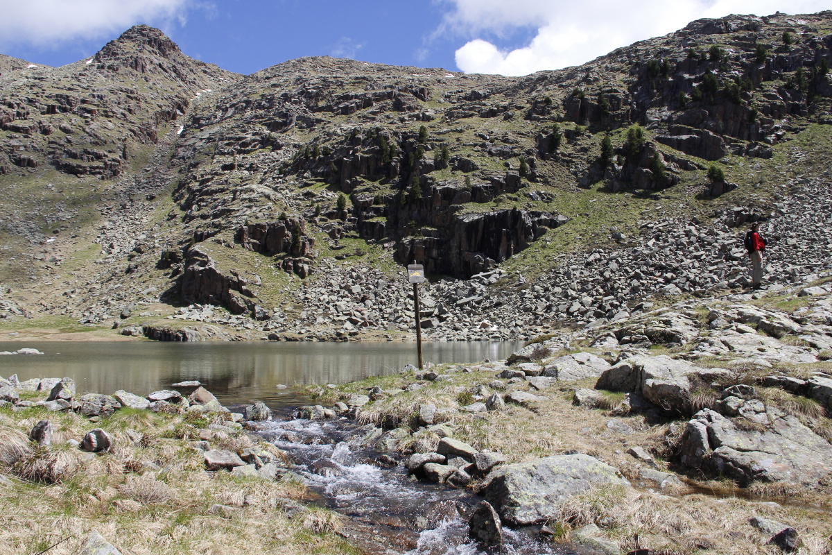
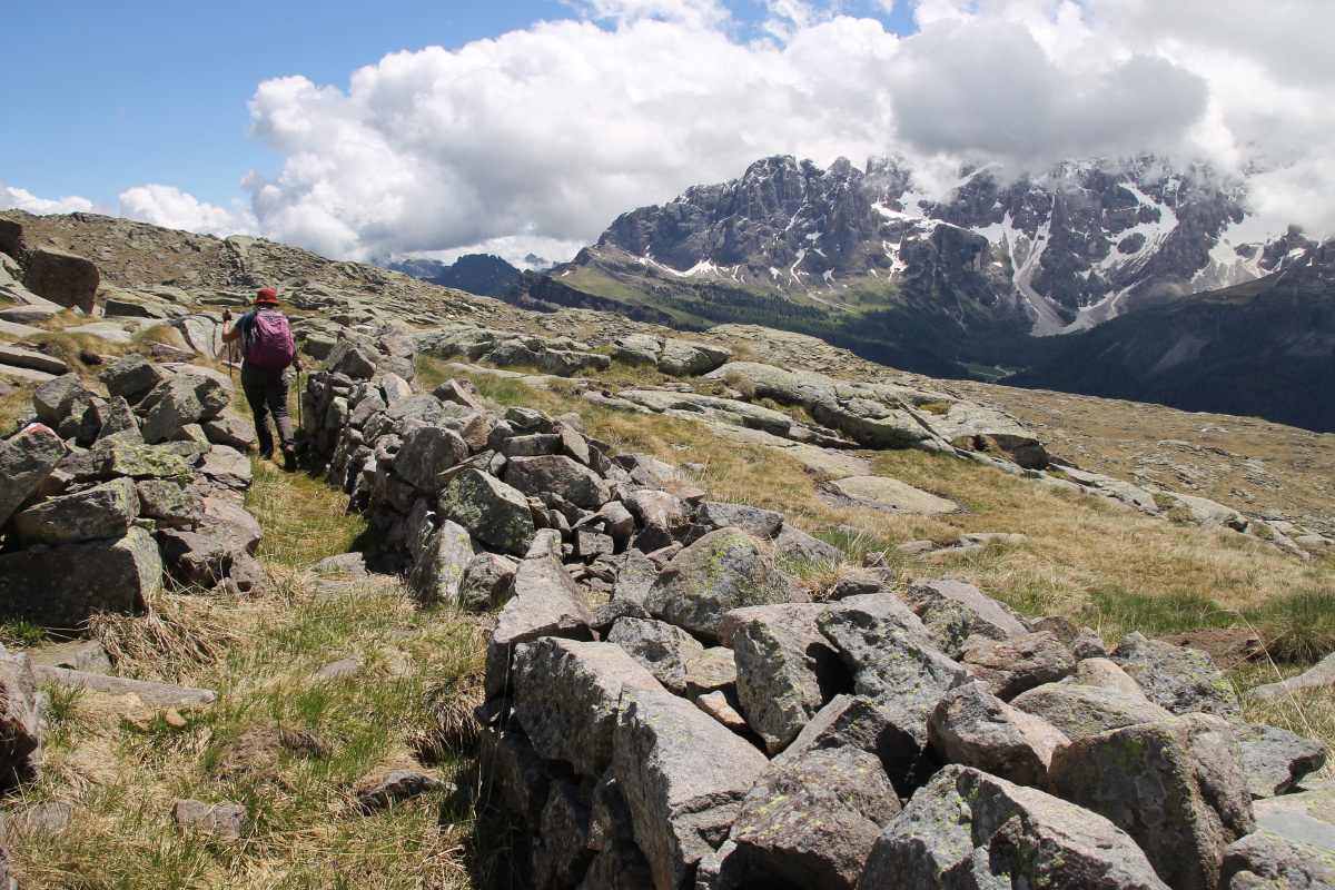
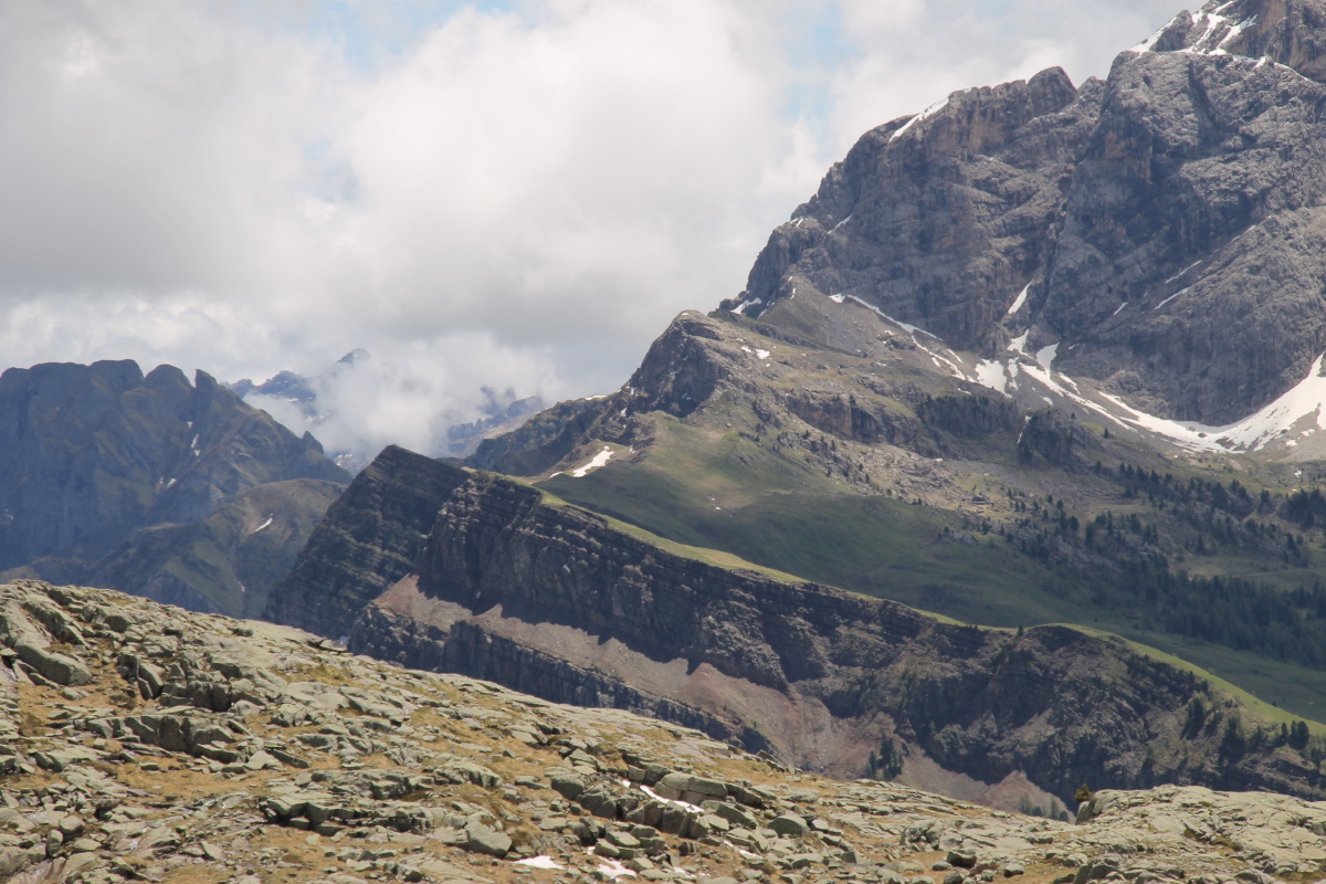
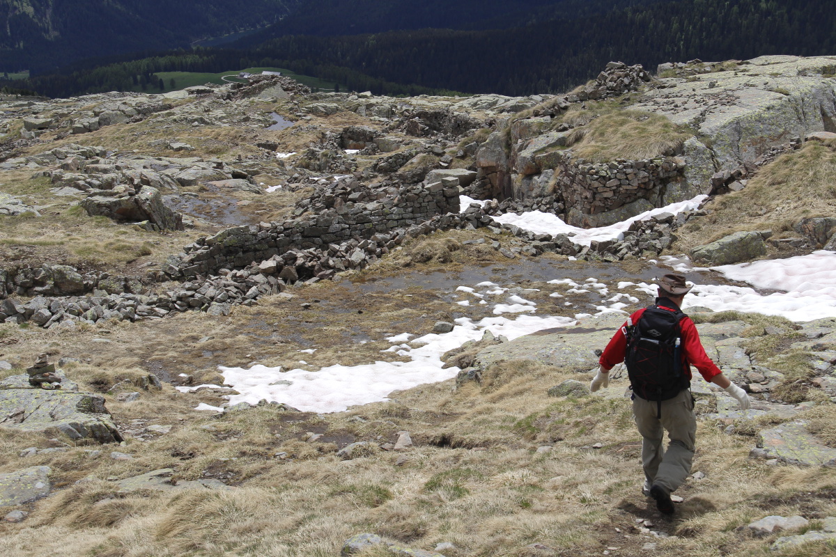
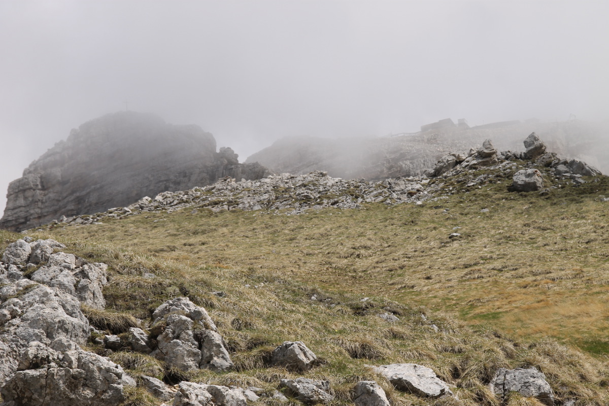
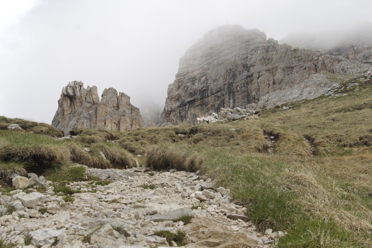
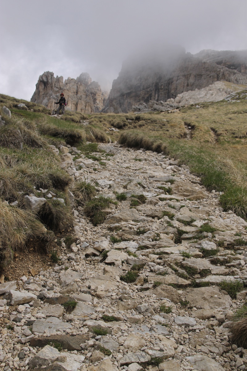
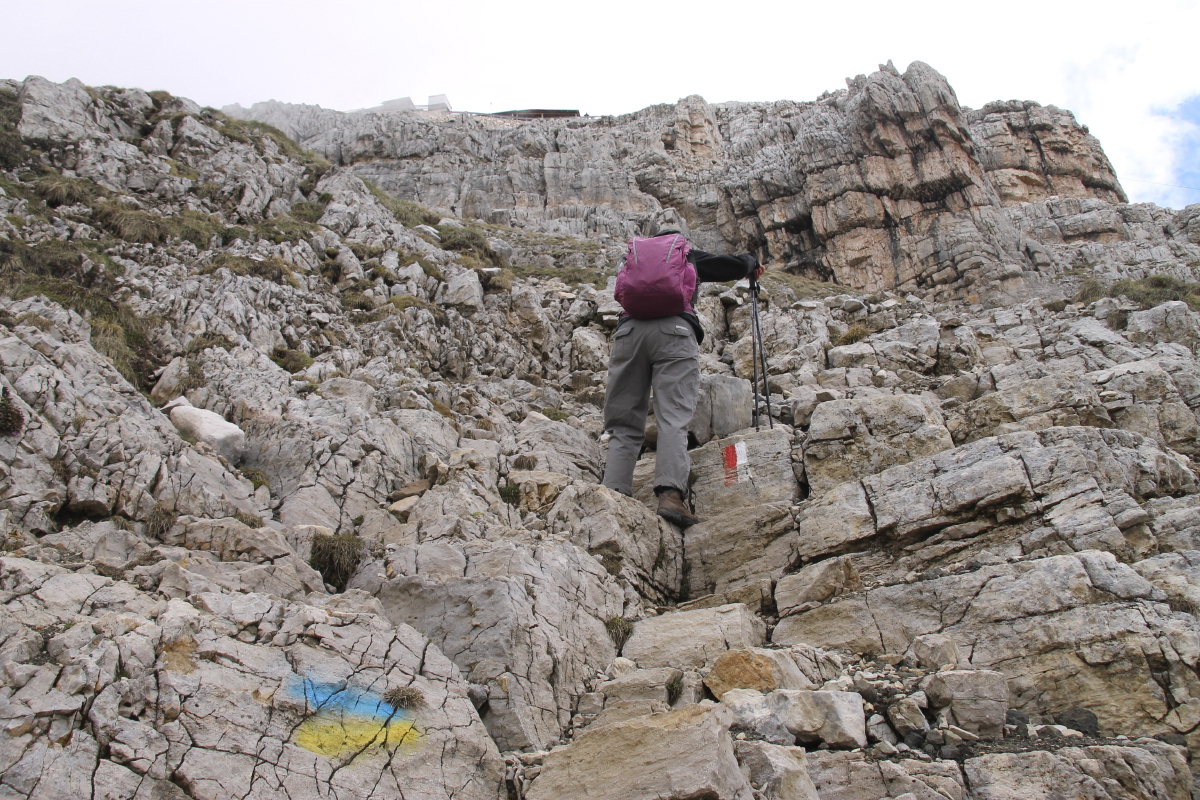
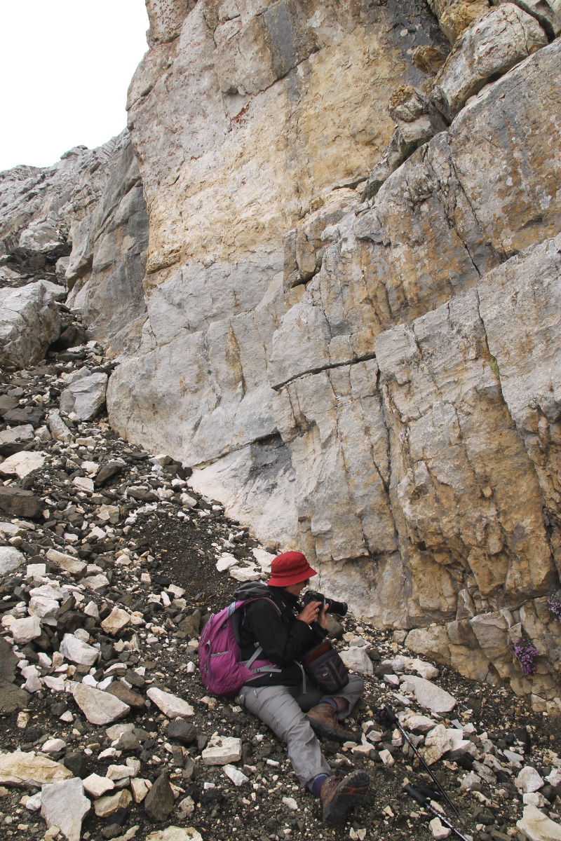
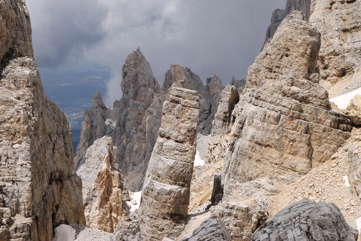
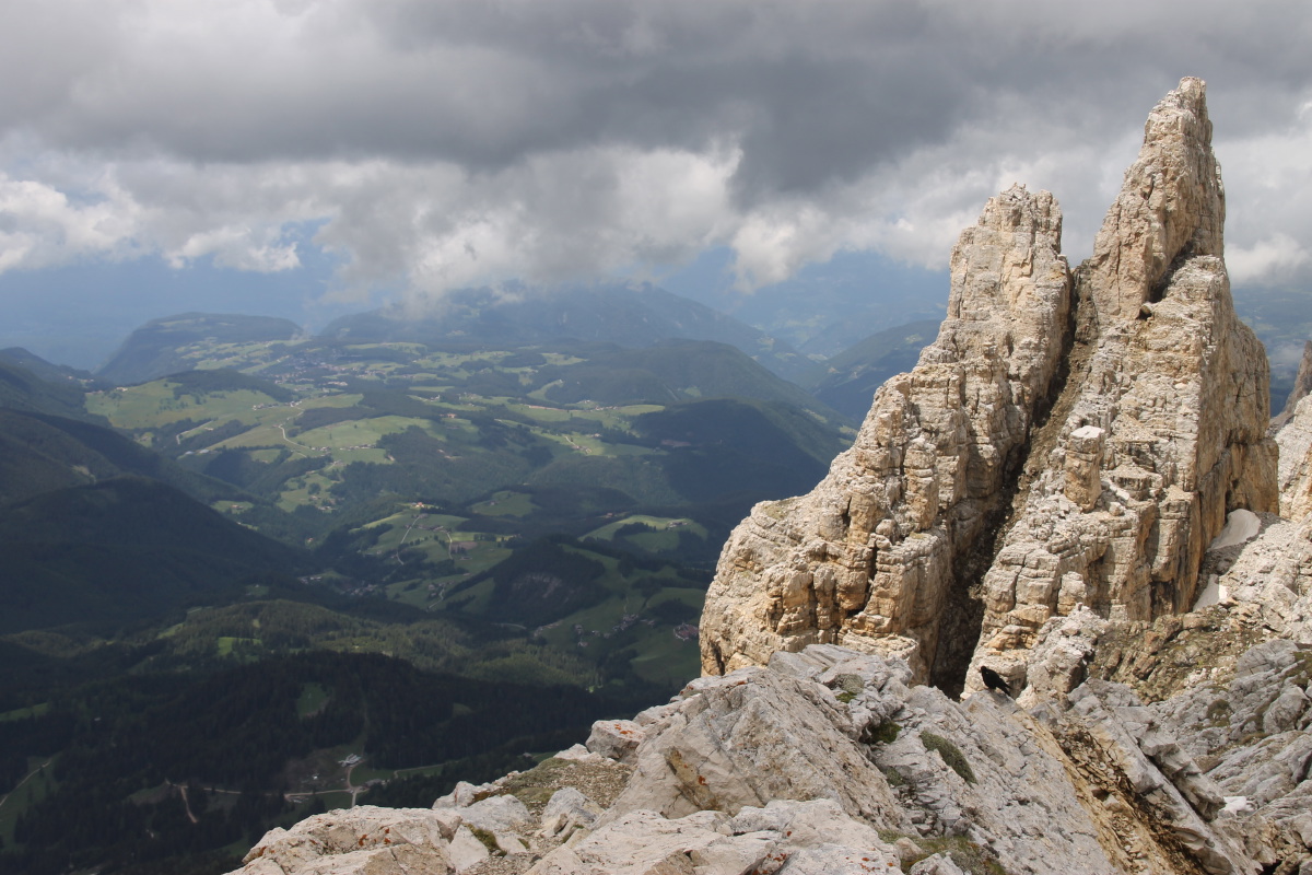
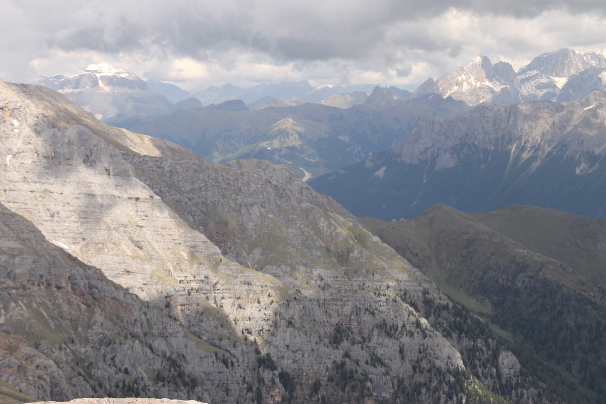
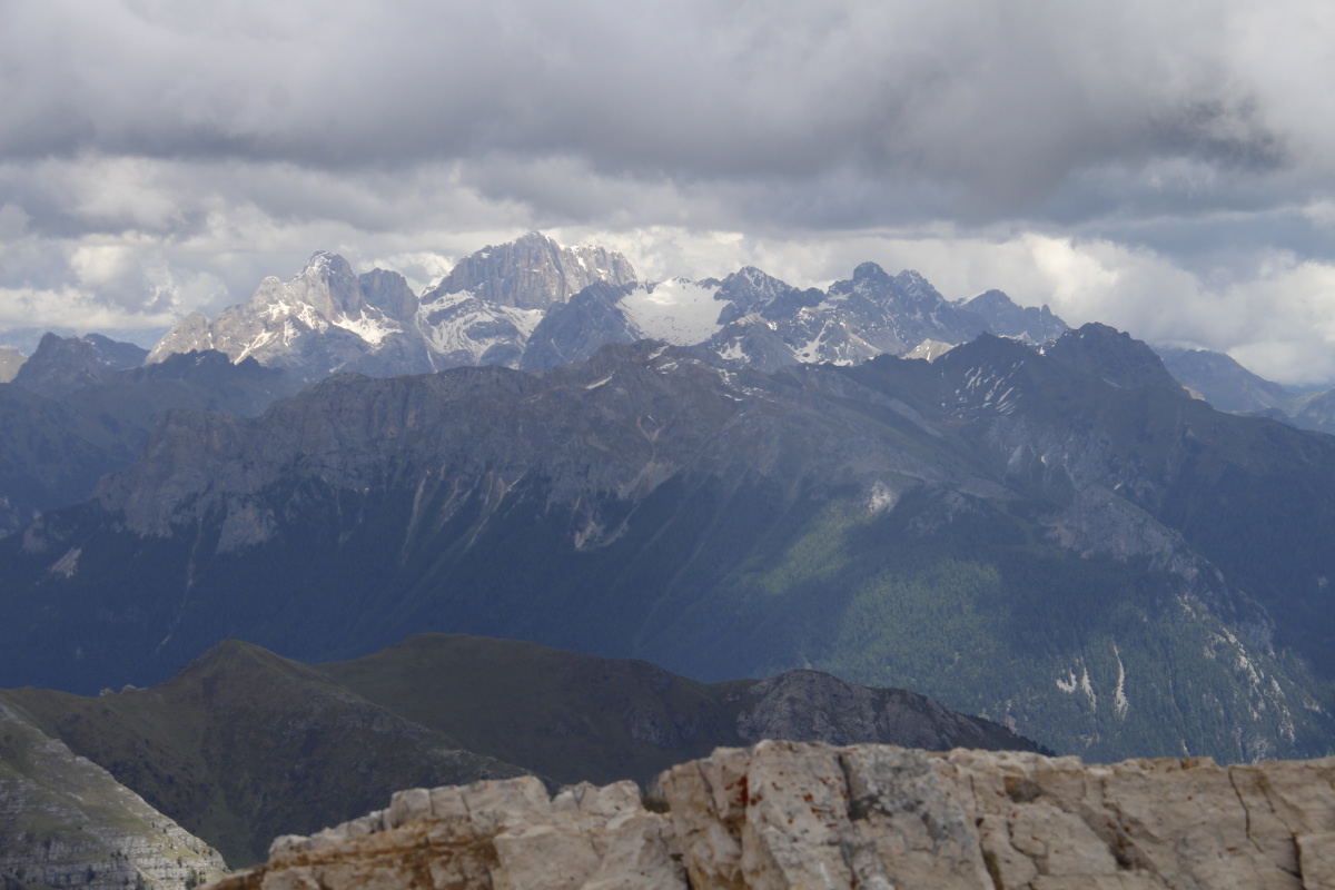
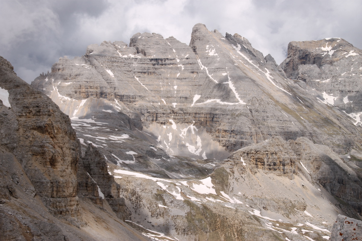
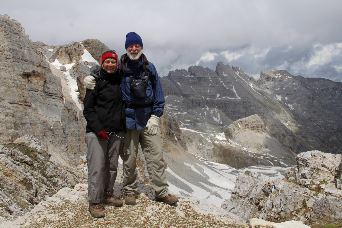
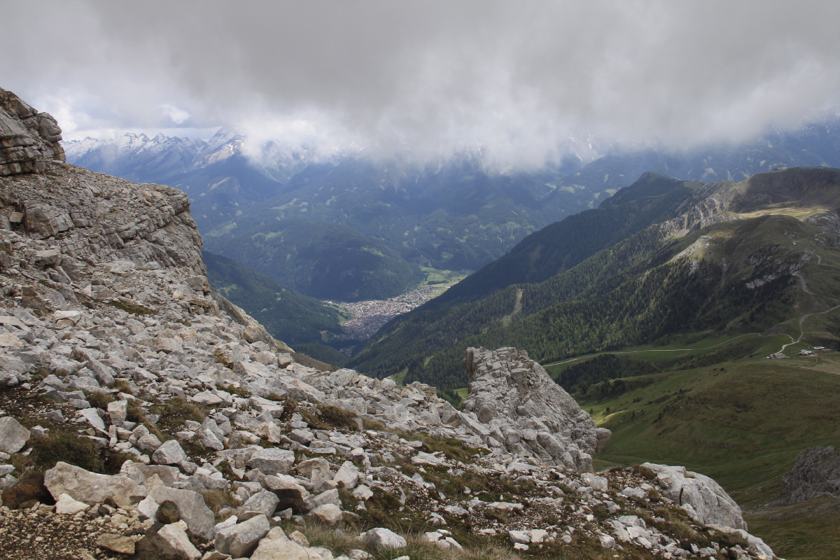
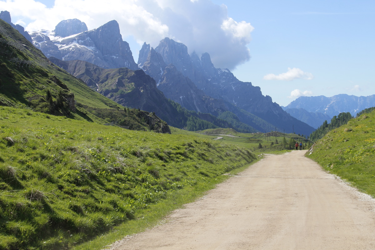
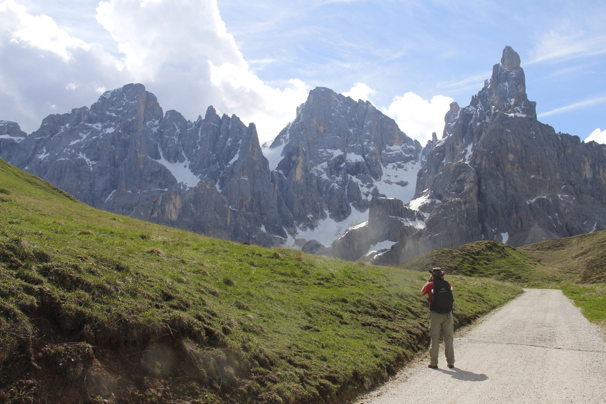
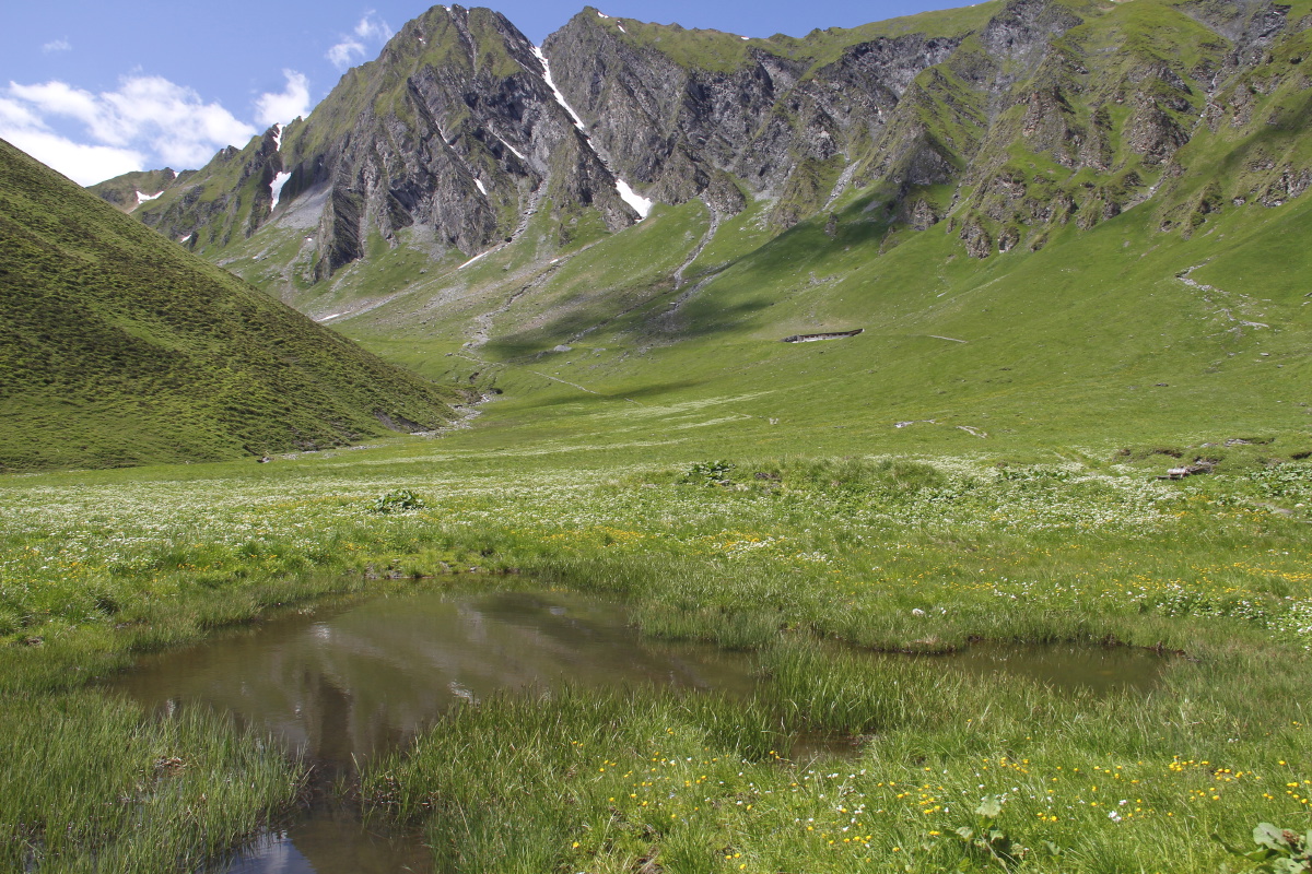
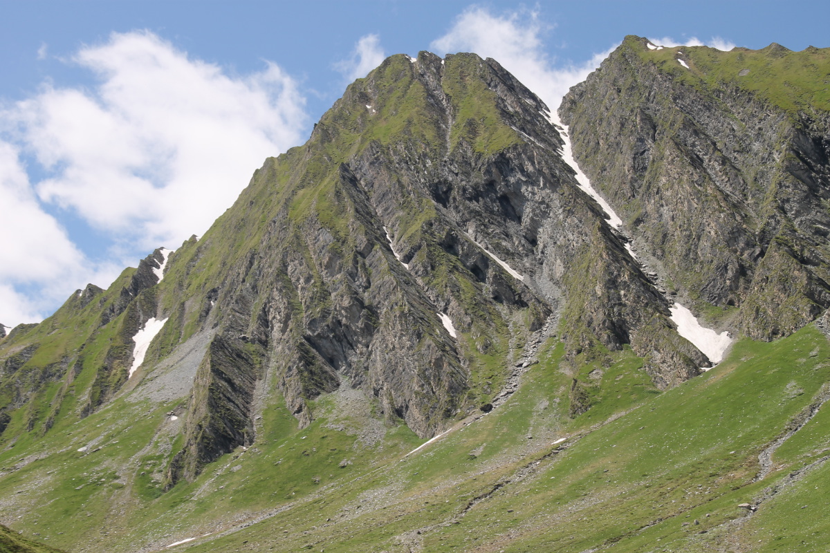
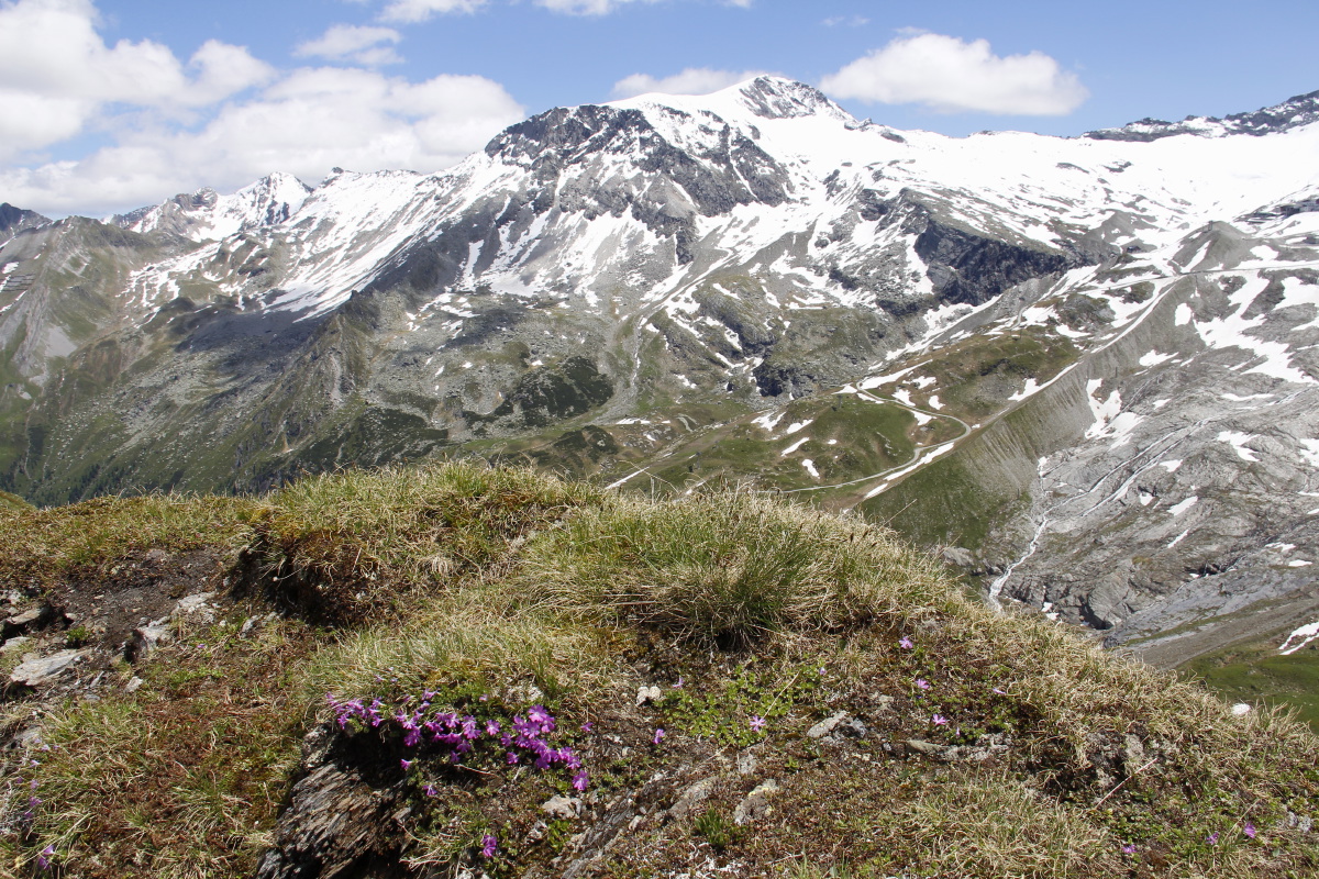
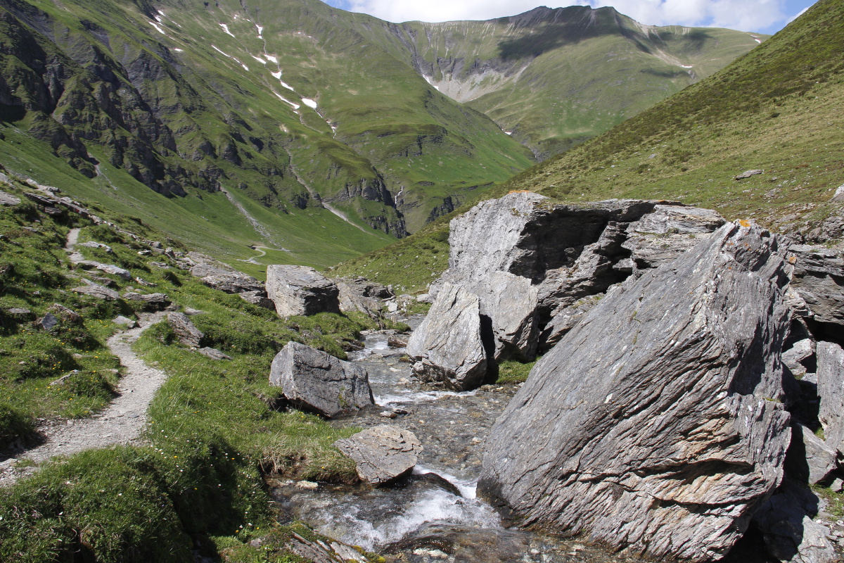
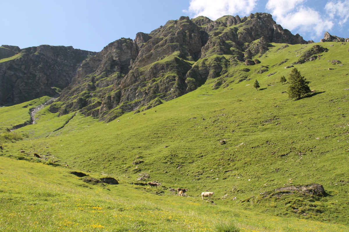
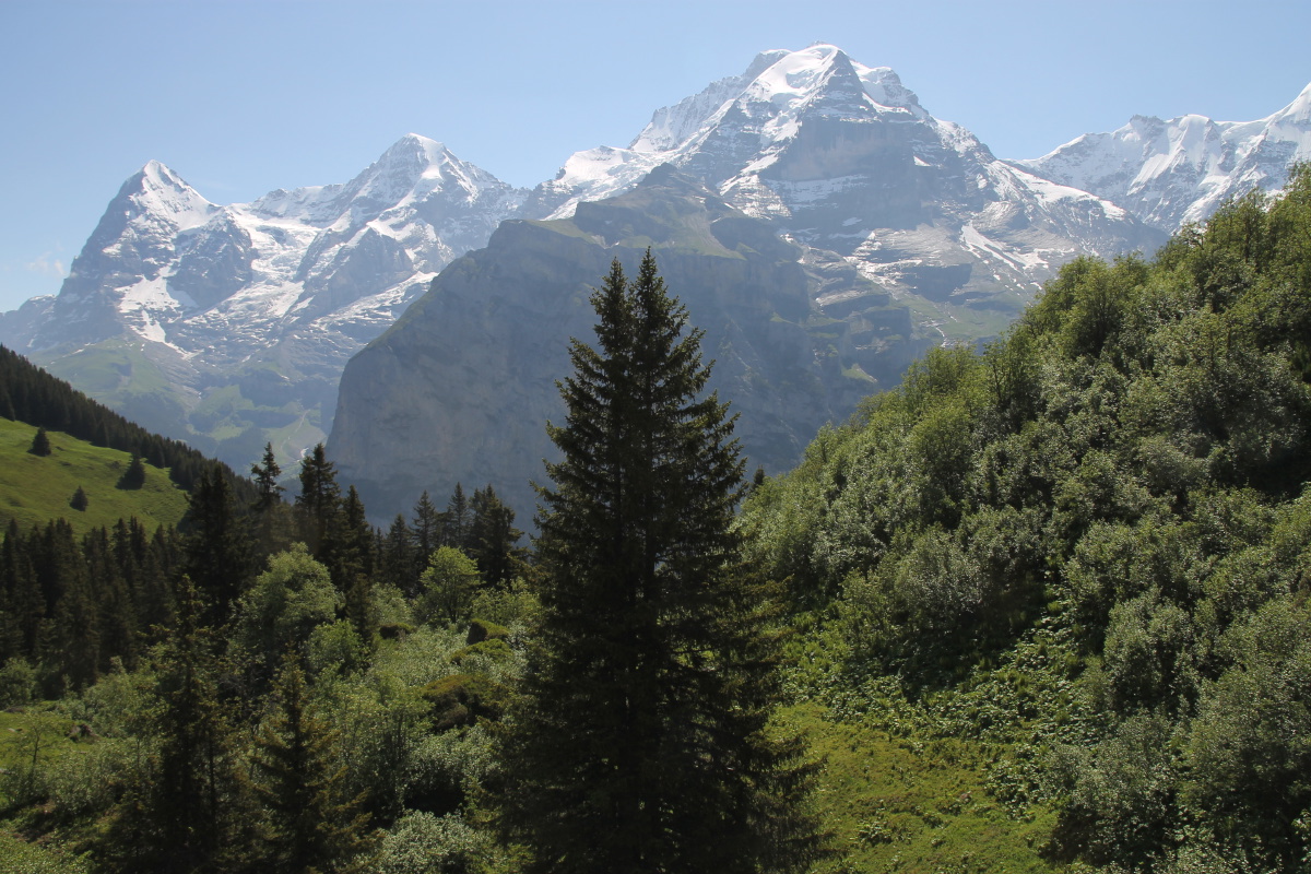
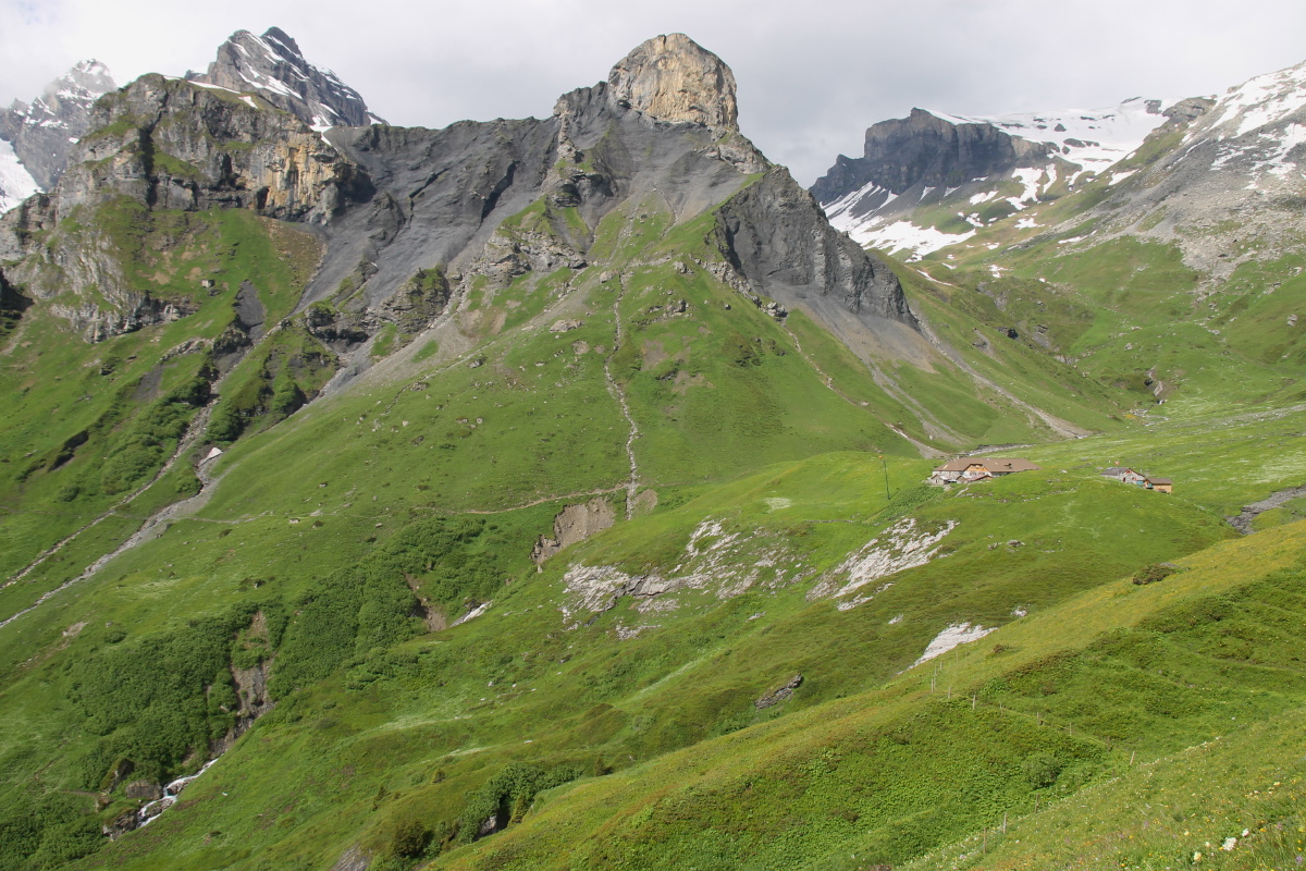
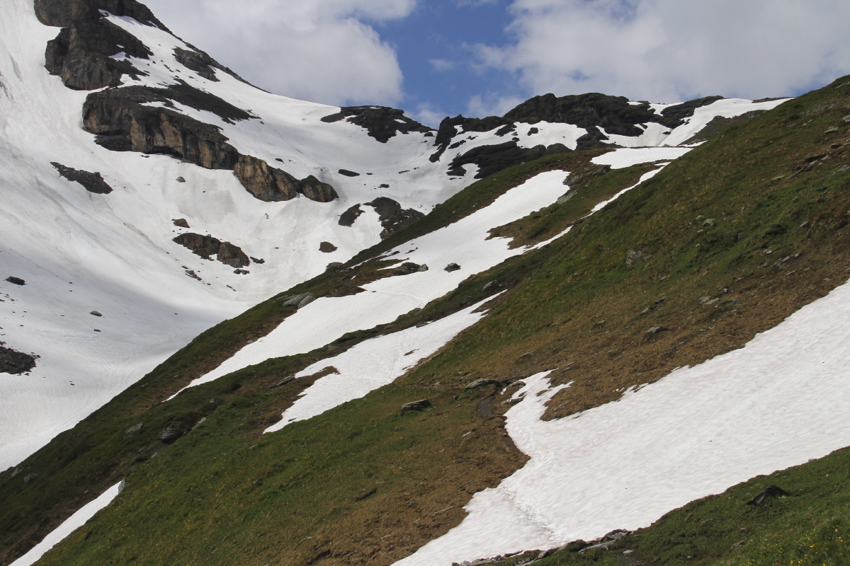
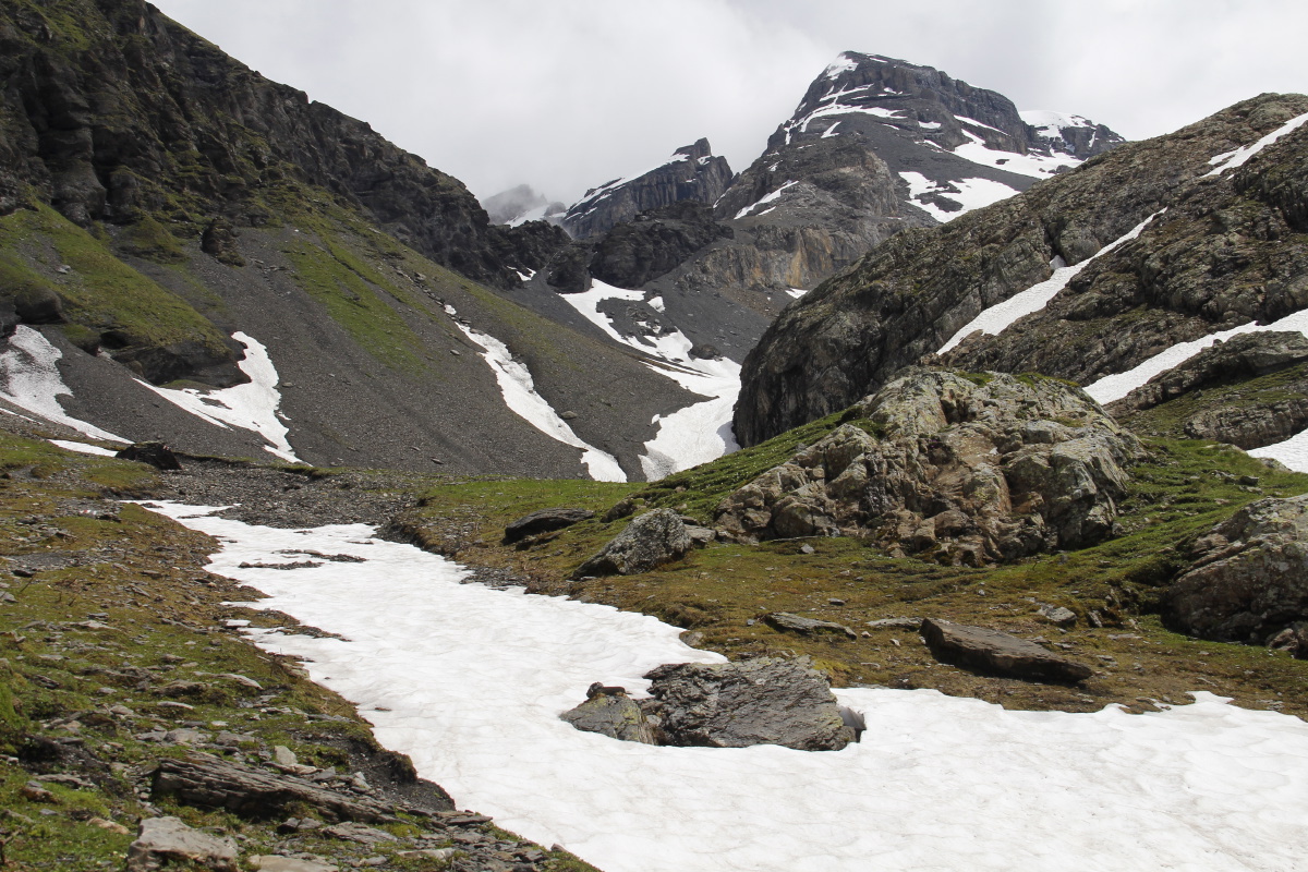
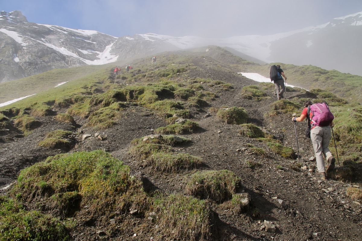
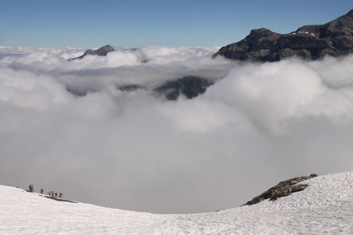
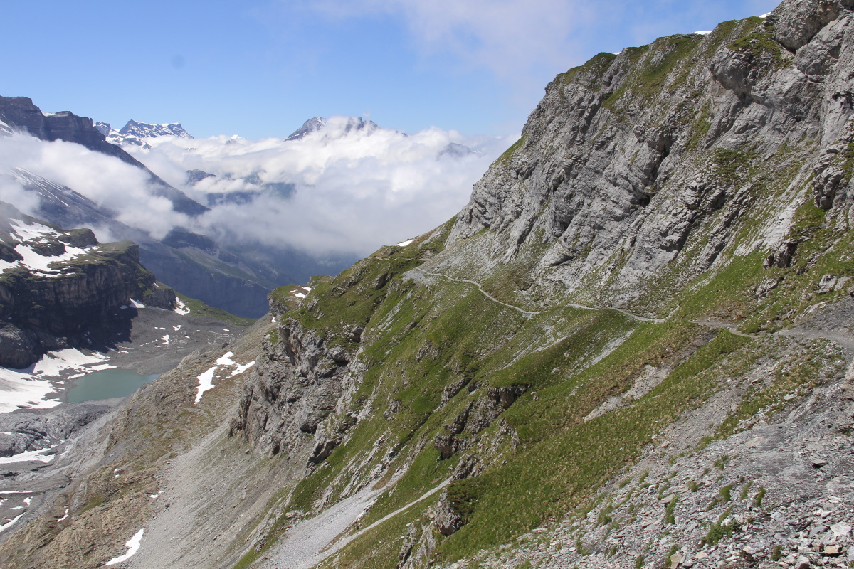
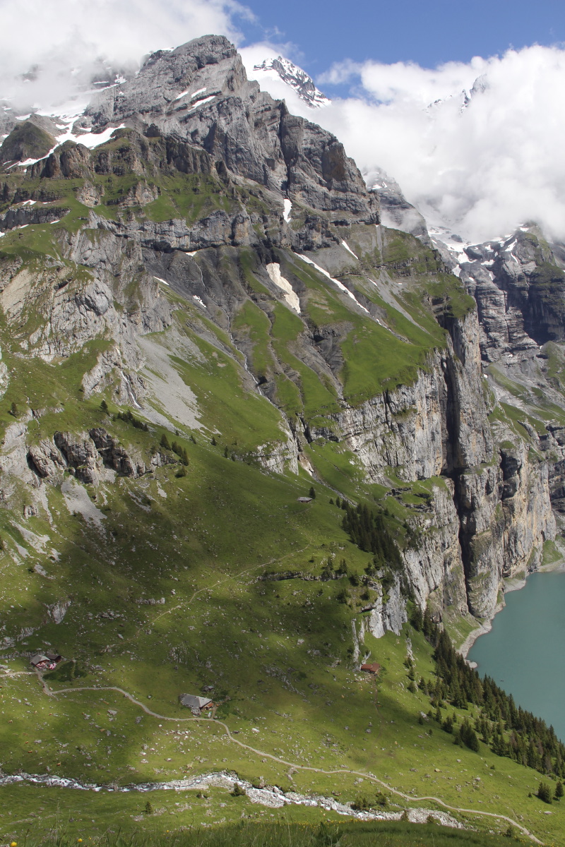
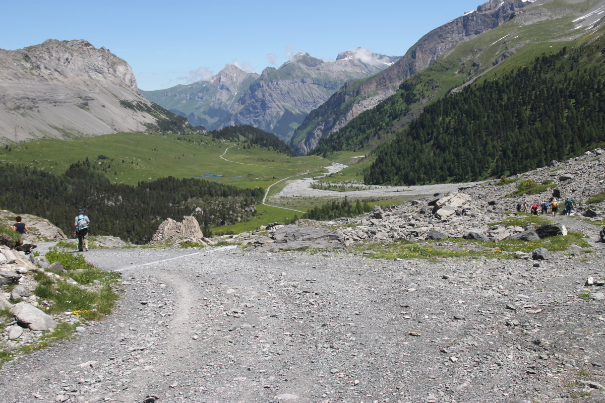
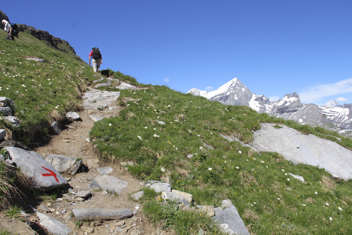
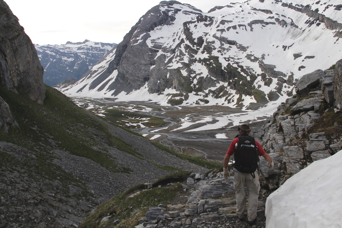
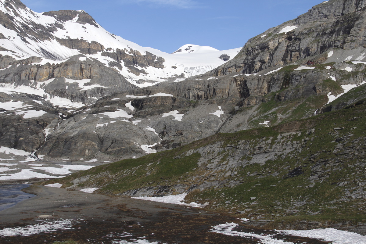
2. Pic du Midi di Ossau no. 1 – 800m and 14km – Thu
2 Jun 2016
This was the third visit to a favourite area, after 2011 and
2013.
We'd intended to go up the wall and into the lakes area, but turned across the river too early, and were swung SE instead of SW.
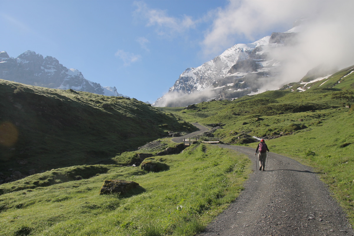
So we did a
3.5km / 450km sweeping rise up a long valley called the Rav d'Astu, a few hundred metres inside the Spanish border. |
|
|
|
|
|
|
|
Setting out, the Pic looming above |
Marvelling at Flower Valley |
Halfway along the soggy floor |
The first Fritillaria ... |
|
|
|
|
... and Linda taking it |
Behind us, the Pic still looms |
A Fritillaria beside the path |
But it's merely the edge
of Linda's Fritillaria Heaven |
|
|
|
|
Looking beyond Heaven,
back down the valley |
Rising now, but
still glancing back ... |
... and again |
Well off the intended track now,
looking back to the lakes |
|
|
|
|
Above the stream |
Rising rapidly on
a steep transverse slope |
And getting to the upper levels |
Lunch close up to the ridge |
|
|
|
|
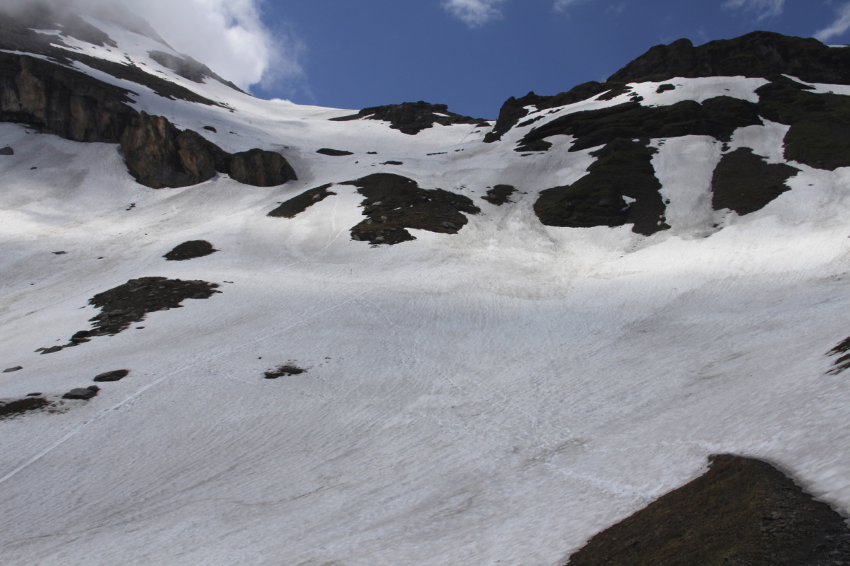
Returning from a summit foray
confirming there's a steep,
snow-covered 2km cirque
in the wrong place |
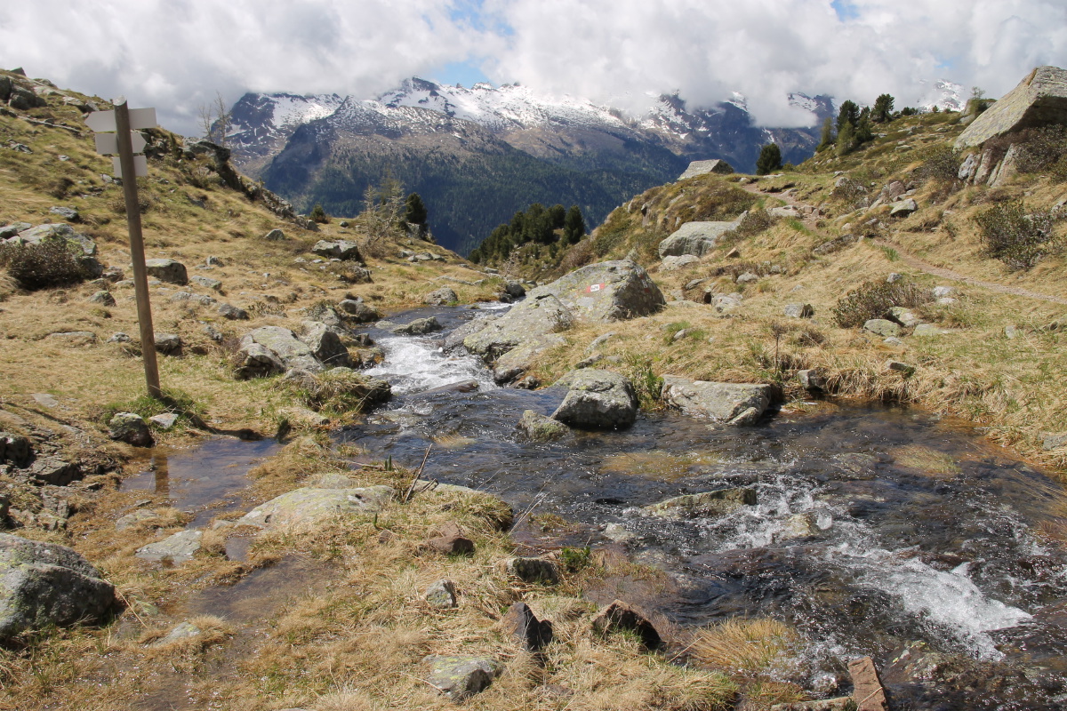
On the way home |
Near the place we (I) went wrong |
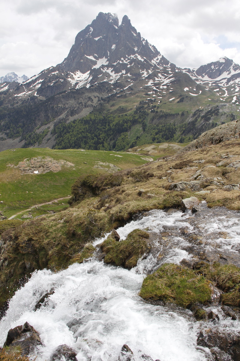
The bubbling stream |
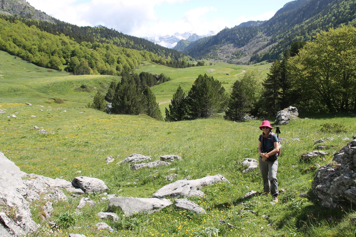
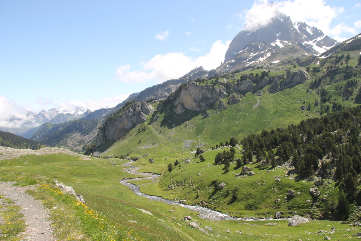
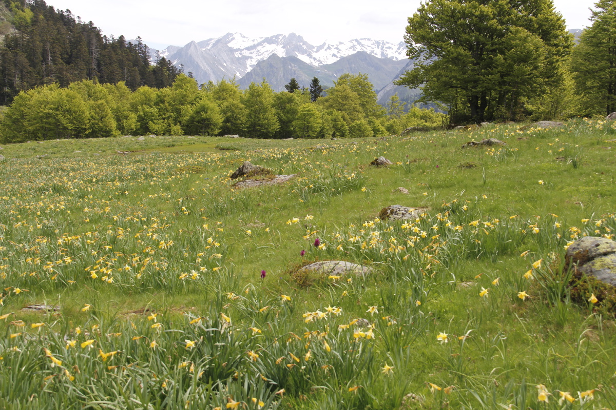
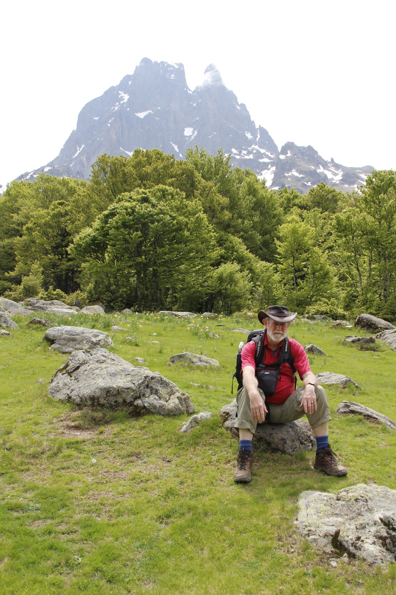
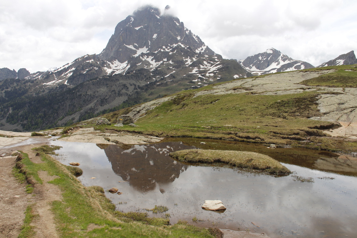
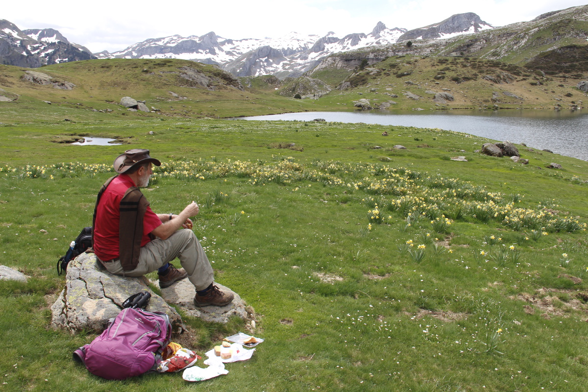
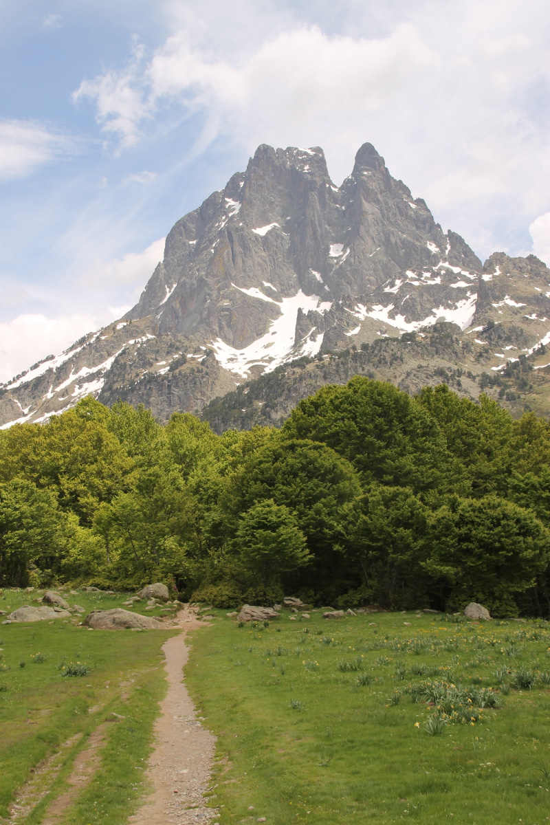
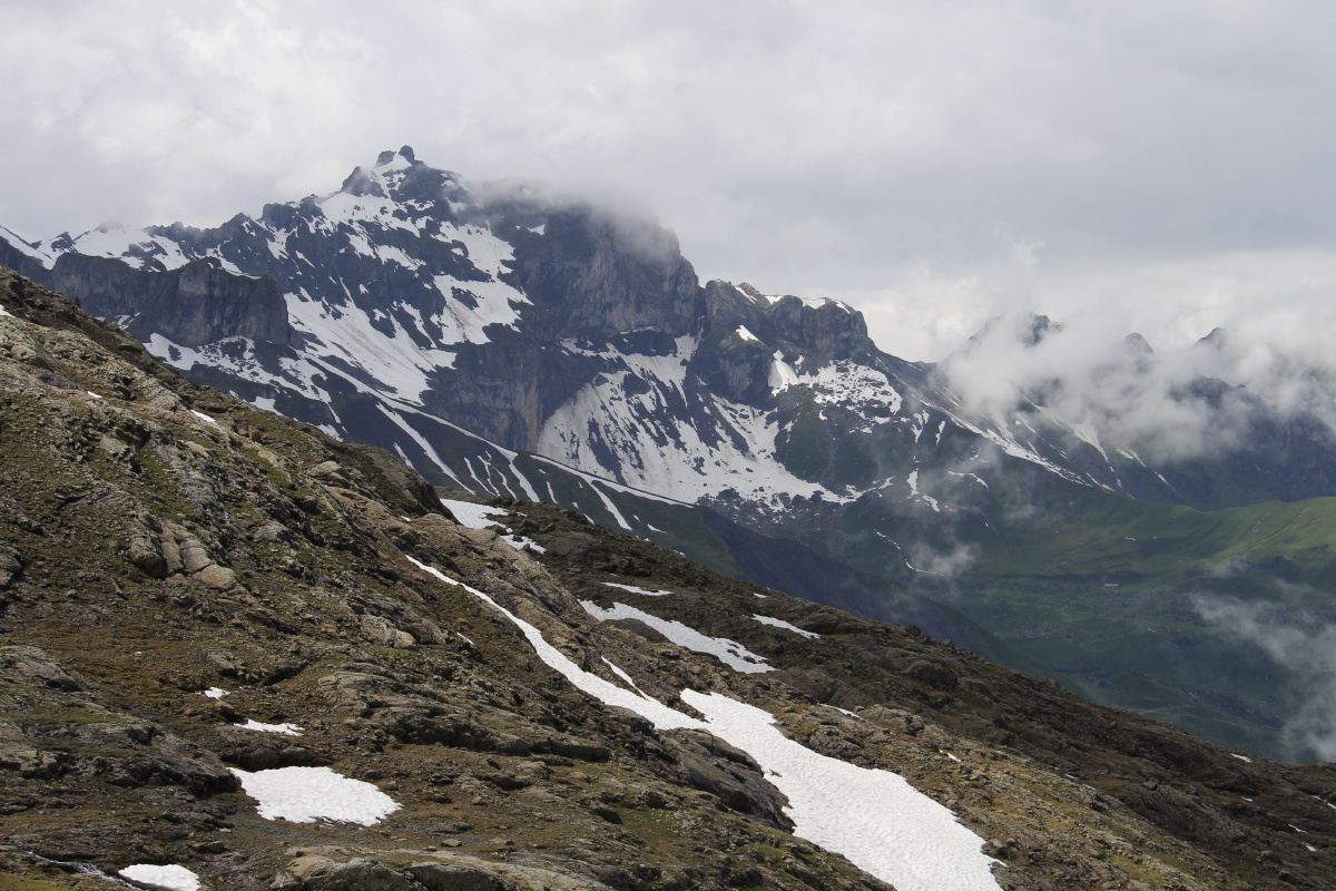
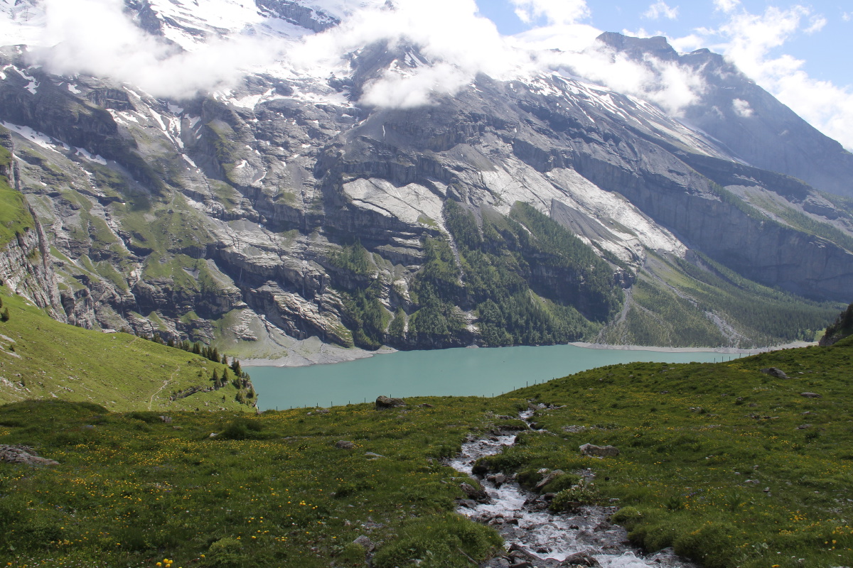
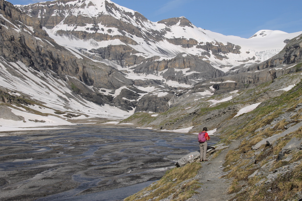
3. Pic du Midi di Ossau no. 2 – 700m and 13km – Fri
3 Jun 2016
Linda and I made good for some of the previous day's error, by going directly
up to the lakes, and returning.
|
|
|
|
Leaving the Valley
of the Flowers |
Through the wood |
To the meadows |
Roger, unwell,
resting |
|
|
|
|
Looking down on The
Valley of the Flowers |
Rock, daffs, mountains |
Pic du Midi d'Ossau |
Lunch at
Lake Roumassot |
|
|
|
|
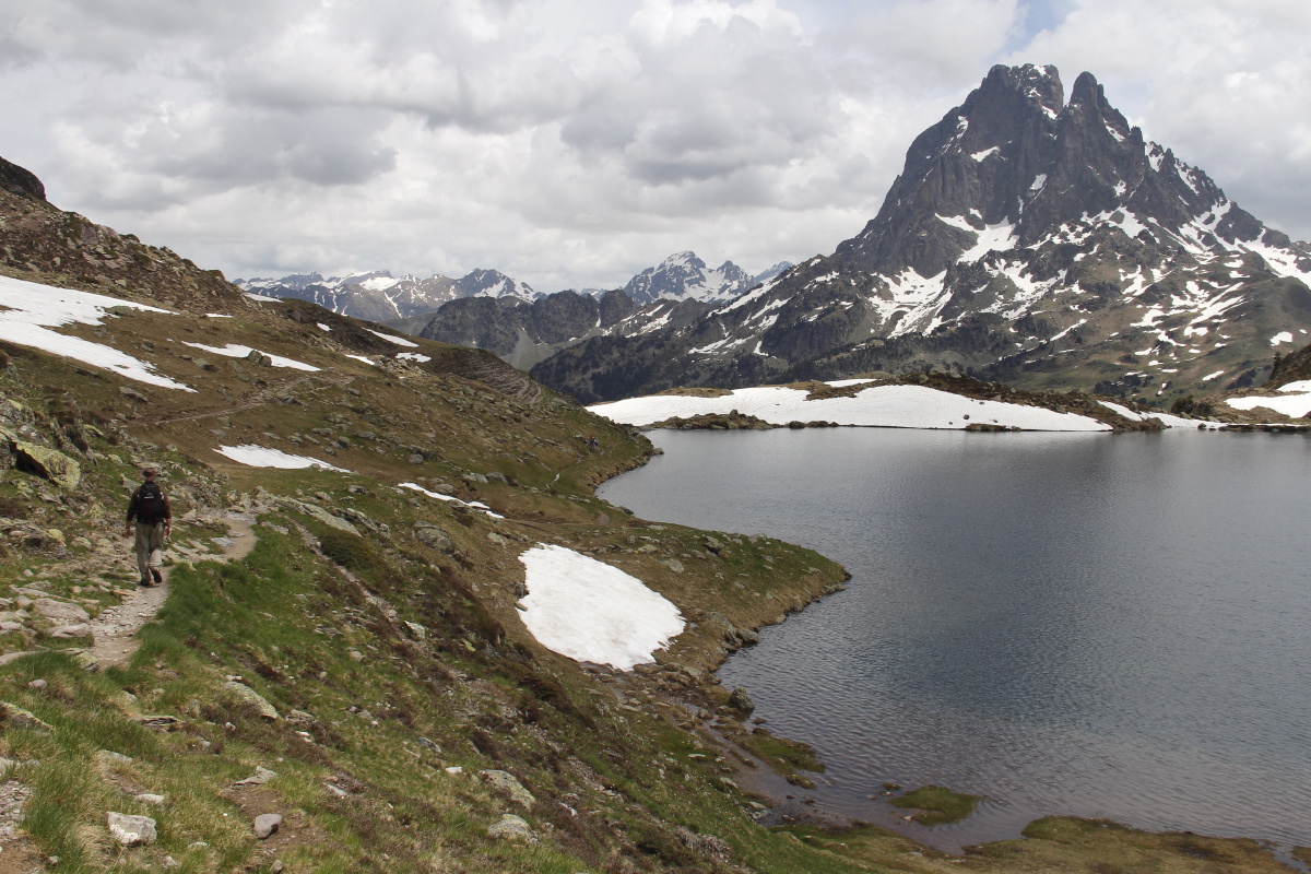
Back to Walk 1,
right, left, then
right behind the ridge |
A Picturesque
water feature |
The upper-level
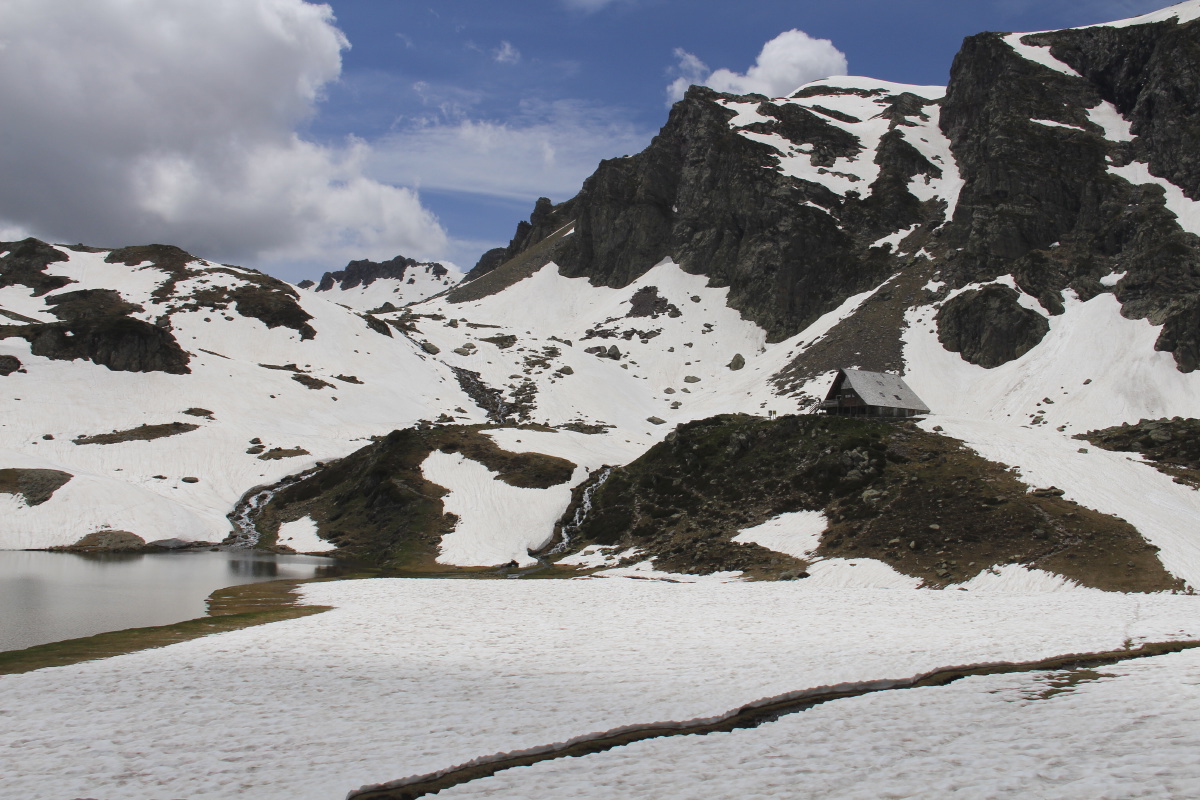
Lac Gentau |
The refuge, and
the pass above |
|
|
|
|
Back along
Lac Gentau |
At the ledge
with the waterfall |
Linda denying a
foreground feature
by walking too quickly |
Back down to
the Valley's end |
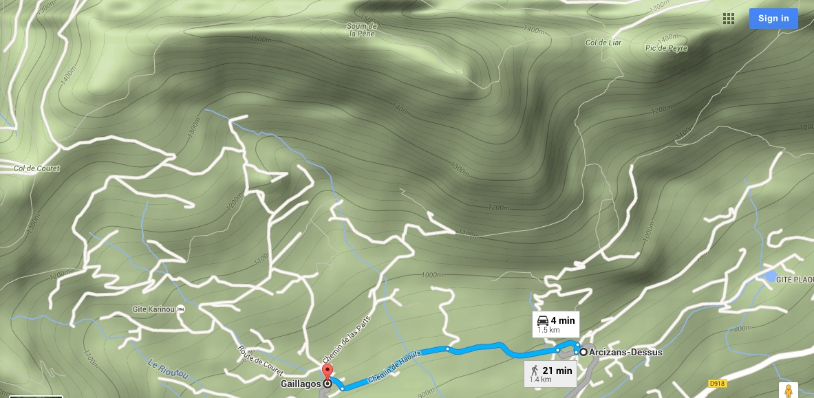
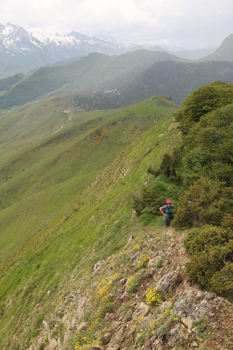
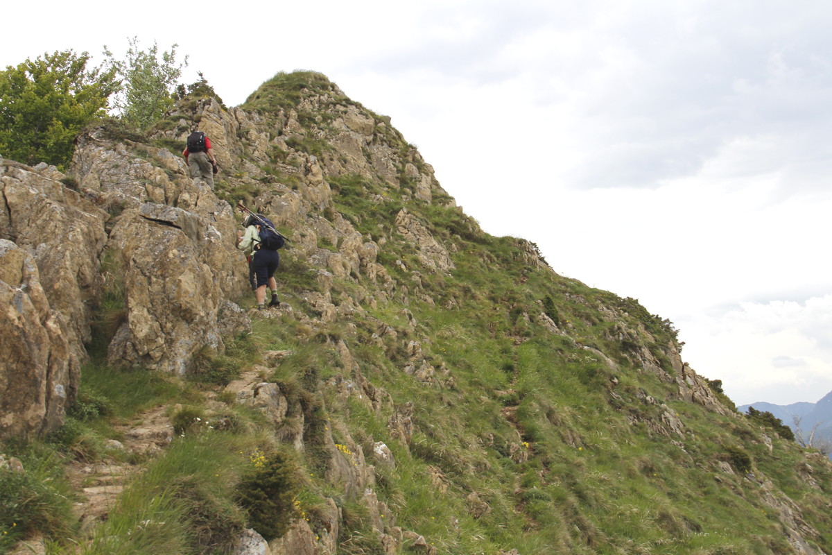
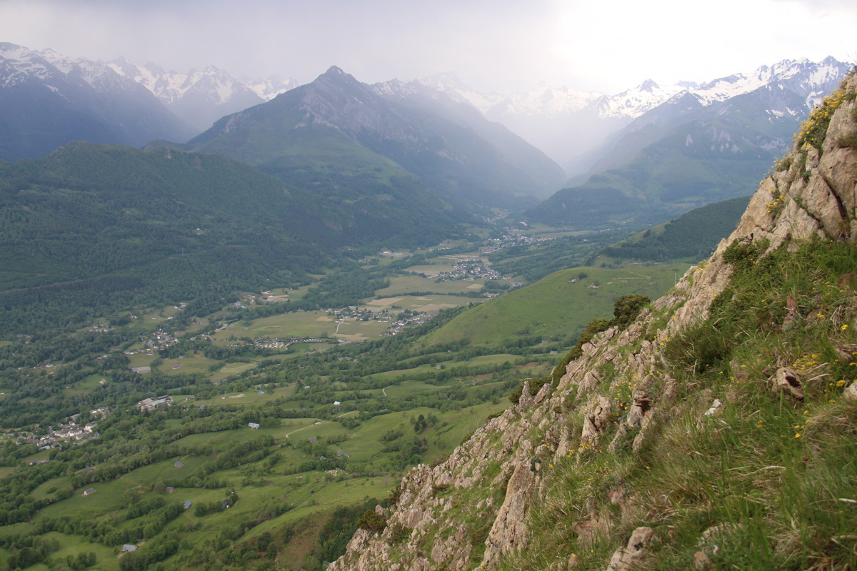
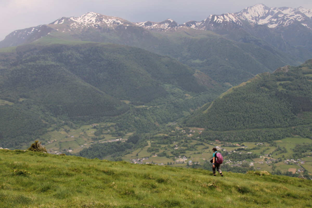
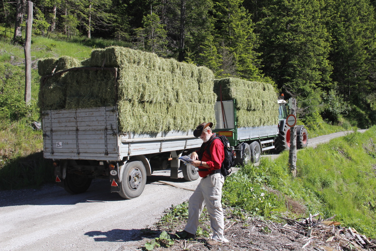
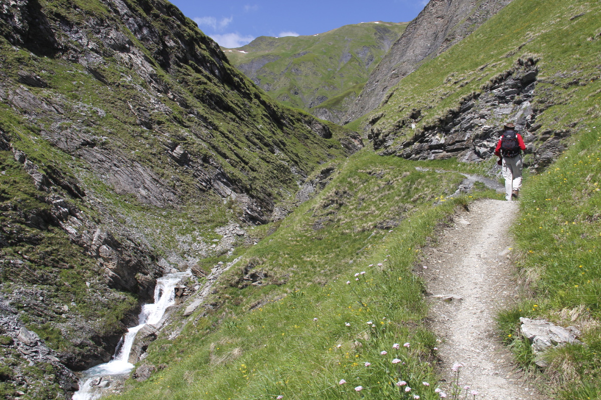
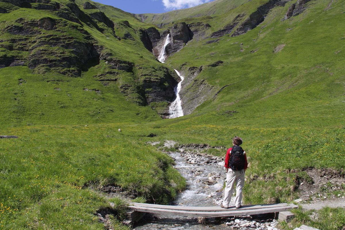
4. Soum de la Péne – 750m and 14km – Mon 6 Jun
2016
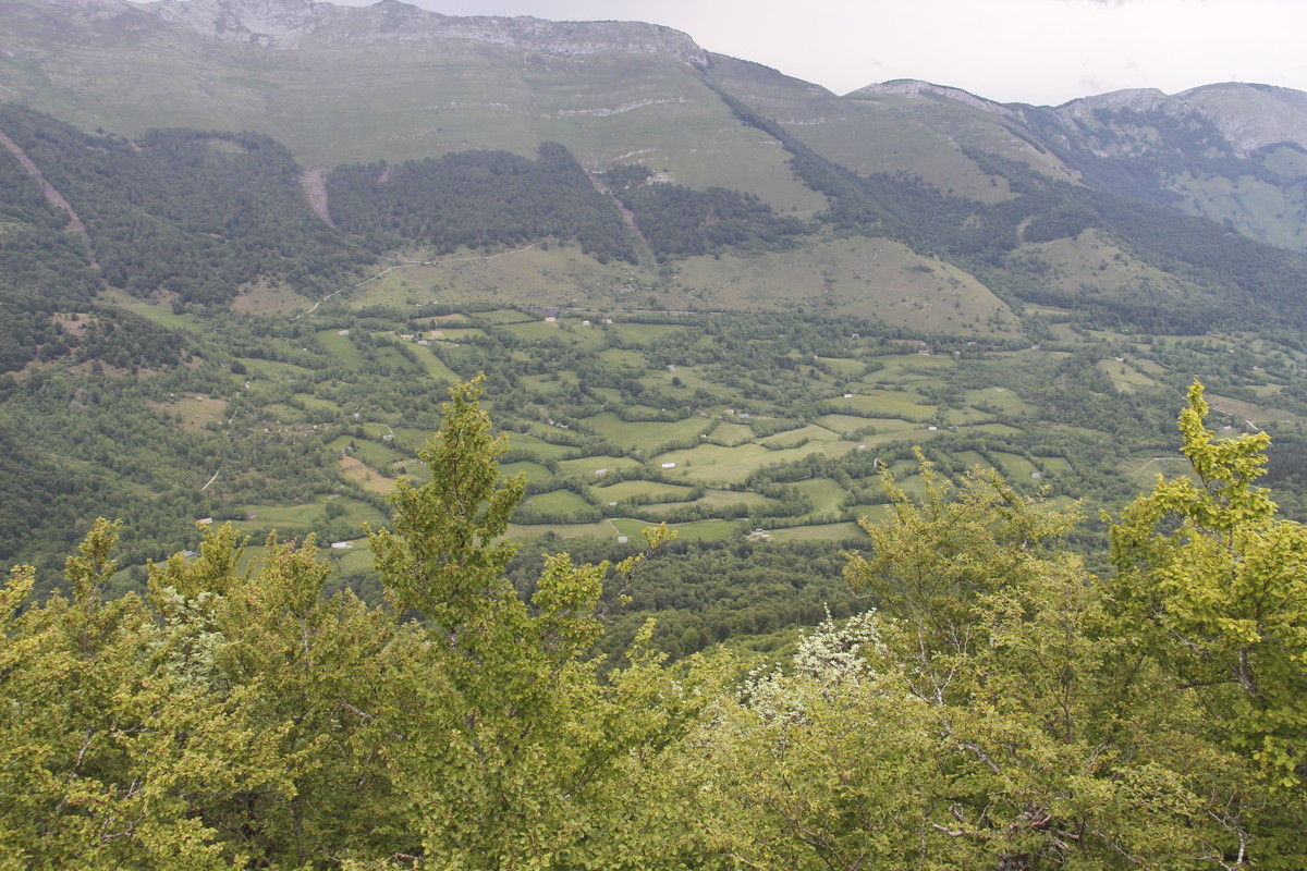
This started with a contour walk from our gites Le Chaoutet
(North of the pond), via Arcizans-Dessus and Gaillagos. It then went
steeply up northwards,
then north-west and up to
Col de Couret, and finally east along the knife-ridge. The ridge offered
brilliant views south into the Pyrenees, and north into the last valley
before
the foothills.
Then back home eastwards and southwards via a rather nasty path that spoilt an otherwise very good walk. |
|
|
|
|
|
|
Looking SW from the contour
between the two villages |
Beside the road |
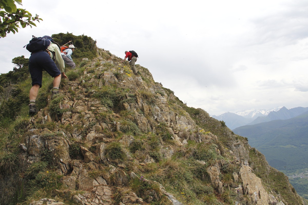
After rising 550m steeply,
we start along the ridge ... |
... which turns out to need some hands-work |
|
|
|
|
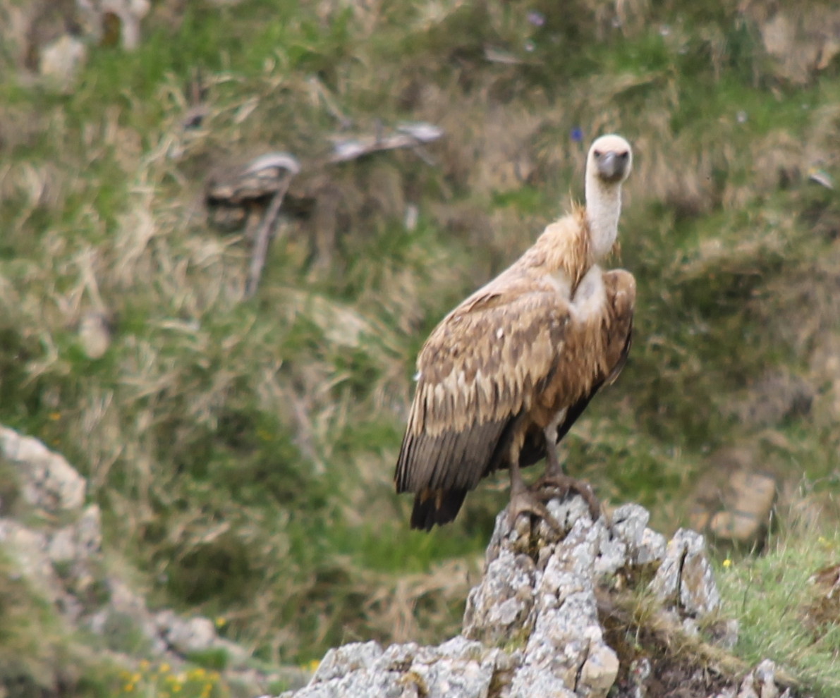
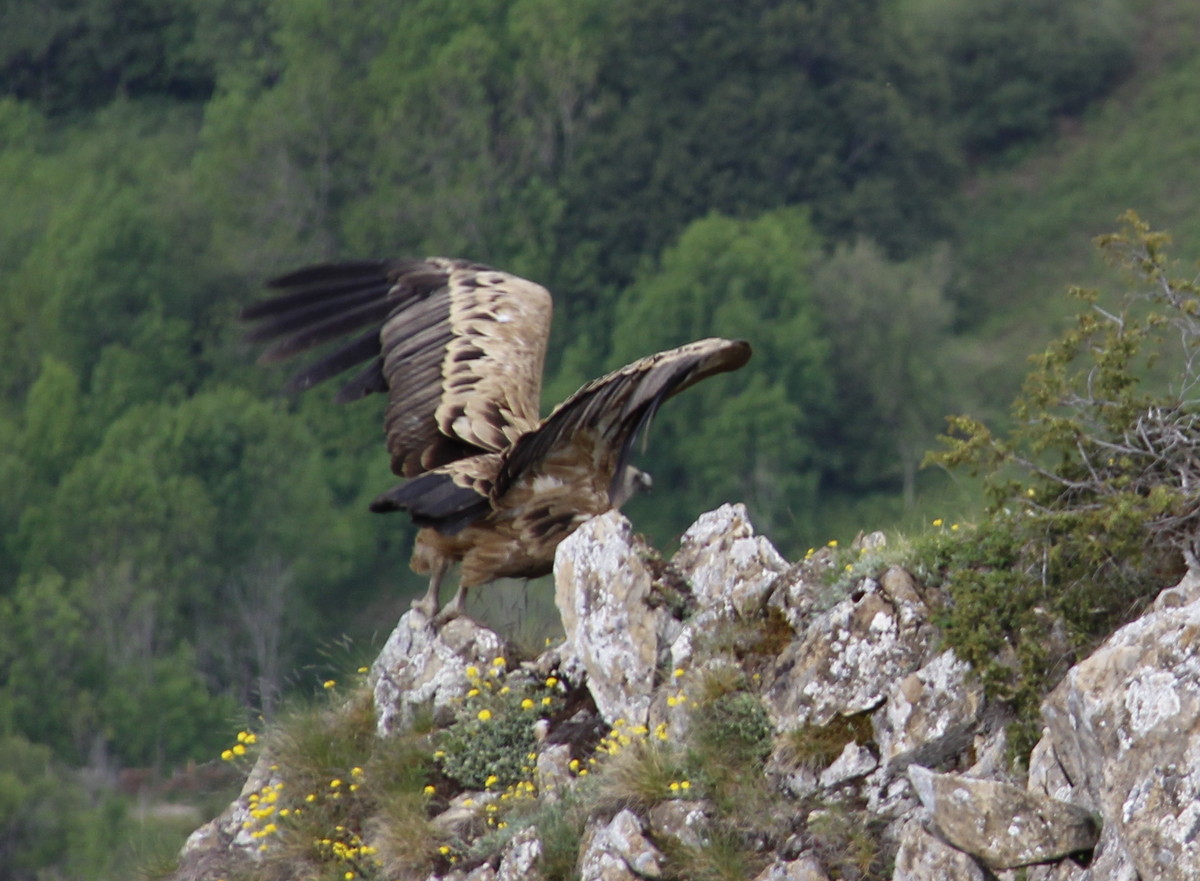
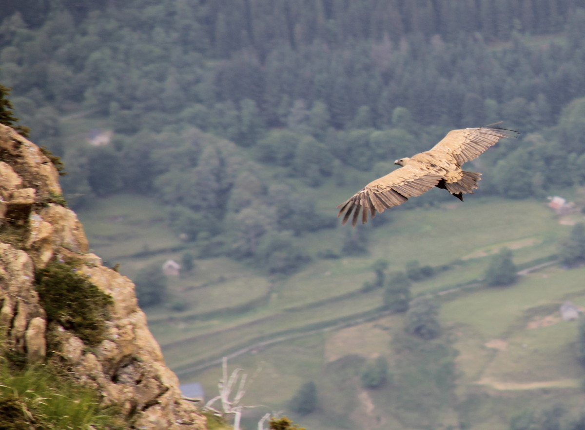
A little put out by visitors, ... |
... a vulture departs ... |
... and joins the others, circling |
On and up, closer to the peak |
|
|
|
|
Finally a view over the beech-forest
on the southern slopes |
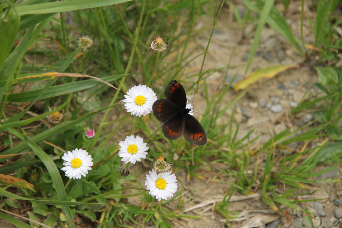
Pauses for flower-shots |
But mainly still climbing |
As storms build in the West |
|
|
|
|
Nearing the top, still with flowers ... |
... some artistically arranged |
The storms held off |
Off the eastern end, going home |
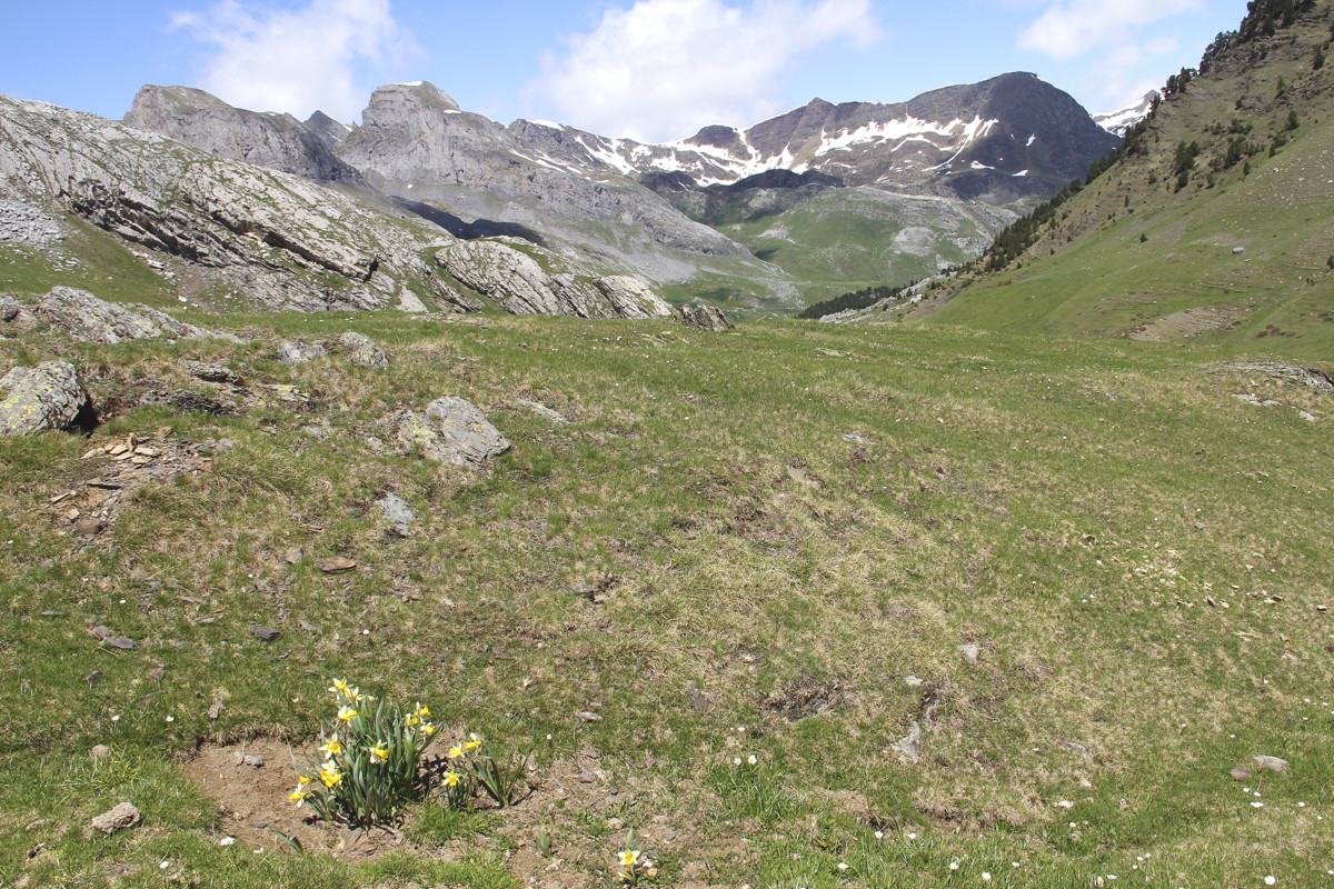
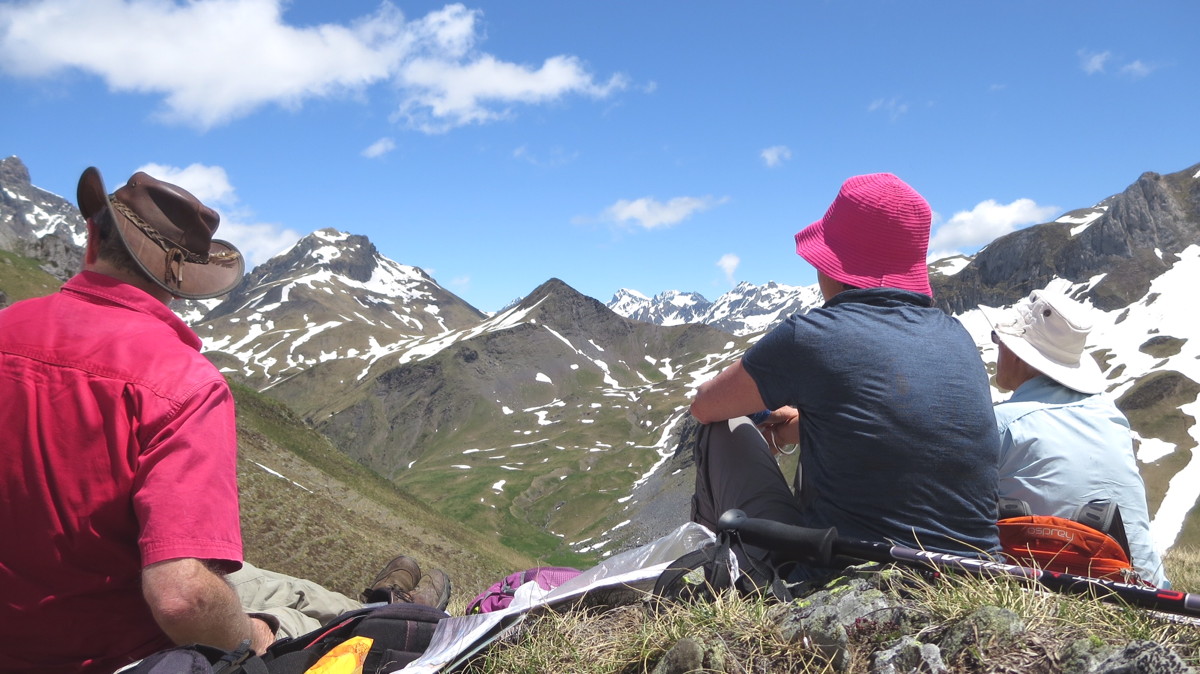
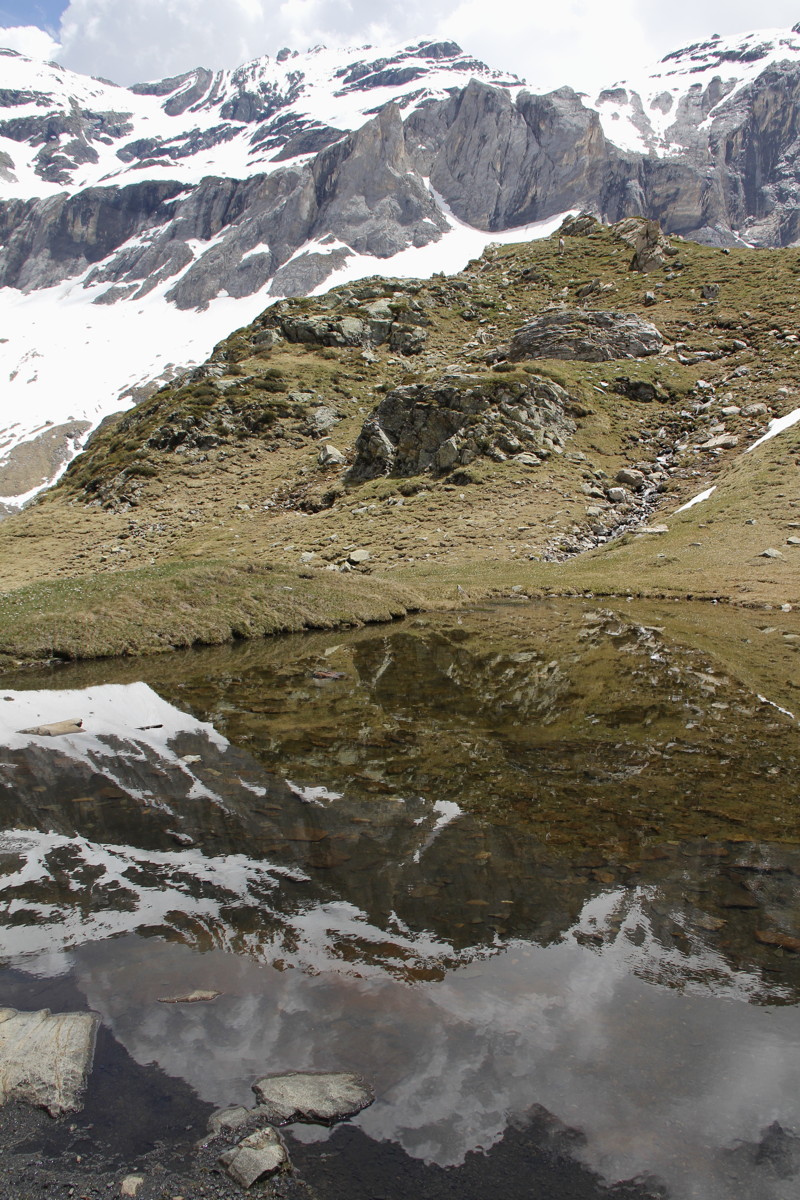
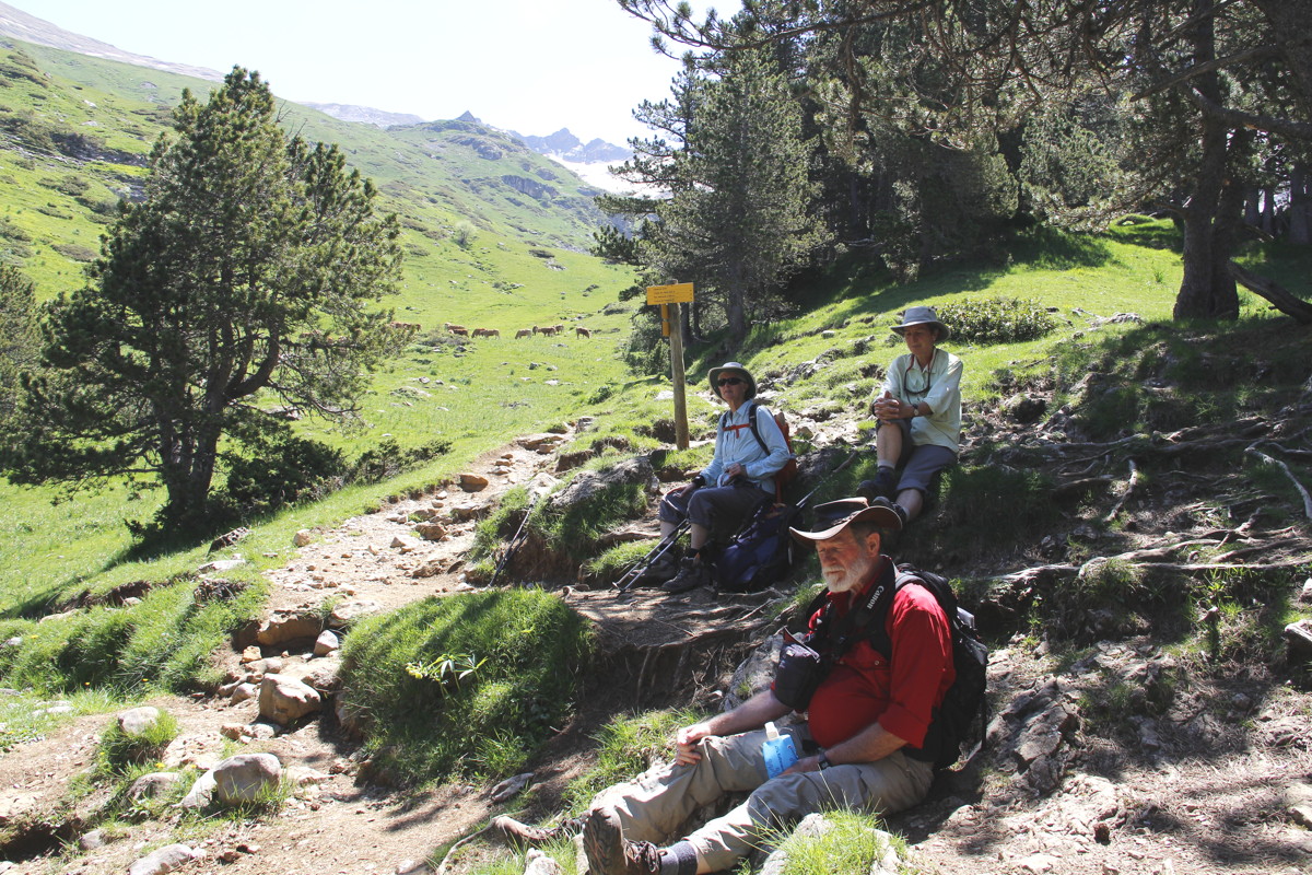
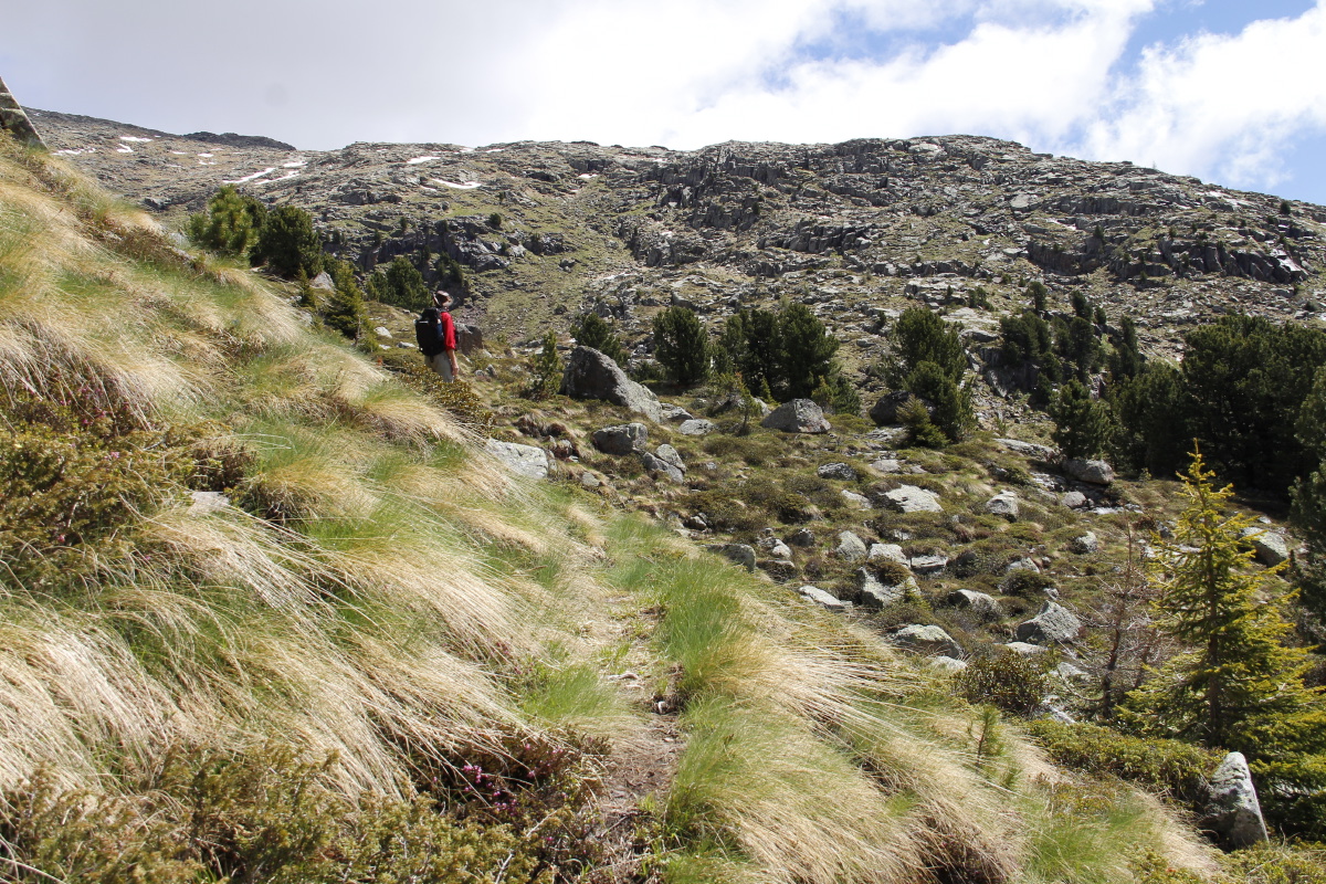
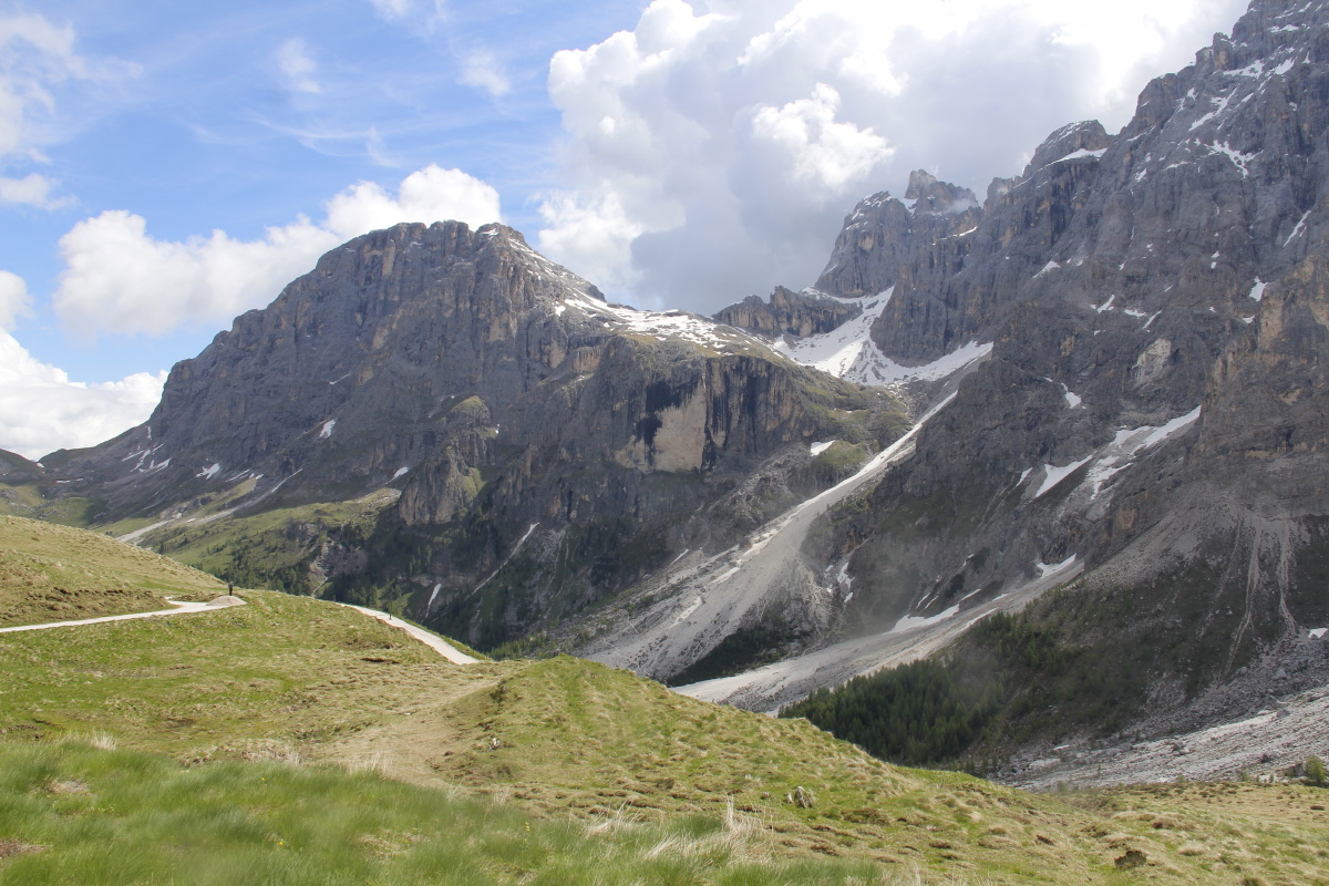
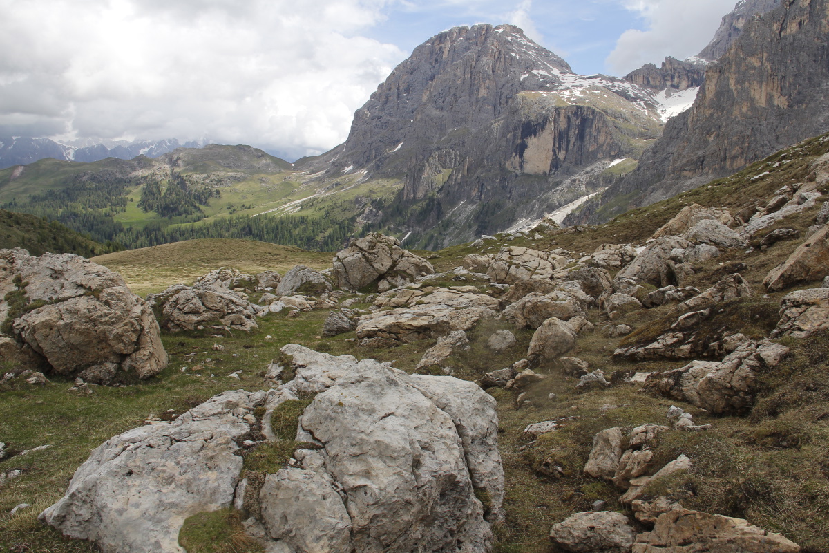
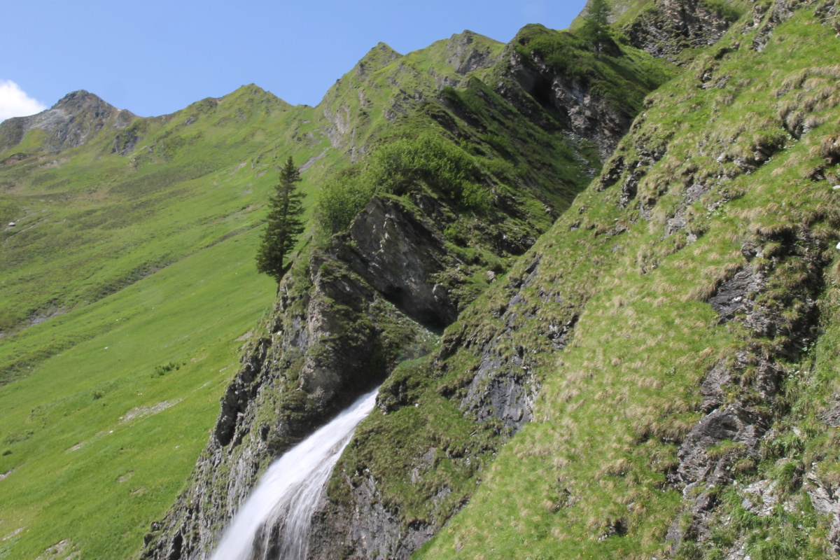
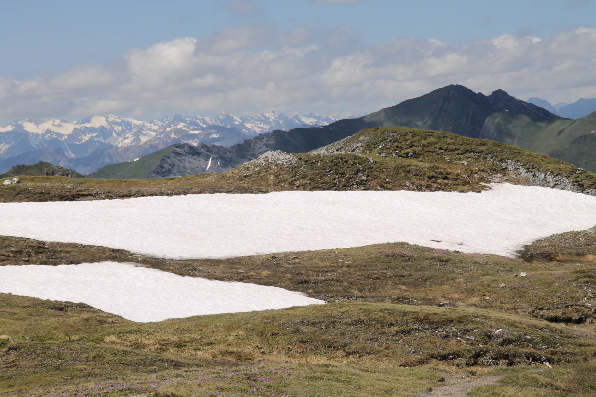
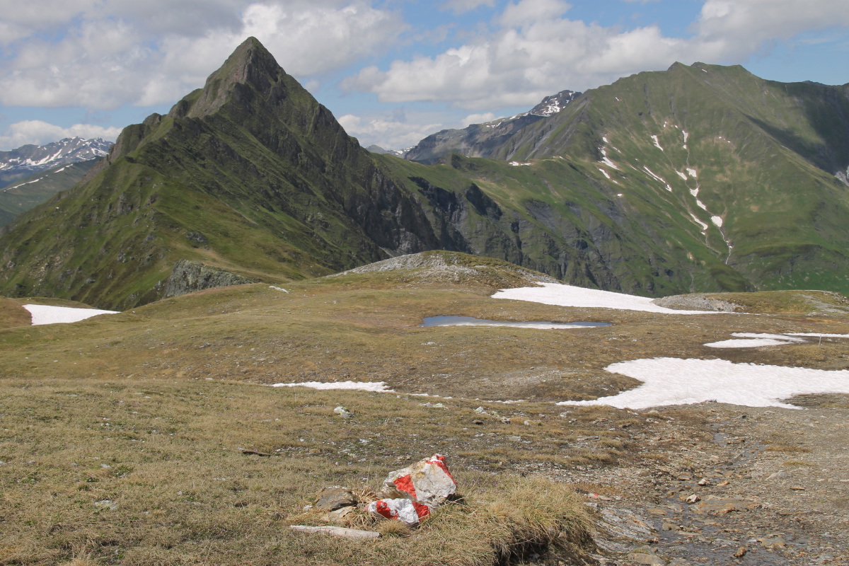
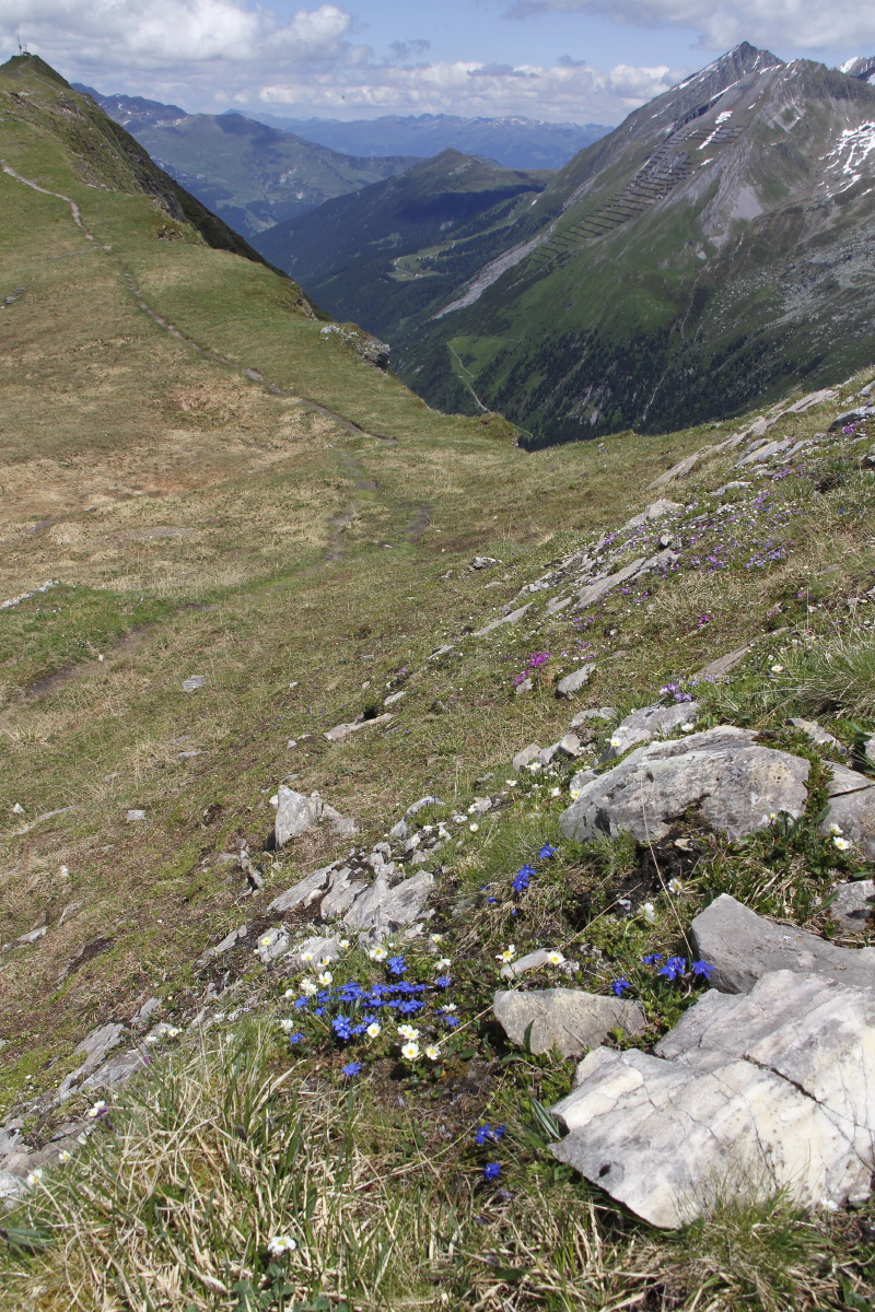
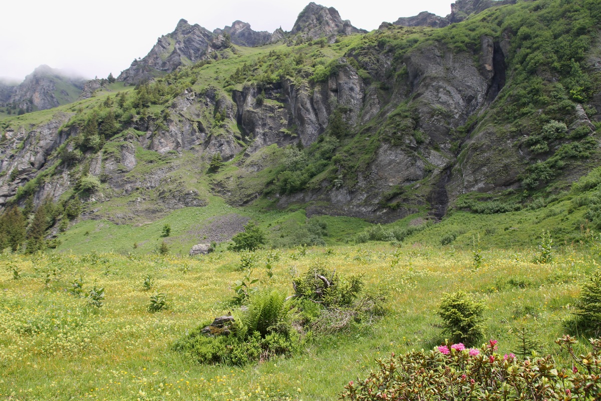
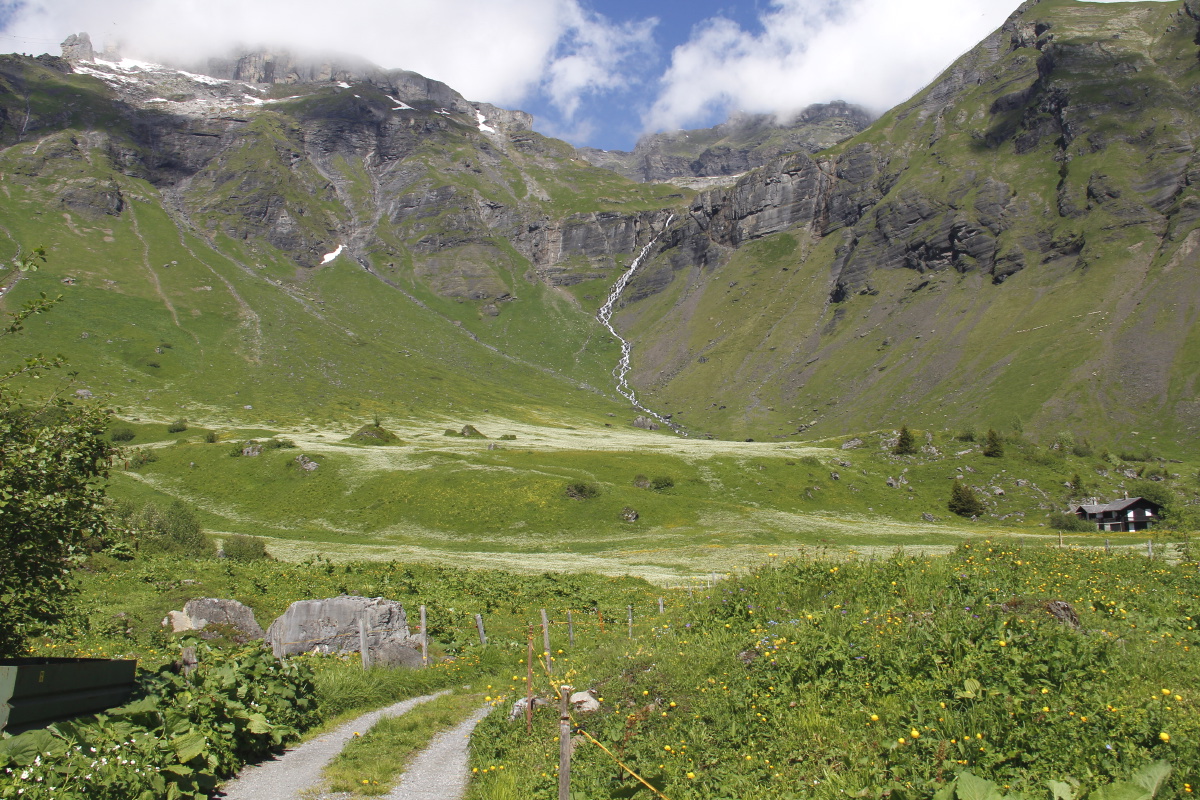
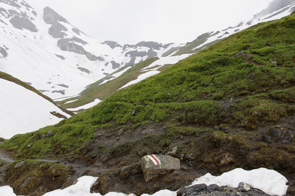
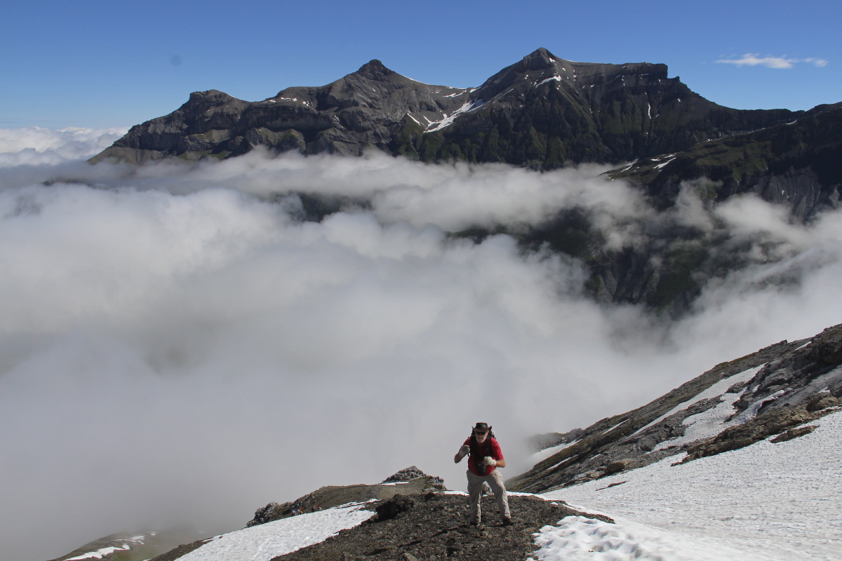
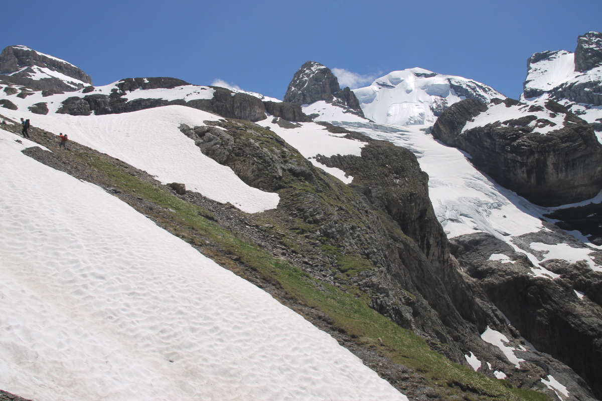
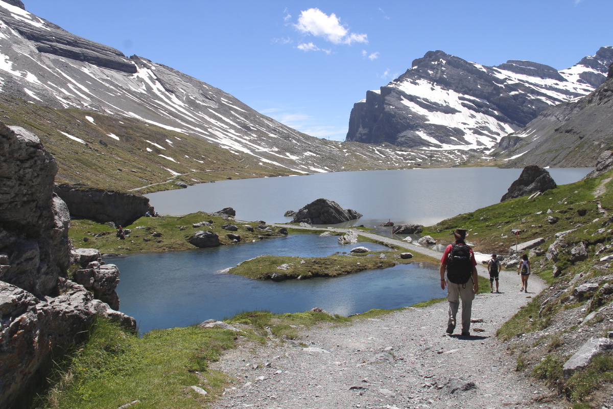
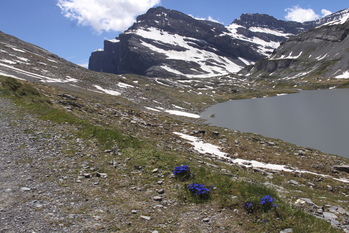
5. Cirque du Troumouse – 100m and 2km – Tue 7 Jun 2016
We drove as far as the car-park (at 2050m), then wandered further up to the remnant glacial lakes.
The rim is 10km long, and the opening at the northern edge is 2km wide |
|
|
|
|
|
|
Lunch |
Summer Visitors |
Lake |
Reflections |
|
|
|
|
Denizen 1 |
Denizen 2 |
Tarn |
Locals |
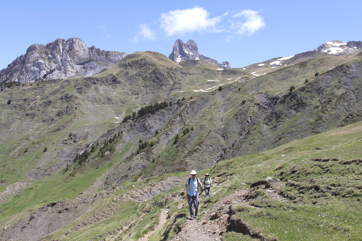
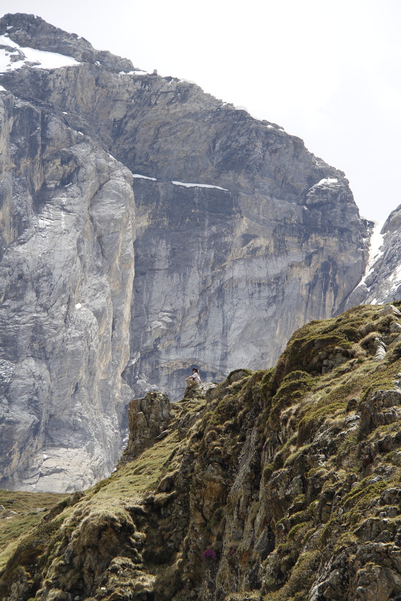
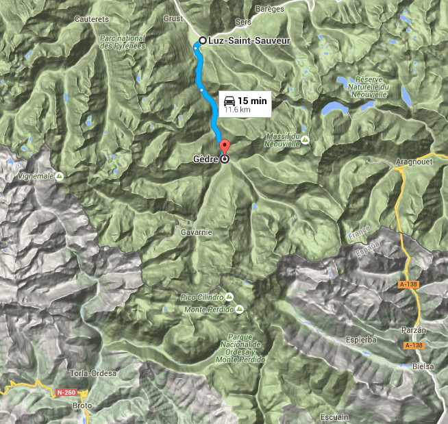
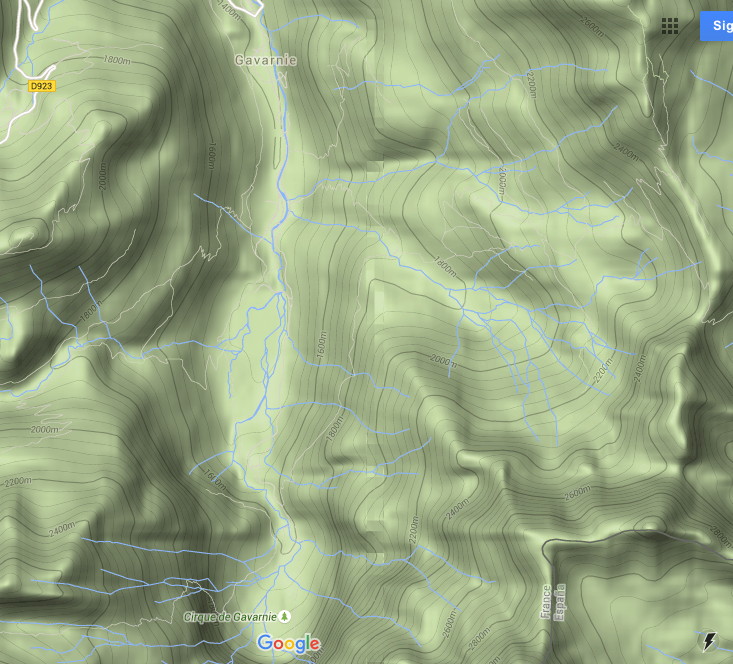
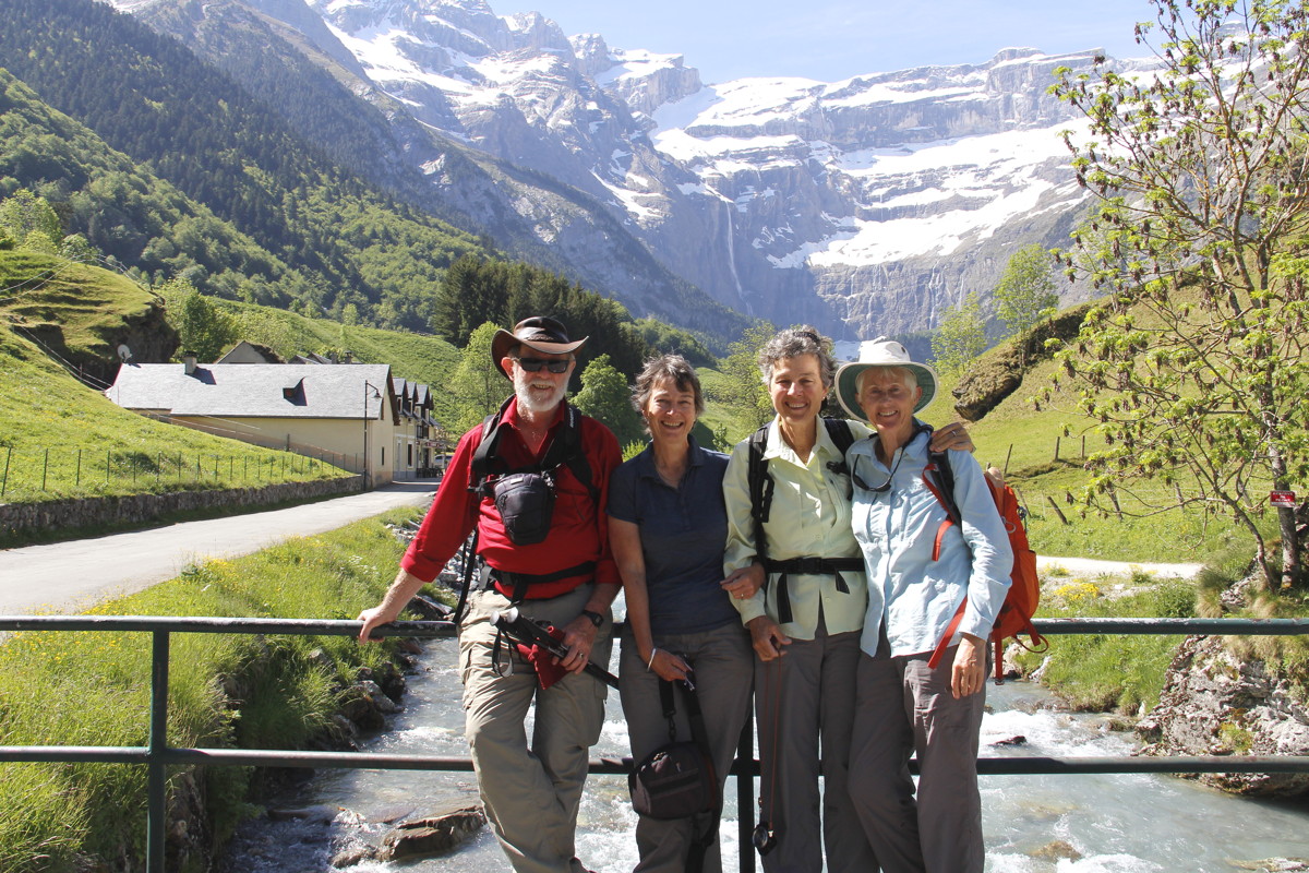
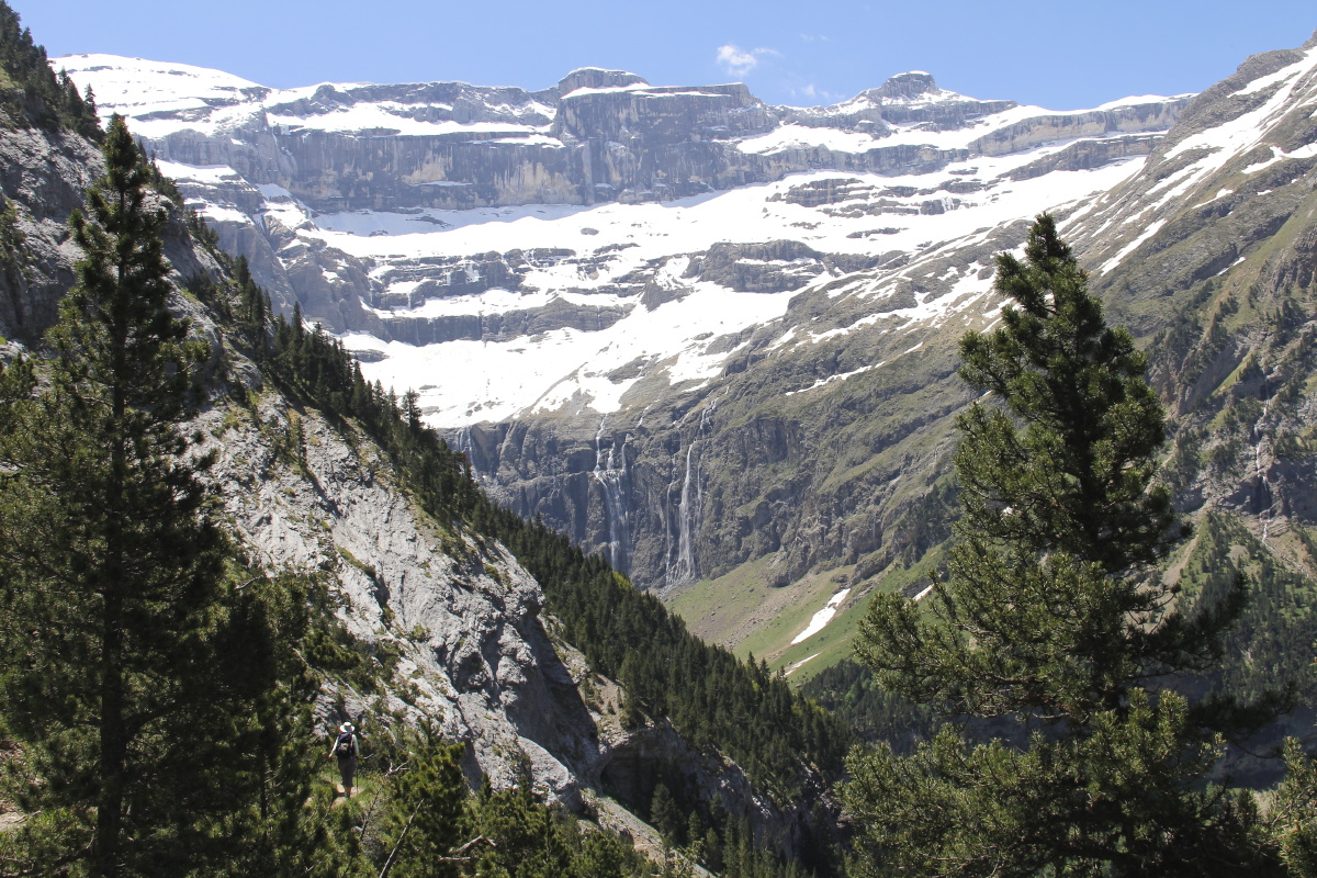
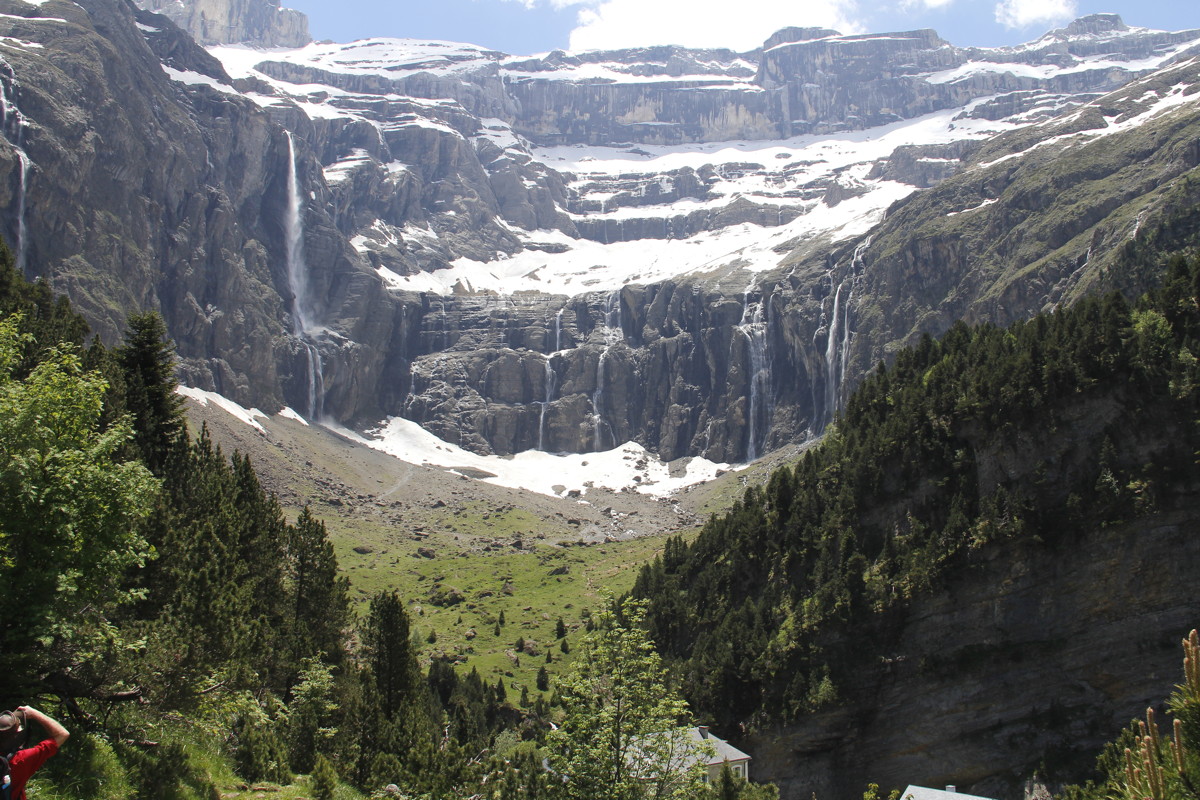
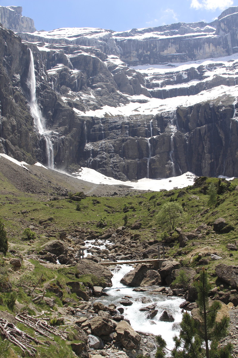
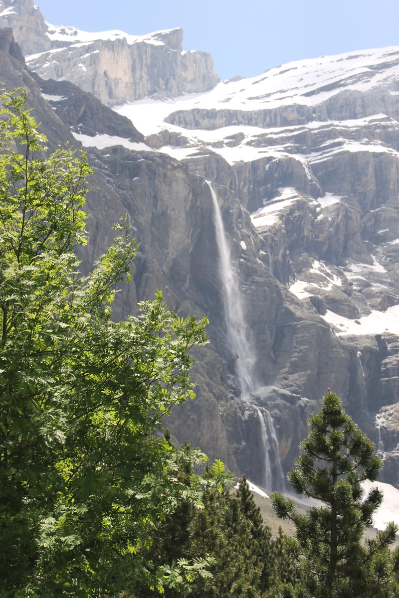
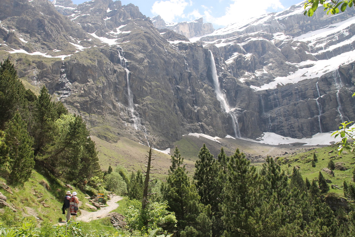
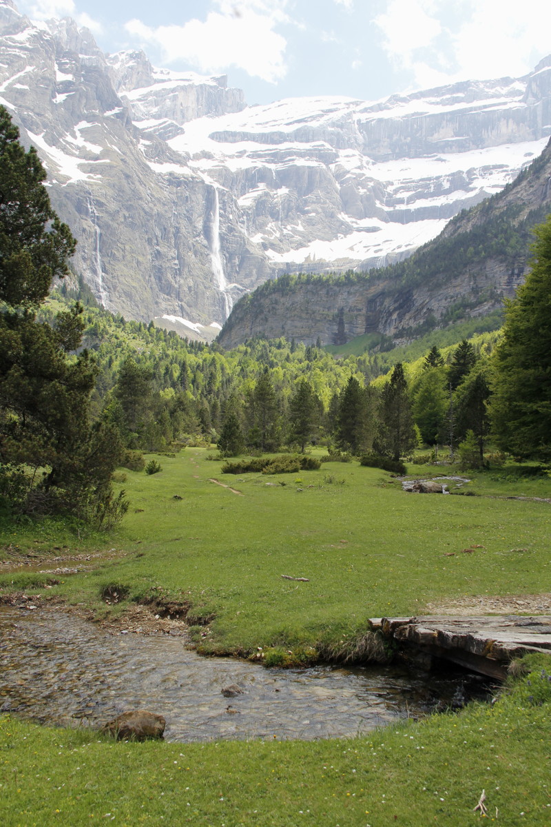
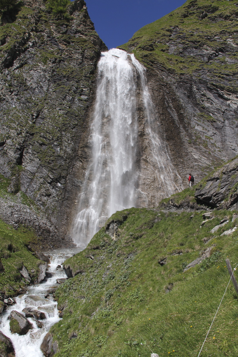
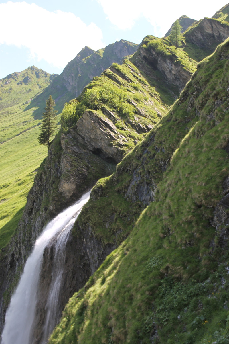
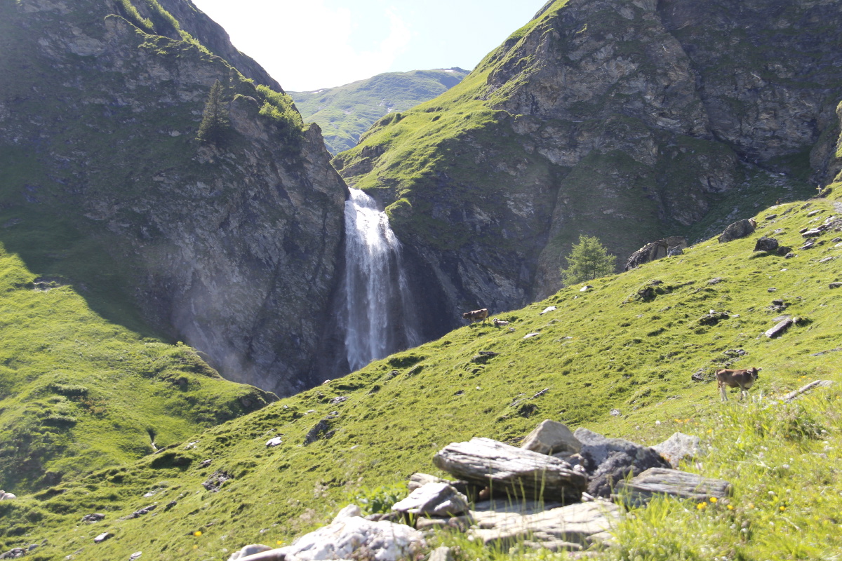
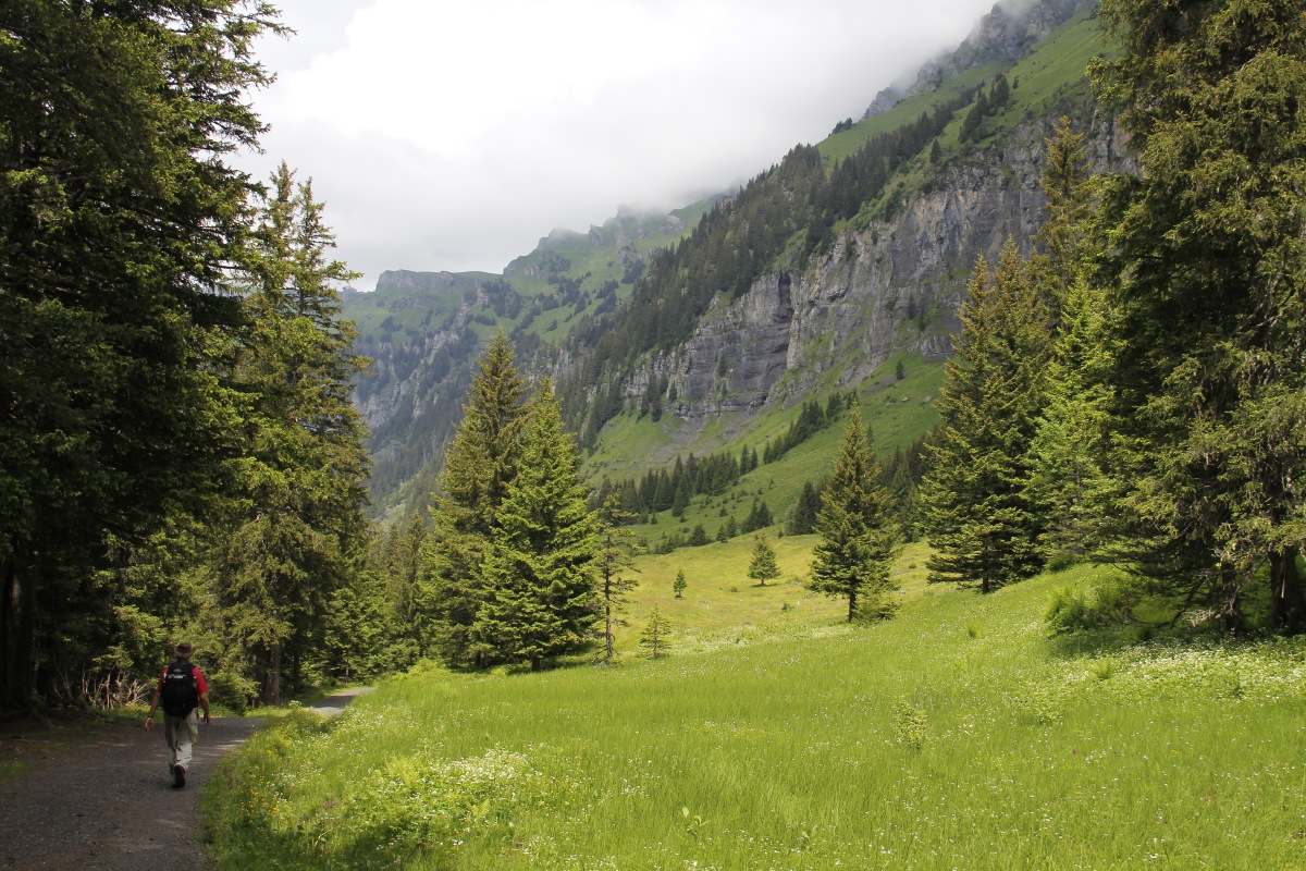
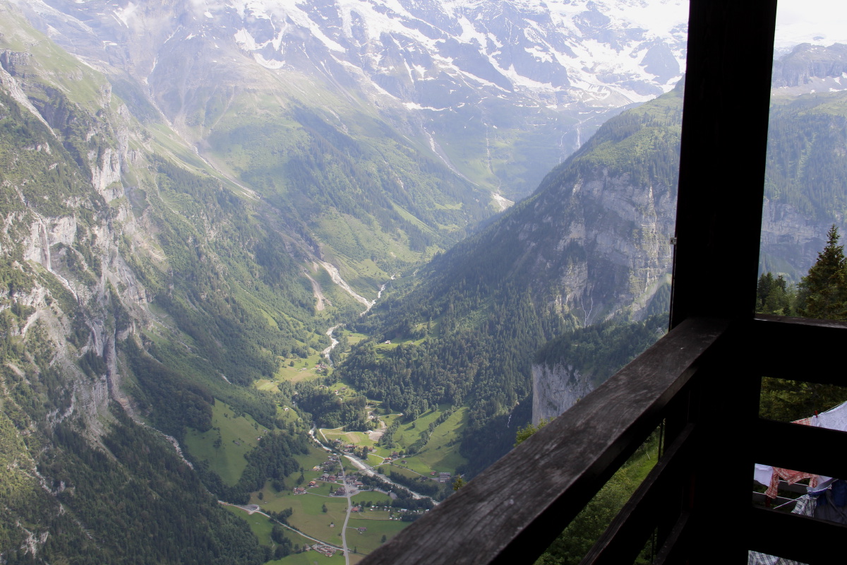
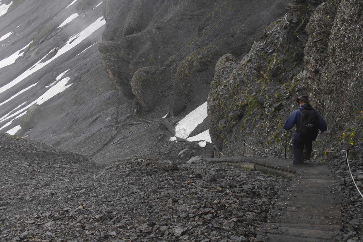
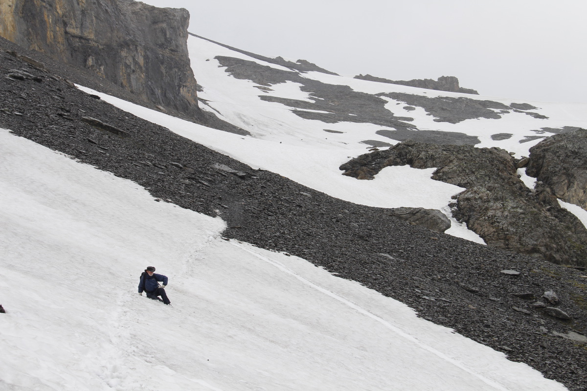
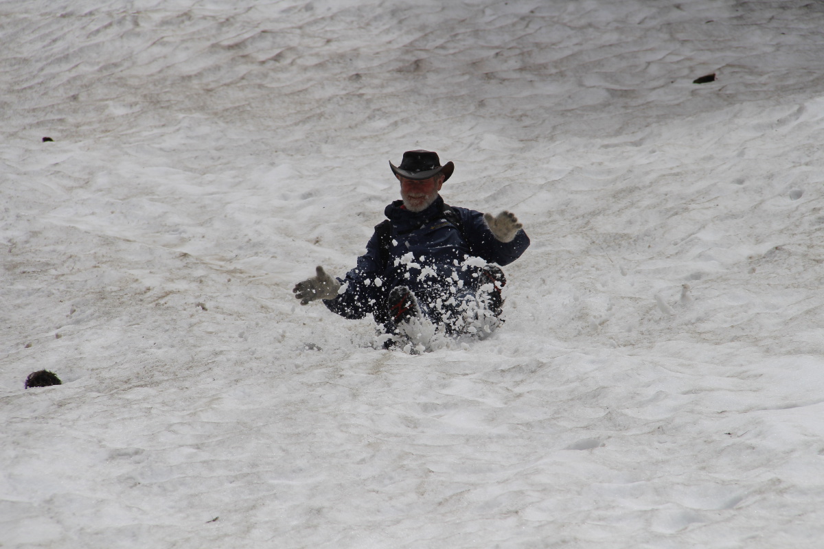
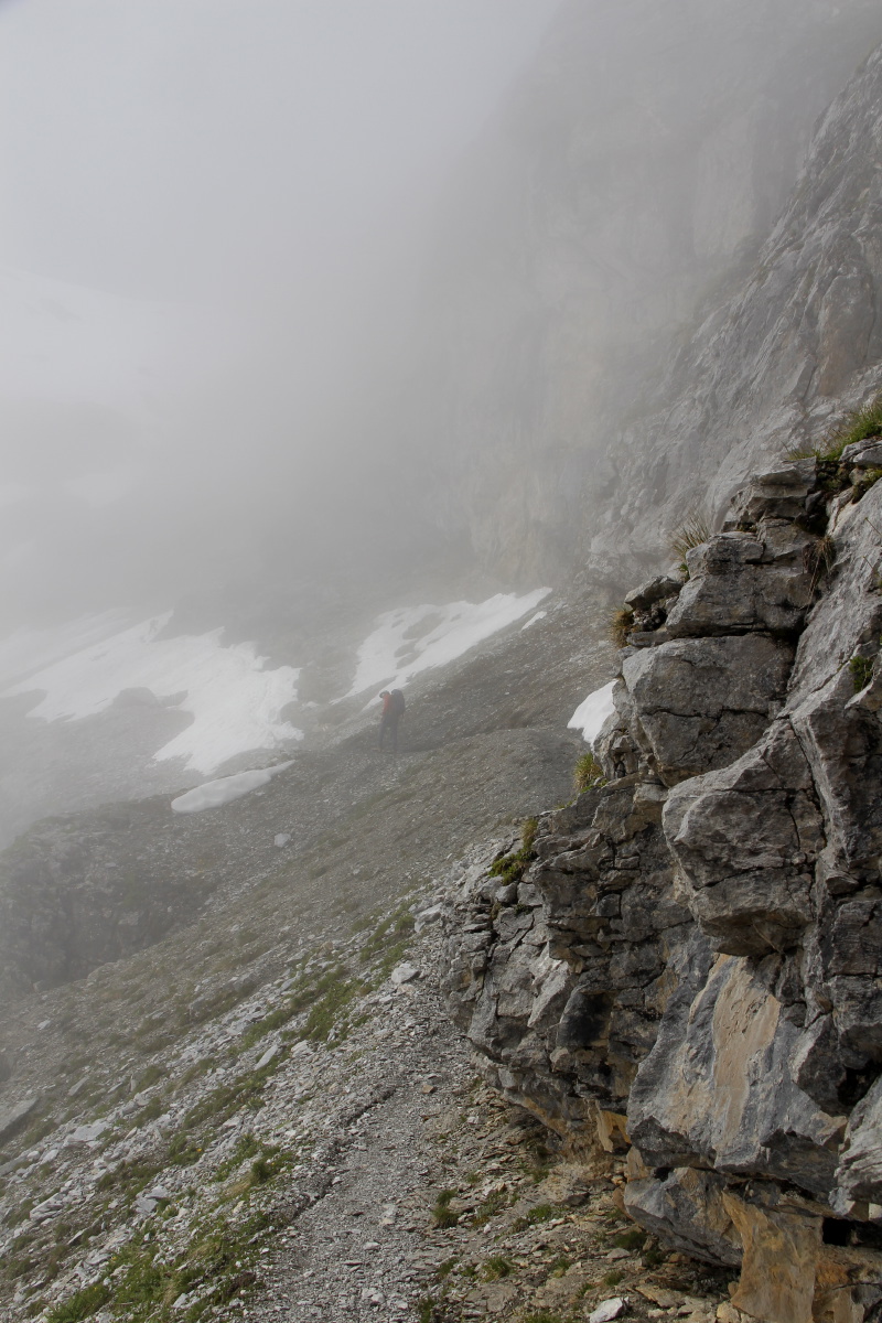
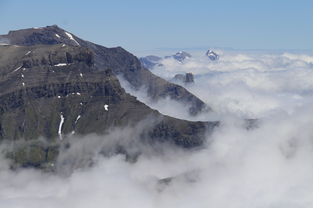
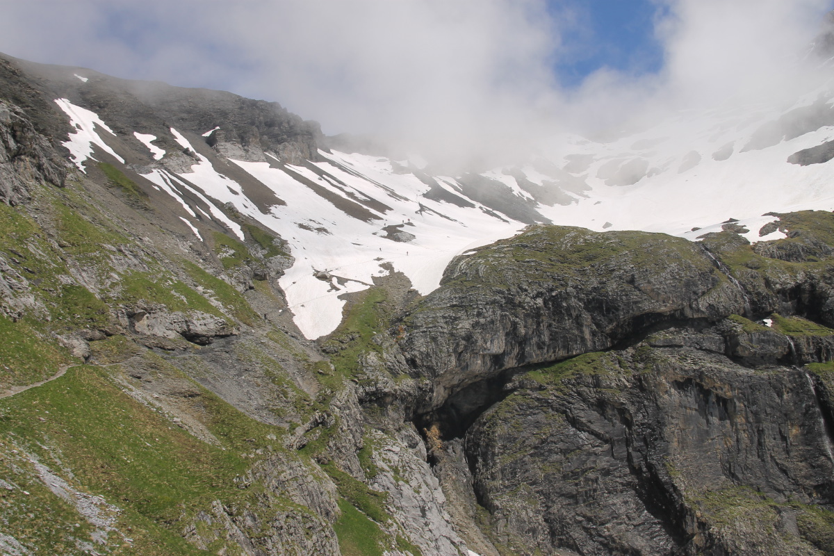
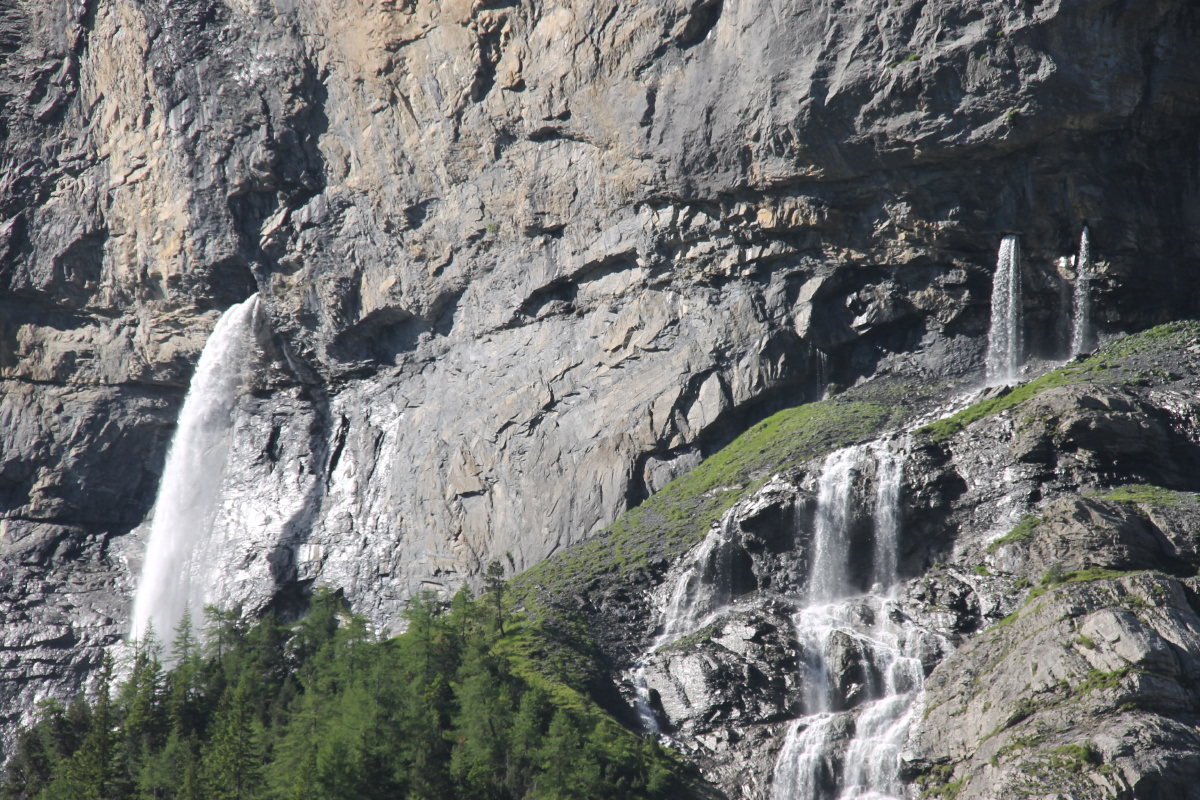
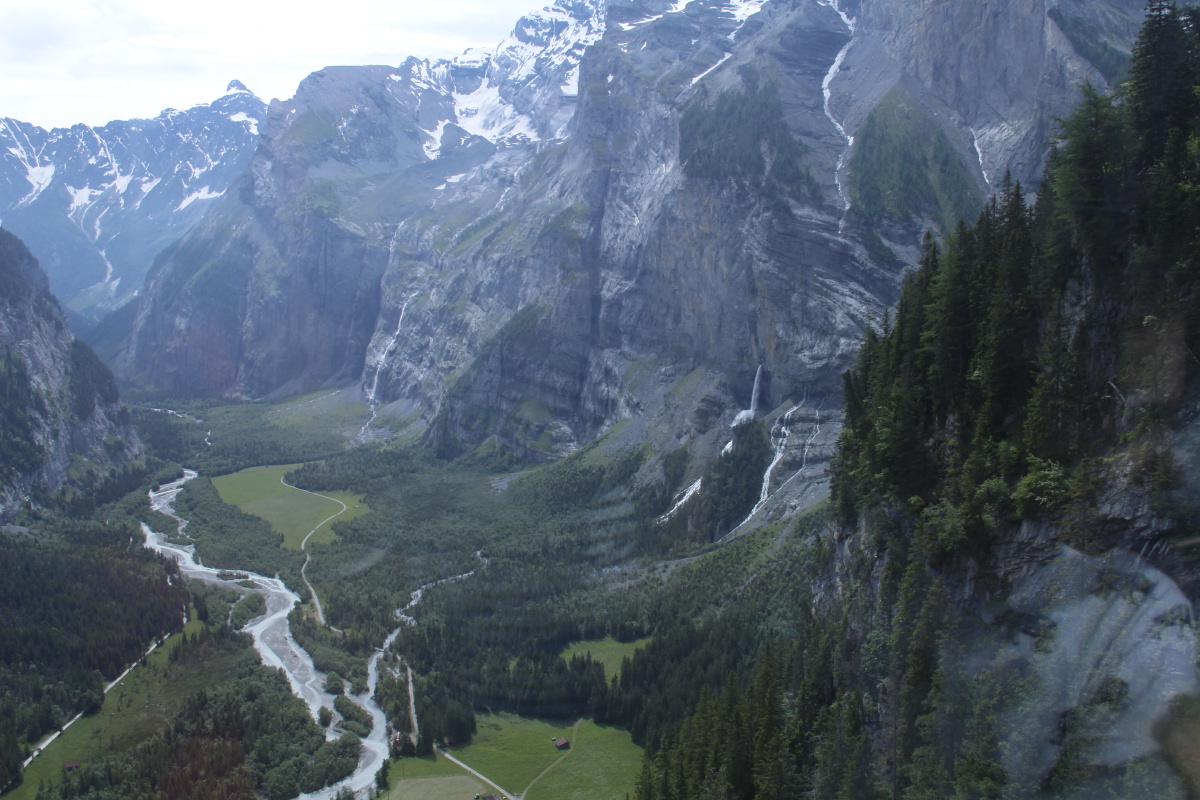
6. Gavarnie – 450m and 9km – Wed 7 Jun 2016
We climbed the eastern wall to get the mileage, the exhilaration (400 vertical metres in an hour,
because it's an unrelenting 1 in 4), but mainly because it provides access to the diagonal walk beneath
the rockwalls and a far better appreciation of the cirque that is the world's prettiest (Roger) and/or grandest (Linda).
| |
|
|
|
|
|
Setting out |
After the 400m climb |
Entering the overhang run
(A metaphor for the whole trip?) |
The cirque appears |
|
|
|
|
The cirque from above the hotel |
The eastern mountains |
The line of falls on the SE |
Europe's longest cascade |
|
|
|
|
437m, and striking from near ... |
... wide ... |
... and far |
Drinks on the way back |
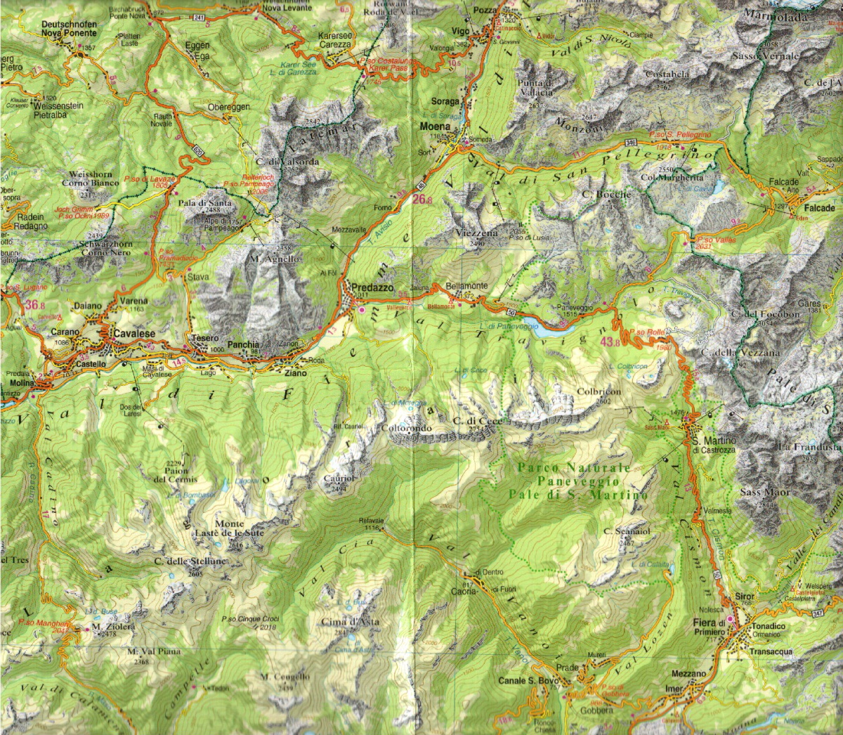
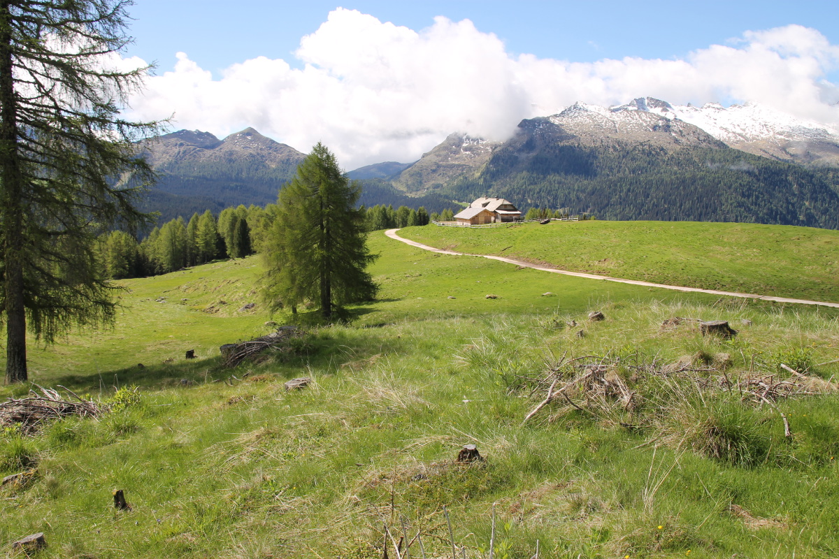
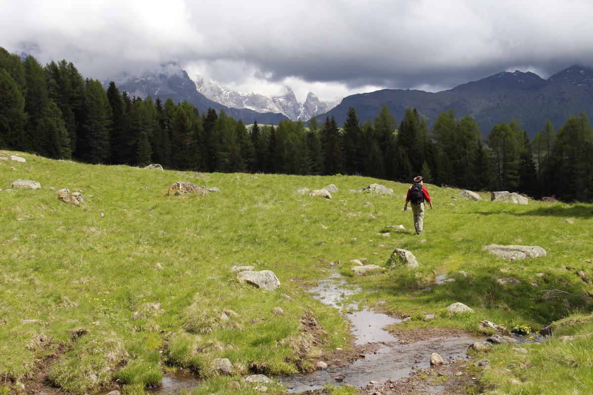
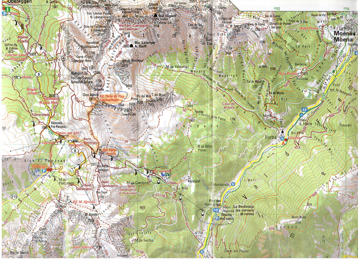
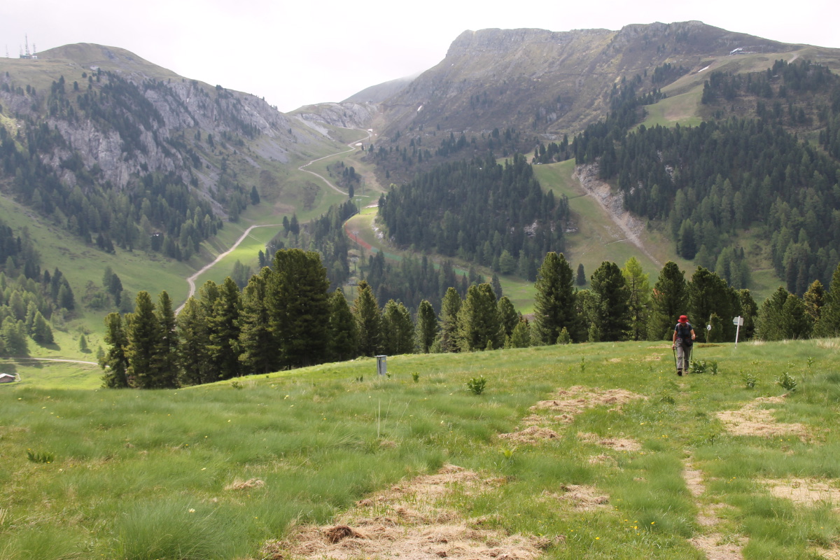
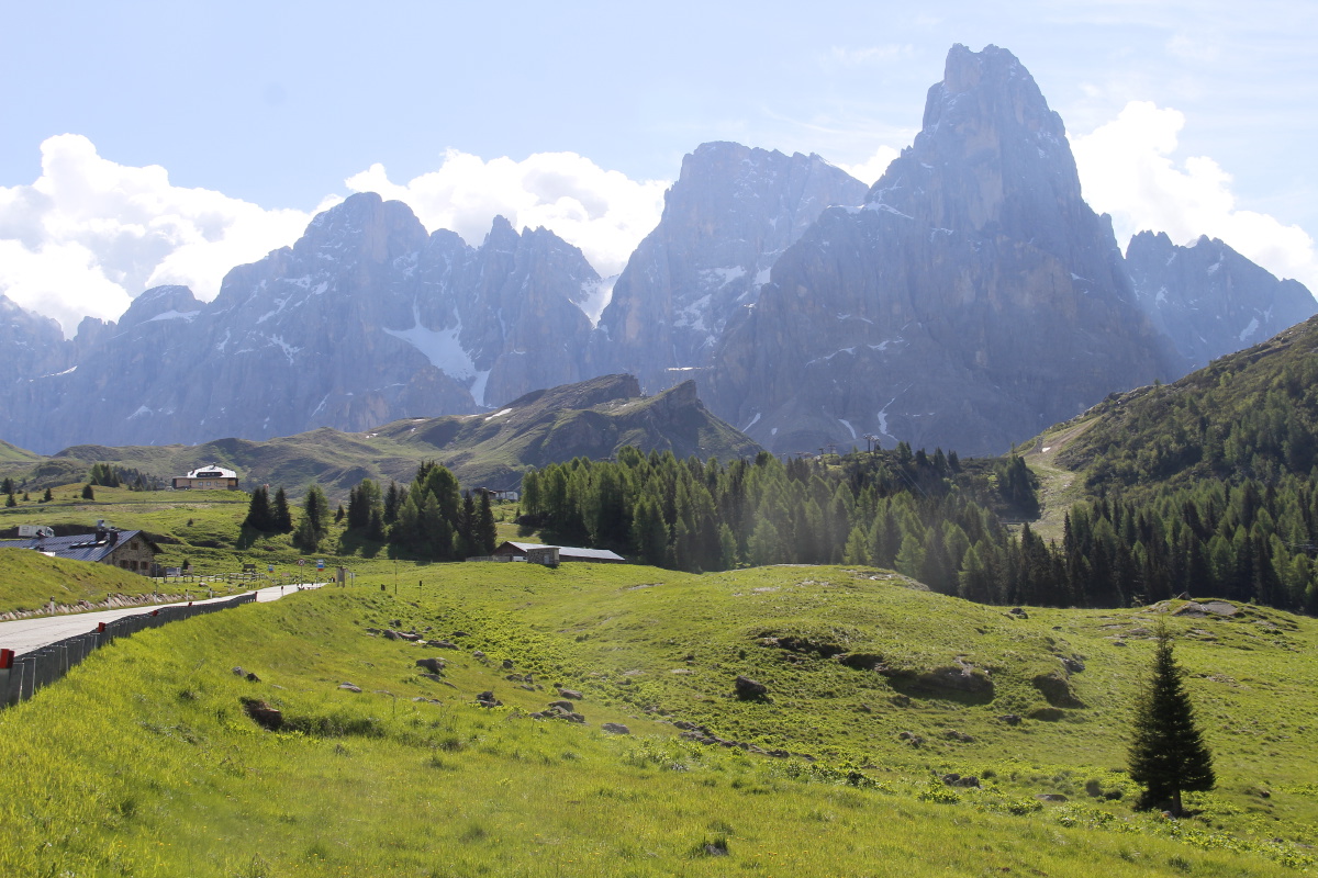
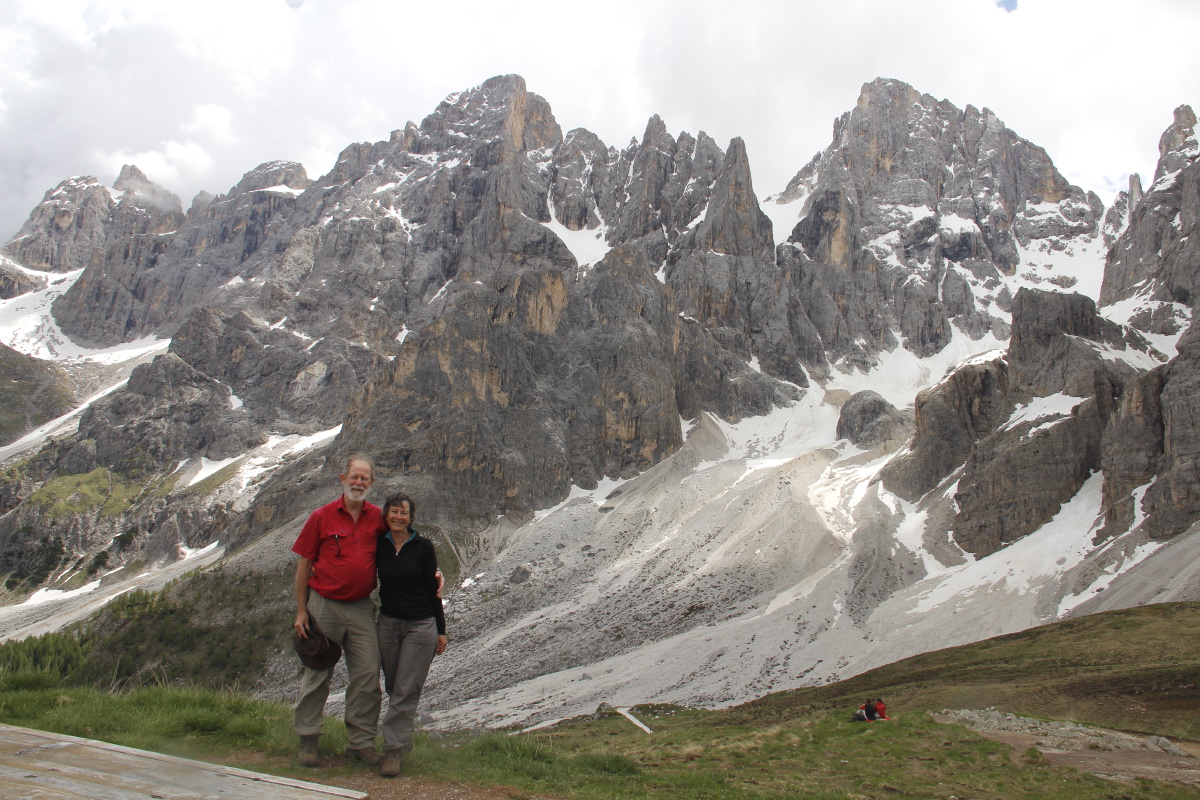
| This year we picked out the Val di Fiemme, SE of Bolzano and
S of Moena, staying in a hotel up the slopes East of Predazzo. That gave
us access to the San
Martino
massif and the Rollo, Valles and San Pellegrino passes in the East,
and to the Latemar massif in the NW.
| |
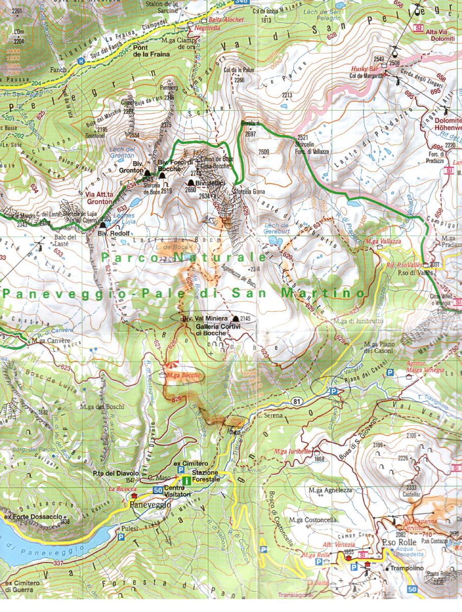
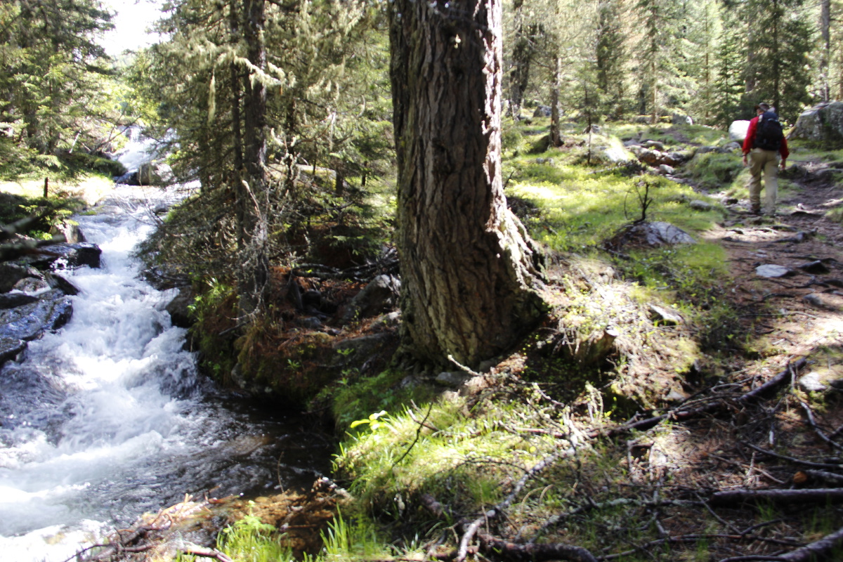
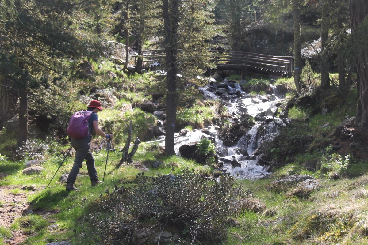
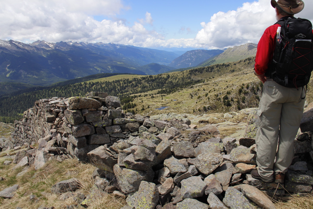
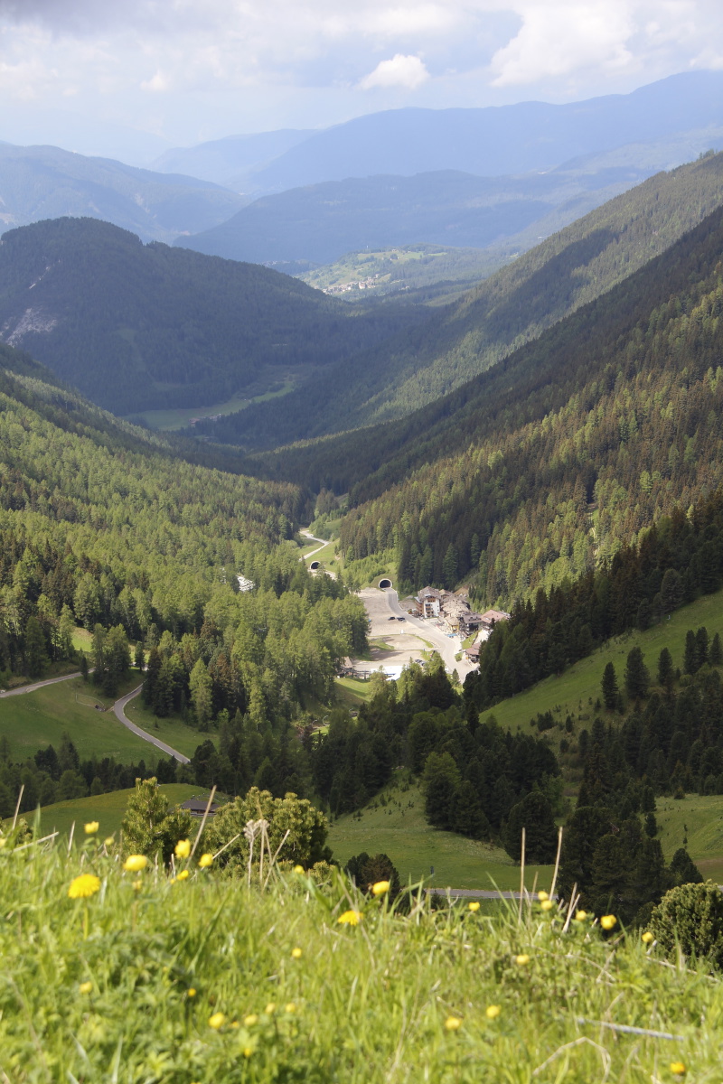
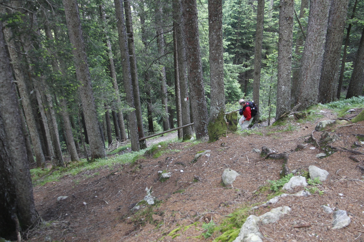
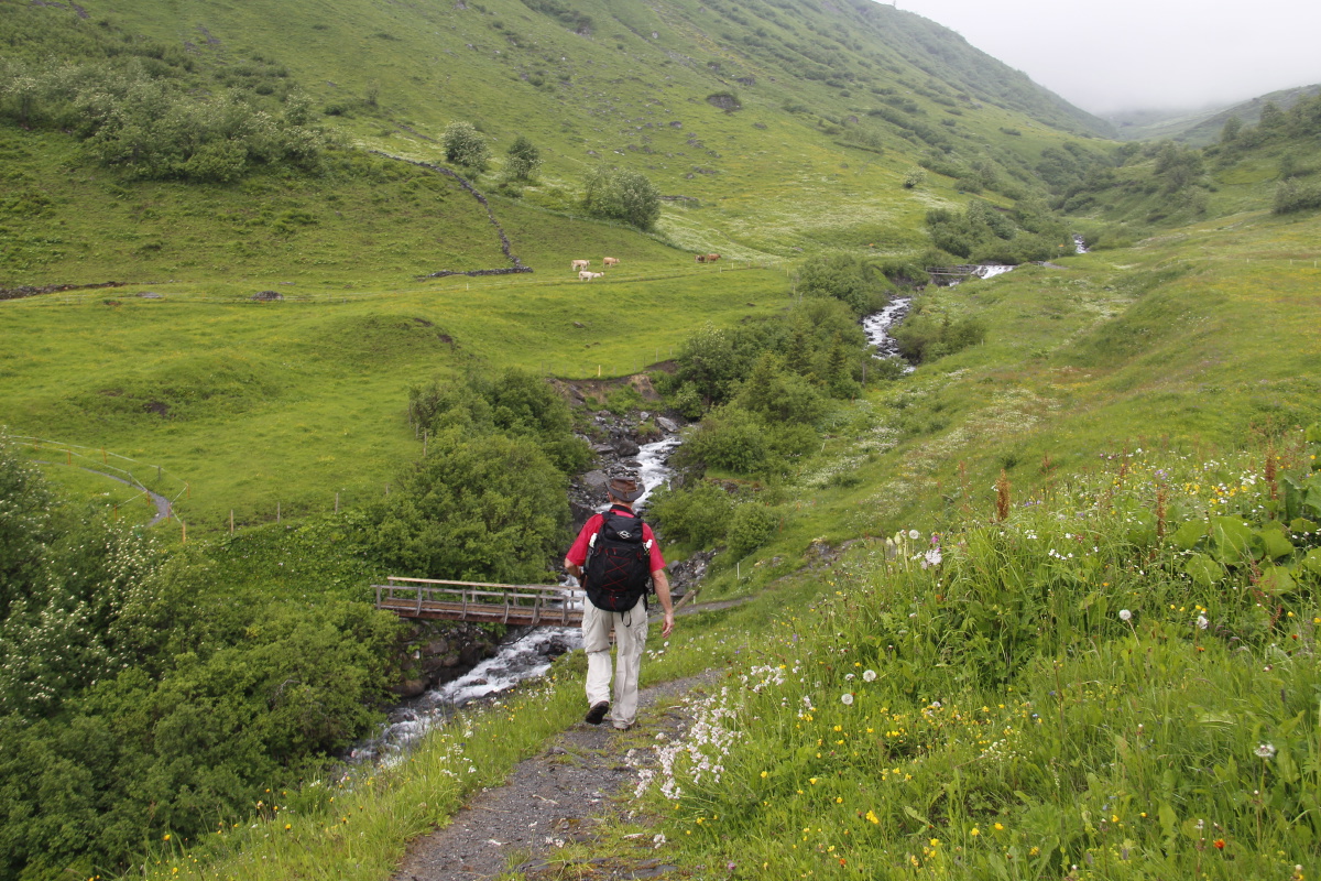
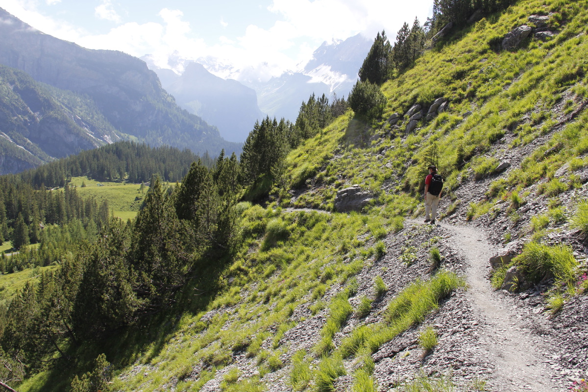
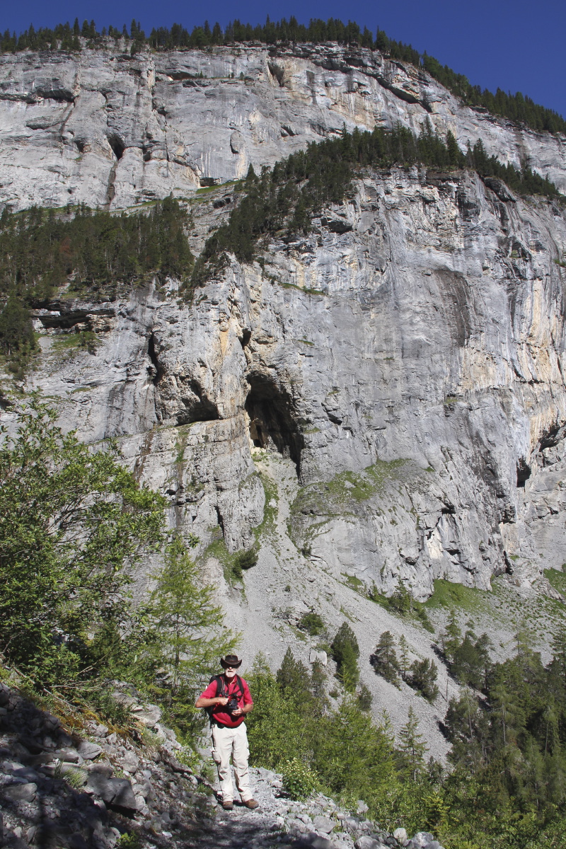
7. Boce – 900m and 14km – Wed 15 Jun
2016
E of Predazzo, with 300m of forest, 300m through mixed
forest and alpine meadows to a lake, and 300m of rock – the
perfect mix! (Okay, there was a bit too much cloud for perfect photos,
but it was still pretty decent). At the recommendation of Hotel Zaluna, we started
at 1640m, along path 626 up the Rio Boce to Lago de Boce,
then on up the ridge to the junction with path 629 at 2550m. The views are
mostly to the South at the range that includes the Cima di Cece at 2700m,
but partly to the East and SE at the very striking Pale di San Martino,
which includes a number of thrusting peaks either side of 3000m.
| |
|
|
|
|
The forest segment |
Into the meadows,
looking SE to San Martino |
San Martino's main
peak, telephoto'd |
Malga Boce
(= alpine dairy) |
|
|
|
|
Bridge in the
second forest segment |
Transition from meadows
to rocks and trenches |
Lago di Boce |
Rio Boce, back
down our track |
|
|
|
|
Up the ridge right (E)
of the lake, looking
back to Malga Boce |
Around the
2300m mark |
1915 trenches in
remarkable repair ... |
... with views SW
towards Predazzo |
|
|
|
|
Atop, cold, windy
and threatening |
View eastwards
to Russell and
Karen's walk ... |
... and detail |
Back down through
the trenches |
|
|
|
|
Dull light on
Lago di Boce ... |
... but still
photogenic |
Back down the Rio |
Still patchy,
still threatening |
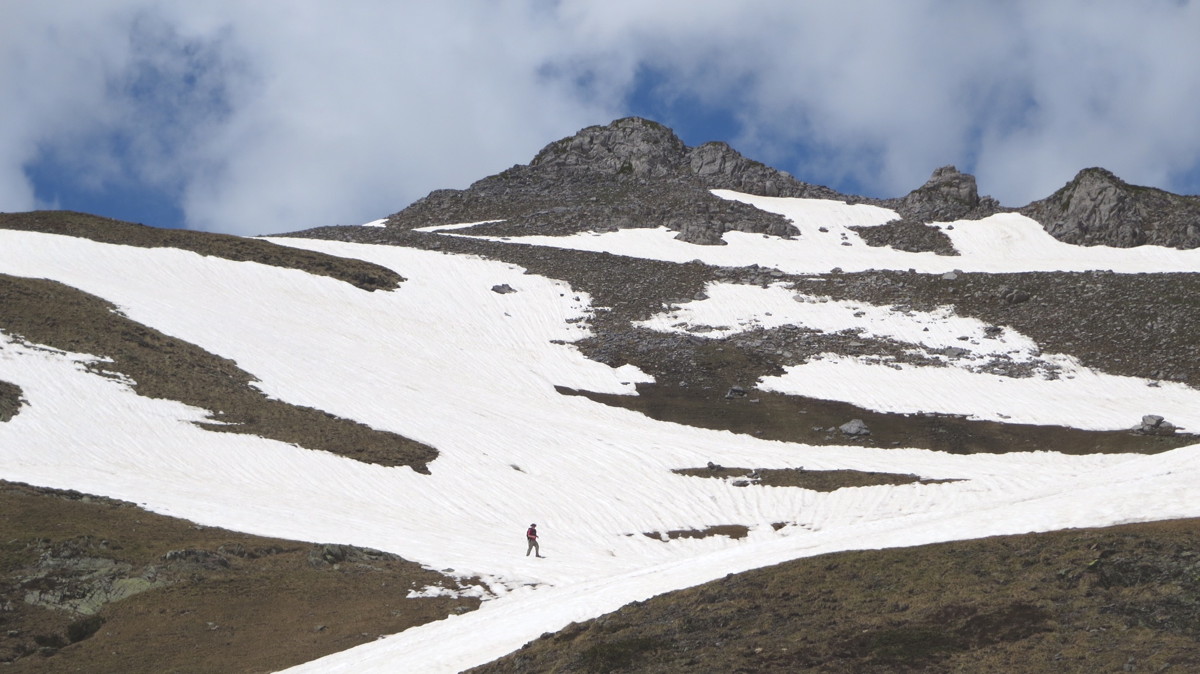
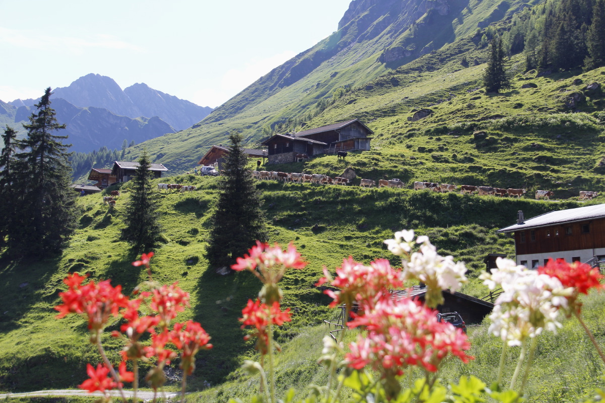
8. San Pellegrino – 260m and 4km – Thu
16 Jun 2016
A brief warm-down, fitted in between driving up a cloudy Passo Rollo in the morning and catching up with Bob and Lucia in Penia and watching England v. Wales in the afternoon. The 260m up a ski-field access path took 33 minutes - much better than the 300m per hr we've been averaging. It was the first 40% of a walk we did some years ago.
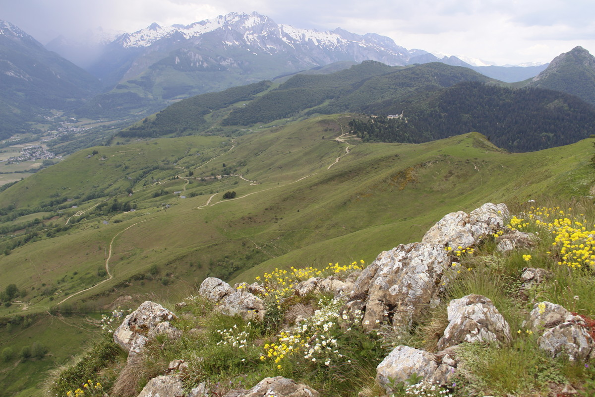
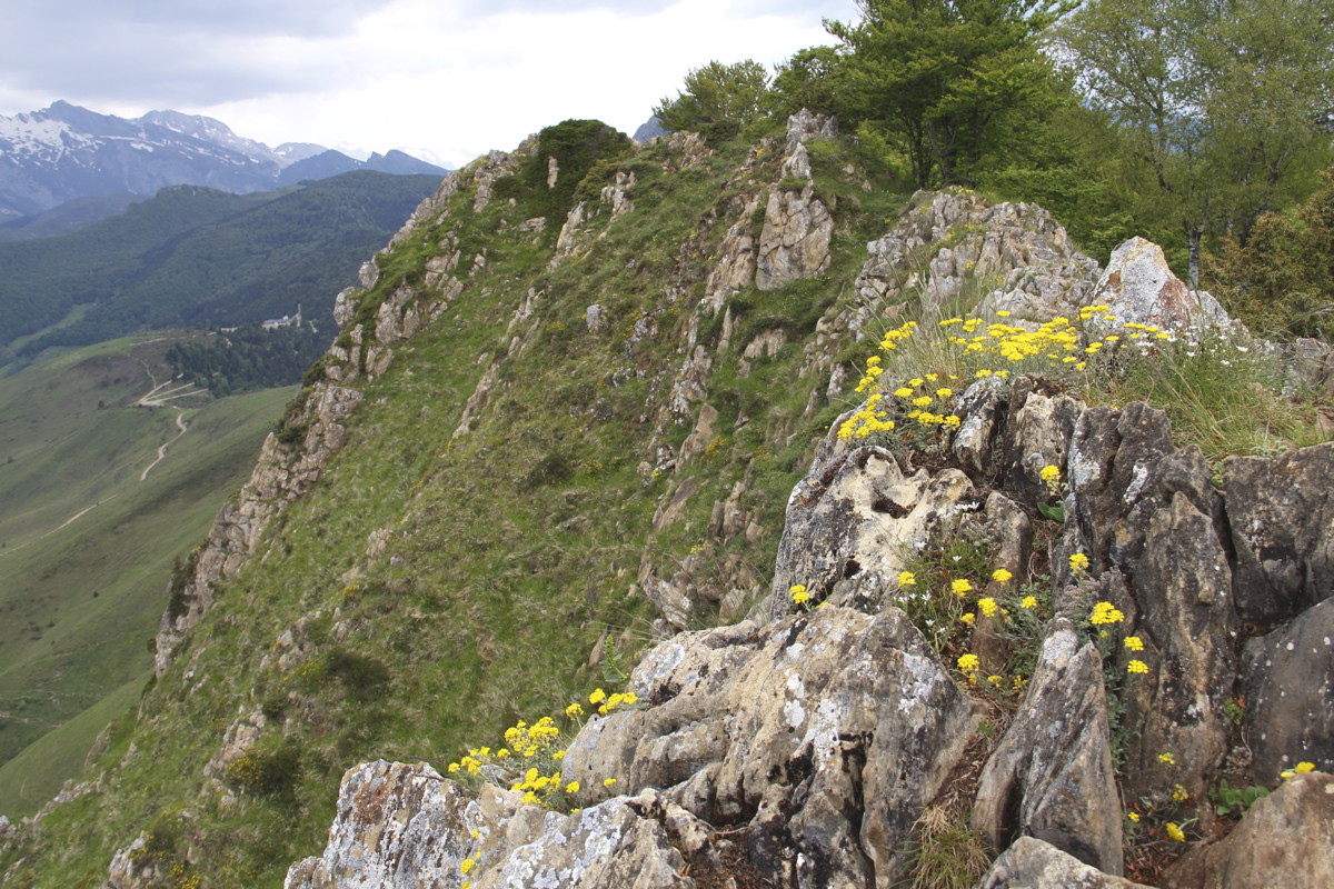
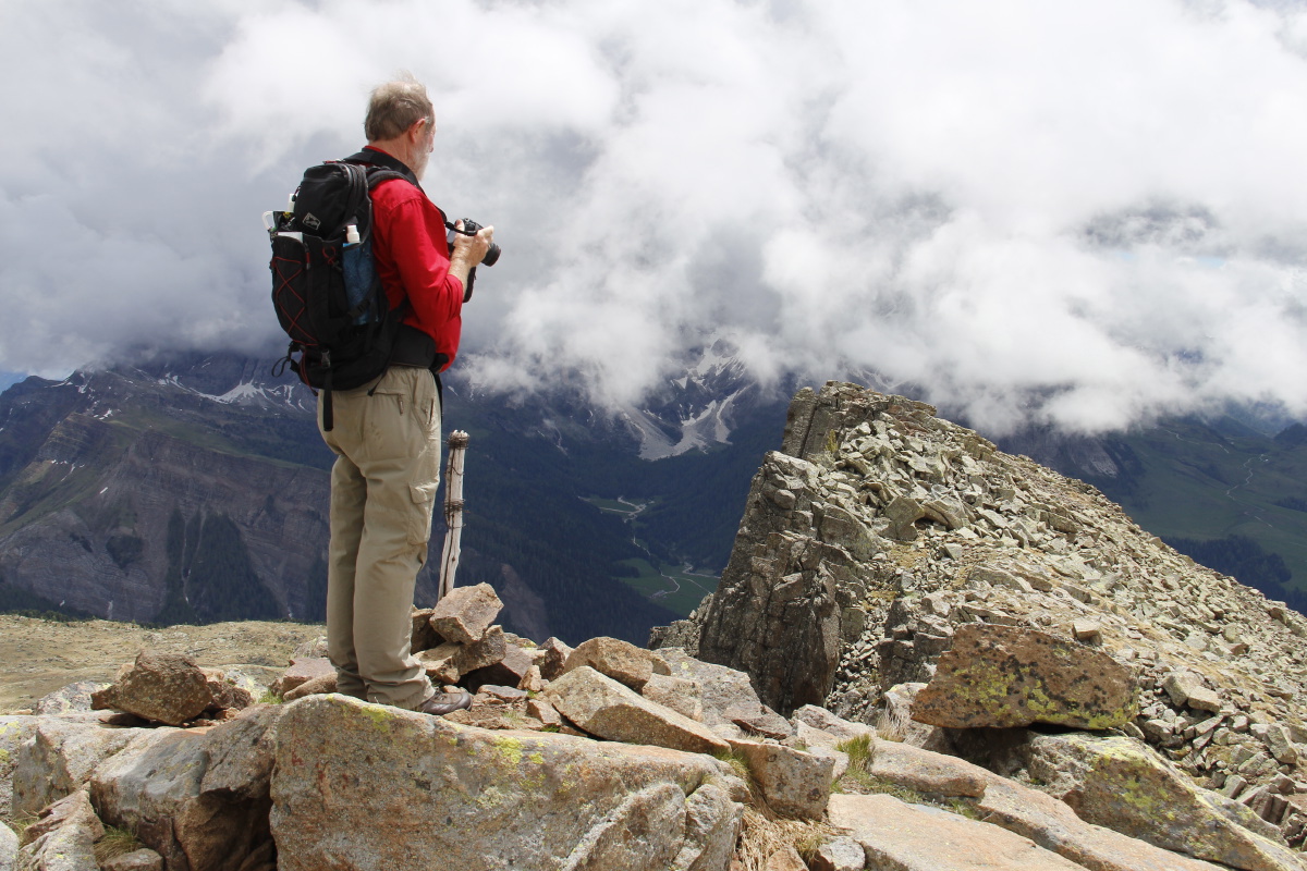
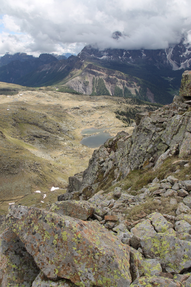
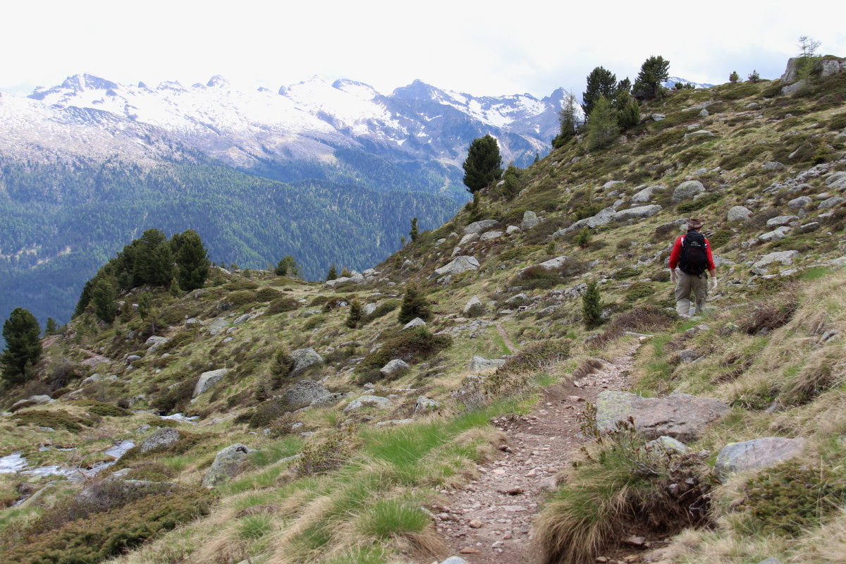
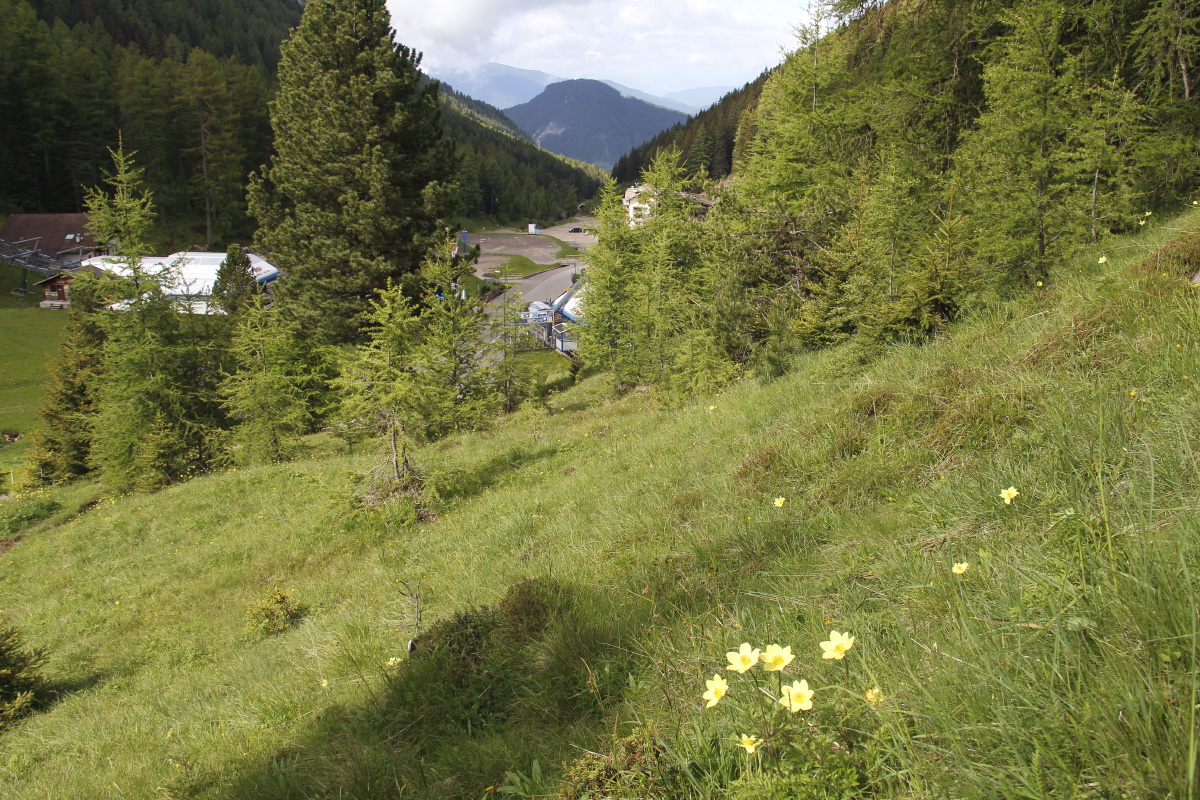
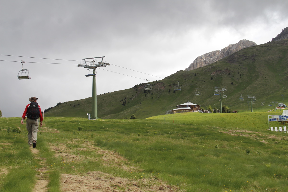
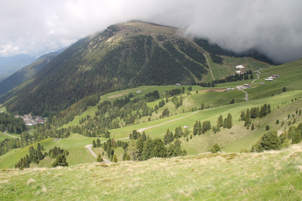
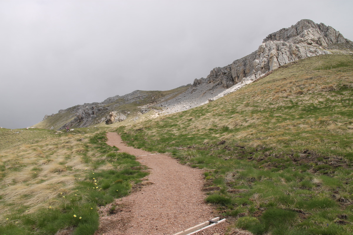
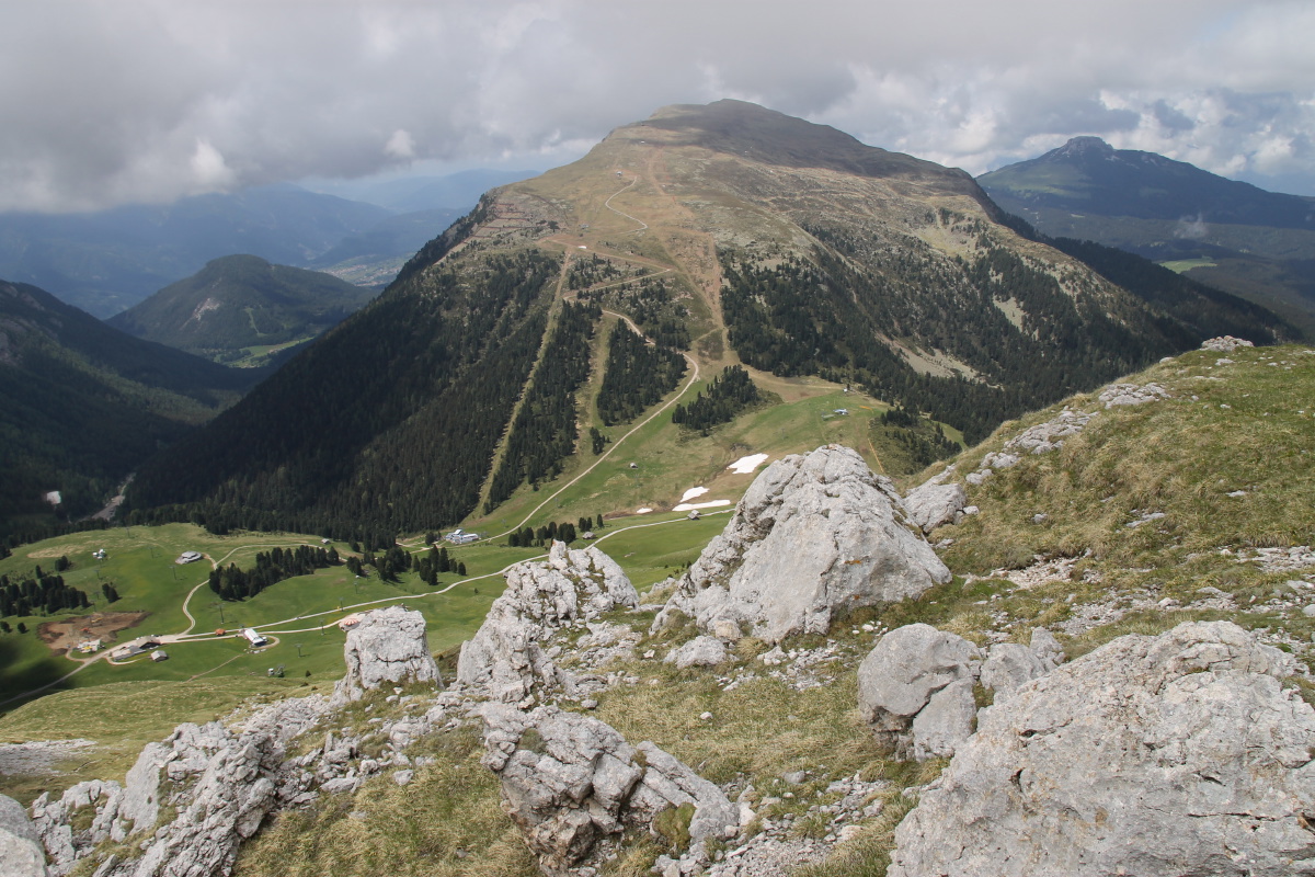
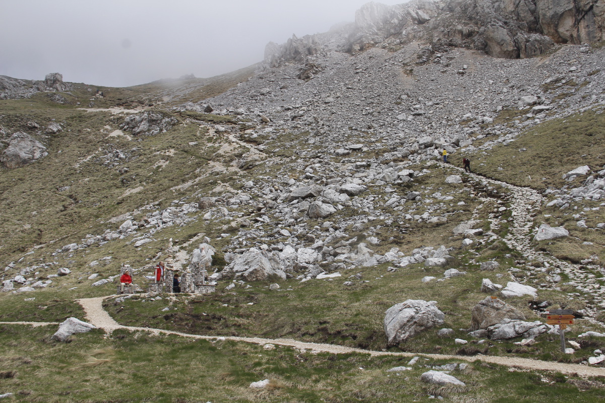
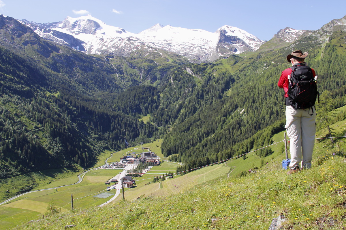
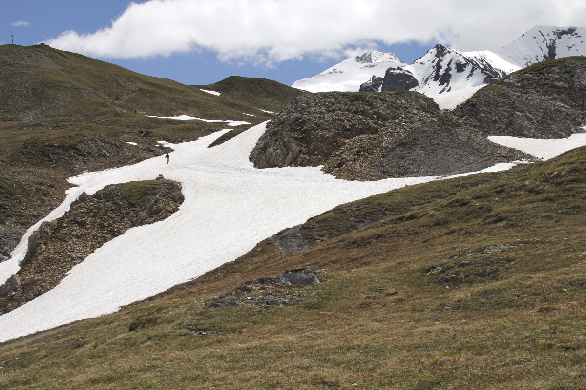
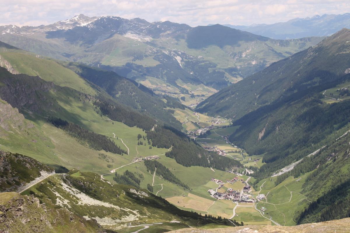
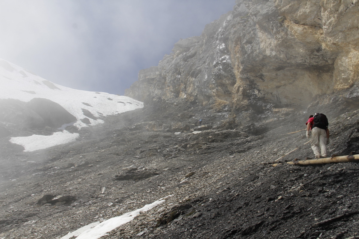
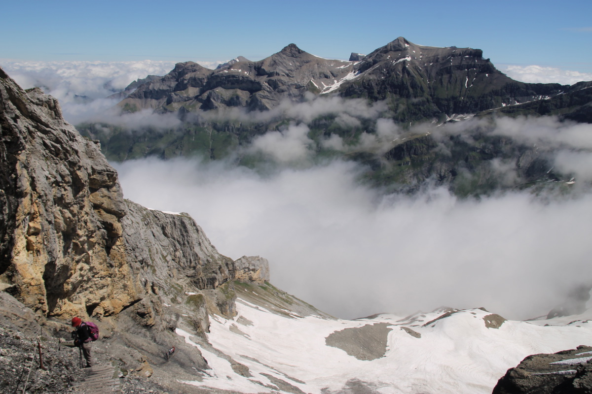
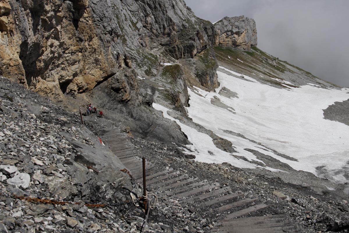
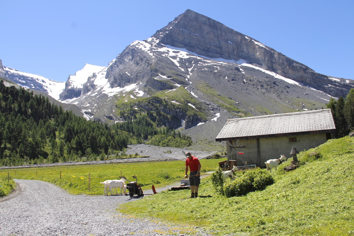
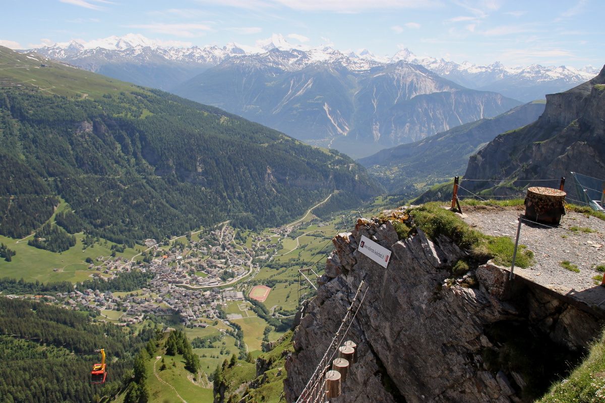
9. Rifugio Torre de Pisa – 925m and 9km – Fri
17 Jun 2016
| On the recommendation of Bob and Lucia in Penia, we drove
to Pampeago (1750m ), and walked up 200m of forest, 350m of alpine
meadows
/ ski-field
and Passo
Feudo, and
370m
of
rock, to a
viewing-point high in
the
Latemar
group at 2675m, with 360-degree views. And the cloud cleared for us when we
needed it! The first 450m we did in an hour, the remaining 470m in 1h40m, i.e.
little better than half the rate. The return involved only 1h40m. It's a very
popular walk, with lifts from two valleys up to the 2200m level, and the path
was well-made almost throughout. But it was very steep – 925m
in 4.5km is an average of 1 in 5 (some 1 in 1, much 1 in 2 to 1 in 4).
| |
|
|
|
|
The Start-Point
at Pampeago |
Preferring forest
to chairlift |
Up to meadows ... |
... and a ski-field |
|
|
|
|
A first view back
to the start ... |
... and again |
The path above Fuedo,
at top-centre |
And back to the start |
|
|
|
|
The upper path begins |
A first glimpse
of the Rifugio |
The path and
the crags ... |
... and an
alternative view |
|
|
|
|
The beginning of ... |
... the serious walk |
The wall |
Wallflowers |
|
|
|
|
An illustration of
the verticality |
Another check that
the car's still there |
What we came for:
the Torre di Pisa |
Immediately to the
left, looking WSW |
|
|
|
|
To the East,
Boe/Pordoi left,
Marmolade right |
Marmolade, highest
point of the Dolomites |
The rest of Latemar,
to the North ... |
... with visitors |
|
|
|
|
With better visibility,
the view back up ... |
... and the crags |
Predazzo left, our
half-way point right |
The path down |
10. Baita Segantini – 250m and 5km – Sat
18 Jun 2016
A stroll E of the Passo Rollo and beneath the San Martino group, at 2000-2250m,
specifically to check out a flower area recommended in one of Linda's books.
It began sunny, but gradually clouded over,
and we were entertained by snow-showers around lunch-time.
|
|
|
|
Driving towards the pass |
Boots on a
short distance above it |
Southern end of
the San Martino group |
Cima della Vezzana |
|
|
|
|
The northern end |
Further left,
with the alp |
Happy strollers |
Summer snow-shower on
funnelled limestone |
Czech Republic
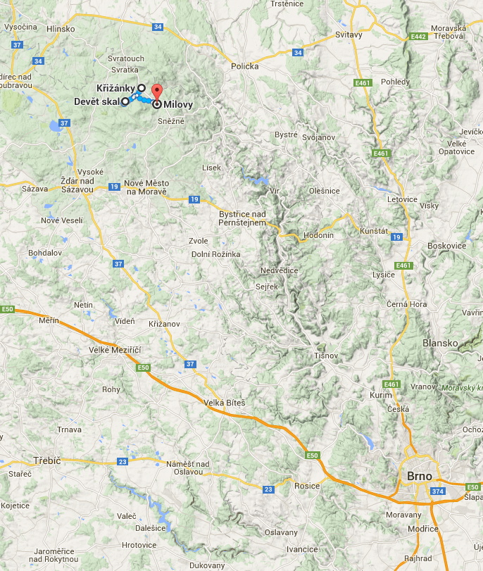
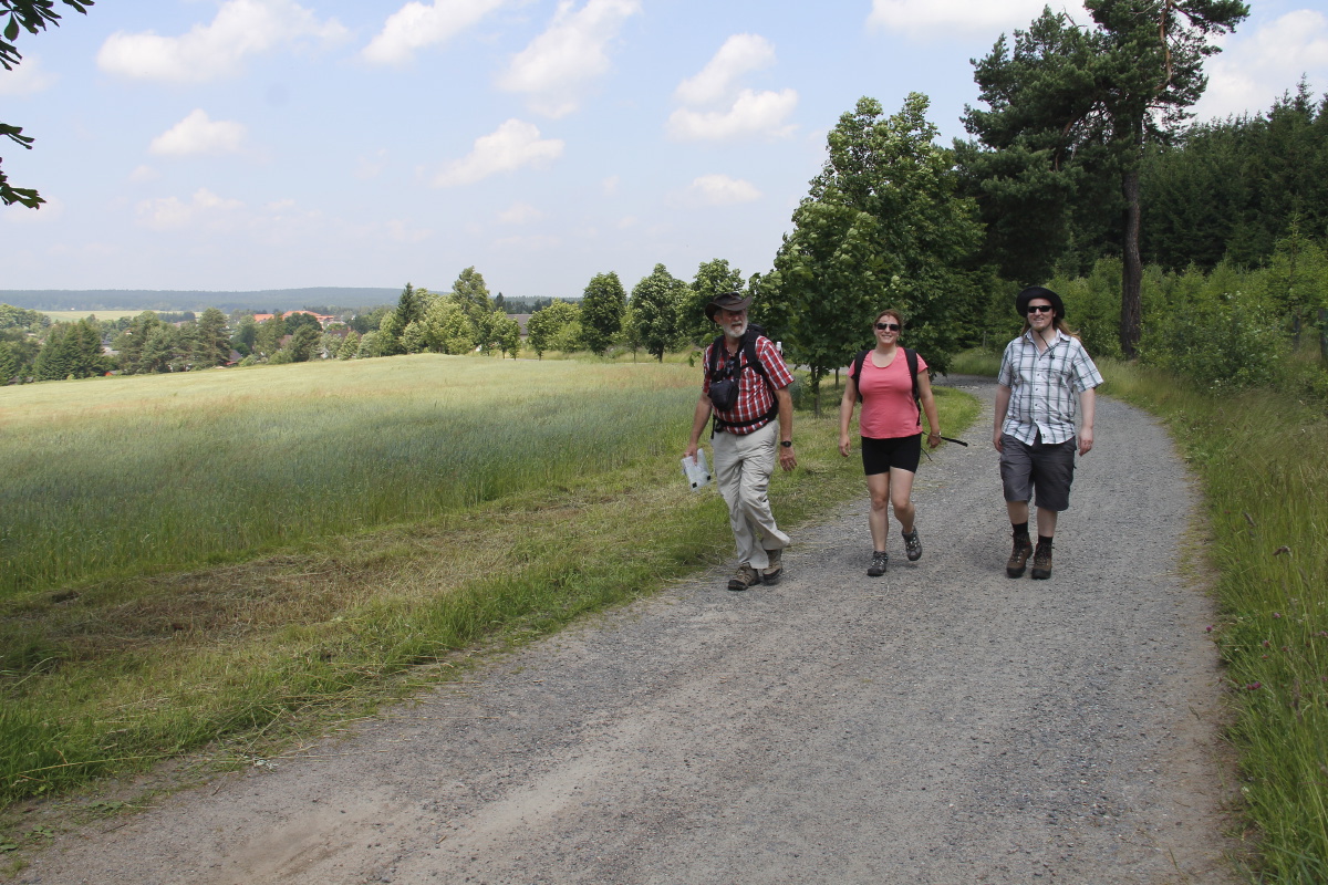
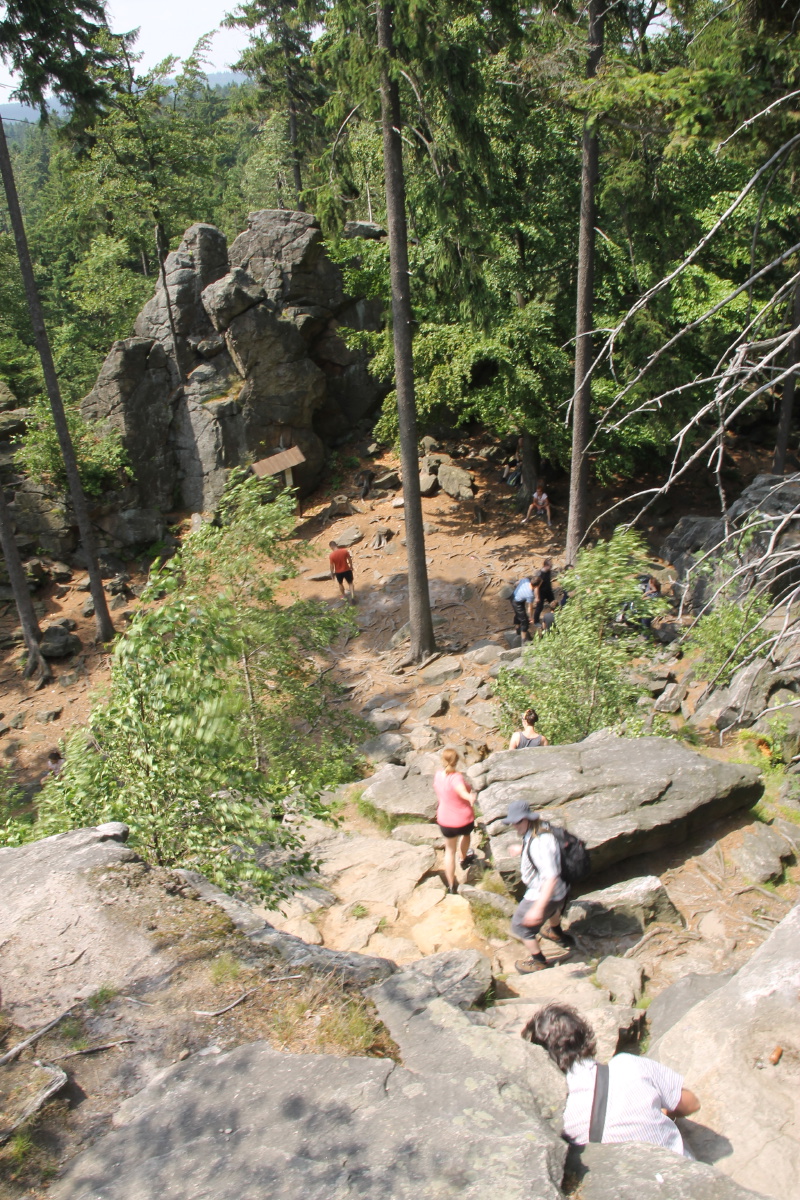
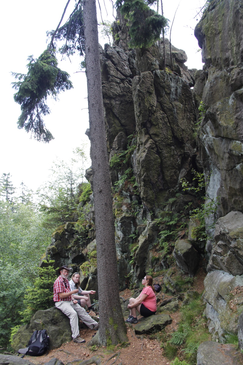
11. Deve¹t skal (Nine Rocks) – 150m and 5km – Sat
25 Jun 2016
| A pleasant hill-walk with Russell and Karen NW of Brno, complemented by walks
in Brno itself, and in the surprising city of Znojmo, near the Austrian border.
| |
|
|
|
|
Starting out |
Through open forest |
Very windy at the top |
The lunch-spot |
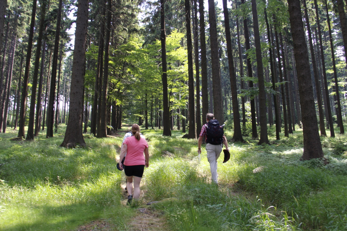
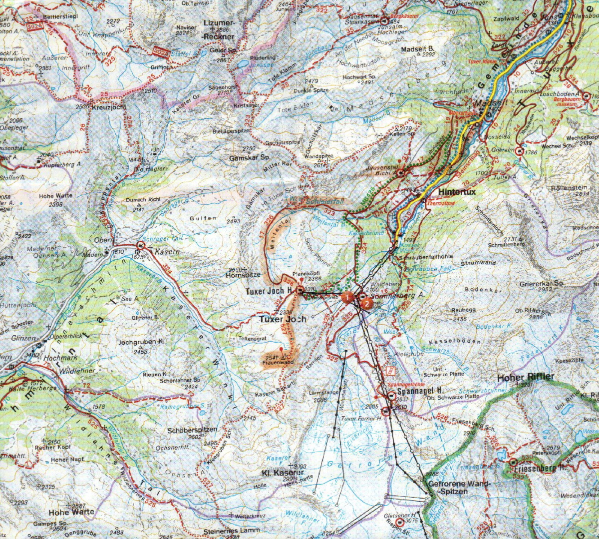
| We walked from our Pension at Madseit (1450m), SW via
the AlmBichl (1700m), the Schleier waterfall (2000m), the Weitental, and
the Tuxerjochhütte
(2300m) to the Frauenwand peak (2540m). It was a far better walk than we
anticipated
(because
we're always suspicious about
valleys that have glacier-skiiing at the end of them). The sparkling light helped
of course, but the fact is that it's both beautiful and highly varied, as
you rise from valley-floor,
via alp, into a hidden valley with waterfalls, and up onto the rocky mountain-tops.
The 1000m cleft between the Frauenwand peak and the glacier-ridden 3300m ridge
to the East adds to the drama.
| |
|
|
|
|
Soon after the start,
looking back
to Madseit |
Farmers were making
much hay ... |
... too much hay,
as it turned out |
Looking down on the
valley-end, and up to
glaciers, and our
target above Roger's hat |
|
|
|
|
The Schleier
waterfall ... |
... and the twisted
strata at its head |
The view from the top
back over the alp |
The rapids
above the falls |
|
|
|
|
The hidden valley,
the Weitental ... |
... and its
brooding peak |
Now above the
Tuxerjochhütte |
Flowers with
valley views ... |
|
|
|
|
... and with
mountain views |
The German-Austrian
border, with glider |
The length of
the Tuxertal |
The peak to the north |
|
|
|
|
From the Frauenwand
the cleft is evident |
Undeterred, Linda
captures Primulas ... |
... and Gentians |
And again on the
crumbling peak itself |
|
|
|
|
And another
on the very edge |
Yes, that edge
just there |
The tarn edge,
looking northwards |
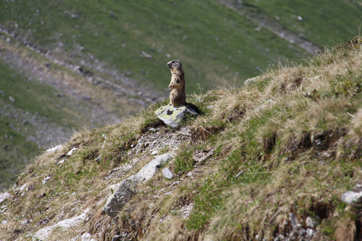
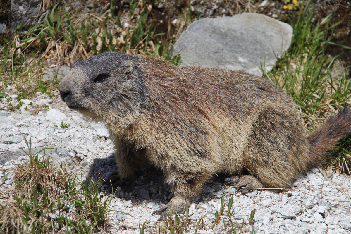
Marmot,
on sentry duty |
|
|
|
|
Marmot,
on PR duty |
The upper
Weitental again |
The upper falls,
the lower Weitental |
And at the top,
in afternoon light |
|
|
|
|
Looking back
to them |
The slopes above |
Afternoon light, cows,
a beer at AlmBichl |
Finally, a short,
steep cut back home |
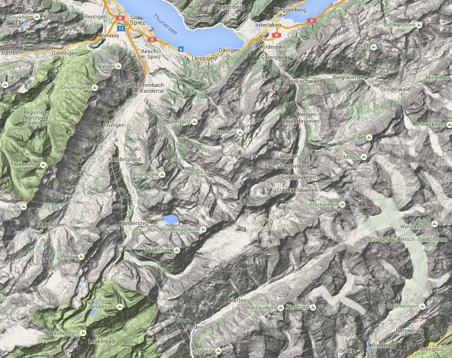
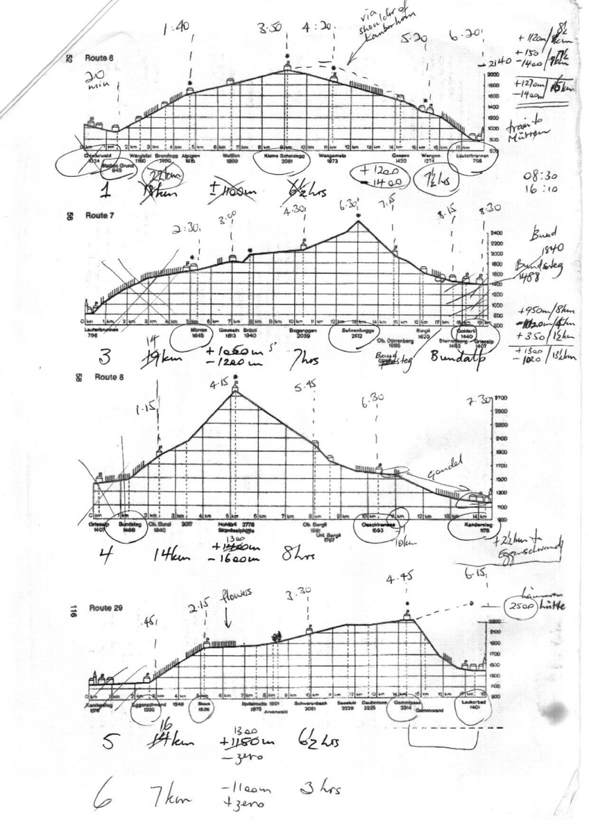
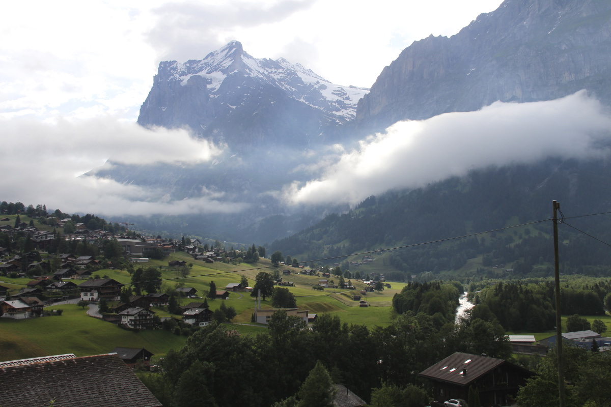
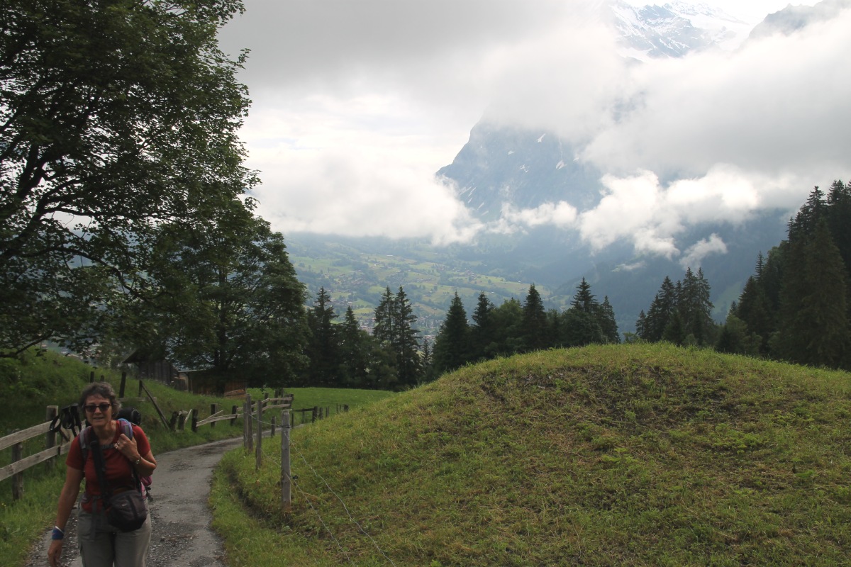
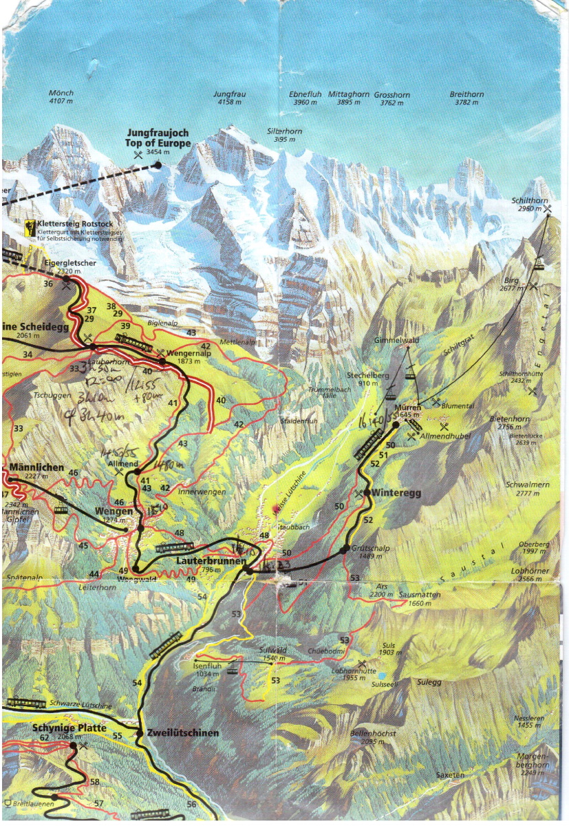
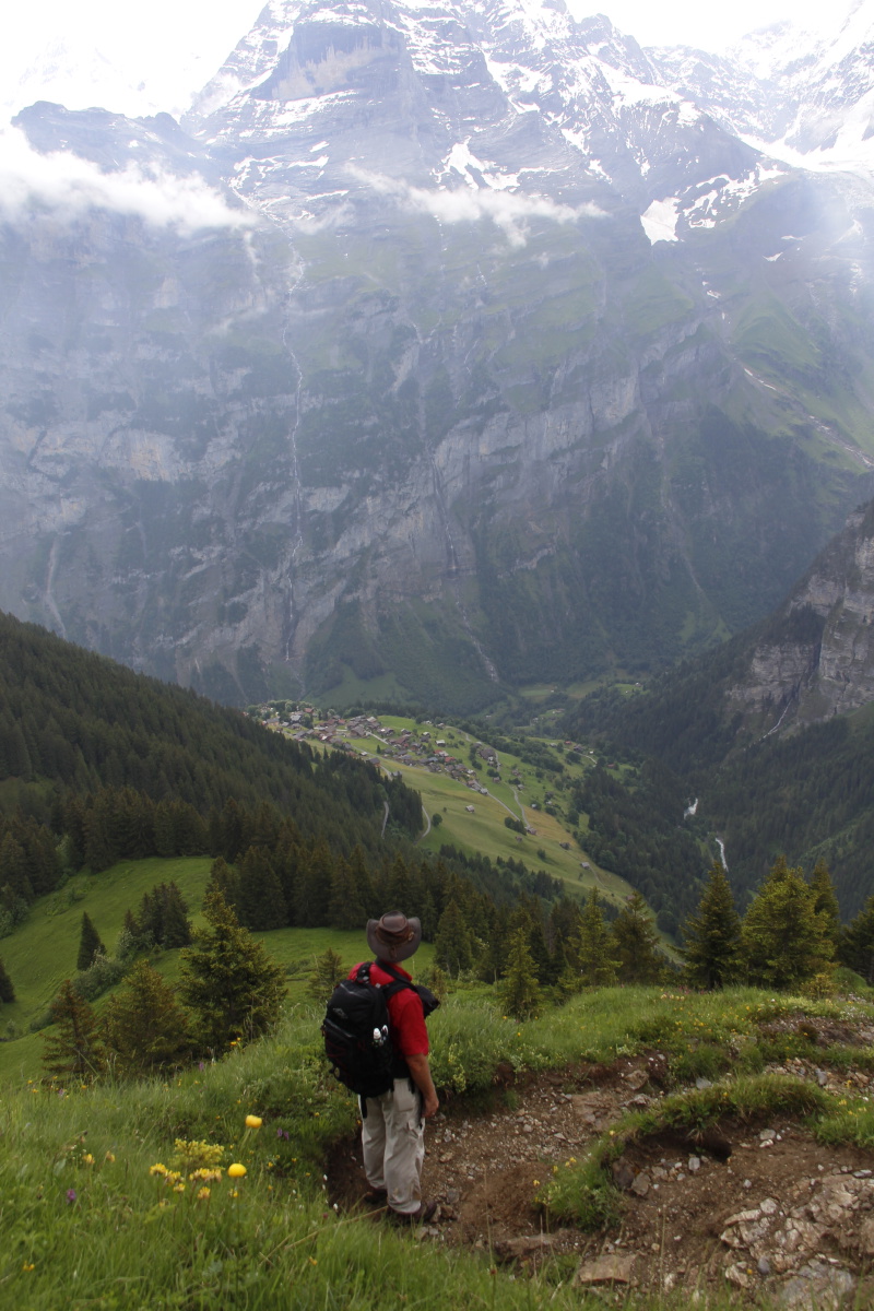
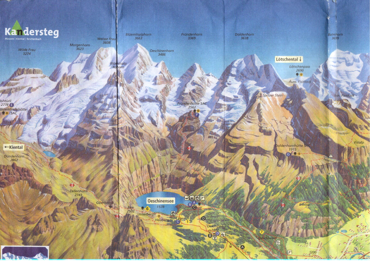
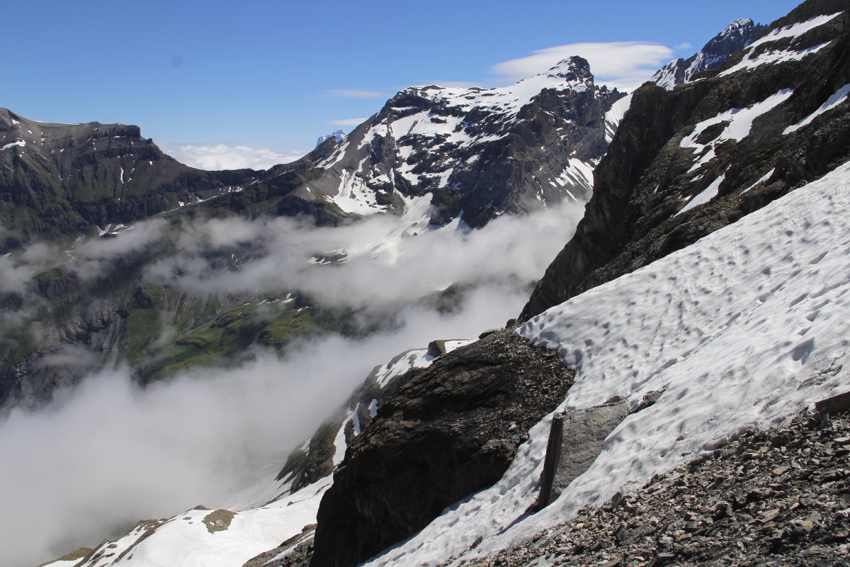
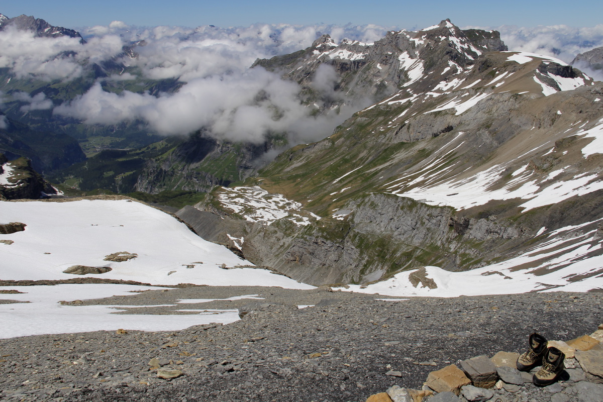
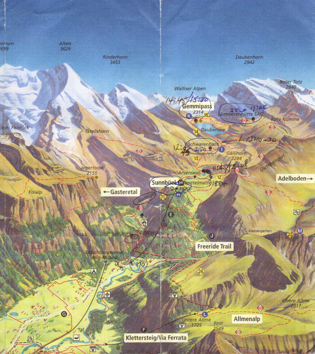
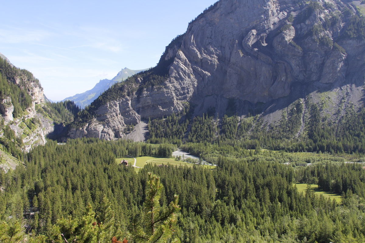
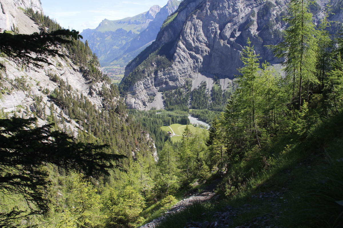
6 straight days' walking, SW from Grindelwald to the Gemmi Pass above Leukerbad.
This was the only time we've ever attempted to string such big mountain-walks together.
The walks totalled +5500m and-5000m vertical, and 83km in distance.
(For comparison, the
Tasmanian Overland track is +1340m / -1460m, and 65km).
|
|
|
An area map |
A contour map |
The walk profiles |
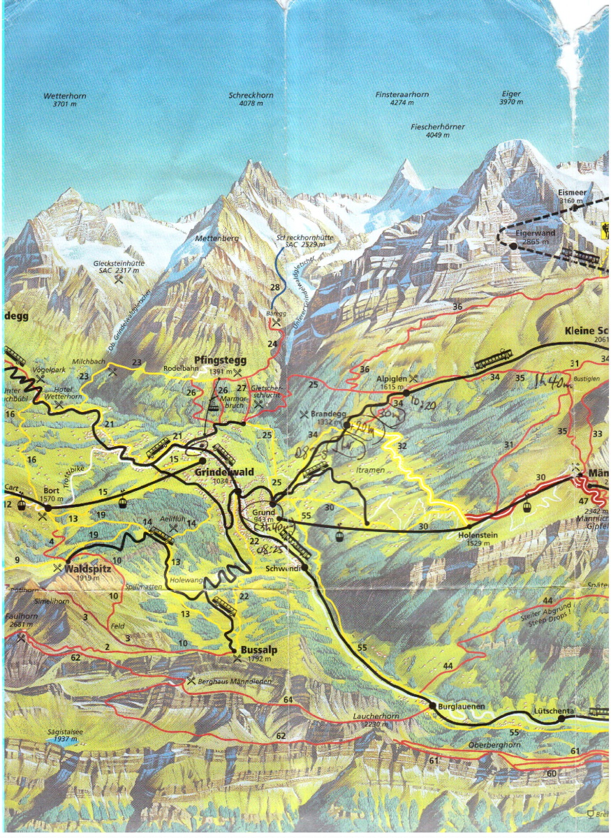
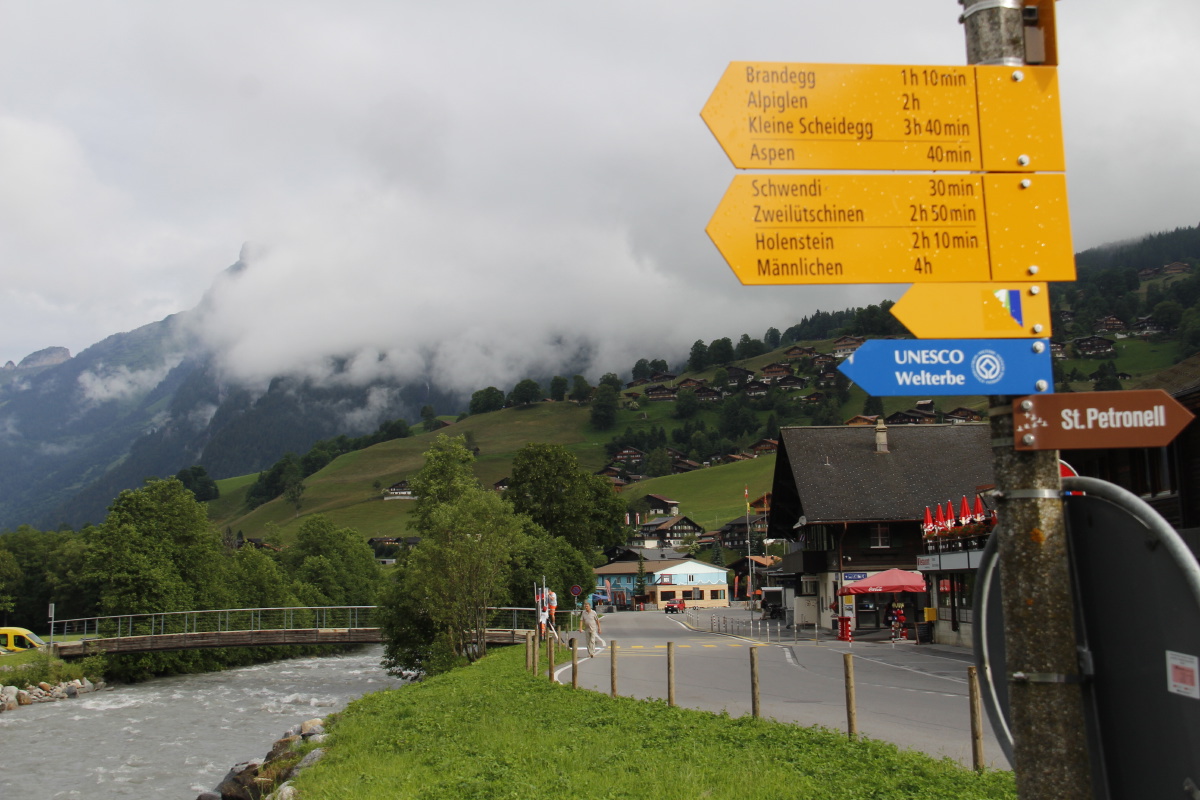
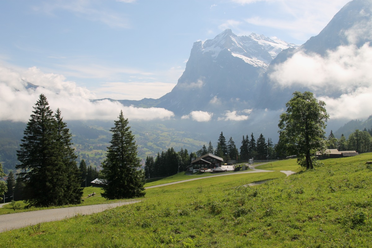
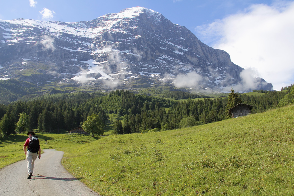
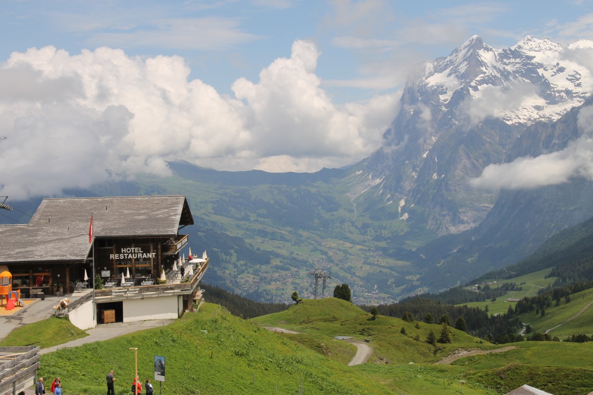
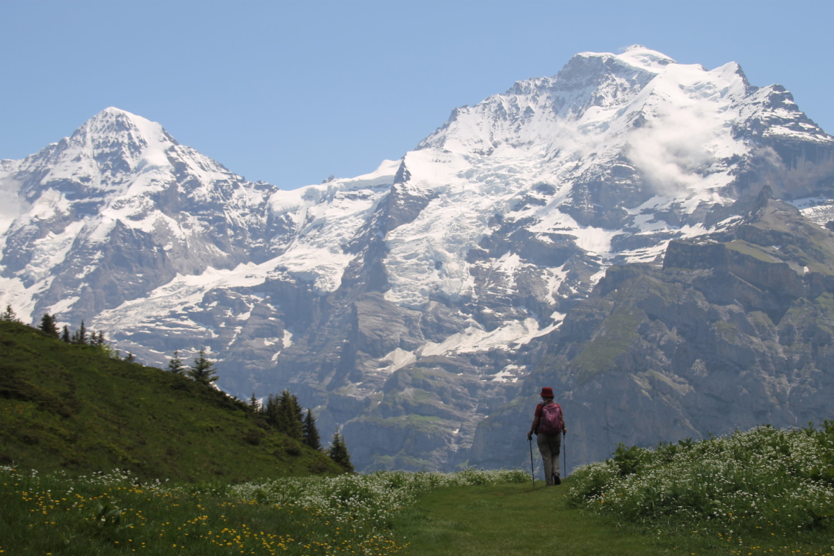
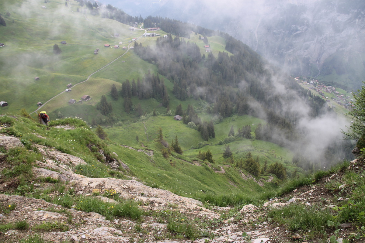
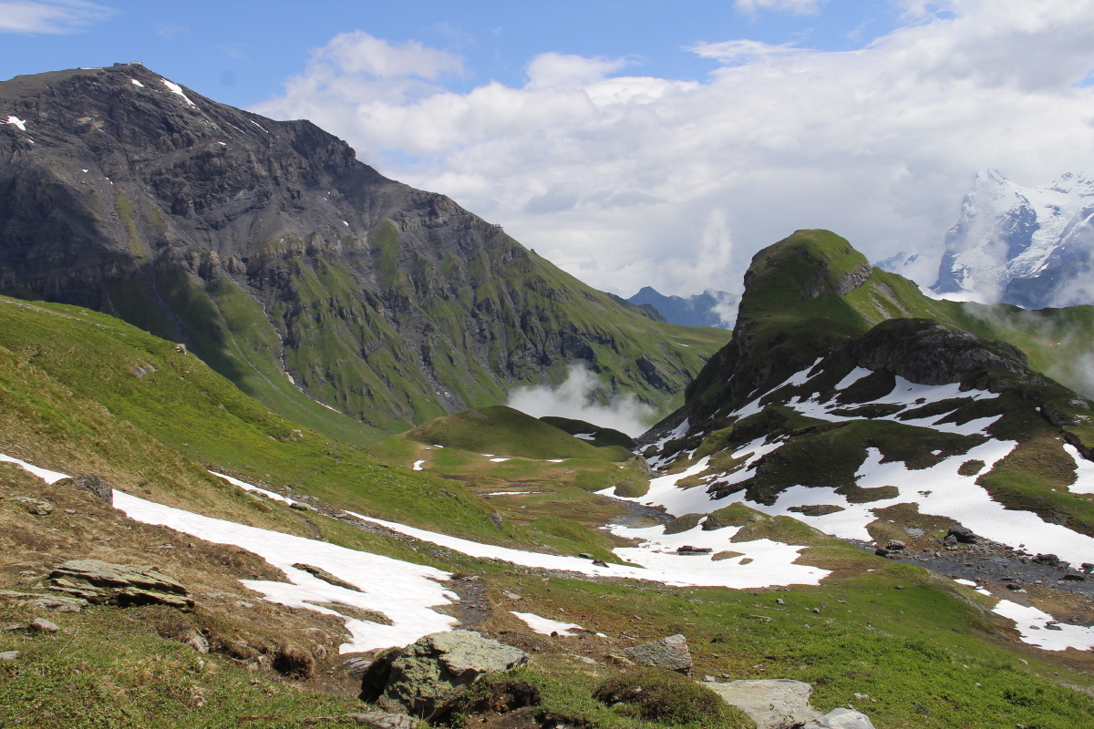
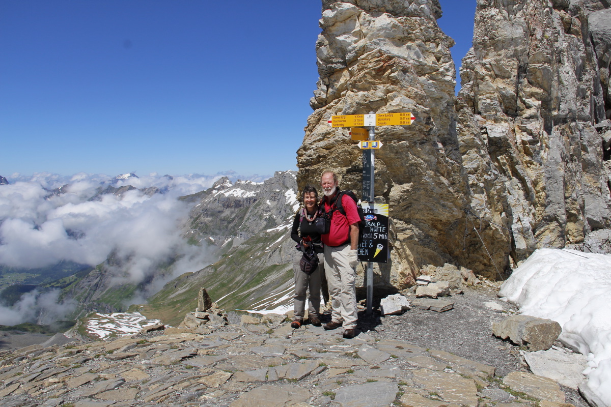
13. Kleine Scheidegg – +1250m/-1450m and
16km – Thu 30 Jun 2016
We walked from Grindelwald Grund (940m), up to Kleine Scheidegg (2060m) in
3-1/2 hrs, lunch, then around the shoulder of the Lauberhorn (2160m), and down
via Wengen and Lauterbrunnen (740m) in 3 hrs. We then caught the cable-car
and train to Mürren. We consider this walk to offer the best all-round
views available anywhere in the Alps (maybe the world?). The day was less than
perfect, but the cloud was sporadic and never closed us in, it often enhanced
rather than spoilt the view, and the late-afternoon storm was short.
We've had the pleasure of being at Kleine Scheidegg multiple times, incl. 2010,
2004 and 1999.
|
|
|
|
Walk 34 up to
Kleine Scheidegg |
The start at Grund,
showing expected times |
The view of Grindelwald
and the Wetterhorm above |
The well-made path
soon afterwards |
|
|
|
|
After coffee
at Brandegg ... |
... and above,
the Eiger |
Grindelwald and the
Wetterhorn from
Kleine Scheoidegg |
After lunch,
K.S. and the Eiger |
|
|
|
|
Walks 40, 43 and 48
down to Lauterbrunnen |
A brooding Jungfrau
occasionally looked down |
Wengeneralp, beneath
the Jungfrau |
Map of the Lauberhorn
Downhill that we were on
|
|
|
|
|
First view of Mürren,
with our two-night stay
on the very edge |
Wilderswil and Interlaken
down on the plain |
View down to Wengen |
Männlichen hanging
above us and Wengen ... |
|
|
|
|
... and the path
to the village |
No-waste policy
at work in Wengen.
Mist courtesy of
the quick storm |
The steep drop
to Lauterbrunnen,
beneath wall and fall |
And a better view of
the classic glacial valley |
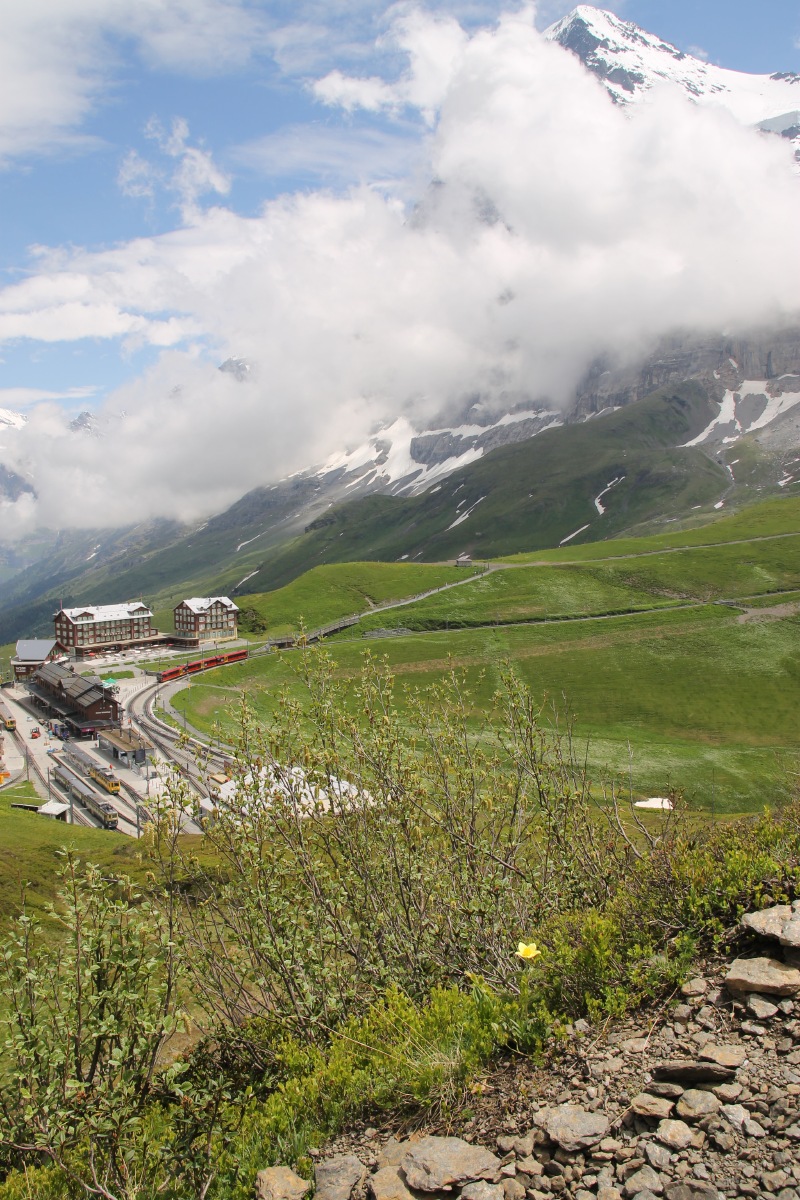
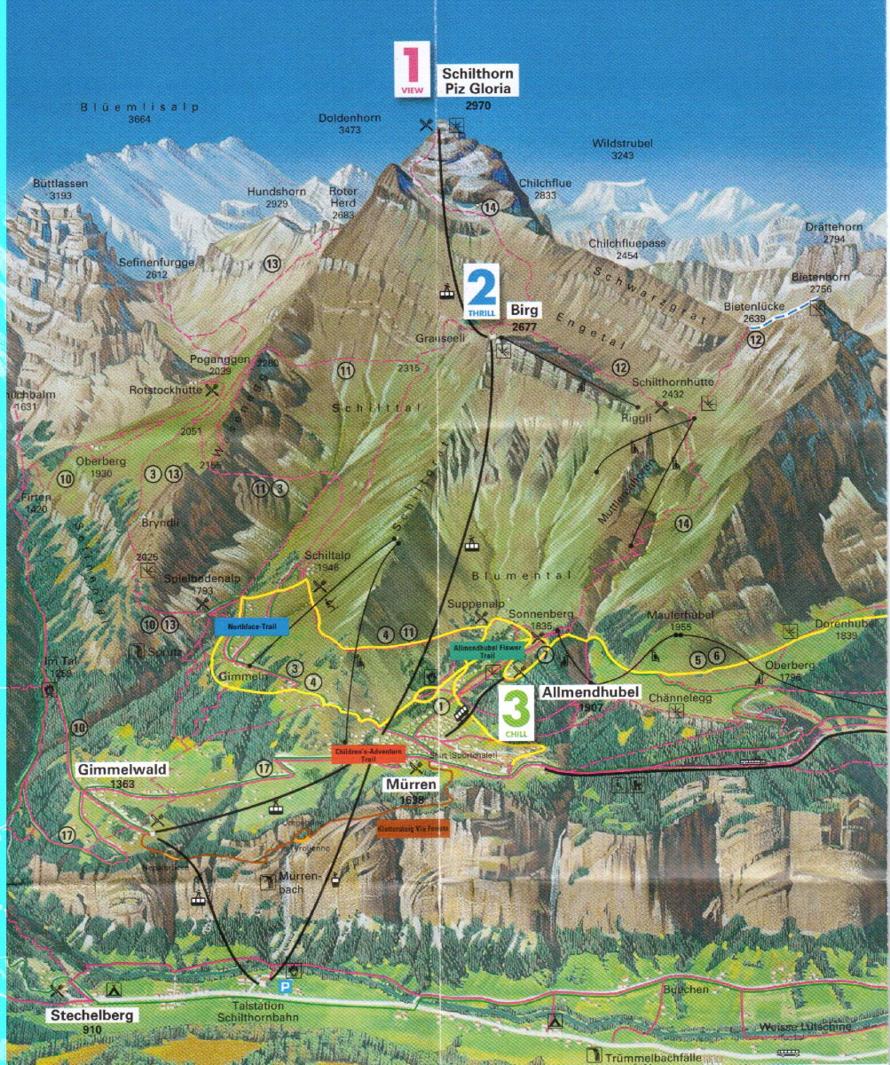
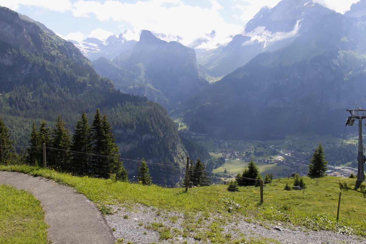
14. Above Mürren – 350m and 8km – Fri
1 Jul 2016
| As a loosener, we walked from Mürren (1640m) up to Suppenalp, along to Sonnenberg (1835m)
and Maulerhubel (1960m), and back. (We'd been told that the walk up to the Schilthorn (2970m) was closed
due to avalanche danger, and that even Birg (2680m) was awkward and inadvisable due to remaining snow).
That was fortunate, because the light day was to prove a blessing during the following four,
successive hard walks.
We've had the pleasure of being at Mürren before, in 2010.
This map shows all of the day's walk, plus the path taken the following morning: |
|
|
|
|
|
Alpine Meadows
at 1650m |
Eiger, Mönch, Jungfrau,
with the deep cleft beneath |
Blumenthal, as cirque ... |
... and in more
bucolic mode |
|
|
|
|
Early Marsh Orchids
competing for attention |
Walking couple
competing for attention |
A small figure
in a large landscape |
The precipituous view
from our hotel-room balcony
down to Stechelberg |
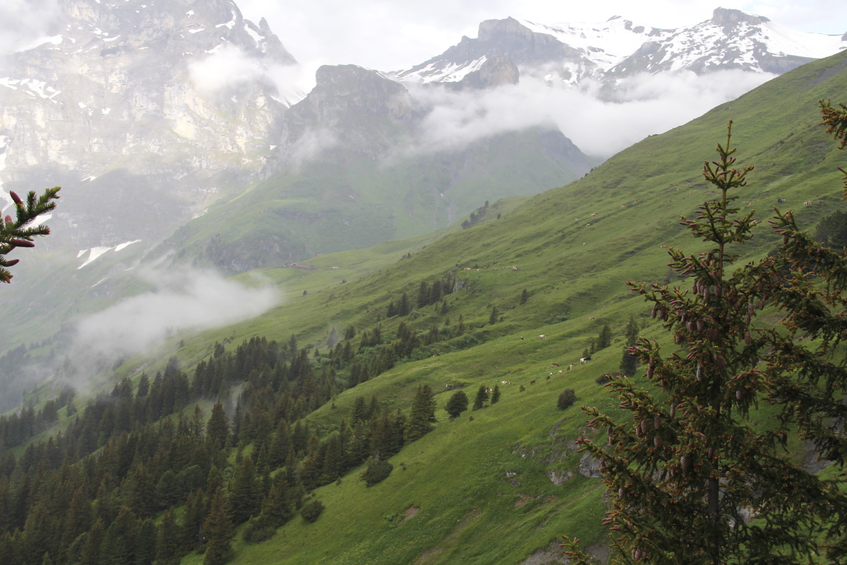
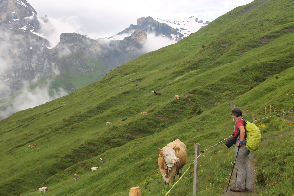
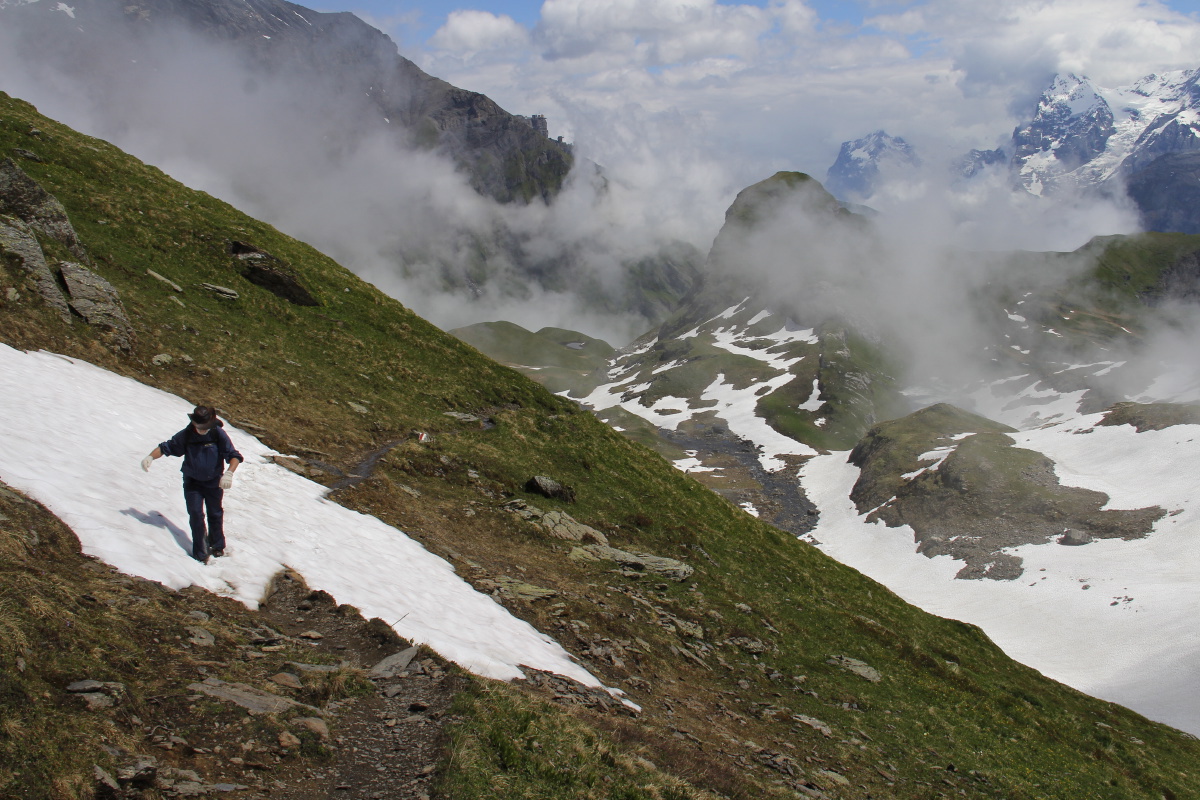
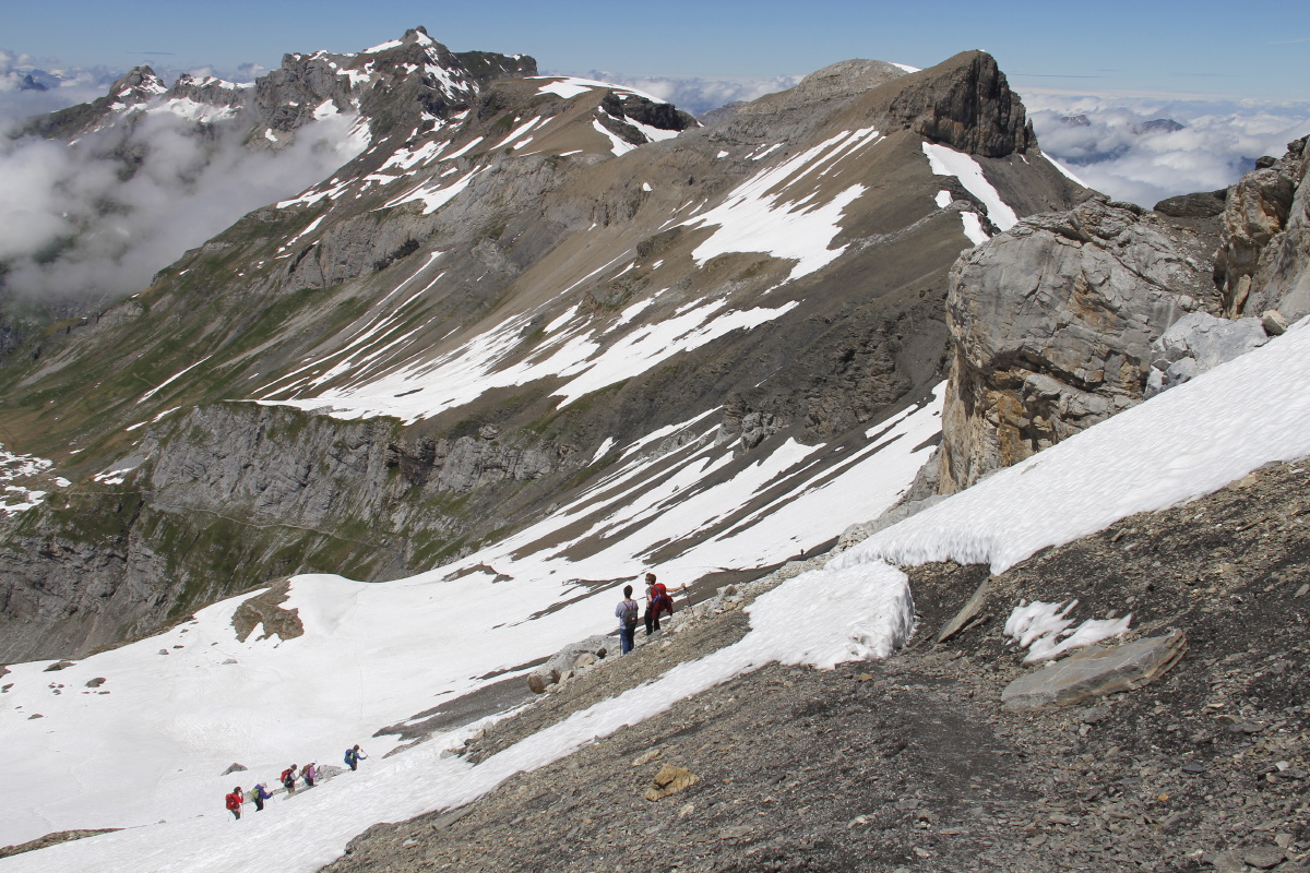
15. Sefinenfurke – +1000m/-1200m/+350m and
13km – Sat 2 Jul 2016
From Mürren (1640m) gently up to Spielboden (1790m), then steeply up
a ridge-line to 2050m (40 minutes = 390m per hr), then along contours to the
Rotstockhütte in the Boganggen valley (2050m), then up and along, and
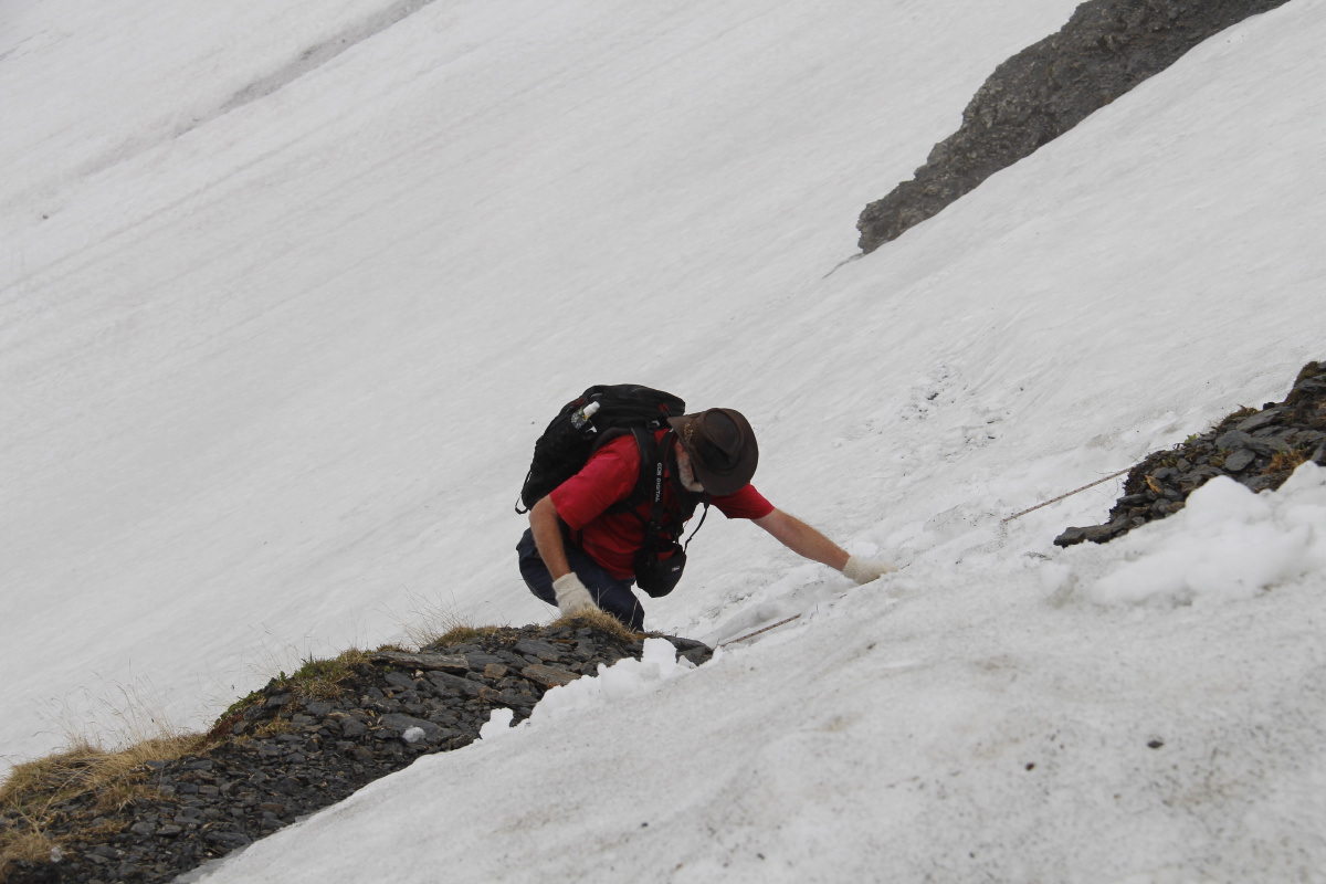
steeply up the last 150m over the Sefinenfurke (2610m). The last section was
very slow because of the deep snow (1 hour!). Then down to the path-junction
below Bürgli (1490m), and finally up to Bundalp (1840m) – the
last part slowly on account of tired legs. Until we were over the pass, we had interchanging
good visibility and frequent heavy cloud. That was then replaced by moderate rain and mist, so
we arrived as wet outside as we had earlier been inside. Thank heavens for wet-weather gear.
We've previously walked on the Mürren side of the Sefinenfurke, in 2010,
2004 and 1999.
We've previously walked up the Kiental side of the Sefinenfurke, in
2004.
|
|
|
|
The pleasant,
Yorkshire Dales
stroll to Spielboden ... |
... with the ridge
looming above |
Linda approaching
the top ... |
... giving her a view
down to Gimmelwald
hanging above the valley |
|
|
|
|
View along the contour
towards Rotstockhütte
with the pass centre-top |
Linda getting the low-
down from the locals |
Walking the contour |
Rotstockhütte
in the Boganggen |
|
|
|
|
After Birnenmost,
the path to the pass |
Looking back up to
the Schilthorn |
Practising
snow-crossings |
For now, a clear view
up to the pass |
|
|
|
|
From bottom-right, to the
post centre-half-left,
up the muddy scree, then
up the snow to centre-top |
Glancing back to the start:
Wetterhorn, Eiger,
Mönch, Jungfrau |
They knew amateurs
would be coming |
'Swiss Lunch'
at the top
(i.e. chocolate) |
|
|
|
|
The other side,
improved since last time! |
"I thought this
was the easy bit" |
"Ah, better this way" |
Kiental in
deepening cloud |
|
|
|
|
While there's visibility.
back up to the pass ... |
... and across to
tomorrow's walk
(The ridge centre-right,
with the pass being the
low point on the horizon) |
Thank heavens we
didn't have this
up on the pass ... |
Streams fed by
melt and rain |
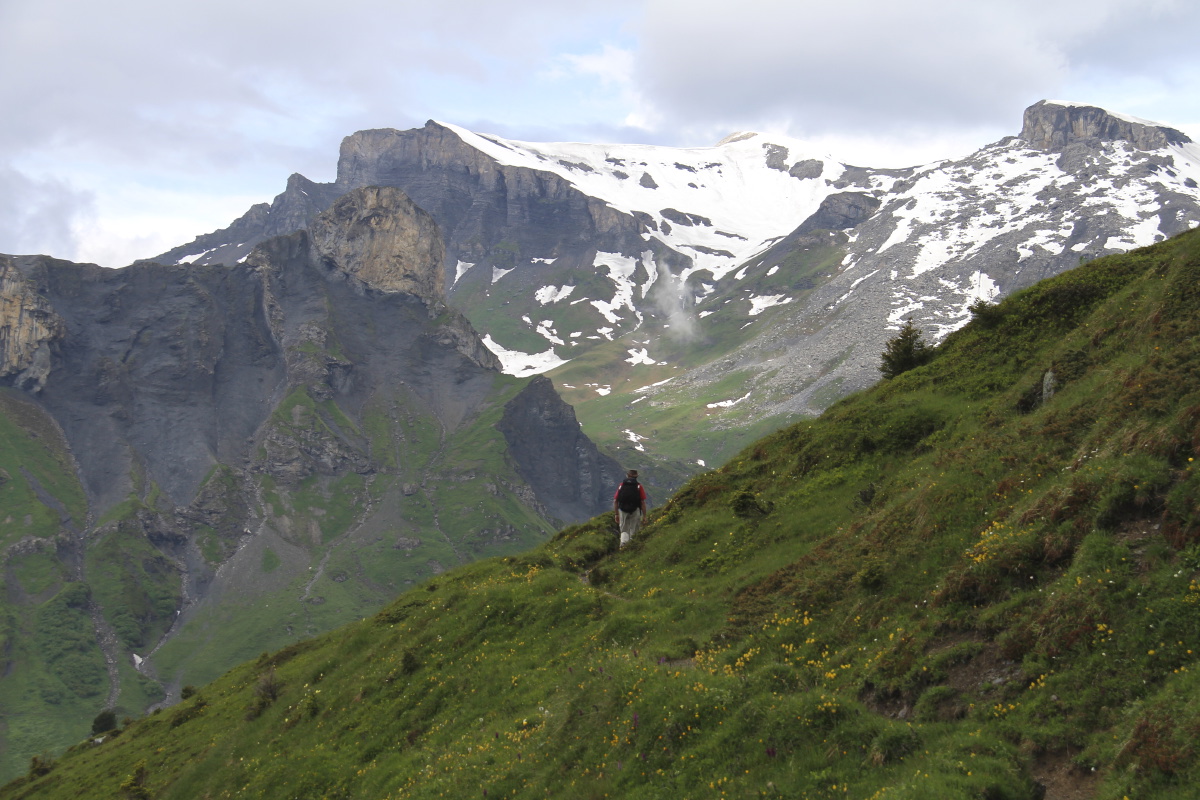
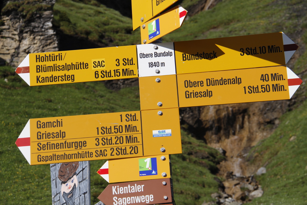
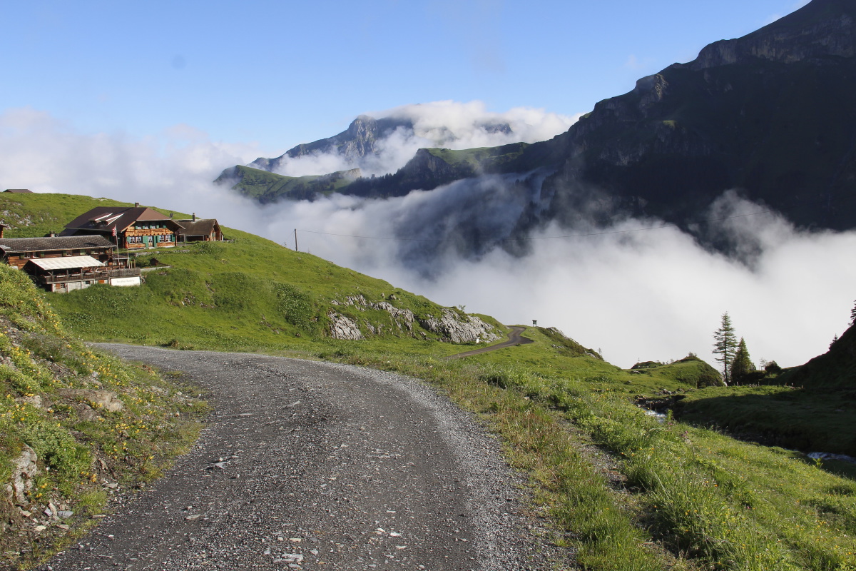
16. Blümlisalp – +1000m/-1200m/+40m and
13.5km – Sun 3 Jul 2016
| From Bundalp (1840m), we went up a spur to Hohtürli and the Blümlisalphütte
(2840m). It was the most tiring and the most
direct approach to any pass that we've tackled (1000m in 3km, i.e. 1 in 3).
We then went very steeply down to the path junction
above Oeschinensee (1970m), then above the wonderful path above the lake to
the top of the gondola (1680m), via the gondola down to Kandersteg (1150m),
then 2.5km along to the end of the valley at Eggenschwand (1190m).
We've been up the Oeschinensee side of Blümlisalp before, in 2010.
This map shows most of the second half of the walk:
| |
|
|
|
|
Morning light at
the Bundalp |
A sign of
things to come |
A glance back
at Bundalp |
Initially, easy enough |
|
|
|
|
But 2.5km like this
changes your mind |
And as the snow is
reached, you start
fighting your way up |
Cloud-layers you hope
won't consolidate |
And, finally,
above all of that |
|
|
|
|
A ground-ladder
over the scree |
Time off for
a flower, at 2560m |
Looking back at
the group behind us |
And looking back at
the Sefinenfurke |
|
|
|
|
Hohtürli (the pass),
and the other side |
From the Blümlisalphütte
50m above, views SW
(Thun on the right) ... |
... and again ... |
... and back NE to the
Schilthorn and Birg ... |
|
|
|
|
... and down our track,
SSW to Kandersteg |
Setting off down
the first section ... |
... awkwardly, due to
snow conditions + gradient |
The glacial lake ... |
|
|
|
|
... the glacial plain ... |
... and them what dunnit |
20 minutes ago,
those ants were us |
The path junction
before Oeschinensee |
|
|
|
|
The lake emerges |
The wall towering over it |
Further along
the high path |
Over Kandersteg towards
tomorrow's walk |
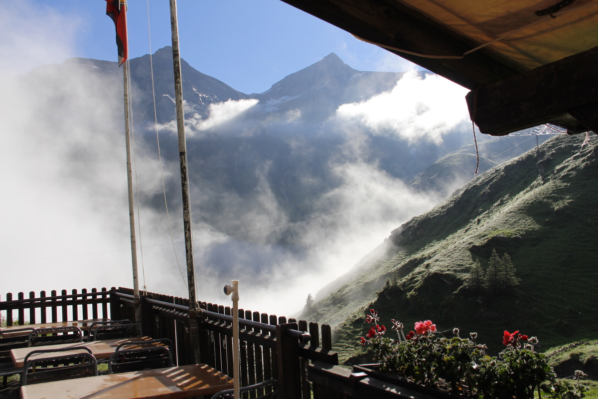
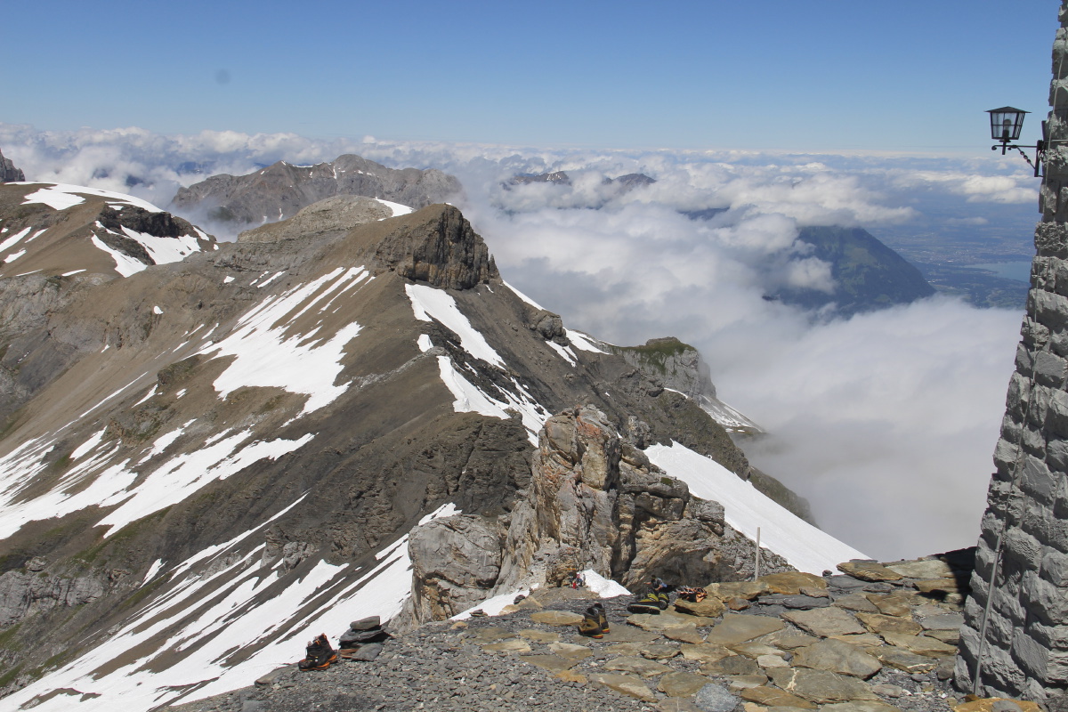
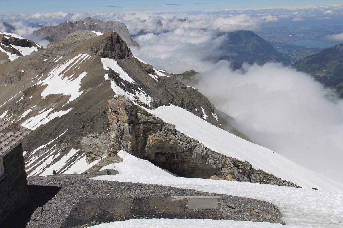
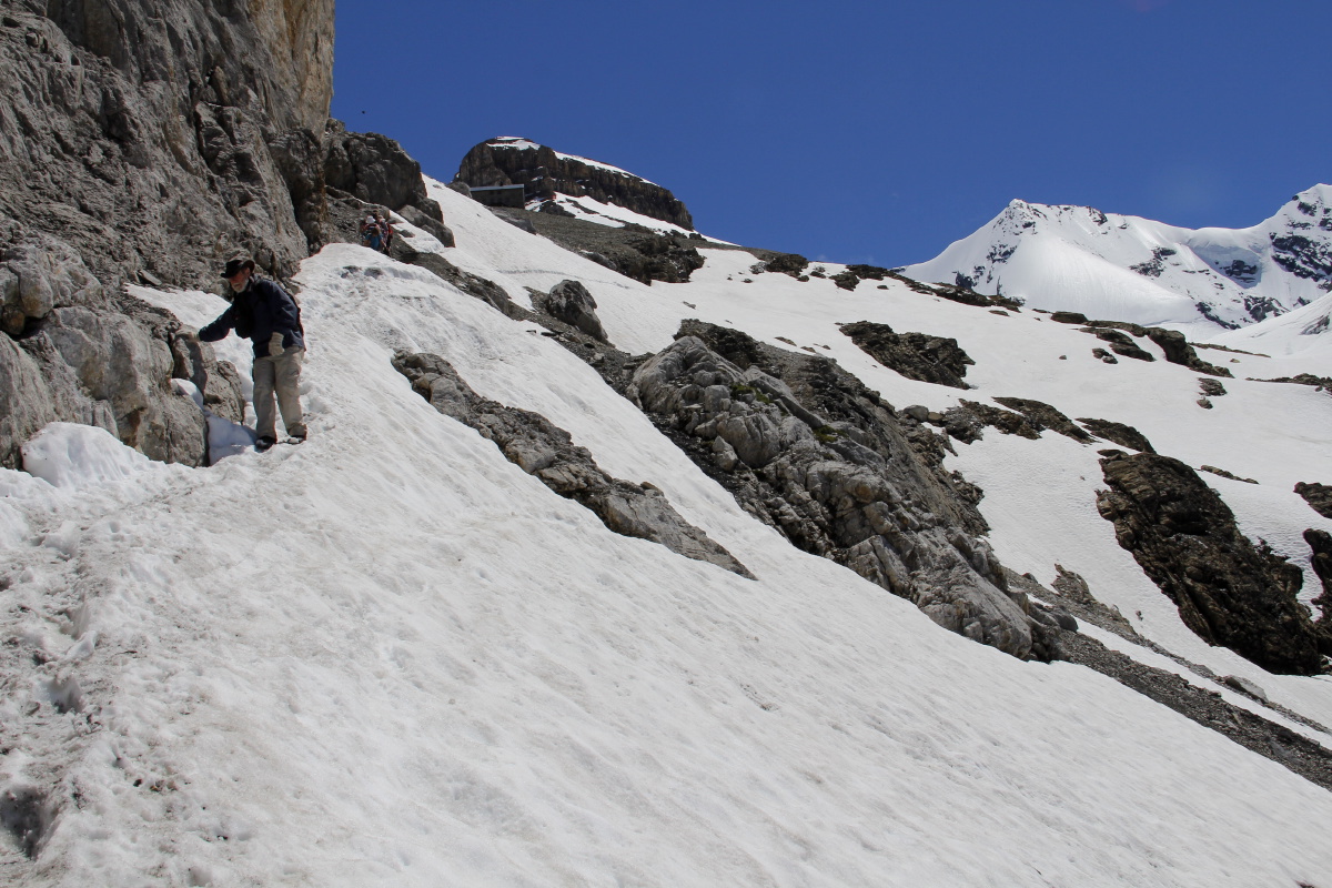
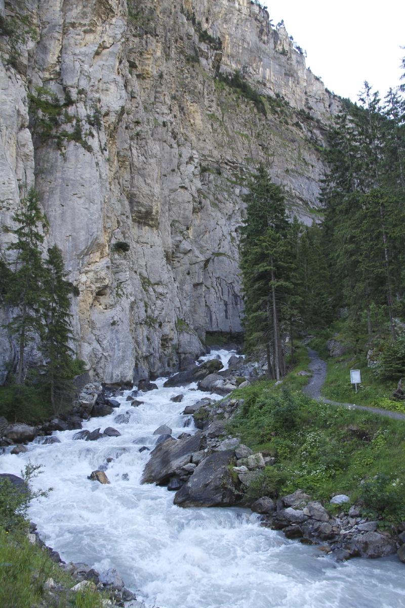
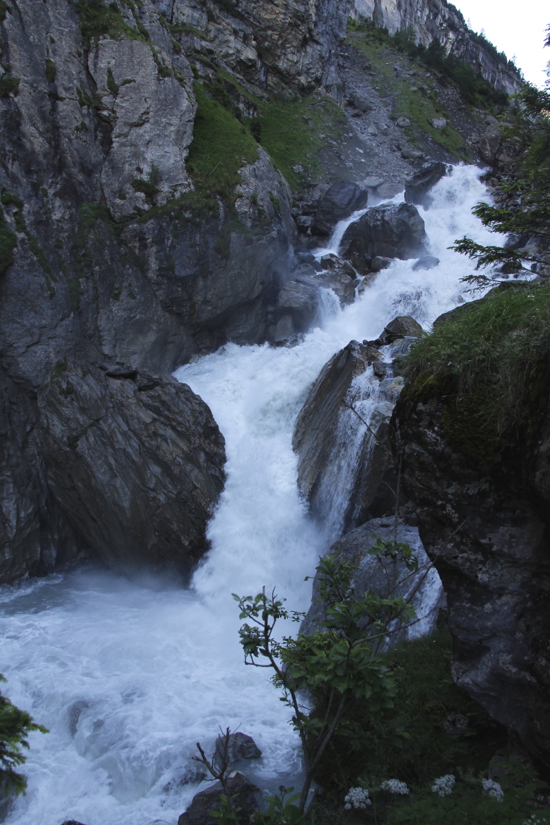
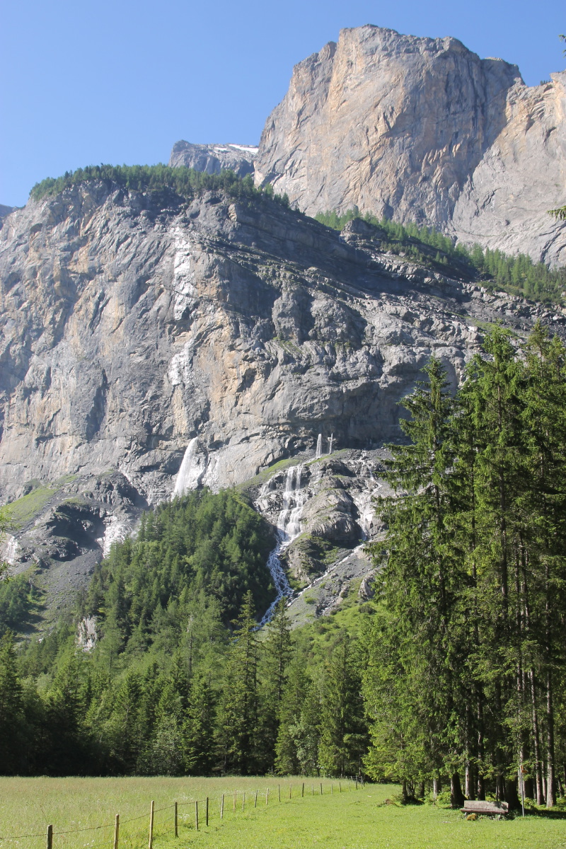
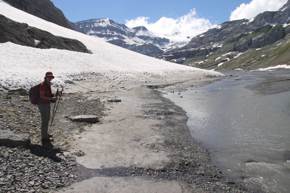
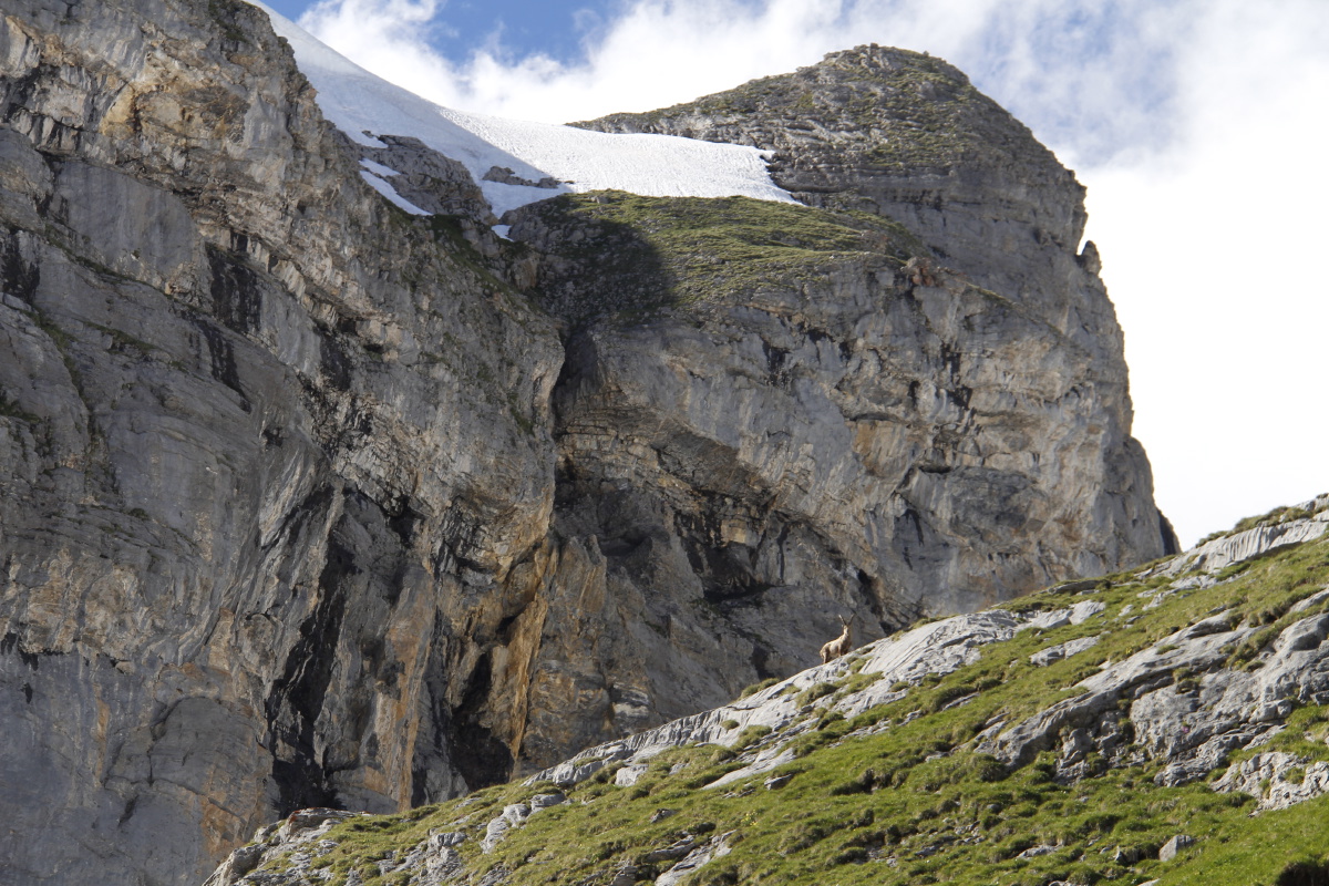
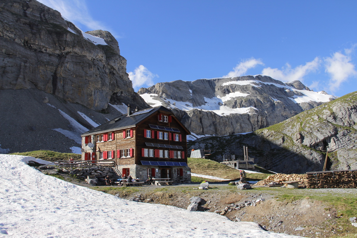
17. Lämmerenhütte – +1400m/-100m
and 18km – Mon 4 Jul 2016
| We ignored the cable-car and walked up from Eggenschwand (1170m),
up the Klusschlucht into the hidden Gasteretal, then up the 500m forested
wall called Gürnigel,
to 40m below Sunnbühl (1920m). We then went along and up to the restaurant
above the Gemmi Pass (2340m), then turned right along the glacial valley,
and up onto the glacial shelf and the Lämmerenhütte (2500m).
| |
|
|
|
|
The gorge wall at
the start of the walk |
The torrent |
In the Gasteretal, ... |
... three falls come straight
out of limestone walls |
|
|
|
|
The 500m wall up
out of the valley |
And the higher and
steeper wall beside it |
Looking back down
into the valley |
Higher, seeing
back to Kandersteg |
|
|
|
|
Above Spittelmatte,
looking back to
the top of the wall |
At the dairy,
teddying, with goats |
Arriving at the lakes,
Gemmipass ahead |
Along Taubensee |
|
|
|
|
Spring Gentians
demanding attention |
At the restaurant above
Gemmipass, Monte Rosa top-left |
Westwards along the
snowed-in glacial plain,
Wildstrübl at the end |
Looking back
to Gemmipass |
|
|
|
|
Starting the steep
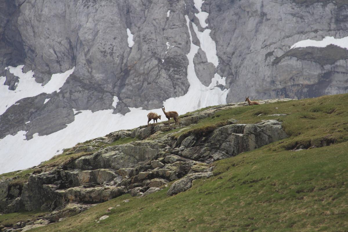
180m track to the Lämmerenhütte |
A Steinbock lording it
over the cliffs above |
The Lämmerenhütte
in late afternoon light |
Looking back
to Gemmipass |
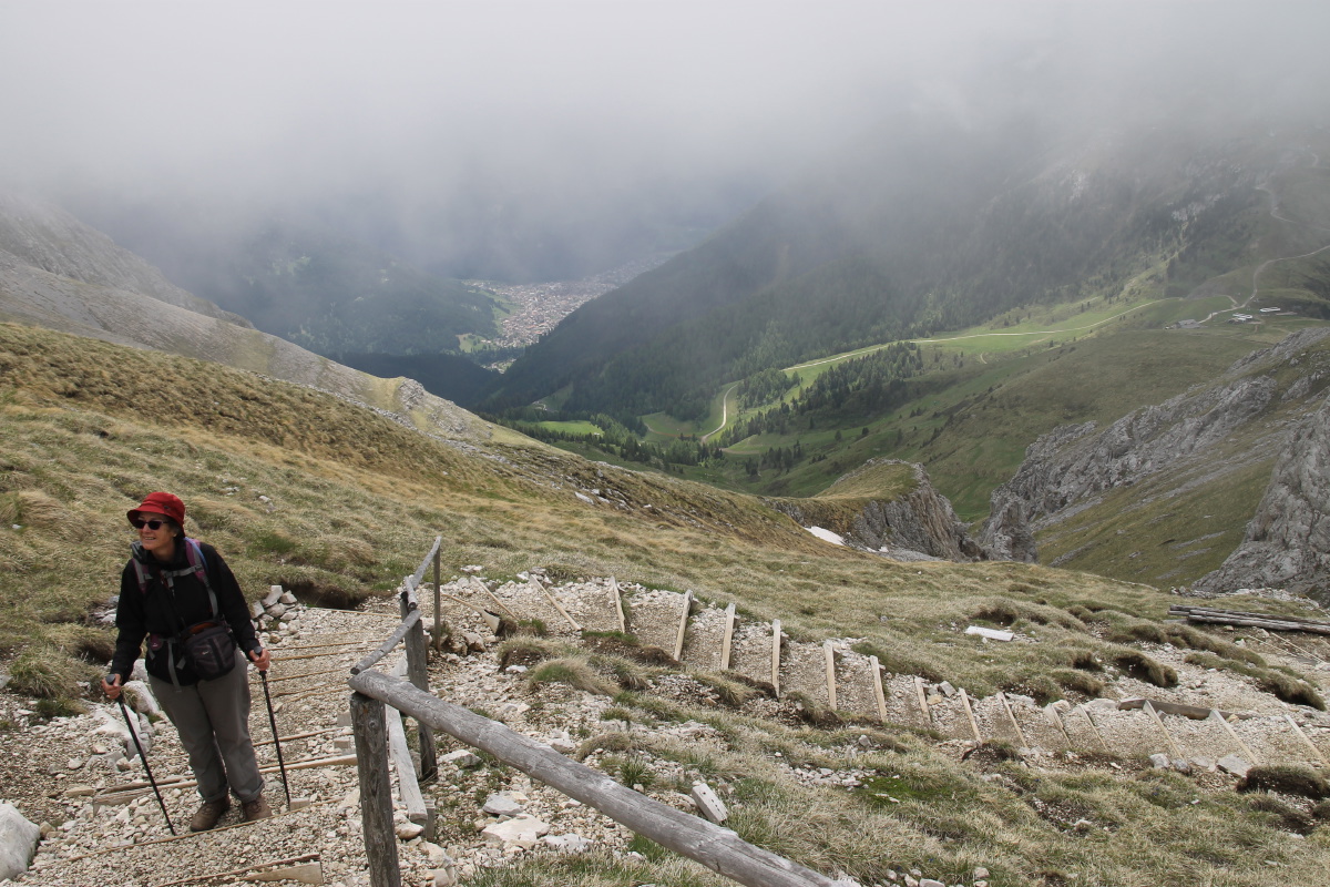
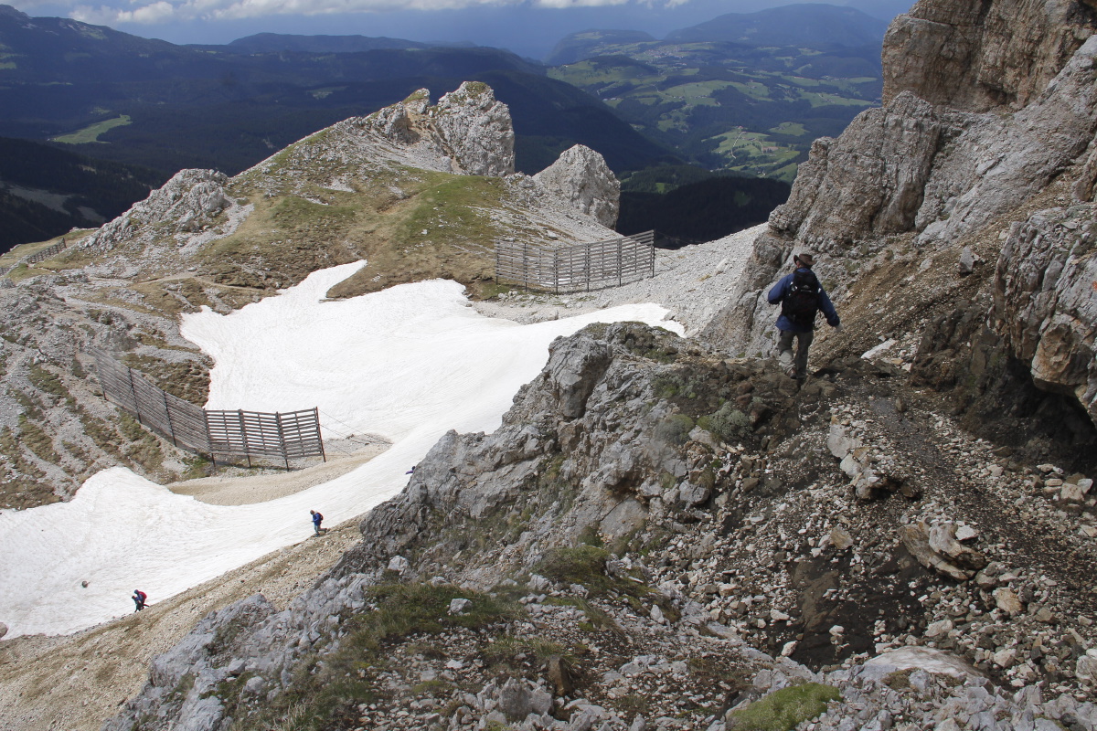
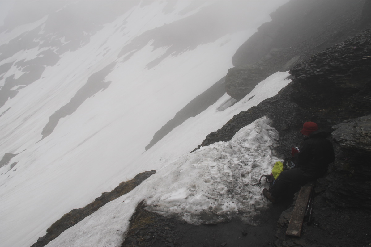
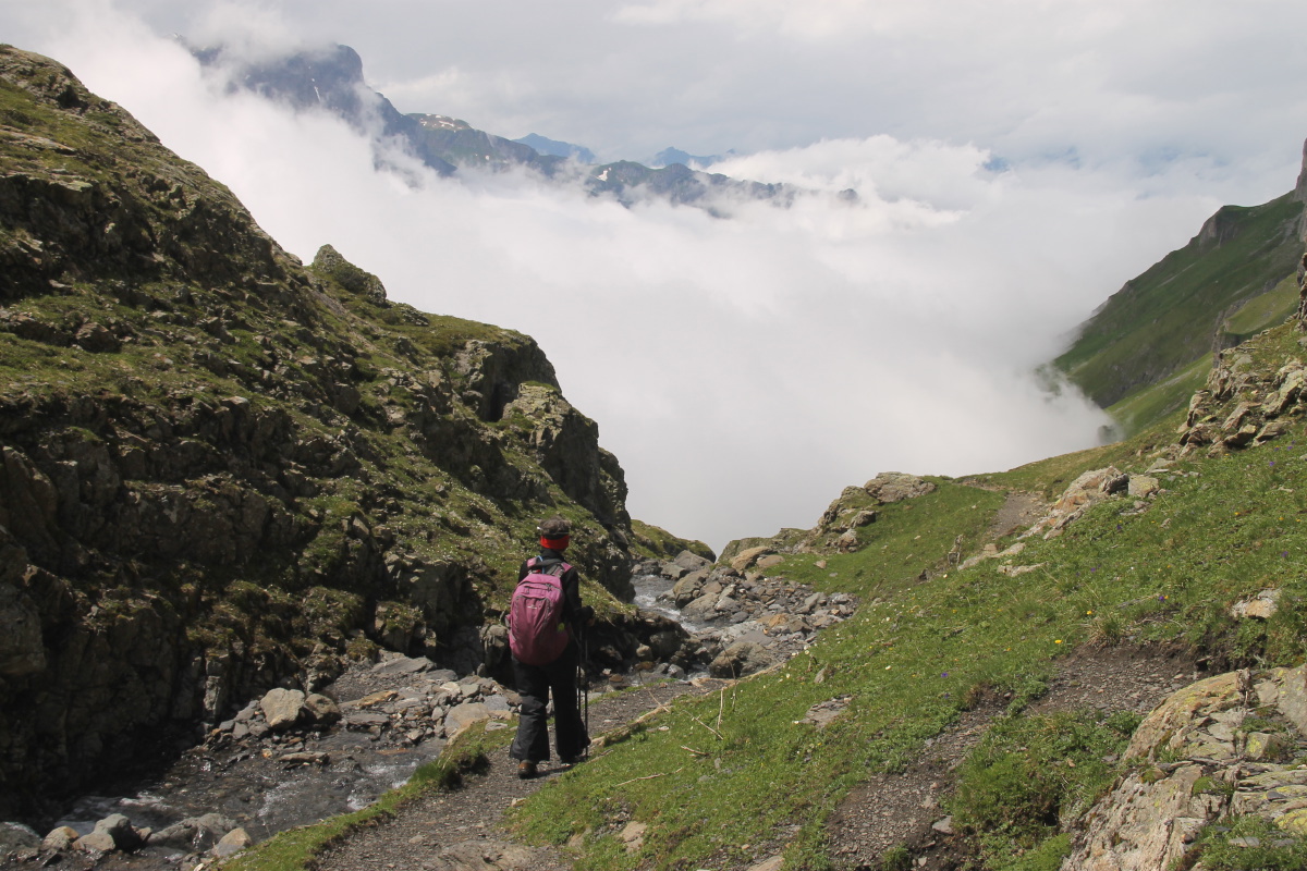
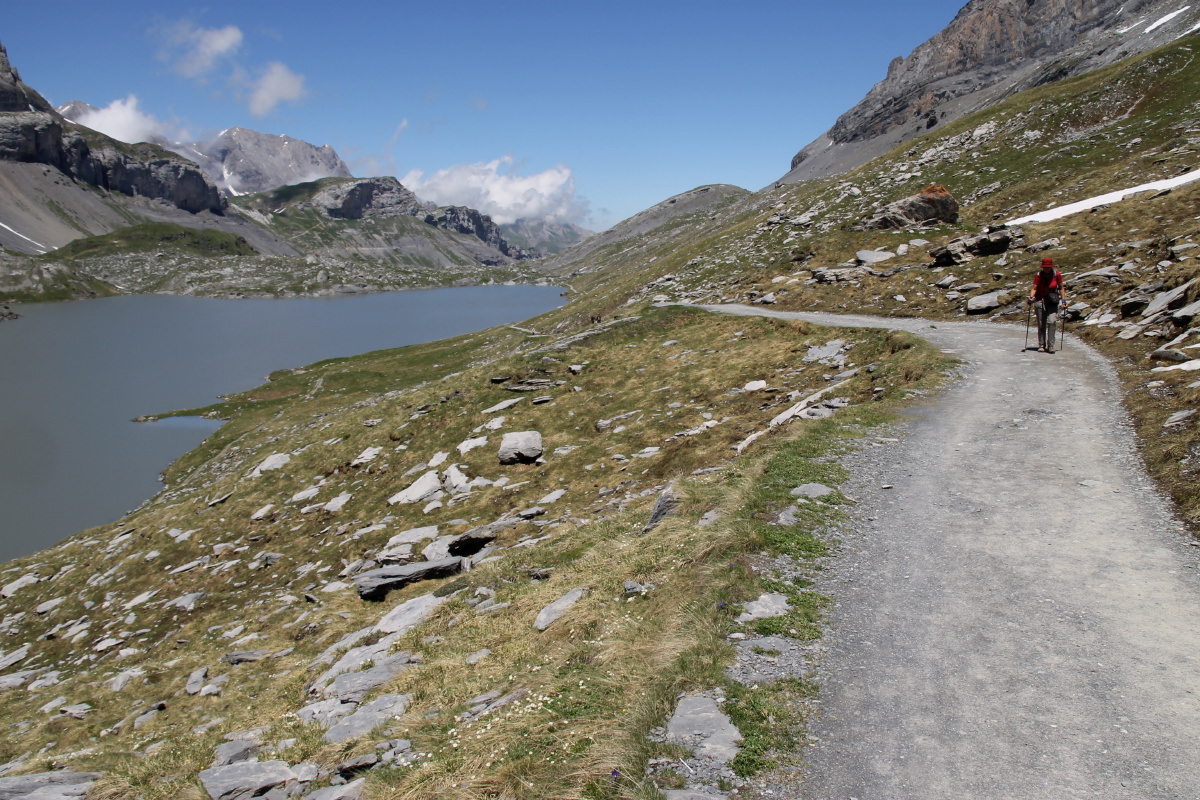
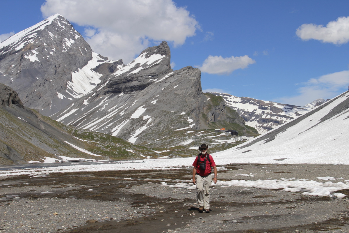
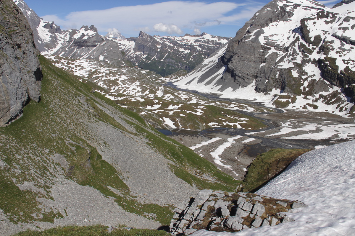
18. Sunnbühl – +100m/-680m and 15km – Tue 5 Jul 2016
We returned from Lämmerenhütte (2500m) back down through the snow,
along the glacial shelf, and up to the restaurant above the Gemmi Pass (2340m)
,
then
down, along and finally up to the top of the cable-car at Sunnbüel (1920m),
down the cable-car to Eggenschwand (1190m), and along to Kandersteg station
on foot (1150m).
We were pleased to do the main part of the walk in 3-1/2 hours
(plus a 15-minute coffee at the Schwarenbach Bergrestaurant), as per estimate,
at 4kph. The early parts weren't easy, and our legs and bodies really could
have done with a day's rest first. We trained back to the car (Kandersteg-Spiez/S-Interlaken
Ost/IO-Grindelwald) and were in Grundbach in time for a great dinner with
Robert and Jenny Portner.
|
|
|
|
Back down the wall |
The corner of the
Windstrubel glacier |
The lake on the northern
side of the glacial plain |
In the Sunnbühl cable-car,
looking into the Gasteretal
towards the Lötschenpass |
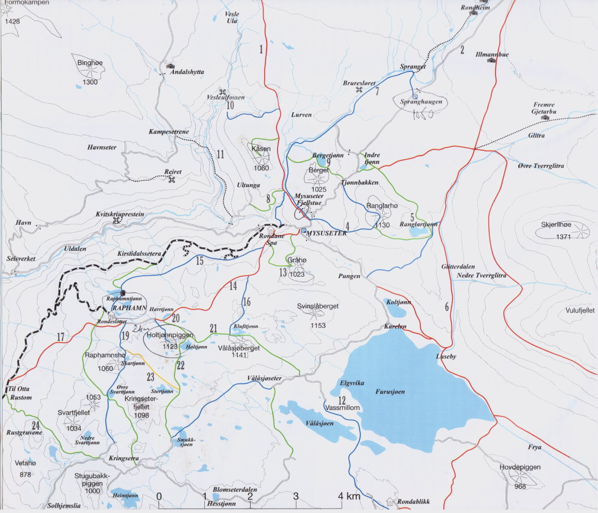
Rondane, Norway – Sat-Sun 27-28 Aug 2016
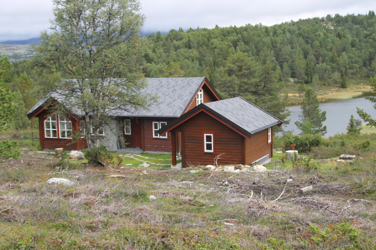
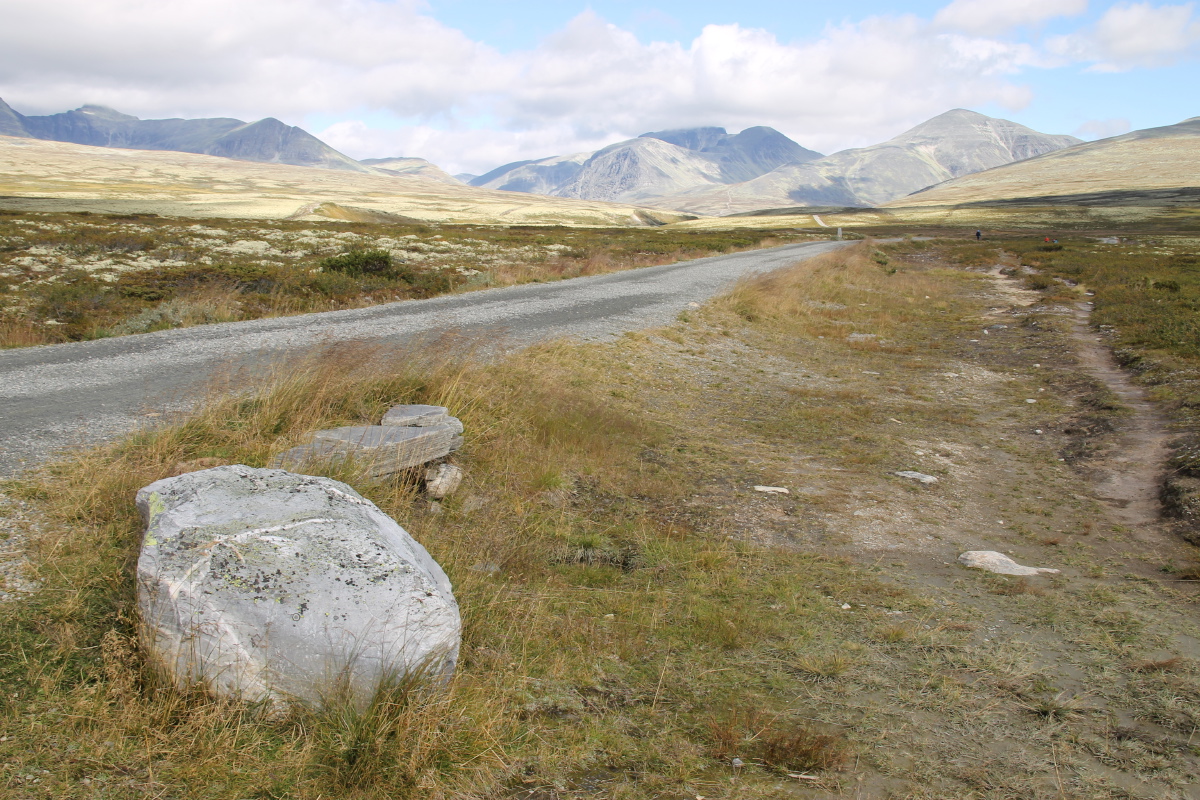
Lee Bygrave hosted me at his hytte in the Rondane National Park, 350km north of Oslo. |
|
|
The hytte is at Raphamn (first of the two maps):
|
|
|
|
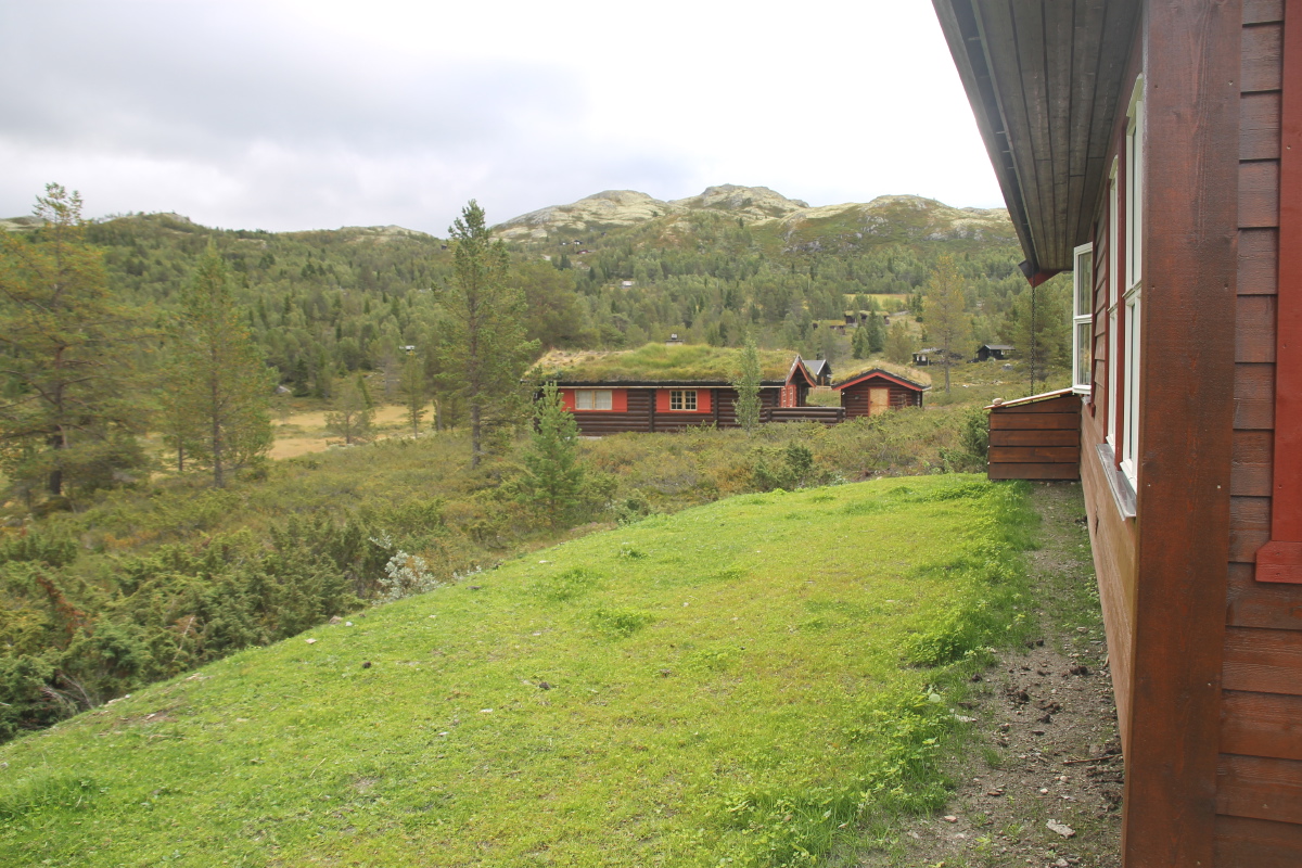
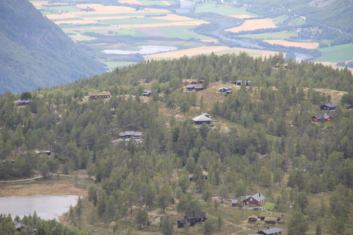
The very comfortable hytte |
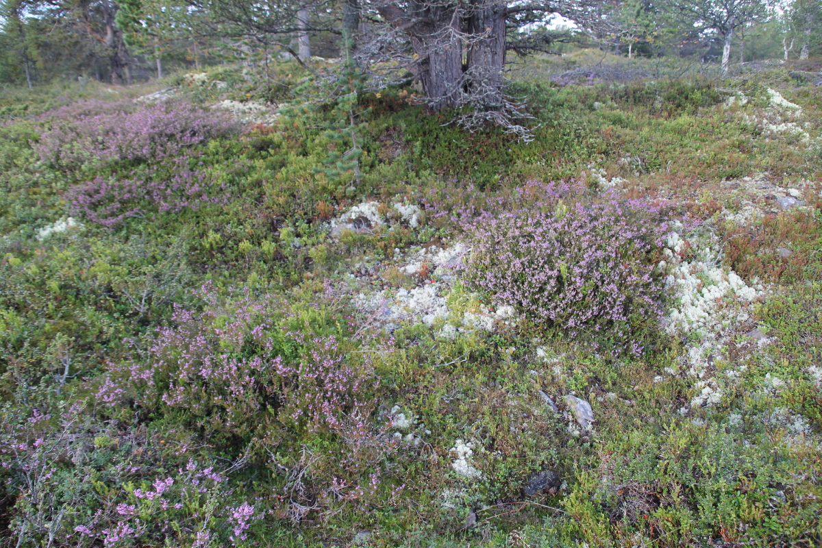
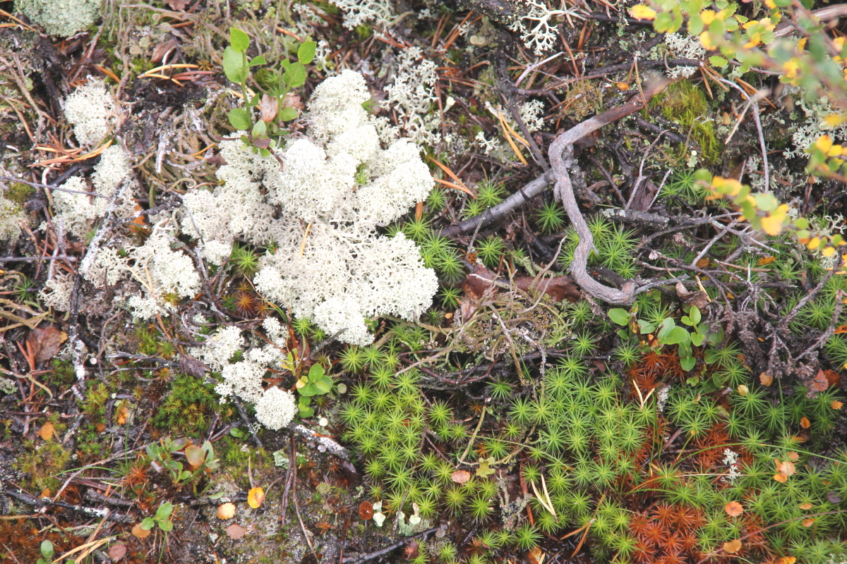
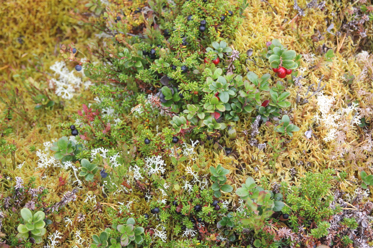
Sub-alpine vegetation
at 930m ... |
... mainly
Heath/Erica ... |
... but with
rich diversity |
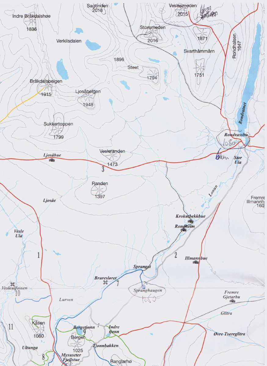
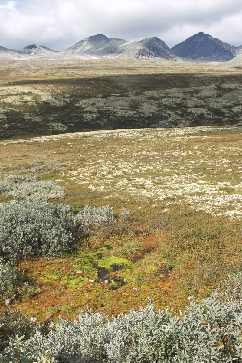
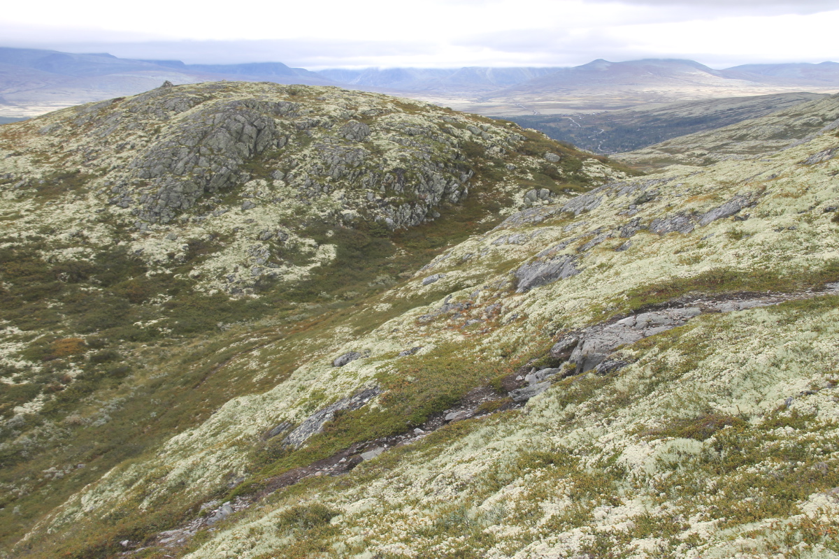
Saturday afternoon, we walked 965m up 2015m Veslesmeden (see the second
of the maps):
|
|
|
|
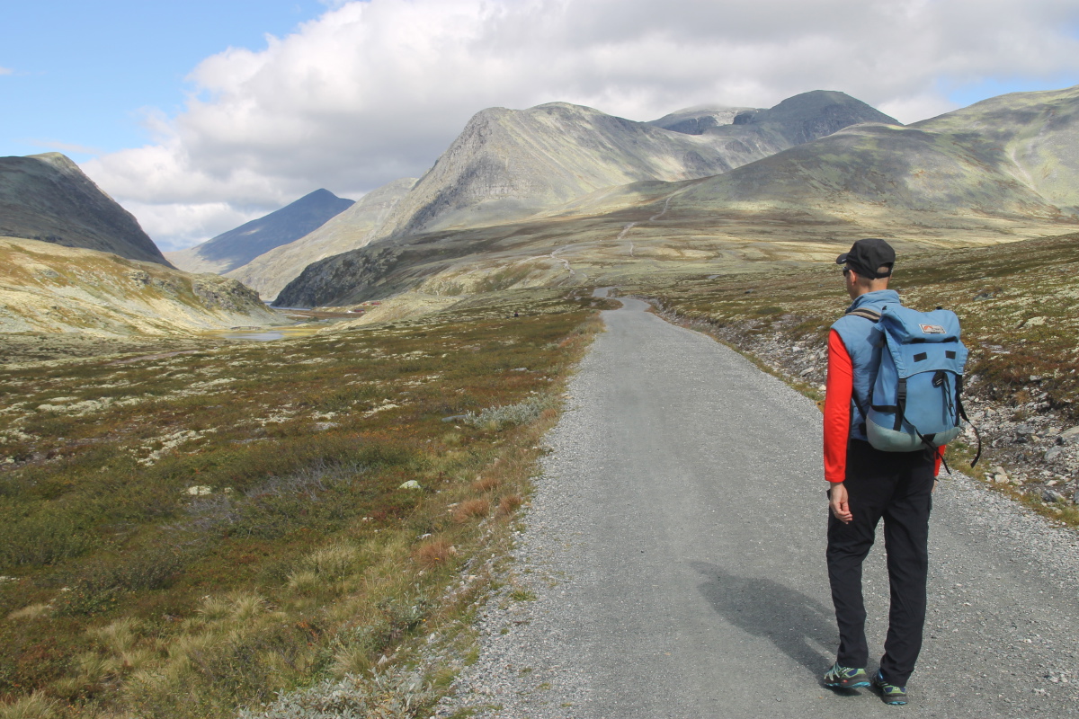
The start of the
6km flat-track walk,
with Veslesmeden
top-left, in cloud |
The vegetation and light,
the target centre-right |
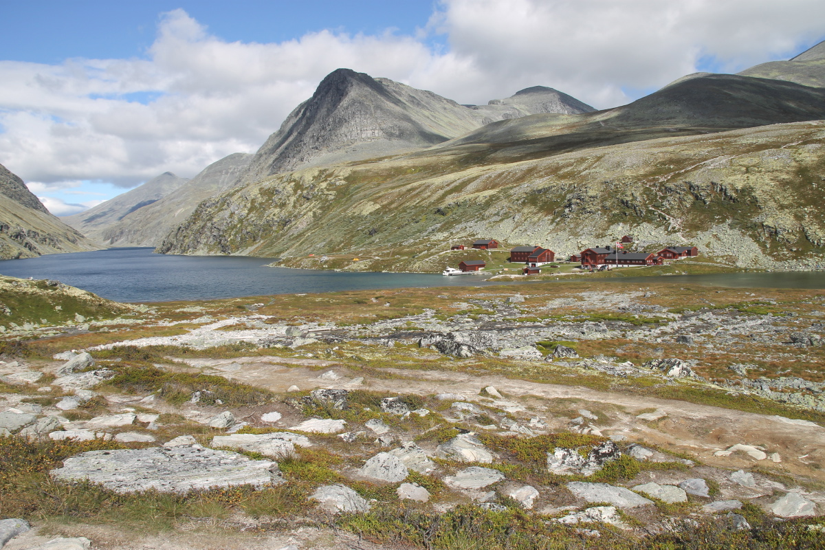
Lee on the track,
lake and huts in view |
Rondvatnet (lake),
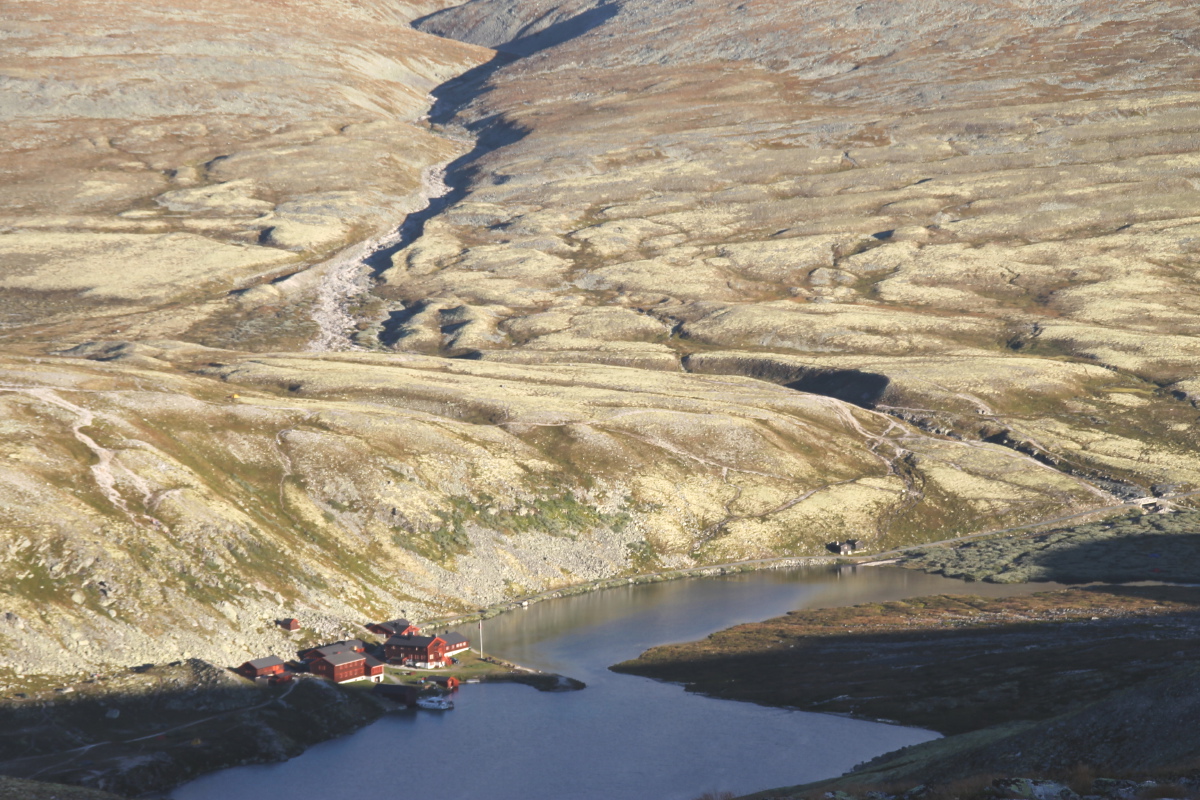
Rondvassbu (huts) |
|
|
|
|
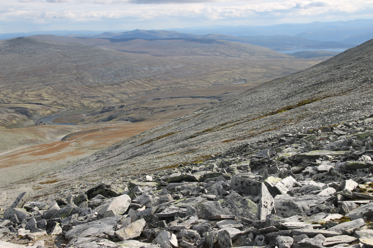
Now up 750m,
looking back SSE
over our track |
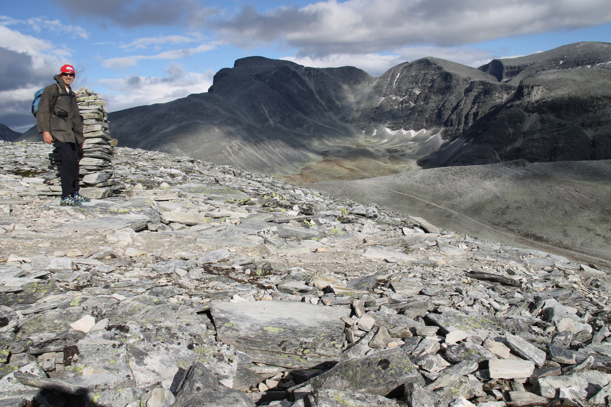
Rondslottet (2178m),
and its cirque |
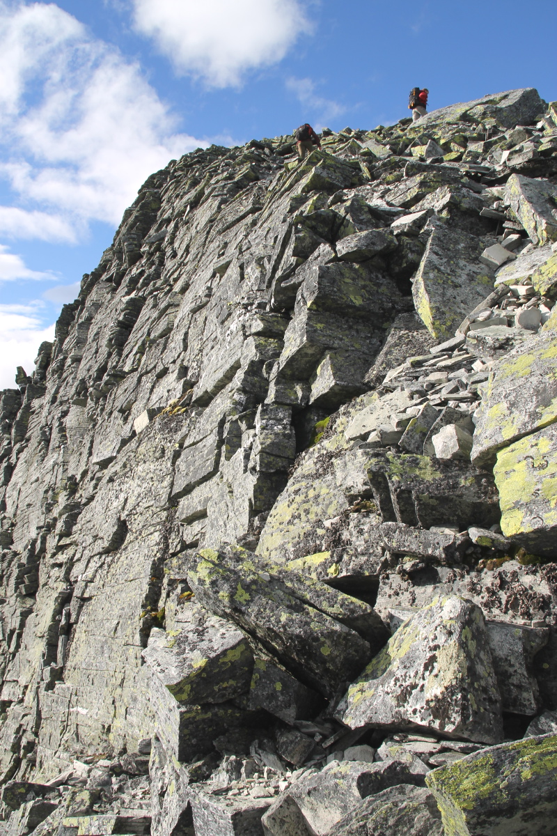
Looking up at
the last 150m |
And at the last 20m |
|
|
|
|
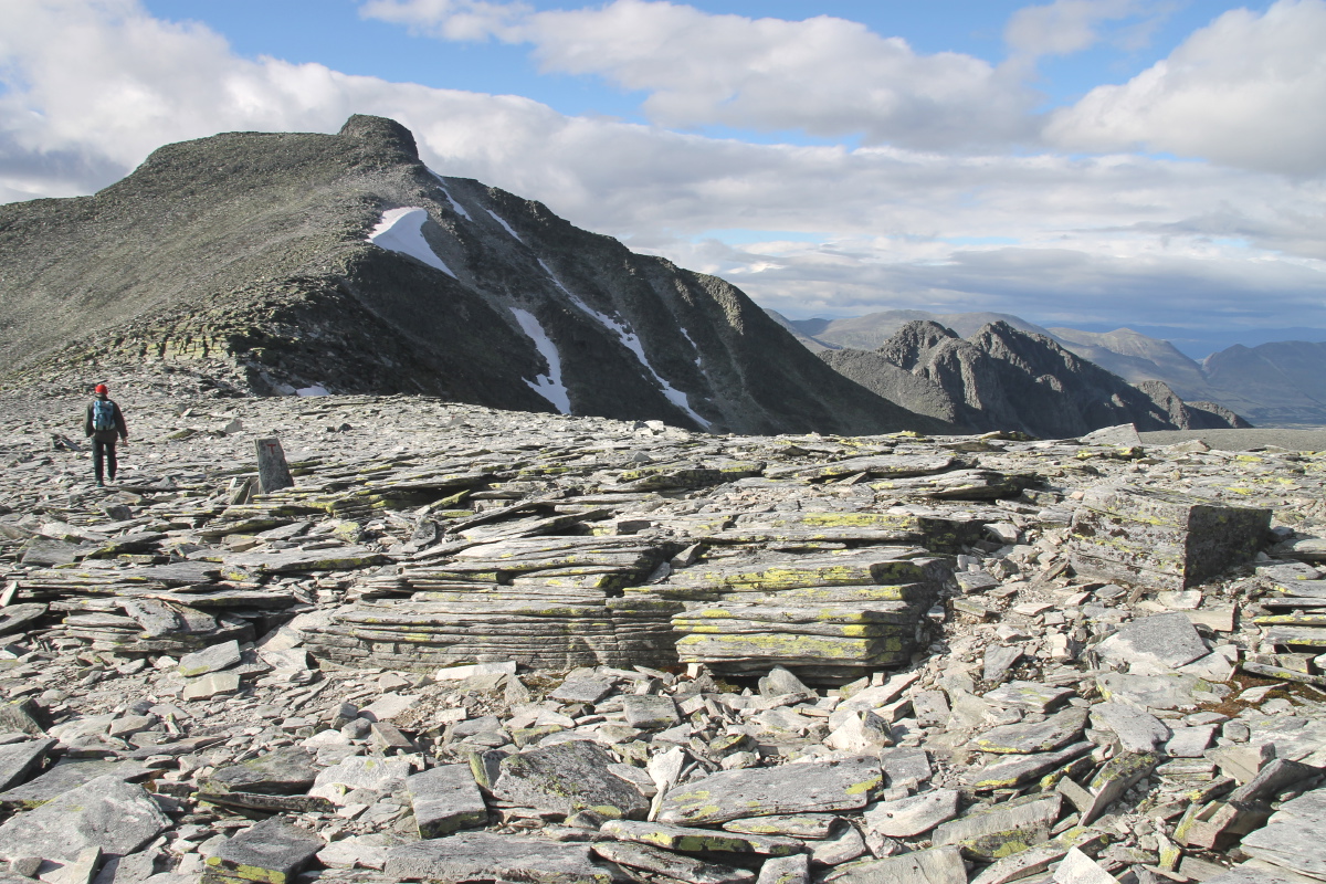
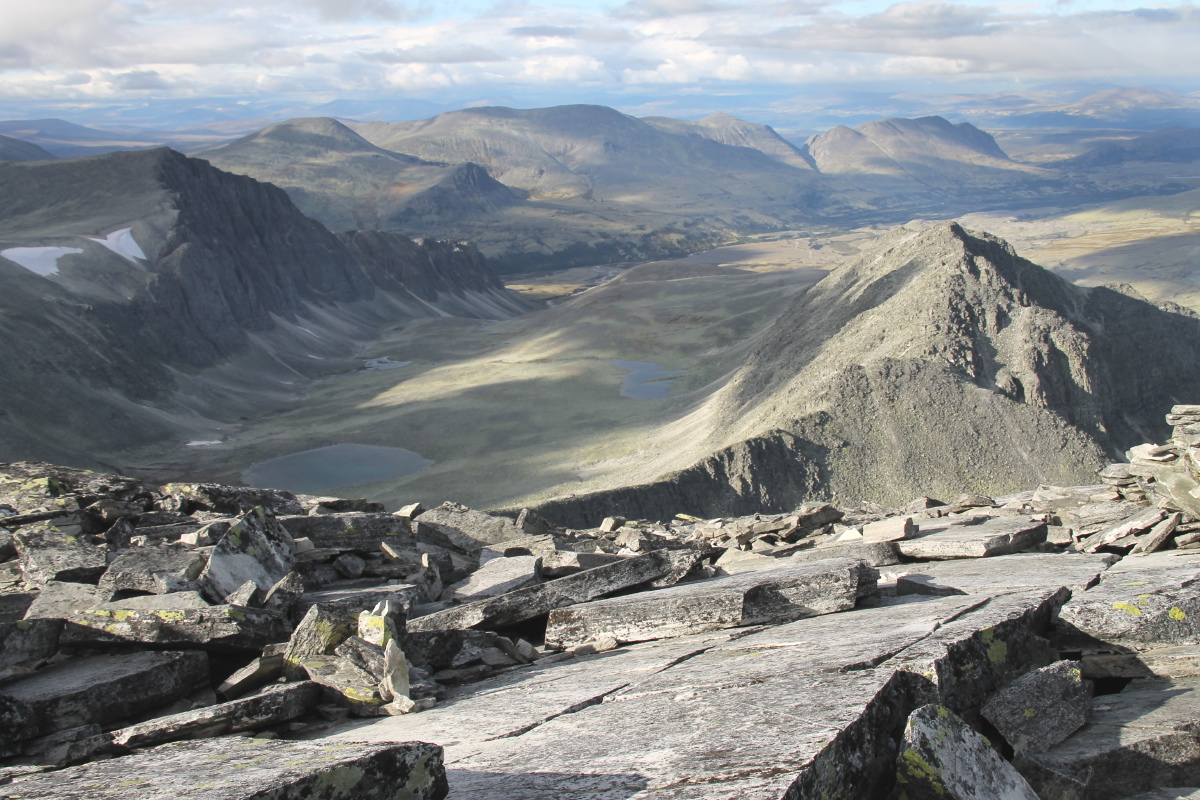
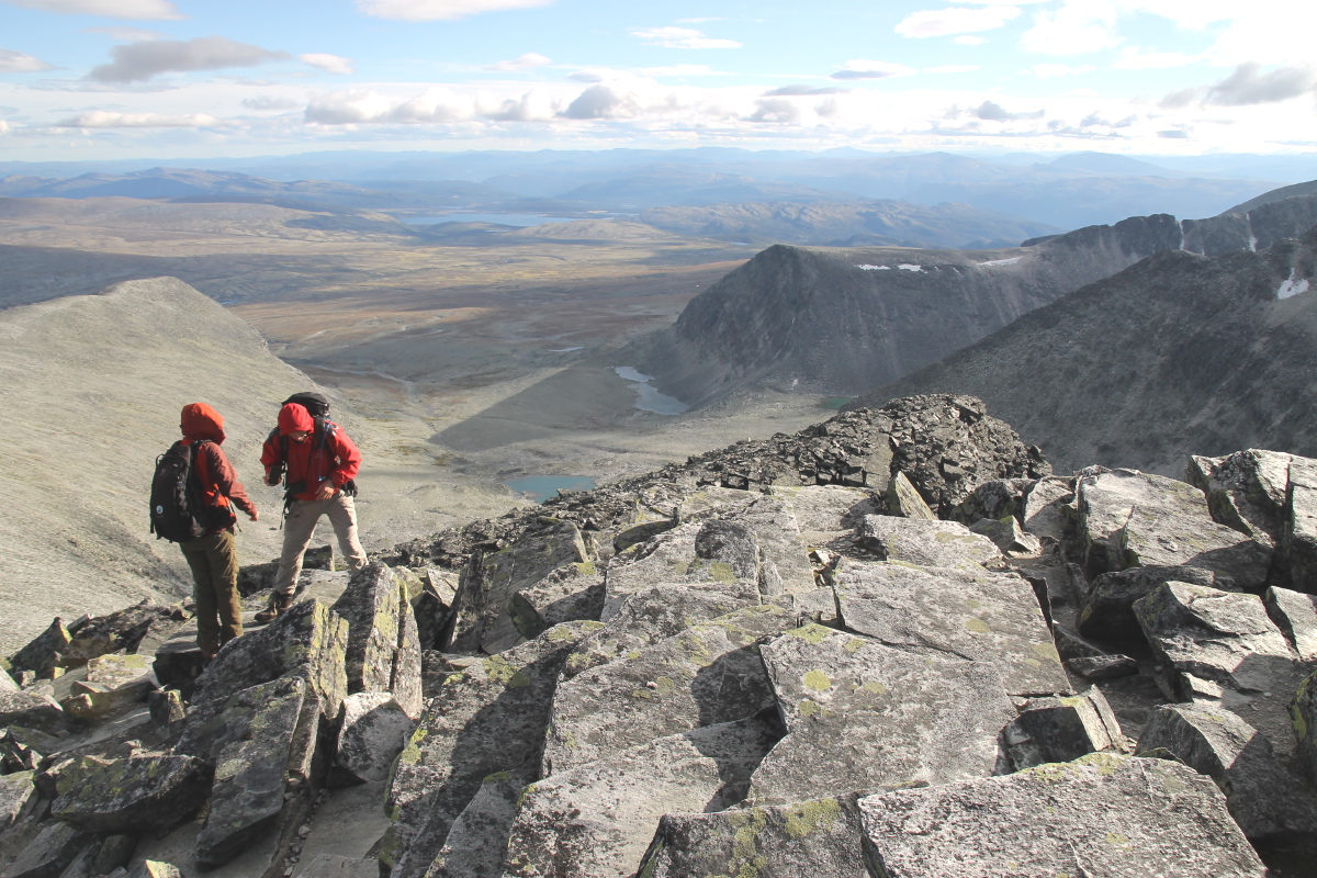
From the summit, NW |
And Northwards |
And SSE to
our start-point |
The last sunlight
on the huts |
Sunday morning, I did the rather easier 200m up the adjacent Holtjønnpiggen
(while Lee, walking much faster, searched for late-season
cloudberries):
|
|
|
|
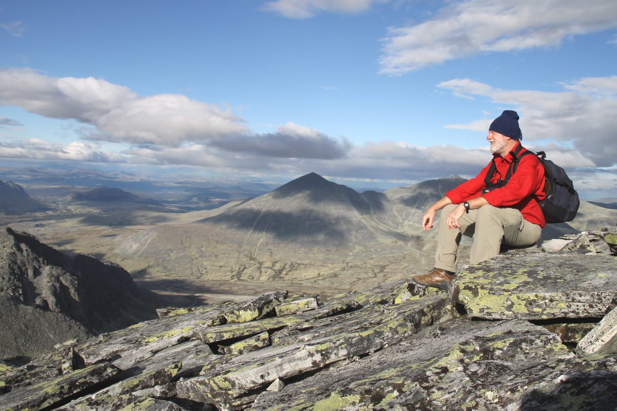
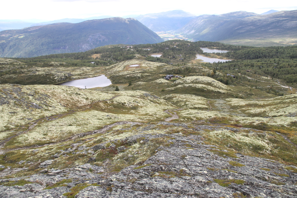
The peak,
from the hytte |
From the peak,
over the hytte,
to NW of Otta |
Same angle,
with zoom,
hytte low-right |
Looking NNE to
yesterday's mountains |
This is a page within the Clarke-Spinaze Photo Gallery, home-page here
Contact: Linda or Roger
Created: 7 June 2016; Last Amended: 5 September 2016


