(Mostly) Mountain Walks – 2019
14 walks, totalling 137km and +/-7460m
Many were less challenging than in previous years, in part constrained by the opportunities in each area; but we finished with two good ones of 830m and 1200m
Click on any image to see a larger version
Sicily
As training, we did 2 x 8km days on the flat in Palermo, 1 x 8km day, with +/-100m, in Monreale and Soluntum, 1 x 8km day, on the flat on Phoenician island of Mozia, and 2 x 8km days in Selinunte and Agrigento (incl. +/-100m)
As walks, we did:
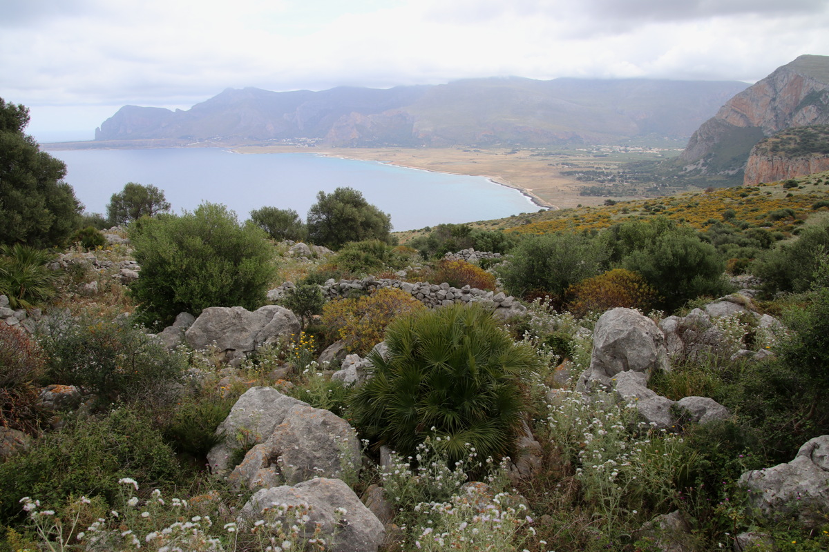
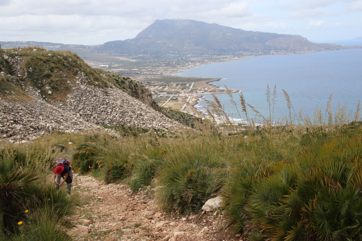
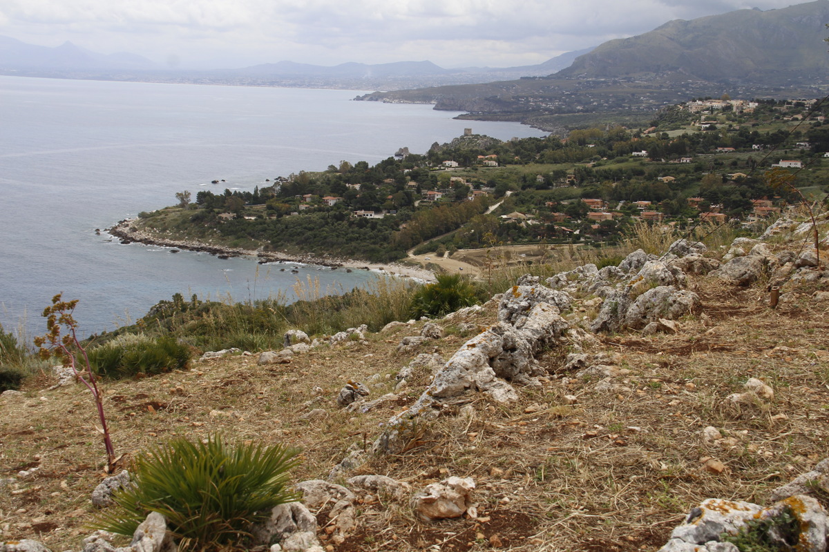
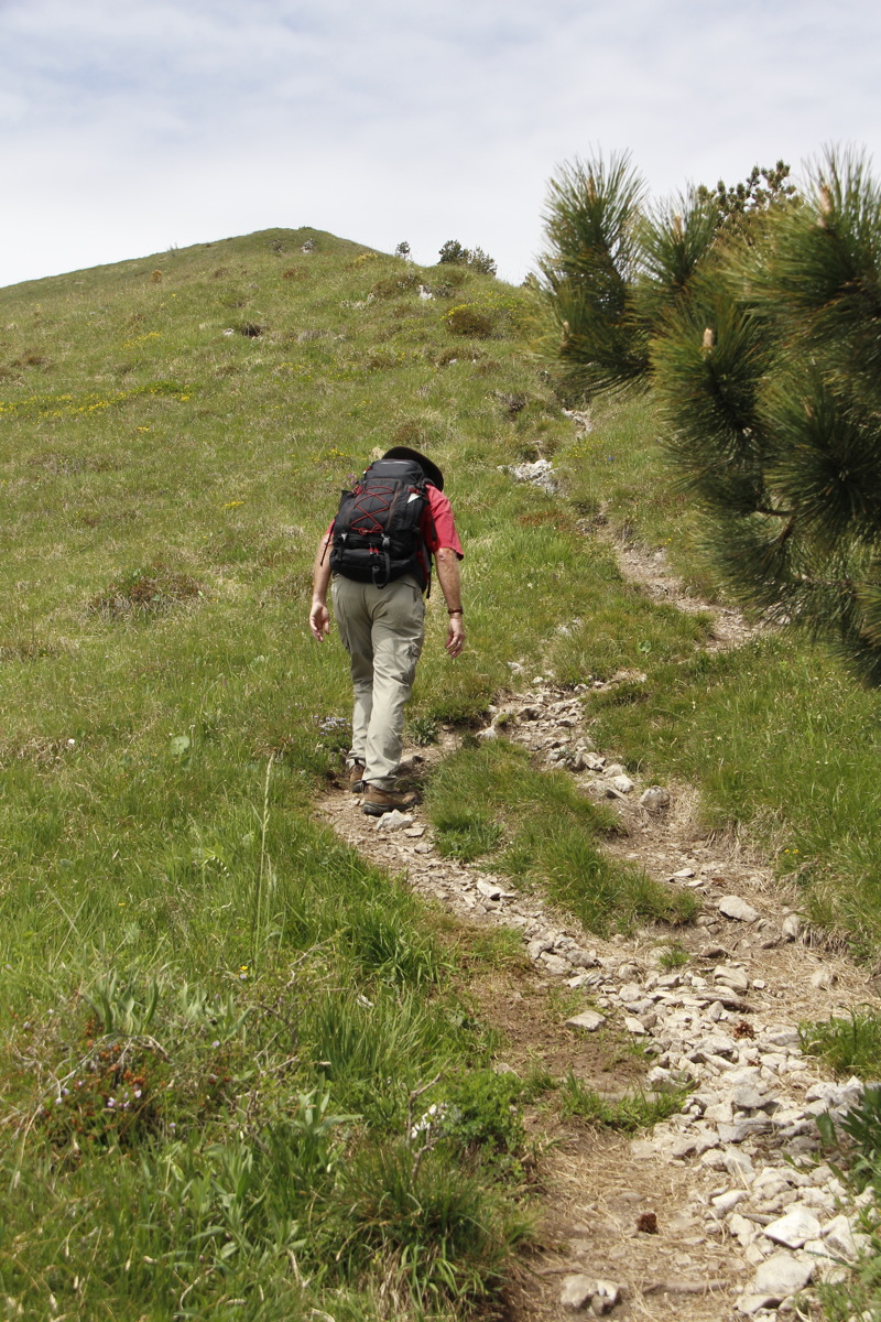
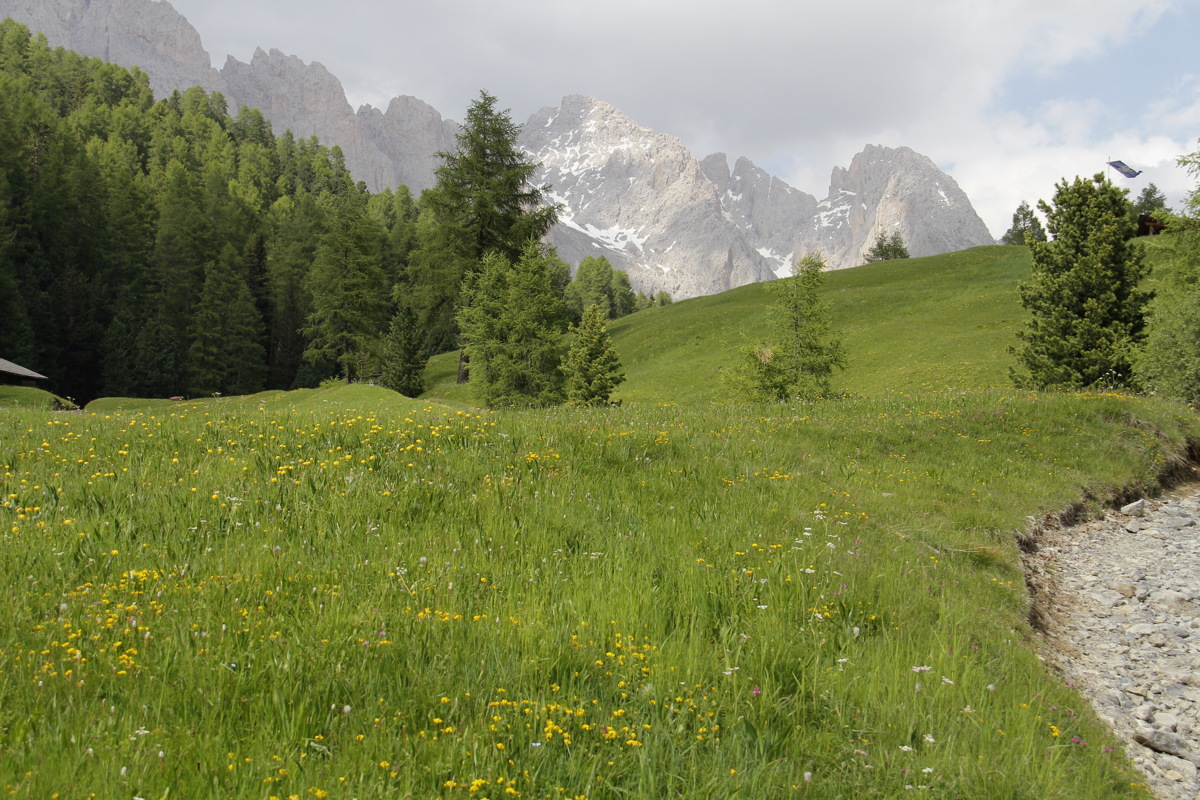
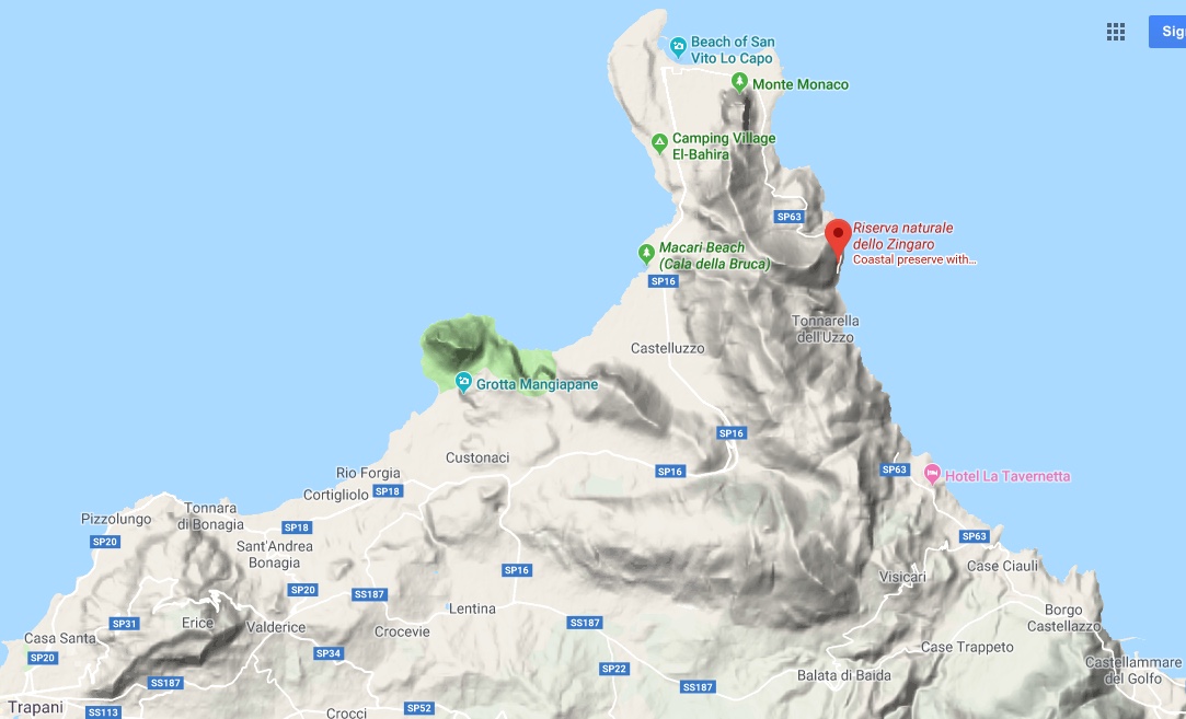
Wed 15 May – Far North-West – 13km and +/-750m
We did two short walks on the same day. Here's a map of the area showing Erice (West), Cofano (green, centre), Zingaro (East)
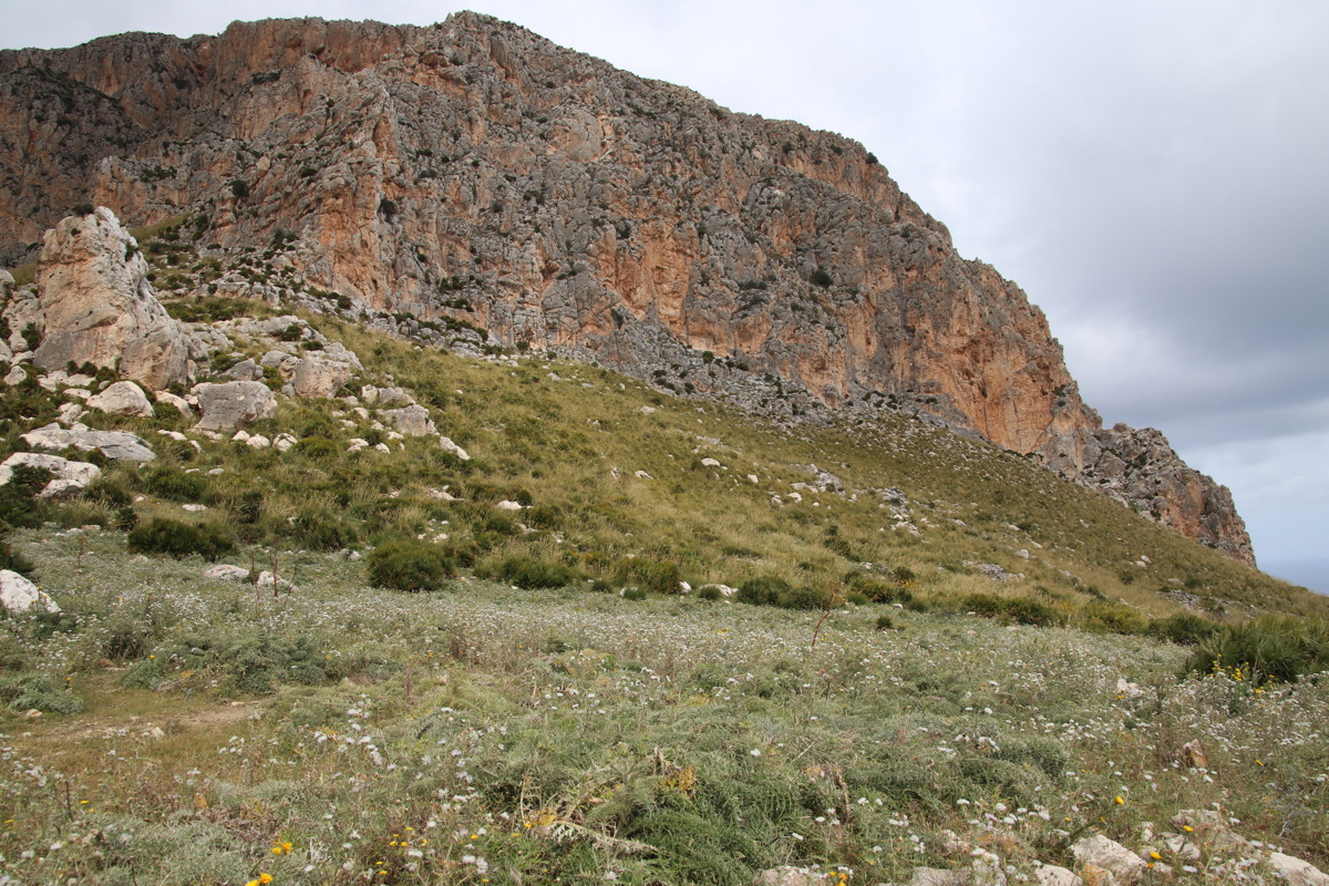
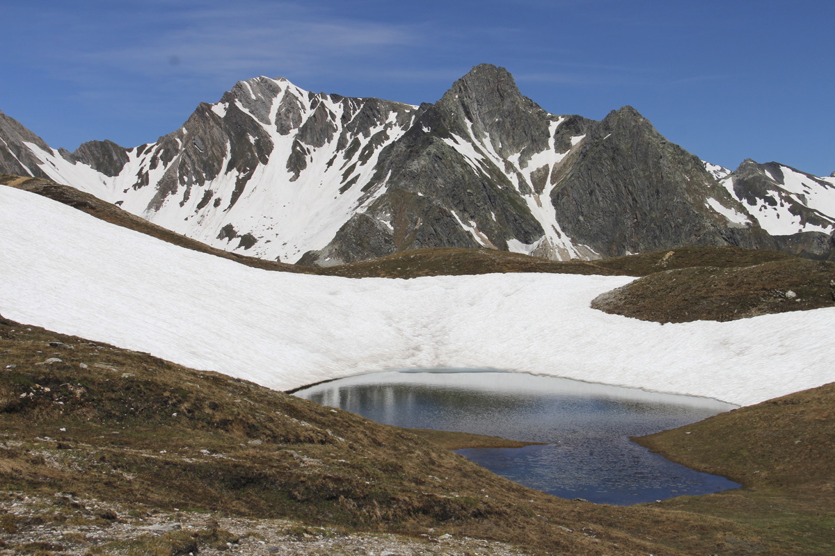
Monte Cofano - 2km and +/- 220m to the saddle and a little up and down the other side incl. the gorgo (lake, not gorge)
|
|
|
|
NE towards
Zingaro Peninsula |
SW towards Erice (850m) |
The Gorgo (Lake)
at the saddle (270m) |
Looking across the Gorgo |
|
|
|
|
The saddle |
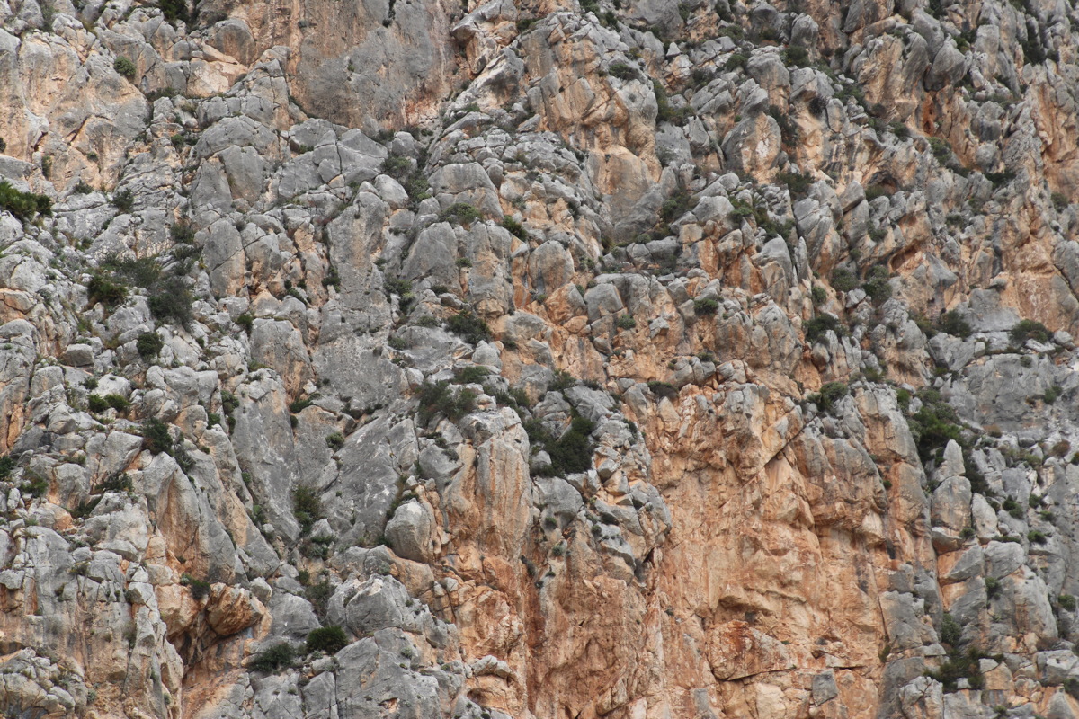
Monte Cofano
(660m) ... |
... detail |
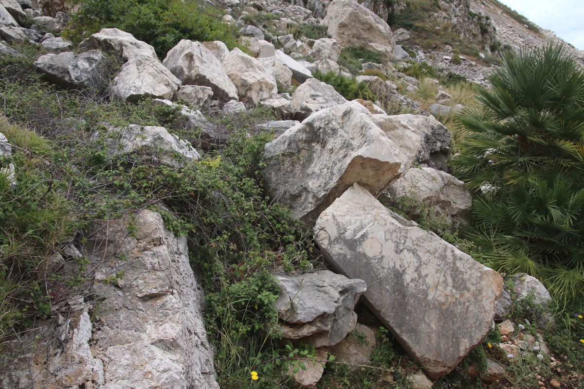
Discards from the
adjacent marble quarry |
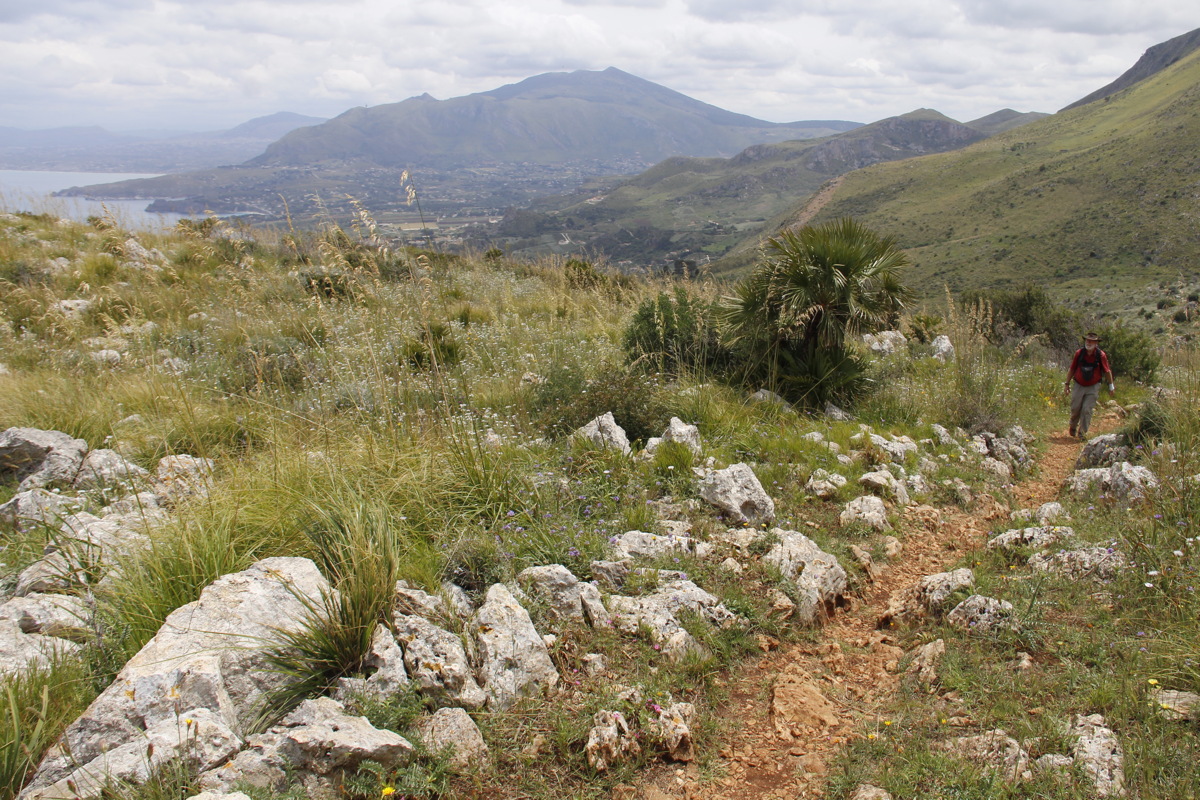
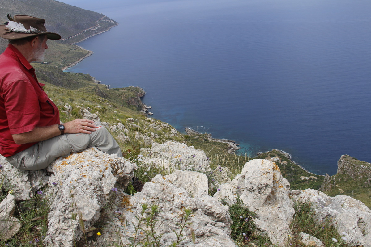
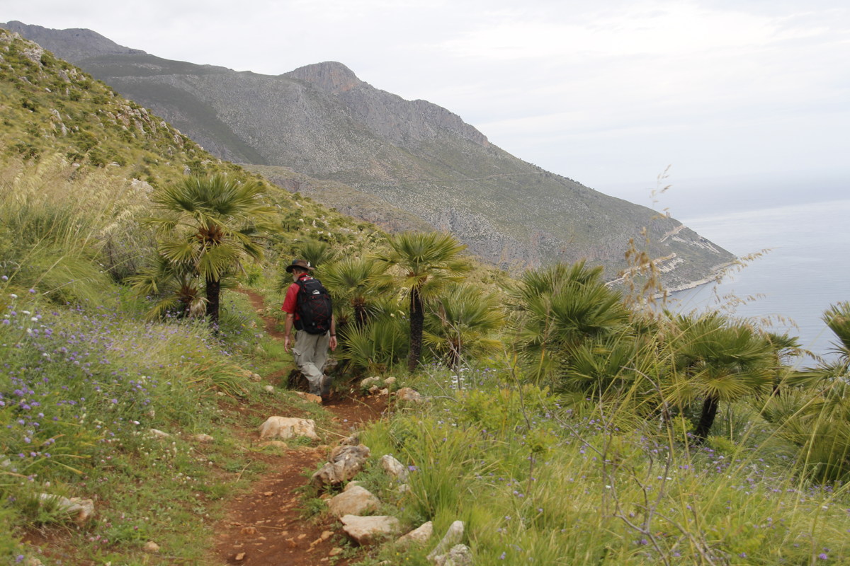
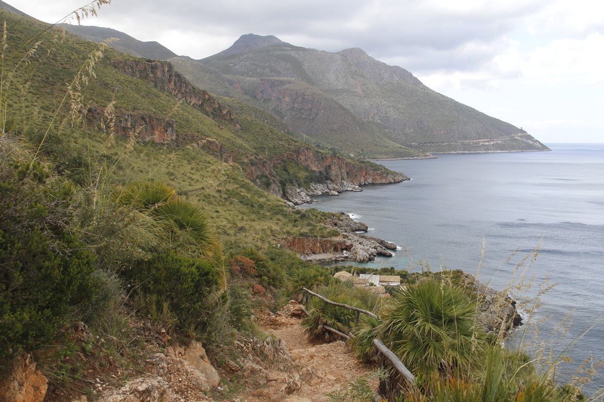
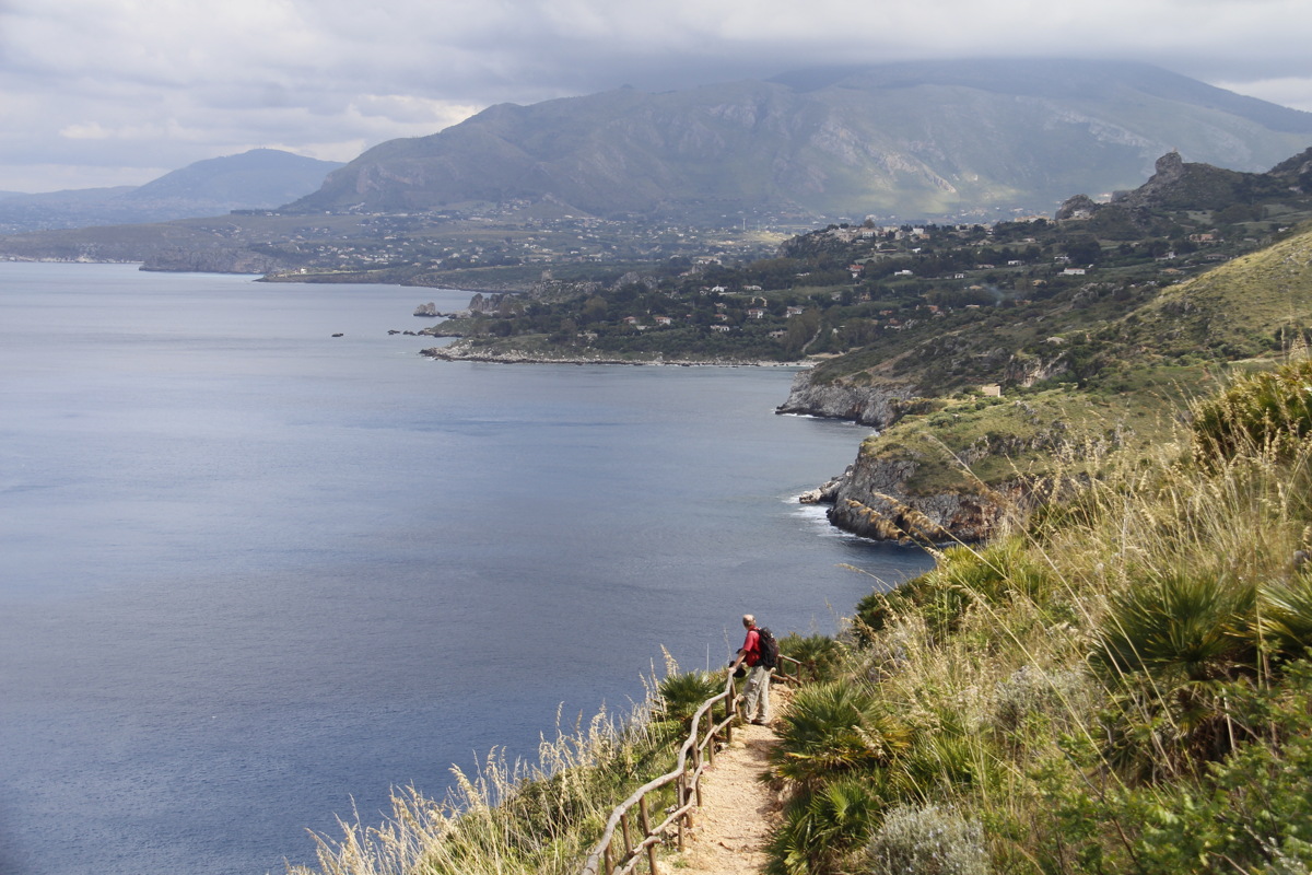
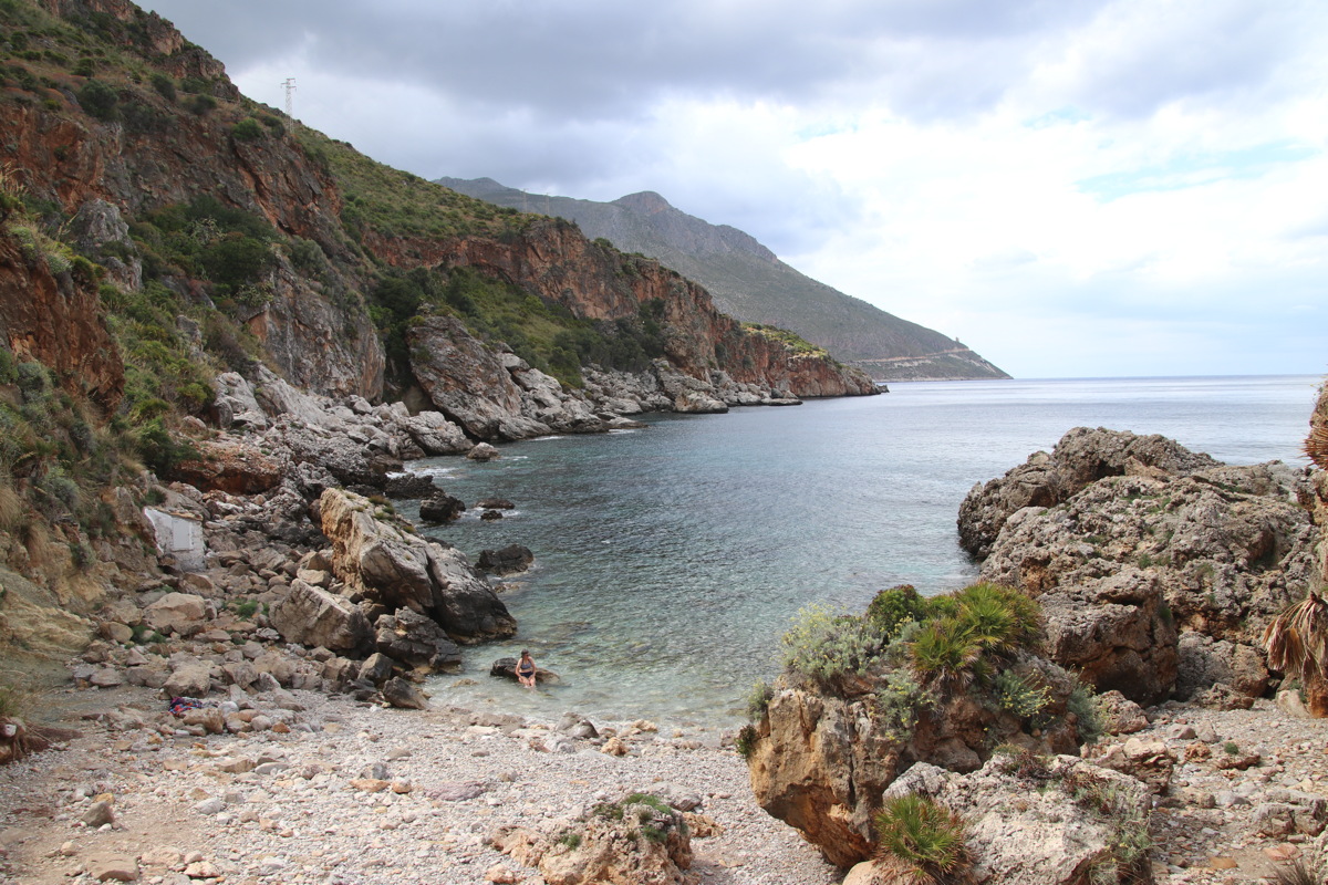
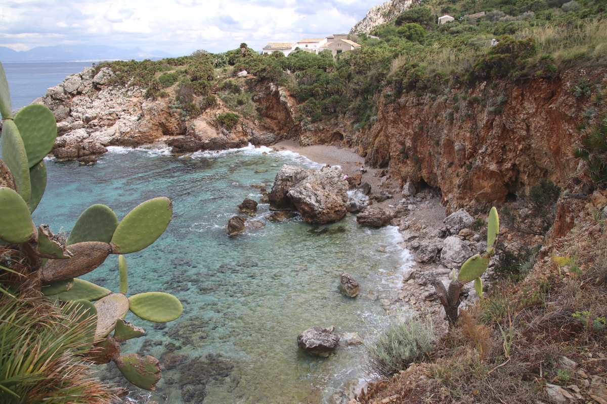
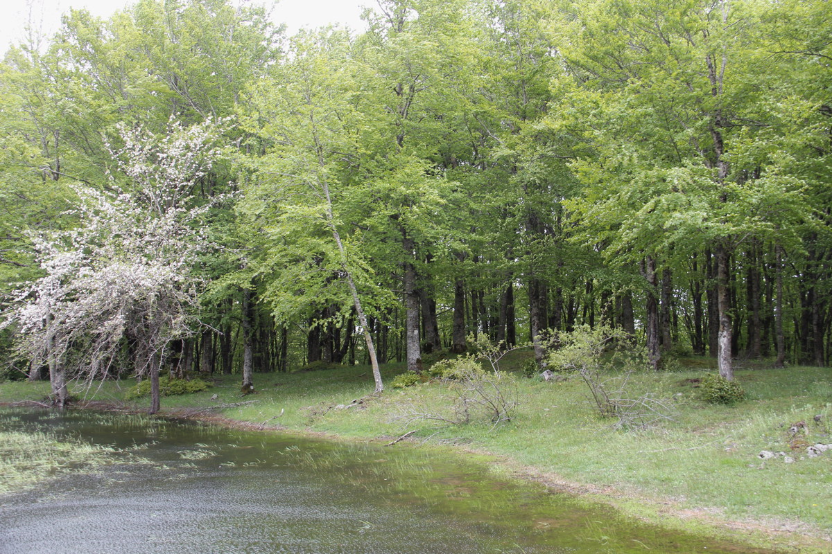
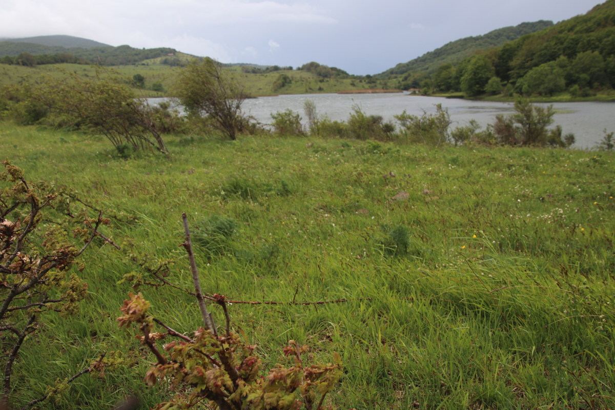
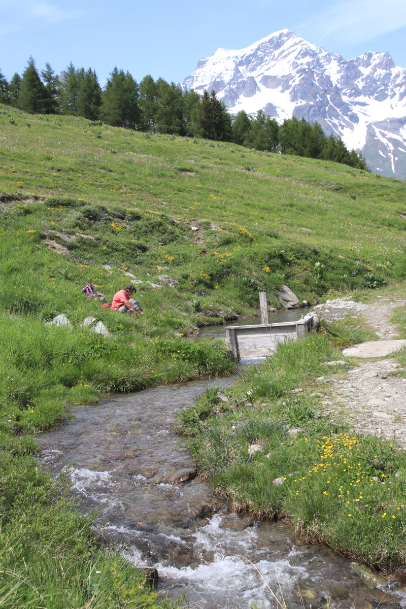
Riserva Zingaro – 11km and +/-530m up along the mid-level 'orchid walk' and back along the coast path
|
|
|
Perfect – a walk that's
hard, floriferous and informative |
Looking back S
along the coastline |
Our mid-level path,
again looking southwards |
|
|
|
The lunchspot, looking
south (and down) |
The path, northwards,
with dwarf palms |
View northwards,
descending to the coast |
|
|
|
The coastal path back |
First cove - cool
but a lovely dip |
Second cove |
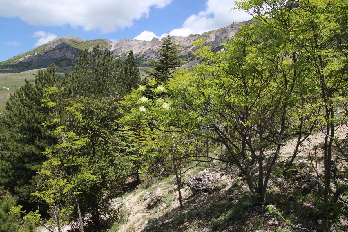
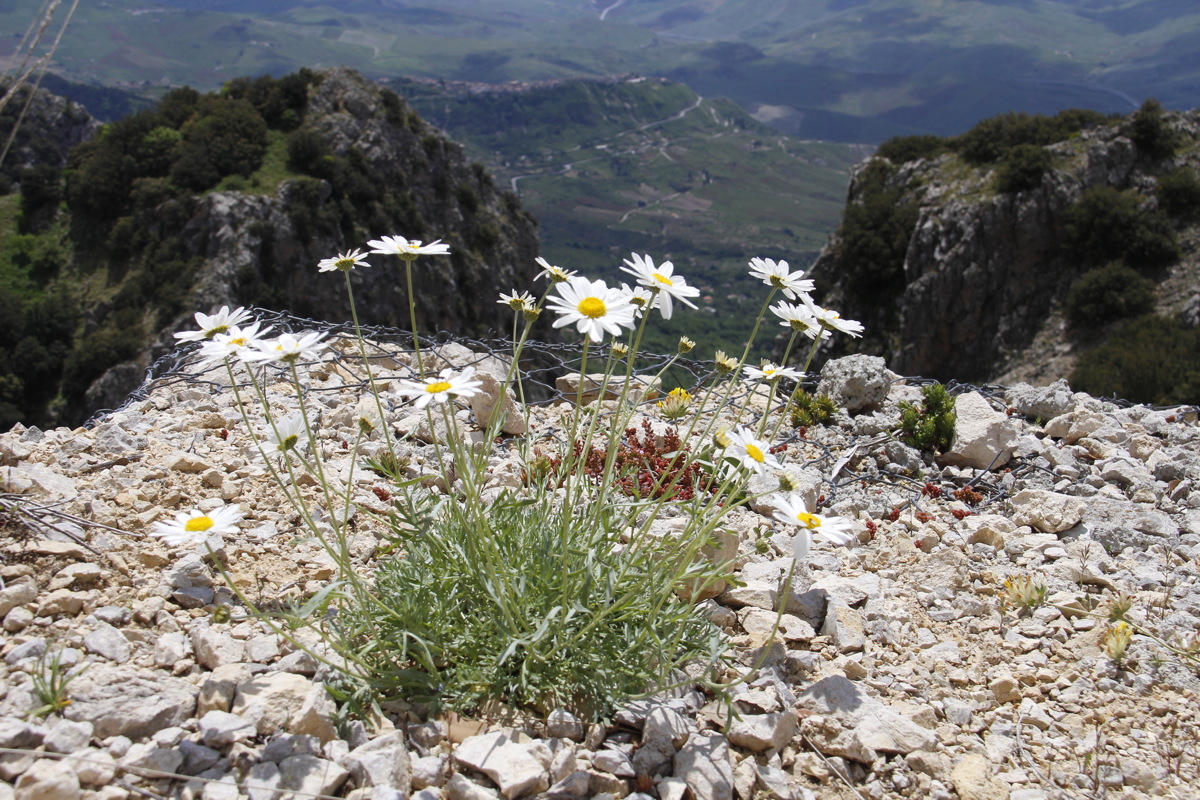
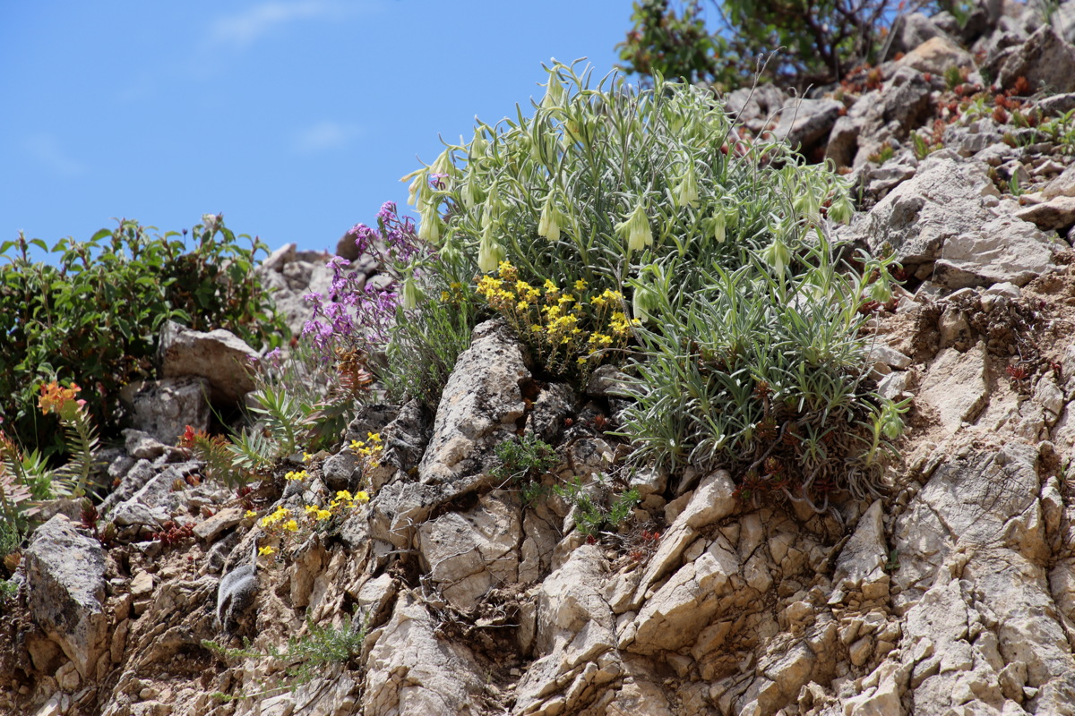
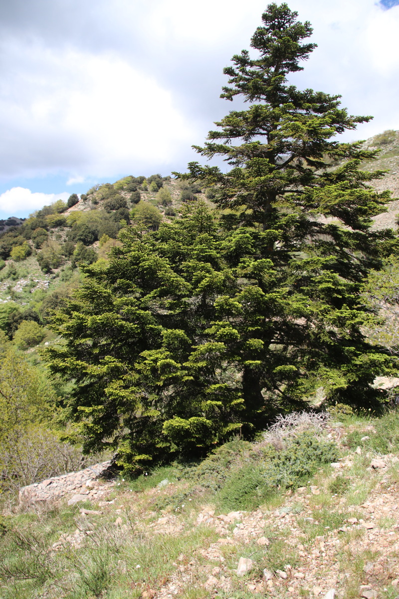
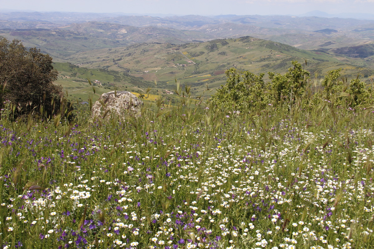
1 hour's drive NW from Enna, in the southern Madonie, 5km north of Polizzi Generosa, walking from 1240m to 1606m, eastwards towards Monte Salvatore, through forests and woodland, incl. oak, beech, a rare endemic fir, and a lot of flowers, quite a few of them endemic as well
|
|
|
|
The Range Above |
The Soft Limestone |
Looking back to
Polizzi Generoso |
Looking ... |
|
|
|
|
... Finding |
A Daisy's View |
One of many natural
rock gardens (incl.
three endemic species) |
Abies nebrodensis,
endemic and down to
30 specimens, here ... |
|
|
|
|
... Lunch near another |
A gully adjacent
to the walk |
Who said geological
timescales are slow? |
Polizzi, and an
approaching spring shower |
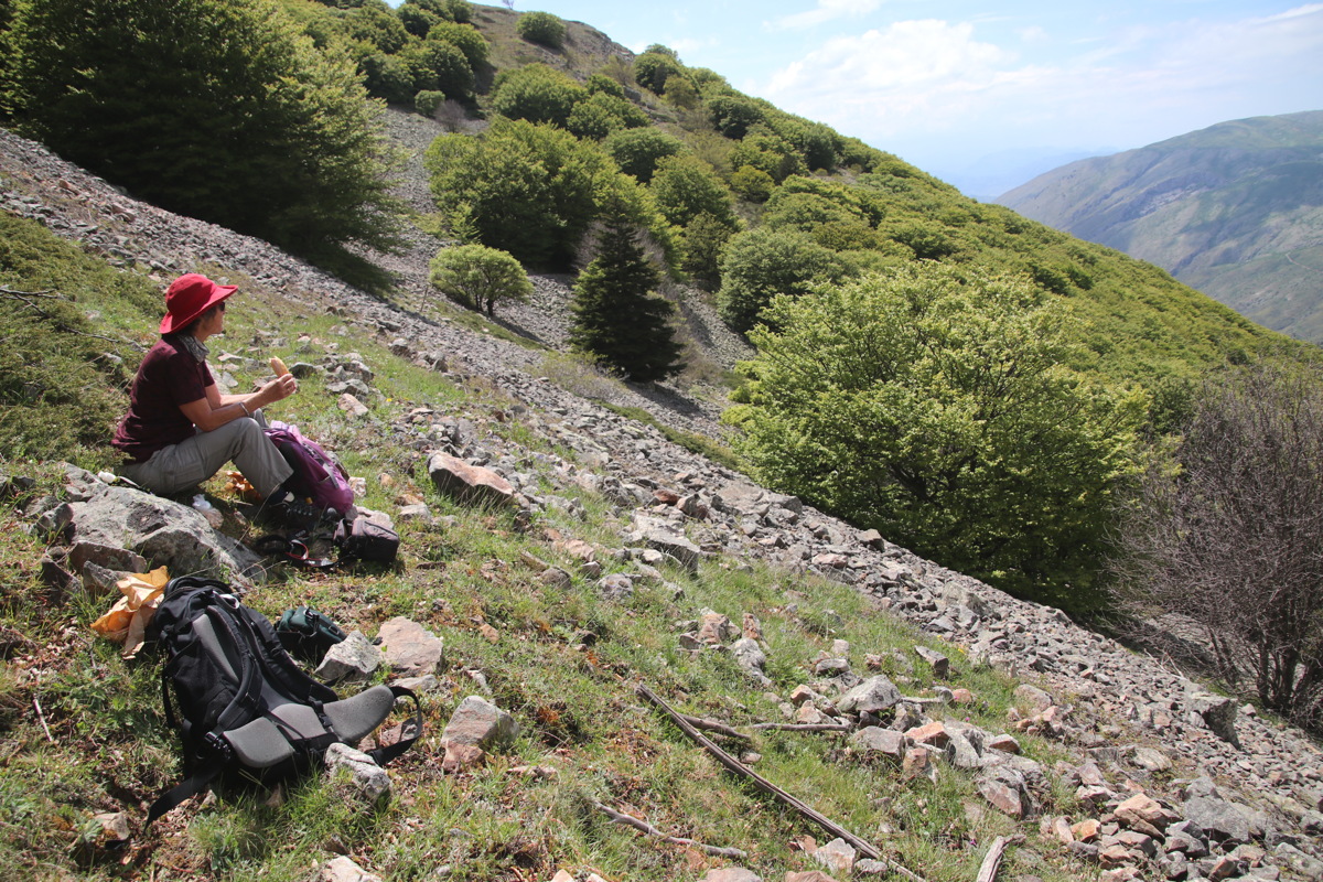
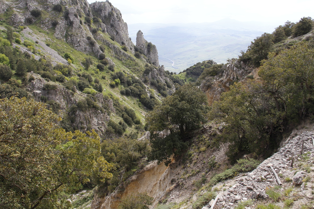
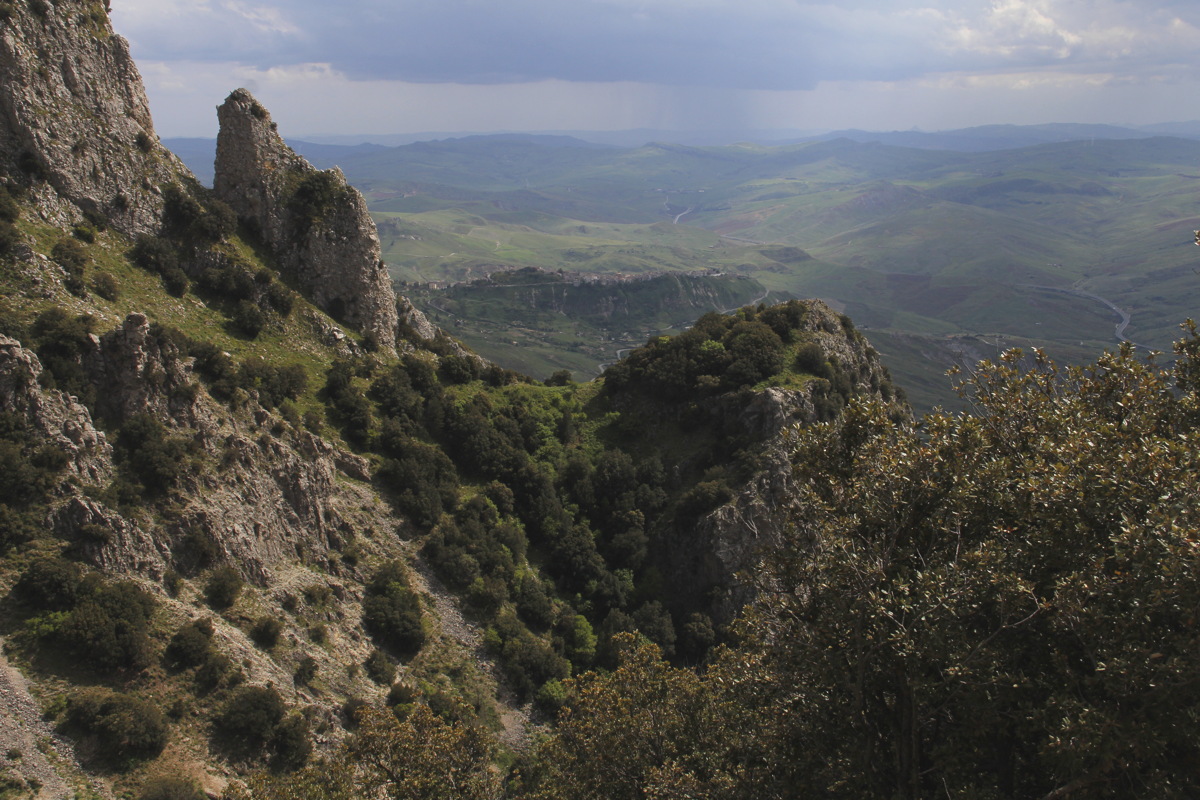
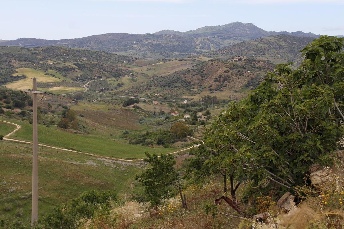
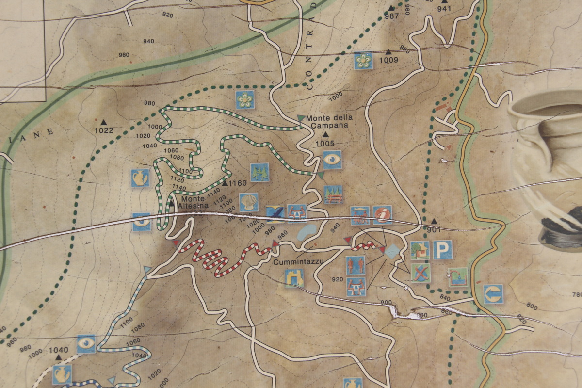
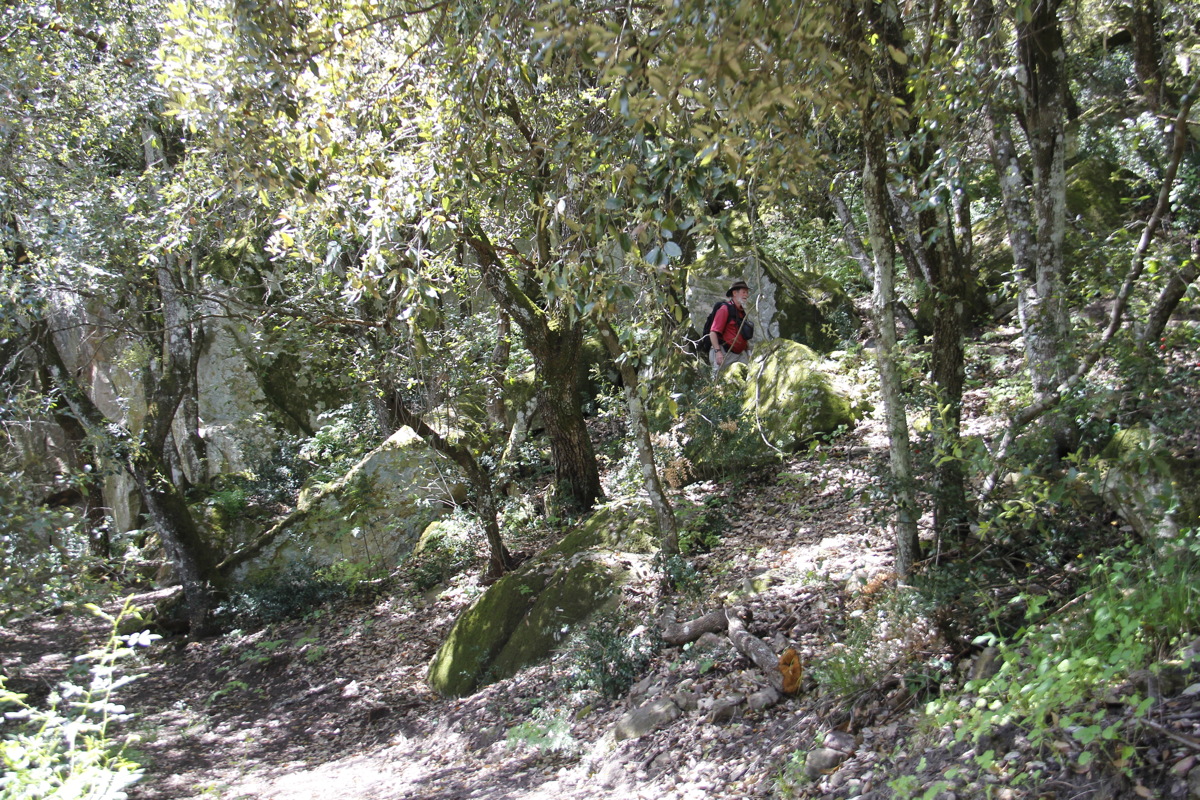
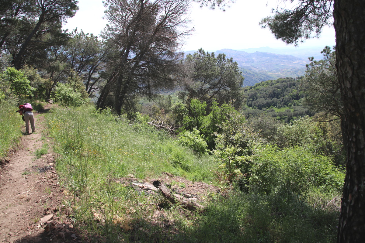
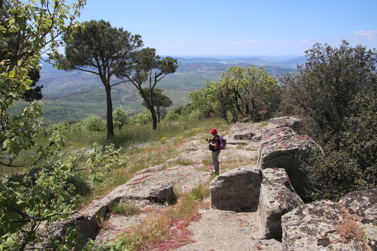
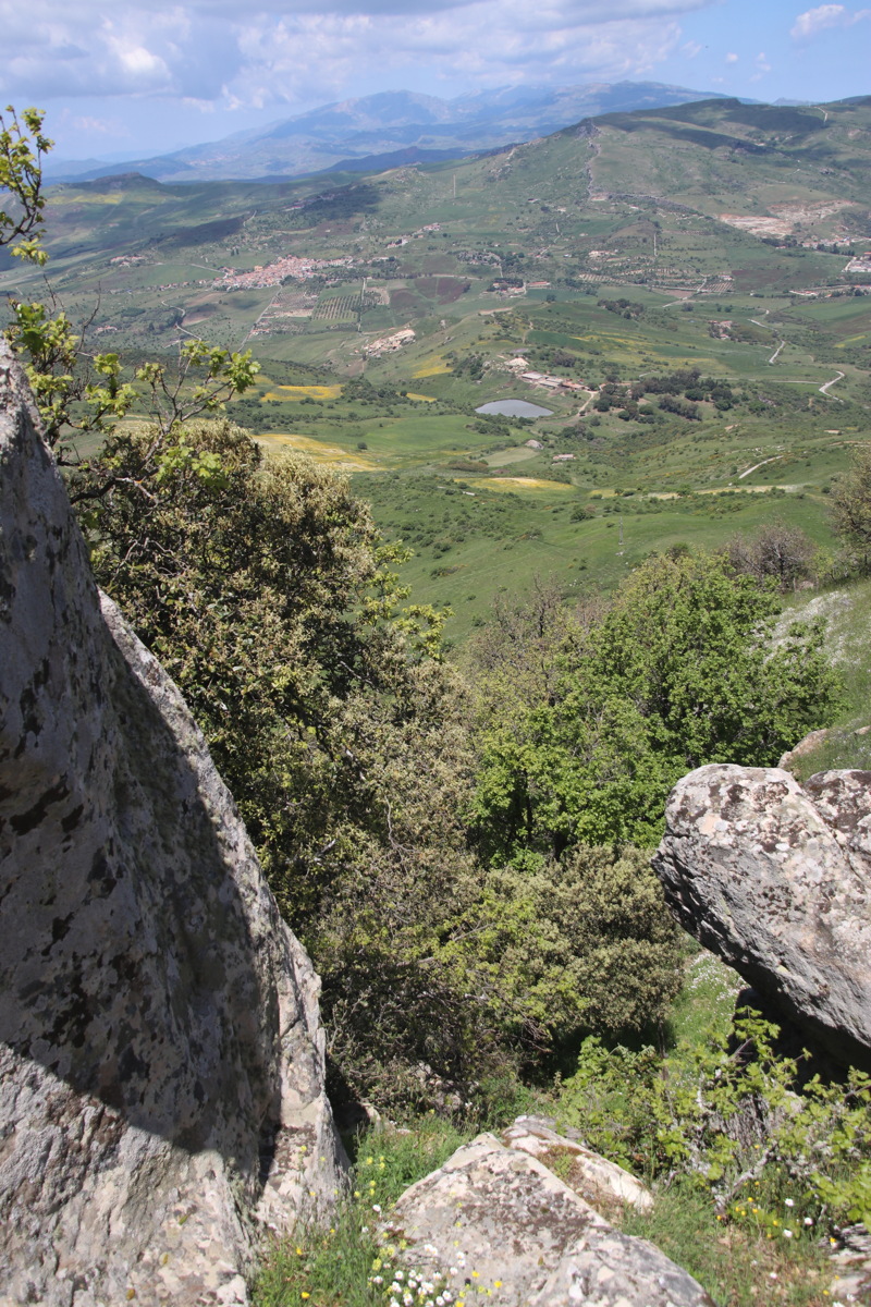
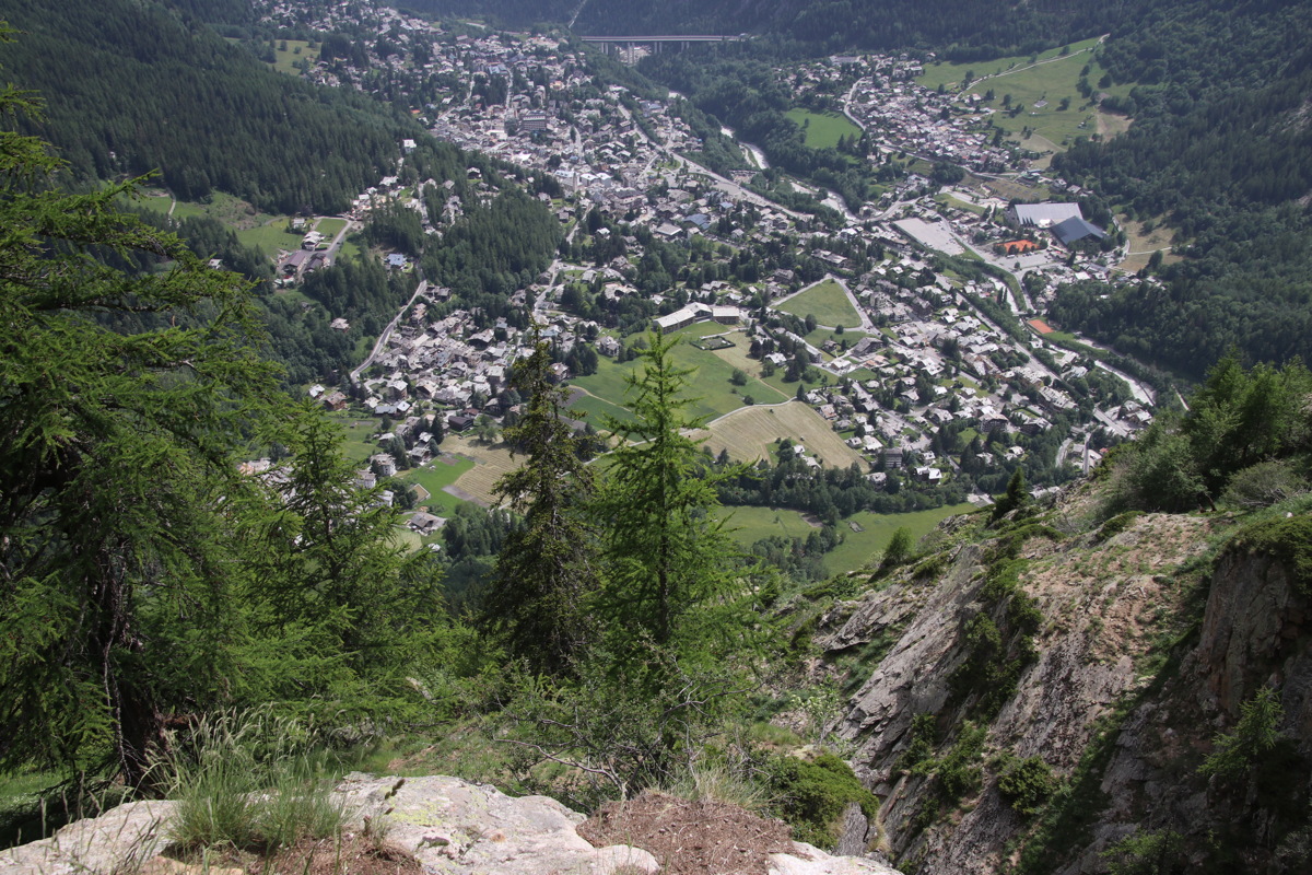
Thu 23 May 2019 – Monte Altesina – 5km and +/-350m
45 minutes' slow driving N of Enna, then a direct walk W up through oak forests,
with excellent views from the top because it's right in the middle of Sicily
|
|
|
Altesina is the green area
just N of Sicily's centre |
Seen from the E,
(Leonforte), high right |
We walked from the road low right,
westward incl. the red-and-white track,
back via the outer green-and-white track (Monte della Campana) |
|
|
|
Forest and Rocks early |
The track at mid-level |
A little higher, woodland |
|
|
|
|
And barley survives there |
View S to Enna |
|
|
|
The view N |
The View SW |
The View W to the Madonie,
where we walked the previous day |
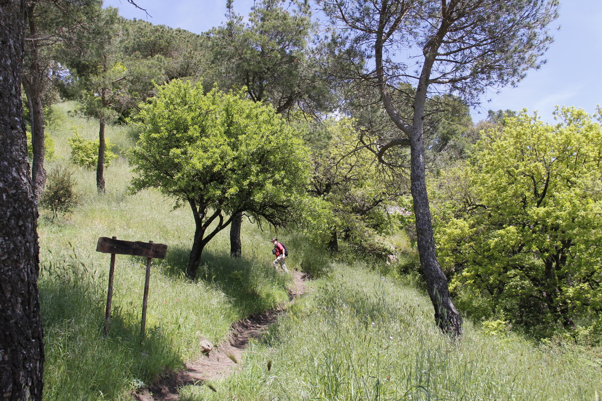
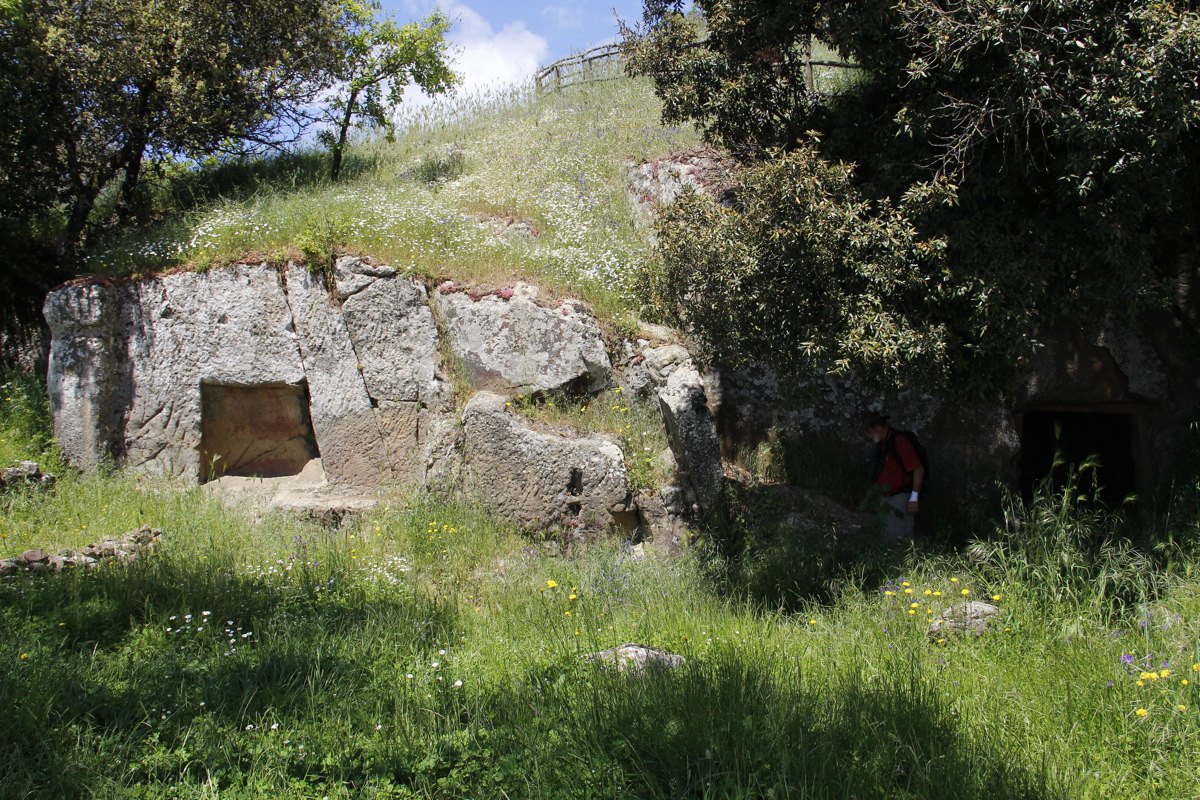
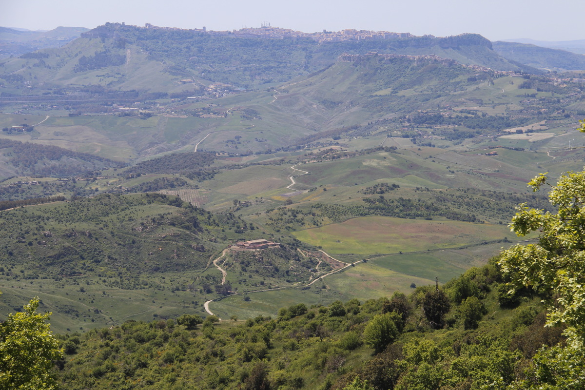
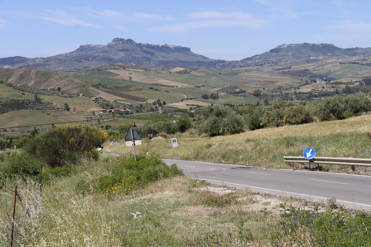
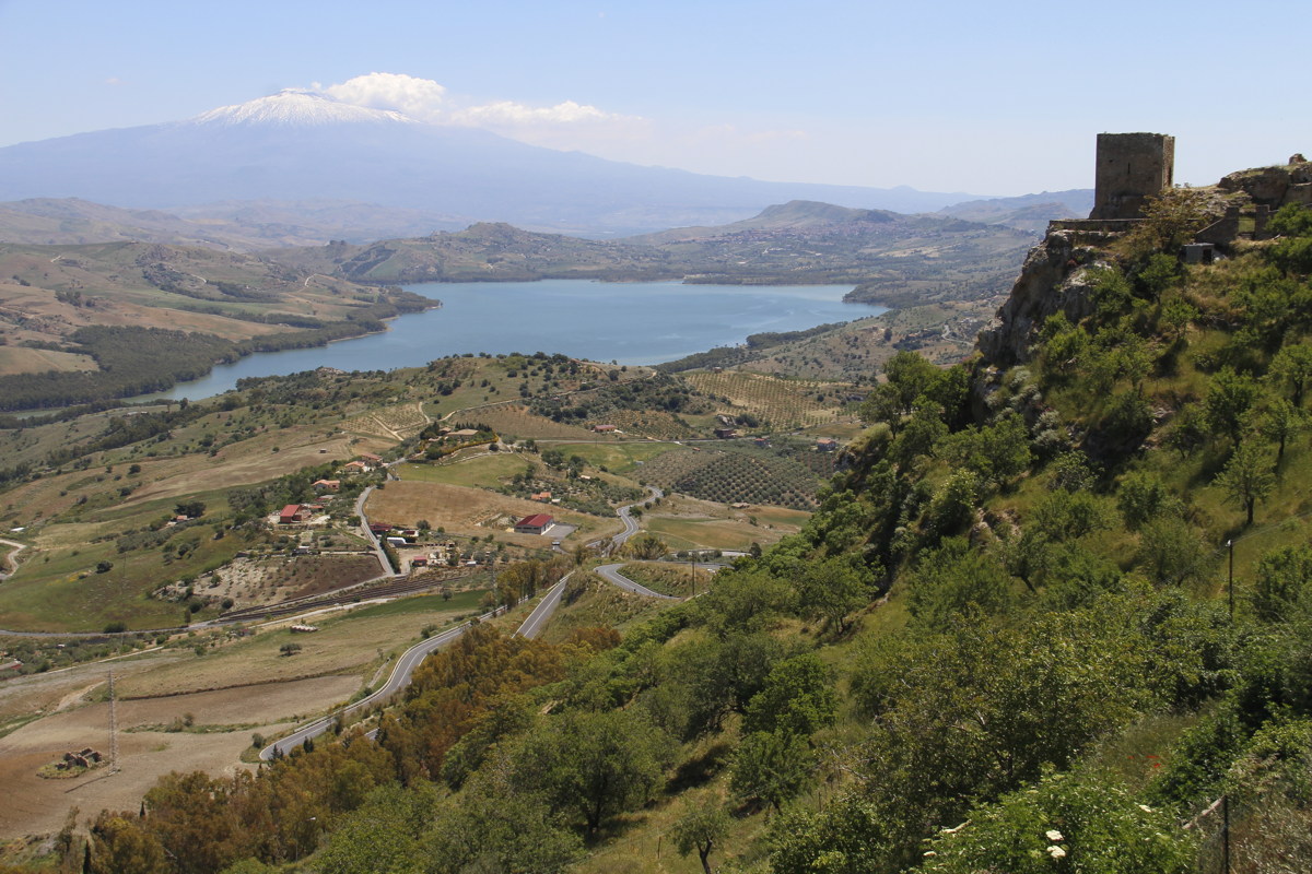
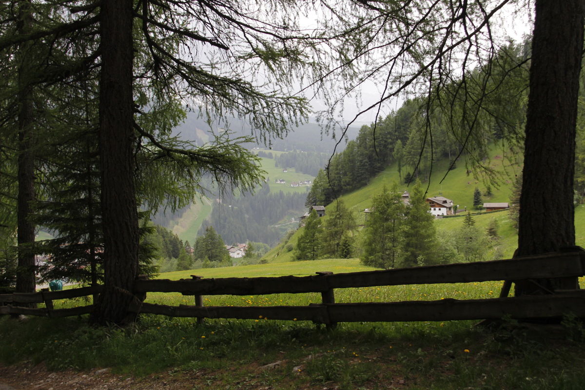
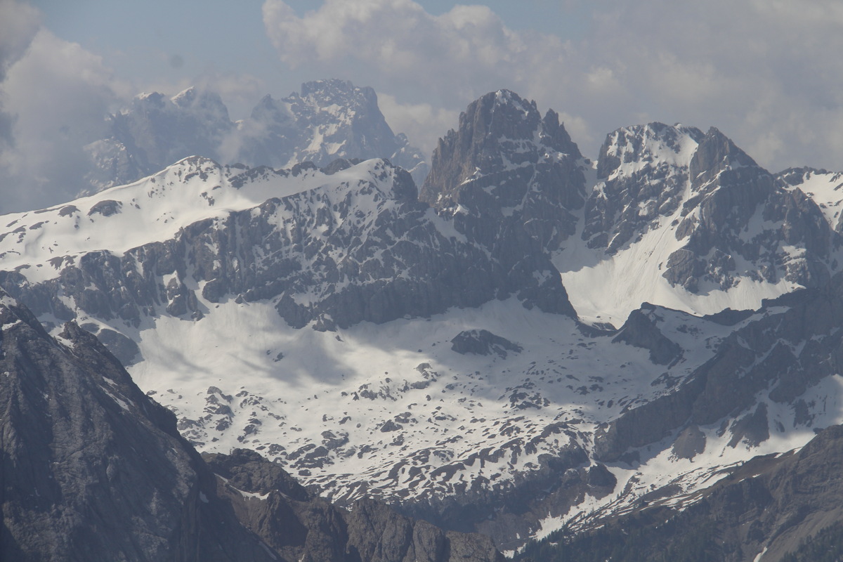
Sun 26 May 2019 – Nebrodi – 10km and +/-300m
But first the drive west from Enna and north to the southern edge of the range.
|
|
|
|
Looking back West to
Enna and Calascibetta |
Eastwards from
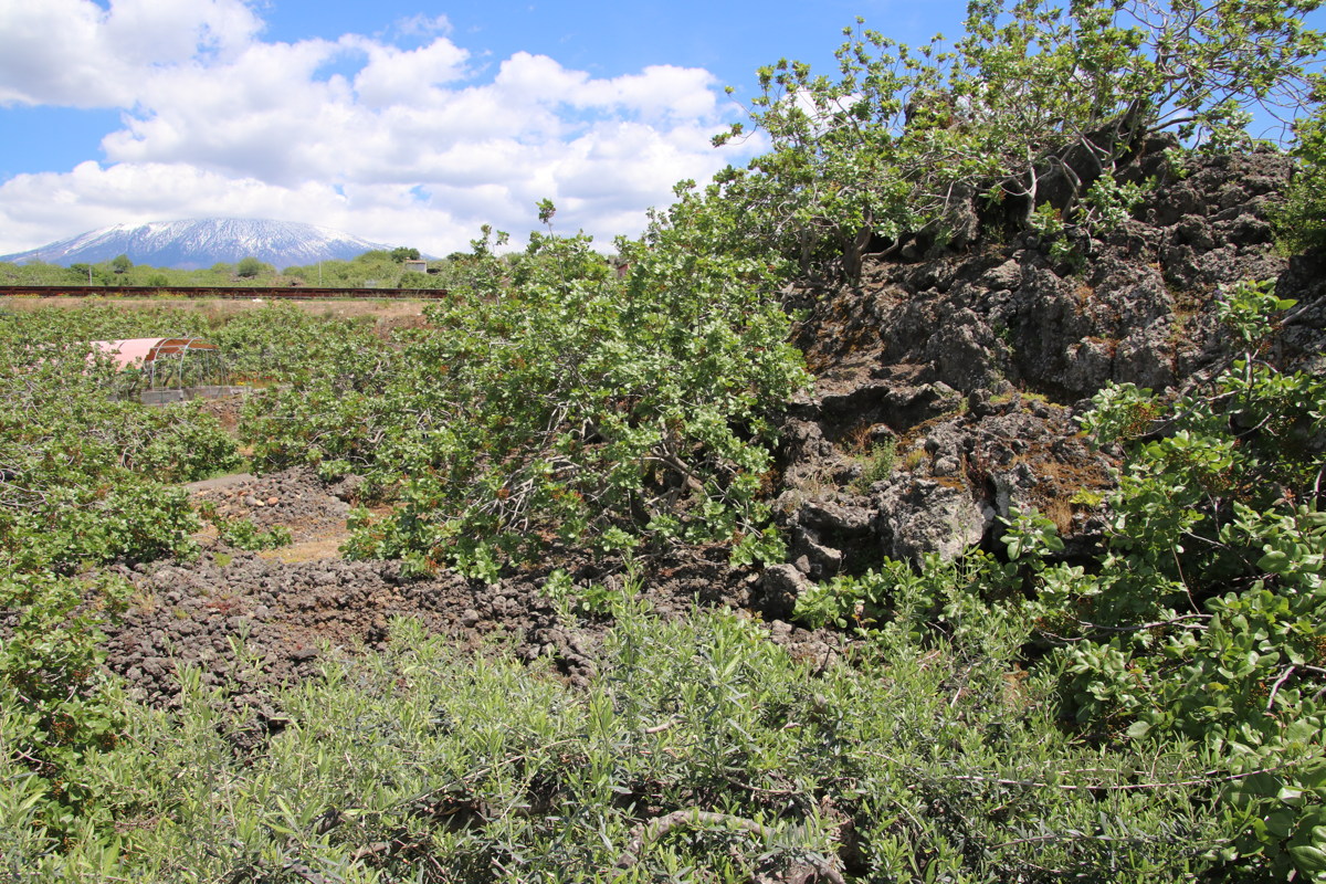
Agira to Etna |
Lava, its source, and ... |
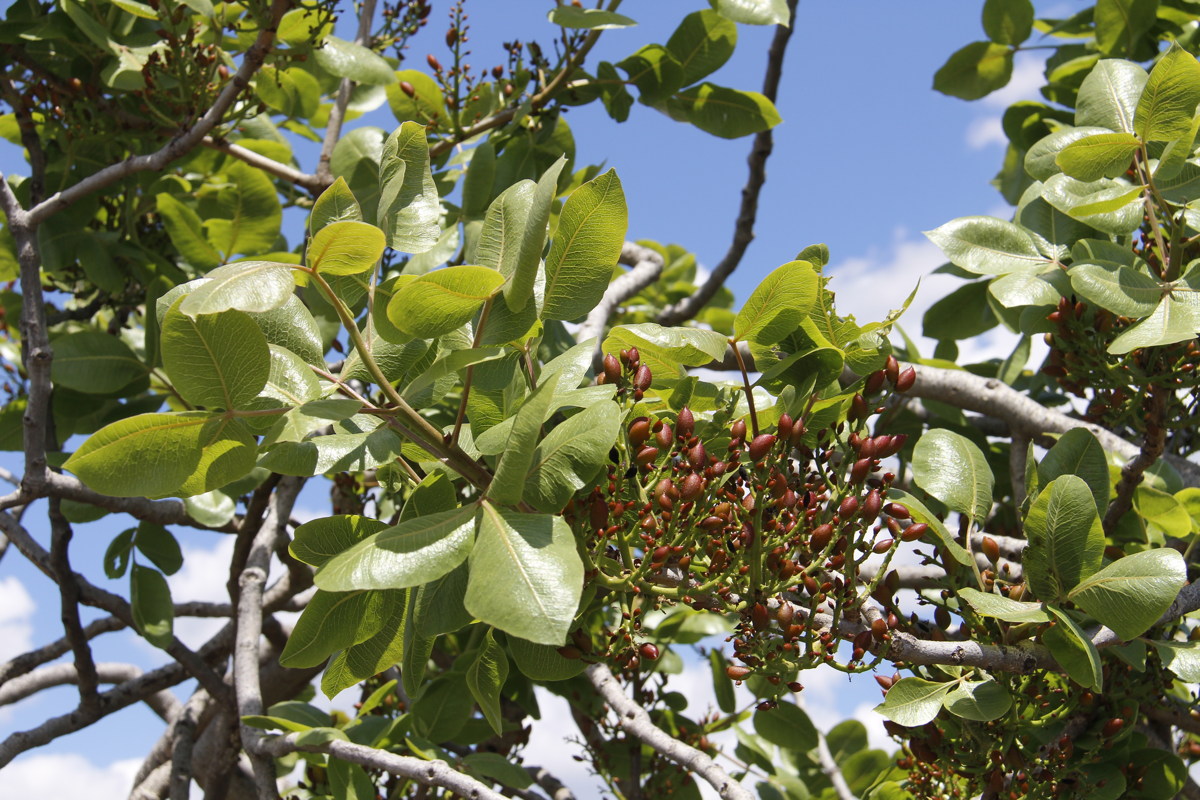
... real pistachio trees
Pistacia vera
(cf. cute P. chinensis) |
With the weather bad and not many good walks around, we toured and relaxed for 2 days, and just did one: Lago Biviere, adjacent to the highest peak Monte Soro, 1830m.
|
|
|
|
Early on,
Mt Soro above |
Pond |
Lago Maullazzo |
A late-unfurling (oak?) |
|
|
|
|
Hiding near the lake,
as gusts swept across |
Windswept Lago Biviere |
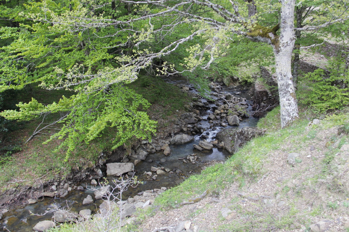
A babbling brook |
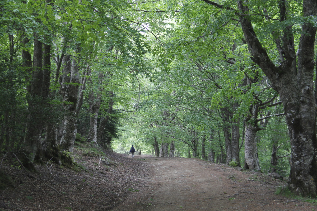
Classic beech forest shade |
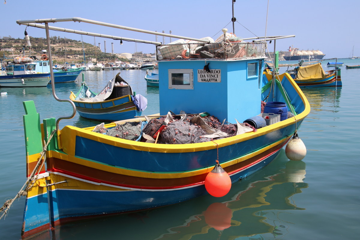
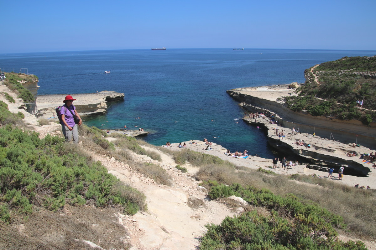
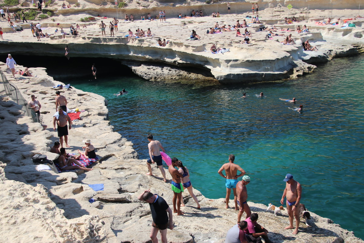
Malta
Sat-Mon 1-3 Jun 2019
We did a mix of Valetta, plus walking and driving on Malta and Gozo islands. A few days is too rushed, because the remnants of ancient cultures are remarkable, the landcape striking, the history intriguing, the contemporary culture and language very interesting, and Valetta is one of the world's standout sets of fortifications.
|
|
|
|
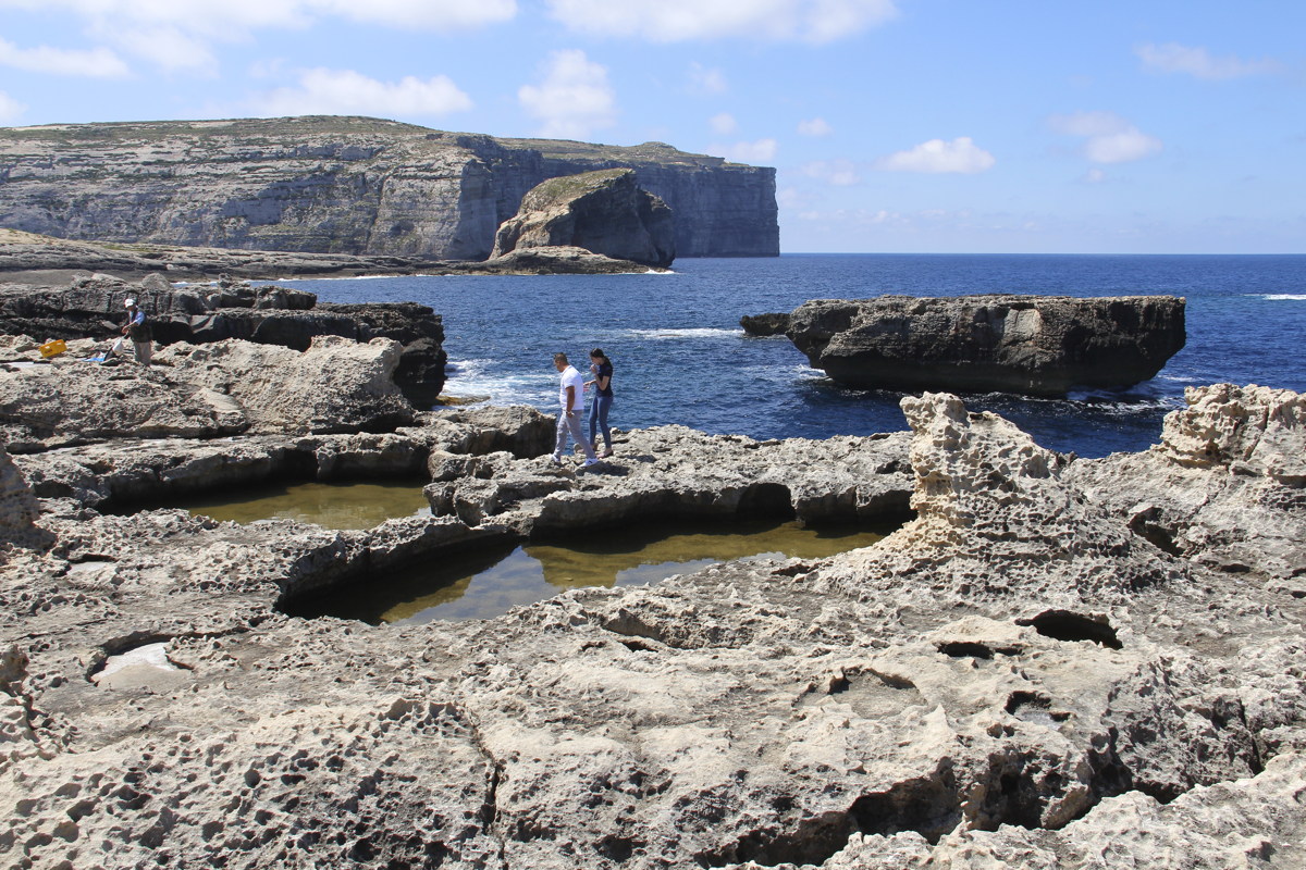
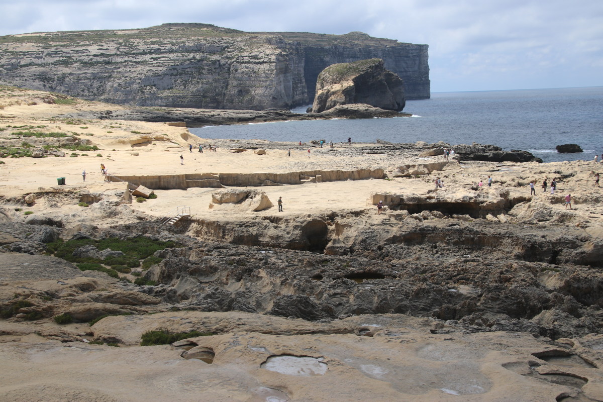
Dwejra Cliffs ... |
... Dwejra Bay, on Gozo |
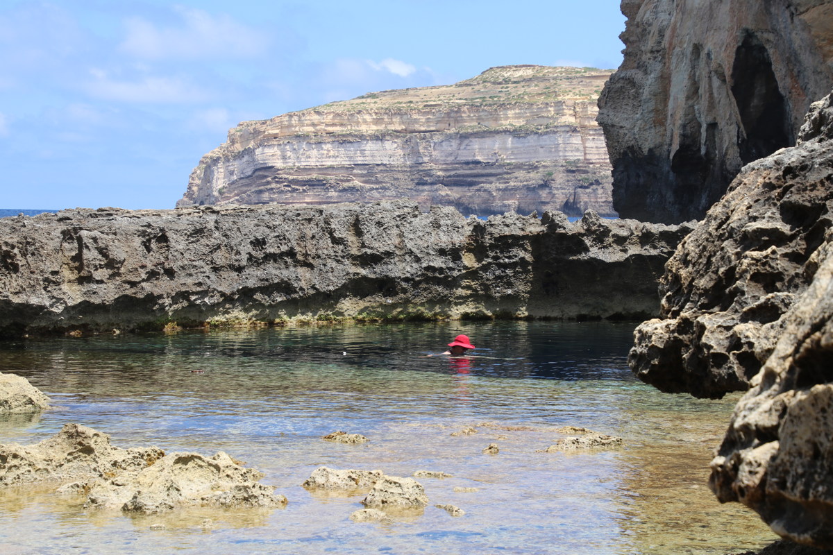
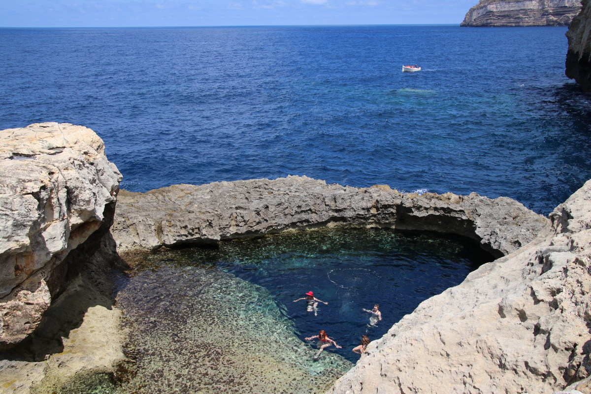
Blue Hole, Red Hat ... |
... Divers Rising |
|
|
|
|
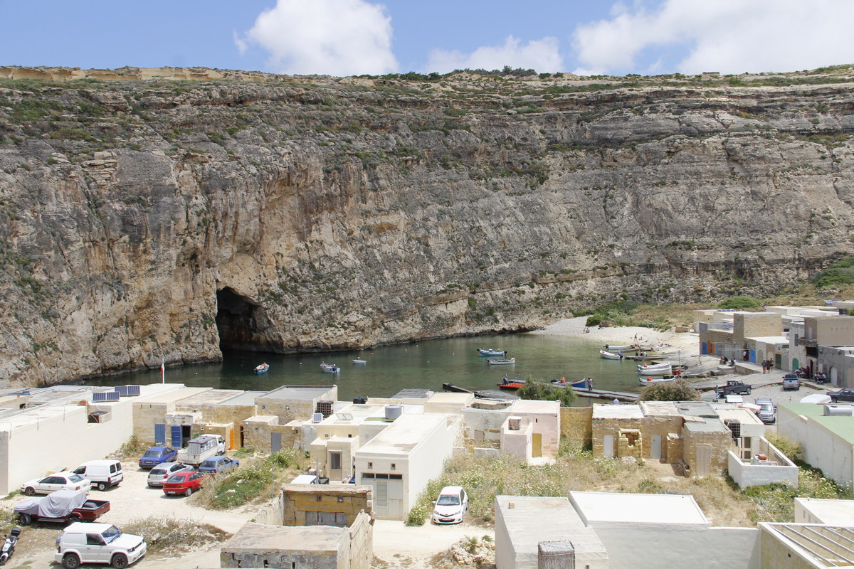
Inland Sea nearby |
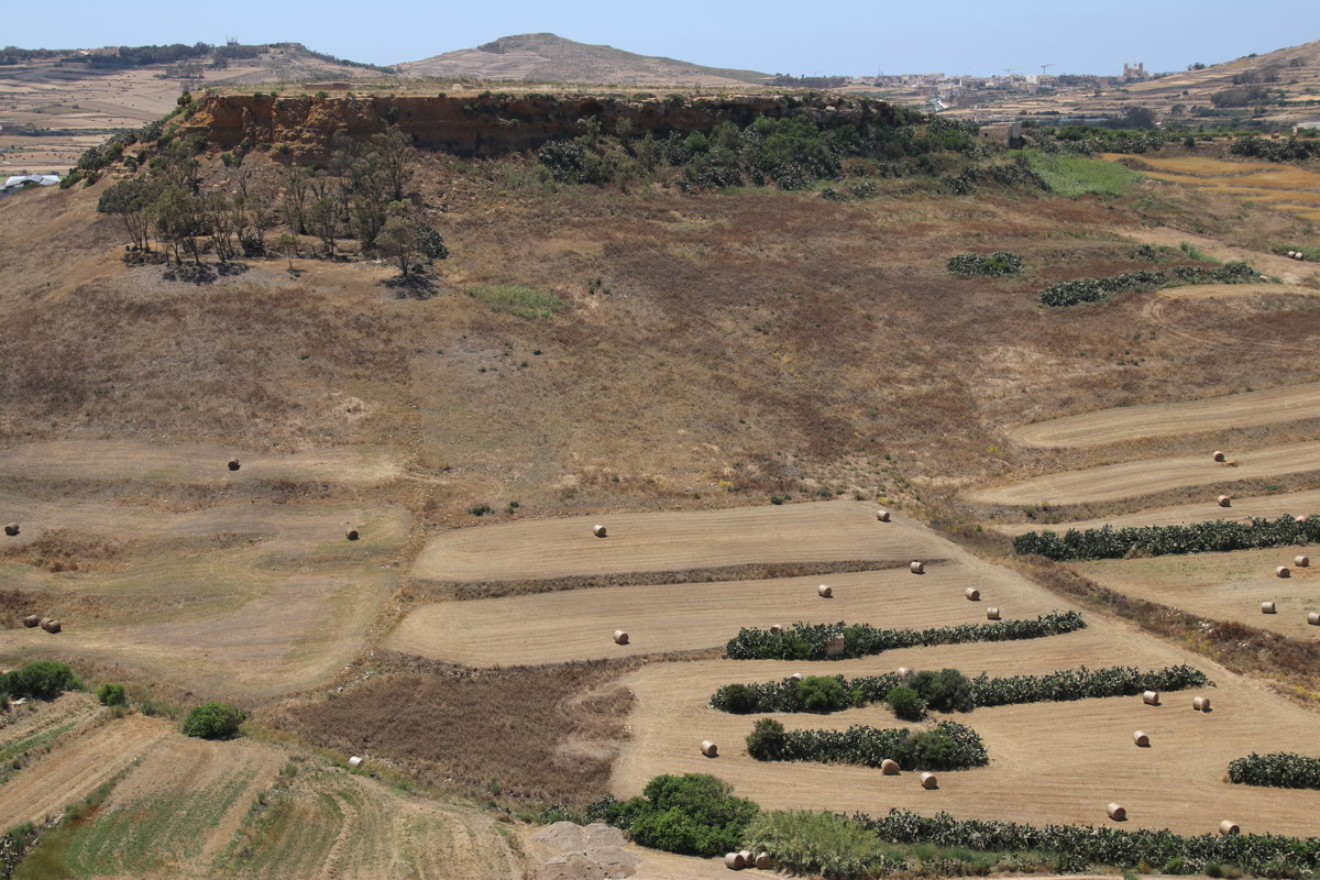
Fields inland |
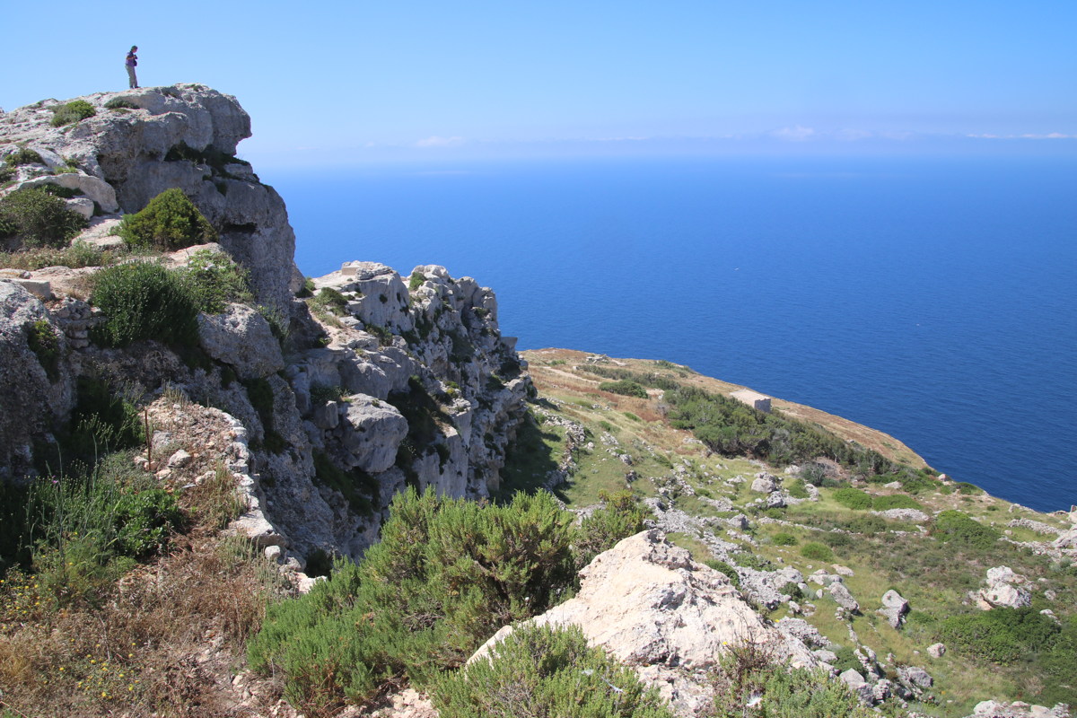
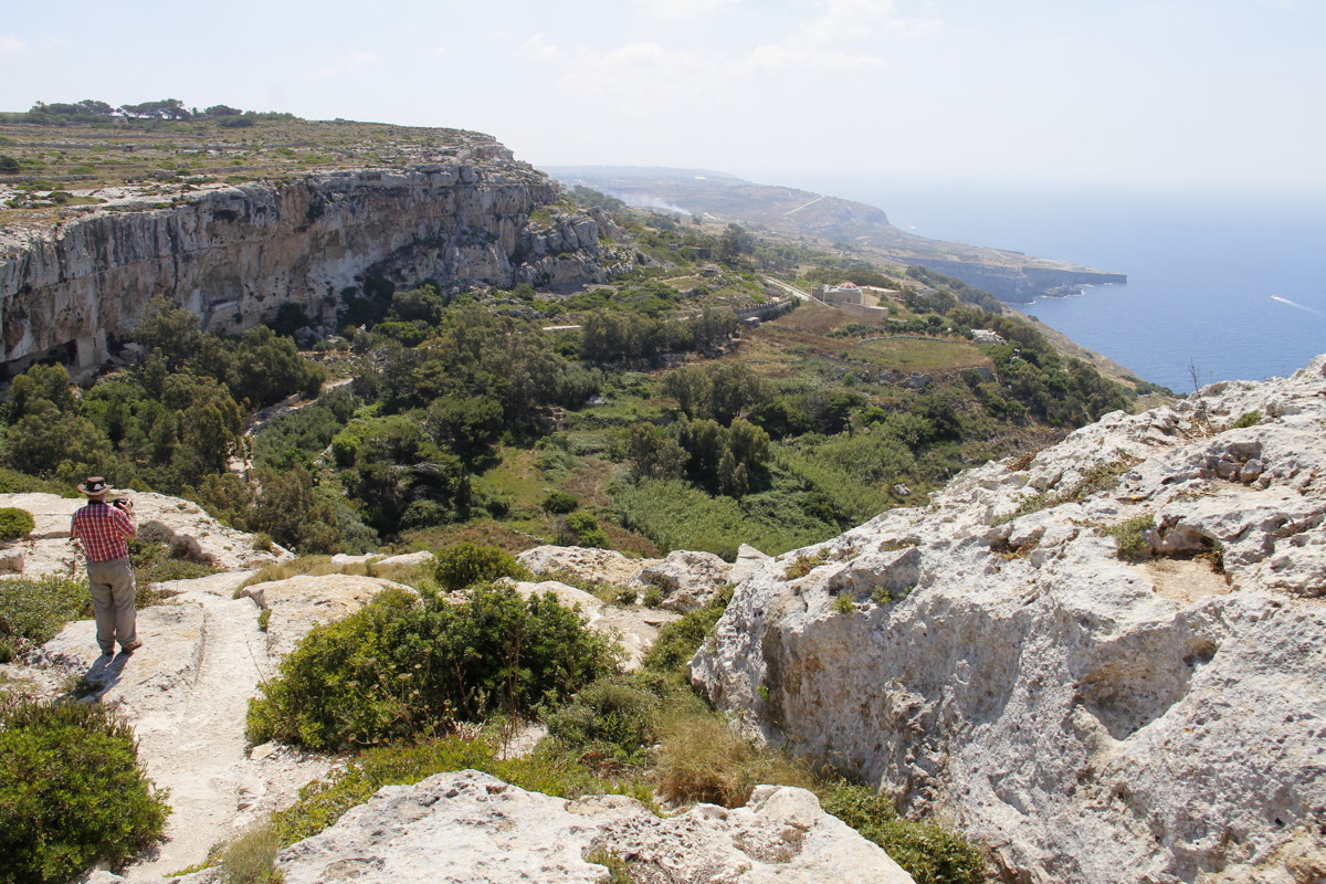
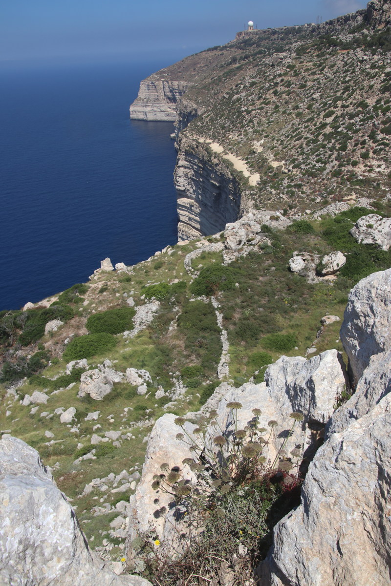
Dingli Cliffs on Malta ... |
... towards SE ... |
|
|
|
|
... and towards NW |
Marsaxlokk |
St Peter's Pool ... |
... and local sports |
Italian Alps
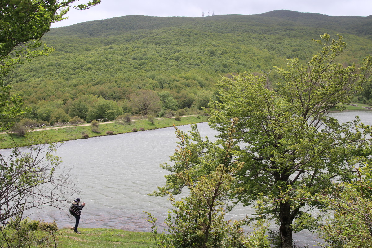
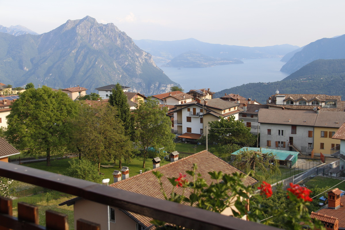
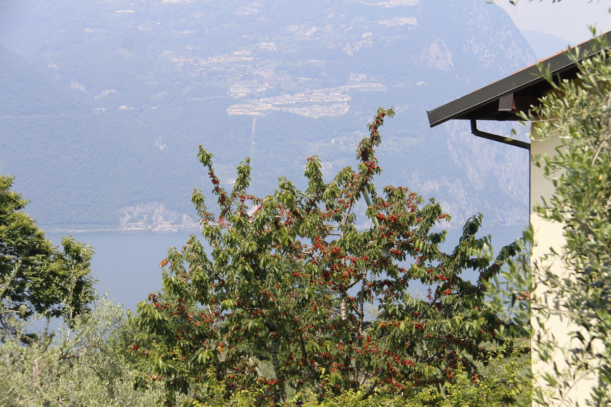
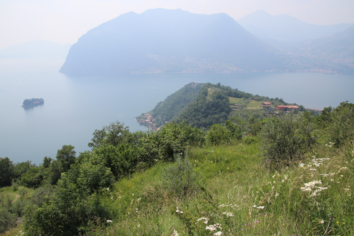
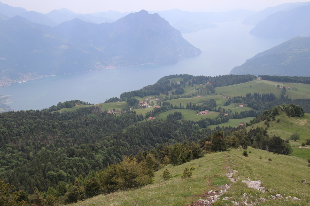
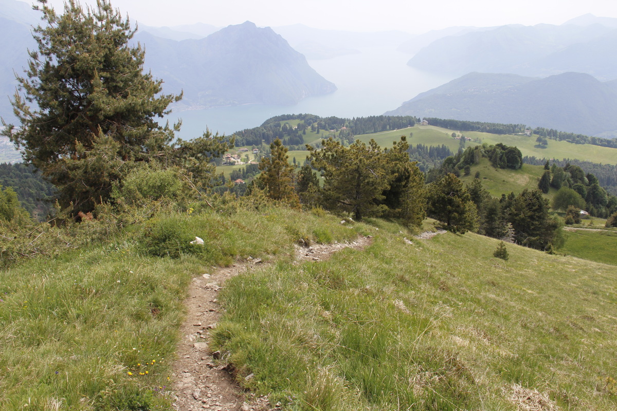
Wed 5 Jun 2019 – Monte Isola - 12km and +/-450m
Monte Isola is a steep-sided island in Lago di Iseo. It rises from the lake-level of 180m to 600m, and claims to have the largest population of any lake-island in Europe.
|
|
|
|
View to the island
from our balcony |
The western bank, through
the lunch-time cherry-tree |
Looking north |
The path down |
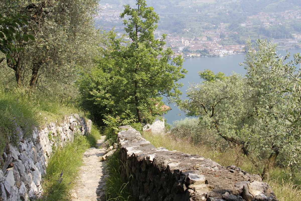
Fri 7 Jun 2019 – Bossico – 6km and +/-450m
We stayed in Bossico, above and north of Lago d'Iseo. After failing to find any 'long half-day' walks up to sub-alpine meadows in the (complex, interesting, but heavily wooded and poorly roaded) area around the town called Zone, East of the lake, we came back to Bossico and walked from the top of the village, at 1020m, up the neighbouring hill, Monte Colombina, to 1458m (plus a diversion costing 30m of height, thanks to poor path-markings)
|
|
|
|
Well above the lake |
The summit track |
Looking back down
the summit track |
Xmax decorations
already on the tree |
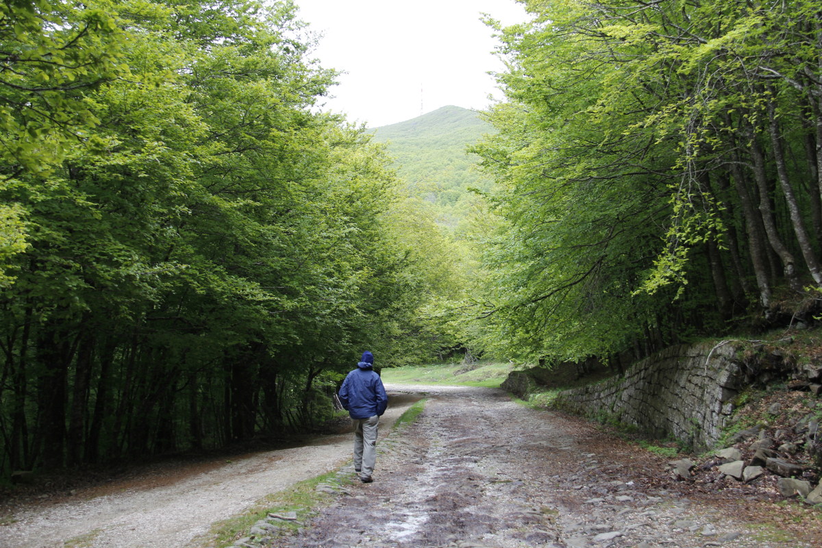
Dolomites
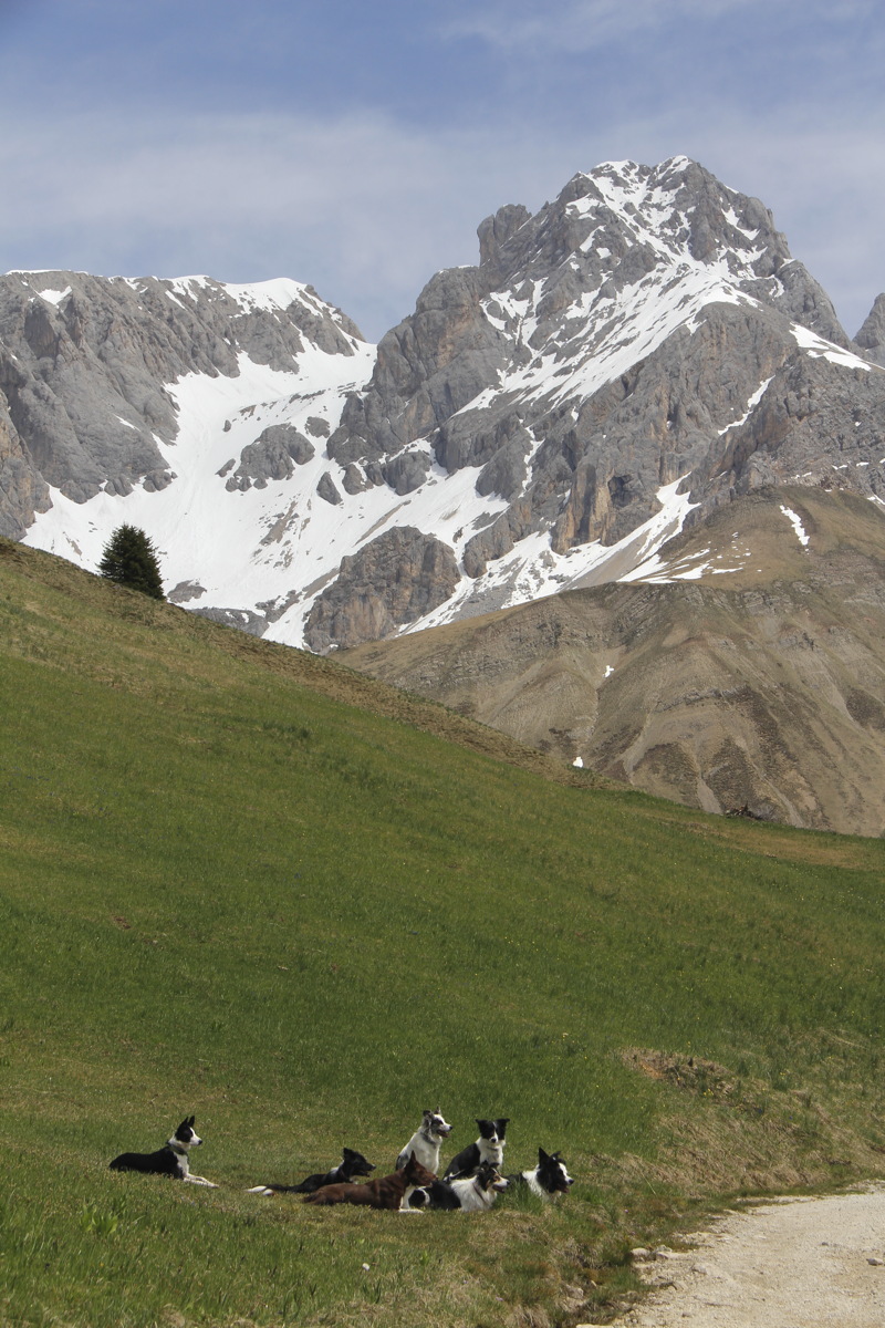
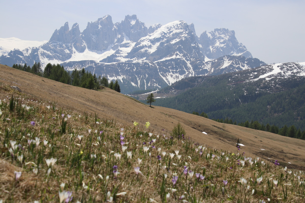
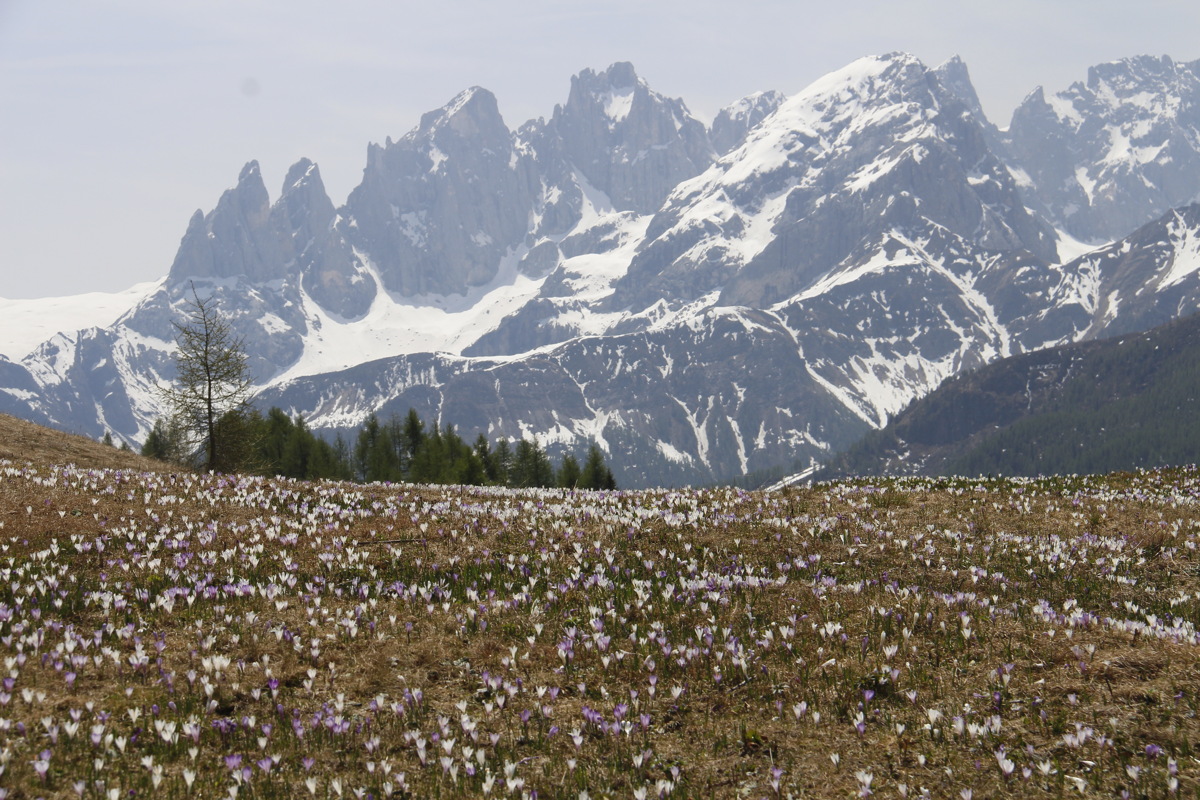
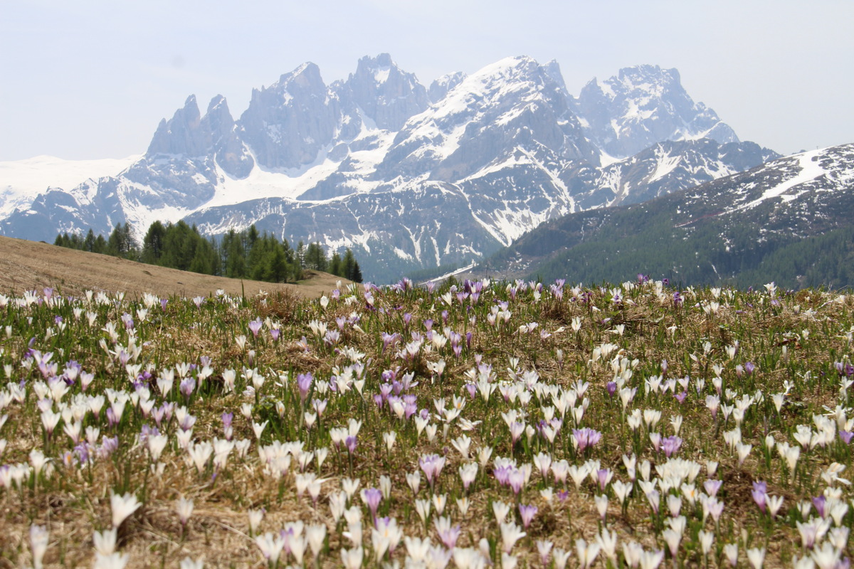
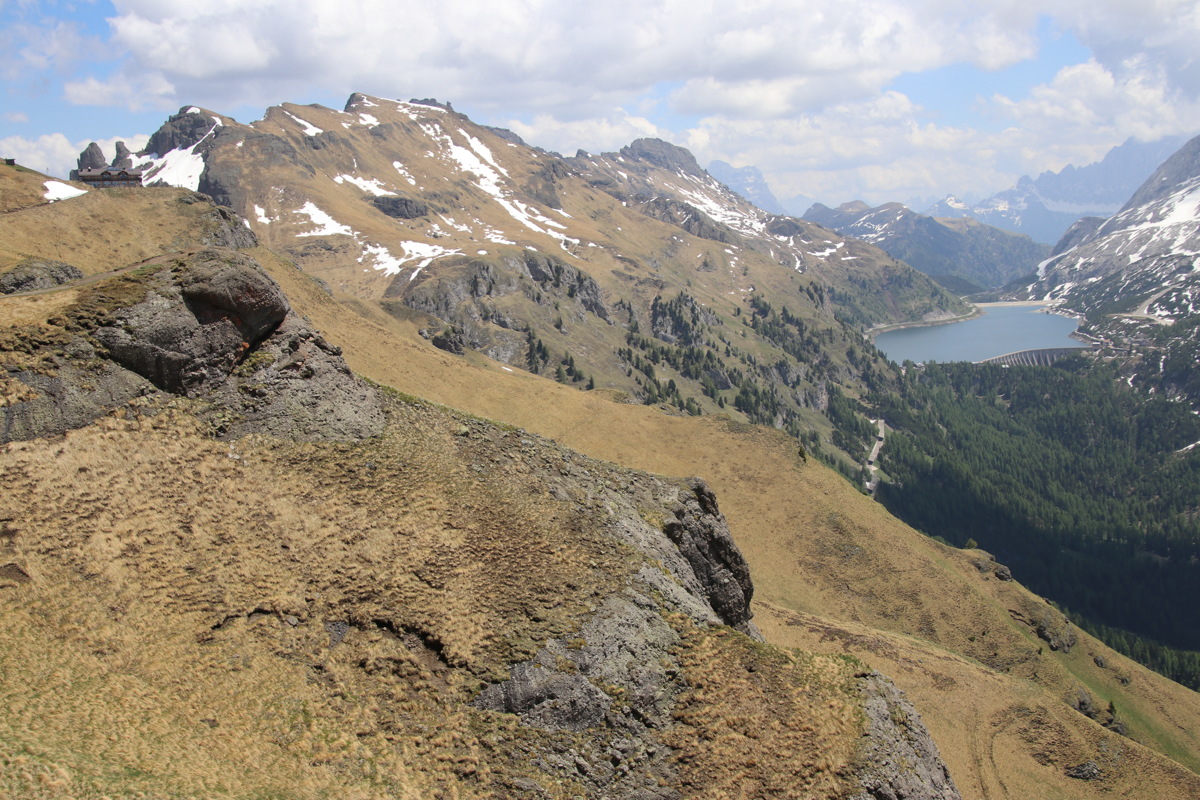
Sun 9 Jun 2019 – Fuciade - 8km and +/-250m
A pleasant starter-walk, along a track from Passo San Pellegrino, already at 2000m, past a readily-accessible and very flash Rifugio/restaurant, and up onto a ridge-line. Views of two nearby ranges, one in the middle-distance, and several many miles away.
|
|
|
Bob and Linda looking
S to San Martino |
An enthusiasm of Border
Collies on the alp |
A crocus-field,
looking NW at the Uomo ... |
|
|
|
... same field, but
looking S to San Martino ... |
... again ... |
... and one more time |
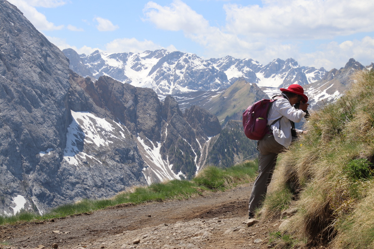
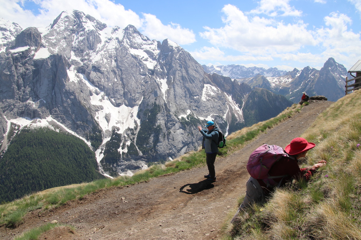
Mon 10 Jun 2019 – The Eagle Walk – 9km and +/-250m
Linda very much wanted to revisit this track beneath the Rosengarten/Cattenacio, which we first walked in 2015. This time Bob joined us, and we took the Paulino chairlift from below the Karerpass / Costalungo up to 2000m, walked north to the Rifugio, then back around to the west on an even rockier track.
|
|
|
|
The approach to the Eagle |
Later, returning past it |
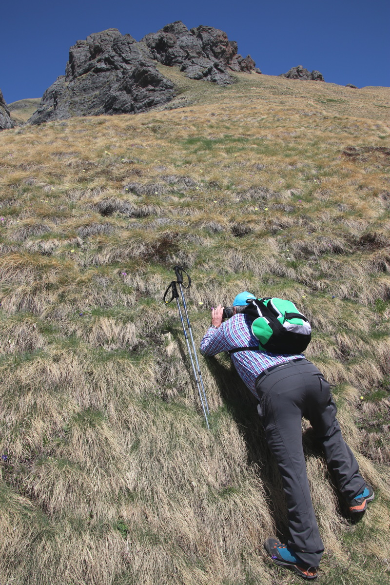
Intrepidness of the
alpine flower snapper |
Looking NE to Val di Contrin
and the Marmolade group |
|
|
|
|
Typical of the upper
layers of the Rosengarten |
|
Get thee to a rockery |
We returned southwards,
then followed around the
balcony to the east |
|
|
|
|
Further along the high contour |
The forest far below
was severely storm-damaged
in Nov 2018 |
A storm passing by |
One of the gullies
on the return path |
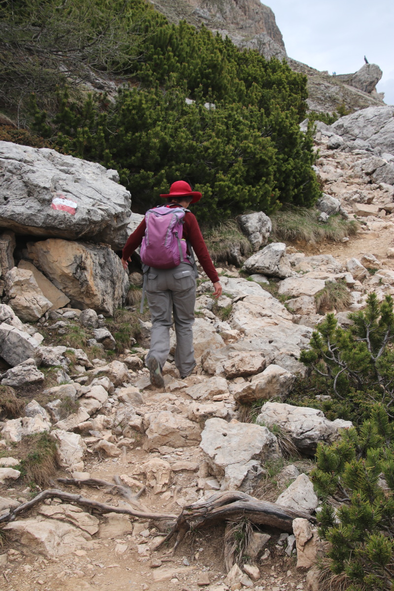
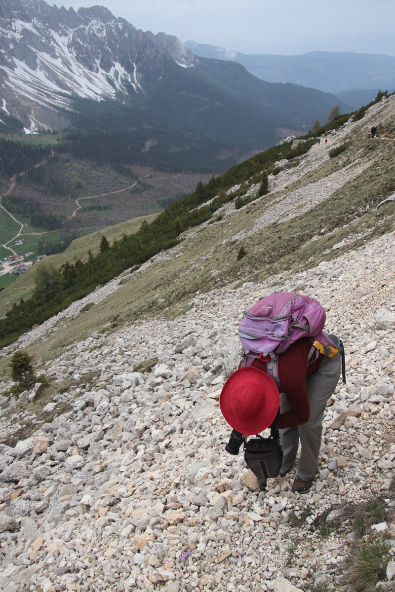
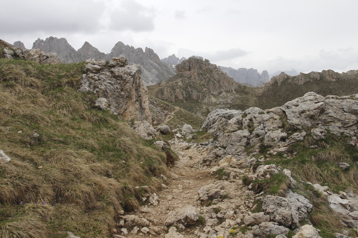
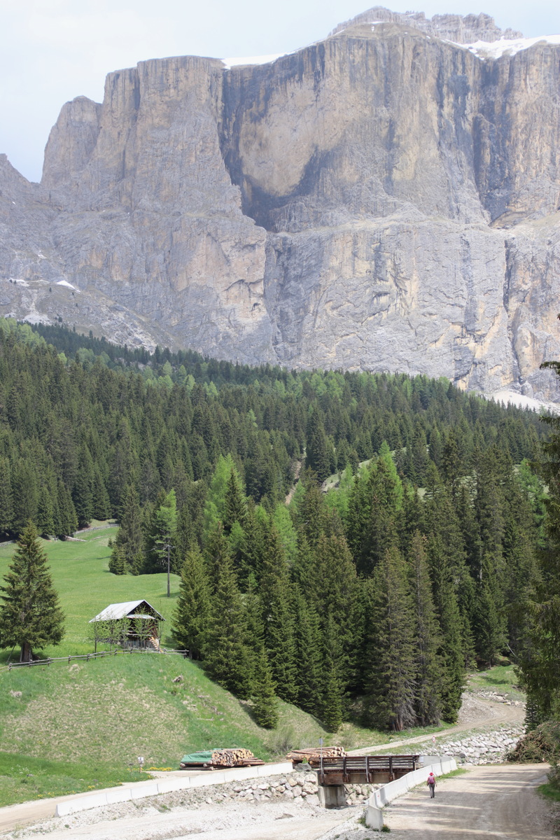
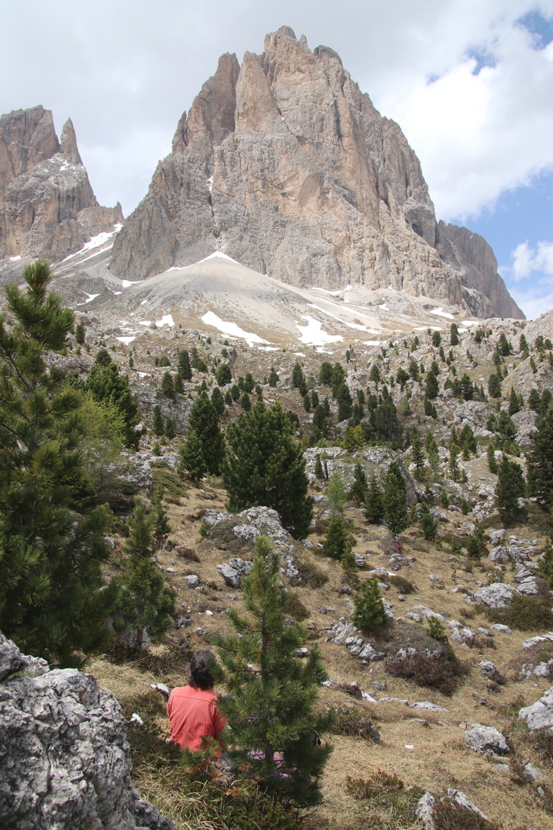
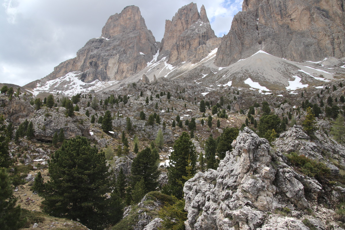
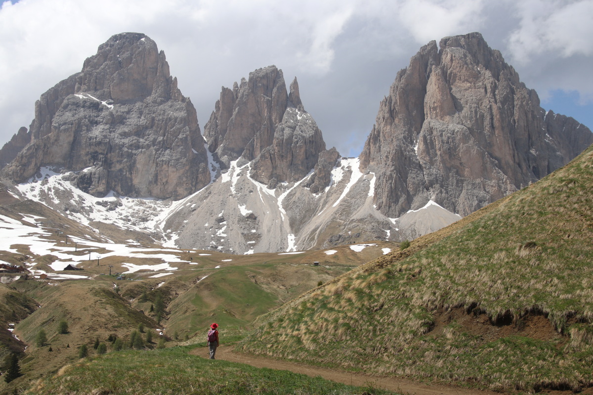
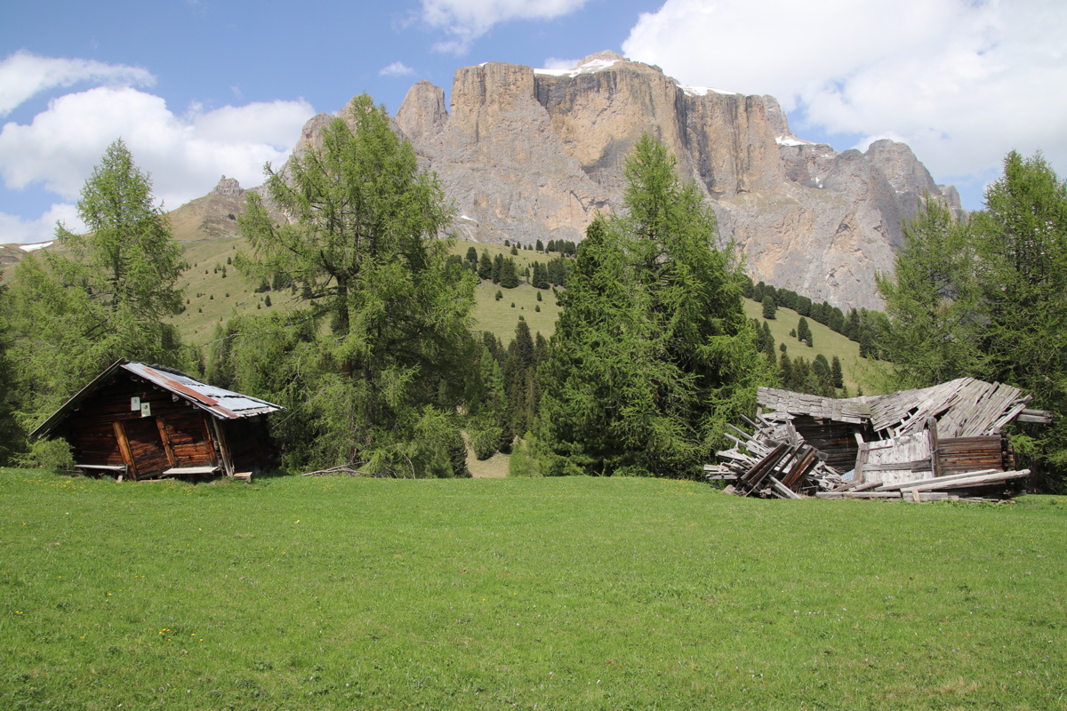
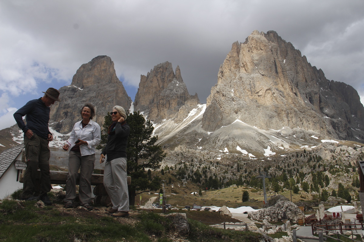
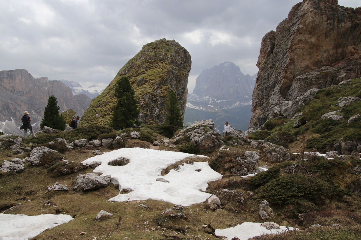
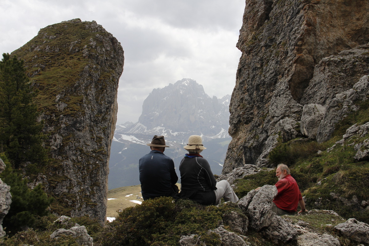
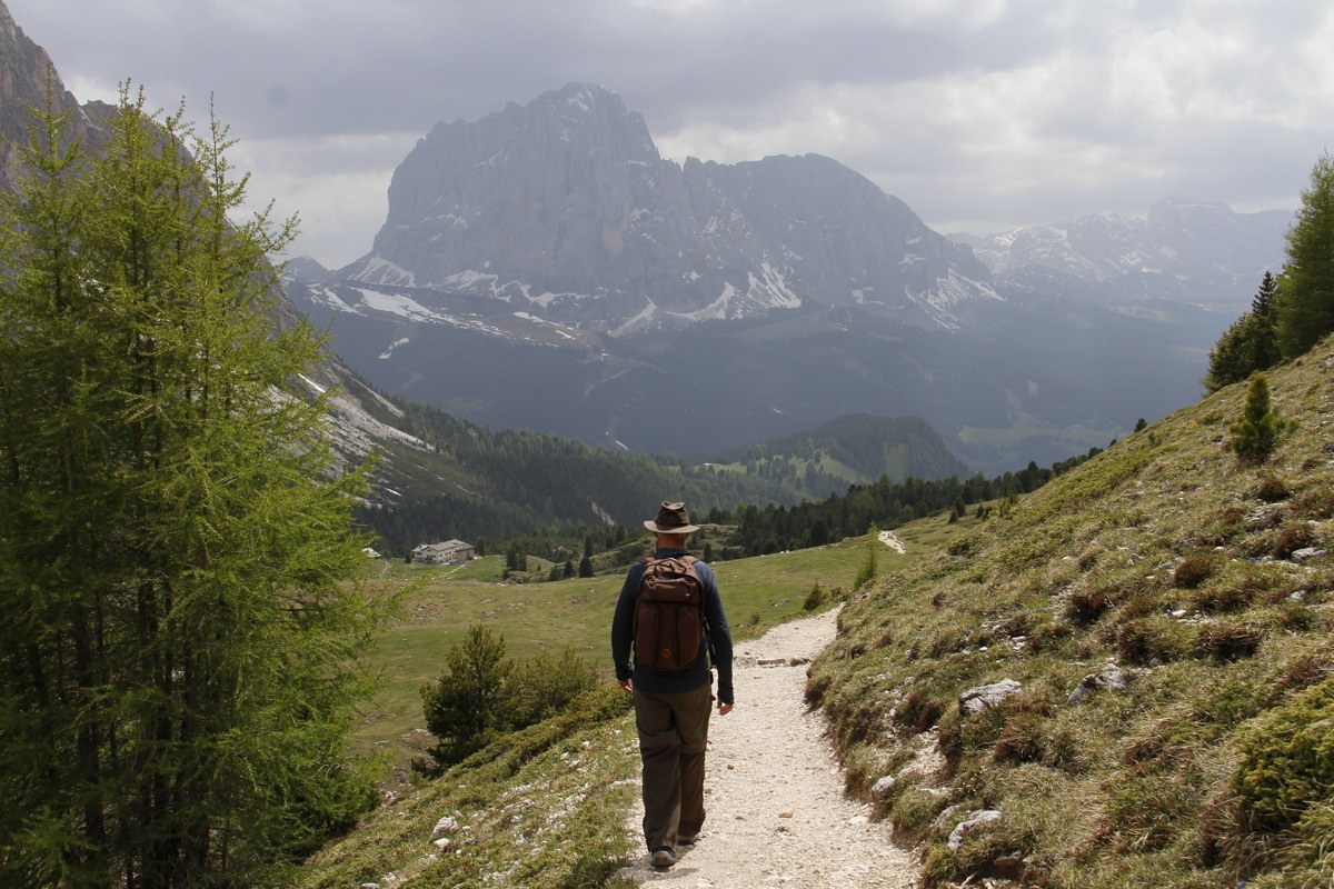
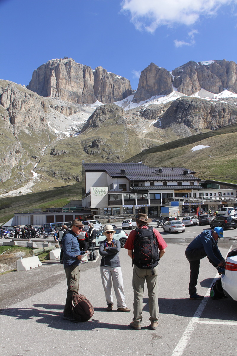
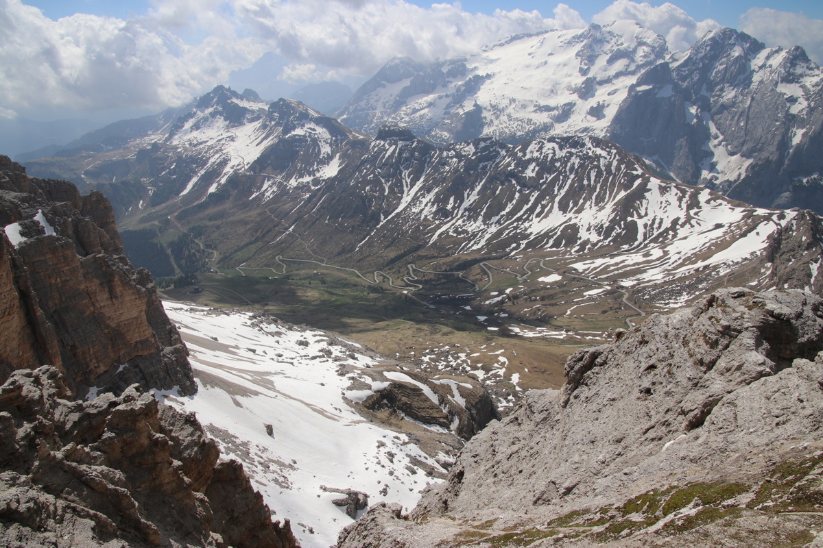
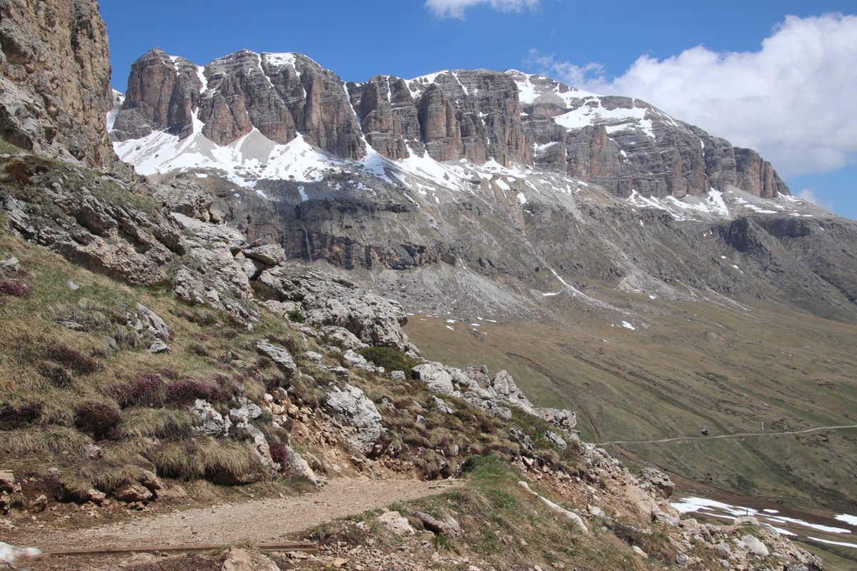
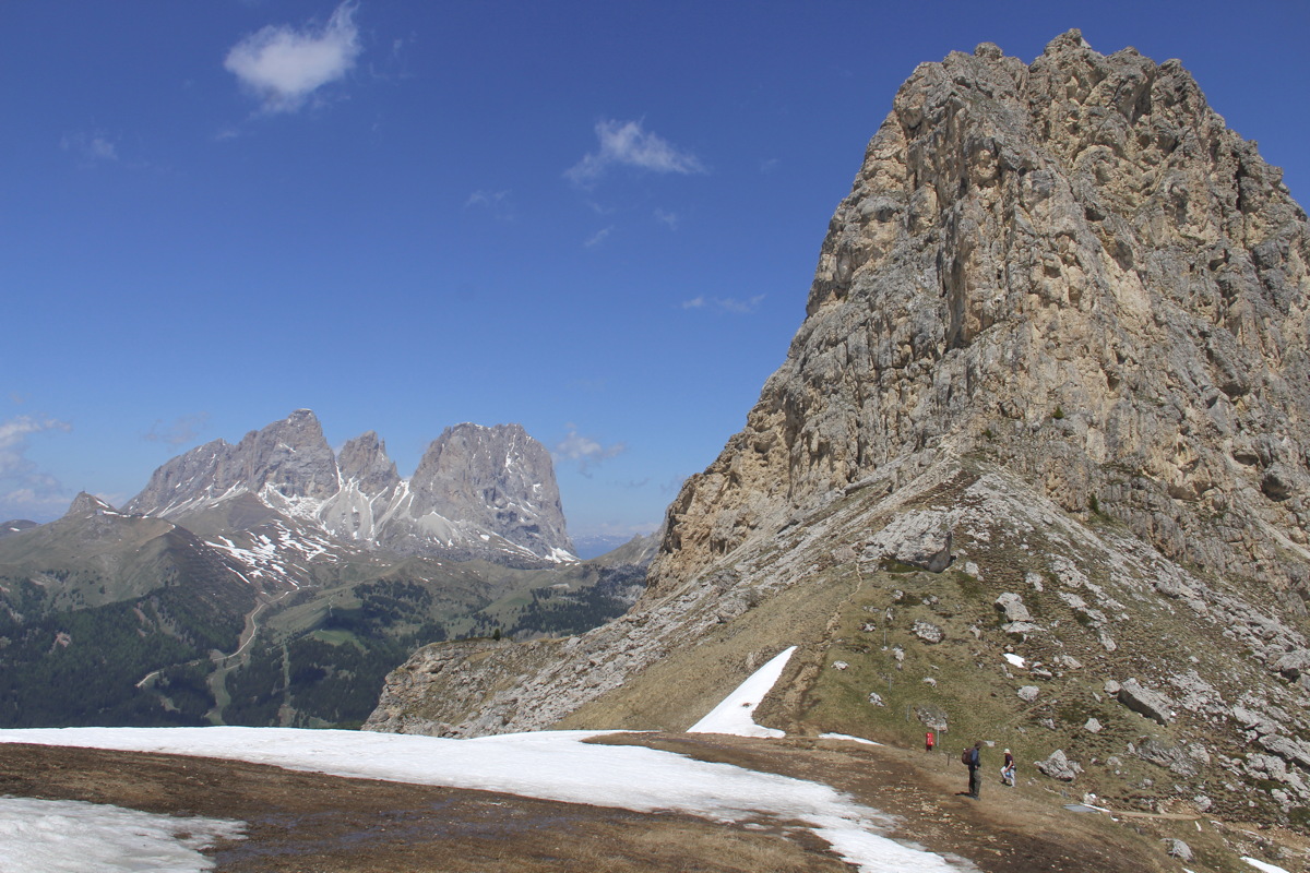
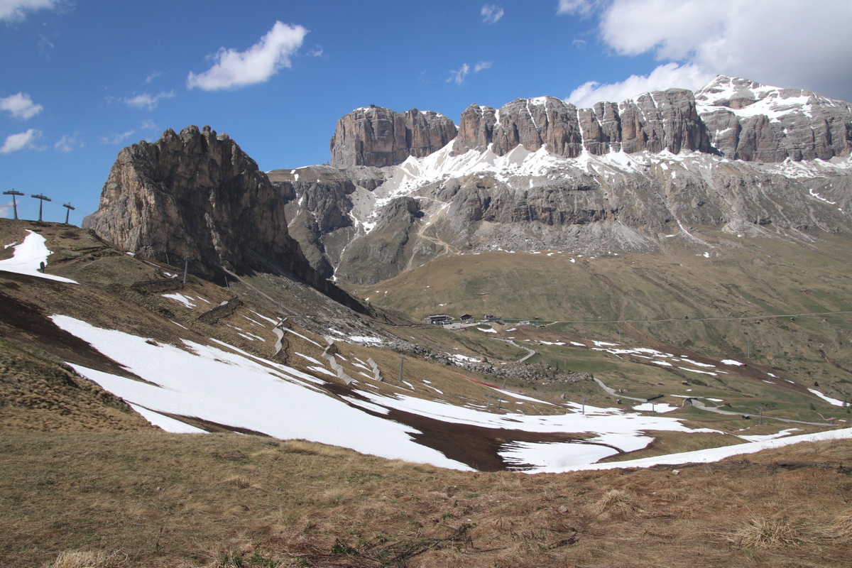
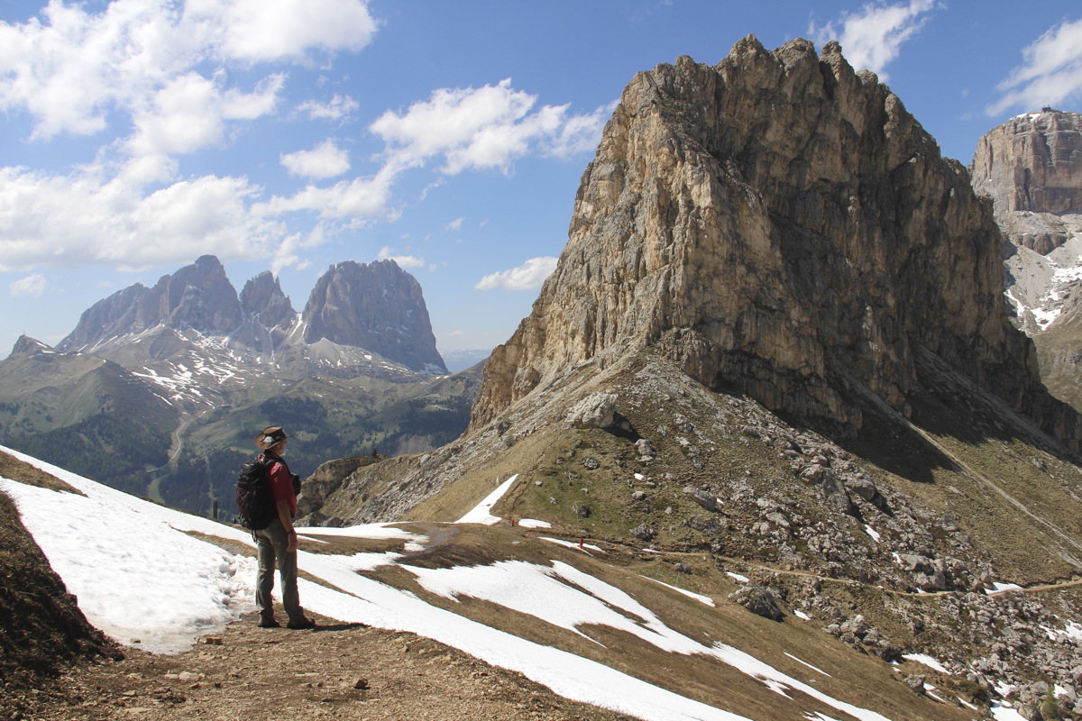
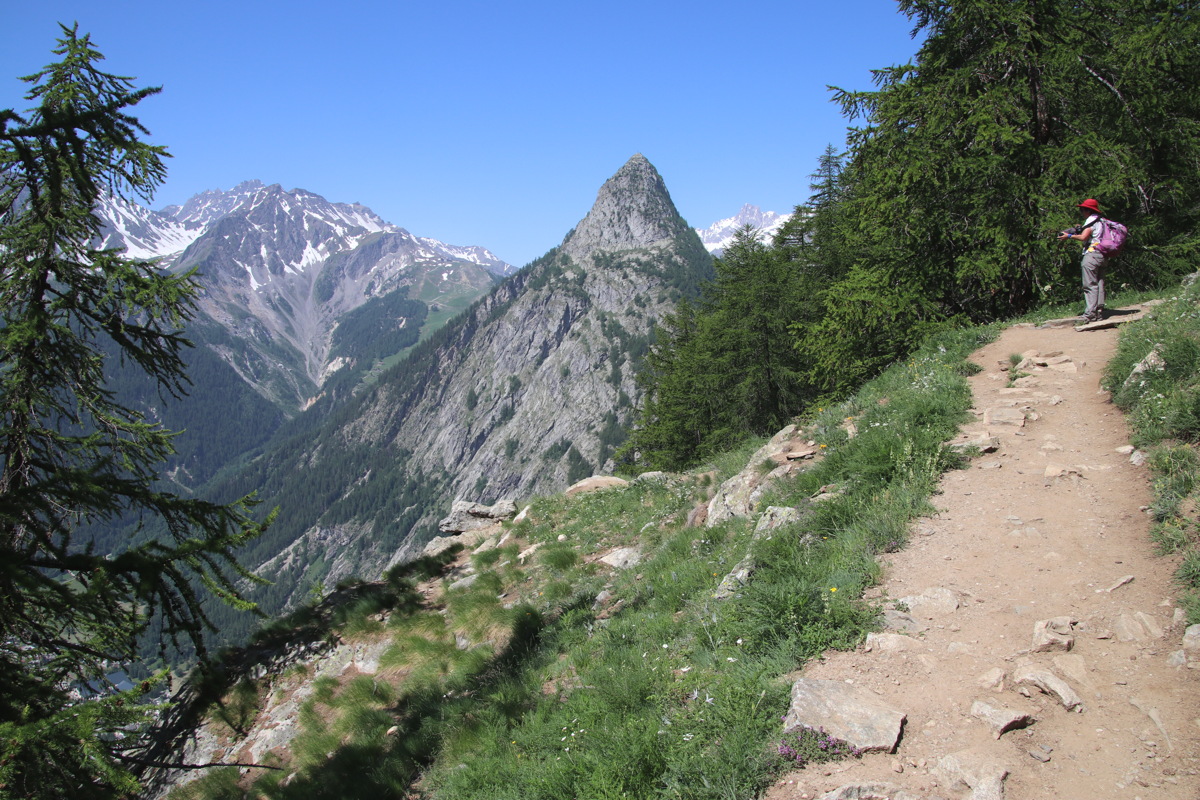
Tue 11 Jun 2019 – The Sella Walk – 9km and +/-550m
We started at Restaurant Lupo Bianco, at 1715m, halfway up from Canazei, then walked up to the Sellapass, at 2220m
|
|
|
The starting-point,
at The White Wolf |
Looking East
to the Sella Group |
Lunchstop, beneath Sassolongo,
amidst Steinstadt,
just above Sellapass |
|
|
|
The rest of Sassolongo
from within Steinstadt |
Linda's favourite view
of the Sassolongo |
Sella with huts
old and leaning |
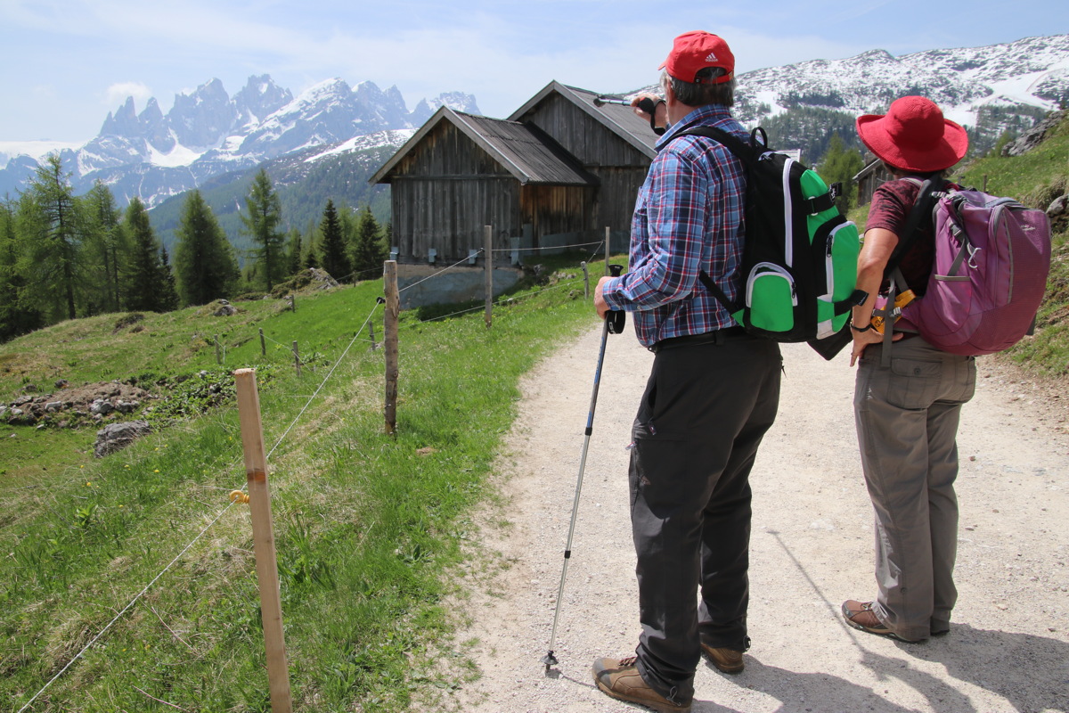
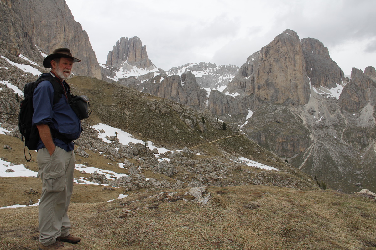
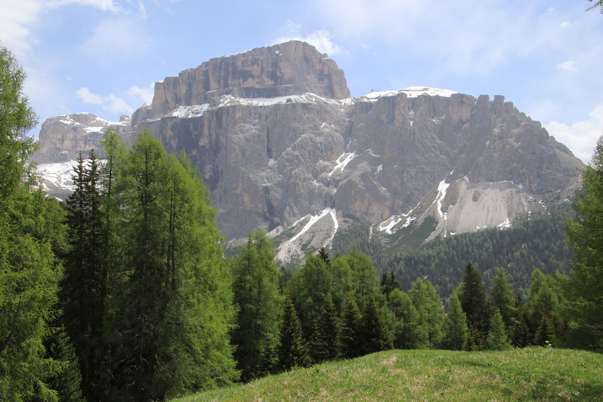
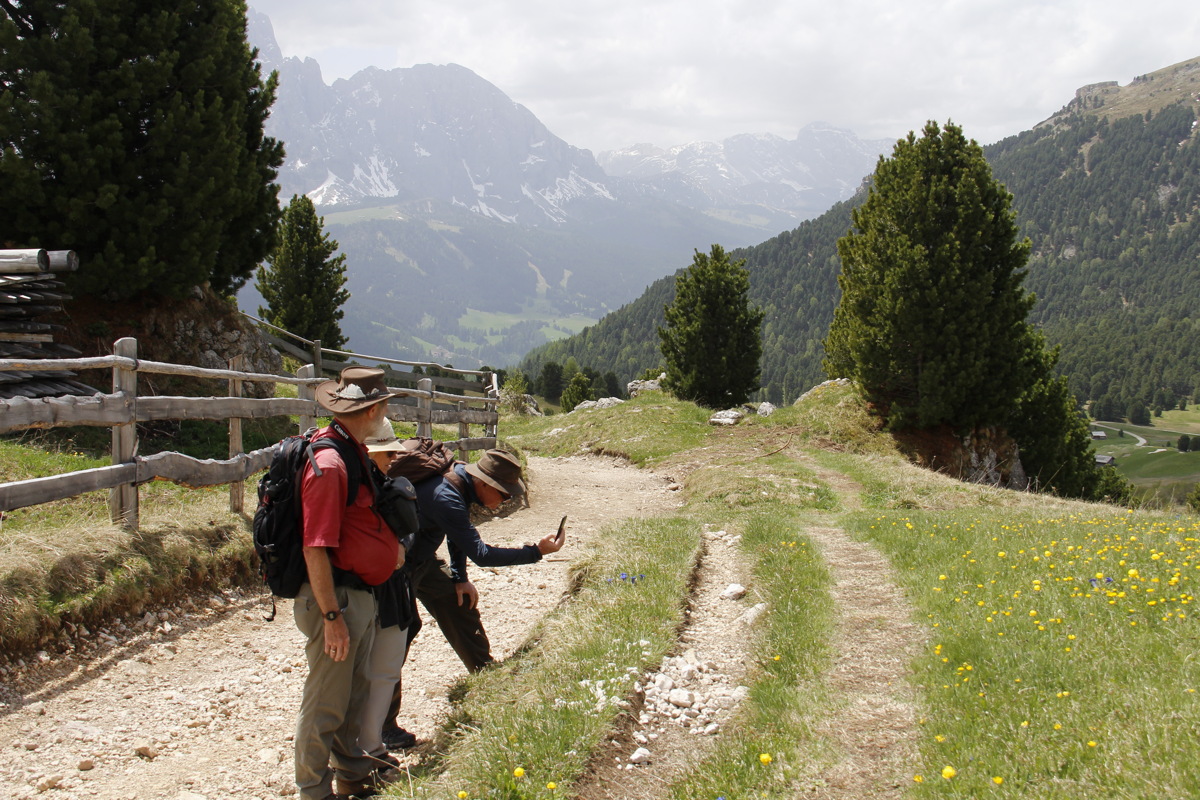
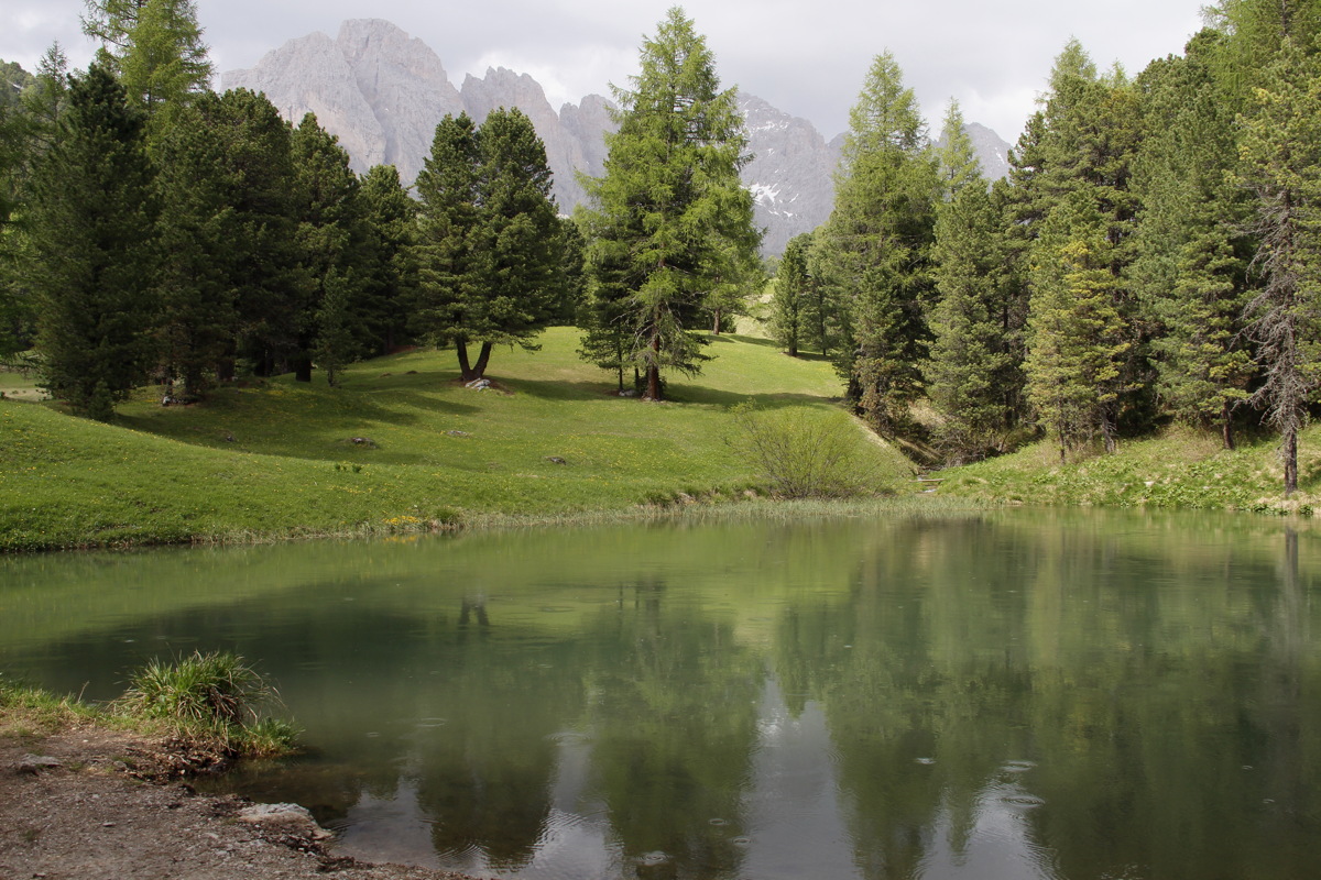
Wed 12 Jun 2019 – St Christina – 8km and +200m/- 750m (2100-2300-1550m)
Accompanied by Mick and Marilyn Capelin, we repeated a walk with great views that we did in 2017. From St Christina in the Val Gardena, we rode up the Col Raider gondola at the eastern end of St Christina, and then walked around the face of the Odle range and back down (this time the direct way)
|
|
|
|
En route to the walk,
a stop at Sella Pass,
in front of the Sassalongo |
Mick, the track and
the view north |
Muted lunchtime views
back to the Sassolongo ... |
... apparently making
lunch seem sombre |
|
|
|
|
Mick striding down |
A lake beside the path |
Looking back up
to the Odle range |
Through trees to the valley |
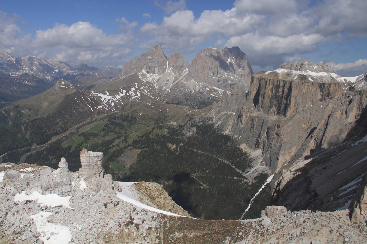
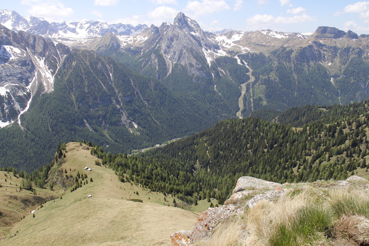
Thu 13 Jun 2019 – Viel de Pan – 7km and +/-300m
Thanks to Bob, we first enjoyed great views of the area, from 2920m at the top of the Pordoi lift.
|
|
|
|
The lift to Piz Boe
and the Sella group |
View NW along the
Sella to Sassolongo |
View S into the range
between Penia and
Passo San Pellegrino |
View SW, of the valley
down to Arraba,
Marmolada behind,
and the ridge of the
next walk between them |
The five of us then walked south from the Pordoi Pass (at 2230m), then east along the balcony above Penia towards the Fedaiapass, lunching at the Rifugio di Viel de Pan (2440m)
|
|
|
|
Looking back N to Sella |
Sas Bece and
the Sassolongo group |
Man at work |
Woman at work |
|
|
|
|
Our track East to Fedaia |
Penia 900m below us |
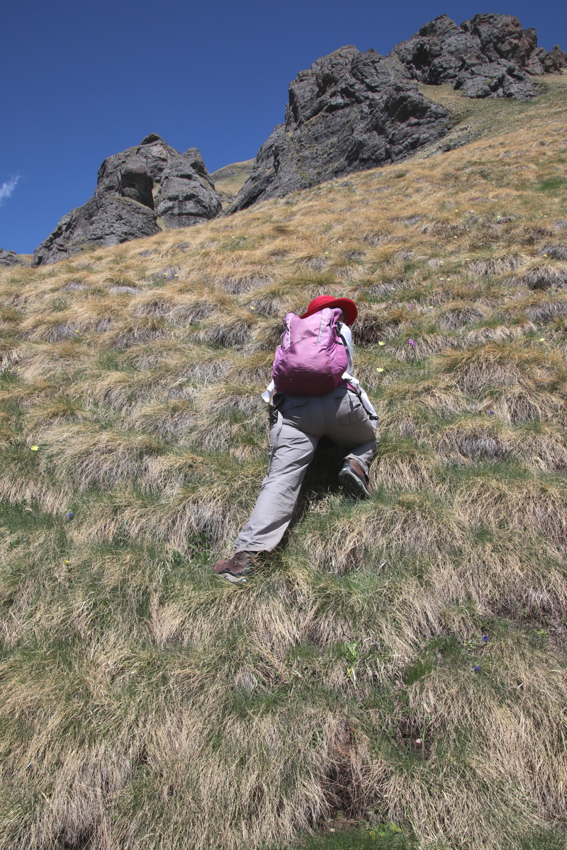
Linda at work, 'Helen's
ridge' just behind her |
Linda at work,
Sassolongo, Pasque Flower |
|
|
|
|
Bob and Linda at work |
What Bob was photographing:
Mick, Marilyn, Fedaia, Marmolade |
Afternoon light on
Sas Bece, Sella ... |
... Sas Bece, Sassolongo |
Aosta Valley / Valdostana
The valley has lots of names, because they're fine with Italian, French, English, a local language, Arpitan / Franco-Provencal, or even German.
It's c. 60km x 40km, in the very north-western corner of Italy, and is connected with the world by only two passes and one downstream valley (and since 1965 also the Mont Blanc tunnel). It's tucked between Mont Blanc (4800m) to the east, the Matterhorn (4400m) and Monte Rosa (4500m) to the north, and Gran Paradiso (4000m) to the south. It has dozens of peaks above 3000m, and countless above 2220m, i.e. Kosciusko.
With a considerable amount of research and a little luck, we found what are arguably the three best walks to get views of the vast array of mountains – the first just south of the Grand St Bernard Pass, the second due north of Aosta, and the third on the ridge SE of Mont Blanc.
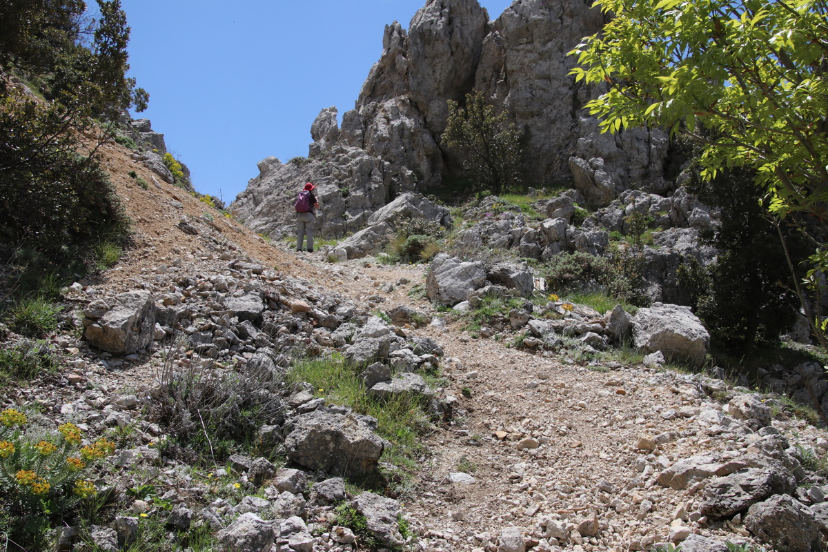
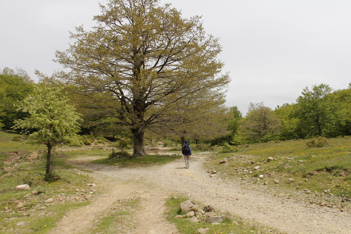
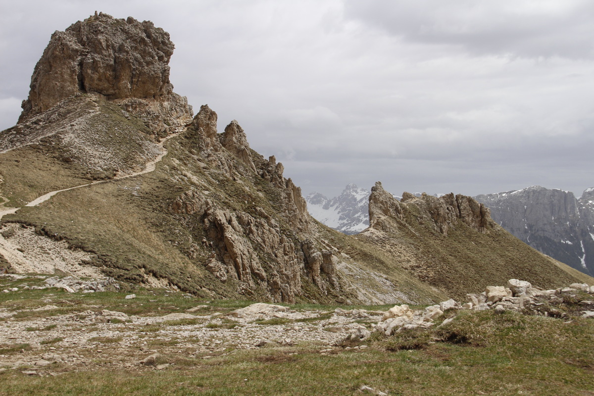
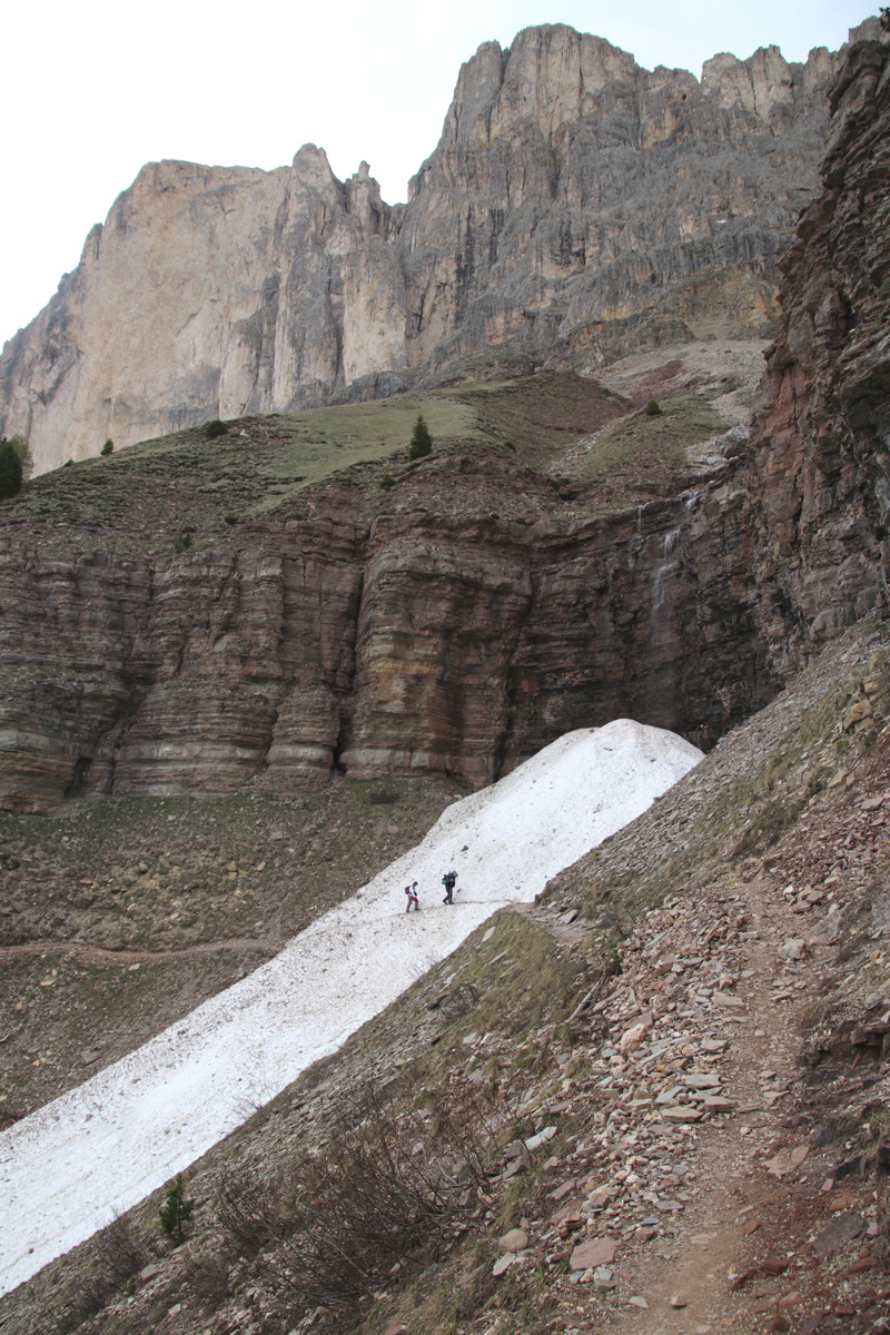
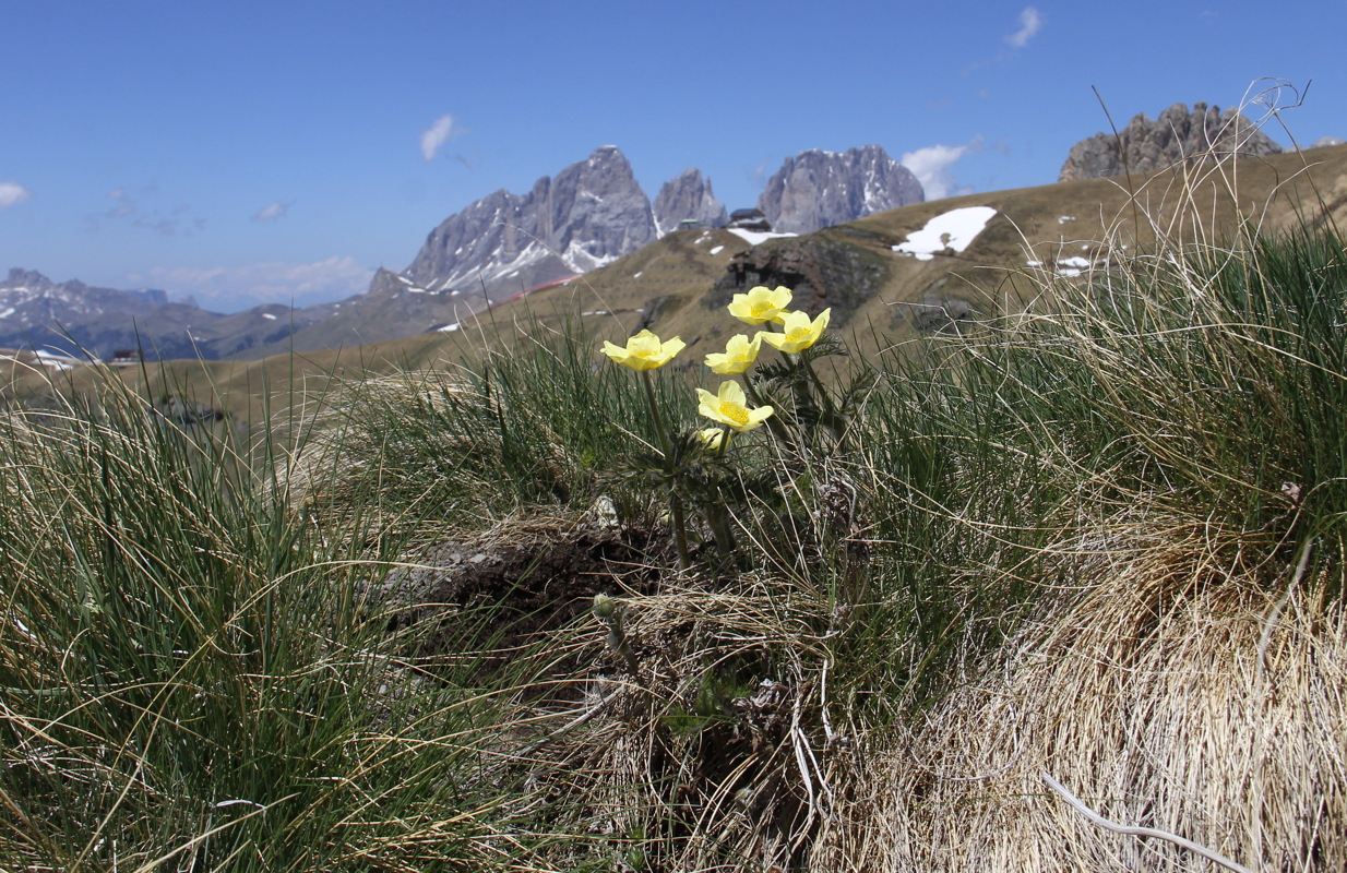
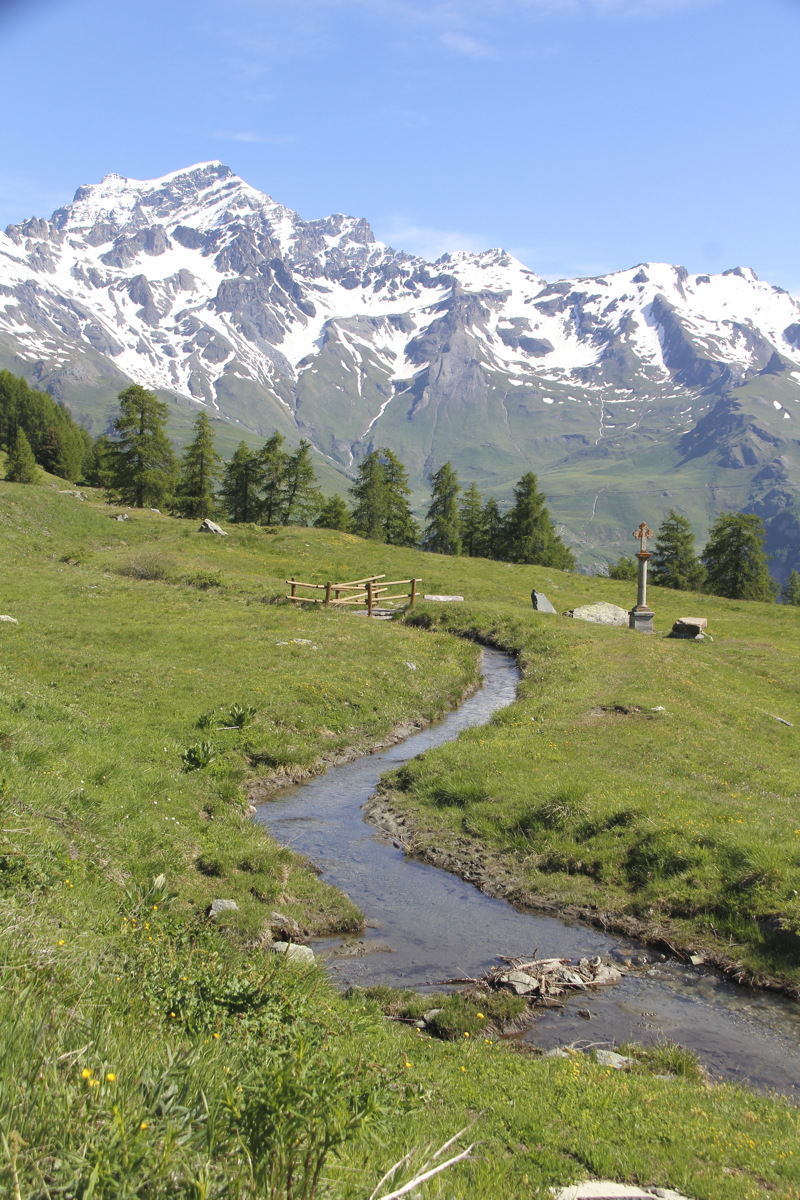
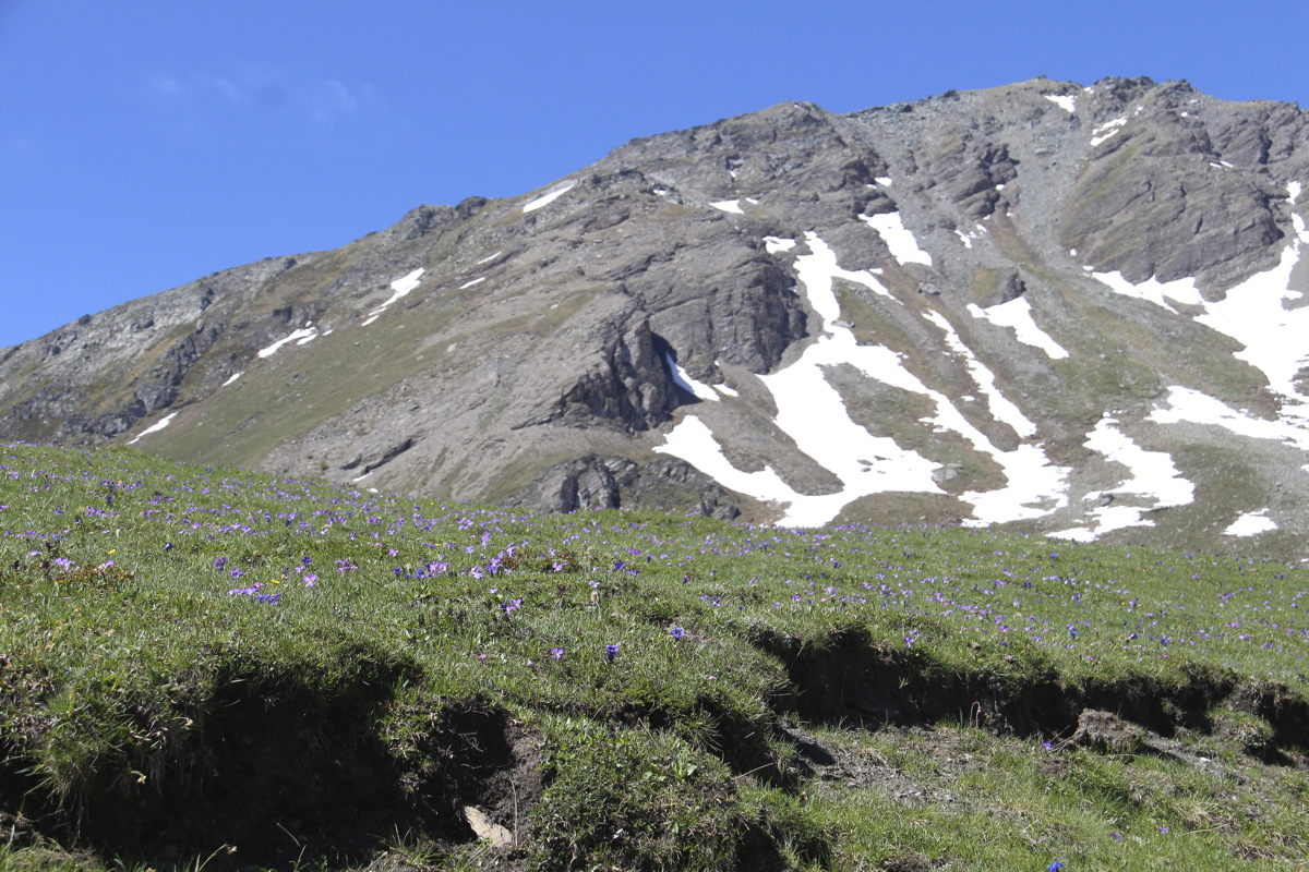
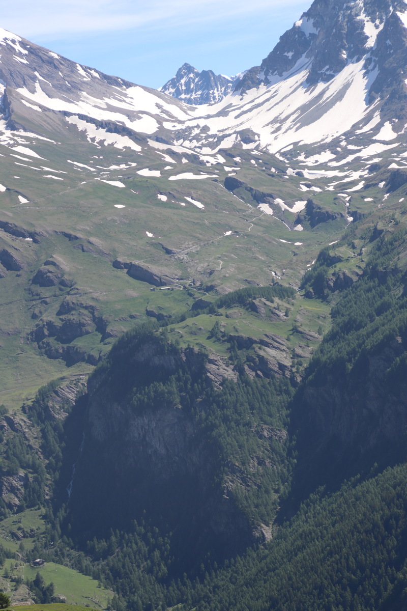
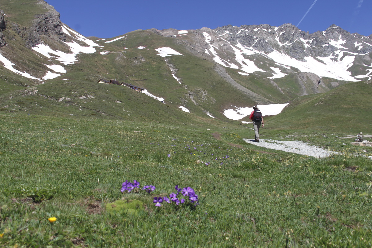
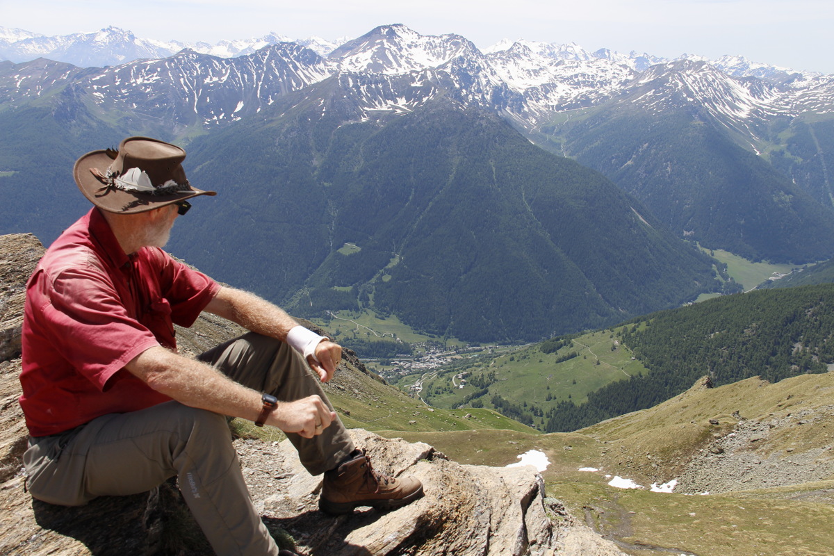
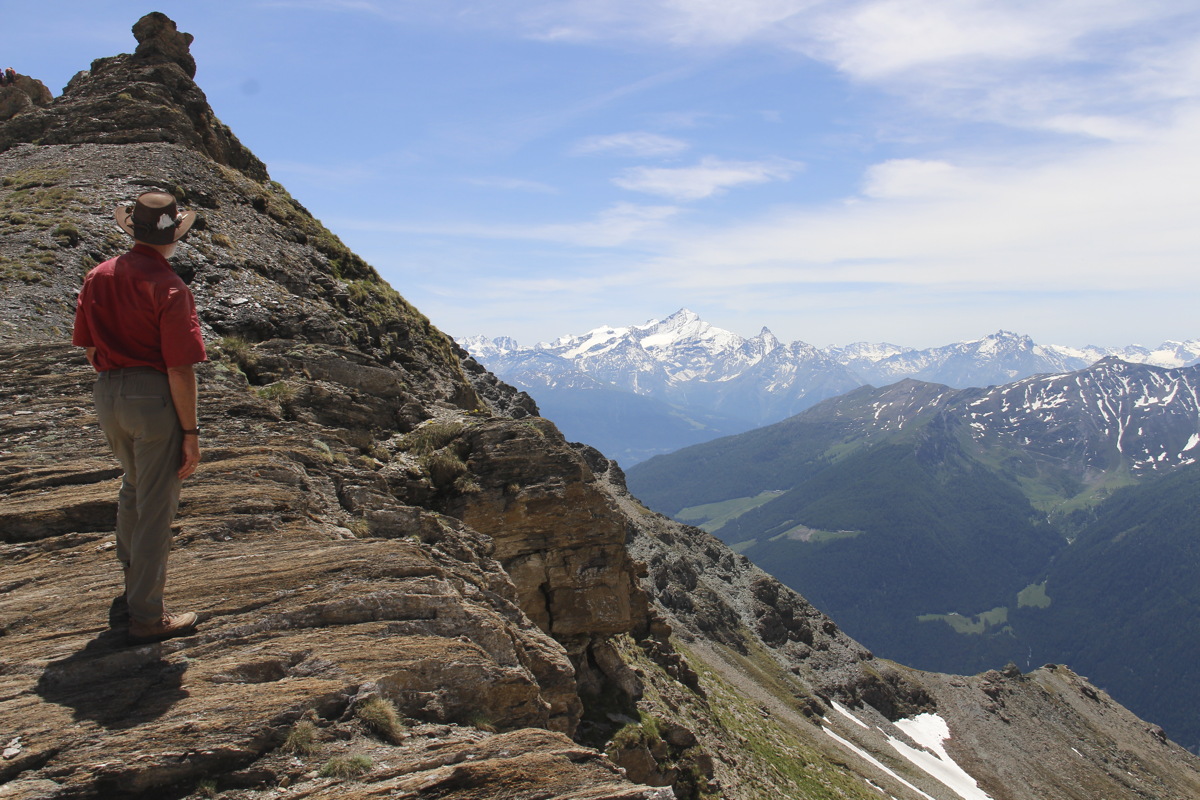
Sun 23 Jun 2019 – Testa Crevacol – 8km and +/-600m, 1h30m up, 1h10m down
After we'd spent 15 minutes finding the tourist office in Etroubles, the very helpful gentleman provided lots of info, sold us just the right map, and recommended this as a half-day walk - a high-enough peak amidst much higher peaks.
We parked at a (winter) lift at L'Arp de Jeu, at 1992m. We followed the service-track, then diverted up once we could work out the lie of the land. The only things to recommend the walk were the flowers (slightly muted by much of the area being skiied over, and this year by the late spring, but quite decent), the clearest possible sunny and 20-degree day, and the quite stunning surrounds. Col Crevacol is at 2489m, and the peak, Testa Crevacol, at 2605m.
We were very happy with the 400 vertical meters phr rate up to the top.
|
|
|
The Start |
Halfway |
Tarn |
|
|
|
At the lunchspot |
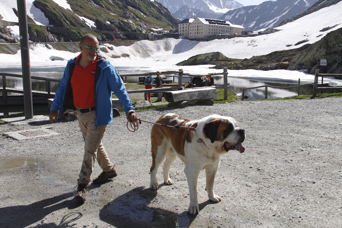
Grand St Bernard
3km N, 150m below,
with Mt Velan 3734m |
At the Pass,
2 days later |
|
|
|
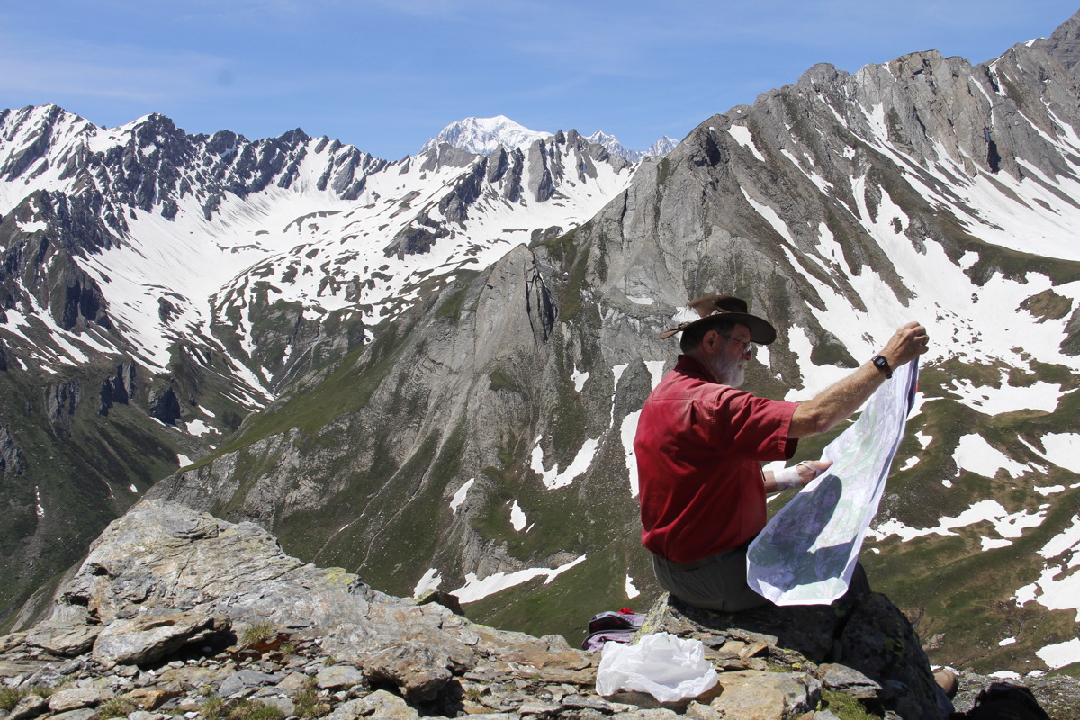
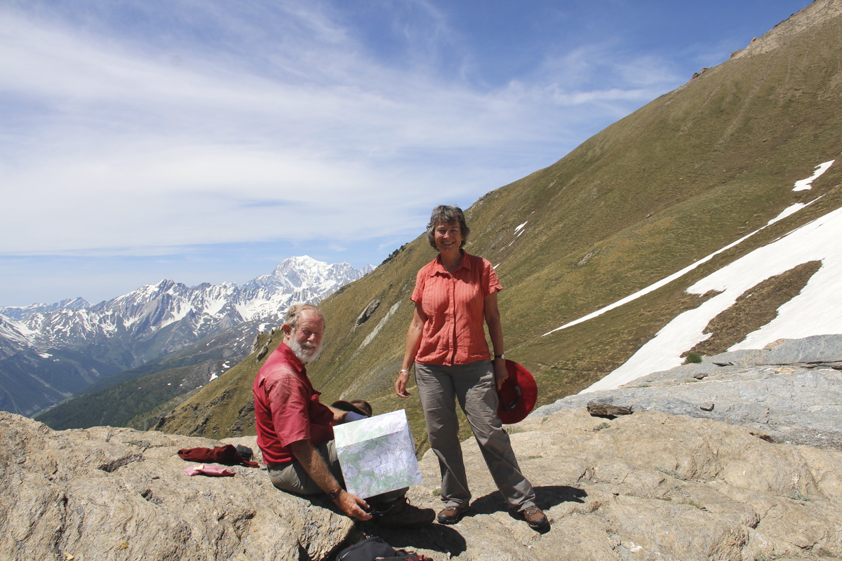
Lunch, Map, Mountain ... |
... at long last,
a good clear view
of Mont Blanc ... |
... 2200m above us,
to the W, a whole 20km! |
|
|
|
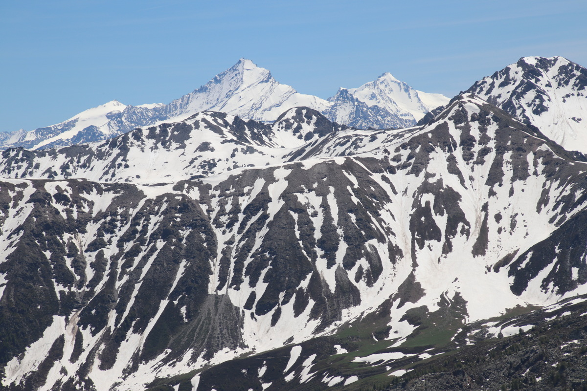
To the E, the 4000m
Gran Paradiso group |
The Track Back |
A Shortcut back,
down-piste |
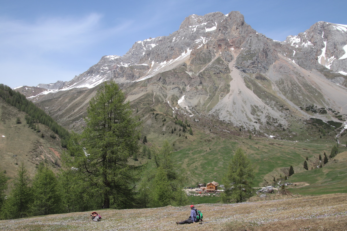
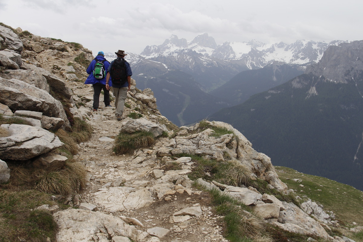
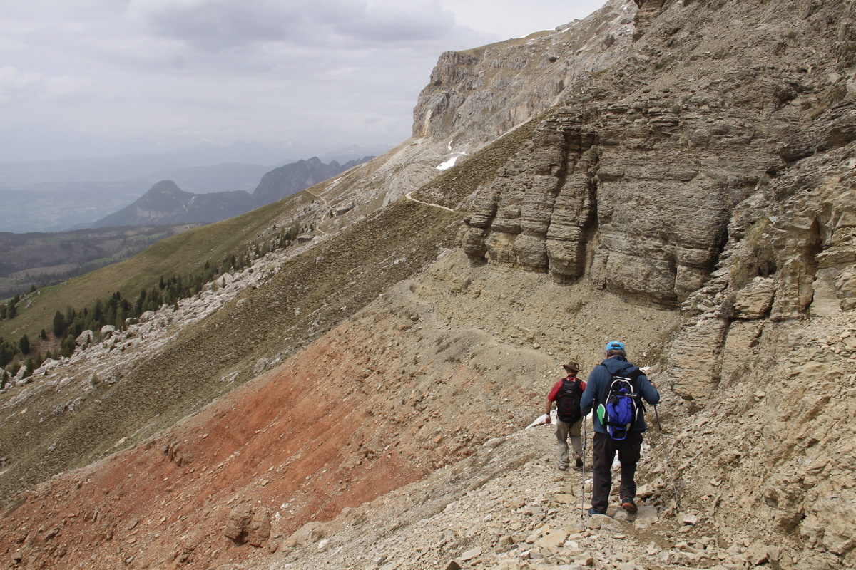
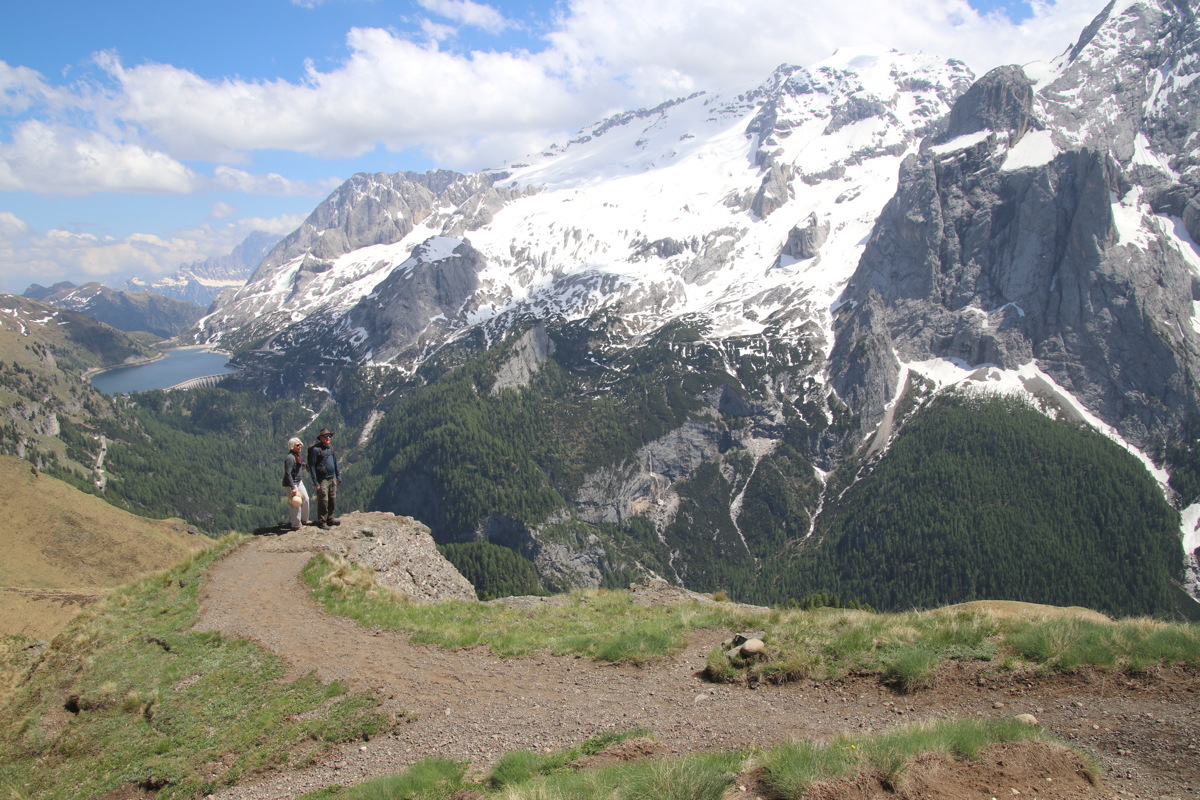
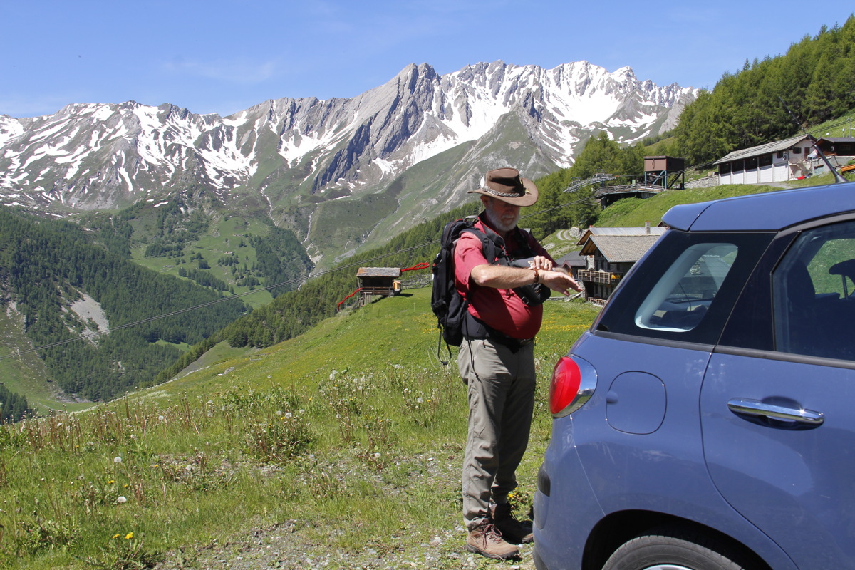
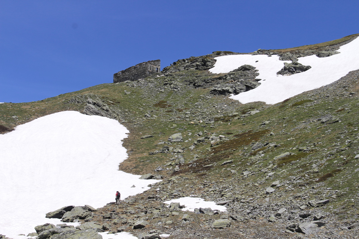
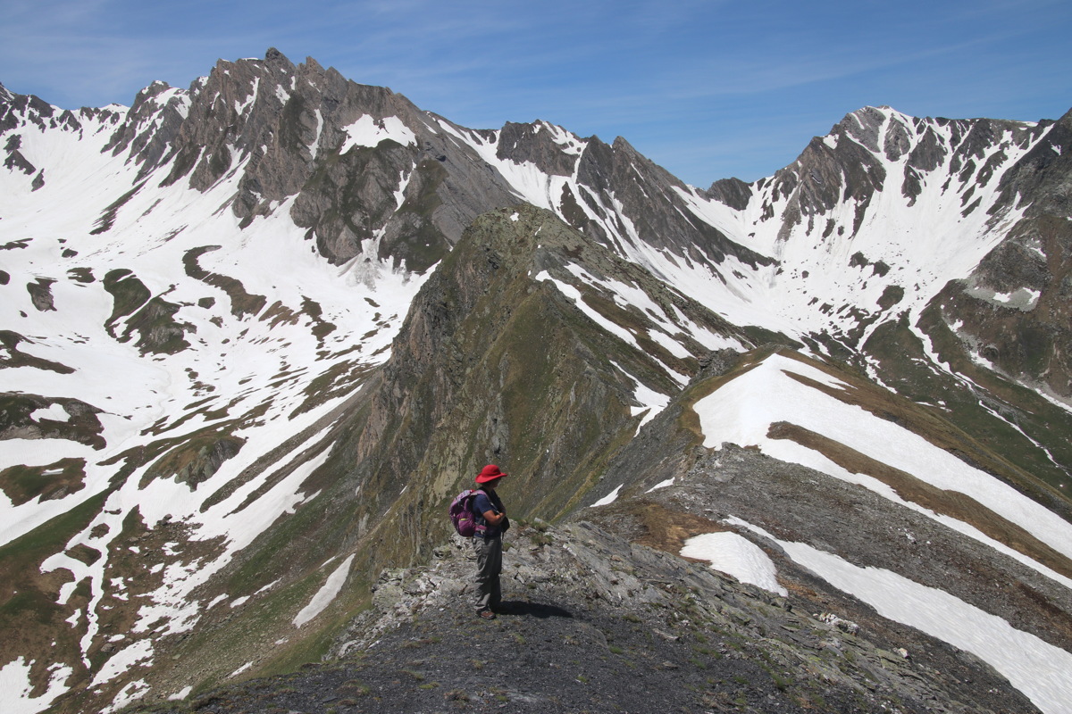
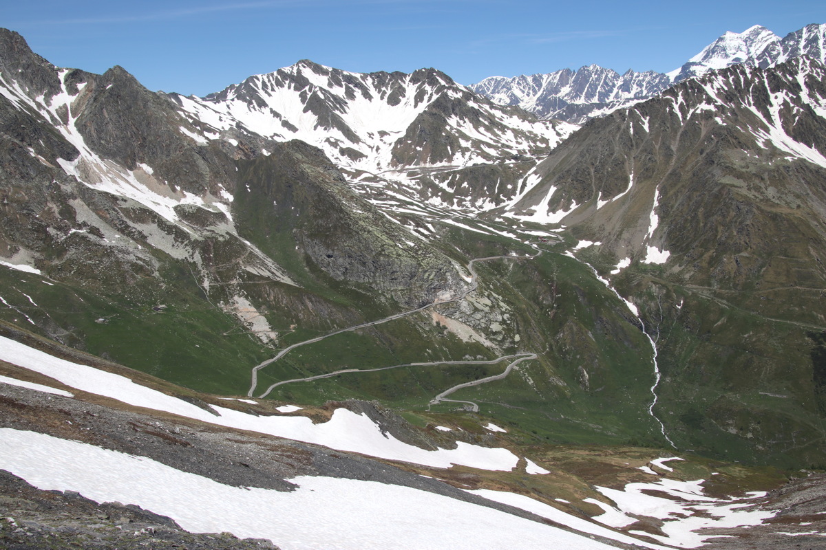
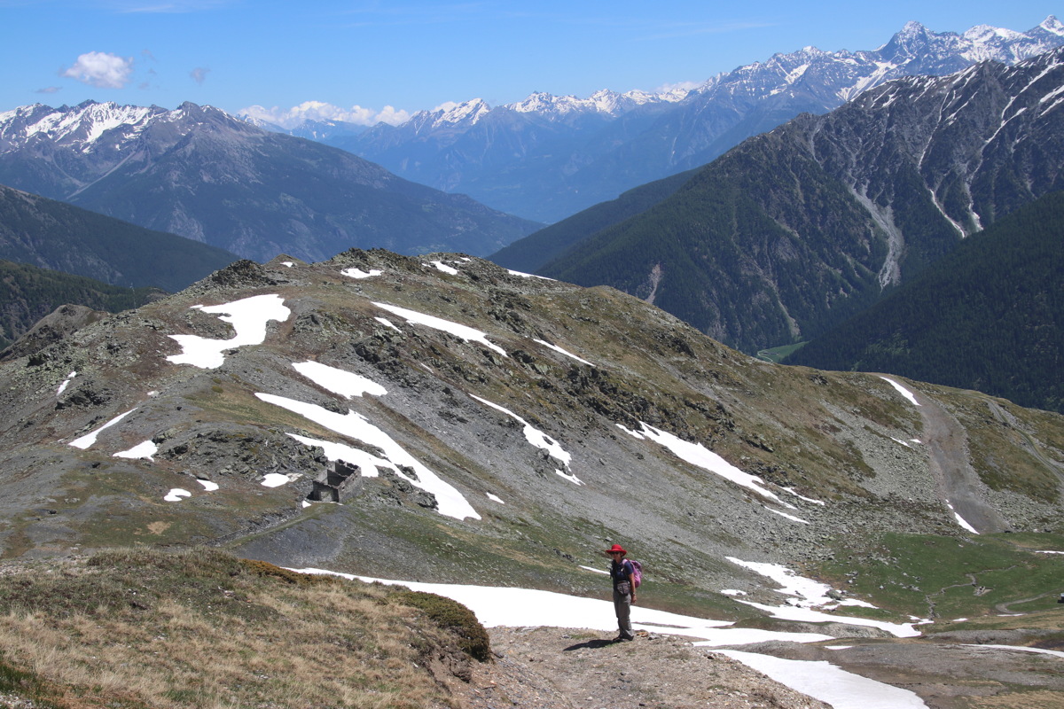
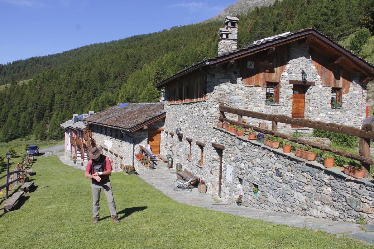
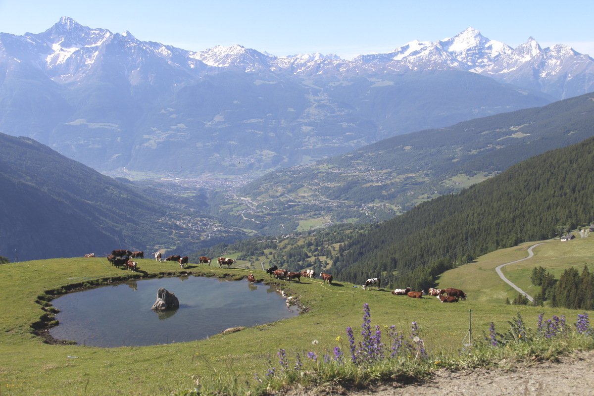
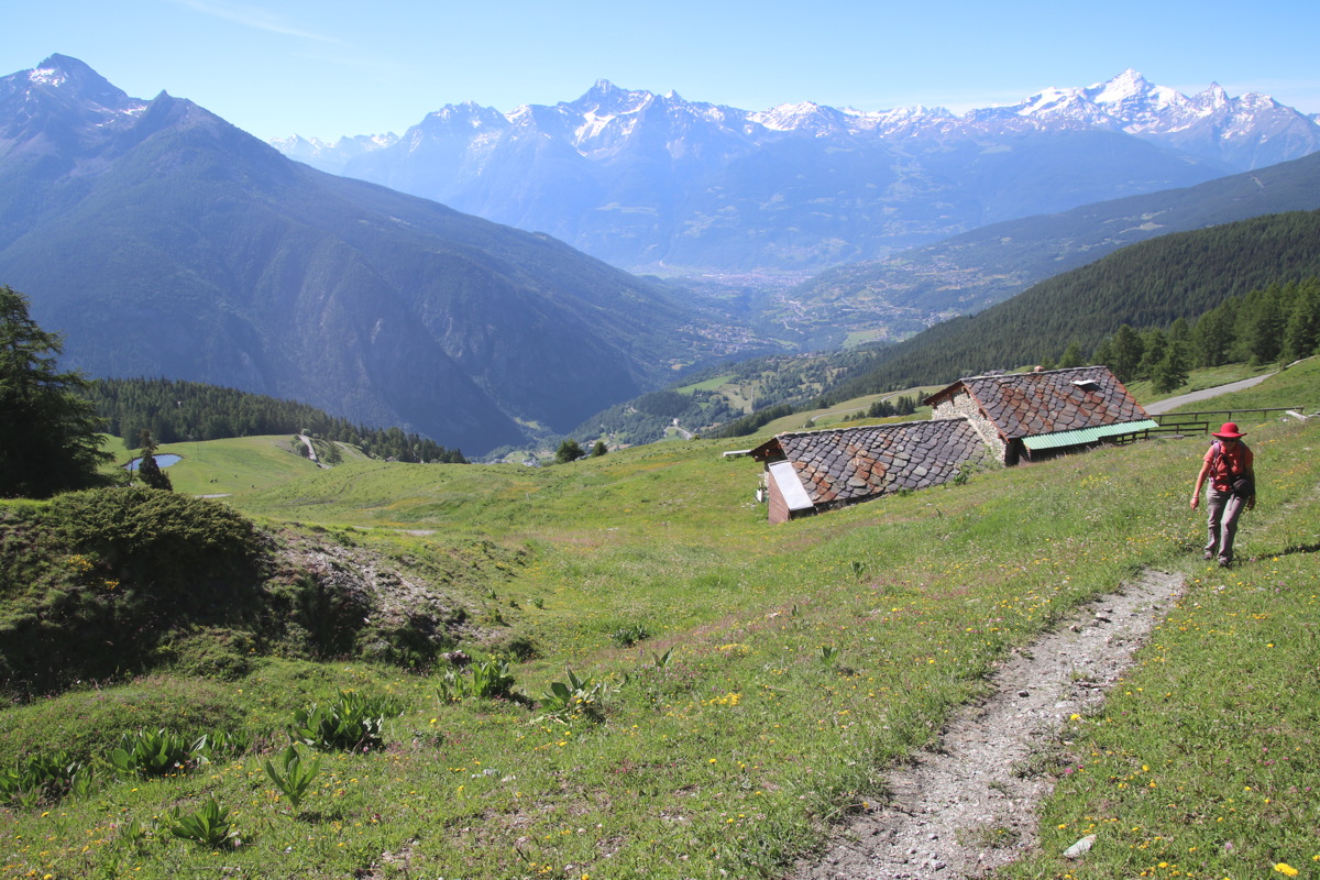
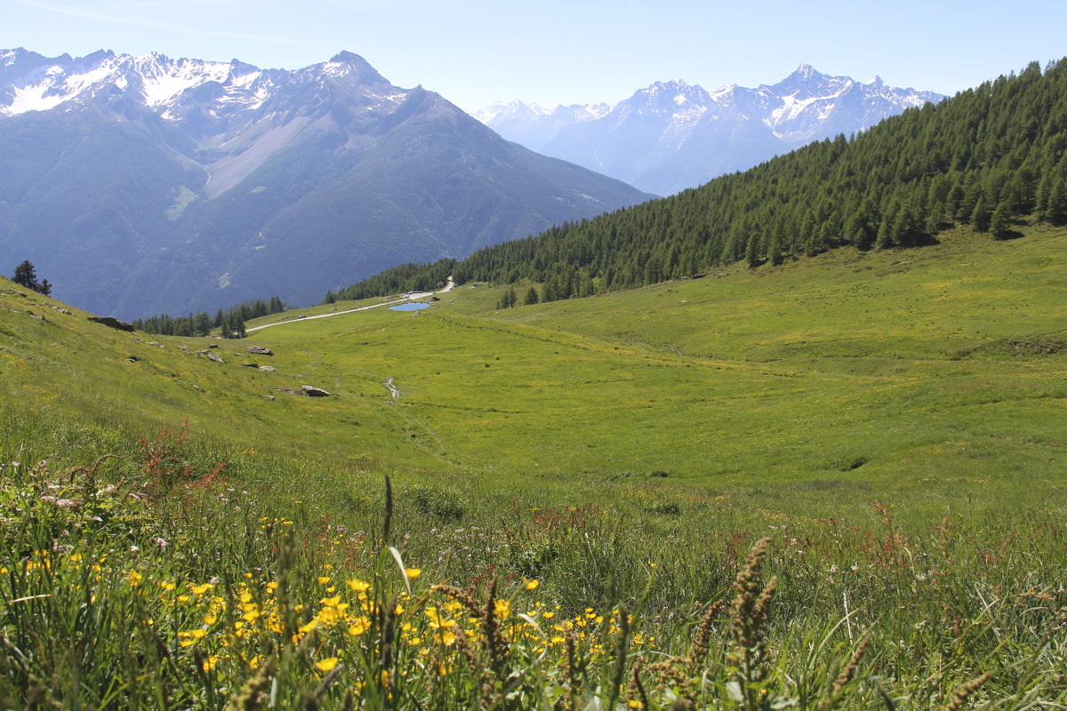
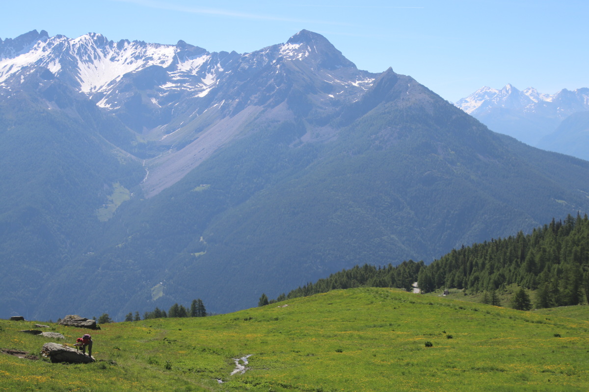
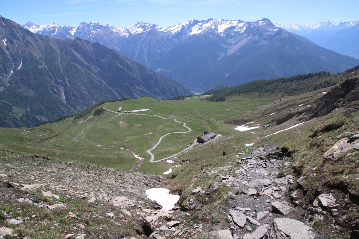
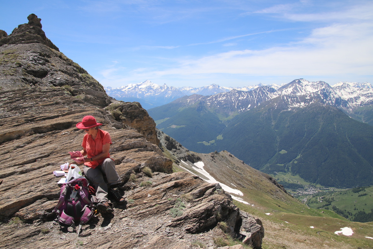
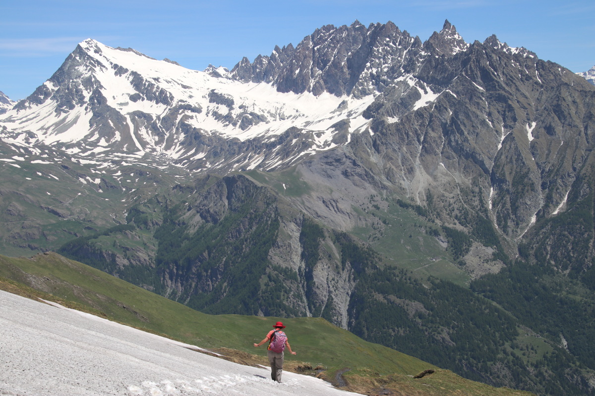
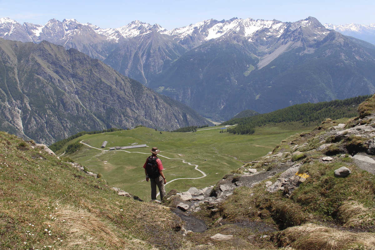
Mon 24 Jun 2019 – Col Champillon – 10km and +/-830m, 1880-2709m
We walked out of our door at Les Vieux Alpages, Vorbes, above Doues, and walked up from 1880m, via an area that celebrates the local, ancient irrigation channels, and the Rifugio at 2435m, to the Col at 2709m. The 2h20m (walking time only!) meant we sustained our target of 350m vertical per hour upwards. Down was only 1h30m, but with many stops, for flowers, views, coffee, a light lunch (carried), tartiflette (back at the Rifugio), and a foot-dabble in the irrigation channel. So 09:30-16:00 = 6.5 hrs in all.
The walk itself was better than the previous day, with a balcony road, cows, a forest, alpine meadows, a 4WD track to the Rifugio, a steep face-walk, and snow-crossings. Better still, it worked upwards in a spiral, such that the views were ever-changing. And the views were, if anything, better than the previous day.
|
|
|
|
The start, at
Les Vieux Alpages |
View back N to
Aosta, with cows |
An easy path, for now |
Canals, at the end
of the road, 1/4 up |
|
|
|
|
Looking back down
to canals, lake |
A mountain to
the N, with pansies |
Linda hard at work |
Across the valley, NE |
|
|
|
|
Up towards the
Rifugio and Col |
Above the Rifugio |
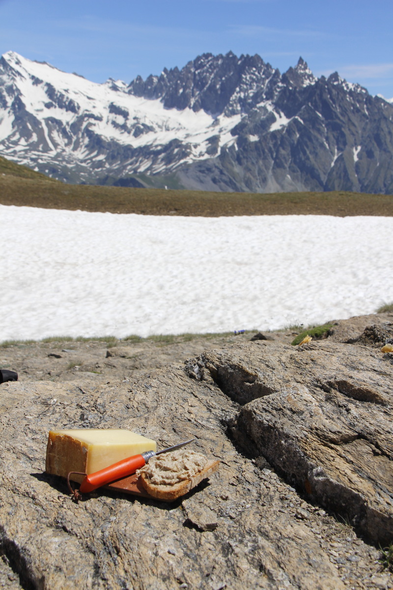
The lunchspot ... |
... pork rillettes
and Beaufort cheese |
|
|
|
|
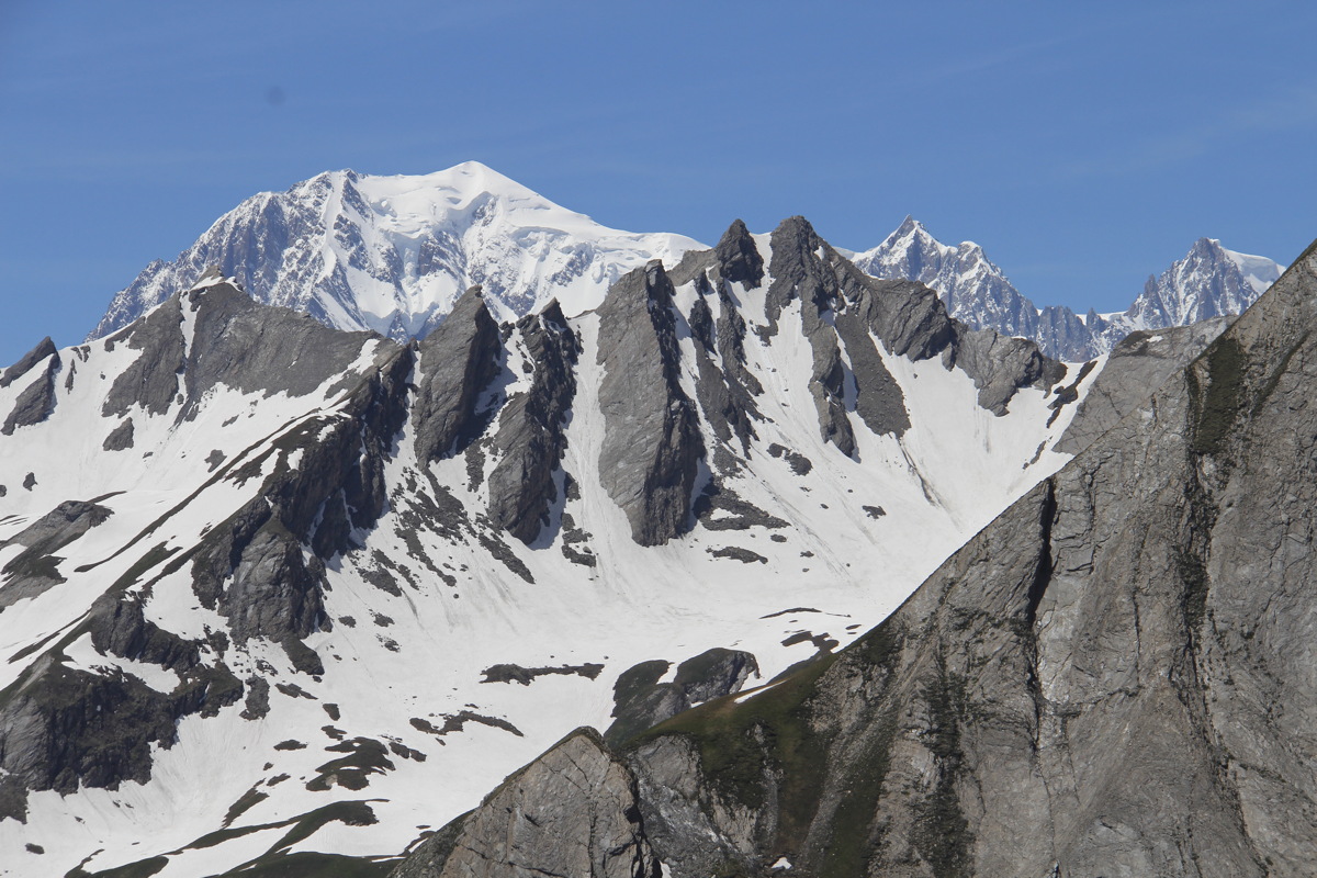
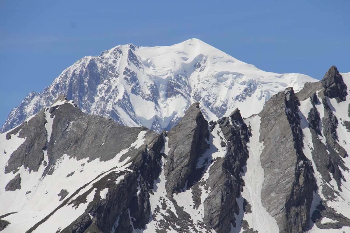
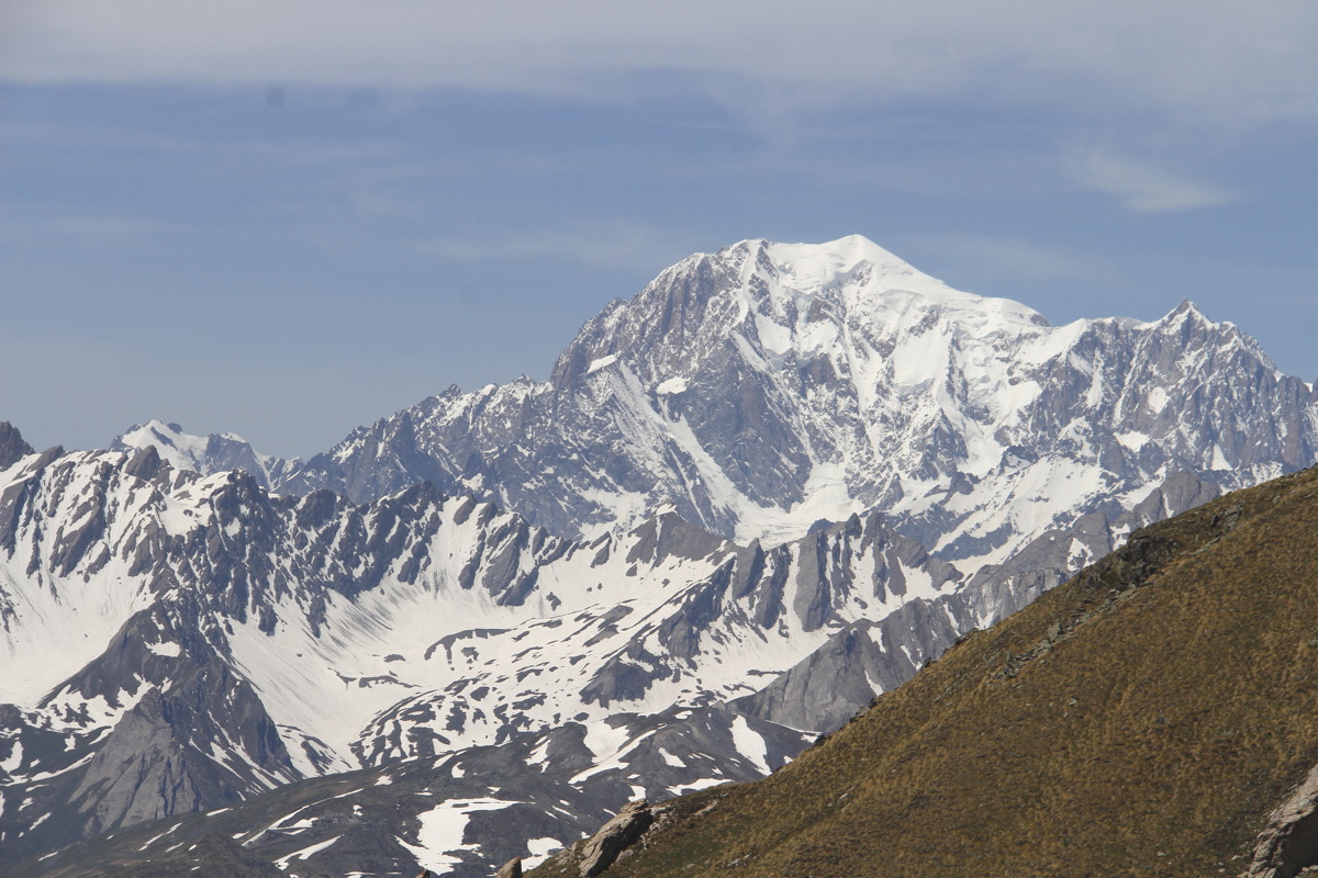
Mt Blanc, at 35km ... |
... and telephoto'd |
N from the Col,
down to the main valley |
The adjacent peak and
S to Gran Paradiso |
|
|
|
|
Down from the Col |
The track down ... |
... with the Rifugio's
dog for company |
What canals are really
for: foot-cooling |
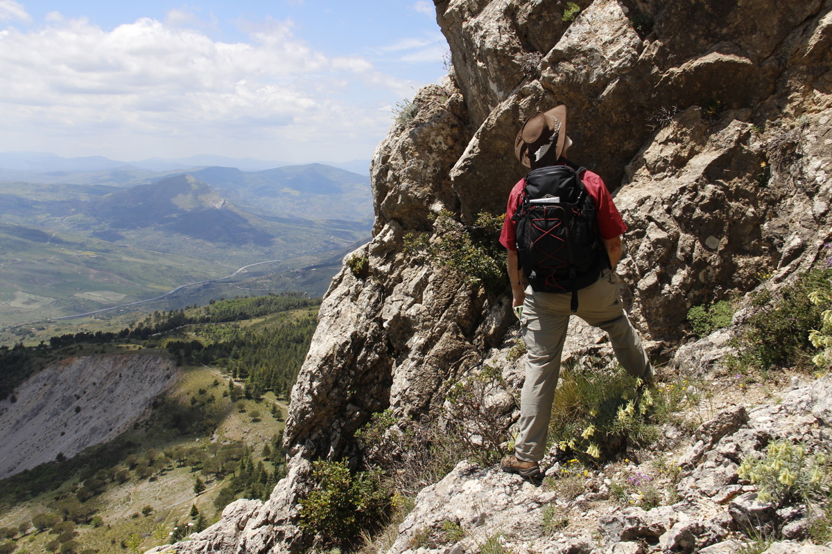
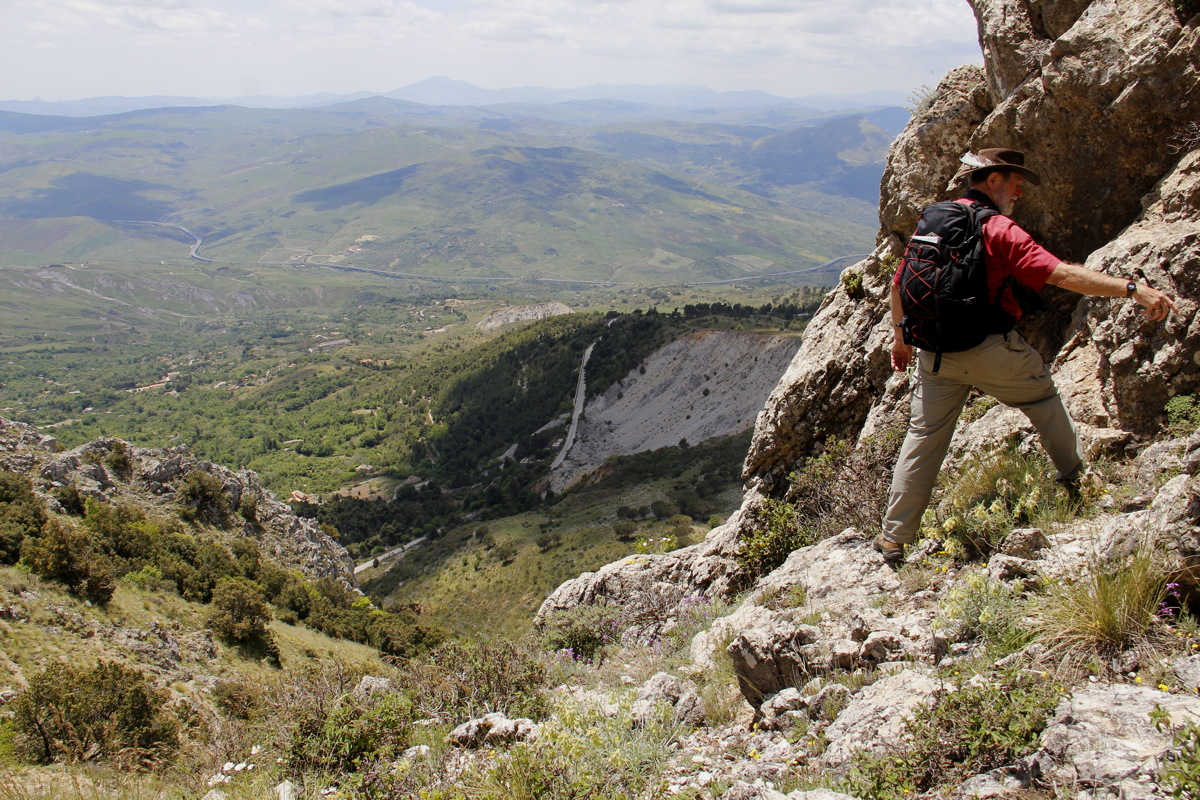
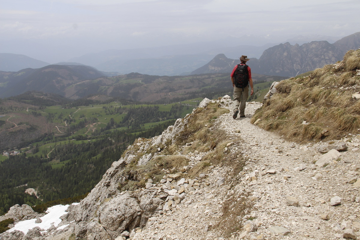
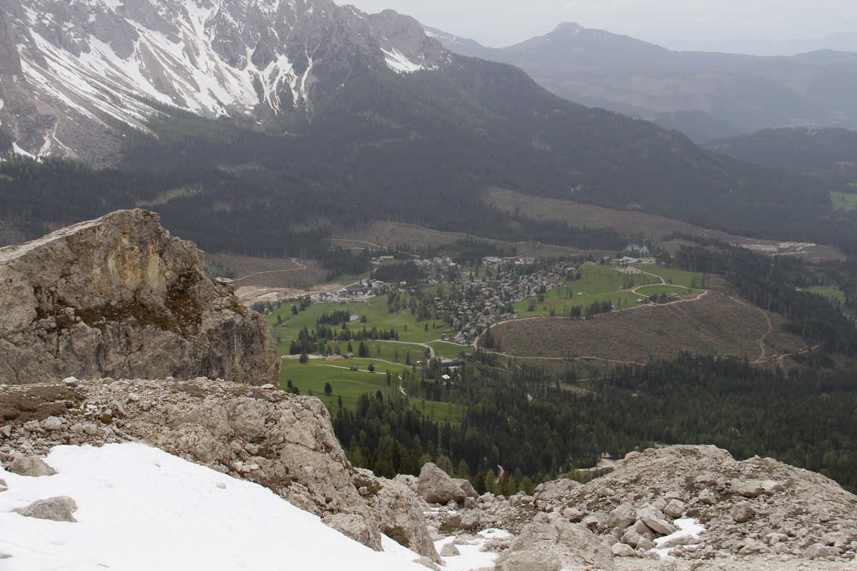
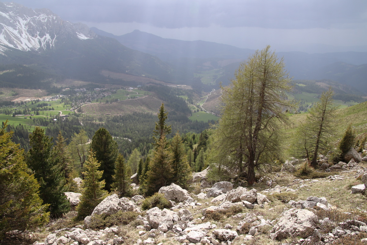
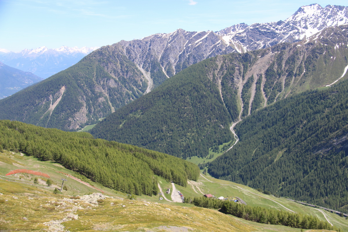
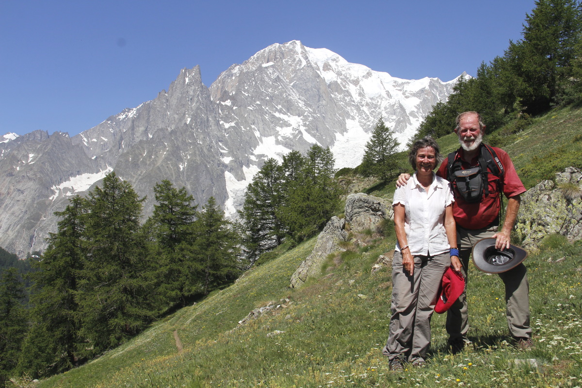
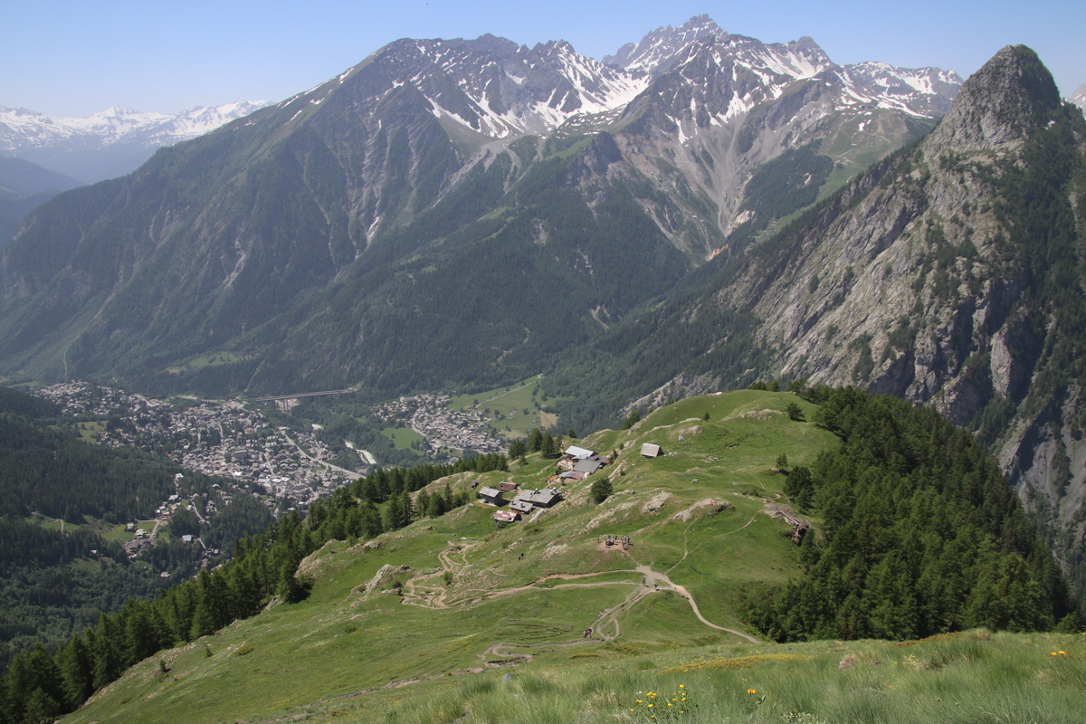
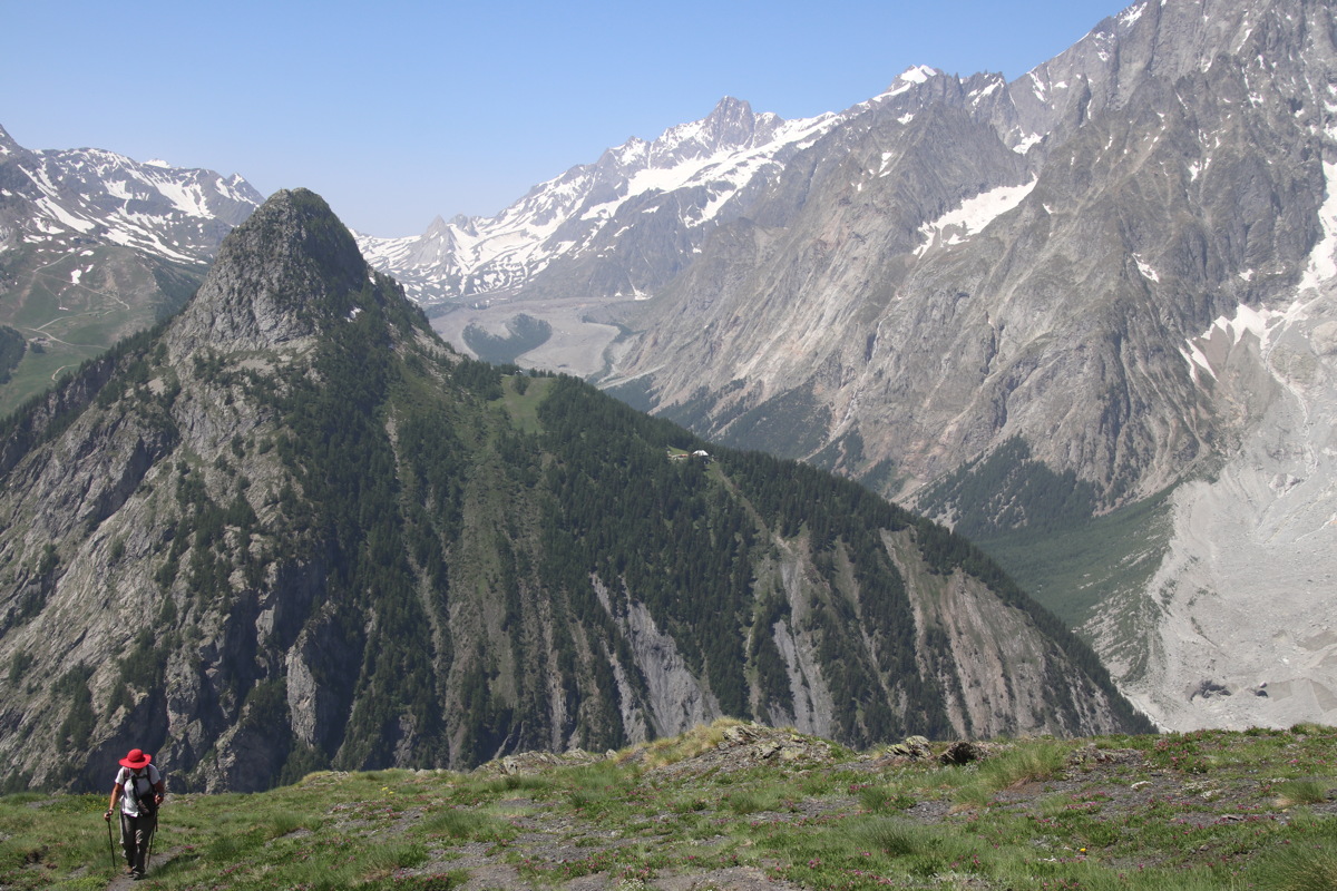
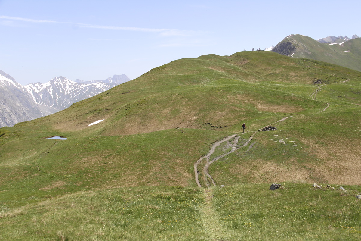
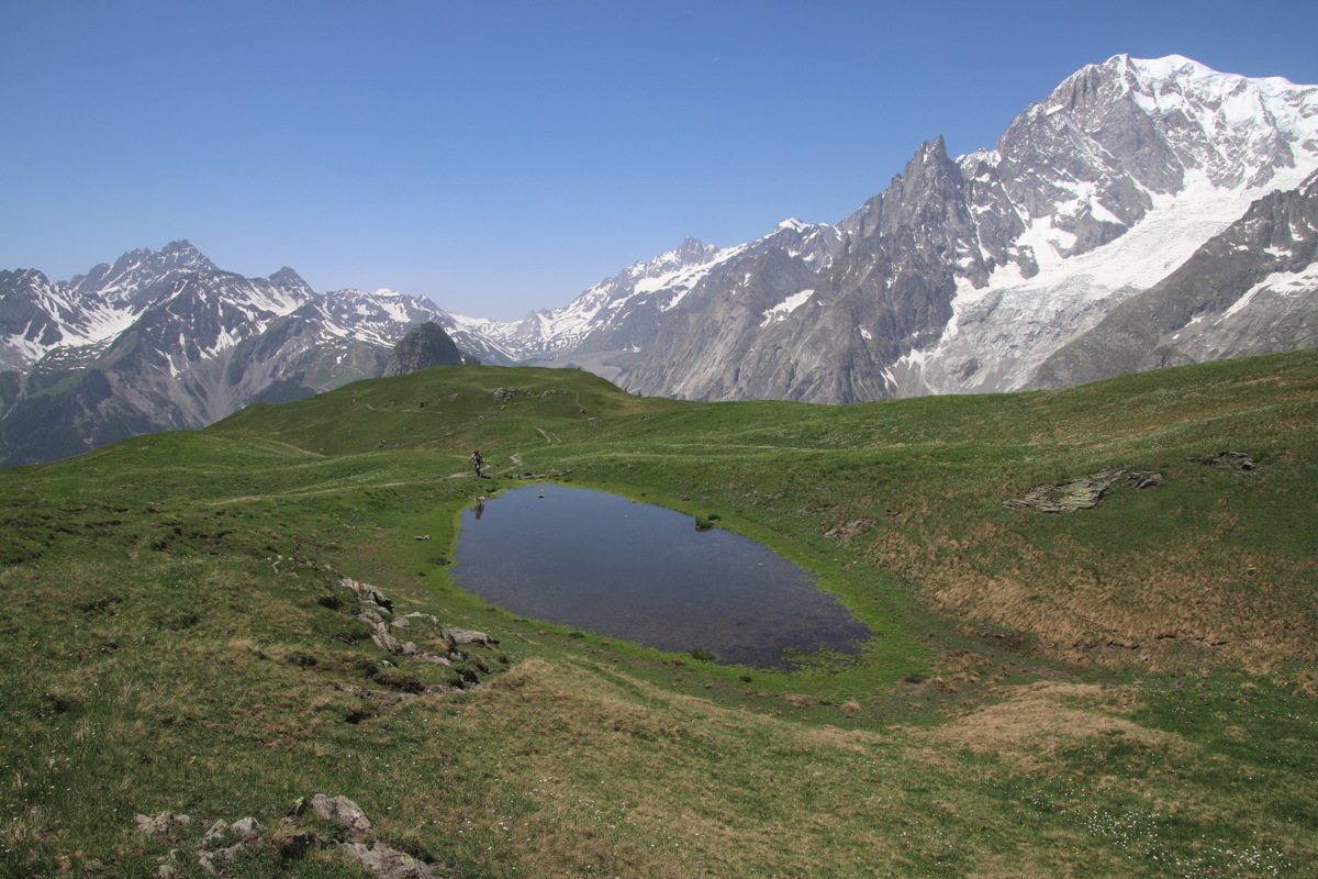
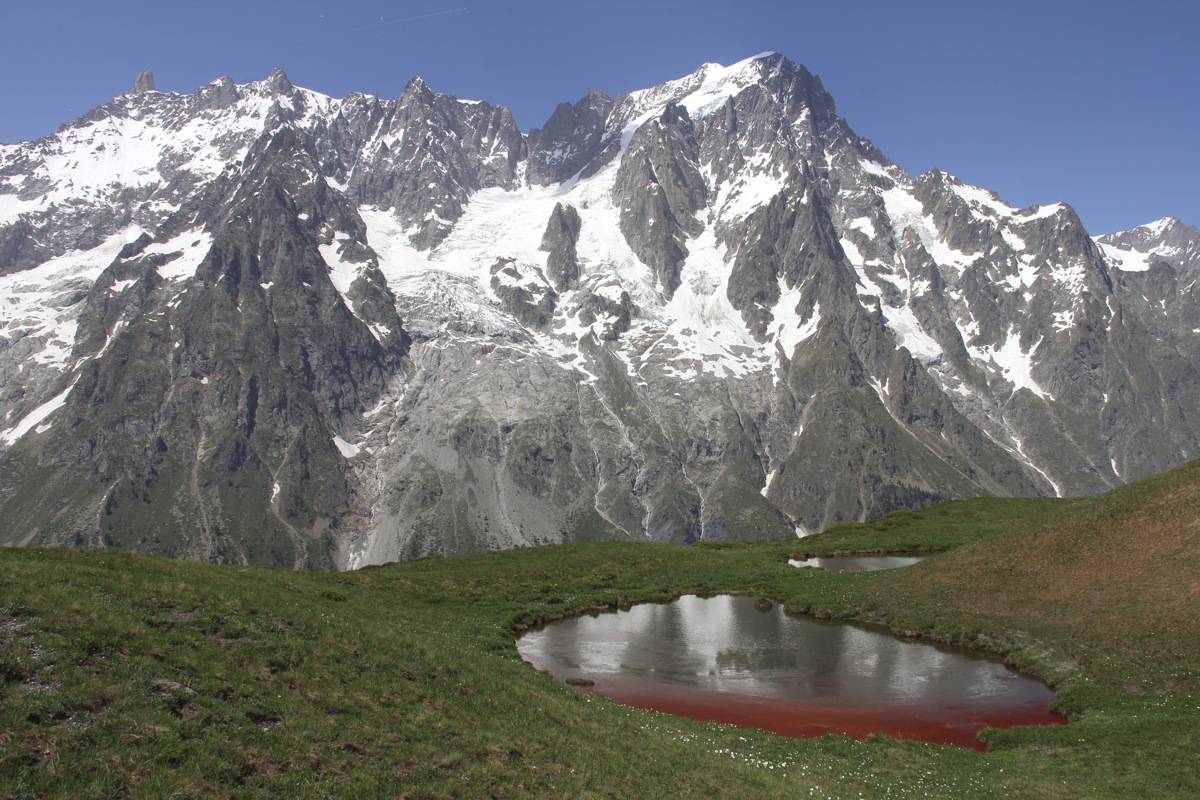
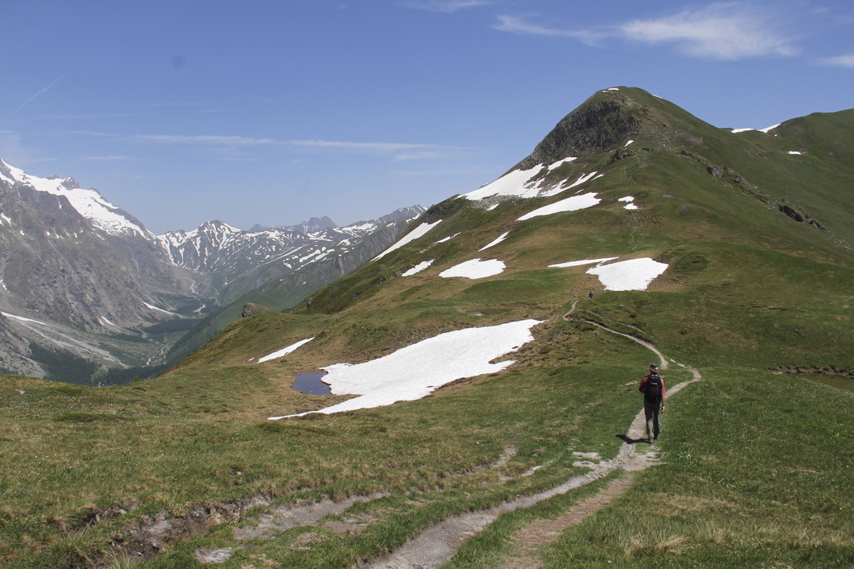
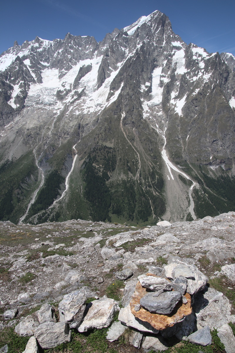
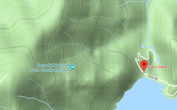
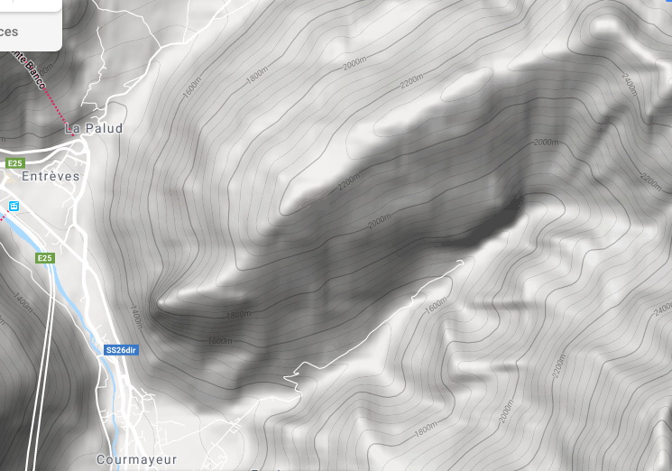
Wed 26 Jun 2019 – Mont Blanc Views – 13km and +/-1200m, 1380m-2533m
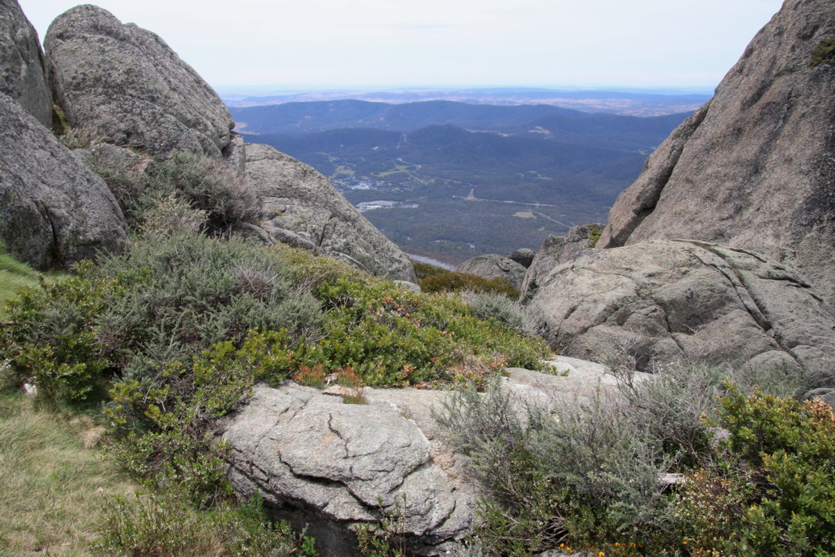
We checked several options with the Pre-Saint-Didier tourist office. The best walk picked itself. The views of Mont Blanc and Grand Jorasses were superb. But it's a very steep climb for the first 800m / 2hrs (well over double the Corin Dam to Stockyard Spur face, and considerably steeper). It follows the Tour du Mont Blanc, from the top of Courmayeur (Villair Dessus) at 1380m, as far as Rifugio Bertone at 1990m, then NE along a spur to Tete Bernarde at 2533m. The height-difference also satisfied an inbuilt need for a 1000m walk this year, at 69-3/4 (in case I never manage one after I turn 70). Here's a map.
|
|
|
|
Halfway up
the 600m face |
Atop the 600m face |
Above Rifugio Bertoni,
Courmayeur in the valley |
|
|
|
|
|
The ridge up to
Tete du Bernarde |
Mt Blanc (4800m),
8km away |
Grand Jorasse (4000m),
5km away |
Assault on the Tetes,
with Col Ferret to N |
|
|
|
|
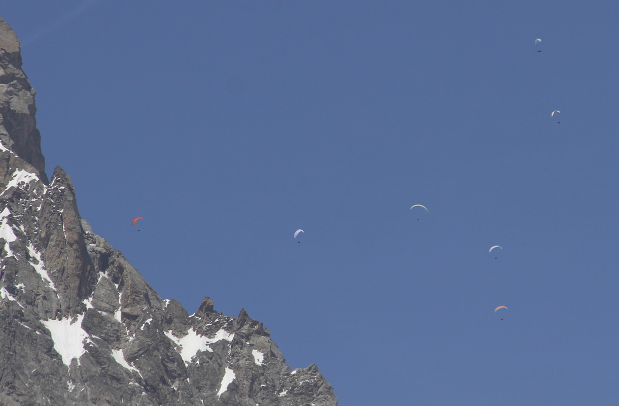
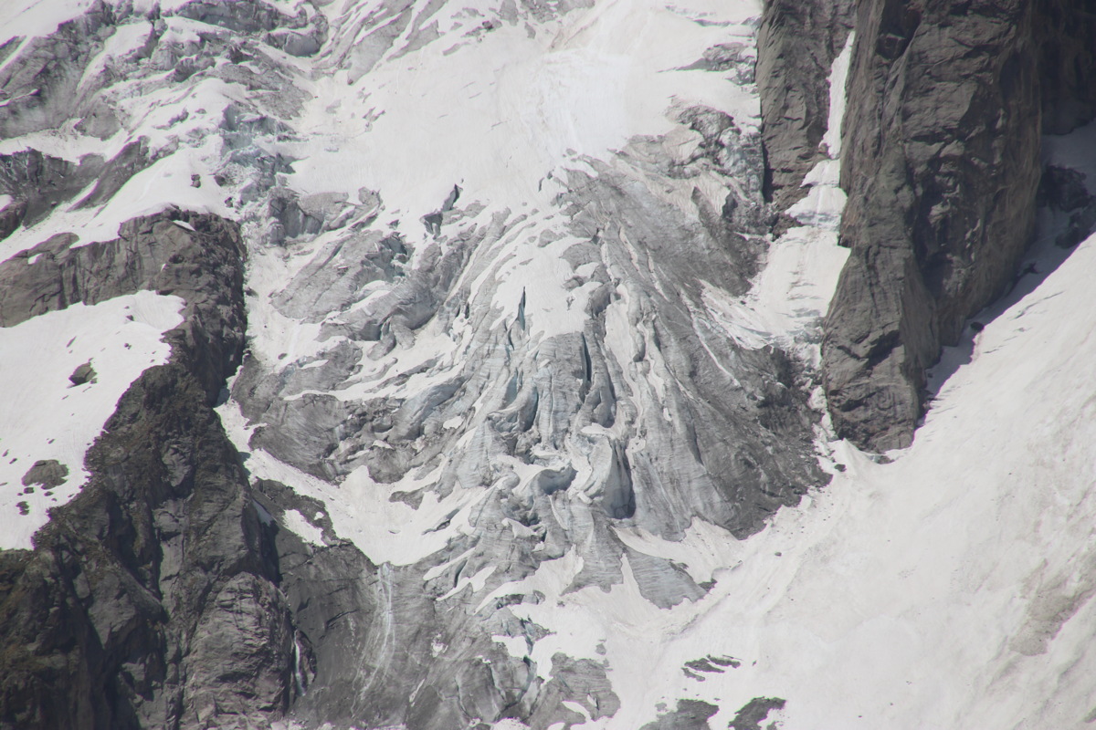
Grand Jorasse from
Tetes du Bernarde |
Hang-Gliders above it |
The toe of one of
GJ's dying glaciers |
Back down the steep
wall to Courmayeur |
Tasman Peninsula
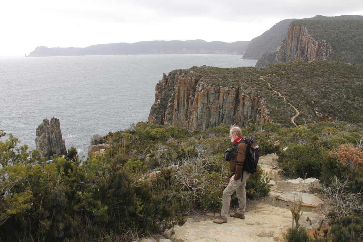
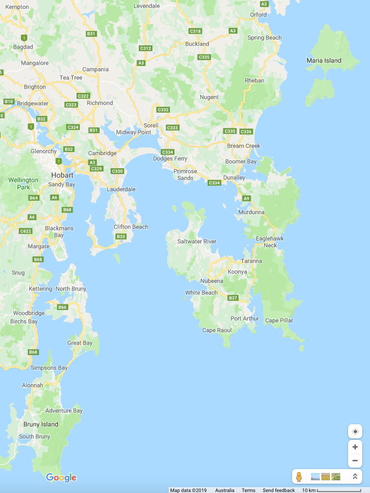
This forms the extreme South-Eastern corner of Tasmania (map here), a mix of an 1840s penal colony, some agriculture, some clear-felling, some protected forests, cliffs, and sub-antarctic weather.
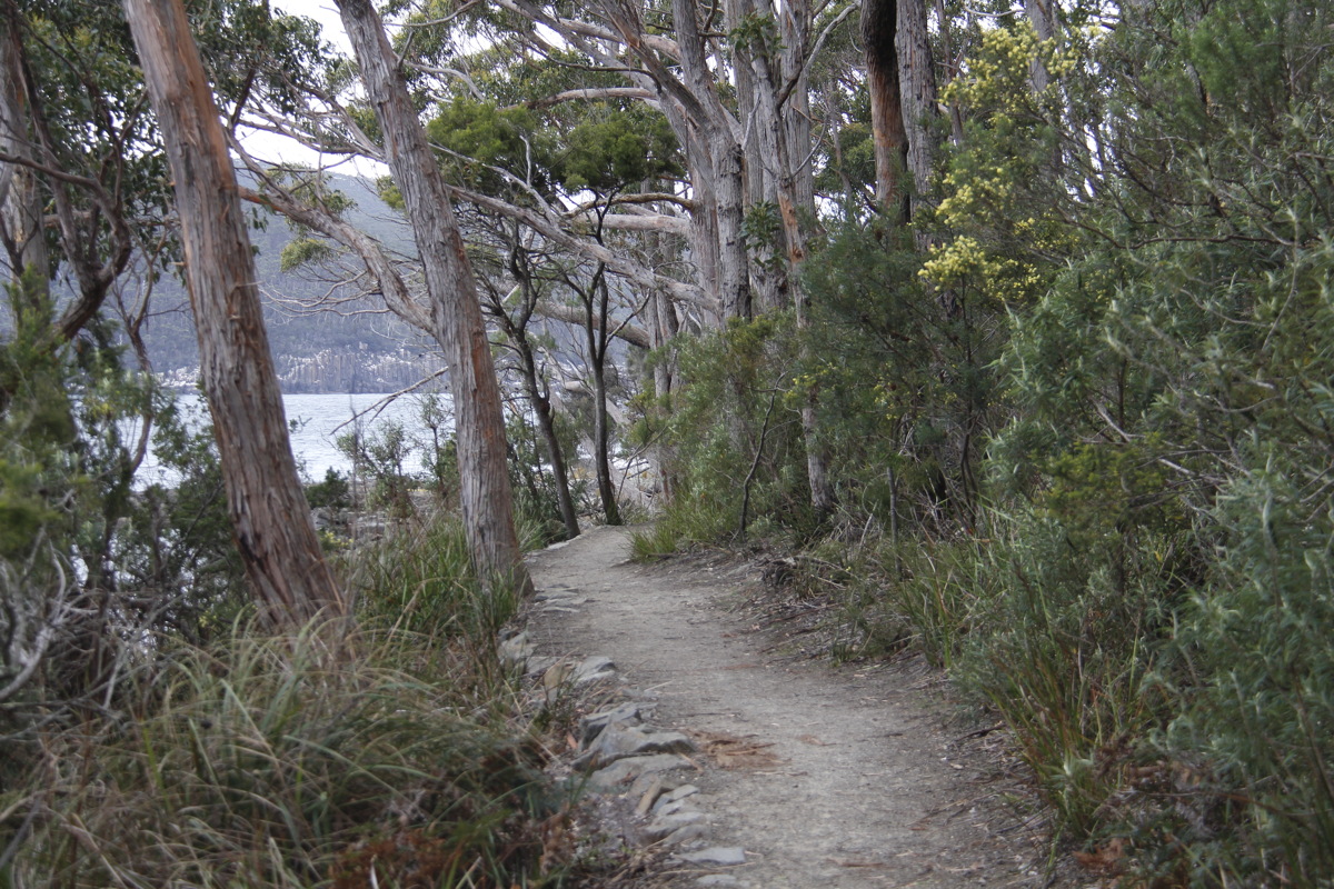
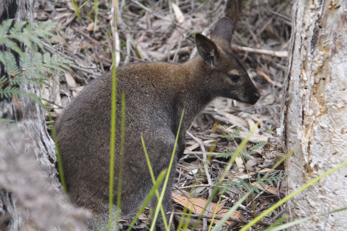
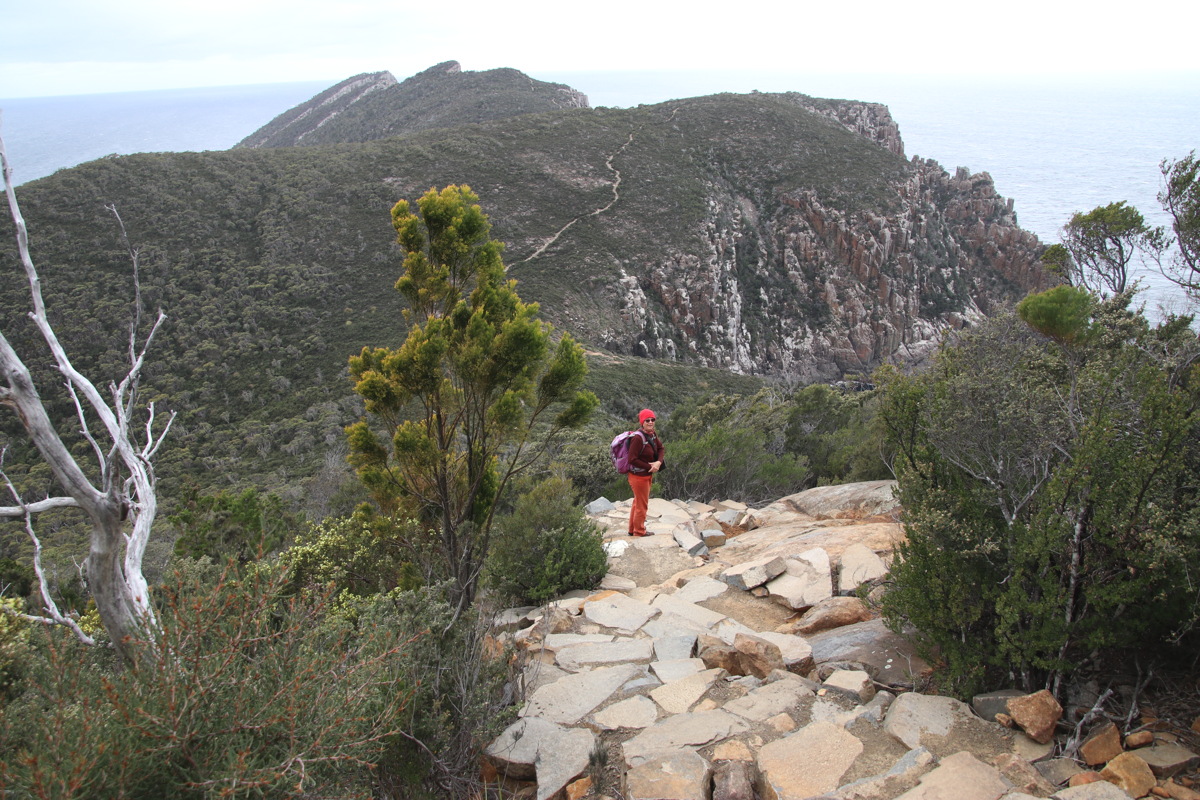
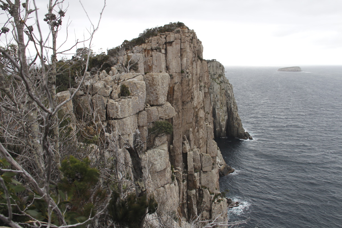
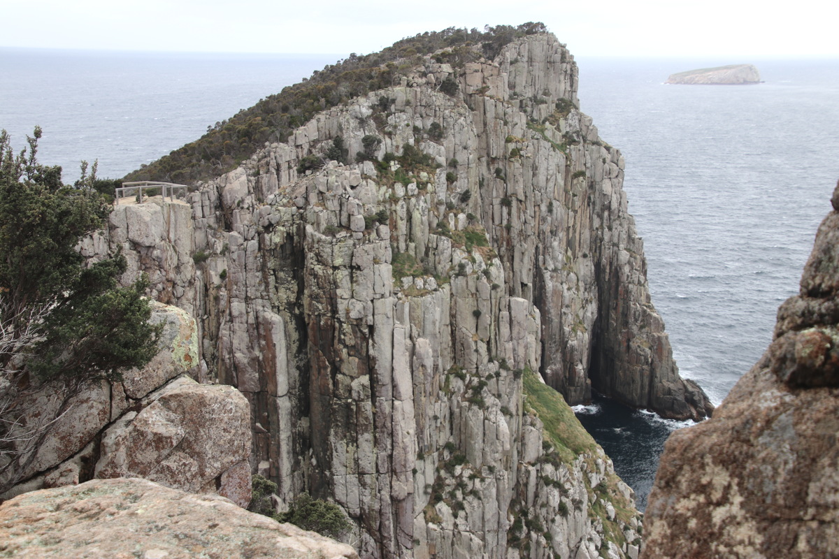
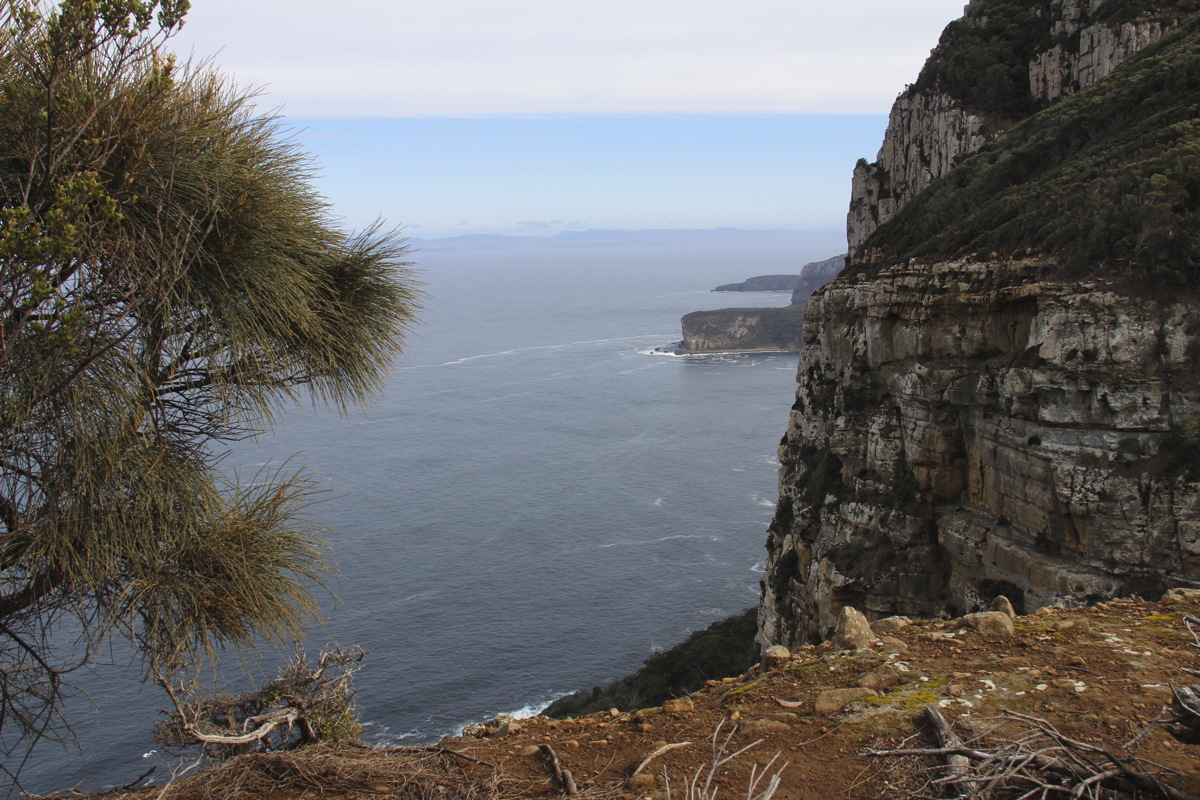
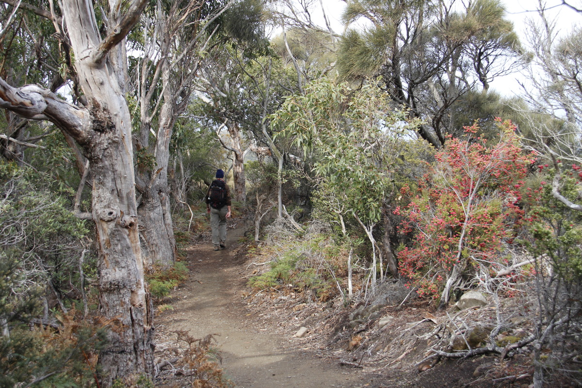
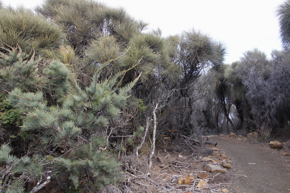
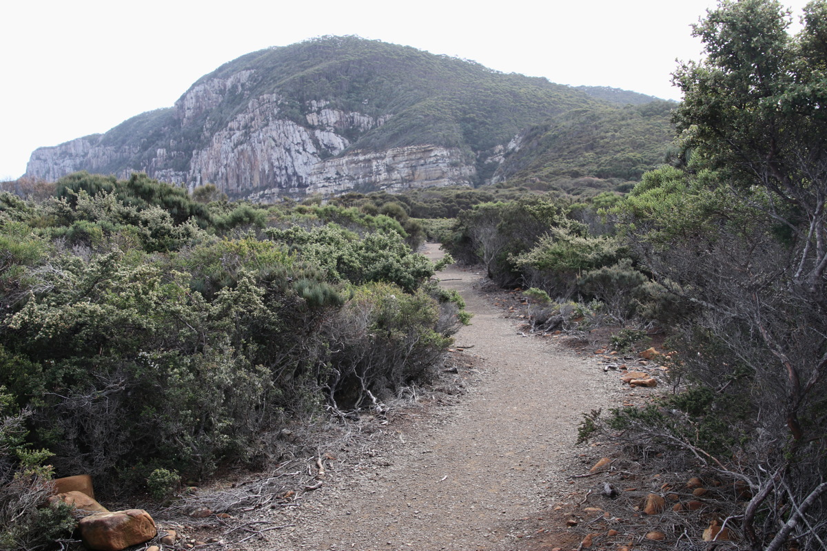
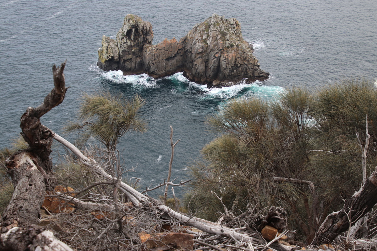
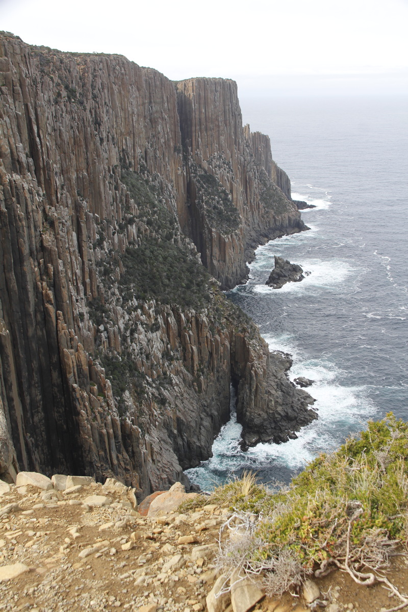
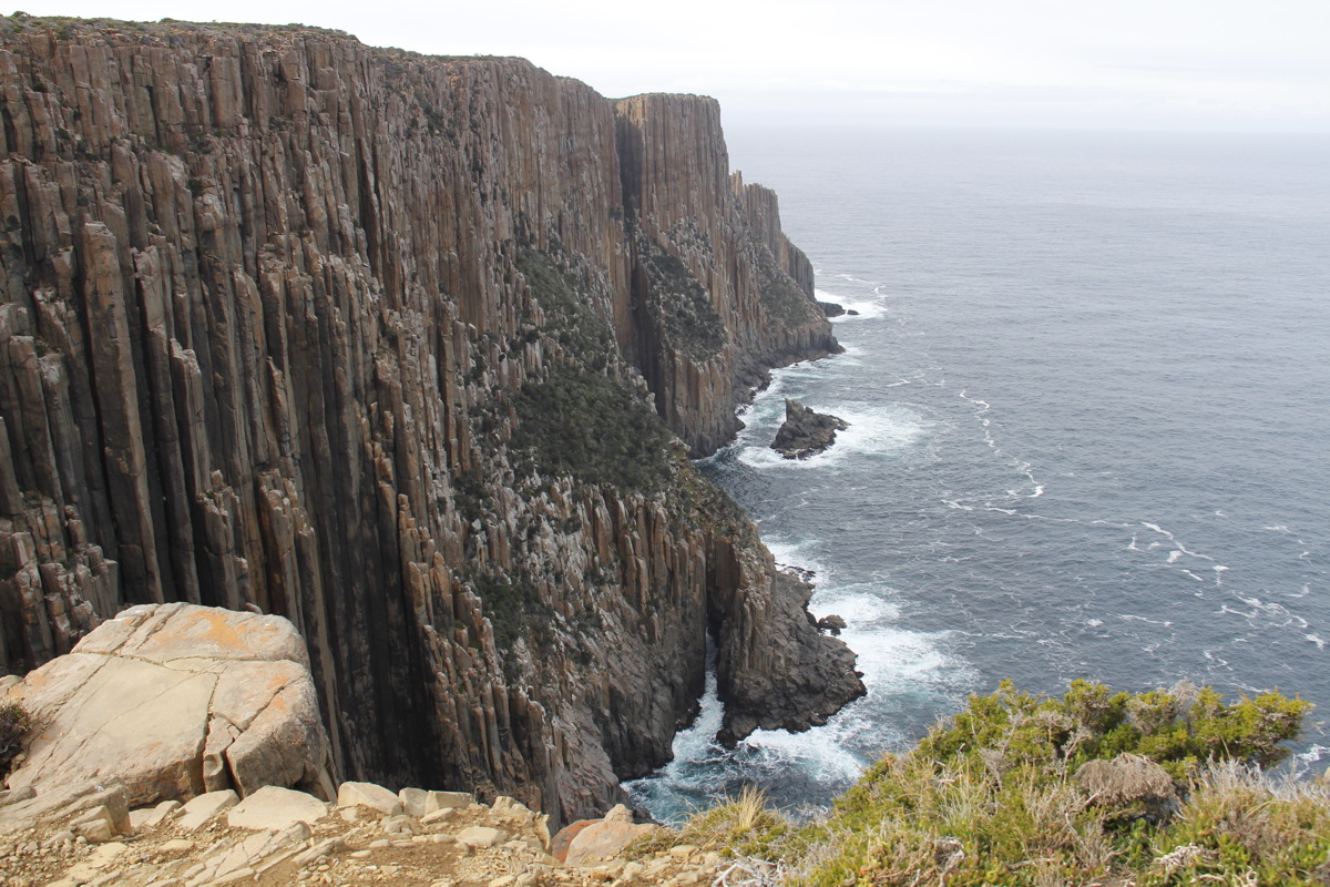
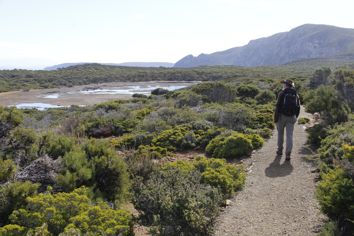
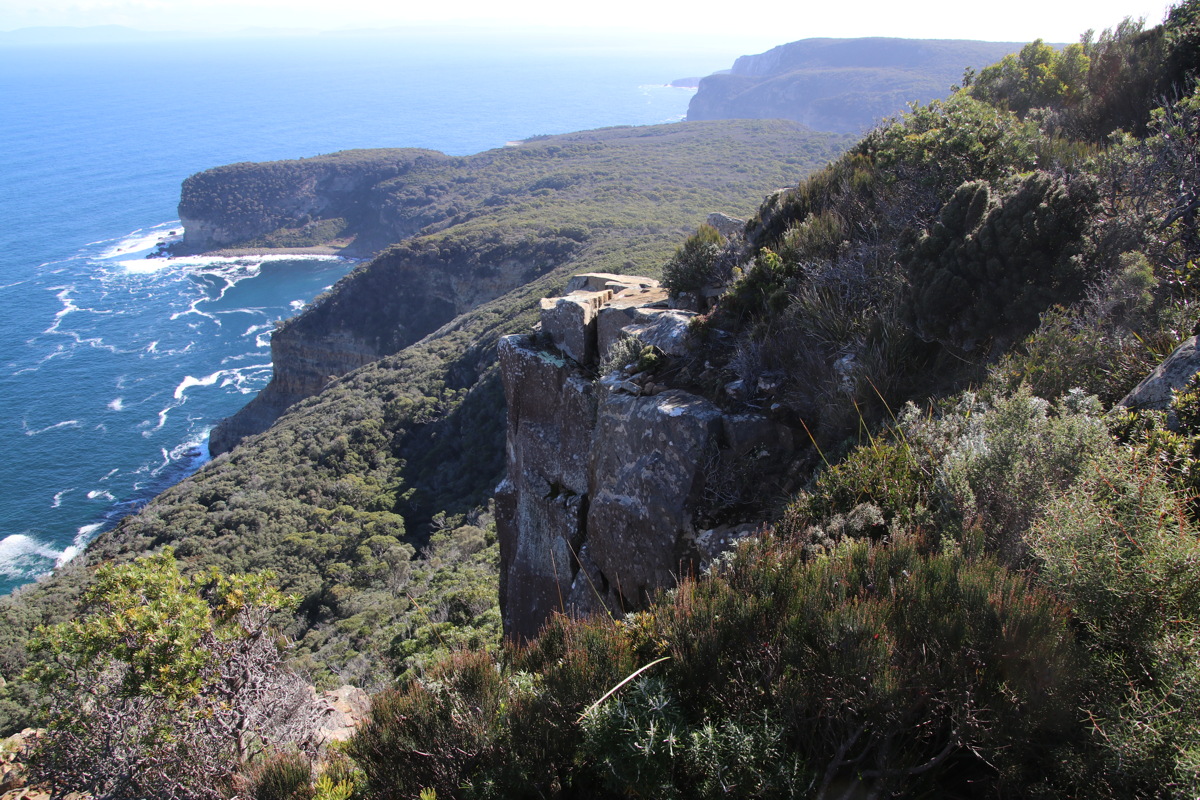
Map and outline here. A brisk 4-hour return walk 09:30-13:30, to beat the approaching front, which arrived while we lunched under shelter back at the car-park. Varied vegetation, very good path, many steps, great cliffs.
|
|
|
|
The path outbound |
Unconcerned pademelon |
Admirable steps |
The path, the cape ... |
|
|
|
|
... with fall and rise |
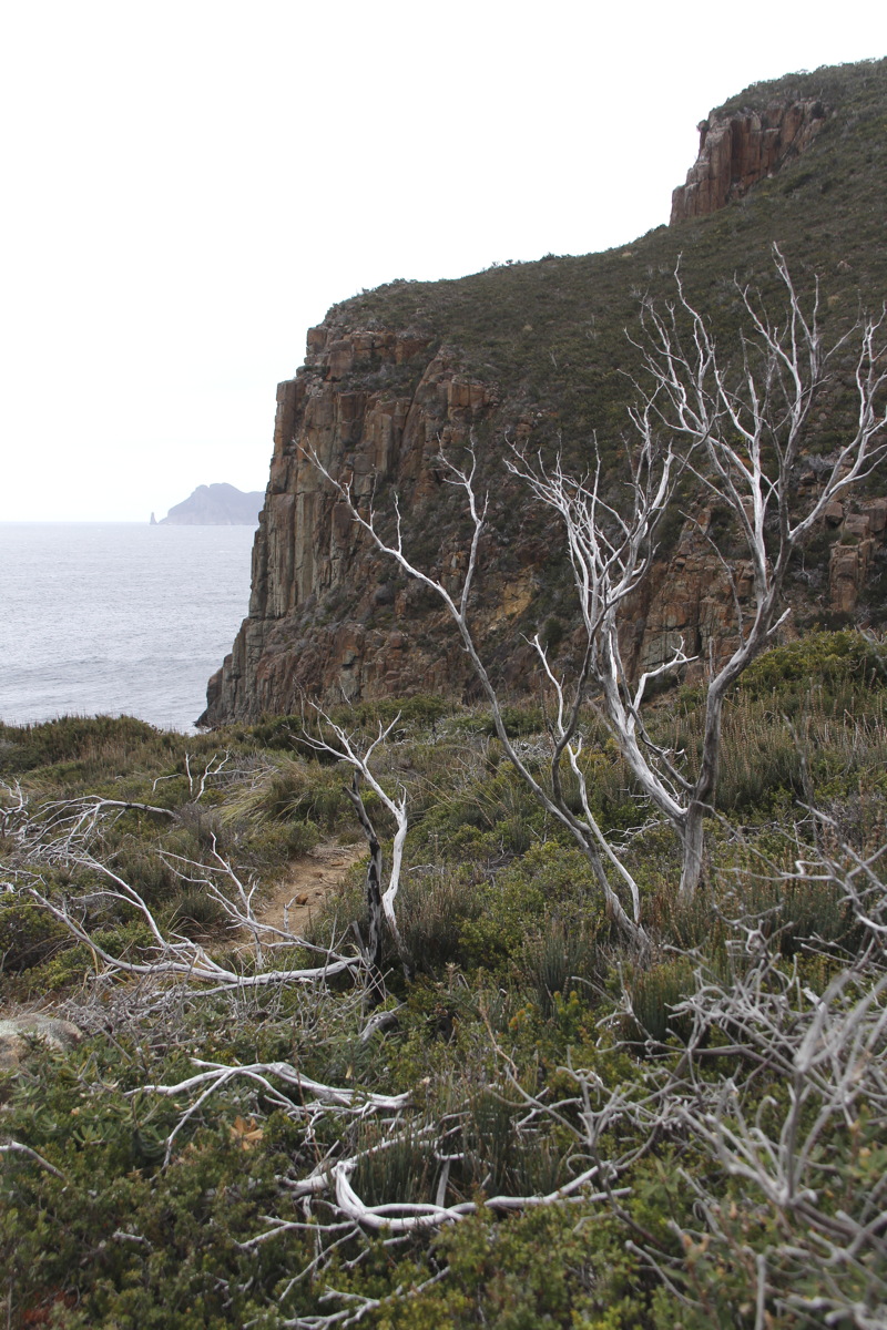
Cliff, with
Mt Pillar beyond |
Cliff, and
Hippolyte Island |
The cape, detached
island, Island |
|
|
|
|
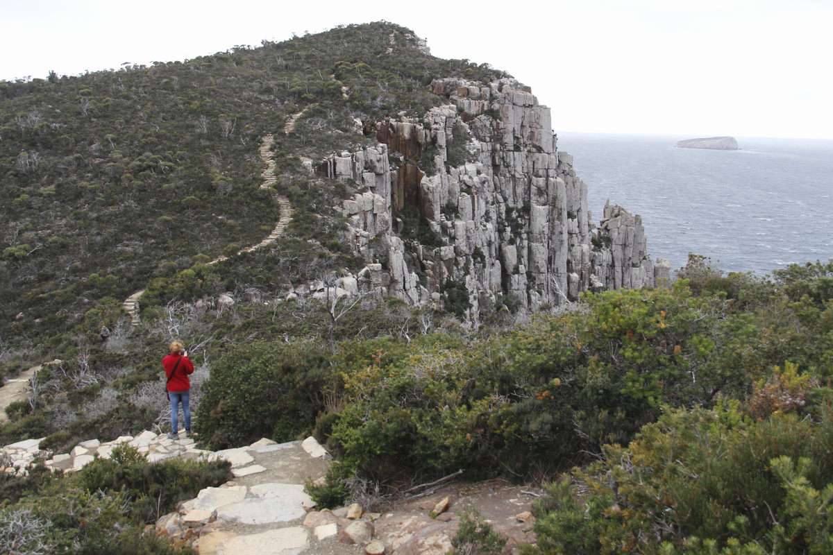
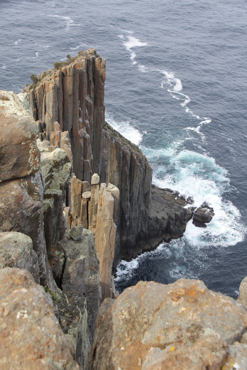
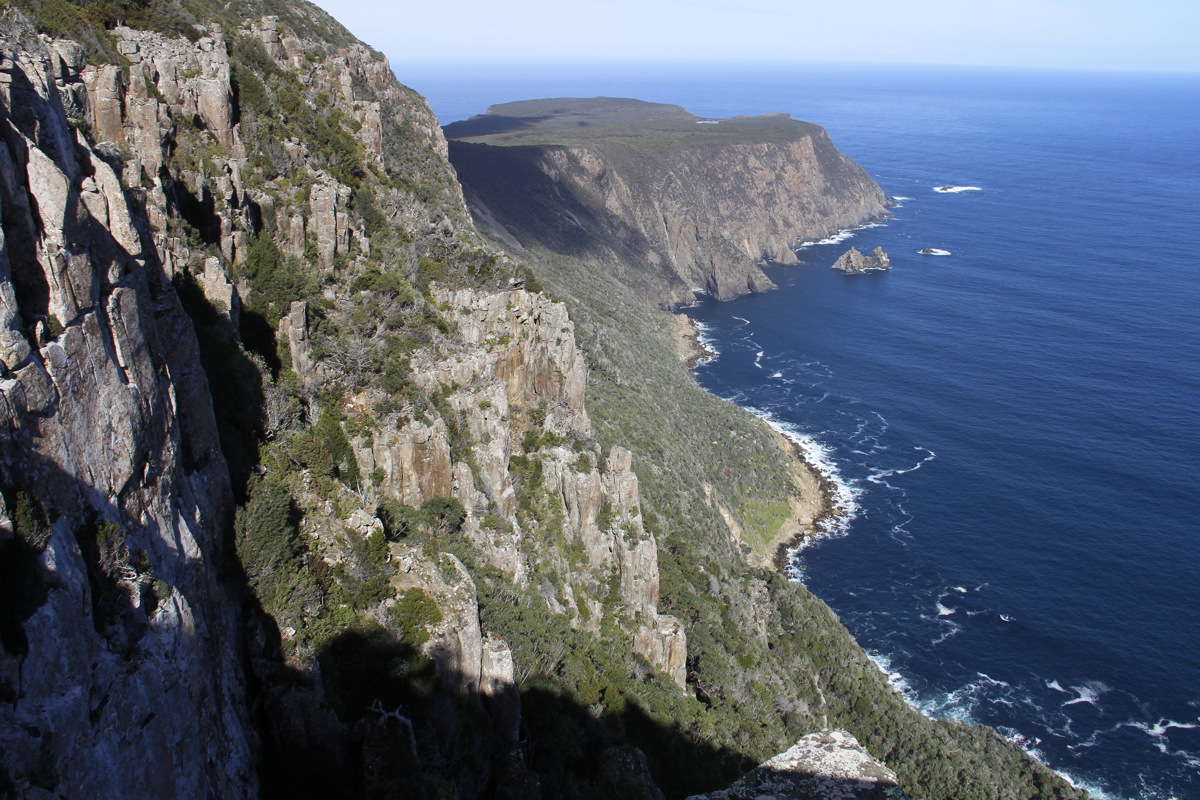
Organpipes,
Cape Pillar |
The cape lookout,
and the islet |
Sea-cave |
The track back |
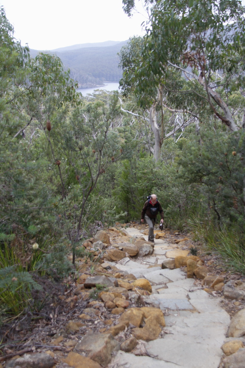
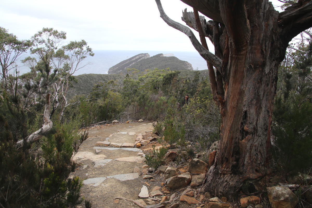
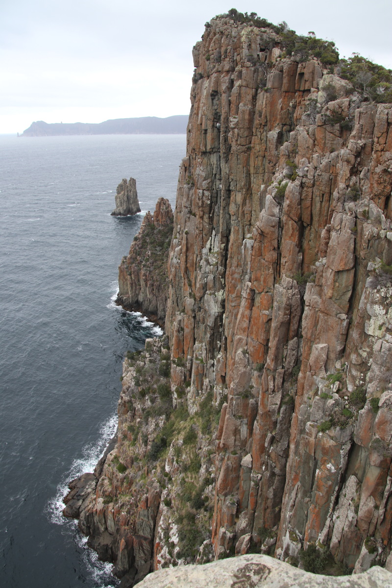
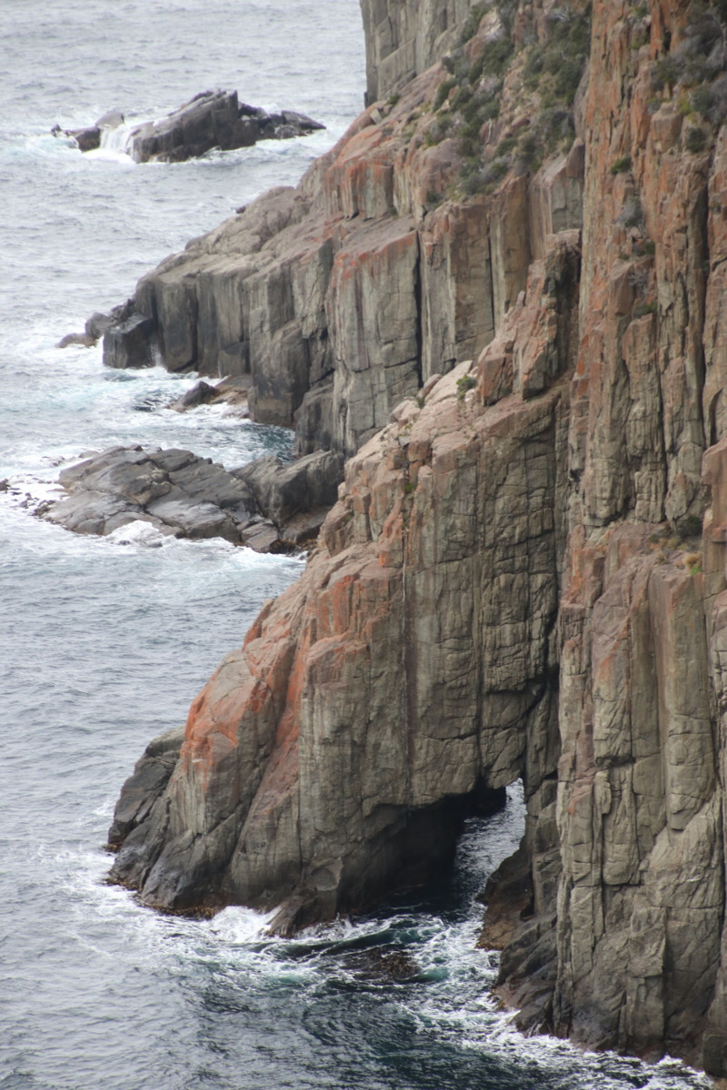
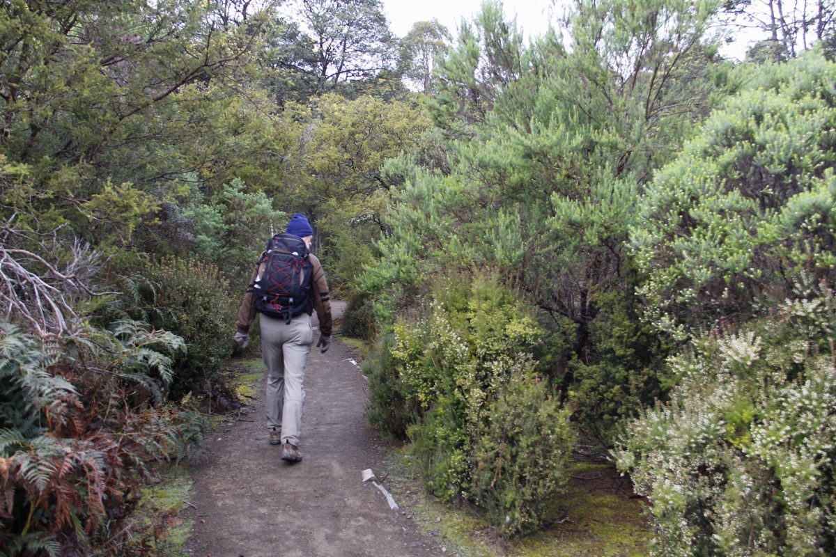
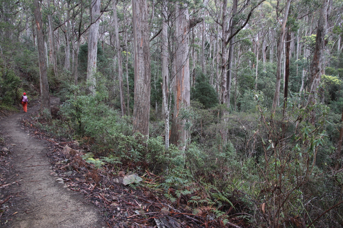
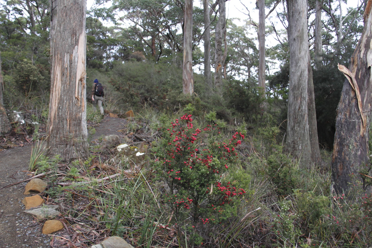
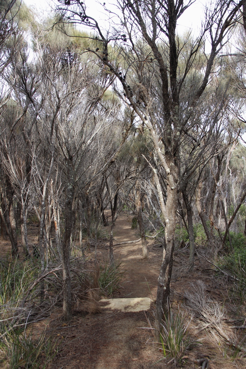
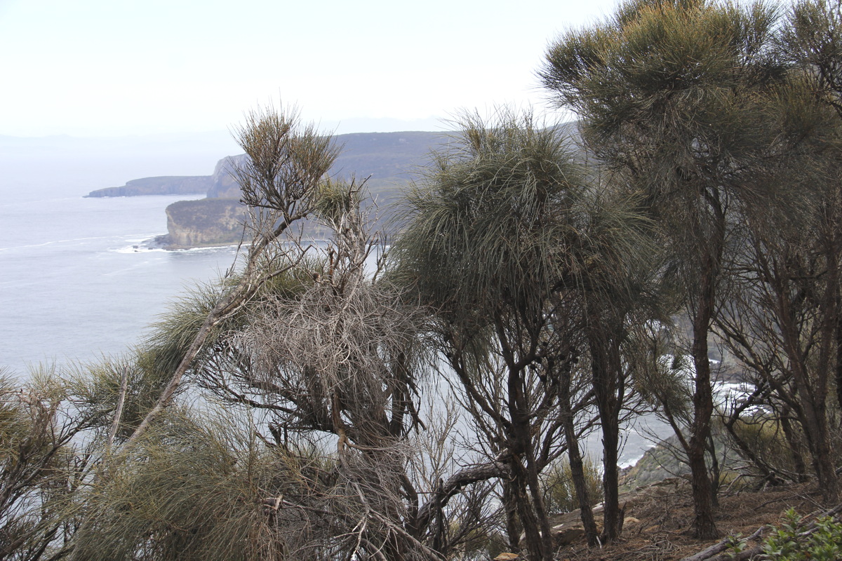
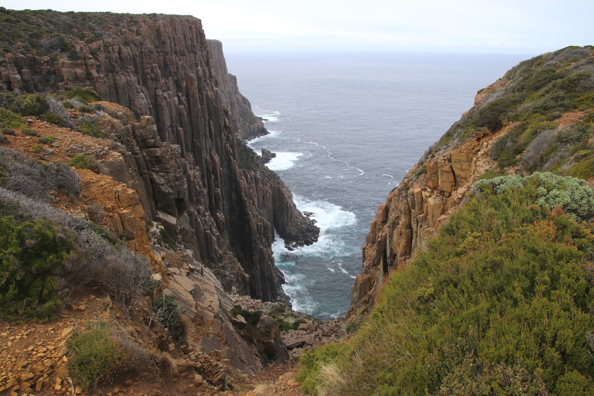
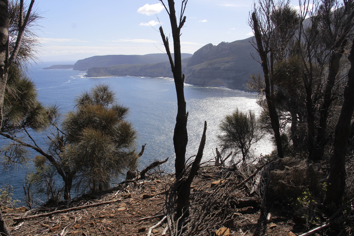
An even better walk than Friday's, more varied vegetation communities, two areas of remarkable cliffs, some organ-piped. Diverted to the northern viewpoint on the way back, which is a bit less grand than the southern areas. Weather gradually clearing (after heavy rain and cold wind on Saturday caused us to cancel the planned walk). Here's the least-worst track-map I could find.
|
|
|
|
Start of the Walk |
Forest |
Pinkberry |
Looking back
to the NW |
|
|
|
|
More forest |
Allocasuarina Alleyway |
View NW, with
Allocasuarina |
Alley with two
Alloc. species |
|
|
|
|
Looking back up
the hill we came down |
Allocasuarina
and islet |
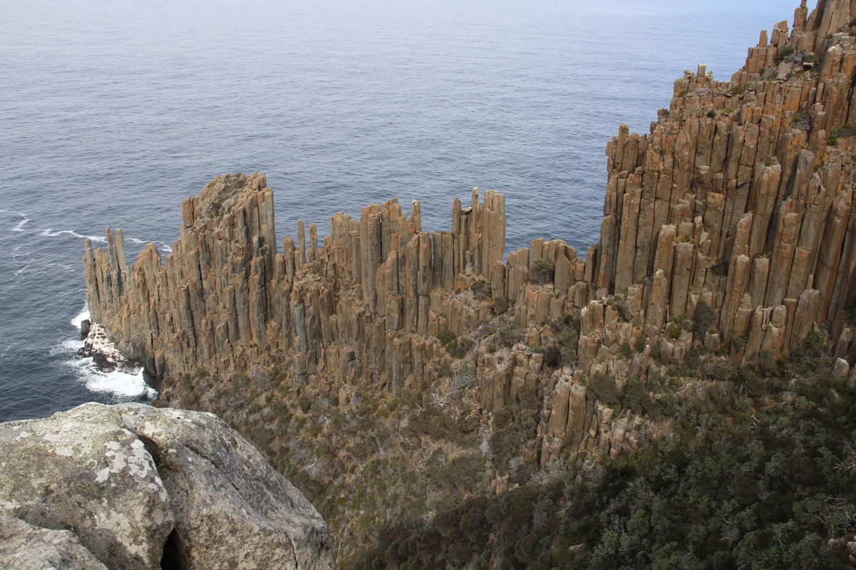
Cove with ... |
... dolerite
organpipes ... |
|
|
|
|
... another take ... |
... and the vegetation |
View back NW |
View down
onto the Cape |
|
|
|
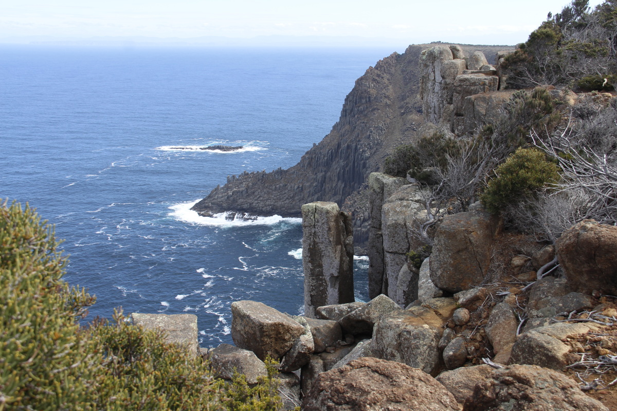
|
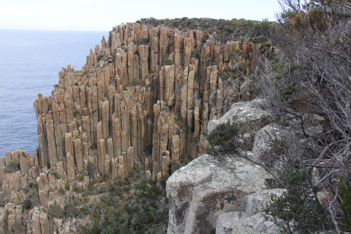
The Cape from the
nearby viewpoint ... |
... closer up ... |
... to the organpipes |
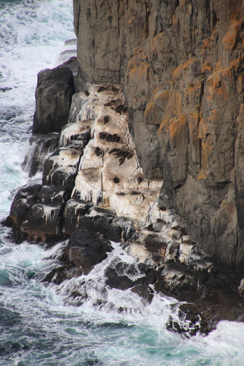
The Cape's seal colony |
|
|
|
|
The lake on
the promontory |
Returning in sunlight,
view to NW |
View back S to the
Cape incl. the lake |
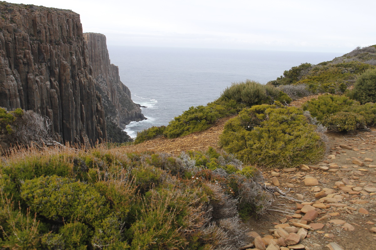
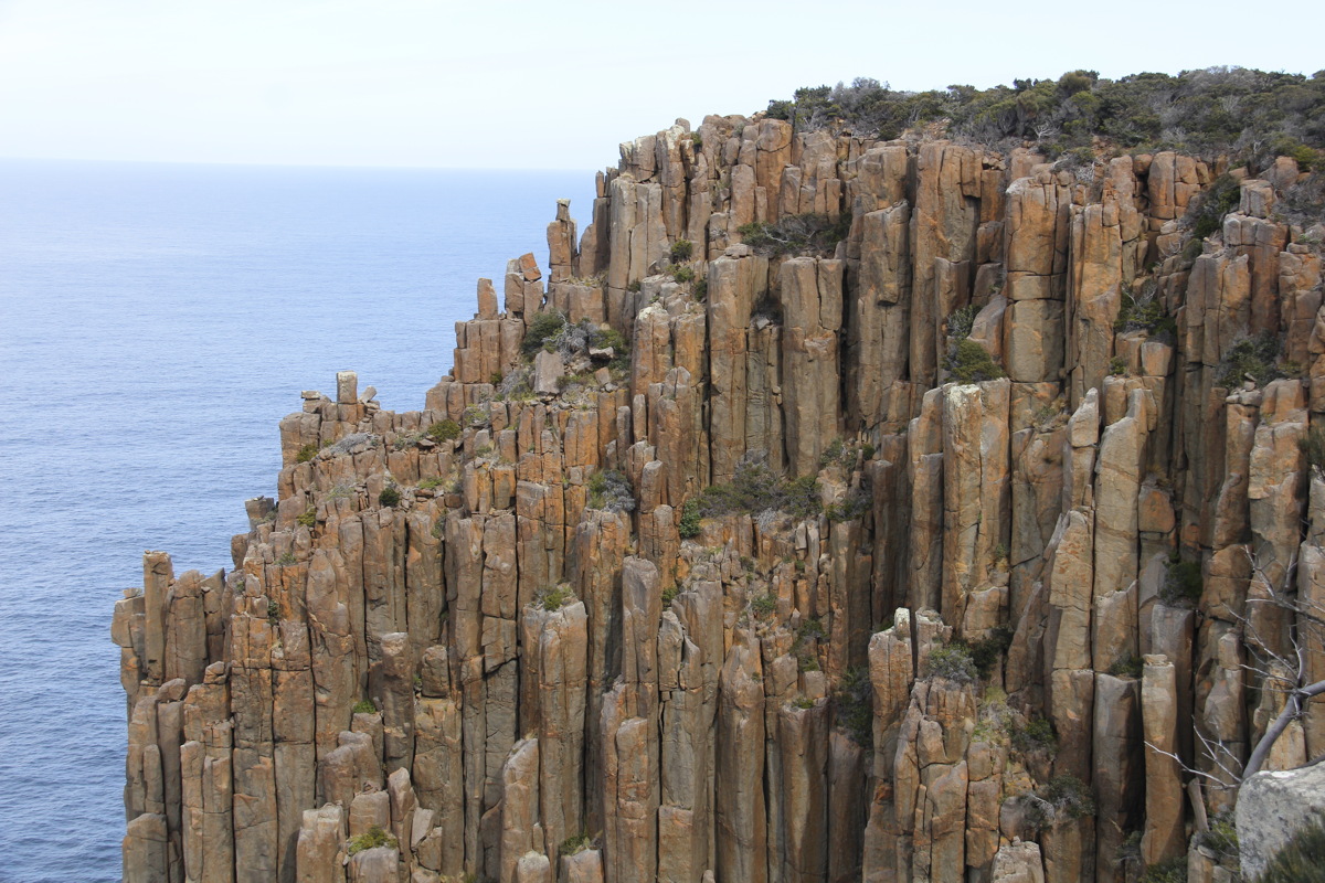
From the Tunnel Bay Track lookout, looking NW |
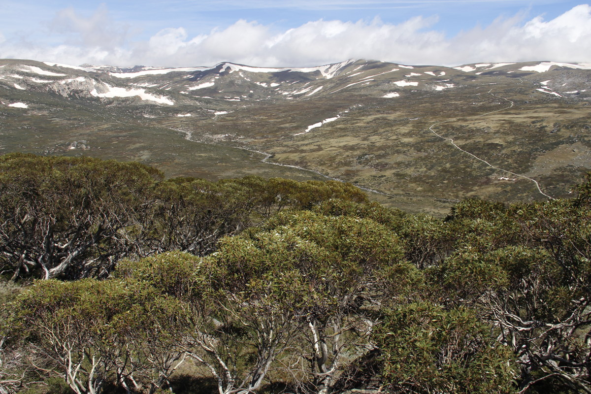
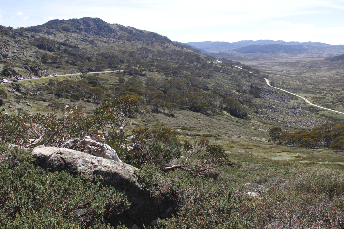
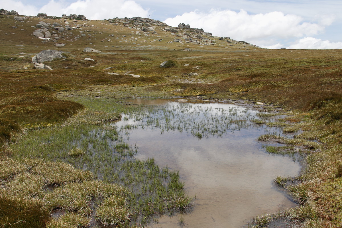
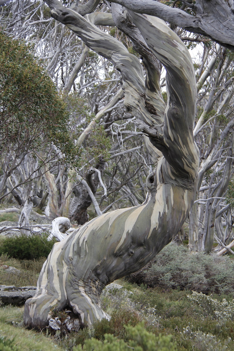
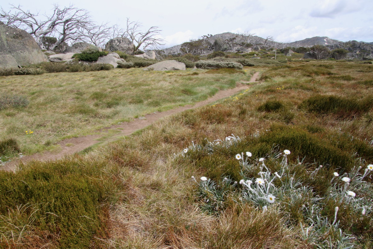
On Saturday, a 5km +/- 250m loop from Charlotte Pass up Mt Stillwell, off the back into the gully, over the Little Stillwell Ridge, and back down through the mature forest above the village. About 25 species in full flower.
|
|
|
|
View to Main Range |
Back to Perisher Mountain |
The gully behind Mt Stillwell |
A demon amidst the forest |
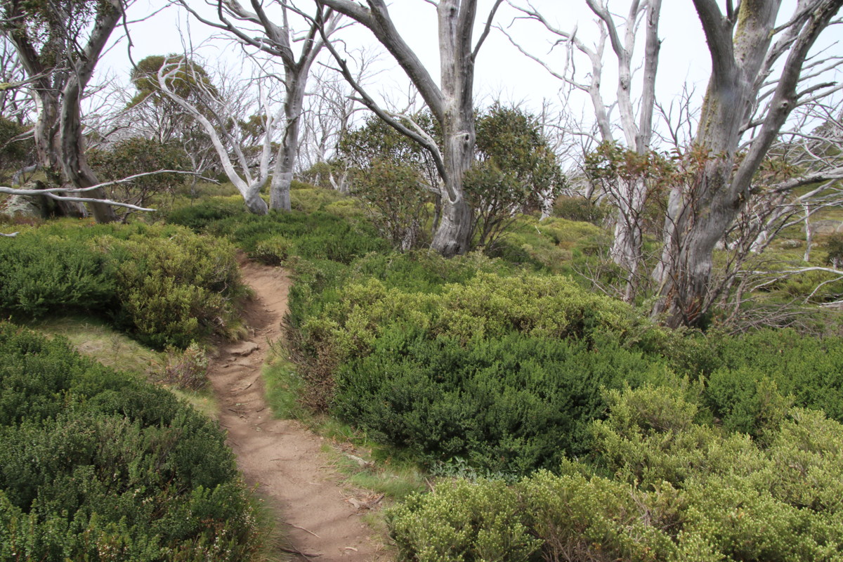
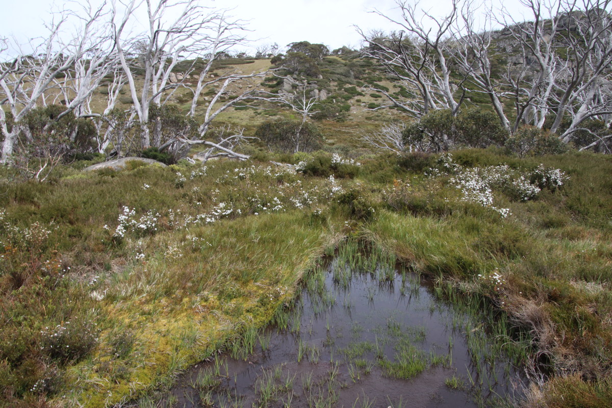
On Sunday, the 7km +/-200m Porcupine walk diagonally up the ridge opposite the Perisher snowfields. Almost as floriferous as Stillwell. 50km winds from the W, so partly sheltered, partly exposed.
|
|
|
|
The Path above Perisher |
Pond, lush heath,
Mt Wheatley to right |
Celmisia at the exposed
ridge, burnt 2003 |
700m down to Bullocks
in the Thredbo Valley |
This is a page within the Clarke-Spinaze Photo Gallery, home-page here
Contact: Linda or Roger
Created: 15 May 2019; Last Amended: 16 Dec 2019, 25 Mar 2020


