'Mountain' Walks – 2023
Click on any image to see a larger version
Top of Australia
We did a quick 2-day trip to Jindabyne and the Alps, with Brigitte Wimmer
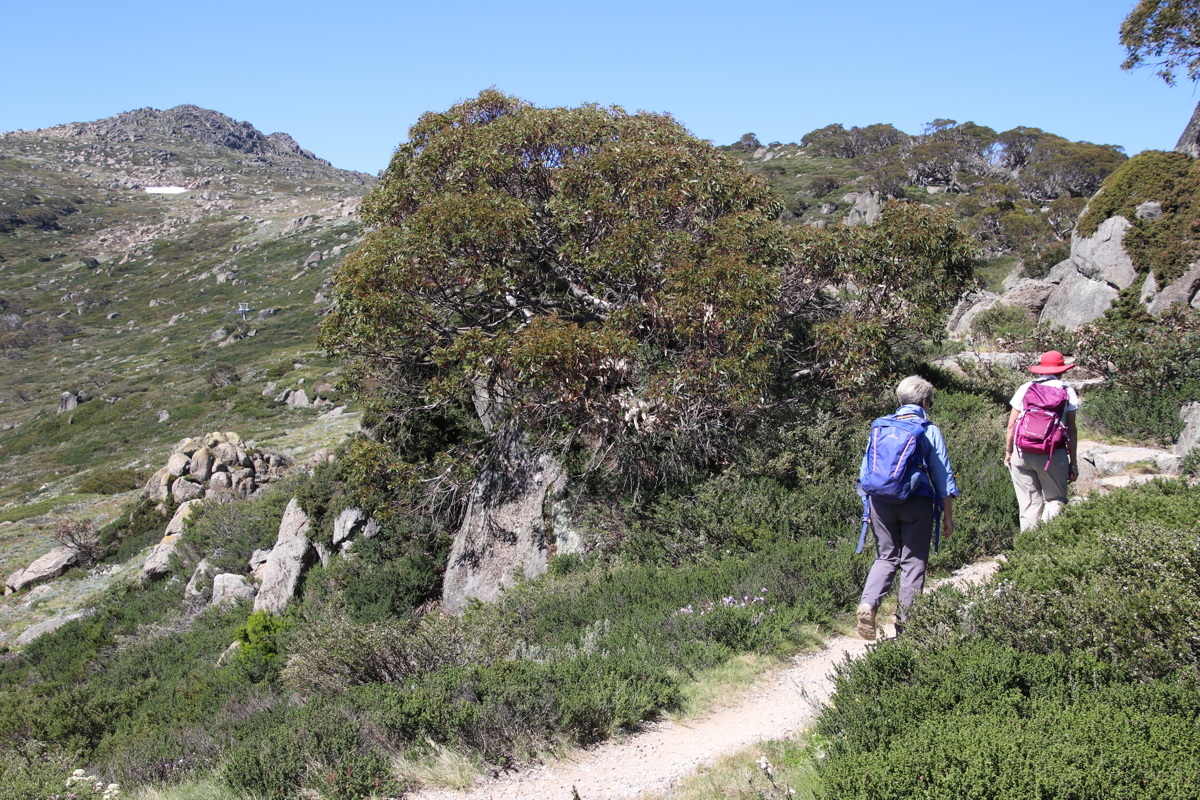
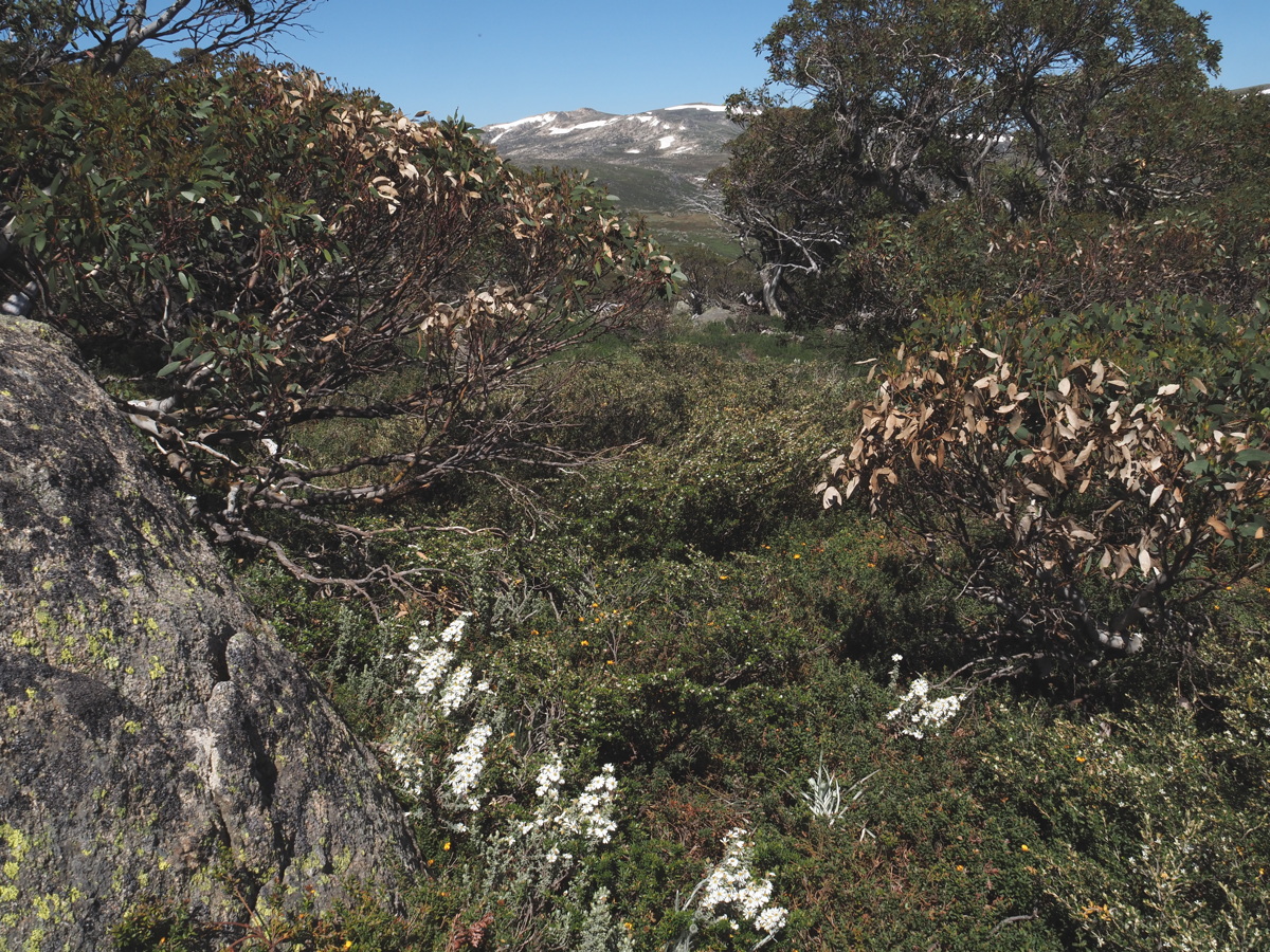
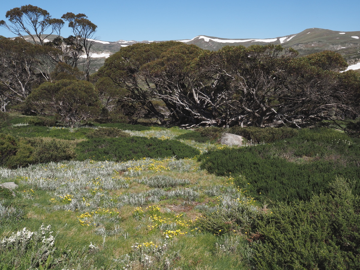
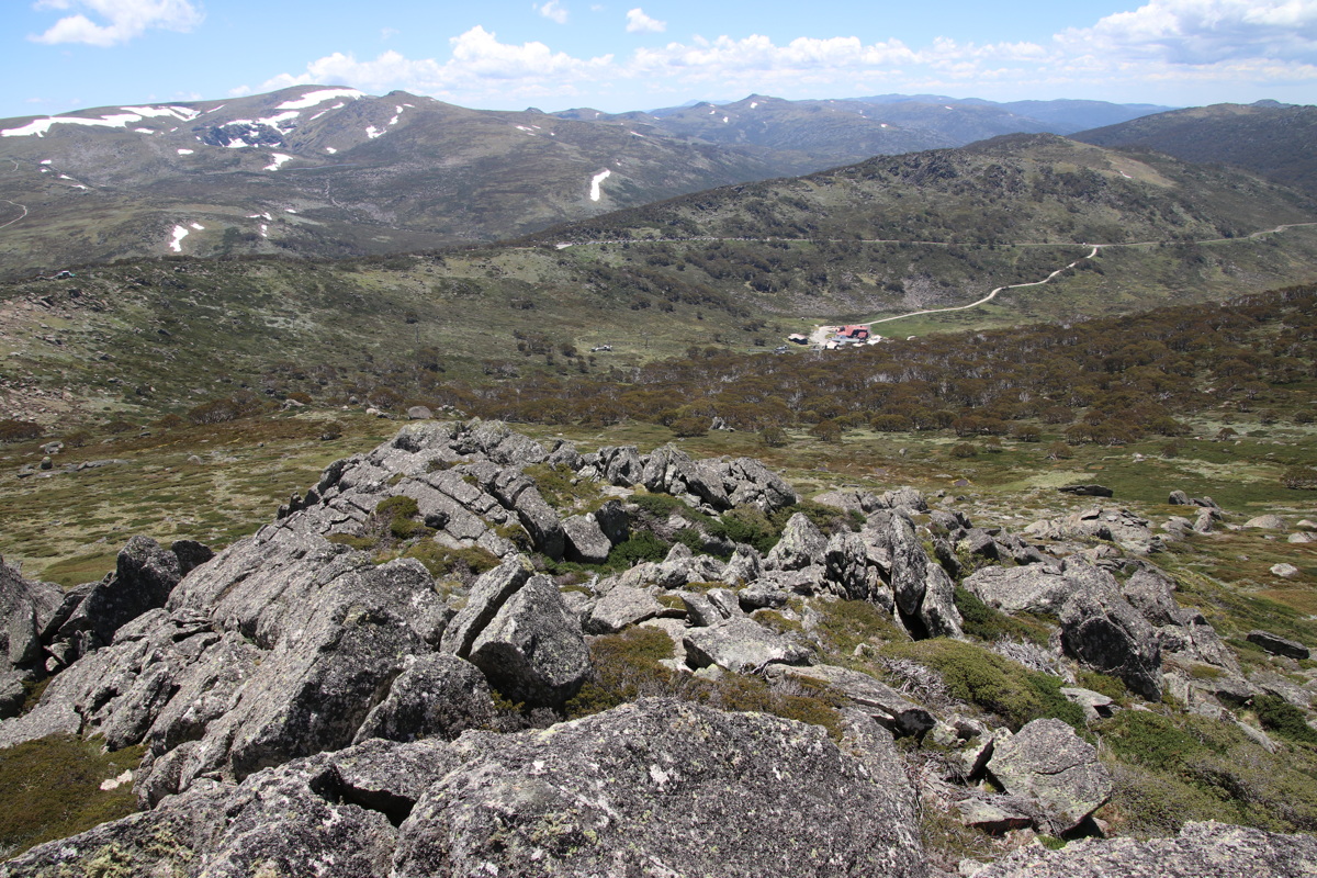
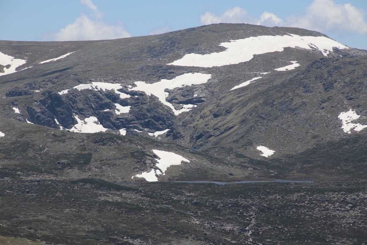
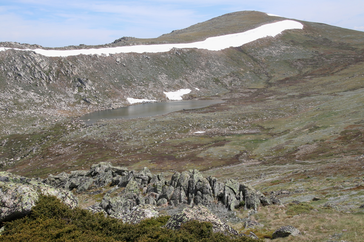
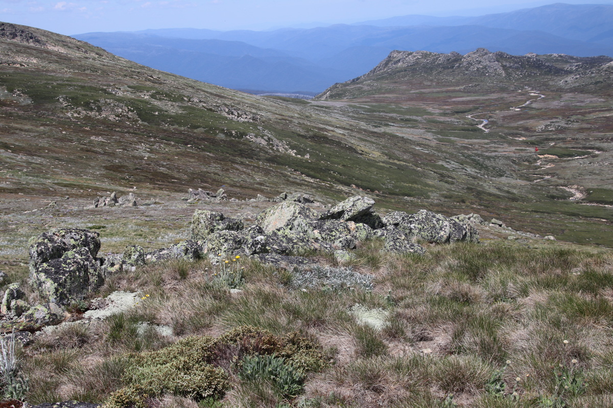
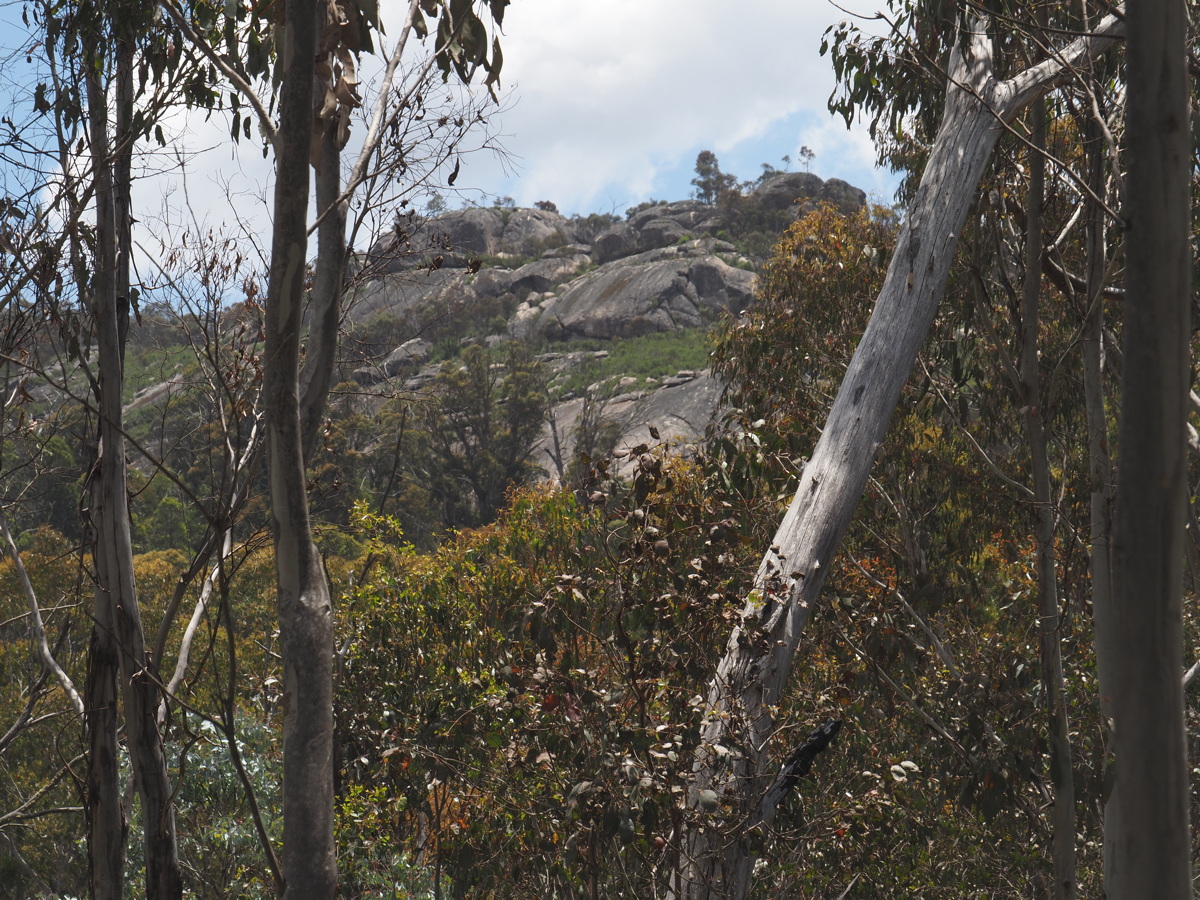
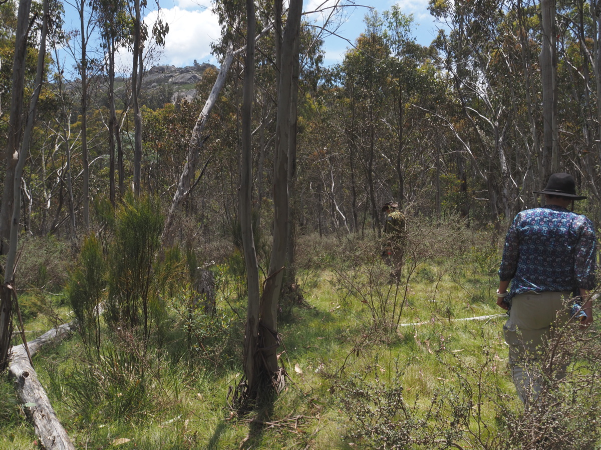
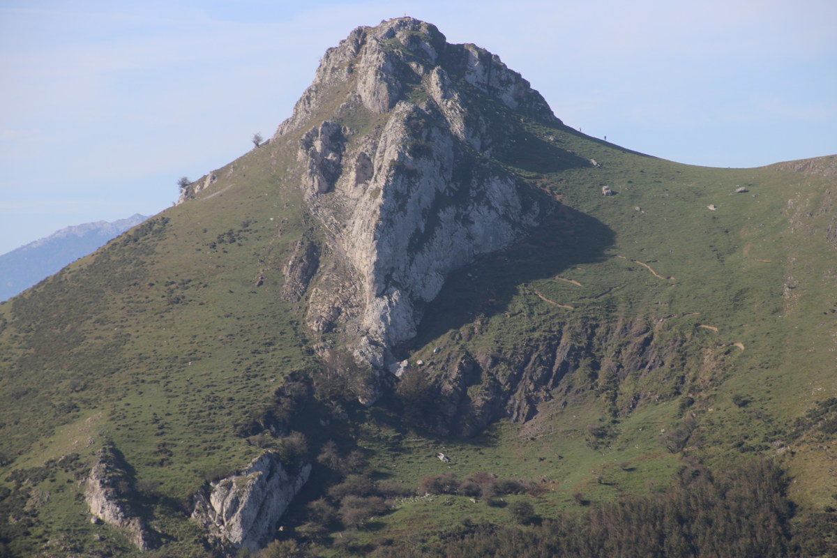
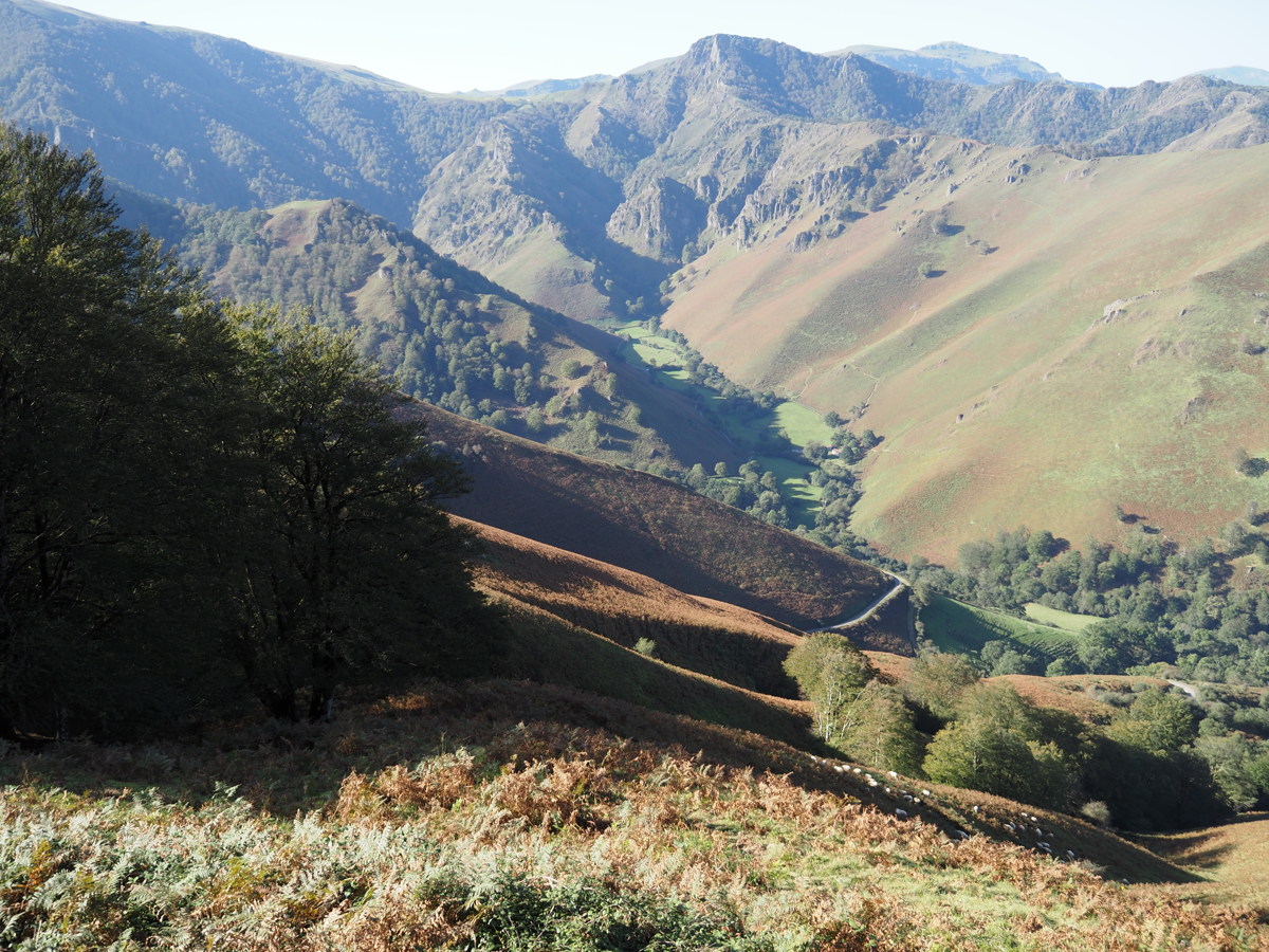
Mt Stilwell — 11 Jan 2023
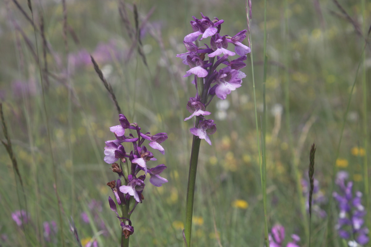
From Charlotte's Pass, up above the village. A top walk for flowers, late this year due to a delayed summer's start.
|
|
|
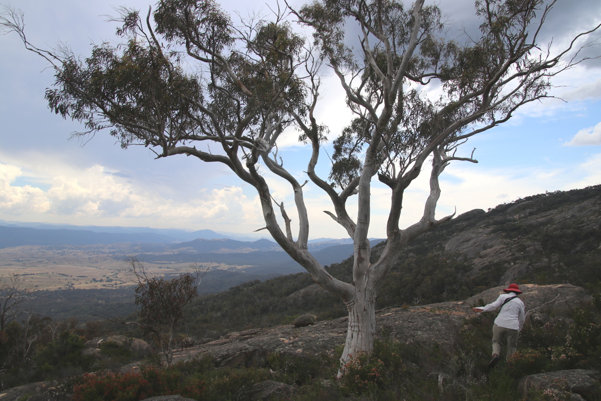
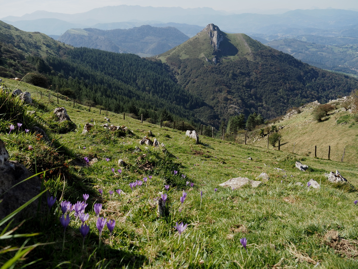
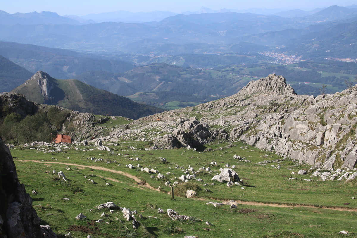
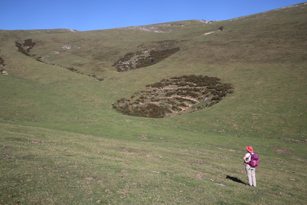
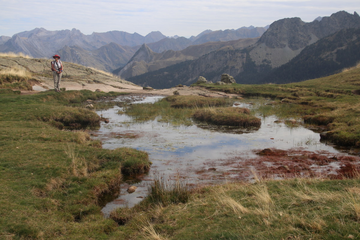
On the track,
looking up to Stilwell |
Carruthers and Kosci,
and vegetation |
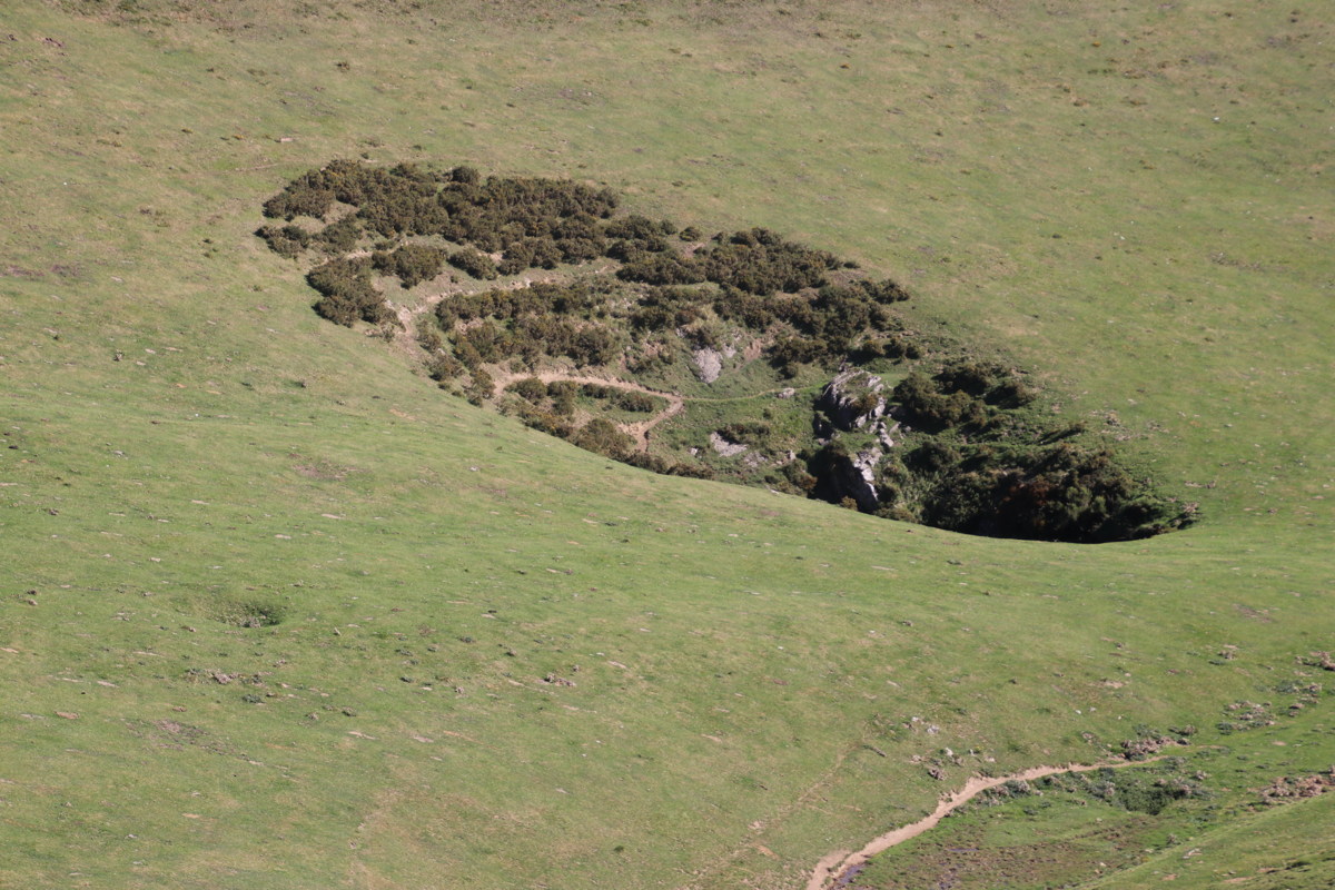
The Main Range
(Clarke, Lee) |
|
|
|
A high alpine waterline,
still good for Caltha |
Twynam high left,
Jagungal on the horizon |
From Little Stilwell,
Mt Twynam and Hedley's Tarn,
& a corner of Blue Lake |
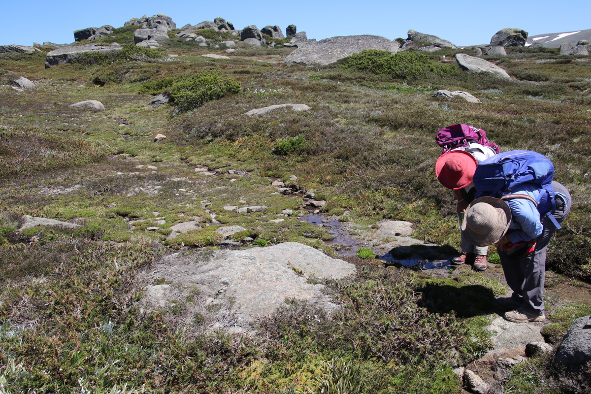
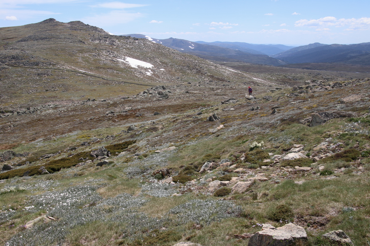
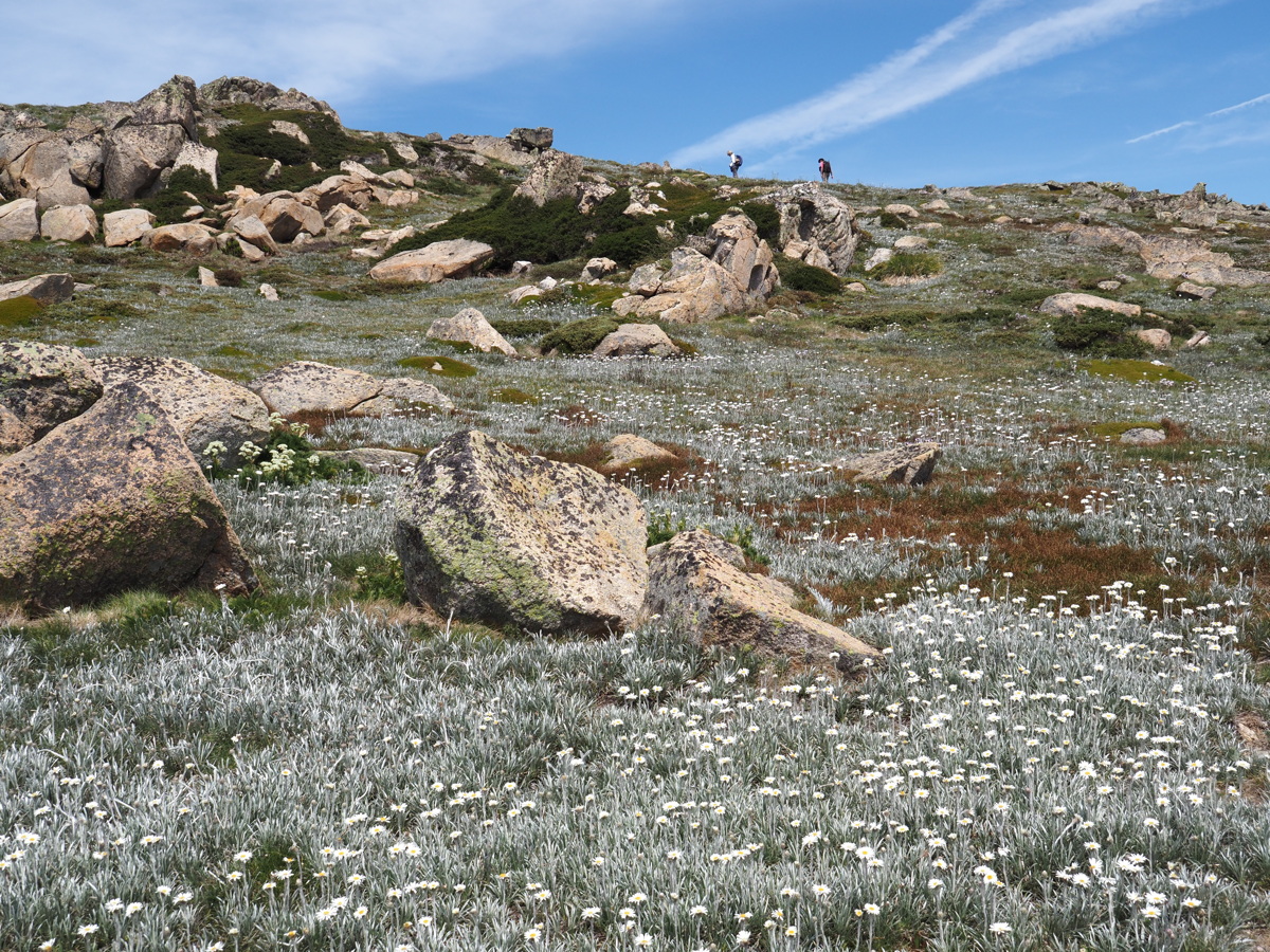
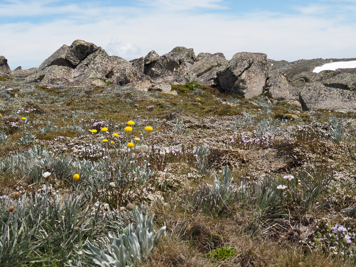
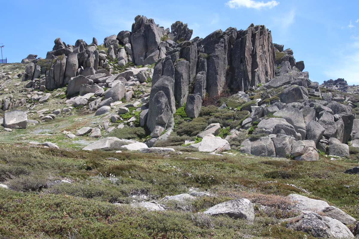
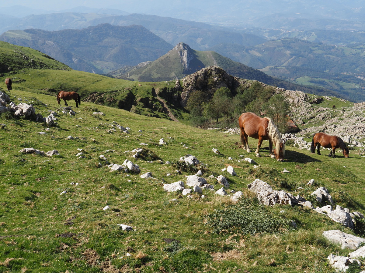
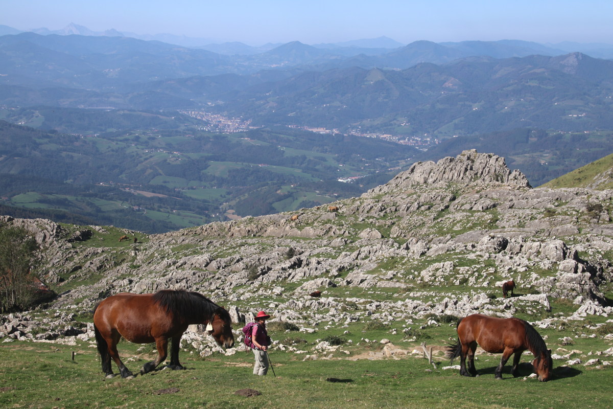
Ramsheads — 12 Jan 2023
We walked along the Top Thredbo to Kosci walk until we could see the Lake, then turned left off-track, to get in behind the range. (We later became separated, spoiling the afternoon's flower-searching).
|
|
|
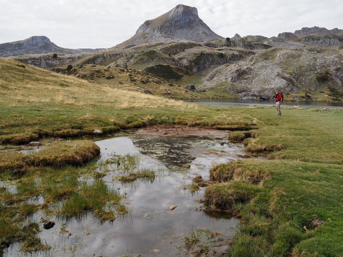
Lake Cootapatamba,
beneath Kosciusko |
Mts Carruthers, Twynam,
looking down the Snowy River |
Cootapatamba Creekline
and Hut, and Victoria |
|
|
|
Up onto the Ridge,
with Celmisias |
Granite, and Craspedia |
Typical Ramshead Granite,
plus groundcover in a
shallow, moist waterline
just above Top Thredbo |
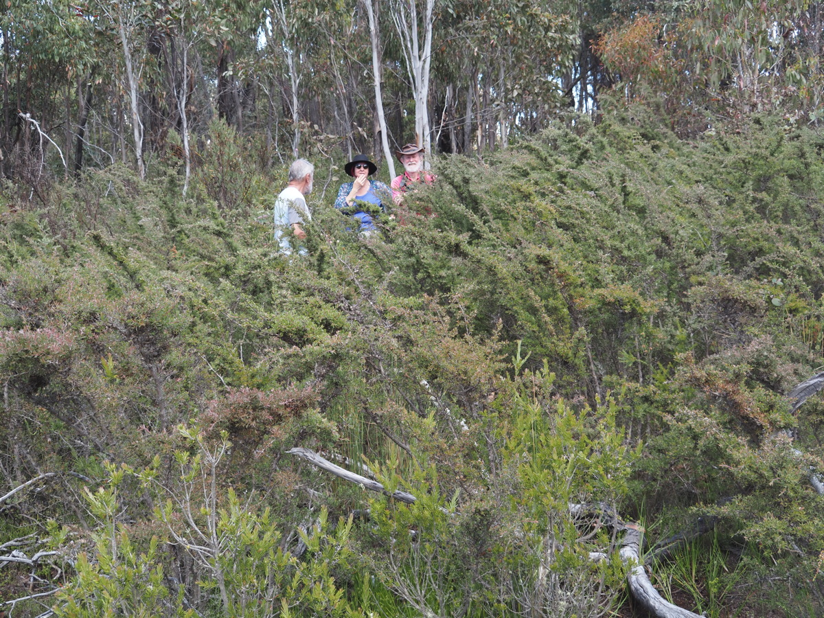
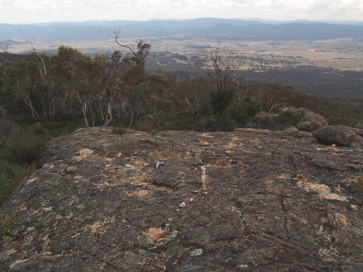
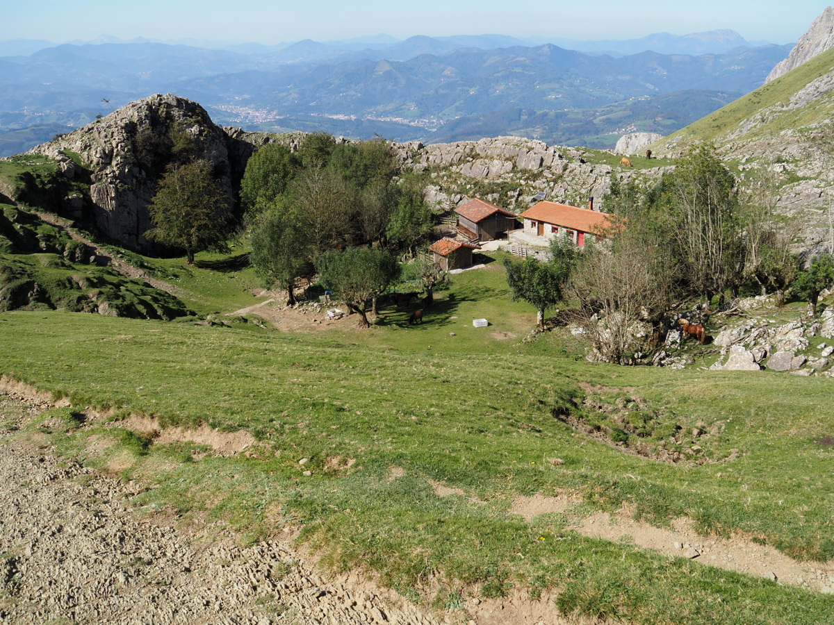
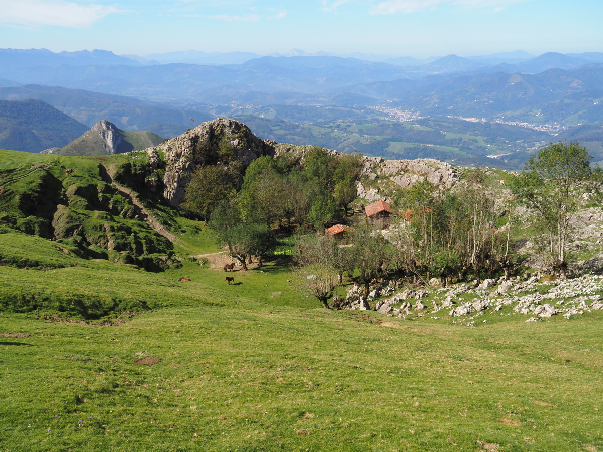
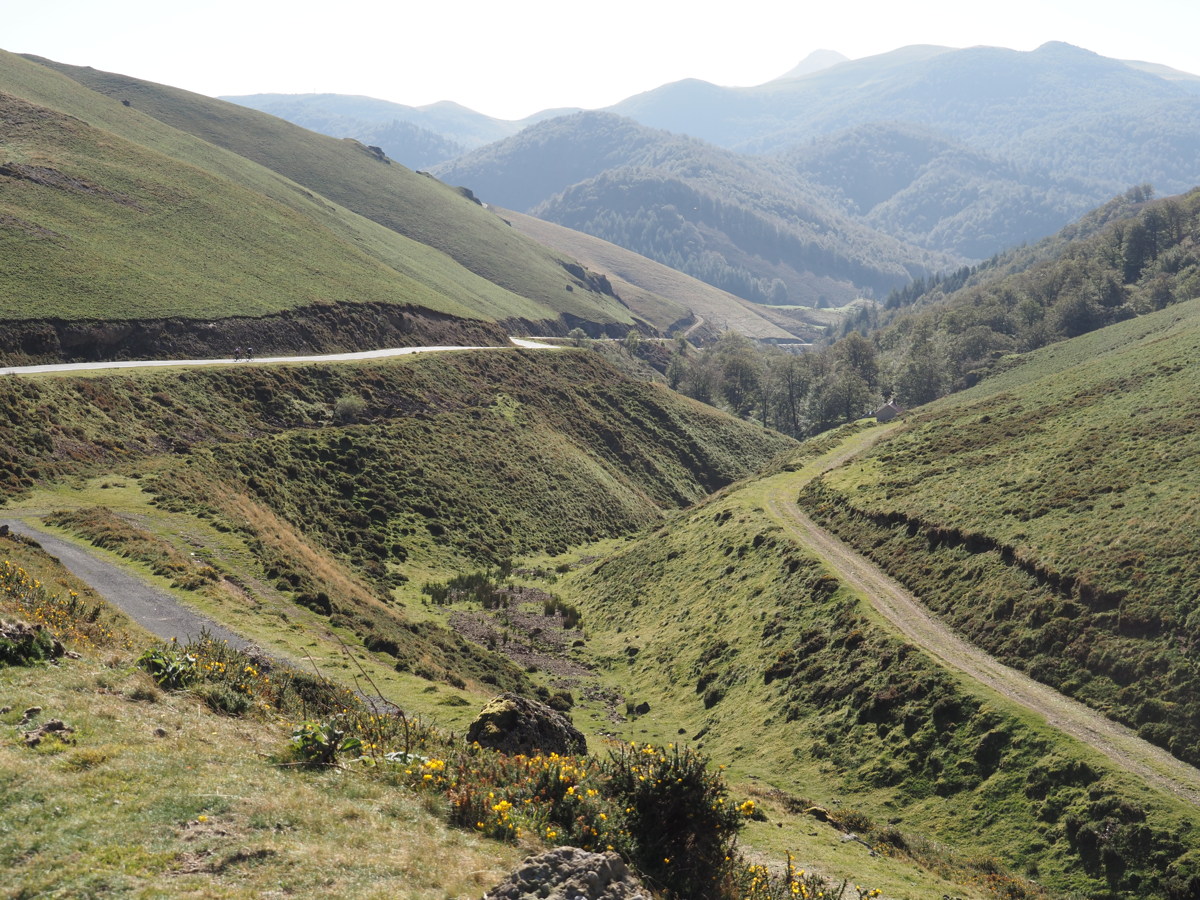
Tinderry — 13 Jan 2023
We finally managed to spend a few hours with Markus and Julie on their steep and very (nature-)rich property which runs up the western side of the Tinderry Range, c.8km ESE of Michelago.
|
|
|
|
Their peak,
looking NNE |
Very grassy and
froliferous woodland |
Roger Farrow, Julie,
Roger, with Leptospermum |
View West from
the Northern platform |
|
|
|
|
Lone E. rossii,
Northern rockshelf |
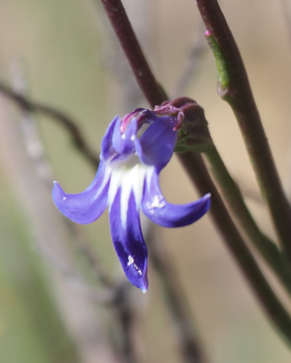
Lobelia dentata |
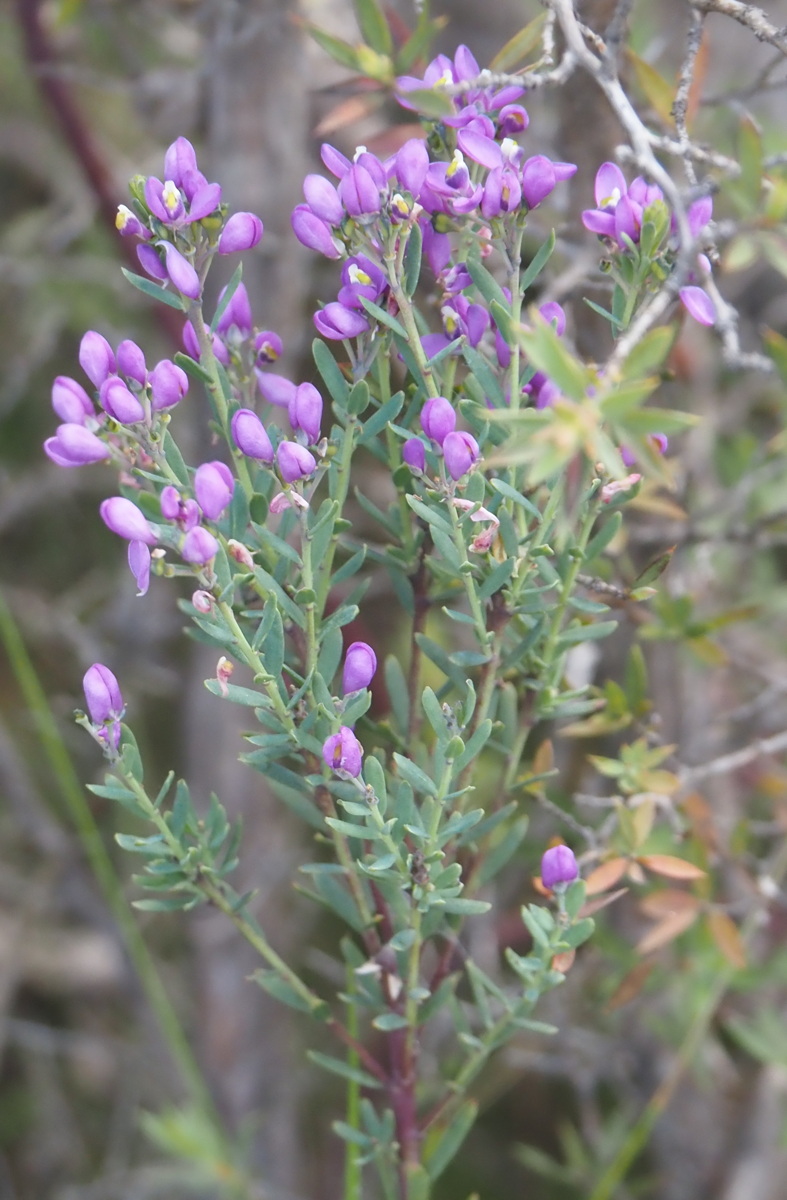
Comesperma retusum
Purple Milkwort |
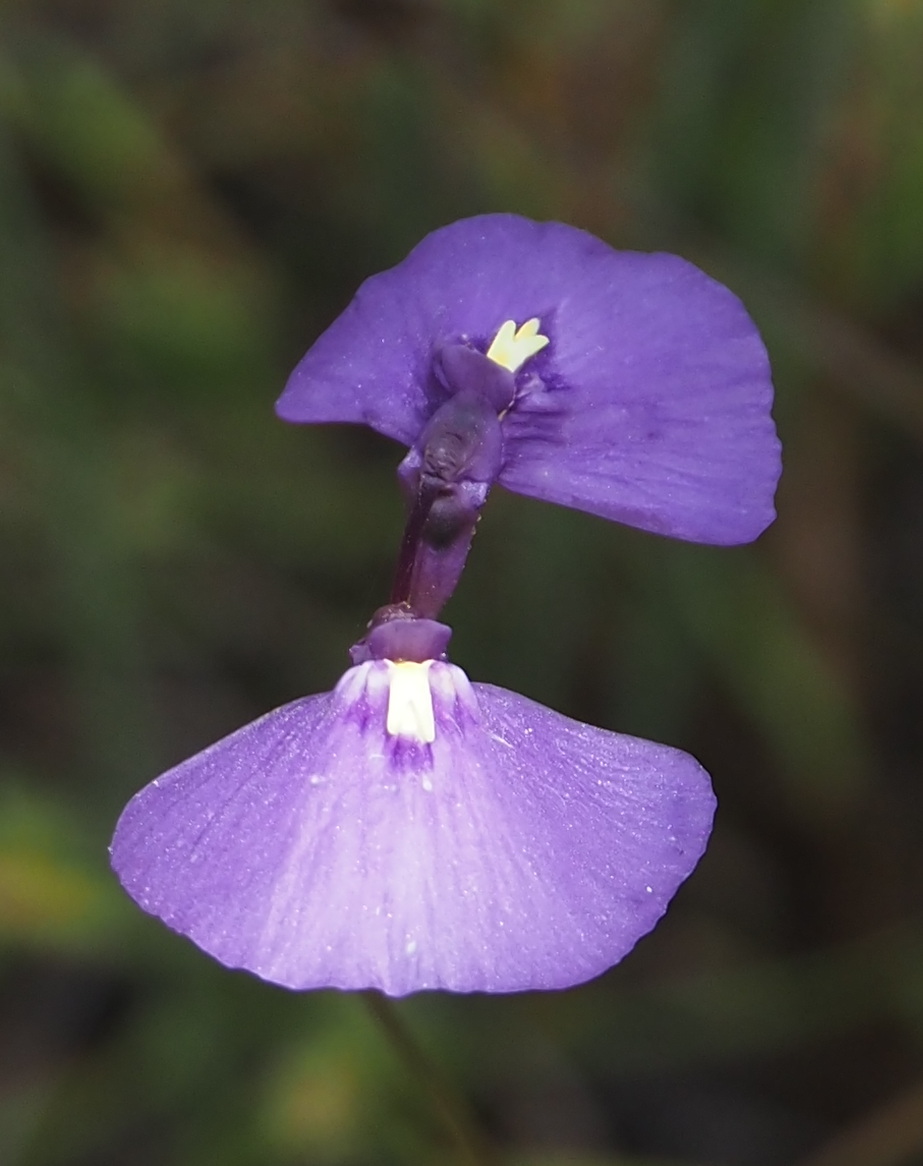
Utricularia dichotoma
Fairy Aprons |
|
|
|
|
Kunzea ambigua |
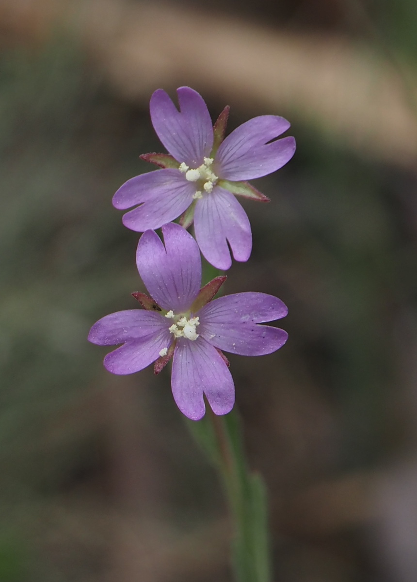
Epilobium Sp. |
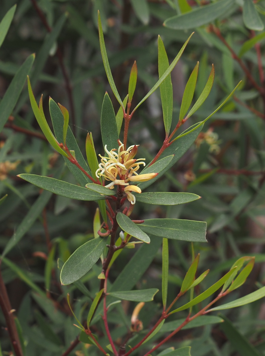
Persoonia rigida |
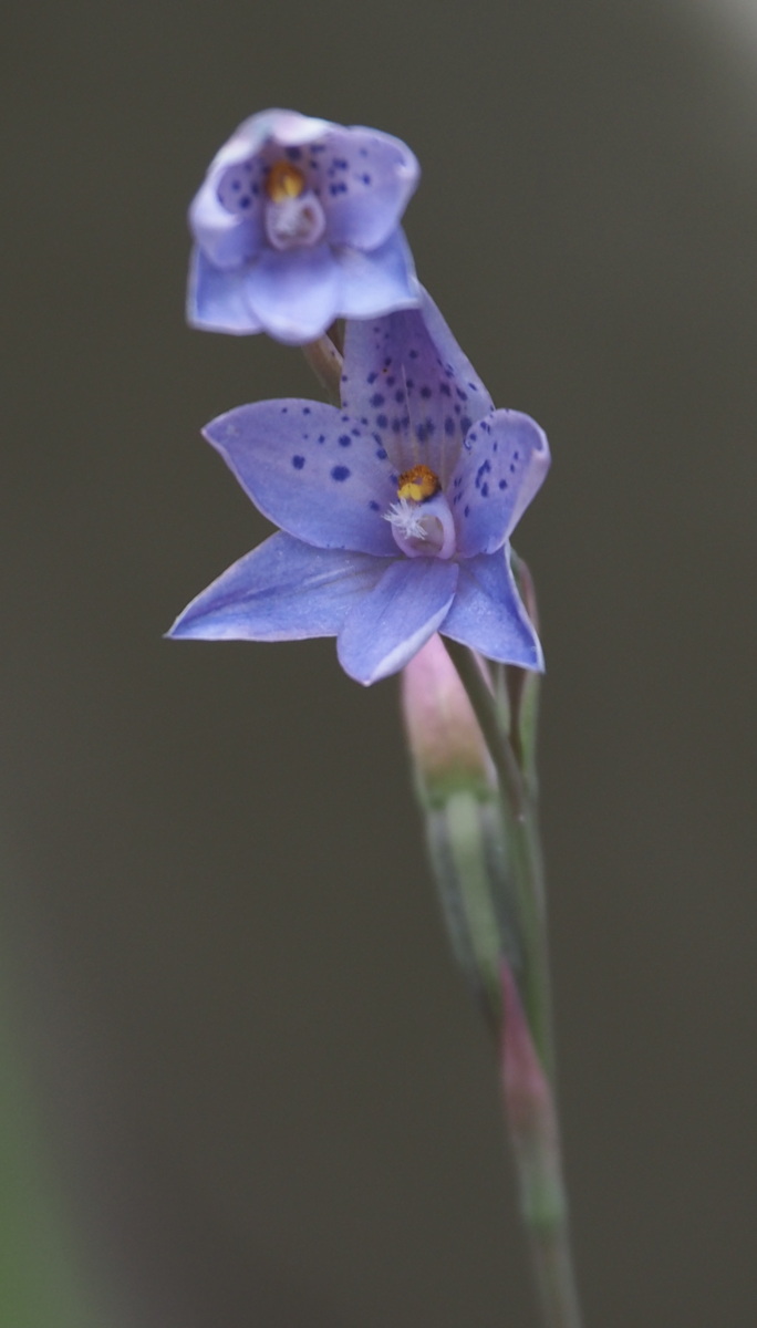
Thelymitra ixioides
Spotted Sun Orchid |
Southern Italy — 2 May to 10 June 2023
| We landed at FCO and drove to Naples (3 nights), followed by Amalfi peninsula (5 nights), transit (1 night), Castelmola above Taormina (2 nights), Siracusa (4 nights), Ragusa (6 nights), Aeolian Islands (5 nights), transit (3 nights), Abruzzo Apennini (4 nights), Frascati (3 nights) and Rome (2 nights). The walks we squeezed in were: |
|
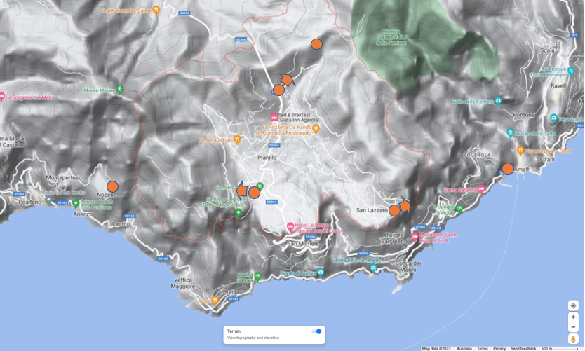
Agerola (pron. adjerola) supra Amalfi — 5 to 10 May 2023
San Lazzaro to Amalfi — 6 May
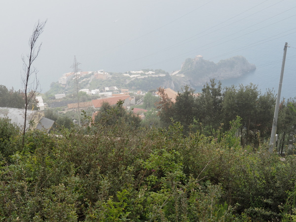
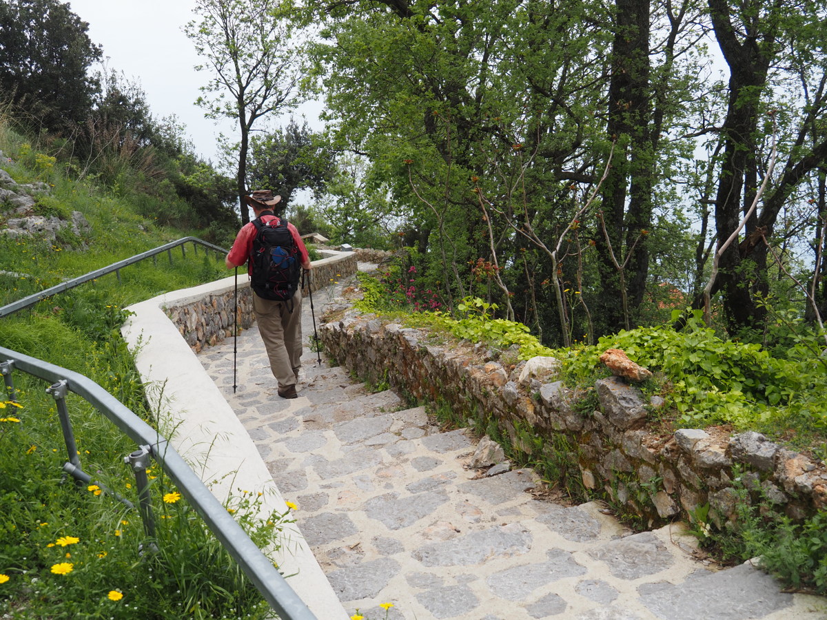
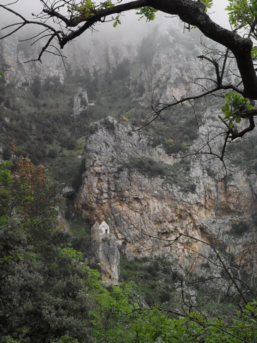
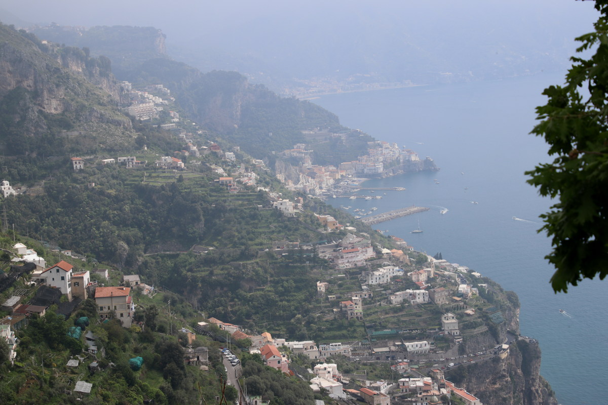
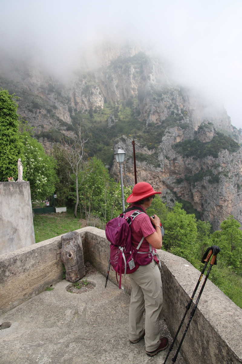
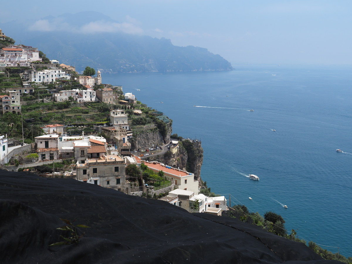
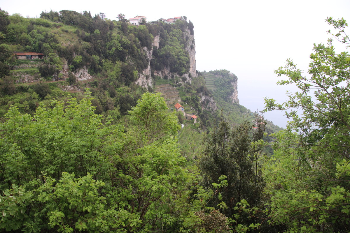
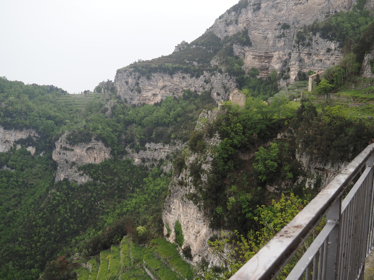
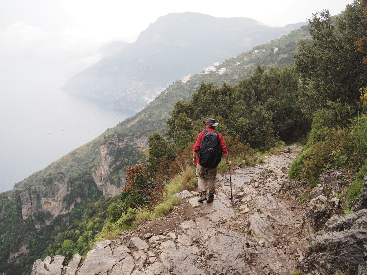
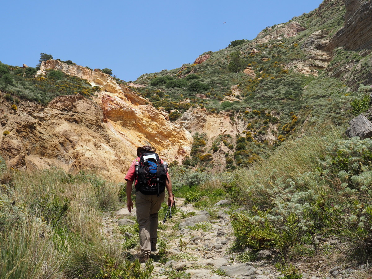
A historical commercial path from the Agerola shelf to its port. It runs from the west to the east, displaying the mid-section of the Amalfi coastline, which is essentially a 600m-800m escarpment (like the Southern Highlands) but straight into the sea.
The original track-surface has been replaced with hard and often high steps for much of the distance. We were misled into understanding it to be -650m and 5km. But that's because the local maps lack a legend, and some of the limited brochureware displayed the crow-flies distance. With some very steep sections (one of them up not down), and a steep and deeply-indented coastline, it added up to 9km.
It starts down very steeply, and, without any warm-up, Roger's knees were blancmange within 500m. He struggled down, so we both enjoyed the flowers, and the very steep and varied coastal landscape, less than we might have done. It's a striking walk.
|
|
|
|
The early views were unpromising,
because of prevalent morning sea-mist |
These were exemplars of
the shallow steps |
Cliffs above, and perched chapel |
View to Amalfi from halfway down |
|
|
|
|
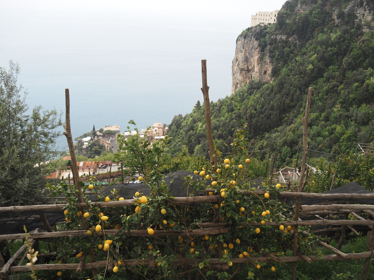
The balcony it was taken from |
Terraces, lemons, roofs |
And still steep steps |
The Furore Chasm |
|
|
|
|
The coast, now in sunshine
(black sheeting over the lemons) |
Looking back along the line we'd walked |
But still there are steps |
From Amalfi itself,
a break in traffic allows
a photo back along the
'hillside' we came along |
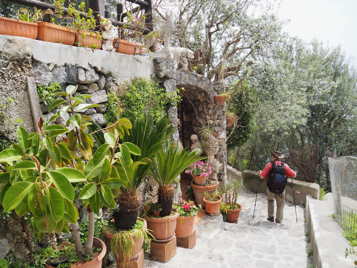
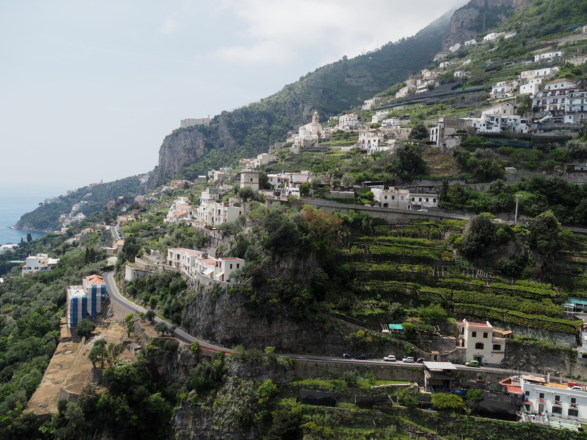
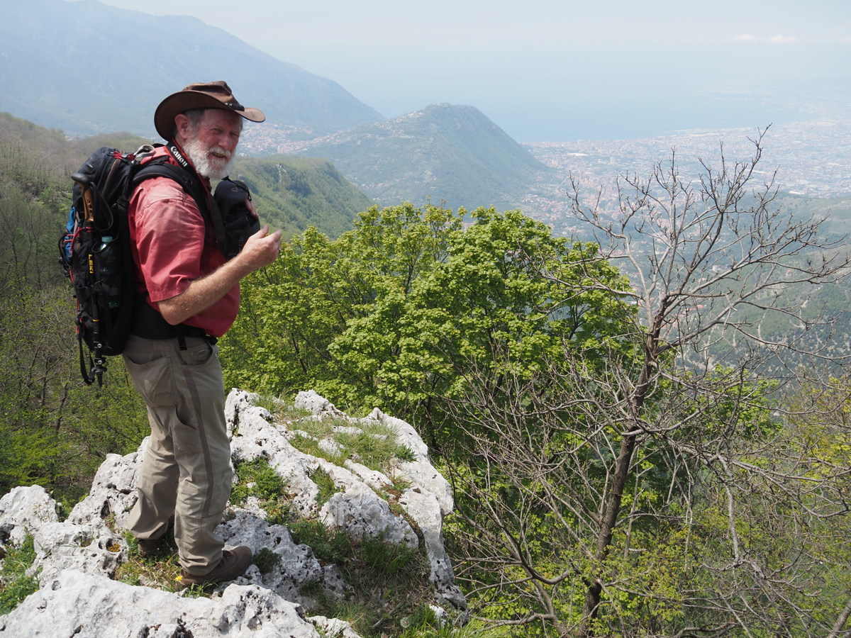
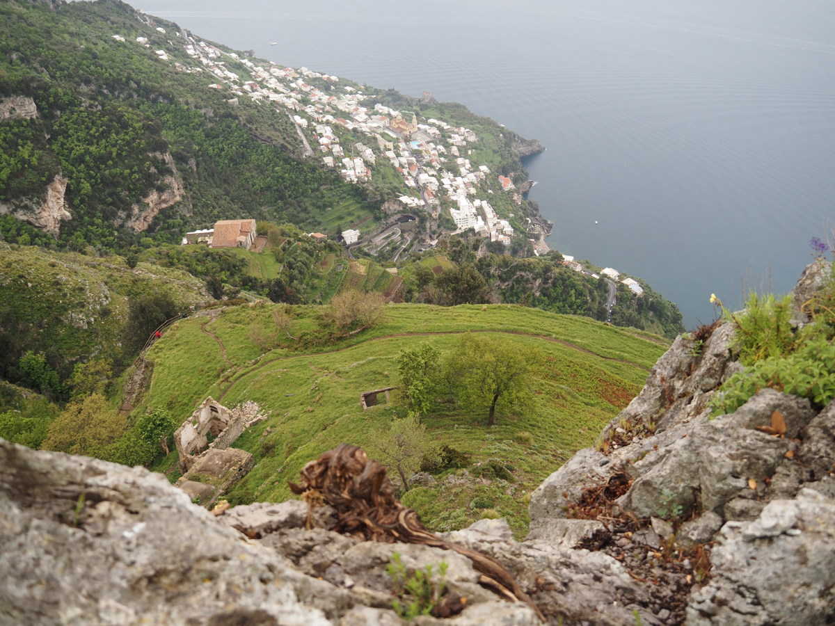
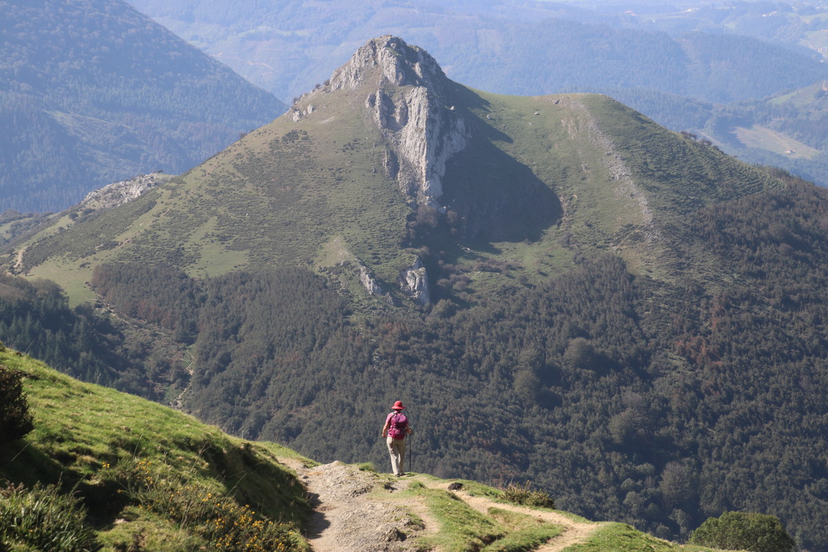
Col le Sant'Angelo — 7 May
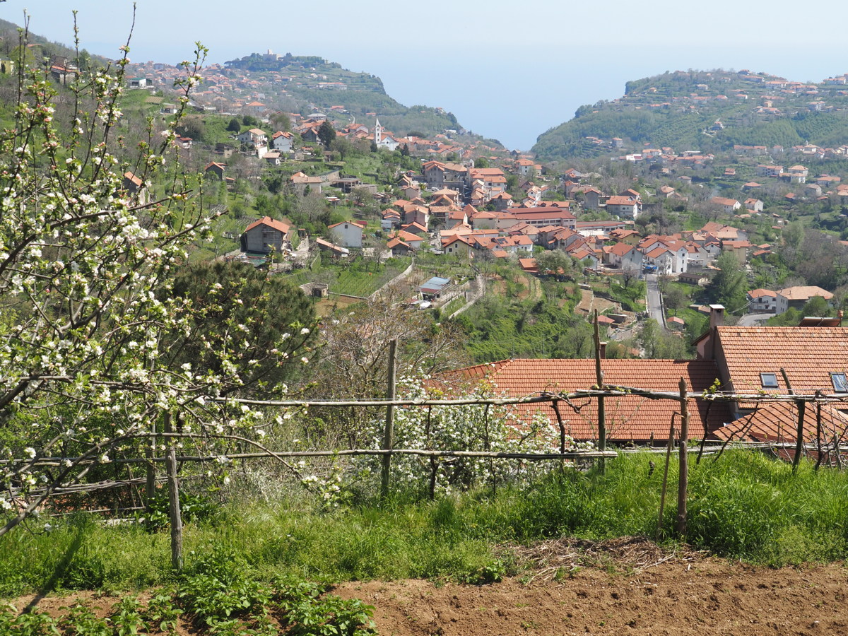
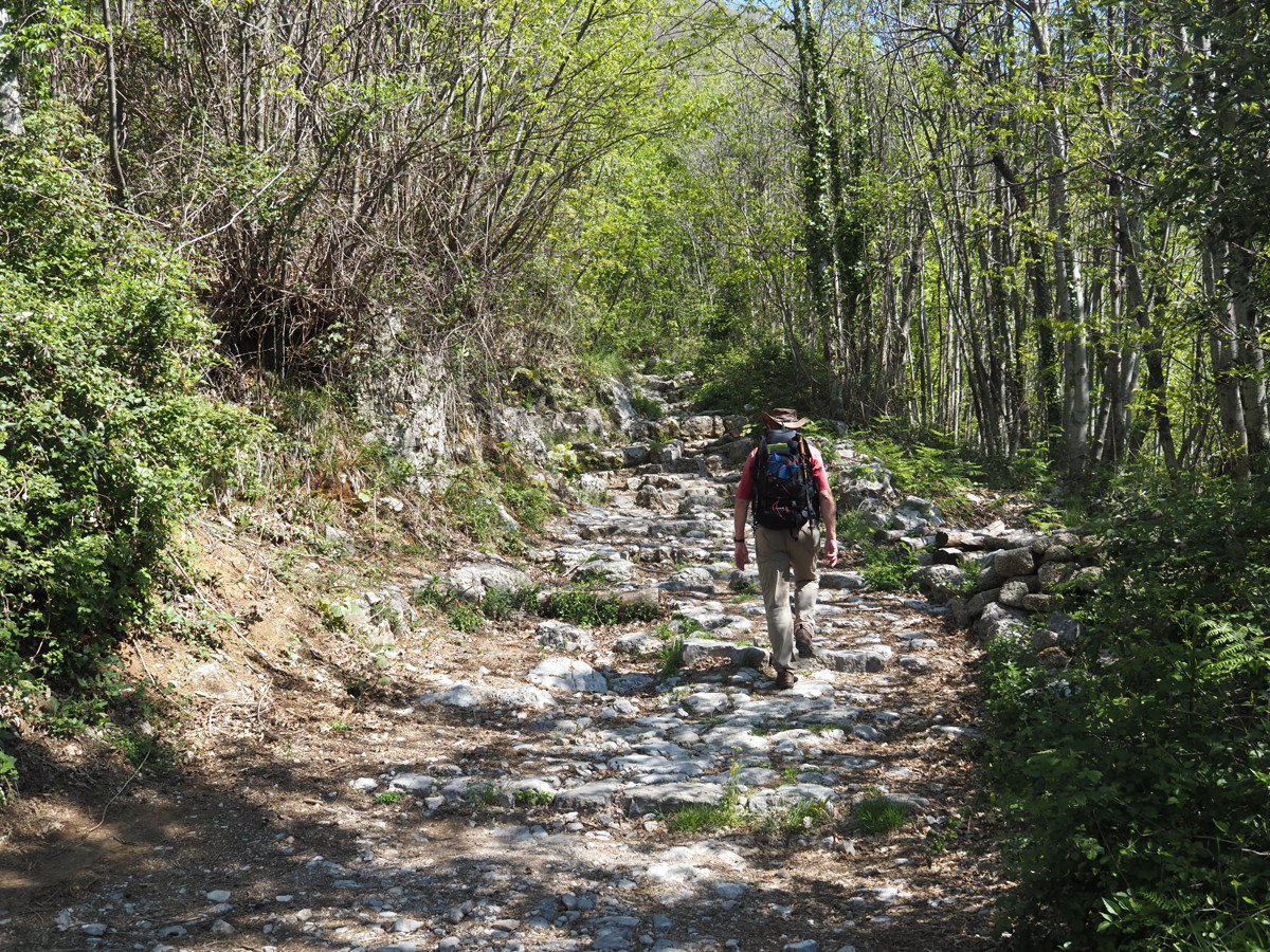
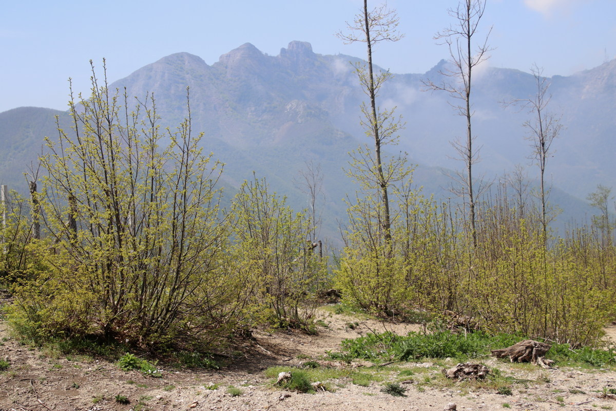
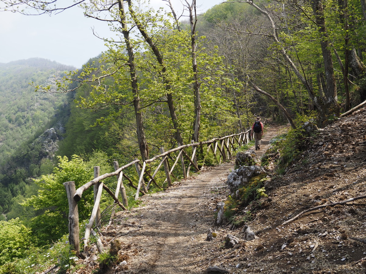
This starts at 700m at the southern entrance to the tunnel on the northern edge of the Agerola shelf, and goes up c.350m to the ridgeline, providing views over both Golfi, of Amalfi to the South and Napoli to the North. About +/- 450m and 9km of mixed paths, including a longstanding, rock-paved mule-track, vehicular tracks and walking tracks, i.e. just what Roger's legs and knees needed on the first day.
|
|
|
|
View over much of the
lush shelf of Agerola ... |
... incl. San Lazzaro, left,
and the quality soil |
The well-built and
very solid path up to the ridge |
The high western peaks,
Mont San Michele at 1326m,
like Mt Tennent but
only 2km from the sea |
|
|
|
|
Some easy walking included |
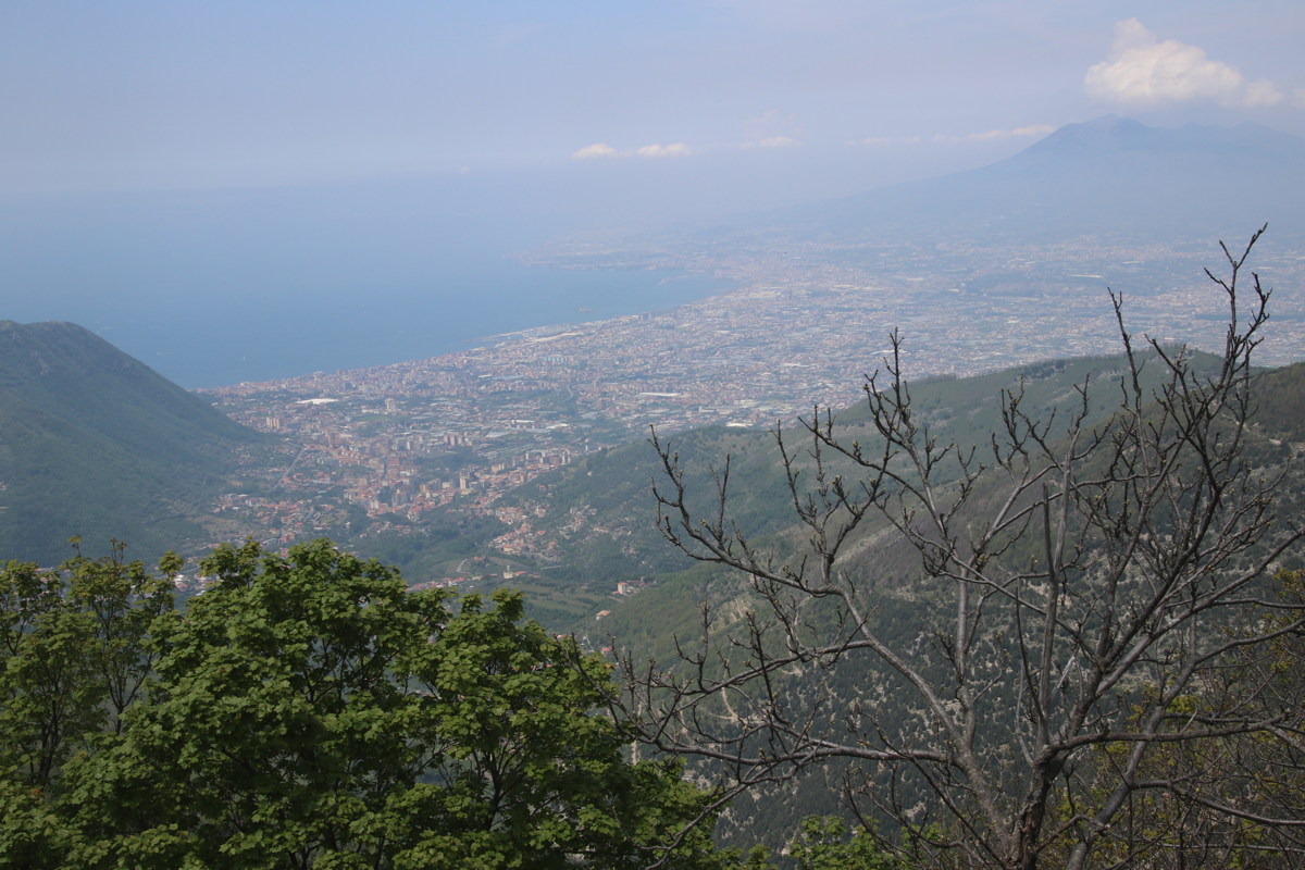
Photo opportunity northwards,
at lunch-time ... |
... the result, Vesuvio right,
Naples high left, and
Herculaeum and Pompei amidst
the dense Golfo di Napoli villages |
'High on a hill was
a lonely goatherd'
(but lonely no longer) |
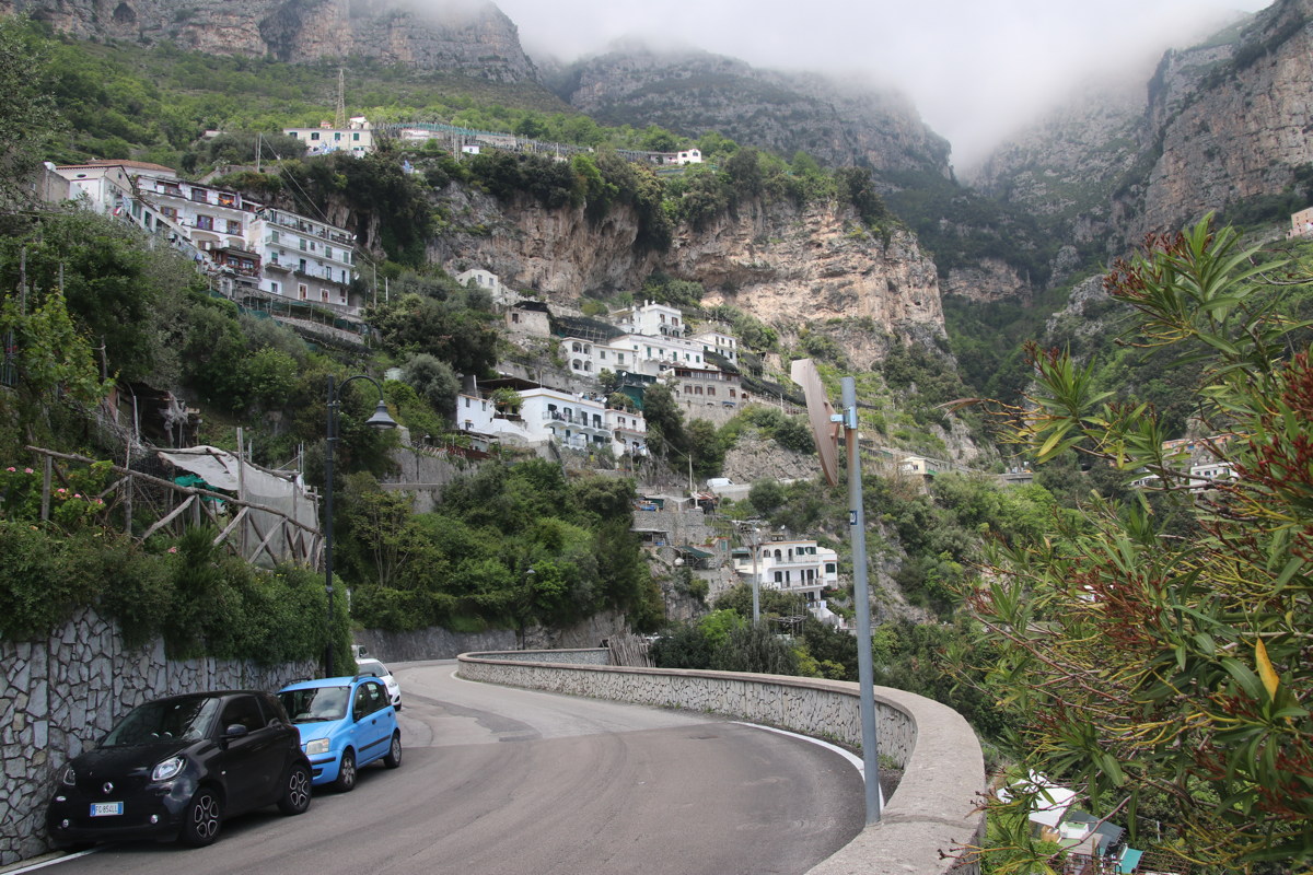
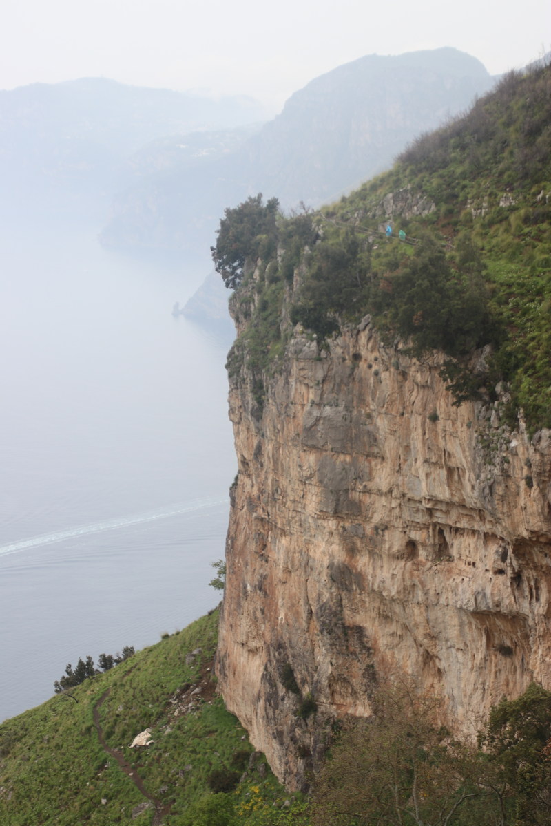
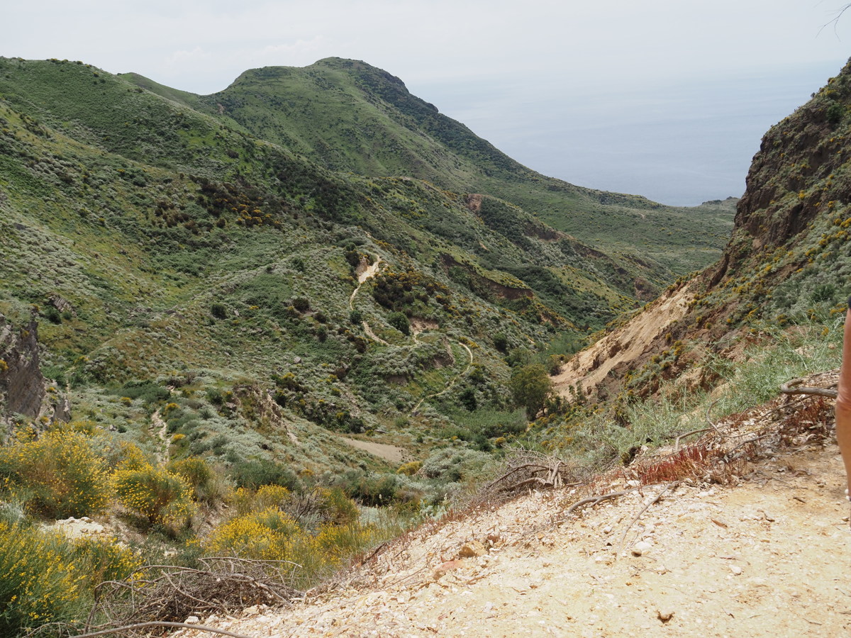
Sentieri degli Dei — 8 May
What they want to be the 'classic' walk. 9km, +200m/-450m, some nice path, quite a bit of rocky path, i.e. normal enough walking, taking c.2h30m.
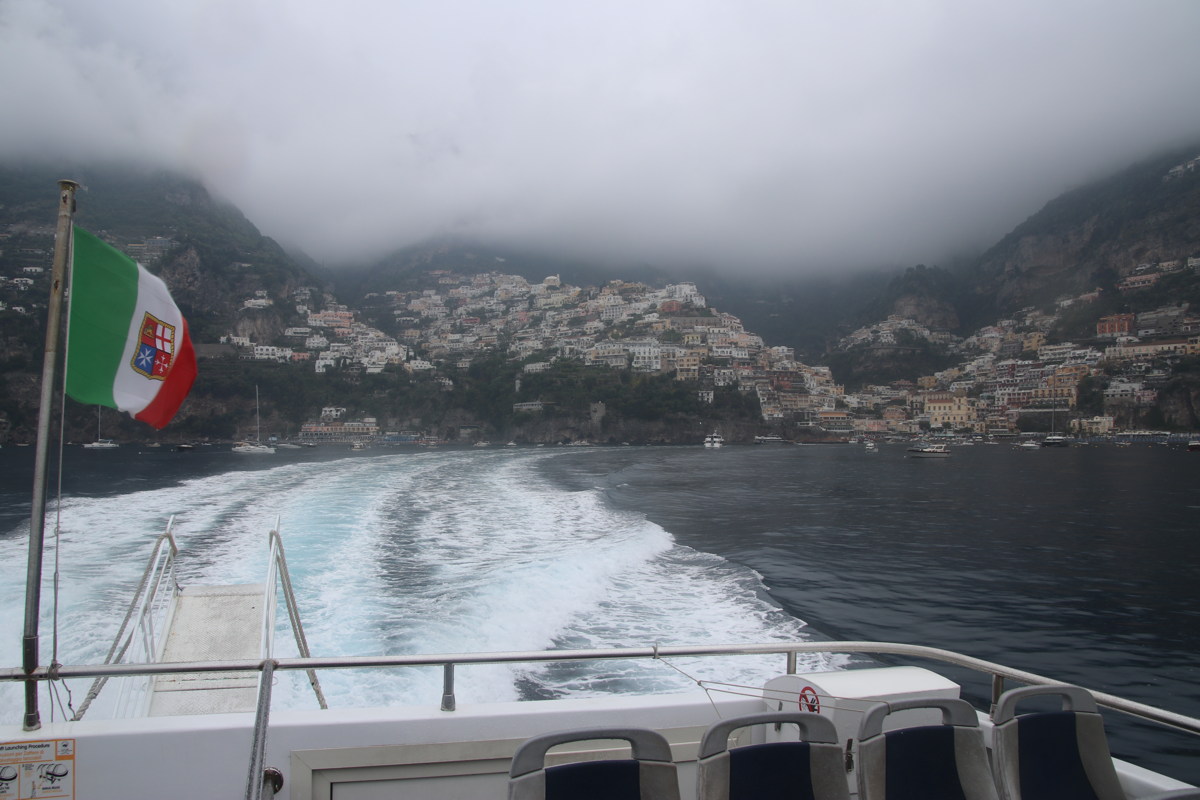
You walk from Bomerano Town Square, east to west, ending up in Positano, cliffs above, ahead and below, steep and varied coastline, easing down towards the western point. We took the higher option in the middle part, which does seem the better choice. The views justify the claim of being outstanding, even in steady light rain (but can be spoilt by slow-dispersing sea-mist).
You need to decide what to do once you get to Nocelle, still 250m above Positano. The choices are a many-km walk down a winding road (don't), a steep set of stairs recommended by no-one followed by a couple of km walking along a very busy road without (space for) a footpath, or an hourly bus (which was slow down a very narrow and congested road, but definitely the best choice).
Positano is a very tourism-dominated and vertical town; but that's where to get the ferry back to Amalfi, and from there a bus to Agerola. Verrry busy, so avoid late spring onwards!
The alternative of returning from Nocelle to Bomerano would be much better in peak periods, provided you're mountain-walking fit, a total day of +/- 650m and 18km.
|
|
|
|
Soon after the start,
dropping off the Agerola shelf |
A look-ahead to the
next phase of the walk |
The village of Praiano
down on the coast road |
Looking ahead to
the target, Positano |
|
|
|
|
Two walkers head of us in
blue ponchos indicate the scale |
Roger's view of
the misty western cape |
Linda's ditto |
Positano from the
ferry back to Amalfi |
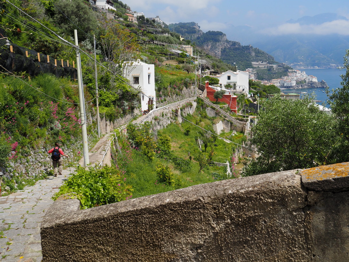
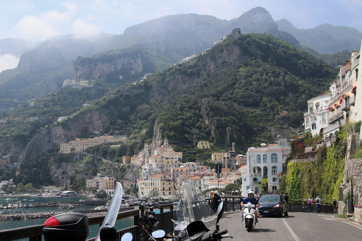
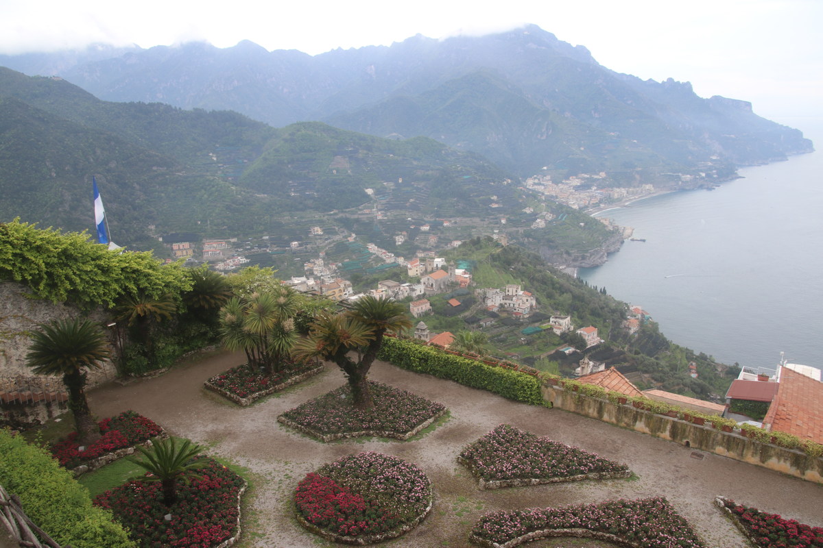
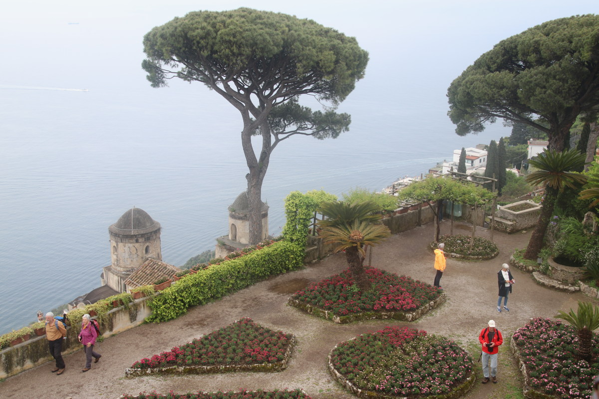
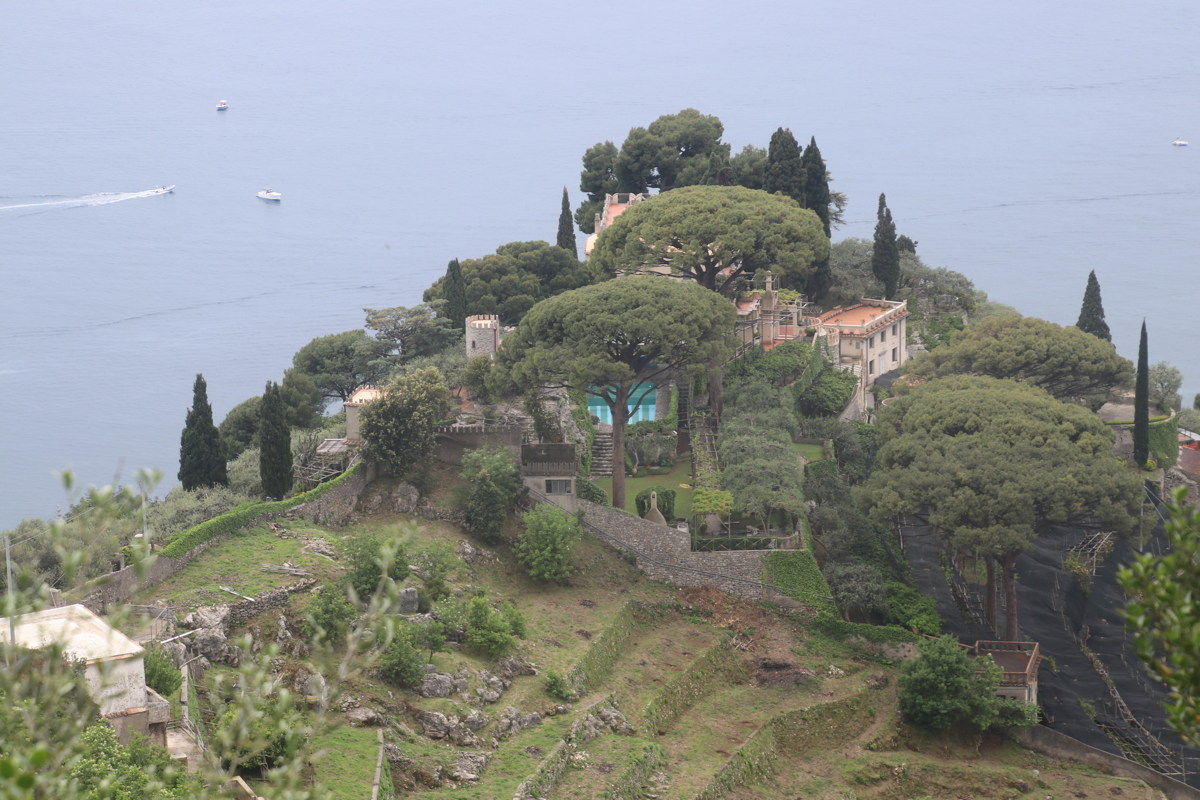
Ravello — 9 May 2023
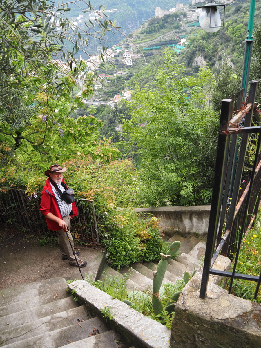
This was meant to be a day-off drive to a 3-star Michelin village. But a bus-crash (killing the driver) and resultant rockfall had closed the road, so we had the pleasure of a +/-150m set of very direct stairs up to the crest it's built on.
|
|
|
|
The Coast eastwards |
The Palazzo Balcony |
The better-looking and
easier part of the way down |
A Villa on the way down |
East and SE Sicily — 12-22 May 2023
| The area was dominated by various Hellenes — Myceneans, Athenians/Attic and Byzantines — for several periods between 800BC and 700AD. Some of the walks were cultural rather than full-blooded hiking; but we've included them anyway. They are: |
|
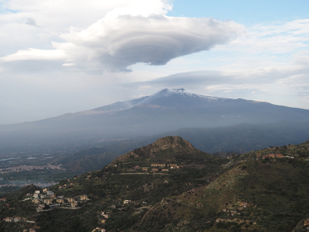
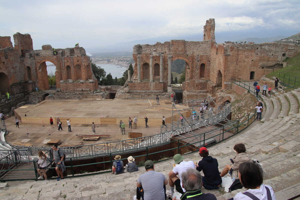
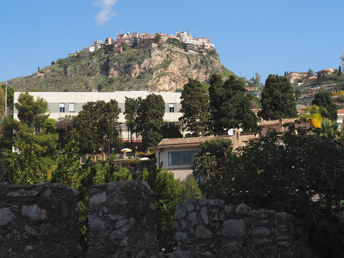
Castelmola to Taormina — 12 May 2023
We walked from our Hotel at 529m to the Taormina Teatro at 204m, and back again. Given that's 325m of steep height difference in just over 2km, plus a few km around the town, I reckon it's fair enough to include it as a 'mountain walk'.
|
|
|
|
Taormina from our Hotel,
Teatro hidden top-left |
And, to the right, Etna |
The Classic Teatro shot,
but Etna now shrouded |
The path back up,
this time right-side |
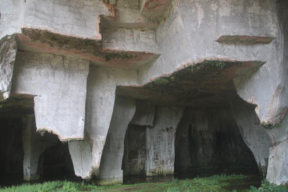
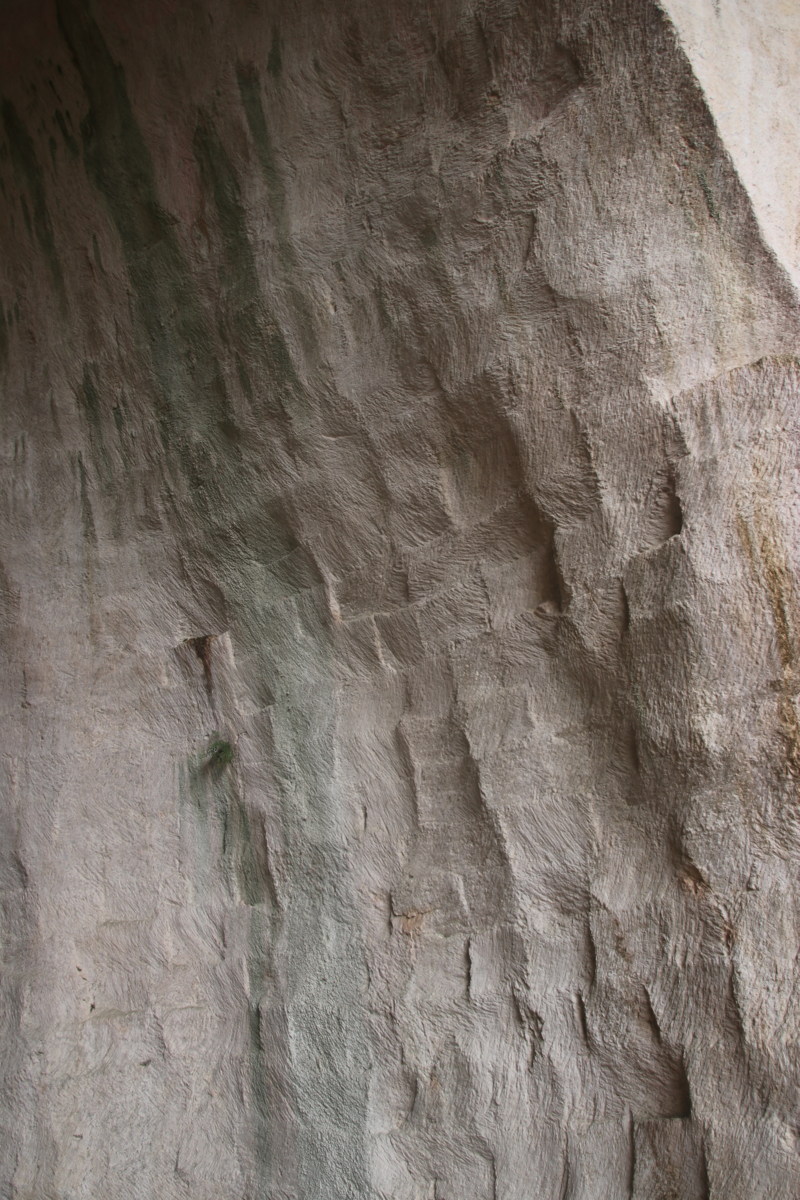
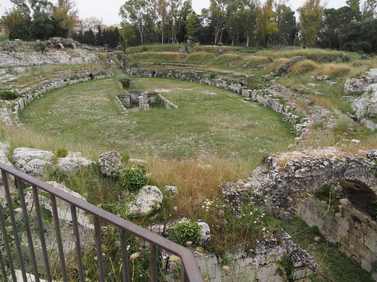
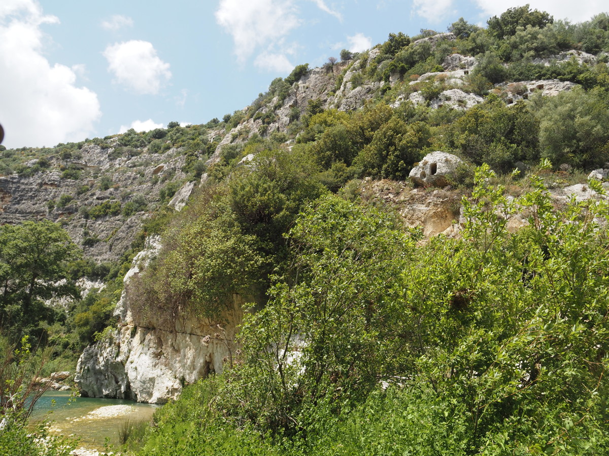
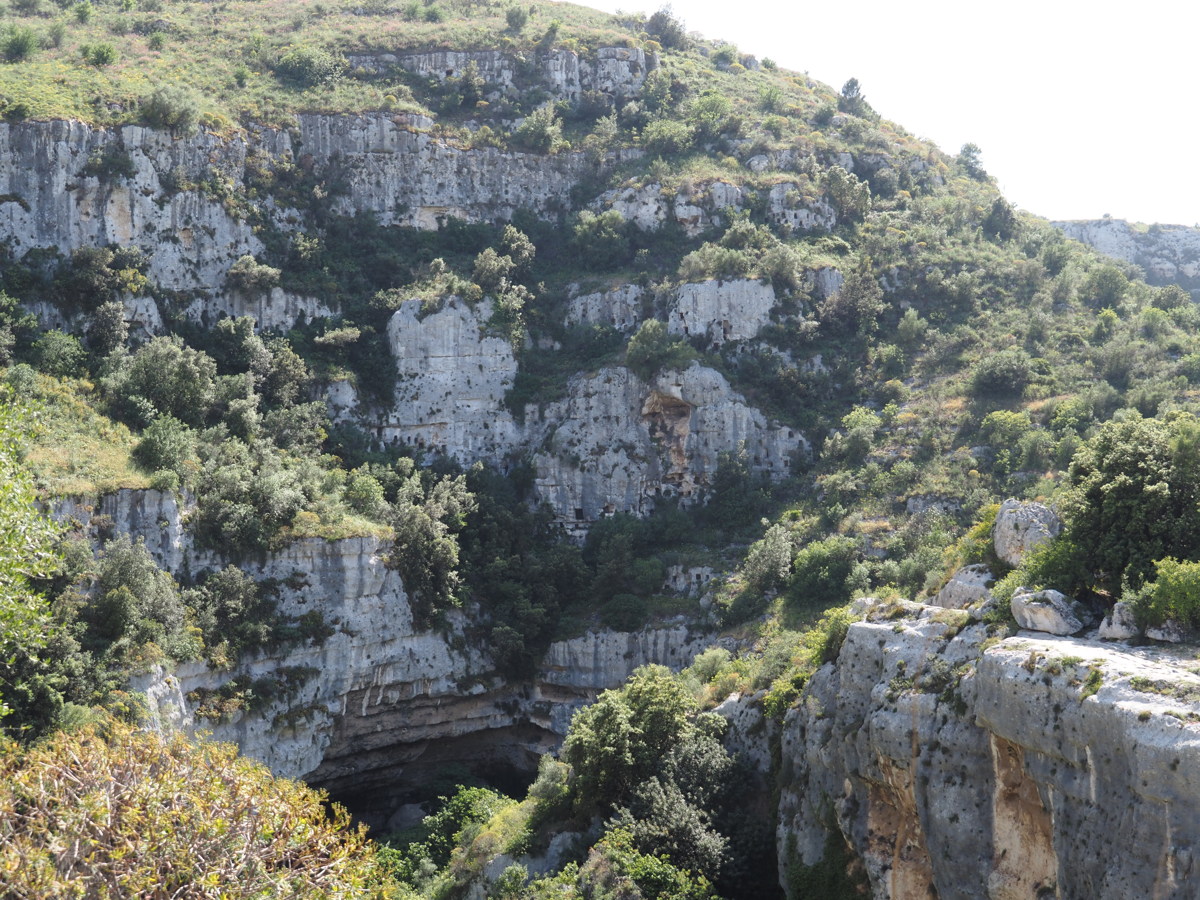
Neapolis at Siracusa — 14 May 2023
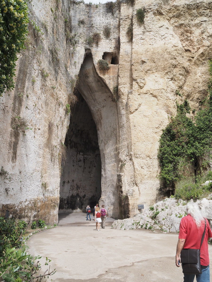
This wasn't really a walk, but a couple of the features of the old Greek, later Roman, facilities really did demand attention. What appear as caves are actually quarries for the 4th century BC Greek theatre and Roman edifices until 200-300 AD.
|
|
|
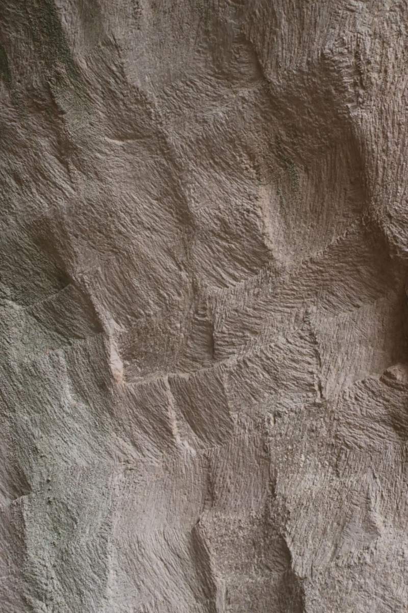
The most striking of
the cave/quarries |
The negative, i.e. what's
left on the wall after
the blocks have been removed |
And the detail |
|
|
The cave/quarry 'Ear of Dionysius',
justification unclear |
Unusually, the Roman Theatre is
more interesting than the
too-heavily-reworked Greek one |
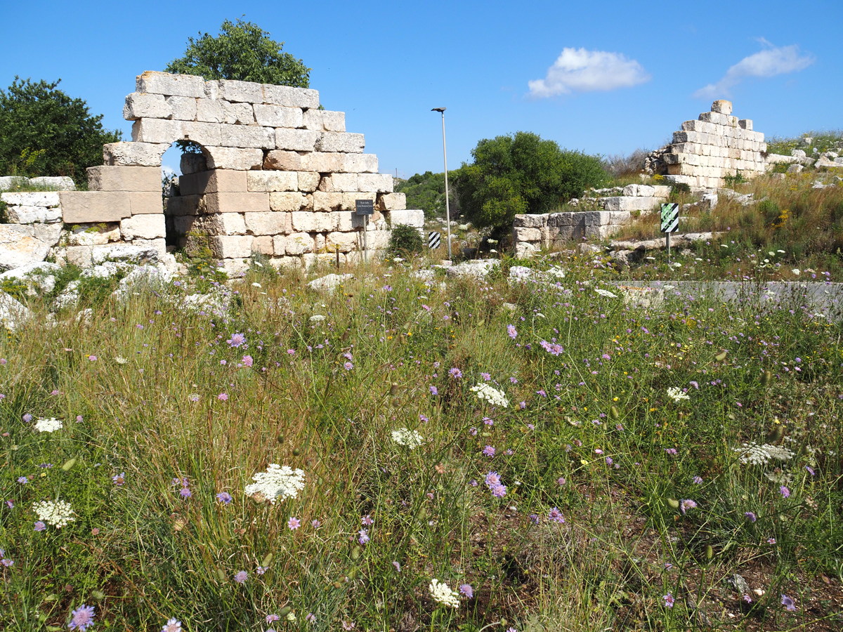
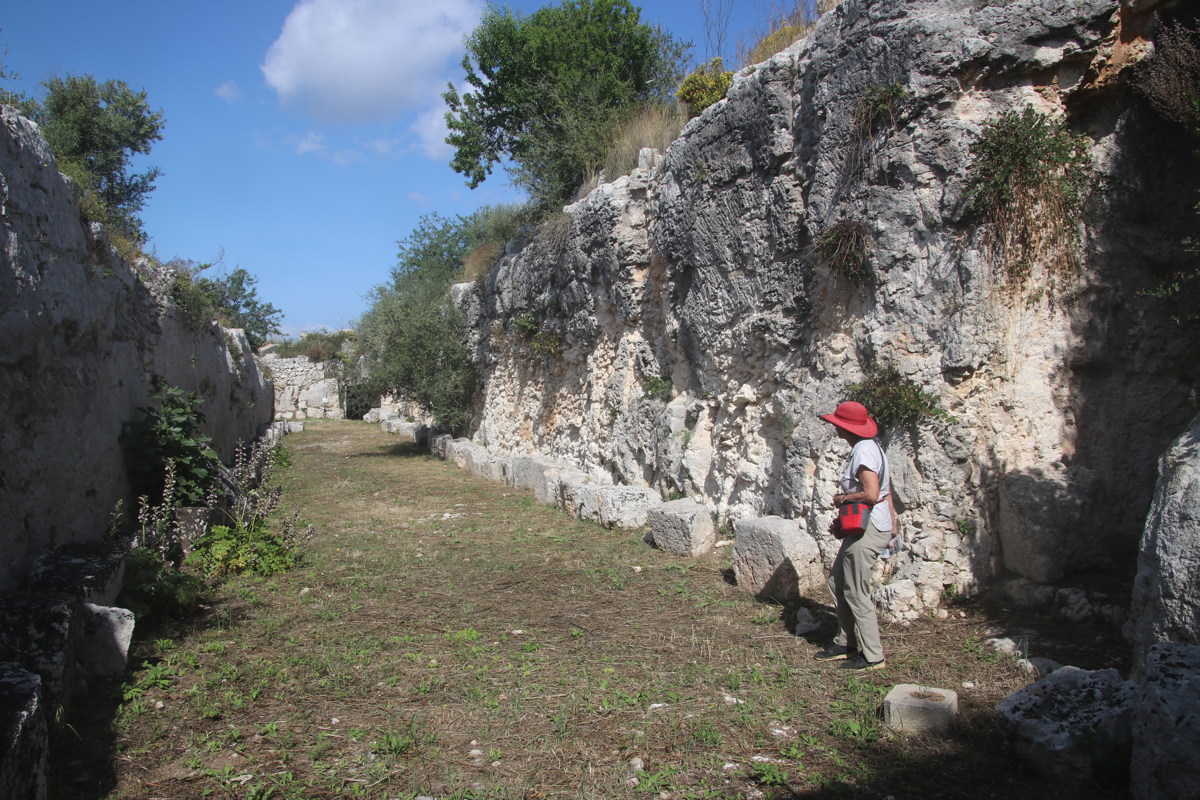
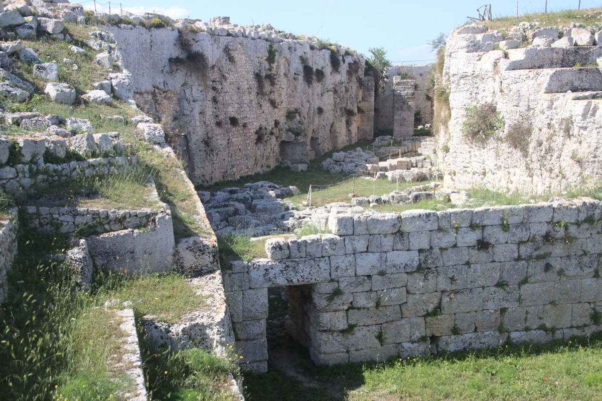
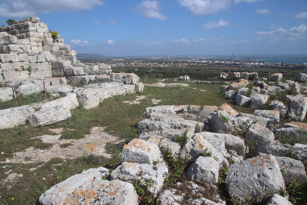
Castello Eurialo — 17 May 2023
Also not really a walk, but a visit to the ruins of the 3rd-4th century BC castle of Dionysius, atop the hill west of Siracusa. Much more like a precursor to mediaeval castles than a remnant of the Iron Age, it features multiple ditches and a series of tunnels for repositioning soldiers on the walls.
|
|
|
|
The 2300yo walls |
Walls ... |
... and Ditches within |
Protecting the coast,
incl. oil refineries |
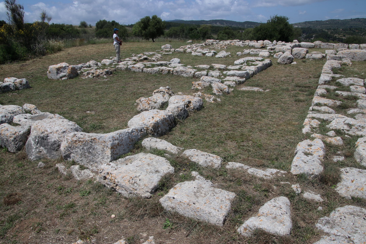
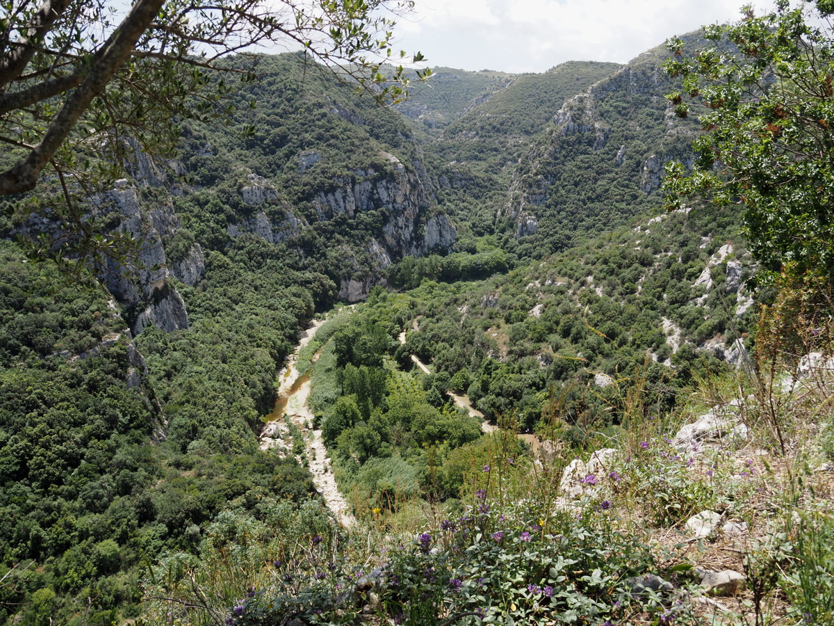
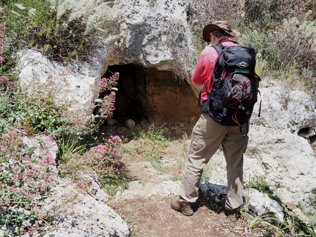
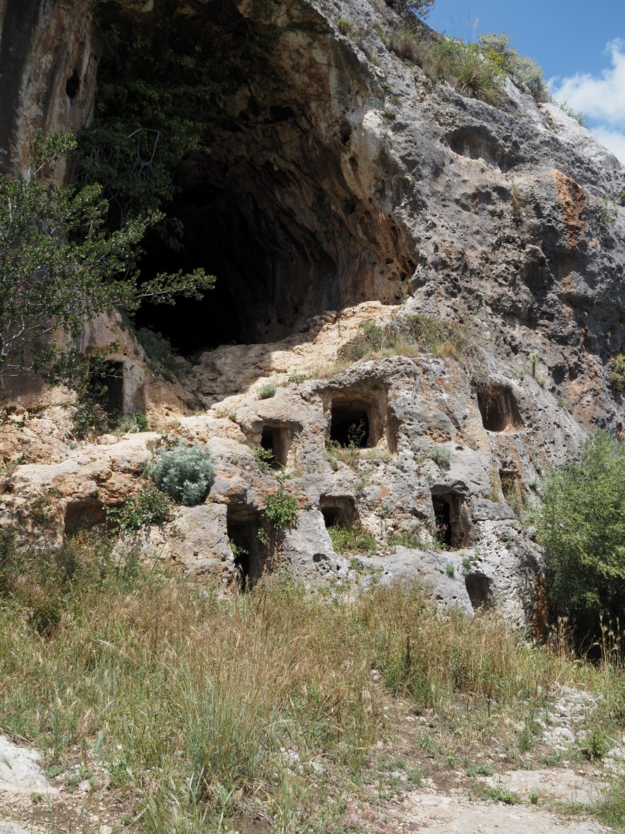
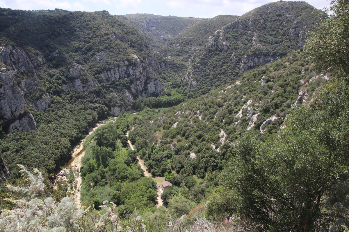
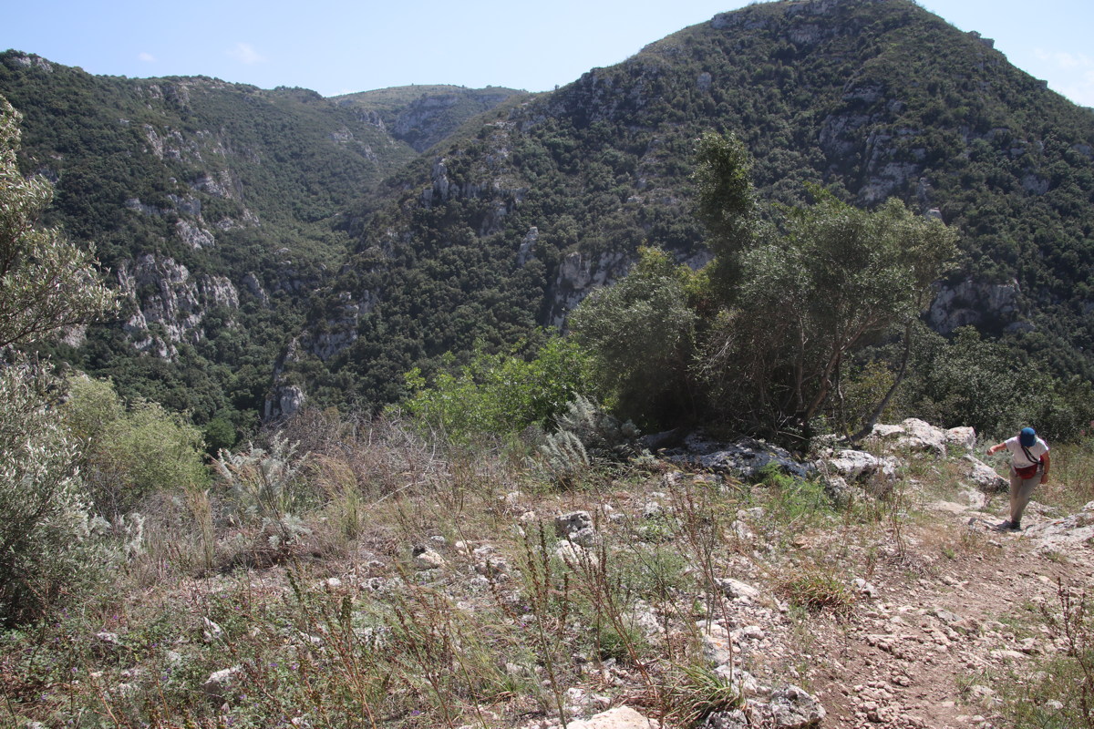
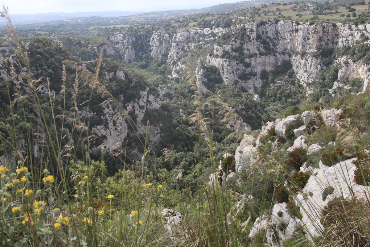
Pantalica Gorge — 17 May 2023, -/+375m?, 6km?
A deep gorge with a c.12th century BC necropolis, comprising enlarged grave-caves in limestone walls. Also the foundation-stones of the significant c.11th century BC Anaktaron at the top.
|
|
|
|
What did the Mycenaens
ever do for us? |
At the top of the gorge |
A cave |
It was one of many |
|
|
|
|
A station-now-museum beside
the stream and now-cycleway |
A pool along the stream |
The other wall of the gorge |
Nearing the top again |
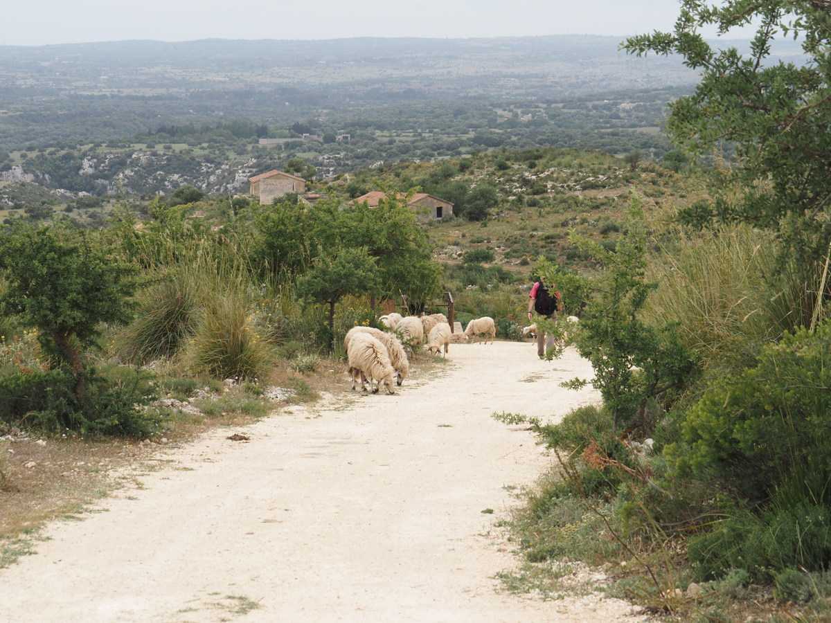
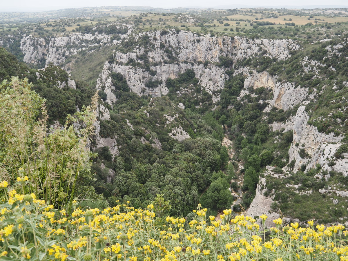
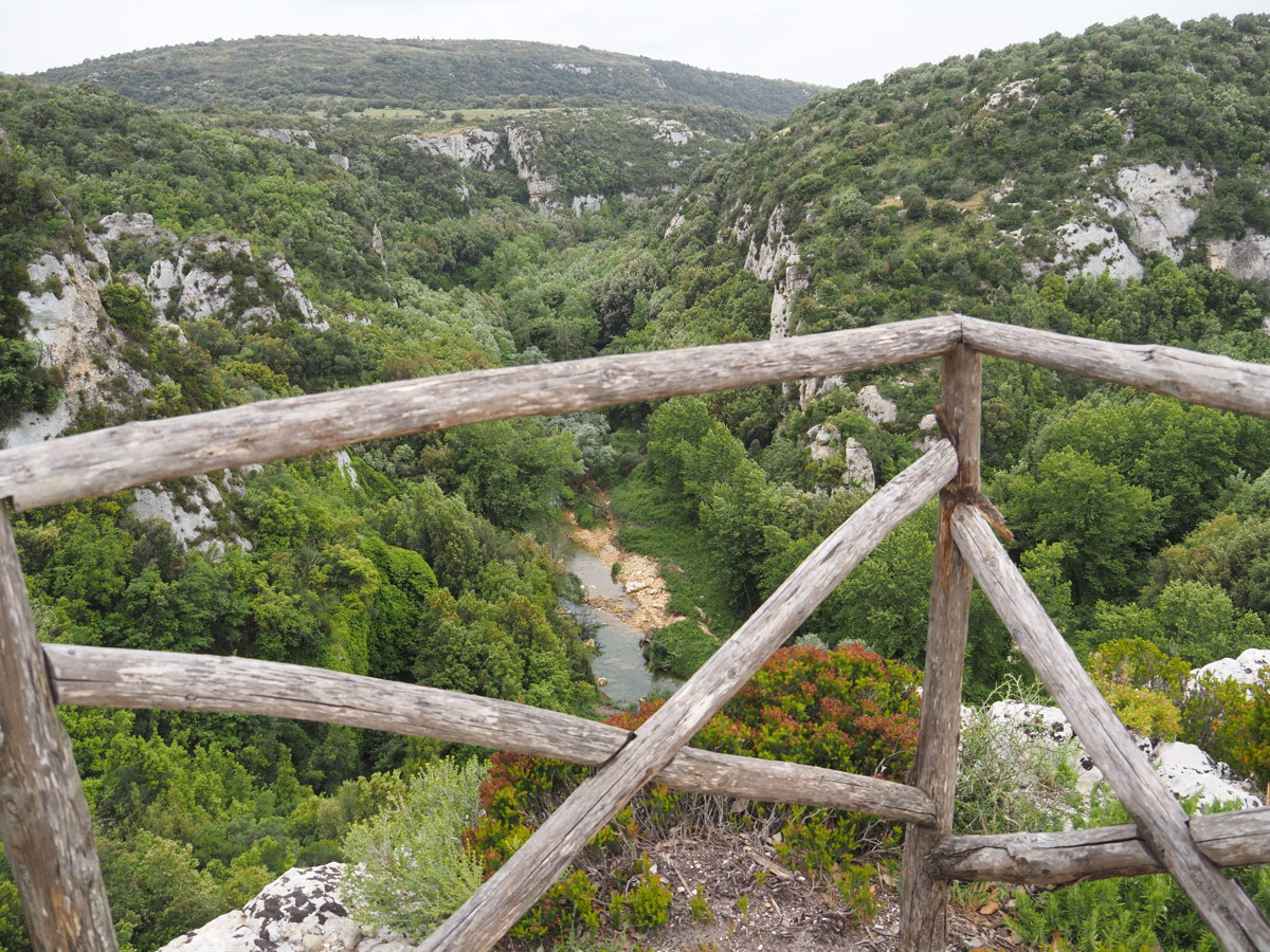
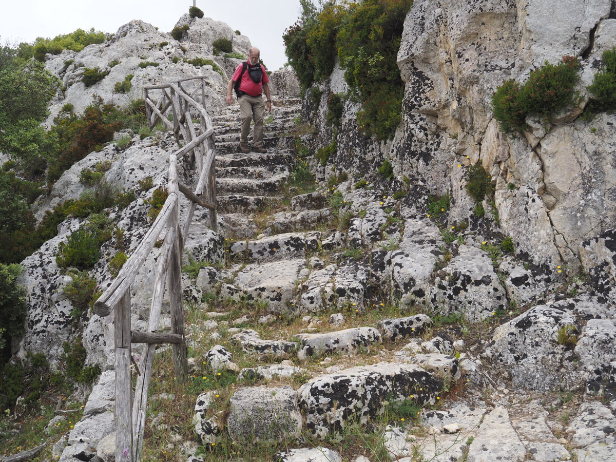
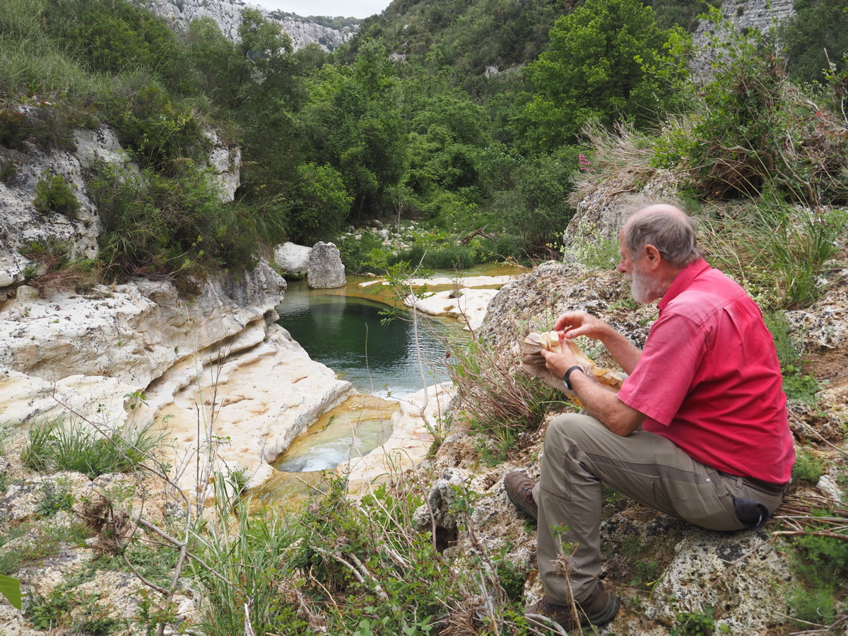
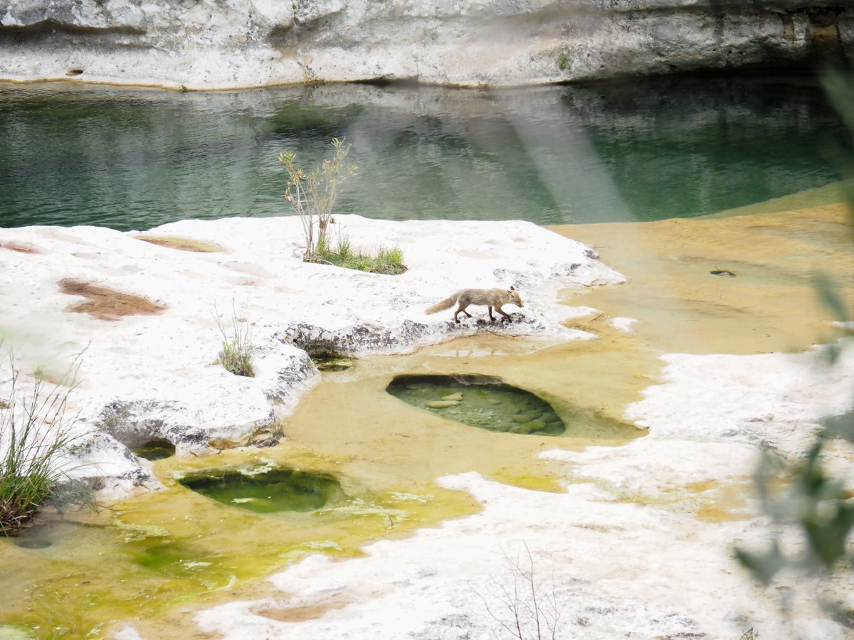
Cavagrande del Cassabile, -/+275m, 5km (after Noto) — 19 May 2023
This is a less deep gorge that's being returned from marginal grazing to a reserve. It needs some more investment to sustain the paths (particularly the other, steeper one that's suffered a fire and rockfalls), but worth the visit. Pity about the sign-posting.
|
|
|
|
An inauspicious start? |
The surrounds, and denizens |
First view of the gorge |
And from further down |
|
|
|
|
"Donkey steps down",
as Linda charmingly put it |
Lunch pools ... |
... with company |
At the top again,
in afternoon light |
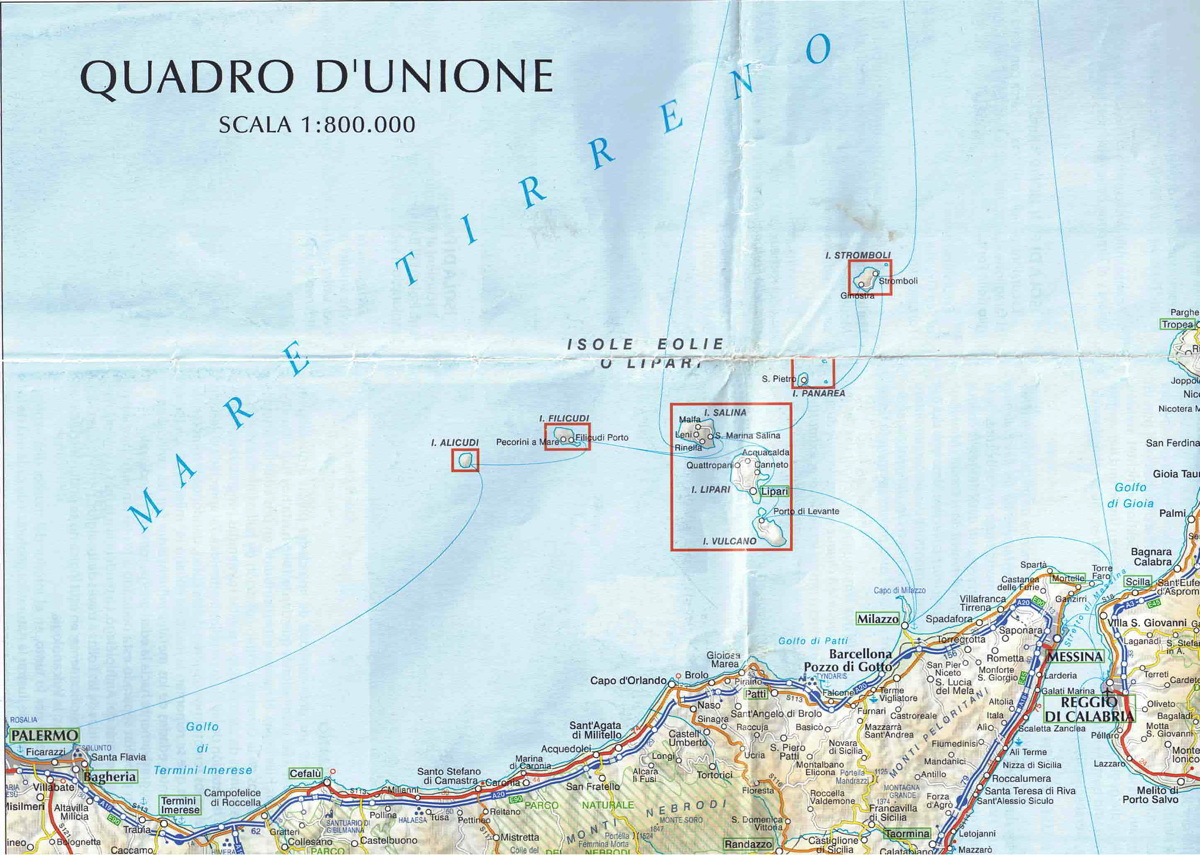
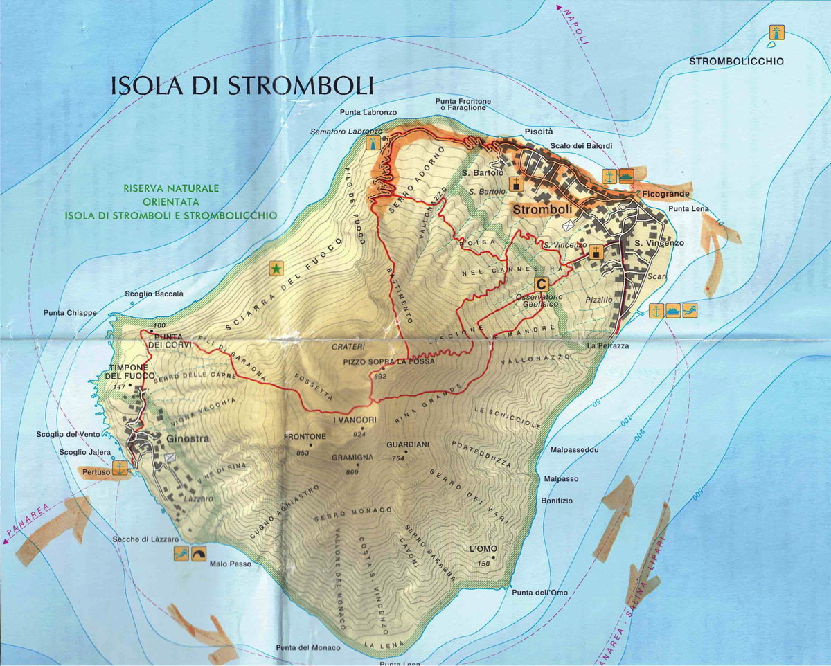
Aeolian Islands — 23-28 May 2023
| This is a cluster of volcanic islands North of the NE end of Sicily. Like other islands in the Med, they have deep history. They're also deeply embedded in Greek legend, particularly Vulcano and Stromboli. The walks we did were: |
|
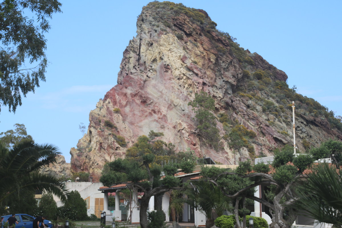
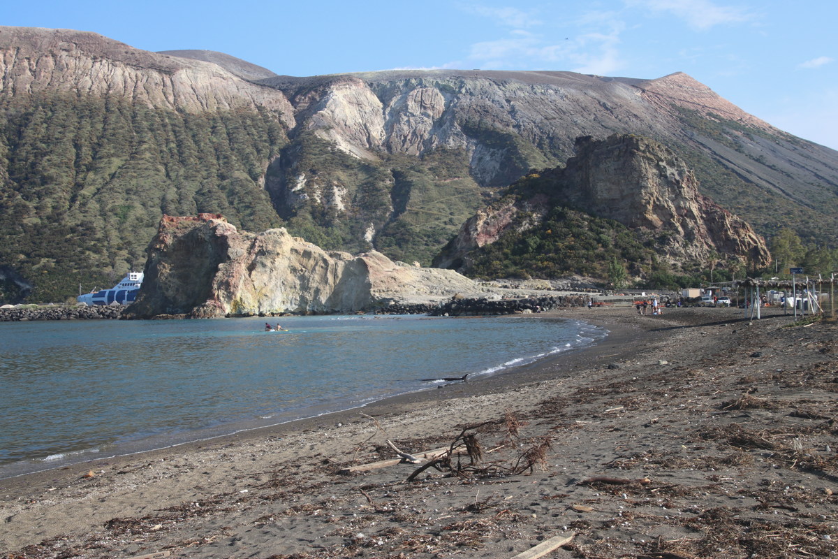
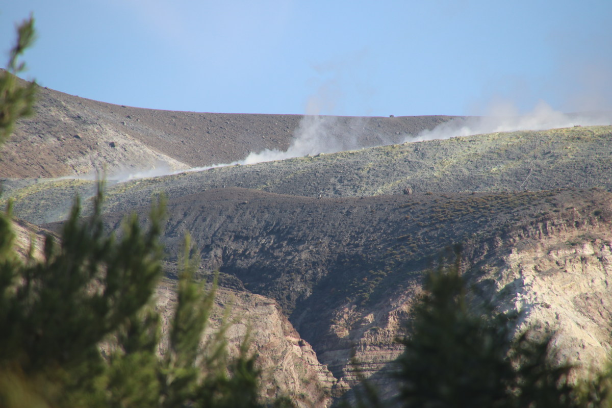
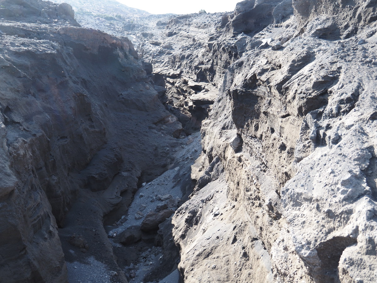
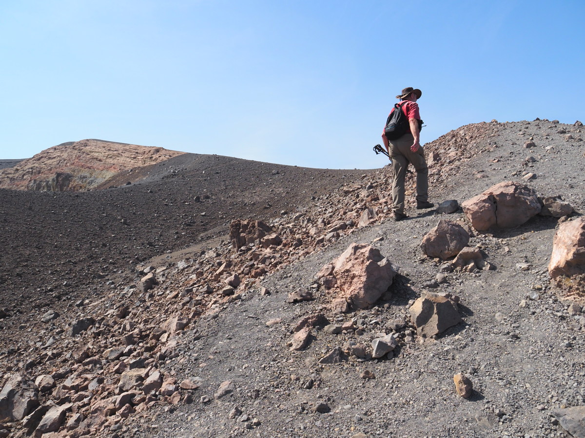
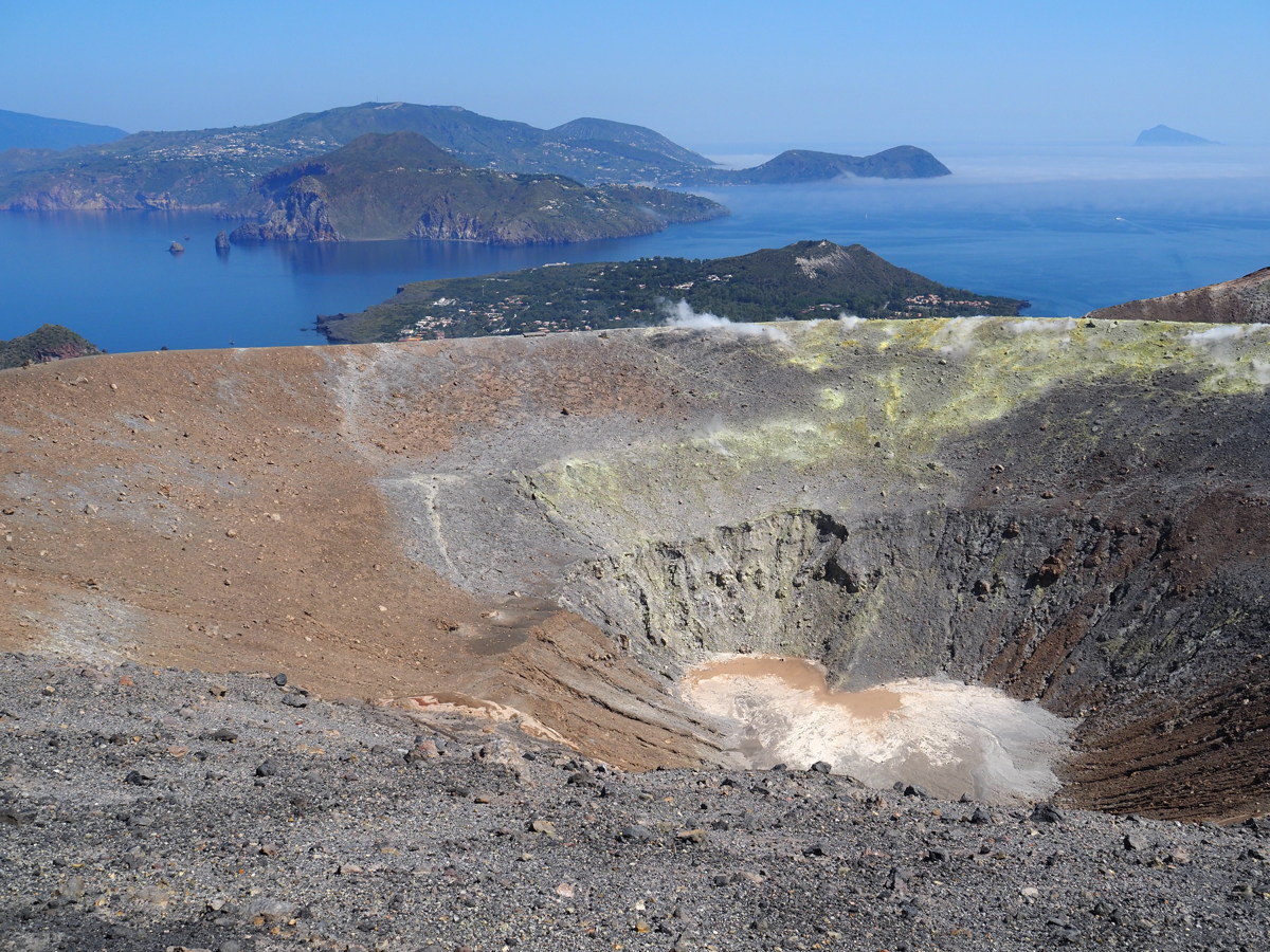
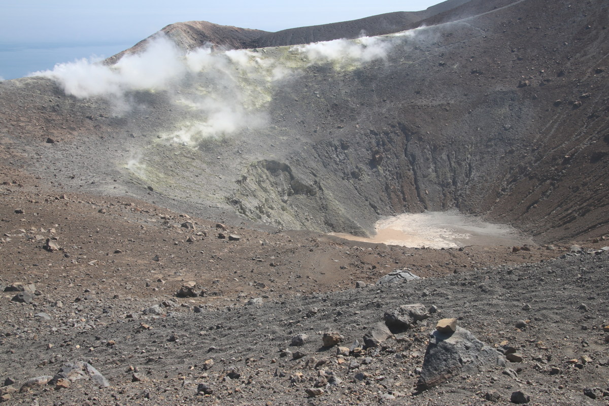
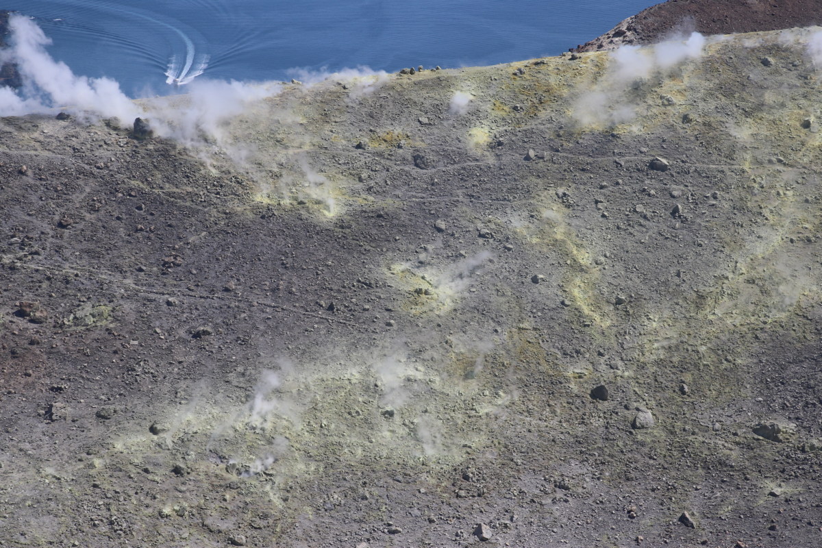
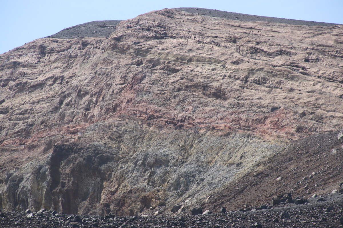
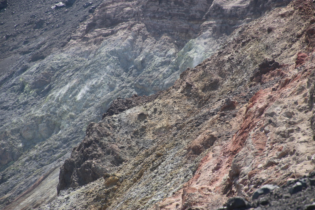
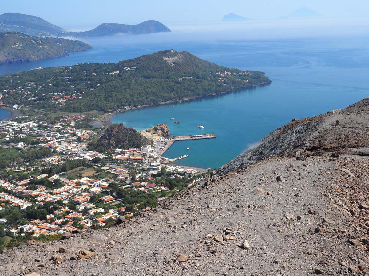
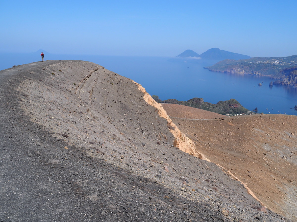
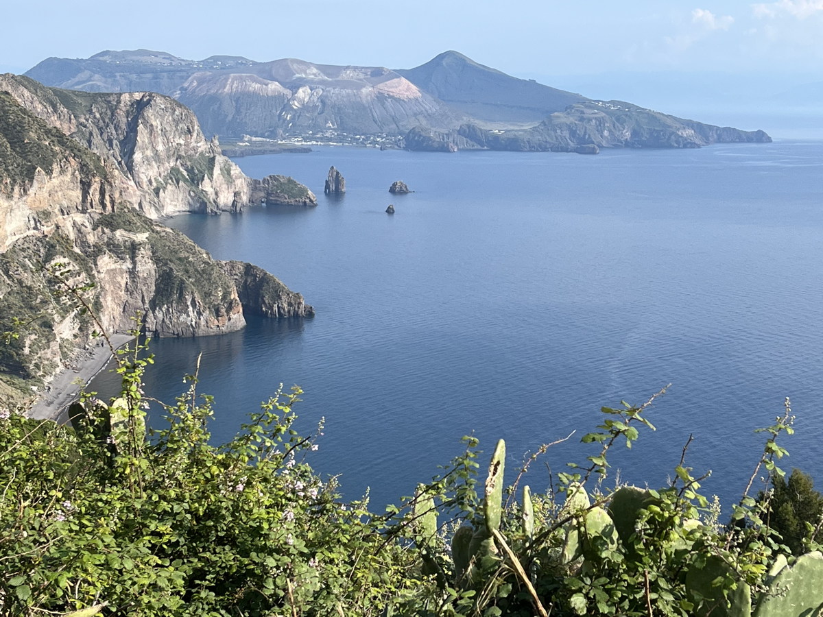
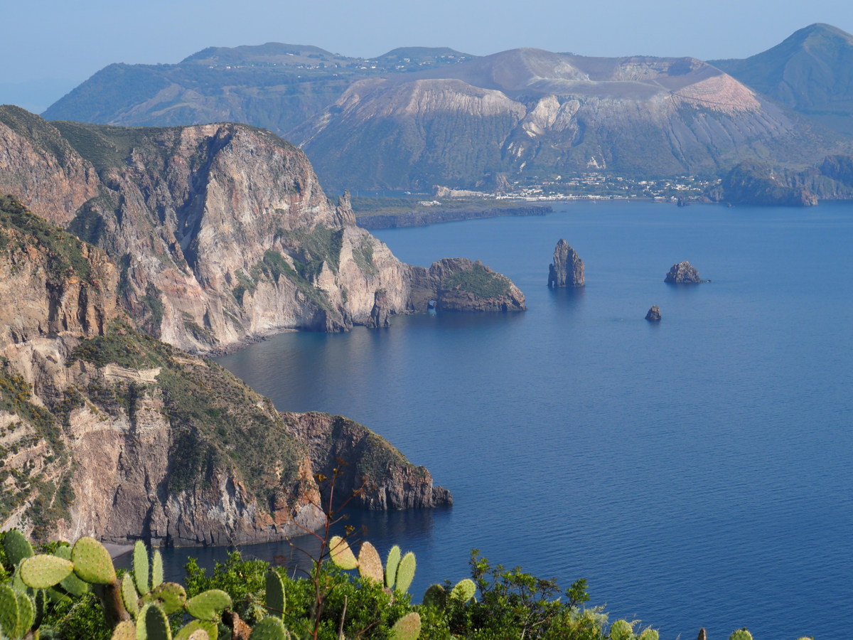
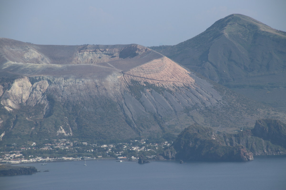
Vulcano Crater-Rim — 24 May 2023
We've cheated here and included 4 from the previous evening, when we ferried in. We walked a short way along the road from our B&B, and walked +/-350m up the slope to overlook the crater. A couple of small fumaroles close to the entry-point to the rim blow sulphurous smoke across you, depending on the wind-direction; hence the (universally ignored) red traffic-light at one of the entry-points.
|
|
|
|
The colours on arrival |
The vulcano above the village |
The fumaroles 300m above our B&B |
Black Beach near sunset,
where Linda swam |
|
|
|
|
Lava-funnel going up |
The path |
At the rim |
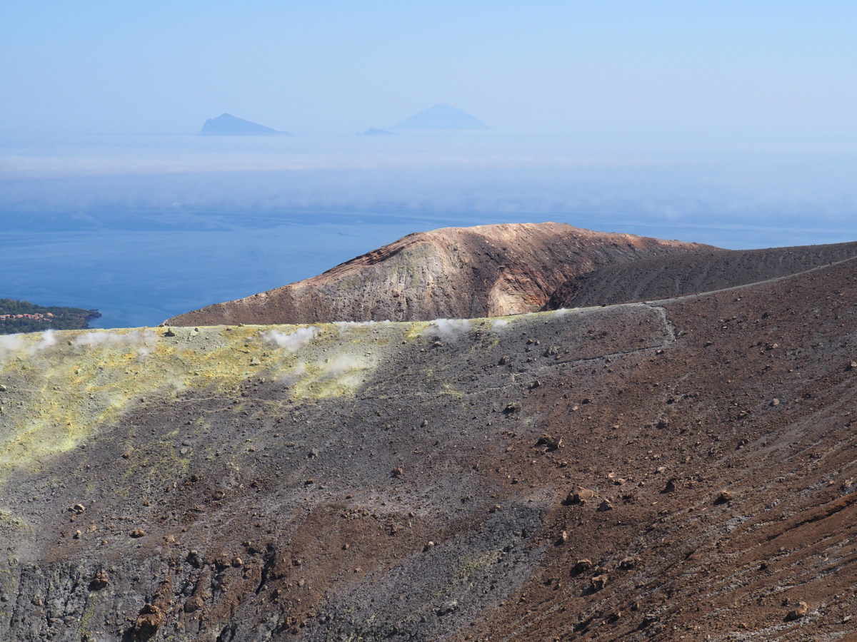
The crater |
|
|
|
|
The crater, with ... |
... its main fumaroles |
The colours |
More colours |
|
|
|
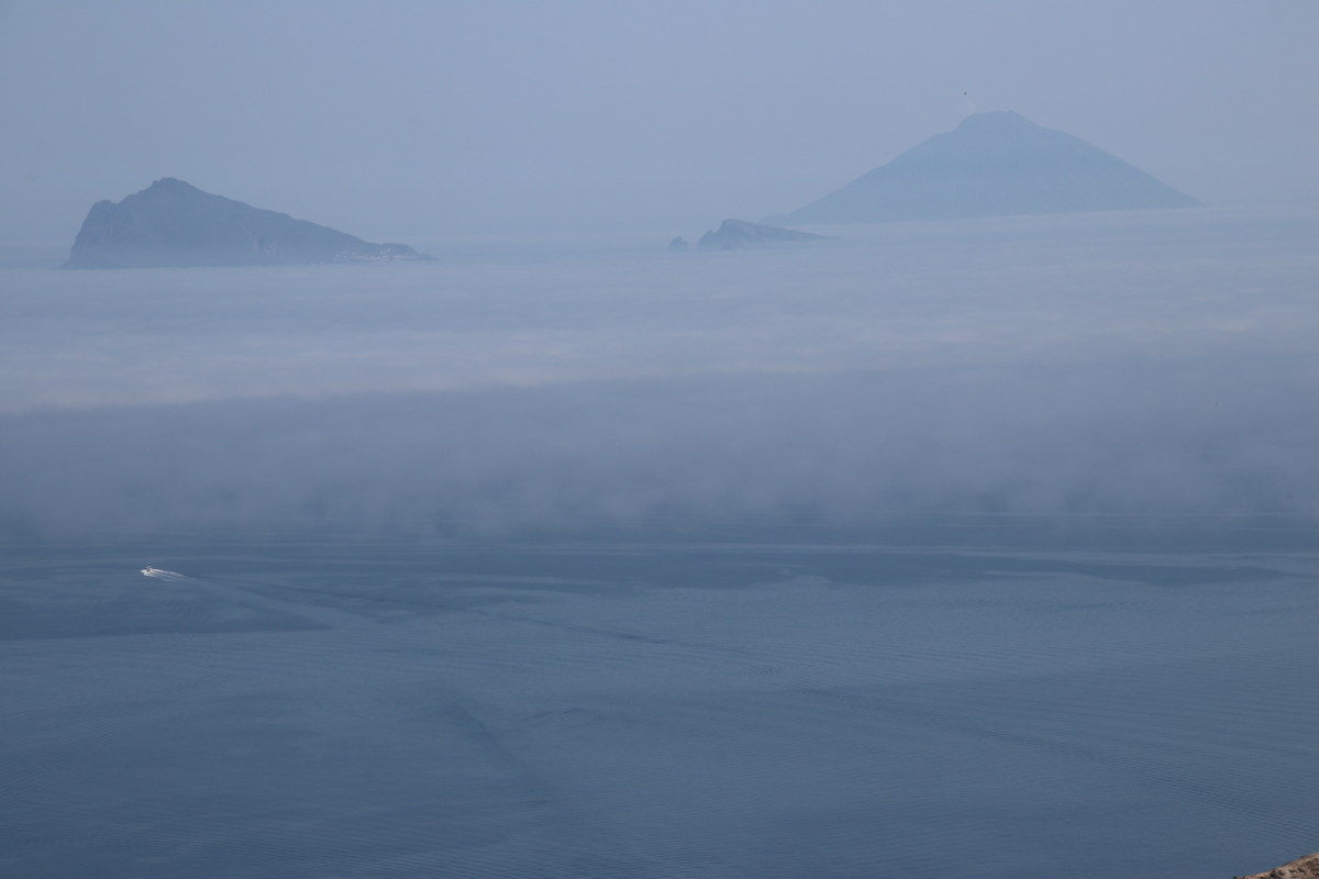
Views to Lipari top left,
Panarea top right |
Crater, Panarea, Stromboli |
The rim, Lipari mid-right,
Salina top-right |
|
|
|
Panarea and Stromboli |
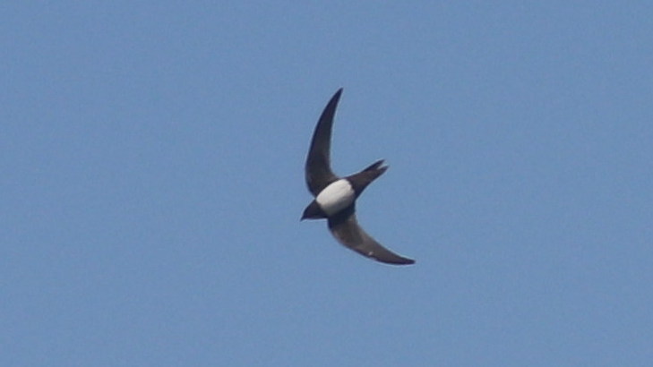
A Pale Swift above the rim
(Apus pallidus, like the Needletail
we share with Siberia) |
Looking back up the walk,
people visible on the rim |
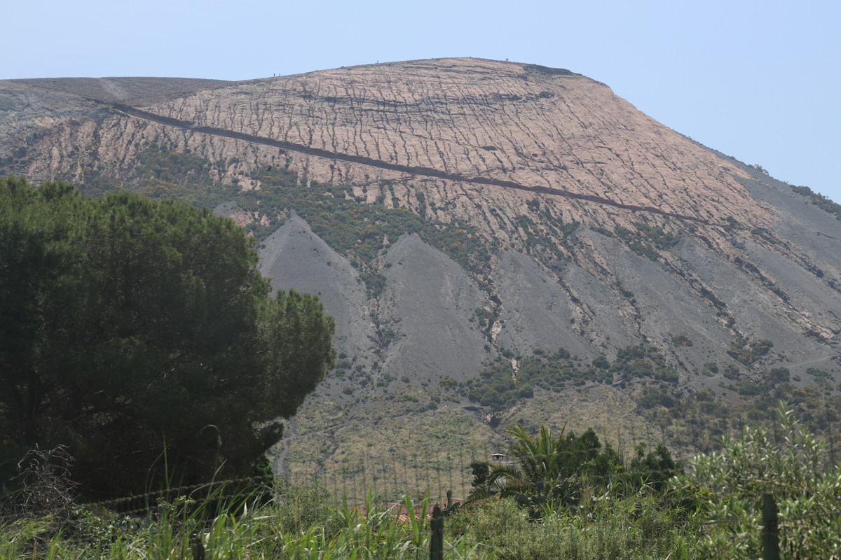
Lipari West Coast — 25 May 2023
| We took a bus-ride from Lipari west to Pianoconte, followed by an 11km, -250m / +375m walk to the west coast and back up to Castelaro, and a bus-ride home. It was windless and reflective on the steep and uneven path up, and Roger over-heated. Apart from that (and the absence of any markings to indicate where the track started, changed direction or finished), a reasonable walk. |
|
|
|
|
|
The west coast,
looking across at Salina |
One of a few inlets |
The track back up |
Looking back at part of it |
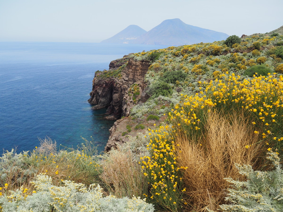
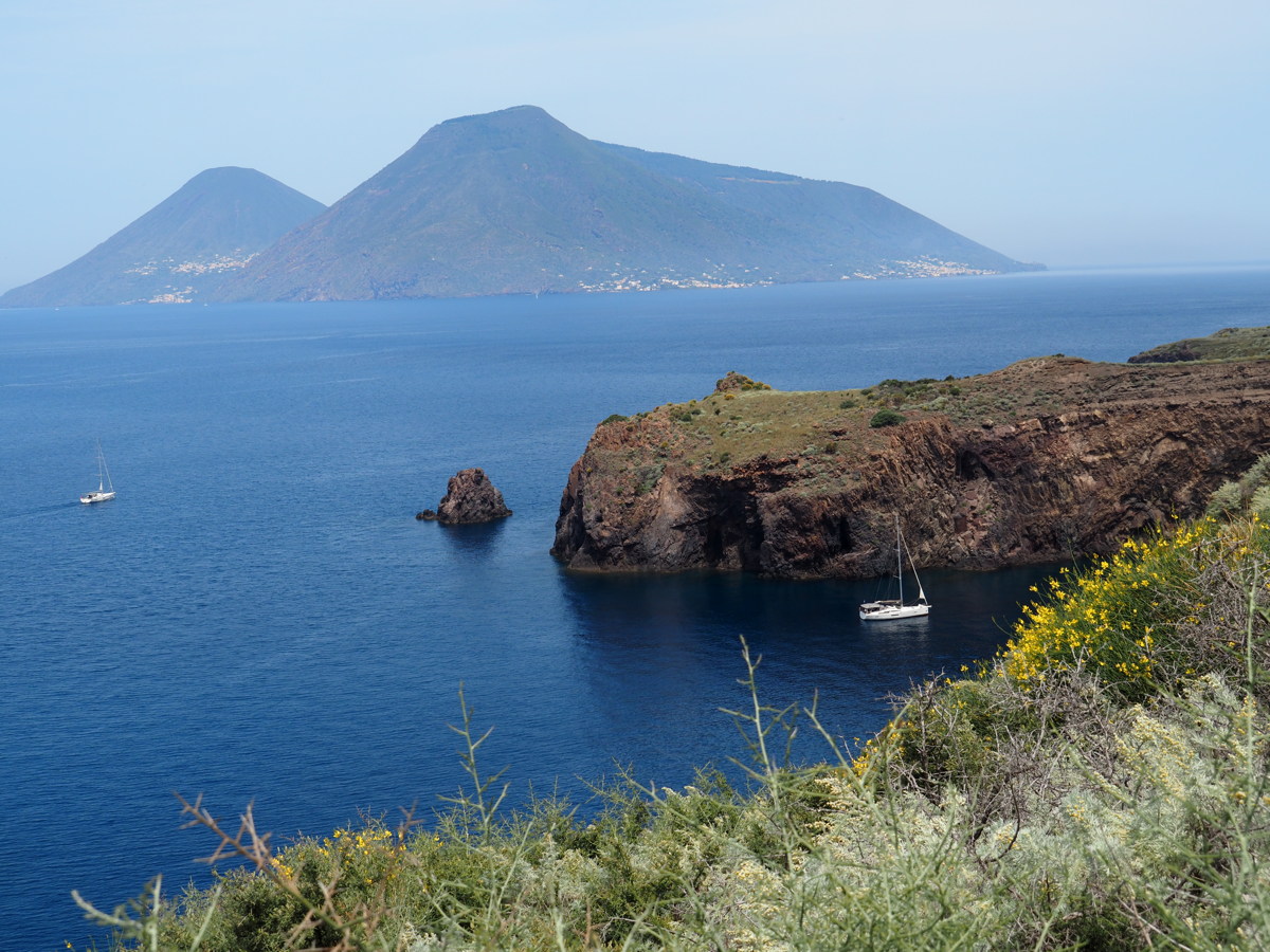
Lipari Belvedere — 26 May 2023
In the absence of a bus at a sensible time late afternoon, we took an expensive taxi-trip for the 5km up to the lookout on the SW coast, to take shots South along the Lipari cliffs to Vulcano. That left a 2.5km / -200m tumble down an (unmarked) ancient path with occasional road-sections. It's the best photo-opportunity on the island, so it was worth it. But the light-conditions were changing, and challenging, so we've used shots from 3 different cameras.
|
|
|
Lipari foreground,
Vulcano distant |
Lipari's coastal rocks |
Long-distance, focus
on the Vulcano rim-walk |
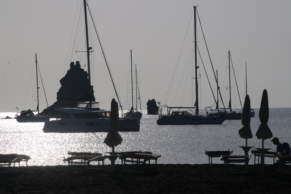
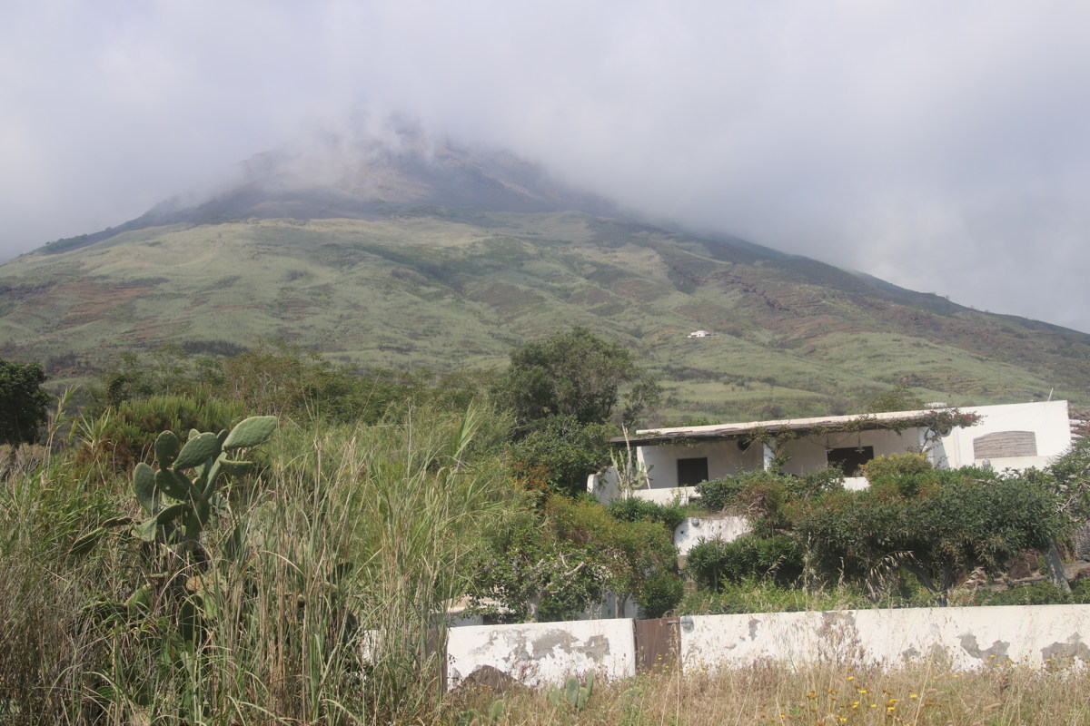
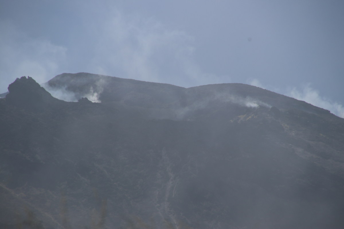
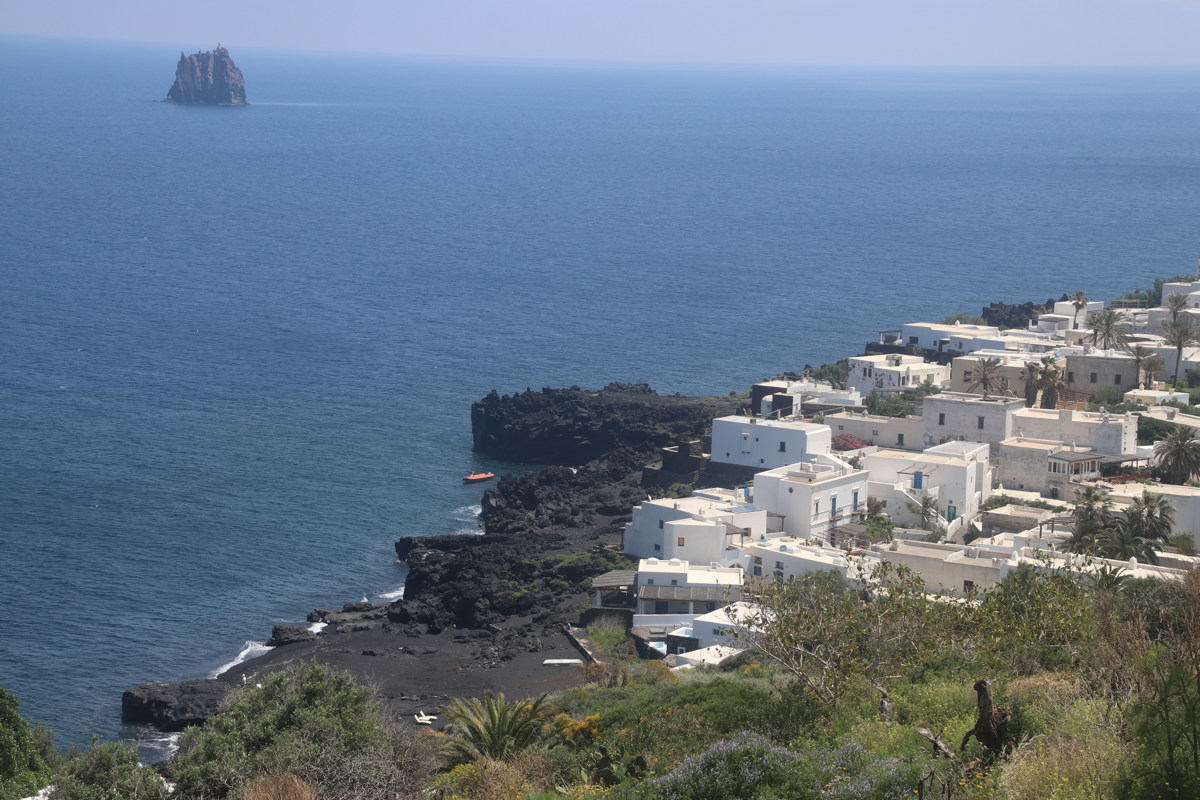
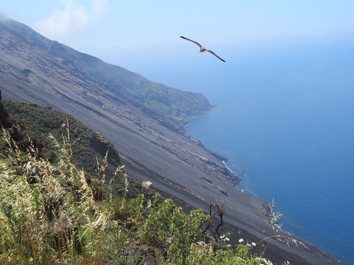
Stromboli NW Flank — 27 May 2023
| Tourists haven't been allowed anywhere near the crater-rim for some years. The nearest that guided parties of 20 get is 400m up the NW ridge of the 920m peak, which affords a view of the Sciarra del Fuego / fire-scar / long belt of hardened lava that falls down to the sea on the western side. The non-payers are supposed to stop at 300m, where there's a view of only the lowest third of the Sciarra. It was an easy walk, and well worth doing as a day-trip from Lipara: 1.7km along the northern coastal path, then 2.6km up the 300m from the beach to the lookout. |
|
|
|
|
|
Stromboli, from the village |
From higher up,
fumaroles at the crater-rim |
Strombolecchio (stack),
and Linda's beach |
Sciarra del Fuoco,
the west-side lava-field,
from the 300m viewpoint |
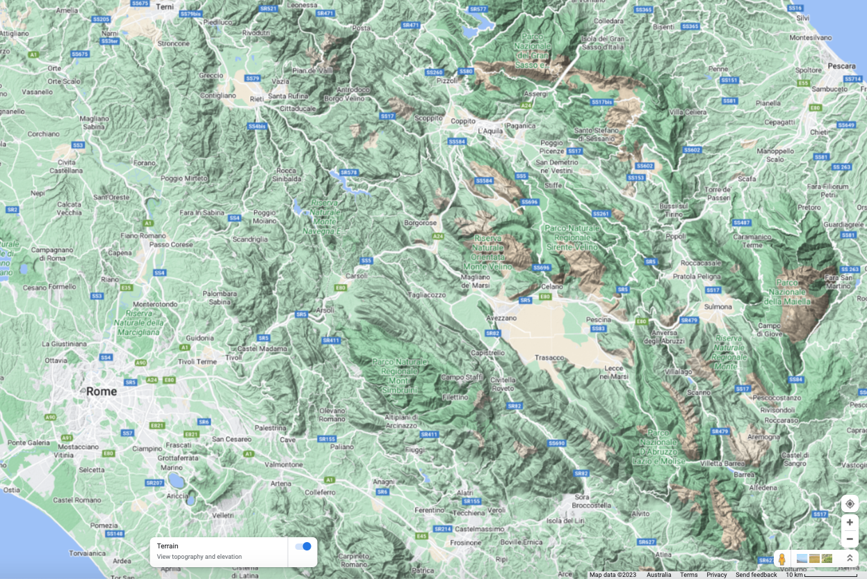
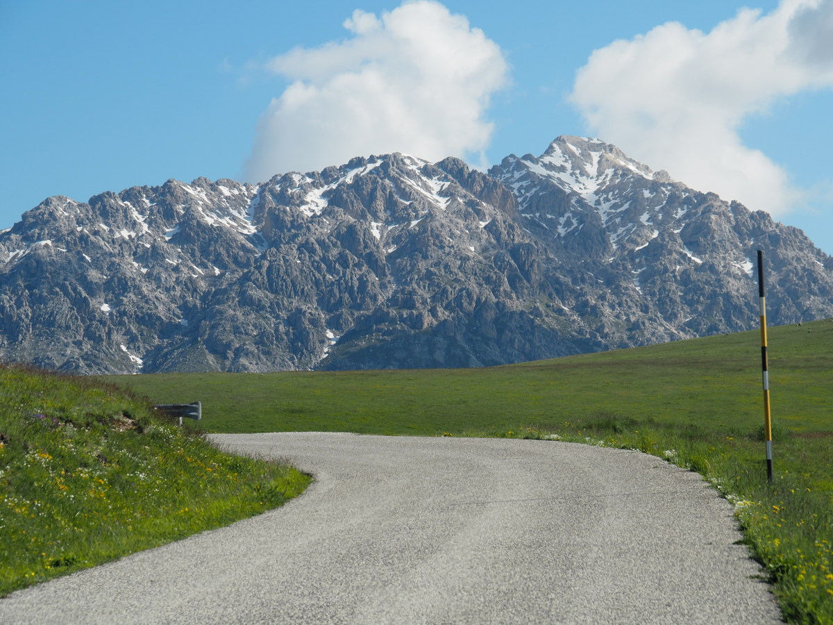
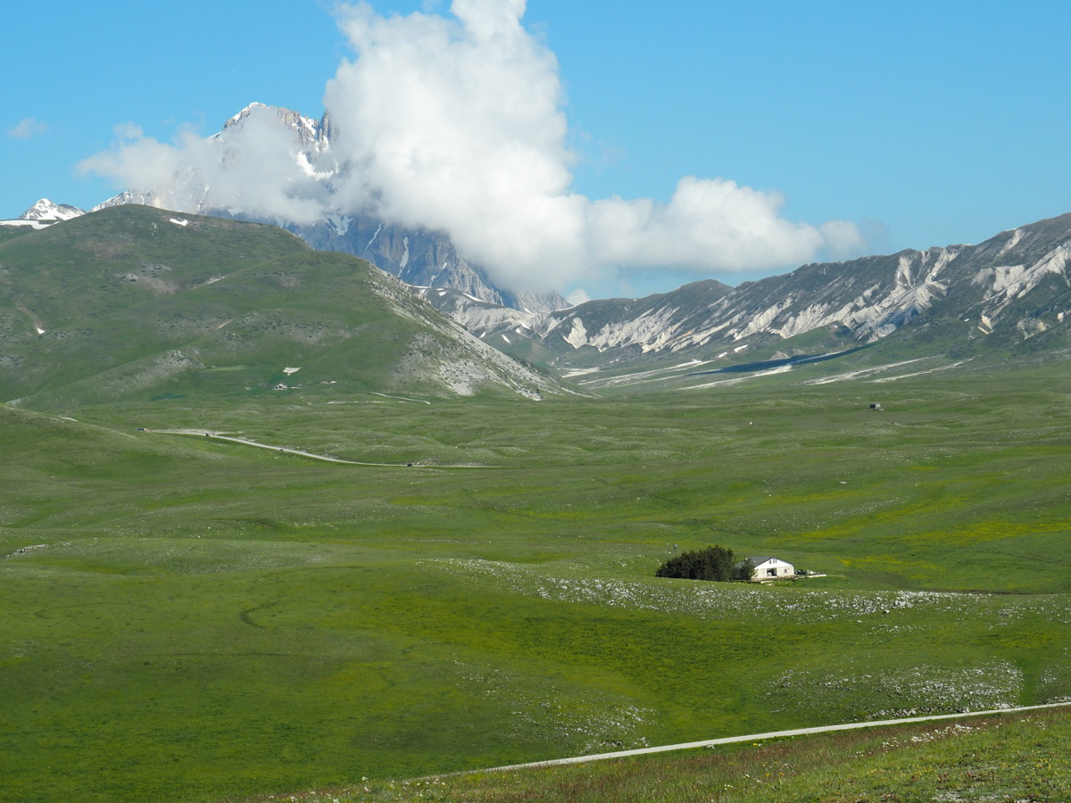
Abbruzzo Apennini — 31 May to 3 Jun 2023
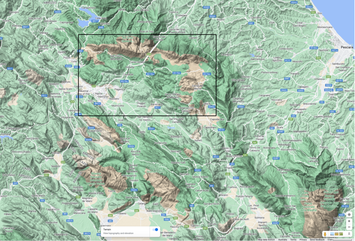
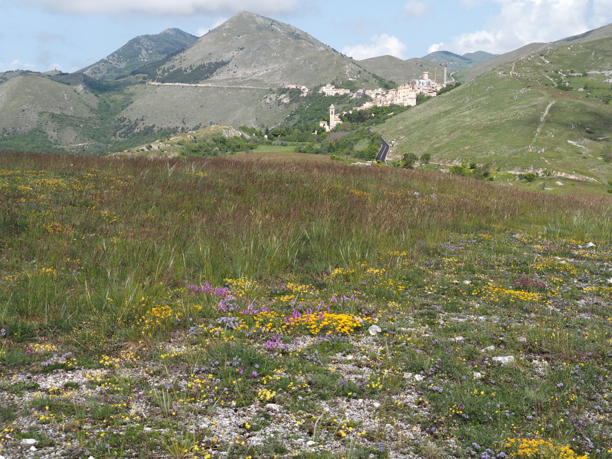
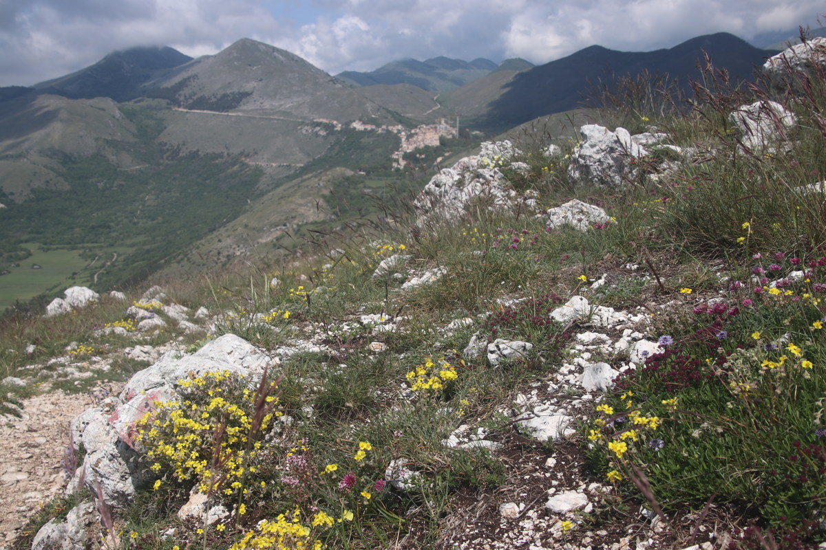
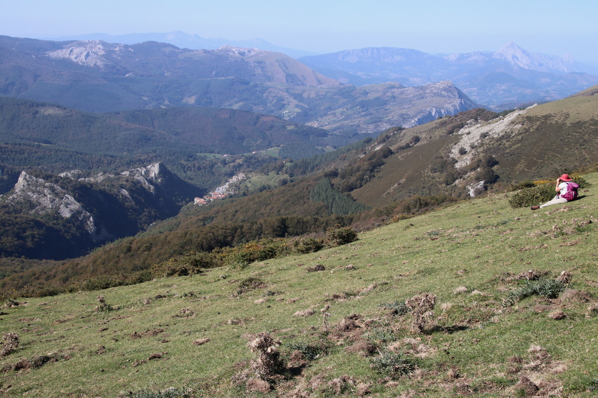
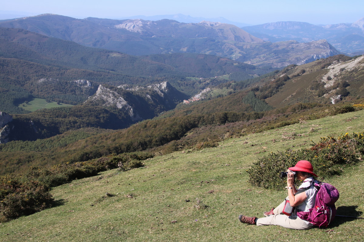
The Apennines run from the Po Valley down most of the spine of Italy. The most impressive part, in terms of all of height, landscapes and biological value is the Abruzzo section, east of Rome. A couple of ranges have several peaks in the 2300-2400 range, and the standout is Corno Grande, at 2900m. We stayed at now-trendy Santo Stefano di Sessanio. The 2009 L'Aquilo earthquake destroyed the Medici-built tower, and they have cranes up, finishing its rebuilding, and repairing many other buildings.
The first map shows Rome as well. We spent time only in the upper-center area of the second, more detailed map, to the east and north of the main town, L'Aquila: |
|
|
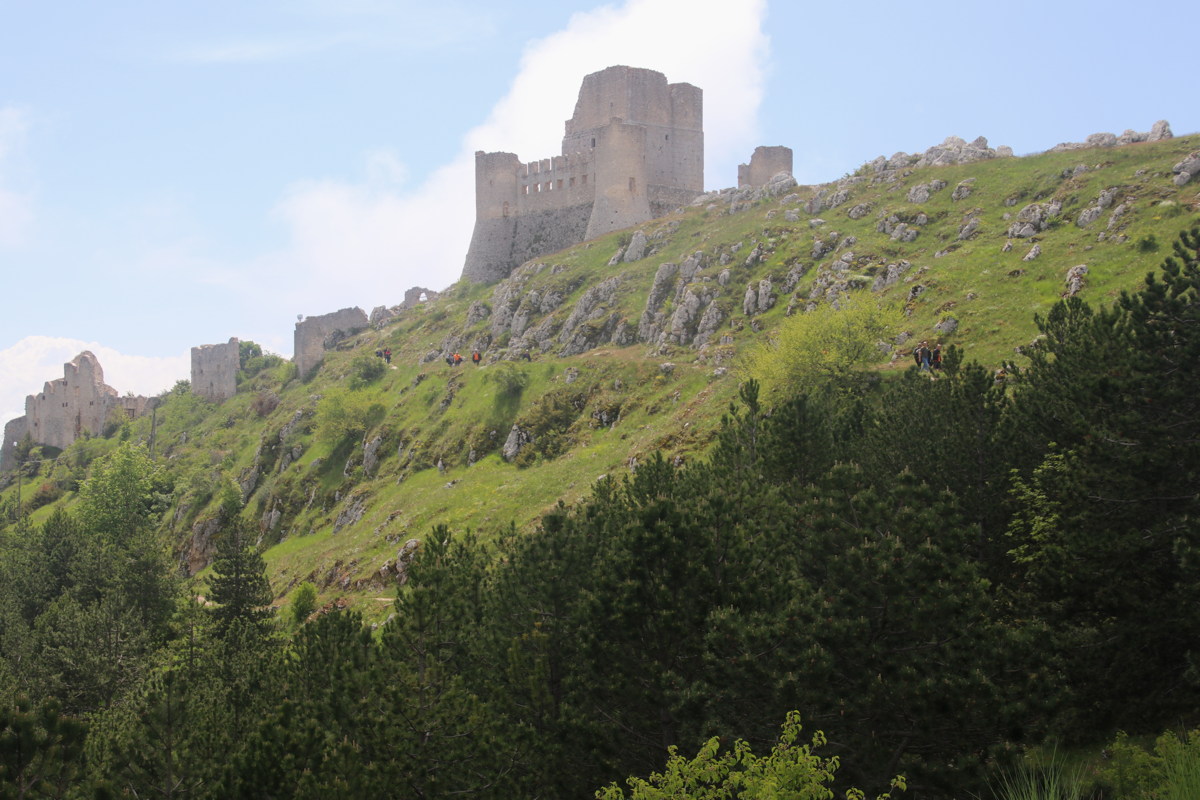
Santo Stefano to Calascio Castle — 1 Jun 2023
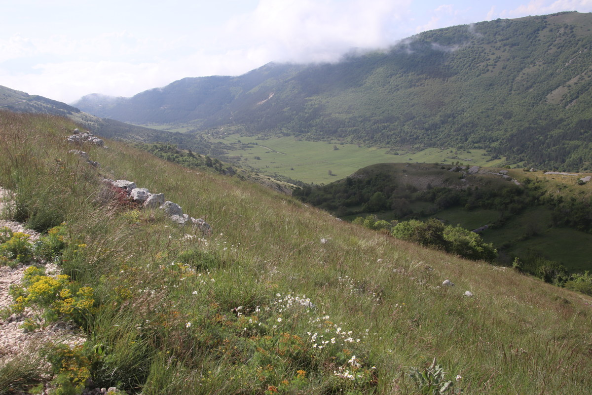
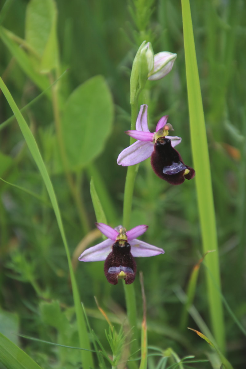
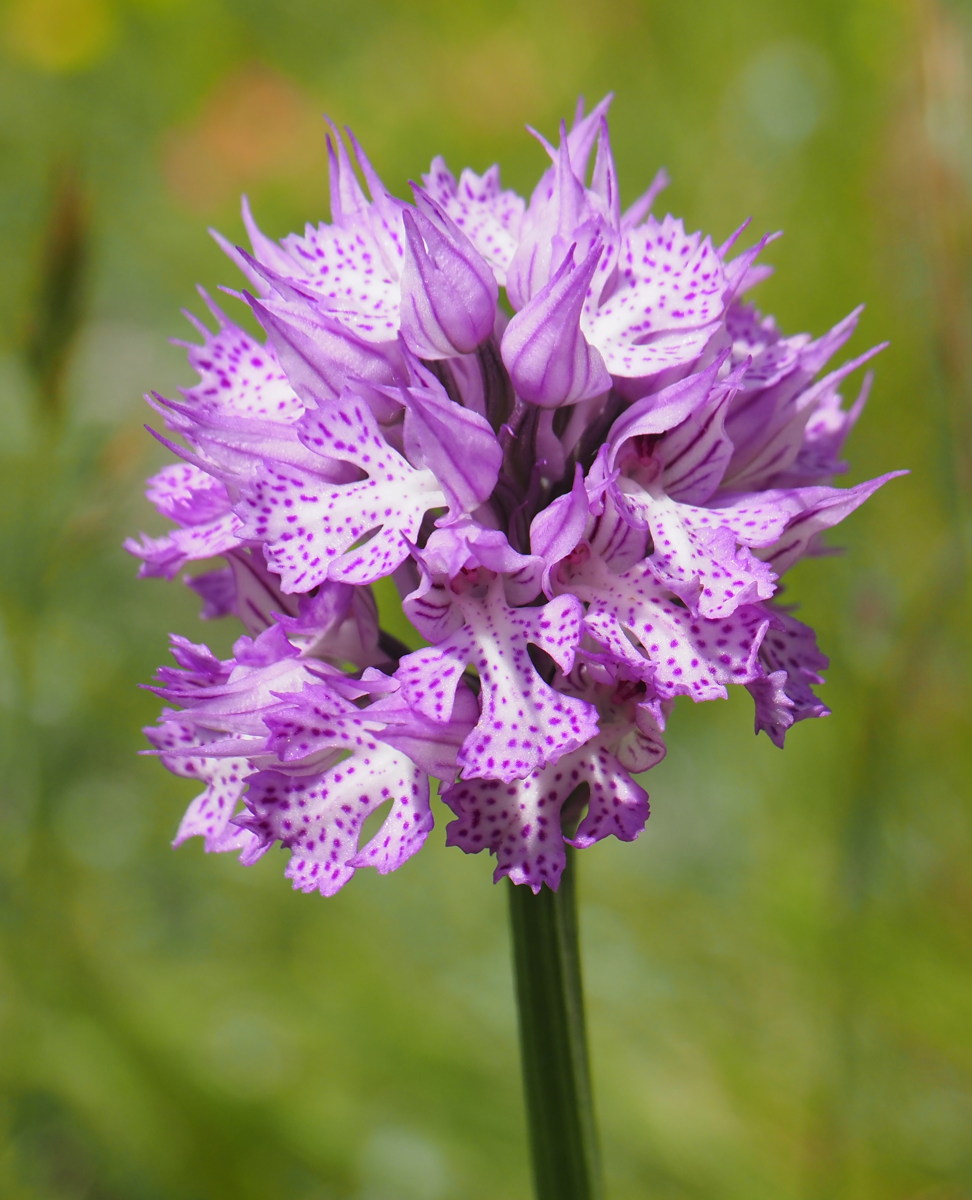
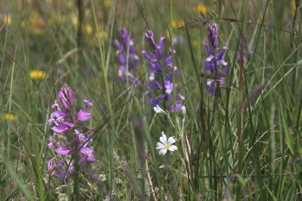
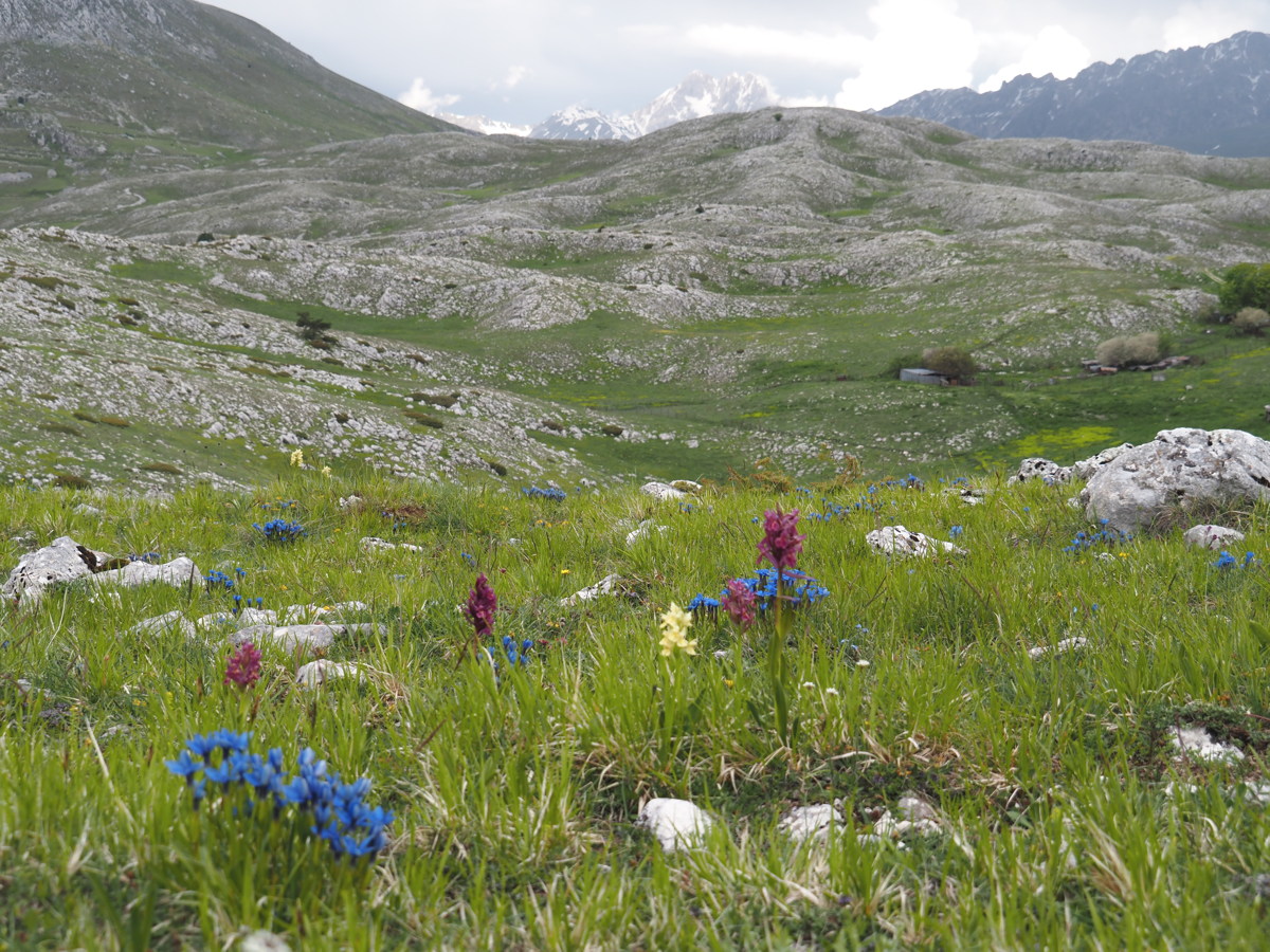
We did a local c.12km walk, +/-300m, along a ridge between our historical village of Santo Stefano di Sessanio, at 1250m, and the next village-and-castle. The village overlooks a valley to the south, beyond which is a range of c.2200m mountains. It also overlooks a valley to the north, which differs in that the mountains reach 2350m, except for Corno Grande 550m higher. The flowering was enormously rich, with about 40 species in bloom.
|
|
|
|
The village's surrounds,
to the SE ... |
... and to the NE |
Looking back westwards to
Santo Stefano di Sessanio |
Again, and again
with molto fiori |
|
|
|
|
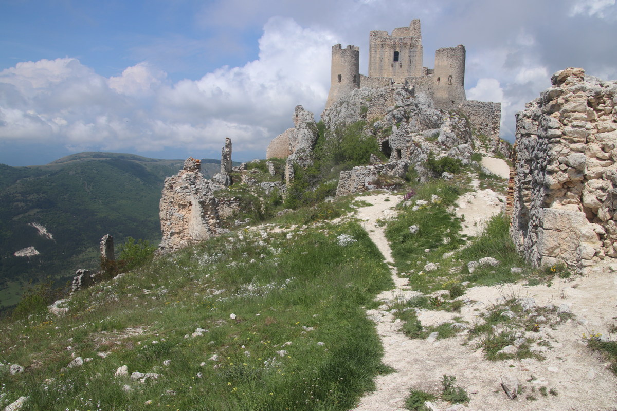
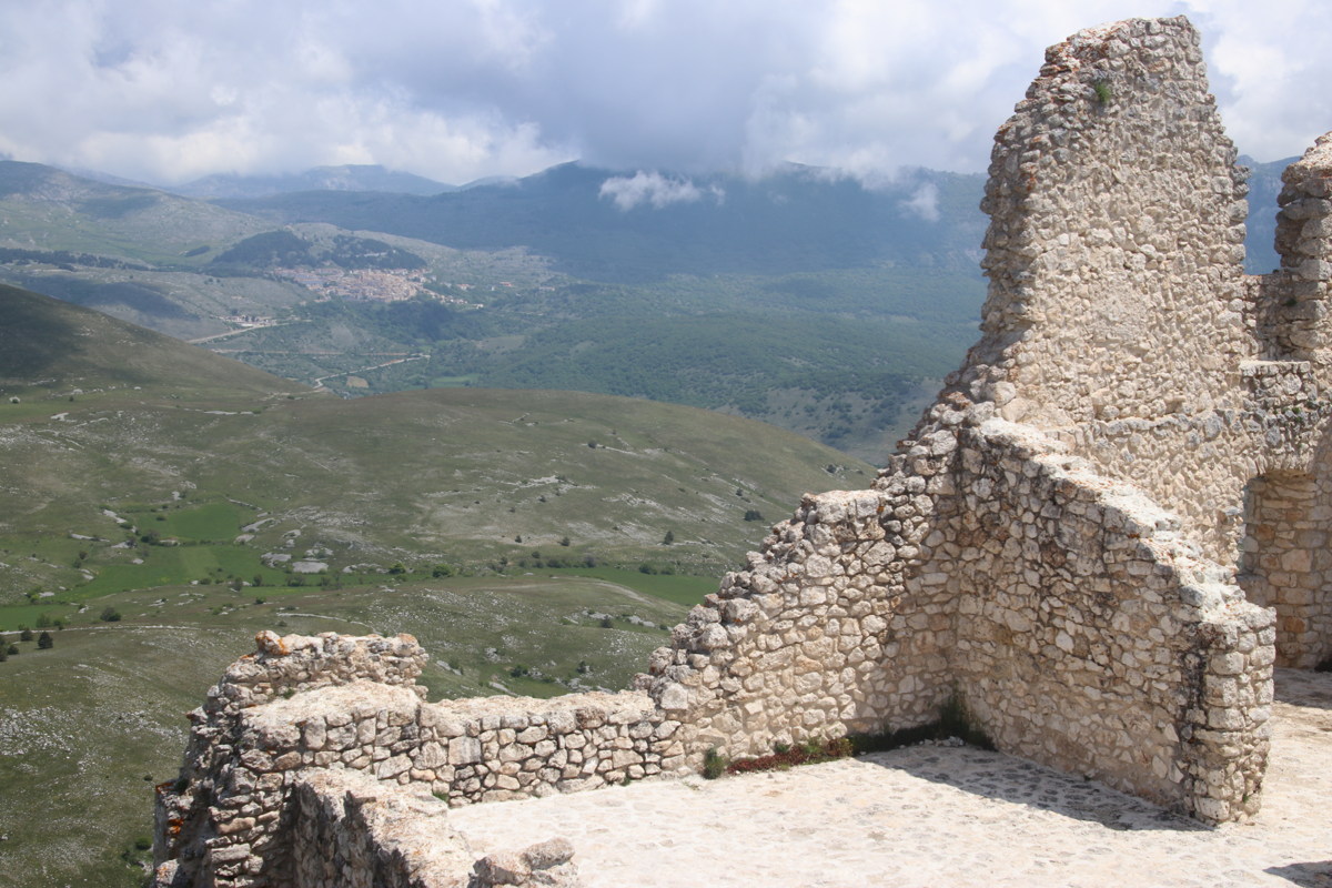
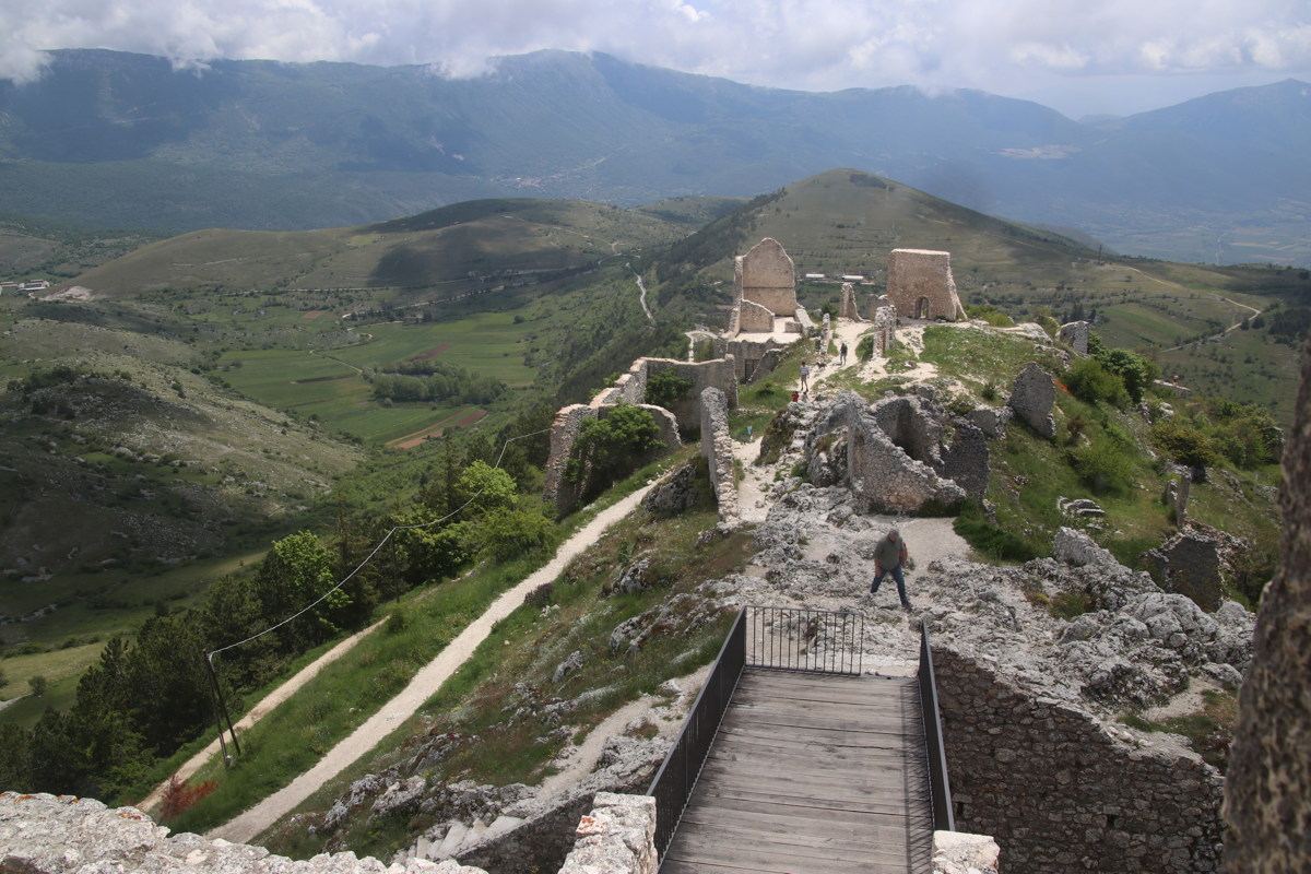
The Calascio Borgo,
from distance ... |
... from closer up, and ... |
... the commanding position ... |
... from the ruined battlements |
|
|
|
|
An orchid
(identification in progress) |
A Bee Orchid |
Another of the
7 orchid species |
Milkworts, in several shades |
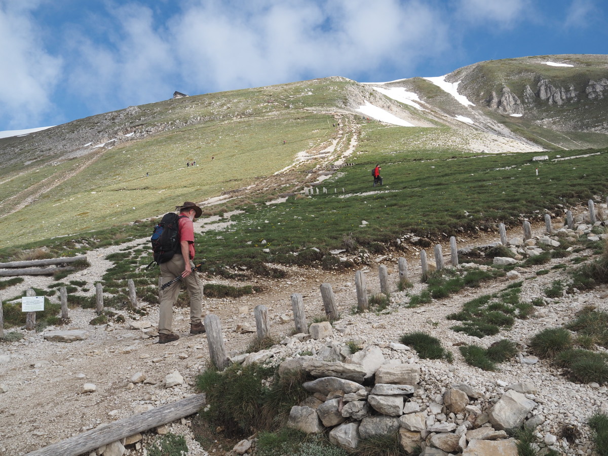
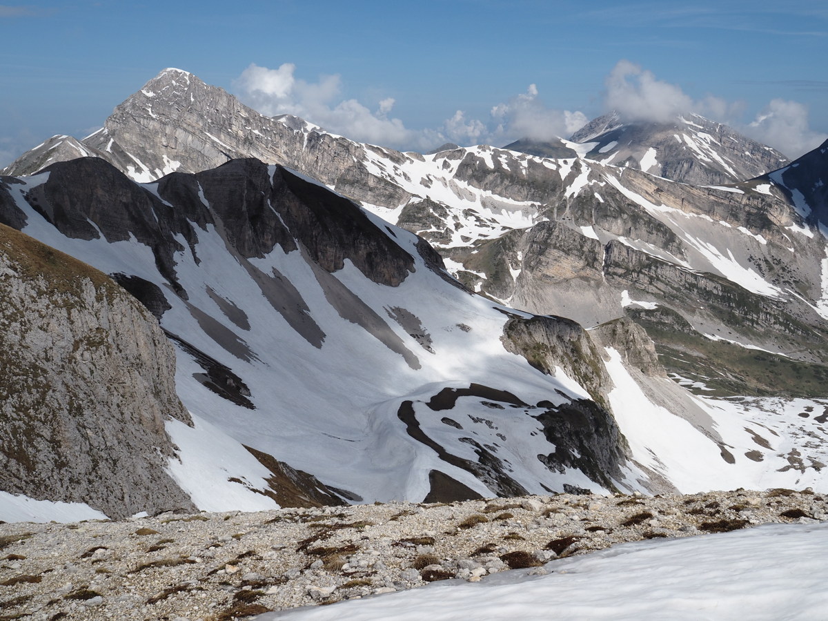
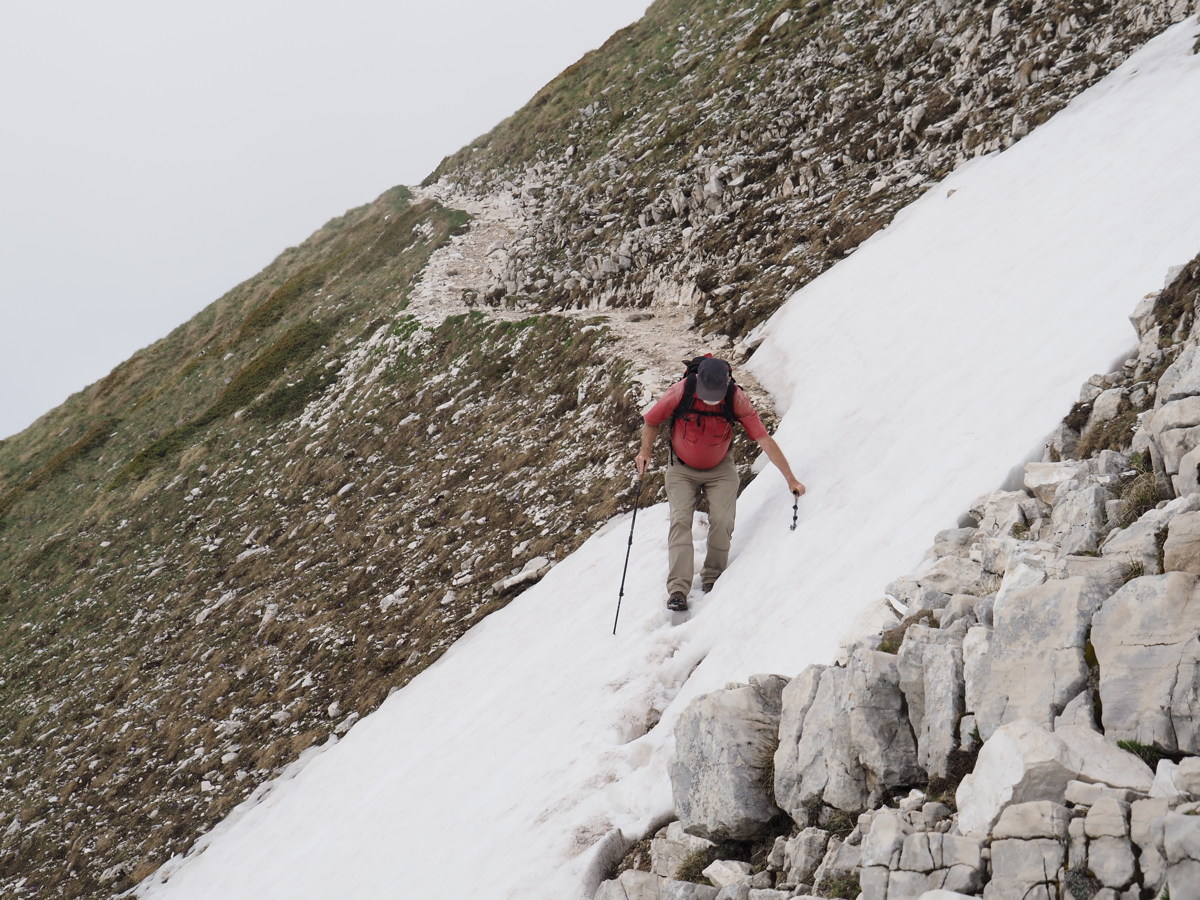
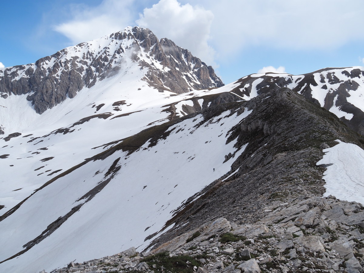
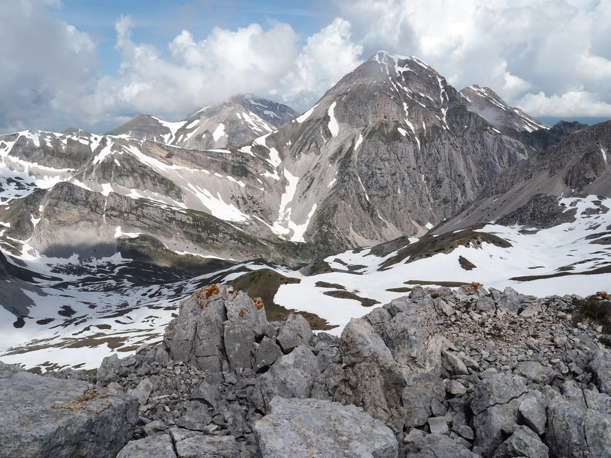
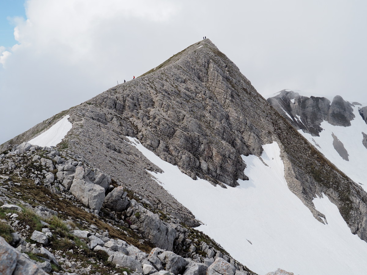
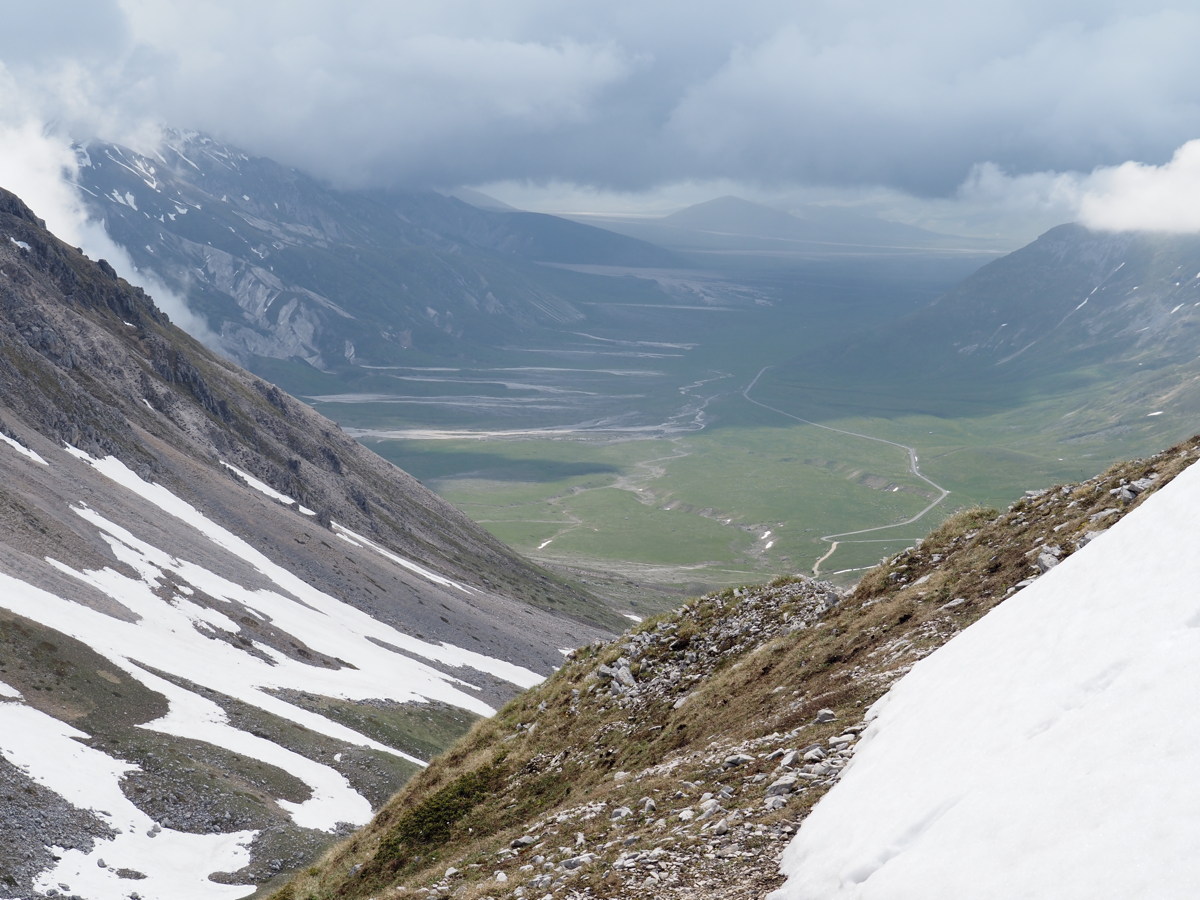
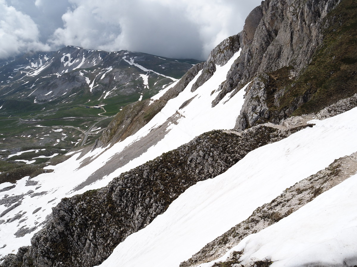
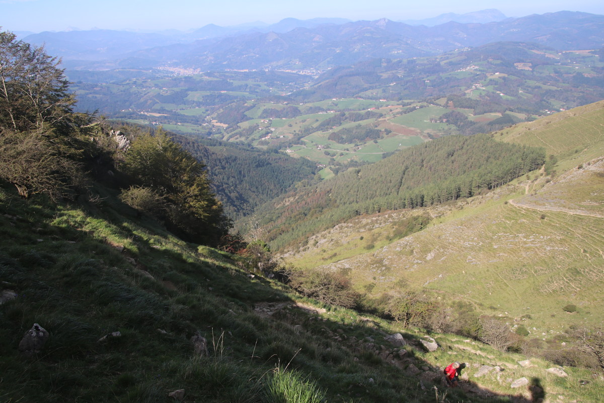
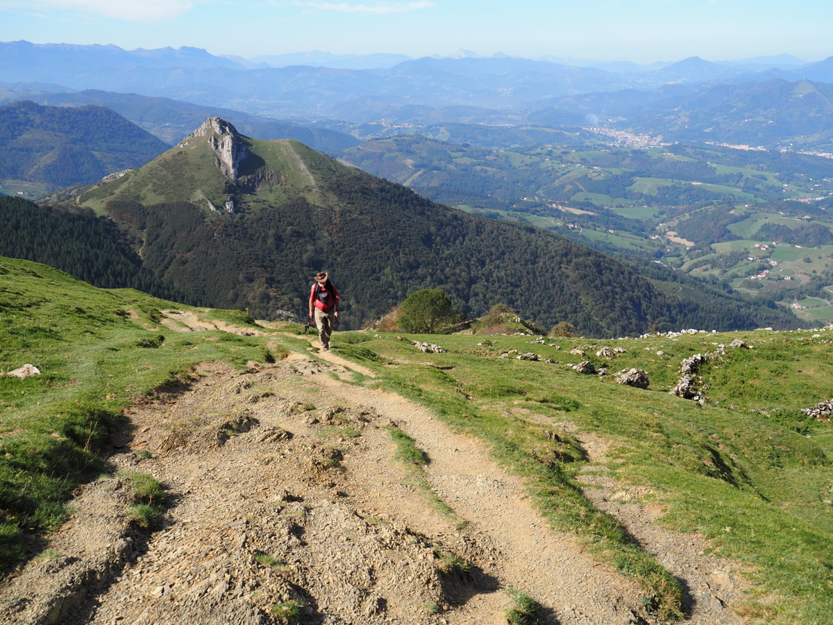
Corno Grande — 2-3 Jun 2023
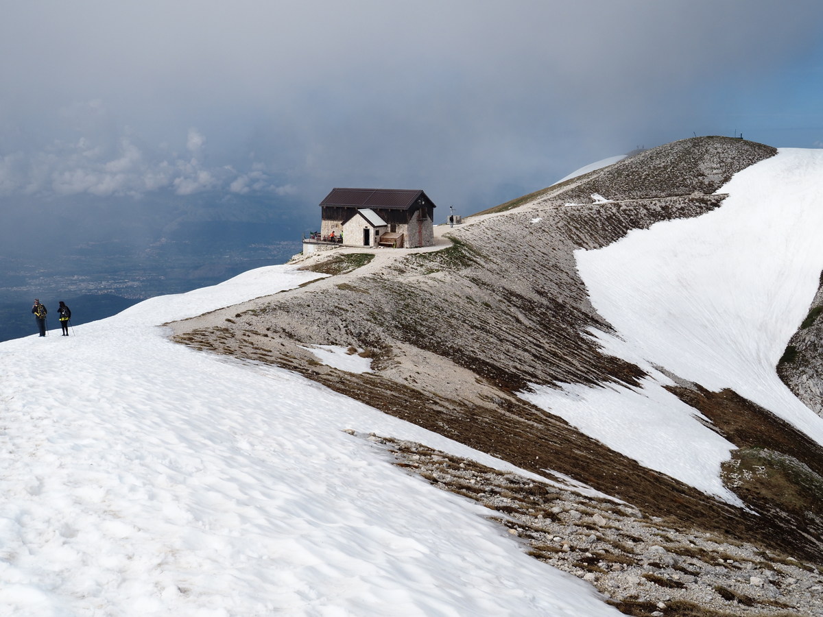
| A 1-in-7, 40-minute walk up to Rifugio Duca degli Abruzzi, in the Grand Sasso region, to get views of Corno Grande, 2950m, from a ridge at the 2400m level. We've cheated by calling it +/-650m and 10km. It was +/- 300m the first day, but the visibility closed down. We came back the next day, were walking by 08:30, were patient, and did the intended triangular circuit. |
|
|
|
|
|
The northern range,
East of the big peak |
Looking at Corno Grande,
before the clouds and storms |
CG showed itself later,
after we'd left |
Second attempt on 3 June |
|
|
|
|
At the Rifugio, at 2390m |
The view West from the ridge |
The easiest of
the snow-crossings |
Finally, a clear shot
of the 550m above us |
|
|
|
|
The view to the NW |
The ridgeline walk |
Storms building along
the Campo Imperatore |
The return walk,
sticks recommended |
France and Spain — 23 Sep to 18 Oct 2023
Unusually, we made a second trip to Europe in the same year. This one featured:
- 2 days from Paris via Chartres and Villandry Gardens to near St Malo
- 14 days in Brittany, incl. 5 cliff-walks and 1 shore-stroll, the best being:
- 6 days, via Bordeaux, then 2 good walks in Spanish Basqueland, the star one:
- 4 days in French Basqueland, Iraty and the Ossau, incl. 1 great walk:
- 3 days up the centre, returning to CDG
Bretagne — 23 Sep to 2 Oct 2023
Based successively in Brittany's NE, North and SW, we did 6 fairly short coastal walks:
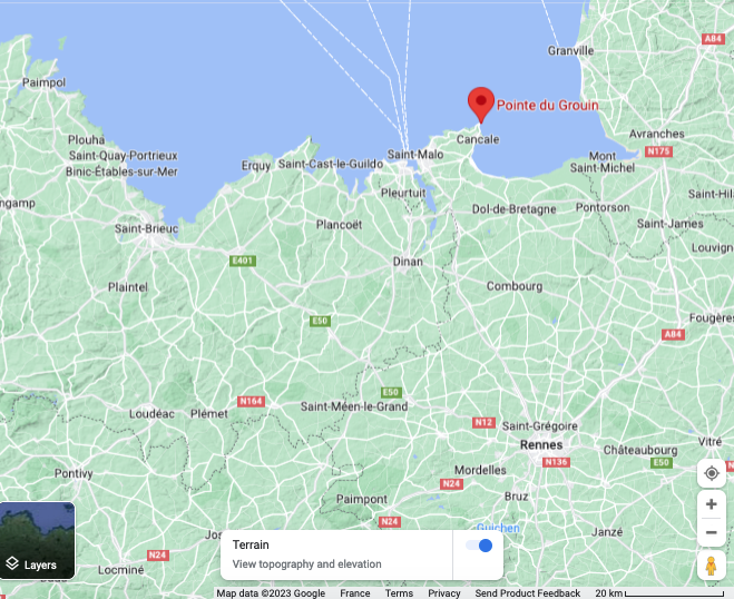
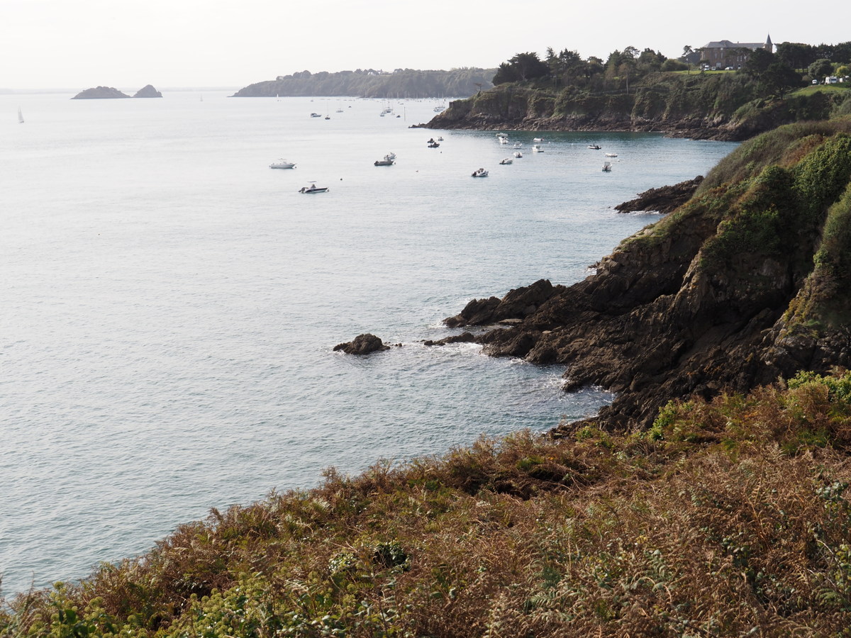
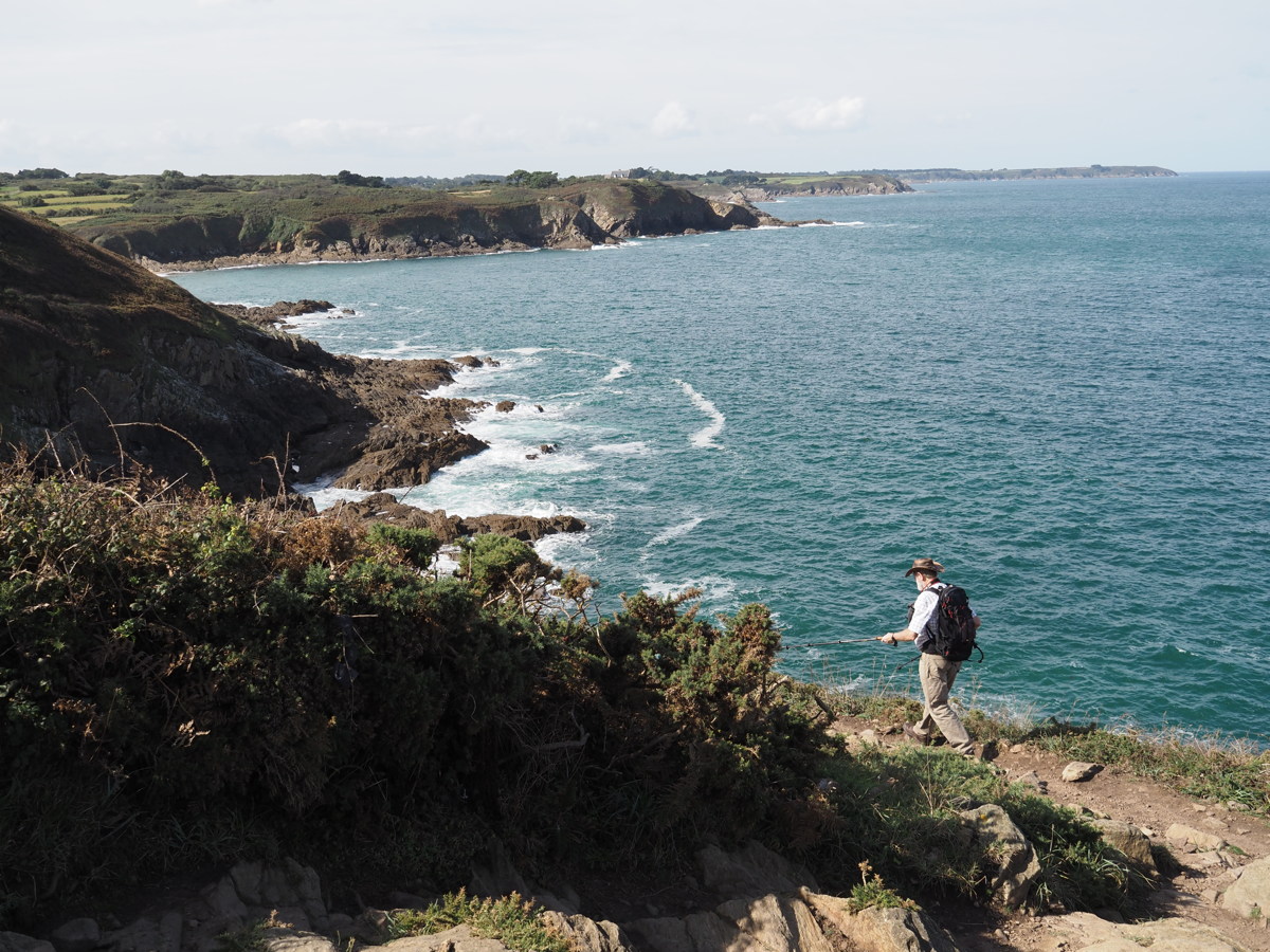
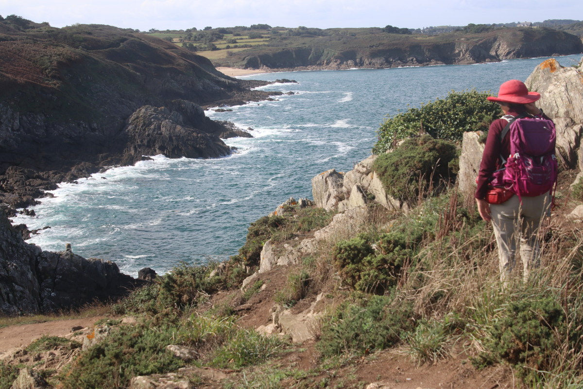
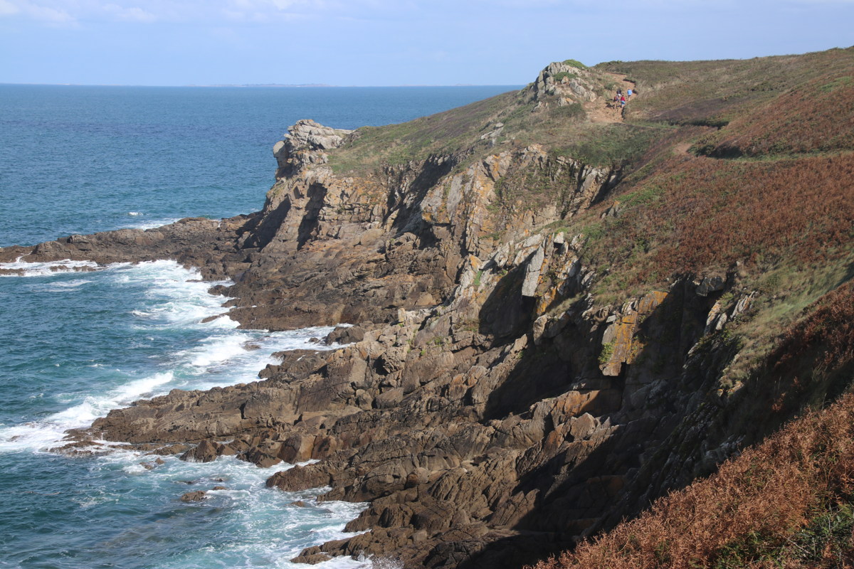
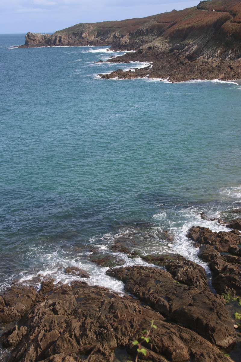
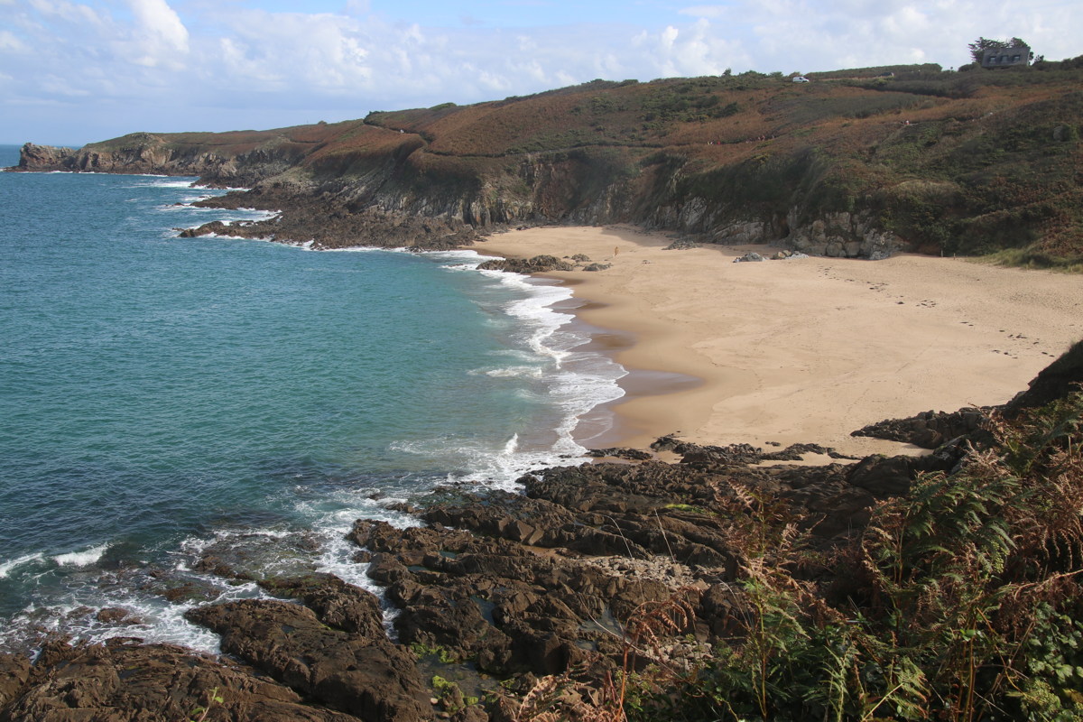
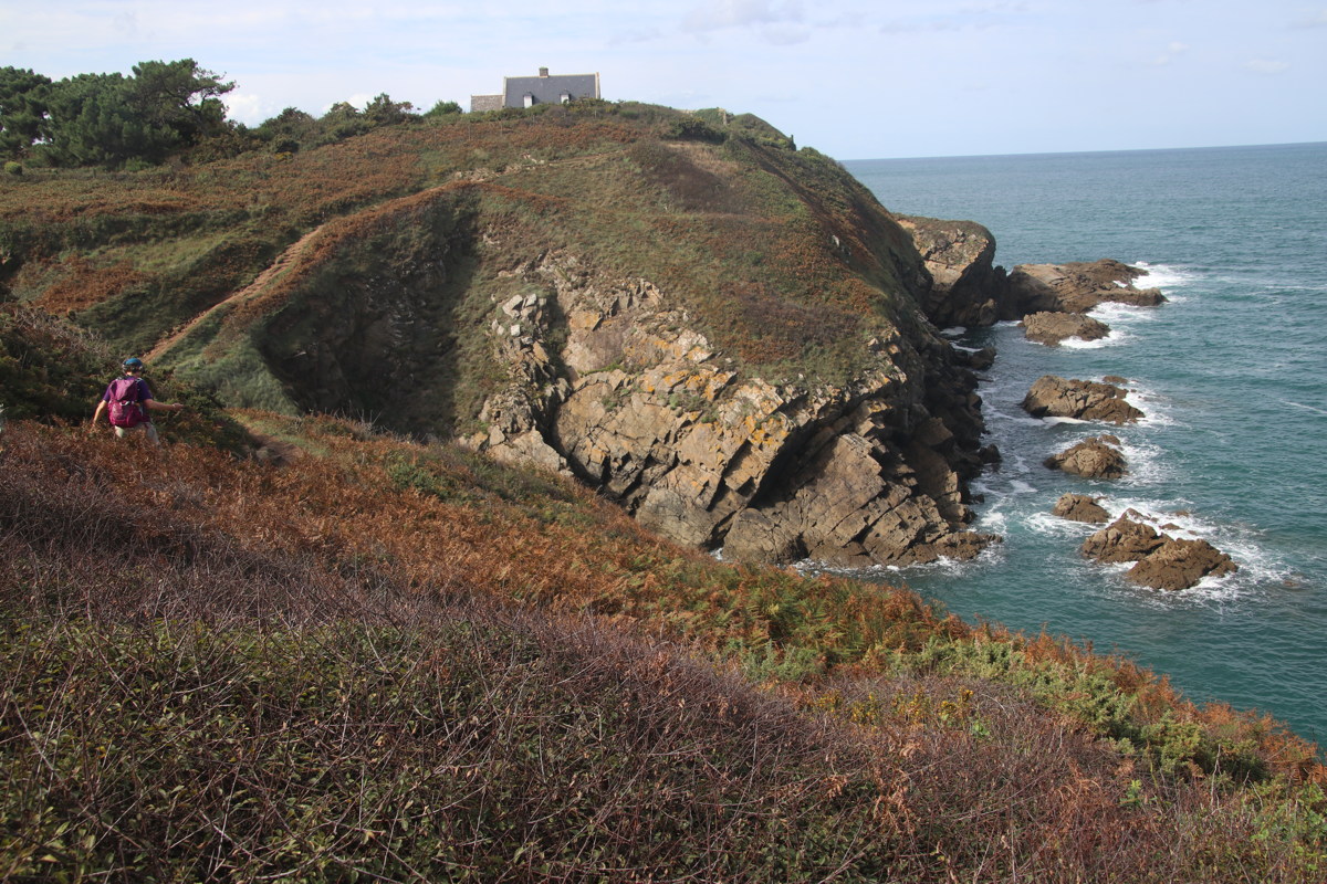
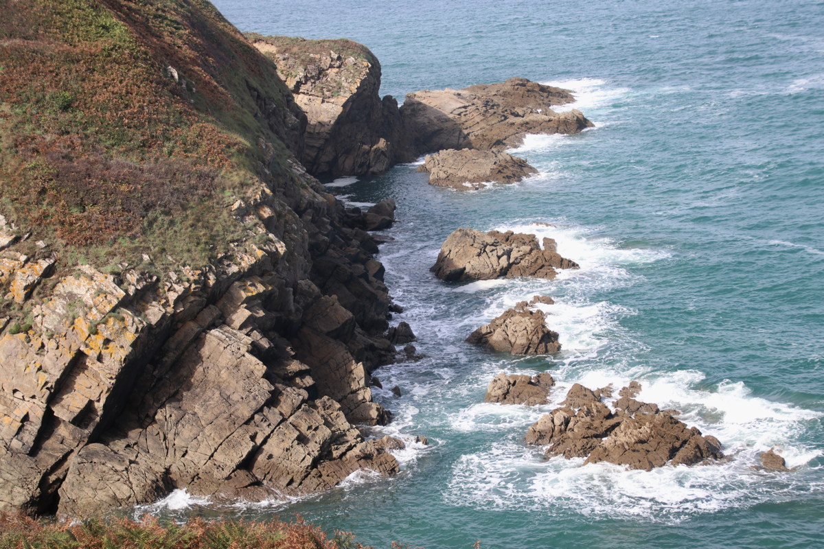
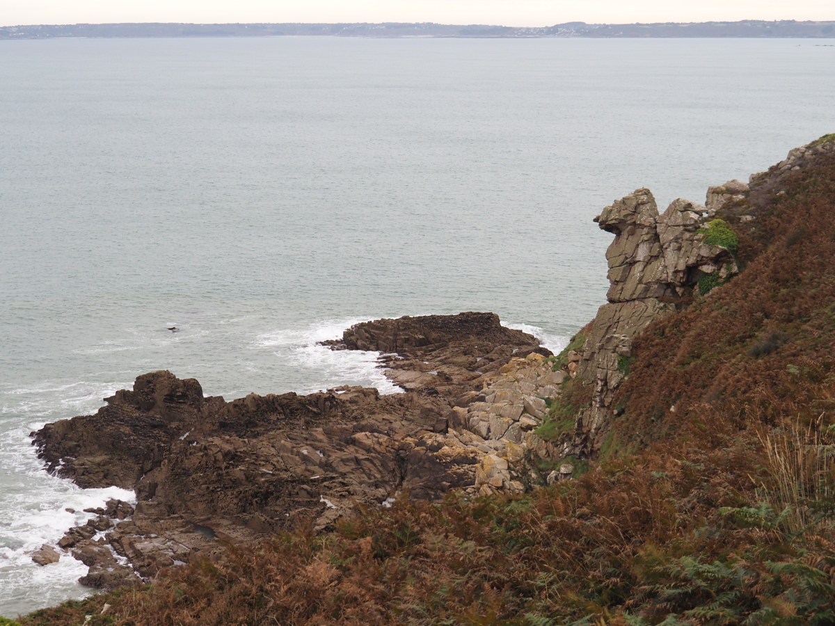
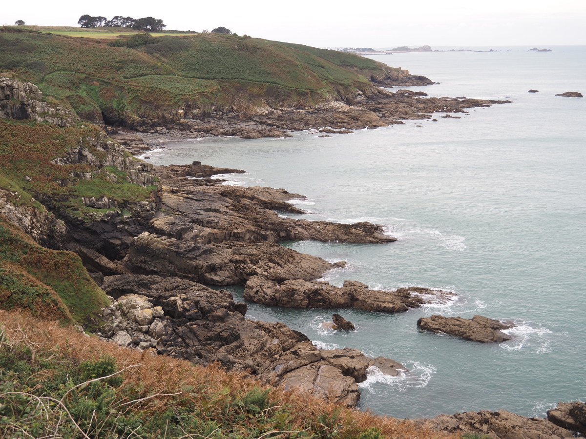
Pointe de Grouin — 23 Sep 2023
| This cape is north of Cancale, and 30km west of Mont St Michel. We had a quick look across the bay on the eastern side, then walked a few km westwards. |
|
|
|
|
|
East side of the point, southwds |
North side looking west |
Further along westwards |
Cliffs |
|
|
|
|
Cliffs |
Cliffs, with Beach |
Cliffs |
Cliffs |
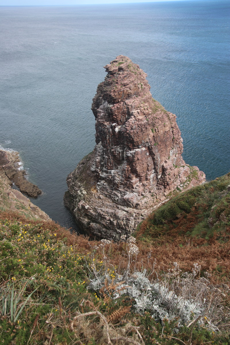
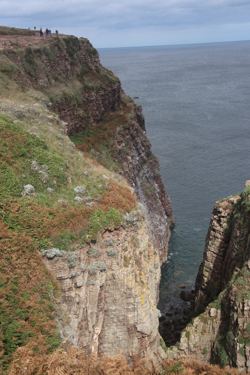
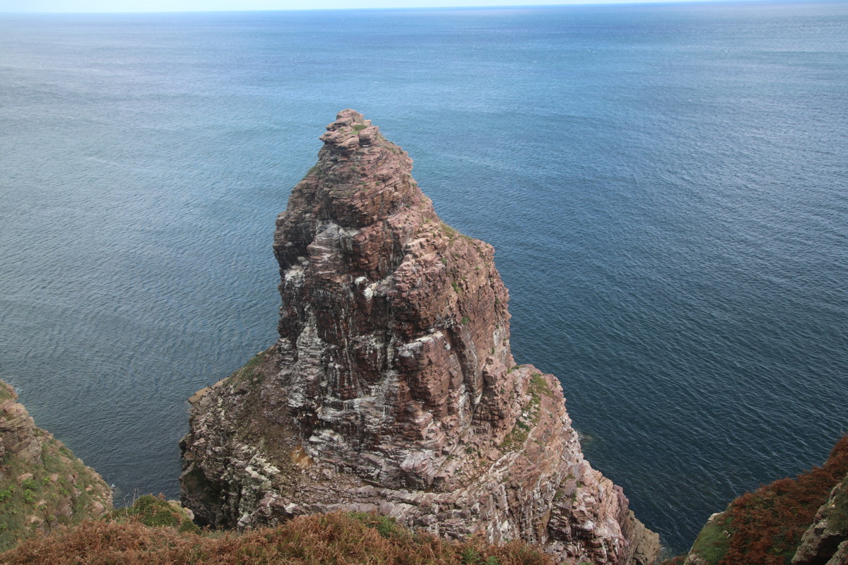
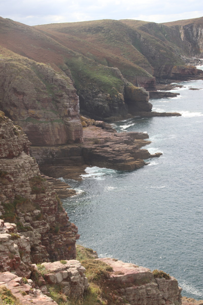
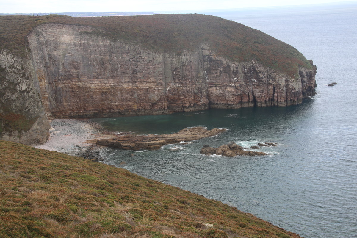
Cap Frehel — 24 Sep 2023
| This cape is 40km west of the previous walk. We checked out the eastern view, then walked a few km to the west. |
|
|
|
|
|
Cliffs |
Cliffs |
Cliffs |
Looking back East to Fort Lotta |
|
|
|
Cliffs |
Cap Frehel, seen
from the SE |
Cliffs |
|
|
|
Cliffs |
Cap Frehel, seen
from the SW |
TEXT |
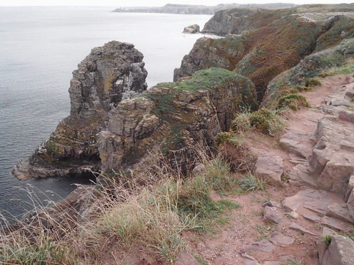
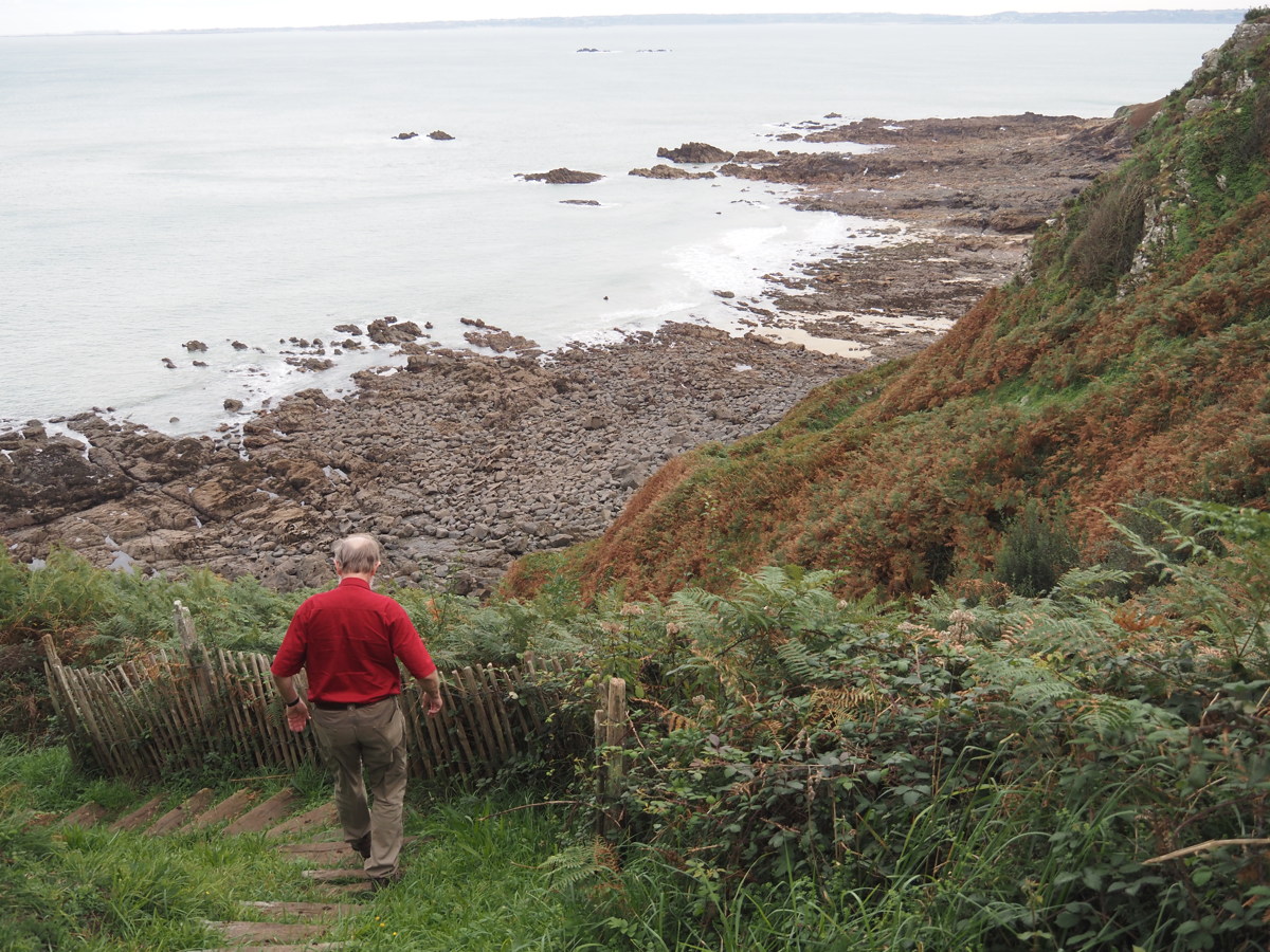
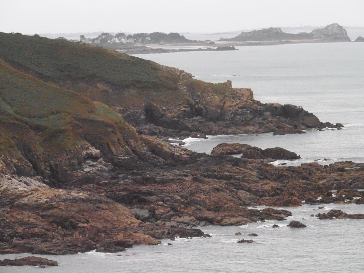
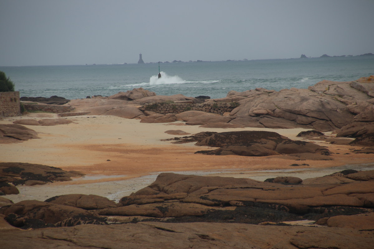
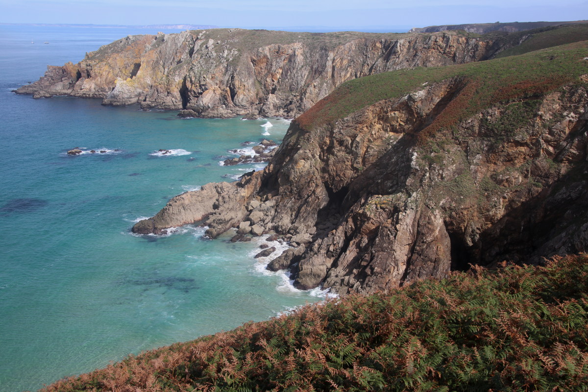
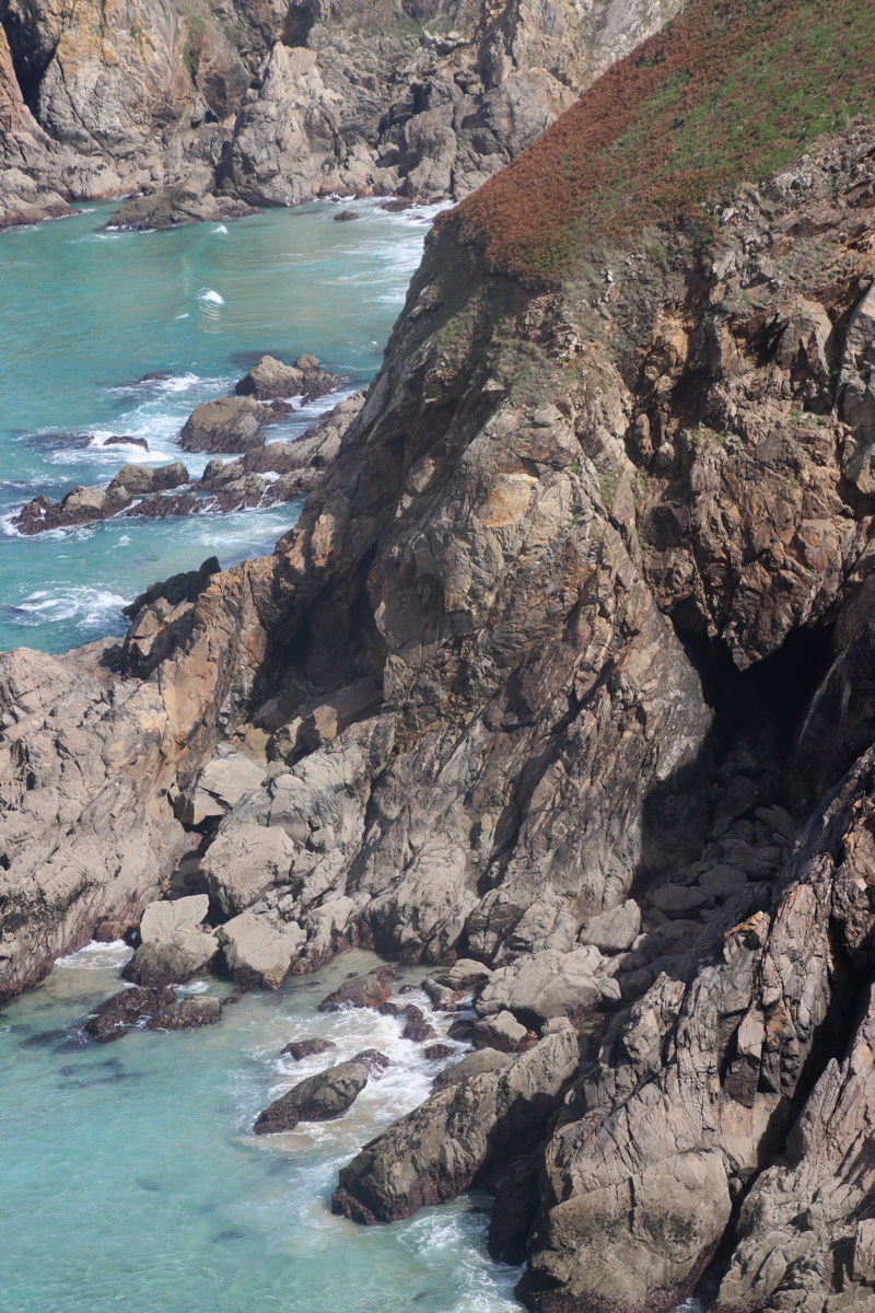
The Tregor Cliffs — 27 Sep 2023
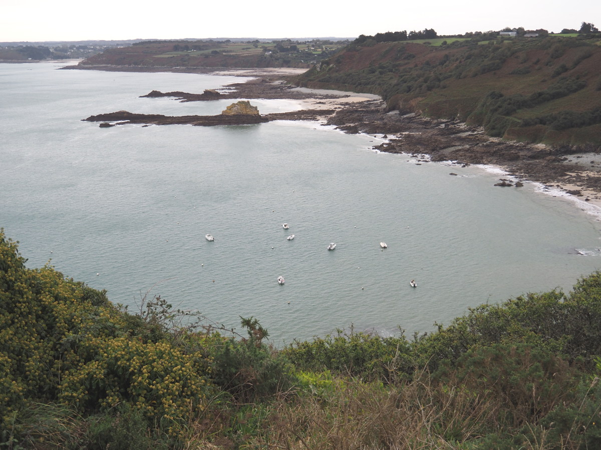
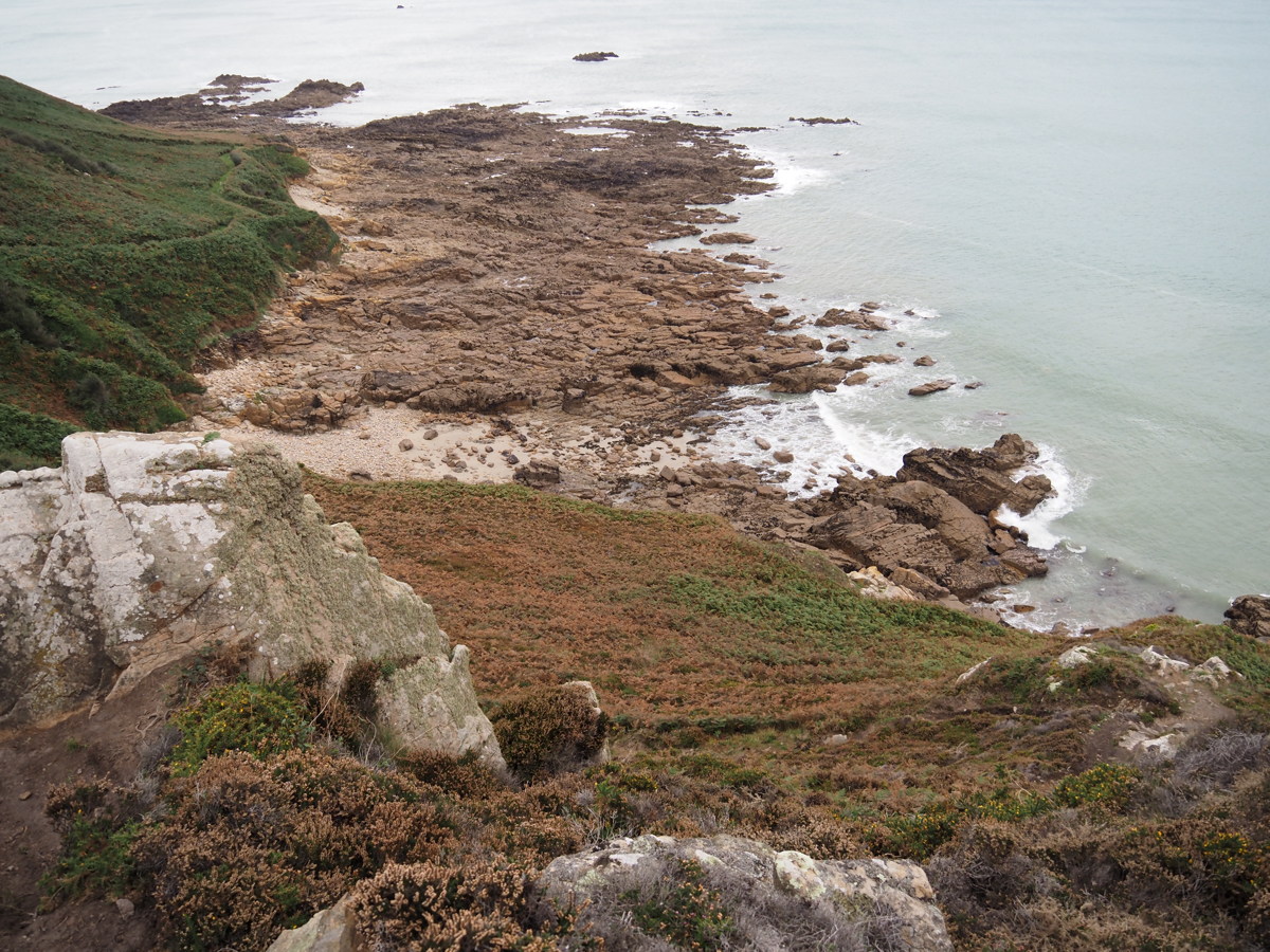
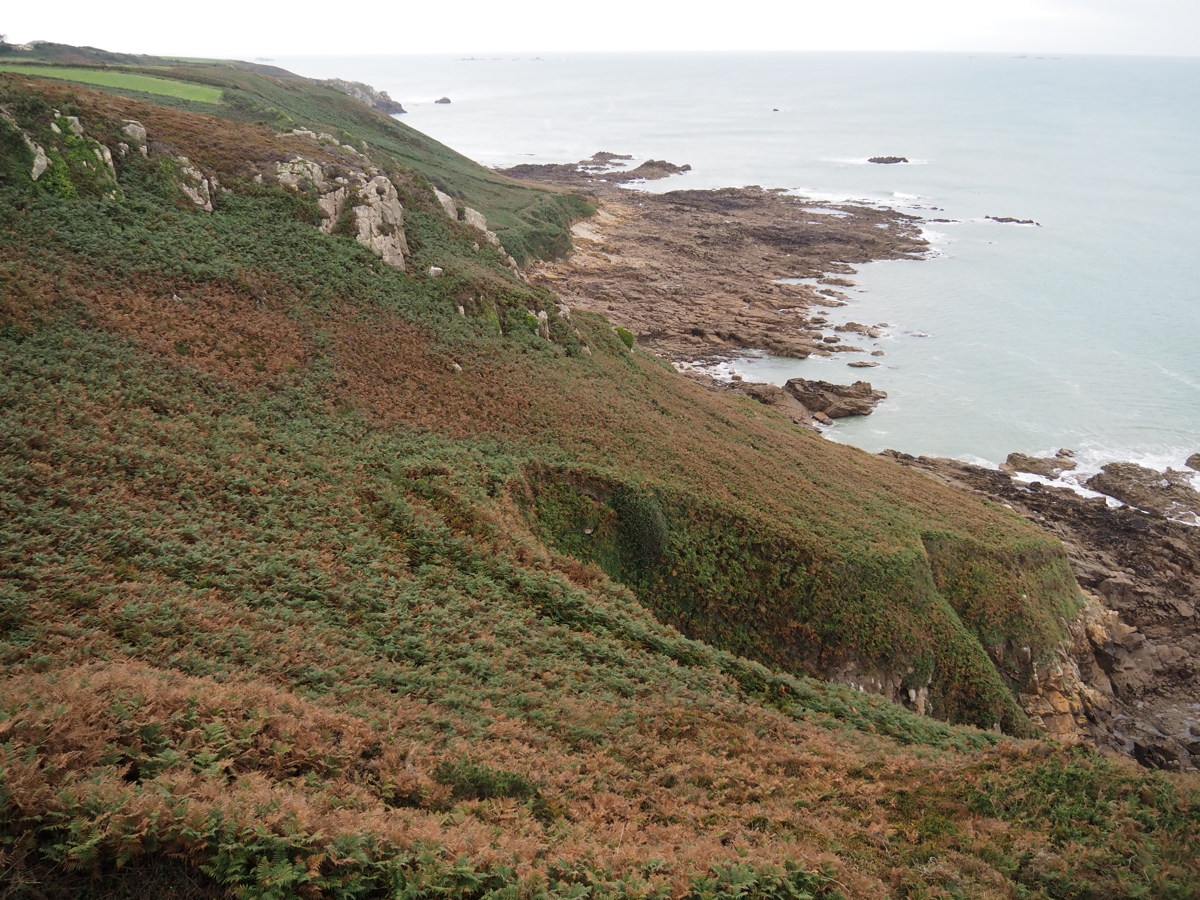
| 100km west of the Cap Frehel walk, we did the middle section of a recommended 20km cliff-walk from Locquirec to Plougasnod. It's just north of our B&B at Guimaec, and we started at Beg an Fry and walked 500m eastwards, then 4.5km westwards, then 3km west on country lanes back to the car. After that, we drove on to the next peninsula. The light was dull, but the walk still colourful. |
|
|
|
|
|
Looking East from Beg an Fry |
Rock shelf ... |
...with meadows behind |
Natural sculpture |
|
|
|
|
No poles needed for this bit |
Lichen lights up the day |
Headlands |
The last bay |
|
|
|
|
Look-ahead to
Tregastel Peninsula |
On that headland |
The rock-colours ... |
... a foretaste of the next day |
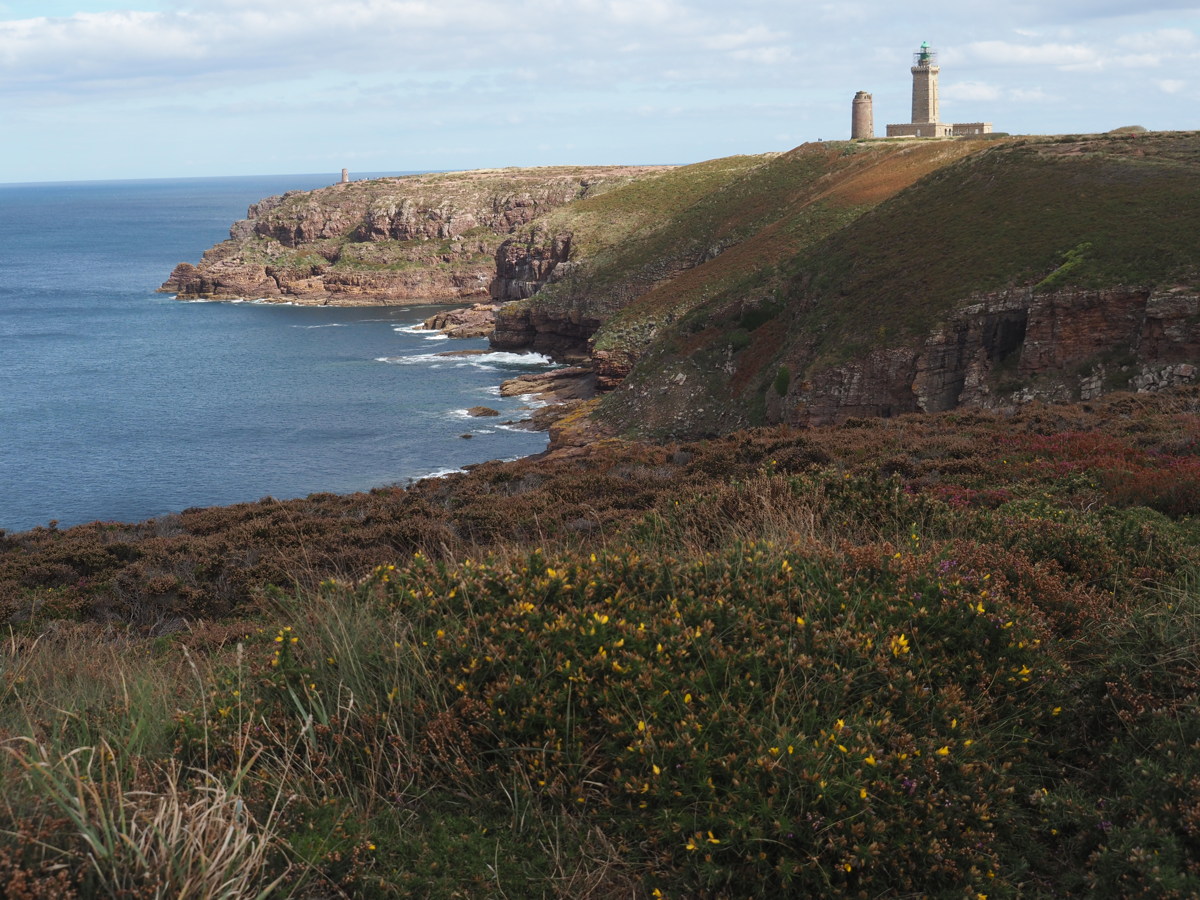
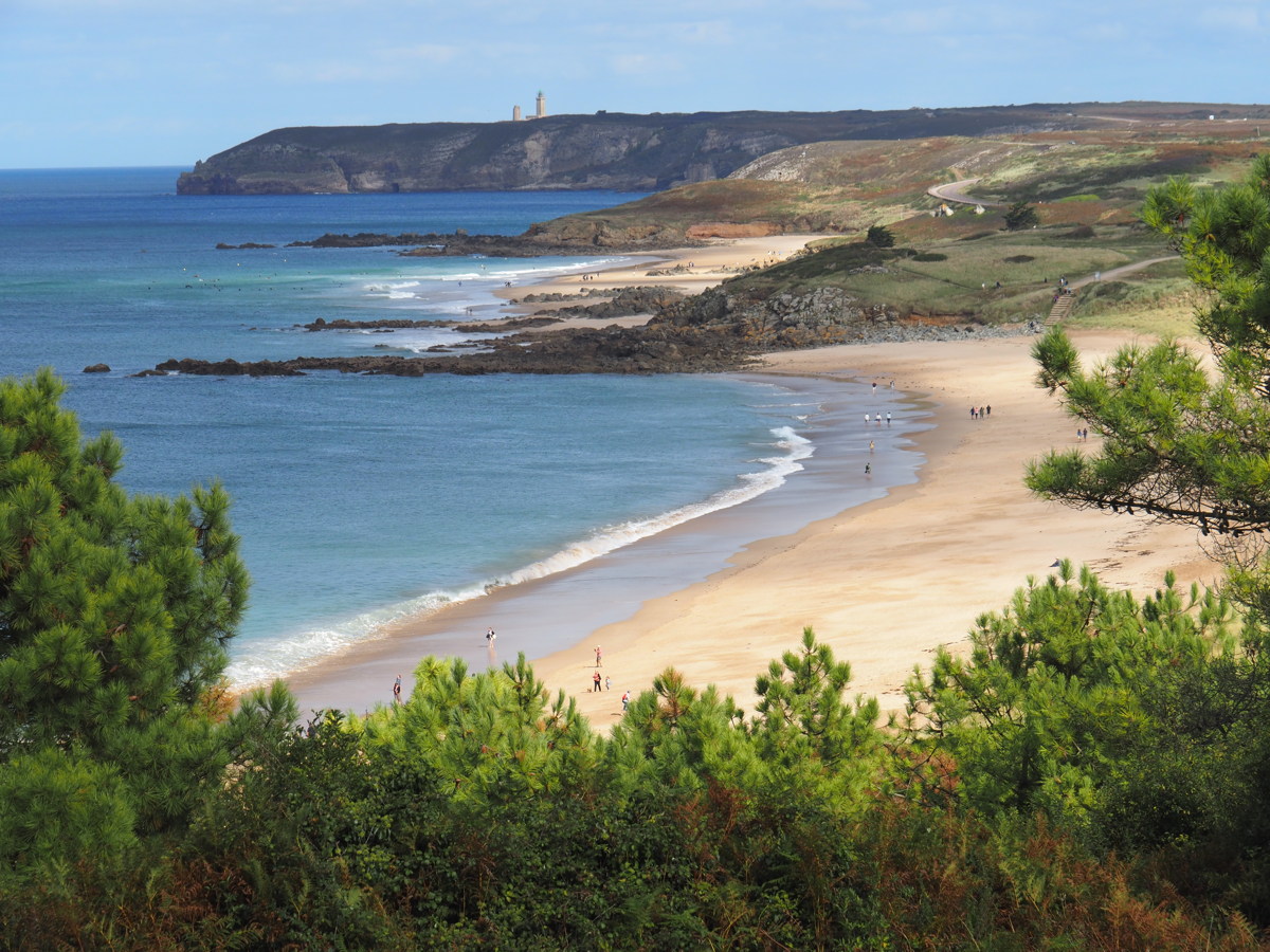
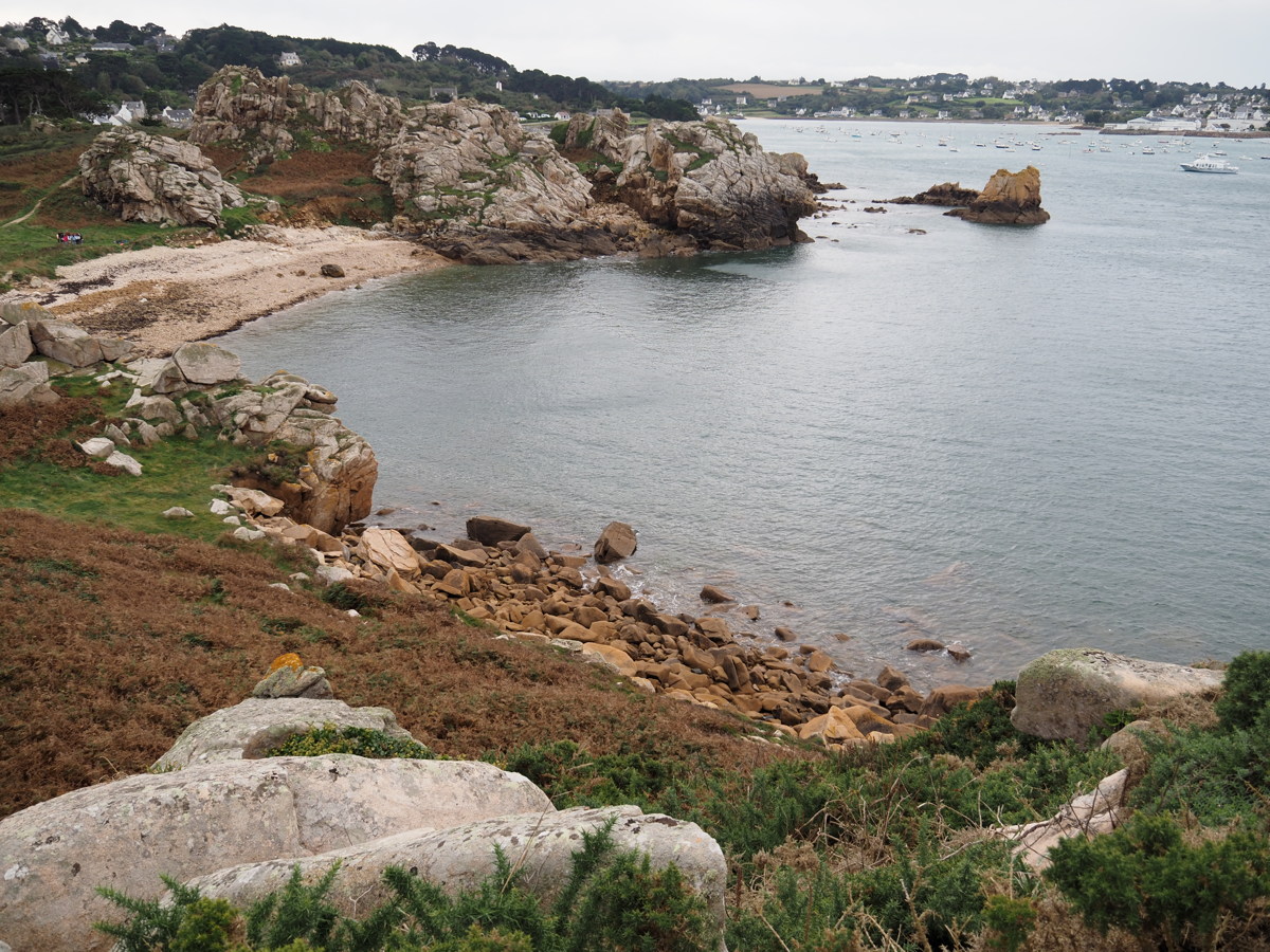
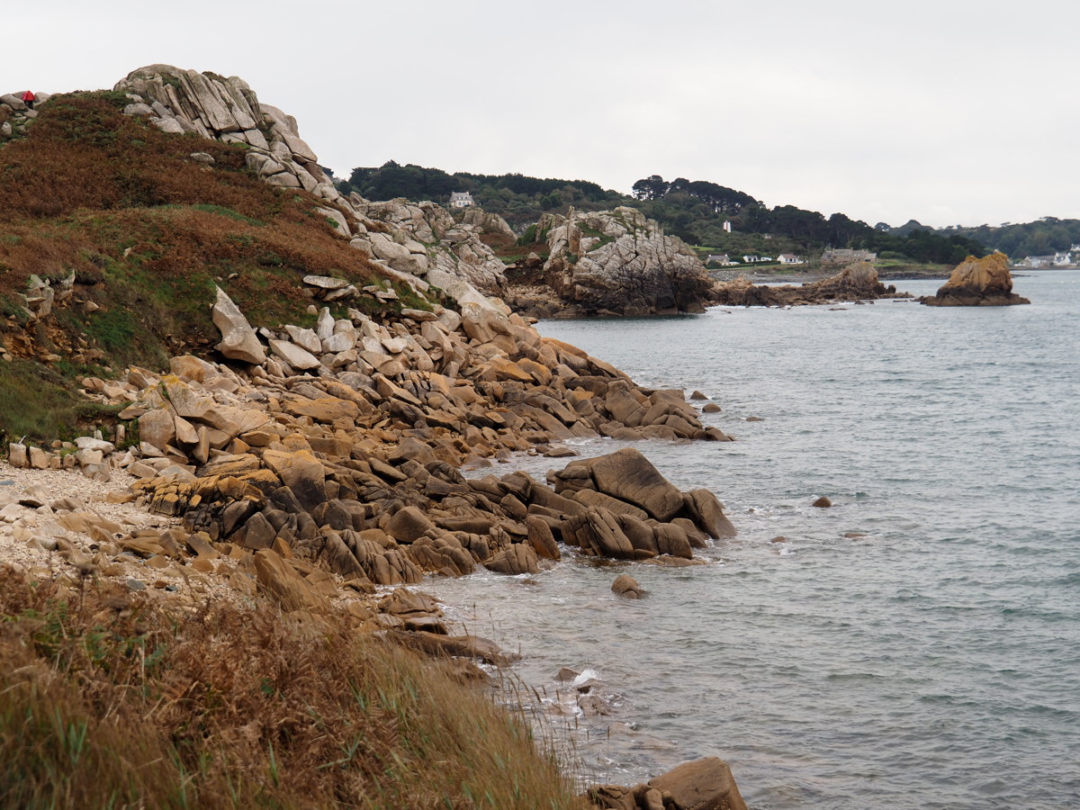
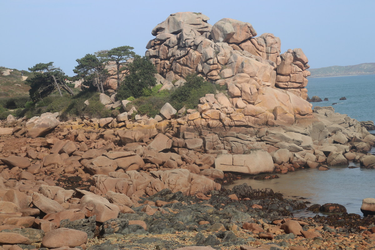
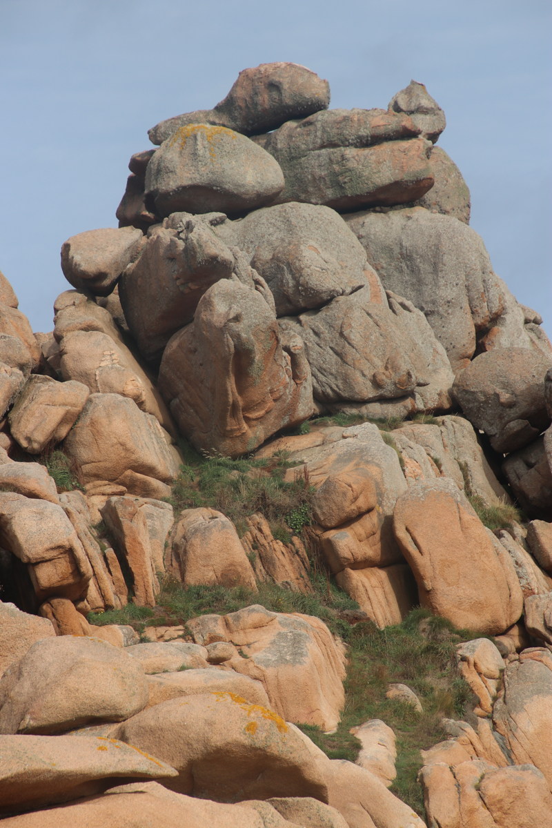
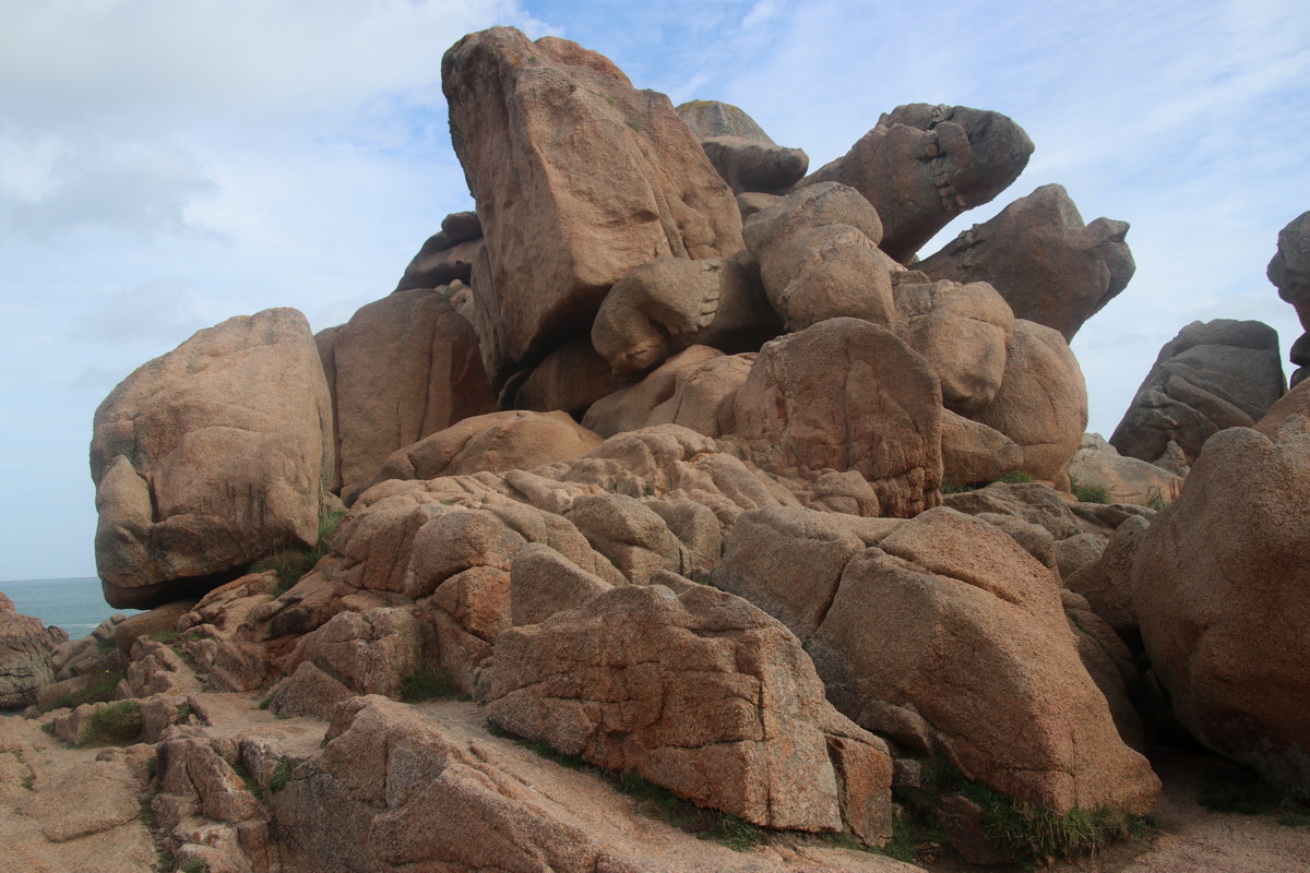
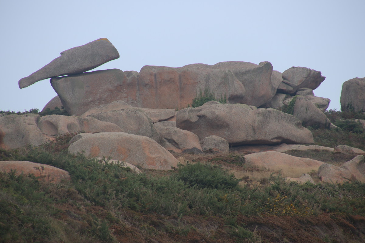
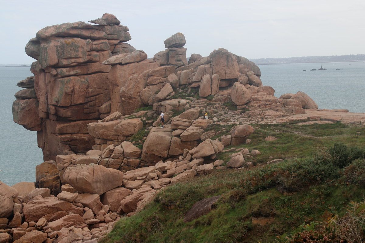
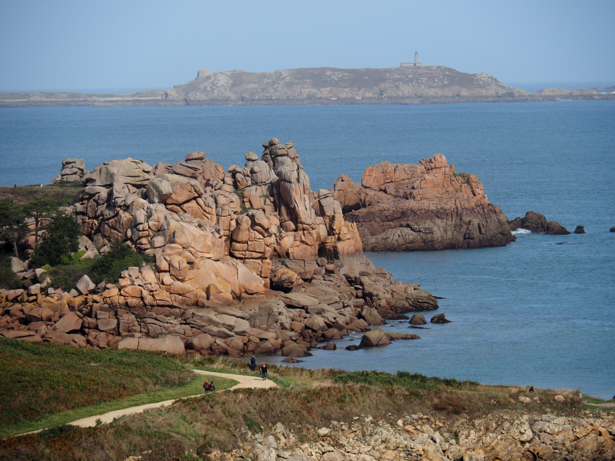
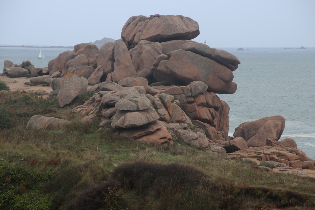
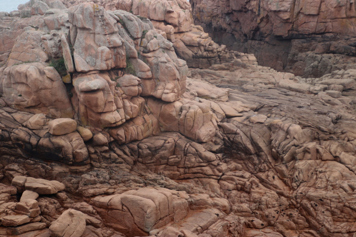
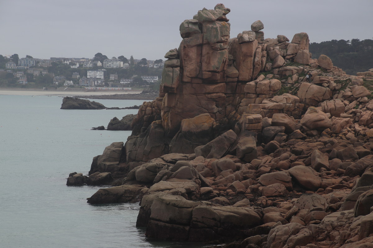
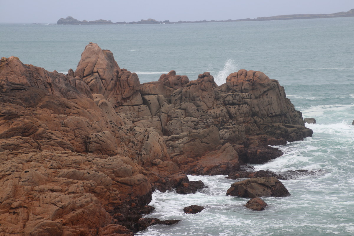
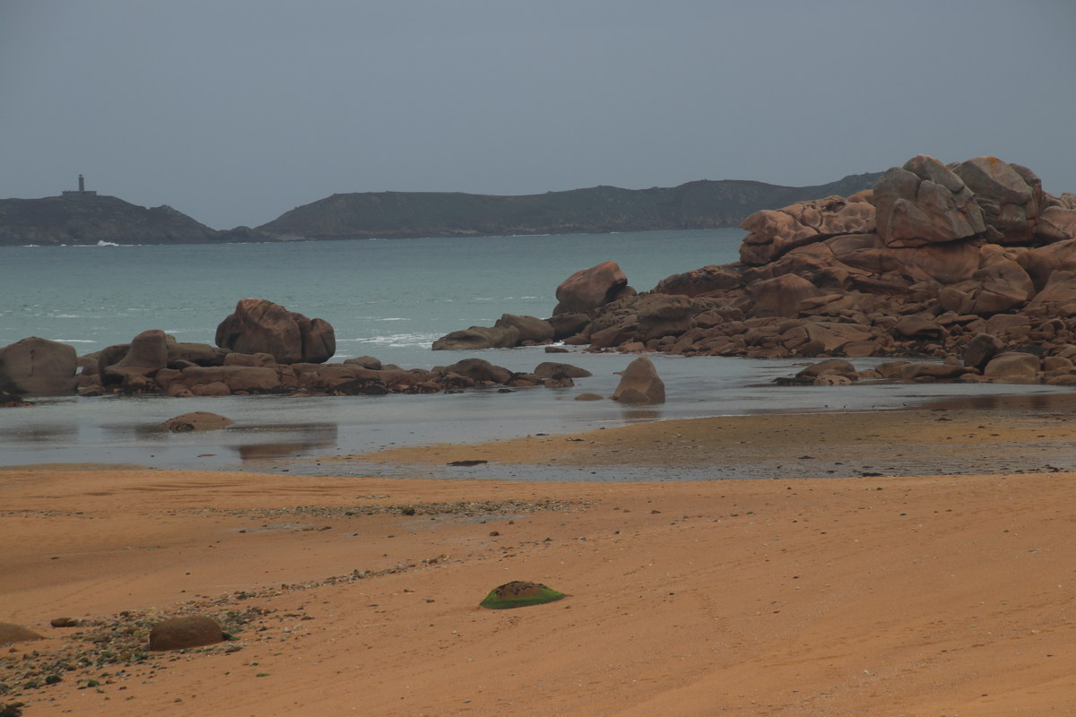
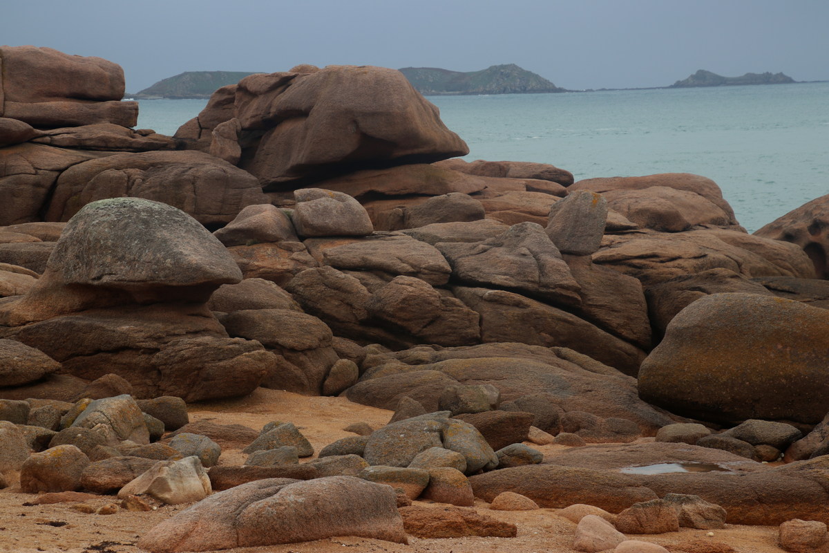
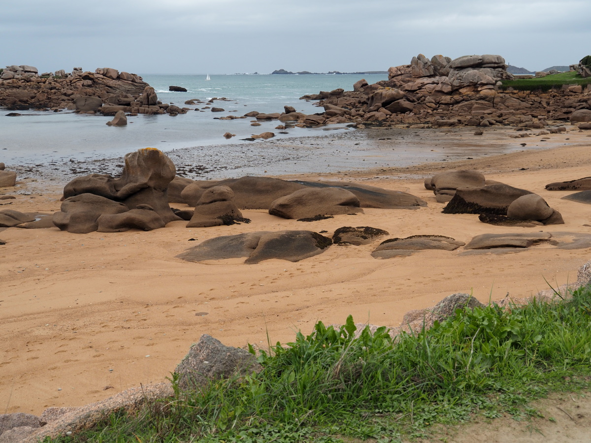
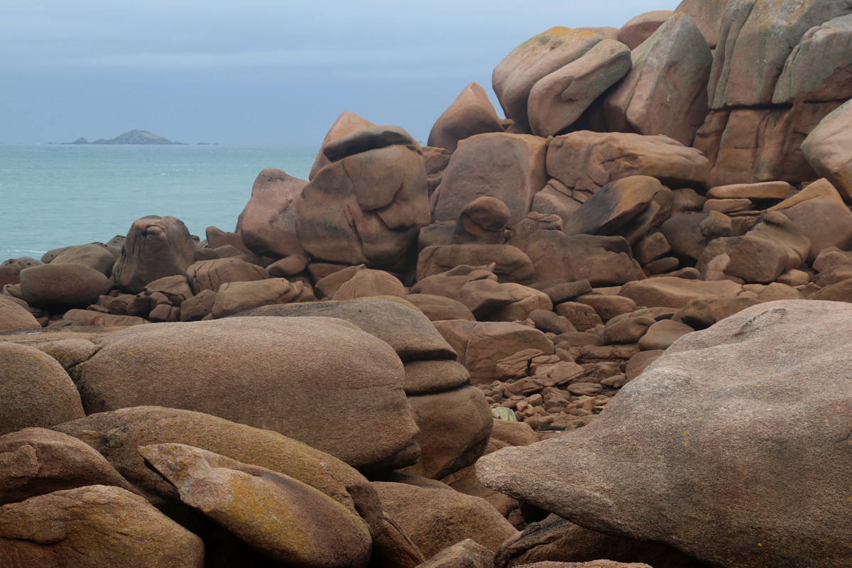
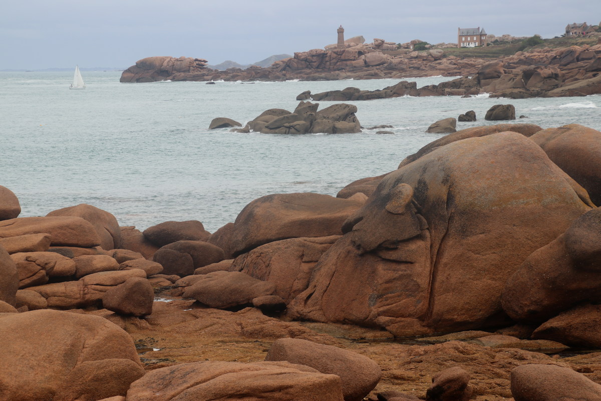
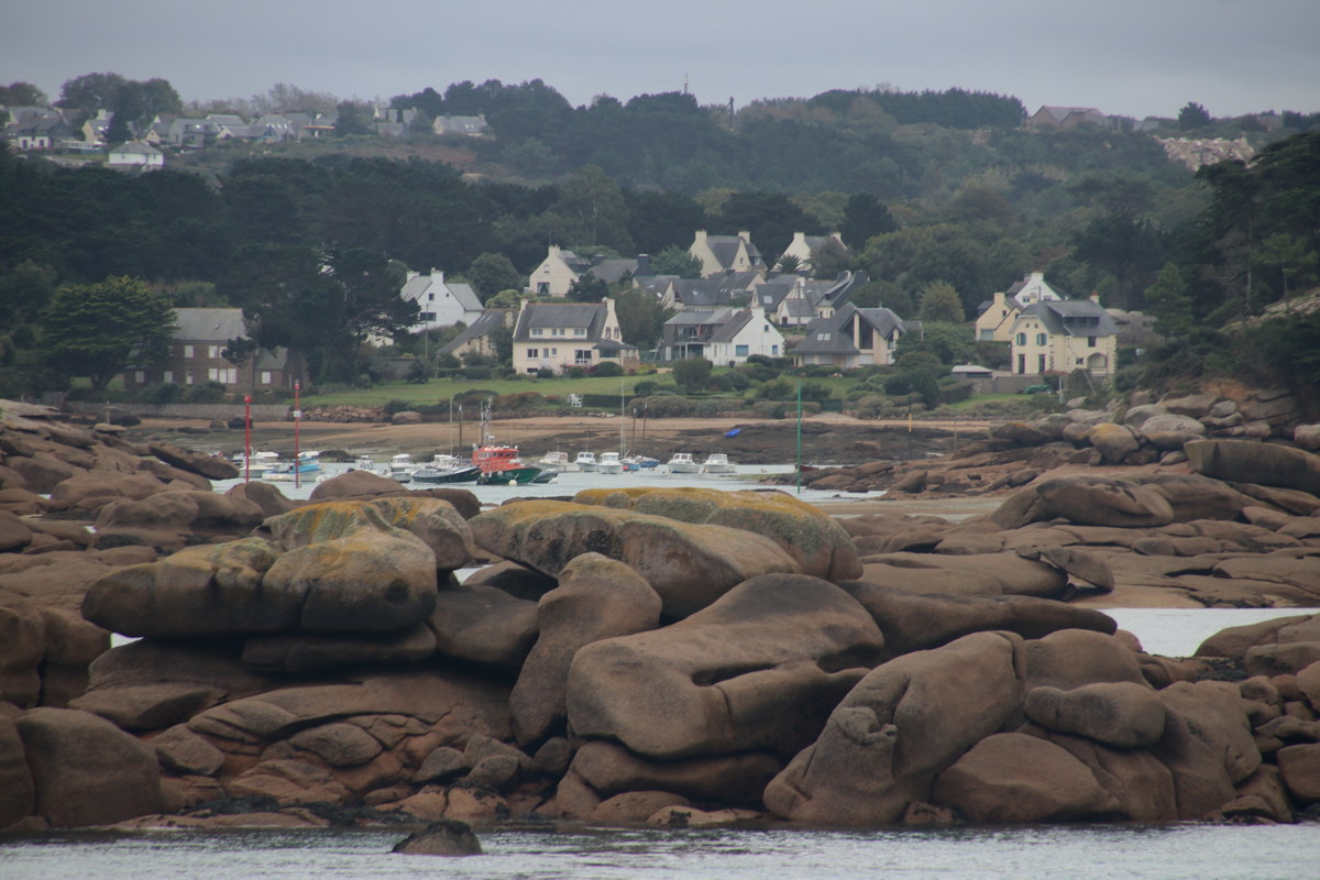
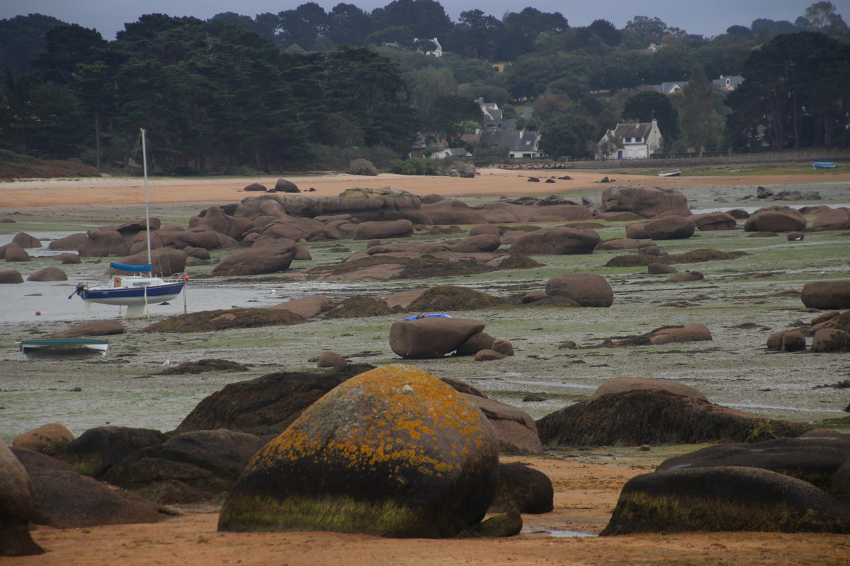
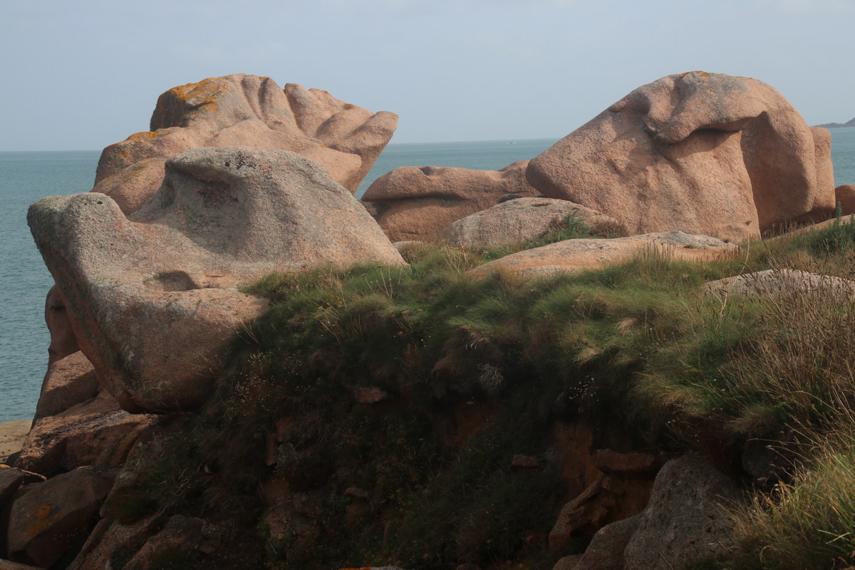
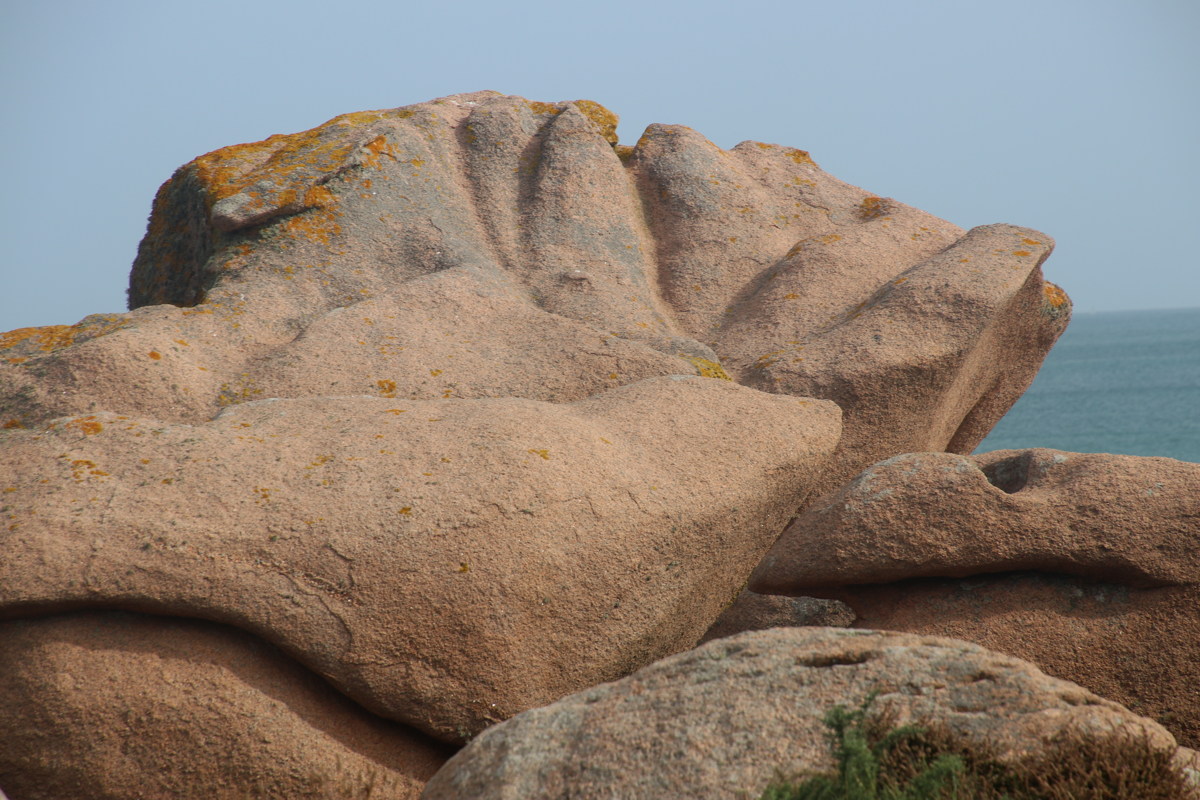
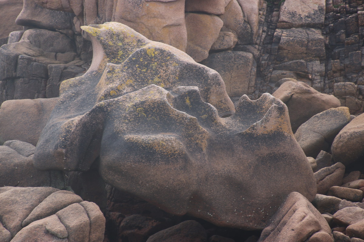
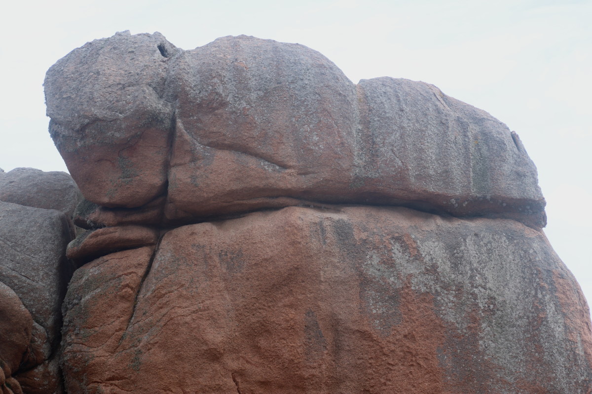
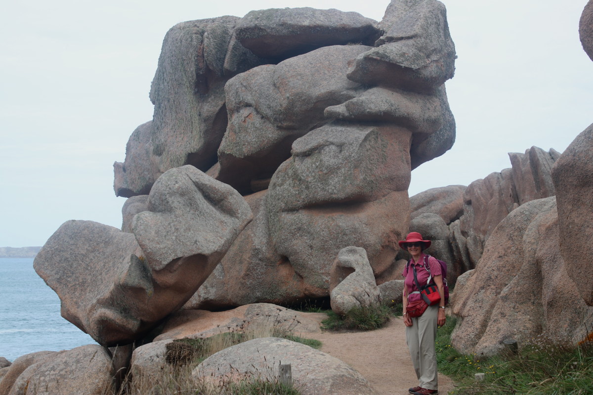
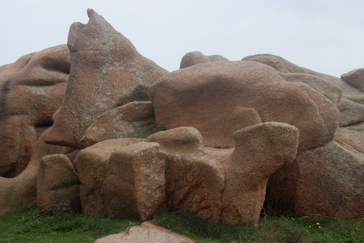
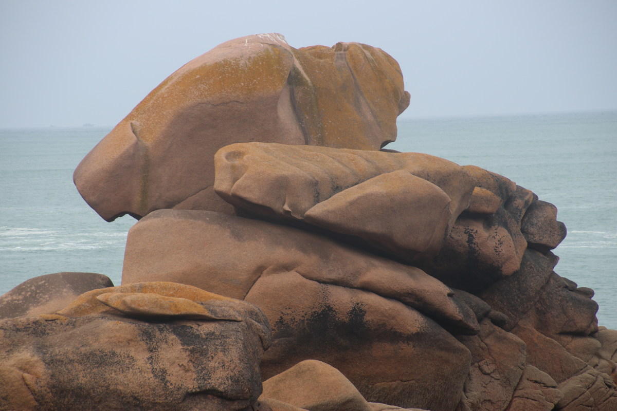
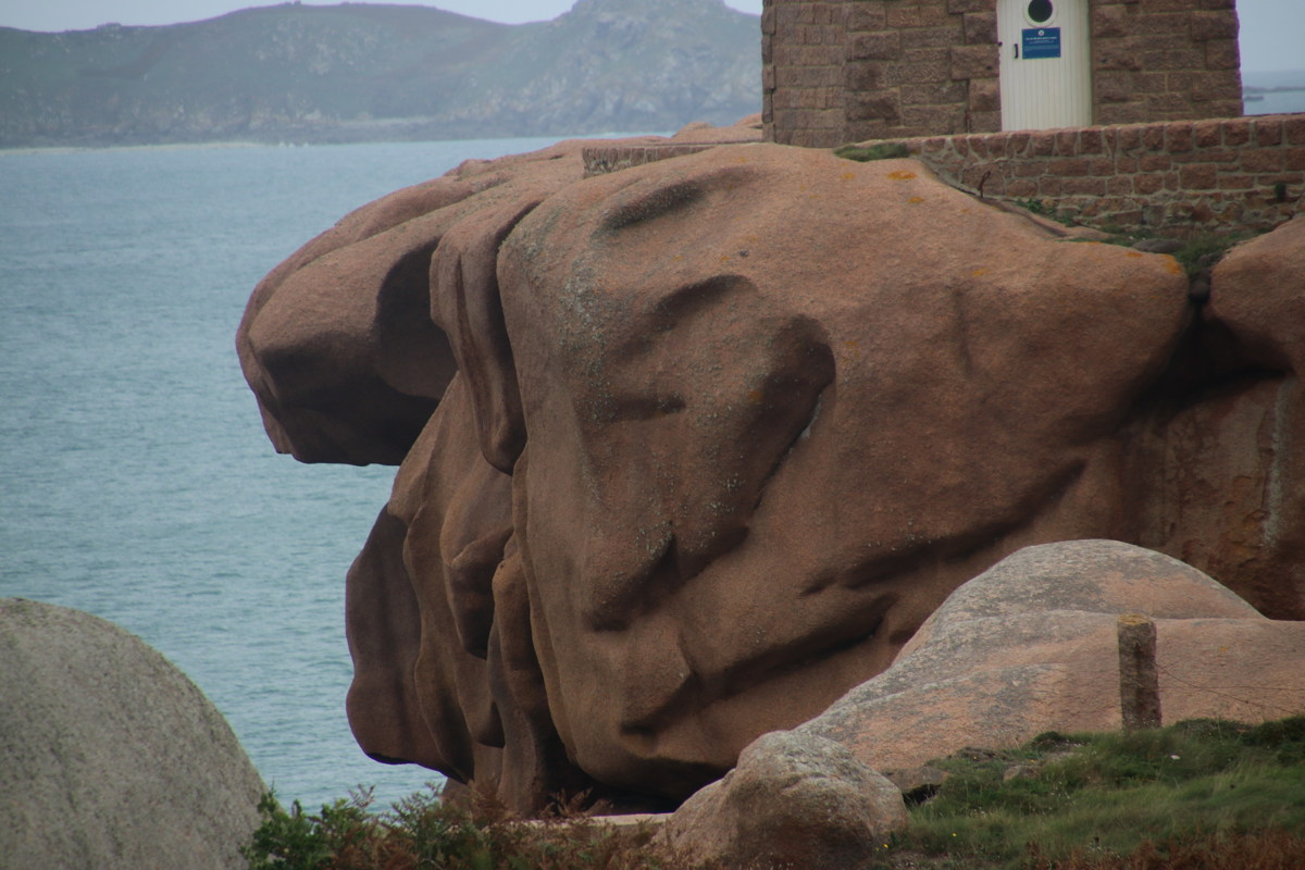
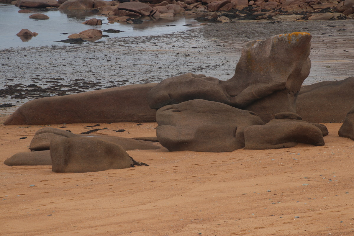
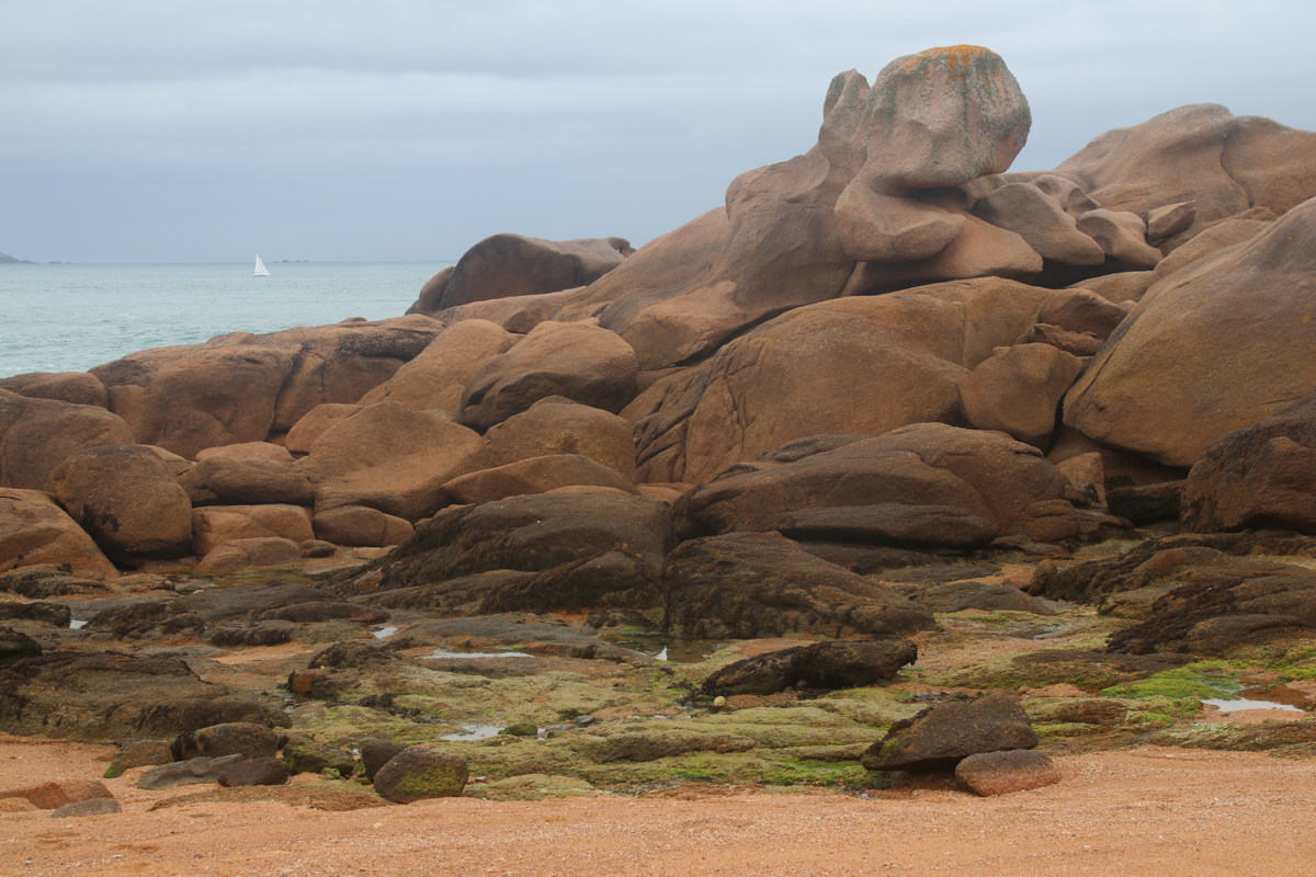
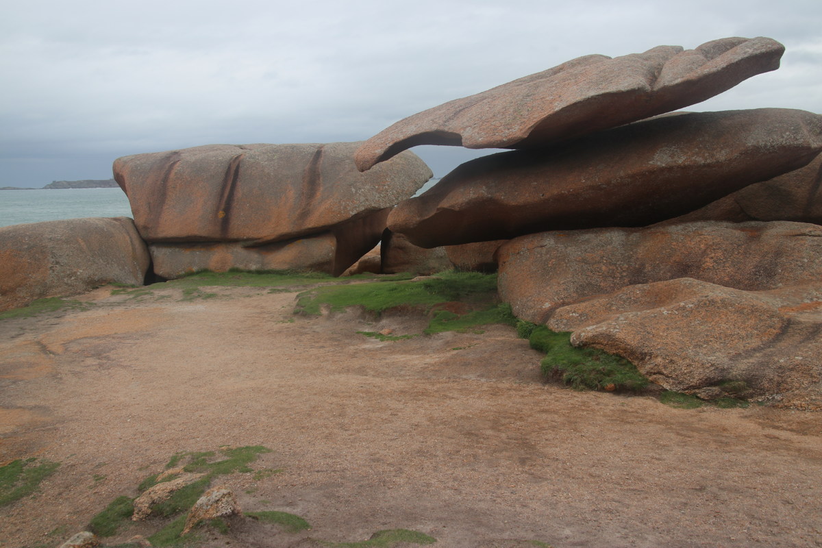
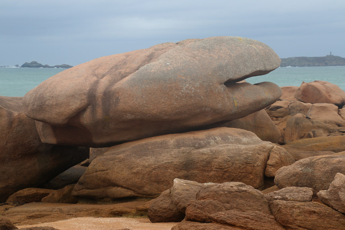
The Cote de Granit Rose — 28 Sep 2023
| Back 25km east from Tregor area is an easy, not-to-be-missed section of coast, just west of Perros-Guirec. The most outstanding part is on the rounded Ploumanach promontory. A second good segment is a few km further West on the long, thin Tregastal peninsula.
The shots are in four groups, first some rock clusters and views, at Ploumanac and then at Tregastel, then suggestive shapes, again Ploumanac followed by Tregastel.
|
|
Rock Clusters and Views — Ploumanac
Rock Clusters and Views — Tregastel
Shapes for the Imagination to Play With — Ploumanac
Shapes for the Imagination to Play With — Tregastel
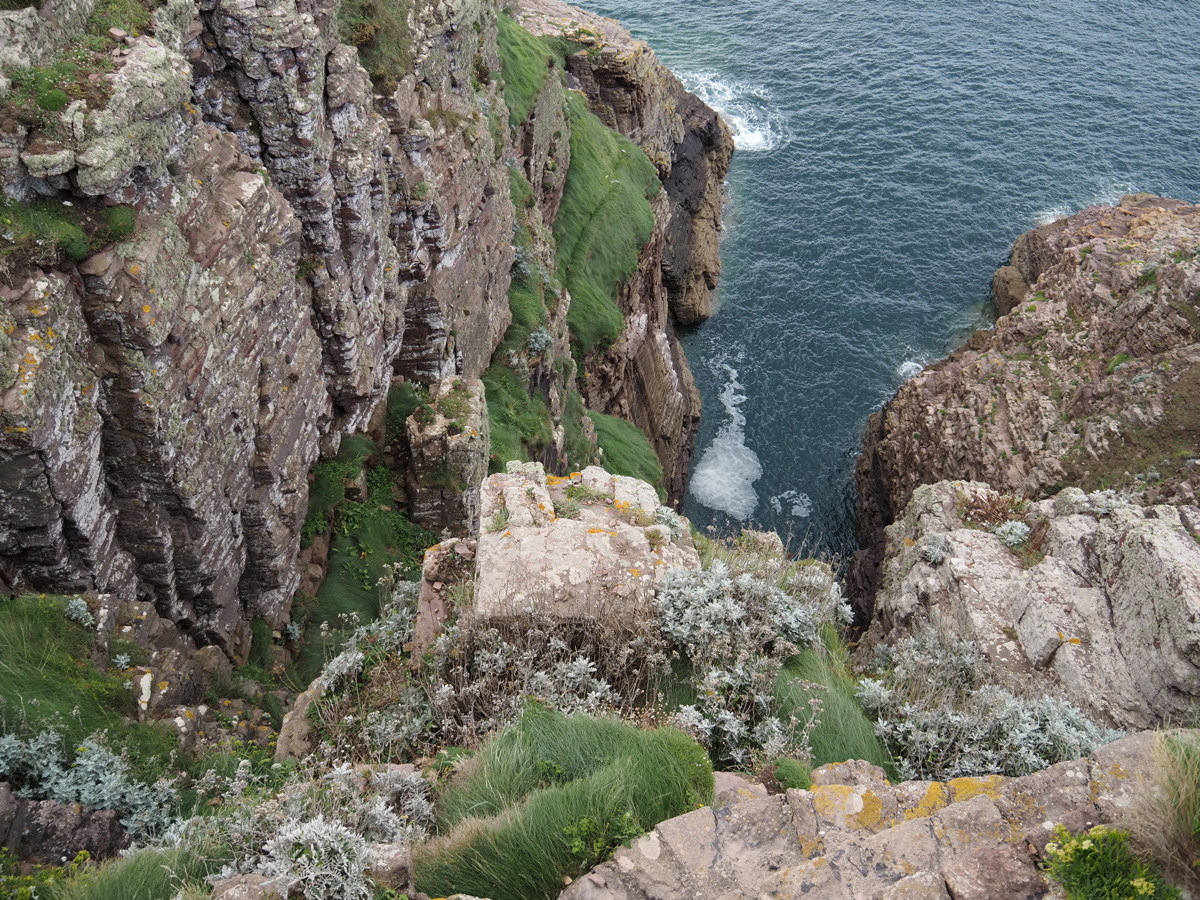
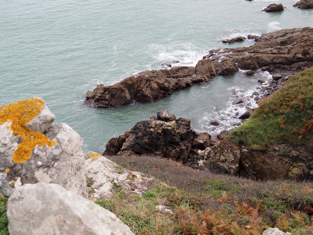
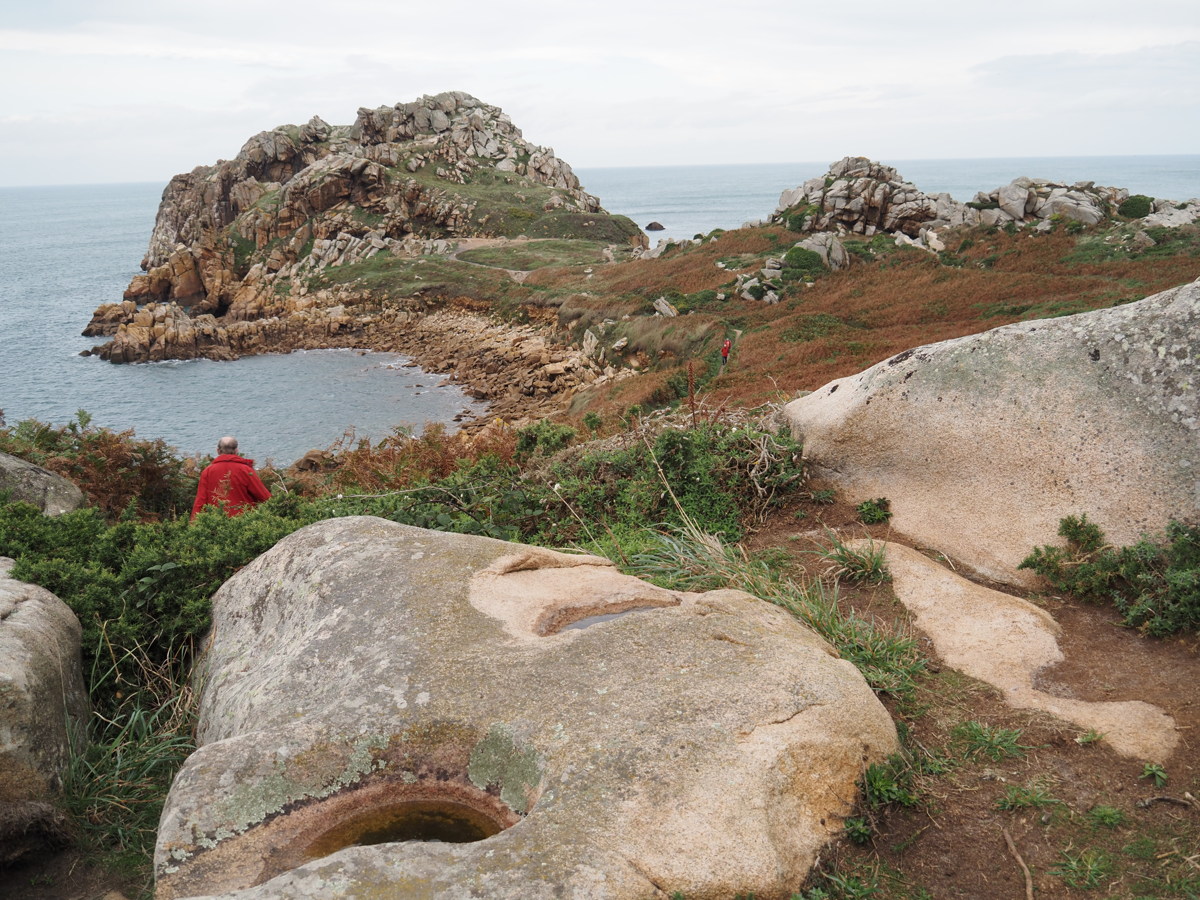
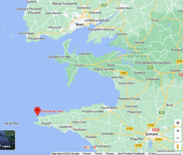
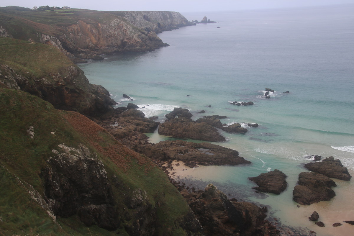
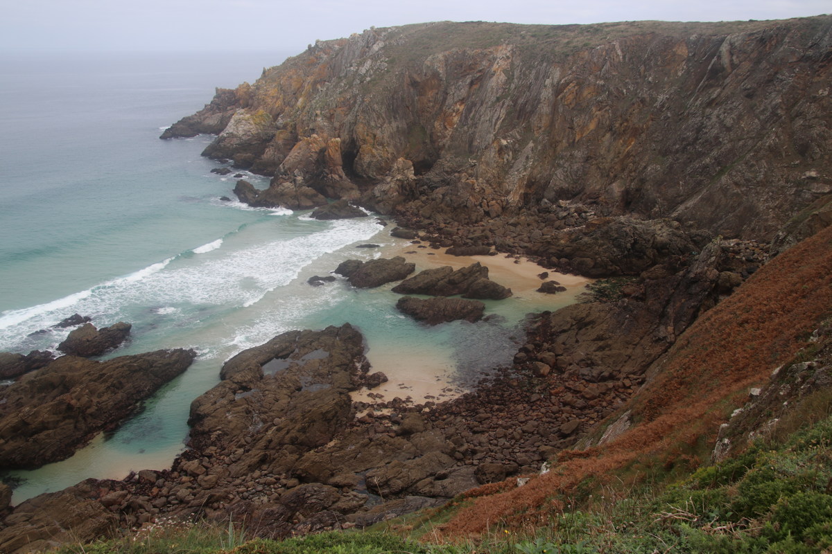
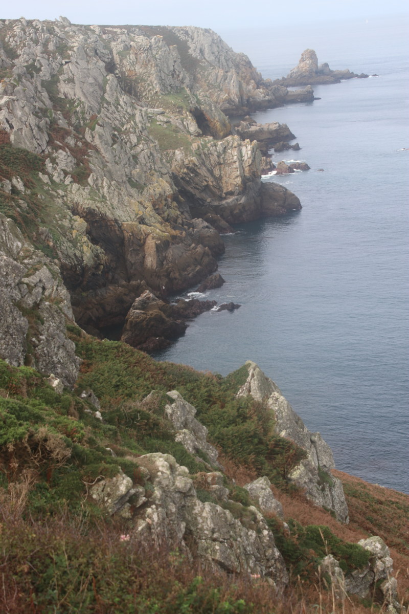
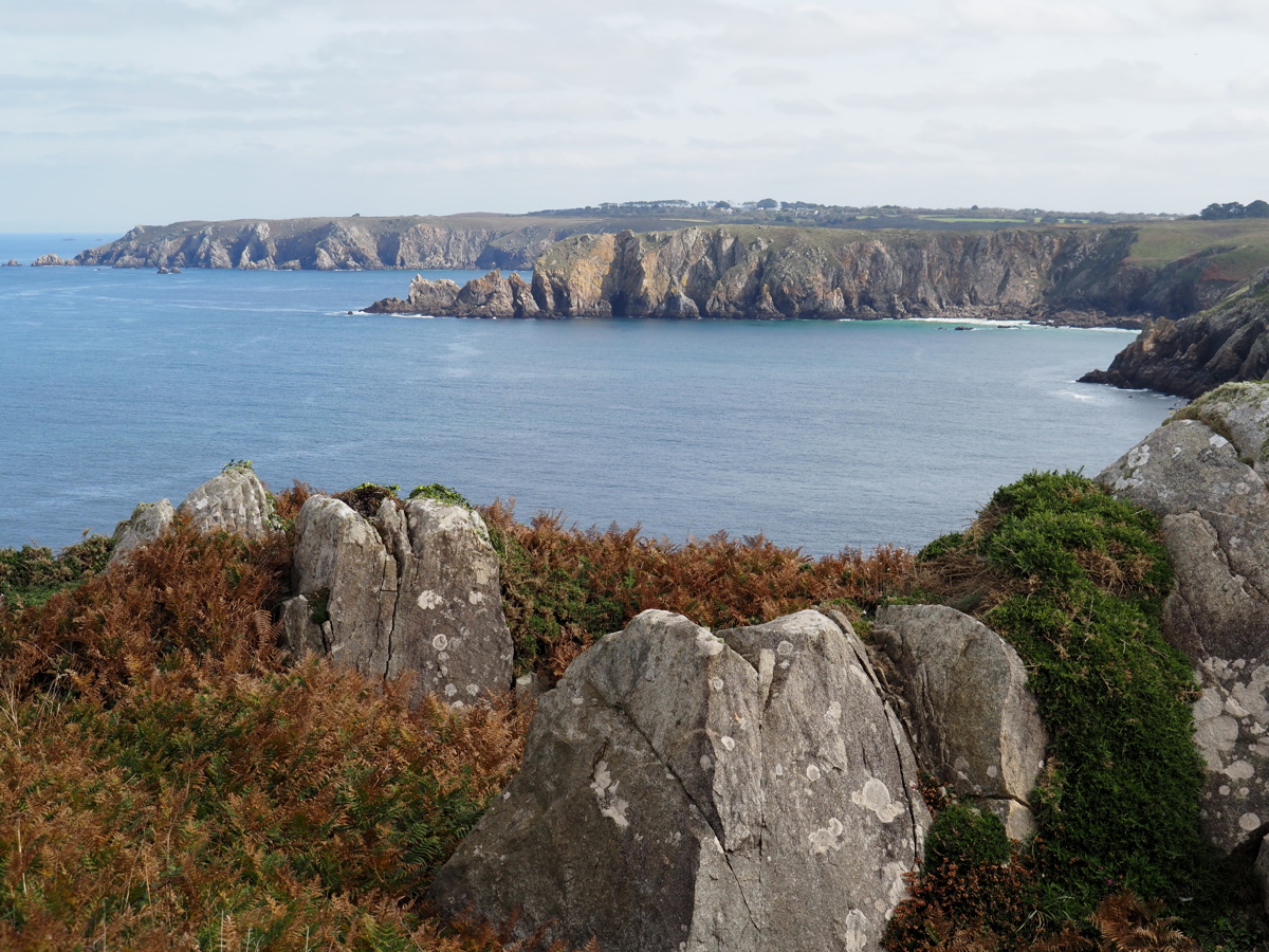
Pointe du Van — 1 Oct 2023
| After shifting from the north to the south, we walked a section of the Cornouaille (SW Brittany) coast, 50km West of Quimper, with excellent cliff views. The famous Pointe du Raz, just south of it, is commercialised and only the very end of it is worth the visit (but involves walking a kilometer on cobbles). |
|
|
|
|
|
Looking N to Pte du Van |
Cliffs |
Now closer to Pte du Van |
Again |
|
|
|
|
Cliffs ... |
... again ... |
... again ... |
... and Cliffs |
|
|
|
|
Sea Caves |
And, um, Cliffs ... |
... again |
Our starting-point at
Pte Castelmeur, now in light |
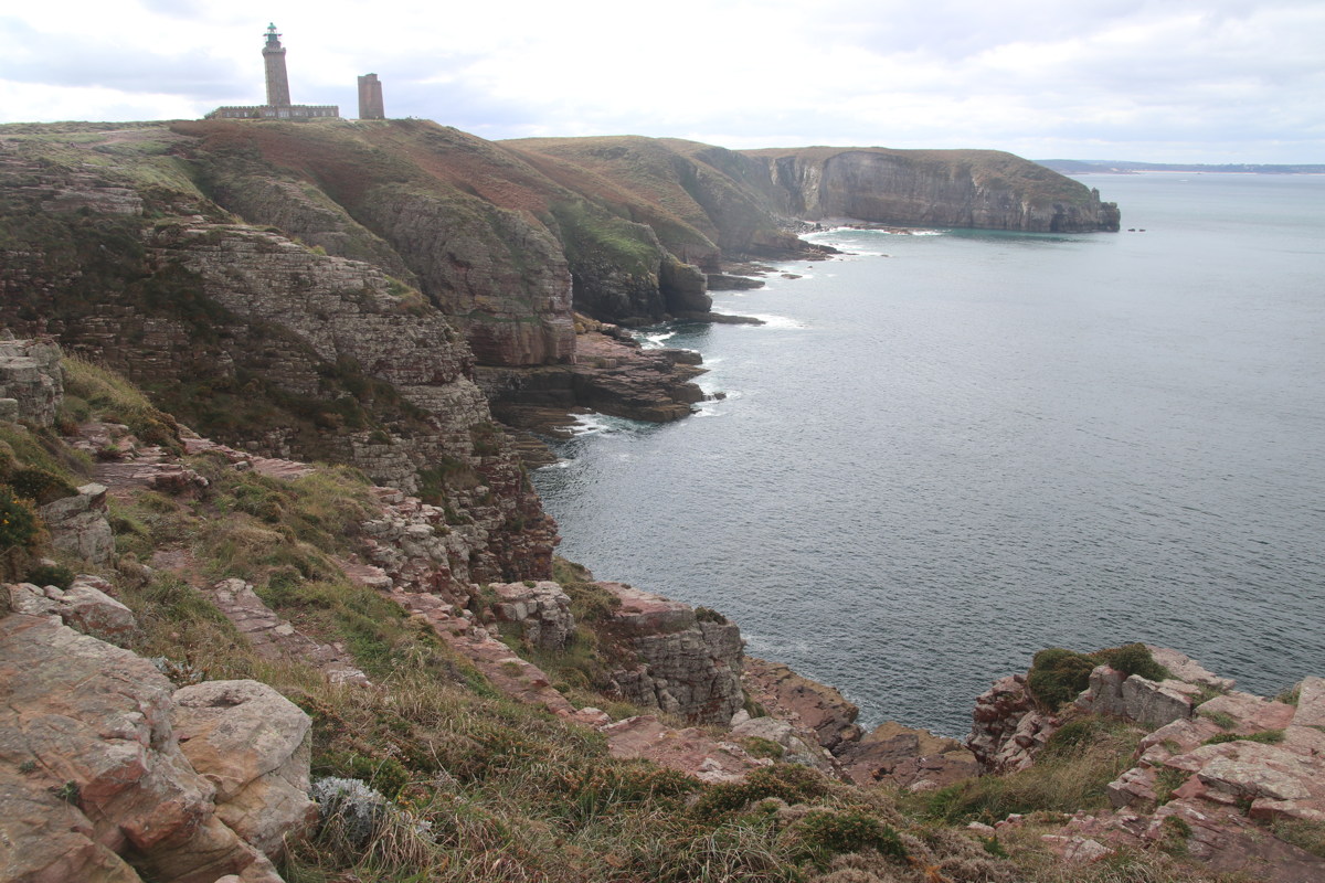
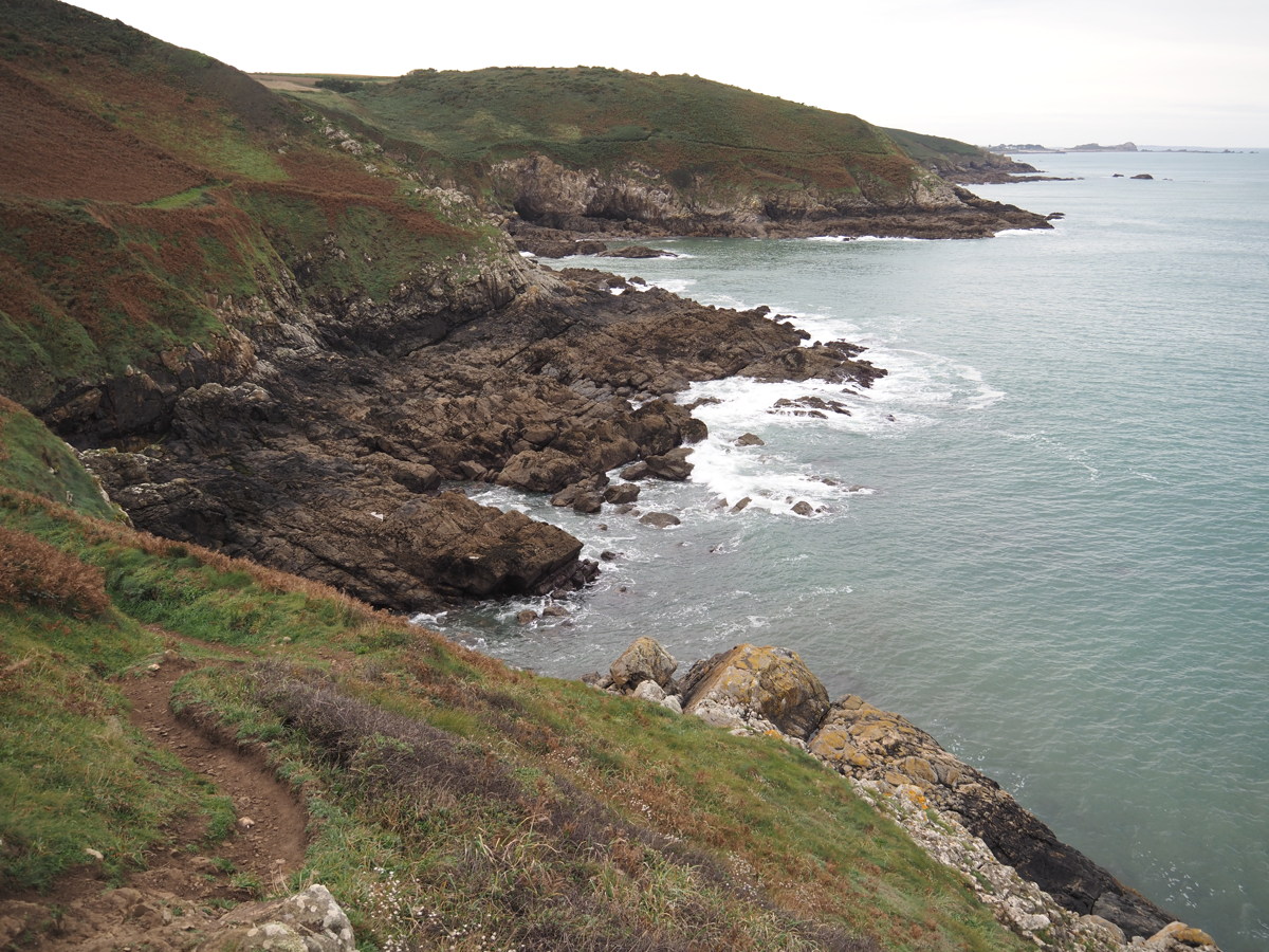
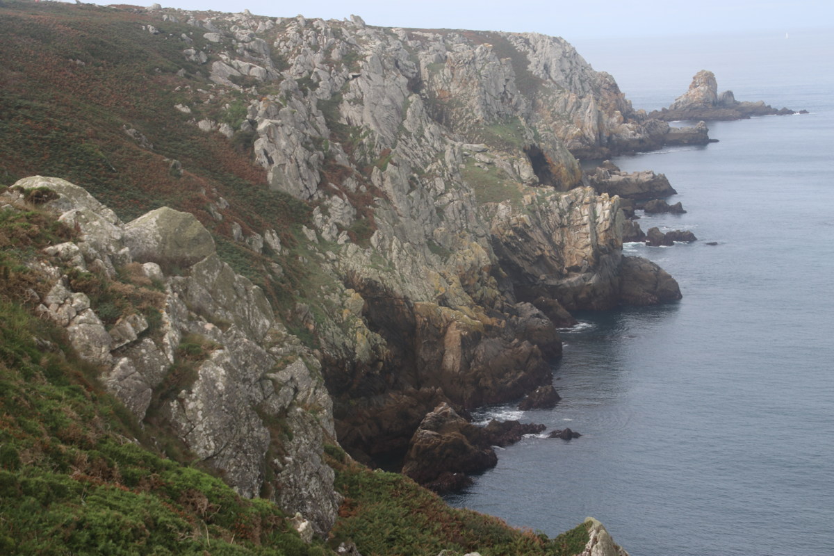
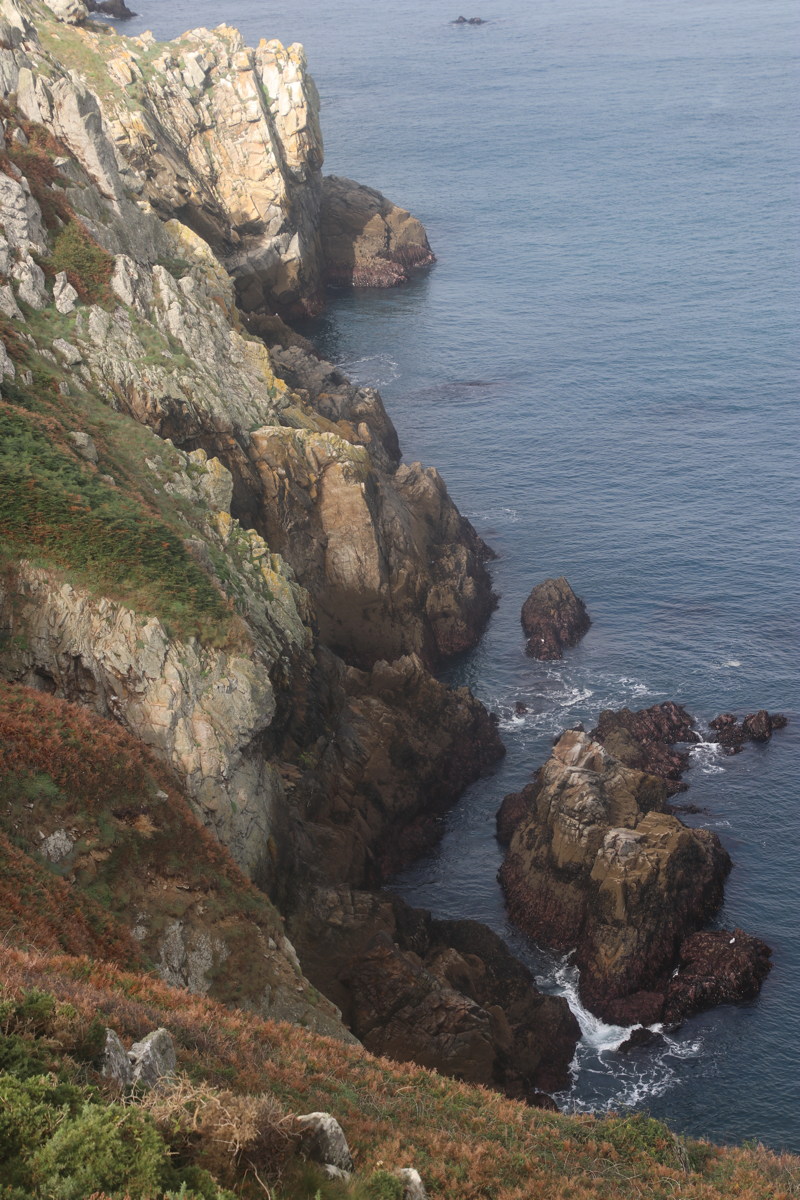
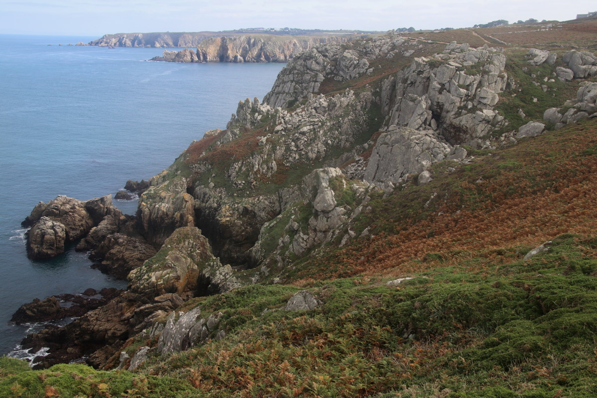
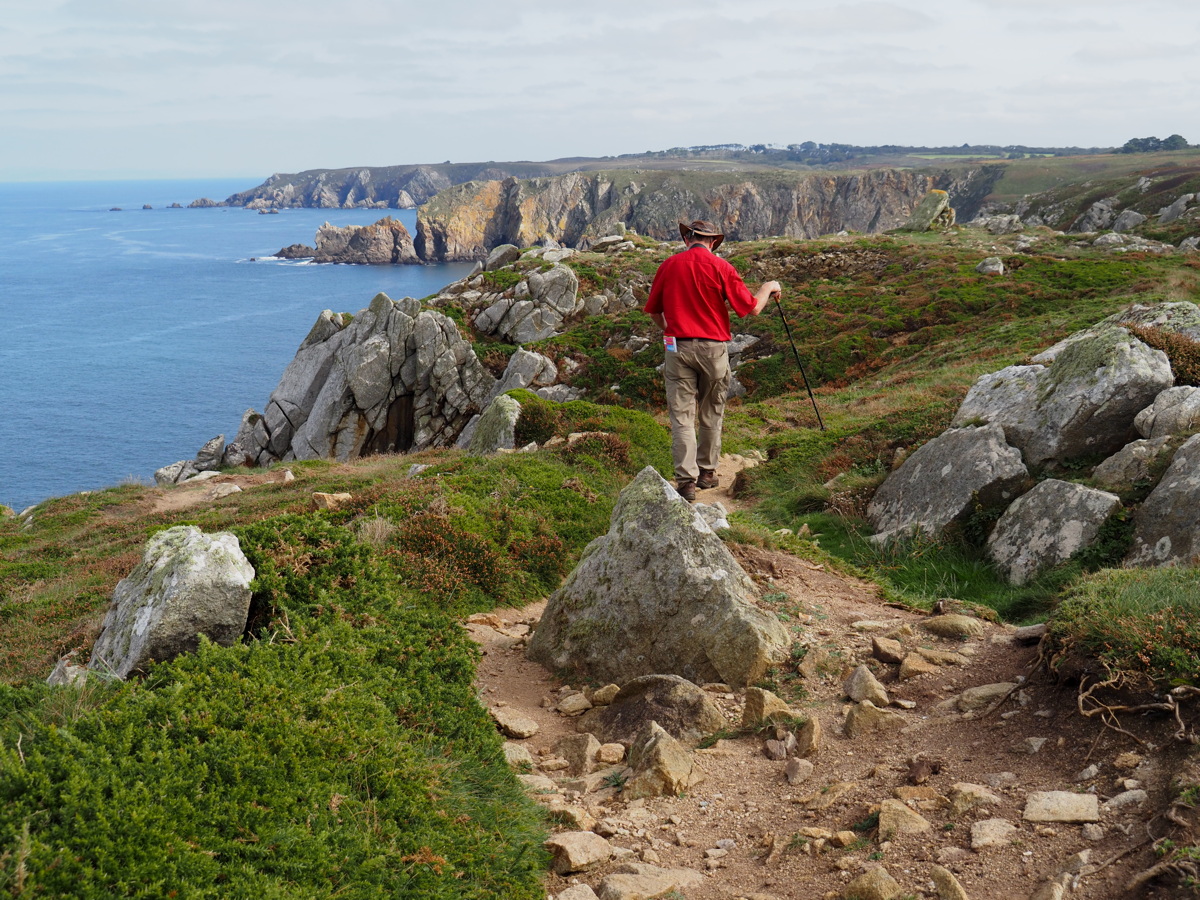
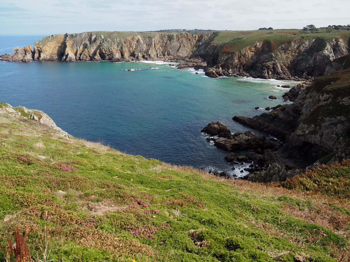
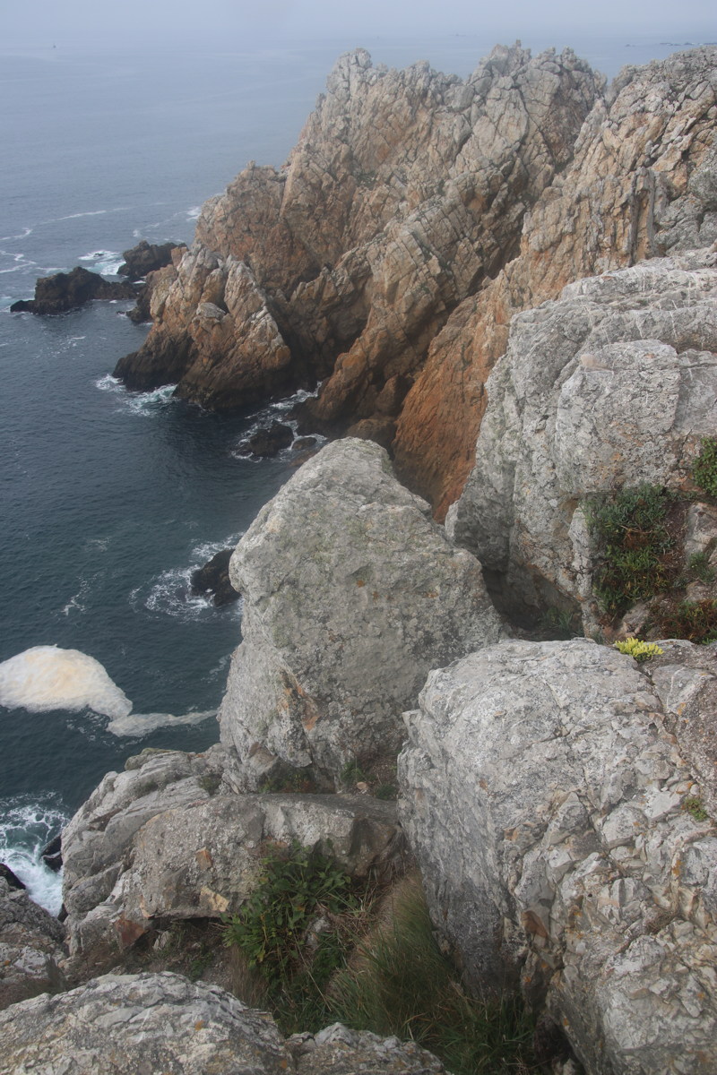
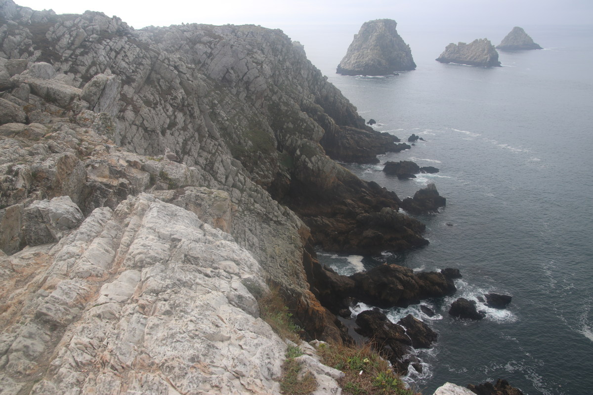
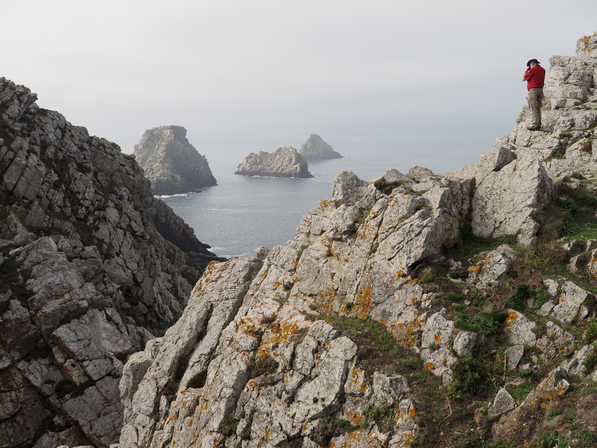
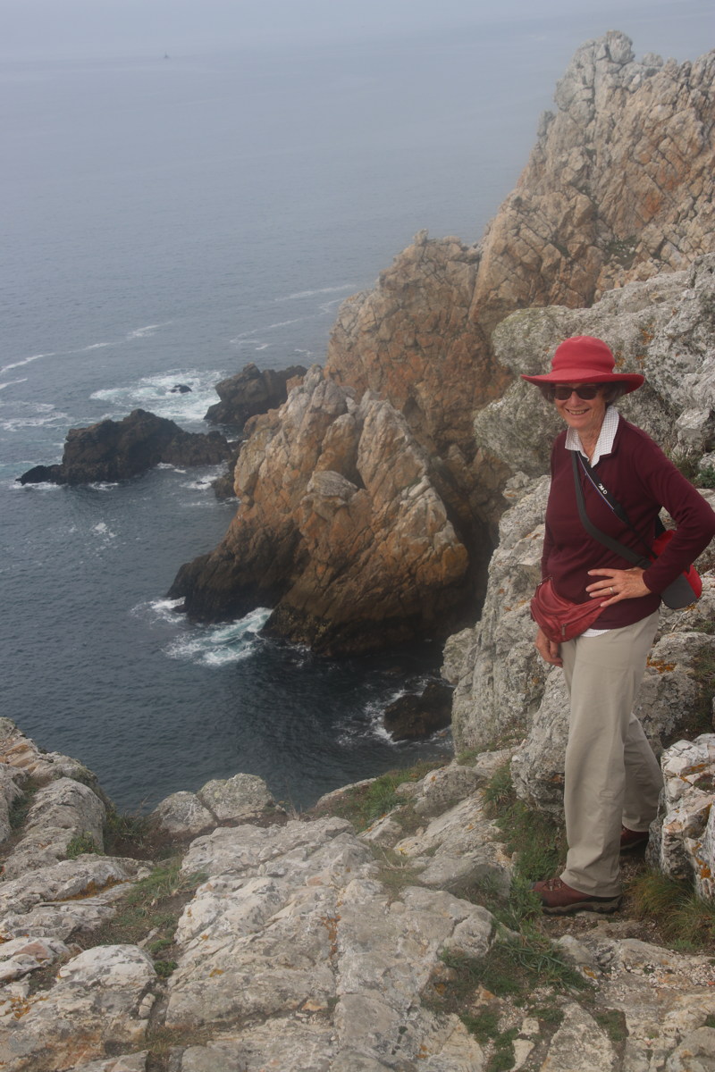
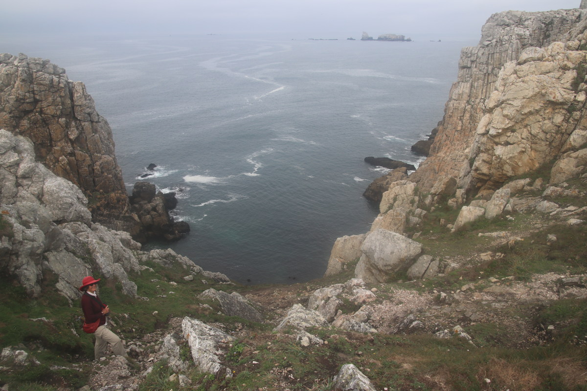
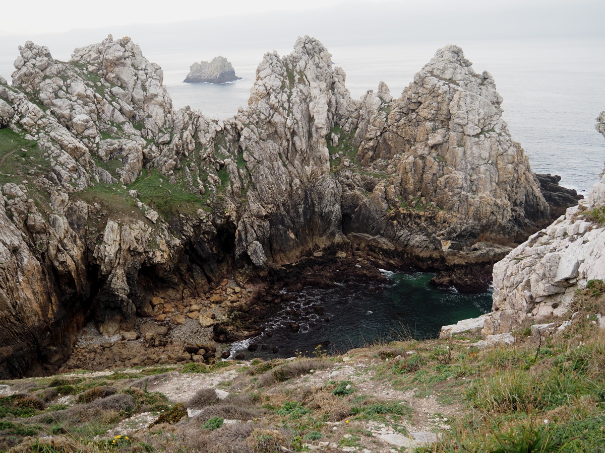
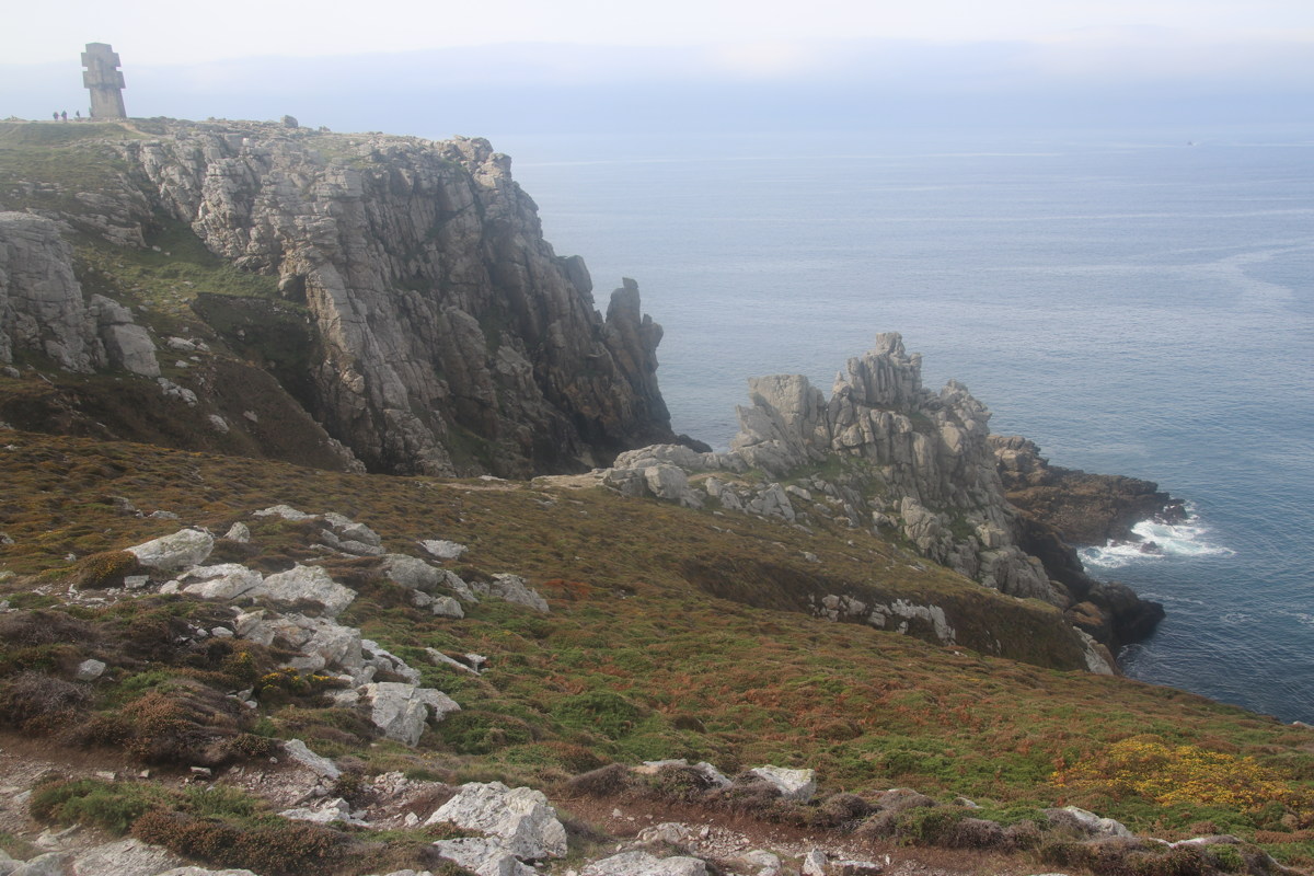
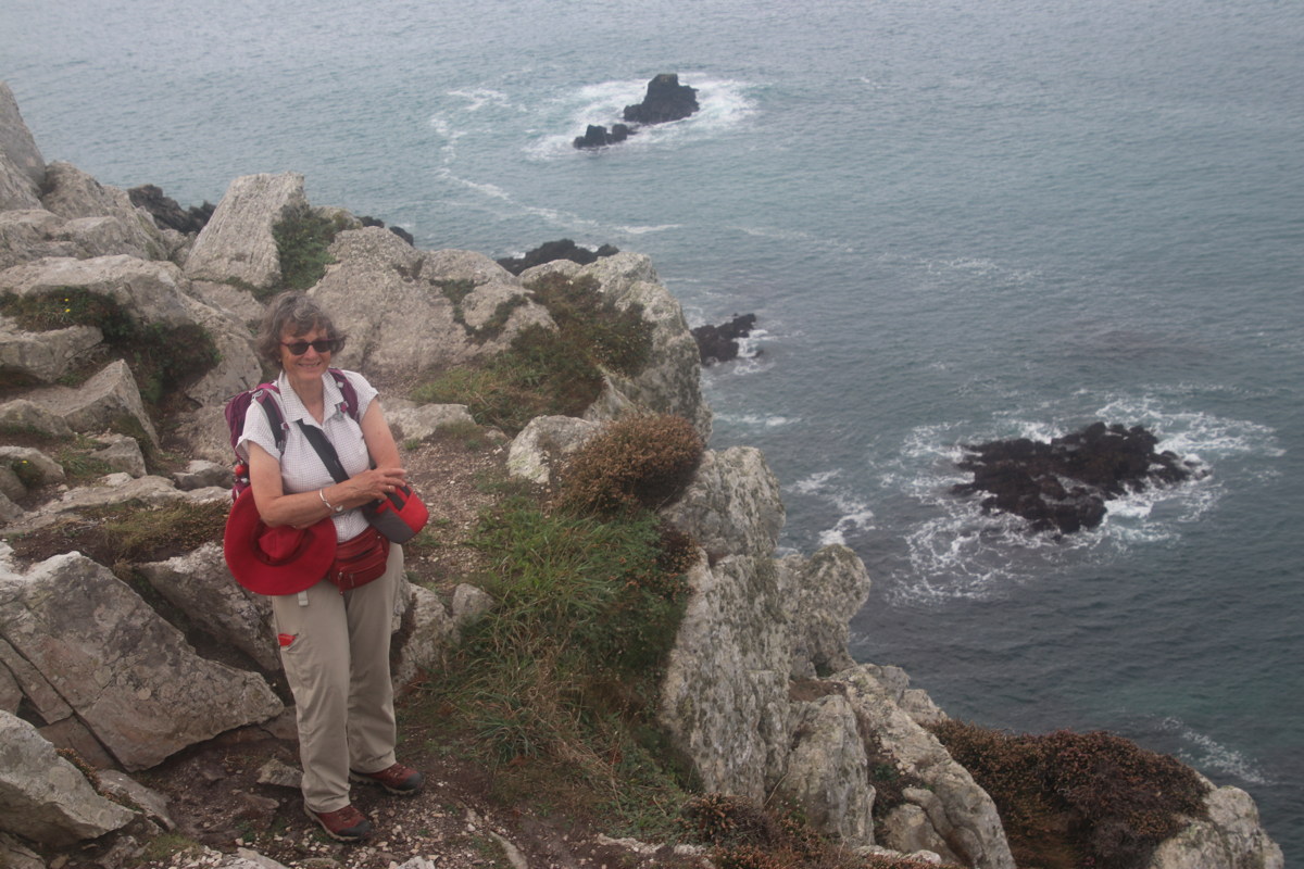
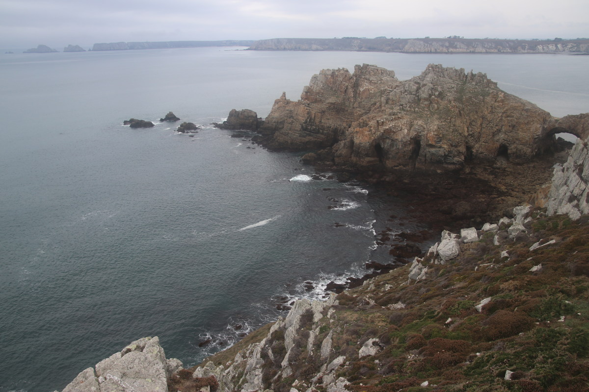
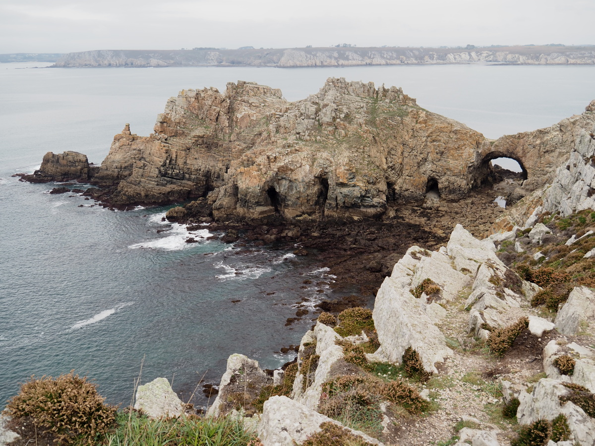
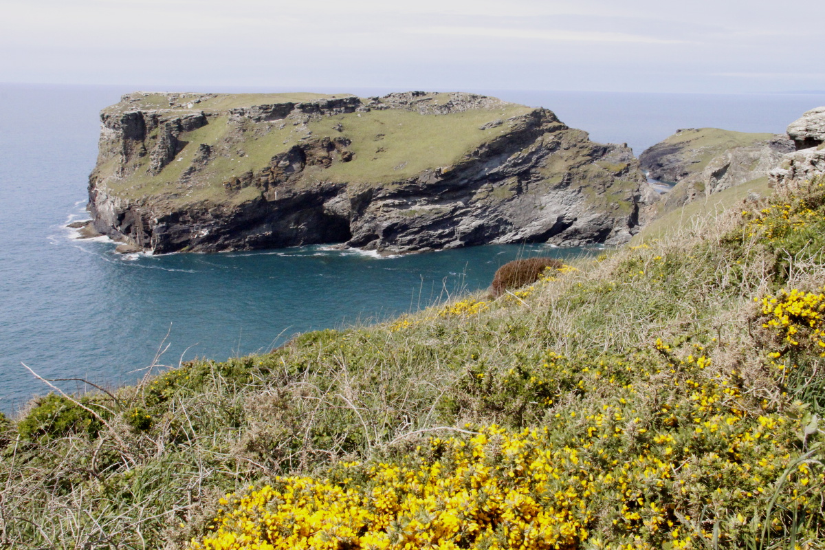
Pointe du Penhir — 2 Oct 2023
| About 60km NW of Quimper, the Crozon Peninsula ends with three separate capes, extending north, west and southwards. We targeted the southern end of the central cape, plus a headland south of it, Pointes de Dinan. The cloud, light rain and sea-mist came in, preventing us checking out the other headlands. |
|
|
|
|
|
Penhir Cliffs ... |
... Cliffs ... |
... Cliffs ... |
... Cliffs ... |
|
|
|
|
... Coves ... |
... Coves ... |
... Cliffs |
... Cliffs |
|
|
|
Dinan 'Castle', faintly ... |
|
... and from across the bay |
Spanish Basqueland — 9-10 October 2023
Staying 3 nights in the hills south of San Sebastian, we did two more serious walks in the two ranges further south, the Aralar and Aizkorri:
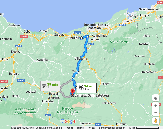
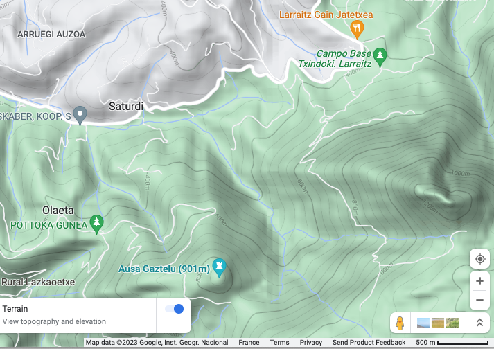
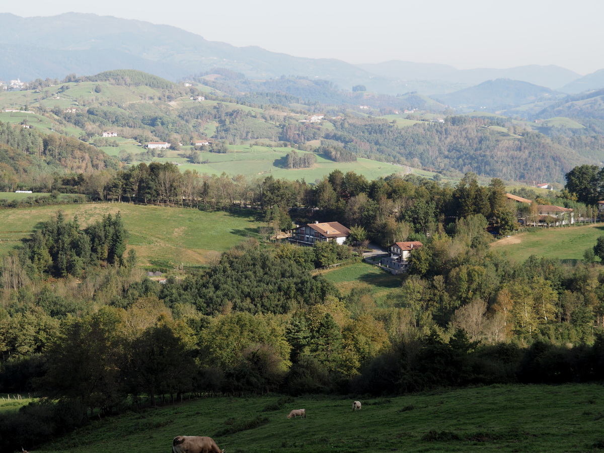
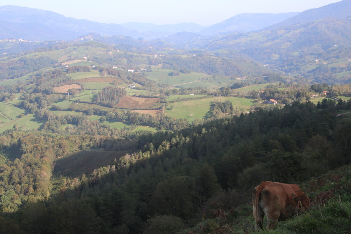
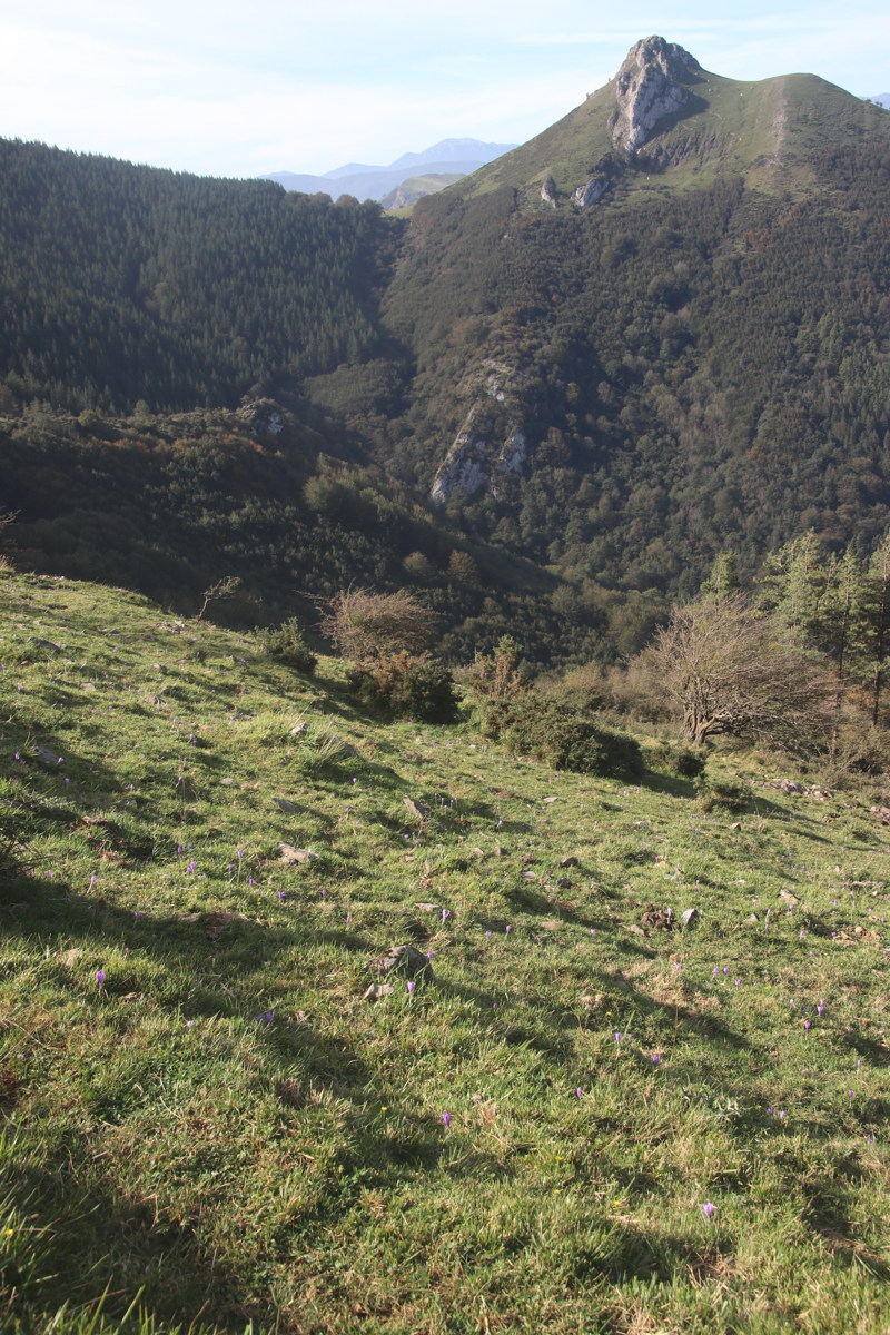
Txindoki — 9 October 2023
| We started in the carpark 500m SE of Larraitz Gain Jatetxea, at 420m. The stony path goes steadily up SW then SE, around the flank of Larrunaru (1342m), with the later sections quite steep. (Confusingly, the mountain, or maybe the ridge, is also called Txindoki). We lunched 40m above a dairy called Beltzulegi (1100m), so at 1140m,making it a +/-720m walk. (The peak would have been an extra 200m). It was about 4km each way, 2.5 hrs up, 2hrs down, with Roger's knees slowing proceedings.
| |
|
|
|
|
|
Early on, sun still low at 11:00 |
Mist clearing |
After forests, mountains |
Walkers on Auza Gazteleu (901m), 2km SSW |
|
|
|
|
The track behind us ... |
... and in front of us |
Autumn Crocus |
Beltzulegi Dairy ... |
|
|
|
|
... and resident horses |
Larrunaru (1342m) |
Our lunch-spot, at 1140m |
North to Abaltzisketa |
|
|
|
|
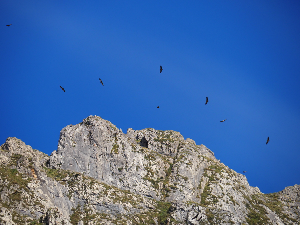
The view WNW, one more time |
Before the path becomes steep |
Vultures |
Back at the starting-point |
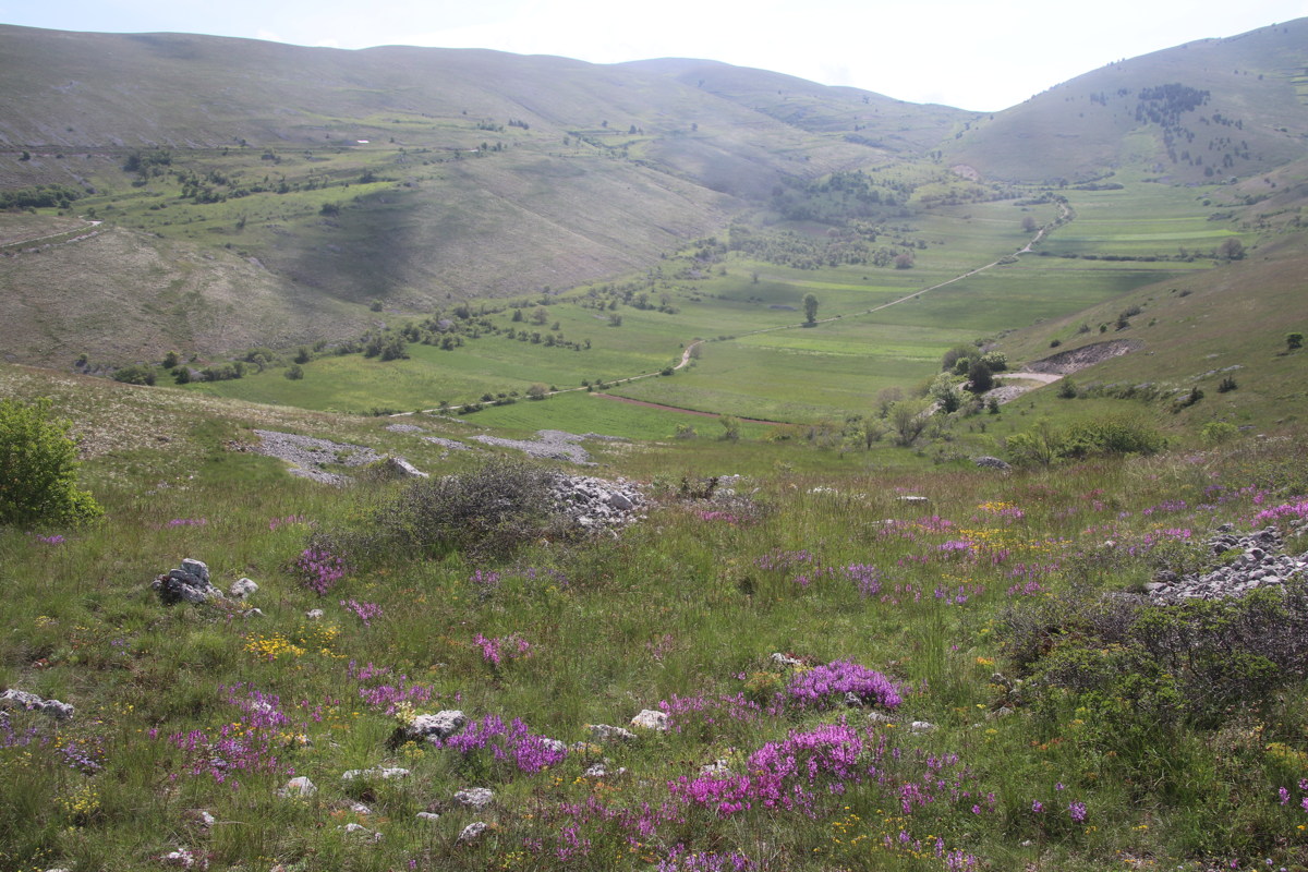
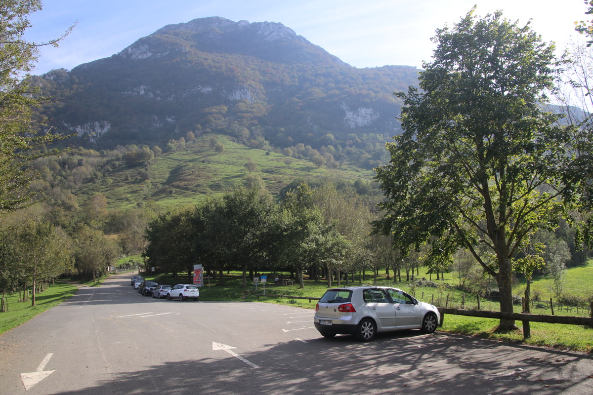
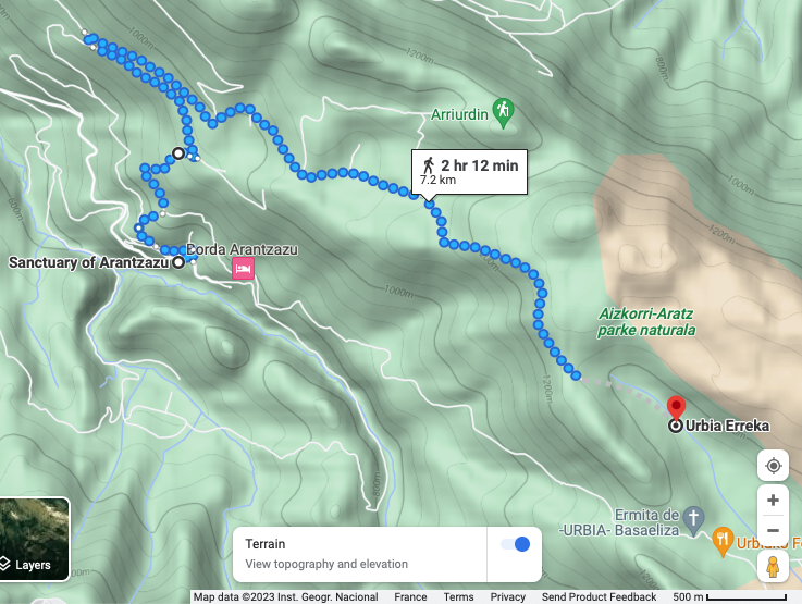
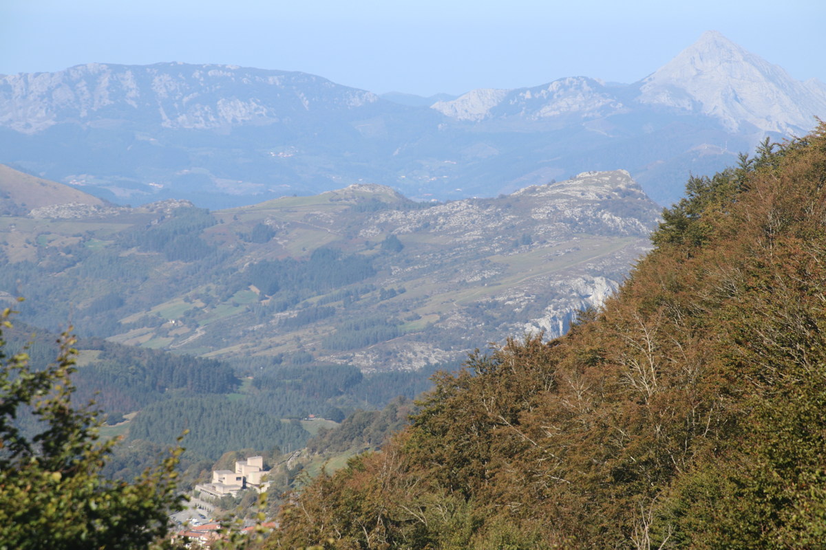
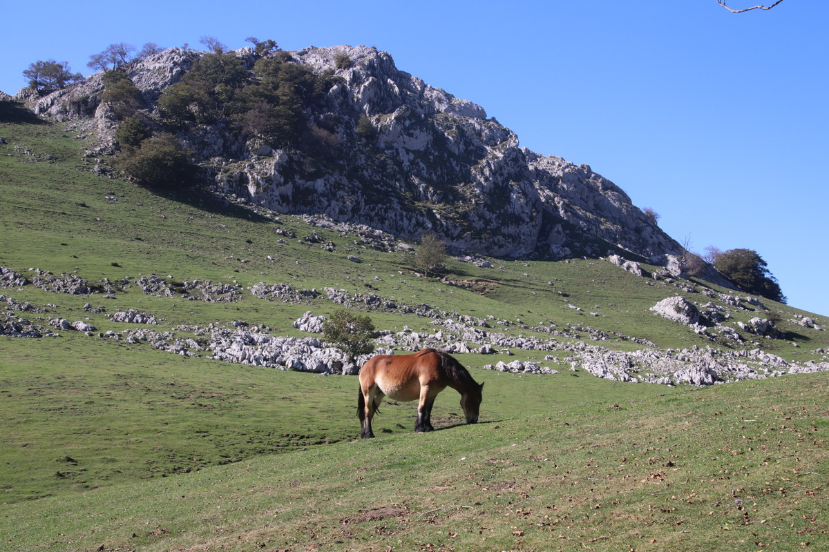
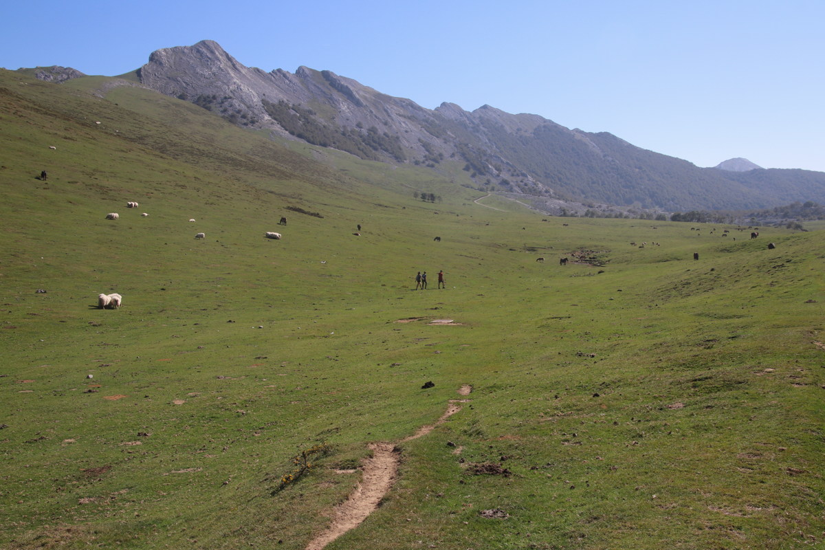
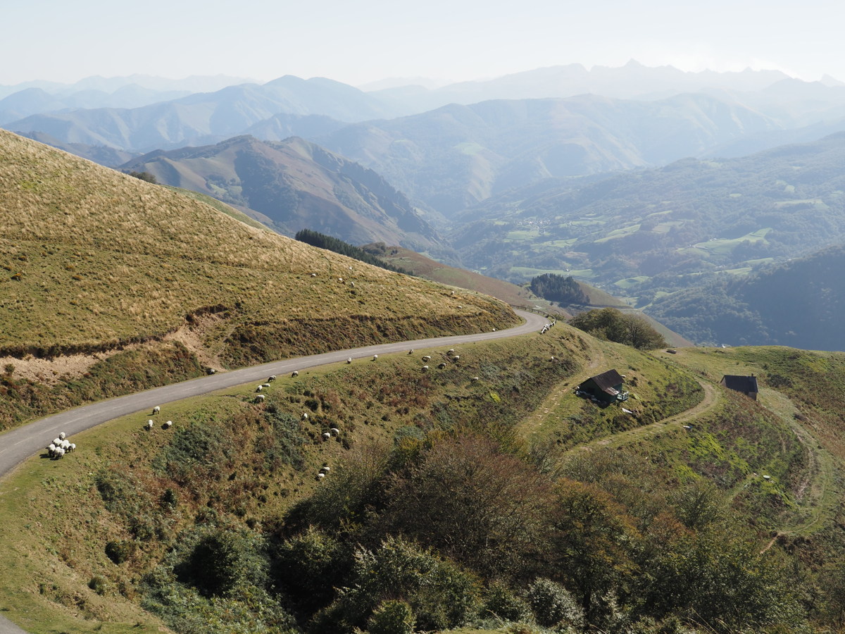
Arantzazu to Orbiako — 10 October 2023
| This walk was in the Aizkorri range, SW of San Sebastian. It starts at the Sanctuary of Arantzazu, which is an ugly 1950s church and associated buildings set high above a valley. We didn't do the full walk up on to the adjacent range. We took the direct route up, SE to Orbiako Fonda (4.7km, 1h45m), and returned via the higher route to the north, including Orbiako Erreka (7.2km, 2h30m). The 12km was from 720m to 1260m, with some rise and fall, so about 600m in all.
| |
|
|
|
|
|
|
First view back
to the starting-point |
Emerging from the forest
into a hanging valley |
The range, 400m above,
Aizkorri to the far SE |
A Sinkhole ... |
|
|
|
|
... in the limestone |
The view westwards ... |
... including the start-point |
An easy bit of the track back |
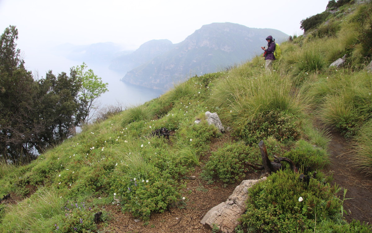
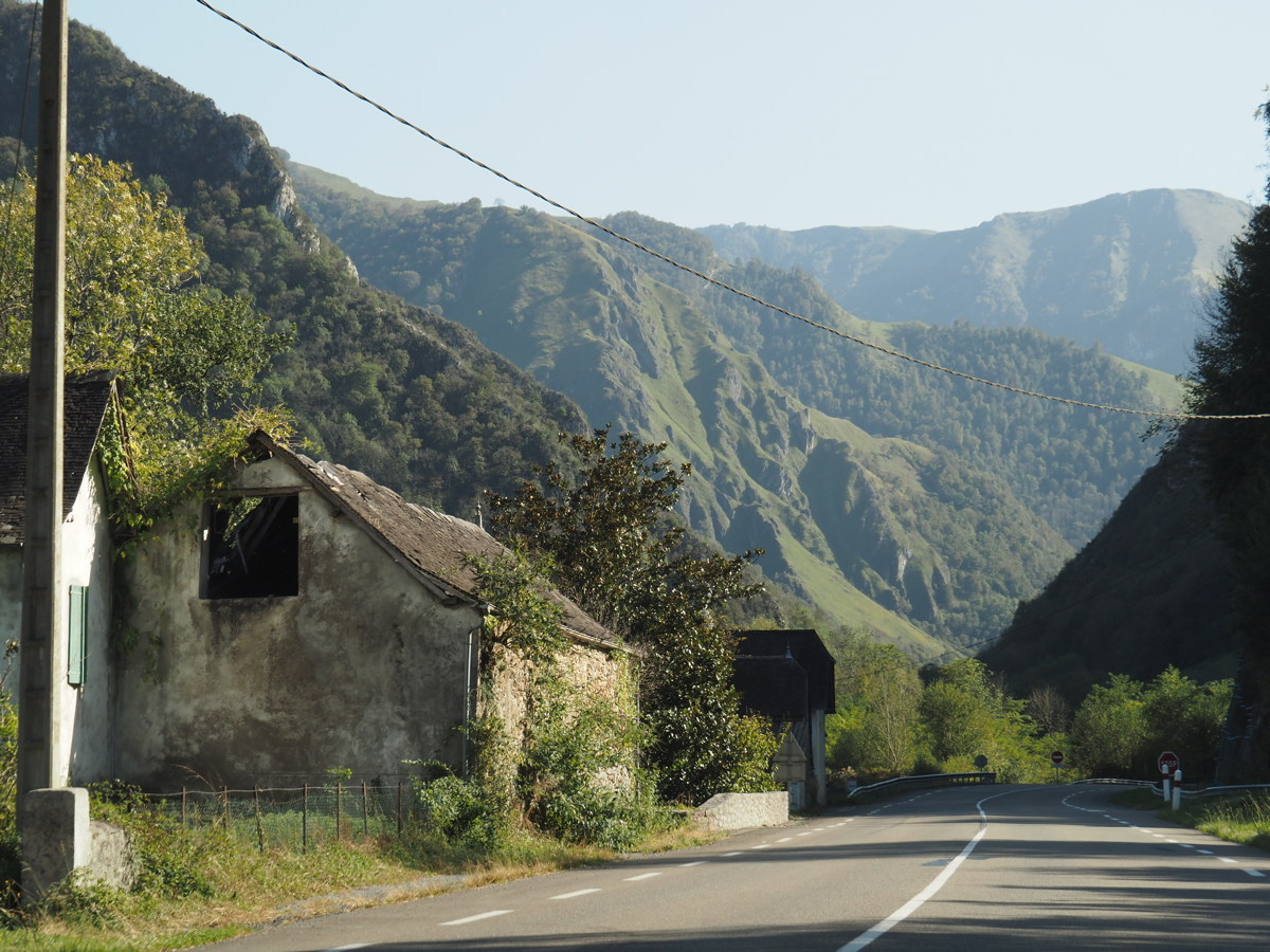
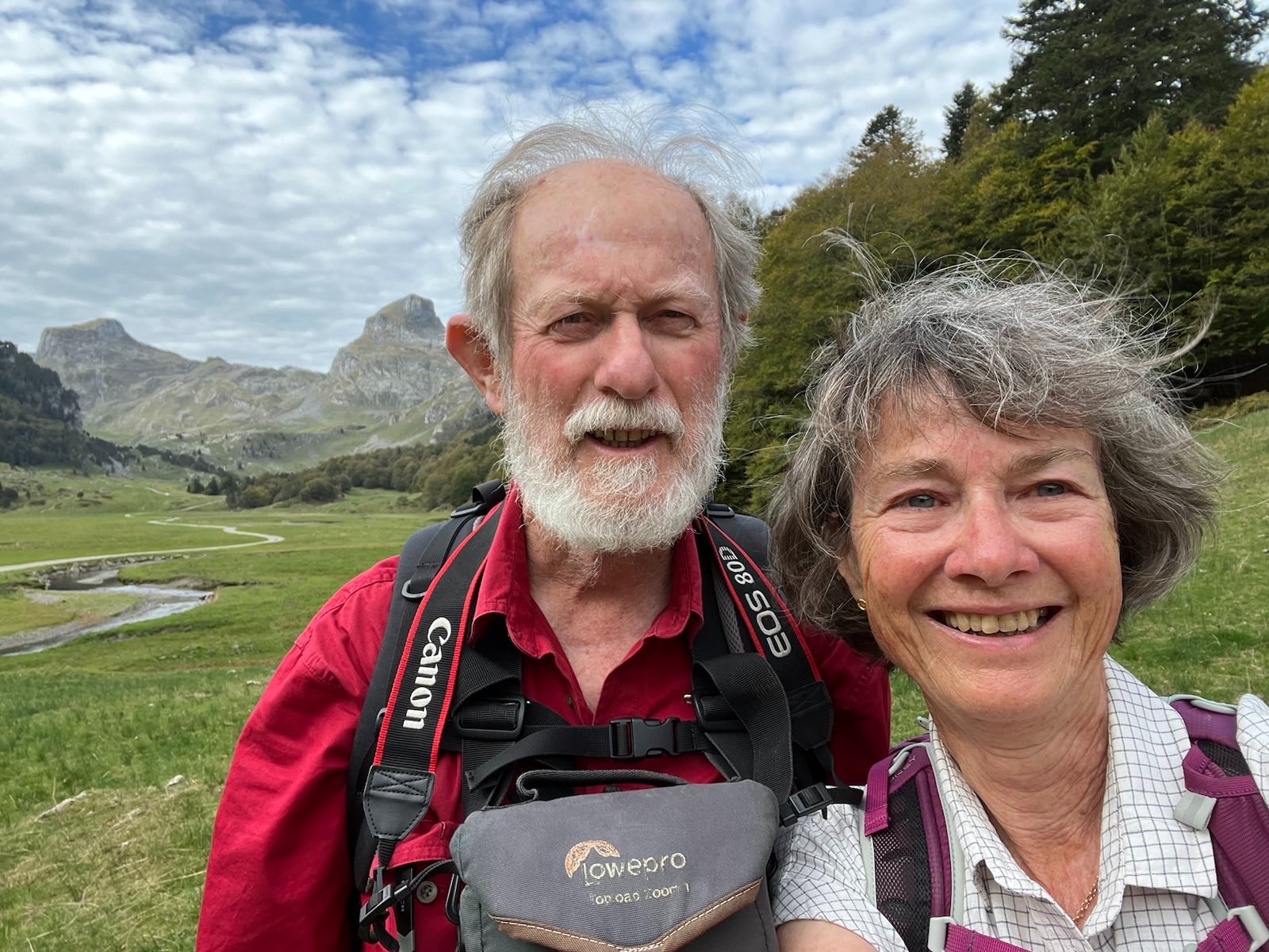
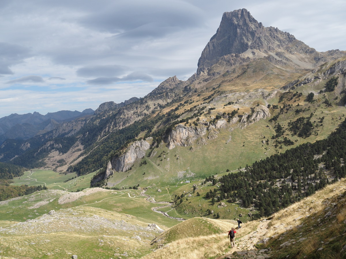
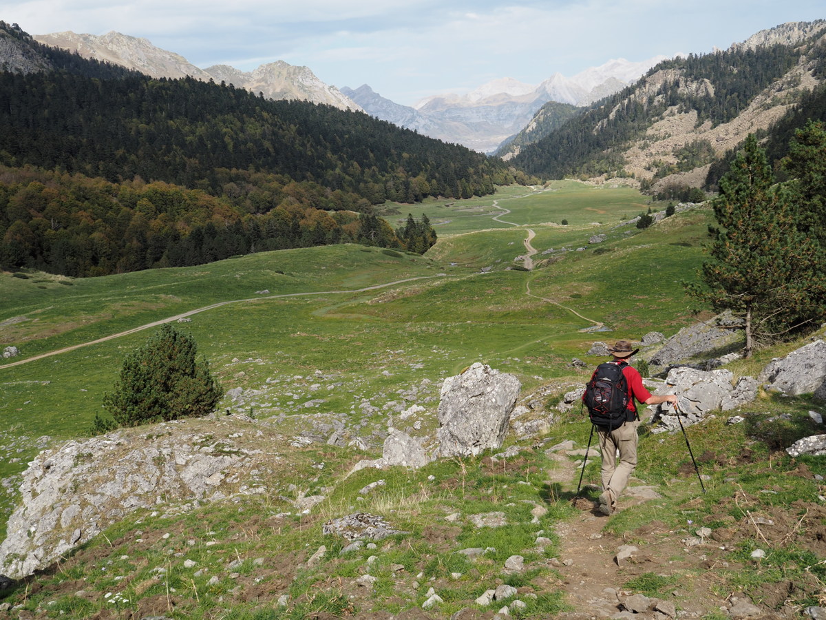
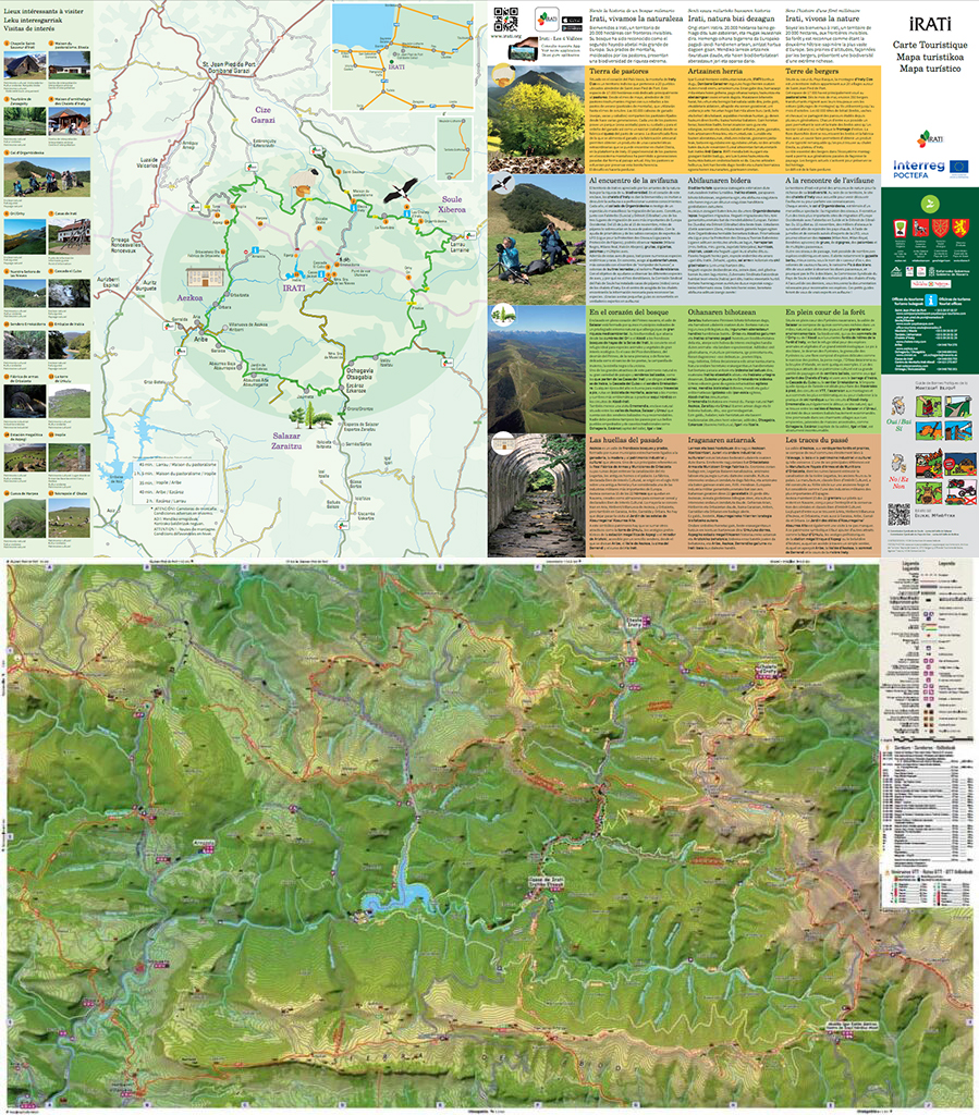
Iraty — 12 October 2023
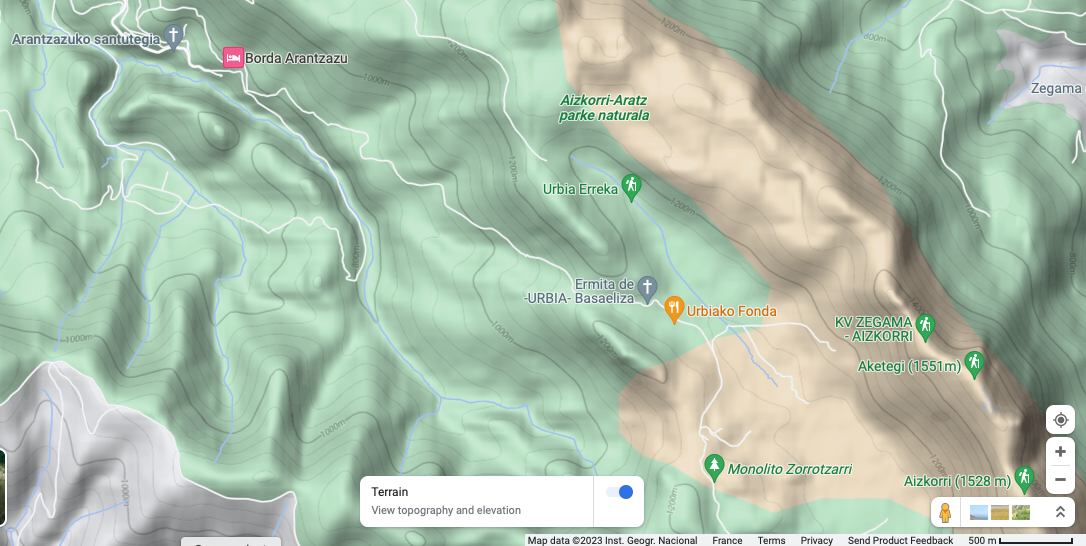
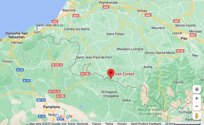
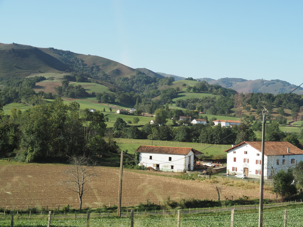
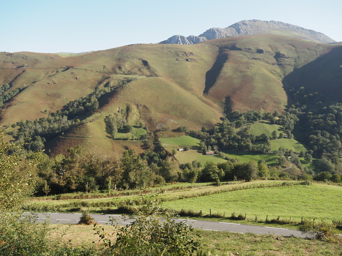
| Irati/Iraty is the common name for a loosely-defined and thinly-populated area in the western Pyrenees of about 60km x 40km. It lies SE of St-Jean-Pied-de-Port, and SW of the Ossau valley, within the Basque-speaking region, about 1/4 in France and 3/4 in Spain. Here's an indicative map. It comprises thick forests, pasture producing renowned sheep-milk cheese, and a river-valley in the north of the Spanish province of Navarra.
The highest peaks rise from about 1200m in the west, between St-Jean and Roncesvalles (a major variant of the Santiago pigrim's way), to 1800m in the east, near Larrau, with one peak at 2000m. (At the head of the next valley east, the Ossau, there are many peaks well above 2000m, the highest being the Pic du Midi de Ossau at 2884m). Easy access by car has existed only since the late 1960s, and Wikipedia says it well: "it has maintained a wild and mysterious aspect".
This was a drive, not a walk, but it's worth recording the images. |
|
|
|
|
|
Starting in the
lush west, near St-Jean |
Steep sheep-meadows soon emerge ... |
... then thick forest ... |
... dominates to the south |
|
|
|
|
The border mountains ... |
... become pretty rugged |
Near the Col de la Pierre St-Martin 1760m |
Transitioning to the Ossau |
The Ossau Valley — 13 October 2023
We squeezed in a couple of nights in the western end of the French Pyrenees.
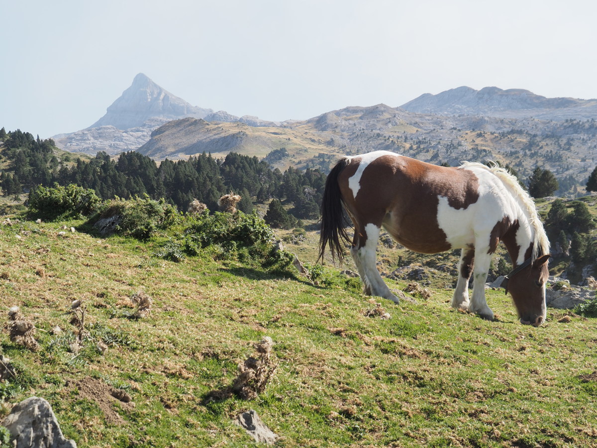
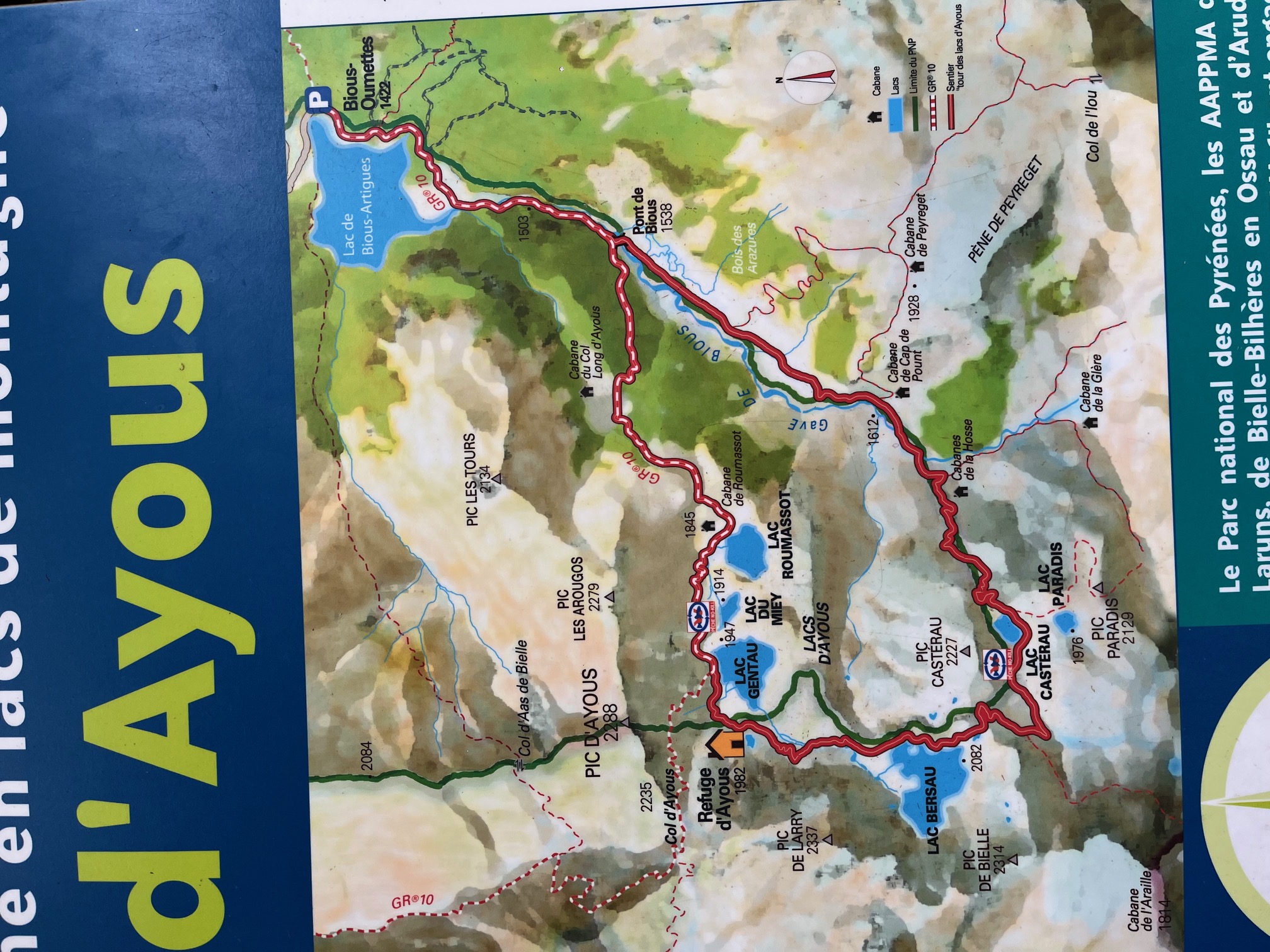
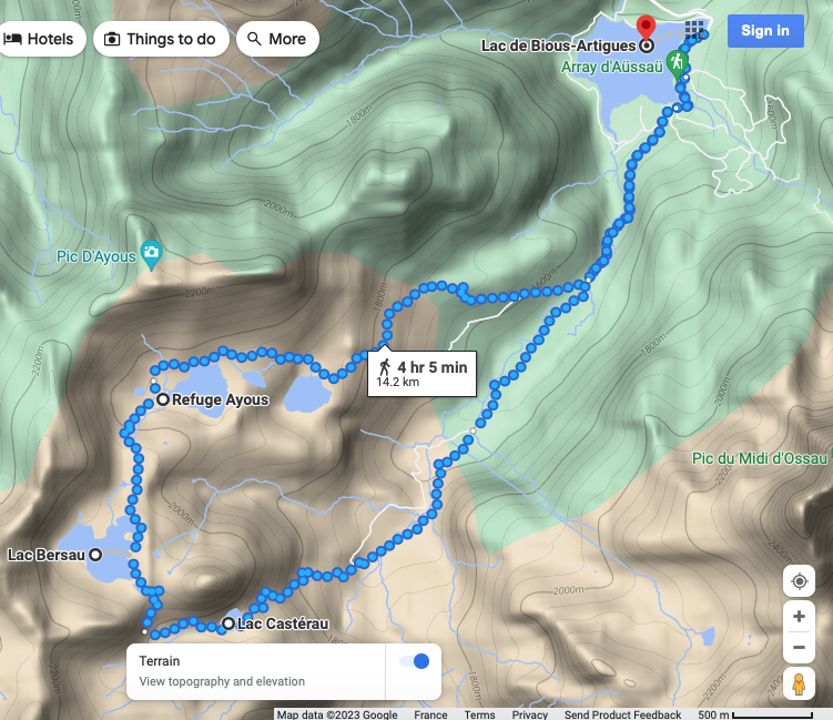
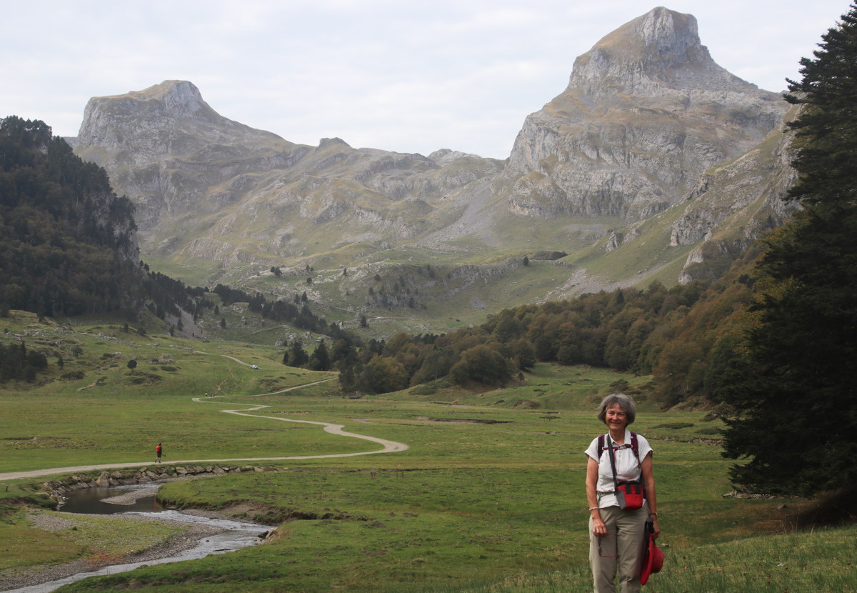
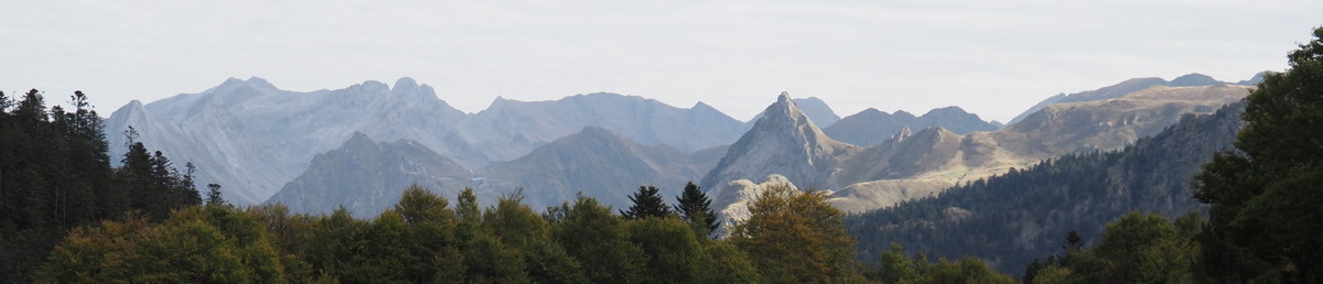
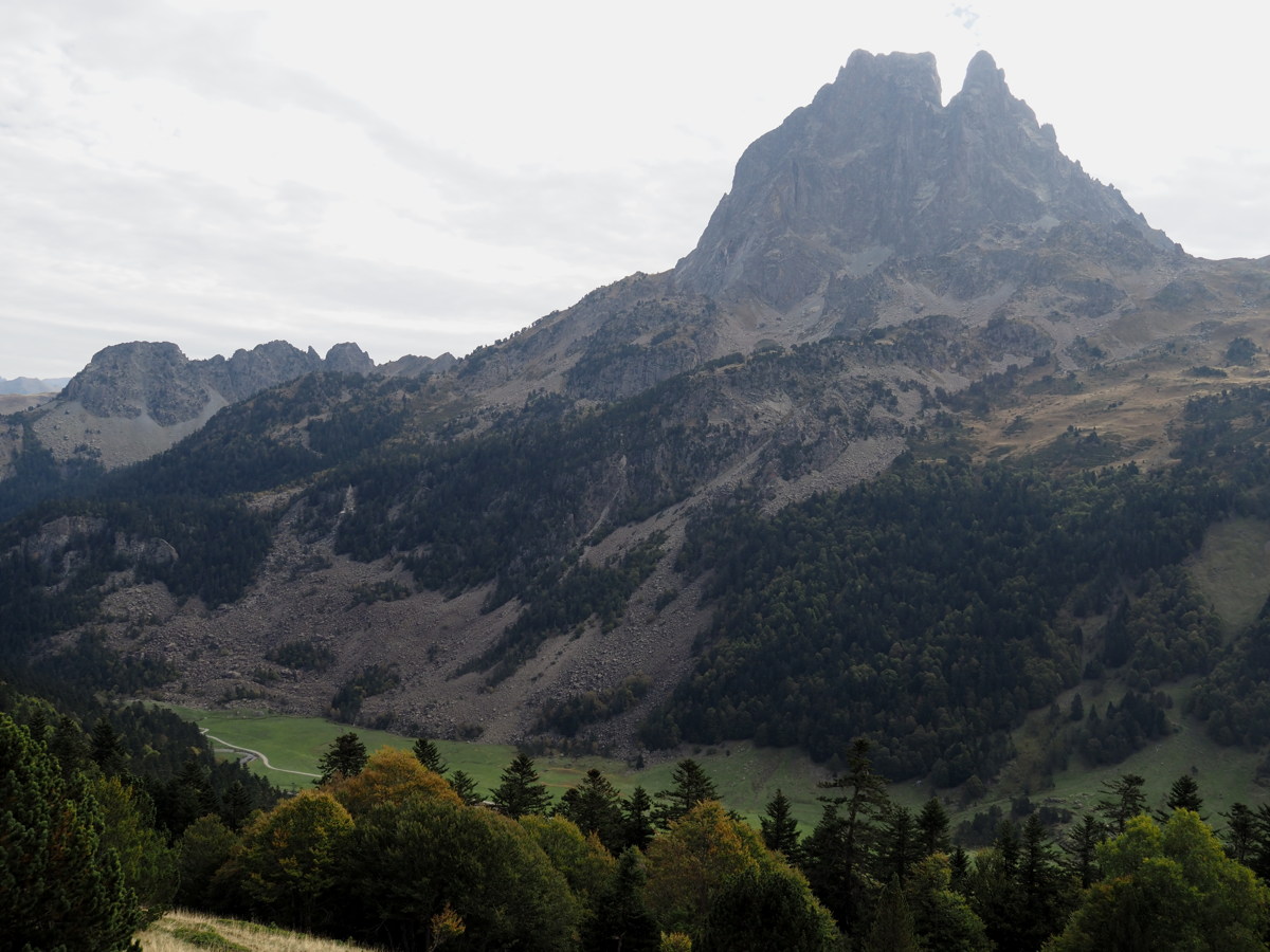
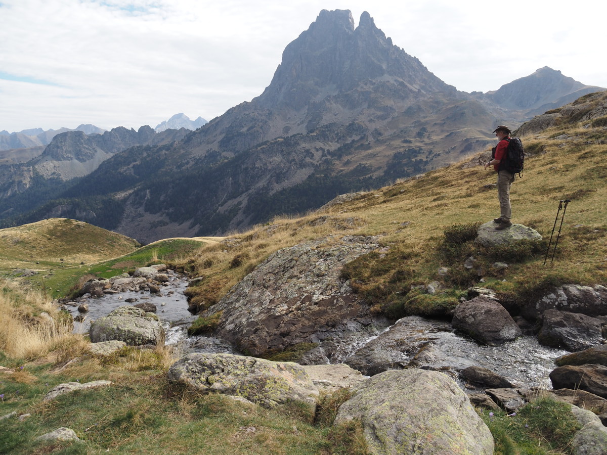
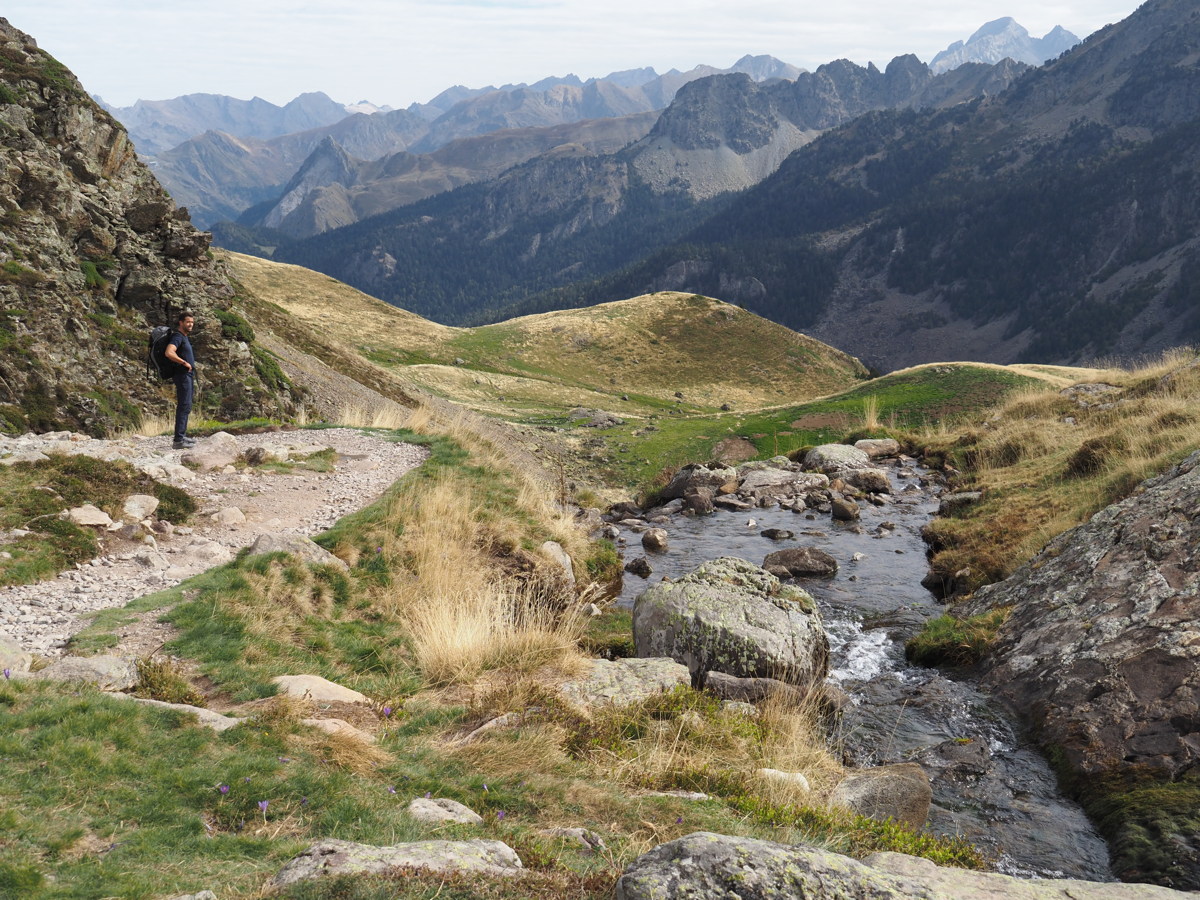
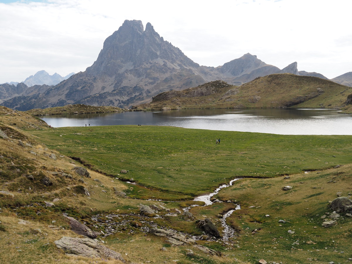
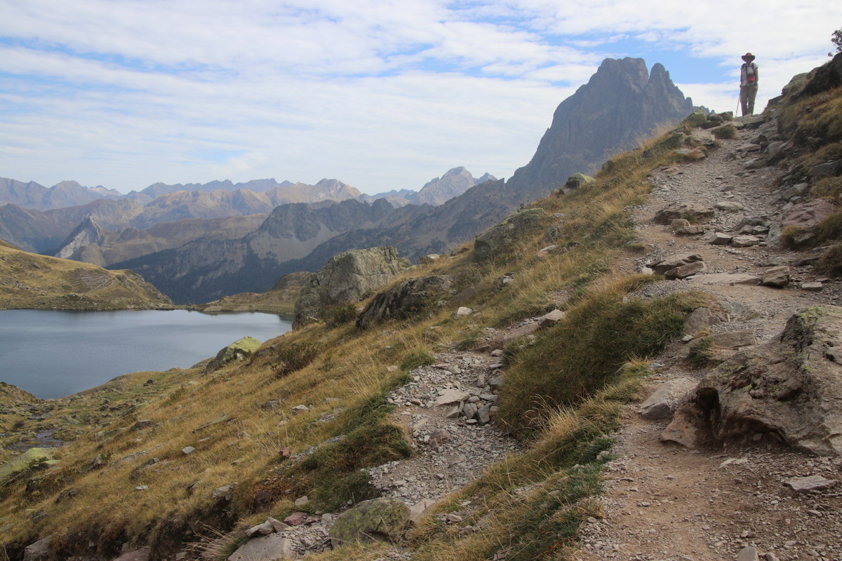
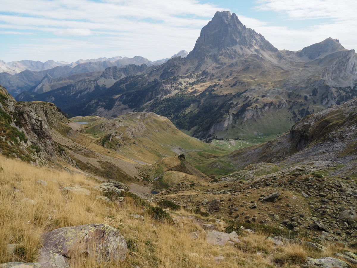
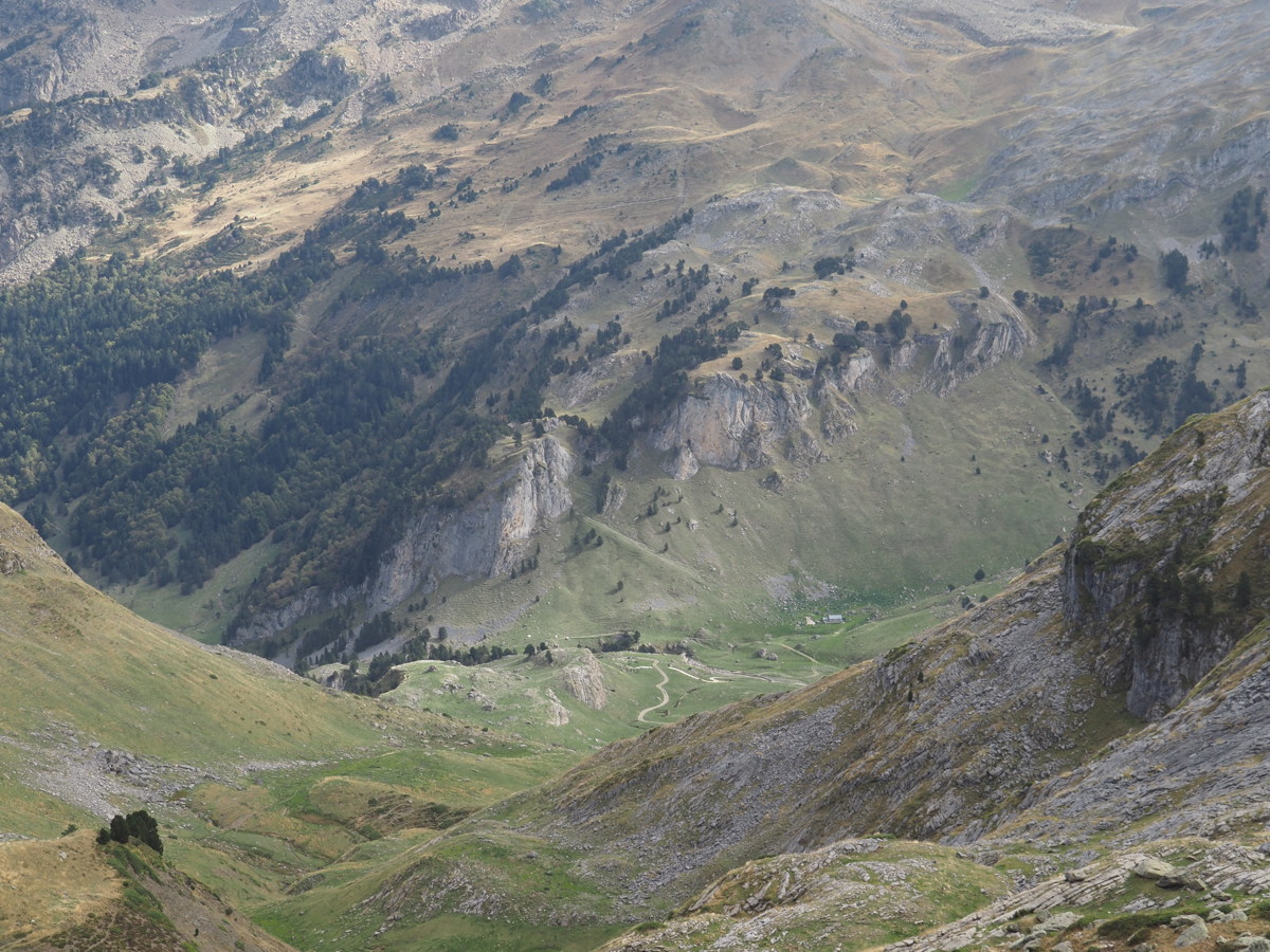
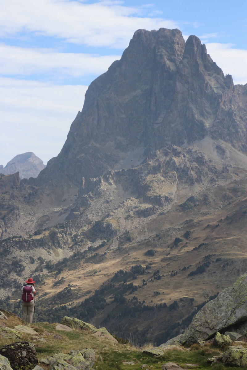
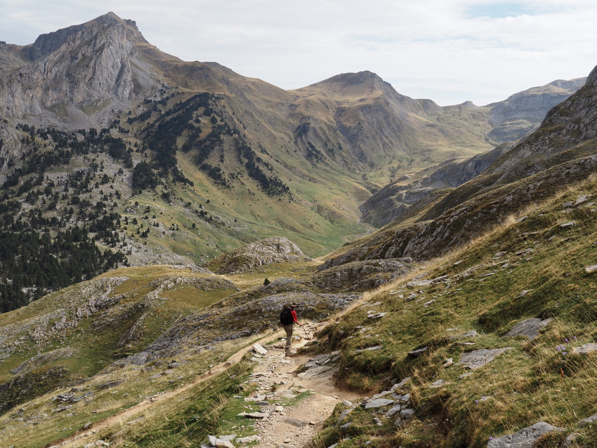
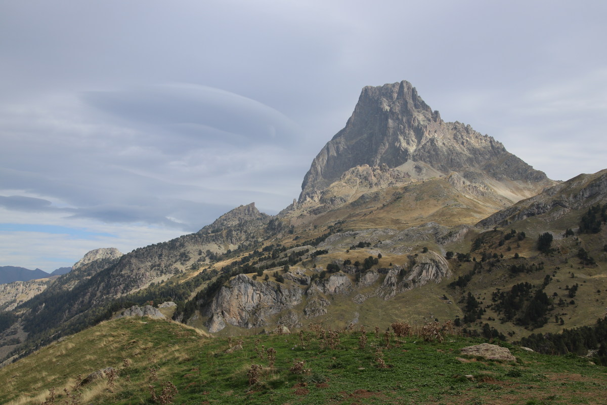
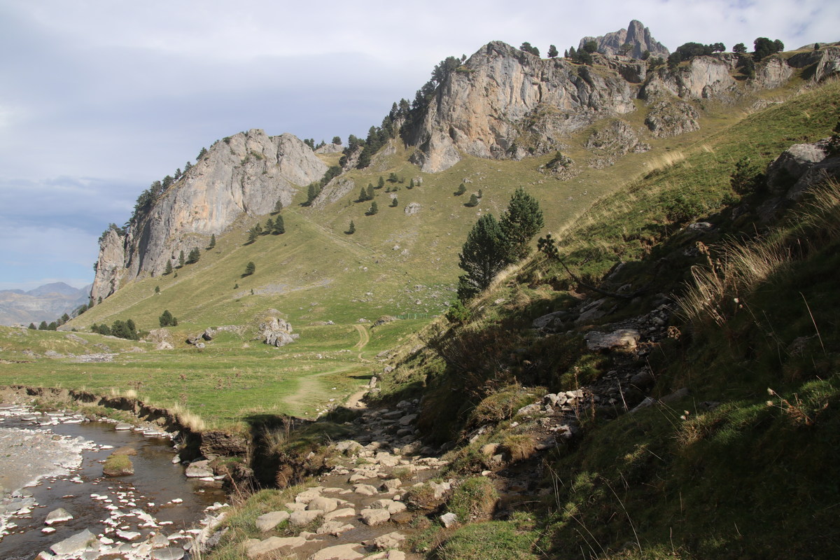
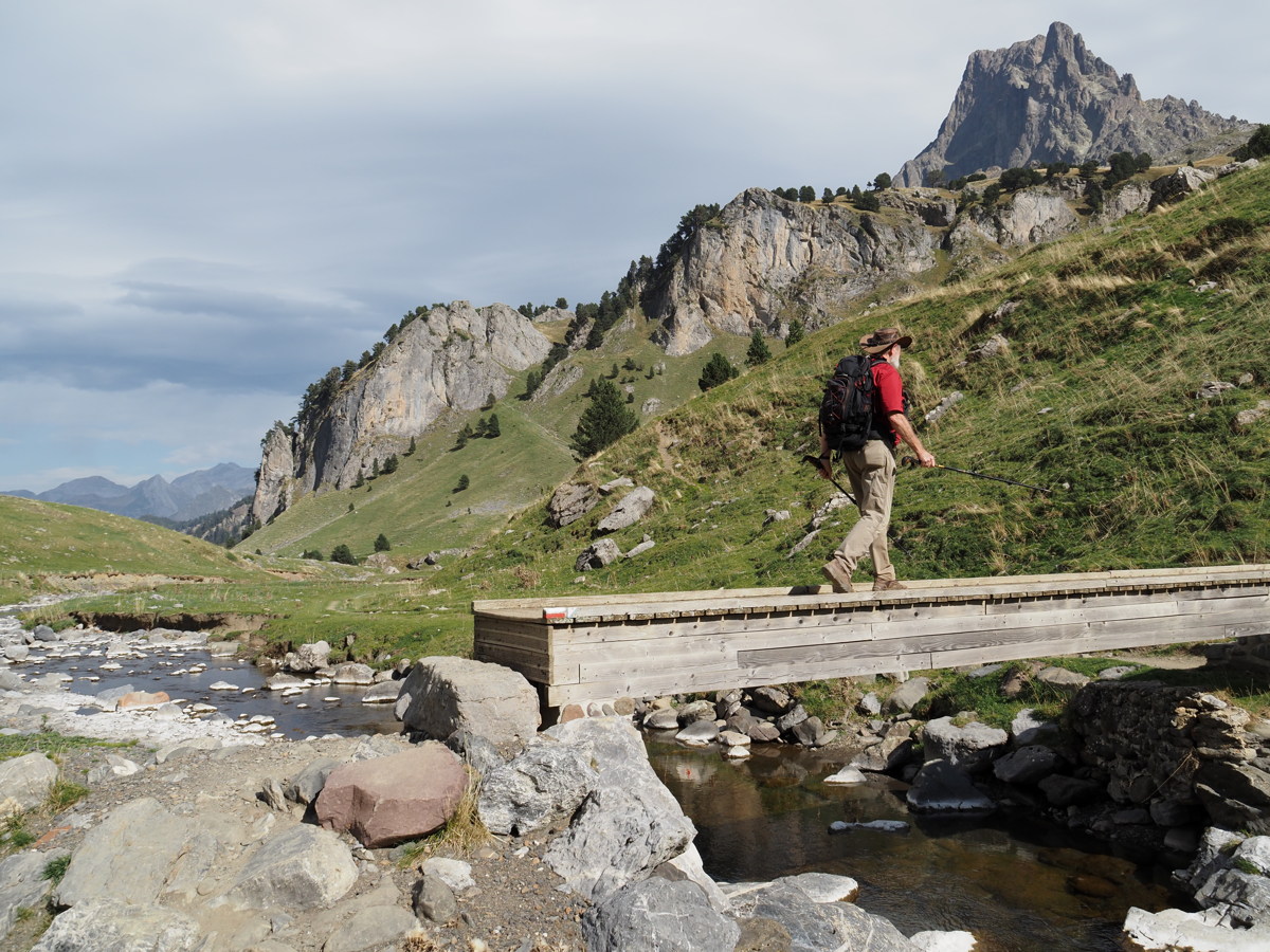
Le Tour des Lacs d'Ayous — 13 October 2023
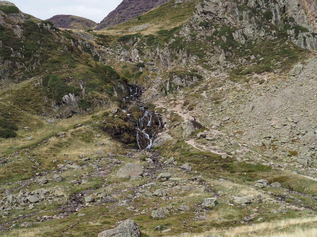
| As our final walk for the trip, we chose a sentimental re-visit to a favourite walk, up around a lake circuit opposite the 2884m Pic du Midi de Ossau (PdMdO). Our previous visits were in 2011, 2013, and 2016 No.1 and 2016 No.2.
It's about 15km and 750m, 1430m-2100m plus some extras. It took 5-1/2 hrs walking plus 30mins for lunch. (Google Maps' indicative 4hrs is for serious walkers). The rocky path beat Roger's body up a fair bit — thank heavens for anti-inflammatories, and, coming down, the poles. |
|
|
|
|
|
|
|
The Valley Bottom, at 1540m.
The main walk goes up through the forest
(right of picture), behind the peak
above Linda's head, and back
down the face (centre of picture) |
The Tourettes, 2500-2700m,
15km ENE, S of Col d'Aubisque |
The Valley from 1770m, and PdMdO |
At 1840m (The cone is
Pic de la Sagette 2031m) |
|
|
|
|
Lac Roumassot 1845m,
Pic Casterau 2227m (= Kosci) |
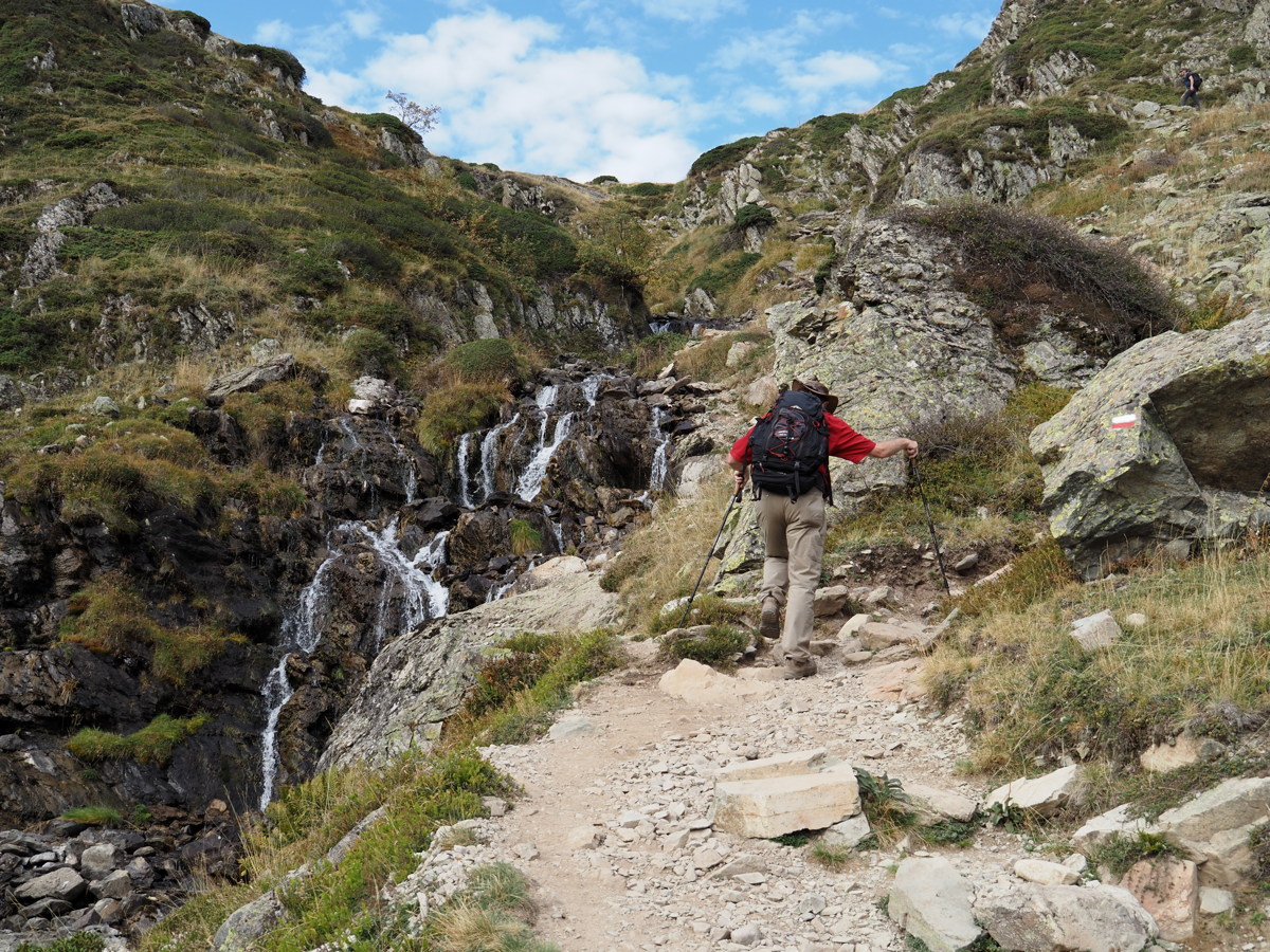
The Falls of the
Gave de Bious |
Rising up the Falls |
The Stream and the Pic |
|
|
|
|
At the top of the Falls |
Lac Gentau and the Pic |
Lac 1947m, Pic 2884m, Linda 2000m |
Lunch at 2050m,
Middle Valley at 1650m ... |
|
|
|
|
... the Middle Valley ... |
... Linda and the Pic |
|
An easy bit, down
towards Middle Valley |
|
|
|
|
The Pic, ever-present, ... |
... lauering over us as we ... |
... worked our way down |
Approaching Bottom-Valley |
This is a page within the Clarke-Spinaze Photo Gallery, home-page here
Contact: Linda or Roger
Created: 15 Jan 2023; Last Amended: 31 Oct 2023


